Back to the Border and to Bull Pasture, Part 2: Quitobaquito and Ajo Mountain

2

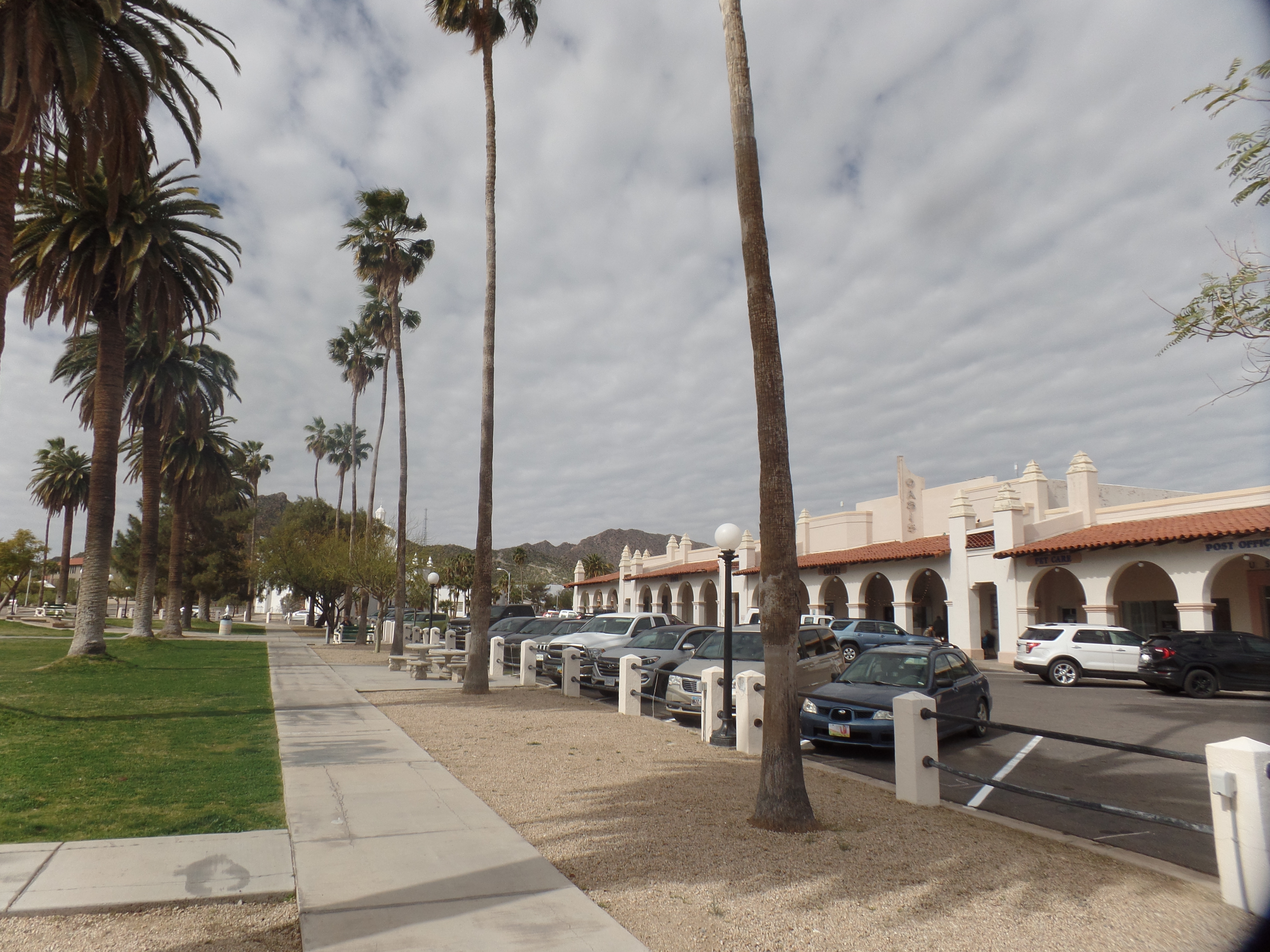
March 14, 2024- I felt rather the middle of a sandwich, the sprinters going down ahead and the lone woman, about my age, hanging back-especially when I stopped to take a photo-which is when she would dart out of sight, only to emerge when I was several steps ahead. Fun fact: We all got back to the parking lot, at Estes Canyon trailhead, at about the same time.

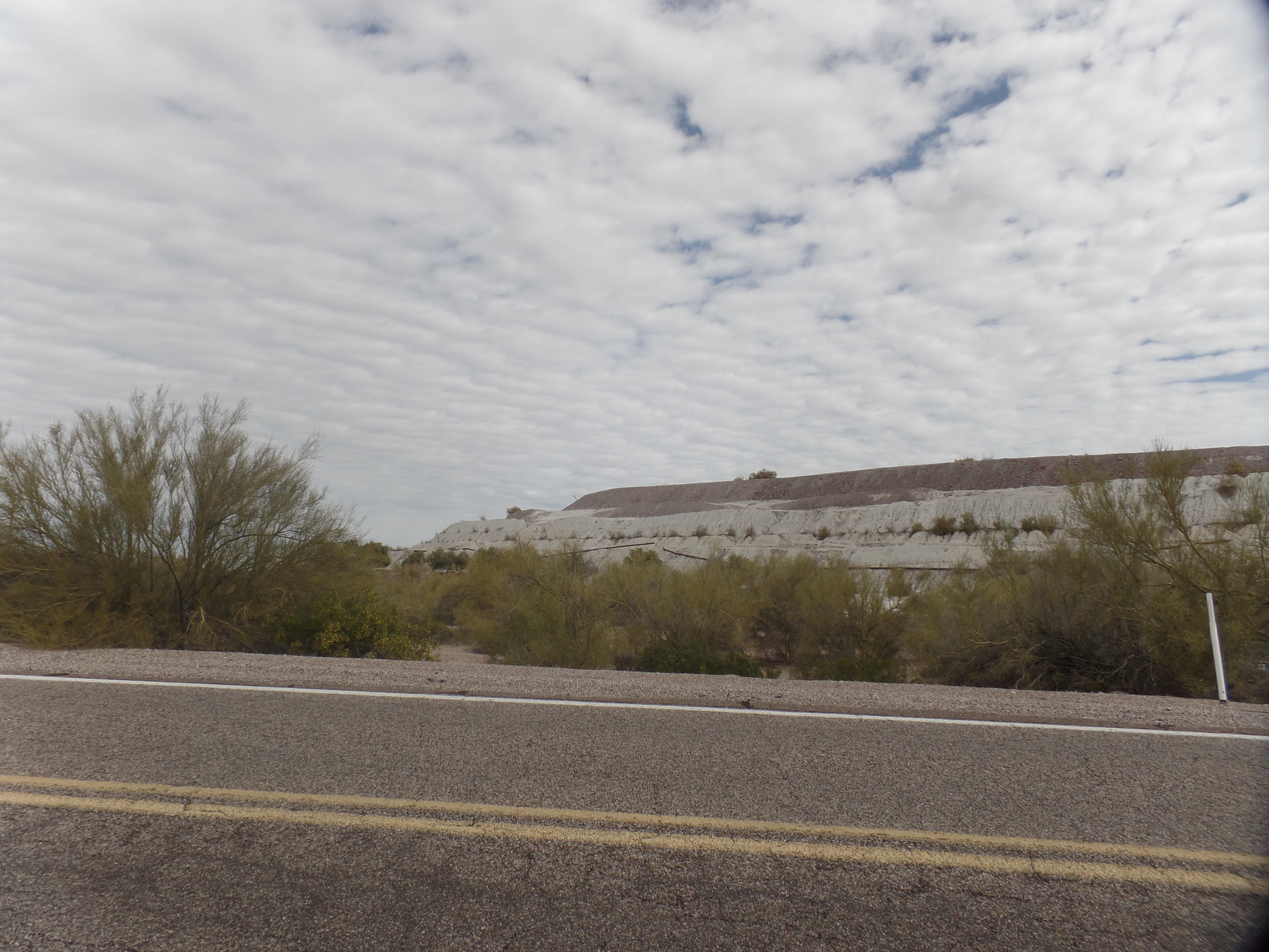
My first order of re-visiting business, to the places my late wife, Penny, and I visited, in 1983, was Quitobaquito. This spot is reached, either by driving down from the Visitor’s Center, via the North Boundary route, or by way of Highway 85. I chose the latter, first stopping for a few minutes in Lukeville, then following the unpaved, but graded, South Puerto Blanco Drive, for fifteen miles. The border wall is visible, to the south, for most of this route. There were no migrants visible, during my visit. Border Patrol agents were on site, at three spots along the wall.

Quitobaquito has no clear meaning, in English, but may be a hybrid Spanish-Tohono O’odham phrase meaning “little spring”. It as several springs, and a small rill to the east, feeding it. When Penny and I were here, it was shallow, and the water looked brackish, although the nearest salt water, in the Sea of Cortez, is still 6o miles to the southwest. Today, though, the pond was well-formed, and had been shored up by stone border-lining.

Trailhead, for short walk to the pond.
Quitobaquito (above and below)

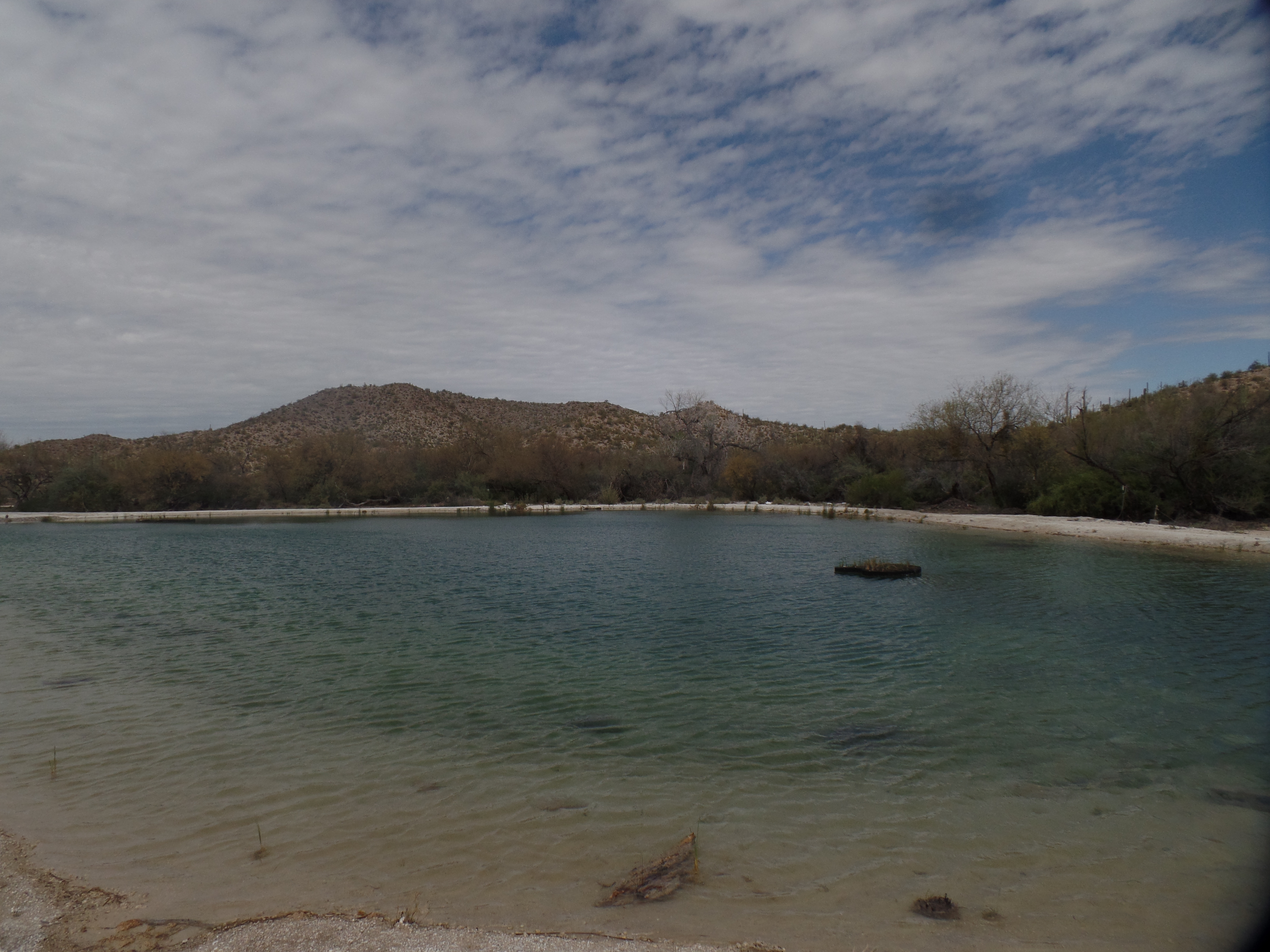
I wonder, though, about the lack of birds, which is an unusual state of being for a pond in the Southwest-or anywhere in North America. It was, in fact, once a very rich environment for birds, amphibians and fresh-water fish. Other than a trio of fellow travelers, I was the only soul around.

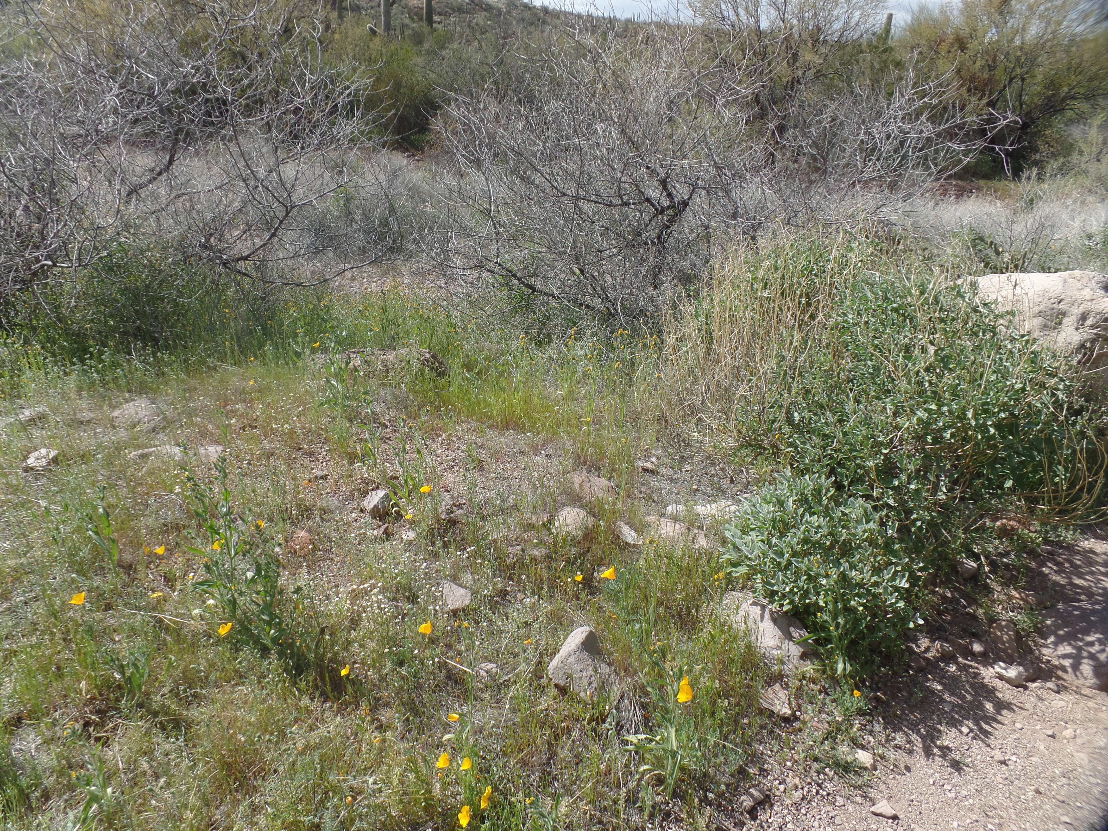
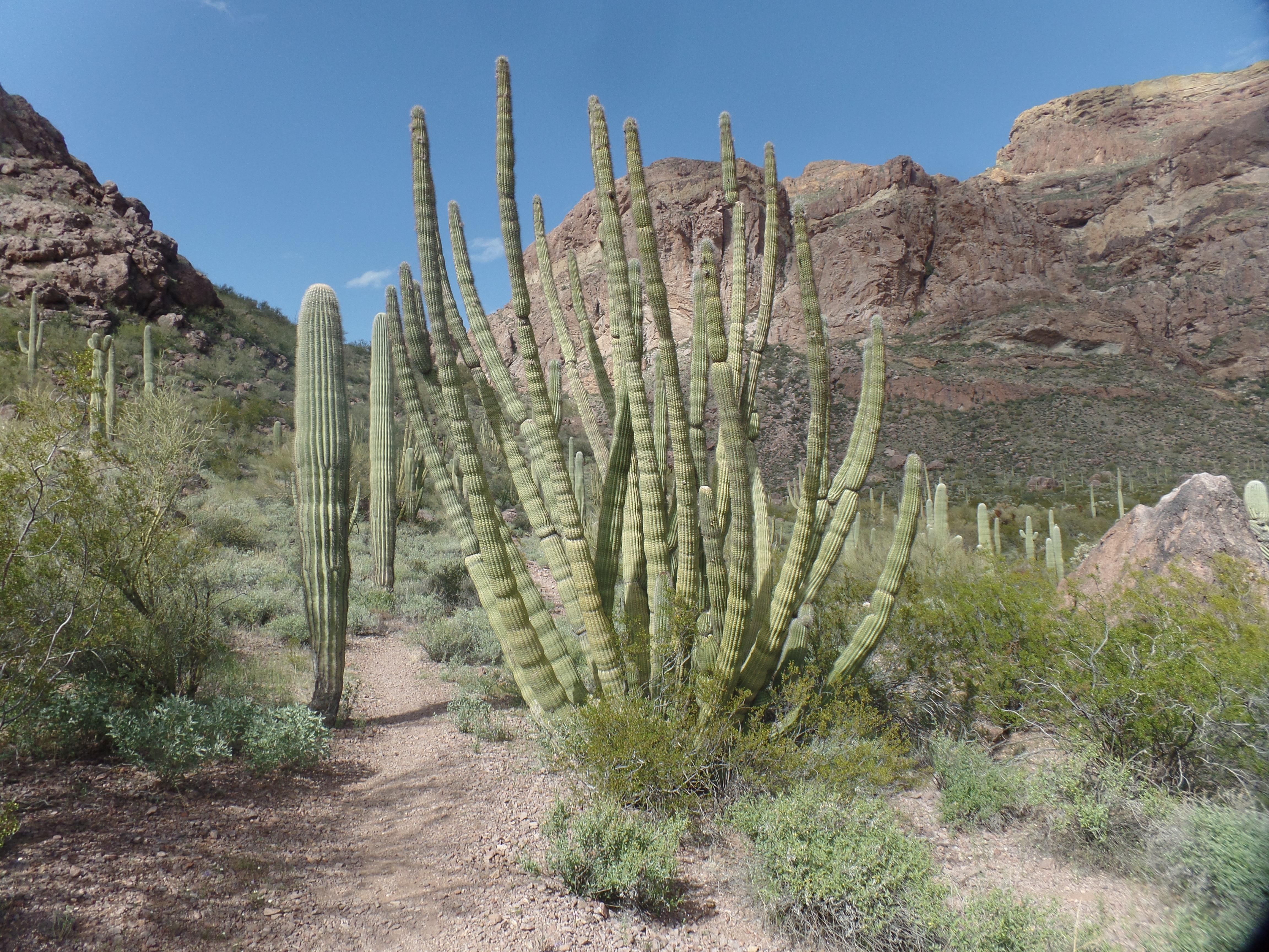
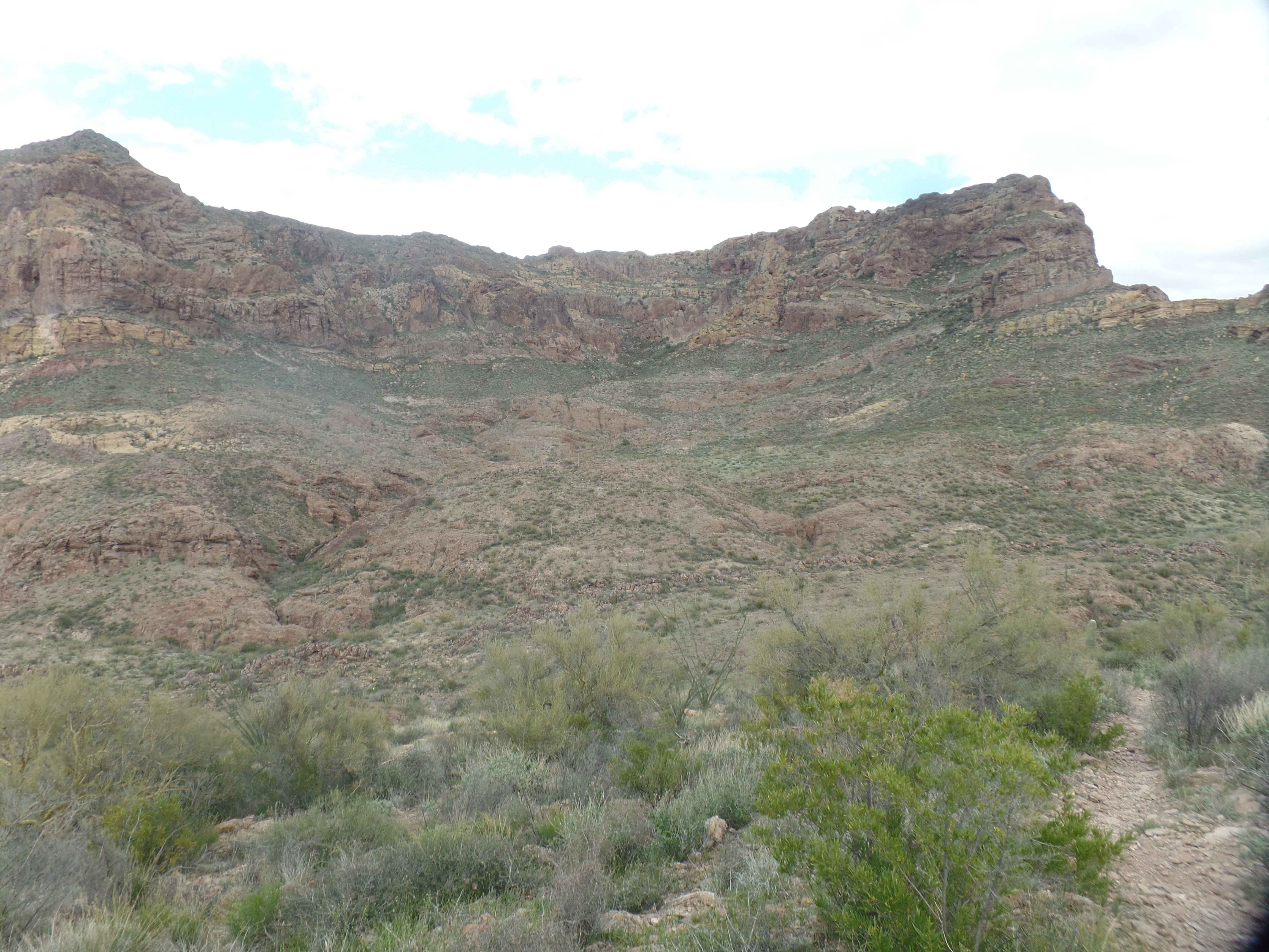
Next up was a return visit to Ajo Mountain, which has several stops of interest, along a 19-mile loop. Penny and I hiked to Bull Pasture, a fairly rigourous jaunt, when in her late twenties and my early thirties. It was a good follow-up, for me, to yesterday’s hike in Montezuma Canyon, 215 miles to the east. Although I have always been somewhat a dawdling hiker, I still made the walk up and back, in about 2 1/2 hours-taking about the same time as those who appeared to be moving much more quickly. They seemed to need more breaks, though, so that evened things out. I like to take a lot of photos, so here are five:

The west face of Ajo Mountain.

Buttercups, the small delights of vast Estes Canyon
Organ pipe cacti are only found in southwest Arizona, Baja California and a swath of northwestern mainland Mexico. Seedlings thrive and grow on rocky hillsides, and then only when protected, for a time, under “nurse trees”, such as mesquite.
There is a sprawling nature to Estes Canyon, a worthy hiking destination, in and of itself.
Whilst in Estes Canyon, I met a couple heading back. The woman said that, in her view, Bull Pasture was more like bull pucky and that Estes Canyon was more pasture-like. Upon reaching the top, I can see that she may not have gone far enough. Here is the view from Bull Pasture itself.
The actual area where Spaniards grazed cattle. Bull Pasture trail continues down from the sign, to a couple of springs. A party of college students and their professor came up from the springs, overtaking me, after a brief conversation. We still met up again, back at the trailhead.
It was, nonetheless, a lovely return to an old gem.

Back to the Border, and to Bull Pasture, Part I: Lukeville and Ajo

2

March 14, 2024- Traffic was bustling, at the Lukeville/Sonoyta Crossing. The place had been closed, a few months ago, with the Federal government bemoaning lack of resources to handle a surge in migrants trying to cross into the United States. It turned out this was mainly a processing issue, and the Arizona National Guard was dispatched to help with ancillary duties, so that the Border Patrol agents could focus on clearing up the processing of those who were seeking asylum, from any one of two dozen countries, and returning those not qualifying for refuge, to Mexico, or to their countries of origin.

The United States/Mexico border, at Lukeville/Sonoyta.

Lukeville had plenty of traffic, going both ways, but the restaurant was closed and the gas station convenience market’s shelves were half empty. I saw little evidence of the crisis of the past few months, other than an active Border Patrol work station, on South Puerto Blanco Drive, that had a few tents set up-either for detained migrants or for agents to get out of the sun. It is likely that they are used for a little of both. These events come in waves, though, so unless Congress and the President can reach an understanding, soon, it is likely to be a long summer of ebbs and flows of both desperate and opportunistic people trying to enter the U.S.

Before all this, and my return to Quitobaquito and Bull Pasture-both within Organ Pipe National Monument (Lukeville also lies within the Monument), I took some time to look around Ajo. Morning’s light, at Copper Sands Motel, revealed this courtyard.

Relaxing spots, at Copper Sands Motel, Ajo (above and below)

In town, there are two stand-out areas of note: The Plaza, and Curley School. Both were built in the 1920s, when Phelps-Dodge Corporation began to realize the peak operation of its copper mines in the area. Curley School is named for the company’s regional manager: Michael Curley. Ajo Plaza, in the style of a Spanish community gathering place, was the one area where the three otherwise segregated ethnicities, Anglo, Mexican and Tohono O’Odham, could mix freely. Today, of course, there is no segregation. I saw people of all racial groups here, as elsewhere in the country-and in each case, they were working in responsible positions.

Here are two views of Ajo Plaza, where several people were gathered, to relax over coffee and tea, or to discuss business.

East side of Ajo Plaza
North side, Ajo Plaza
Ajo Plaza’s Greenspace

Across from the Plaza is Immaculate Conception Catholic Church, also a marvel in white.

Immaculate Conception, from the east side.

Curley School educated all Ajo area students, from 1919-1997. When it was found to be in disrepair, a group of Ajo residents, working with the University of Arizona, developed a renovation plan, and the facility, consisting of nine buildings was refitted as artisan apartments and up-to-date classrooms, for the practice and study of the Fine Arts. Here are three views of the facility.

Main Building, Curley School, Ajo
Inner Classrooms, Curley School, Ajo
Standing Duck Cairn, Curley School, Ajo

As with all such operations, the New Cornelia Open Copper Mine ran out of its product, and has left tailings in its wake.

Tailings from New Cornelia Mine, east side of Arizona Highway 85, south of Ajo.

Hopefully, the area can be cleaned up and restored as a natural area, useful to both people and wildlife. The same ingenuity that saved Curley School would be beneficial here.

NEXT: A return to Quitobaquito and Bull Pasture