The Gem of Solitude

2

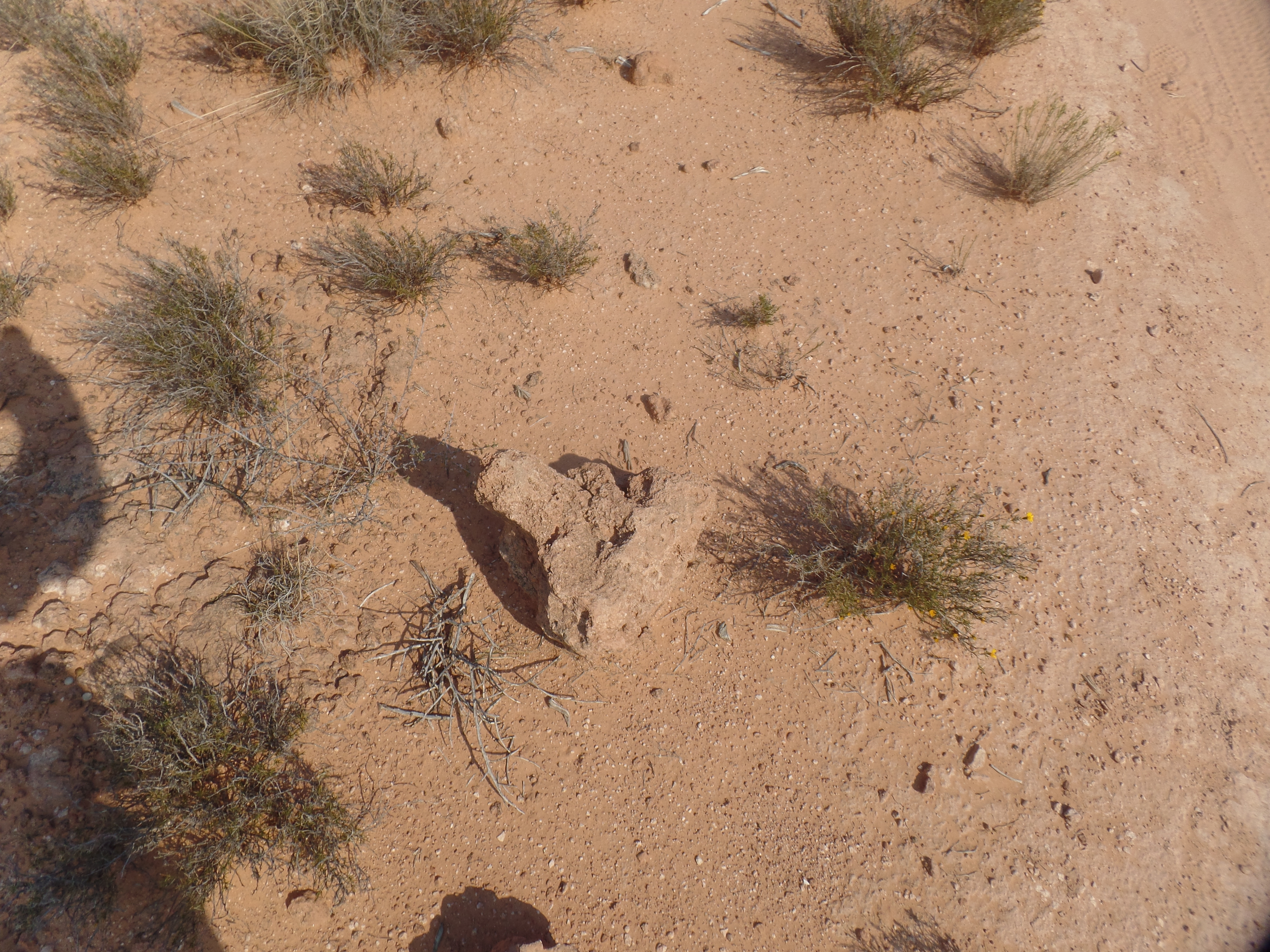
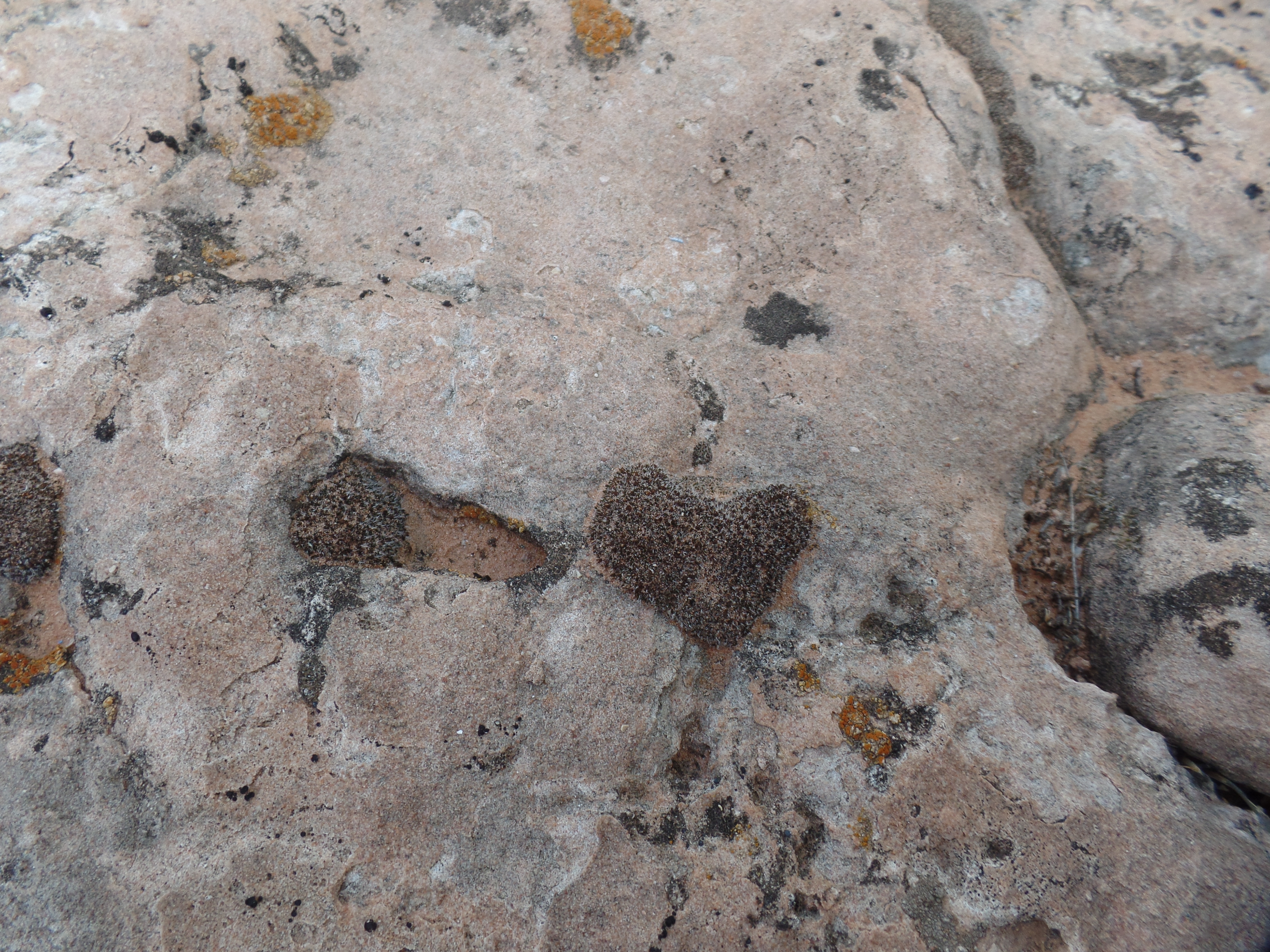
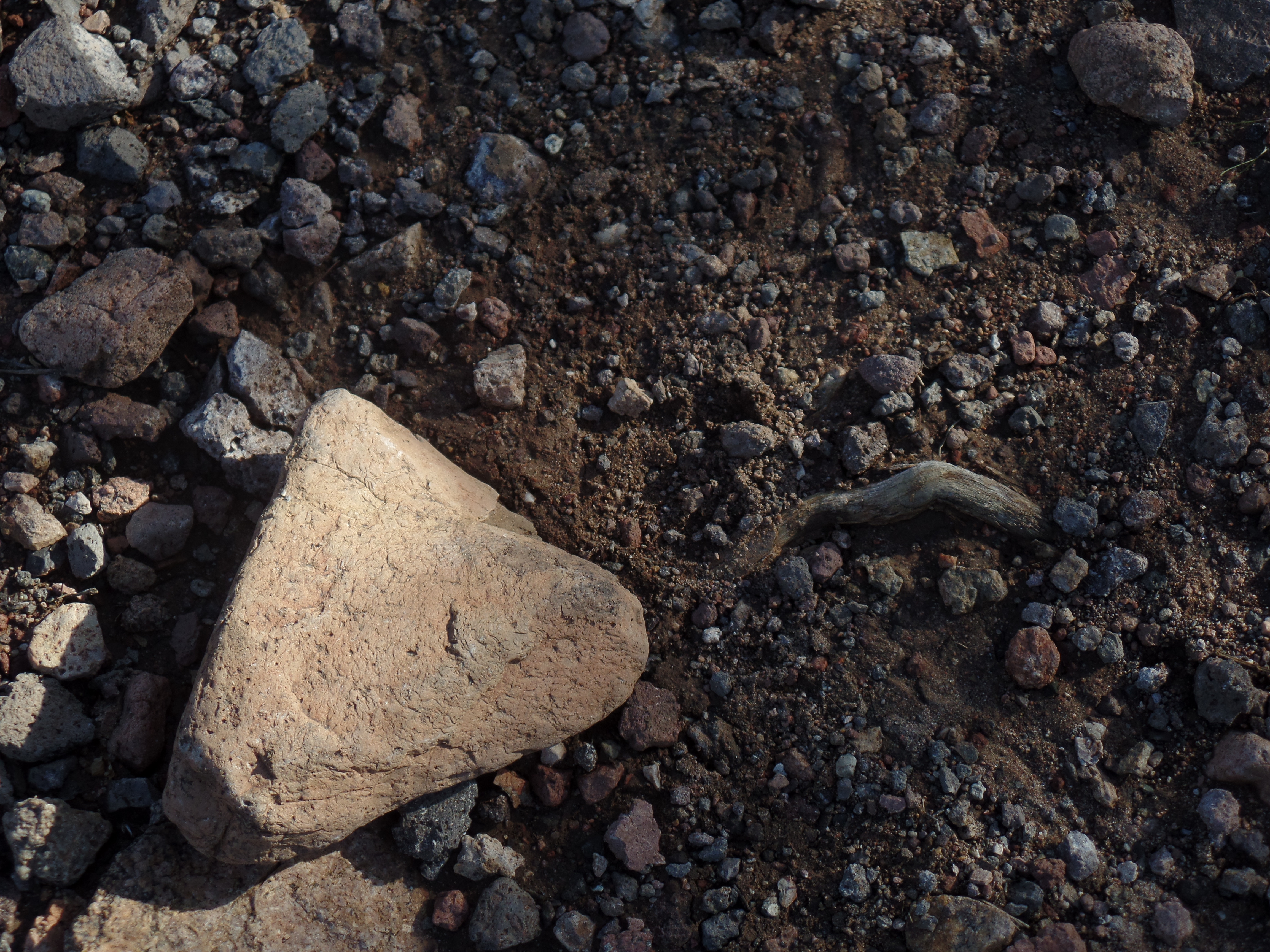
January 30, 2024- I came upon the heart-shaped mineral, admiring its inherent sublime beauty. Picking it up, and feeling its smoothness, just for few minutes, gave me an appreciation of the heat, the pressure and the various cracks and separations that this piece of finery endured, over millennia, to arrive here, along Highland Nature Center’s Trail #4442. I noted that it has, underneath, a perfect heart-shaped indentation in the ground.

A quiet testimony to the love of the Universe

After placing the stone carefully back over its indentation, I thought of the value of solitude. What would I do, if everyone I cared about, including the woman I love most in this world, were to disappear from this life? What would I do, if they all decided they’d had enough, and left me on my own? I would be like the rock, still occupying my space and still reflecting the strength that the Divine has imparted into me. I would be ready for whatever came next.

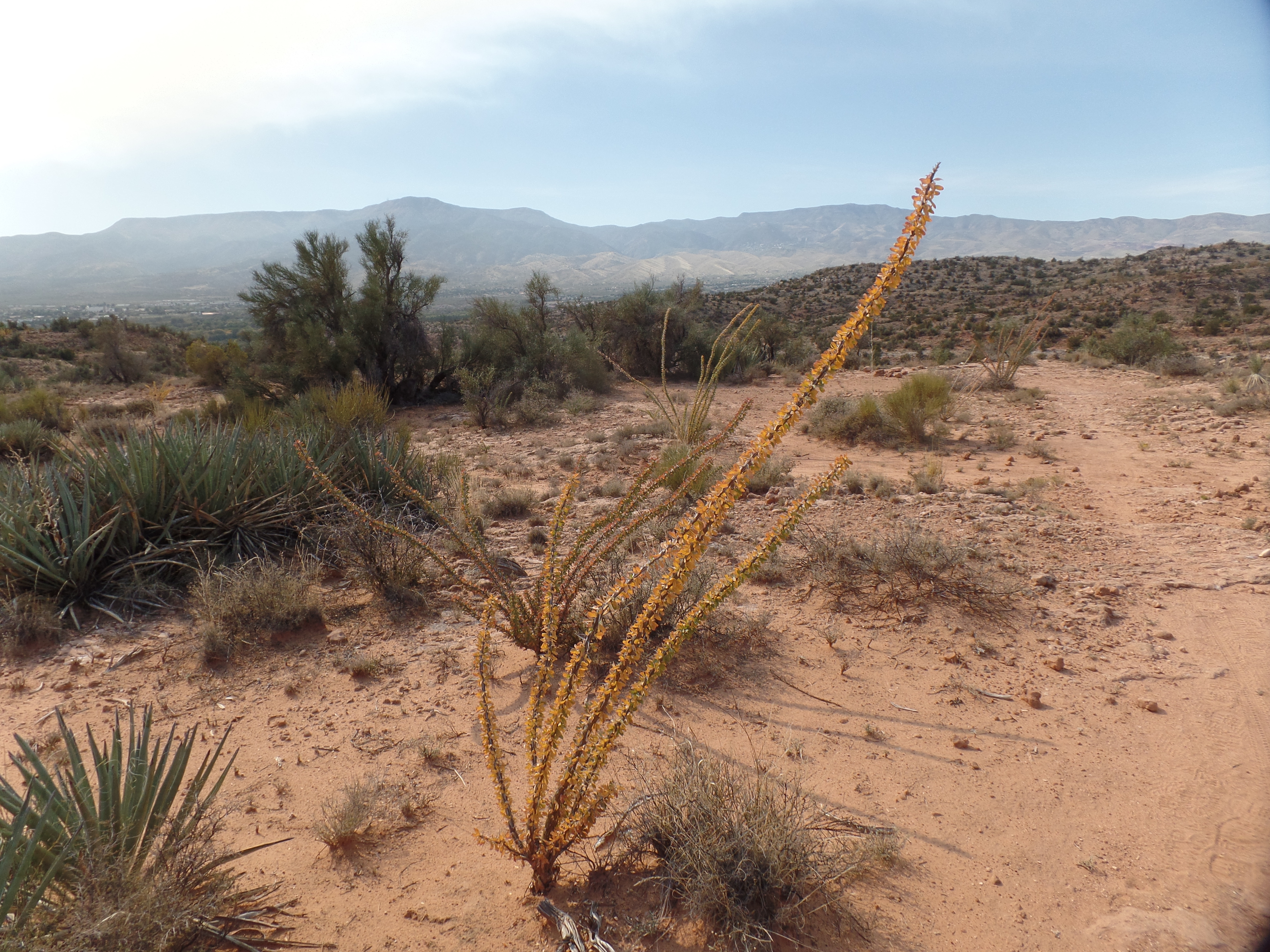
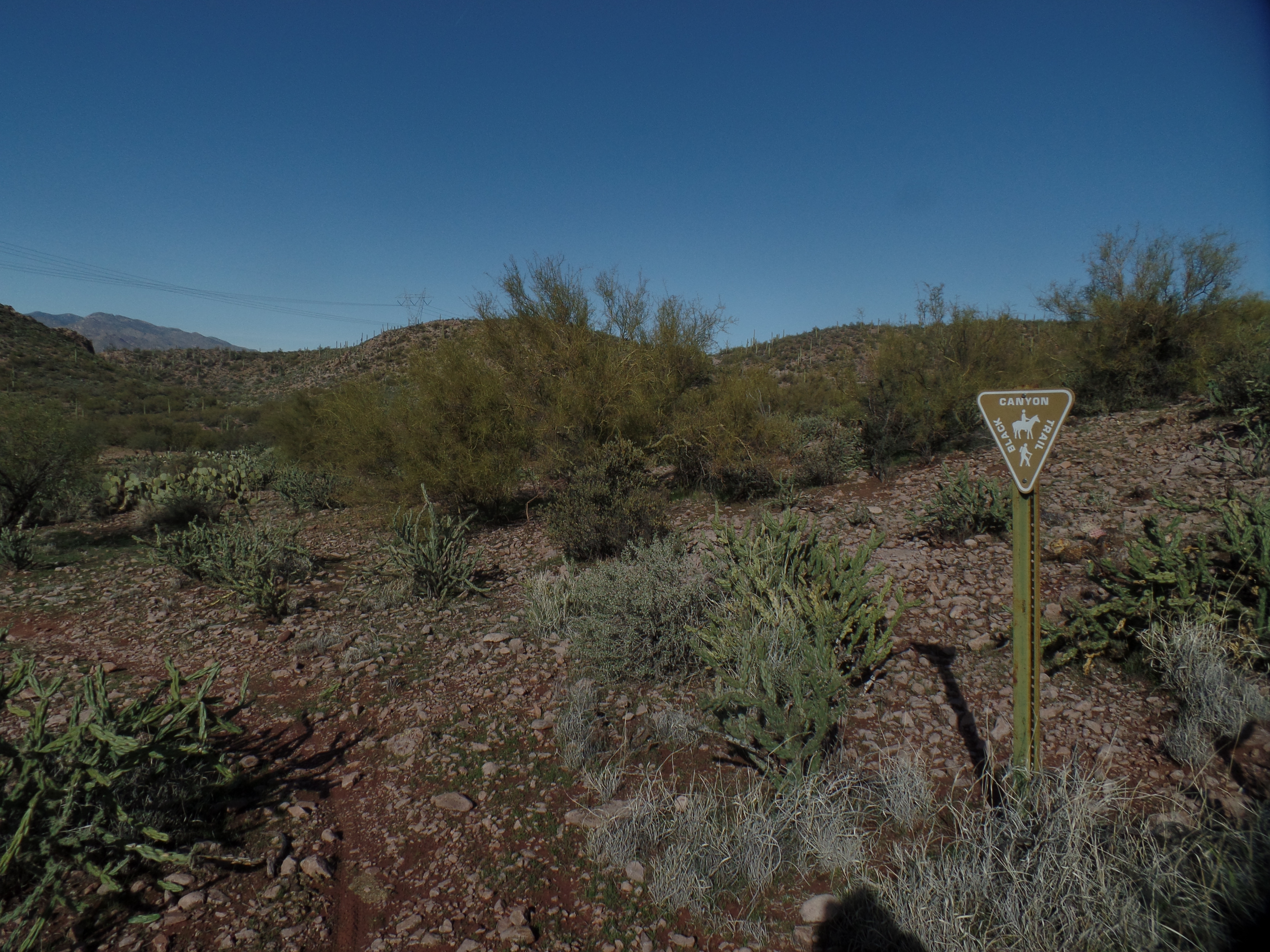
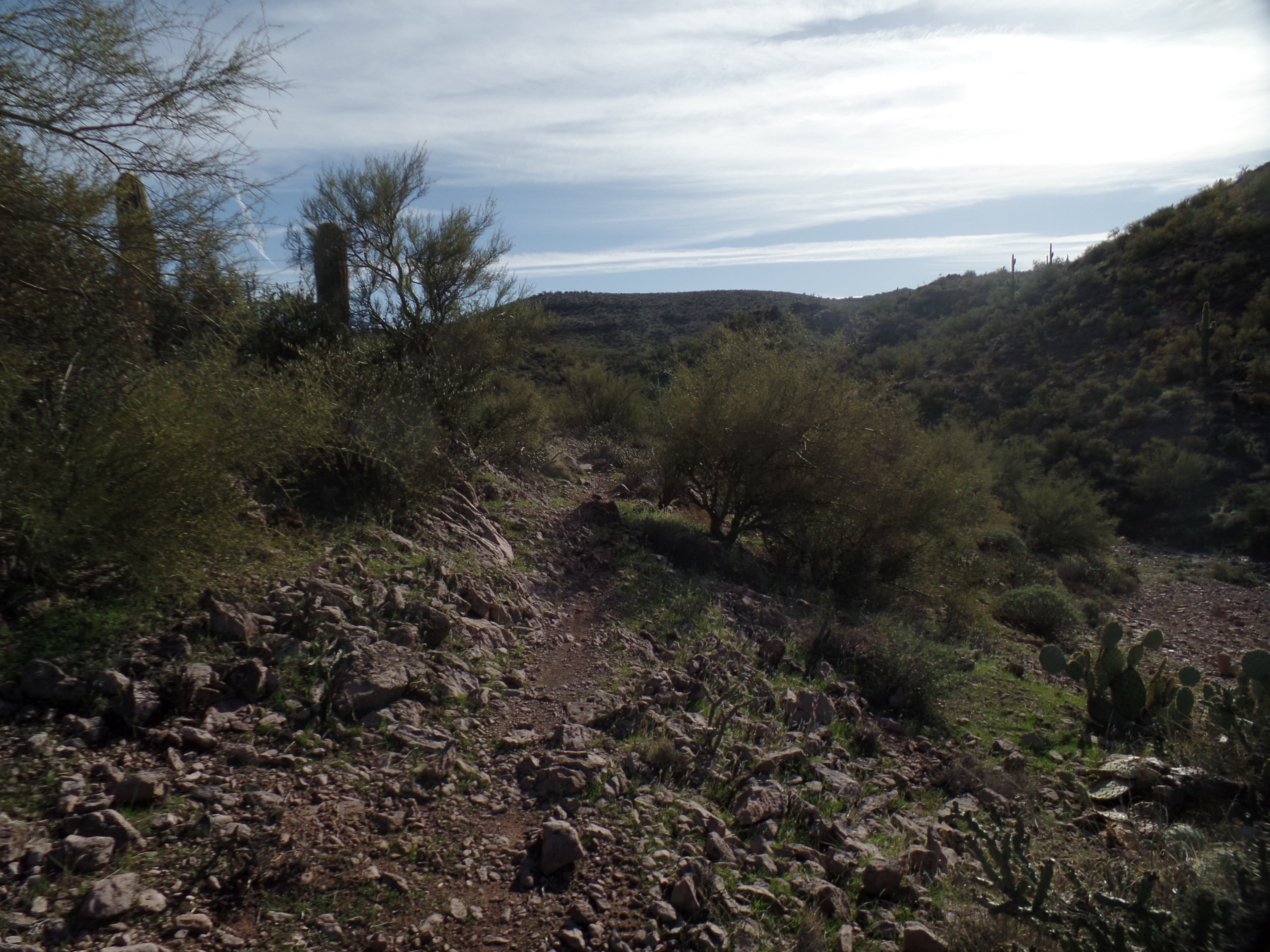
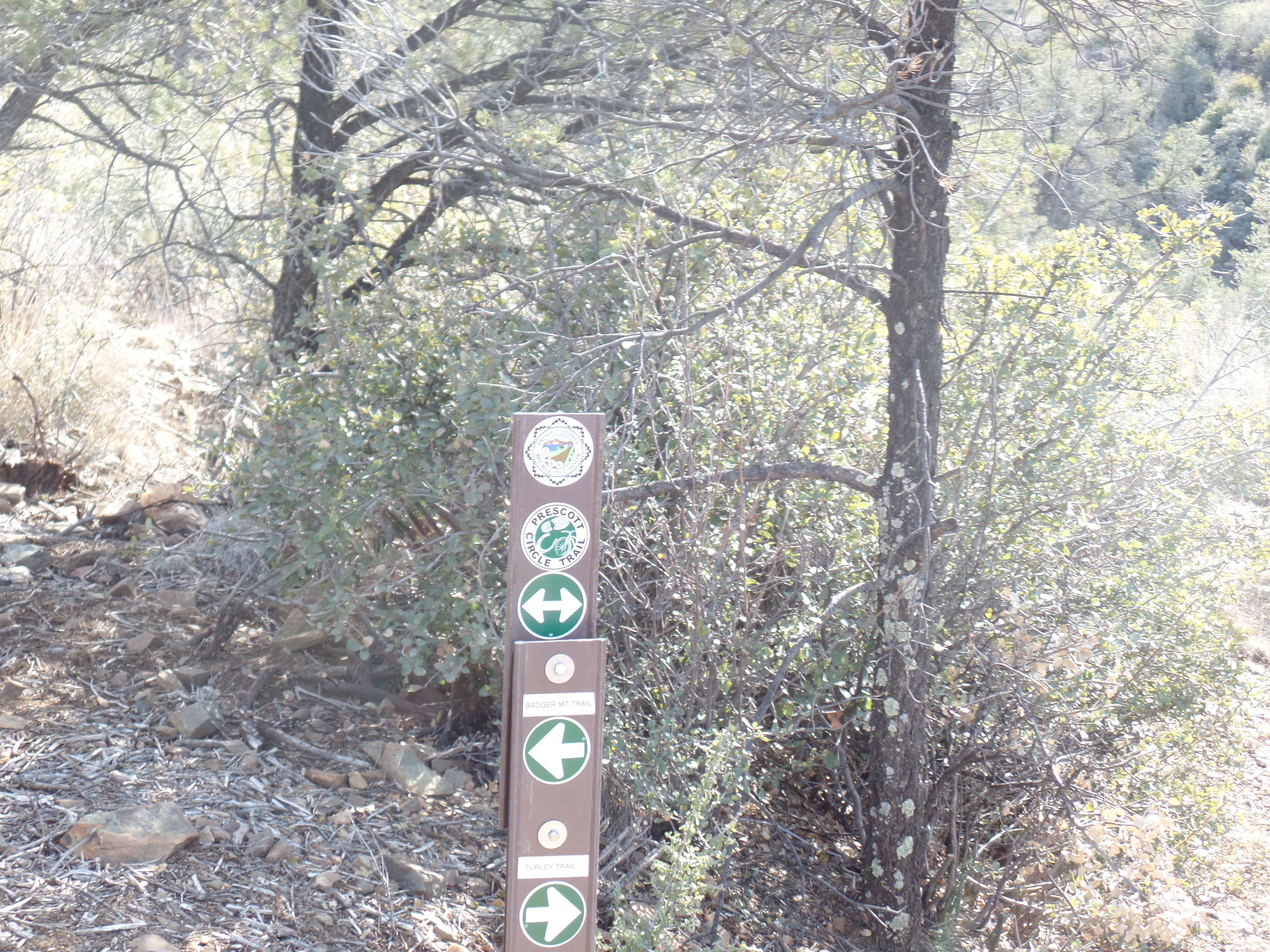
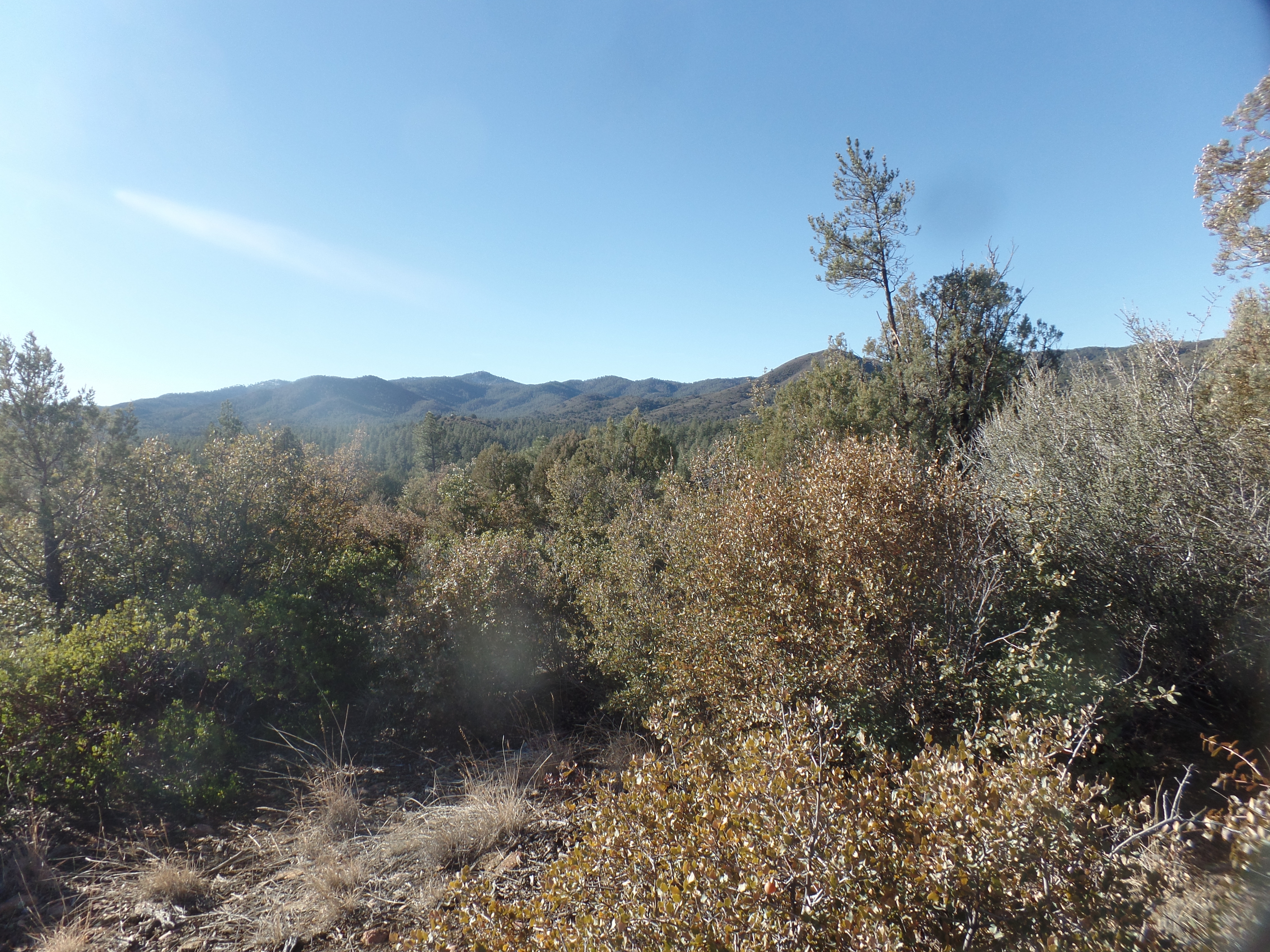
As long as we draw breath, there is a purpose. As long as we have form, shape, solidity, there is a future. I went there, to Highland Center’s trail to Lynx Creek, having not been on it for several years, after another event was canceled, due to a scheduling conflict. The trail showed me the seemingly endless stretch of the Bradshaw Mountains, to the south and southeast.

Bradshaw Mountains, stretching south from Lynx Lake

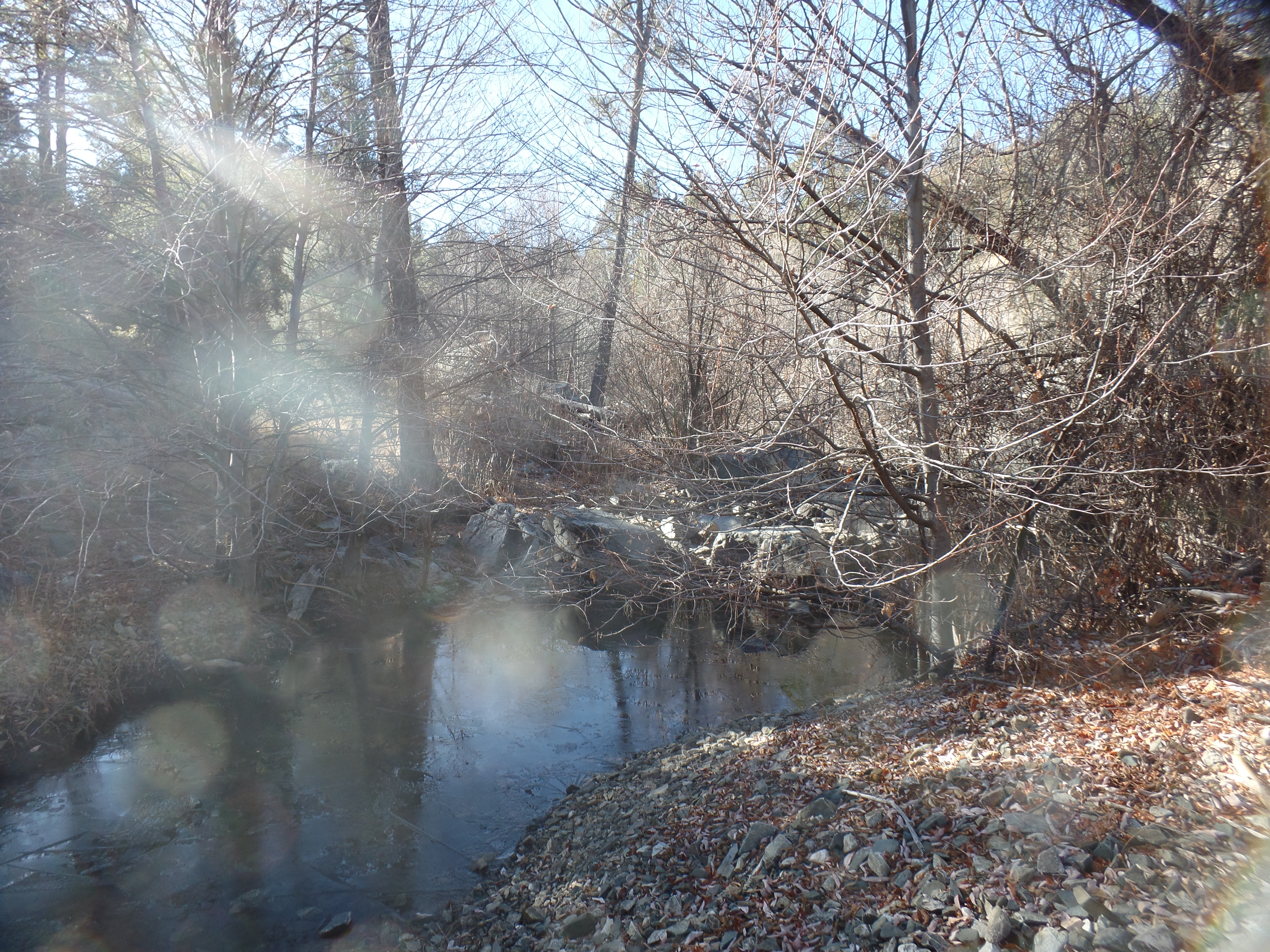
After a stretch, I came to Lynx Creek, frozen on its surface, about a mile from the lake that was formed when it was dammed, in 1952. Of course, being Arizona, the ice is scarcely an inch thick.

Lynx Creek, at Highland Nature Center

Coming out of my reverie, I recognized that this morning of solitude was largely due to everyone else being busy with life, as I am myself, most days. My dearest, across the ocean, was asleep-and besides, she is in the midst of a very busy week. My friends here are likewise dealing with life’s happenings. I will be back in that regimen, myself, tomorrow and for the rest of 2024’s fifth week. Today, though, it is as if I have Planet Earth to myself-looking at the stretch of the Bradshaws, this morning and at the shimmering oak tree, in my neighbour’s front yard, as I write this piece.

Here is a gratuitous reminder of that regimen, from yesterday’s trip to Phoenix: The Arizona State Capitol.

The house with the copper dome

Limekiln Trail

2

October 21, 2019, Cottonwood-

Being a sucker for distance trails which can be hiked easily in segments, I’ve managed to complete the Prescott Circle and Black Canyon National Recreation Trails, over the past five years.  Limekiln Trail, which stretches from Deadhorse Ranch State Park, here in Cottonwood to Red Rock State Park, in Sedona is the latest undertaking.

It is a fifteen-miler, one way.  So, this morning, I headed out on a whim, and parked at the Middle Lagoon, of Deadhorse.  Up past the actual Lime Kiln, a defunct lime quarry, I bid a good day to a couple who were inspecting it from a distance and headed towards my goal of what I thought would be the 6.5 mile post. (I ended up at the 4.5 mark, before heading back,  due to sunset and park closure concerns, but no matter).

Here is a view of the kiln.

SAMSUNG CAMERA PICTURES

The first 1/2 mile or so, is the only real climb, on this segment of the trail.  I spy a rock face, looking me over, from the rim of Rattlesnake Wash Ravine.

SAMSUNG CAMERA PICTURES

This granite outcropping resembles a dinosaur rib cage.

SAMSUNG CAMERA PICTURES

Heart-shaped objects would be abundant, today.

SAMSUNG CAMERA PICTURES

Here are a couple of views, from the north side of Rattlesnake Wash Ravine.

SAMSUNG CAMERA PICTURES

SAMSUNG CAMERA PICTURES

Yes, central Arizona has its fall foliage.  These ocotillo are putting on their mini-show.

SAMSUNG CAMERA PICTURES

SAMSUNG CAMERA PICTURES

Yuccas also send their wishes skyward.

SAMSUNG CAMERA PICTURES

Limekiln is a very well-marked trail, especially with other Forest Service trails, intersecting, towards the 2-mile mark.

SAMSUNG CAMERA PICTURES

Around the 4.5 mile mark, Highway 89-A is visible in the distance, and long ago volcanic activity is evident.

SAMSUNG CAMERA PICTURES

I took a rest break, snacking on beef jerky and baklava, whilst sitting next to this welcoming lichen.

SAMSUNG CAMERA PICTURES

Igneous rocks, of course, also extend their welcome.

SAMSUNG CAMERA PICTURES

Carefully-maintained cairns keep the visitor on the right path.

SAMSUNG CAMERA PICTURES

Lastly, more ocotillos bade me farewell.

SAMSUNG CAMERA PICTURES

The rest of Limekiln will be hiked in two segments, sometime during the next five weeks:  Mile 9, alongside Highway 89-A to the bench where the heart-shaped lichen is found (Mile 4.5) and Red Rock State Park (Mile 15) to Hwy 89-A.


Table Mesa, Part IV: Boy Scout, Not Out

0

December 26, 2016, New River-  This small settlement’s hinterland drew me back, yet again, this time to complete a twelve-mile round trip to the edge of a course called Boy Scout Loop.  I am not sure I actually found it today, either, but I did walk six miles each way, and stayed on the BCNRT, until coming to a loop’s end.  It just wasn’t identified as “Boy Scout”, and the purists insist it would have been.

No matter, this was my fifth visit to Table Mesa trailhead, and the last for a while.  Here are some scenes along the segment I hiked today.SAMSUNG CAMERA PICTURES

The trailhead, on the southern side of Forest Road 9950, got me headed in the right direction, towards a long mesa to the west of here.

SAMSUNG CAMERA PICTURES

The trail continued to be somewhat rugged, in spots, as I made my way along the long mesa’s eastern edge.  Mostly, though, this segment passes through long desert valleys, with mesquite and saguaro forests.

SAMSUNG CAMERA PICTURES

Here is a southern view of an outcropping I passed about a month ago, during a hike along Forest Road 9950.

SAMSUNG CAMERA PICTURES

Heart-shaped rocks have always reassured me that I am on the right path, and am surrounded by love.  I saw many more such stones this time, than I have in  while.

SAMSUNG CAMERA PICTURES

This remnant of a miner’s crate is on what I took to be the northern edge of Boy Scout Loop.  At any rate, it’s near where I turned and began heading back.

SAMSUNG CAMERA PICTURES

This is one of the mesquite forests I encountered, on this relatively easy trek.

SAMSUNG CAMERA PICTURES

I saw nary another human on this hike, although there were many target shooters on the Table Mesa range, whom I could hear to my east, for much of the jaunt.  These mule deer were in a safe spot, though, and were my only visible companions.

SAMSUNG CAMERA PICTURES

There is a dormant volcano, about six miles east of here, which did cast igneous rock far afield, several thousand years ago.  Here is one remnant of that outburst.

I again found my flashlight very handy, with part of the trail having been obliterated by Saturday’s rain storm, and my having to follow a dry creek-bed part of the way back.  Having basic knowledge of the topography, it wasn’t long before I found the trail again, even with moonless conditions.

The final two segments of BCNRT will begin from New River’s Emery Henderson Trailhead.  It looks like January 8, and later on in the month, will allow time for those finishing touches.

Prescott Circle Trail: Segment 7, Part II

2

January 3, 2016, Prescott-  This weekend is billed as the last stretch of fair weather, before a series of storms takes up the entire first week of January.  I spent yesterday afternoon with that in mind, heading for the southern portion of the above-mentioned trail segment.

The trail I followed was only completed in July of last year, following a multi-party easement that involves the Prescott-Yavapai Indian Community, the Bureau of Land Management, the U.S. Forest Service, the State Land Trust and the City of Prescott.  It was the last large link in the trail system.

So, it was with great satisfaction that I was able to do an 8-mile round trip, from Turley Trailhead, at the west end of Government Canyon, along the edge of that sizable chasm, around Badger Peak (also known as “P” Mountain), in back of three shopping plazas, to the edge of Highway 69, where an underpass links the trail with the last segment I covered, in late Fall of last year.

The trail was mostly modest, or so it seemed to me.  Two young women came the other way, with their dog, and told me they thought the eastward trail was easier than the way I was heading.  Somehow, I did not find either way all that taxing.  I’m sure they would do just fine, being at least thirty years my junior.

Here are a few scenes from trailside.

SAMSUNG CAMERA PICTURES

Limestone crag, on north side of Badger Peak, Prescott.


SAMSUNG CAMERA PICTURES

Junction of Turley and Badger Peak Trails.


Above, the P on Badger Peak’s north side is visible, as is frost on the trail.

The day ended perfectly, with a sunbow appearing to the northwest.  Along with the nearly two-dozen heart-shaped rocks I spotted along the way, this augurs well for my 2016.