
April 9, 2016, Prescott- My companions today were about a dozen bicyclists, a few lone hikers, three herds of deer and birds-lots of them. A wild turkey, or two, could be heard gobbling in the woods above Manzanita Creek- about a mile from Copper Basin Road.
With my Saturday afternoon appointment canceled, due to illness, and with a break in the storms, the trail called-loudly. Who am I to turn down Mother Nature?
Choosing to use paved Thumb Butte Road, and one of its turnouts, as a safe place for my car, I opted to start the hike at the end point, and do the entire 10-mile round trip in an afternoon. The jaunt took 4 1/2 hours.

Miller Creek, near Thumb Butte Road
There are several creeks, coming off the Sierra Prieta, in this section of trail. Miller Creek is the northernmost, followed, north to south, by Butte, Aspen and Manzanita- which has the nicest little canyon in the area.


As I made my way up Porter Mountain’s northeast peak, also called Williams Peak, it was telling, just how severe the Indian Fire of 2002 was to this area, itself so close to the Granite Basin, which was later to be ravaged by 2013’s Dolce Fire. These collective memories, compounded by the dire tragedy of Yarnell Hill (which followed Dolce by two weeks), make us here in Prescott that much more grateful for this morning’s rain- and that which is expected to follow, this coming week.

Cloud, reaching up from base cirrus.
As if offering confirmation of my thoughts, a cirrus finger reached up from its base cloud, towards other clouds above.

Granite Mountain, from Williams Peak
Williams Peak offers a fine vantage point for the majesty of Granite Mountain.

A pair of Arizona Woodpeckers hung around, while I was admiring the scenery, so I obliged them with a portrait.
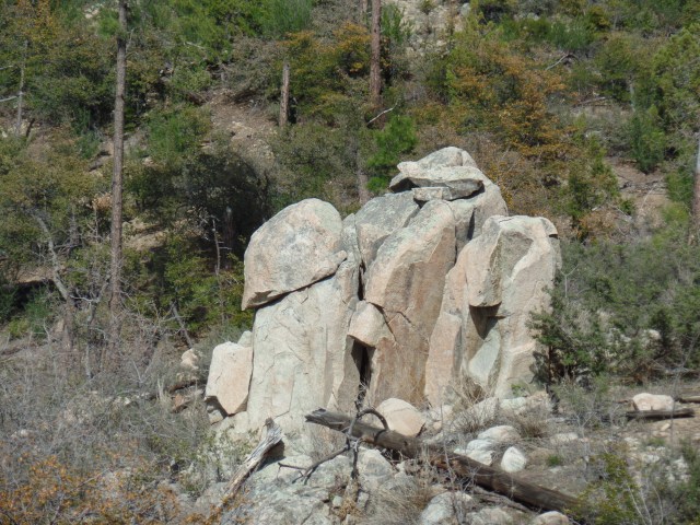
“Stormtrooper” Rock, Butte Creek Valley
As I headed into the Butte Creek watershed, I was watched by a Storm Trooper.
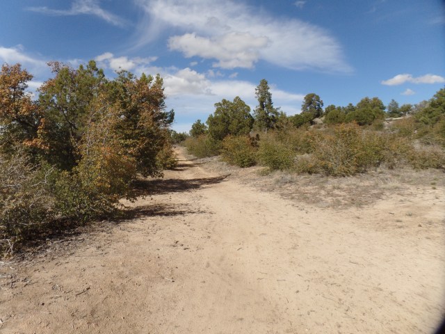
Butte Creek Road, atop Williams Peak, Porter Mountain
The trail follows Butte Creek Road, along the flat ridge of Williams Peak, until one reaches the area known as “Hilltop”, where three trails converge.

Thumb Butte, from Williams Peak
A clearing on Butte Creek Road afforded the best view of Thumb Butte, from the west. It is two miles northeastward, from here.
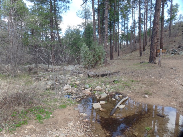
Butte Creek
Crossing Butte Creek, one heads into slightly more heavily forested, and somewhat more rugged, terrain.
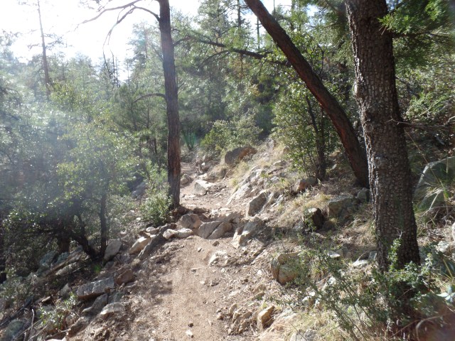
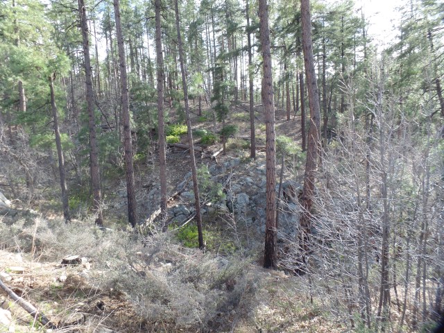
South Ridge, Williams Peak

Manzanita Creek Canyon, near Dugan Camp, Copper Basin
Manzanita Creek Canyon is on my list of “picnic hike” spots, during the second half of June. Dugan Camp, about a half mile southwest, is still an active resting place for trailer campers.
Apparent ruin of miner’s cabin, south of Manzanita Creek
This area has been popular with campers and miners alike, especially during the heyday of Copper Basin, in the early 20th Century.
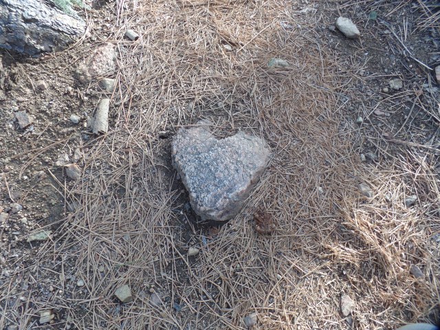
Heart-shaped granite, near Copper Basin Road
There was another confirmation, waiting for me, close to the turnaround point, near Copper Basin Road.

Stump, from 2002 Indian Fire
This stump stands as a silent sentinel, to warn humans of the lasting effects of careless camping and shooting.
Finally, in the spirit of Asian artists who leave a flaw in each of their works, here is a scene of one of the three herds of deer, who crossed my path on the hike back to Thumb Butte Road.

Deer, the best wild animals for selfie poses.


