Table Mesa, Part IV: Boy Scout, Not Out

0

December 26, 2016, New River-  This small settlement’s hinterland drew me back, yet again, this time to complete a twelve-mile round trip to the edge of a course called Boy Scout Loop.  I am not sure I actually found it today, either, but I did walk six miles each way, and stayed on the BCNRT, until coming to a loop’s end.  It just wasn’t identified as “Boy Scout”, and the purists insist it would have been.

No matter, this was my fifth visit to Table Mesa trailhead, and the last for a while.  Here are some scenes along the segment I hiked today.SAMSUNG CAMERA PICTURES

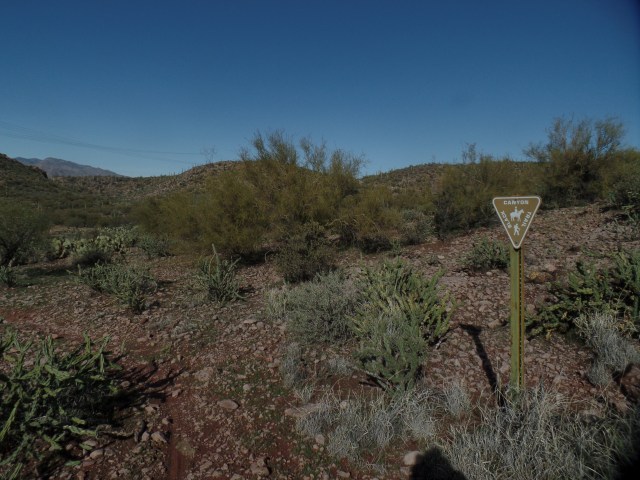
The trailhead, on the southern side of Forest Road 9950, got me headed in the right direction, towards a long mesa to the west of here.

SAMSUNG CAMERA PICTURES

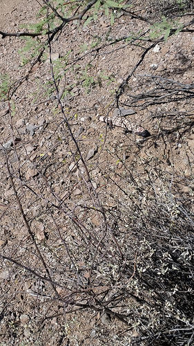
The trail continued to be somewhat rugged, in spots, as I made my way along the long mesa’s eastern edge.  Mostly, though, this segment passes through long desert valleys, with mesquite and saguaro forests.

SAMSUNG CAMERA PICTURES

Here is a southern view of an outcropping I passed about a month ago, during a hike along Forest Road 9950.

SAMSUNG CAMERA PICTURES

Heart-shaped rocks have always reassured me that I am on the right path, and am surrounded by love.  I saw many more such stones this time, than I have in  while.

SAMSUNG CAMERA PICTURES

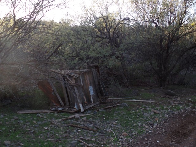
This remnant of a miner’s crate is on what I took to be the northern edge of Boy Scout Loop.  At any rate, it’s near where I turned and began heading back.

SAMSUNG CAMERA PICTURES

This is one of the mesquite forests I encountered, on this relatively easy trek.

SAMSUNG CAMERA PICTURES

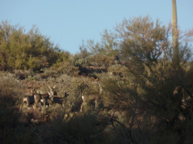
I saw nary another human on this hike, although there were many target shooters on the Table Mesa range, whom I could hear to my east, for much of the jaunt.  These mule deer were in a safe spot, though, and were my only visible companions.

SAMSUNG CAMERA PICTURES

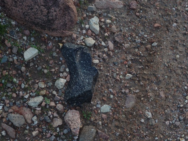
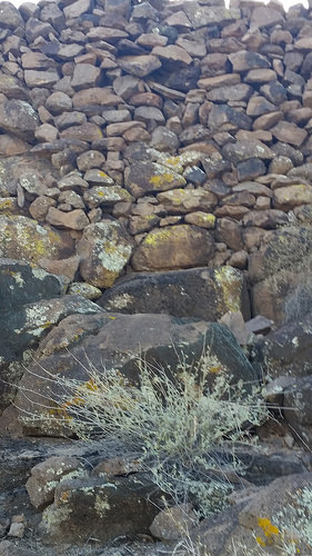
There is a dormant volcano, about six miles east of here, which did cast igneous rock far afield, several thousand years ago.  Here is one remnant of that outburst.

I again found my flashlight very handy, with part of the trail having been obliterated by Saturday’s rain storm, and my having to follow a dry creek-bed part of the way back.  Having basic knowledge of the topography, it wasn’t long before I found the trail again, even with moonless conditions.

The final two segments of BCNRT will begin from New River’s Emery Henderson Trailhead.  It looks like January 8, and later on in the month, will allow time for those finishing touches.

Table Mesa, Part III: Little Pan Let Me In

4

November 6, 2016, Black Canyon City-  As I rounded a bend, in the access trail to Little Pan Loop, this afternoon, I became a surprise visitor, to a local resident.

30195562533_7ecef46026

The juvenile Gila monster was a bit bemused, but after a few minutes, it moved off the trail and watched me from some brush. It was a good reminder that reptiles find the early November weather perfectly satisfying, and I watched for rattlesnakes, as well.  None appeared, though.

After a quick crossing of the South Fork, Agua Fria, I found the southern turnoff to Little Pan Trail, and moved along, passing the Royal Throne, which overlooks the river,

30714412392_ecb3836332

then across the Agua Fria itself, taking time to wander a bit around the mesquite and saguaro forests that line an island, in the middle of the riverbed.

30195813563_288bcec659_n                                          30199205884_461a152910_n

Little Pan Wash is not on the main trail, but it makes for an interesting side trip.

30794226516_9b3bb7290b_n

It is one of the areas that was heavily mined, in the early 20th Century.  Little Pan Mine, upstream on the Agua Fria, is still accessible to an intrepid visitor.  I did not seek it out, this time.

About twenty minutes after leaving Little Pan Wash, I came upon the overarching attraction of this trail:  Agua Fria Fort, near the northern end of Little Pan Trail.  A side road takes the visitor to this remarkable fort, built by the Huhugam people, as one of their northernmost places of settlement.

30529847110_9cce98db5c_n30794212606_ebb95b850b

30742986821_debd505246                  30830719765_dfdc00678d

After examining this durable fort, from three angles, I walked quickly to the point where Little Pan meets Williams Mesa Trail, and the main Black Canyon Trail towards Black Canyon City.  It was there that I headed back, along Little Pan, towards the trailhead.

Thus ended my first visit to this lush, exquisite and challenging area, past which I have driven, so many times.  There remain three sections of the Black Canyon National Recreation Trail for me to explore for the first time.  Next up is a foray from Table Mesa trailhead to Boy Scout Loop.  After that, Boy Scout Loop to New River Road, and New River Road to Lake Pleasant Road, will take me through lower-lying Sonoran Desert terrain, to the edge of Phoenix.  It will represent some 88 miles of hiking, over a two-year period, and will be my longest completed route.