Black Canyon Trail: The Elusive K-Mine and More Agua Fria

10
SAMSUNG CAMERA PICTURES

Cactus Wren nest, in ocotillo plant.

January 24, 2016, Black Canyon City-  I returned to the Black Canyon National Recreation Trail,  this afternoon, with a long-time family friend and her dog in tow.  This hike was 5.5 miles round trip, not as intense as last week’s jaunt, but exactly what I had in mind.

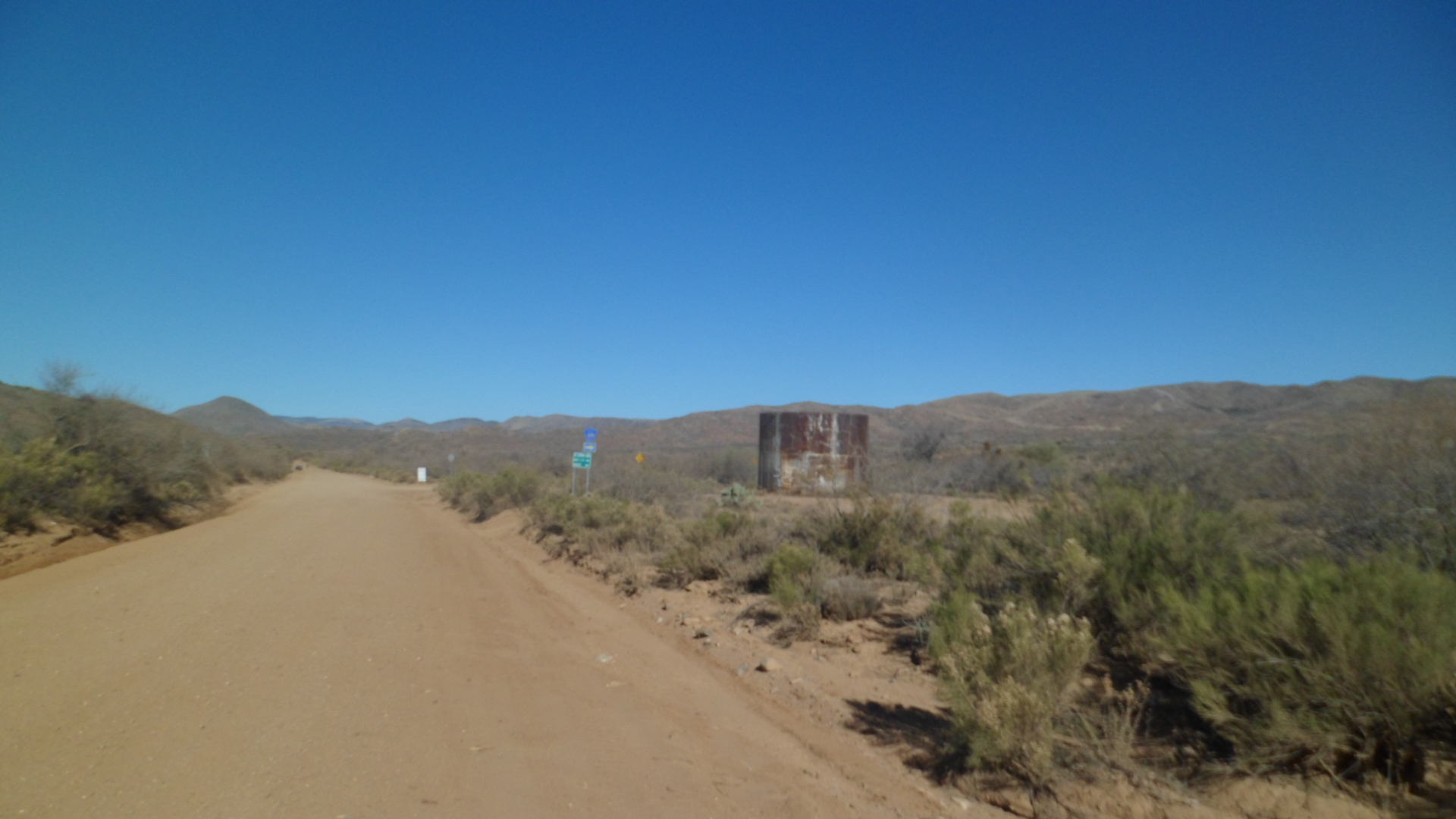
We parked in the spacious Trailhead Lot, just north of Black Canyon City, and were treated to a taste of the lushness this section of the Sonora Desert offers.

SAMSUNG CAMERA PICTURES

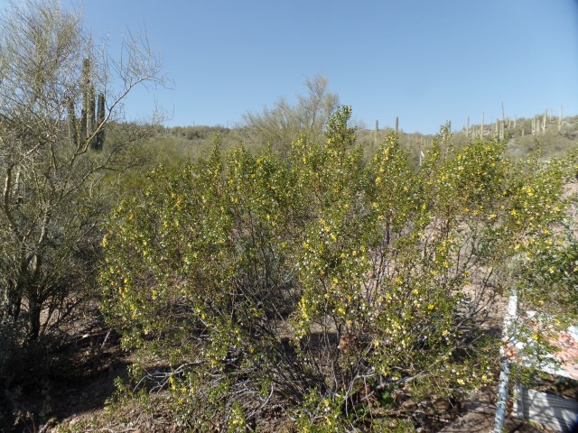
Blooming creosote, Black Canyon City Trailhead

SAMSUNG CAMERA PICTURES

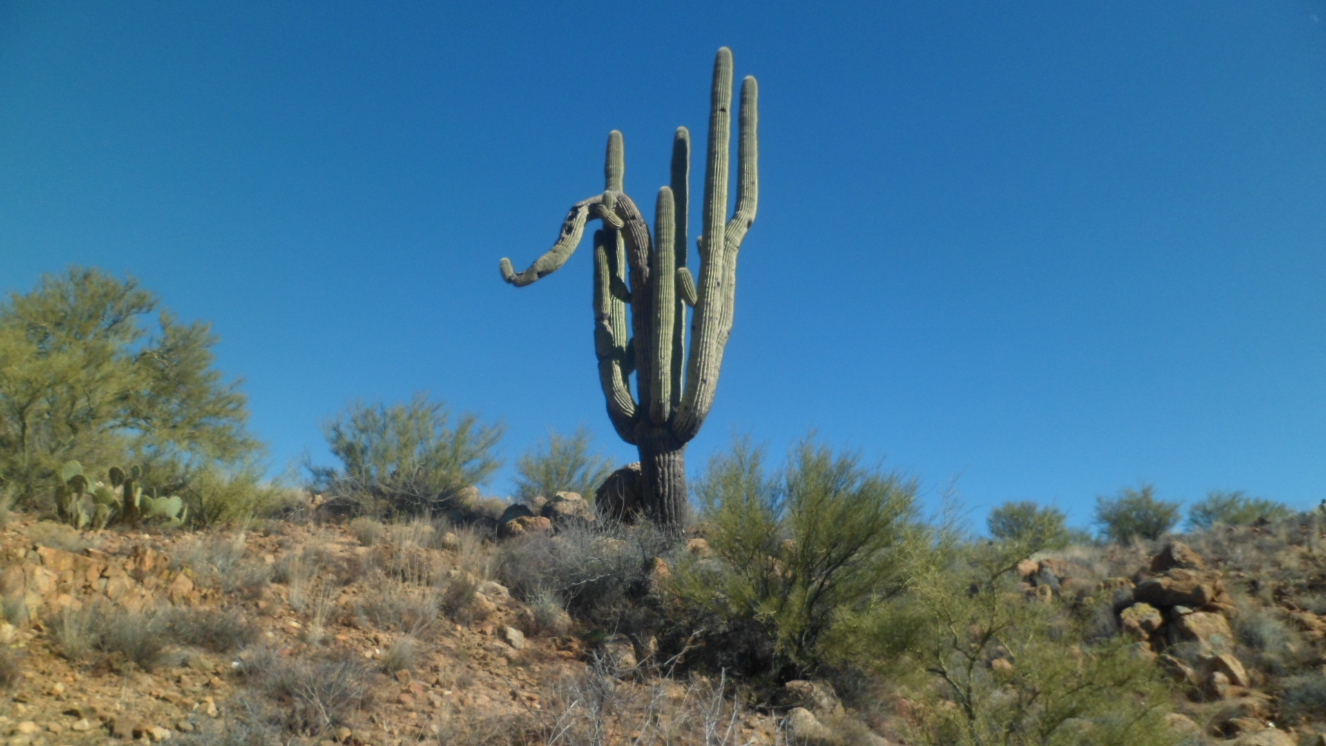
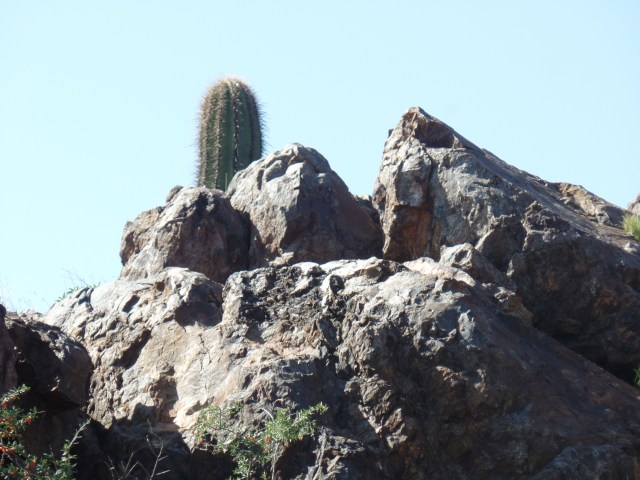
Ocotillo and sahuaro cacti, Black Canyon City Trailhead

We headed out, up a 1.1 section of trail called Horseshoe Bend, being on the south side of the feature of the same name, which was my stopping point last week.  It is not a strenuous trail section, and offers a few anomalies, such as the Pharaoh’s Face.  At the 1.1 mile point, Horseshoe Bend meets two other segments:  K-Mine and Skyline.  We took the K-Mine Trail, which took us close to the spot where I stopped last week.

SAMSUNG CAMERA PICTURES

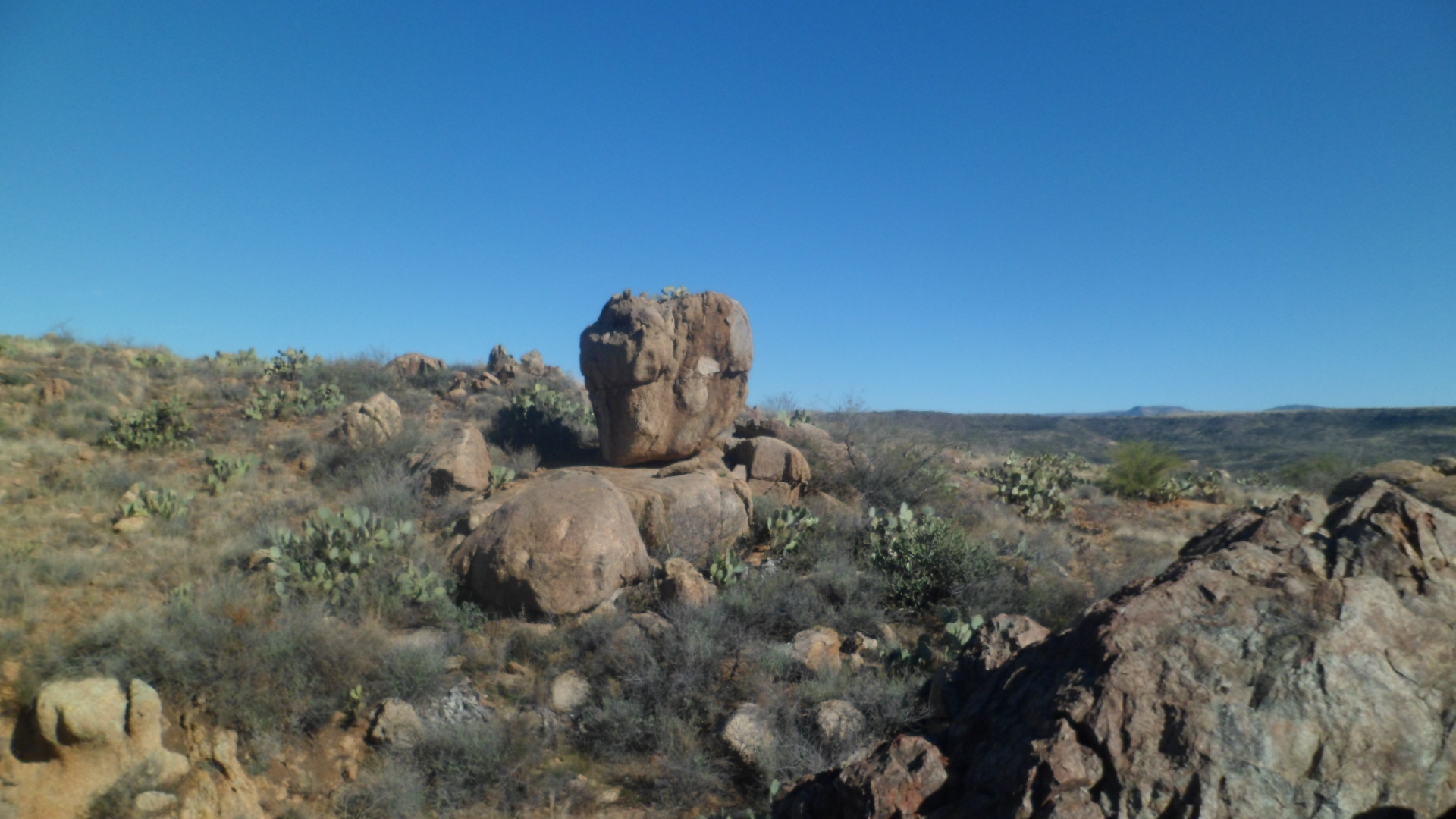
Pharaoh’s Face, with a barrel cactus keeping watch, Horseshoe Bend segment, BCT

SAMSUNG CAMERA PICTURES

Friends along for the afternoon, junction of Horseshoe Bend and K-Mine Trails

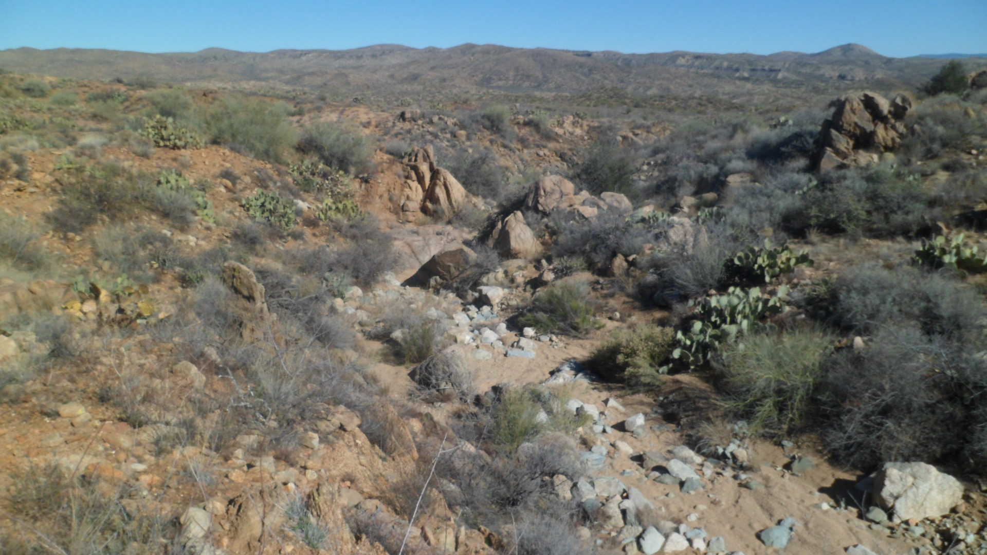
The K-Mine Trail features mild switchbacks, down into a vast valley, outside Black Canyon (the natural feature).  The cacti and succulents here take full advantage of the water wealth proferred by the Agua Fria and its tributary streams.

SAMSUNG CAMERA PICTURES

K-Mine Trail, west of Black Canyon City

SAMSUNG CAMERA PICTURES

K-Mine Trail, west of Black Canyon City

SAMSUNG CAMERA PICTURES

Desert valley, west of K-Mine Trail

The K-Mine Trail offered striking vistas, before taking us down to the Agua Fria, southwest of last week’s fording spot.

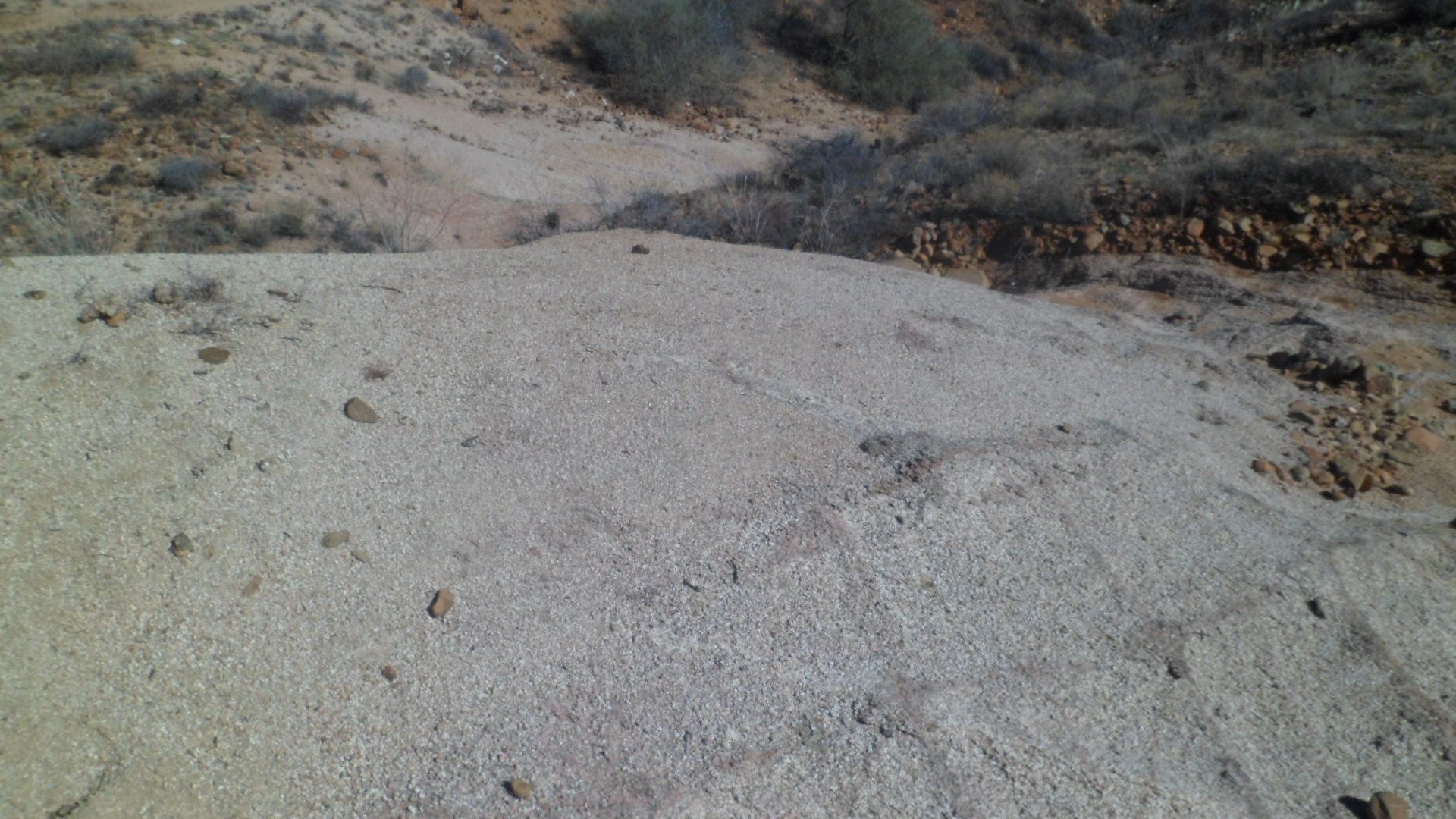
We explored a bit along the Agua Fria, but my intuition said it would be best for the three of us, that we turn back.  This did not happen, though, before we checked out a small cataract, a bit upstream from the K-Mine Trail.

SAMSUNG CAMERA PICTURES

Edge of box canyon, along Agua Fria, near the K-Mine Trail

SAMSUNG CAMERA PICTURES

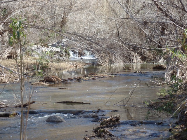
Agua Fria River, north of Black Canyon City, with small cataract in the background.

We met three young ladies, riding a quad and a small motorcycle, and watched as they gingerly negotiated the river.  After returning to the trail proper, we found yet another crossing place, but again I had a feeling in my gut to turn back.  So, up the K-Mine Trail we went again.  The short section of trail to my last stopping place can wait for another day.  Everyone’s well-being mattered more.

On the way up, we spotted a couple of cactus wren nests.  One was wedged in between the arms of a sahuaro.

SAMSUNG CAMERA PICTURES

Cactus wren nest, K-Mine Trail

With such confirmations as these, and several heart-shaped rocks along the way, we called the day a success.  More exploration of the Black Canyon Trail, and other such routes in Arizona, await, over the next several months.


The Road to 65, Mile 57: Back Among the Saddled, Again

9

January 24, 2015, Bumble Bee, AZ- I found, late this morning, that I had previously reached the trail head of Antelope Springs- Hidden Treasure segment of the Black Canyon National Recreation Trail, which I am determined to complete, in segments, during this calendar year.  Gleefully, I headed out from the large water tank that marks Antelope Springs.

SAM_3762

The first mile, or so, of the trail is easy, flat and distinguished only by what is probably the northwesternmost sahuaro in Arizona.  All was quiet, too, which gave me the solitude I craved this noon, after a week of earnest service to a homeless veteran and a class of Special Needs students.

While the trail stayed sanguine, the rocks were the star attractions.  Smooth quartz, mostly milky white, was dispersed along the way- with a couple fields of shattered shards.  Other pieces were marbled with granite, or infused with iron.SAM_3766

SAM_3767

SAM_3771

A surprise came, around the first mile point, in the form of a large boulder of blue granite.SAM_3772

Then there were lots more broken bits of silica.SAM_3785

The trail began to get more rugged around the area where Hidden Treasure Mine was supposed to be.  I found no indication of the mine, which is probably just as well.SAM_3787

I did find an ominous hooded figure, but it was merely a standing bit of granite.SAM_3793

In Government Canyon, where I took a brief rest, around Mile 4, I saw a marbled granite gem.SAM_3800

The trail kept on rising, then began to descend towards Bumble Bee and Bland Hill Road, around Mile 5.SAM_3805

Sahuaro are a bit more numerous in this area, and face the ravages of being approached by the occasional errant horse, or human.  There were plenty of both along the trail today.  It was a gorgeous day, and about two dozen horses, with both Western and English riders, happened along.  I picked up a shoe that one of the animals had lost, and the group later gave it to me as a souvenir.  About eight bicyclists also enjoyed the trail.SAM_3806

I took note of the next starting point, at mile 6.2, just a mile or so west of Bumble Bee, an old mining town that is now home to about two dozen intrepid families.SAM_3811

Off to the southeast, and up on a steep hill, I could see Sunset Point, the major highway rest area, on I-17, between Phoenix and the turnoff to Prescott.

SAM_3812

Heading back to the water tank, I spotted twoformations, in different light.

SAM_3816

This outcropping contained a marker for stockmen to keep their animals in single file, as if they needed any such cue, on this trail.SAM_3817

So it went, that I completed not one, but two, segments of this well-worn trail.  Next segment will take me from Bumble Bee to Black Canyon City, sometime in late February.