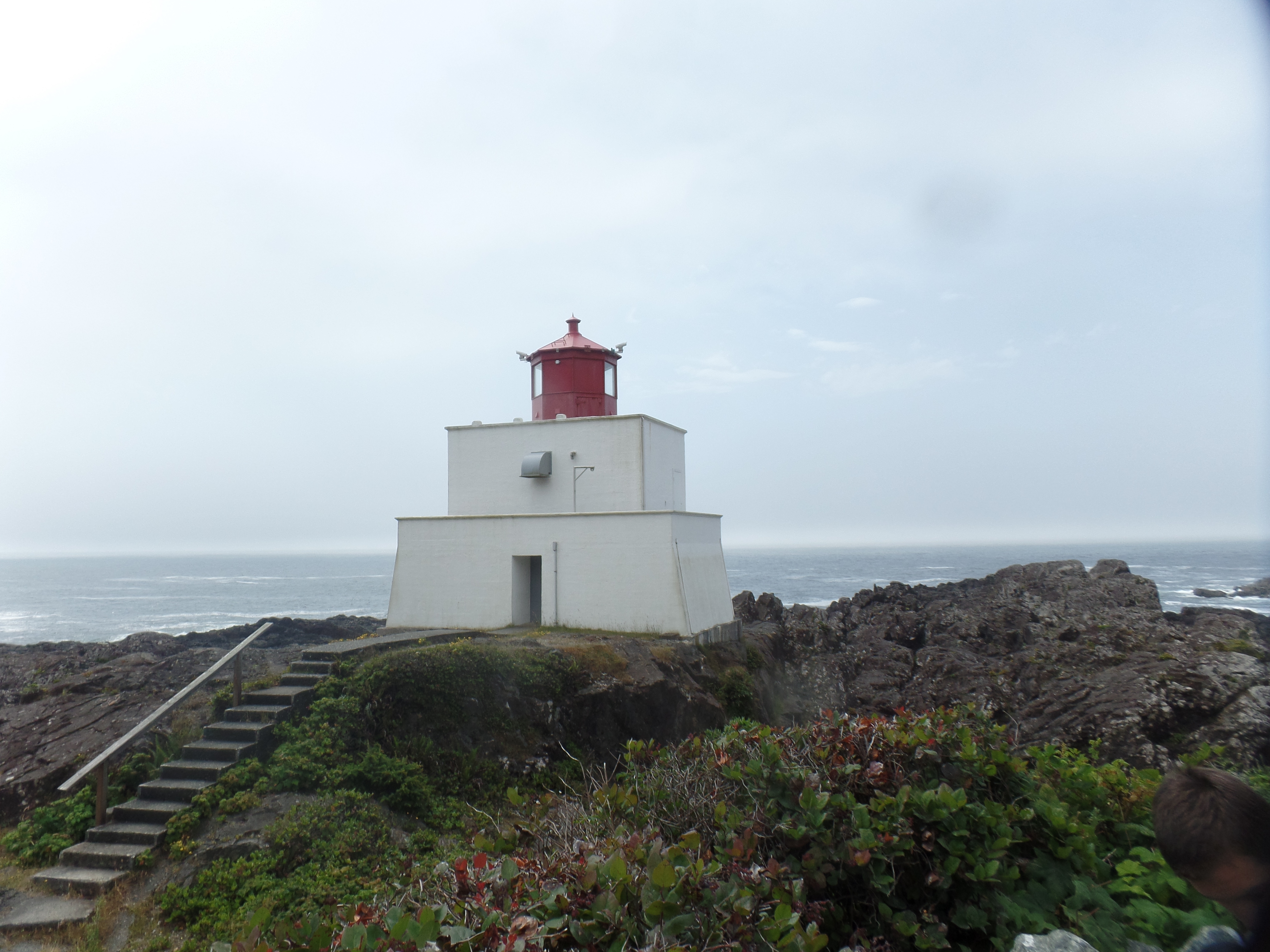
July 23, 2024, Halfmoon Bay, BC- The excited children swore they had just seen harbor seals diving down to get fish, near the closed-off Amphitrite Point Lighthouse. It well could have been, as humans can’t get close enough to the actual lighthouse to disturb any marine animals, but the field of vision is certainly clear enough.
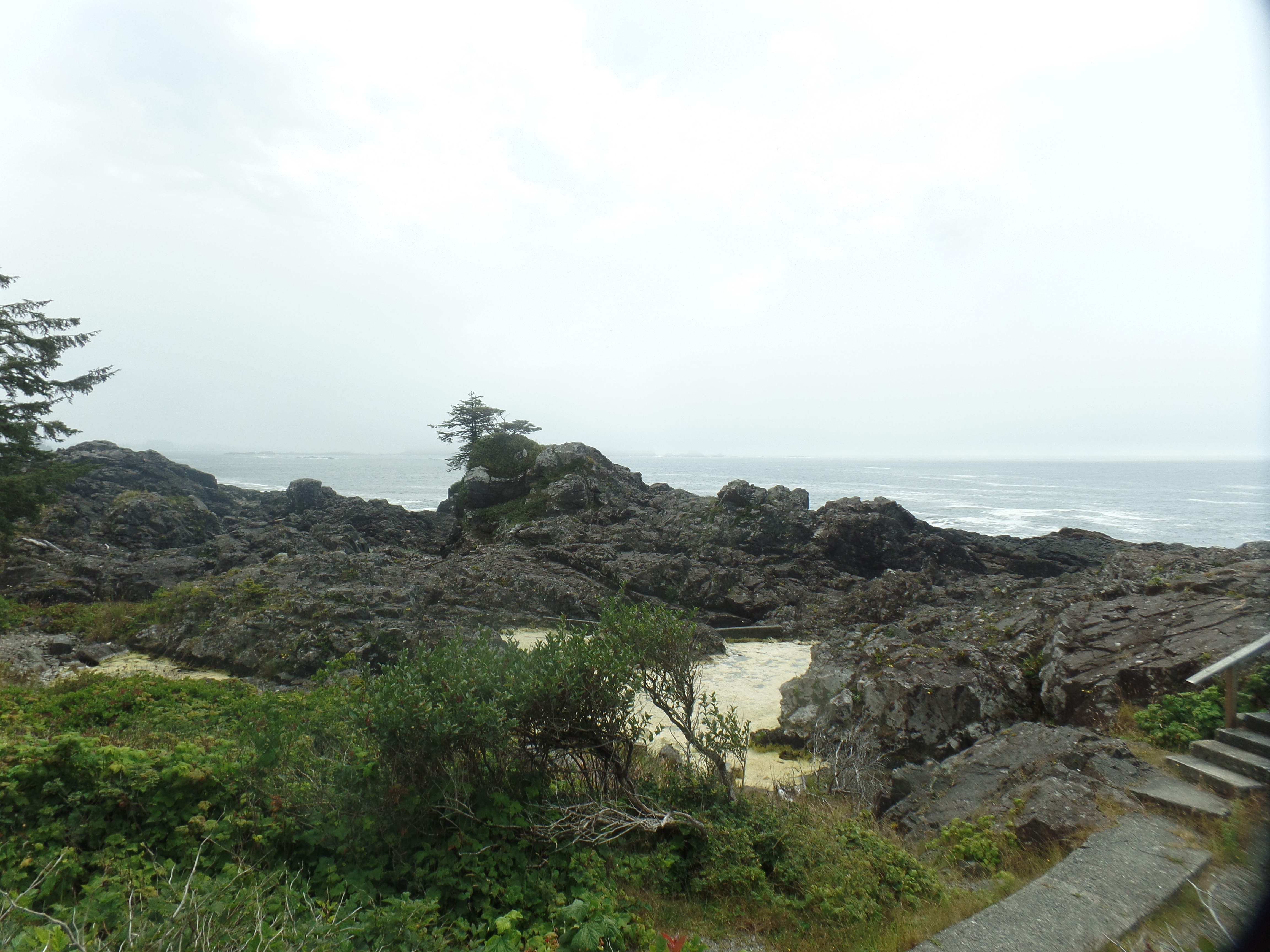
Amitrite Point, UclueletAmitrite Lighthouse, Ucluelet. It is rather compact, but from its vantage point on the headland, the job got done.
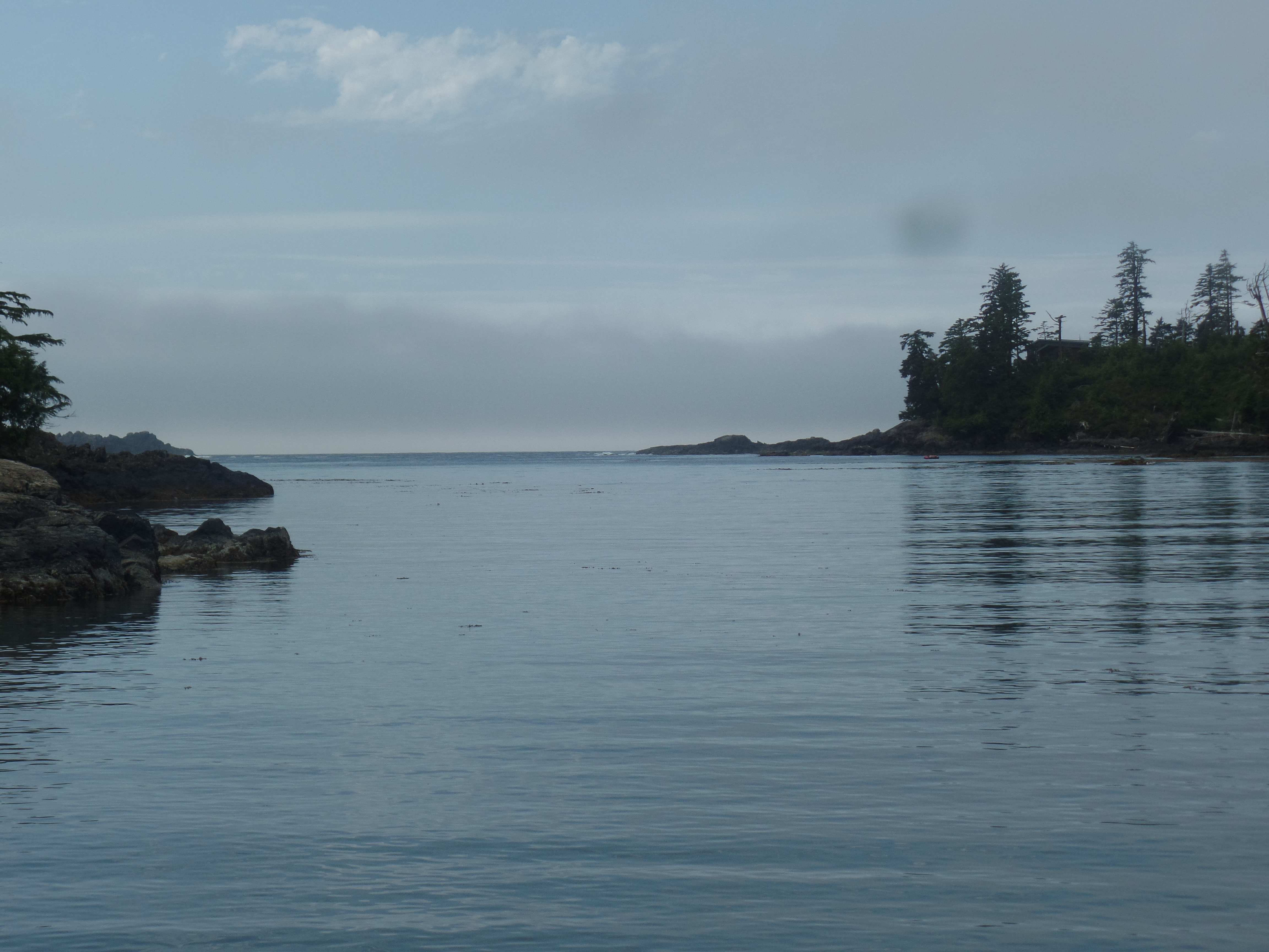
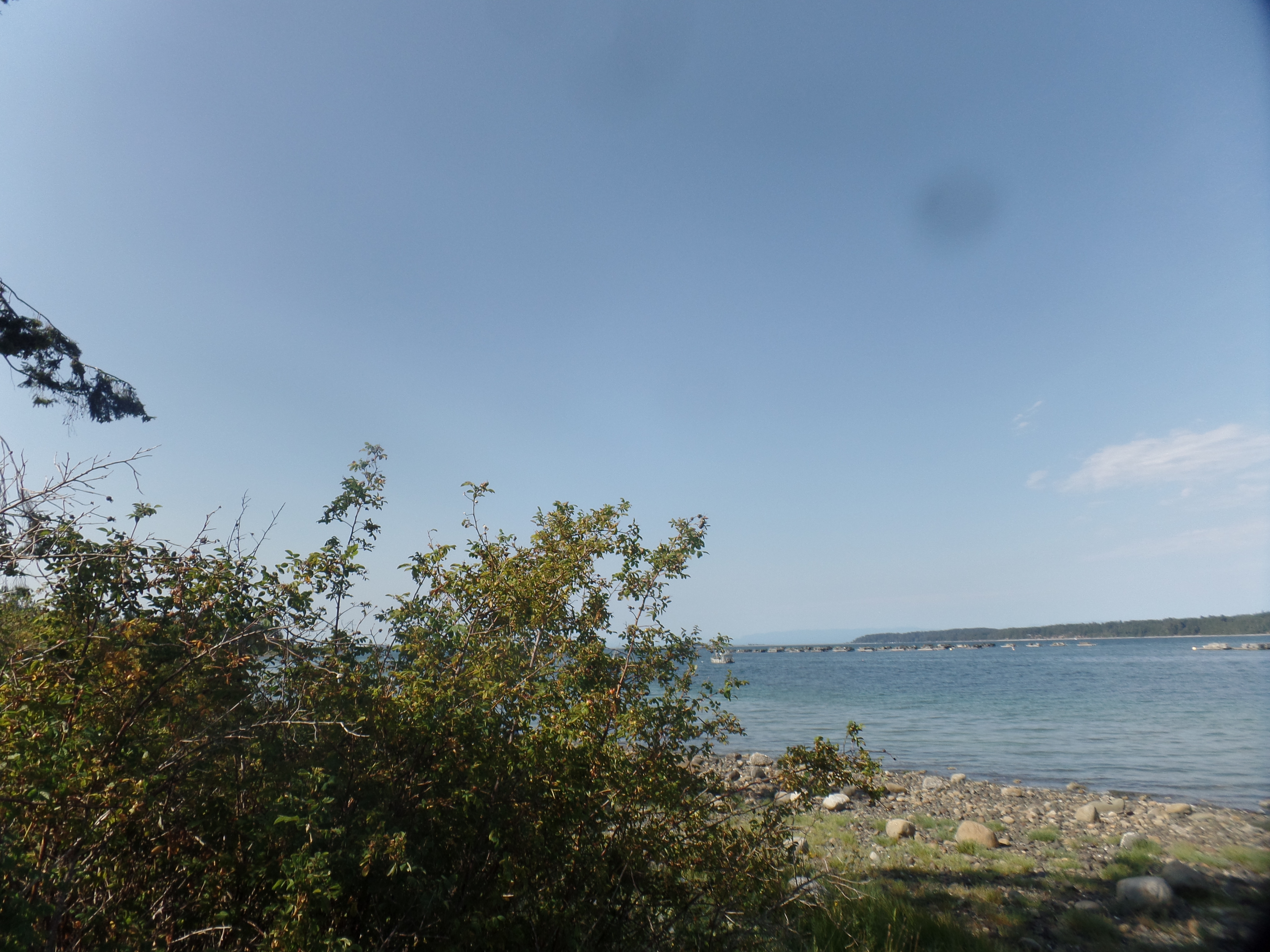
Just north of Amitrite is Little Beach. From this small cove, one may gaze out southwestward. This is not the southern edge of Vancouver Island-that would be Victoria, from which one could see the Olympic Peninsula, on a crystal clear day. From Little Beach, there is nothing but ocean, all the way to Japan-from which the currents brought debris from the Fukushima earthquake and tsunami.
The westward view, from Little Beach, UclueletLittle Beach, UclueletA lusher view of Amitrite Point-the trailhead of Wild Pacific Trail. Lighthouse Loop, which begins at Amitrite Point, is one of two segments of the “WP”, and is 2.6 km. The other segment goes from Big Beach to Rocky Bluffs (5 km, each way) and has a 1 km spur to the Ancient Cedars. I had a ferry to catch, so Yes, I “missed the Ancient Cedars”-though not entirely. Cathedral Grove presented a second chance, en route to Comox.
First, though, was a fine, lightly-milky bowl of seafood chowder, at Cedar Grill. Soup lunches have hit the spot lately, and this was no exception. It had the feel of Puget Sound-style chowder, with halibut, clams, scallops and lobster in the bowl.
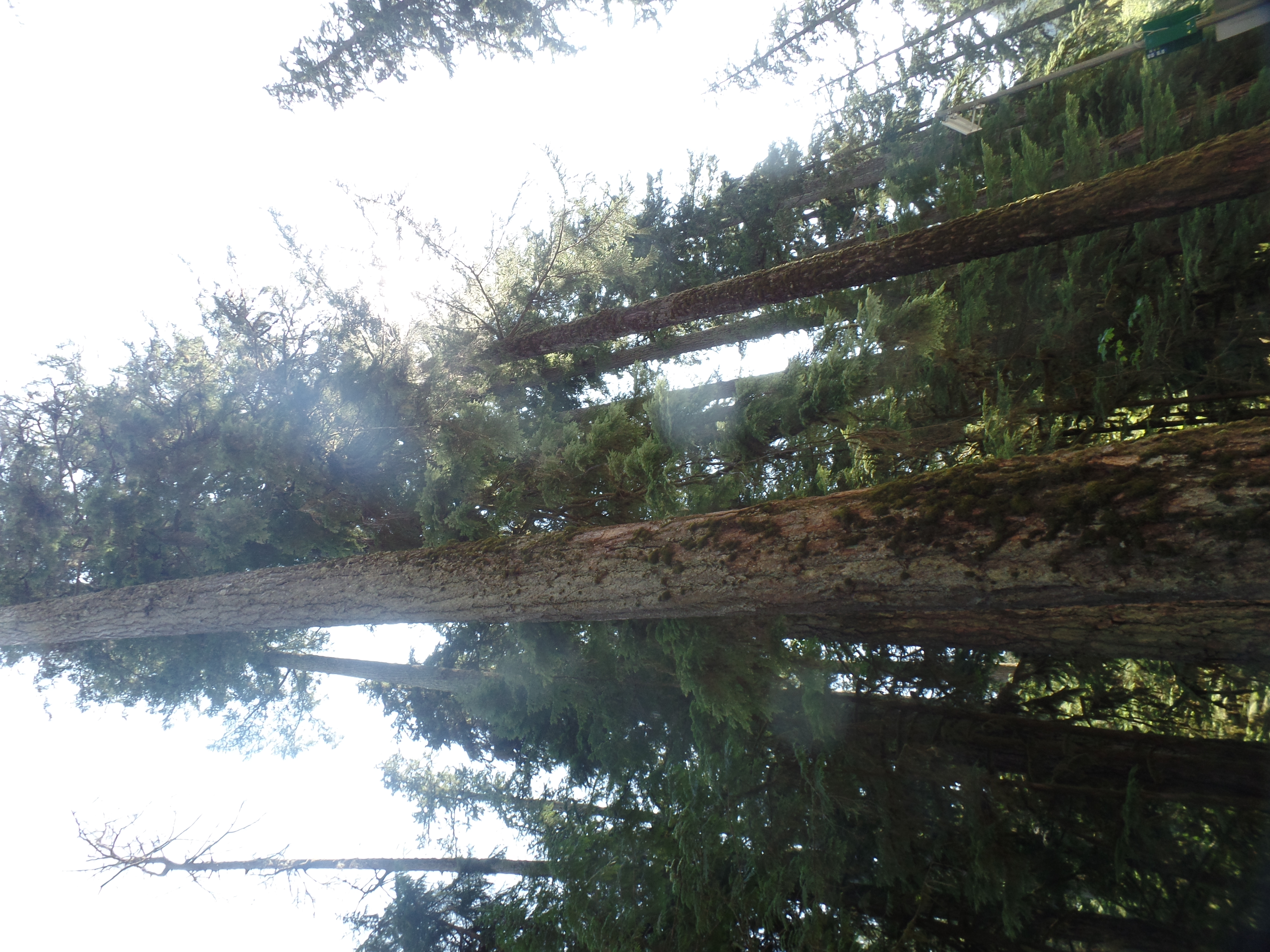
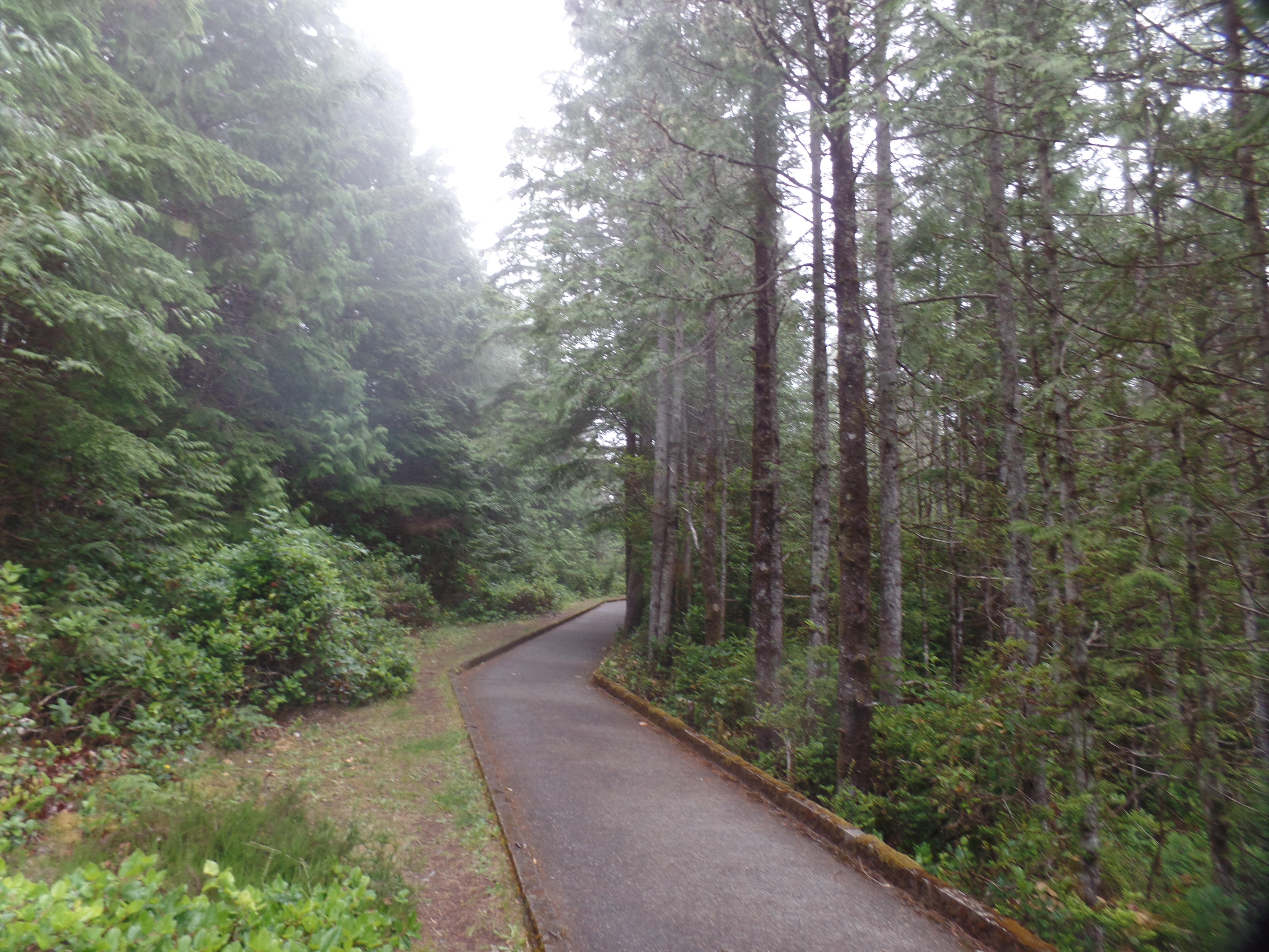
Cathedral Grove, near Kennedy Lake,BC. Pardon the sideways view-WP has no provision for rotating.
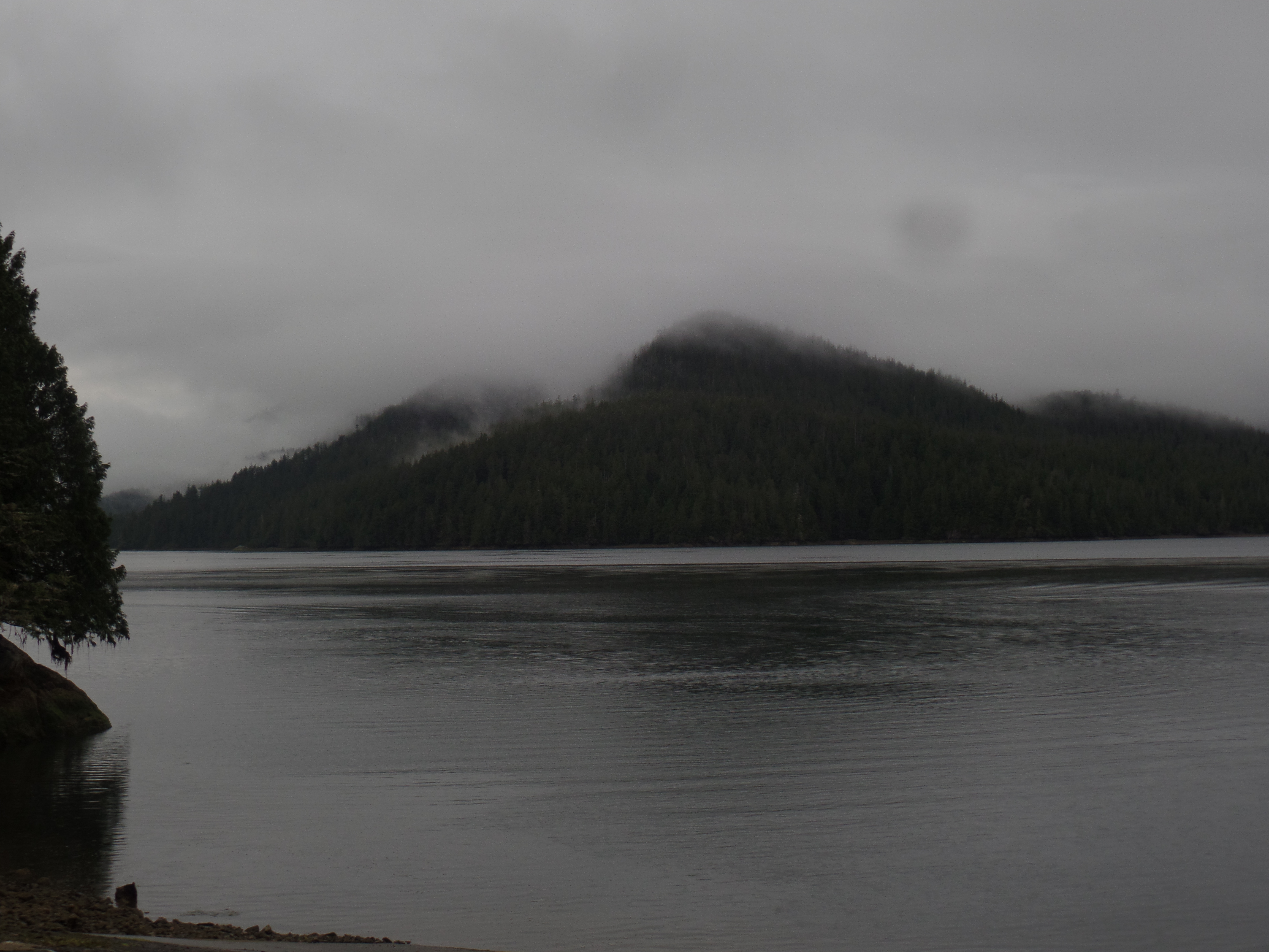
Once past Port Alberni, I was back on the eastern shore of Vancouver Island. Around Deep Bay, there are several spots to enjoy the calmness of the Inside Passage.
Rest area, near Deep Point, Vancouver IslandBuckley Bay, looking towards Denman IslandOnce at Comox, I was able to relax a bit at the ferry terminal. Here is the jetty, pointing eastward. It was a smooth ride, and a trio of us spotted a bowhead whale spouting, off the starboard bow. The whale was almost guiding us.
As it happened, once in Powell River, Sportage was the first vehicle off the boat, and so I bid farewell to Vancouver Island and hail to the Sunshine Coast. I was soon at Marland Motel, and in a clean, comfortable room, despite Google trying to tell me that the place was closed! Not so, according to the owner, who was grateful for those of us who checked in and stayed the night!
July 22, 2024, Halfmoon Bay, BC- The earnest young guide touted West Coast Trail, a strenuous 75-mile trail that incorporates just about every skill a wildland fire fighter, or candidate for the Survivor reality series, would need in order to meet with success. He is in university, and so has not set aside his own time to do the trek-but I could see in his eyes that the will is there. The trail’s northern terminus is near Bamfield, southeast of the Ucluelet-Tofino main segment of this Reserve. Its southern trailhead is just northeast of Port Renfrew, which itself is 110 km west northwest of Victoria. The route is on par with Newfoundland’s East Coast Trail, Ireland’s Wild Atlantic, the Florida Trail, Rim-to-Rim in the Grand Canyon and Michigan’s Keweenaw Peninsula Trail. It would be a good prep for an Appalachian, Pacific Crest, Continental Divide, Colorado, or Arizona Scenic trek.
My own short hikes today gave me a good sense of what a dedicated exploration of the area would entail. Stops were at Radar Hill, Grice Bay, Combers Beach, Rainforest Trail and Kwisitis Visitor Center (where the young man was touting the trail.)
Here are scenes from those spots.
Approach to Radar Hill. This site has the remnants of a World War II era Canadian Forces radar station, which kept watch for any Japanese incursions into Canadian airspace.
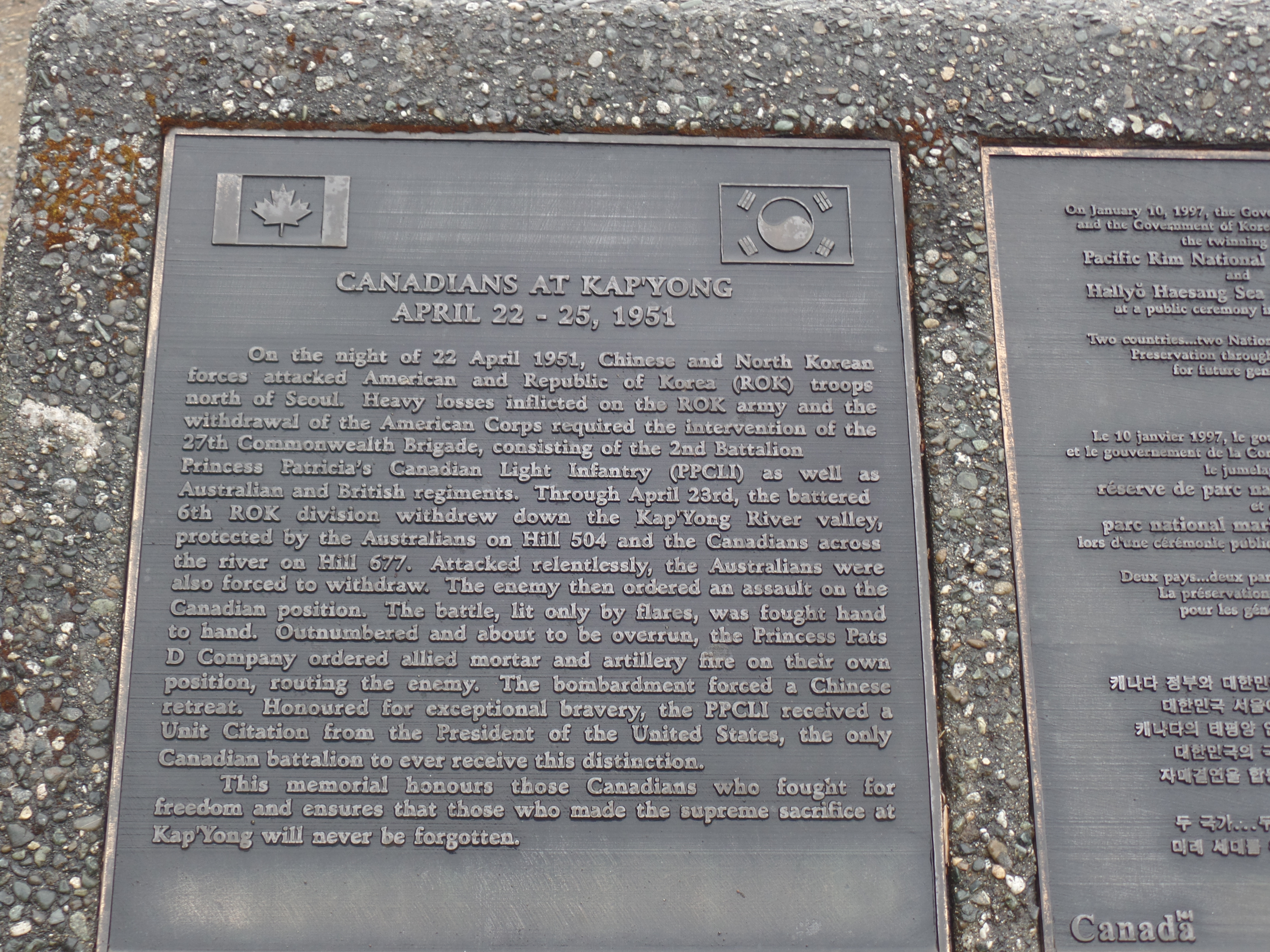
Canada was a key member of the Allied forces in the Korean War, as well. This plaque commemorates the Canadian Forces’ landing at Kapyong.
Commemorative ciinul for Radar Station. Like indigenous people in the United States, First Nations people in Canada were all-in, for defending the homeland during wartime.
Grice Bay lies about three kilometers east of the main Pacific Rim (Tofino-Ucluelet) Highway. It’s a major recreational fishing area, as one might expect, and there were quite a few boats being launched, while I was checking the place out.
View of Grice Bay from the west.Southwest view of Grice BayDolphins were moving about the bay-also looking for fish.Incinerator Rock is a spot popular with surfers, just north of Rainforest Trail and Combers Beach.
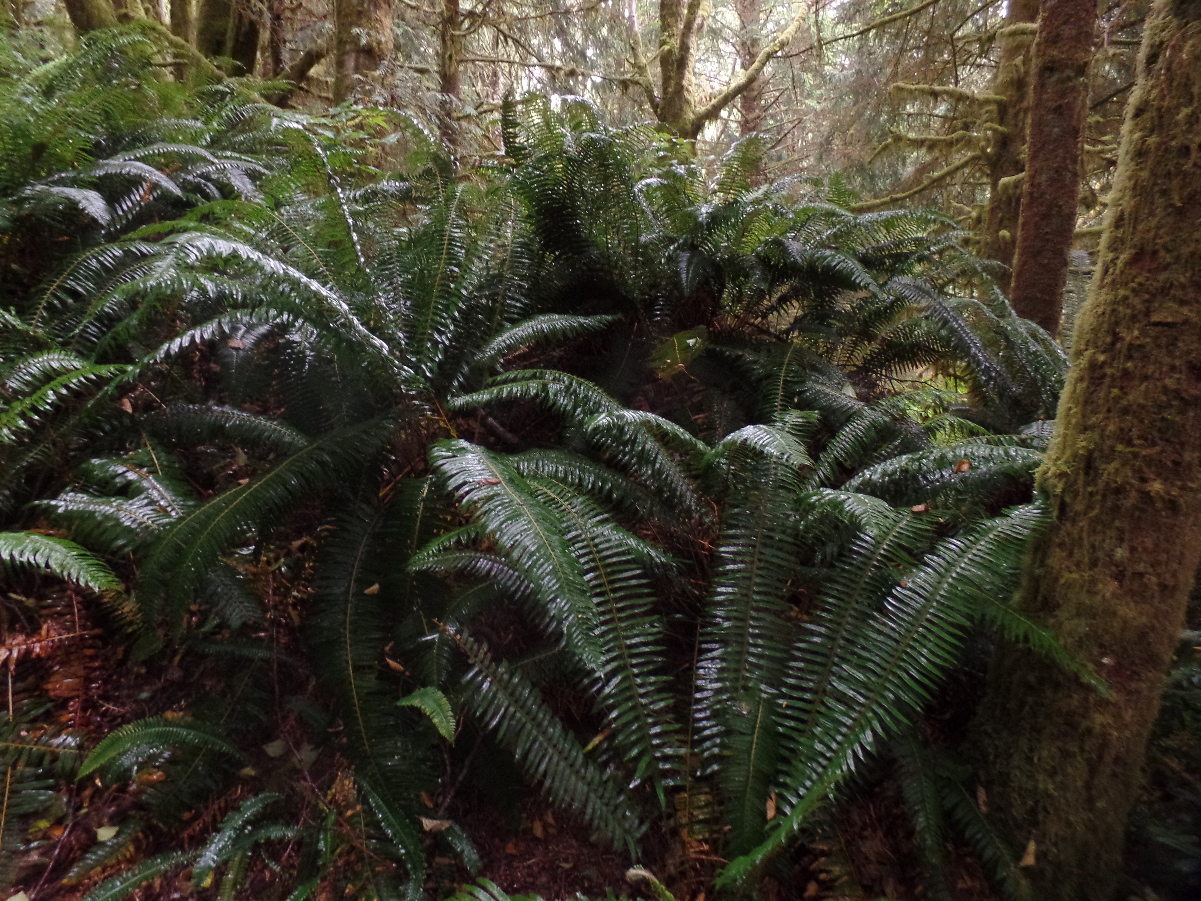
The trail to Combers Beach has several elements of the rain forest, in and of itself.
Looking at these giant ferns transported me to the Silurian Era.Huckleberries abound at Combers Beach.
Driftwood forts are everywhere at Pacific Rim. Combers Beach reminded me of Kalaloch, Washington, in that respect. (Next two photos)
This looks like a fair shelter from a storm.
The surf at Combers looks as enticing as any I’ve seen, north of Doheny. The beach is famous for its riptides, and guidance on how to handle a riptide is prominently displayed here.
Incoming tide, Combers Beach
Next up was Rainforest Trail. It was not really redundant, after the Combers experience, reinforcing the importance of recognizing the fragility of both the water table and the soil. Water storage is not strong here, because the soil is so thin. For communities like Tofino and Uculuet, this means taking strong conservation measures, despite the high average yearly rainfall. Rainforests endure more droughts than one might think.
Canopies help to preserve water, by limiting sunlight.
Red cedars, Rainforest Trail, Pacific Rim.Sitka spruce coexist nicely with red cedars.Saplings, springing up, guard the soil’s moisture even more.
Finally, at Kwisitis, there was a feast of driftwood and black basalt.
Wickawinnish Beach, KwisitisBasalt outcroppings, Kwisitis
In this Visitor Center, we learned much about the sacredness with which the Tla-o-qui-aht and neighbouring nations approach the whale hunt, to this day. The bowhead is taken with the same reverence that other Indigenous hunters approach the hunting of bison, deer or elk. The entire animal is put to use, once the kill is made, and there was/is a strict limit on the hunt.
The balance of nature weighs on the minds of all who wish to see our Planet thrive. The Nuu-cha-hulth-aht, of Ucluelet, are no exception.
July 21, 2024, Powell River,BC- I must have looked like a duck out of water, clad in t-shirt and shorts, in 55 F (12.7 C) and cloudy weather. A Tofino pull-over hoodie presented itself, and so the duck was back in the water, in short order. The few small children present appeared to breathe a sigh of relief. The adults, being the flinty sort, were more “Well now, that shows there’s a light on upstairs, after all, eh?” Thus it goes, when one finds slivers of foggy dew, after days of high heat, even ten kilometers inland.
Tofino, and its sister town, Ucluelet, are the north and south anchors of Pacific Rim National Park Reserve, western Vancouver Island’s well-visited gem. I first heard of the place, when sent a recording of a young girl prodigy from there, and was drawn to its artsy vibe. Friends who had been to the area corroborated this rather laid back aura, but said it was getting somewhat more commercialized. So, as with any other place that sets forth competing reputations, I had to go see for myself.
This brief break from Baha’i-centered visits took me to Whalers on the Point Guest House, at Tofino’s north end. The name refers to the whale hunting traditions of the Tla-o-qui-aht (“Clayoquat”, in English parlance) First Nation and their neighbours along V.I.’s west coast, as well as of the Makah people, across the Strait of Juan de Fuca. The large and comfortable, family-friendly hostel was a beehive of activity, especially in and around the kitchen. The ambiance, though, was most welcoming.
Between an evening sunset stroll (at 9:45 p.m.) and a longer walkabout in the downtown area, this morning, I got a sense of Tofino life. Here are some scenes.
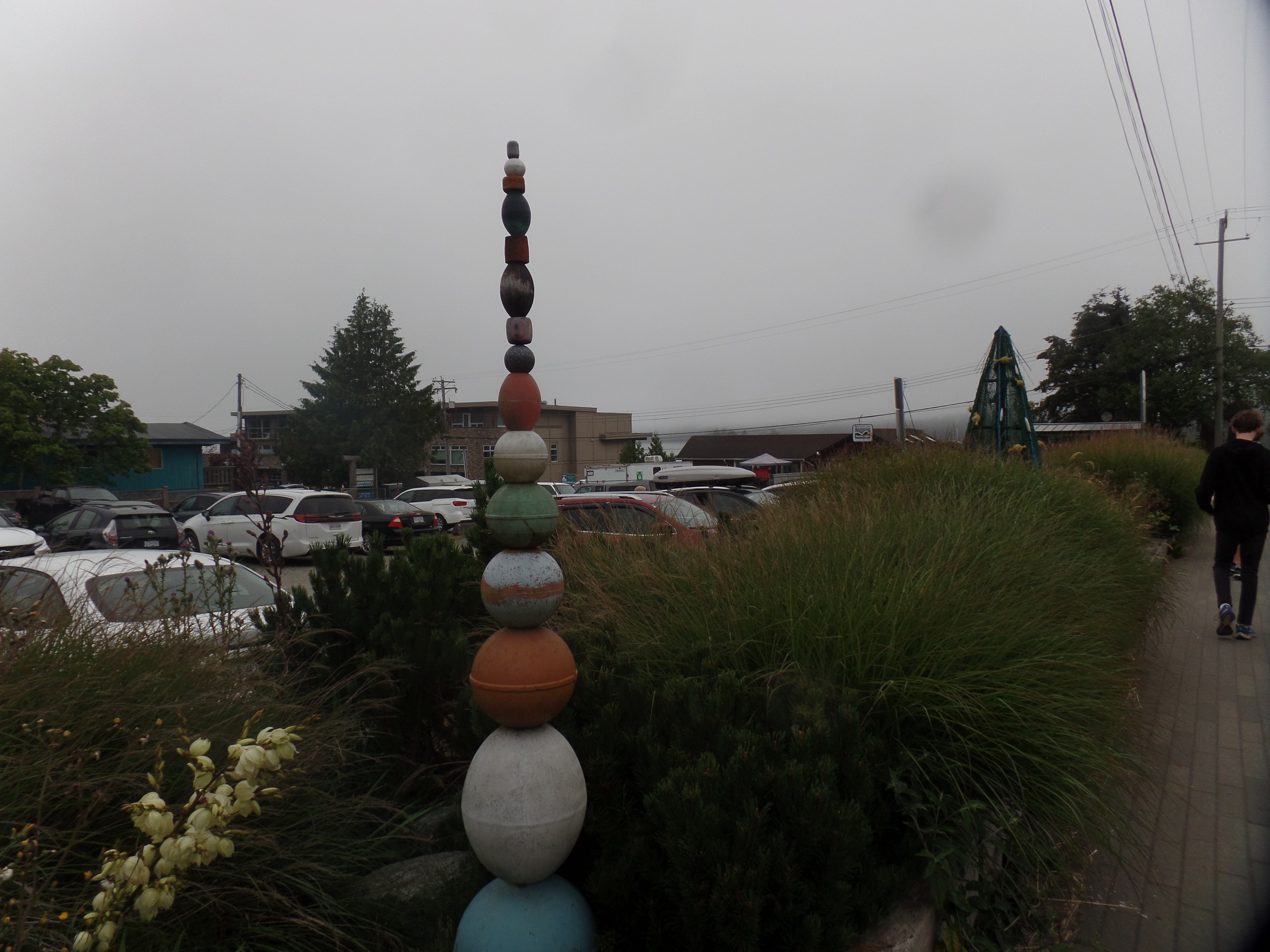
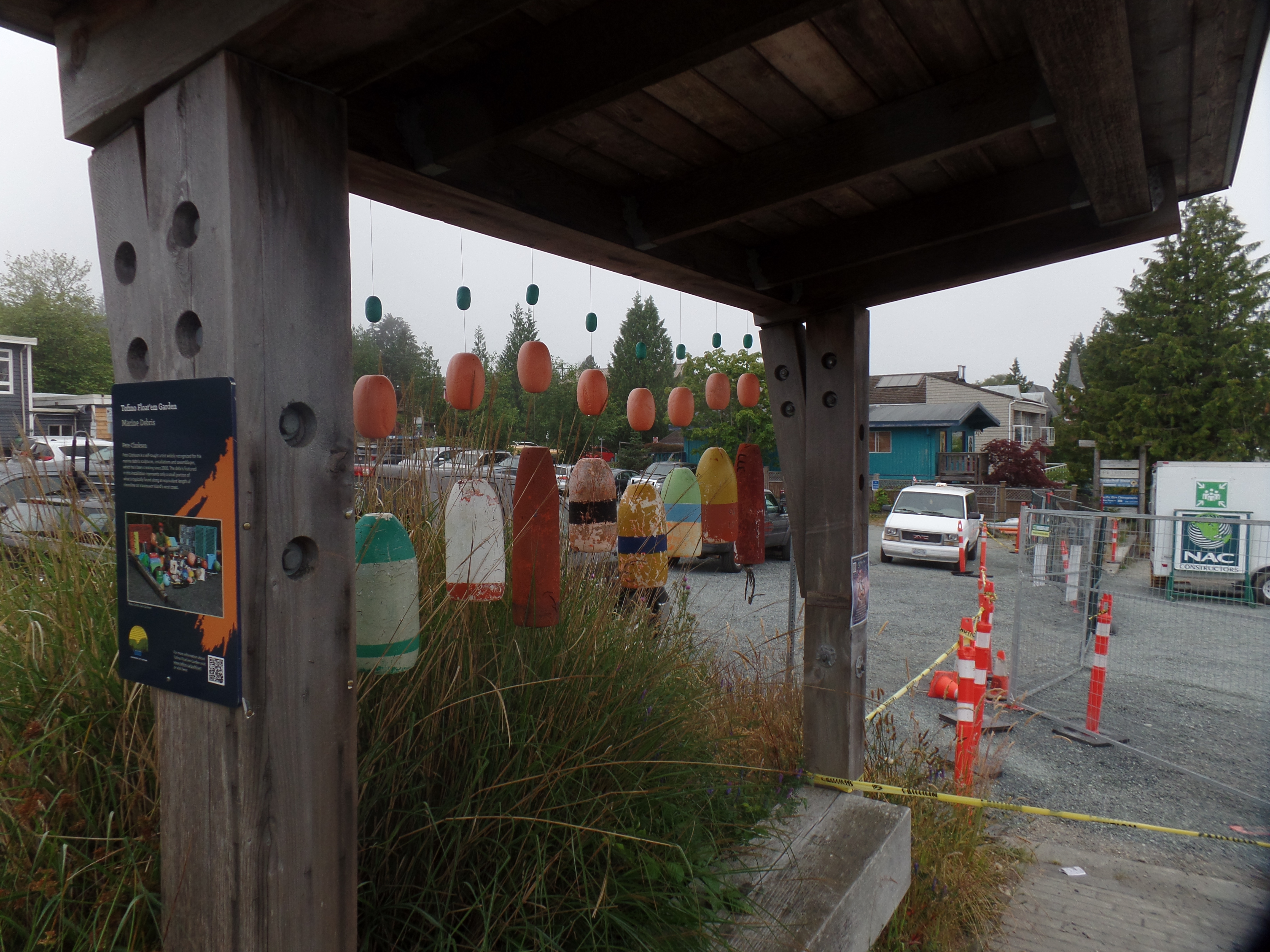
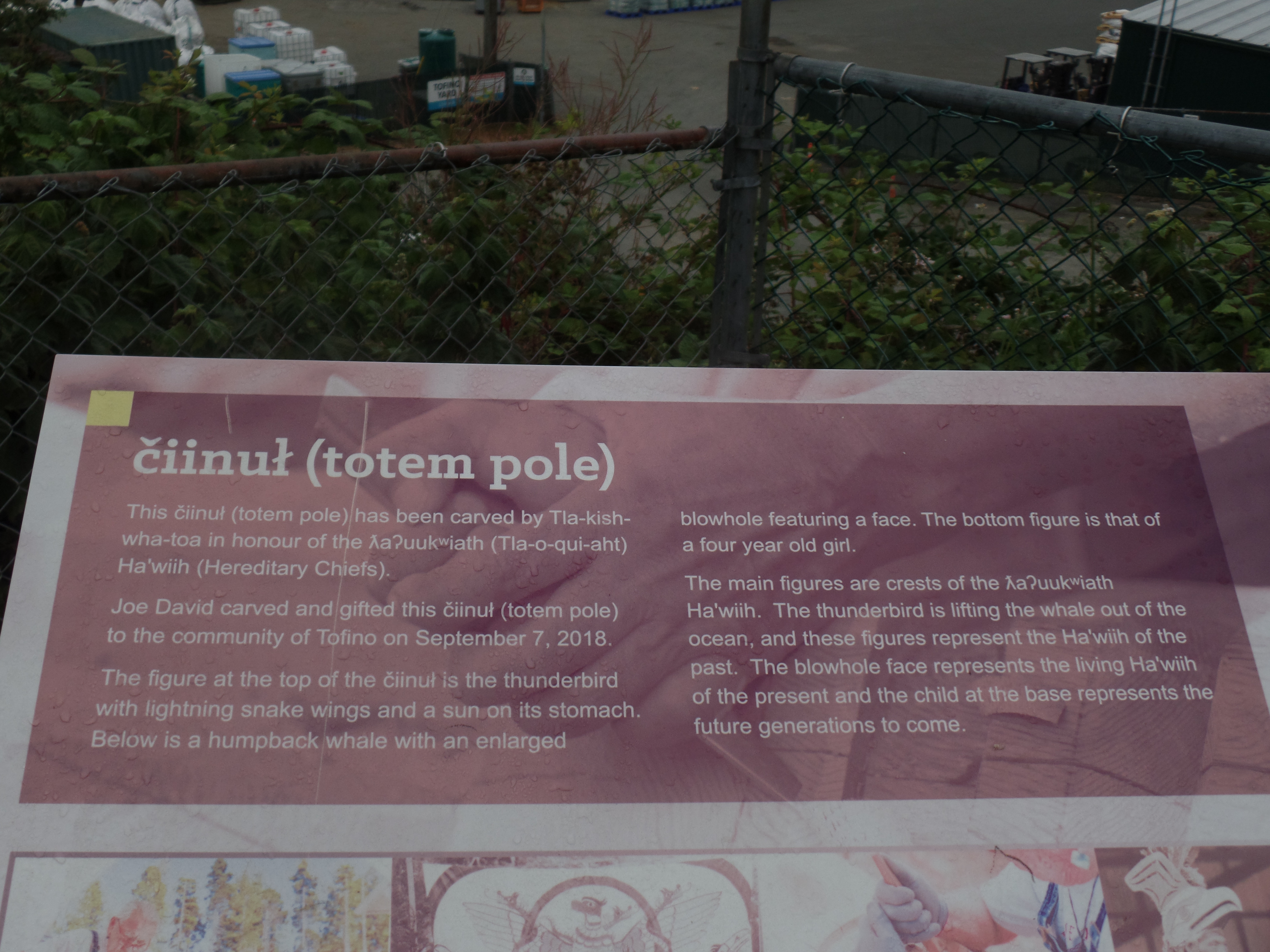
The salubrious hostelClayoquot Sound, on a foggy Sunday morningThe entrance to Tofino’s children’s parkSalvage art, part of a display by Pete Clarkson, a marine debris collector. His Washed-Up Workshop has several pieces in this unique downtown garden.Another of Pete’s piecesCiinul (totem pole), with explanation below:
So I found this earnest community, of First Nations people and eclectic artisans. Now, it was time to check out the National Reserve itself.