
Yesterday would have been our thirty-first wedding anniversary. June 6 will always be one of those days when something out of the ordinary calls to me, to be done.
I chose to have lunch with the arcology students at Arcosanti, the avant-garde community-in-progress that was started by the late Paolo Soleri, in the early 1970’s. I was not disappointed; the buffet fare was well-balanced and freshly made. Besides, having to wait thirty minutes, in the small outdoor garden, gave me a chance to contemplate creatures like a red-tailed hawk, hummingbirds and a chuckawalla.
After this fine meal, I headed northeast, to Pine Mountain Wilderness, a rarely visited area, between Cordes Junction and Payson. At its highest point, PMW affords magnificent views of the Verde River, with steep canyon walls in between. As it was late in the day for any blowout hike, I chose to spend an hour or so in Beehouse Canyon, a connector trail on the north side of PMW.
Of course, as with any remote wilderness, the route to the trailhead is itself a worthy experience. I met few humans along the narrow dirt road, but did slow down or stop for a robust juvenile coyote, a long bull snake and a spirited mule deer.
Here are a few scenes of the features presented by Forest Road 68. First, I encountered Estier Peak.
This short mountain is east of I-17, off Dugas Road.
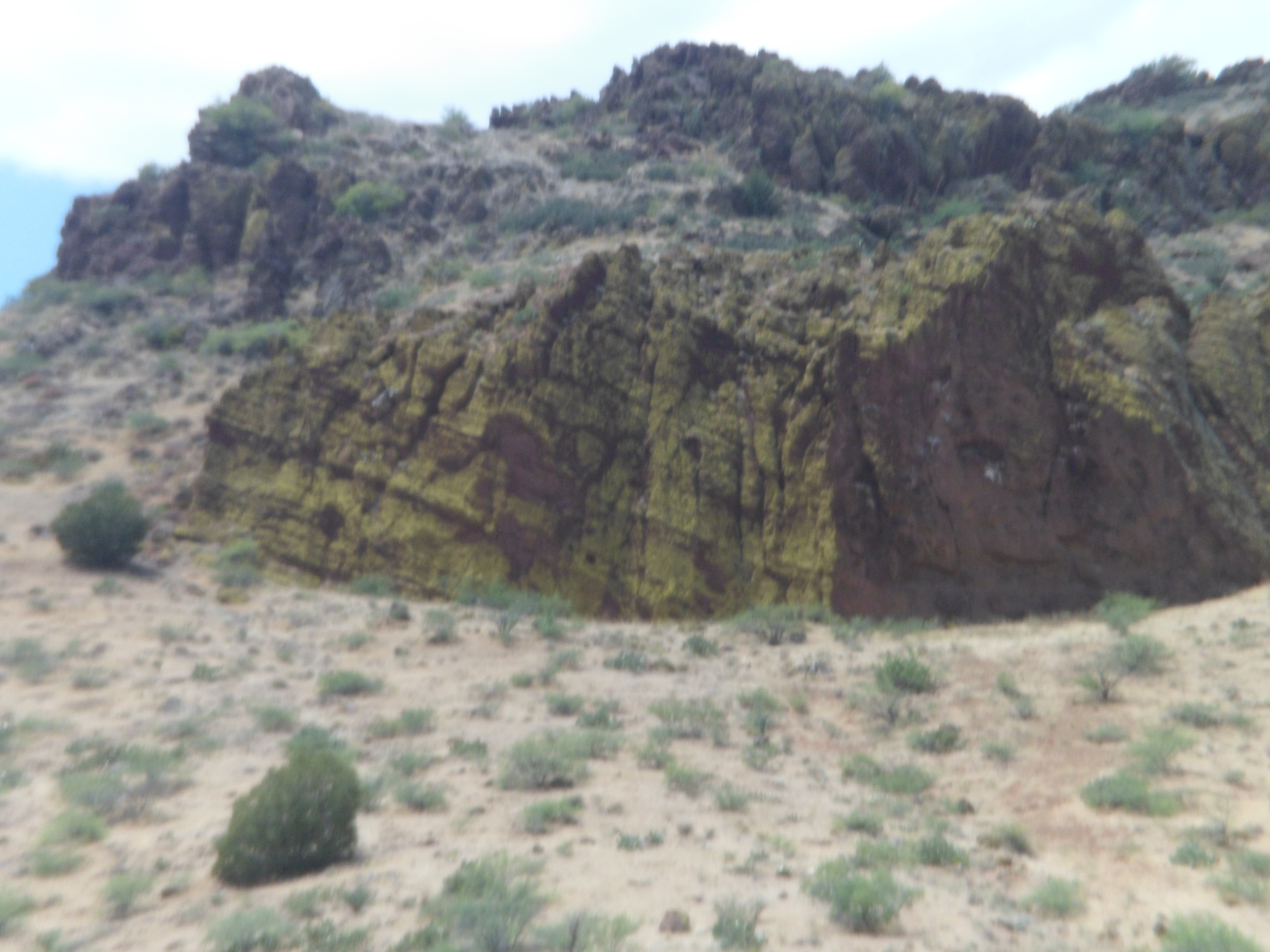
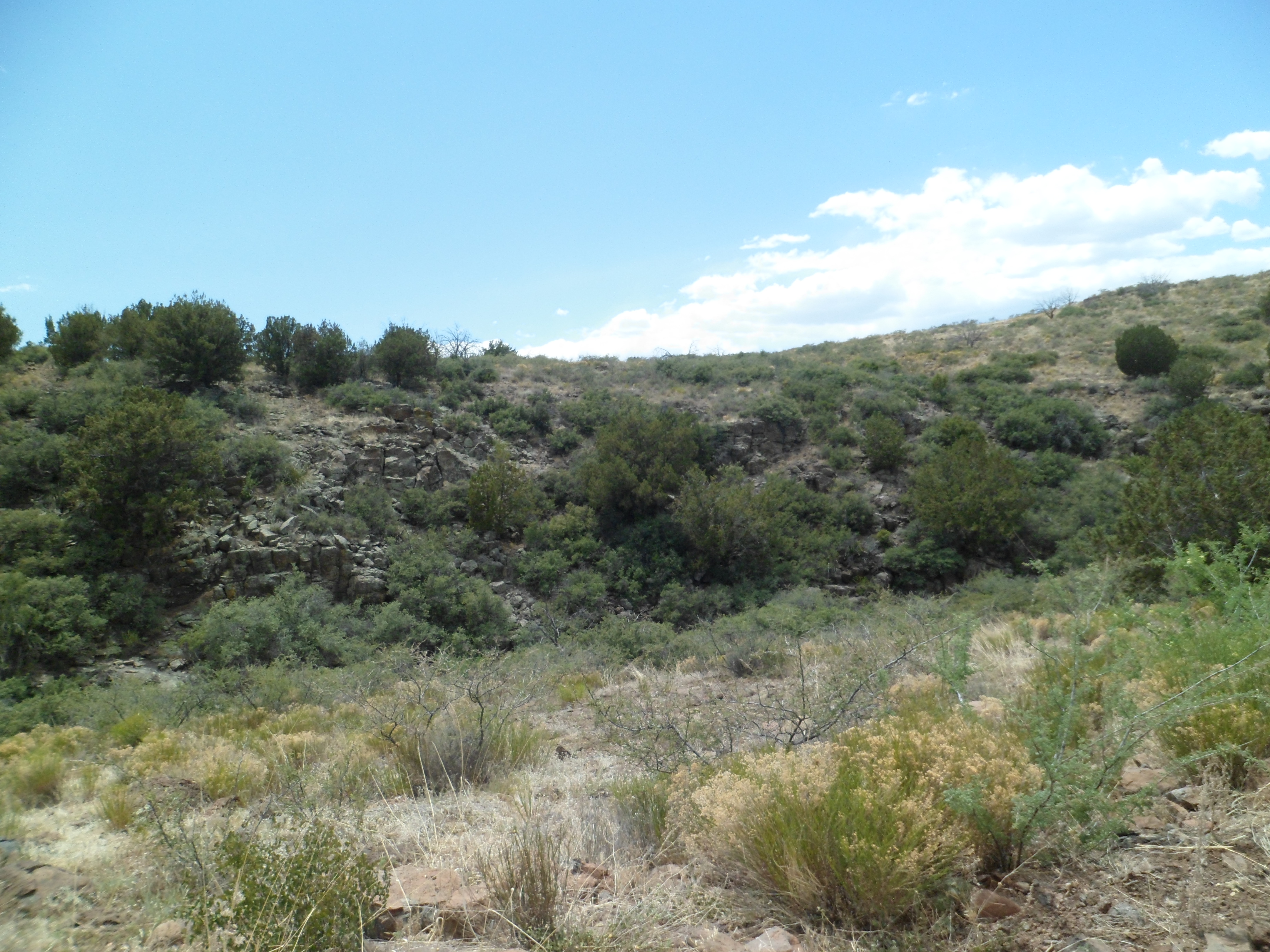
Just east of Estier is five-mile long Horner Gulch.
This long sub-canyon stretches for five miles along Forest Road 68, below Yellow Jacket Mesa, visible at the top.
Here is a longer view of Yellow Jacket Mesa.

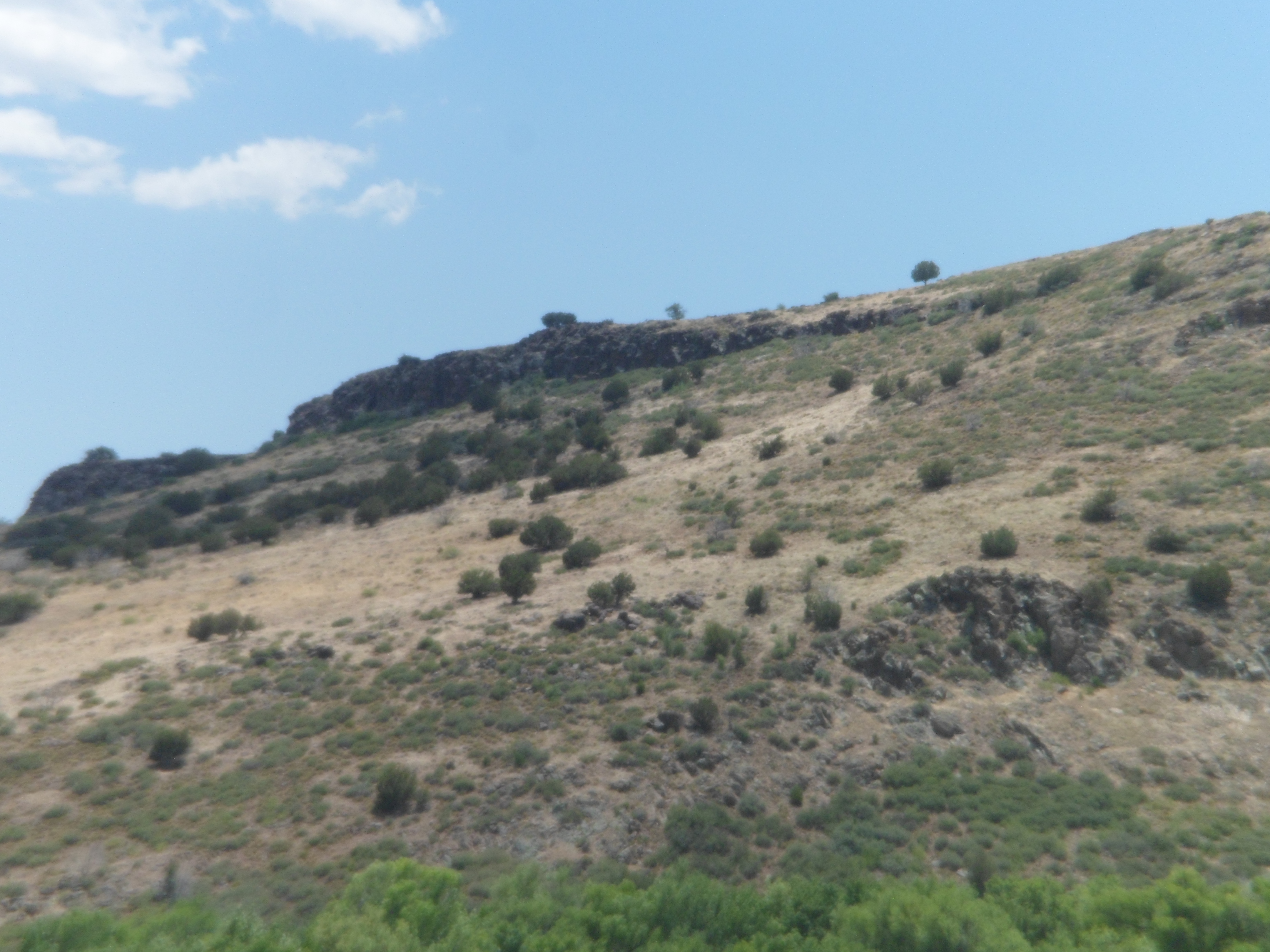
This ridge runs northeastward, from Horner Gulch.
The area has several ranches, which are still fully operational. It also has the old mining town of Dugas, now a place of refuge for those needing to be “out-of-towners”.
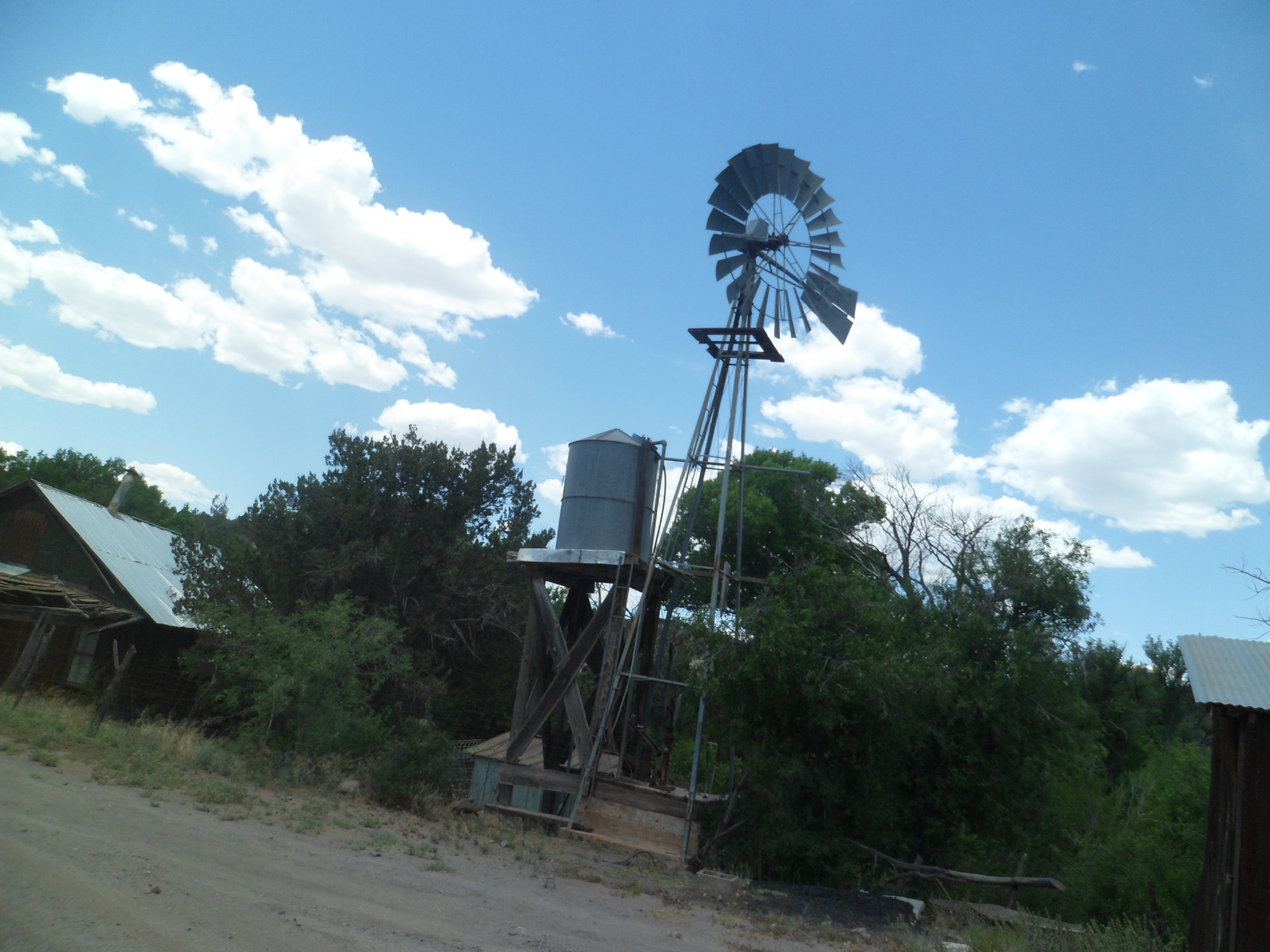
This is the remnant of yet another old mining town. Now, those who want to be left alone hang out here. They were nice enough to let me take two photos.
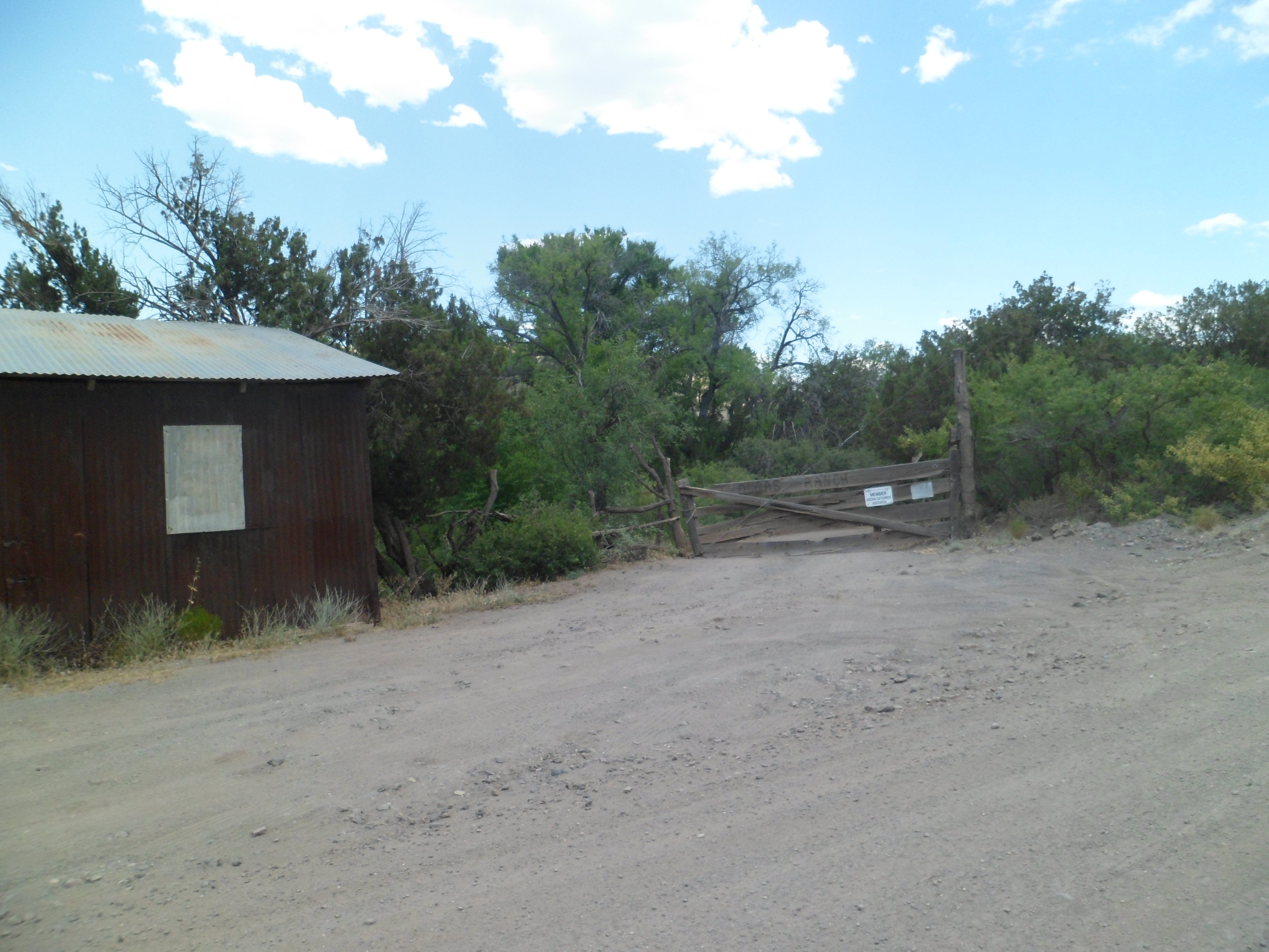
This property is mostly abandoned. The owner supposedly just shows up once in a blue moon.
This is the north ridge of Tule Canyon, which runs east of Dugas.
This is Mount Thomas. From here on, the landscape becomes more lush, with Sycamore Creek and the Verde River exerting greater influence.
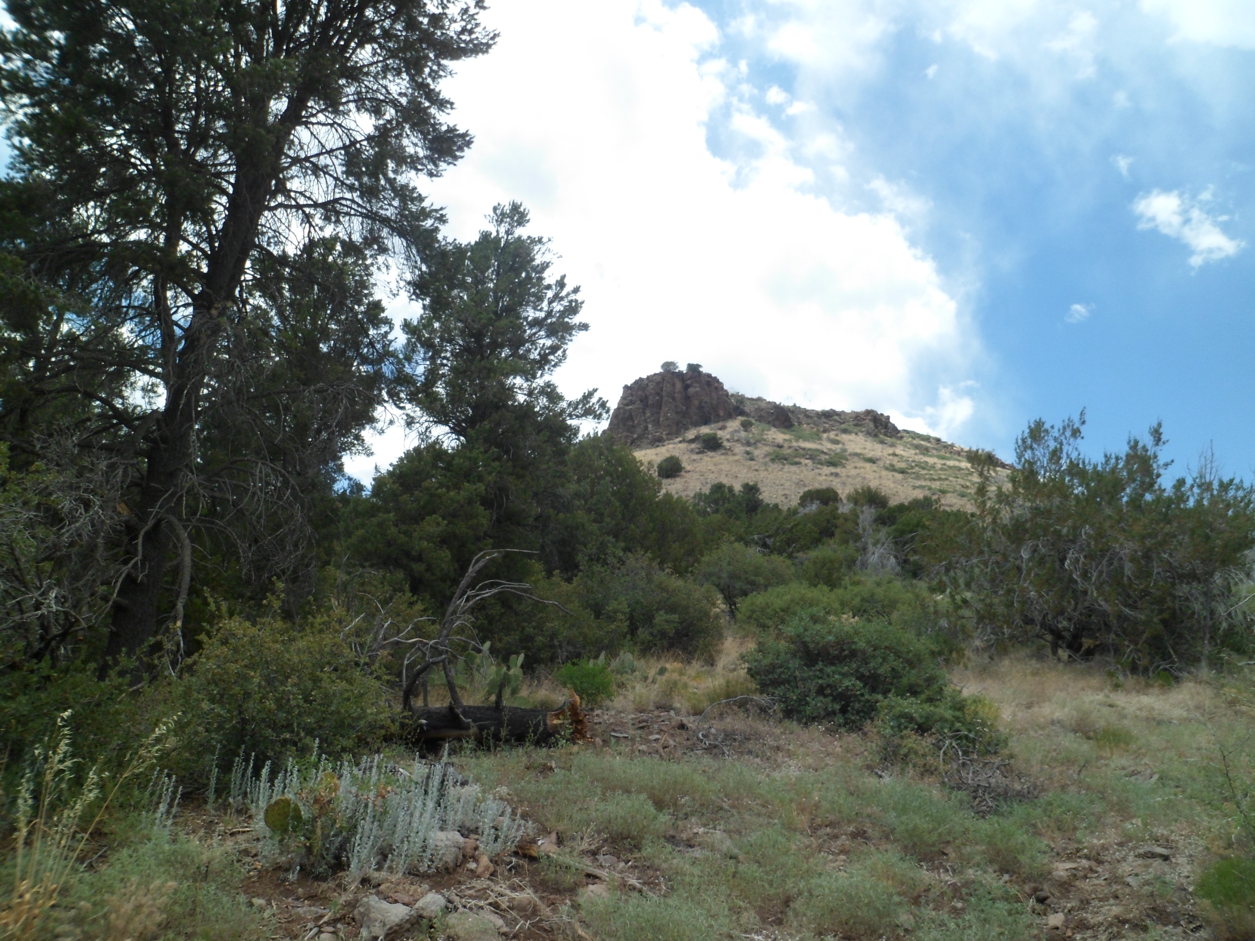
This igneous rock outcropping rises just southeast of Dugas, and about three miles southwest of Pine Mountain Wilderness
In the next post, I will showcase the canyon rising from Sycamore Creek, the northern first mile of Pine Mountain Trail, and the lushness of Beehouse Canyon.

Beautiful country side there and happy Anniversary to you and her both, and you know she is still there with you.
LikeLike
She is always around, Ruth. Thanks for your well wishes. 🙂
LikeLike
Looks like a nice, quiet place.
I had to google chuckawalla. It did not disappoint. Although I have to admit, I expected something more along the lines of an armadillo/wallaby mix. I don’t know why.
LikeLike
We are alleged to have Jackalopes, though I am still looking. :}
LikeLike
These are really great I totally love the windmill
LikeLike
Some of the finest places I have found are in towns which technically no longer exist! 🙂
LikeLike