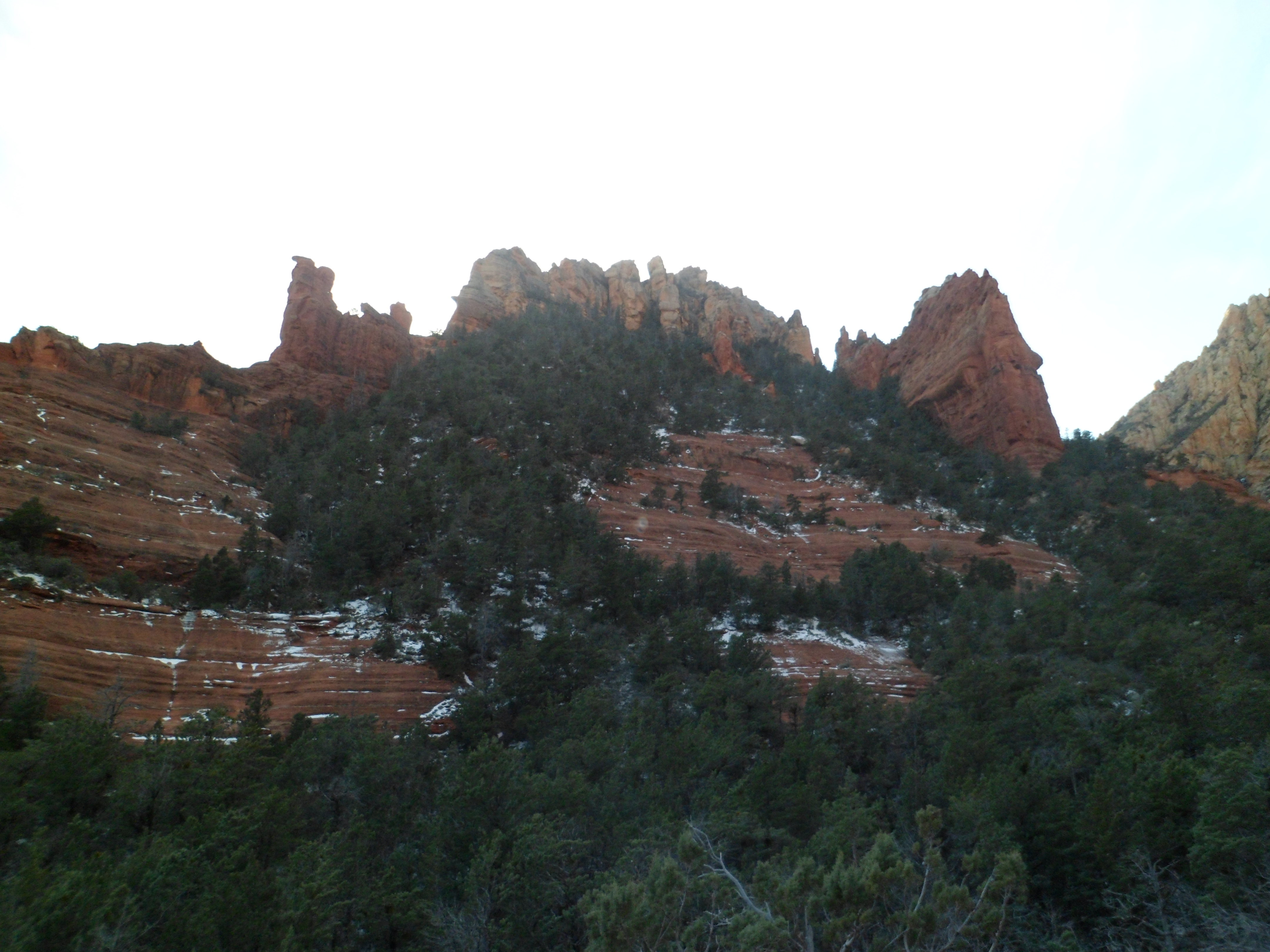
Last fall, I visited this area of Constellation Trail, built around the site of the 1959 crash of the US Air Force jet, Constellation, in Prescott’s Granite Dells area. With yesterday being a heavenly day, I went back and took several photos of the area. Here are six of those.
This sort of scene is de rigeur among the thousands of hoodoos in the Prescott area. Boulders, of granite and of limestone, are the dominant geological feature in our neck of the woods. It all makes for hours of great hiking, clambering and making friends, for both people and dogs.
If Oatman, a preserved 19th Century town which still has an active mining operation nearby, were to tout itself as a north Arizona version of Bisbee- it’d be a stretch. Oatman is, however, unique. It has a bustling crowd of California and southern Nevada day-trippers, a few off-the-beaten track adventurers, who scout the nearby Black Mountains- which are quite interesting, in and of themselves, and a pack or two of semi-wild burros. The equines are descended from pack animals which came with northwest Arizona’s silver and uranium prospectors, in the late 1890’s. They are generally beloved in these parts, and loathed by a few “earth-firsters” who have somehow concluded the burros are a threat to native bighorn sheep- which stay in the mountains, while the burros are town dwellers and content themselves with the foothills.
This past Presidents Day marked my second trip to Oatman. The last time I was here, in 1979, the road was rutted and potholes were predominant in the pavement. This time, the road was quite smooth, though there were several hairpin turns. Oatman lies 28 miles west southwest of Kingman. In between are the awesome Black Mts.
Oatman appears, rather suddenly, after 28 miles of Mohave goodness. The initial ambiance is of a misplaced ski chalet. Right around the corner, though, is the town’s official greeting.
The main street would not be out of place in any of a number of Western mining towns; nor would the wry humour.
The main attraction, though, are the town’s unofficial greeters.
Excuse the last, grainy photo. I just couldn’t resist including Mama and Baby, even if they appear rather impressionistic.
This all goes to show what a wealth of delightful scenes may be found between Phoenix and Las Vegas- a stretch of road many view as “Let’s just get it done.”
Dolan Springs, AZ is an unassuming little town- gateway to the Arizona shore of Lake Mead and the Hualapai Nation’s Grand Canyon Skywalk. It does, however, have a series of four or five interlinked trails, including one named for Susan B. Anthony, who, to the best of anyone’s knowledge, never visited these parts. No matter, the women of Dolan seem to be of the same independent spirit which led Ms. Anthony to achieve great things, which benefit all of us- male or female.
The Sue B. Loop goes for a bit more than two miles, in the Joshua tree forest, just east of Dolan’s business district and near the local elementary school. The day I visited was President’s Day, so things were slow. I was amazed, though, that I was the only person on the trail. I could hear people up in the Mt. Tipton wilderness area, but that is another two or three miles to the southeast. That’s the beauty of the desert: Sound travels.
Here are some scenes of the Sue B. Loop, Mt. Mitten and Castle Rock (the last two will be visited another time.)
The Joshua tree, along with the yucca, is a staple of the Mohave Desert.
Mt. Mitten and Castle Rock, seen below, are the northernmost sentinels of the Cerbat Range.
All things that grow, start small- whether human, animal, vegetable or even mineral. Here, a “baby” Teddy Bear cholla greeted me- from a safe distance.
Whether on mild days, or in the blast-furnace of summer, the Sue B. Trail keeps vigil over pleasant Dolan Springs.
After a week of finally divesting myself of the house in Phoenix where so much of Penny’s care, and most of her final days, took place, I am getting back to unfinished business. Here in BruinLand, that means- oh, heck yeah, the Kingman trip of two weeks ago. One of my most enduring memories will be the jaunt up to Chloride, an old mining town-about twelve miles northeast of Kingman, as the crow flies. Chloride claims to be the oldest mining town in AZ, and about 300 people still hang out there, many hoping to still strike a bargain with the soil.
What really brings it home, though, are a series of rock murals, painted by artist Roy Purcell in the 1960’s, and redone by Roy and his family, about twelve years ago. They treat the subjects of Egyptian and southwest mythology. Here we are, in Chloride:
After leaving “downtown” and the paved road behind, I stopped here
and commenced walking the 3/4 mile up to the murals, with their preceding pictographs and one more recent visitor’s autograph (thankfully, it is off in an obscure spot). The murals themselves are a stunning contrast to what lies around them.
At the end of the self-guided tour, lies the purpose of it all.
After such a visual feast, it was time for lunch. I was not disappointed. Yesterday’s is one of those gems that can only be found by getting out and finding what’s out there.
The portions are HUGE and the quality of the food matches the quantity. While I was waiting, the hostess showed me Roy Purcell’s gallery, in a side room of the restaurant.
Chloride would have been worth the trip, in and of itself, but two more gems lay ahead: Dolan Springs and Oatman.
The late character actor Andy Devine called Kingman, Az home, and the town has returned the favour, having named its stretch of old Route 66 “Andy Devine Avenue”, shortly after his death in 1978. Kingman is mainly known as a southern gateway to Las Vegas, but to me, it is also the jumping off point to a variety of Mohave Desert vistas- some of which are inside the city limits. Kingman is a good place for a fairly cheap, but colourful, weekend.
So, on Sunday, Feb. 17, after spending time with some friends in a wilderness area near Watson Lake, Prescott, I drove up to Kingman and settled for the evening at an Economy Inn. I had a good afternoon and evening just walking around the downtown area of this old mining community. Kingman is not Bisbee, or Jerome, but it holds its own and is worth a day or two of exploration. A good place to start is the Powerhouse Visitor Center, at the junction of Andy Devine Ave. and Beale Street. There is a Route 66 Museum within, for those who enjoy such things.
I was more interested in the model train set.
The town was settled by Italian miners, so downtown has its share of Italian Cypress. The trees grace several properties, including the Mohave County Courthouse.
Downtown has several places listed on the National Register of Historic Places.
Chief among them is Bonelli House, originally built for an Italian immigrant, George Bonelli, and his family. It is available for viewing until 2:30 PM, except on Sundays. I had a full schedule on Monday, so it will be there to check out, another time.
Kingman folks have a healthy sense of humour- and funky shops are as common here as anywhere.
I enjoyed reasonable meals at a couple of spots in Kingman: Mr. D’z (fairly good food, with a heartfelt and hard-working staff) and Calico’s (friendly staff, good food-in modest portions).
Kingman and towns to the immediate north are bounded on the north and east by the Cerbat Range. The Hualapai Mountains, viewed below, lie a bit further to the east, and will be the subject of a post later in the Spring.
Next up, a visit to the Cerbats, their interesting rock murals, and Arizona’s oldest mining town: Chloride.
No photos for this post. I just want to write of my Plan B for this evolving year. There is a good chance that the people with whom I am working now will want me to continue until the end of May. If that happens, I will kick an old debt to the curb. I would take a Friday and Monday off,in mid-May, for my niece’s college graduation. I would not go to Oklahoma and Texas until June, after the Colorado week. This year’s Big Kahuna would still be on, though- South Dakota-Chicago-Toronto-Newfoundland-Boston-NYC-St. Louis-home, and many points in between, from August 1 to September 30, or thereabouts. California would wait until late June-early July.
Life in Prescott, though, is far more satisfying and homey-feeling than it was last year, so I don’t feel so spring-loaded.
The West Valley of Metro Phoenix is, for the most part flat farm country, mixed with suburban housing tracts, It has some man-made gems, like downtown Glendale, the stadium districts of Glendale, Peoria and Surprise and the Arrowhead shopping complex. Its natural wonder, though, is White Tanks Regional Park, the crown jewel of which, in turn, is Ford Canyon.
To get to the Ford, I took portions of three other trails: The flat, lush Waddell, the challenging, but heavily-traveled Mesquite Canyon, the serene and comforting Willow Canyon. The Waddell is a good intro trail for those unfamiliar with the Sonoran Desert. It also has some petroglyphs.
The Mesquite Canyon Trail was part of my first visit to the White Tanks, last winter. It’s where one gets the groove on, and sheds unwanted girth, either by bicycle or, as I am wont to do, on foot.
Willow Canyon is gentle intermediary between demanding Mesquite and intense Ford.
It also gives hints of the white granite which, in times of flowing water, helps make Ford Canyon so ferocious and in dry times, so majestic.
The signal that Ford Canyon would be a challenge came early along the eastern section of the trail.
Fortunately, the ups and downs of the Ford Canyon Trail do not, for the most part, entail boulder hopping. The exception is at the now-abandoned WPA dam and around its subsequent pools.
After traversing this lovely area, I had a thought: “I love you, Ford Canyon.” Whereupon, I came across a small rock, in the middle of the creek bed.
The tangible element of this feeling would appear ten minutes later, in the persons of Robin and Johnny, a devoted couple whose story mirrors that of Penny and me. Robin is coming back from her disability, with an intensity that befits a person hiking the likes of Ford Canyon.
So, I knew what my love wanted of me and stayed with this indomitable pair for the rest of the hike. They are a prime example of what really makes my sojourns worth every minute
Johnny also makes great rock cairns, to guide those who come along later.
Ford Canyon is one crown jewel that shines brighter, for giving confidence to my newest friends.
By my usual standards, this is ancient history, but since I am just now getting over a strain of flu that was not covered by the widely-available shots, here it is.
Last Sunday afternoon, I drove out to Lake Havasu City, on the Colorado River, for the purpose of helping at a Red Cross event, at the Fourth Annual Lake Havasu Balloon Festival. This town is geologically ancient, but historically among the more recent arrivals among Arizona’s communities.
While I would not be likely to skydive, ever, being in the basket of a hot-air balloon might be an interesting way to spend an hour or two. Have a great day, everyone, whether on the ground or far above it.
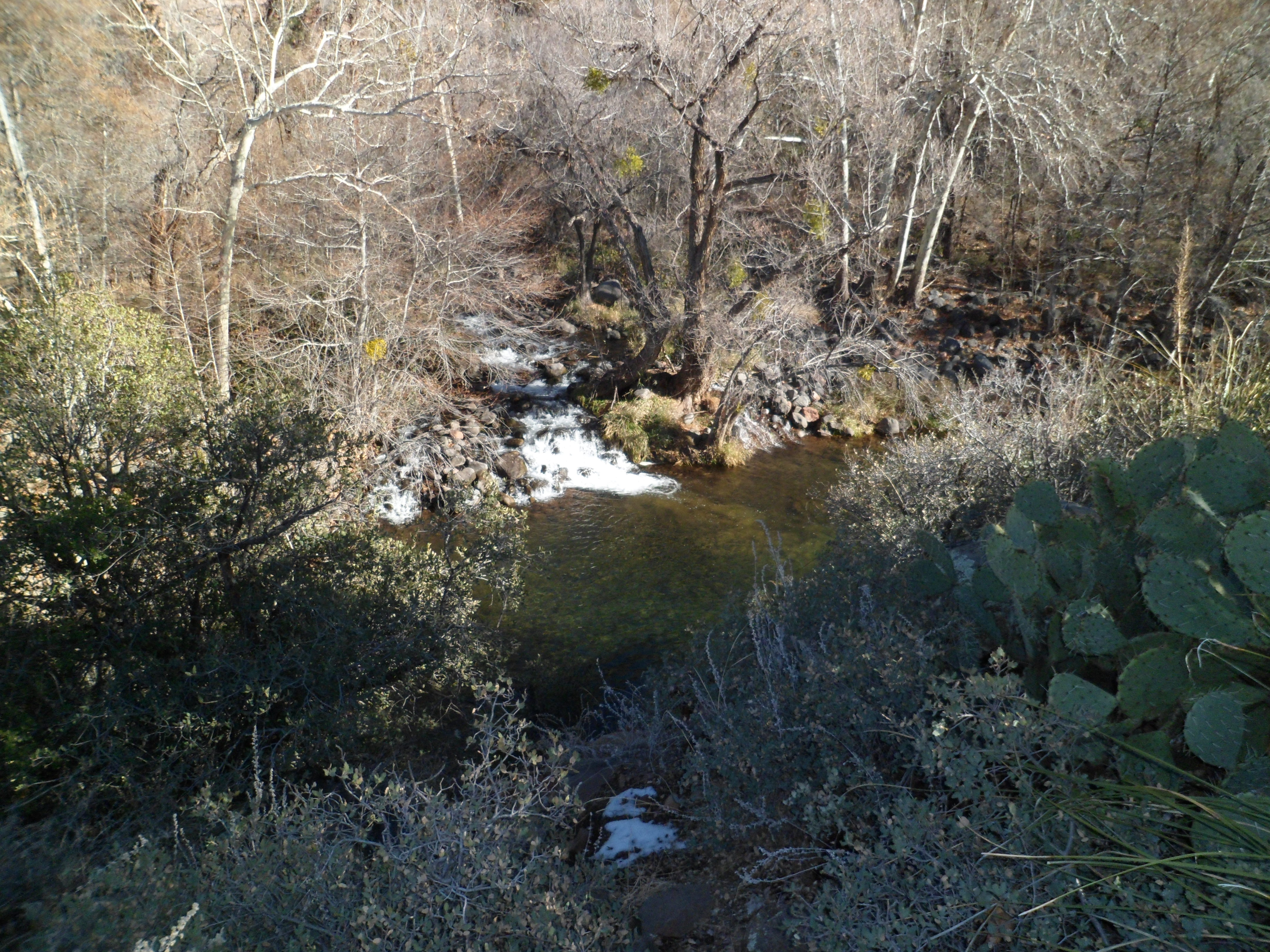
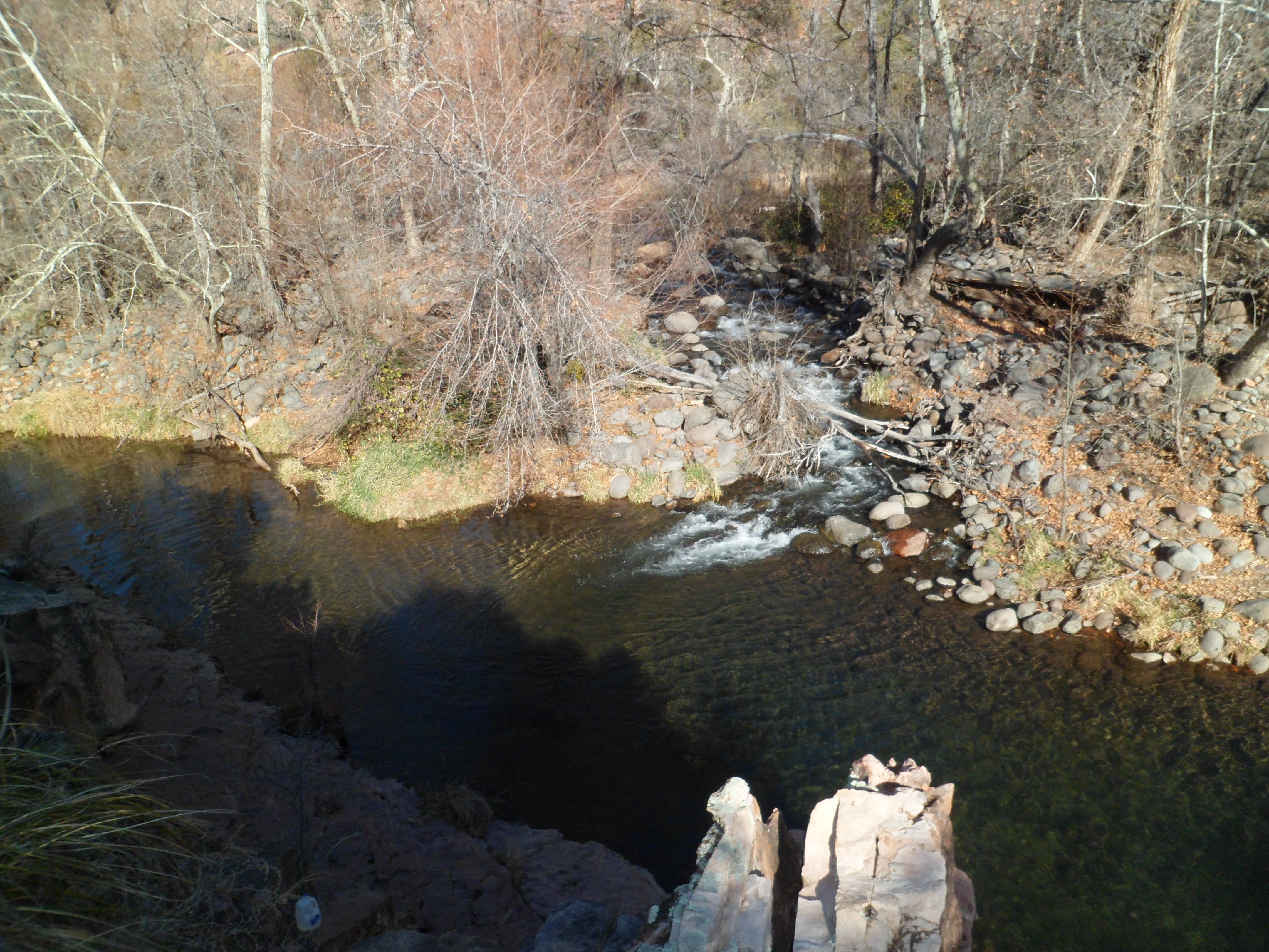
I felt the irresistible urge to return to Sedona today (January 6), so off the KIA and I went, to Grasshopper Point. I headed first down Allens Bend Trail, to the edge of Oak Creek.
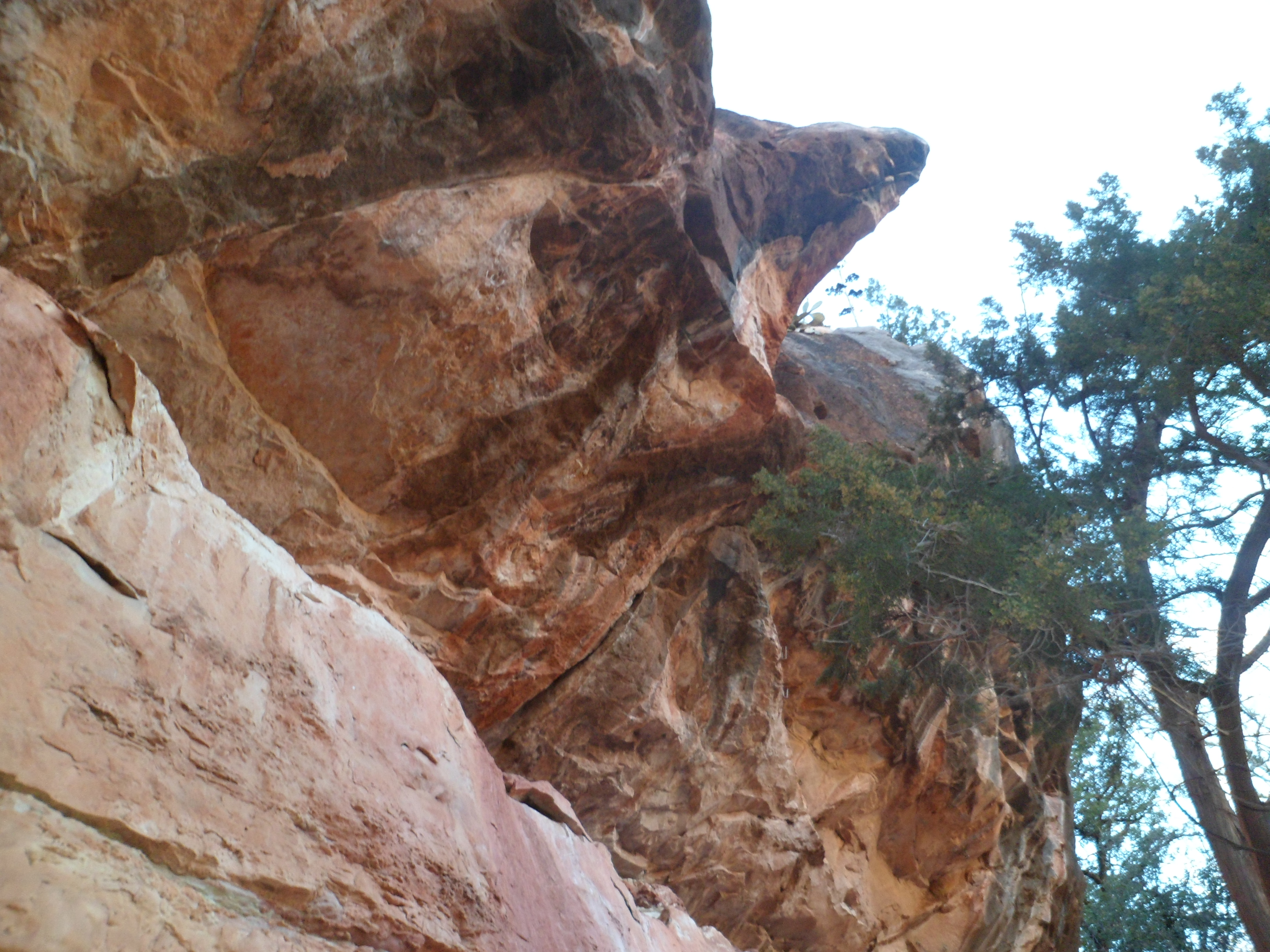
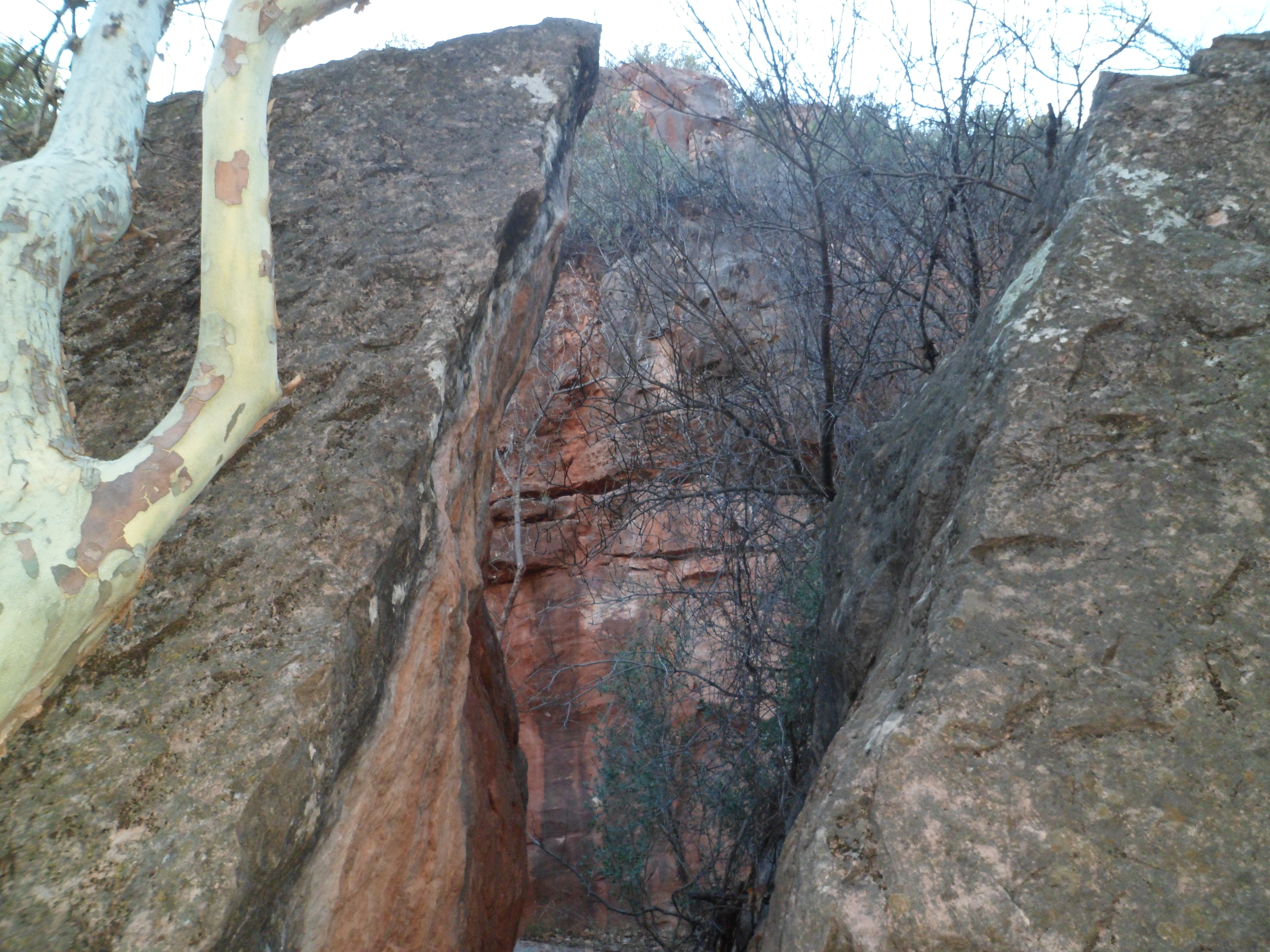
I found several rock overhangs along the way to the Casner Canyon Trail, which requires crossing Oak Creek. That was not advisable today, with the creek running full tilt.
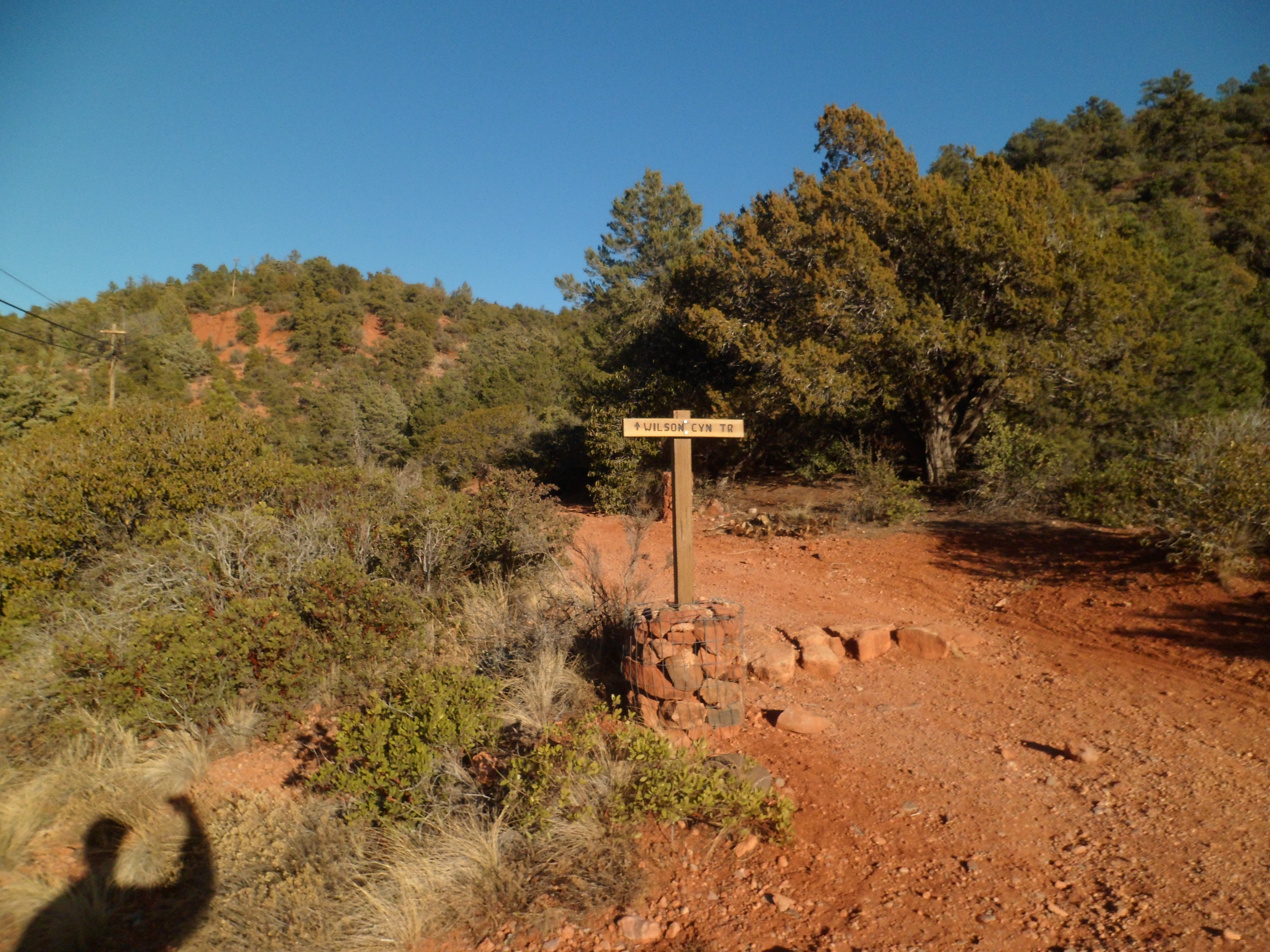
As my dinner locale, La Cucina Rustica did not open until 5 P.M., I had time to savour Wilson Canyon, about 1 1/2 miles west of Grasshopper. This canyon heads up to the foot of a mountain, also named for Charles Wilson, whose local claim to fame is that he took on a grizzly bear in the area, and lost.
I had a bit more company on this trail. In fact, the couple I met while on the way out of Casner Canyon showed up in Wilson, as I was hiking out. I hope they hurried; the sun was going down. It was good they were there, though. A young lady was hiking solo, up to the rim, as I was headed down.
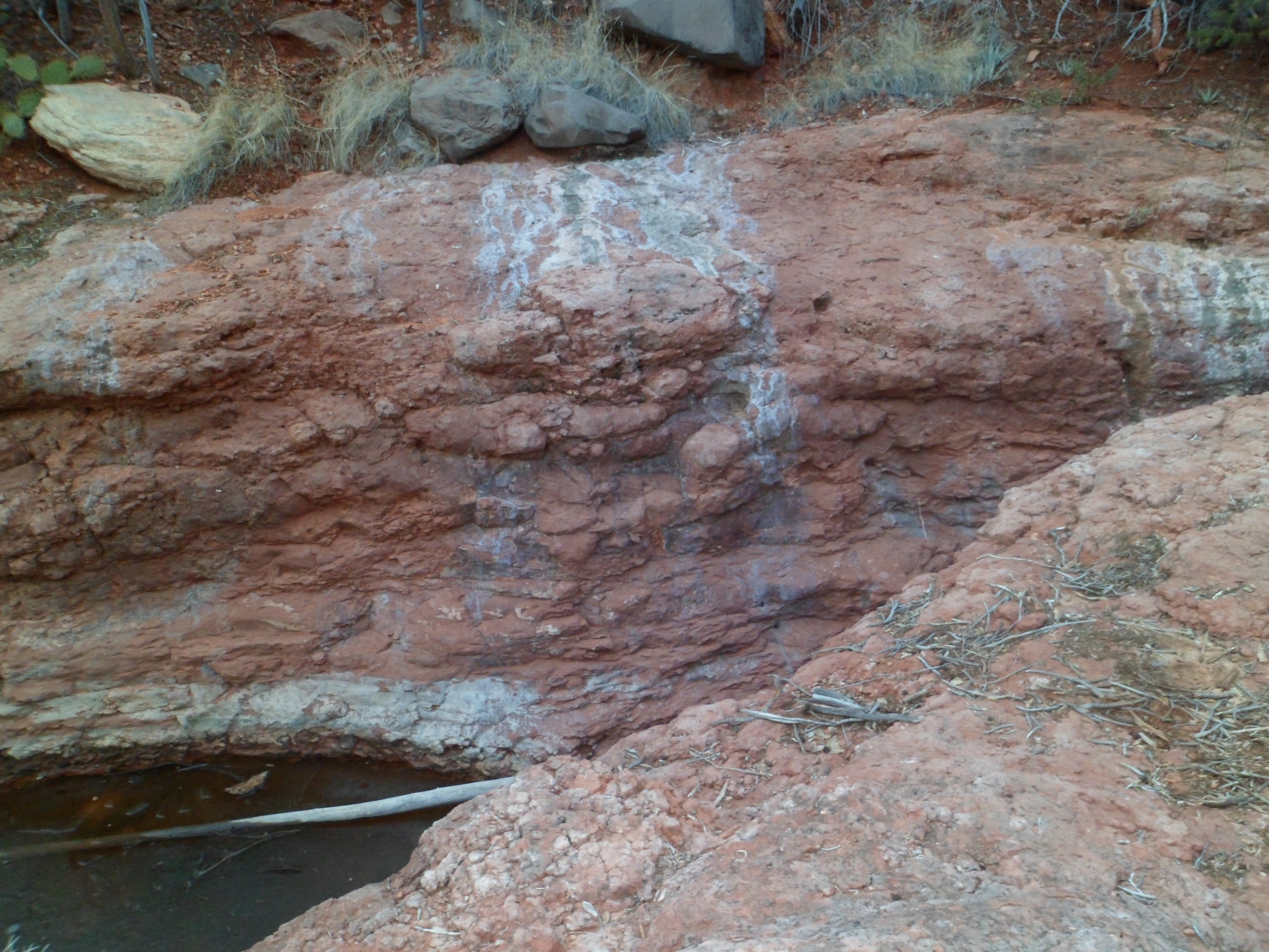
Here are some scenes from that somewhat icier path.
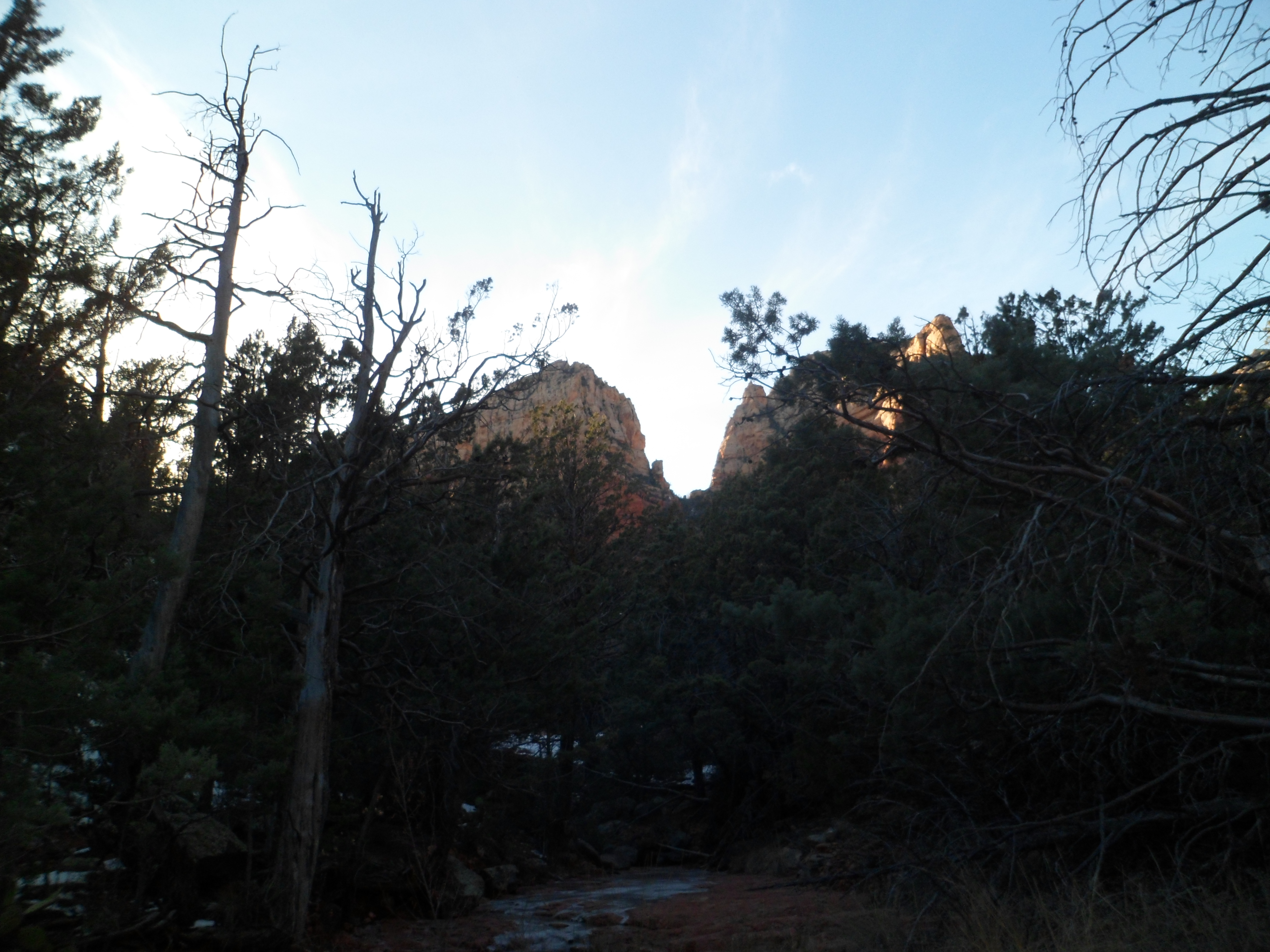
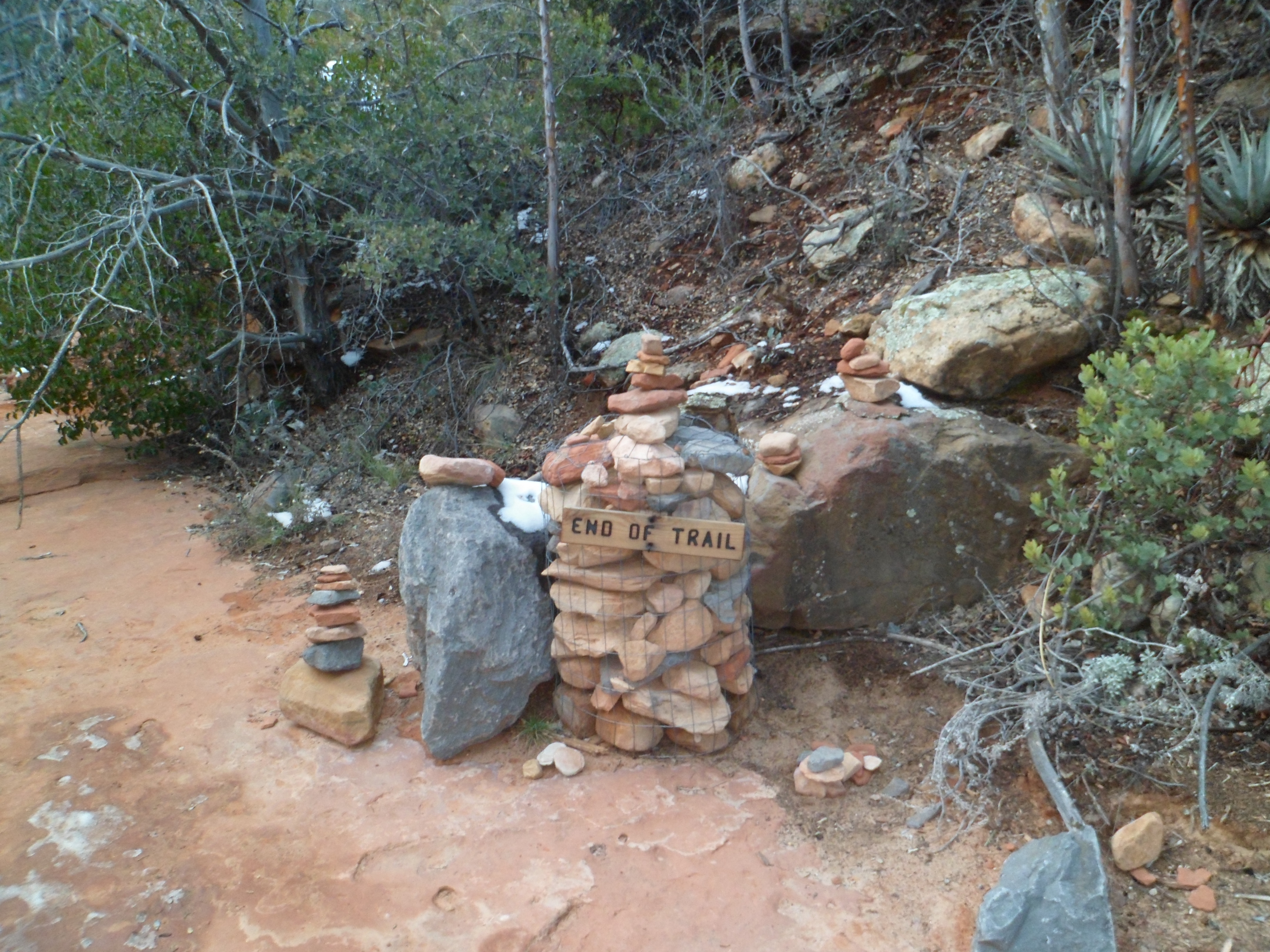
After “Trail’s End”, I scrambled up to the top of the canyon rim, and saw a spectacular panorama:
The silhouette below is of a horse-faced rock, which seems to be pointing towards the red rocks to the south.
After Wilson Canyon, with my craving for fine Italian cuisine hitting a high level, I enjoyed cauliflower & cheddar soup, penne con salcicce and bocca negra con gelato.
(Salcicce is sausage and bocca negra is flourless chocolate cake.) All of Chefs Lisa Dahl and Andrea Di Luca’s creations are heavenly. I know this especially from owning a copy of Lisa’s cookbook.
True to form, I got up off my bottom and went out for a moderately vigorous clamber over the rocks along the Agua Fria River, in the Badger Springs area southeast of Prescott, on New Year’s Day. I like this area in summer, as the languid river offers pools of refreshing water and plenty of smooth rocks for sun-bathing. The steep canyon between Badger Springs and the second bend of the Agua Fria looked inviting, the last time I was there, so that was my focus on Tuesday.
\
I started where I left off, and relaxed, last summer. It wasn’t hard to cross, hopping the rocks, though they are smooth and a bit slippery. My idea being to survive for the coming year, at least, I was slow and meticulous in crossing. The rocks are mostly white limestone here, with the occasional igneous volcanic cast-off, from eons ago. An example is the boulder in the lower right corner of the photo below. Igneous rocks absorb salinity easier than their granite and limestone companions.
Some fifteen years ago, a couple of local teens spotted some ancient petroglyphs along the trail from the parking area to Badger Springs. Walking further towards the second bend, they decided to tell their own story on this limestone bench. It’s a love story, and still is visible in the fluorescent spray colours they used.
An hour into my jaunt, I reached the second bend of the Agua Fria. From here, it would be about a two-hour boulder hop to Black Canyon City. One of these days, I will go down to BLC, park my car, and hike up the riverbank in the opposite direction.
As for the rest of the week, I have been happily occupied with Baha’i activities, the first of a series of dental appointments and helping the neighbours take down and store their holiday ornaments. I also went by the old house, found it wide open in the back, and, after determining this had been done by the soon-to-be new owners, picked up a few items that they won’t need and closed the house back up.


 The Joshua tree, along with the yucca, is a staple of the Mohave Desert.


 and one more recent visitor’s autograph (thankfully, it is off in an obscure spot). The murals themselves are a stunning contrast to what lies around them.










 The rocks are mostly white limestone here, with the occasional igneous volcanic cast-off, from eons ago. An example is the boulder in the lower right corner of the photo below. Igneous rocks absorb salinity easier than their granite and limestone companions.
 Some fifteen years ago, a couple of local teens spotted some ancient petroglyphs along the trail from the parking area to Badger Springs. Walking further towards the second bend, they decided to tell their own story on this limestone bench. It’s a love story, and still is visible in the fluorescent spray colours they used.

