The Butterfly’s Heart

4

March 22, 2021, Sedona- After an unexpected, but necessary flurry of activity, both online and around Prescott, I set out around Noon, and came up to the southwest corner of this ever-delightful town, to complete another segment of Limekiln Trail, which I have been walking in segments, these past five months.

Today’s route took me from Deer Pass, where I had left off last time, to Dry Creek, a distance of 5 miles, roundtrip. The route primarily follows Forest Service and ranch roads, with Dry Creek Road (FR 9845),leading up the creek’s small, but captivating, ravine. Here, I saw a lone jogger, a few tents in strategic places, and a pair of Shelties, poised and ready to protect their person.

I saw rolling grassland, long white irrigation tubes, people in jeeps and trucks struggling to navigate the rocky canyon road, and a beckoning wall of red rock-off to the northeast. I saw lots of heart-shaped rocks-and a butterfly rock, embedding an inner heart.

It was an inauspicious start, at Deer Pass Trailhead.
It looks like someone from Wickenburg lost their hat.
After a half mile walk along a ranch road, the descent into Dry Creek Ravine began.
A small field of volcanic rock and silt lay at the bottom of the hill.
After passing a few tents and wishing Godspeed to some slow-moving vehicles, I reached Dry Creek.
It was, well, dry. The creekbed is alluring, though, in and of itself.
I walked a bit further up the hill, to my stopping point for the day, from which Red Rock Loop Road is 2.3 miles further, and thus a good parking spot for the next segment, which will bring me back to this spot.
Delights can be small, as well as large, around here, This butterfly-shaped rock reveals its oblong heart.

Secret Cove

2

March 16, 2021- My hiking buddy and I got up onto the rocks above one of Watson Lake’s most beautiful sections. As she is not quite up to clambering around the more difficult rock sections as yet, we turned back. Another time will suffice; Secret Cove is not going anywhere.

There are a myriad trails through the Glacial Age’s gift to Prescott: Granite Dells. The hoodoos and small granite mounds that dominate the northeast corner of this town have been a draw for residents and visitors alike, since the mid-Nineteenth Century. The dells form an arc, rising on the north side of Watson Lake and swinging west, to its fellow reservoir, Willow Lake (that sector being called Willow Dells), the area is a hodgepodge of City Park and private residences that have, for the most part, been built in a manner that respects the wilderness.

We walked mostly along a converted rail bed, known here as Peavine Trail. Its wide, flat mien allows bicyclists, equestrians and disabled people equal space, with hikers free to go off on any one of a dozen trails, mostly leading to overlooks of the lake.

Below, is an old photo of Secret Cove, from a hike I took there in November, 2011. The tranquility of the place doesn’t change, and even being shy of the cove itself, we felt a deep serenity.

There will be several visits to this hidden gem, in the near future-especially as the weather gets mild again.

The Big Snow

6

January 25, 2021- The heaviest snow we have seen, since 12/24/2018, arrived late last night, and has continued for most of today. It is expected to go on, until about Noon, tomorrow. As I write this, the white stuff is indeed coming down, in robust fashion.

I grew up, in eastern Massachusetts, with snow being a staple of our winter experience, from mid-December to early March. As with many people, I recall snowdrifts being as tall as, or taller than, my ten-and eleven-year-old self.

I recall reading about the Great Blizzard of 1967, when President Johnson sent military food and fodder drops to the Navajo, Ute and Hopi Nations-and the Southwest was blanketed with snow for days. In 1978, I lived in Bangor, Maine and experienced the three-day blizzard, when it was possible, for those so inclined, to cross-country ski in downtown. I also found myself stuck in Skowhegan, Maine, one snowy February night, and blew off the early morning alarm, only to wake to clear blue skies and scrambling to call in “sick” to my workplace, some thirty miles away. In the mid-1980s, setting out in light snow, from the Navajo community of Tuba City, the storm followed three of us, clear to Tucson, with snow even on the streets of downtown Phoenix. In December, 2000, Aram and I were pursued by a snowstorm, from Roanoke, VA to El Paso, as we took a route across the Deep South, with a view towards avoiding winter weather.

Snow can be fickle, but it also can be intense-and so it is, this evening-with accumulation in even lower-elevation areas of Yavapai County. I was to have gone in to two different COVID-relief school assignments, but Mother Nature simply said “Enough!” Instead, I went out, twice, and did some shoveling, as will likely be on the agenda tomorrow. That, too, is something that was a staple of my childhood-and Mom didn’t even need to ask- we just put on our boots and winter garments, and did it.

It is nice, for now, to have a throwback. Prayers, though, go to those who may have lost power, however temporarily, or who had to find shelter, rather quickly.

The Walk that Took Forever

2

January 4, 2021- There was a stretch of time, last night, when I wondered whether I would see Home Base, or any place away from Copper Mountain, ever again. That feeling subsided, with focus on a couple of people who are no longer in my life. I spoke, psychically, with the two of them- forgiving one and apologizing to the other. As I walked the re-found trail, which turned out to be not a loop, but an out-and-back, it was enough to know that I would soon be re-united with my car and with Home Base. I also was just glad to be around people again, even if it was just the sight of a few RVs and a still-lit demo room at a place called Creekside Cabins, whose owner had gone to bed and had left a notice saying to call his number, in case of emergency.

It was then that I discovered my phone was out of juice, with not even enough to call 911. After sitting on Creekside’s porch swing a bit, and taking a short walk around the property, I crossed the empty highway and began to walk in what I thought was the direction of the Black Canyon Recreation Area’s Big Bug Trailhead parking lot. (I had come off the trail about a mile too shy, but reached Mayer’s Circle K, right around 5 a.m.

Coffee and a sandwich led to the kind clerks hearing my story, and making an attempt to enlist the help of our County Sheriff’s Department. As I suspected, that didn’t pan out. The officers did come by and ascertain that I was physically and mentally okay-and that I had not left anyone else stranded in the wilderness. A Circle K regular customer gave me a ride to the parking lot, I drove home and slept for about six hours, and the series of life lessons, that came last night and into this morning, settled further into my consciousness.

There is the part about, at 70, certain limits that weren’t front and center when I was a kid and young adult, tend to assert themselves. The specter of mortality is always in the background. There is, more cogently, however, the realization that when misfortune strikes, it is a good time to assess on just what parts of life-and with whom, one ought focus. Thus, as I was walking, and communicating with various people, psychically, a sense of peace came over me. I knew, at that point, that I had much more to accomplish in this lifetime.

In all, I walked 22 miles, the most I have done, in one activity, since I had to walk from Carmel to Dixmont, Maine, in 1977. Then, I did 23 miles. The weather, though, was not as bracing as it was last night and early this morning. As I mentioned in the last post, however, there are some things which, if one is paying attention, only happen once or twice.

The Joy of Underestimation

4

January 3, 2021, Mayer,AZ- There are two kinds of stupid: The one is, sadly, unfixable. The other is the kind that the person exhibiting it can fix, and definitely should. Today, I set out to hike a new loop segment of Black Canyon National Recreation Trail. There are three measurements given for this loop: 8.3 miles, 13.2 miles and 15 miles. As I learned, to my eternal chagrin, the last measurement is correct.

Before showing you, dear readers, the delights of this segment, (There are many), let me share my take-aways from today’s adventure: 1. Make sure your phone is COMPLETELY charged, before leaving the car. Yes, I let people know, via Facebook, as to what I was doing, from the crest of one of Copper Mountain’s many satellite ridges. Sarcastically, I referred to the experience as “camping”. More on that in the next post. 2. Make sure there are fresh batteries in your auxiliary flashlight. Just because it worked well, on the most recent night hike, does not mean that is true in perpetuity. 3. Print off a PAPER copy of the trail map. Having AllTrails.com does not amount to much, when the phone dies, as it did when I needed it, towards the end of my hike. 4. Of course, if possible, hike with a buddy. That means ADVANCE PLANNING, which I do-but my tendency is to go it alone, and not want to bother other people. Postitive results, though, also came out of this: 1. Recognizing that any winter hikes need to either be started in the MORNING, or put off until they can be started in the a.m. Fitting in a long hike (more than 5 miles round trip) does not work, when begun only after a regular Zoom call is finished. Trust me, scenery at night, even in winter, is beautiful, especially under clear skies and with the Moon to help light one’s way. Still and all: It’s cold, people who know your whereabouts get worried and as, a local resident of this town observed, not all wild animals are either friendly or shy. He was referring to javelinas- not bears or mountain lions. I have seen and heard bears and mountain lions, on shorter hikes, but they’ve kept their distance-and I report those sightings on my phone, rather quickly.

So, there is the foolishness of complacency, rent asunder by the fact that every hike is different. Now, for the good news: Copper Mountain Loop, done properly, affords some exquisite geological wonders. It is a treasure trove of volcanic debris.

Here are five examples, and Mickey Mouse puts in an appeareance.

View of scattered igneous towers, southwest corner of Copper Mountain Loop
Igneous bench, top of southwest ridge
Igneous tower, top of southwest ridge
Igneous bench and tower, southwest ridge
Igneous benches, northwest ridge
Copper-infused slate-slabs and figurine-shaped rocks, northeast ridge.
Prickly Pear Mickey

As the light that provided these scenes faded, and I lost-then re-found the trail (Thanks to the Moon and my spirit guides, including Penny, I had enough sense to plod on, rather than try and tough it out at one spot. Smidgens of sense are better than none-but for the next hikes, things will change.

The Past Prologue and The Fulfillment Ahead

4

January 1, 2021

The year just passed has given us a few gifts, as well as having taken some treasures from us. Chief among the gifts is the ability to conduct mass meetings online. This will ease active participation in Baha’i activities, regardless of where I happen to be.

It is a poorly-kept secret that, if it be the will of God (and the creek stays within its banks), I will be back on the road, and in the air, for a fair portion of the next four years. Prescott will remain Home Base, at least for this year. There is much for me to do here, and in the Southwest at large, between now and the middle of May. The stage was set, as it were, by callings I received and followed in the 2010s.

So 2021, any larger issues notwithstanding, is looking like this:

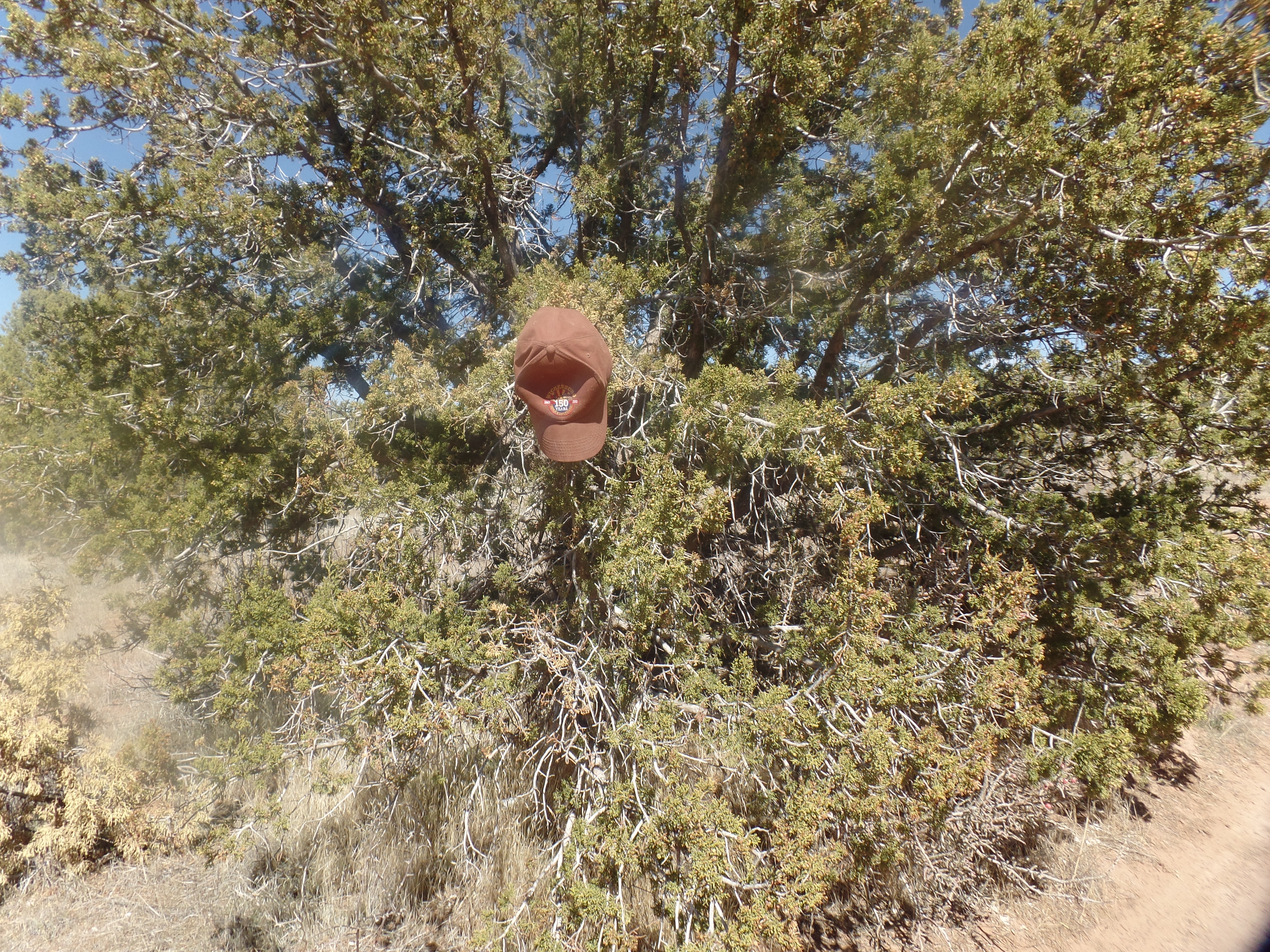
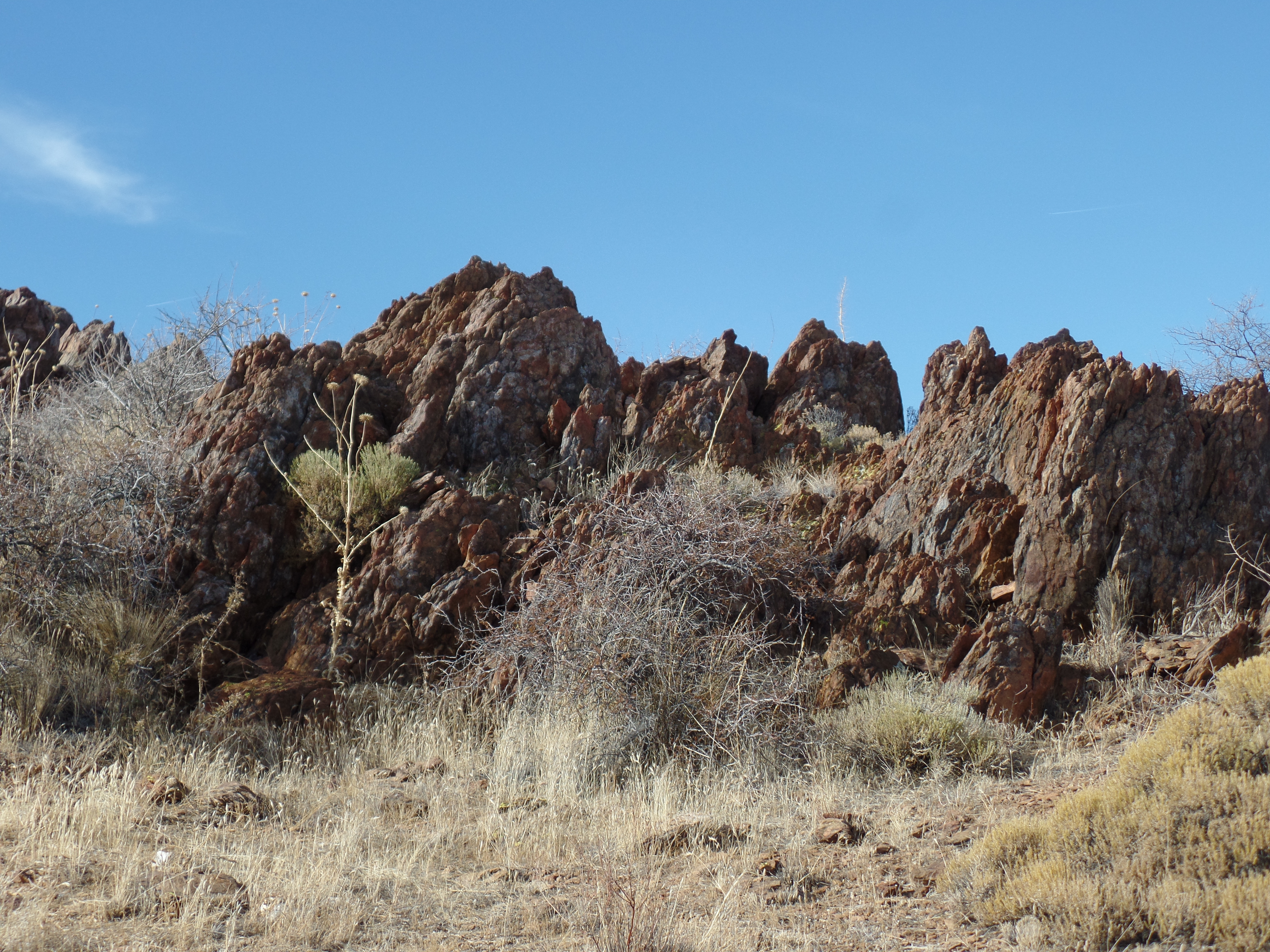
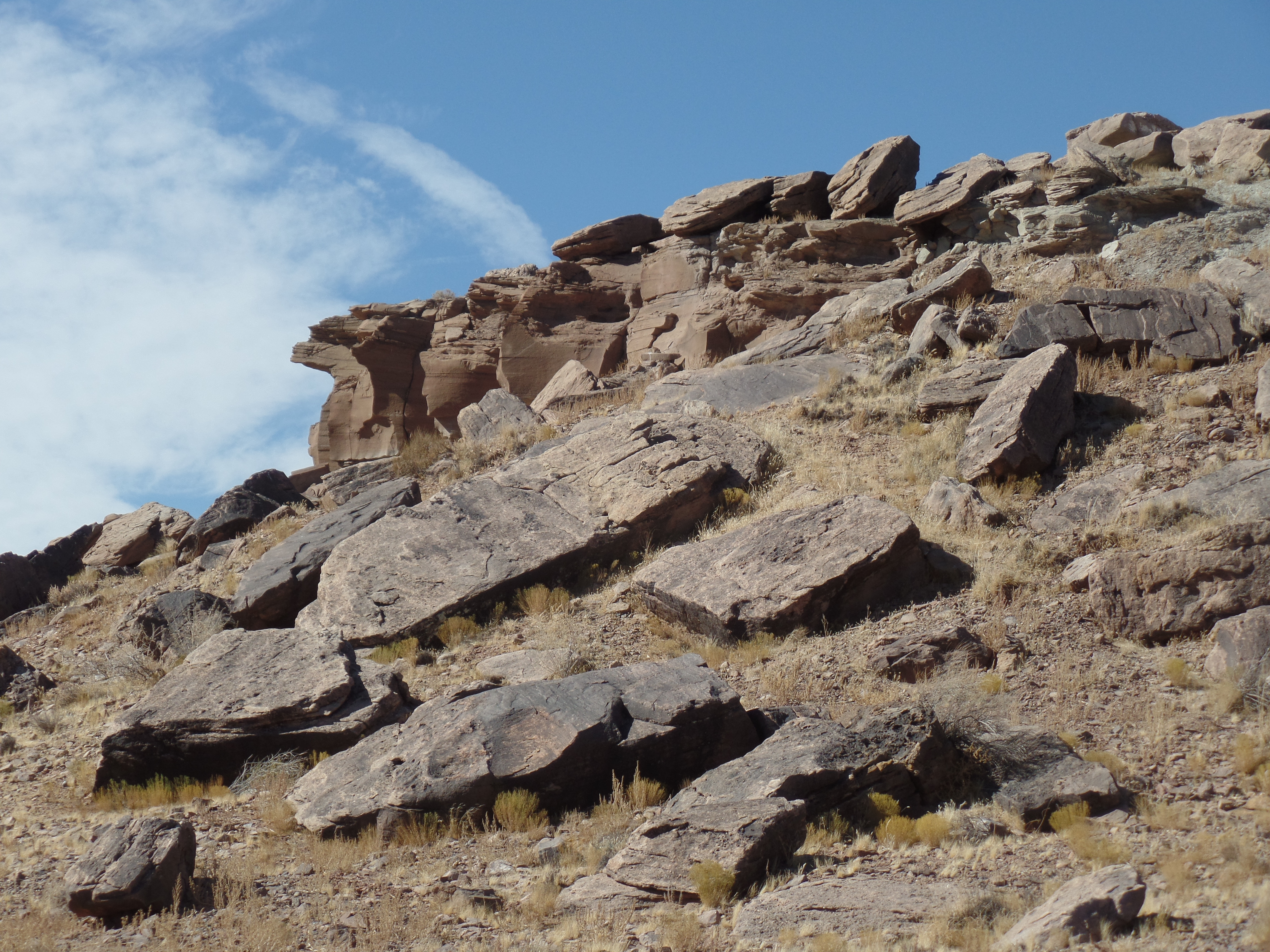
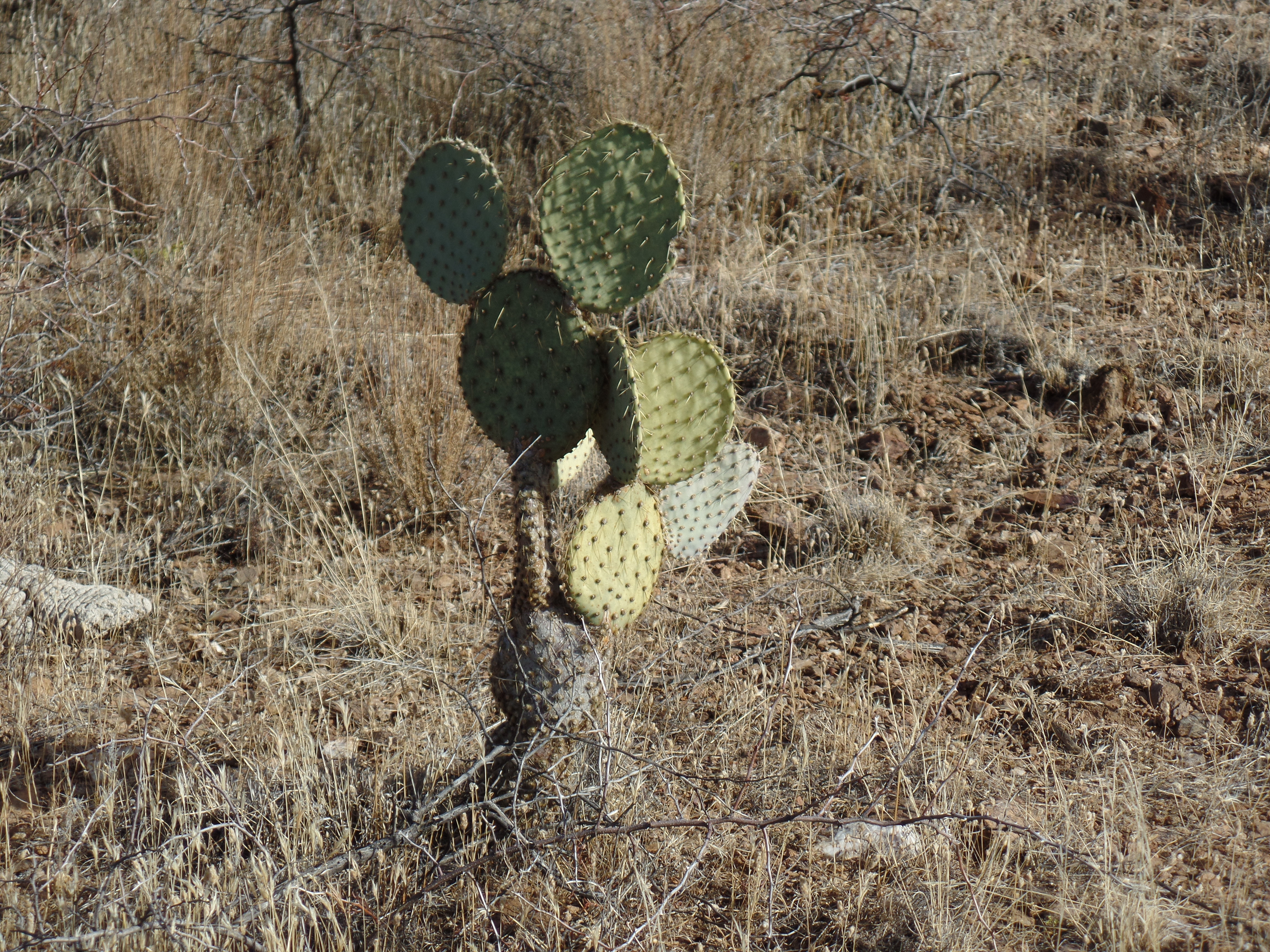
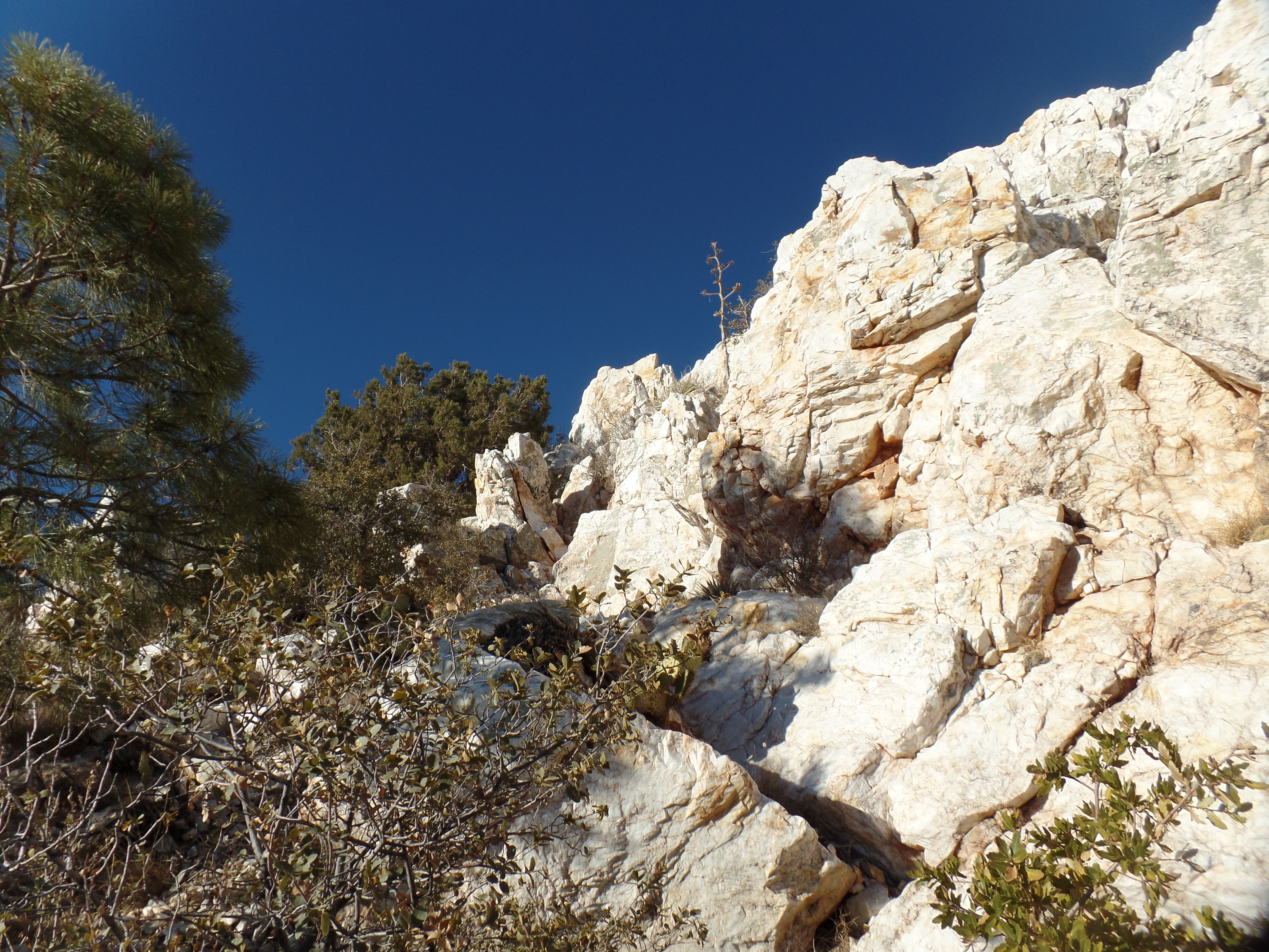
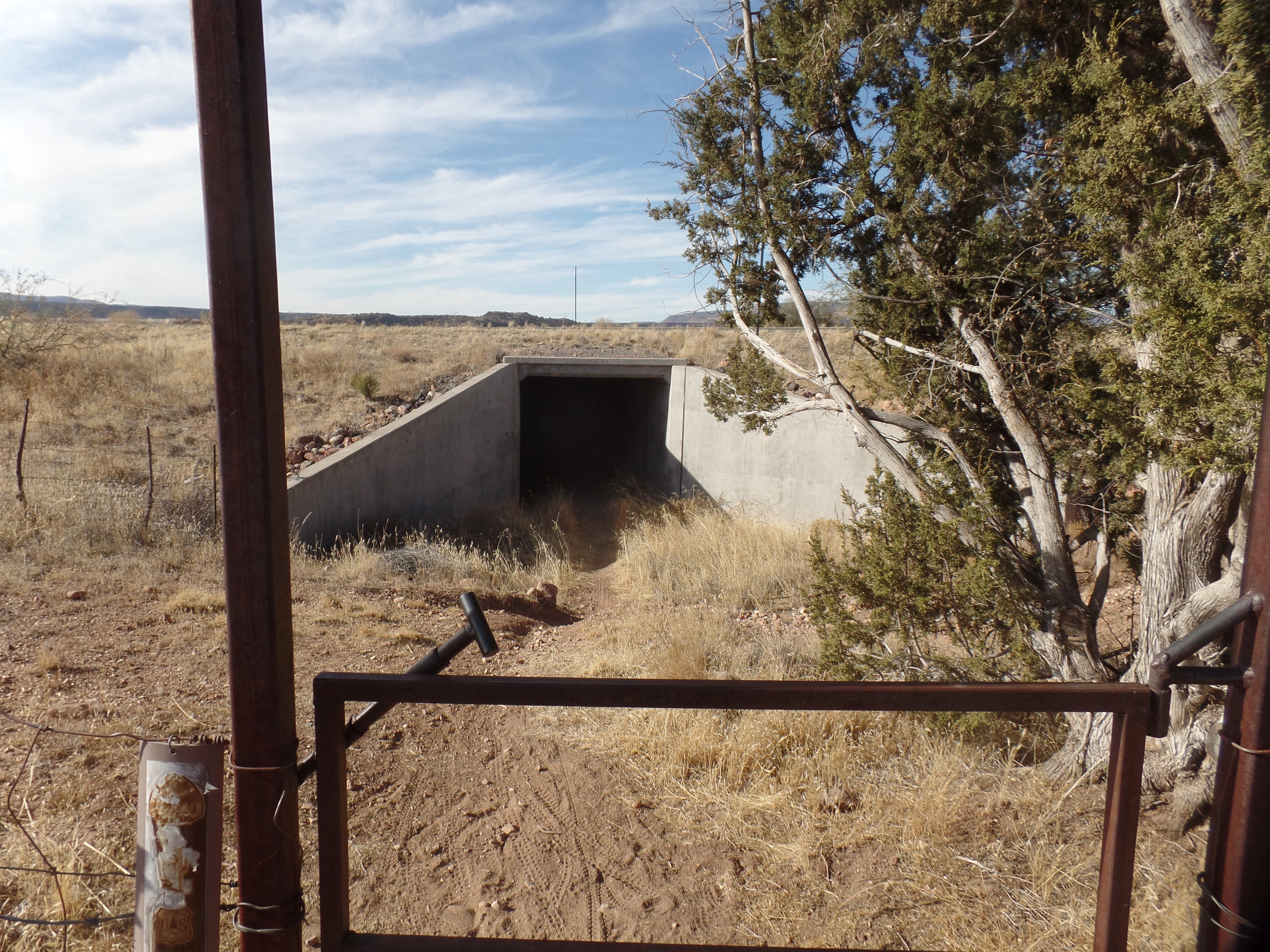
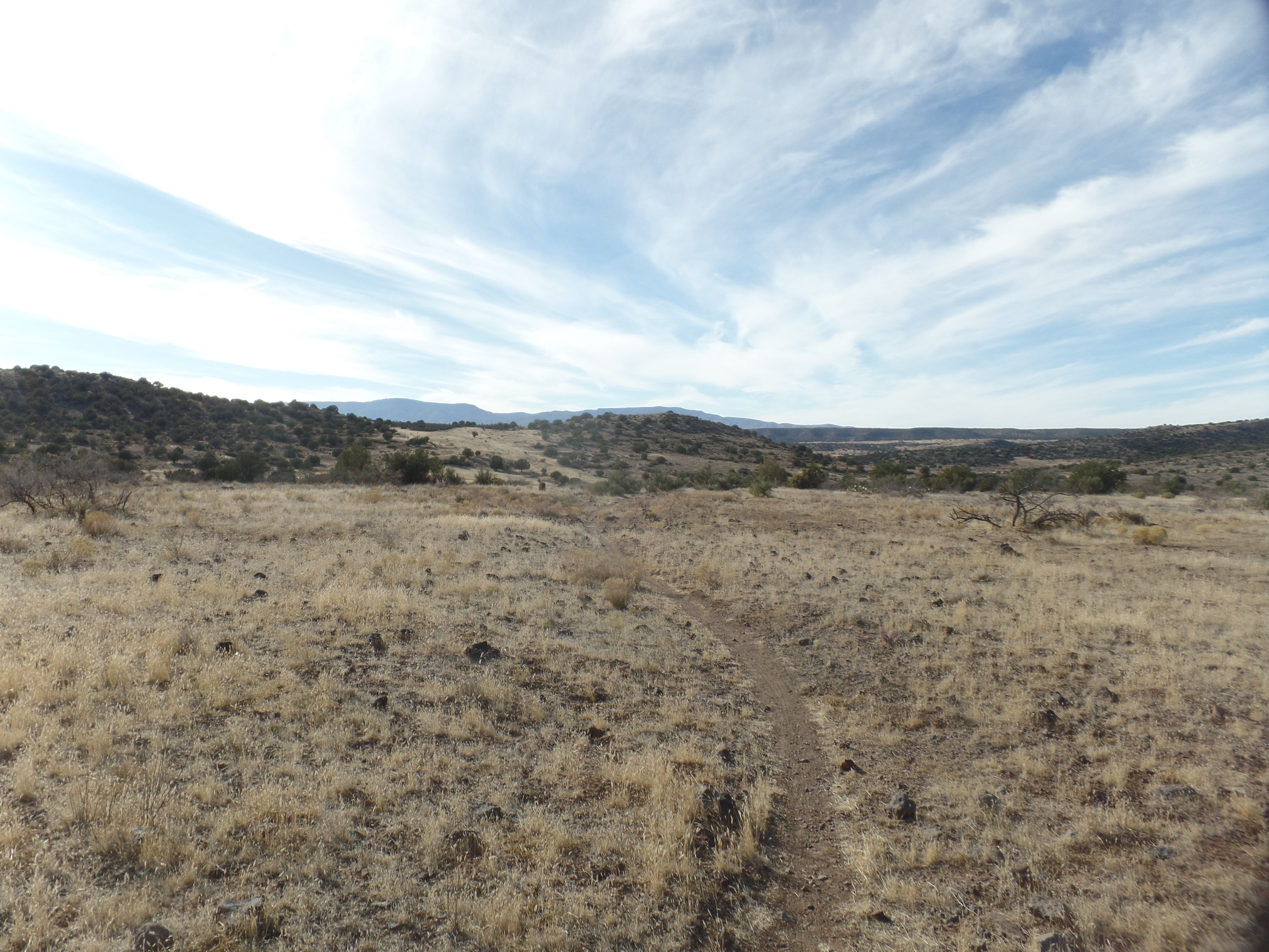
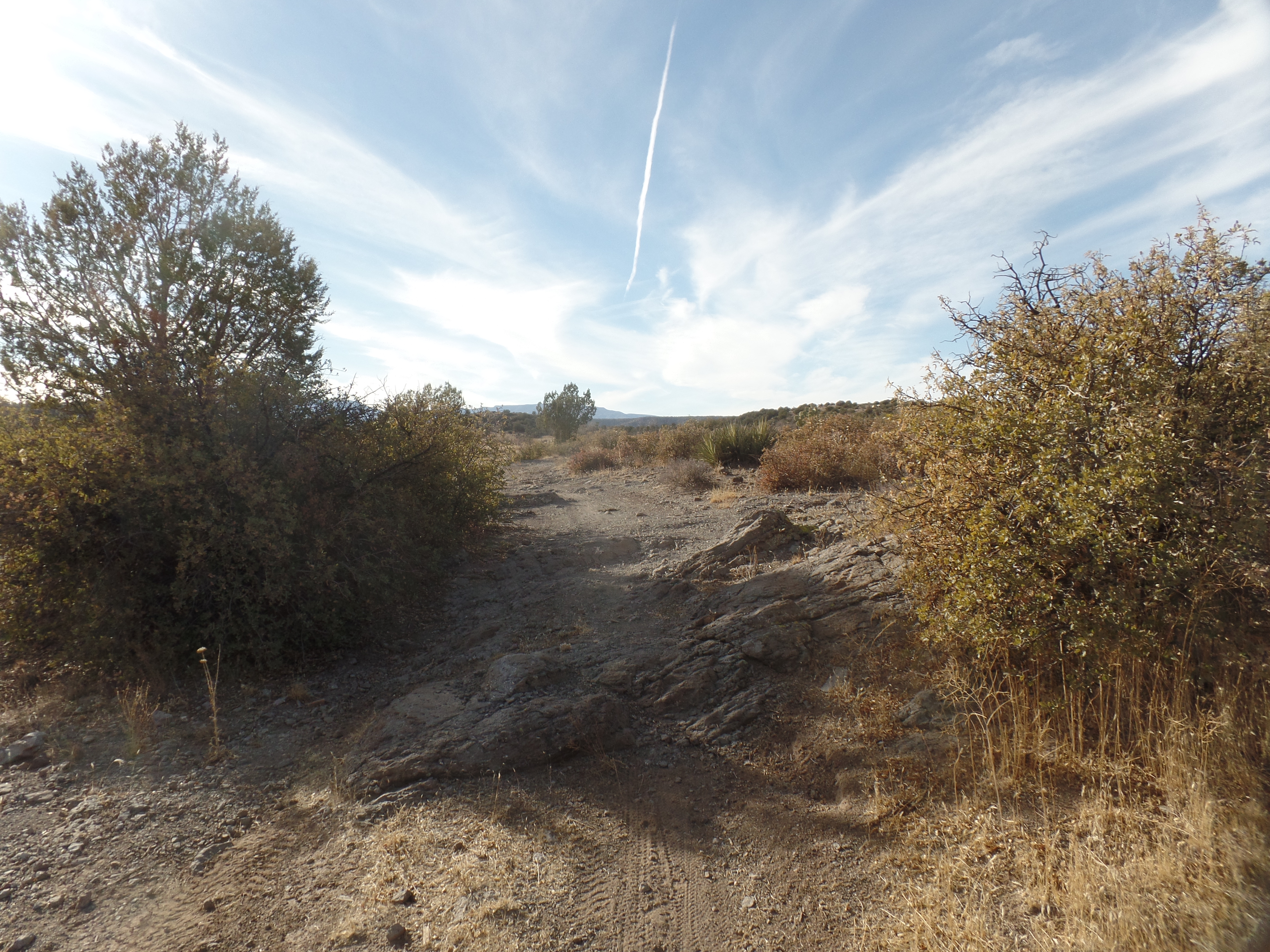
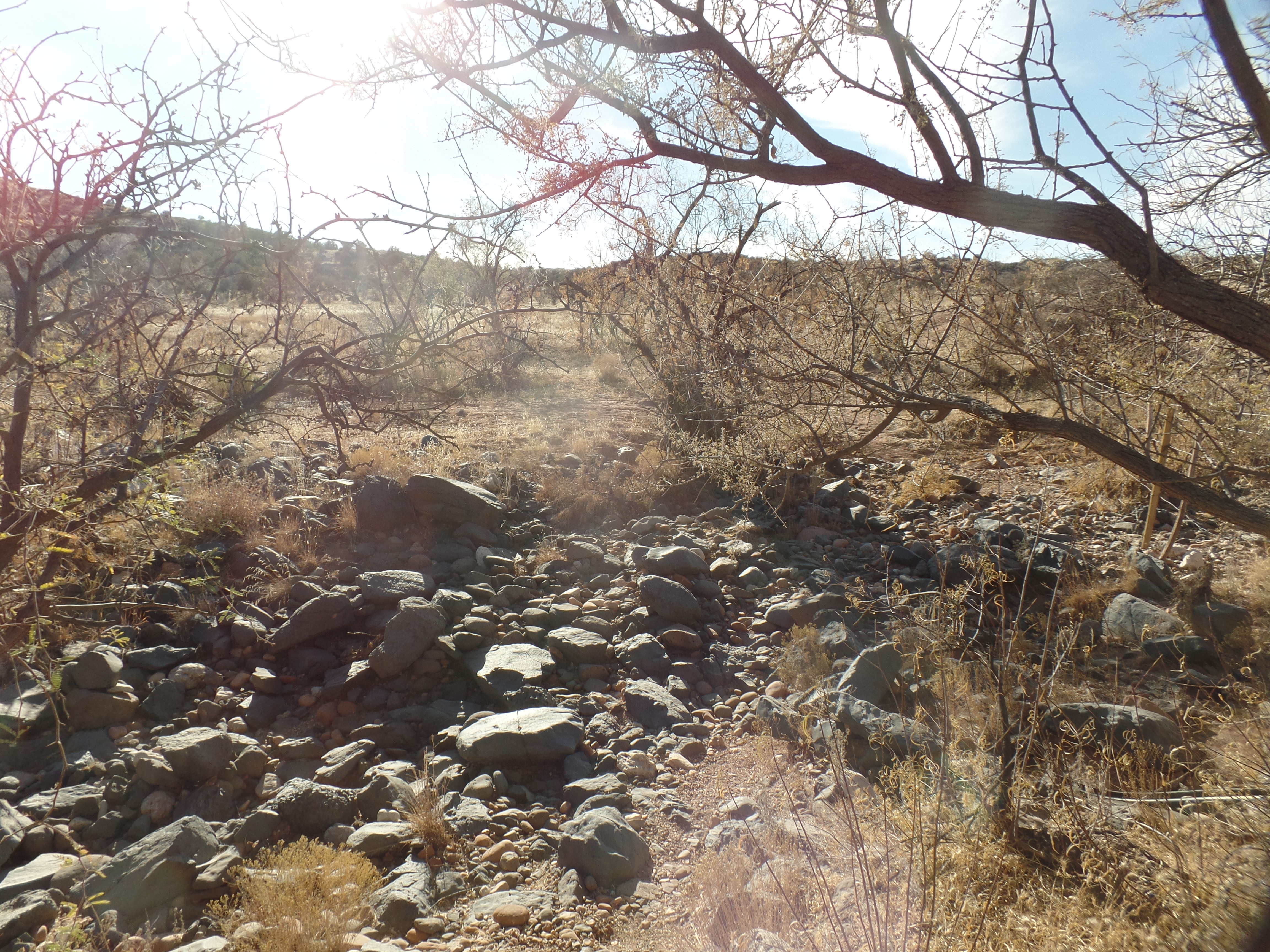
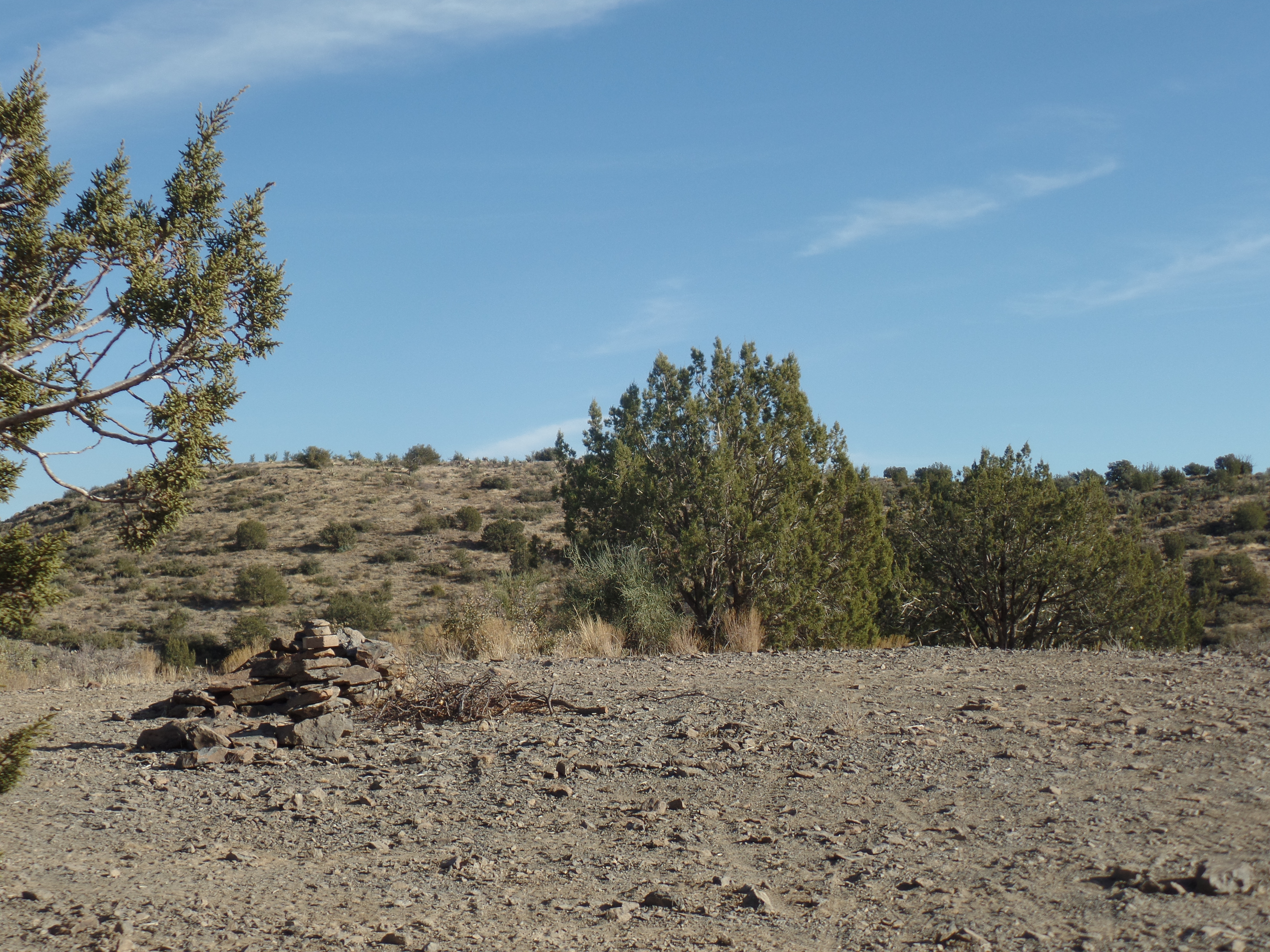
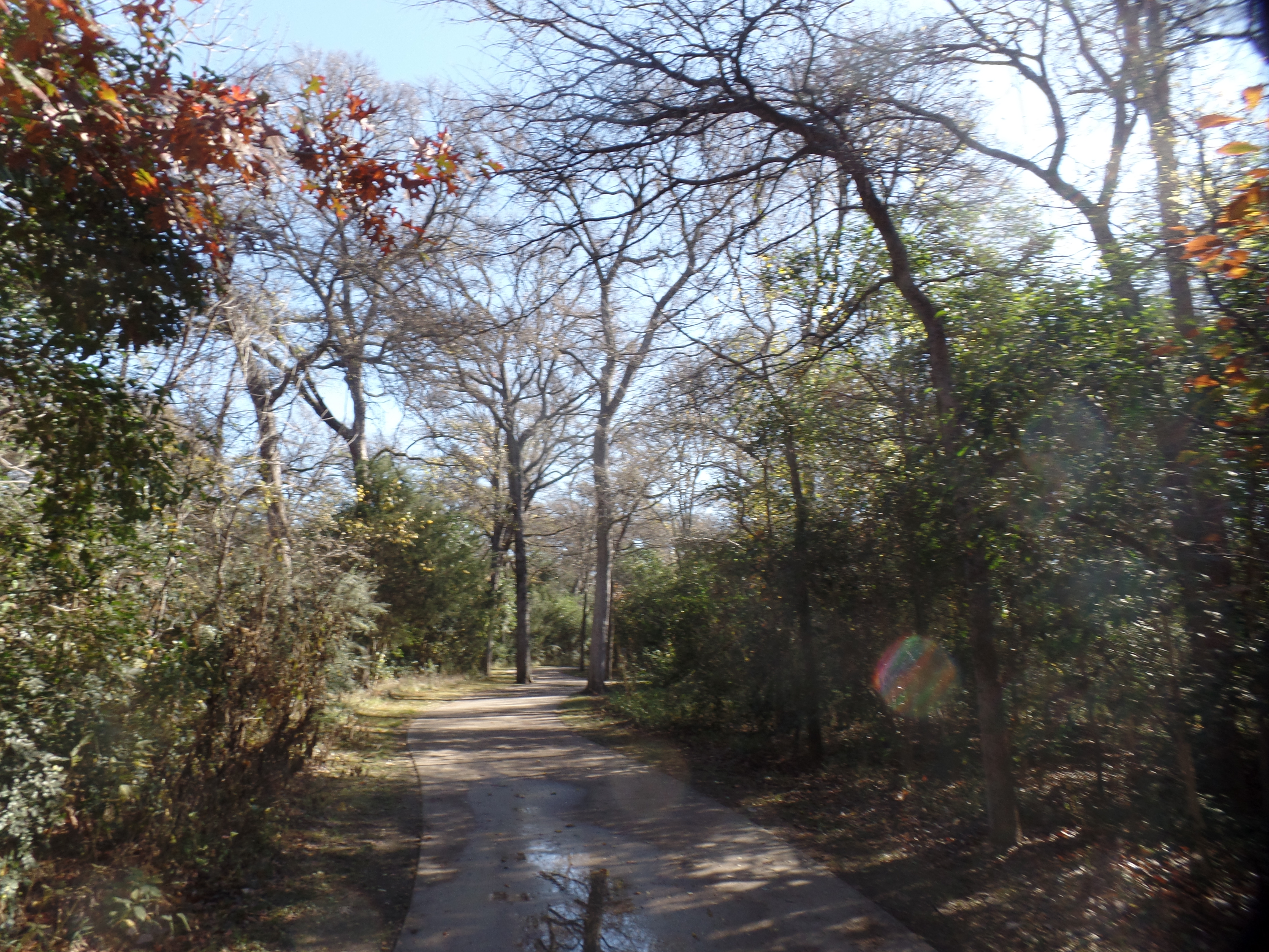
January– The agenda set by response to the pandemic will probably find me continuing to help out in the schools on a fair number of days. Involvement with a regional sustainability group will also be a priority. Then, there is a little group that meets each Wednesday at 1 p.m. (MST), and which has my heart’s attention. I will be on the trail, looking at a couple of extensions of Black Canyon Trail, northward from the original trailhead, outside Mayer; finishing Limekiln Trail, with the Sedona segments; and spending time in Scottsdale’s McDowell Mountain Desert Preserve. There is also the homefront downsizing: Paper-shredding and discarding of unnecessary belongings will begin this month and extend into next.

February- It’s likely that COVID-19 will factor into this month as well, in terms of being asked to help out in the schools. I already have agreed to a four-day stint, in mid-month. Hiking will take me to the Hualapai Mountains, of northwest Arizona and to Picketpost Mountain, outside Superior. Ayyam-i-Ha, the Baha’i Intercalary Days, will find me preparing hand-made gifts, for the first time since I made a bird house in Grade 8. These won’t be that elaborate, but will be done carefully, and from the heart.

March- It will have been ten years, since Penny passed on, March 5. I will invite other friends to join me at graveside, on that day. This is also the month of the Baha’i Nineteen Day Fast, and although I am no longer required ot abstain from food and drink during daylight hours, having reached the age of 70, my thoughts and actions will be in support of those who are abstaining. I will also make a road trip to Texas, in the middle of the month. Hiking will include a first visit to Phoenix’s South Mountain Park.

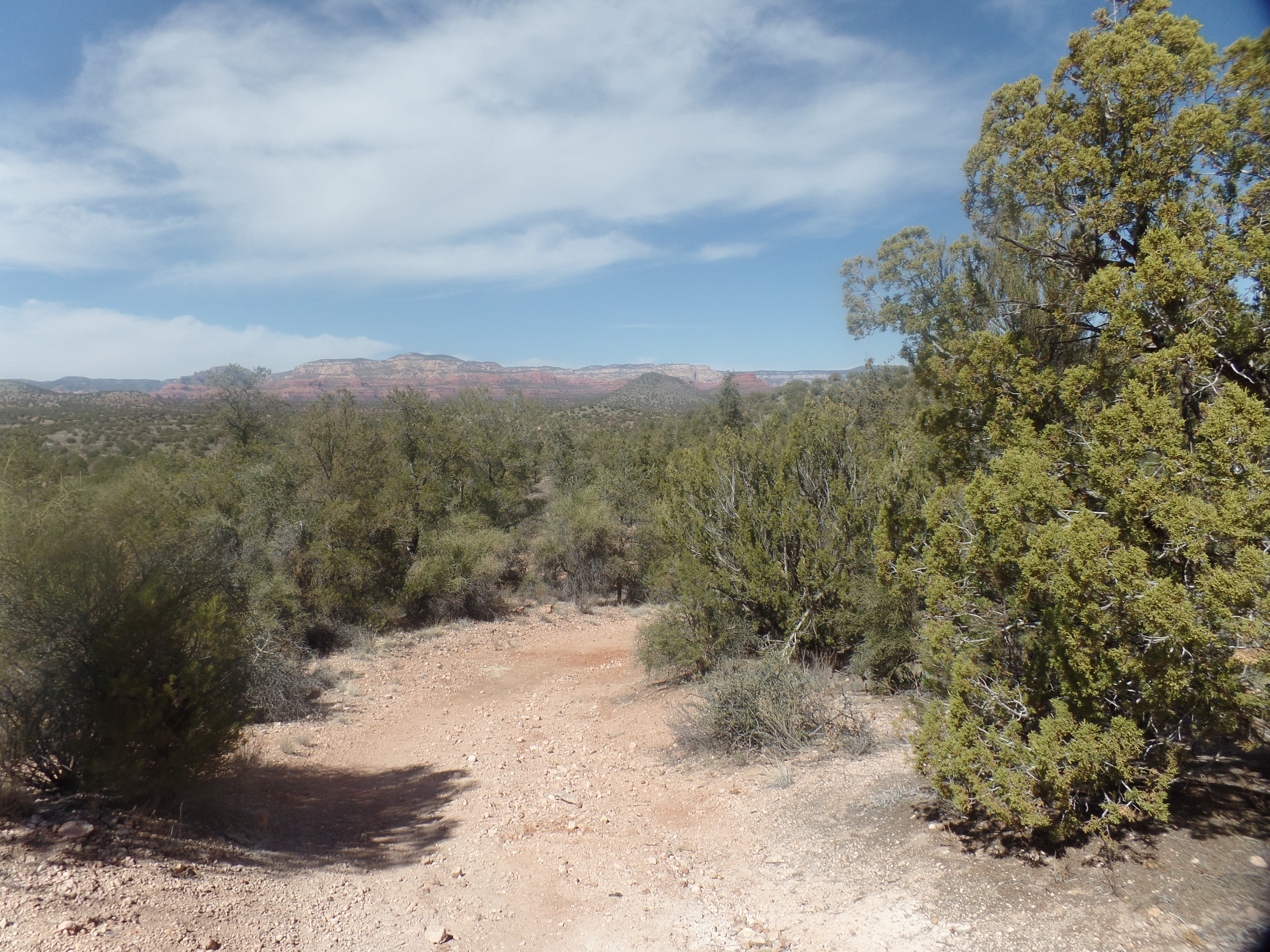
April- The Festival of Ridvan marks the twelve days of Baha’u’llah’s preparation for His second exile-from Baghdad to Istanbul (then called Constantinople) and His Declaration of Mission, during that twelve-day period. It also ends a Five-Year Plan we have been following, and begins a twelve-month celebration of the life of ‘Abdu’l-Baha, as November will mark the Centenary of His Ascension. Much of my activity, this month, will revolve around these events. Hiking will take in the Hermit’s Rest area of the Grand Canyon’s South Rim and parts of Sycamore Canyon, which runs south of Flagstaff and east of Sedona.

May- Preparations for the summer and autumn will occupy much of this month. Hopefully, New Mexico will re-open itself to us Arizonans, and I will spend a few days at Chaco Culture Historical Park. If California is open, and safe, by then, a visit to the coast will be in order,

June- If Bellemont Baha’i School is open for in-person groups, I will devote this month to that endeavour. If not, then I will make an early drive northwest-to my soul families in Nevada and Oregon, as well as to Vancouver Island, Haida Gwai’i (The one place Penny wanted to visit together, that has not happened yet) and British Columbia’s Sunshine Coast-north of the City of Vancouver.

July- The Plan B for June will fall into this month, if Bellemont is open. Otherwise, I will head east through Canada, and visit as many family members and friends, en route to and around Boston, as have time.

August– Atlantic Canada will take up part of this month, then it’s back southward and westward, again visiting family and friends along the way.

September and October– Take care of some necessary business in Arizona, spend quality time with Texas family and then off to Europe, with Iceland a first stop. This journey will also be oriented towards the ancestral home of my mother’s family, in what is now western Poland, with other stops in Germany, Czech Republic, Croatia, Romania, northern Italy and France. A few stops in the British Isles are also possible.

November- This month will be devoted to specific community and regional celebrations, in Arizona, of Abdu’l-Baha’s life.

December- This will be whatever my family wants it to be.

These plans are what my meditations have told me, as of today. Recalling that last January, I was fully intending to do a cross-Canada journey in the summer, I will simply accomplish as much as reality on the ground allows.

May all have a Happier 2021!

The Christmas Star

2

December 21, 2020-

Today being the start of winter, north of the Equator, we look to the days getting longer-a minute at a time. The entire planet also has the bonus of seeing Jupiter and Saturn, still discernable as separate planets, but close enough to one another to complement one another’s light, from this Earthly naked eye’s vantage point. Legend has it that the three Magi regarded the convergence of the two planets, in the night sky of 2020 years ago, as sign of great portent, thus giving rise to the term “Christmas Star”.

I will take anything that lifts people’s spirits, and besides, there are no mistakes in God’s Plan, which includes the orbits of planets around stars. It is no concidence that we honour Jesus the Christ’s arrival in this world, right around the time of Solstice and that the convergence of these two planetary giants in the evening sky should happen right about now, as well. Christmas is rightfully a celebration of Light, as was Hanukkah, earlier this month, and Diwali, in mid-November.

I spent the afternoon of Solstice outside, visiting Prescott’s unsung treasure. Covered in quartz crystal, and thus named Quartz Mountain, the peak of modest height is reachable from either of two trailheads-Aspen Creek, on the north and White Spar, on the south. I took Copper Basin Road to Aspen Creek trailhead, and hiked the three miles each way.

Quartz Mountain, from the Wolverton Trail

I had been here once before. On that Sunday afternoon, four years ago, a family of four was gathering pieces of quartz. I was told by a Forest Service ranger, after the fact, that this was illegal. Since it occurred to me to not remove quartz, myself, well enough was left alone, that day and today. It was enough for me to be in this inspiring setting, during a bright and mild Solstice afternoon.

There was a fair amount of company, in the area today. On the way to the trailhead, I stopped as a family of five deer crossed the highway, single file. The last animal hesitated, then crossed after apparently getting my message that it was safe. On the trail itself were five bicyclists and six hikers, though none were at Quartz Mountain at the same time as me.

So, there was solitude, enveloped by fellowship, as so often has been my experience on these trails.

West face of Quartz Mountain summit

I got back to the car, just as it was starting to get dark. After dinner at the Raven Cafe, I went back to Home Base, in time to catch the two points of light that made up the Christmas Star. Sorry, my camera does not take detailed photos of distant orbs.

Limekiln Trail, Section 3

2

December 8, 2020- At long last, I got myself on track and found the trailhead from which one may walk from the far western edge of Sedona to the northern edge of Cottonwood, a distance of five miles via Limekiln Trail. It was not a particularly chanllenging trail, though I felt the effects of being housebound and Zoom-bound, for much of the past eight months. A series of 30-minute workouts at Planet Fitness keep me in a modicum of shape, but it will take the rigours of the trail, even a fairly flat trail like the Deer Pass-Bill Grey segment, to get back into a semblance of “fighting trim”.

A rumour reached me that I was likely in the presence of a COVID-positive person, last week. It happens, though, that this individual was nowhere near the school, during the days I was working there, so once again, no worries. People are so worn down, so exaperated by the pandemic, that they will often take anything they hear, and run with it, whilst inwardly trembling. I ask one and all, to step back and breathe-We will beat this challenge, by adhering to common sense rules of hygiene, and ,more importantly, of wellness.

Now, back to the trail-

Here is the eastern end of the segment, at Deer Pass. A discerning eye might notice a human face or two, in the midst of the cairn .
In order to access the trail to the west, one must use this underpass, under Highway 89 A.

The handles to the gates, on this segment, are diagonal, and after wiggling the handle out, it is then necessary to either lift the gate up, or push it down, in order to secure it again.

Most of the trail is single track, like this, though some of the hike involved walking on US Forest Service roads.
One of the Forest Service roads that serve as connectors.
Igneous rock, deposited by volcanic eruptions, further afield, hundreds of thousands of years ago, make the long hike through the Sheepshead Mountain/Canyon sector, all the more fascinating.
This is the remnant of what was likely a miner’s camp, atop Sheepshead Mountain.
This is another marker of a miner’s camp, also long-abandoned.
Here is the top of Sheepshead Mountain’s west ridge. The summit, east of the trail, is fairly lush.
Sage brush has its own fall colours, which arrive on the scene when deciduous trees have long since turned a ghastly gray.
So, too, does Prickly Pear Cactus, especially at higher elevations, offer its fall colours.
Crossings of dry creekbeds and washes abound on this sector of the trail. There are Spring Creek, Sheepshead Creek-and Coffee Creek, which was also a favoured gathering place for miners, in the early Twentieth Century.

So, a long-standing itch in my saddle got scratched. I re-found the junction of Limekiln and Bill Grey Road, which had gotten lost in my mind, for several months.

Bill Grey Road, at its junction with Limekiln Trail.

The remaining sector of Limekiln runs from Deer Pass to Red Rock State Park, further in towards Sedona. It is a distance of seven miles, one way, so I would likely either start early in the morning or would camp overnight at Red Rock. Either way, it’s likely to wait for March or April, with a smidgen more daylight. There are a few other trails in our area that await, and which present shorter distances, out and back.

Grapevine Magic

2

November 29, 2020, Plano

Seven weeks from now, Texas Home Base will shift, from this sprawling corporate headquarters town to the mid-19th Century agricultural hub of Grapevine. Of course, Arizona Home base will remain primary, but little family is here-for some holiday and milestone celebrations.

Grapevine was founded in 1844, near the site of a village of Caddo people, known as Tah-wa-Karro, after the wild grapes that grew there. Despite the name, Grapevine’s mainstays were cotton, then cantaloupes. Its produce, and place on the main route from Dallas to Fort Worth, have drawn a railroad station and Dallas-Fort Worth International Airport, for which Grapevine has the north entrance.

Grapevine has also marketed iself as “Texas’s Christmas City”, so on our visit yesterday, we spotted many holiday decorations and displays. Then, too, there are several parks, for outdoor activities in the short-grass pririe setting. We also spent some time at Meadowmere Park, in Grapevine and at Bob Jones Park, in nearby Southlake.

Here are some scenes of downtown Grapevine and of Bob Jones Park.

Main Street, Grapevine-with a rail station waiting room
Flying Unicorn, Main Street, Grapevine
Christmas Greetings, Main Street, Grapevine
Grapevine City Hall
Fishing Pond, Bob Jones Park, Southlake, TX
Christmas display, near restored log cabin, downtown Grapevine

The Grapevine area has many other sights and treasures, which will be part of the anchor, in the coming years.

Forging Ahead

0

November 25,2020, Plano-

On a fine and comfortable late November morning, it’s a nice touch to hit the trail, even if the trail in question happens to be paved. So it was that the three of us headed over to Spring Creek Recreation Area, in neighbouring Richardson.

November, in the northern hemisphere, is something of a shoulder month, with leaves having mostly fallen (the cottonwoods of the Southwest, in their golden glory, are an exception). Nonetheless, Nature is healing, sustaining, even in its time of faded glory.

So it was, this morning, at Spring Creek.

This ramp leads down onto the trail.
Most of the trail is flat. This is, after all, a forest situated in a prairie.
Spring Creek, a small stream, is muddy in times of low precipitation.

There were relatively few people on the trail with us. A family of five, with a mildly mischievous adolescent boy teasing his older sister, and a couple of loud younger boys from another family, punctuated an otherwise quiet, self-absorbed coterie of joggers and T’ai-Chi practitioners, who wanted nothing but privacy.

Returning back to Plano Home, Yunhee treated Aram and me to freshly- made bowls of bibimbap, a Korean dish in which is placed rice, ground meat, leafy greens, shredded carrots, mushrooms and, if one wishes, either hard-boiled or over-easy egg in an individual bowl. The diner mixes the ingredients to own satisfaction. Often, the ceramic bowl is heated, so that a raw egg will cook as it is mixed with the other contents. Today, though, all was cooked in advance. It was, nonetheless, delectable-along with her home-made kimchi and seasoned dried minnows.

Bibimbap

As will be occasional, throughout this week’s visit, I felt it proper to join a couple of Zoom calls. One was with a small group of kindred spirits, in a guided meditation. The other, celebrating the life of ‘Abdu’l-Baha, was based in Prescott. Today is observed as the Day of the Covenant, which was the wish of ‘Abdu’l-Baha for those who expressed a desire to celebrate His birthday. As He was born on the very day that al-Bab proclaimed His Mission to humanity, ‘Abdu’l-Baha randomly selected this day (November 25 or 26, depending on the lunar calendar) as a day during which Baha’is could celebrate His life, and Baha’u’llah’s Covenant with His followers.

As it happens, November 28, 1921 was the day on which ‘Abdu’l-Baha ascended to the Spiritual Realm. Thus, in a short span of days, we honour His life and commemorate His passing. Next year, as you might imagine, our focus will be on that extraordinary life and legacy.

So it is, that the governing body of the Baha’i Faith, the Universal House of Justice, has given us a rough outline of the decade ahead- a One -Year Plan, focusing on the above-mentioned life and legacy of ‘Abdu’l-Baha, and a subsequent nine years of helping to build a more sustainable and peace-focused society. So it is, that we forge ahead.