December 10,2025- In the Fall of 1979, a co-worker at Villa School, in Eloy, had a vehicle and wanted someone to go with her to Oak Creek Canyon and Sedona. My hand went up, as I was actively visiting as much of Arizona as I could on weekends, without the benefit of owning my own vehicle. So, northward we went, first to Flagstaff’s Fort Tuthill (fairgrounds), then down along U.S. 89, stopping next at an overlook and purchasing a few items of Dineh jewelry. (She, for herself and I, for another co-worker, whose birthday was approaching).
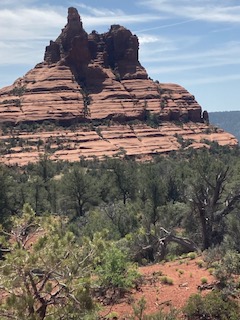
Then, the magic started to unfold-a riotous blend of colours: Blue sky, green trees and grass and red rocks presented their unique co-existence all along the windy canyon road, carved long ago, by Oak Creek. The creek itself served up a hearty torrent, at Slide Rock, which hosted a popular Arizona State Park. We looked for a bit at the happy families, kids squealing in delight and teen boys on the ledge above, daring one another to jump off into the creek. (None did, given that their fathers were close by, wielding veto power). We soon went on, down towards Sedona, creeping along behind a bicyclist, who was half arrogantly occupying the center of the lane and half scared to death that his brakes might fail. The slow pace only amplified the majesty of the place. We took in Cathedral Rock, Courthouse Butte and Bell Rock, all from their bases. I was an avid hiker, but my co-worker was not. I made a mental note to return to each of these, and explore further.
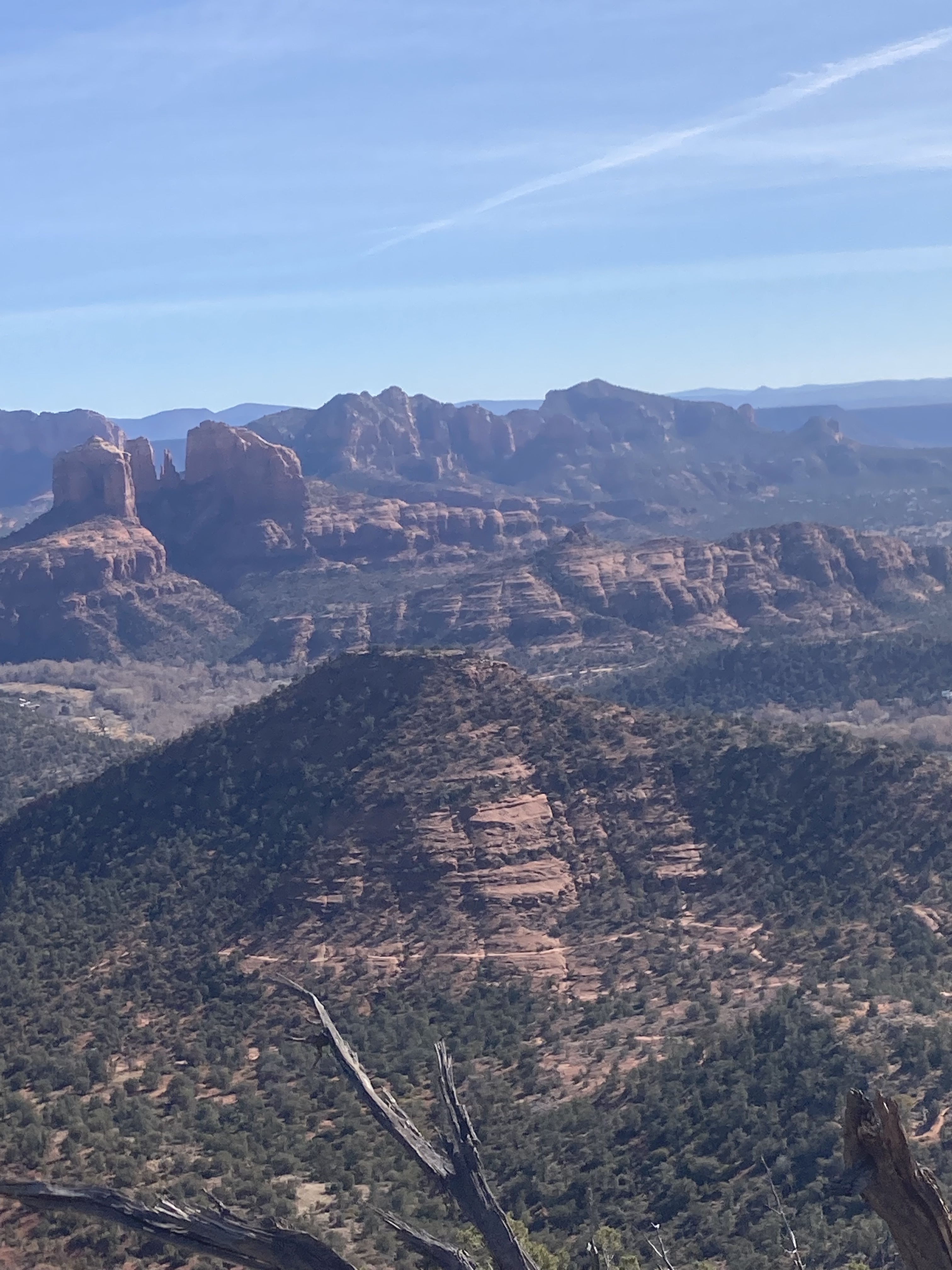
Over the years, Sedona has been a regular destination-either alone, or when accompanied by Penny, by our son, Aram, by his wife, Yunhee, by members of the NAU Hiking Club or, most recently, by my present Hiking Buddy, Akuura, the area has not once failed to present the most majestic of views. Those views change with the position of the Sun. Light and shadow are everything in the Southwest, and nowhere more so than in this most wondrous of places, where canyon meets mountain.
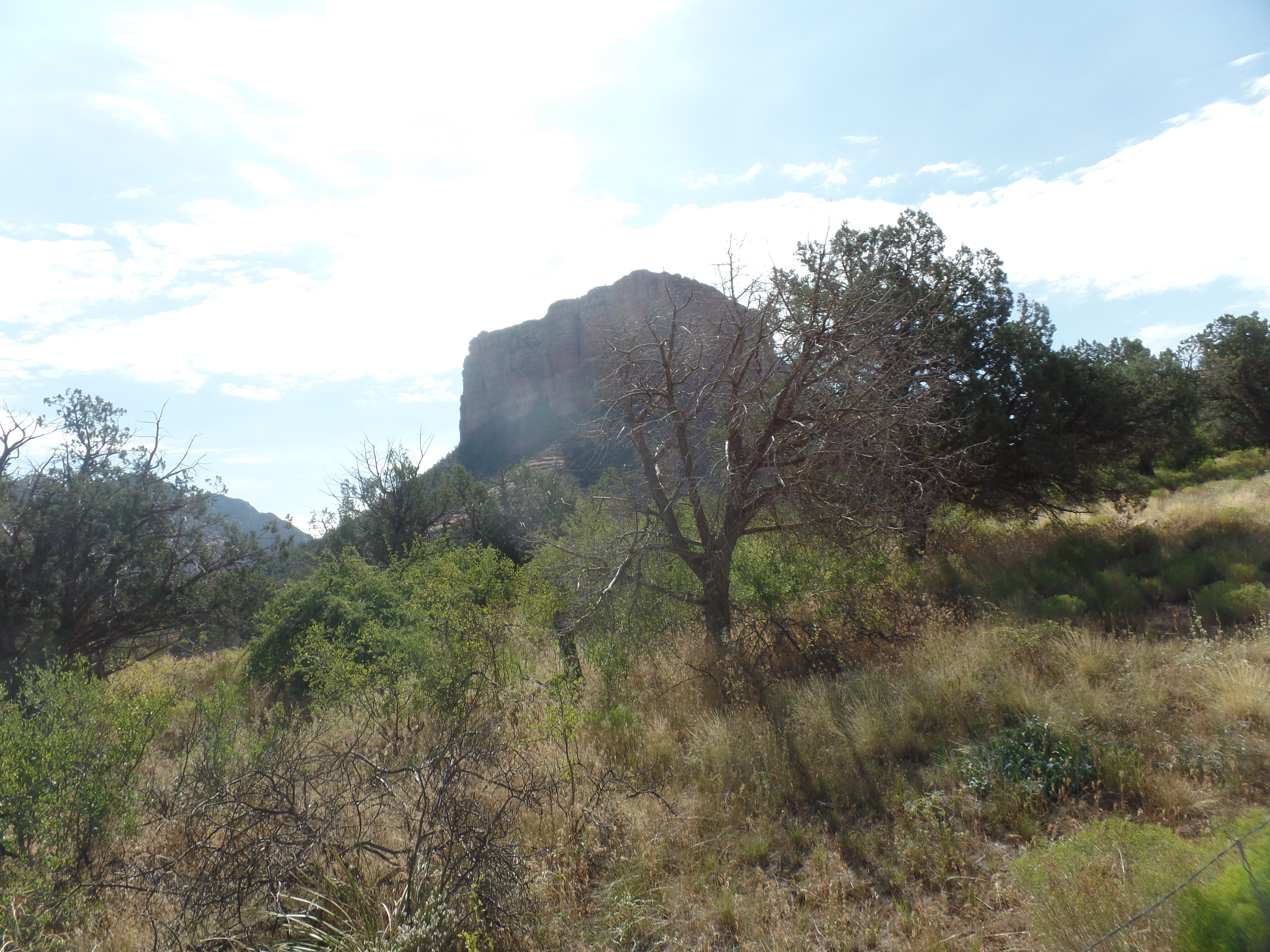
Akuura and I took in Red Rock State Park, for one final excursion, before I devote myself full tilt to dispersing many possessions and packing up the rest. It was an exquisite day, weather-wise, and so we took in Eagle’s Nest and Javelina Overlook-and several points along the way.
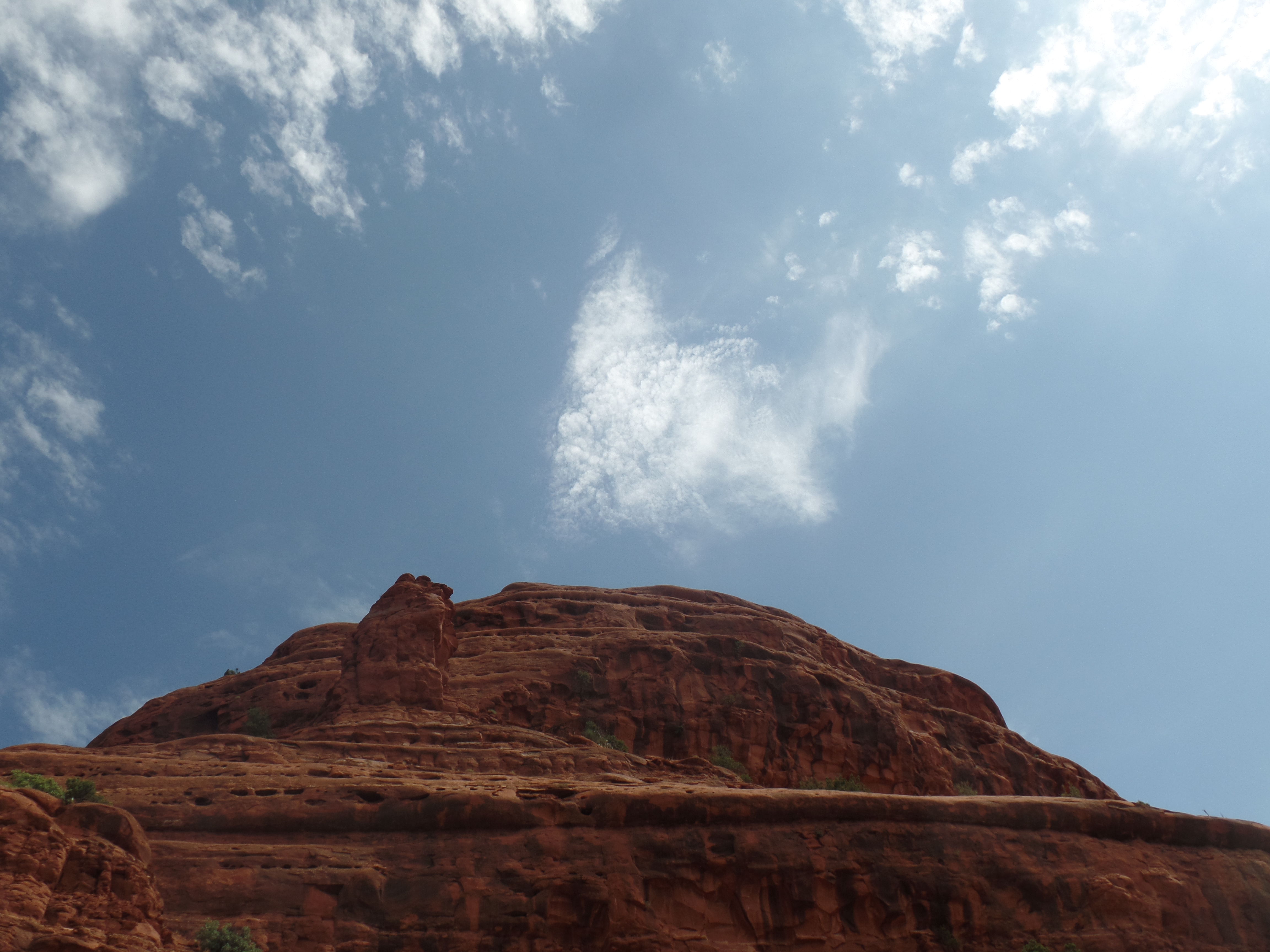
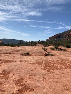
The blue and green were gearing up; the red a bit subdued, yet, at the base of Eagle’s Nest Trail.
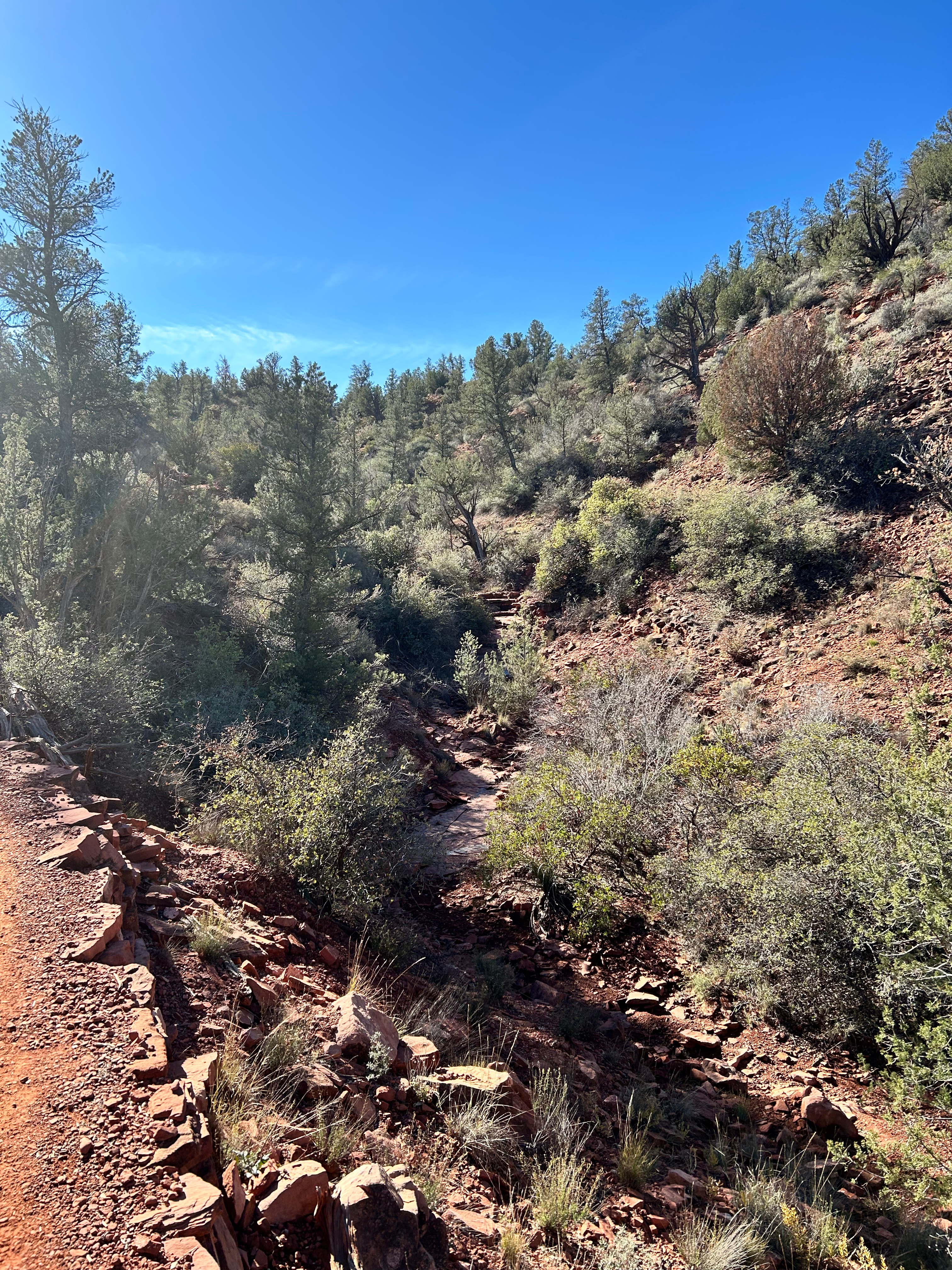
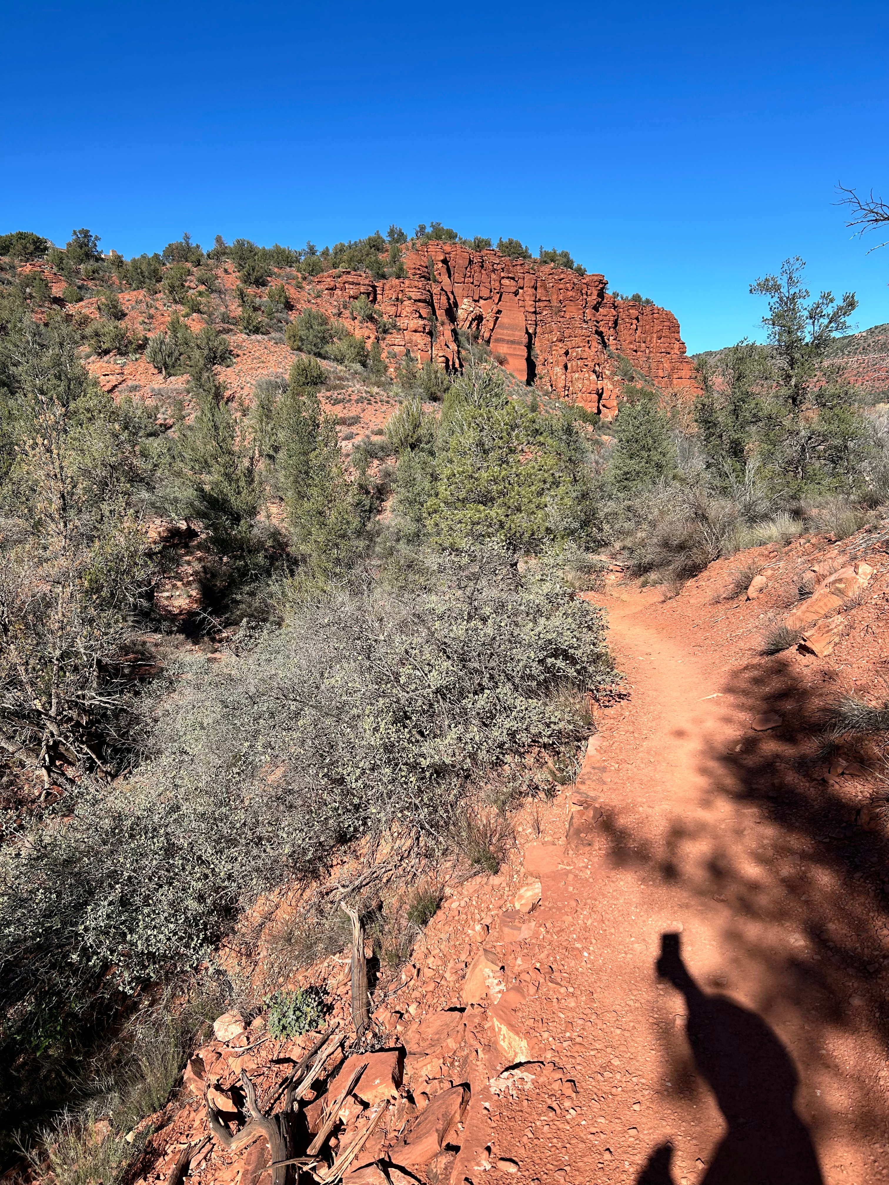
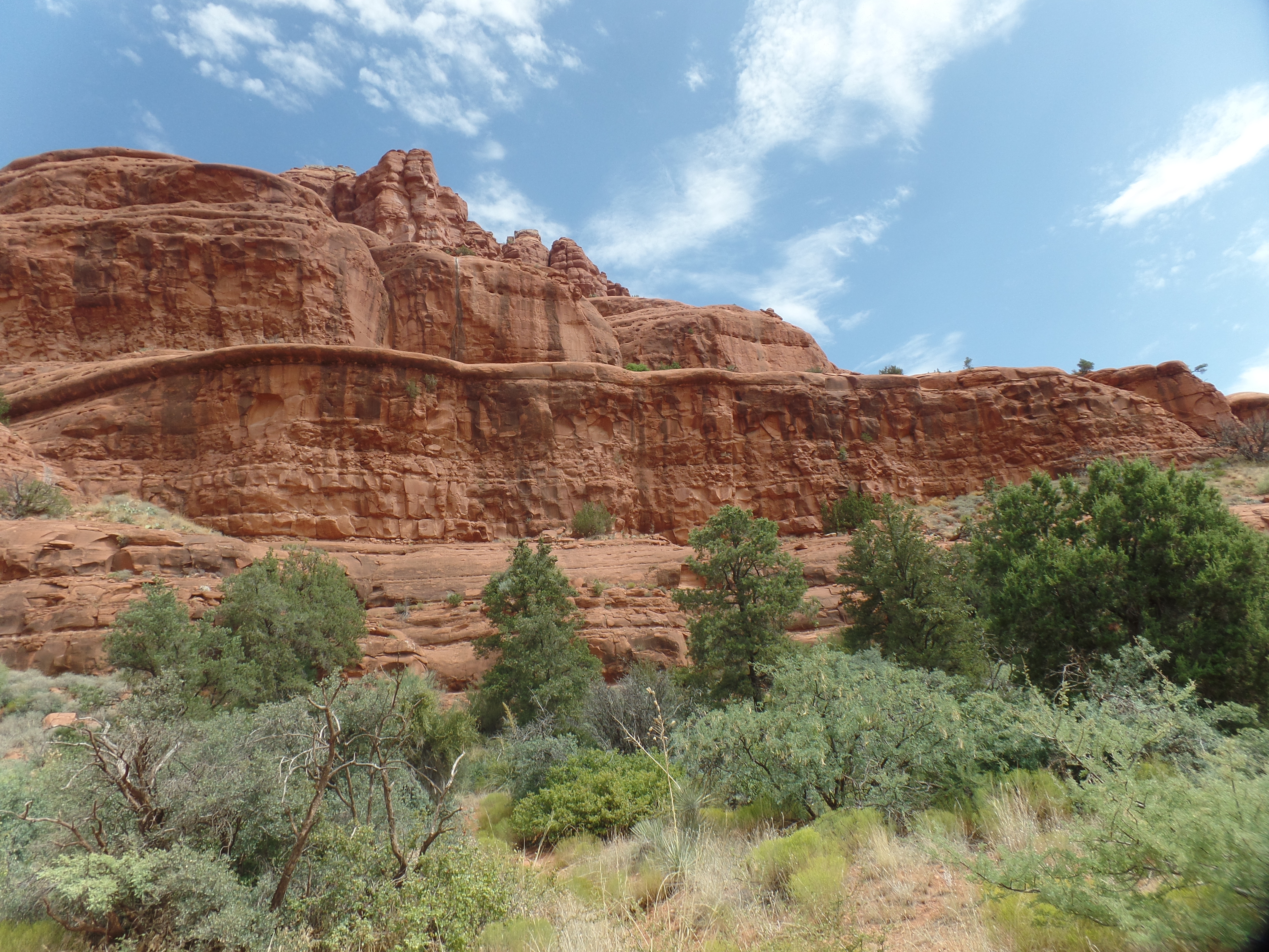
The hues deepened, though, as my shadow and I walked towards the switchbacks that led to the overlook.

It may not look treacherous, but the sign is quite accurate.
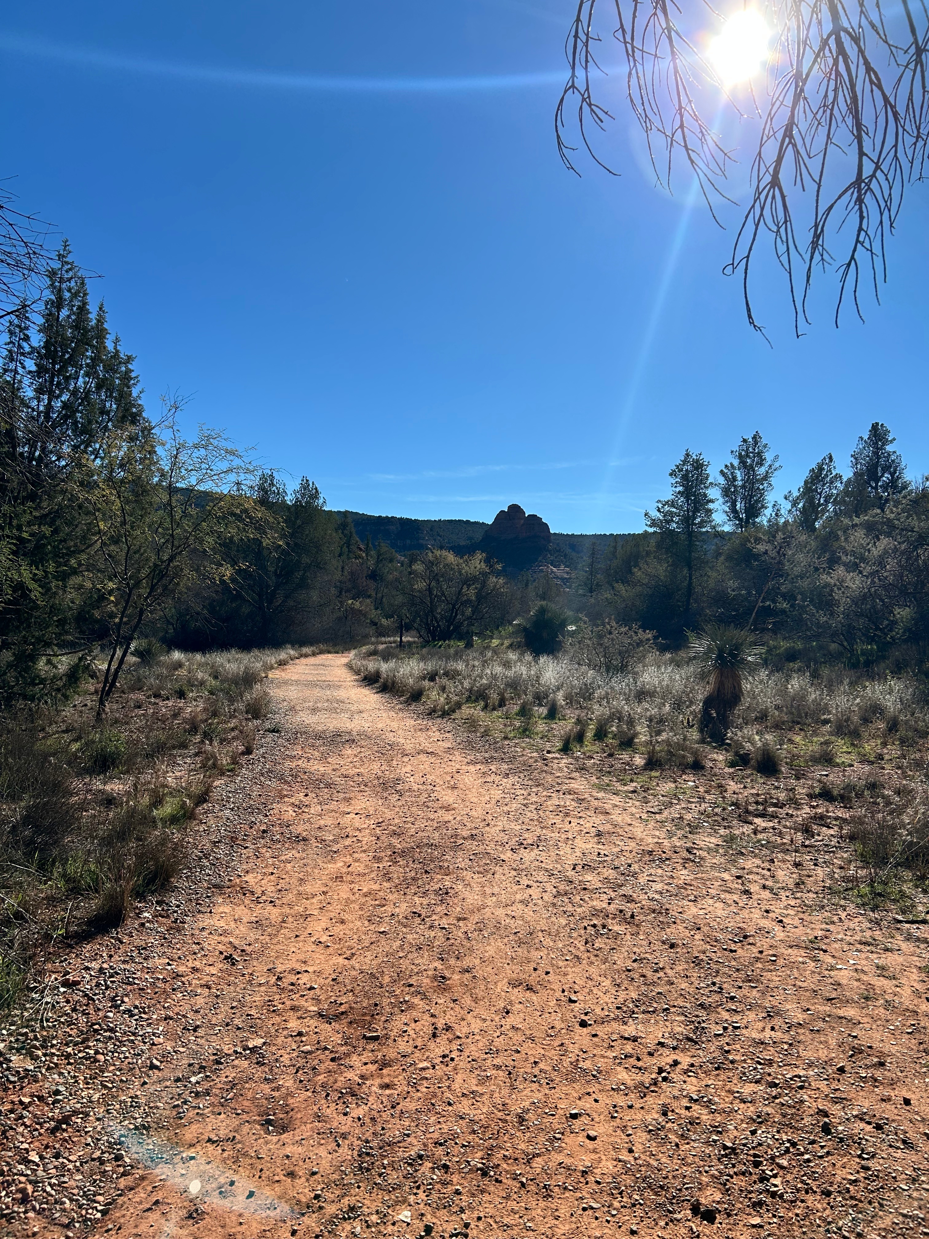
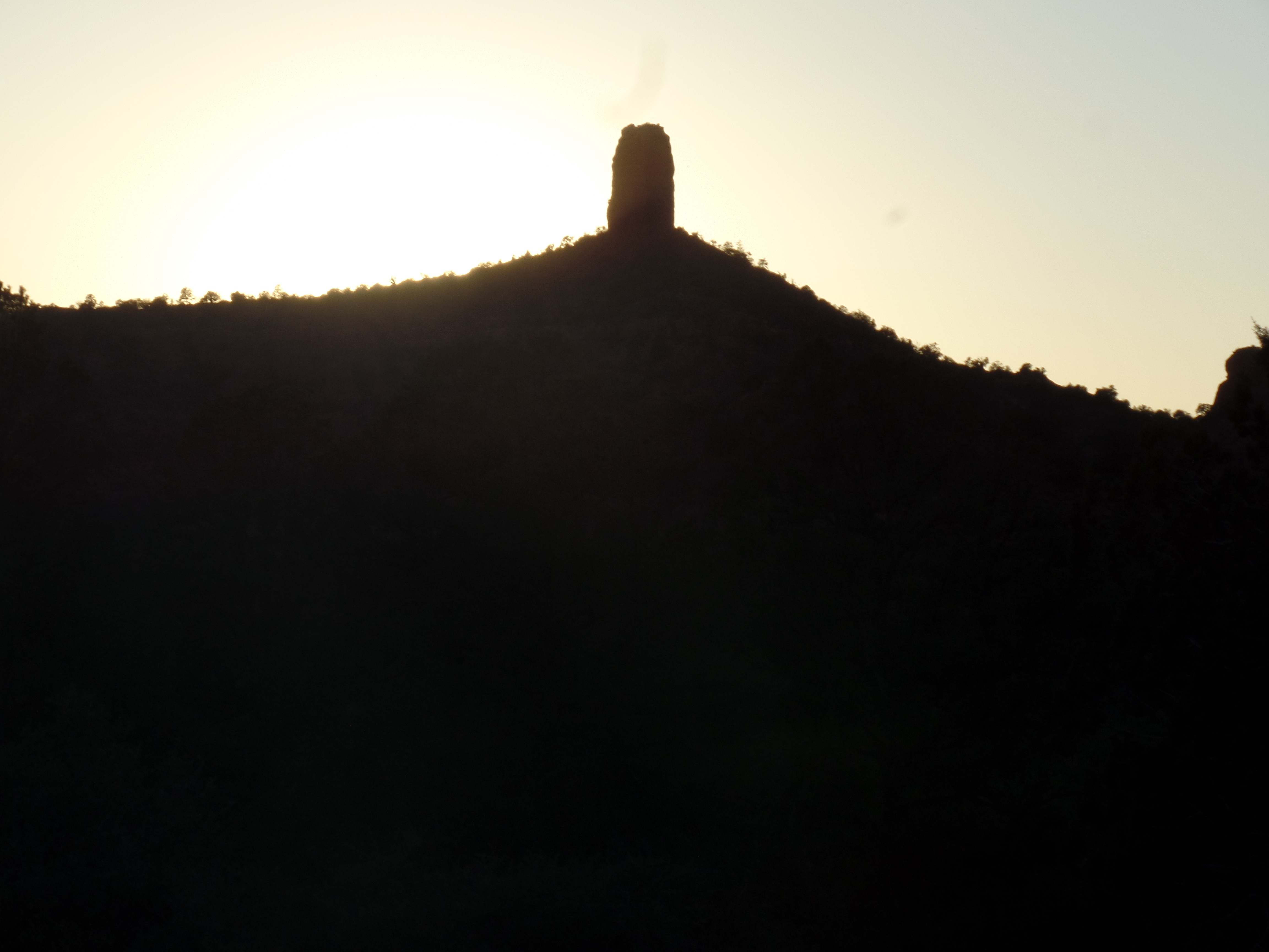
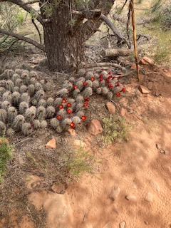
The first phase of Javelina Trail passes by an area where several mule deer were grazing and another area, where a lone javelina was moving away from a small assembled group of bird watchers/deer oglers. We would encounter the deer again, towards the end of our hike, but that was the last we saw of the boar. This magnificent little spire could be called Love Rock, for all I know, but it is a standalone outcropping, along the flat trail, just before Apache Fire Loop rises off to the right.
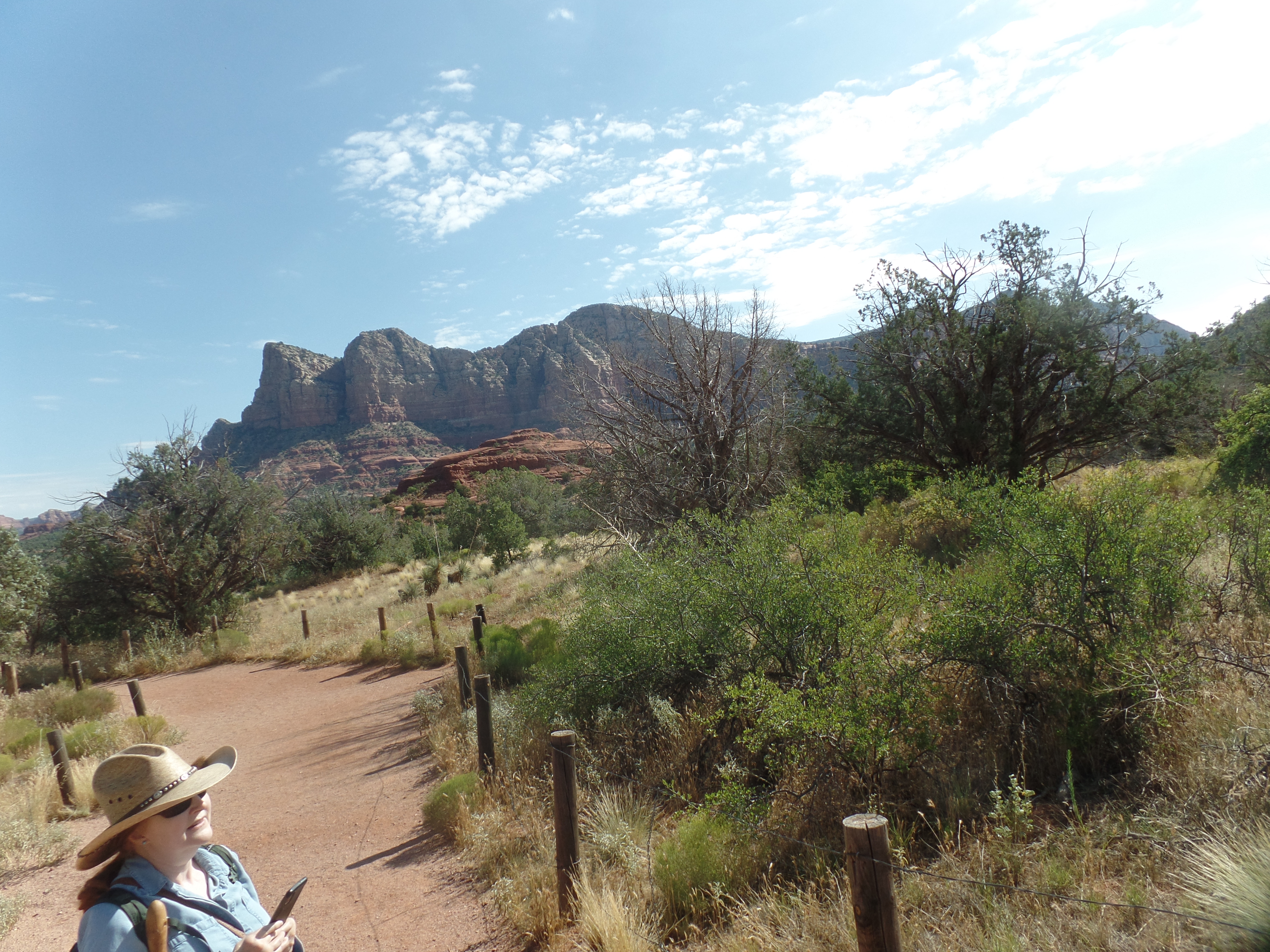
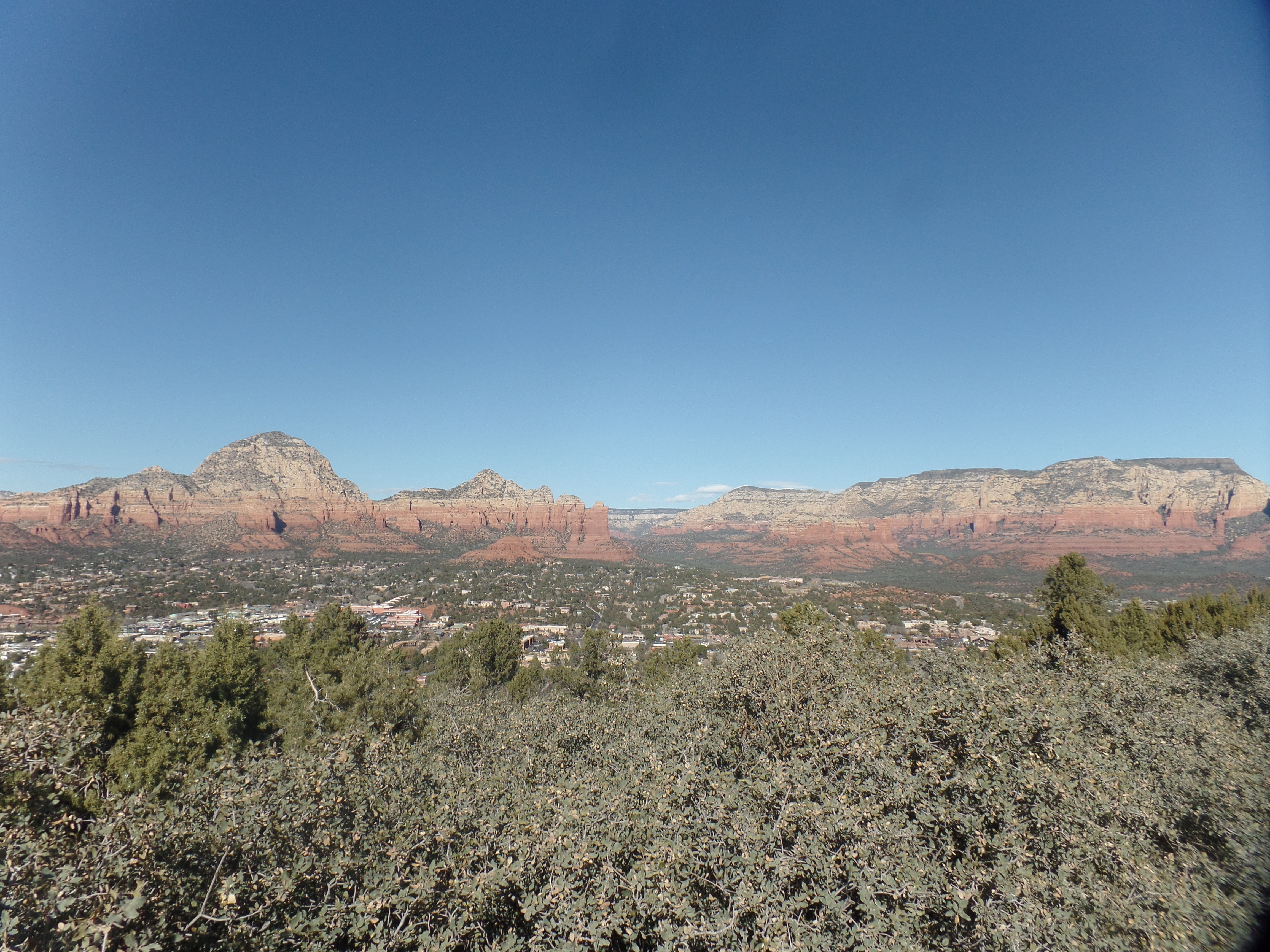
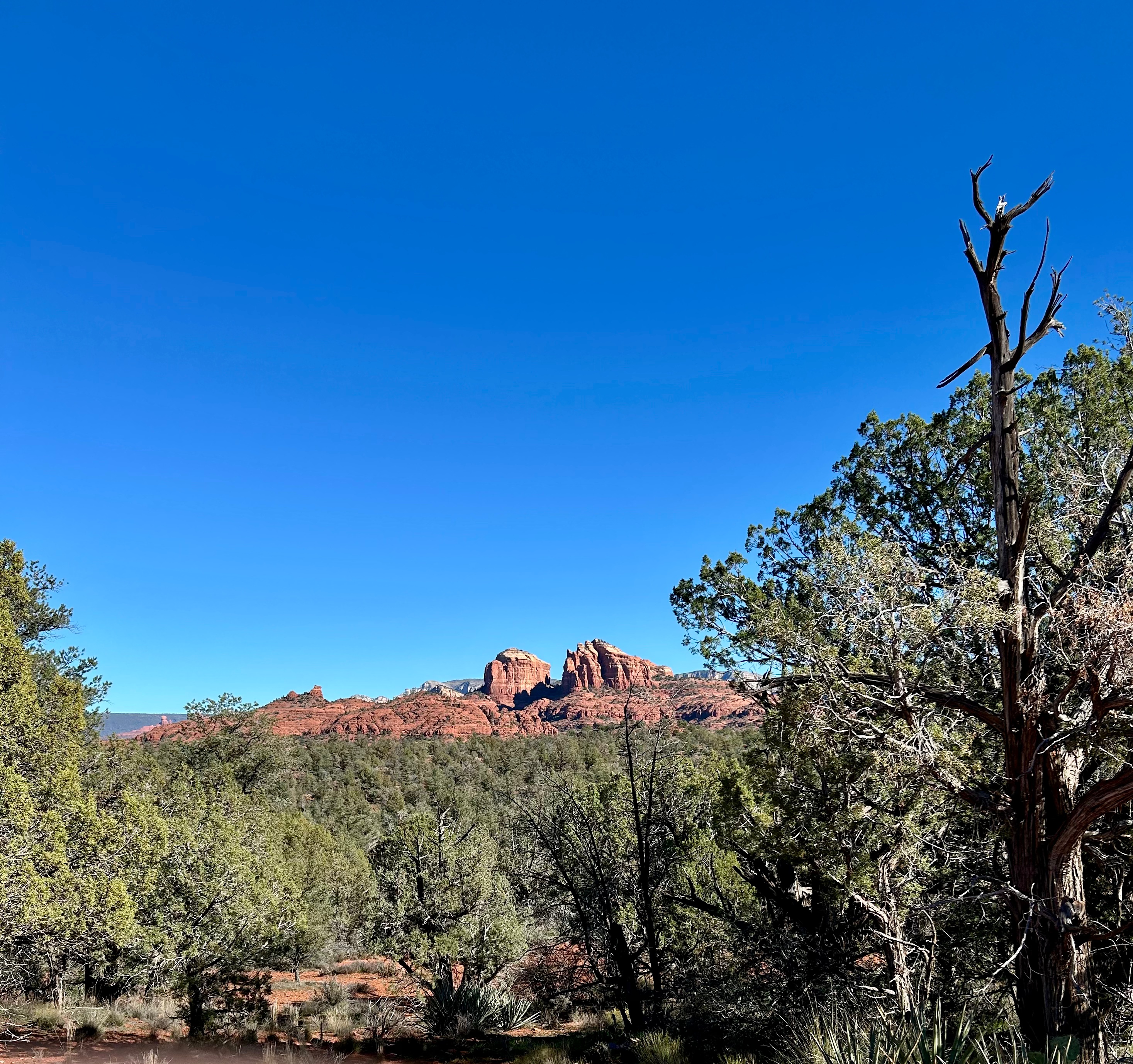
Once atop the Javelina Trail, the iconic view of Cathedral Rock offered itself.
We briefly pondered the trail east to another part of this majestic expanse, but then opted to head back down to the Visitors Center-and on to lunch. Just before getting to the Visitors Center, we encountered the family of resident mule deer, enjoying their lunch.

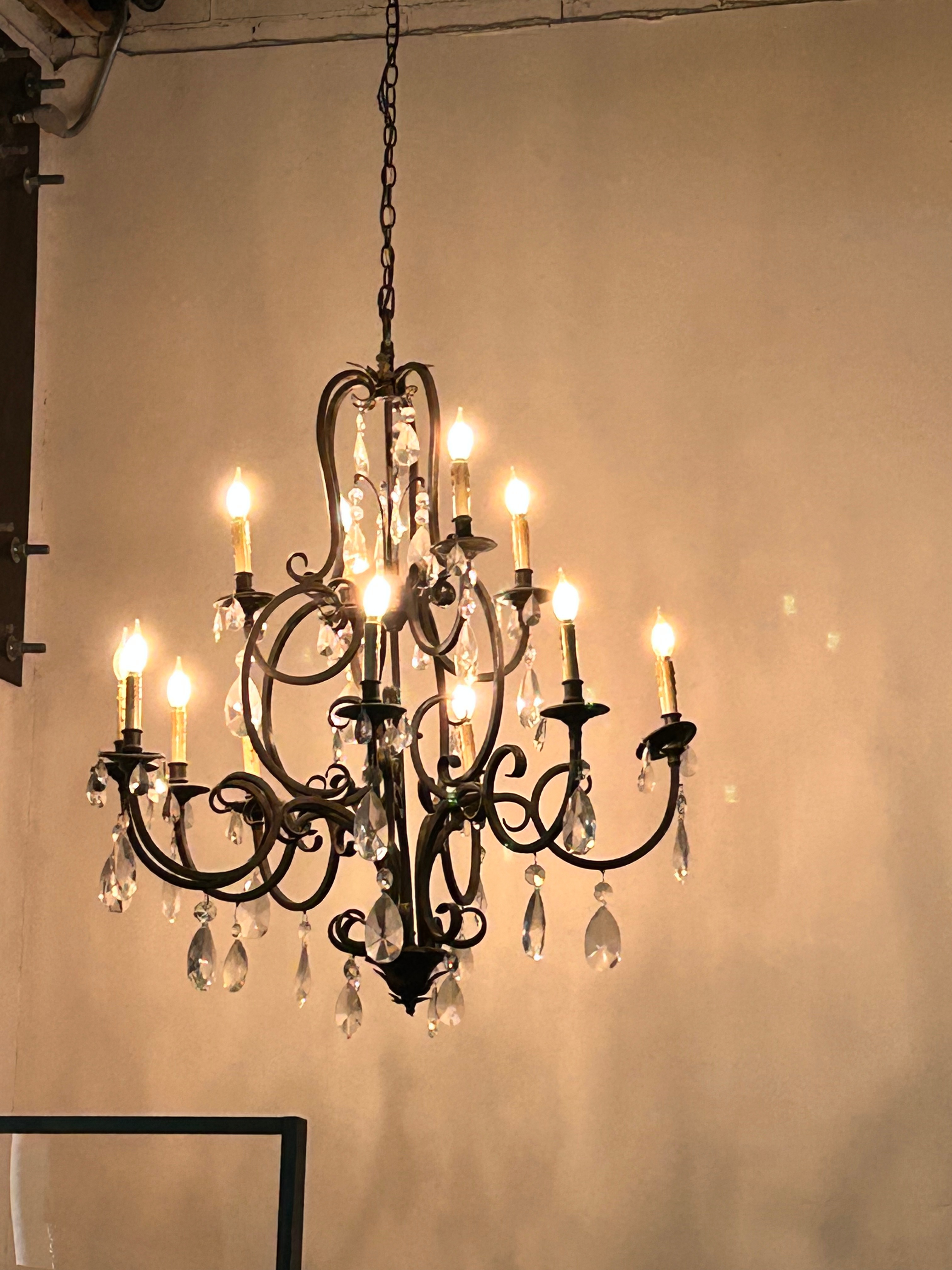
The final visit to Sedona, of this year at least, came to an end, with a celebratory lunch at The Belfry, at the entry to Old Town Cottonwood. I long ago swore to spare my readers any food photos, but this chandelier is worthy of praise.
I will someday be back in Sedona, and God willing, I might even have a wide-eyed granddaughter along.