The Road to 65, Mile 102: Three Beaches

6

March 10, 2015, Dana Point- I began the day innocently enough, letting myself out of the apartment of two young men, who were already at work, making two trips from hallway to car.  My first stop of the day:  Fletcher Cove, at Solana Beach, one of the few Southern California beach towns I had never seen up close.  Fletcher Cove Park was busy with several parents and children, as San Diego County has Spring Break this week, as does Arizona.

SAM_4490

I chose to investigate the south strand of Solana’s public beach area, part of the one-mile stretch donated by the town’s developer, as well as the “Dog Beach”, even further south.

SAM_4496

Note that the tide was coming in, quickly.SAM_4500

SAM_4501

This walkway evoked Crystal Cove, further up the coast in Newport Beach.

SAM_4502

Not sure of the name of this bird, but it was a curious, friendly sort.

SAM_4506

Colour is found is the most unexpected places.

SAM_4507

People persist in living on the edge here, as elsewhere in SoCal, and for a premium.

SAM_4508

The tide reached its high point, as I crossed this ledge.

SAM_4523

Solana’s colourful cliffs are kin to those of the desert, which is actually not so far away.

SAM_4528

It appears sea gulls have found it hard to maintain a chevron.

SAM_4529

A mother pointed out to her daughter, that sometimes plants can appear lazy.  Fletcher Cove has this relaxing park, near its central overlook.

SAM_4531

As with so many SoCal towns, Solana Beach has something to offer a repeat visitor: The north beach of Fletcher Cove;  maybe in July.

I drove up the coast to San Diego County’s northernmost strand:  San Onofre.

This is a State Beach, so it’s a $15 day fee.  San Onofre is a surfer’s beach, and there were many people in the water.  Kayakers abounded, and while there were mainly single adults here, a smattering of families were enjoying the relatively calm water.

SAM_4535

SAM_4537

Surfer music, palm trees and replicated Hawaiian totems cast an South Pacific aura.

SAM_4539

The state beach lies between the gradually-being-decomissioned nuclea power plant, to the south, and Camp Pendleton, to the north.  Walkers are allowed on the north end of San Onofre Beach, which is inside Camp Pendleton, provided they remain below the berm cliffs.

SAM_4543

I ended my beach day with a brief visit to familiar Dana Point Harbor, where I met my friend, Janet (not pictured).  While waiting for her, I made note of the clarity of the harbour water,

SAM_4546

and of several pelicans, who were chasing fishing boats that were coming into the marina.

SAM_4547

Janet and I did not see our favourite blue herons, though there were tell-tale nests in the thinned-out eucalyptus.  We visited for a while, then I headed inland- to the different magic of the oaks and pines.

The Road to 65, Mile 100: Cowles Mountain

8

March 8, 2015, San Diego- This morning found me up early, as is customary during the Baha’i Fast, which falls between March 2-20.  Getting a solid breakfast at Gramma’s Country Kitchen, my favourite restaurant in Banning, and enjoying watching as the team got everything ready for what promised to be a busy Sunday after-church crowd, I rolled out of Banning relatively early.  The drive through Hemet and Menifee, then on down to San Diego, was smooth and uneventful, save for an overturned semi-trailer, near MiraMesa.

Aram and I both rested for a bit; he, because of having had watch, last night and I, because it was Noon and fasting makes a 30-minute nap especially important.  At 2 PM, we headed out to Cowles Mountain, in Mission Trails Park, on the east side of town.  It is the highest peak within the city limits.

I was my usual self, maintaining a steady pace and taking lots of photos.  It had been a while since I hiked uphill, so it was a rather decent cardio workout.

Here are a few photos, before I put the lot of them in Flickr. Aram, feeling in need of a brisk start, blazed ahead, with my blessing.

SAM_4466

SAM_4467

We had fine views of San Diego, to the southwest, and the Cuyamaca Range, to the east.

SAM_4469

SAM_4474

The scrub and sandstone were our hosts, and there were dozens of hikers out enjoying the picture-postcard afternoon.

SAM_4471

SAM_4476

Lake Murray, a reservoir that is part of Mission Trails Park, is visible from the south face of Cowles Mountain.  It is a popular fishing and boating venue for San Diegans.

SAM_4480

I reached the top in about forty minutes.  It being 83 out, the sweat was not shy about making itself known.

SAM_4481

George Cowles, a pioneer in the area in the 1870’s, lent his name to the mountain.SAM_4482

On the way down, I got a better sense of the alignment of various boulders.  They are almost like family groupings.

SAM_4487

At the foot of Cowles Mountain, near a covered trash barrel, I spotted this canyon, in which lurked- a Sandbag Boa Constrictor! 🙂

SAM_4489

This was a truly fine day, capped by dinner at Zorba’s, a Greek cafe between the airport and Point Loma.  San Diego never disappoints.  Neither does my son.

The Road to 65, Mile 81, Part 4: Espada Apart

6

February 17, 2015, San Antonio-

One must want to visit Mission San Francisco de la Espada, much as one must want to visit Death Valley, Key West or the Upper Peninsula of Michigan.  I’m overstating, of course, but Espada is well out of the way of even its nearest neighbour, among the San Antonio Missions:  San Juan Capistrano.  To get to  Espada, I drove past the southward extension of San Antonio Riverwalk, to the Espada Aqueduct, which waters the southernmost of San Antonio’s mission communities.  From the Aqueduct, it is about three miles further to the Mission.  The drive is worth every inch.  I stopped briefly at Espada Dam and Acequia Park, near the southern end of Riverwalk.  Several bicyclists and runners were enjoying the area, as were Canadian geese and these serene ducks.

SAM_4338

The Aqueduct, however, was totally deserted and silent.

SAM_4339

SAM_4340

I arrived at the Mission about fifteen minutes later.  A family was just concluding a funeral service, in the community building, so I kept a quiet profile and focused on the western sector of the grounds.  The people seemed surprised to see a Gringo, but there are signs warning “Leave no valuables in your car.  Break-ins have occurred.”  This group seemed to me to be quite otherwise engaged, though I keep my car locked, electronically, anywhere I am.

SAM_4342

I was immediately struck by the solitary nature of the church and by the fact that the mission has an active school, which has in fact been its distinguishing feature.  It has been Espada which has provided the lion’s share of education and training for the Coahuiltecans of southern San Antonio.

SAM_4360

SAM_4357

SAM_4358

SAM_4359

SAM_4372

There are ruins of the small presidio, south of the church.  Espada was not on the main route of the marauding tribes, so fewer soldiers were needed.  The ranch which sustained the mission was another 20 or so “leagues” to the south, making it less attractive a target, still.

SAM_4343

SAM_4345

The original church was in the center of the mission grounds.  It was destroyed by a kitchen fire in 1826.SAM_4346

SAM_4352

The chimes which gave the location its name still hang in front of the Convento.SAM_4354

The granary survived the fire of 1826, mainly because it was nearly empty after a rare Comanche raid that year.

SAM_4361

Other buildings were not so fortunate.SAM_4363

SAM_4364

SAM_4369

SAM_4373

The two southern archways differ, with one being wide enough for horse-drawn carts and the other for travelers on foot to enter, and be searched.

SAM_4374

SAM_4375

This well-kept secret was a delicious finish to my long-desired visit to the southern missions of San Antonio.  It was getting late in the afternoon, however, so I bid this exciting city farewell, and headed west on U.S. 90.  The desolate beauty of west Texas was still ahead.

The Road to 65, Mile 81, Part 3: Capistrano in Texas

6

February 17, 2015- San Antonio 

The justly famed Mission San Juan Capistrano, in southern California. has a Texas twin.  This Mission San Juan was established in 1731, on the east bank of the San Antonio River, using the remnants of a previous mission near present-day Lufkin,which fell on hard times and the deaf ears of the Nazonis people.

The Coahuiltecans were, on the other hand, more than glad to have Spanish assistance, owing to the severe drought.  The Spanish taught the people near Mission San Juan, how to build and use acequias and to domesticate cattle.  Some of the first longhorn ranches were near this mission.

SAM_4309

The principal acequia for this mission came from the Yanaguana, the Coahuiltecan name for the San Antonio River.  A short nature trail allows the visitor a semblance of what was available to the residents of that time.

SAM_4323

The water level was a bit higher then, than now.  The present water supply is low, and sullied with clay.

SAM_4326

SAM_4327

Still, it allowed the populace to be fairly productive, botanically, as well as in animal husbandry.  A replica of the main garden still produces herbs and legumes.

SAM_4321

This is the site of the mission’s granary.

SAM_4313

There are preserved foundations of the small presidio and of the old church.  A campaign to enlarge the mission church ultimately failed, owing to scant manpower.

SAM_4310

SAM_4318

SAM_4320

A section of the old church remains in use as a friary.

SAM_4335

On the east side of the grounds, a post-colonial tufa house remains intact.

SAM_4312

San Juan is still an active mission community, with Coahuiltecan people comprising a large percentage of the neighbouring community.  The present-day church was last renovated in 2012.  Good thing I waited until now, to visit.

SAM_4330

SAM_4331

SAM_4315

This corner is a favourite outdoor gathering spot, for the parishioners, after Sunday Mass.

SAM_4333

Having learned of the extensive ranching and farming at three of the four southern missions, I headed for the place where the Coahuiltecans themselves were taught academics and trades:  Espada.

The Road to 65, Mile 78: All Love’s Labours

4

February 14, 2015- Panama City, FL.  Actors have an open-ended mission:  To relieve tension in their audience, but also to incite thought.  This is as true of those who devote themselves to small-city “stock” theater productions, becoming more intimate with both their audiences and their crews, as it is of those who stride the Red Carpet on awards night.

The rehearsal on which I sat in, this lovely north Florida morning, was intent on taking the viewer/listener back to childhood:  Specifically, it addressed the Spelling Bee, on the surface level, and the issues of parents living through their children and the resulting effects this brazen, immature vicarious life has on the child, on the more crucial, underlying, level.

Two hours of love were put into this endeavour, at least from the actors’ perspective.  There will be more, before the February 20 presentation.  The troupe presents before school groups, so this play will hit home, for any child who is in an activity for the sake of his/her parents.

I started the morning watching my hosts’ dogs play, in the back yard.  Dogs have the right perspective:  Only do what feels right, do it as a team, and mess around a bit, while doing it.

SAM_4051

The actors have the team thing down, and so will get through the production quite well.  My host is one of the best at this, and while messing around is not on her agenda- there is no one who has more fun with her work.

SAM_4053

The Martin Theater, where the production will first be staged, is a venerable institution in Panama City, and was a key USO site during World War II, when north Florida was a key staging area for the European Theatre of the conflict.

The murals on its south wall reflect the spirit of that time of national teamwork, and determination.  Womankind in those days was far more than Rosie the Riveter.  Style and grace remained key elements of maintaining morale.

SAM_4062

After the two-hour practice, there was a new mission:  Lunch.  Where better to begin this important search, than at a Farmer’s Market.  Panama City has a fine one, in the St. Andrews neighbourhood.

SAM_4065

We found lots of arts, crafts and fresh vegetables, but a complete meal required crossing the street- to Little Village, a lovely old house that was converted by its owner into a small restaurant, bar and gift shop complex.  It reminds me of a similar arrangement in an airplane hangar, at Oceanside, CA.

SAM_4068 Little Village is certainly well appreciated by the residents of Panama City:  The place was packed, and we got stuffed by the amazing Veracruz-style Mexican cuisine.  Music was provided by a pianist-singer, evoking a cross between Billy Joel and Carlos Santana.

SAM_4072

I was beginning to think that I might end this journey looking like these fellows.

SAM_4069

We decided to walk off the meal, as best we could, and drove to St. Andrews State Recreation Area, first visiting Gator Lake, an encounter with a swamp environment.  The signature creatures were nowhere to be seen.  Of course, it was early afternoon, and alligators usually prefer to be out and about in the morning.

SAM_4075

SAM_4089

The sand here is the whitest I’ve yet seen, being largely the result of shell deposits.

SAM_4083

Needless to say, Host and I were both in our elements.

SAM_4081

SAM_4086

The afternoon would not have been complete, though, without going across the parking lot and seeing the fabulous stretches of pure white sand and rather feisty surf.SAM_4091

SAM_4094

SAM_4096

This was a very full St. Valentine’s Day.  As much as sourpuss revisionists like to put down the Patron Saint of lovers, I like to think his devotion to his chosen mission was a path of love, much like that of the actors whom I watched last night, and this morning.

The theme of real love continued on into the night, as we sat in my hosts’ living room and watched “The Good Lie”, wherein Reese Witherspoon teaches, and is taught by, four refugees from Sudan.  We did so in segments, around the work of loving parents who put their son and his needs first.  Later this evening, with my exhausted hosts gone to bed, I had the pleasure of talking with another house guest, an amazingly insightful boy of twelve, for about ninety minutes of free-ranging exploration of just what is needed, in order for families that are fragmented, to reconnect and ultimately thrive.  I think the man-child will do just fine.

The Road to 65, Mile 77: As Luck Does Have It

7

July 13, 2015- Panama City, FL Yes, I believe from now on, I will add location to my datelines.  I am back on track, writing, after several days of focusing just on what’s in front of me.  Today, I connected with two friends:  One, an extended family member who’s in an exile, of sorts and the other, an online friend who’s been after me to come by this town, off and on, for the last three years.

So, here I am, in lovely northwest Florida.  The area does seem more soul-connected than some other parts of the Sunshine State, but maybe that’s because its heritage, along with that of St. Augustine and the northeast, runs a bit deeper.  I began my visit by lunching with said family member at Gary’s Oyster Shack, in Springfield, about five miles east of PC.  My eponymous restaurant host was a taciturn sort, a bit reserved, but he and his kids put forth some great Low Country Boil, and a full range of other dishes.  It’s great to be back dining by, and of, the sea.

SAM_4026

After an hour’s conversation, I bid farewell and Godspeed to my friend, and leaded forth to downtown Panama City.  Walking around the seemingly defunct Hawk’s Nest Bar and Grill, I spotted signs that the place was once a fabulous place at which to while away an afternoon, or an evening. The woods outside make for a fine picnic spot.

SAM_4031

Murals most often tell a good story, as this one does.

SAM_4032

Then, there is the front veranda and patio- one of the great appeals of the Coastal South.

SAM_4033

Back along the waterfront, there is a crowded marina- reminder of fishing’s prominence here.

SAM_4030

I walked along the coastal path, crossing a drawbridge- the oldest working such bridge in these parts.

SAM_4034

SAM_4035

Towards the end of the road, there were several lovely historical homes.  Some are large, like the Howell/Hobbs House (1909).

SAM_4037

Others were cottage-style, like the McKenzie/Pickens House (1918).

SAM_4040

These homes are in grand proximity to some of the clearest ocean anywhere.

SAM_4043

My host later explained to me that there are pools of fresh water, parallel to the ocean, and that alligators traverse between the two water supplies, feasting on the best of both.

I was in need of a rest, and of wifi, after this fine little outing, and so repaired to Willows British Tea House, just up Harrison Street, as it happens, from the Martin Theater, where I would observe a play practice in a day or so. The awning shows where Willows is located.  There were some ladies inside, who did not wish to be photographed, so this is as close as I choose to show the lovely establishment.  Here, I finally connected with my host, and arranged to meet her at the Martin.  After a refreshing pot of orange tea and a piece of lemon cake, I headed for the theater.

SAM_4027

Here is a scene from the Martin Theater’s lobby.  It has a long exchequer of fine performances, and still serves as Panama City’s center for showing art cinema.

SAM_4048

That evening, after a marvelous meal of gumbo and rice, Kelly, Fernando and I headed for Kaleidoscope Theater and watched a pleasing, though overlong, production of a play entitled “There’s A Burglar In My Bed”- a British-style farce, where several people got in one another’s way, mostly in an inadvertent manner.  It’s all great fun.

The Road to 65, Mile 75: Florida’s Overlooked Story

5

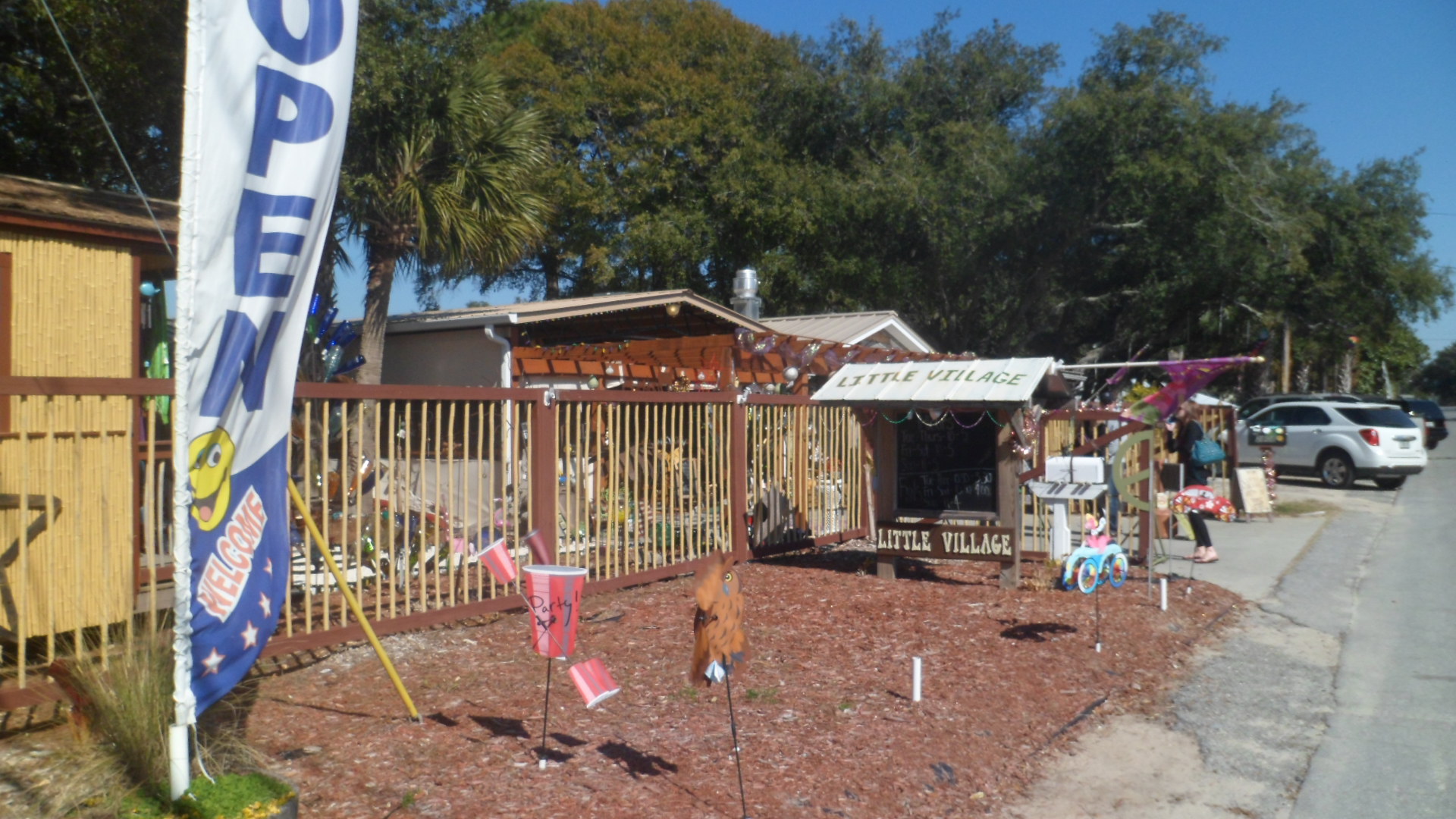
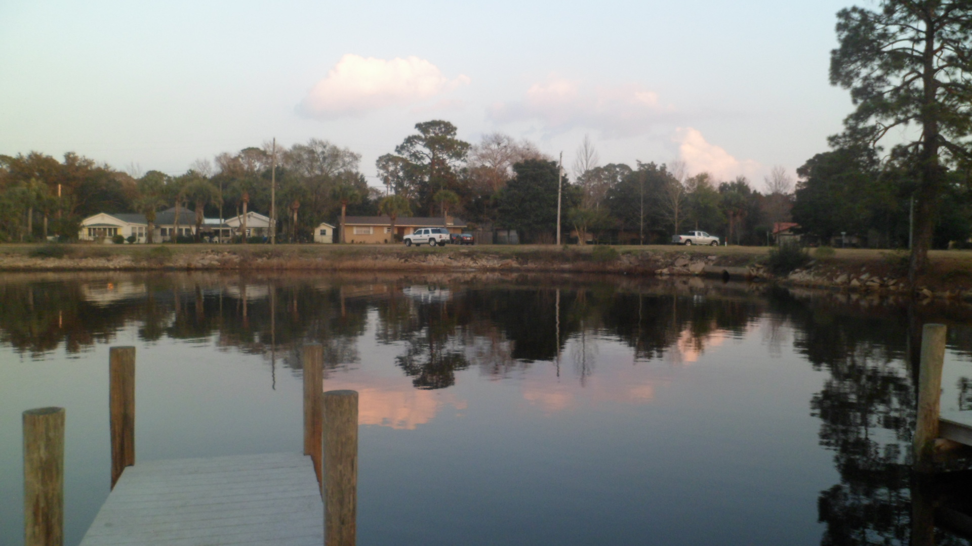
February 11, 2015, Tallahassee-  Many people come to the Sunshine State for its modernities and for-sunshine. This time of year, there is plenty of sunshine, though Florida can’t entirely escape the cold that plagues the rest of the continent.  There will be two cold snaps, before the region reverts to its signature mildness.  When it’s like this, I focus on the inside scoop- What do a region’s historical treasures have to tell us about the area as it is today?

Most people are aware that Florida was ruled by the Spanish, for about 200 years.  They are also aware that there are Indigenous people, called Seminoles, who had a wise and clever leader named Osceola and that these people fought three wars with the U.S. Government.  Some will know that there are a different group of Indigenous people, called Miccosukee, who are descended from the Calusa and Mayaimi nations, who lived in South Florida, prior to the Spanish arrival.

Few know, however, that the Calusa, and the Apalachee of the northwest, were powerful and well-organized nations.  The Apalachee chiefs recognized that the Spanish had strong medicine to fight the diseases against which Indigenous North Americans had no immunity.  So, they invited the Spanish to teach their people about Christianity and to use European medicine to fight the new afflictions.  They also wanted the Spanish to help defend them against British and Creek warriors, invading from the north.  The British and Creeks won, though, and the Creeks became Seminoles, living around Lake Okeechobee.

The Calusa, though, became suspicious of the Spanish, when a 16th Century rendition of the Mariel Boatlift arrived on their shores, near today’s Fort Myers.  The Taino people fled wholesale slaughter by the Spanish in Cuba and came, in hundreds of dugout canoes, to the land otaf the Calusa. The Calusa never really warmed to Europeans, as you might imagine.

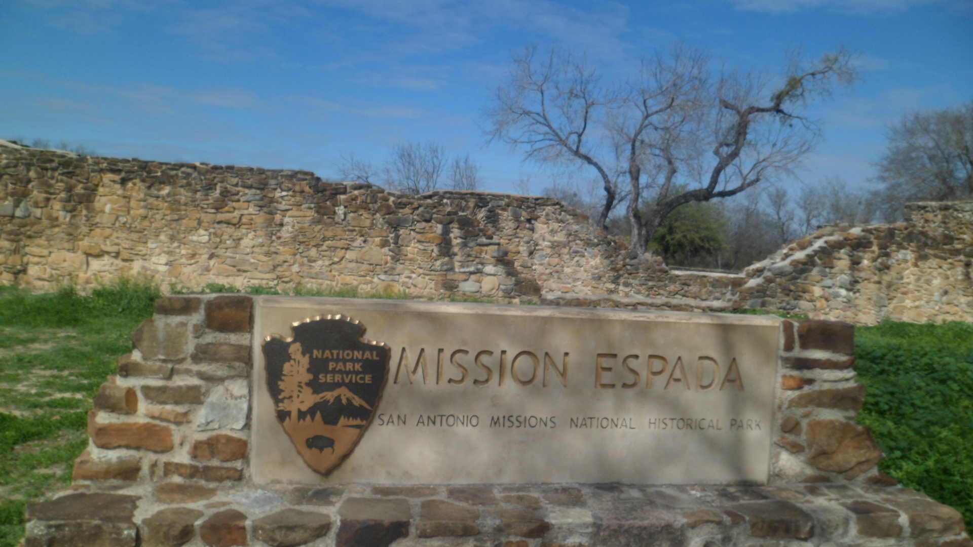
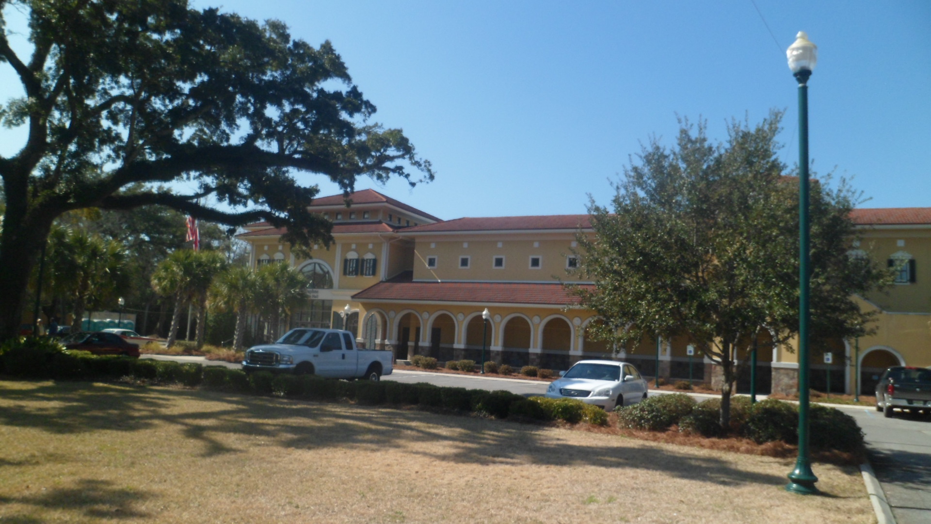
These are a couple of Florida tidbits, revealed at the Florida Museum of Natural History, which I visited on Tuesday, at the Museum of Florida History, which I toured this afternoon- and Mission San Luis de Talimali, where I spent the morning and early afternoon.  The latter two are both in Tallahassee, and are part of a renewed push by the state to focus on its rich heritage.

Here are several photos which will give you an idea of the marvels that await at Mission San Luis- a true Living History facility.  It offers classes in metallurgy, tool-making, Spanish and Apalachee cooking, and foraging for plants in the moss-laden forest.

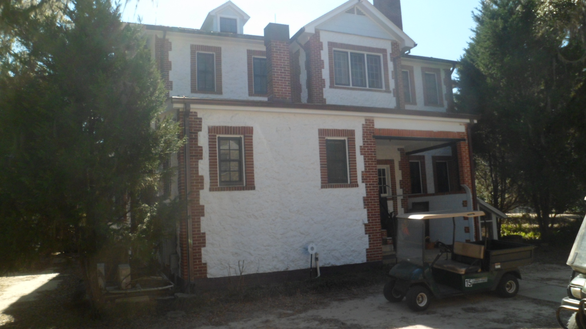
We start with the relatively new Visitor Center, which replaced the early 20th Century Messer House, now a costume-making center and office building, in 1983.

SAM_3924

SAM_3988

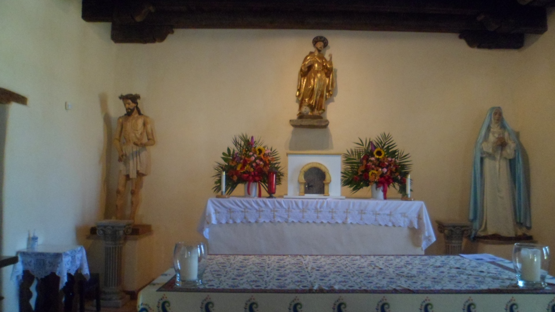
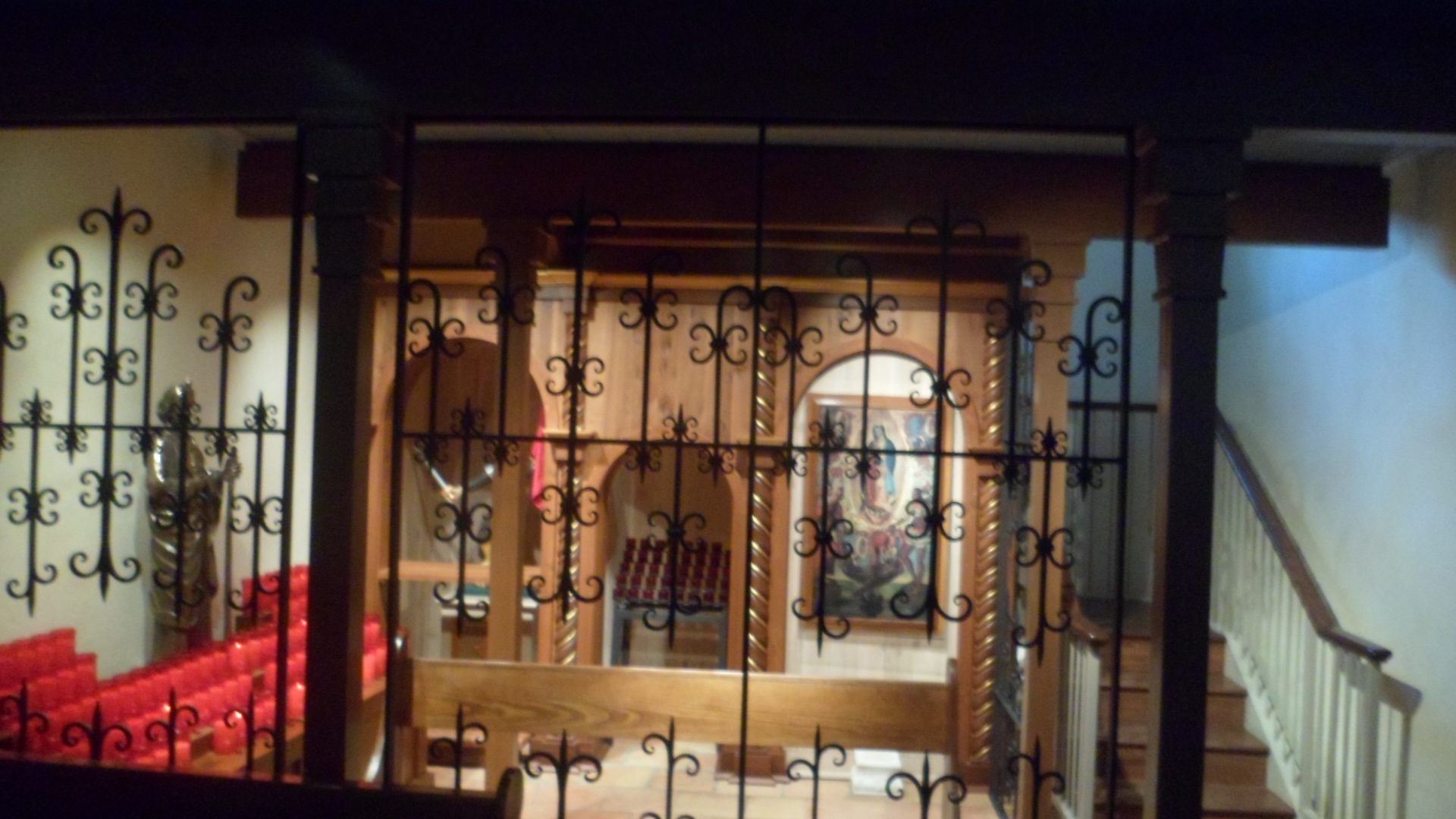
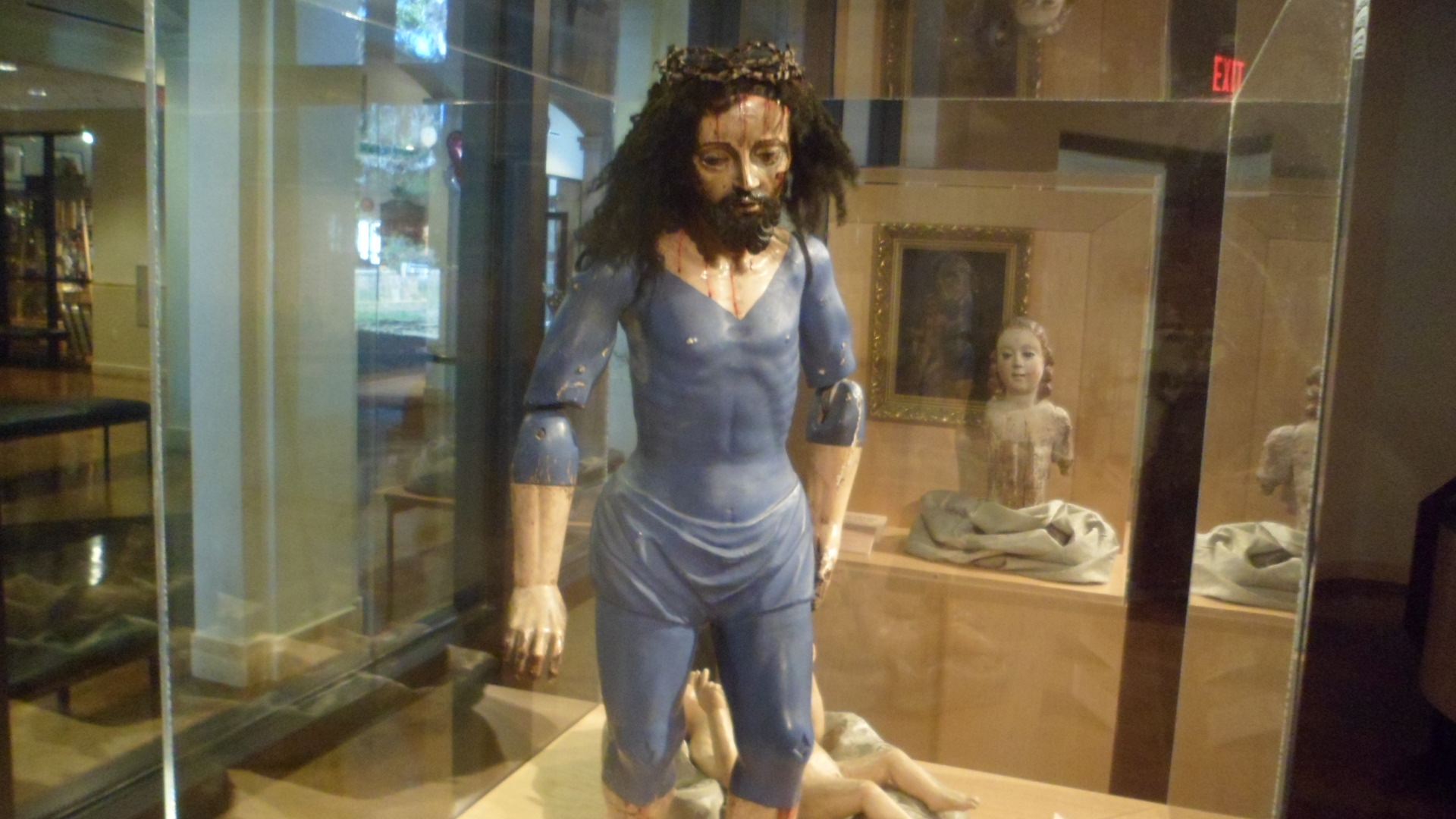
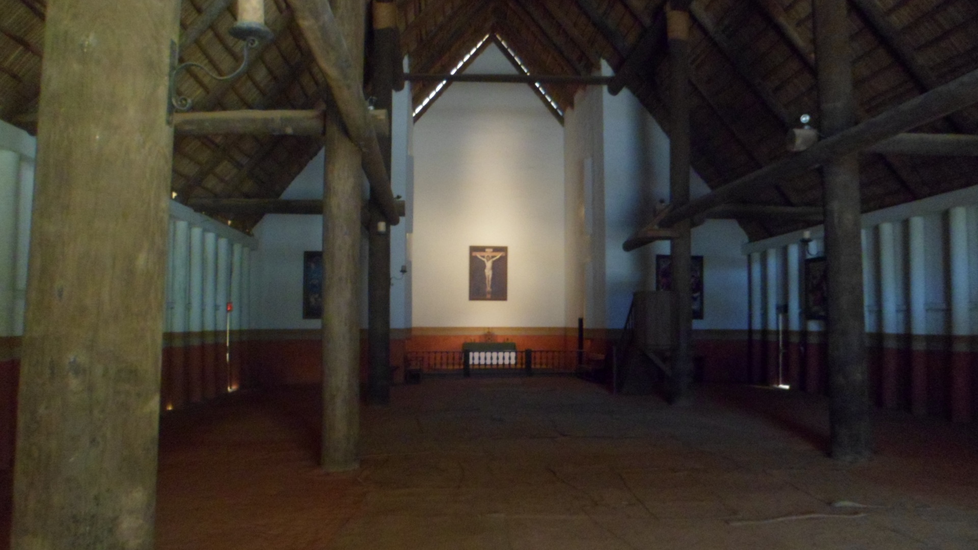
This is one of the depictions of a Crucified Christ that was presented to the Apalachee converts, by the Franciscan friars who established Mission San Luis.

SAM_3929

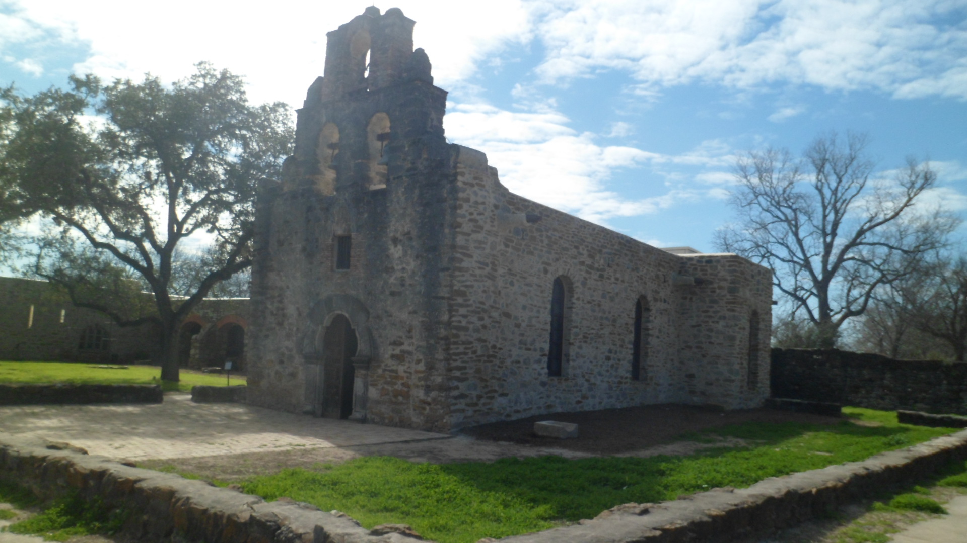
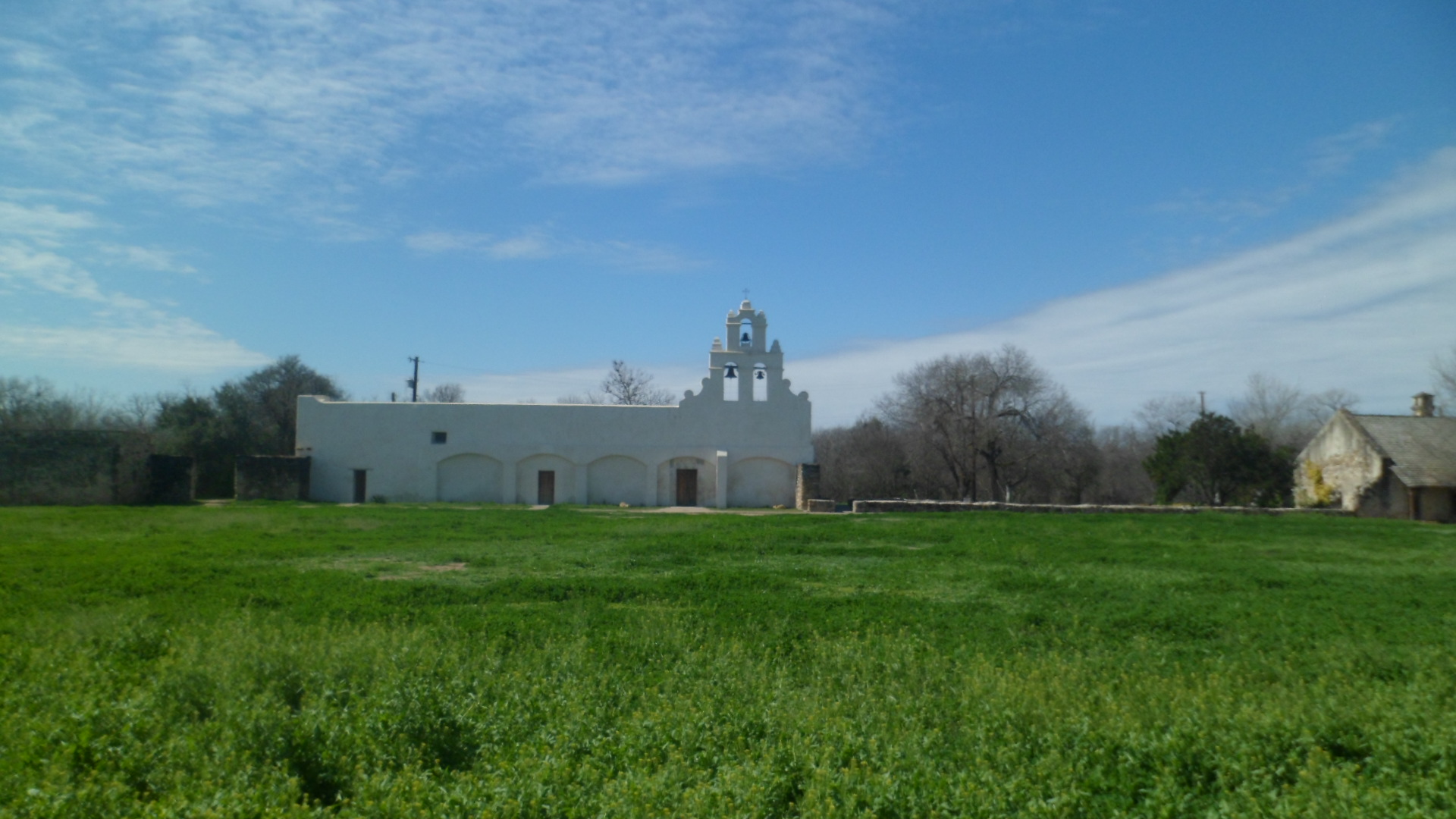
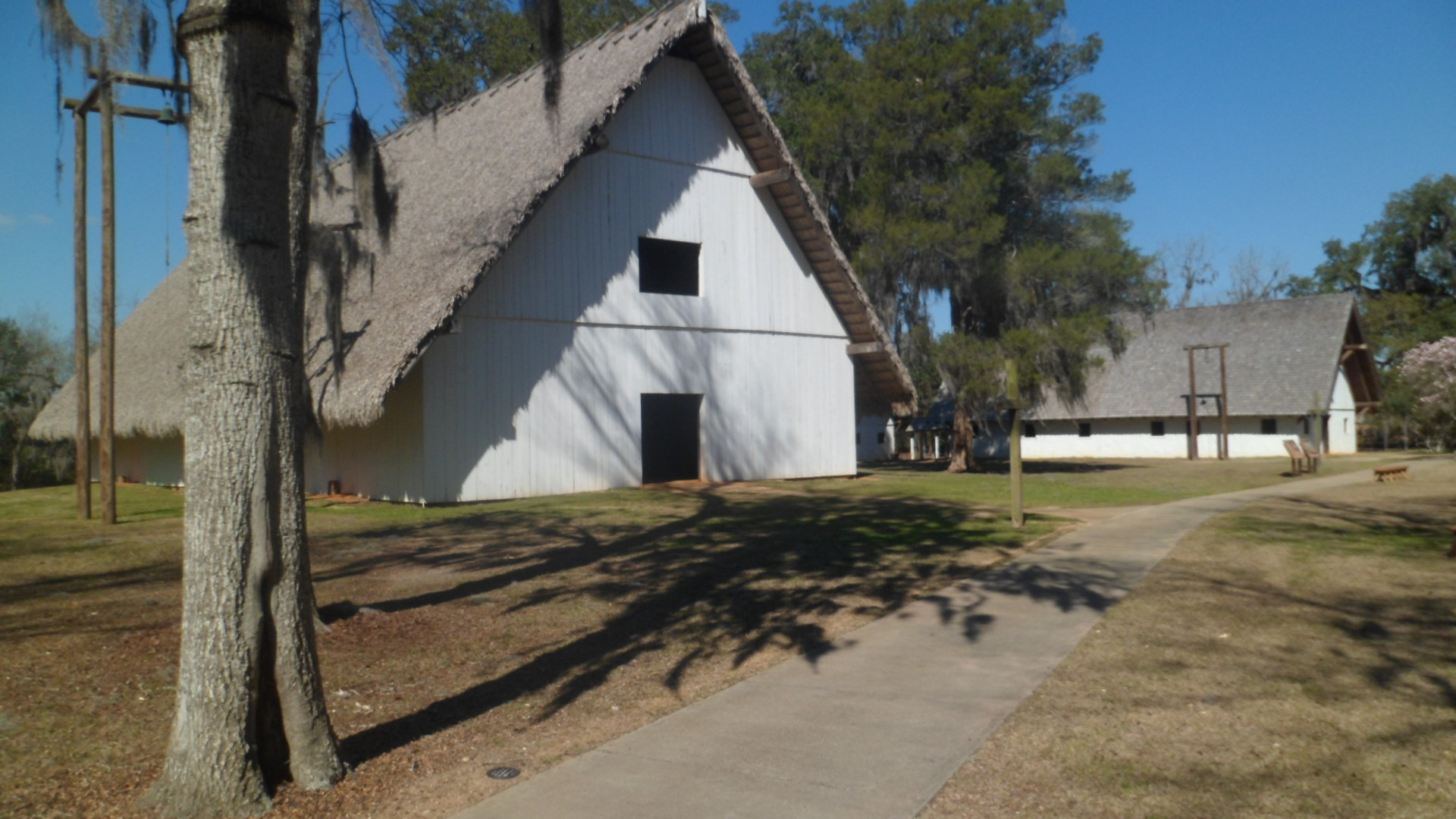
Here is an outside view of the Mission Church.  Note the roof thatch, which is the same material as covers the Council House of the Apalachee.

SAM_3934

The inside is quite spare, with no semblance of ornate flooring. The floor is sand, as is the case in the friary, the kitchen and the Council House.  Woven mats were used to keep the dust down, with varying degrees of success.

SAM_3941

SAM_3937

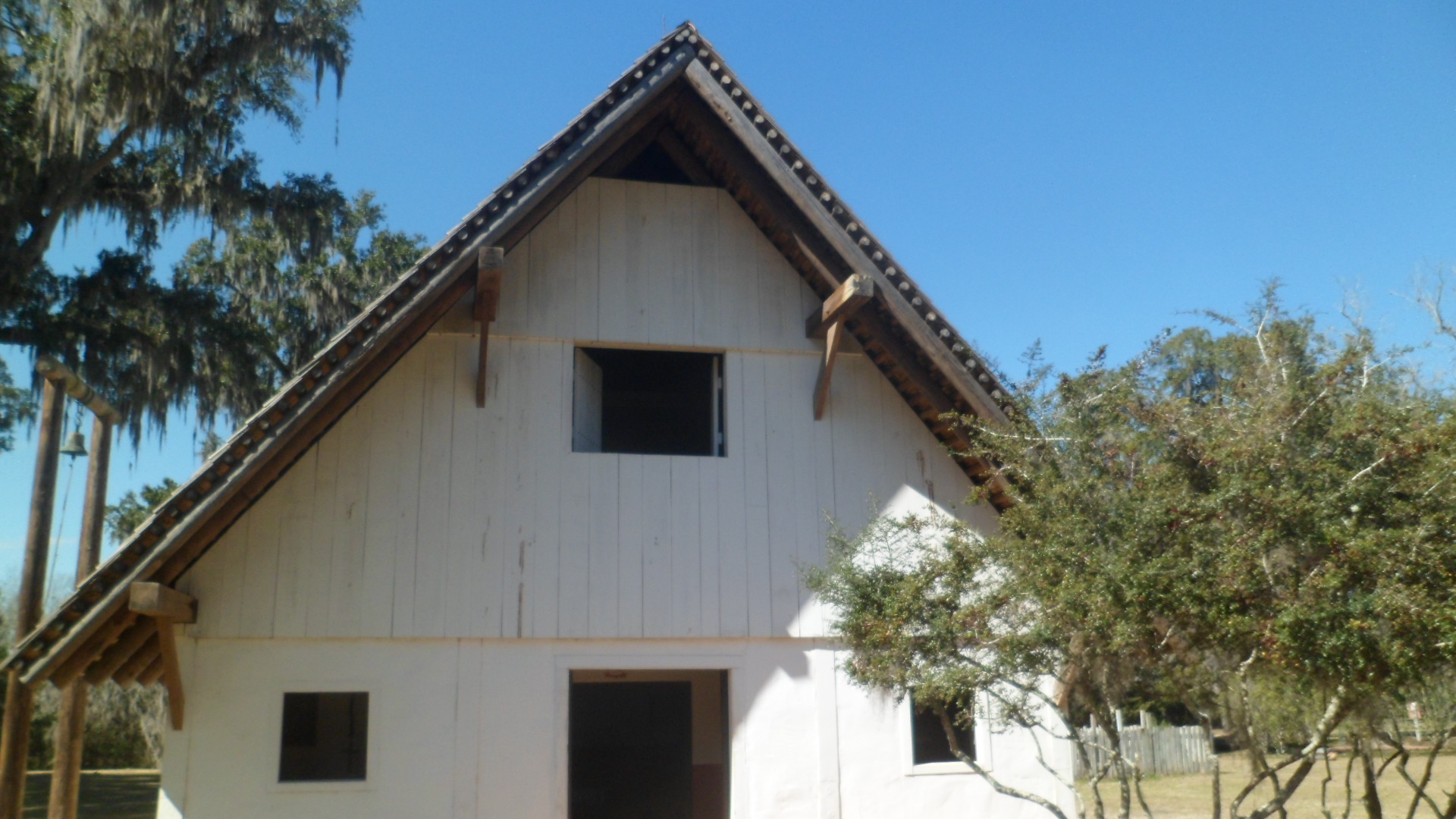
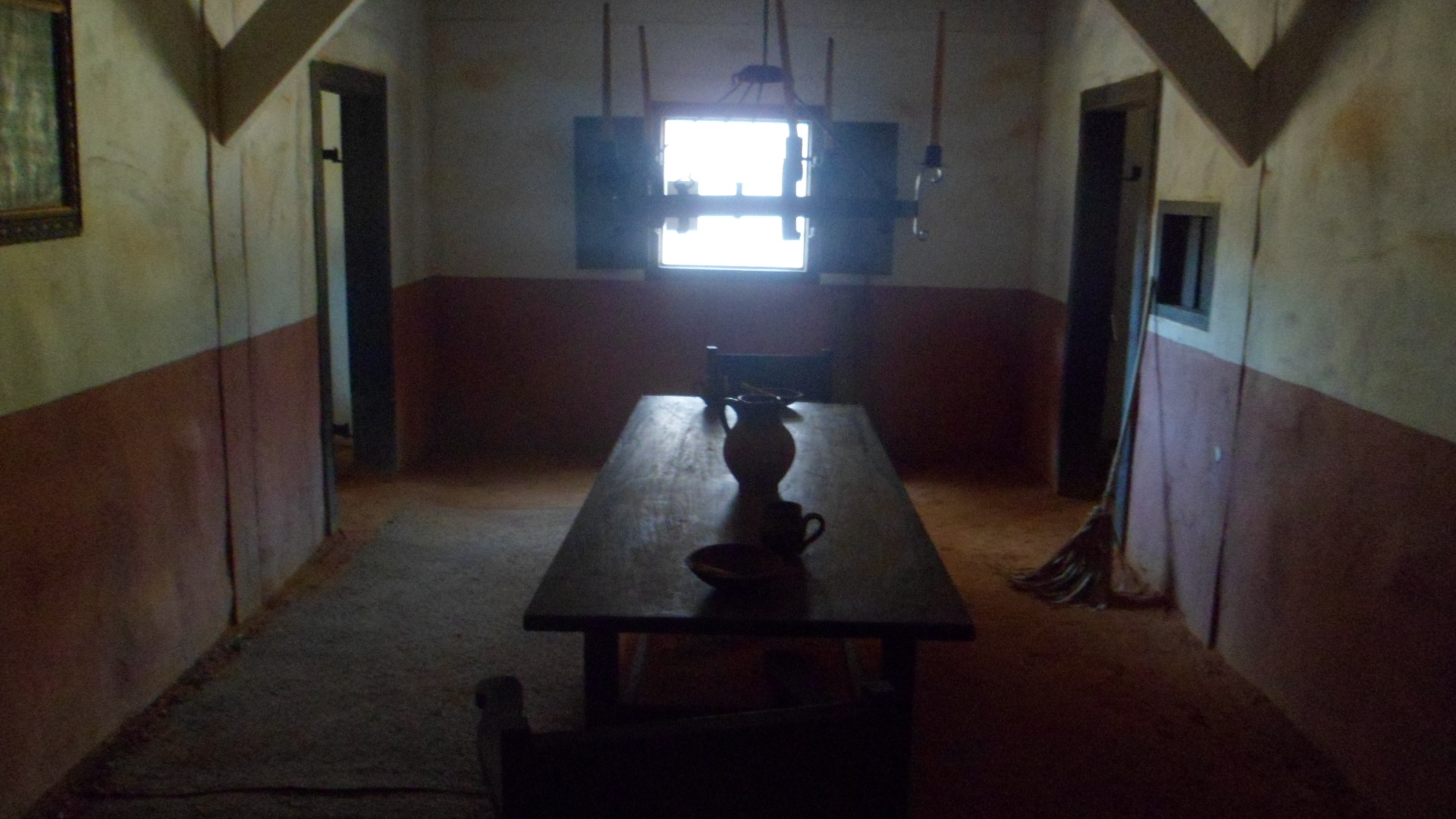
Like the Church, the Friary had a window in the attic, for heat release.  The inside temperature reflected the seasons. Today, all the preserved mission buildings were cold inside.

SAM_3941Here is a view of the friars’ dining area.  They took food from dishes on the table, and sat on the floor mats to eat.

SAM_3945

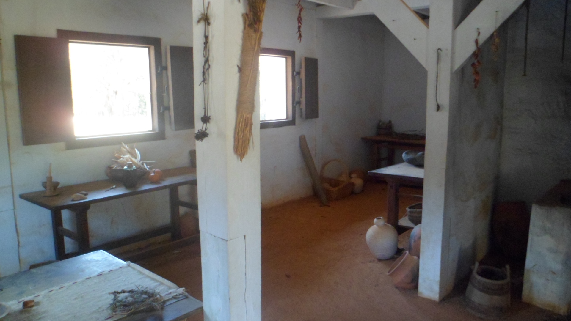
This was the friary kitchen.

SAM_3949

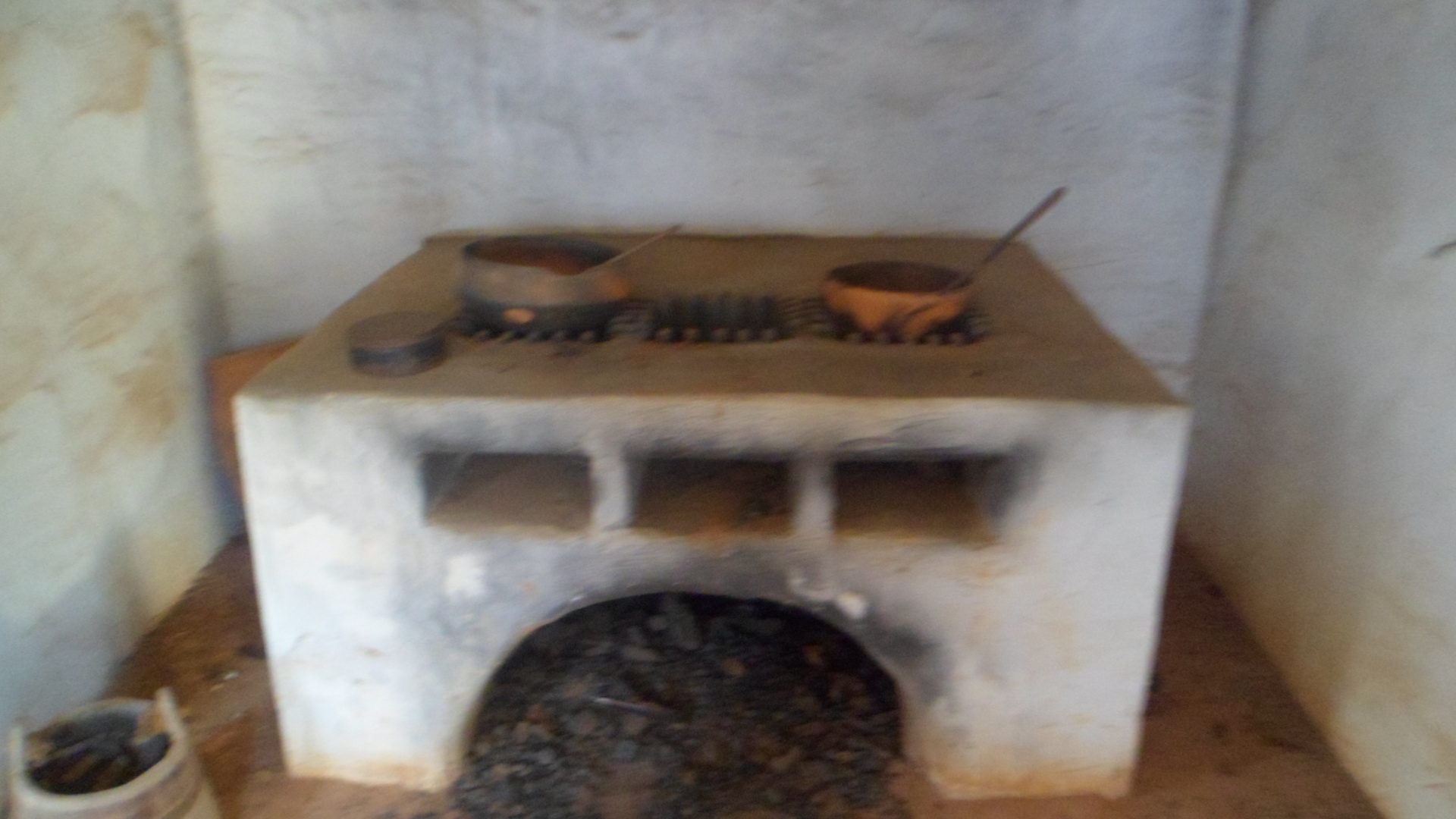
Cooking was done with this charcoal oven.

SAM_3950

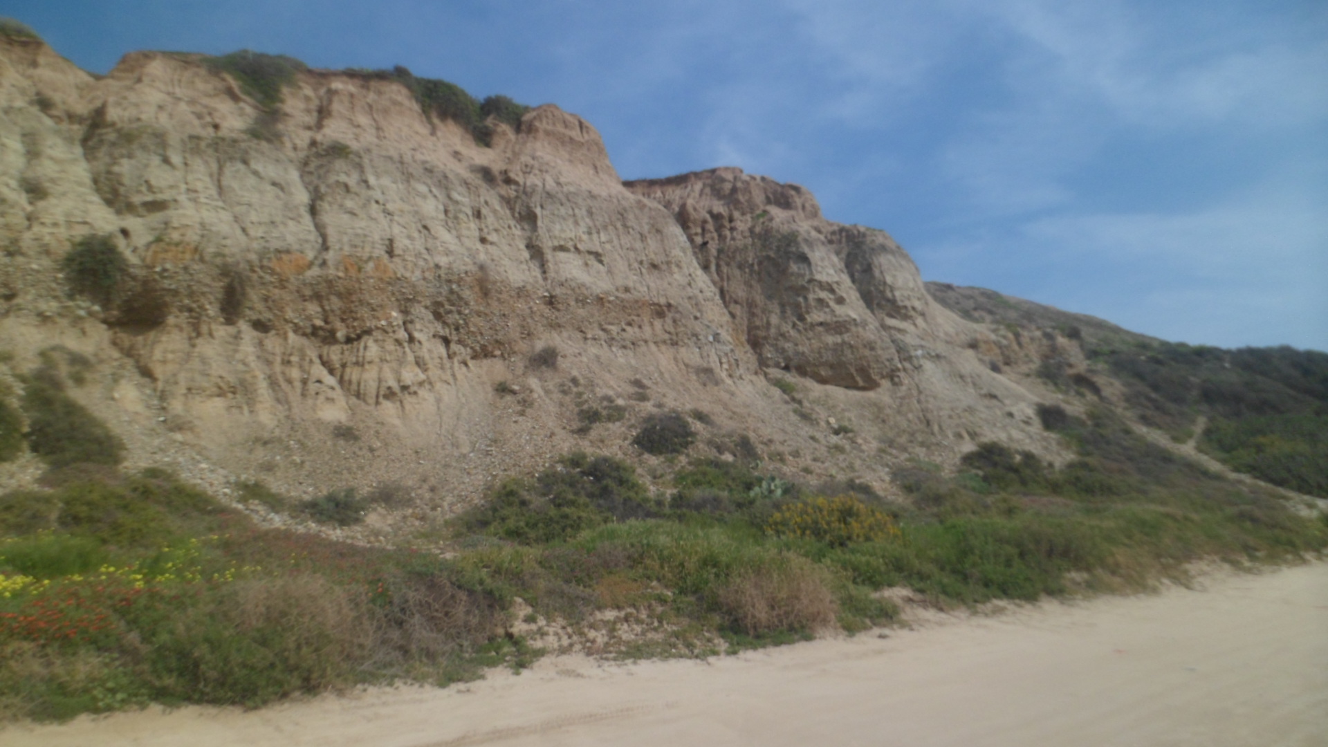
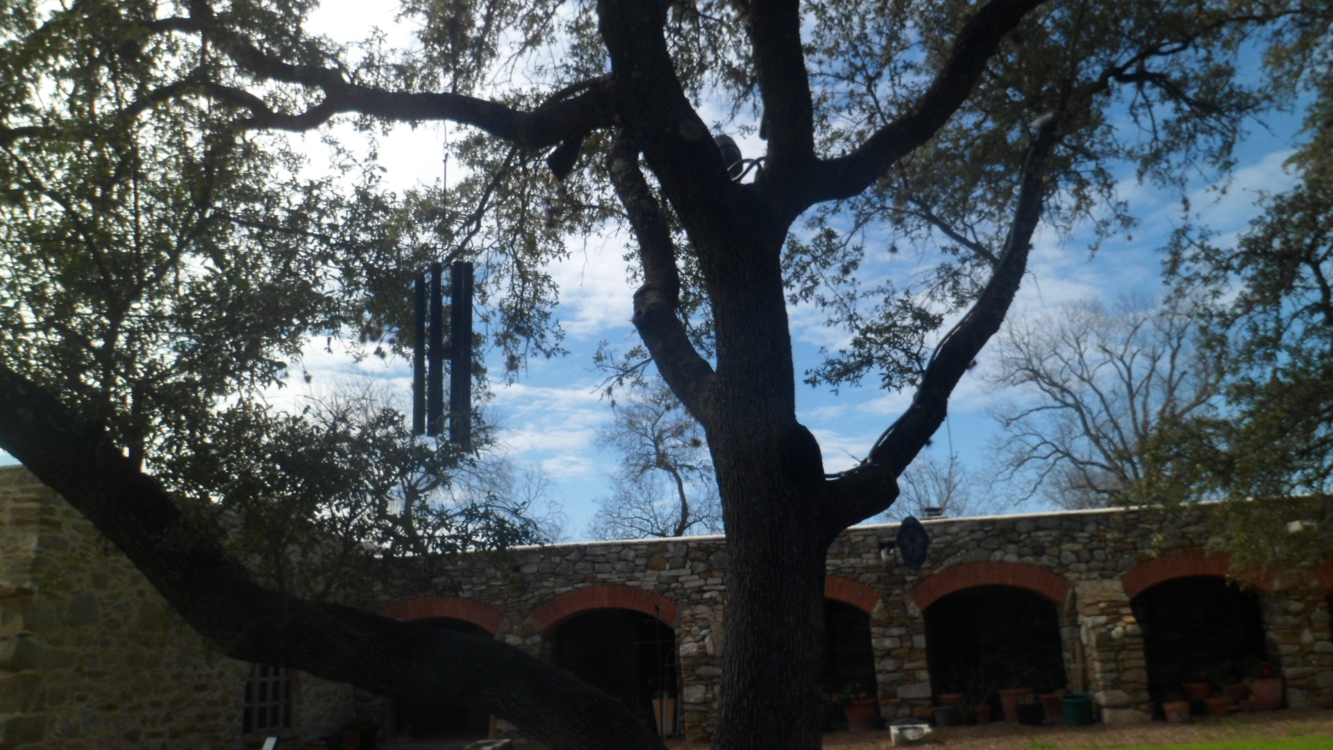
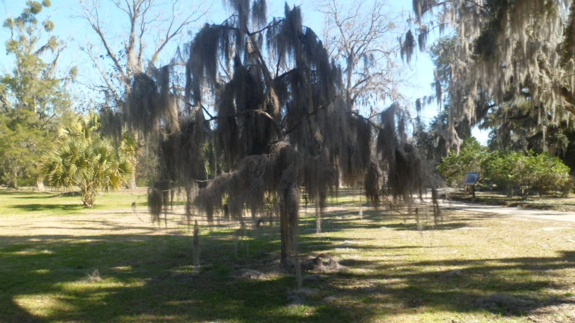
Spanish Moss covers many of the evergreens and laurels, throughout the Southeastern  states.

SAM_3954

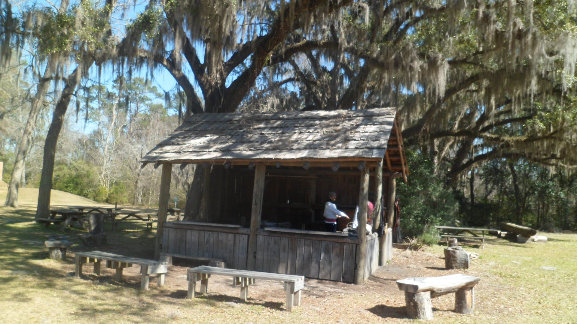
Two journeyman blacksmiths were breakng down their shop for the day, but graciously answered my questions, as to the nature of their work at the Mission, which is primarily tool-making, as opposed to farriership.  The Master Blacksmith does repair munitions, though.

SAM_3957

This blacksmith shows two pot hooks, with grooved grips that allow the cooks to lift the pot off the stove or out of the cookfire, in the absence of hot pads.  The heat does not conduct through the grooves.SAM_3958

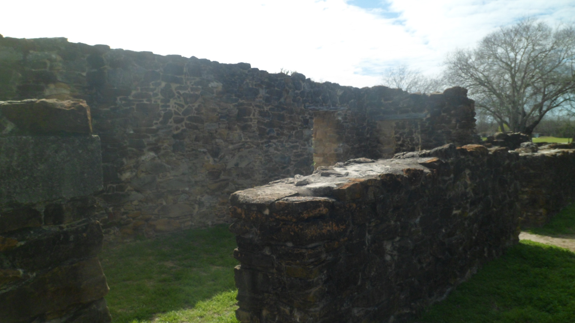
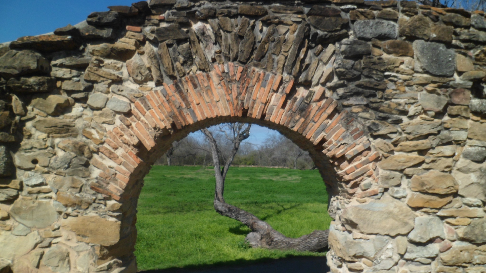
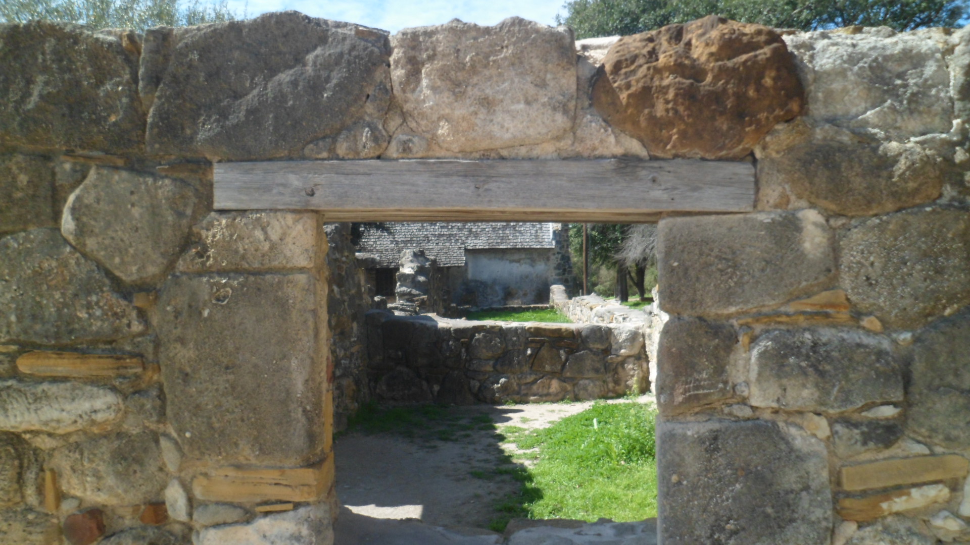
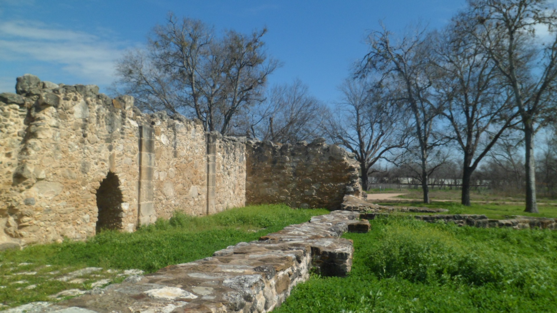
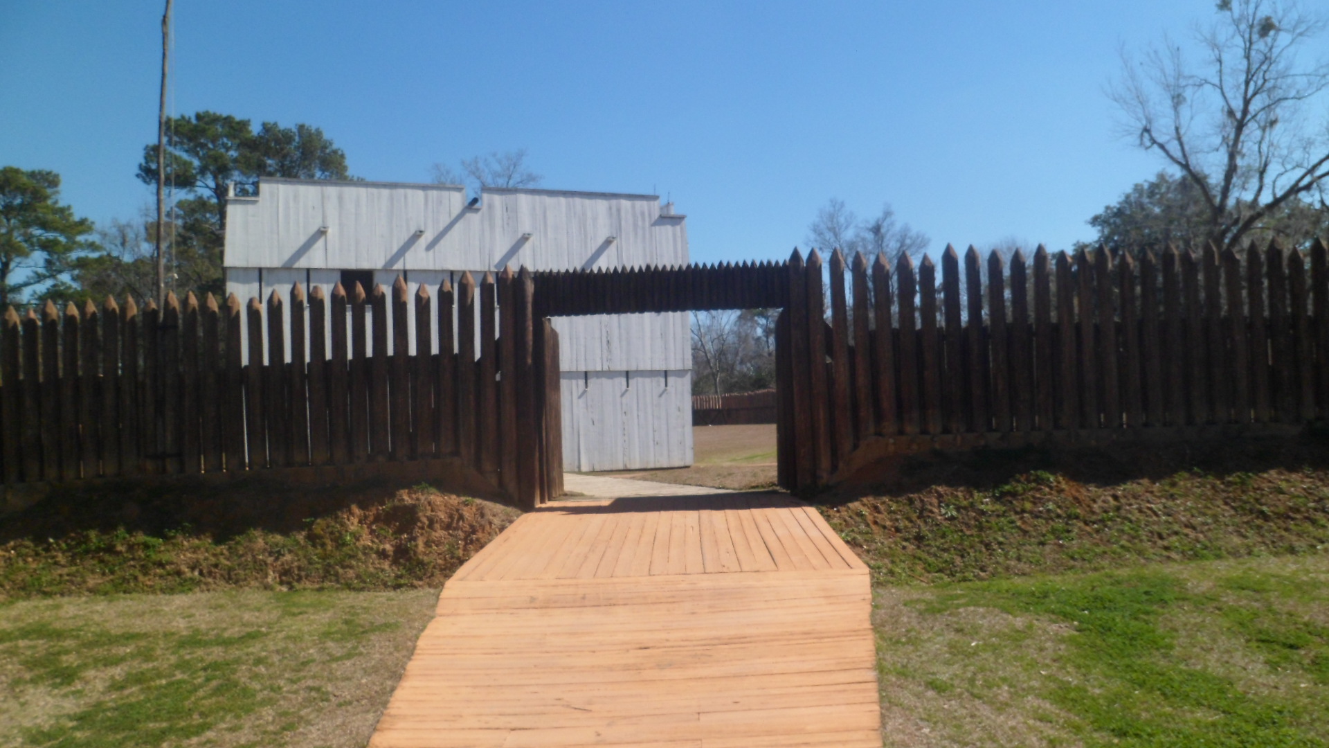
This is Fort San Luis, where a garrison of Spanish and Apalachee troops were housed and trained.

SAM_3961

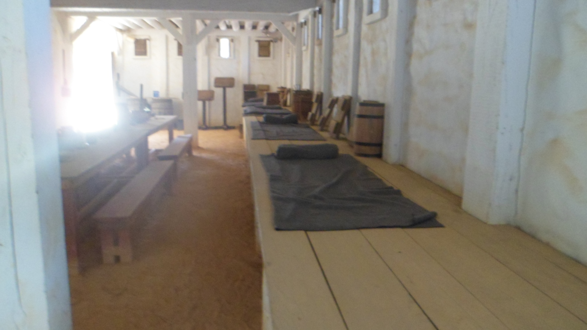
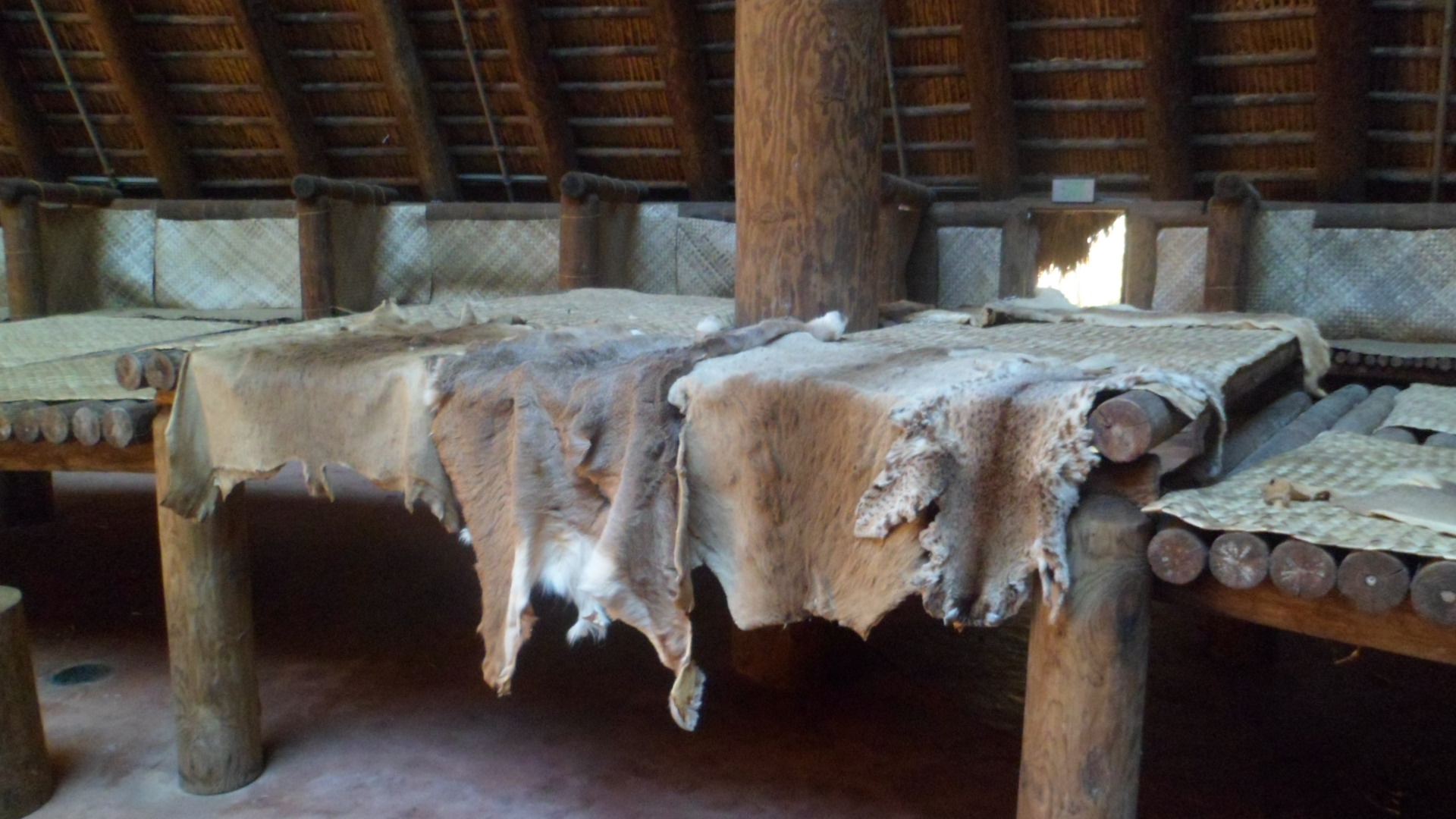
The men slept on mats, atop platforms, in the style of the Apalachee people.  It is said that the Apalachee figured fleas could not jump higher than five feet.  This is quite debatable, as fleas have been observed in labs, jumping ten feet or more.

SAM_3965

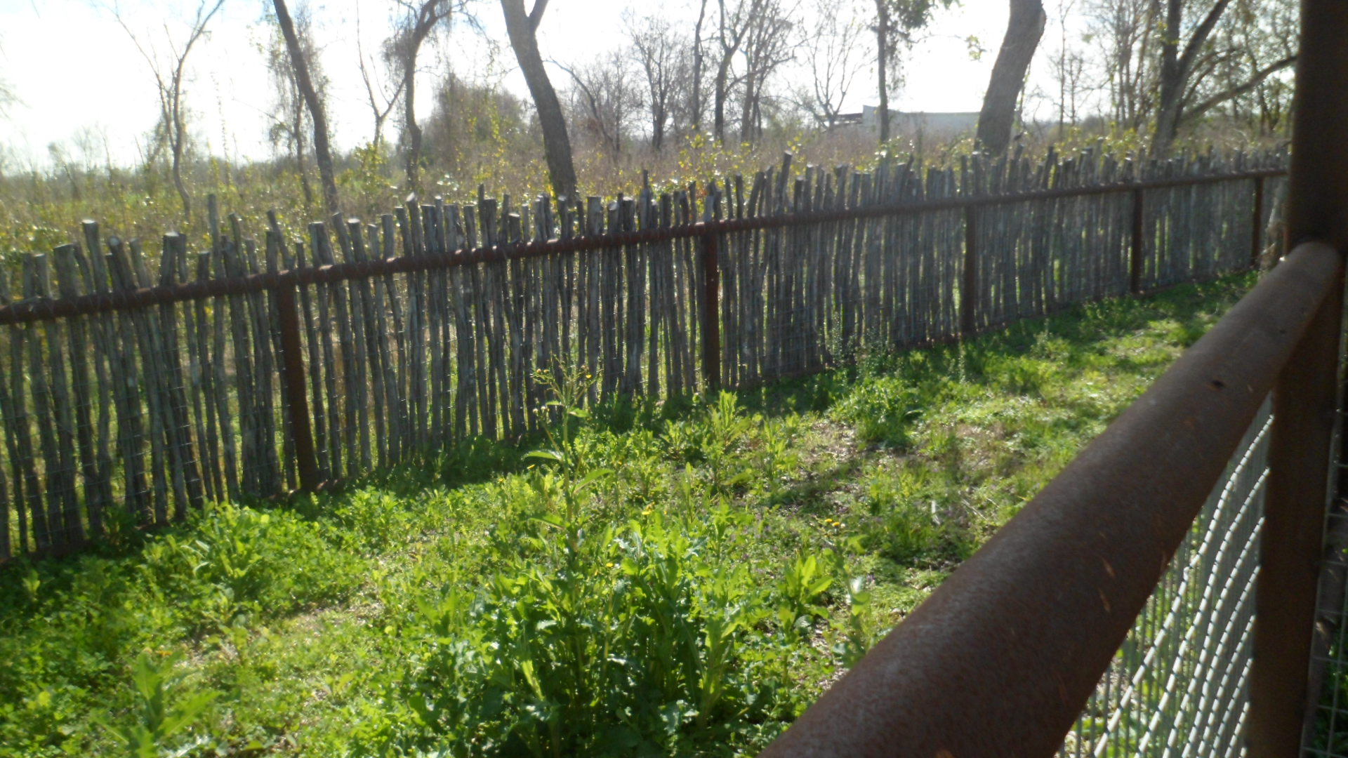
Note the points on the fence poles.

SAM_3972

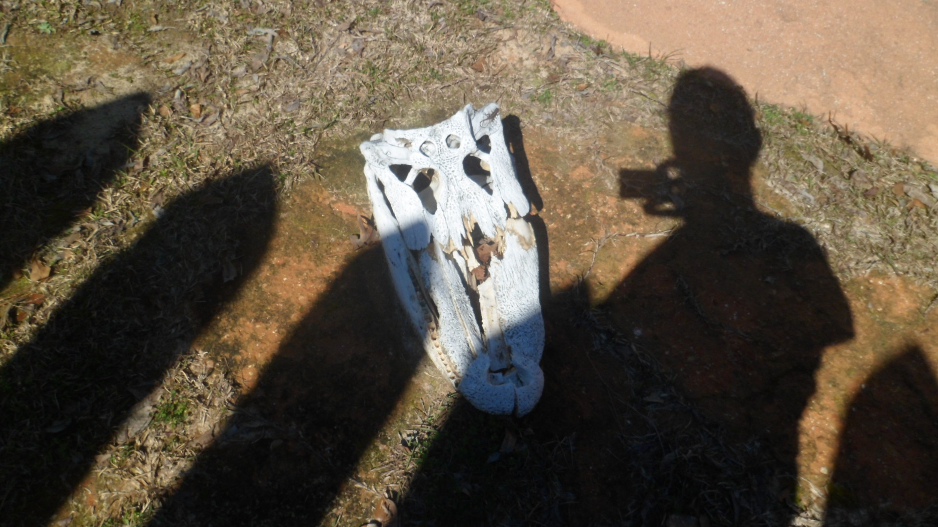
This alligator skull graces the northwest corner of the fort grounds.

SAM_3974

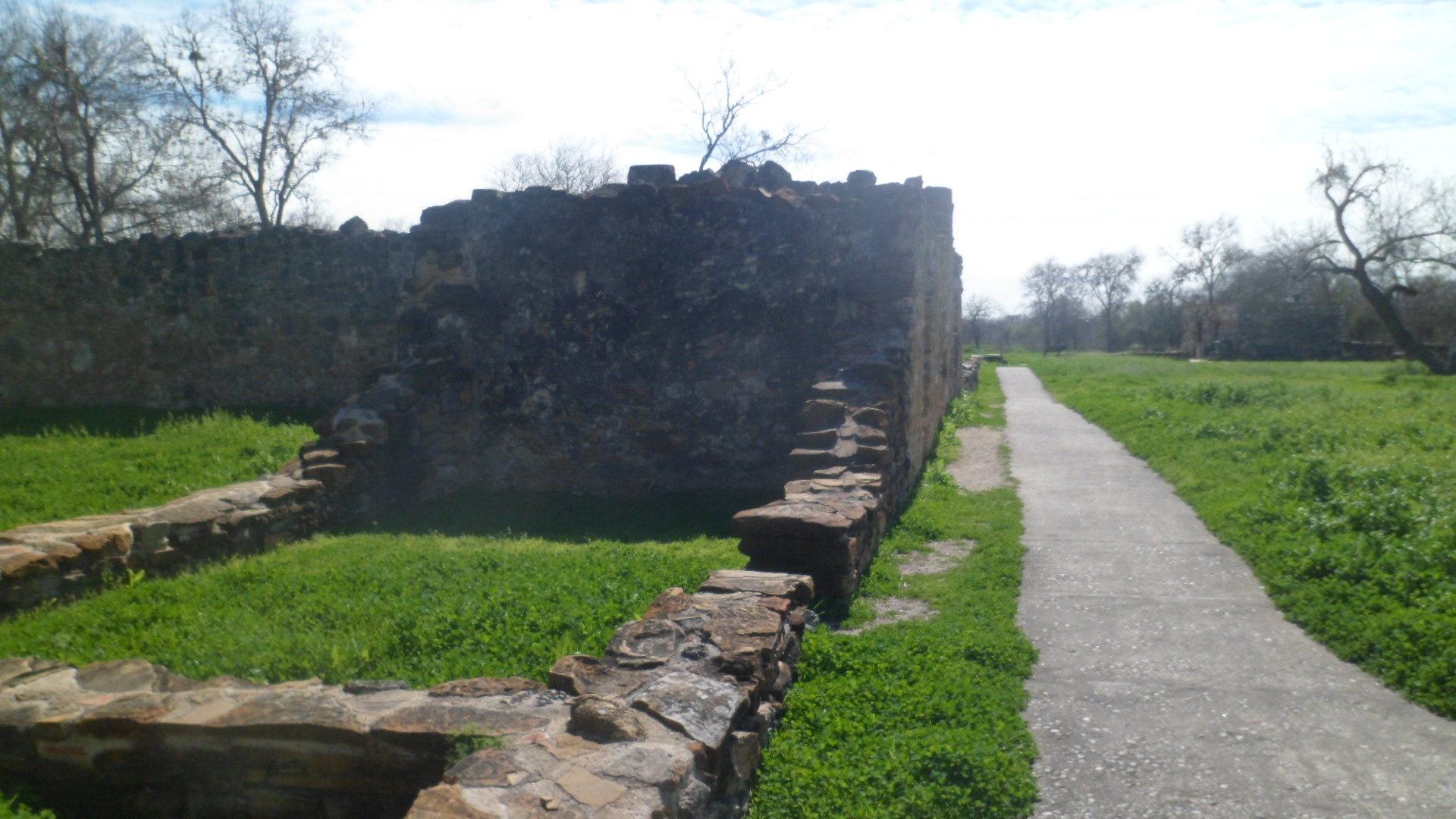
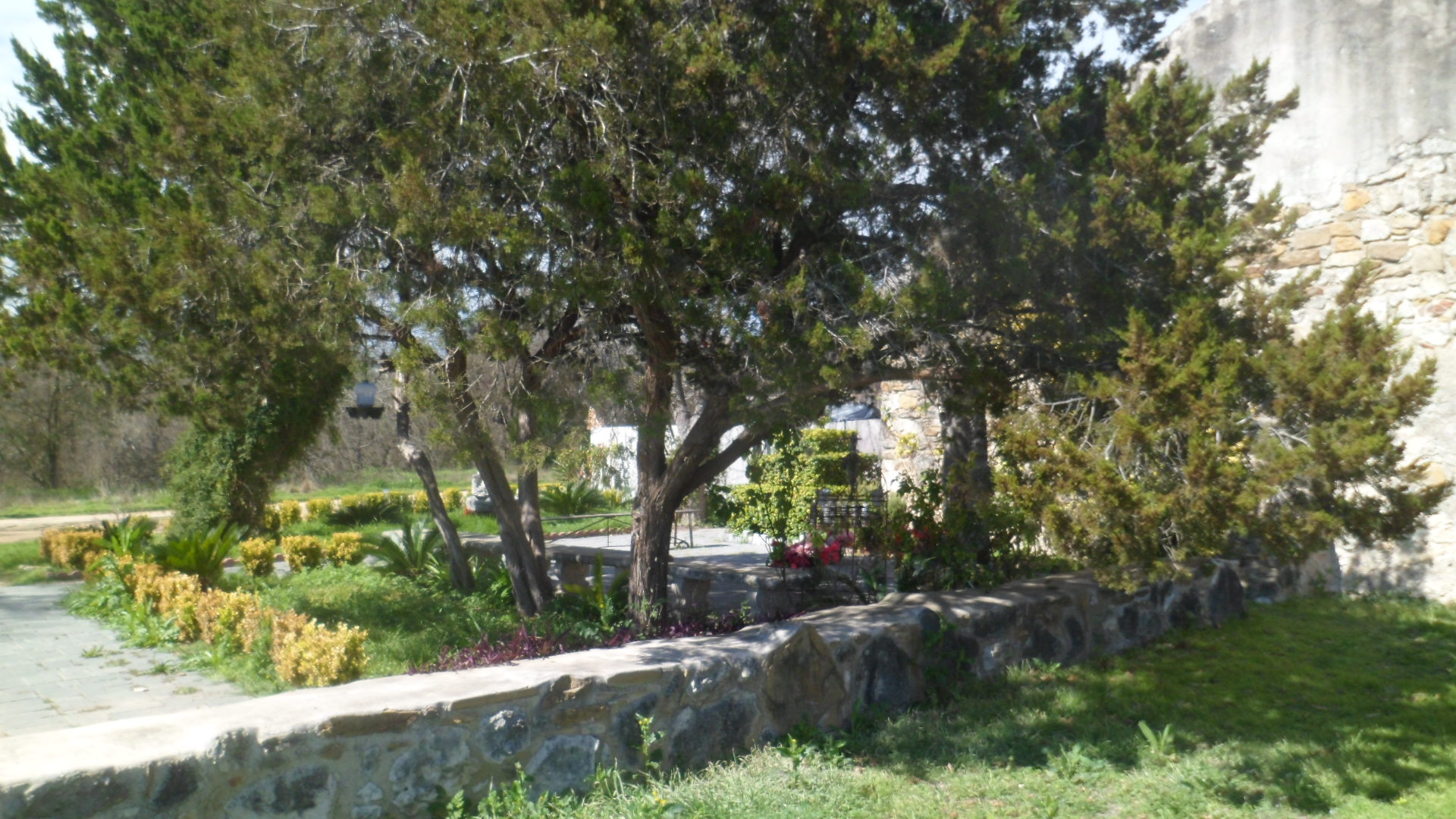
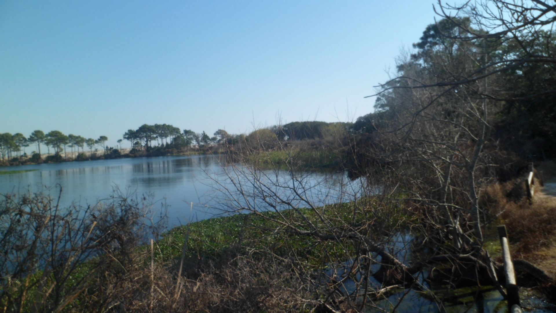
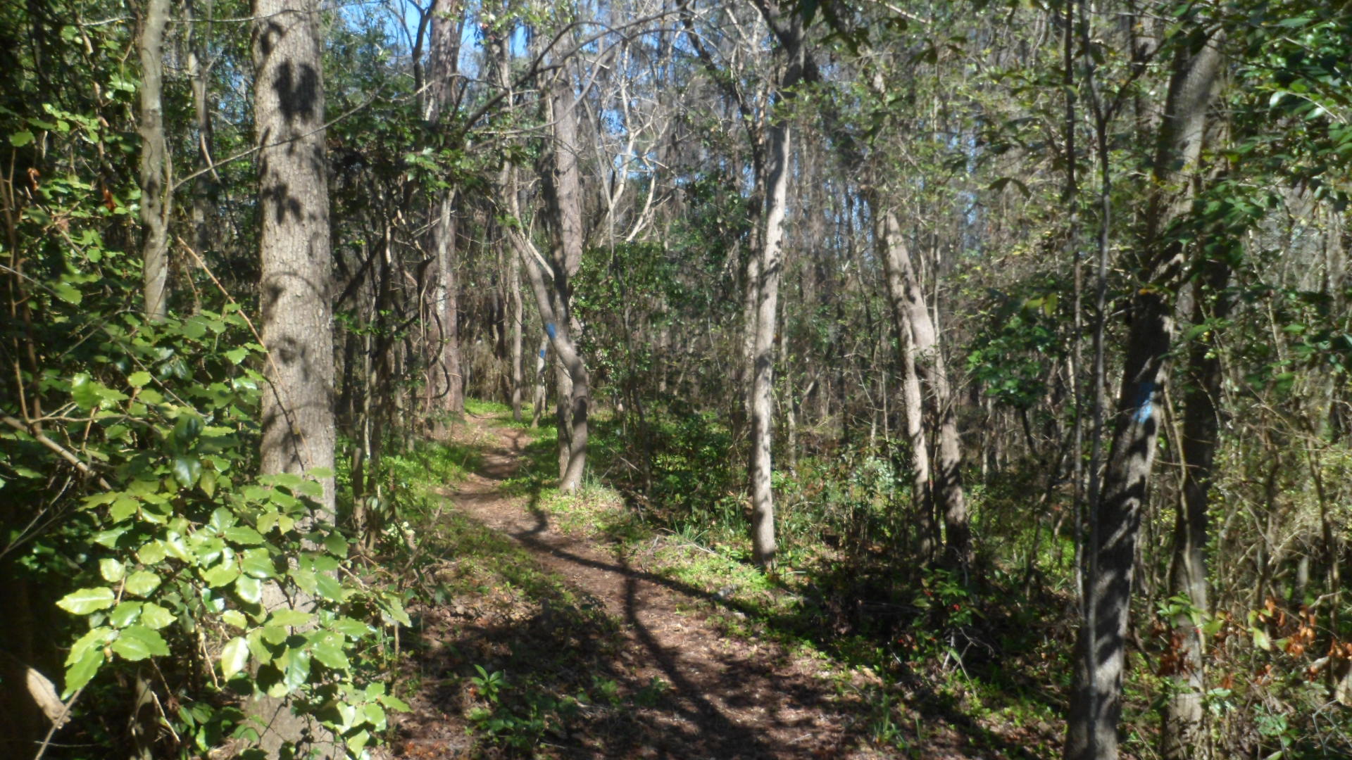
A nature trail borders the southern edge of the Mission grounds.

SAM_3976

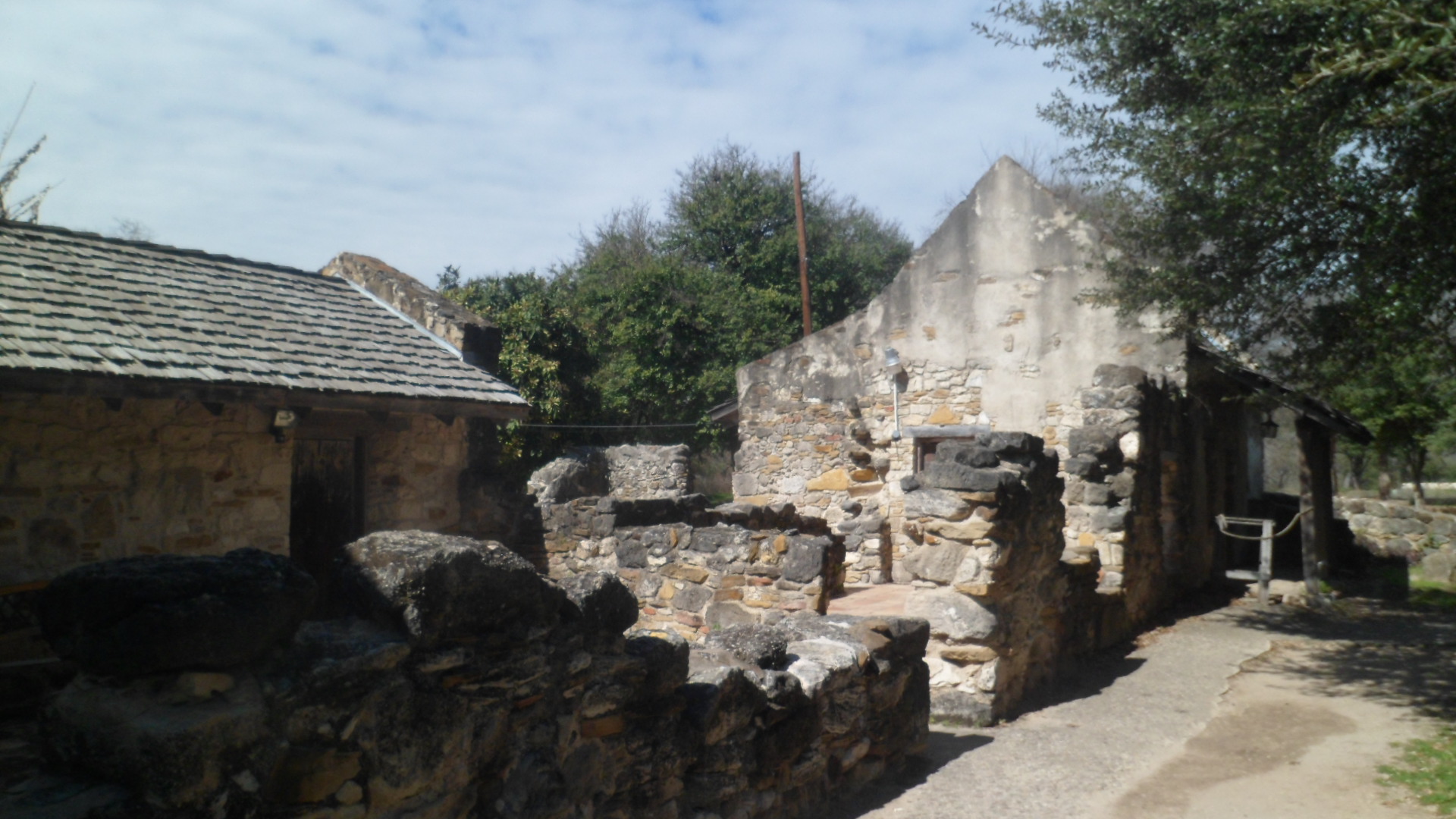
This spring house was built by American planters, and abandoned in the 1930’s.SAM_3983

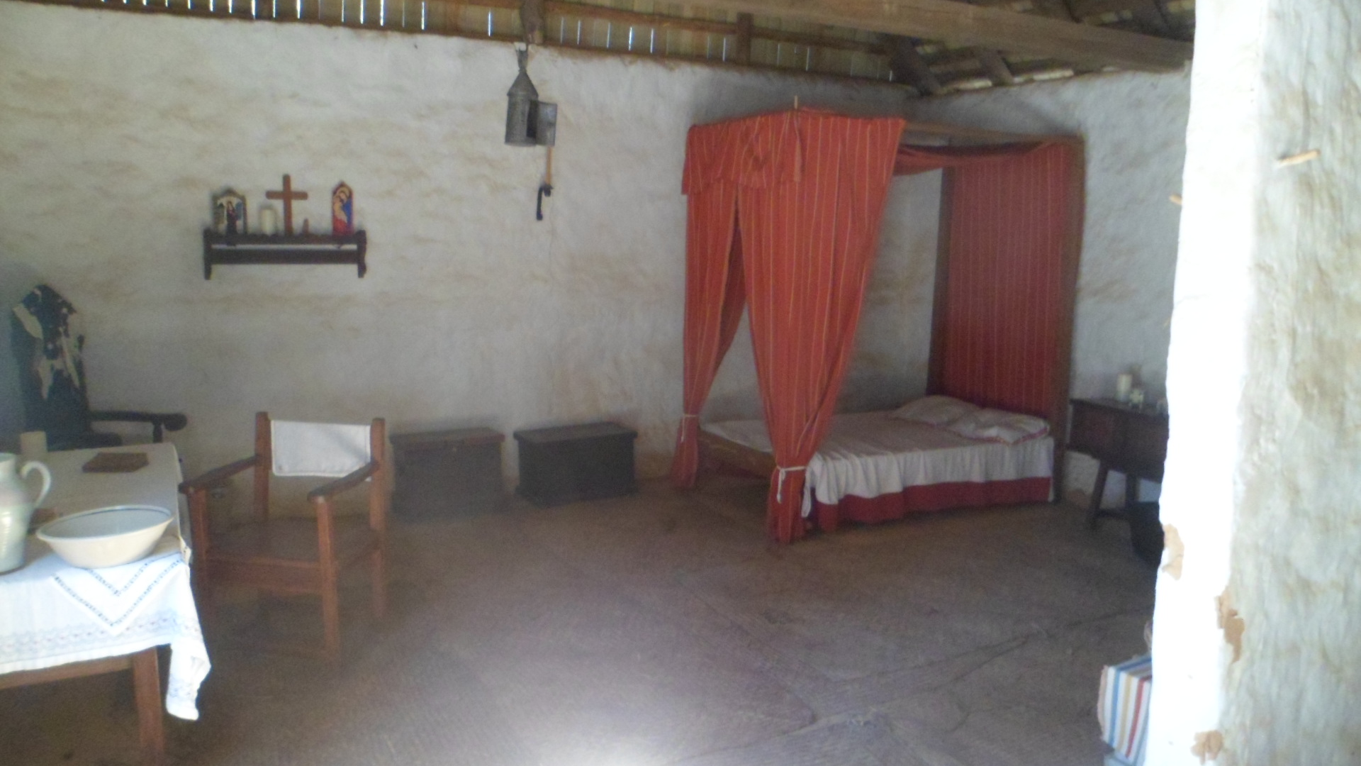
The house of the Deputy Governor houses His Excellency, his wife and at least five of their ten children, at any given time.  The two adults slept in the tiny bed, the baby in a cradle and the older children on floor mats. A cook was on hand today, to explain the  extensive use of herbs, both for cooking and to rid the house of odors.  She also showed the carpentry area, where wooden spoons, as well as furniture, were produced.  Ceramics of the Apalachee were rounded; those of the Spanish were flat.SAM_3992

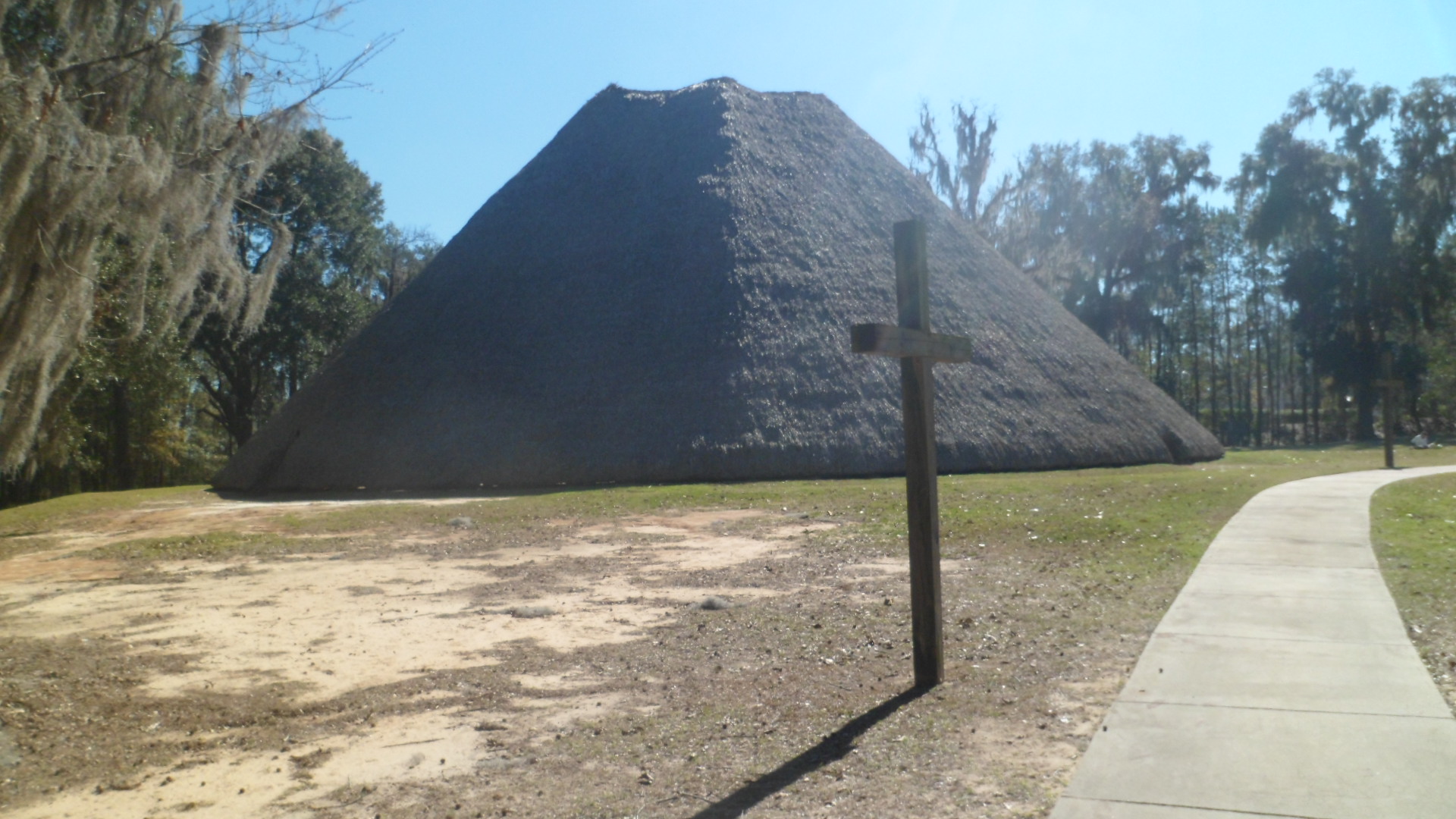
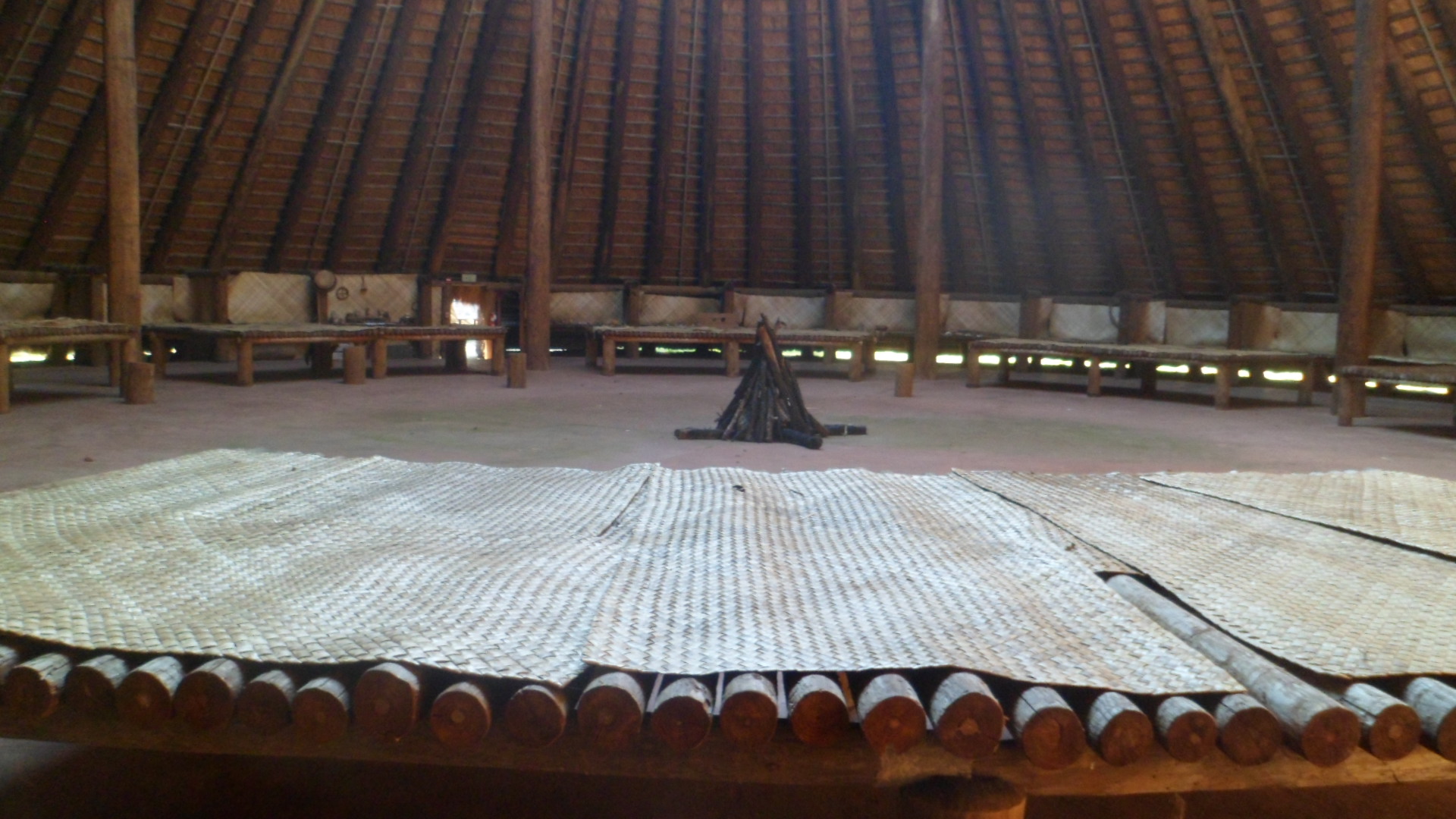
Here is the Apalachee Council House.  Like public buildings today, it was a regular gathering place for the community, and could hold as many as 2,000 people.

SAM_3995

There was one entrance, warriors checked their weapons at the door, greeted the Chief, who sat on the highest platform, and sat either on lower platforms or on the floor.

SAM_3998

Deer skins were used to cover the Chief’s and Elders’ platforms.

SAM_4001

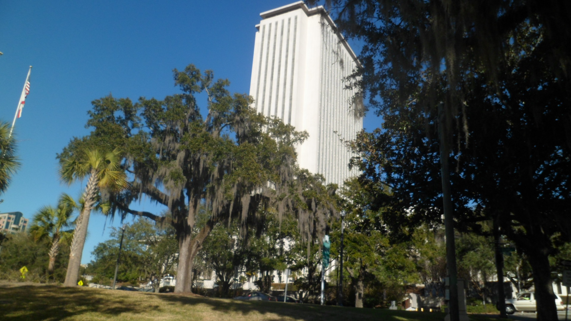
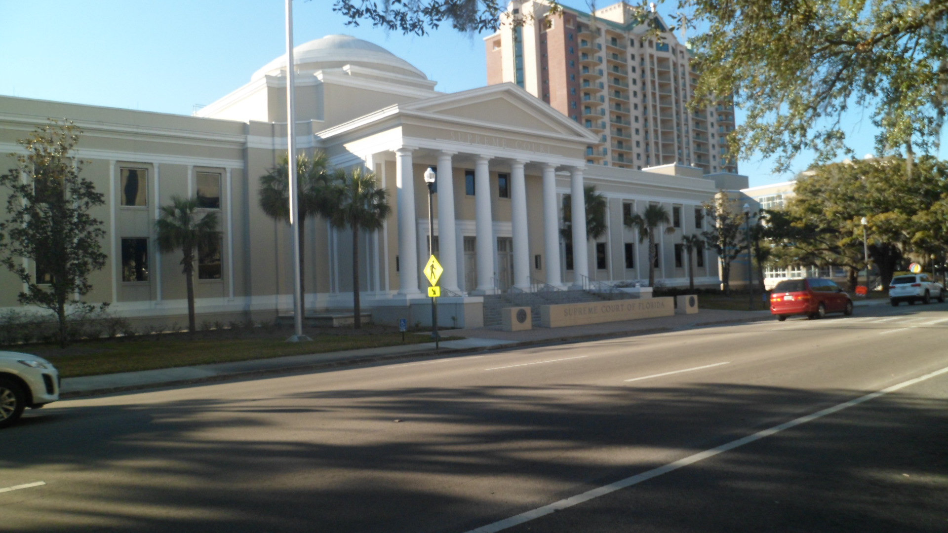
For contrast, here are the Florida State Capitol and Supreme Court buildings.

SAM_4012

SAM_4013

There is a lot about the early peoples of Florida that we have yet to decipher, and from which we could still learn.

The Road to 65, Mile 73: Light on The Water

12

February 9, 2015, Daphne, AL to Lynn Haven, FL- The Gulf of Mexico region is largely about the interplay of water and earth.  Man can only influence either, just so much.  I looked at the weather report, while eating breakfast at Key West Inn, in Fairhope, just south of Mobile.  There were scenes, straight from my childhood, of a New England that is overinundated with snow.  It was not just my imagination that the white piles were the height of two grown men.  Winter has returned, and as I regarded the bright sunshine outside, it occurred to me, “Plow it all into the sea; neutralize the acidity”.

The Gulf, at least for the moment, does not have to deal with Old Man Winter.  It did face the onslaught of cold, in December.  Now, though, the Gulf welcomes the refugees of the Big Chill.  Several of my fellows in the breakfast room were from places like Wausau, WI (There is also a Wausau, FL), Lima, OH and Bangor, ME.  Fairhope, founded on fervor and belief, is still a place of safe haven.

My first photos of the day were taken in nearby Daphne, as my initial concern was to connect with a friend on the Florida Panhandle, about three hours further east.  Daphne has narrow roads, and in the style of the rural South, no streetside parking.  This is not your tourist Antebellum-land.  Daphne City Hall, though, is magnificent and has plenty of parking space.

SAM_3873

This great laurel tree predates City Hall.

SAM_3874

The town is named for the wife of its founder, who, in turn, proposed this statue of the Greek nymph, for whom she was named.  The original Daphne, so closely associated with fountains, is true to form here.

SAM_3875

I left Alabama behind, for several days, entering Florida just west of Pensacola.  The Welcome Center is fully-stocked with all things Sunshine State, including palm trees.

SAM_3876

Florida has some of the oldest European settlements in this country, but is also an integral part of Man’s looking heavenward.  Pensacola is key player in aeronautics.

SAM_3877

I had lunch at the local branch of Sonny’s, a regional chain of barbecue restaurants, with smoked turkey and slaw lovingly served by Brittany.  Then, it was onward towards the Panama City area, with just a stop at a rest area near the turn-off to Destin, intervening.  Florida’s Northwest is quite heavily-forested, and this grove evokes the turpentine “forests” I saw four years ago, near Live Oak.

SAM_3879

The inlets of the Gulf are a major draw, once one gets about twenty miles below I-10.  Lynn Haven, just north of Panama City, is a lovely water-based community on the island that includes PC. I spent about an hour or so at Porter Park, on the north side of Lynn Haven, enjoying the water scenes and a walking path, parallel to the Causeway connecting Panama City Island to the mainland.

SAM_3880

SAM_3882

Light and sparkle abound here.SAM_3885

SAM_3888

SAM_3891

Florida depends greatly on fishing, both recreational and commercial.  With an eye towards the safety of marine life, as well as keeping eyesores to a minimum, the State and its cities provide these.

SAM_3890

With darkness approaching, I abandoned, at least for the day, the thought of connecting with a friend who lives here and caught a glimpse of sunset, at The Cove, in Panama City.

SAM_3892

It was time to head further east, in preparation for my main focus of the next few days- visiting my mother-in-law and my late wife’s cousin, near Leesburg.  I ended the day at an Econolodge, just east of Tallahassee.

The Road to 65, Mile 59: Heaven Sent

6

January 26, 2015, Prescott- An asteroid, replete with its own tiny moon, zipped past us today.  As our area was overcast, no one here would have been the wiser, had it not been for the media making several references.  Apparently, Russia, Australia and the midmost Pacific Ocean were all spared, as was the rest of the planet.  God knows, we need no more extinctions or disasters, given that there are plenty of both happening, almost on a daily basis.

The last five Northern White Rhinoceros are being prepped for DNA extractions, in hopes that a female Southern White Rhino might be a surrogate mother of an IVF Northern White Rhino baby, or two.  In order for the population to be restored, however, one would imagine the process would have to be repeated at least four more times. I mention this, because we tend to think of life as being subject to human whim.

This is a peculiar narcissism.  Life happened so long before any creature resembling us was more than a part of the Creative Force’s long-range plan.  We have the power to undo so much, though, that I shudder at the tendency of some to look at profit as the sole determinant of who, or what, lives and dies.  Mass extinction, though, would seem to require far more.

It could be that someday the  planet will be visited by an orb large enough to bring about a “night” of three to six months.  There will, no doubt, be human and animal survivors of such a dreadful occasion, just as there were animals which thrived, even after the asteroid which most likely precipitated the demise of the dinosaurs, as the fossil record revealed them to be.

Through it all, I hope that people will look upwards, at the noonday Sun and at the bright moon and stars of night, and remember that, as life was generated, seemingly from nothing, so many eons ago, any acts of ours which extinguish one living flame will be answered by a new torch of life.

The Road to 65, Mile 57: Back Among the Saddled, Again

9

January 24, 2015, Bumble Bee, AZ- I found, late this morning, that I had previously reached the trail head of Antelope Springs- Hidden Treasure segment of the Black Canyon National Recreation Trail, which I am determined to complete, in segments, during this calendar year.  Gleefully, I headed out from the large water tank that marks Antelope Springs.

SAM_3762

The first mile, or so, of the trail is easy, flat and distinguished only by what is probably the northwesternmost sahuaro in Arizona.  All was quiet, too, which gave me the solitude I craved this noon, after a week of earnest service to a homeless veteran and a class of Special Needs students.

While the trail stayed sanguine, the rocks were the star attractions.  Smooth quartz, mostly milky white, was dispersed along the way- with a couple fields of shattered shards.  Other pieces were marbled with granite, or infused with iron.SAM_3766

SAM_3767

SAM_3771

A surprise came, around the first mile point, in the form of a large boulder of blue granite.SAM_3772

Then there were lots more broken bits of silica.SAM_3785

The trail began to get more rugged around the area where Hidden Treasure Mine was supposed to be.  I found no indication of the mine, which is probably just as well.SAM_3787

I did find an ominous hooded figure, but it was merely a standing bit of granite.SAM_3793

In Government Canyon, where I took a brief rest, around Mile 4, I saw a marbled granite gem.SAM_3800

The trail kept on rising, then began to descend towards Bumble Bee and Bland Hill Road, around Mile 5.SAM_3805

Sahuaro are a bit more numerous in this area, and face the ravages of being approached by the occasional errant horse, or human.  There were plenty of both along the trail today.  It was a gorgeous day, and about two dozen horses, with both Western and English riders, happened along.  I picked up a shoe that one of the animals had lost, and the group later gave it to me as a souvenir.  About eight bicyclists also enjoyed the trail.SAM_3806

I took note of the next starting point, at mile 6.2, just a mile or so west of Bumble Bee, an old mining town that is now home to about two dozen intrepid families.SAM_3811

Off to the southeast, and up on a steep hill, I could see Sunset Point, the major highway rest area, on I-17, between Phoenix and the turnoff to Prescott.

SAM_3812

Heading back to the water tank, I spotted twoformations, in different light.

SAM_3816

This outcropping contained a marker for stockmen to keep their animals in single file, as if they needed any such cue, on this trail.SAM_3817

So it went, that I completed not one, but two, segments of this well-worn trail.  Next segment will take me from Bumble Bee to Black Canyon City, sometime in late February.