The Road to 65, Mile 55: Challenges

5

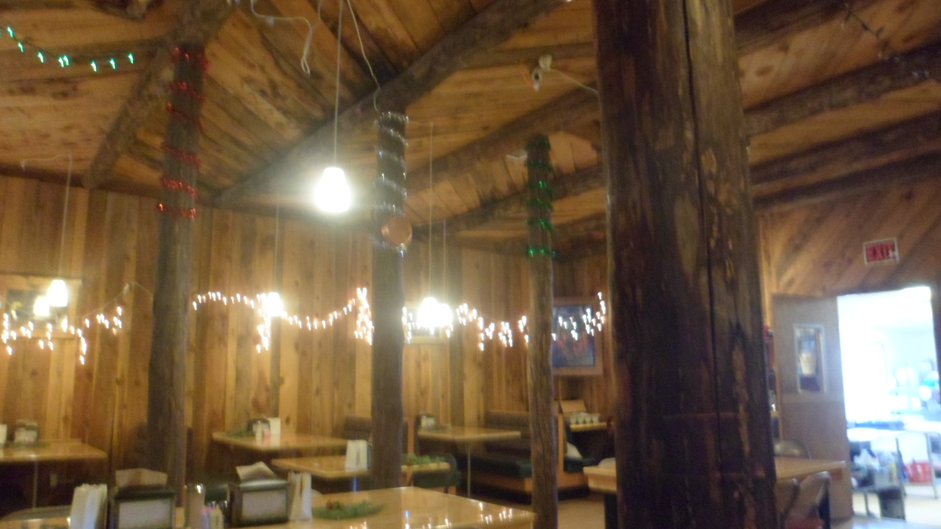
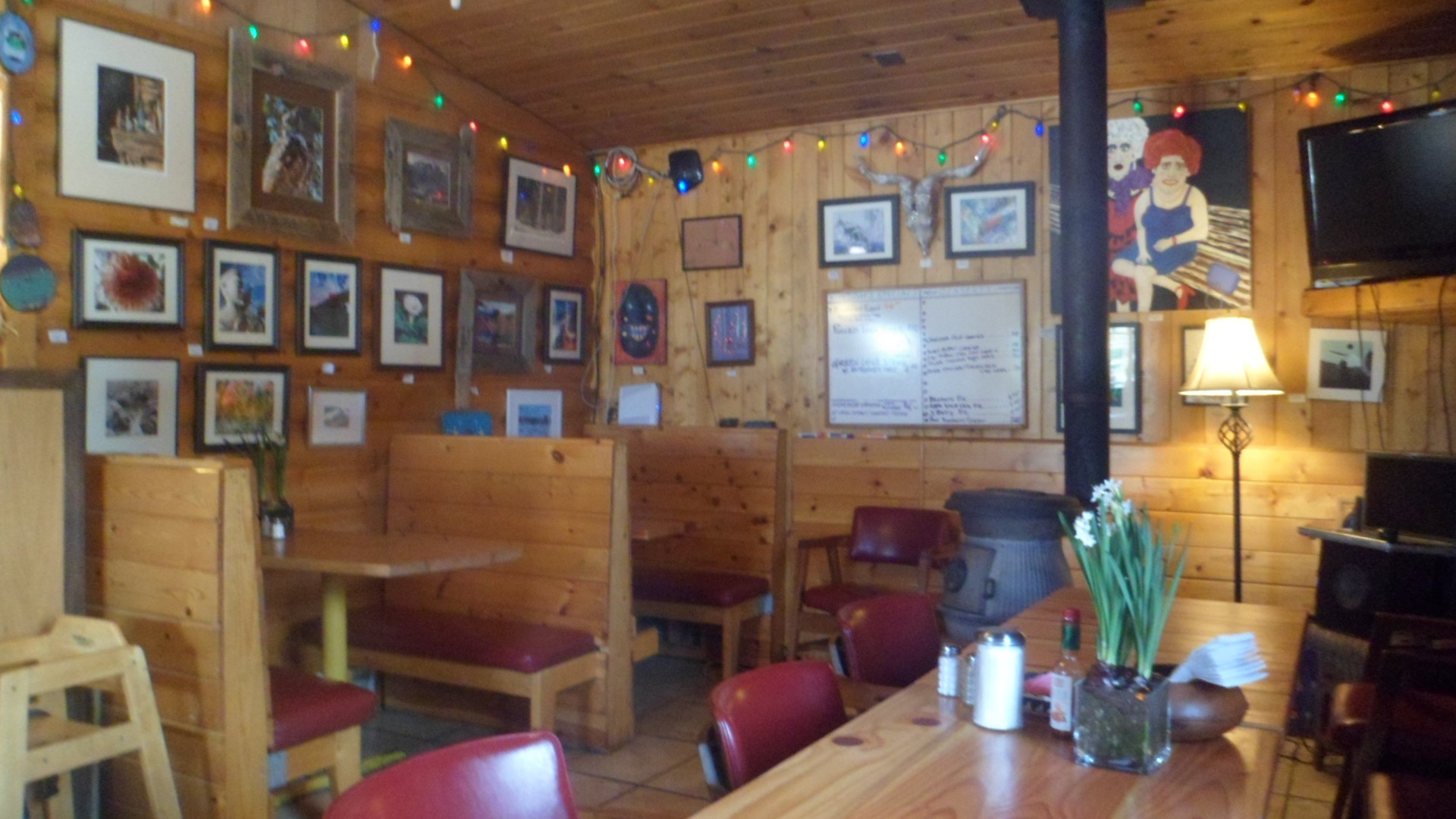
January 22, 2015, Prescott- I got a call at 5:38 AM, got out of bed, fumbled with the phone, hit the wrong button, and ended up with no work today.  It always goes the way it is supposed to go, though.  While I won’t earn money from today’s activities, I did reassure a transient friend that he has allies in this community, got him where he needed to go, and spent some time with a friend in Prescott Valley, at a restaurant on the north side of the sprawling town.  The place is called The Chalk Board.  It’s a breakfast and lunch spot and has an inventive, well-prepared menu- like Soldi, here on the hilltop.  Several of us will probably gather there on Saturday morning, for breakfast.  I want to look for the trailhead where I left off of the Black Canyon Trail, last Spring, so a hearty breakfast, en route, will be a great start.

Slow days like this are a good time to look at challenges that lie ahead.  So, between now and the end of May, I have these:

Work- The full-time job will happen, if it’s meant to, by the end of February.  Otherwise, I will show up at every charter school in Prescott and Chino Valley, give them each a copy of my sub certificate, focus on building my Essential Oils business (which I’ll do, anyway) and sock money away.

Service- I am with the Red Cross as a volunteer, regardless.  American Legion? My continuing there, past May, will depend on the political climate.  Right now, it looks iffy.  Prescott Family Shelter is on my volunteer radar screen, also, unless I get full-time work.

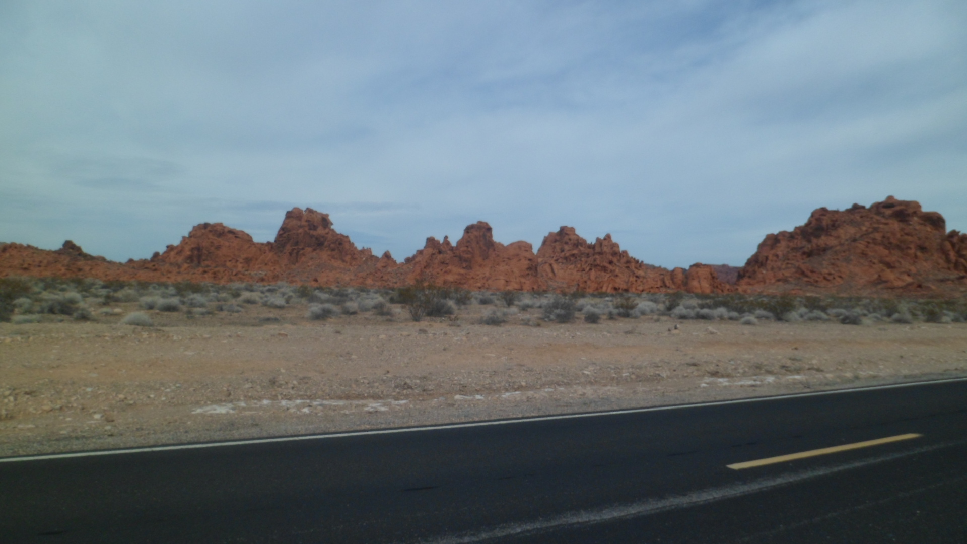
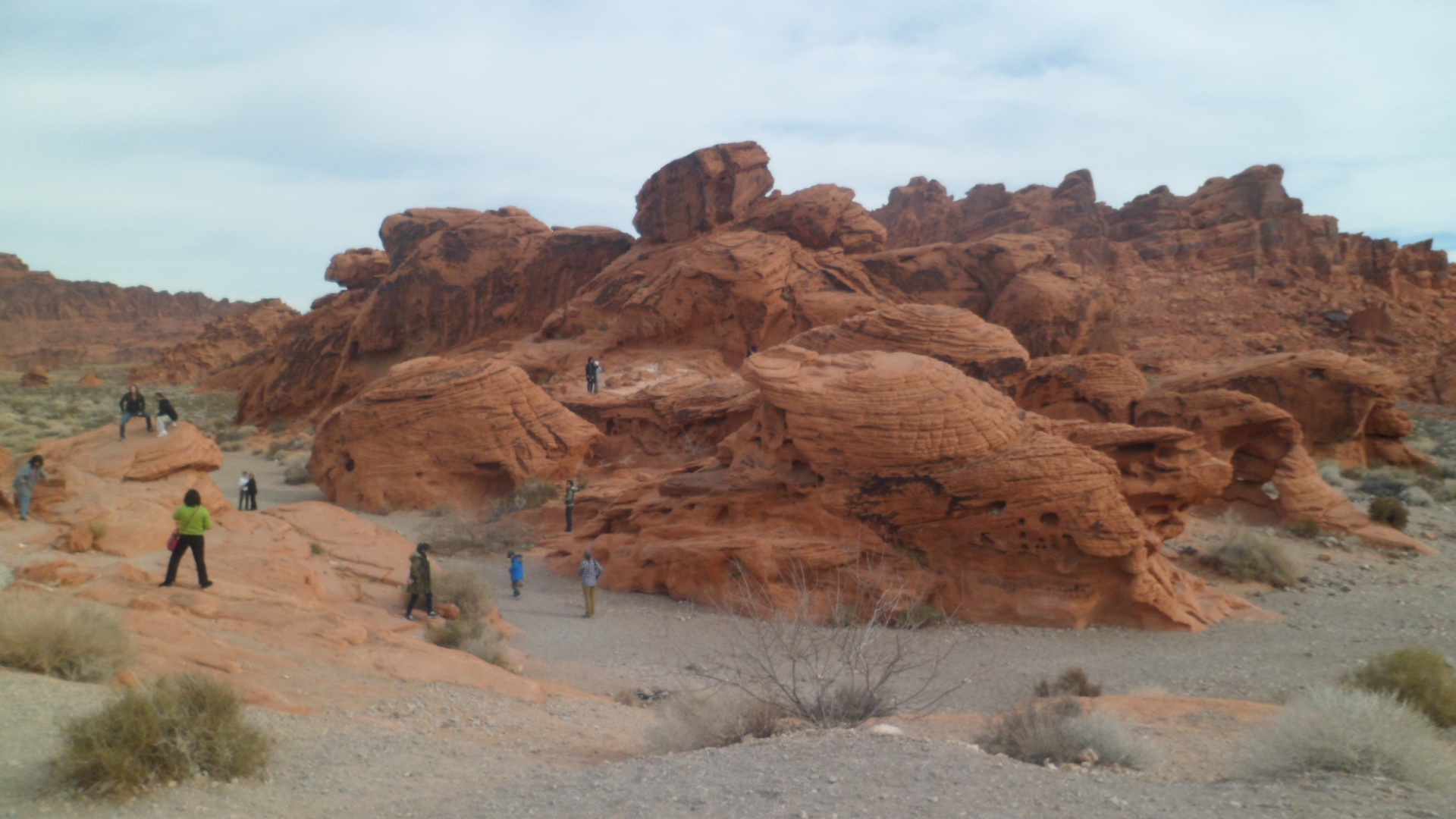
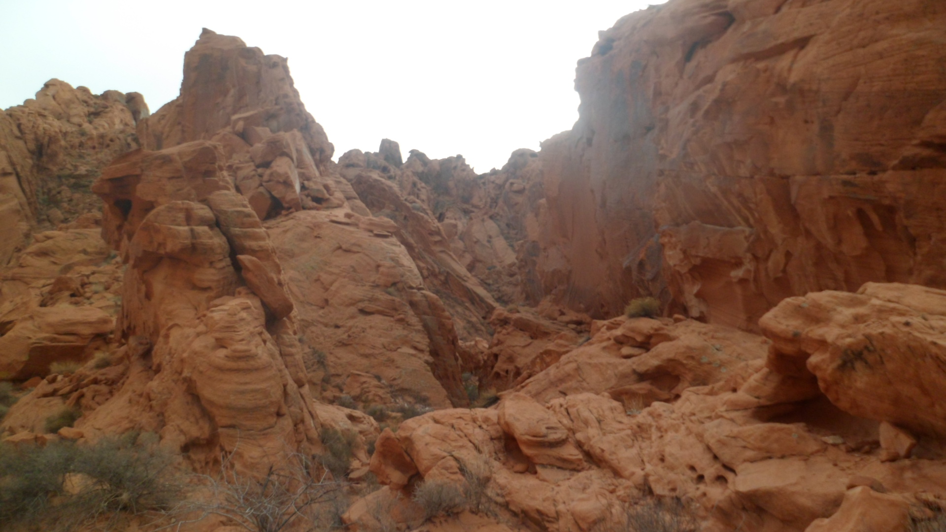
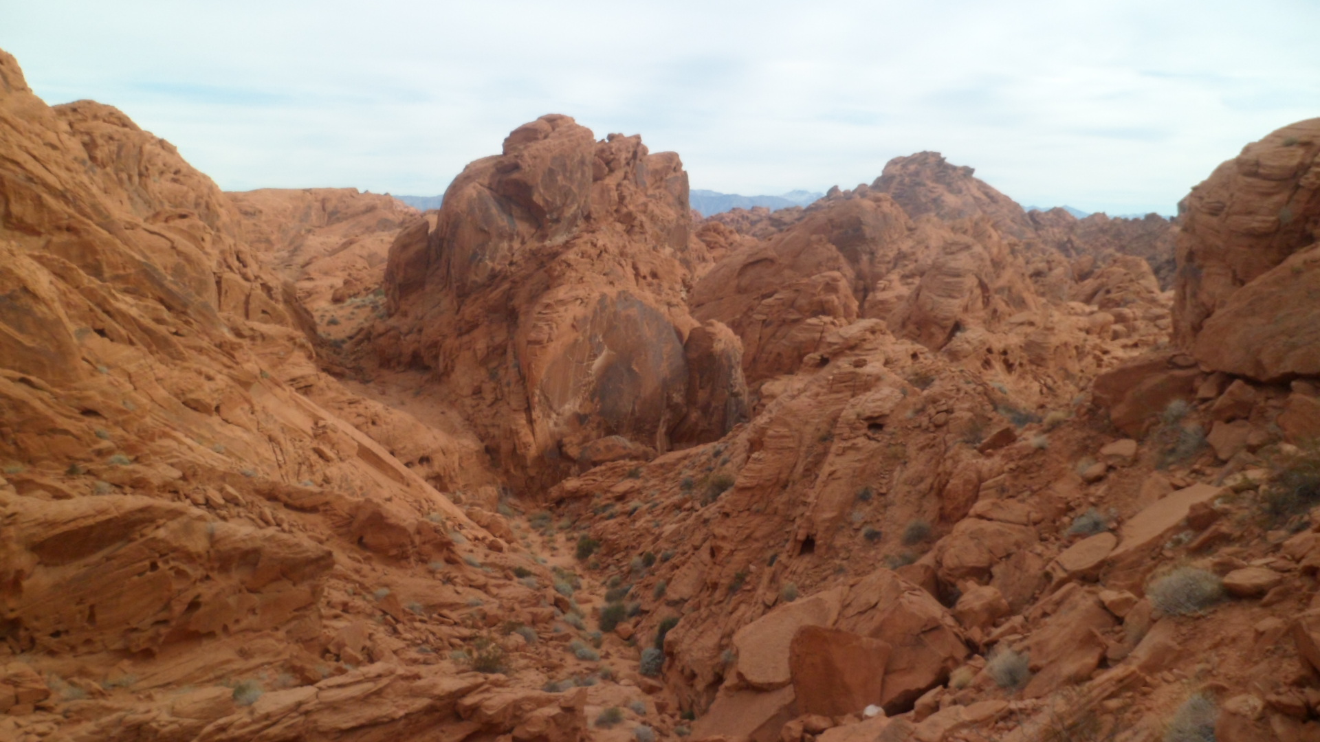
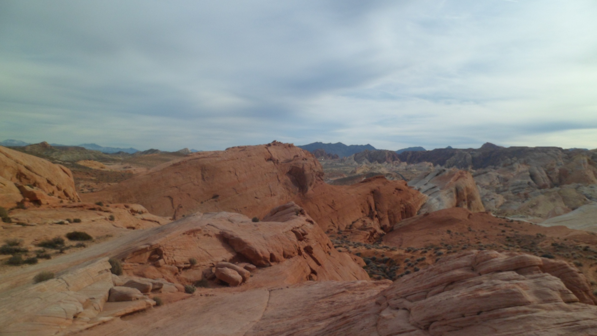
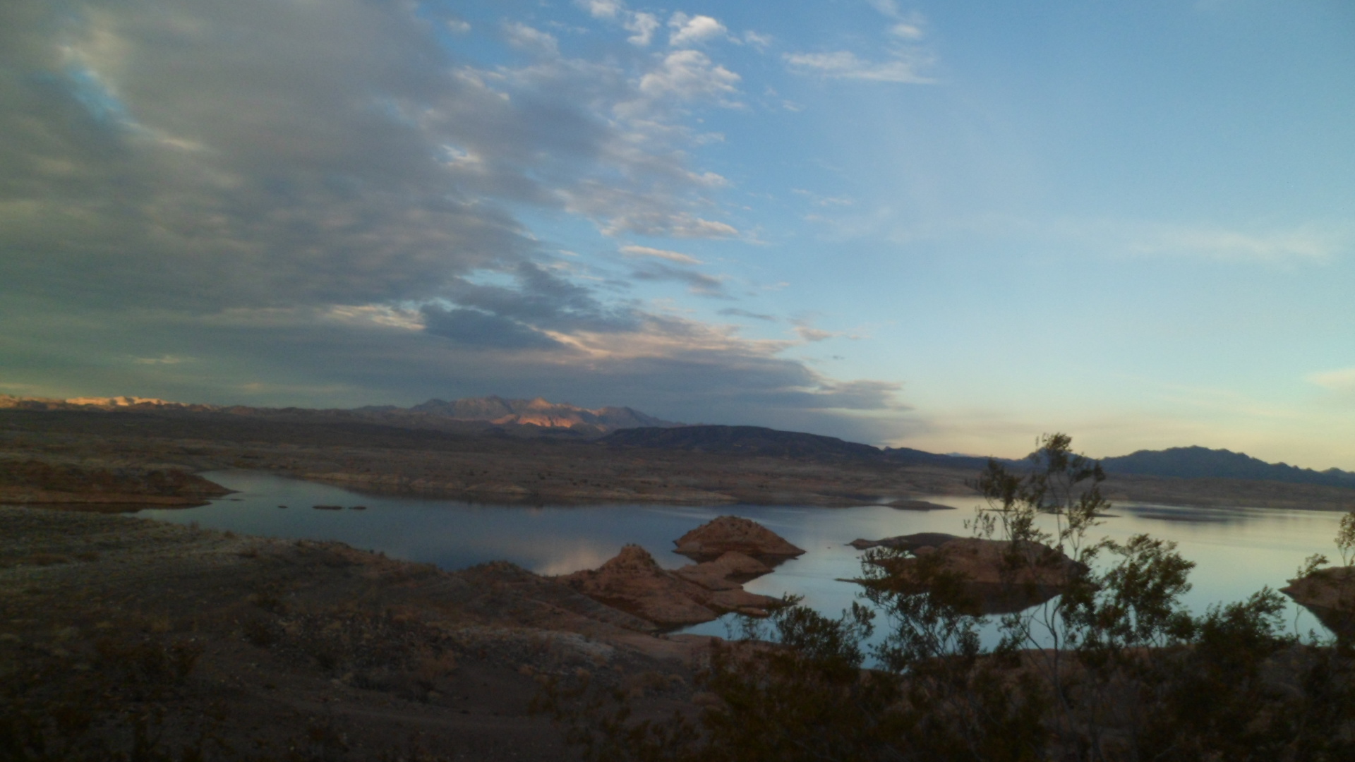
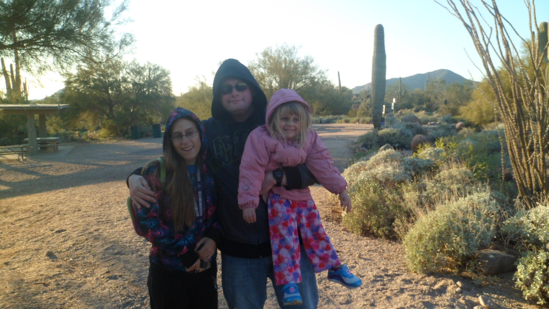
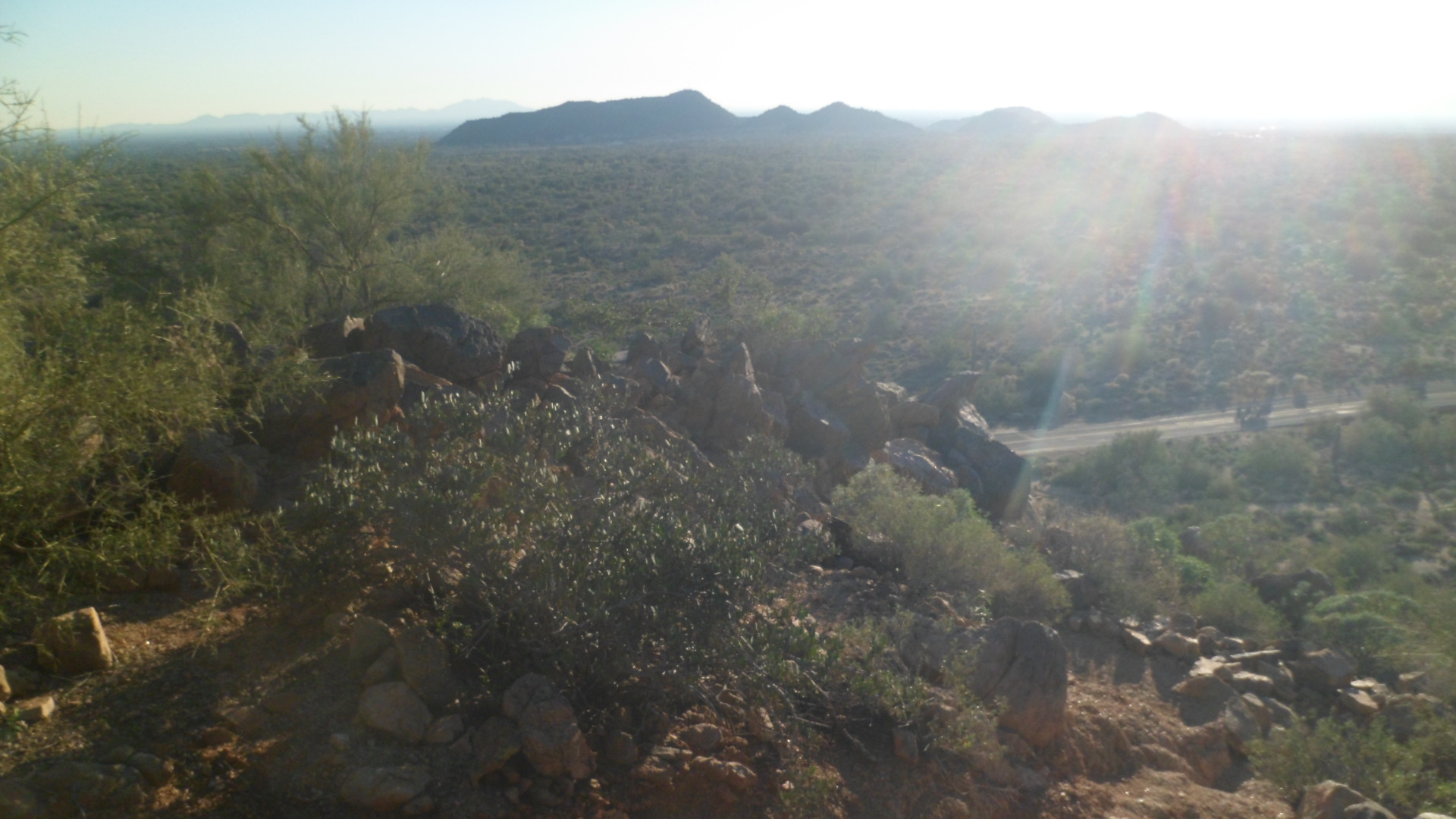
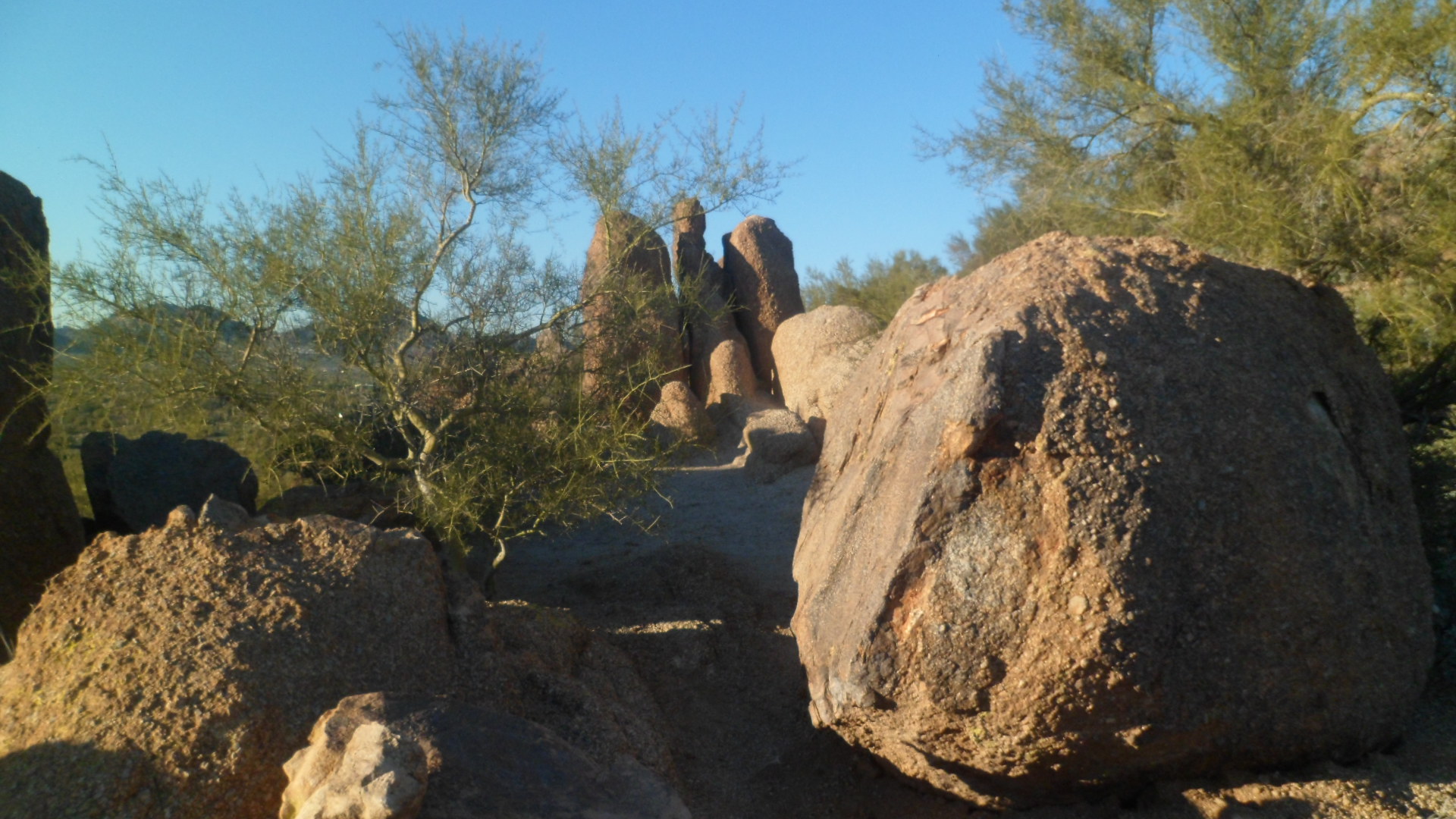
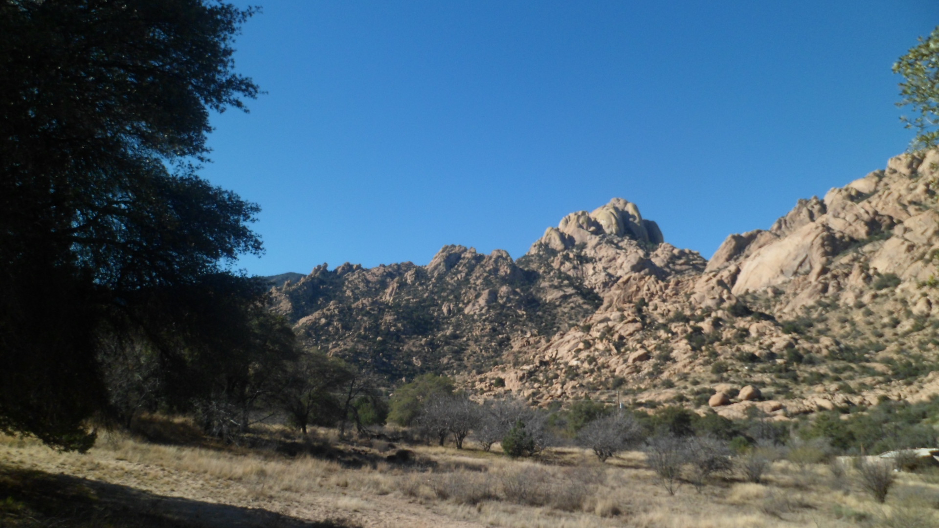
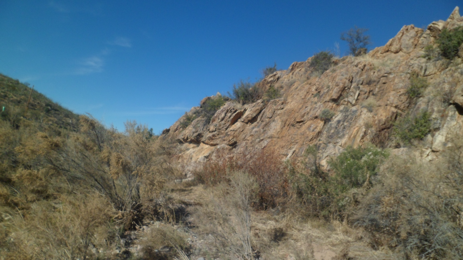
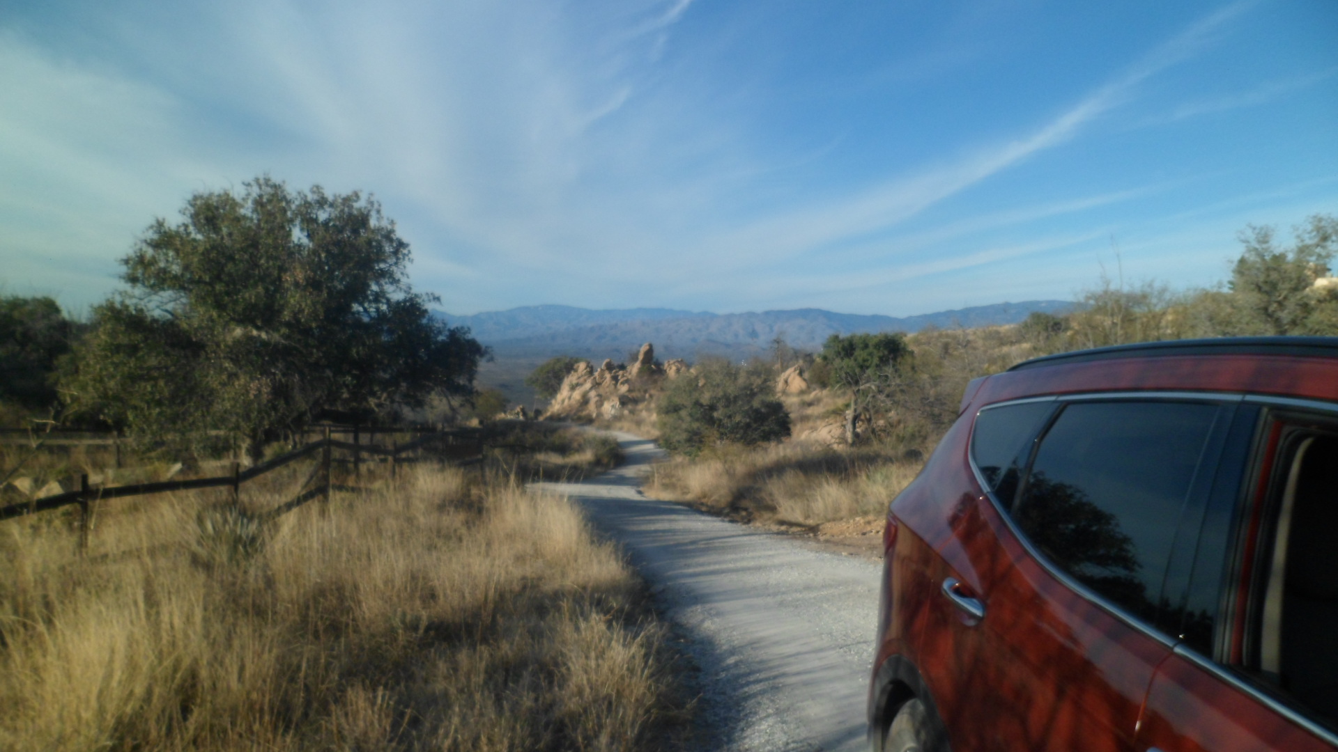
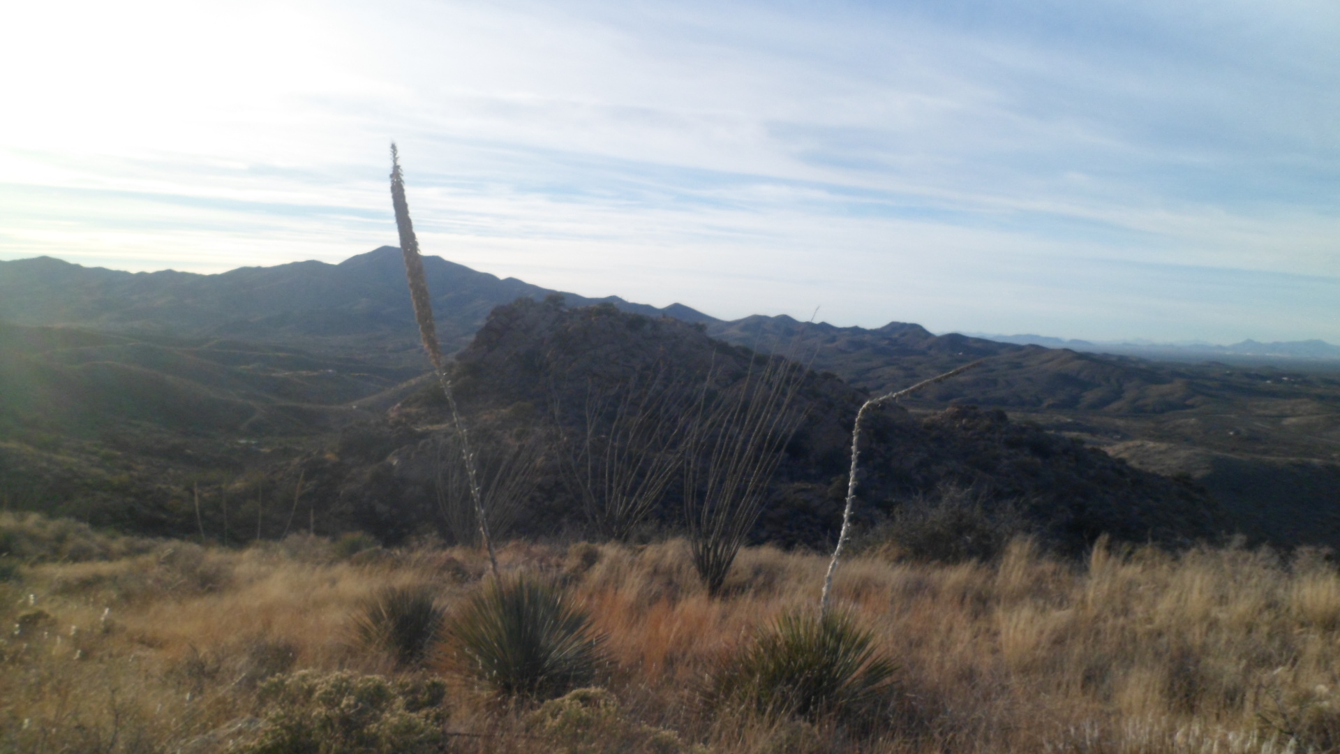
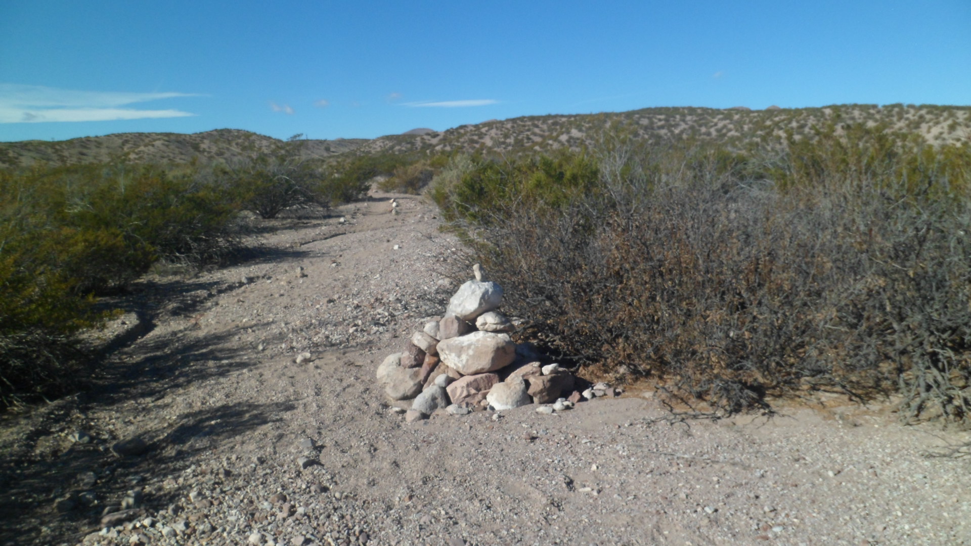
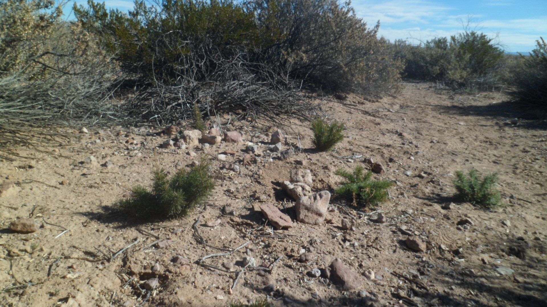
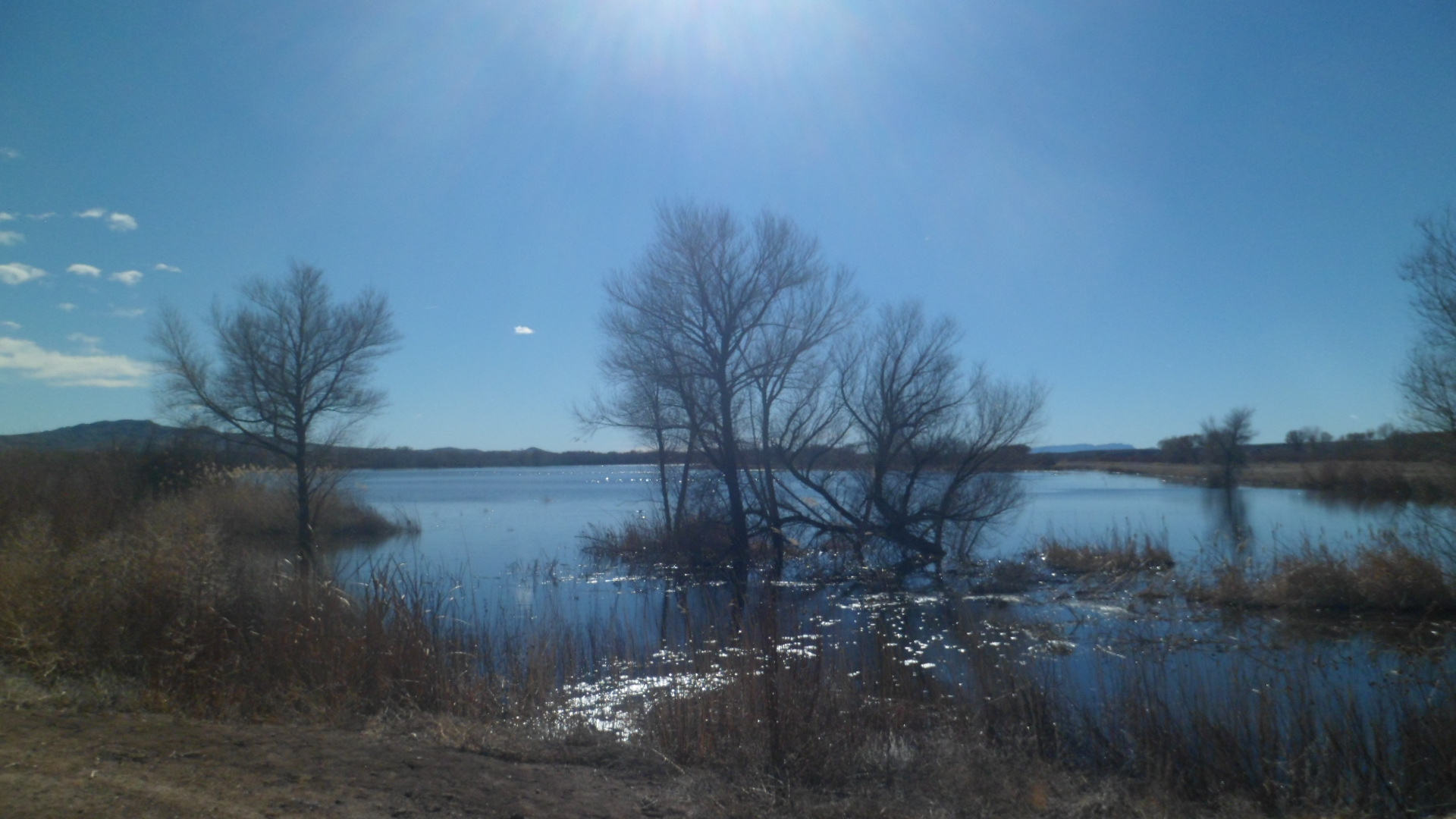
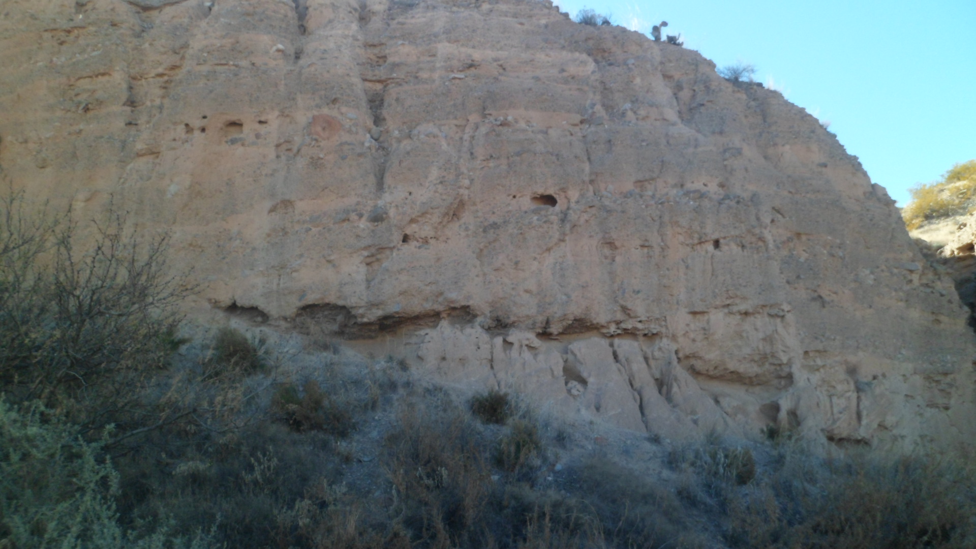
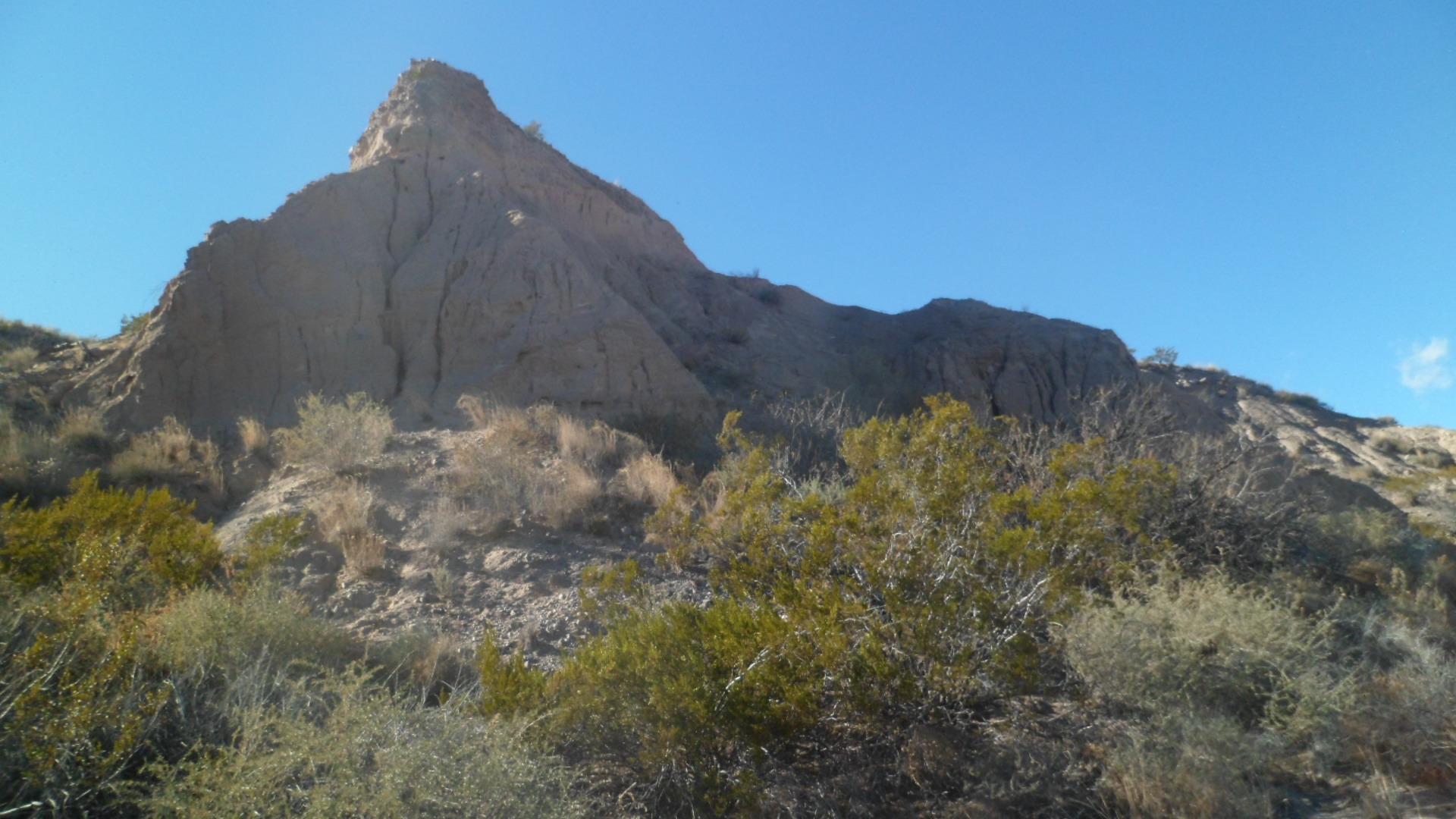
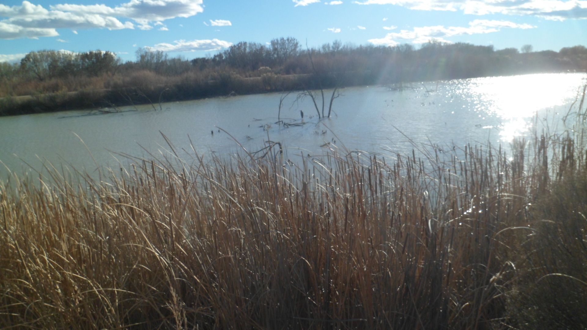
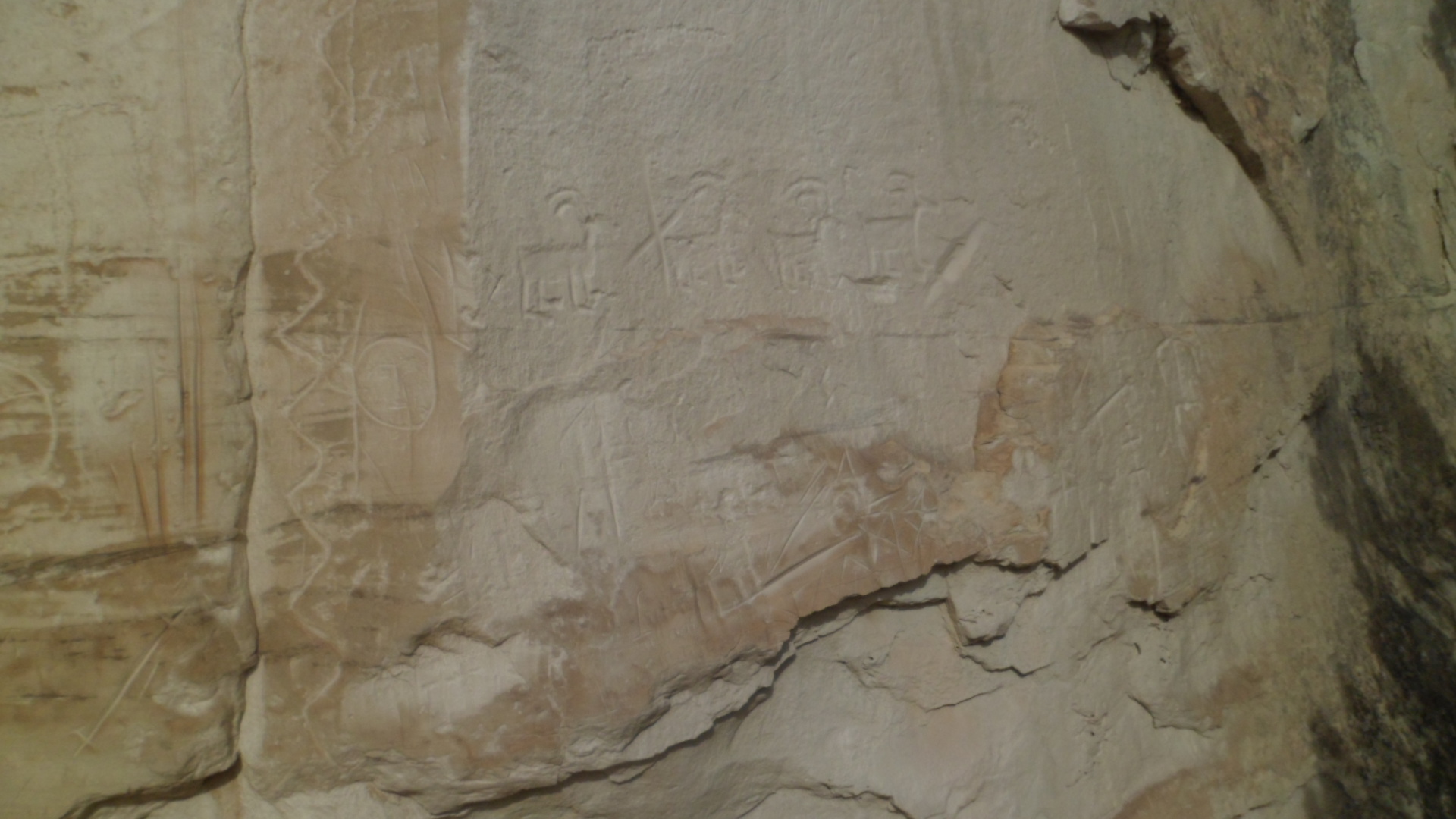
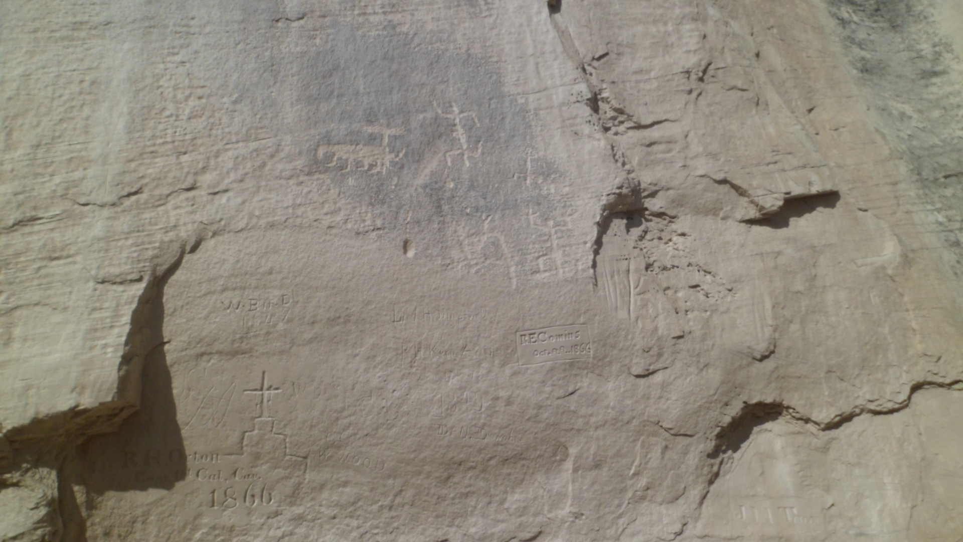
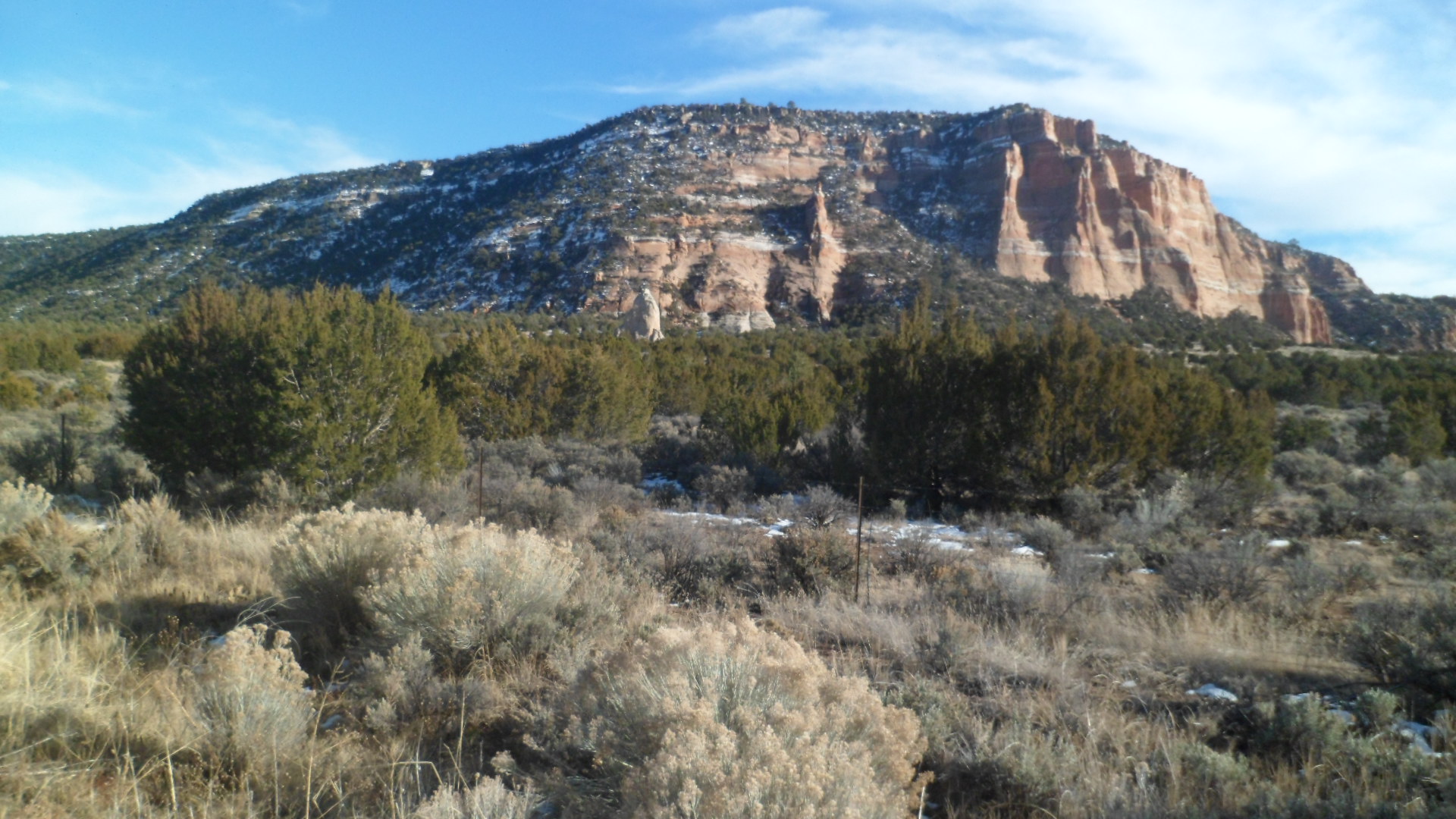
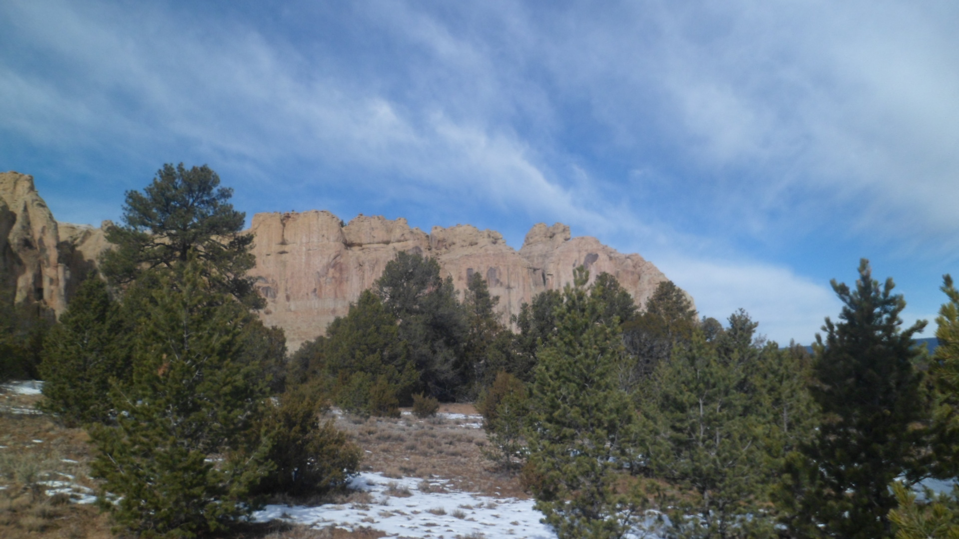
Recreation and Travel- Colorado, next weekend, is my most immediate focus- for a  Winter Summit.  Texas, the Gulf Coast and central Florida follow, from Feb. 6-17.  My MIL has a birthday during that time, in Leesburg.  Weekend hikes will be many, from mid-February until late May:  Continuing down the Black Canyon, McDowell Mountains’ Pemberton Trail(Scottsdale), Spur Cross Ranch (Cave Creek),Kendrick Peak (west of Flagstaff), Tucson’s Sahuaro National Park-West Unit, a few more places in Sedona and the rest of Tonto Natural Bridge State Park’s trails.  Then, there are the hikes I will no doubt take, on the spur of the moment.

Faith- Baha’i, like random acts of service, makes up the built-in cabinets and shelving of my Life House.  My growth, and that of the community, will continue in tandem with all of the above.

These may seem like trifling challenges, and they are.  Then again, I’m autistic.  Everything is a challenge.

The Road to 65, Mile 43: Wild

5

January 10, 2015, Prescott-  It has been, and remains, a dream of mine to hike at least one of the great north-south trails that grace our country.  Before the need to replenish my coffers arose, I had a plan to traverse the Appalachian Trail and Pacific Crest Trail in back-to-back years, 2018-19.  For various reasons, this particular pair of endeavours will wait until I am in my seventies- and it’ll happen, along with some other treks, during that decade, unless the Universe decrees otherwise.  Since this change of plans occurred to me in a dream-like state though, several weeks ago, I think it’ll hold.

Last night, I watched “Wild”, with Reese Witherspoon as the wild child who was tamed by the PCT.  As many of my travels have been inspired by visions of my late wife, so was Cheryl Strayed’s time on the Pacific Crest Trail spurred by thoughts of her mother, who had died of cancer, a few years before.  I could identify with her disquiet, on a number of levels.  Though I never had a serious hard-drug problem, and my alcohol abuse was history well before our marriage, the serious lapses in judgement and difficulty with forming attachments that Cheryl displayed had parallels in my own life, and as recently as 2013.  The PCT tamed her inner beast (shadowed as it was by the fox in the film).  Extensive journeys around North America in 2011-13 and the northwest of Europe, as well as across the eastern Pacific, last year, brought my poisonous remnants to the surface and have established more clarity of vision.

Cheryl Strayed found stability afterward, in marriage and motherhood.  My own renewed stability is forming, not necessarily with another intimate relationship, but with the distinct possibility of finally taking charge of, and seeing through, a service-oriented project that will provide a modest and adequate income. Add to that the extra security offered by wellness advocacy, and the six years left of this decade will lend more credence to “Age is nothing but a number”.

The Road to 65, Mile 37: Visions of Mars

8

January 4, 2015, Valley of Fire, NV-  I checked my social media messages this morning, and found a post which compared the temperature on Mars with that in Minnesota.  Mars was reportedly warmer today.

I was reminded of our nearest planetary neighbour, once on the trails at Valley of Fire State Park, between Moapa and Overton, NV, northeast of Las Vegas.  As you will see further on in this post, red soil abounds there.

I started the day with a hearty breakfast at Comfort Inn, joined by a family who were driving to Colorado, from San Francisco.  They will have clear weather for their return, which is gratifying.  After tooling around Vegas,unsuccessfully, in search of a Wells-Fargo branch, I just bit the bullet, paid the ATM fees and headed up I-15 to Moapa and the park.

SAM_3601 I shortly came upon the reason for the park’s name.

SAM_3606 The Beehives are well-named, in more ways than one.

SAM_3608 Balancing Rock, near the Visitor Center, reminded me of a similar formation at Garden of the Gods, in Colorado Springs.

SAM_3625 SAM_3630 The otherworldiness of the Southwest is in full voice, in Mouse’s Tank, so-named for an outlaw who hid out in this canyon.  The westernmost Ancient Puebloans also settled here, in the 800’s.SAM_3641 SAM_3657 SAM_3660 The Tank itself was empty today.SAM_3667 Life in the Great Basin is always a balancing act.SAM_3670 I came next upon Rainbow Vista, so named for the striated Aztec sandstone found there.SAM_3684 The trail goes through a narrow, rough wash, to end with a gaze upon Fire Canyon.

SAM_3689 SAM_3690 SAM_3693 The apex of the journey into Valley of Fire was at White Domes, a mass of limestone and gypsum.SAM_3698 SAM_3699 Several distance hikers were in this area today.  Someday, I will be back and share their experience.  On the way back towards the Visitor Center, I caught a few glimpses of the blend of colours.

SAM_3705 Seven Sisters, a sandstone formation just south of the Visitor Center, is a popular picnic spot.SAM_3720

Near the East Entrance to the park, a memorial is set up to honour Sergeant John Clark, who perished here in 1915, while en route from Bakersfield to Salt Lake City.SAM_3731 Lake Mead National Recreation Area abuts Valley of Fire, to the southeast.  Its terrain has less of the Aztec sandstone and more limestone and gypsum.SAM_3740 The lake may be down, but it’s far from out. The scenery is still inspiring, especially around sunset.  I enjoyed several stops along the North Shore.

SAM_3750

SAM_3753 Sunset hit its true magnificence as I came upon White Hills, AZ, and Rosie’s Den Cafe.

SAM_3756 Rosie’s is another amazing serendipitous find.  A homey, relaxing spot, with well-prepared food and engaging waitresses, it’s perfectly positioned between Hoover Dam and Kingman.  A plus is that one of the waitresses is also a baker.  Tracey’s no-sugar added cherry pie hits the sweet spot, of the palate, that is.

One caution, being in a rural community:

SAM_3758

JK.  White Hills has a competent volunteer fire service. The stuff of holidays was still well in evidence.

SAM_3759 Rosie’s is definitely cracklin’.

SAM_3760

The Road to 65, Mile 35: The New Adults in the Room.

8

January 2, 2015, Mesa-  I keep looking at Millennials, my son’s generation, and seeing, on the one hand, my extended brood of children.  On the other hand, I’m in awe of how they are handling, as a generation, just about every task that has landed in their laps.

I went down to Mesa, Arizona’s third largest city, to spend the afternoon with my son, as he is winding up his holiday leave- spent with friends from his high school days.  We had a delectable lunch at Bavarian Pointe, a German eatery, as you might have deduced, going for a full meal-complete with soup, hot entrees and dessert crepes.  The waitress showered us with attention and I will recommend the place on Yelp!, which I don’t always do.

Our planned hike, at Usery Mountain Regional Park, in Mesa’s northeast corner, necessitated heading back to his friends’ house, and getting mother and daughter.  Daughter is 3 years old, so I suggested a hike in the foothills, which the little girl said she could “do easy”.  Well, she did it easily- uphill, downhill, 8/10 of a mile.  My son, his high school classmate and her daughter are shown below.

SAM_3598

Here are some scenes of the Merkle Hills, which we hiked.

SAM_3591

SAM_3592

SAM_3593

SAM_3594

SAM_3595

SAM_3597

We started off, trying to decipher the rather rudimentary map given us at the entry station.  Something told me to suggest parking ahead of a roundabout, midway in the park.  We then walked about 1/2 mile further east, and found Merkle Hills trailhead.  The above trail satisfied one and all, and just as Son was preparing himself for a lengthy walk back to the vehicle- Friend looked down and exclaimed, “The Jeep!”  There it was, right at the foot of the exit trail, whose sign was hidden behind some lush Sonoran Desert growth.

The Universe does take care of us, in some rather unforeseen ways.  I guess that’s why it’s the Universe, and we are peas in a pod.  When we returned to the friends’ house, Male Friend was there, waiting for his love and his soon-to-be stepchild.  His game plan was to prepare chili dogs for the lot of us.  So, while we waited, I was offered the use of their movie collection- looking in the “family section”, I chose “Charlotte’s Web”, the movie with Dakota Fanning, and Julia Roberts, as Charlotte, and a very happy three-year-old was occupied nicely until dinner.  I was greeted warmly by the family’s very own lap cat, “William”.  He spent several joyous minutes, sitting on my lap, snuggling and purring.

SAM_3600

The little girl had to put on her coat, before going somewhere with her mother, and asked me to help her zip the coat.  After a bit of tussling with the plastic fastener- mission accomplished!  Getting back to my comment at the beginning of this post, it is ever-gratifying to see the rising generation take on, successfully, the challenges of parenthood, leadership and the various crap that adults have to handle, put their own stamp on all of it- often without a personal vehicle, and make it all happen nicely.  Millennials have their share of problems, as does every generation, but we’re in good hands, folks, as I’ve said on this site a few times.

The Road to 65, Mile 33, Part II: The Gate Stayed Open

3

December 31, 2014, Prescott-  When I returned to North America, on 6/29/14, I had the pleasure of a long and varied conversation with a fascinating young lady from Montreal, who is a baker by trade.  The flight back was thus energizing, rather than draining.

July- I spent the first week of July visiting family in the Boston area.  My brother, SIL and I took in a Red Sox game on July 2, which was as marvelous an experience as the team itself was awful, in its play. Fenway Park and the surrounding area are old enough to be somewhat a cross, to me, between old Europe and the modern U.S.  Our fireworks, two days later, were rained out, but some local youths tried anyway- so we had some sky colours.  Going back to Phoenix was an experience.  I ended up staying overnight in Charlotte, as the plane out of Boston was delayed for six hours, due to some problem in Miami, of all places.  At least this way, I didn’t get to Phoenix at 1:30 A.M., so the Universe was looking out for me, in an oblique way.

August-  The interment of my father-in-law’s remains, in Arlington National Cemetery, brought me back to the East Coast, at the beginning of the month, for four days. This was the least a grateful nation could do for him.  I also visited several war-related places on the National Mall, and the 9/11 Memorial west of the Pentagon.

In a rustic camp, west of Prescott, a group of us formed a well-running team, serving Slow Food Prescott’s 50-Mile Dinner,consisting entirely of ingredients from within a fifty-mile radius of our town.

September- In the middle of the month, I drove from Prescott to Salt Lake City, for an annual convention.  Staying in a cheap, Baha’i-owned motel and scrimping where I could, got me through this time, and still I got a  lot out of the convention itself.  Driving all the way back home, in one fell swoop, though, is probably something I would prefer to avoid in the future.

October-  There is very little I won’t do for my son, the only responsibility I really still have, outside of self-care.  When he called, in July, and said I was on the list to take part in the ship’s return cruise, from Honolulu to San Diego, I got the paper work done, made flight arrangements to Honolulu, and enjoyed  1 1/2 days in that exquisite city.  Waikiki, Iolani Palace and Pearl Harbor were each every bit as fascinating as others had said.  The cruise itself was 6 1/2 days, and I learned much about day-to-day shipboard life and about the many hues of blue and aquamarine that are visible from the deck.  After a short few days in San Diego and Crystal Cove State Beach, I drove home, exhausted and just wanting to be in Prescott again.

November-  The month was quiet, until  Thanksgiving weekend.  I went back to San Diego, enjoyed the holiday with Aram and a friend, in Julian, and celebrated my 64th, in low-key fashion, visiting La Jolla and enjoying a Korean lunch.

December- Western New Mexico was where Penny and I first met, 34 years ago, in the Pueblo of Zuni.  I had a salubrious visit to some of our old favourite spots:  El Morro National Monument, with ancient Puebloan ruins and petroglyphs/inscriptions of several time periods and Bosque del Apache National Wildlife Refuge, with its myriad sandhill cranes and raptors.  The town of Truth or Consequences, named for a 1940’s and ’50’s radio/TV show, was a lovely revelation.  Its Old Town, centered around the original hot springs resorts, kept me fascinated to the point where my original plan, of visiting the Gila Cliff Dwellings, was put off until another date.  Paying respects to the Apache chief Cochise was accomplished, as was Christmas Eve and Day with some friends who had moved to the Tucson area, from Oklahoma.  The 30th annual Grand Canyon Baha’i Conference was a fitting end to this most filling of years. We got eight inches of snow, on New Year’s Eve.  I rang in the new, by watching Prescott’s midnight fireworks, from my front porch.

The Road to 65, Mile 26: Homage to a Chief, and Hail to the Heathens

4

December 24, 2014, Vail, AZ-  Growing up, and especially in my teens and twenties, Christmas Eve almost achieved a holiday status all its own.  As a young adult, it almost became a not-so-dry run for its sister Eve, a week later.  This morning, I scouted around for a breakfast place in Lordsburg.  The Pilot Truck Stop store turned out to be the closest thing to such an establishment, since I swore off fast food chains, a while back.  (Well, I do go in Subway, now and then, but you get the picture.)  Armed with a blueberry muffin and high test coffee, I checked out of Holiday Motel and headed west.

Cochise, the famed Apache warrior chief, was a complex man.  His thoughts on the state in which he found himself and his people were summed up by his observation to General Crook that the common enemy of both Apache and American was the Spaniard, who had long since disappeared from these lands, to be replaced by the Mexican, whom Cochise neither understood, nor trusted.  He didn’t particularly like Crook, but he did see the General as a man of his word.  The feeling was mutual.

Cochise would probably like the way in which his old redoubt, the Stronghold that bears his name, has been kept largely wild.  There are horse camps and vacation cottages nearby, but the campsites that are set aside, for those who come to pay their respects to him, are primitive.  Pack it in, pack it out, just as the Chiricahua people did.

I walked a short distance, from the Day Use trailhead, to the base of the Dragoons, and said quiet prayers to the Father of us all.  Like Quanah Parker did, at the Sipapu in Palo Duro Canyon, nearly three years ago, Cochise communicated with me:  “You are ever welcome at this place.  Return, at length, when you are able, my son.  For now, go in peace and harmony, and above all else, keep your word.”

SAM_3498 SAM_3502 SAM_3504 The ruggedness of Cochise Stronghold was soon replaced by the wild yapping of those whose owners call them the Heathen Hounds.  Hacienda Ranch lies a fair stretch down towards the road from Vail Steak House, one of my homes away from hom, when I’m down this way.  The Heathens and their people came this way, from Oklahoma, about six months ago.  These are hounds (chihuahuas) that like all such little critters, would gladly enjoy me as their breakfast.  Bob and Tamy are of a different opinion regarding yours truly, and so I was given a fine lunch and a nice little guest room.  So, I hailed the Heathens from the other room, and went off with Bob, exploring the low country, and a winding hill.

SAM_3505 After such a repast, the confluence of the Chihuahua and Sonoran Deserts called out pretty loudly.  There are no sahuaro, or yucca, in this transition zone, but everything else is here, including the javelina and coyotes.

SAM_3508 These ancient rocks are found along a wash, just southwest of Hacienda.SAM_3509 SAM_3511 SAM_3512 Bob and i went a bushwackin’ through the scrub, and found this seasonal tank.  He thinks a larger one lies just to the west of this one.  Maybe on a future jaunt, one or both of us will find it.SAM_3513 Th scene is recorded for posterity.SAM_3514 These next scenes are from the winding road up a nearby hill.SAM_3516 SAM_3519SAM_3517 SAM_3521 In the absence of sahuaro, the ocotillo take full advantage.  The dogs didn’t take advantage of me, but even if they tried, I’d have loved to death.

This Christmas Eve was spent watching a rebroadcast of A Christmas Story 2″, which bored me to tears, and . another, of “Pearl Harbor”, which delivered the full horror of that awful day.   One element of surprise, though, led to another, and as Admiral Yamamoto said, the sleeping giant had been awoken.

The Road to 65, Mile 25: Truth, Consequences and Delayed Gratification

3

December 23, 2014, Lordsburg-  When I was a very young child, about 4 or 5, my maternal grandmother would occasionally babysit us, so both our parents could work.  Grama would sometimes have the radio broadcasting something about truth or consequences.  I could barely say the second name, but I knew what truth meant, and figured consequences were some kind of lies.

In March, 1950, shortly after i would have been conceived, the game show host Ralph Edwards, celebrating ten years of his successful radio show, “Truth or Consequences”, took an idea from a couple of staff members- to name an American town after the show.  The town selected was Hot Springs, New Mexico, which had the advantage of already being a prime tourist destination, due to its eponymous mineral baths and nearby Elephant Butte Lake, a man-made reservoir of the Rio Grande.  On April 1, Mr. Edwards, his wife and several crew members went to Hot Springs, for the official renaming, and the City of Truth or Consequences, “TRC”, was born.

I spent Monday night and Tuesday morning, enjoying the hospitality and vibrant civic spirit of this remarkable little community.  Here are some scenes from the Hot Springs Historic District and Geronimo Springs Historical Museum, Sierra County’s place of record.  The painted water tower and some brightly coloured homes reminded me of Bisbee, AZ.

SAM_3437

The San Andres Mountains rise to the southeast.SAM_3439 Quirky shops and eateries are scattered throughout the town.SAM_3447 Geronimo Springs Museum is a well-ordered and delightful place in which to learn of west central New Mexico.SAM_3441 A display of coloured glass and ceramic greets the visitor, outside.SAM_3443 So, too, does a log cabin.

SAM_3442 SAM_3465 Inside the museum are many features of paleontology, anthropology, local culture and history.  I started with Pleistocene relics, a mammoth skull, and one of a mastodon.

SAM_3455SAM_3456 Going backwards in time, here is a Devonian coral.SAM_3459 Next, are some fern fossils.

SAM_3460 This is the tale of a chair, brought from the original Sierra County Courthouse, in nearby Hillsboro.  The two towns disputed which would be county seat, and the State of New Mexico ruled in favour of Hot Springs.SAM_3463 The historical exhibits showed portraits of Geronimo, Don Juan de Onate, and cowboy author Eugene Rhodes.  This local hero outshines them all, in my opinion.SAM_3468 I left “TRC” a bit later than I had planned, but some serendipity is worth delayed gratification elsewhere.  I would end up putting off a visit to Gila Cliff Dwellings National Monument and a walk around Silver City, but along the way to that area, I encountered several little gems.

Hillsboro, the aforementioned rival, was mostly closed up for the holidays.

SAM_3470  Not far up the road is Percha Creek, with a truss bridge and adjacent walkway/overlook.

SAM_3479 Emory Pass, at 8230 feet, is the highest point along this exquisite highway.  Here, I encountered a writer from Martha’s Vineyard, who is looking to relocate to warmer climes.  I gave him a few possible sites to explore, in that regard.  Emory was definitely not one of them- but it is a place of splendour.

SAM_3485 I stopped for lunch at La Tienda del Sol, in San Lorenzo, before visiting the Mimbres Ranger Station, which confirmed my suspicions about Gila Cliff Dwellings closing at 4 PM.  This delightful little place was full into the holiday spirit, as was Sunset Grill, in TRC, last night and this morning.

SAM_3487 I headed to Silver City, in the end, spent a short time at Fort Bayard National Cemetery, then continued down to Lordsburg.  The dusty desert town has its own gems, among them the comfortable and inexpensive Holiday Motel (NOT “Inn”) and Kranberry’s Family Restaurant, open for lunch and dinner.  I was treated like royalty in both places.  Days like this will bring me back to this area in the Spring, and then we’ll see about Gila Cliff Dwellings and vicinity.

The Road to 65, Mile 24: A Refuge and A Fortress

4

December 22, 2014, Truth or Consequences- It was a mild day, which I started with a lovely breakfast of Strawberry Pancakes and sausage patties, at Socorro’s El Camino Family Restaurant.  Once again, all the regulars were present; nobody named Strawberry, though.

I set out for my first visit to Bosque del Apache (Apache Woods), since Penny and I came here in 1983.  It made an impression then, and did so now.  There were more sandhill cranes back then, and one of the docents gave a reason for the relative decline in their numbers.  The cranes have become dependent on corn that is grown by a farmer, who is employed by the Refuge.  The farmer they had, left and so, if anyone is interested in growing corn, specifically to feed birds, and be part of an upbeat crew of wildlife managers- contact Bosque del Apache National Wildlife Refuge, US Fish and Wildlife Service.

I began my drive down El Camino Real (New Mexico Highway 1), with a stop at this defunct Catholic church, in San Antonio, NM.  This little village has few remaining residents,but it is still worth remembering.  Each small settlement along the Royal Road was once a major stop, for those on foot or on horseback.

SAM_3347 I was greeted, upon my entrance into the Wildlife Refuge, by a Greater Sandhill Crane, perched on a branch.  Of course, he flew off immediately as I got my camera ready to shoot.  Continuing on, I walked a 3-mile loop of Chupadera National Recreational Trail.  The whole trail, up Chupadera Peak and back, would’ve been 9 miles.  I had more on my agenda, so that can be done another time.  The cairns mark each length of the trail.SAM_3355 Watch out!  The snakes and scorpions may be hibernating.  Not so, the thorny bushes.SAM_3358 Out in the distance, lie the San Andres Mountains.SAM_3360 Ann Young was an avid birder, who has since passed on.  To make up for the relative lack of wintering birds this year, here is a video of one of her last visits to Bosque: https://www.youtube.com/watch?v=KyecyGVWrto.SAM_3361 New growth is taking its place, all over Bosque del Apache.SAM_3363 From the window of the Visitor Center, one can sit for hours, just watching the various finches, wrens and hummingbirds eat their fill.  Many, though, prefer the findings on the ground and in the brush.SAM_3367 Believe it or not, a bald eagle is perched in the cottonwood tree on the right.SAM_3369 Trees growing up out of the sandbars create a safe haven for aquatic life, but also are a convenient place for raptors to sit and enjoy the view.SAM_3372 I walked this berm, around a marsh that is full, seasonally.  This is not the season of its fullness, but I got a sense of what it could be.  A Cooper’s hawk followed me around the loop, screeching, but never quite finding its favourite meal.SAM_3376 Raptors, cliff swallows and barn swallows make their nests in these sandstone cliffs.SAM_3383 SAM_3386 Here is an overlook, above the Marsh Trail.SAM_3389 When I climbed the path, this was my view.  Some say the Chihuahua Desert is more barren than the Sonoran.  Right now, I’d say they are correct.

SAM_3390 This is an oxbow of the Rio Grande, and trends towards dry, even when the river itself is full.SAM_3395 As you can see in Ann Young’s video, sometimes the bed under this boardwalk is full of water.  Not today.SAM_3396 SAM_3399 It is good enough for cattails, though.SAM_3400 My spirit friend was on the job.SAM_3401 Once back along the main flow of the Rio Grande, I spotted a Lesser Sandhill Crane, by its lonesome.SAM_3412 From the Eagle Scout Deck, more evidence of past drynesses and flows could be seen.SAM_3415 On my next visit to Bosque, I will focus more on the North Loop and the Canyon Trail.  It’ll also mean taking in a Fly-In, at sunset.

Continuing down El Camino Real, I came to a dirt road, which led me to Fort Craig, five miles eastward.  This National Historic Site is comprised of ruins, and figures in three sorry episodes of our nation’s history:  The Mexican War, which was its raison d’etre; the Civil War, during which Confederates from Texas tried to use New Mexico as a steppingstone to Colorado’s gold fields; and the Trans- Mississippi Indian Wars, which just led to more suffering and misunderstandings, on both sides.  That its ruins stand at all, however, show just how formidable Fort Craig was.  Walking these paths brought me back to the ramparts and walls of France, Belgium and Luxembourg.  The pilings below support the earthworks, which defended the fort against the Confederate force.

SAM_3416 This is what’s left of the Guard House and Jail.  Prisoners were segregated by race, as were the soldiers.SAM_3418 These are the remains of the Commanding Officer’s Quarters.SAM_3420 SAM_3421 The perimeter walls were more formidable than they look now.SAM_3425SAM_3426 Here is the Magazine Storage, where ammunition was kept safe and dry.SAM_3431 The Battle of Valverde, near Socorro, was a Pyrrhic victory for the Confederates.  They lost so much in materiel that they were unable to capture Fort Craig and hobbled on to Albuquerque, never gaining control of New Mexico.SAM_3435 I don’t believe I have ever cast such a long shadow.  Being tired by now, my course of action was to stop in the unique town of Truth or Consequences.  The story has been told by someone on my Facebook wall, but I will discuss it at length in “Mile 25.”

SAM_3436

The Road to 65, Mile 23, A Very Full Solstice, Part II: Passed by This Place

7

December 21, 2014, Socorro- I encountered two sets of people, atop Atsinna Pueblo, on El Morro.  One was a worldly, sophisticated couple, who showed mild interest in my observations, before  heading off to more intriguing things.  The others were grandparents and grandson, who had several questions about the nature of the settlement, and whether the Zuni were related to the Puebloans who lived in Atsinna, before the Spanish came.

These chance encounters set me to thinking;  What message, in picture and word, was each person who left his/her signature on Inscription Rock, trying to convey?  How has each been received by those who have seen these messages since?

Before addressing that issue further, let’s have a look at what we found yesterday, at Atsinna.

SAM_3293
SAM_3296

SAM_3294SAM_3299  The area that was once farmed, below, is now home to junipers and a few Ponderosa pines.

SAM_3300

Snow and ice have given the Headland Trail a rest for several months.

SAM_3302

I turned around and headed to Inscription Rock, for a new look at some old friends, from thirty-one years ago.  Here some of the better examples of each period’s messages to posterity.  Can you see any resemblance to Mount Rushmore, above the lichen-created heart?SAM_3308

The next three frames show the natural pool, created by runoff and preserved by an artificial dam, and the striation caused by mineral absorption.SAM_3311

SAM_3312

SAM_3314  Next, are inscriptions by Puebloan peoples, Spanish explorers, and Americans headed west.

SAM_3318
SAM_3319
SAM_3320

A pair of Cliff Swallows also leave their mark, in the form of nests, barely visible under the slight overhang.SAM_3322SAM_3325SAM_3328   SAM_3329SAM_3330 SAM_3334SAM_3339 How many signatures and petroglyphs can you discern?

I spent a few minutes driving around Zuni Pueblo, but with all shops closed on Sunday, and my own practice of not taking photos inside a Pueblo village, I leave you with these two views of nearby mesas, which are sacred to the Zuni.

SAM_3344

SAM_3346  I continued on to dinner, in Magdalena and a restful sleep, in Socorro.  NEXT UP:  Mile 24- Bosque del Apache National Wildlife Refuge and Fort Craig National Historic Site.

The Road to 65, Mile 23: A Very Full Solstice, Part 1

4

December 21, 2014, El Morro, NM- I don’t think I’ve made such a big deal about the December Solstice before.    Penny and I would have chai and watch the moon rise, with a group of Phoenix- area or Prescott- area Wiccans, but since her passing, it took me until this year to include the occasion in my life, in a meaningful way.  (I use the term December Solstice, because the longest day is a great celebration for the indigenous people across the Southern Hemisphere, and I tire of seeing them left out of the celebratory messages.)

Today started with a marvelous shower and gradual wakening, by 7:30 AM, in my comfortable cabin, “Deer Cabin”.  I was informed that breakfast would be served from 9-12, so there was plenty of time for me to take a few winter photos and pray for many people and situations.  I posted a few of these on FB, but here are some scenes of the El Morro Lodge and Ancient Way Cafe.

First, here is the interior of Deer Cabin.

SAM_3255

Here’s the exterior.SAM_3257

Ancient Way Cafe was founded by a spiritual mentor who is known as Red Wulf.  He paid us a visit at breakfast, but stressed “I’m not here”, as he is officially on sabbatical, until April, 2015.  Several other local characters also gathered for breakfast.  I selected “Donald’s Breakfast”, a hearty farmer’s breakfast ,which is fitting, since Donald is a self-sufficient organic farmer.  He was present this morning, at the table next to mine, along with several members of Red Wulf’s spiritual circle, Wave Riders of the Ancient Way.  They’ve been here since the 1970’s, as have many counterculture groups, around the Southwest.

SAM_3262

SAM_3259

SAM_3261Hanging chilis are a symbol of welcome in New Mexico, and I certainly felt welcome.  The Wave Riders did not wish to be photographed.  Many of them were quite exhausted from having attended an event at a gallery across the highway, until 2 AM. Our cook was one of them but fortunately he was rested enough to do a good job.

I checked out at 10:30, and headed up the road to El Morro National Monument.  The place is distinctive in three aspects:  Geologically, archaeologically and graphically. I will show photos of the geological aspect first. El Morro, Spanish for “The Headland”, is made of largely striated sandstone.  Wind, water and lichen are breaking the sandstone down.  Many, like the NPS film’s narrator, the actor, Edward James Olmos, bemoan this process.  The National Park Service is trying to shore up the ruins, as we’ll see.  The big picture, though, is that nature was here first, and will fulfill her mission, one way or another.  Notice that there are pinon pines, and one-seed junipers, mixed throughout the park.  A smattering of Ponderosa pines have grown on top of El Morro Mesa.  The trees also break down the rock, by sending out roots.

SAM_3267

SAM_3269

SAM_3273

SAM_3279SAM_3285SAM_3286SAM_3290 So, you can see the majesty of the sandstone massif,  plus the effects of  wind, water, lichen and tree roots, on the great structure.  In the next post, “Mile 23.5”, I will address the human legacy of El Morro.