Journey 3, Day 2- Waltz Across Paradise

2

September 1, 2023, Black Forest, CO- While the hostess could barely focus, for the crowds that were making their way to her check stand, i could see that she was trying to keep it together. Such was the noon hour, at Junction Restaurant, on the east edge of Pagosa Springs.

I have been on Rte. 160, across Colorado’s southern tier, maybe two dozen times, since 1981. I have seen snow in July and bare roads in January. It has been all about navigating Wolf Creek Pass, each and every time. It has also been about an overnight in Cortez, or in Walsenburg, if I was making a return trip.

Highway 160 is the middle route, between I-40 and I-70. It is the guide to the San Juan Mountains, Mesa Verde, the Animas, San Juan and Rio Grande, the San Luis Valley, Great Sand Dunes, the Spanish Peaks-and the heart of the Rocky Mountains.

The three great rivers are hurting. Sand bars are visible in the Animas and San Juan, at Durango and Pagosa Springs, respectively, and Rio Grande is barely flowing, at Alamosa. There are no fires allowed in Montezuma County (Cortez), La Plata County (Durango), Archuleta County (Pagosa Springs) and Rio Grande County (South Fork). For the first time in memory, I saw no snow, anywhere, on the tops of the great “Fourteeners”. Colorado is parched, along with most of its fellow western states, and the its neighbours on the Great Plains.

This is the backdrop to the three days that lie ahead, at the Colorado East Baha’i School, here in Black Forest. Nonetheless, as we take pains to conserve water, be fire wise and love our host Mother Earth, all of us, Coloradans and visitors alike, are grateful for the paradise that this state presents.

I hope the blessed little lady at Junction can find some peace, this weekend.

Sixty-Six for Sixty Six, No. XXII: Wonders of the Middle Realm

6

April 9, 2017, Prescott- Yesterday, I wrote of the western third of the contiguous United States, which is where I have spent most of my time, since 1992.  Being from the East Coast, and preferring surface travel over flying,  especially when the weather is good, I have developed an affinity for the regions which many call “flyover country”.  The Great Plains and South Central regions may not have the jaw-dropping grandeur of the Mountain West or Alaska, but there is plenty worthy of spending one’s time.

The Rockies, of course, are the heart of the Mountain West.  In many visits to the heights of Colorado, I have felt most at home in Longmont, Loveland and Denver, where I have family.  Manitou Springs, Garden of the Gods and Seven Falls have helped make Colorado Springs another “feel at home” stopover.  One of these years, I will find my way to the summit of Pikes Peak.  Boulder, also, has welcomed me, several times, with wonders ranging from Pearl Street Mall, and Boulder Books, to Eldorado Canyon, which I hiked in the rain, whilst carrying an umbrella.  The Tetons and Yellowstone invite me back, as well, with visions of geysers and Grizzlies.

As the Rockies recede into the Great Plains, I find Spirit Tower (forget the name, “Devil”), Medicine Wheel, the Badlands, Black Elk Peak (formerly Harney Peak), Scott’s Bluff and the determination of the Indigenous People of the prairie as riveting as any great mountain or canyon.  Little towns like Deadwood, Belvedere and Custer(overlook the name) (SD), Burlington, Granada and Walsenburg (CO), Wellington,Dodge City and Hays (KS) have been as welcoming as any place in the West.  There is, to my mind, a goodly amount of sophistication and culture to be found in Omaha, Lincoln and Wichita, as well.

Friends in Amarillo and Enid (OK) have helped make those cities almost necessary pit stops, on any eastward trek that takes a southern route.  Texas, like California, is a world unto itself.  I was captivated by the warmth I felt, across the state, from the great cities of El Paso, San Antonio, Austin, Fort Worth, Dallas and Houston to small communities- Grand Saline, South Padre Island, Laredo, Marfa, Sanderson, Quanah and Temple.  There wasn’t much happening in Luckenbach, when I happened through there, but the locals were glad I came, anyway.  Revelations abound, across the Lone Star State, from the view of the Rio Grande’s confluence with the Gulf of Mexico, to Pedernales Falls, northwest of San Antonio, or the wild canyons of the Llano Estacado and the Trans-Pecos region.  My favourite museum section remains the Music Hall, at Bob Bullock Museum of Texas History, near the Texas State Capitol (itself an extraordinary edifice).  Then, there are the five missions in San Antonio- a very full day of discovery!

Oklahoma has no end of variety, but I will content myself with sending kudos to Lake Texoma and Lake of the Cherokees, Black Mesa(the state’s highest point, at its juncture with New Mexico and Colorado), Tonkawa and its monument to Chief Joseph, of the Nez Perce, and the heartfelt, humbling memorial to the victims of Oklahoma City’s tragic bombing, in 1995.  Oklahoma City remains the only place where I have been mistaken for a county employee- being invited to an employee barbecue, as I walked by, on the way to the Memorial.

I will continue to skip the temptation to fly over, as long as the weather is not too harsh.


The Road to 65, Mile 25: Truth, Consequences and Delayed Gratification

3

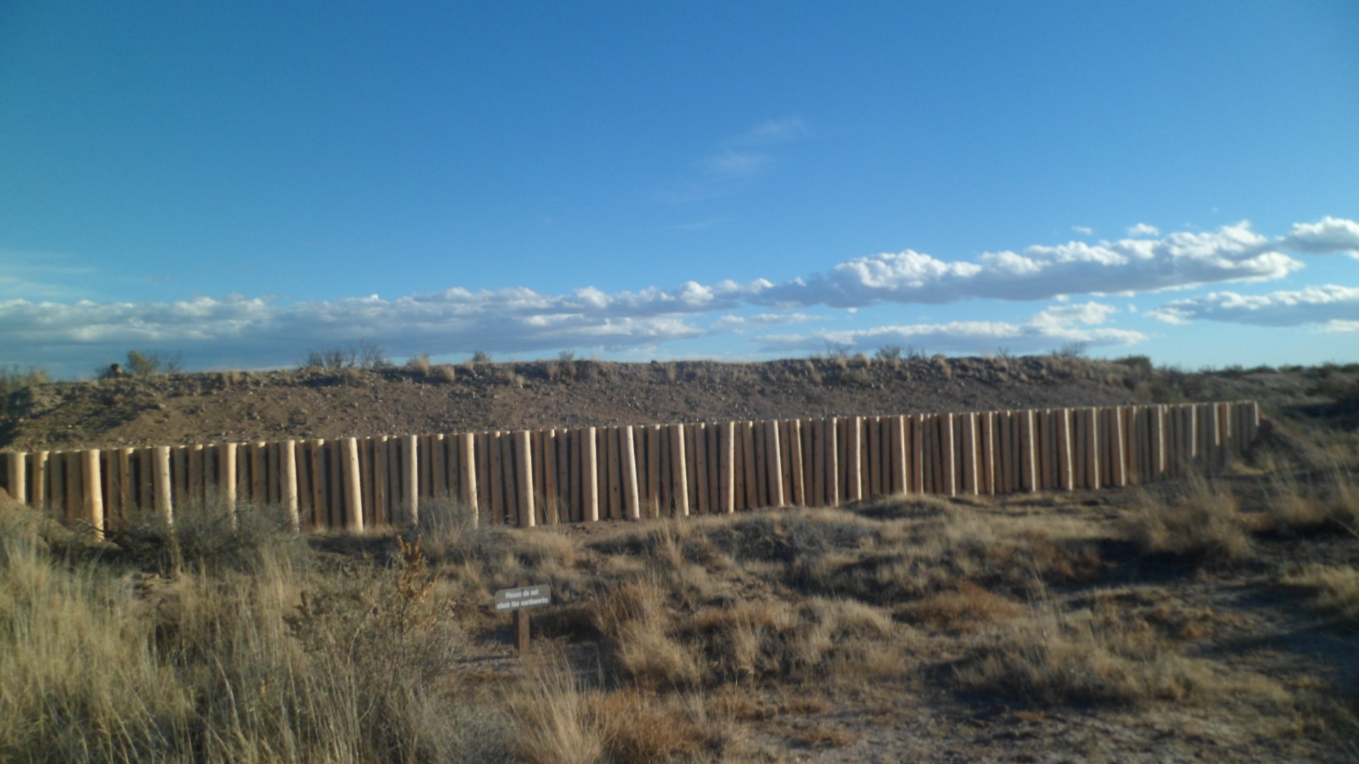
December 23, 2014, Lordsburg-  When I was a very young child, about 4 or 5, my maternal grandmother would occasionally babysit us, so both our parents could work.  Grama would sometimes have the radio broadcasting something about truth or consequences.  I could barely say the second name, but I knew what truth meant, and figured consequences were some kind of lies.

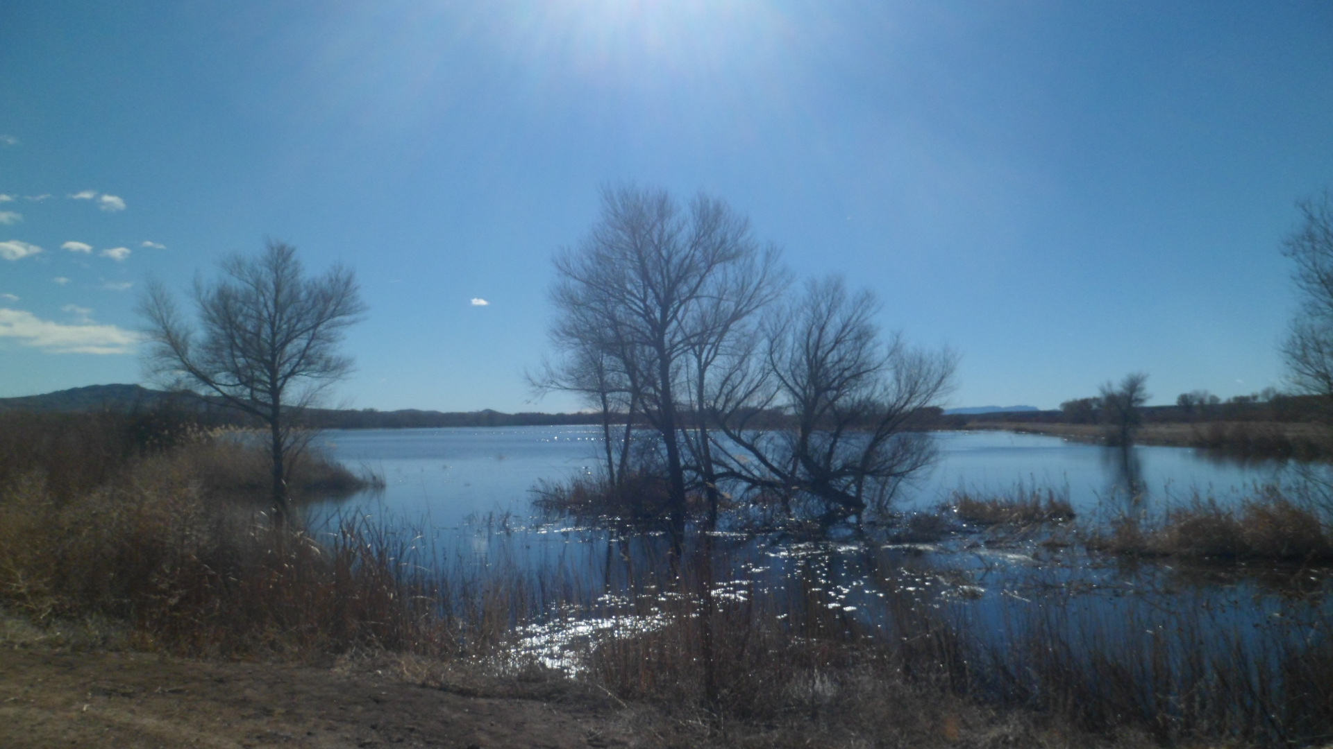
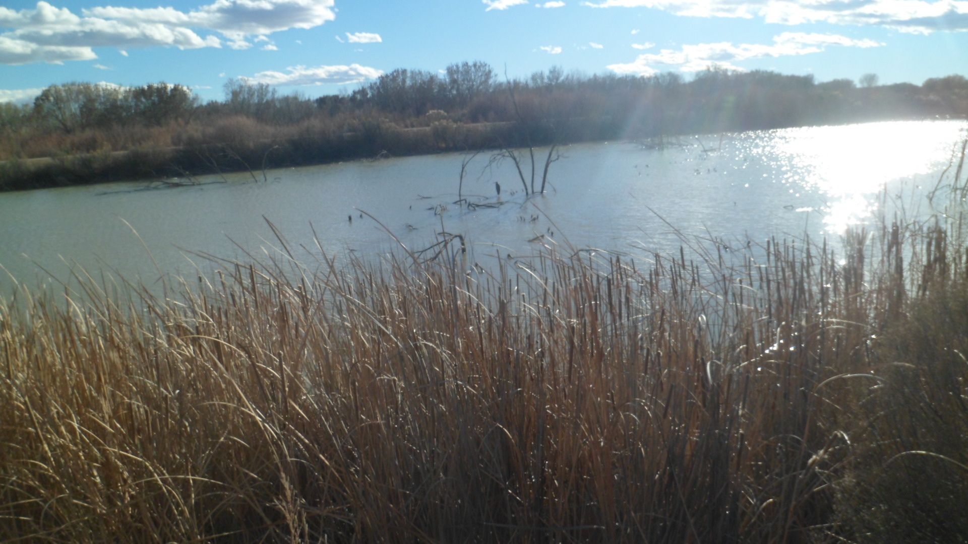
In March, 1950, shortly after i would have been conceived, the game show host Ralph Edwards, celebrating ten years of his successful radio show, “Truth or Consequences”, took an idea from a couple of staff members- to name an American town after the show.  The town selected was Hot Springs, New Mexico, which had the advantage of already being a prime tourist destination, due to its eponymous mineral baths and nearby Elephant Butte Lake, a man-made reservoir of the Rio Grande.  On April 1, Mr. Edwards, his wife and several crew members went to Hot Springs, for the official renaming, and the City of Truth or Consequences, “TRC”, was born.

I spent Monday night and Tuesday morning, enjoying the hospitality and vibrant civic spirit of this remarkable little community.  Here are some scenes from the Hot Springs Historic District and Geronimo Springs Historical Museum, Sierra County’s place of record.  The painted water tower and some brightly coloured homes reminded me of Bisbee, AZ.

SAM_3437

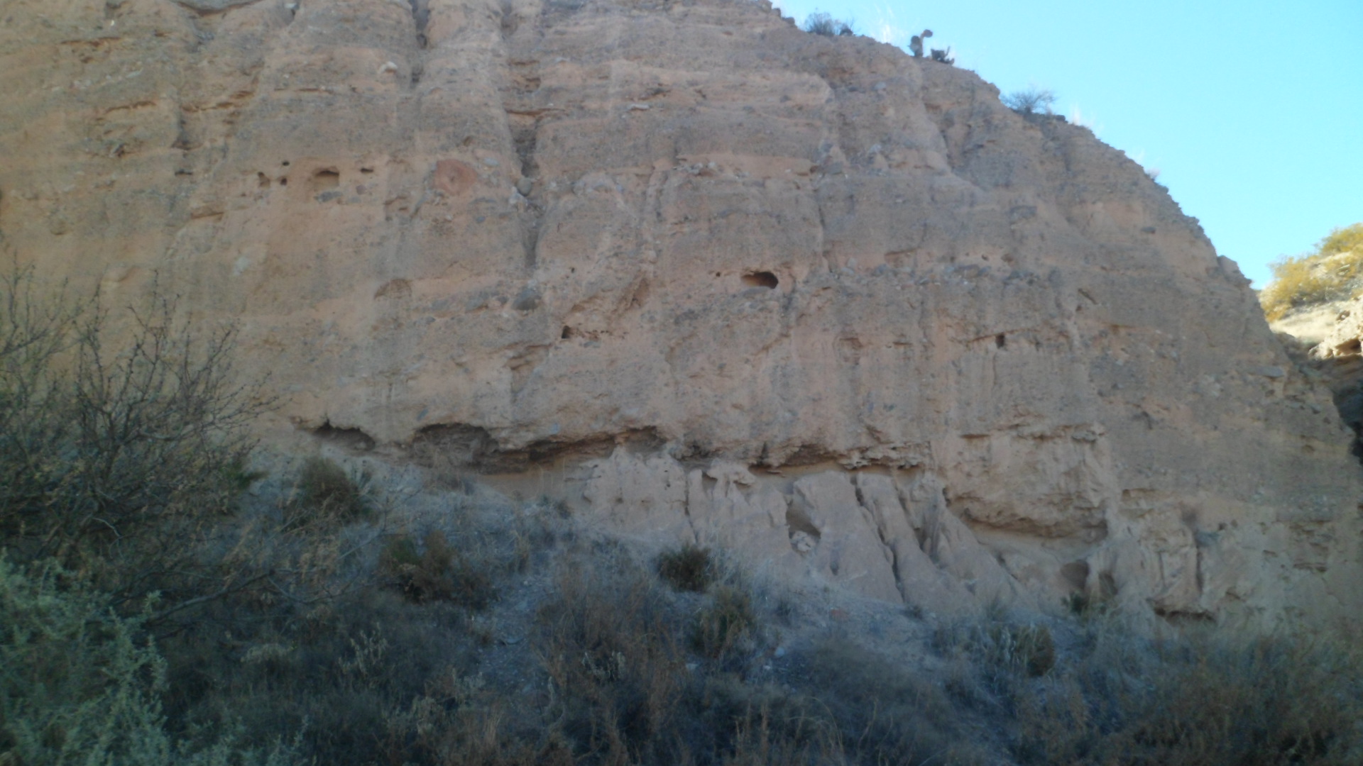
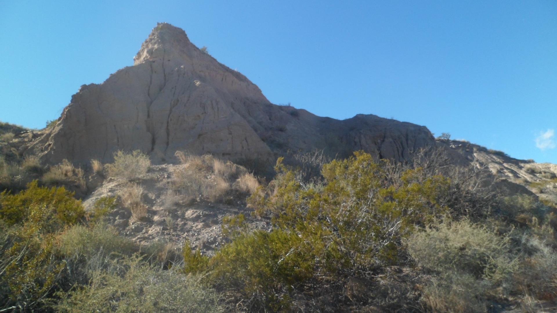
The San Andres Mountains rise to the southeast.SAM_3439 Quirky shops and eateries are scattered throughout the town.SAM_3447 Geronimo Springs Museum is a well-ordered and delightful place in which to learn of west central New Mexico.SAM_3441 A display of coloured glass and ceramic greets the visitor, outside.SAM_3443 
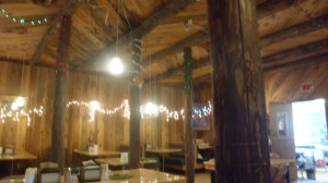
So, too, does a log cabin.

SAM_3442 SAM_3465 
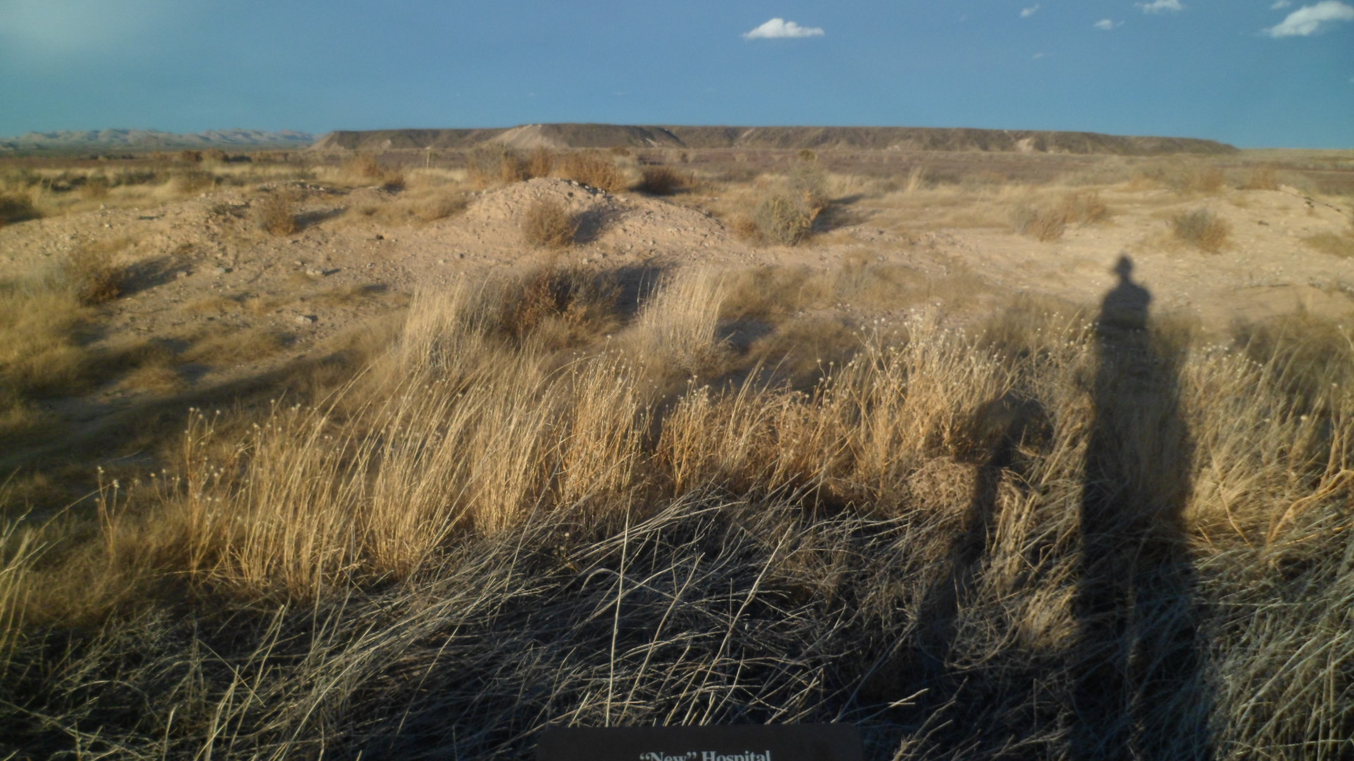
Inside the museum are many features of paleontology, anthropology, local culture and history.  I started with Pleistocene relics, a mammoth skull, and one of a mastodon.

SAM_3455SAM_3456 
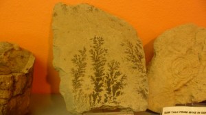
Going backwards in time, here is a Devonian coral.SAM_3459 Next, are some fern fossils.

SAM_3460 This is the tale of a chair, brought from the original Sierra County Courthouse, in nearby Hillsboro.  The two towns disputed which would be county seat, and the State of New Mexico ruled in favour of Hot Springs.SAM_3463 The historical exhibits showed portraits of Geronimo, Don Juan de Onate, and cowboy author Eugene Rhodes.  This local hero outshines them all, in my opinion.SAM_3468 I left “TRC” a bit later than I had planned, but some serendipity is worth delayed gratification elsewhere.  I would end up putting off a visit to Gila Cliff Dwellings National Monument and a walk around Silver City, but along the way to that area, I encountered several little gems.

Hillsboro, the aforementioned rival, was mostly closed up for the holidays.

SAM_3470  Not far up the road is Percha Creek, with a truss bridge and adjacent walkway/overlook.

SAM_3479 Emory Pass, at 8230 feet, is the highest point along this exquisite highway.  Here, I encountered a writer from Martha’s Vineyard, who is looking to relocate to warmer climes.  I gave him a few possible sites to explore, in that regard.  Emory was definitely not one of them- but it is a place of splendour.

SAM_3485 
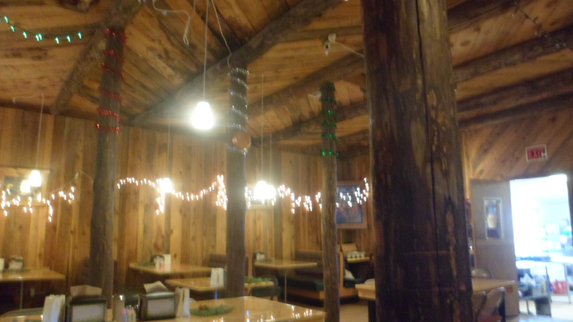
I stopped for lunch at La Tienda del Sol, in San Lorenzo, before visiting the Mimbres Ranger Station, which confirmed my suspicions about Gila Cliff Dwellings closing at 4 PM.  This delightful little place was full into the holiday spirit, as was Sunset Grill, in TRC, last night and this morning.

SAM_3487 
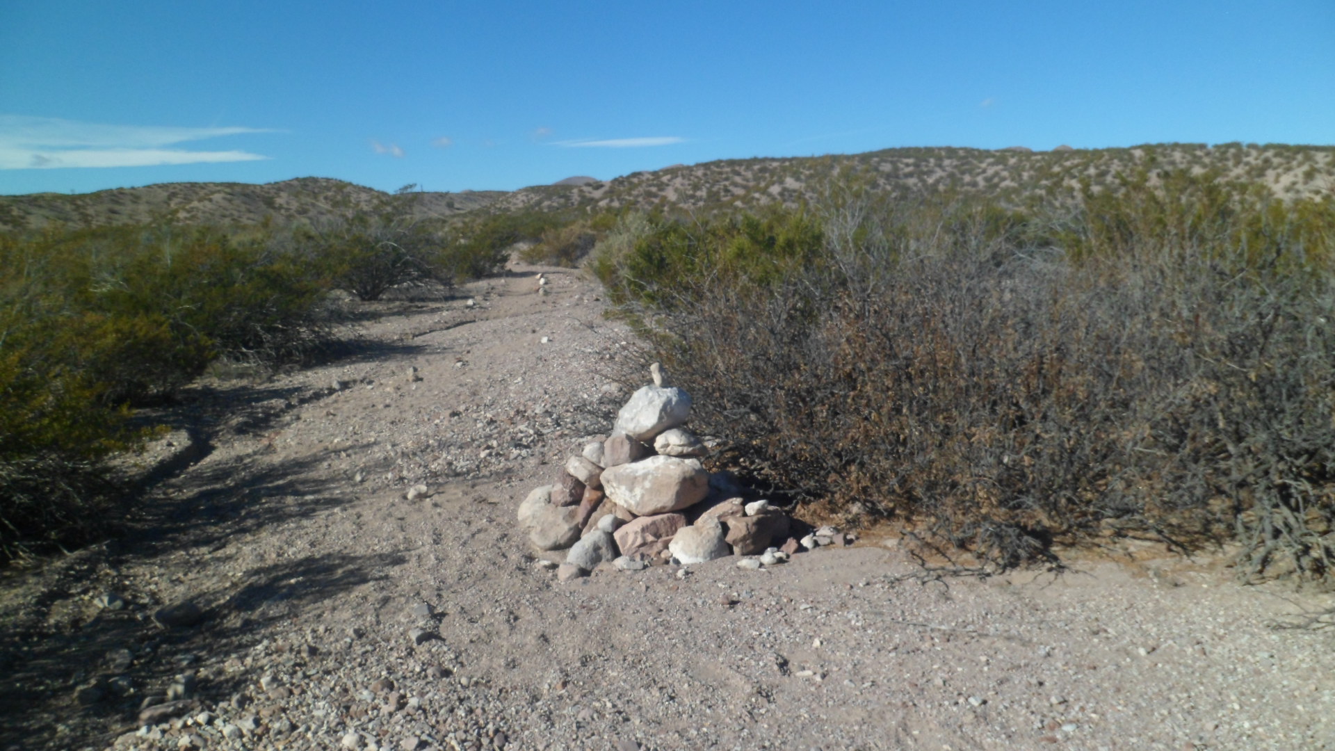
I headed to Silver City, in the end, spent a short time at Fort Bayard National Cemetery, then continued down to Lordsburg.  The dusty desert town has its own gems, among them the comfortable and inexpensive Holiday Motel (NOT “Inn”) and Kranberry’s Family Restaurant, open for lunch and dinner.  I was treated like royalty in both places.  Days like this will bring me back to this area in the Spring, and then we’ll see about Gila Cliff Dwellings and vicinity.

The Road to 65, Mile 24: A Refuge and A Fortress

4

December 22, 2014, Truth or Consequences- It was a mild day, which I started with a lovely breakfast of Strawberry Pancakes and sausage patties, at Socorro’s El Camino Family Restaurant.  Once again, all the regulars were present; nobody named Strawberry, though.

I set out for my first visit to Bosque del Apache (Apache Woods), since Penny and I came here in 1983.  It made an impression then, and did so now.  There were more sandhill cranes back then, and one of the docents gave a reason for the relative decline in their numbers.  The cranes have become dependent on corn that is grown by a farmer, who is employed by the Refuge.  The farmer they had, left and so, if anyone is interested in growing corn, specifically to feed birds, and be part of an upbeat crew of wildlife managers- contact Bosque del Apache National Wildlife Refuge, US Fish and Wildlife Service.

I began my drive down El Camino Real (New Mexico Highway 1), with a stop at this defunct Catholic church, in San Antonio, NM.  This little village has few remaining residents,but it is still worth remembering.  Each small settlement along the Royal Road was once a major stop, for those on foot or on horseback.

SAM_3347 I was greeted, upon my entrance into the Wildlife Refuge, by a Greater Sandhill Crane, perched on a branch.  Of course, he flew off immediately as I got my camera ready to shoot.  Continuing on, I walked a 3-mile loop of Chupadera National Recreational Trail.  The whole trail, up Chupadera Peak and back, would’ve been 9 miles.  I had more on my agenda, so that can be done another time.  The cairns mark each length of the trail.SAM_3355 Watch out!  The snakes and scorpions may be hibernating.  Not so, the thorny bushes.SAM_3358 Out in the distance, lie the San Andres Mountains.SAM_3360 Ann Young was an avid birder, who has since passed on.  To make up for the relative lack of wintering birds this year, here is a video of one of her last visits to Bosque: https://www.youtube.com/watch?v=KyecyGVWrto.SAM_3361 New growth is taking its place, all over Bosque del Apache.SAM_3363 From the window of the Visitor Center, one can sit for hours, just watching the various finches, wrens and hummingbirds eat their fill.  Many, though, prefer the findings on the ground and in the brush.SAM_3367 Believe it or not, a bald eagle is perched in the cottonwood tree on the right.SAM_3369 Trees growing up out of the sandbars create a safe haven for aquatic life, but also are a convenient place for raptors to sit and enjoy the view.SAM_3372 I walked this berm, around a marsh that is full, seasonally.  This is not the season of its fullness, but I got a sense of what it could be.  A Cooper’s hawk followed me around the loop, screeching, but never quite finding its favourite meal.SAM_3376 Raptors, cliff swallows and barn swallows make their nests in these sandstone cliffs.SAM_3383 SAM_3386 Here is an overlook, above the Marsh Trail.SAM_3389 When I climbed the path, this was my view.  Some say the Chihuahua Desert is more barren than the Sonoran.  Right now, I’d say they are correct.

SAM_3390 This is an oxbow of the Rio Grande, and trends towards dry, even when the river itself is full.SAM_3395 As you can see in Ann Young’s video, sometimes the bed under this boardwalk is full of water.  Not today.SAM_3396 SAM_3399 It is good enough for cattails, though.SAM_3400 My spirit friend was on the job.SAM_3401 Once back along the main flow of the Rio Grande, I spotted a Lesser Sandhill Crane, by its lonesome.SAM_3412 From the Eagle Scout Deck, more evidence of past drynesses and flows could be seen.SAM_3415 On my next visit to Bosque, I will focus more on the North Loop and the Canyon Trail.  It’ll also mean taking in a Fly-In, at sunset.

Continuing down El Camino Real, I came to a dirt road, which led me to Fort Craig, five miles eastward.  This National Historic Site is comprised of ruins, and figures in three sorry episodes of our nation’s history:  The Mexican War, which was its raison d’etre; the Civil War, during which Confederates from Texas tried to use New Mexico as a steppingstone to Colorado’s gold fields; and the Trans- Mississippi Indian Wars, which just led to more suffering and misunderstandings, on both sides.  That its ruins stand at all, however, show just how formidable Fort Craig was.  Walking these paths brought me back to the ramparts and walls of France, Belgium and Luxembourg.  The pilings below support the earthworks, which defended the fort against the Confederate force.

SAM_3416 This is what’s left of the Guard House and Jail.  Prisoners were segregated by race, as were the soldiers.SAM_3418 These are the remains of the Commanding Officer’s Quarters.SAM_3420 SAM_3421 The perimeter walls were more formidable than they look now.SAM_3425SAM_3426 Here is the Magazine Storage, where ammunition was kept safe and dry.SAM_3431 The Battle of Valverde, near Socorro, was a Pyrrhic victory for the Confederates.  They lost so much in materiel that they were unable to capture Fort Craig and hobbled on to Albuquerque, never gaining control of New Mexico.SAM_3435 I don’t believe I have ever cast such a long shadow.  Being tired by now, my course of action was to stop in the unique town of Truth or Consequences.  The story has been told by someone on my Facebook wall, but I will discuss it at length in “Mile 25.”

SAM_3436