Pine Mountain’s Mini- “Rain Forest”

4

It doesn’t rain any more intensely on Pine Mountain than it does anywhere else in Arizona.  I did find, though, that the trail to Nelson Place Spring and onward along Beehouse Canyon Trail is intensely green.

It attracts the same intense wildlife as the Mazatzal Range, some forty miles to the southeast- including mountain lions, bobcats and bears.

SAM_4916

So, here are a few scenes near Nelson Place Spring, where there are but remnants of some stone walls to show the vibrant life that people had here, 100 years ago.

SAM_4919       SAM_4921

SAM_4922       SAM_4924

Not far along Beehouse Canyon Trail, I got a fine view of Beehouse Mesa.

SAM_4927


Going in and out of the forest, I got fine views of Pine Mountain itself, which will be the focus of another hike, sometime in the next year or two.


SAM_4928 SAM_4931 SAM_4935 SAM_4938

On the way out of the Wilderness, I enjoyed views of Sycamore Creek Gorge, not to be confused with Sycamore Canyon, which follows the same body of water, but lies several miles north of here.

SAM_4942


SAM_4947      SAM_4944

SAM_4942


So went my mini-adventure, on what would have been our 31st wedding anniversary, June 6, 2013.


The Road to Pine Mountain

6

Yesterday would have been our thirty-first wedding anniversary.  June 6 will always be one of those days when something out of the ordinary calls to me, to be done.

I chose to have lunch with the arcology students at Arcosanti, the avant-garde community-in-progress that was started by the late Paolo Soleri, in the early 1970’s.  I was not disappointed; the buffet fare was well-balanced and freshly made. Besides, having to wait thirty minutes, in the small outdoor garden, gave me a chance to contemplate creatures like a red-tailed hawk, hummingbirds and a chuckawalla.

After this fine meal, I headed northeast, to Pine Mountain Wilderness, a rarely visited area, between Cordes Junction and Payson.  At its highest point, PMW affords magnificent views of the Verde River, with steep canyon walls in between.  As it was late in the day for any blowout hike, I chose to spend an hour or so in Beehouse Canyon, a connector trail on the north side of PMW.

Of course, as with any remote wilderness, the route to the trailhead is itself a worthy experience.  I met few humans along the narrow dirt road, but did slow down or stop for a robust juvenile coyote, a long bull snake and a spirited mule deer.

Here are a few scenes of the features presented by Forest Road 68.  First, I encountered Estier Peak.

This short mountain is east of I-17, off Dugas Road.

This short mountain is east of I-17, off Dugas Road.

Just east of Estier is five-mile long Horner Gulch.

This long sub-canyon stretches for five miles along Forest Road 68, below Yellow Jacket Mesa, visible at the top.

This long sub-canyon stretches for five miles along Forest Road 68, below Yellow Jacket Mesa, visible at the top.

Here is a longer view of Yellow Jacket Mesa.

This ridge runs northeastward, from Horner Gulch.

This ridge runs northeastward, from Horner Gulch.

The area has several ranches, which are still fully operational.  It also has the old mining town of Dugas, now a place of refuge for those needing to be “out-of-towners”.

This is the remnant of yet another old mining town.  Now, those who want to be left alone hang out here.  They were nice enough to let me take two photos.

This is the remnant of yet another old mining town. Now, those who want to be left alone hang out here. They were nice enough to let me take two photos.

This property is mostly abandoned.  The owner supposedly just shows up once in a blue moon.

This property is mostly abandoned. The owner supposedly just shows up once in a blue moon.

This is the north ridge of Tule Canyon, which runs east of Dugas.

This is the north ridge of Tule Canyon, which runs east of Dugas.

This is Mount Thomas. From here on, the landscape becomes more lush, with Sycamore Creek and the Verde River exerting greater influence.

This igneous rock outcropping rises just southeast of Dugas, and about three miles southwest of Pine Mountain Wilderness

This igneous rock outcropping rises just southeast of Dugas, and about three miles southwest of Pine Mountain Wilderness

In the next post, I will showcase the canyon rising from Sycamore Creek, the northern first mile of Pine Mountain Trail,  and the lushness of Beehouse Canyon.

Old Bill’s Favourite Mountain

2

Bill Williams was a mountain man, in the mid- 19th Century, trading with the Havasupai, Hualapai, Yavapai, Navajo and Hopi, in the north central region of Arizona.  He is remembered by having the City of Williams, Bill Williams River, and this mountain named for him.

Bill Williams Mountain is the furthest west of a series of uplifts that rise majestically out of the semi-arid Colorado Plateau.  The higher mountains in this loosely-constructed “range” are known collectively as the San Francisco Peaks, or Kachina Peaks.  All are sacred to the five nations that call the area home.  They are also used by the ski industry, at Mt. Agassiz, near Flagstaff and on one of the slopes of Bill Williams Mountain.  The two interest groups are not 100% in agreement, as to how the Peaks should be treated.  So far, though, the mountains remain in majesty.  The indigenous people, particularly the Hopi, regard the Peaks as the realm of their sacred spirits, known to the Hopi as Kachinas.

I took time yesterday to hike to the top of Bill Williams Mountain, something that I’ve had in mind for thirty years or so.  Here are some views of this western sentinel of the Peaks.

There is a map of the area, at the trail head

.

Then, we are off,up a mild set of switchbacks.


The trail is used by many creatures.  This one looks familiar.  Absalom?

The trail is three miles, one way, variously flat and inclined.


It offers nice views of Bixler Peak, the western sub-peak of Bill Williams.

There are also hints of the summit, still well ahead.

Along the way, a progress report is offered.

There are limestone boulders, on which to rest, plus plenty of aspen, ponderosa pine and fir trees (White and Douglas) for shade.


I offer here a small homage to @Buddy 71, and his friends.

Now, back to “work”.


There are numerous views, in all directions, en route to the top.


By this time, I came upon a father and two sons, who had made the trip to Mile Post 2.5,  about twenty minutes before me.  We went the rest of the way as a unit.

As you can see, the US Forest Service maintains elaborate communications and fire watch equipment, atop Bill Williams Mountain.

I moseyed on over to the west overlook, and smiled for the birdie, as a souvenir of this hike.

Now, it’s back to Prescott, and a weekend of Folk Arts Festival! happy


The Flora of the Superstitions

0

Part of what makes the Sonoran Desert a cut above surrounding arid regions is its lushness.  The Superstition Mountains figure prominently among those sections of the Sonoran in which wildflowers run riot from April to early June.

When I visited last Saturday, the colours were beginning to emerge, and the Gambel’s oak was very thick in several spots along the Peralta Canyon, East Boulder Canyon and Dutchmans Trails.

Here is part 3 of this series on the Superstition Wilderness.  Hope you enjoy the plant life.

SAM_4339           SAM_4356 SAM_4358           SAM_4360 SAM_4373           SAM_4374 SAM_4376           SAM_4379 SAM_4388           SAM_4389 SAM_4411           SAM_4419

All of this is brought to you by the tributaries of the Salt and Gila Rivers, which grace the fringes of the Superstition Mountains.

SAM_4435


Where Rhyolite Rules: Weaver’s Needle Loop

0

Most of the dazzling array of rock spires found in the Superstition Mountains are of a volcanic rock, called rhyolite.  Sandstone also figures into the mix, usually at the outer base of formations like Weaver’s Needle.  The Superstitions are an eroding mountain chain, far older than Arizona’s other large volcanic ranges- the San Francisco Peaks and the Santa Catalinas.

I found no dearth of amazing rock formations, giving my imagination full vent, during the nine hours spent in approach and circumnavigation of Weaver’s Needle, last Saturday.

Here are about twelve of the rock formation shots I took.  You be the interpreter as to what they represent. happy


The formations actually extend quite a bit further, to the west, north and east of the Fremont Saddle/Weaver’s Needle areas on which I focused last weekend.  Someday, who knows, I may just stumble upon the Lost Dutchman’s Mine.

Around Another Sacred Spire

0

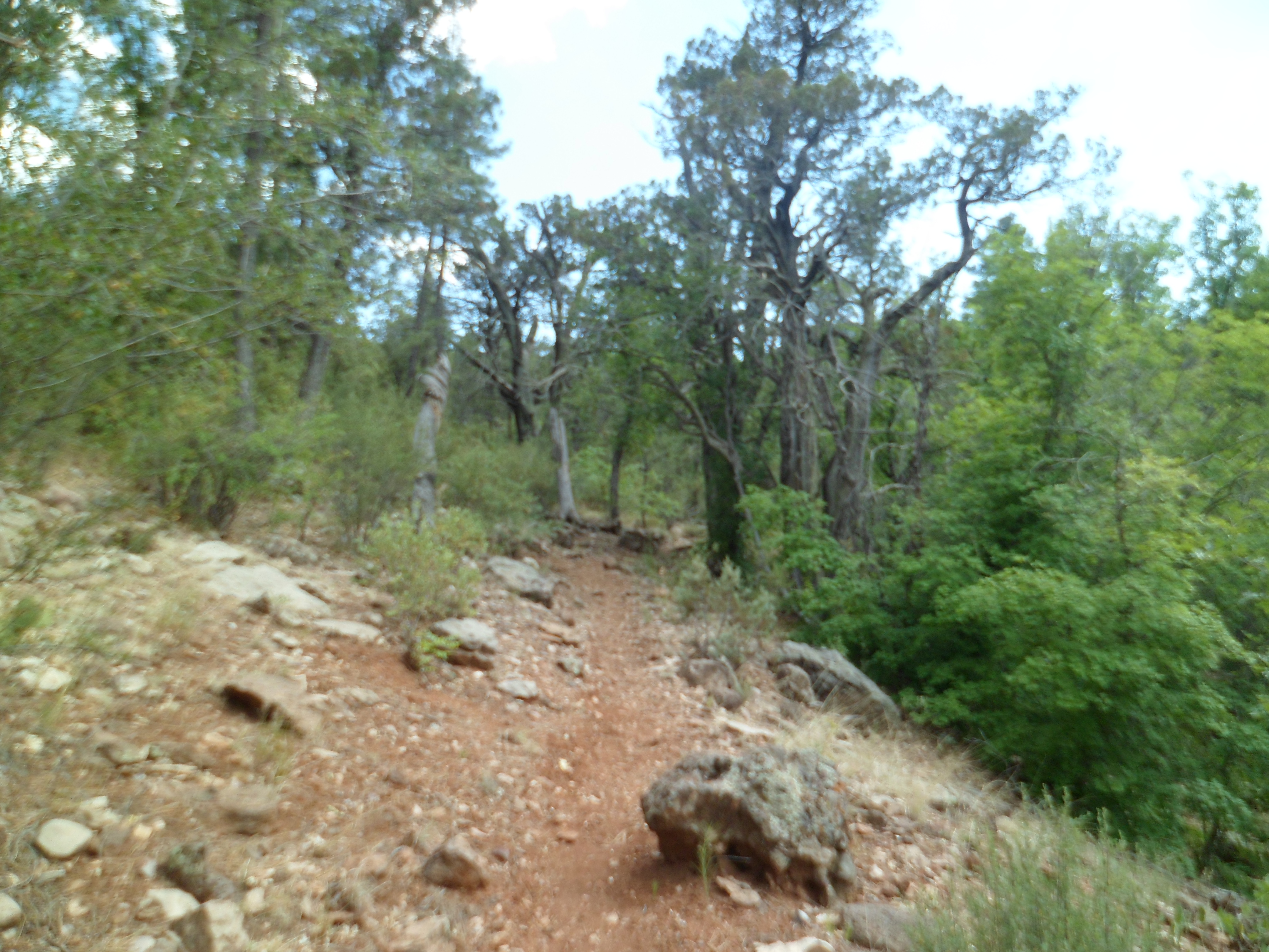
This past Saturday, I set out for what i thought would be a mild, five-mile journey along the south rim of Barks Canyon, in the Superstition Wilderness, east of Metro Phoenix.

A gaze at the map board, near Peralta Trailhead, however, showed this would mean a three-mile bushwhack, through prime rattlesnake turf.  Since that is being penny-wise, and oh so pound-foolish, I opted to go on down Peralta Canyon, letting the chips fall where they may.  Did they ever.  This day became as full, demanding and glorious as the Longest Day trek last June, along Bright Angel Trail in the Grand Canyon.

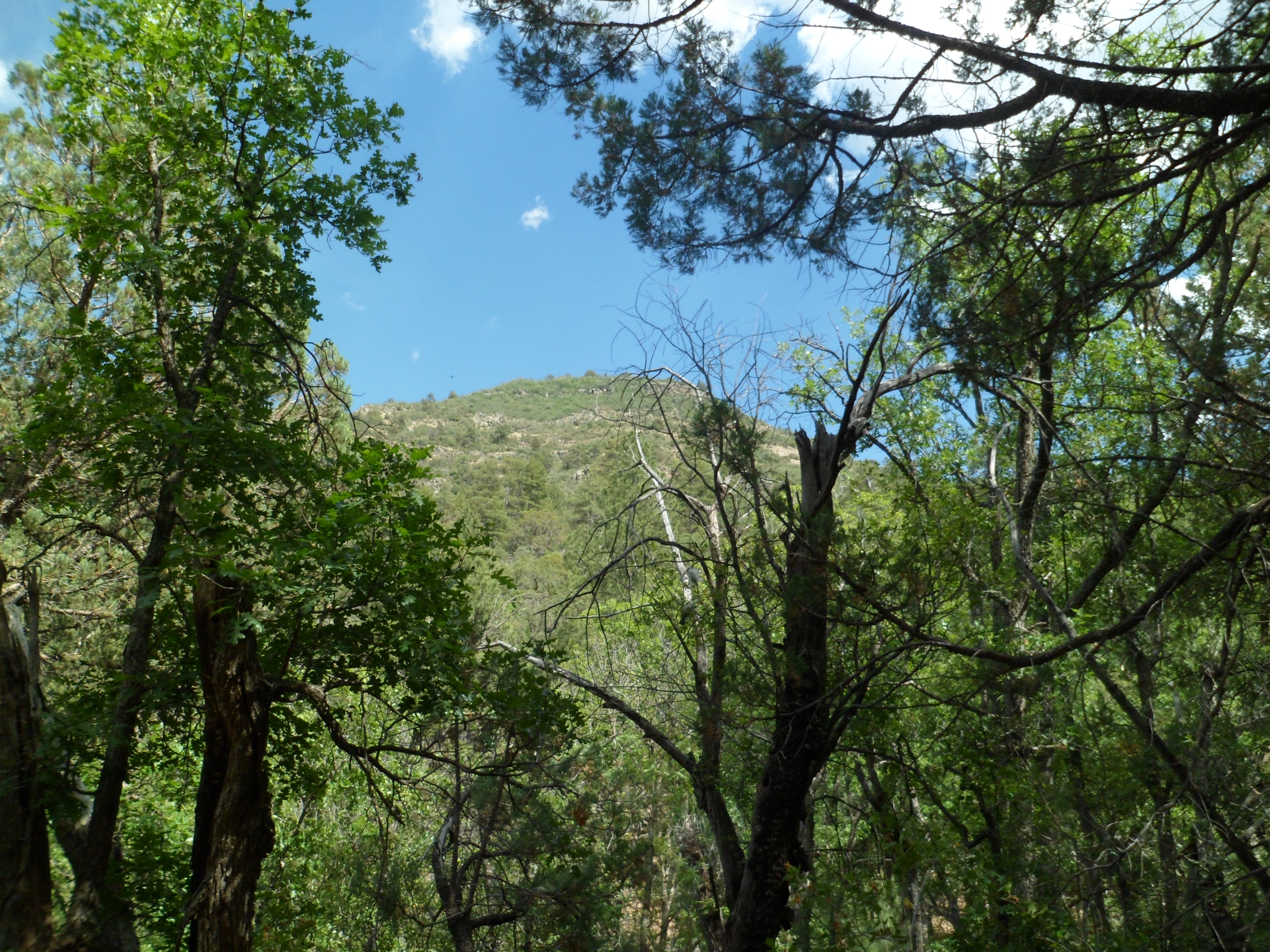
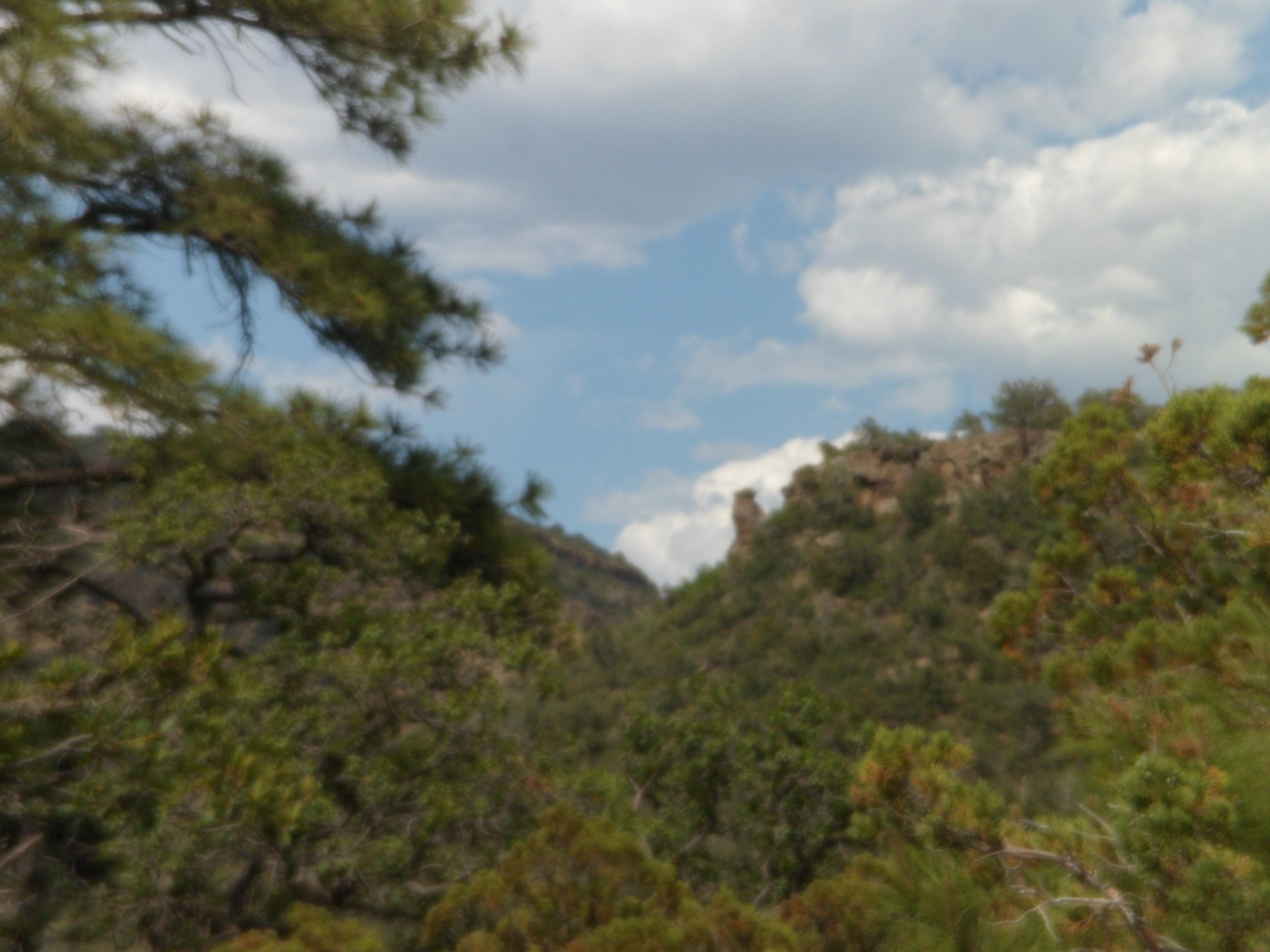
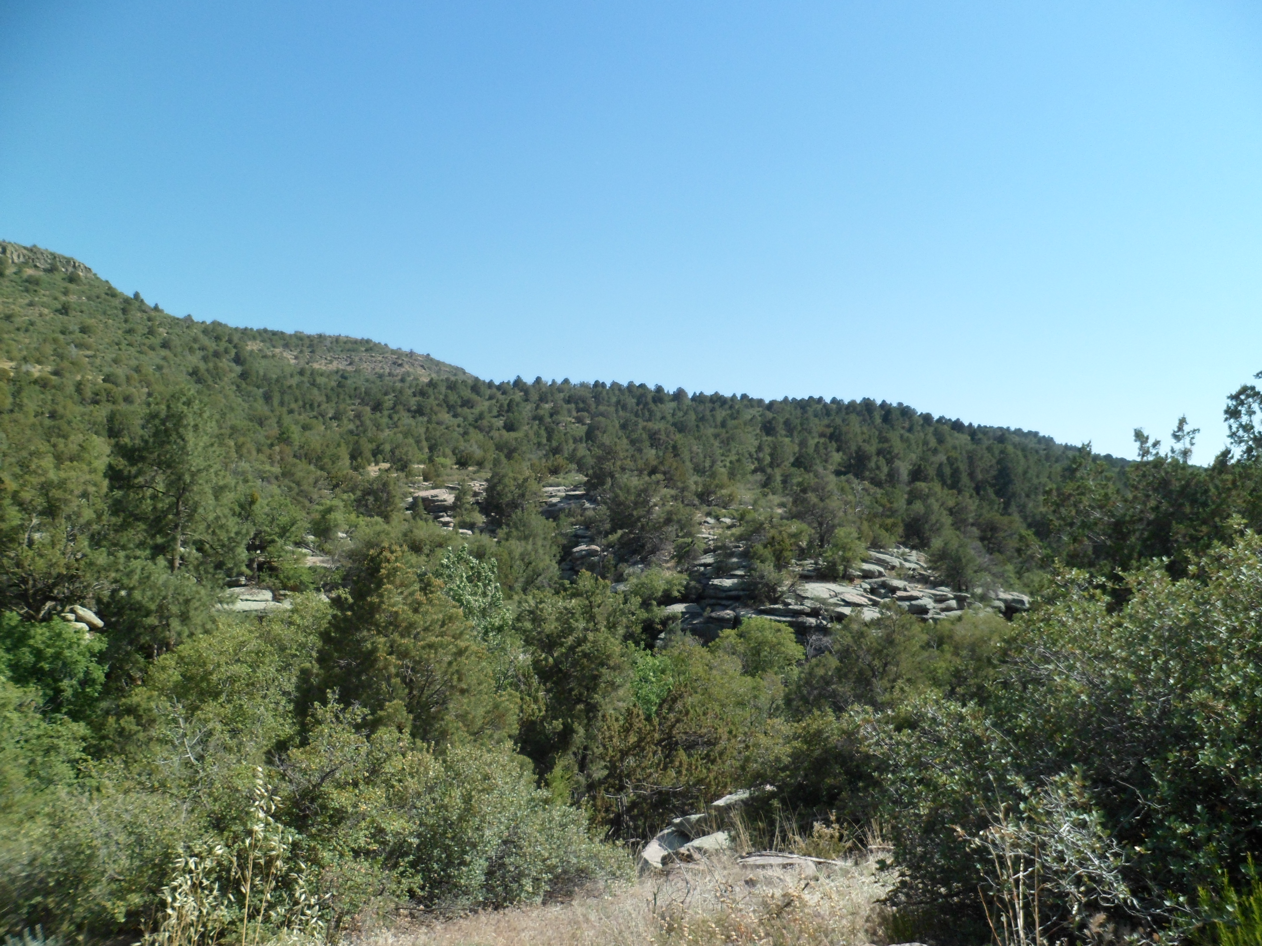
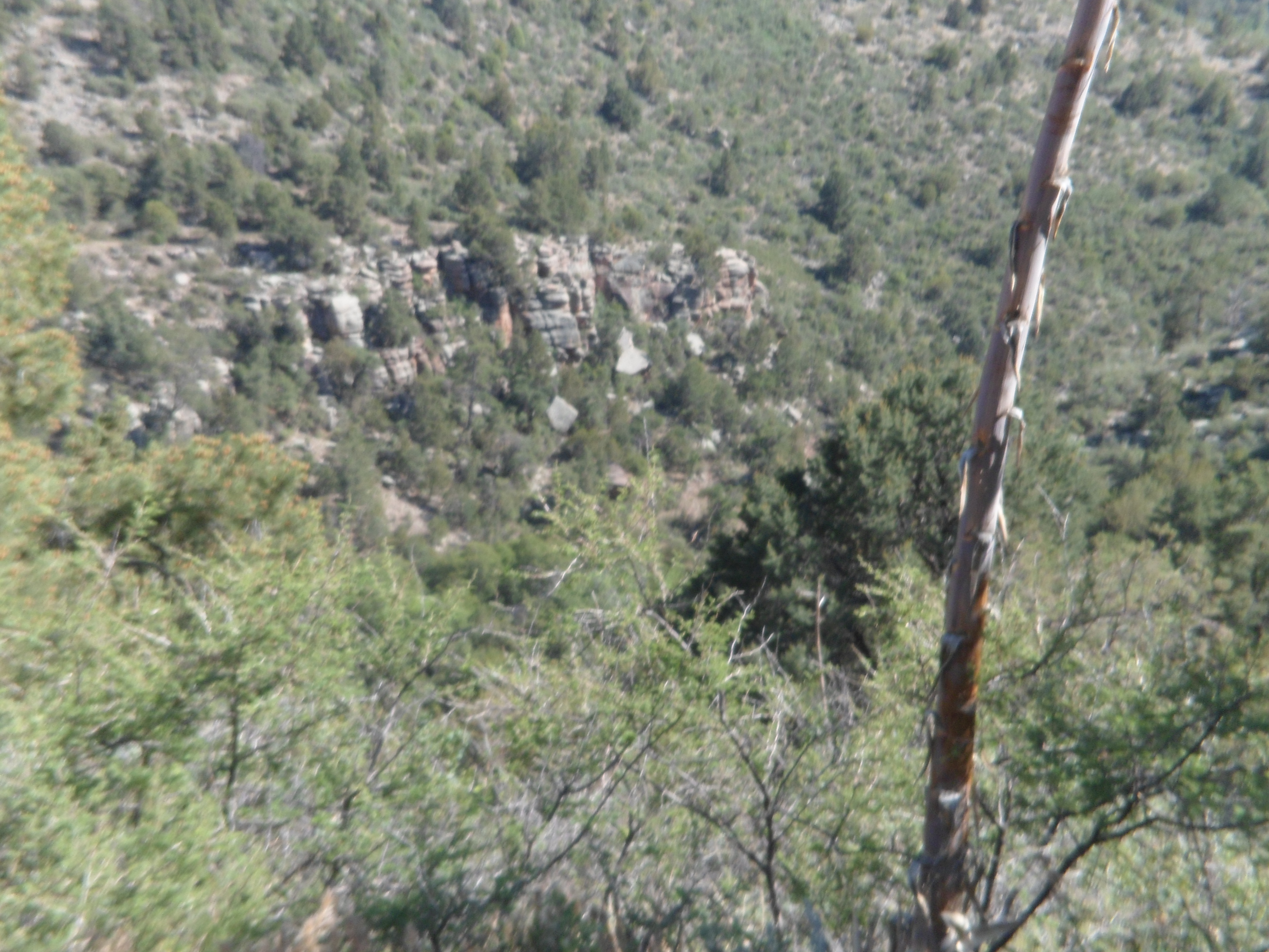
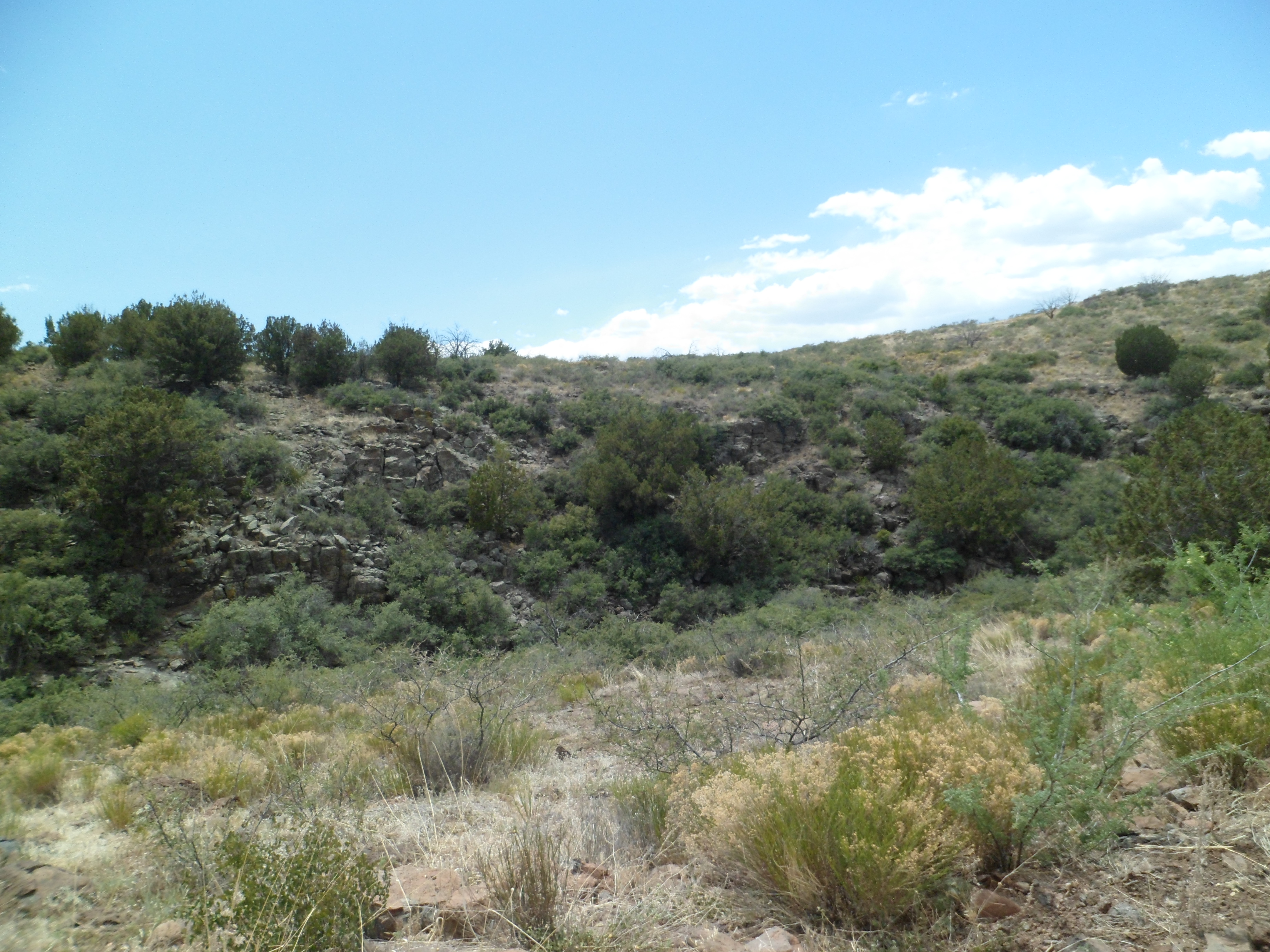
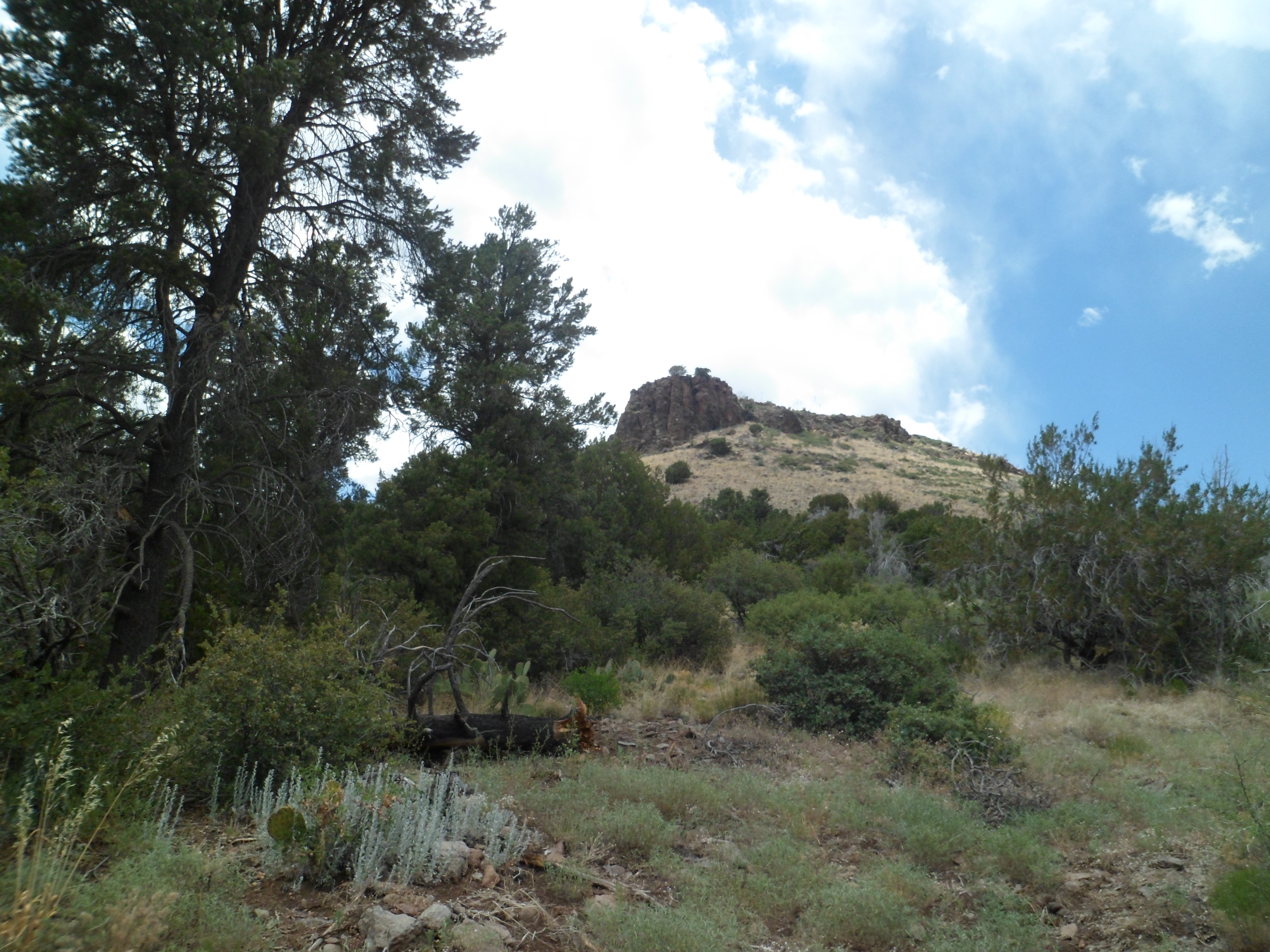
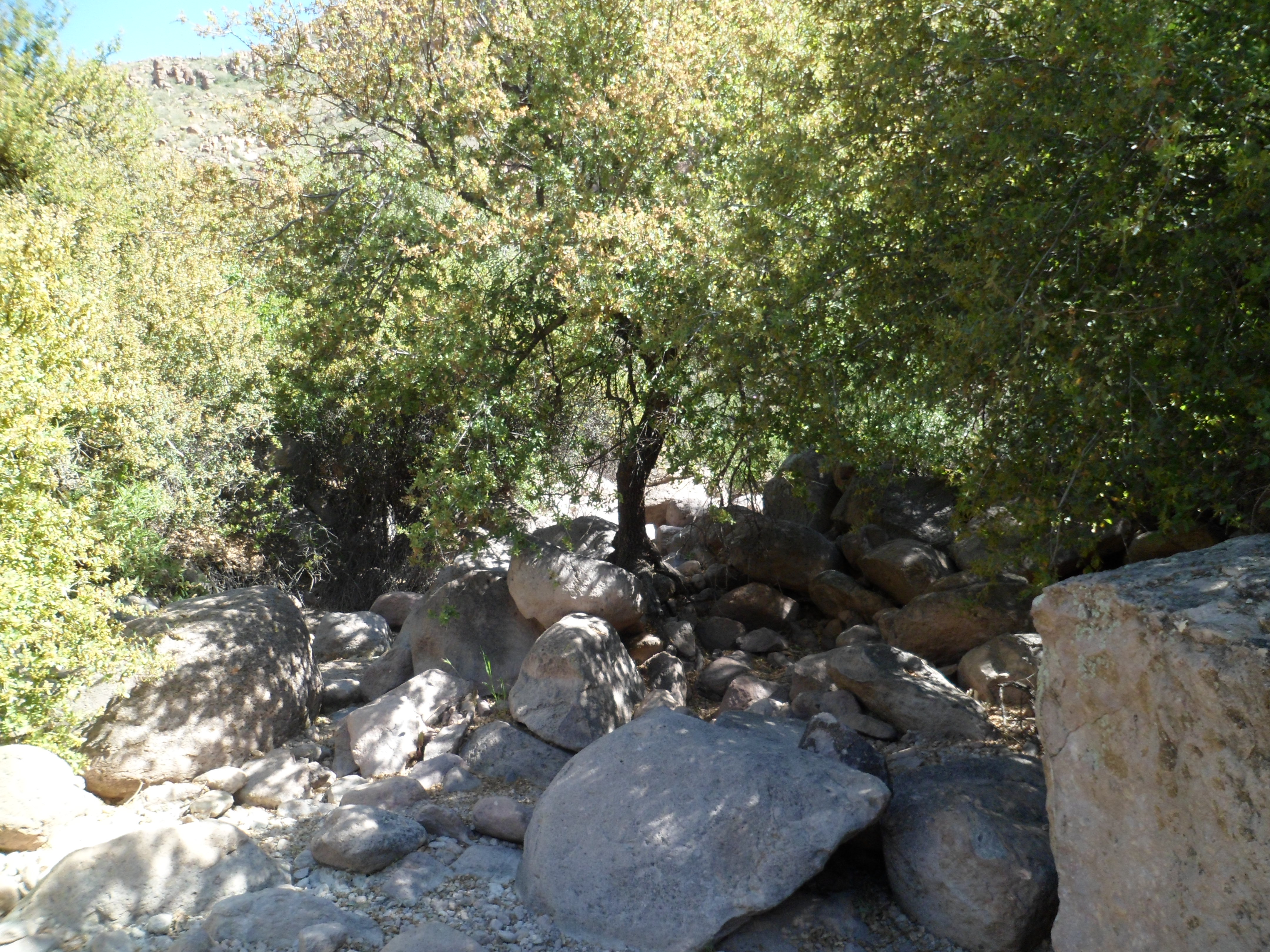
This central part of the Superstition Mountains has an iconic centerpiece:  Weaver’s Needle, a rhyolite and sandstone wonder that seems to sit by itself, between Peralta, Barks, Needle and East Boulder Canyons.  It kept me in its sights, most of the day.

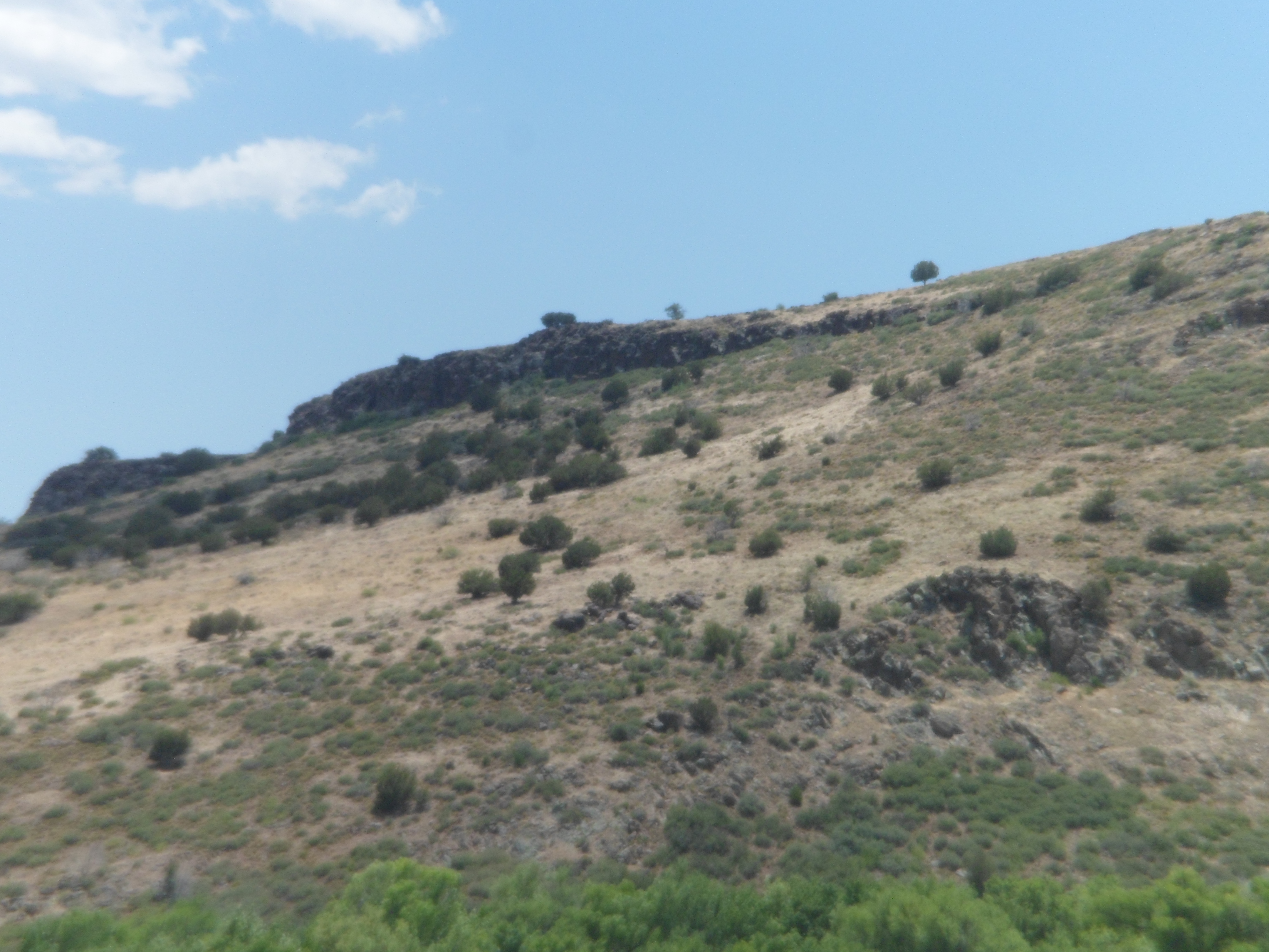
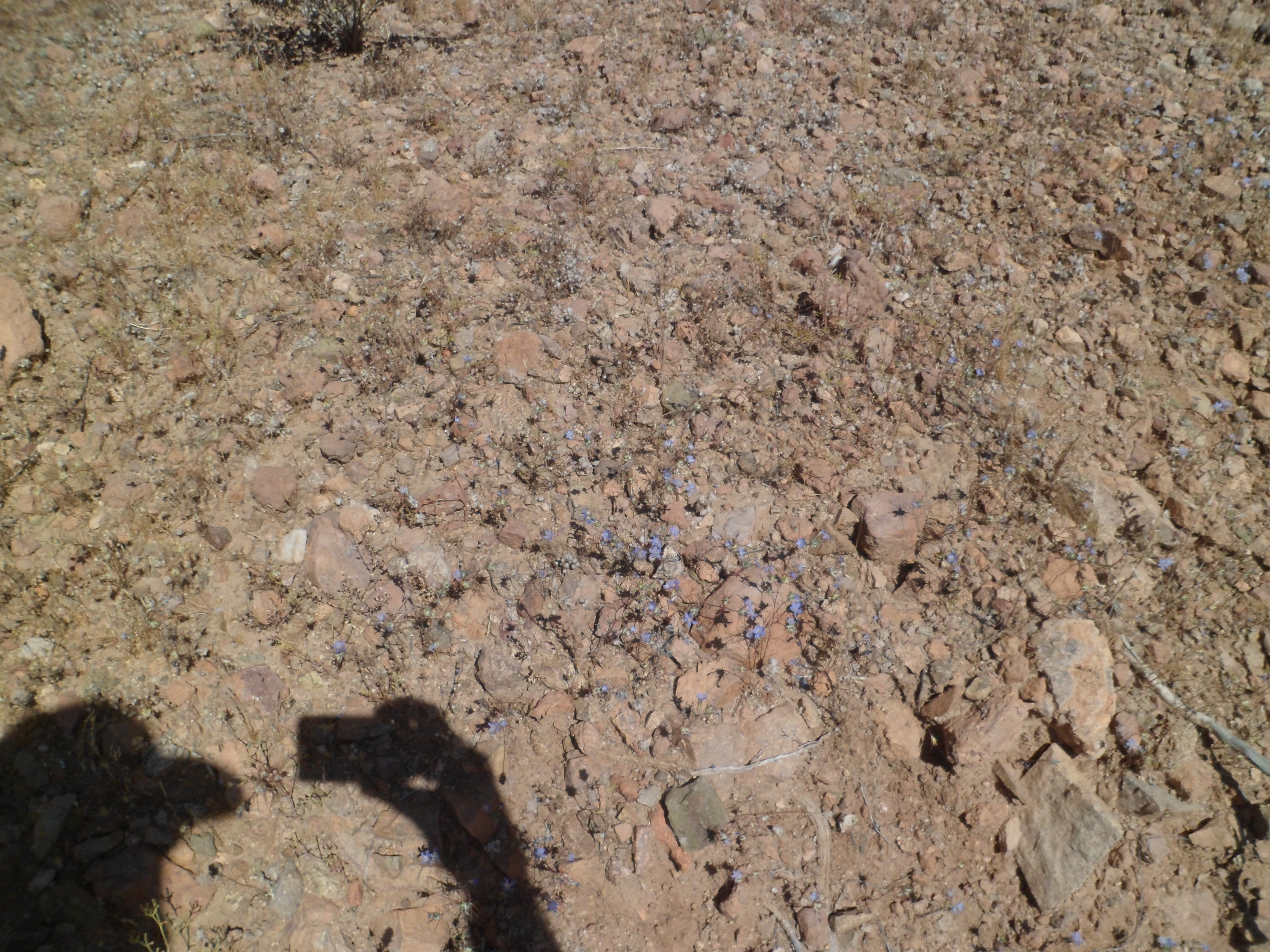
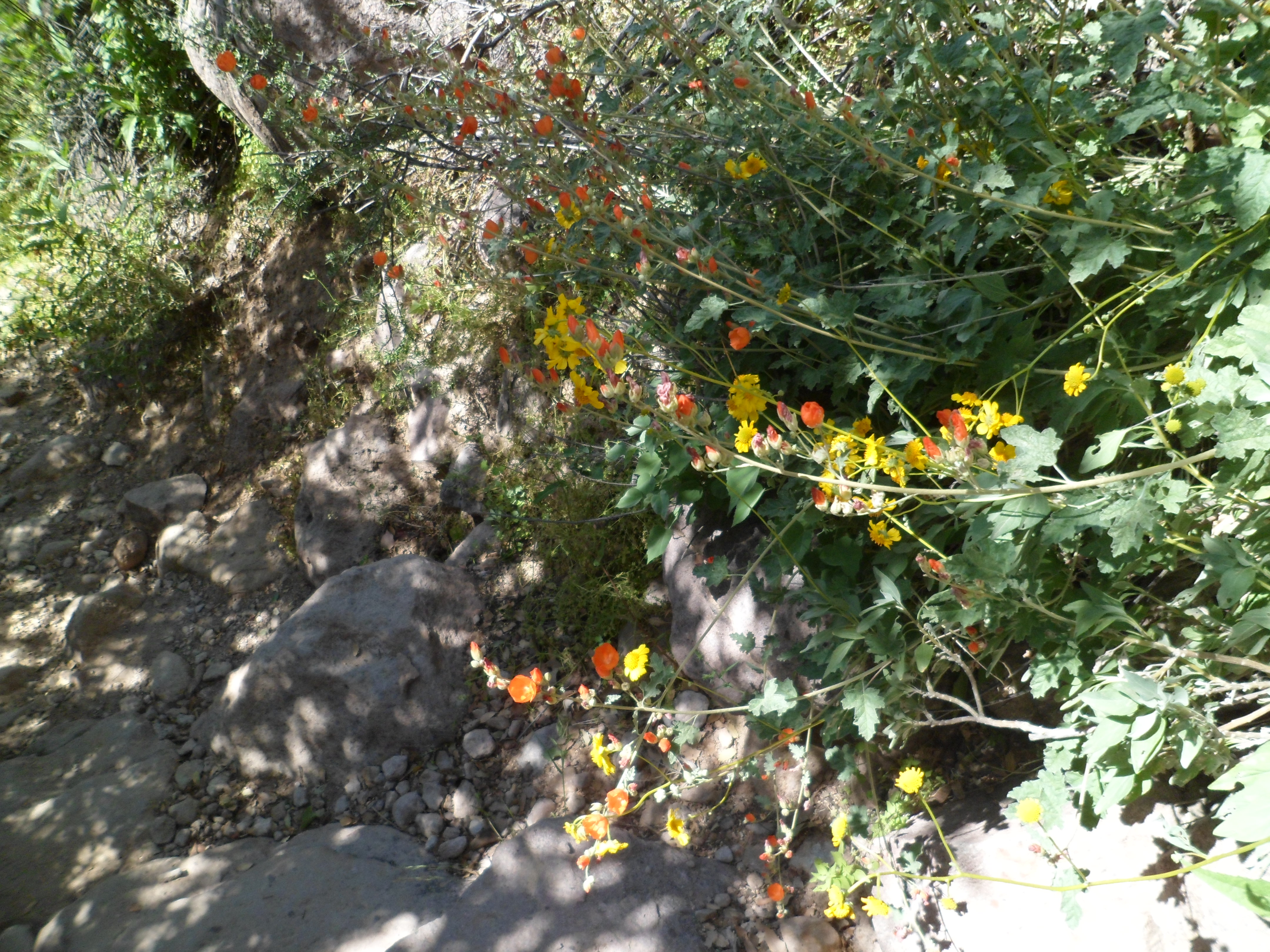
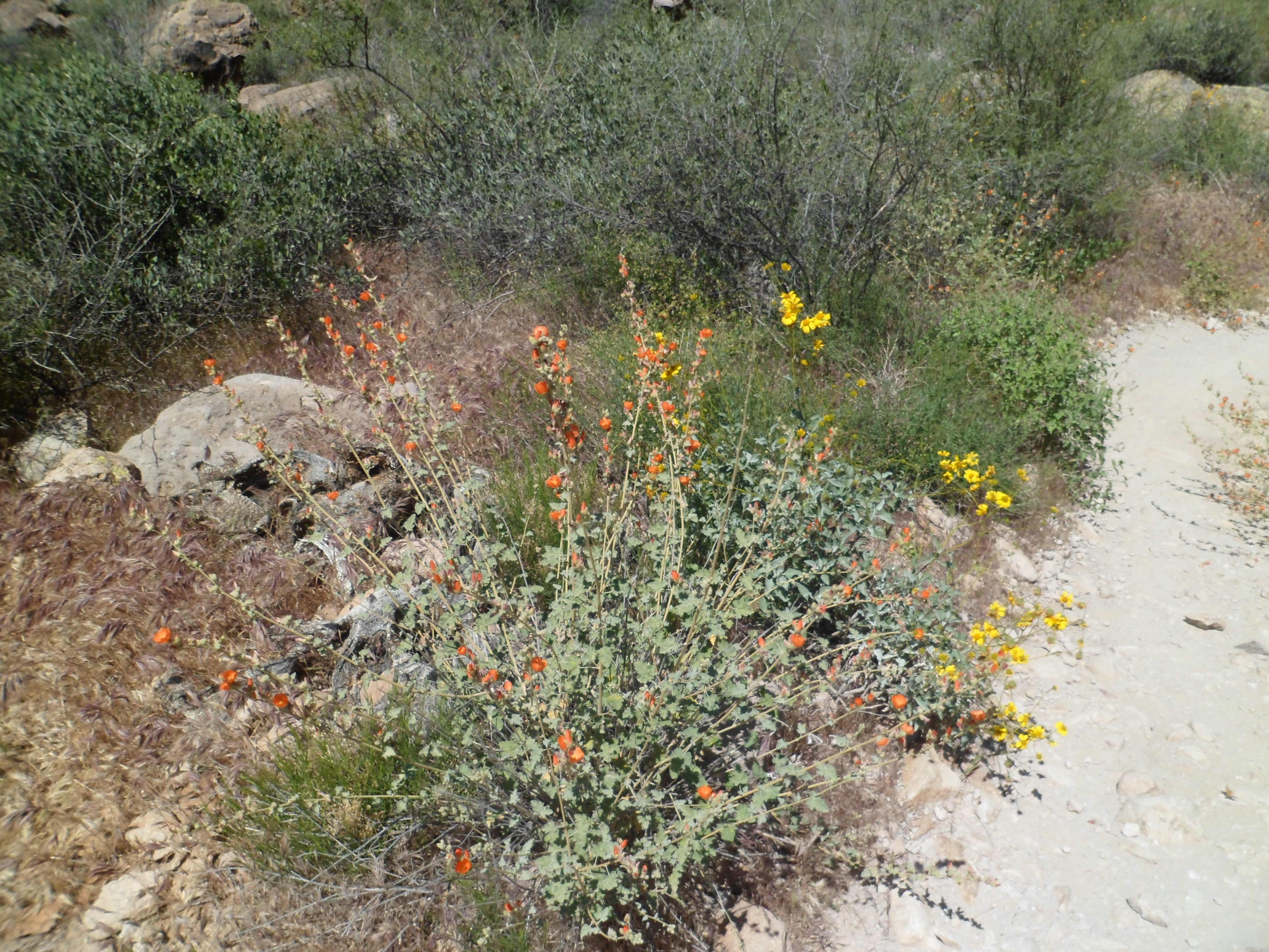
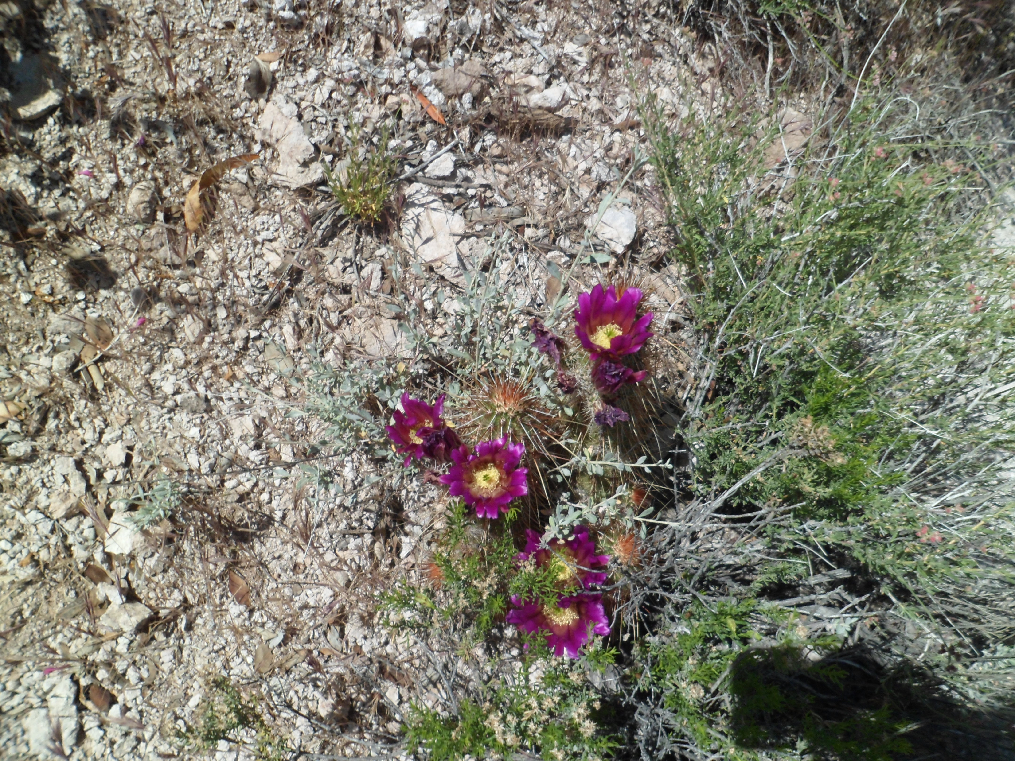
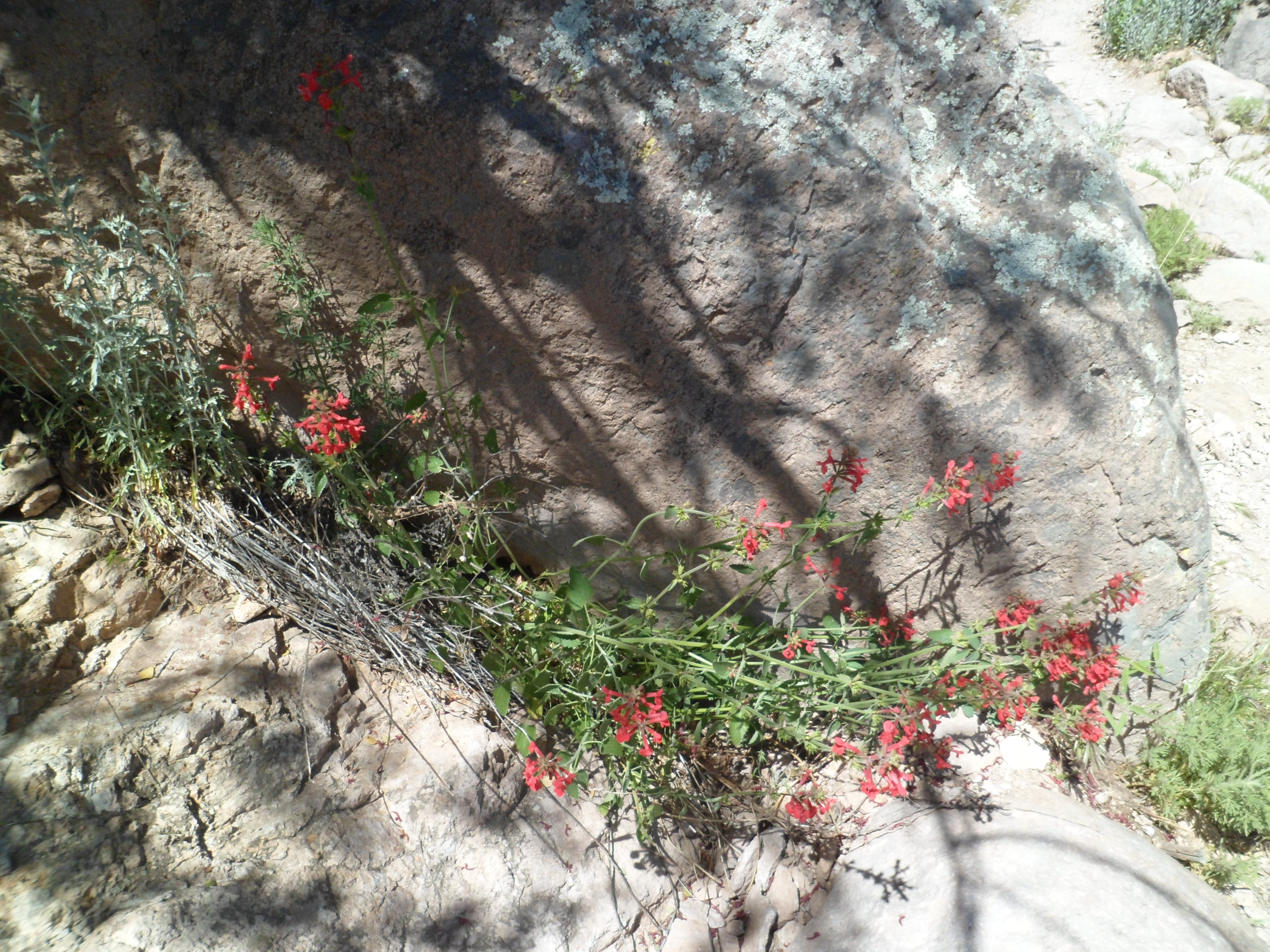
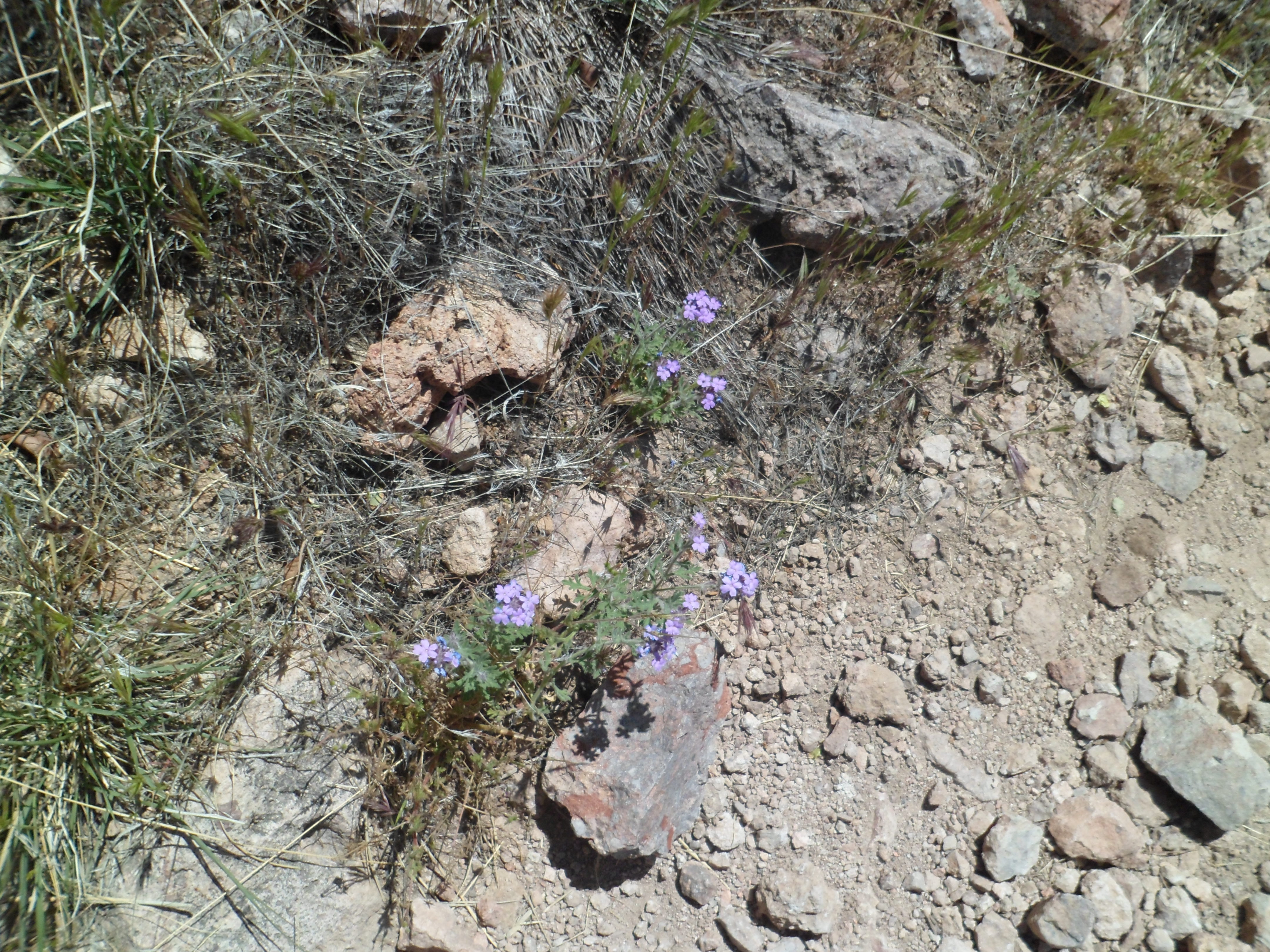
The Superstitions draw people from all over, much as do Grand Canyon and Sedona.  There are two major facets, which I will show in the next two posts:  The largely rhyolite (volcanic) formations which dominate the landscape and the wildflowers, which explode this time of year.  (Peak flower time is later this month, but we enjoy what we can, when we can.)

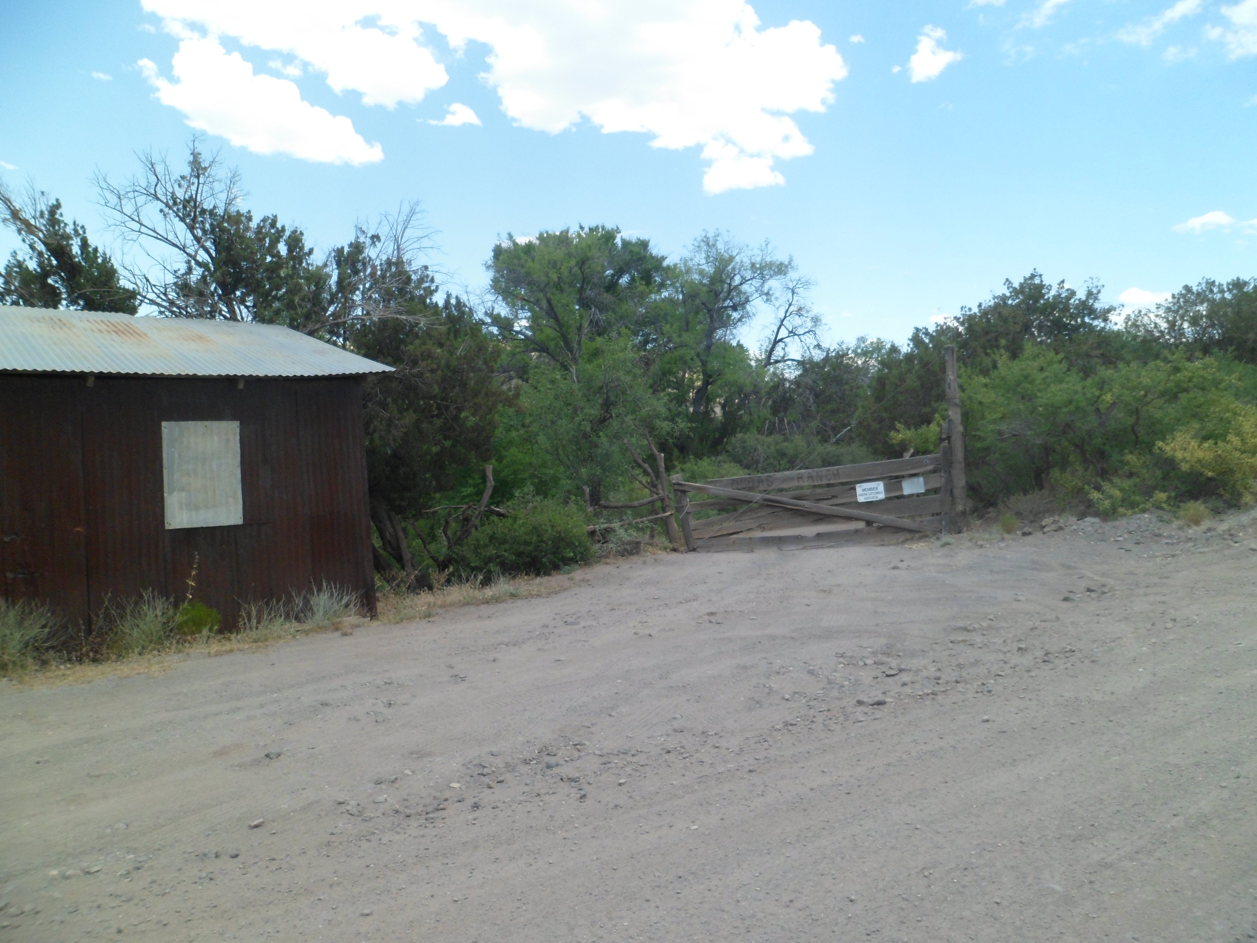
I started out in the overflow parking lot, 1/4 mile from Peralta Trailhead.  The canyon actually gets its start here, with rising buttes to the west.


The trailhead itself, as I mentioned earlier, is fully informative.  The information it gave me about the way ahead offered two choices- See Weaver’s Needle from a variety of vantage points and make a full day the marvelous existing trails, or stop at Fremont Saddle and head back.  I opted for the former, and ended up with 17 miles under my feet, at day’s end.

Here are some of the features of the trailhead itself:


The sign on the right seems to be well-read.  I saw none of the above along any of the trails.

Peralta Canyon Trail takes the hiker up to Fremont Saddle, then down along East Boulder Canyon (which is actually west of Weaver’s Needle).  It ends at Black Top Mesa, where the eastbound Dutchmans Trail takes over.  One may follow Dutchmans, named for a gold prospector named Jacob Waltz, for about 14 miles, around the eastern periphery of Superstition Wilderness.  I opted to take the trail for 3 miles, then, with a group from Phoenix, went up Terrapin Trail and Bluff Springs Trail, back to the parking area.  Seventeen miles in one day is enough, don’t ya think?

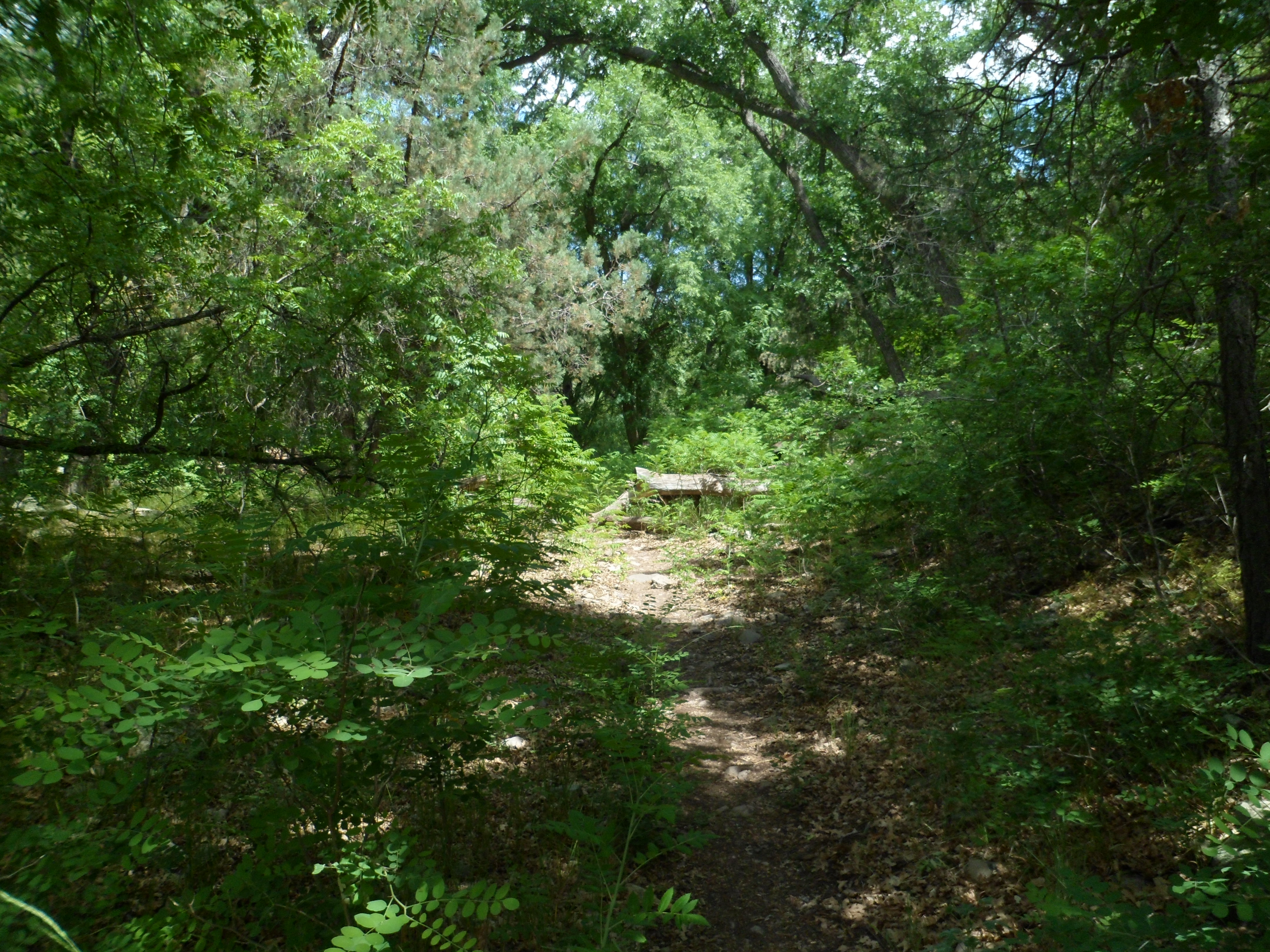
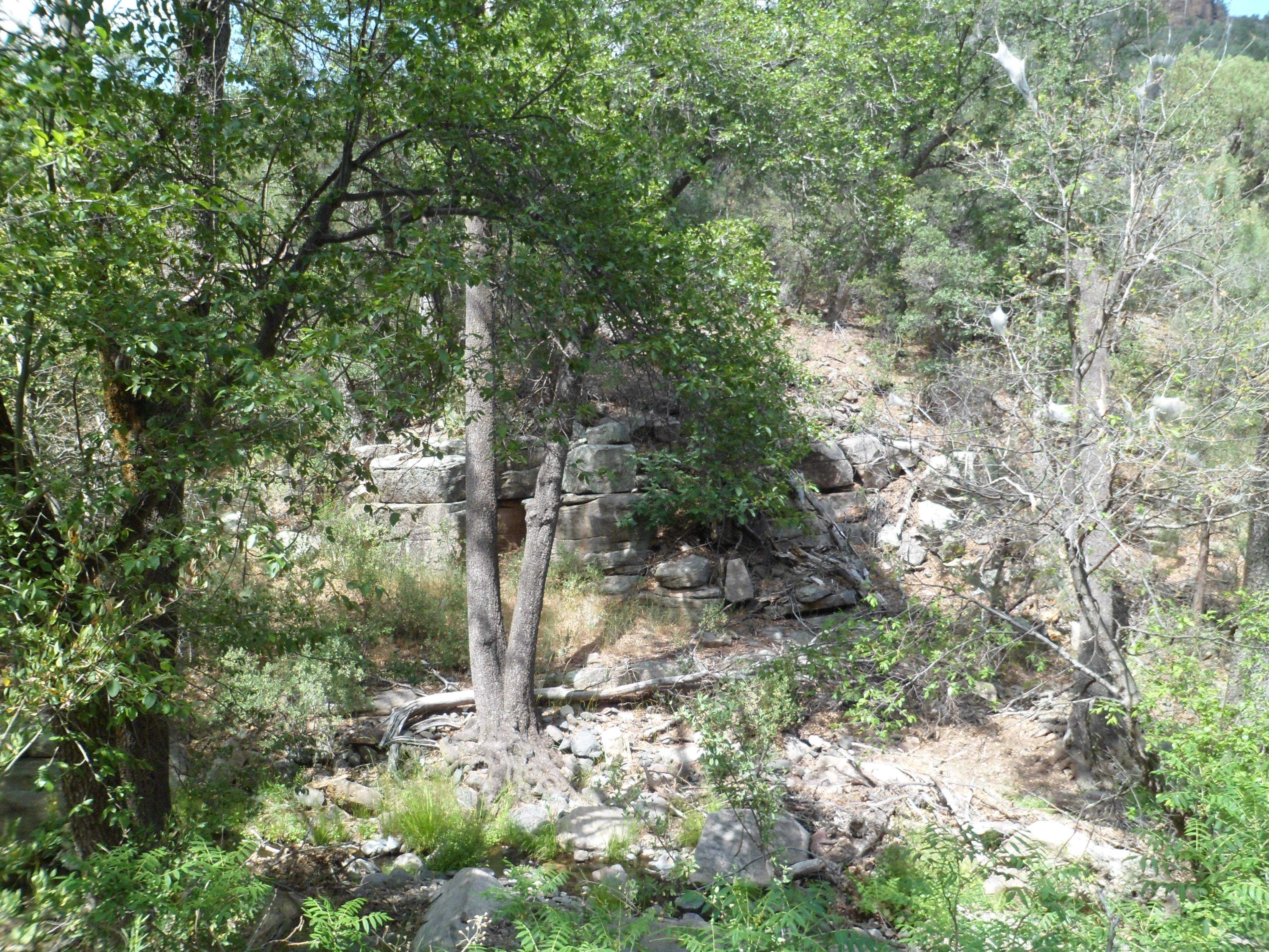
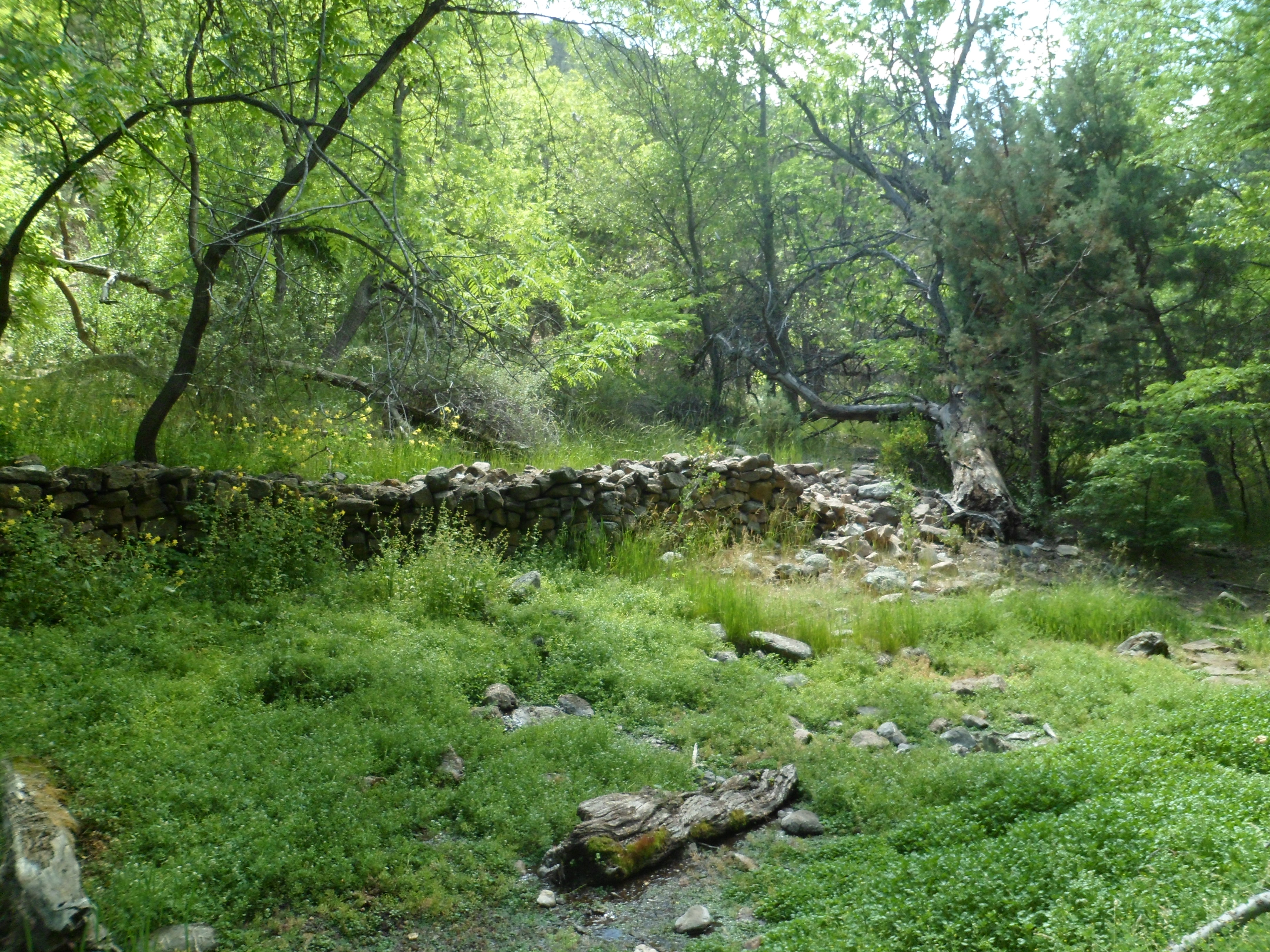
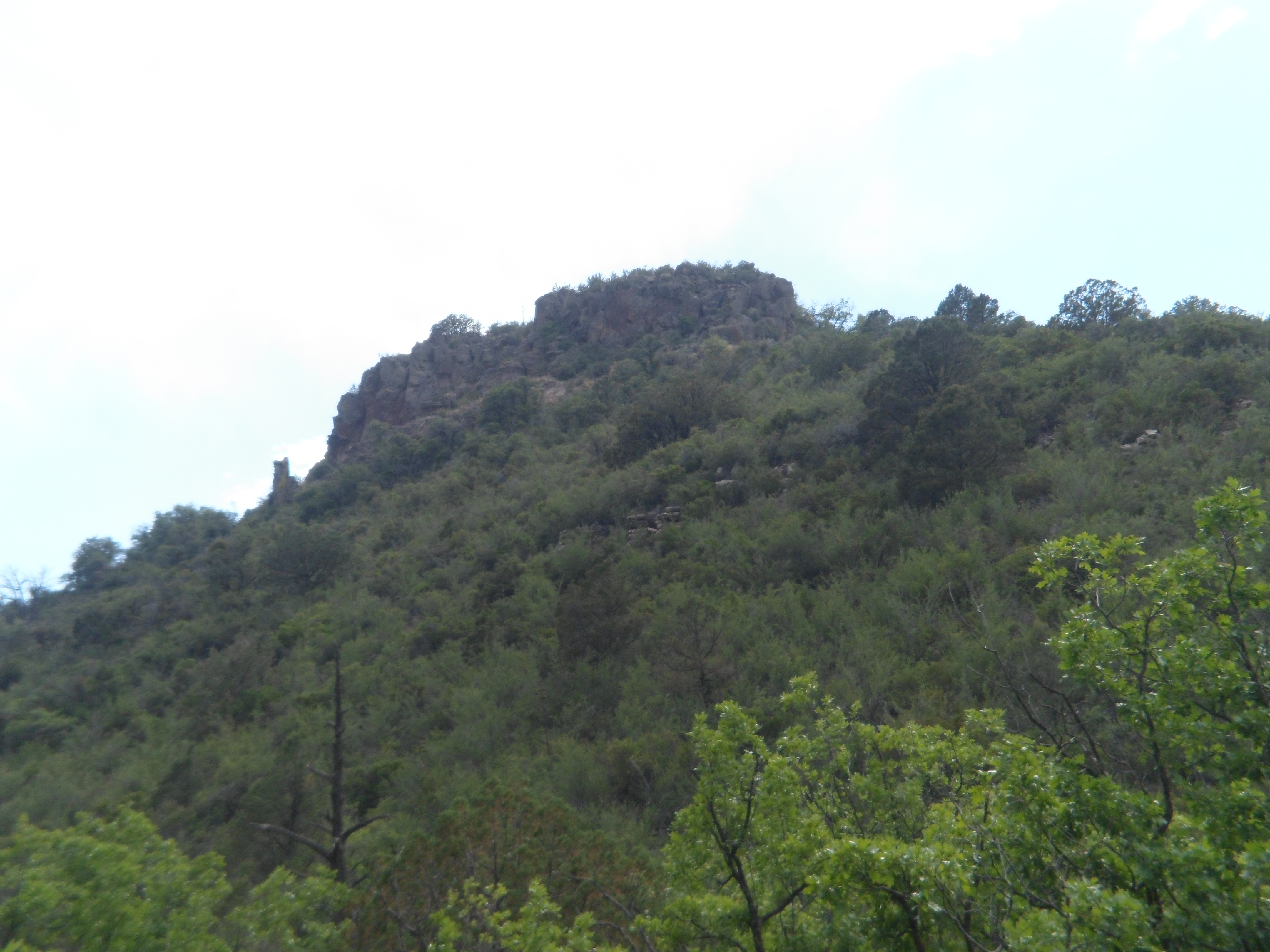
Here are some tidbits of parts two and three of this series.

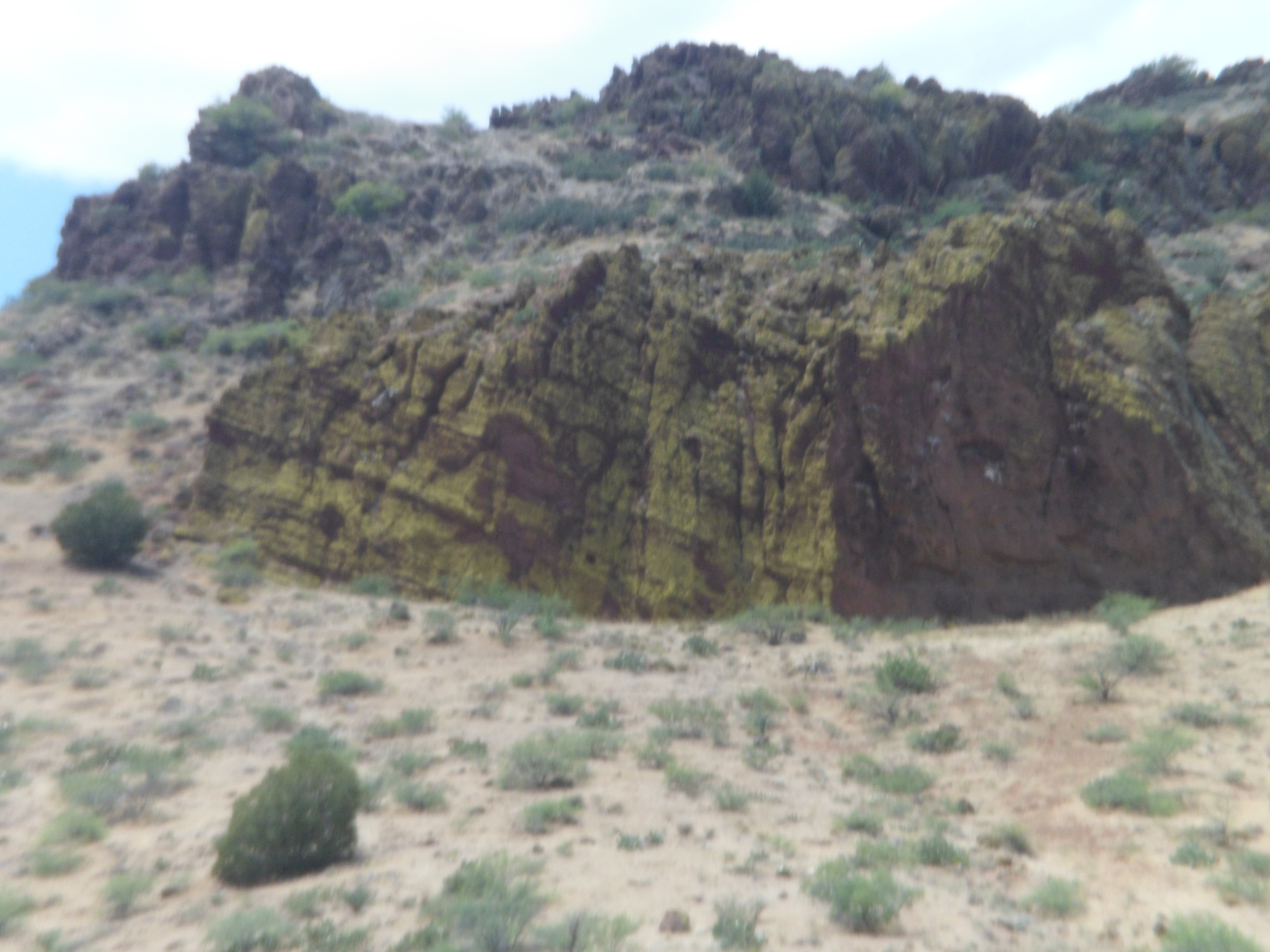
Rhyolite formation, along Peralta Canyon Trail

Brittlebush


Castle-like formation, near Fremont Saddle


Pac Man?

Future chorus members?

Rhyolite castle

The Thinker, Bluff Springs Trail

The consensus among the four of us, at the end of the day, was:  ‘It’s best to not have to sleep under the stars tonight’.  Back in the settled environs of Apache Junction, I stopped to gas up and to rehydrate myself with electrolytes.  As I sat in the car afterwards, sipping my beverage, a jeep pulled up alongside.  Out hopped a lovely young woman, bikini-clad and in flip flops, and moving with a purpose.  She came back a few minutes later, with a similar beverage, smiled wanly and drove off.  My thoughts are that life is always beautiful to those who show respect.  The rhyolite edifices, the wildflowers, the emerging frogs, my fellow hikers, random beautiful people, and even the heard but unseen snakes- all deserve nothing but love and respect.  In this way, we shall have peace.

Part 2- The Rocks and Buttes, tomorrow.

Palm Spring’s Ride to The Top

0
  •  

                                                                                                                                                                            Last Monday evening, I capped a near-perfect April Fool’s Day by taking in the Palm Springs Tramway, one of my long-standing SoCal goals.  The tram goes up Chino Canyon, along the northern slope of Mt. San Jacinto.  It starts in the California portion of the Sonora Desert (also called Colorado Desert, as it extends from the Colorado River to the San Jacinto and San Gabriel Mountains.  The tram starts at Valley Station (El. 2643 ft.) and goes 3/4 of the way up Mt. San Jacinto, to Mountain Station (El. 8516 ft.).

    It was suitably crowded on the way up, with all ages and variations levels of vertigo represented.  i am personally quite comfortable in all but the most open and unguarded high drop-off situations.  I found the tram very safe, to say the least.  The views, both in the tram car and from Mountain Station, were breathtaking.

    Here are some views of Chino Canyon’s walls and floor.


    We came to Tram Platform #2, spun a bit, and continued.  Bear in mind that the tram floor is rotating 360 degrees, as the car ascends and descends.

    The views remained spectacular.


    Once we got to Mountain Station, a ponderosa forest surrounded us.  This tree was just outside the cafe.

    It is possible for a backpacker or speedy day hiker to do a six-mile round trip to the top of Mt. San Jacinto, so long as one starts early enough in the morning.

    Views are also very clear, of the Coachella Valley floor-


    -and of Mt. San Gorgonio, the highest peak in southern California.

    The best views are to be had from Grubbs Viewpoint, when the wind is not too strong (as it unfortunately was when i was up there.)

    Snow was still available for viewing, but not for throwing (Park regulations discourage snowball fights).


    Back at Valley Station, Popp Park affords a few more chances to enjoy the features of Chino Canyon.


    I ended this current California visit with a good night’s rest at Ruta Motel, in Indio.  The proprietor apologized for the lack of Internet, but given the 45 MPH gusts of wind, it was not surprising.  The variety of activities during the 3-day weekend, though, made this a very minor inconvenience.


Son and Sand- Part I: Poway’s Iron Mountain

0

When I make a long drive, lately, it seems as if I get in the car and am transported by a force other than my own vigilance or the tank of gasoline.  So it went this past weekend. After taking a rest, following my Good Friday volunteer training in setting up a fire shelter with the local Red Cross, I headed out towards San Diego, getting as far as Banning, before the need to sleep became prominent.  A night at the Sunset Motel, followed by a hearty breakfast at Gramma’s Restaurant (the food’s good and the waitresses are all cute), got me up and running.  I was back in the force’s guiding clutches, and in San Diego, by 10 AM.

Aram managed to get himself up, and to our meeting place at the NEX gas station, around 11.  After a nice lunch at Chinese City, in National City, we ran an errand at a local discount store.  It was instructive for me to learn the parking lot etiquette of Mexican-Americans.  Drivers queue their cars up and wait carefully for people to pull out- no honking, no jockeying for position.  In my case, I had to move past a lady who was trying to pull out, so the Jeep waiting for her could get into position.  The lady didn’t understand at first, and started yelling at us.  After she figured it out, peace returned to the planet and I pulled around and found my spot.

The errand accomplished, thirty minutes later, we headed up to Iron Mountain, just east of Poway.  There, we hiked about halfway up and took a path around to a bowl-shaped valley, in the midst of four peaks.  Iron Mountain has two trailheads.  We chose the more northerly of the two, as it was less of a thoroughfare, and had lovely flower gardens on its eastern flank.


Aram led the way, for most of our four-mile loop.


We got to the crossroads and decided to enjoy the valley, and its groves of trees, rather than push upwards to the peak of Iron Mountain.  It’ll be there for future visits.


As you can see, the boulders speak volumes.

Here are the groves which captivated me.


Then again, there is no escaping the magic of SoCal’s flower gardens.

As I would see on Monday, at Crystal Cove, flowers can thrive just fine on their own, as well.

Son and I went back to San Diego and enjoyed quality Italian cuisine at  the lively Trattoria Fantastica.  I spent a restful night at Day’s Inn, ignoring the occasional train.

In part II of this account, we look at Coronado Island.

Beyond Las Vegas’s Cover

0

Last weekend, my brother and sister-in-law began a week-long business trip to Las Vegas.  Being only four hours away from El Ciudad de Los Pecados, I made the trip and met them at Hoover Dam, which they had never seen up close.  This is indeed an engineering marvel, and even though it tamed the Colorado River, and invoked the eternal wrath of Edward Abbey, is worth being seen by every citizen of Planet Earth.  Before getting to the dam, I stopped briefly at one of the Arizona-side inlets of Lake Mead:  Temple Bar.


Temple Bar was so named for Temple Butte, which in turn was a name bestowed by early Mormon settlers of the Las Vegas area.

Once at Hoover Dam, I focused on what mattered to  my siblings:  The Power House.  This was my fourth visit to the dam and second time in the Power House.  The tour was just as enlightening this time as it was in 1992.  Without the bedrock, there would be no underground generator.


My Dad, a turbine engineer, would have been proud of this feat.

Being the seeker after nature, I avoided all but the most fleeting, perfunctory contact with the Casino Crowd.  The House Floor is merely on the way to Las Vegas’s finer restaurants, and nothing more.  Brother and I had a far nicer time on Sunday morning- at Las Vegas’s signature gem:  Red Rock Canyon.  This national recreation area could easily occupy me for a week- and maybe it will, one of these years.  Three hours on Palm Sunday, though, was an exquisite first visit.


As usual, I was in my element.

Southern Nevada has plenty of places that can find their way into the heart.  Red Rock Canyon is chief among them.

This weekend, it’s time to get back to one of my other favourite nearby haunts:  San Diego.

Pueblo La Plata

2

Top of Perry Mesa, Agua Fria National Monument, AZ

When I recently visited Deer Valley Rock Art Center, in north Phoenix, the docent made several mentions of Hohokam ruins atop Perry Mesa, in Agua Fria National Monument, southeast of our lovely mountain town.

On the way back from my weekend visit to the Valley of the Sun, the urge hit to check out the area most clearly identified by the Bureau of Land Management as having such ruins:  Pueblo La Plata.  It lies at the business end of a narrow, rocky and rather uninviting switchback, but as luck would have it, the road was dry and the rocks were not jutting up too high for my little Kia to handle.  When we got to the top, the scene above greeted us, looking like a stunt double for the Bonneville Salt Flats.

SAM_4104

I parked Kia Optima off to the side of the road, giving her a chance to get some serious rest.  Another 1 1/2 miles of hiking northward brought me to the remote Hohokam site.

There are 32 “rooms” preserved here, very much indicating that some serious living took place on top of Perry Mesa, long before Perry showed up here.  This is the northernmost area settled by the Hohokam alone.  They did visit the areas now occupied by Prescott, Camp Verde and Mayer, but there were other groups there as well.  So, Pueblo La Plata, with its proximity to Silver Creek, hosted a sizable community of farmers, traders and hunters.

SAM_4111

SAM_4114

Numerous shards of pottery and arrowheads may be found, in a couple of places arranged on flat rocks, for visitors to see and hopefully not add to their private collections.  A ranger was present, while two couples and I were enjoying the views.

SAM_4112

After about thirty minutes, it was time for me to head back.  Kia and I had no trouble going down the grumpy old switchback.  You can see an SUV from California likewise made short work of the downhill.

SAM_4119


There are other areas of Agua Fria I’d like to visit sometime soon.  I need Kia for several more journeys though, so next time, I may just park at the foot of the switchback, and pretend Perry Mesa is the South Rim of Grand Canyon.