The Way Past Self-Inflicted Pain: The Road to Medicine Wheel

26

The whole inappropriate comment thing was stuck in my mind, all day, July 19.  I was soothed a great deal, though, by the beauty of Shell Falls, and the delightful meal at Elk View Inn, which is all by its onesies, about halfway between Powell and Sheridan, in north central Wyoming.  I also got to check the Web, and take my medicine.  As I’ve said elsewhere, the worst thing I can do to someone, in my own head and heart, is to hurt their feelings.  I had thirty years of sensitivity training, and it’s second nature now.  I still feel terrible about this, my friend.

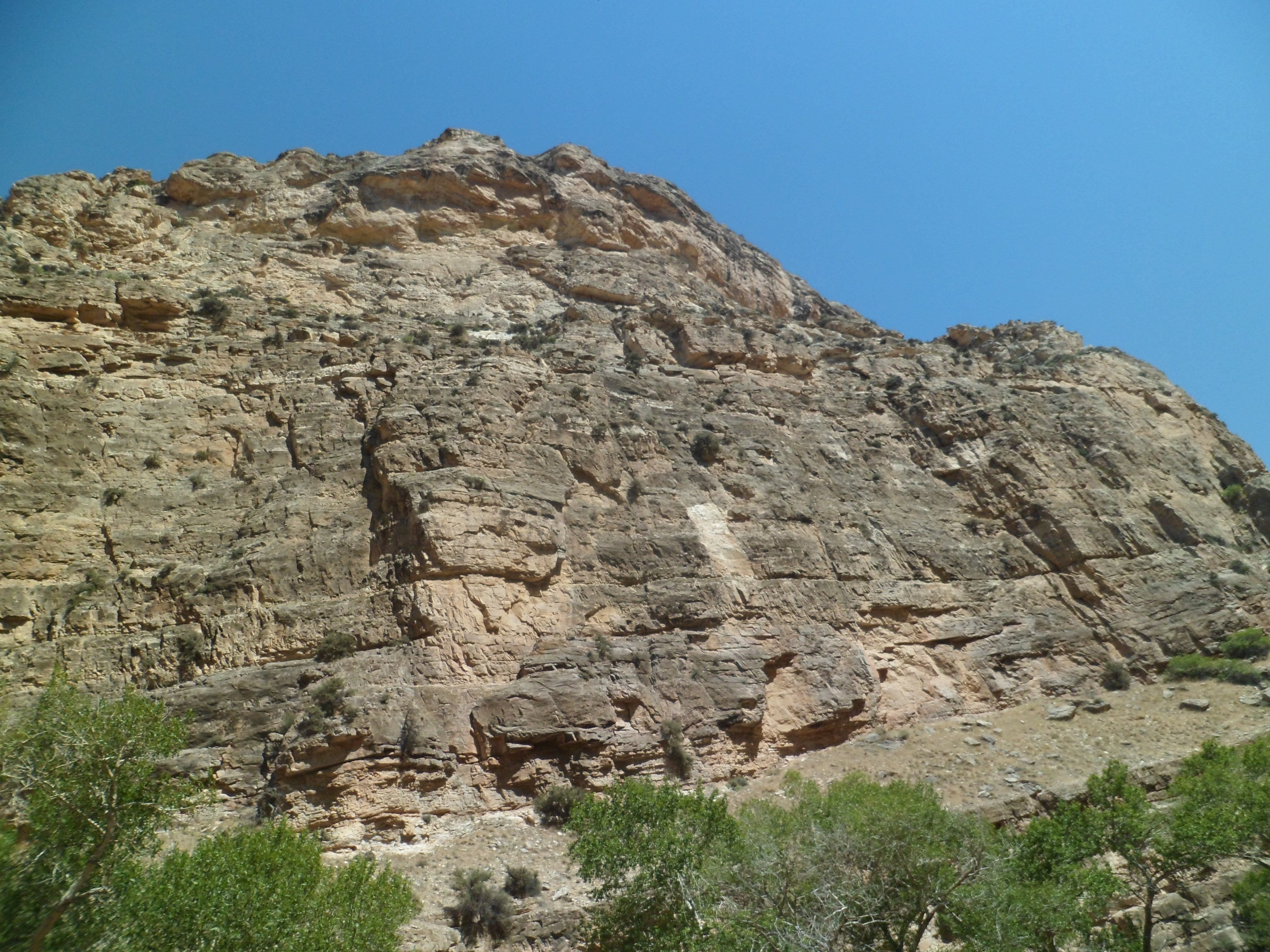
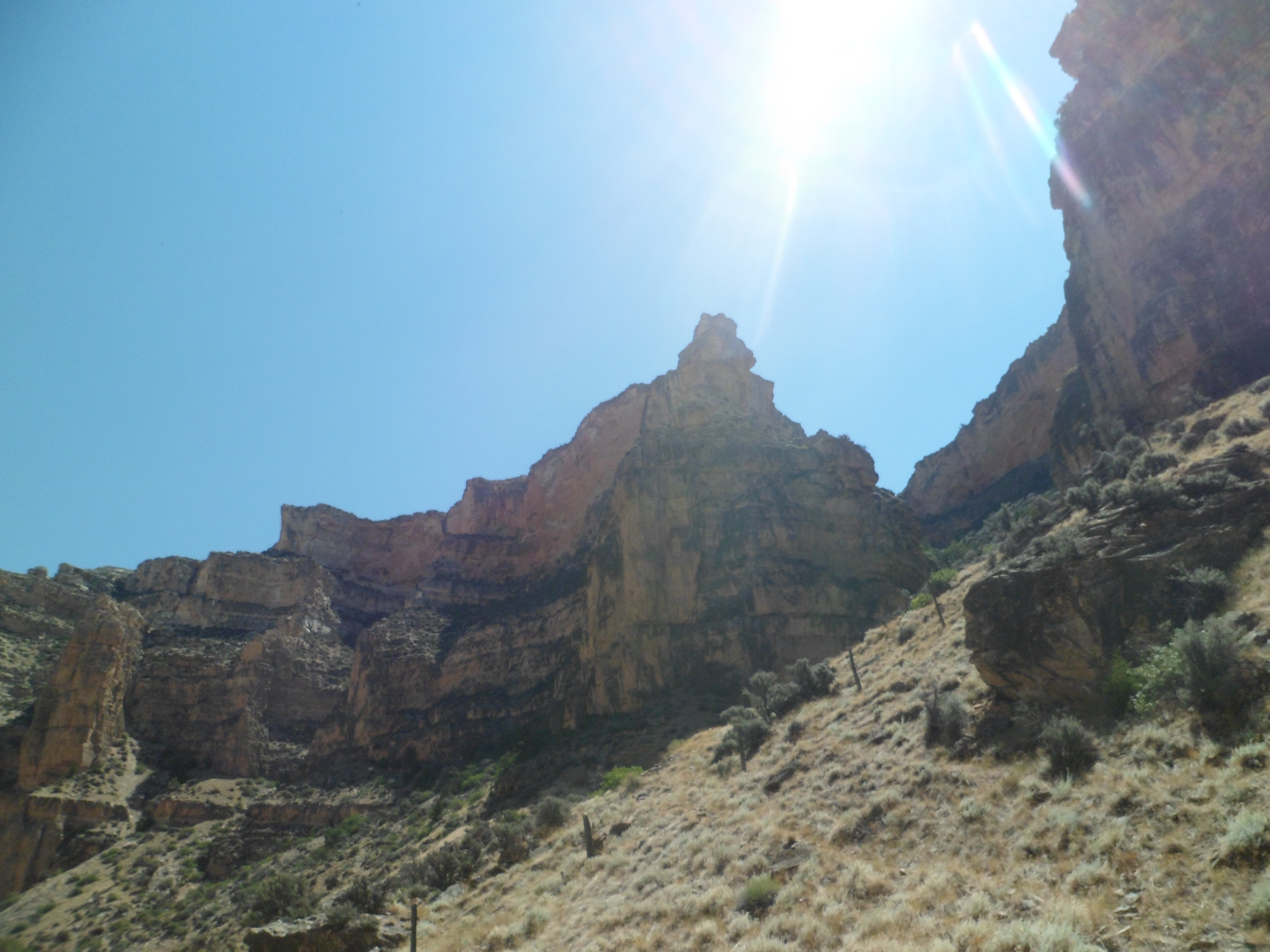
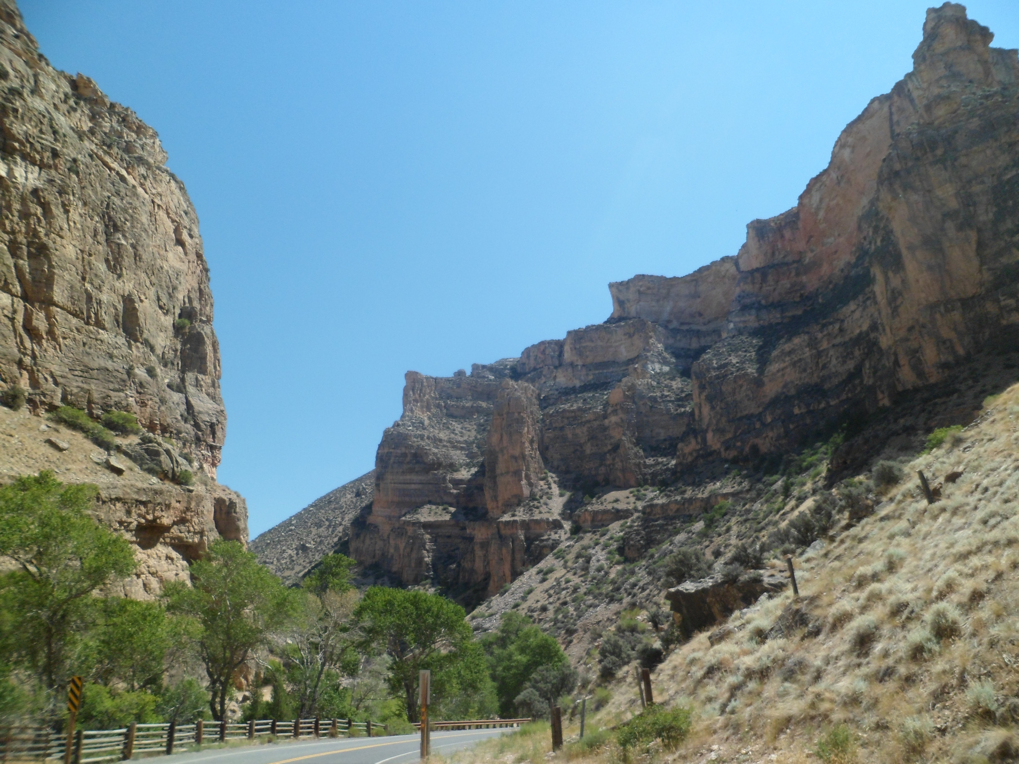
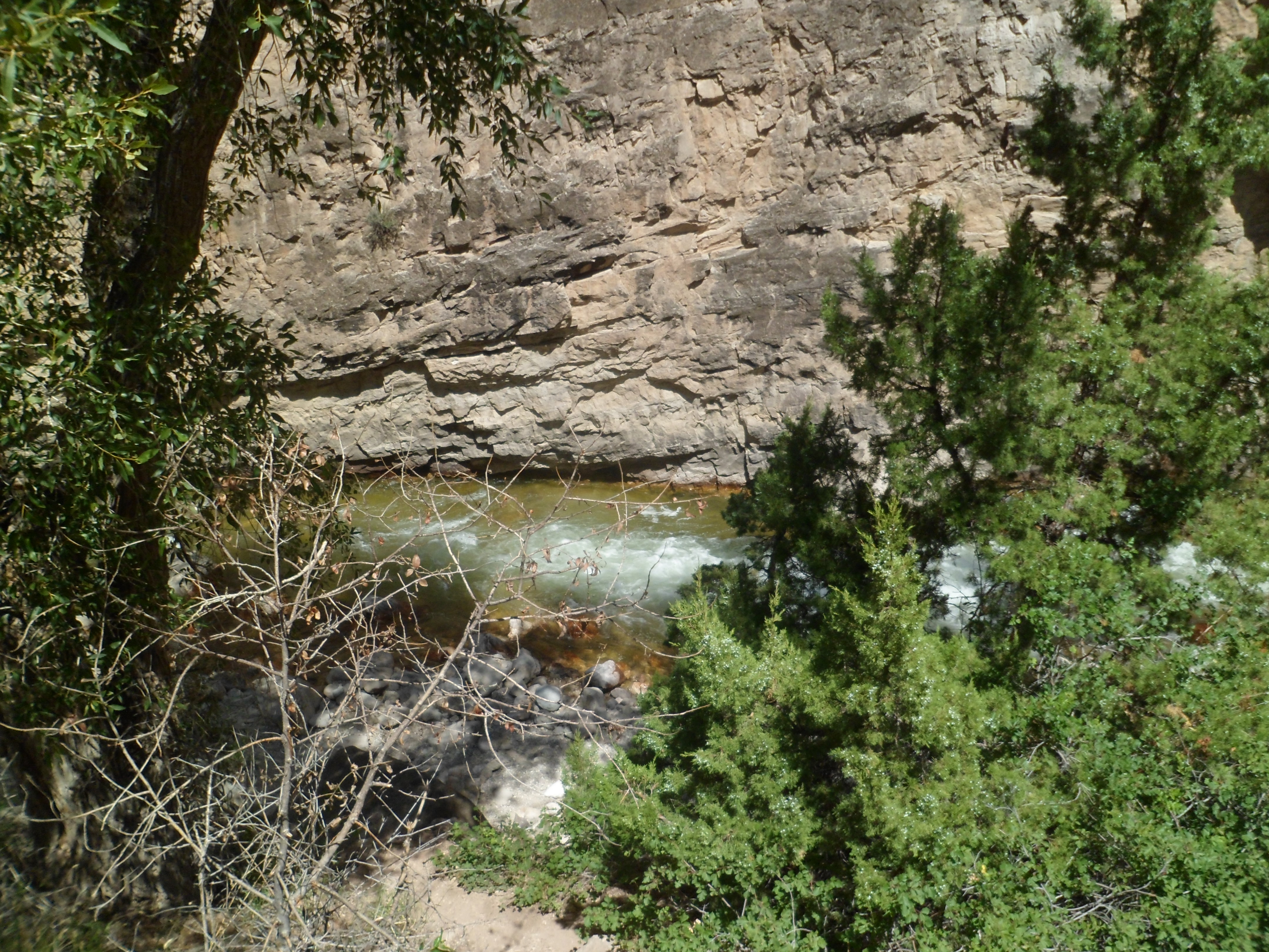
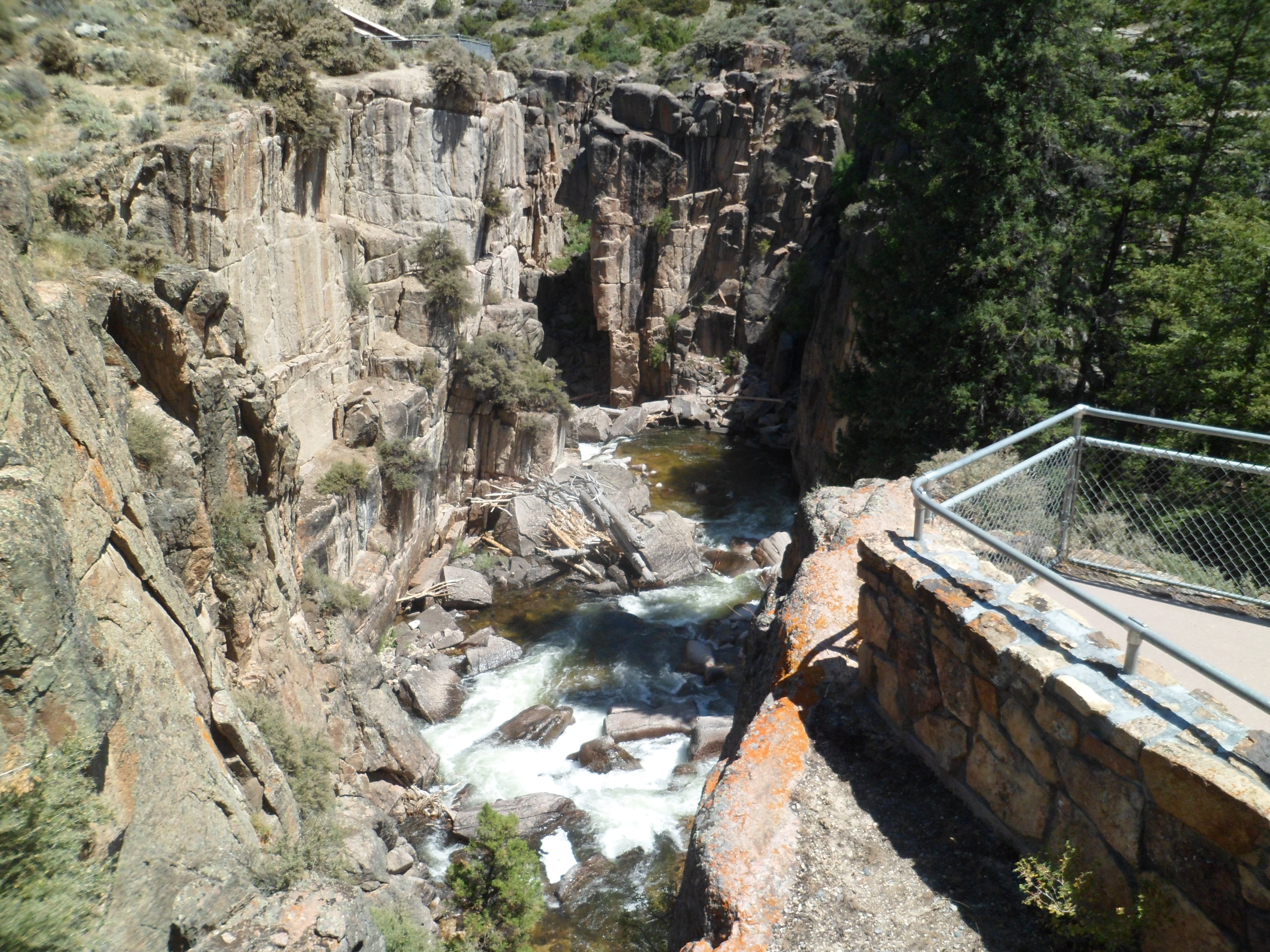
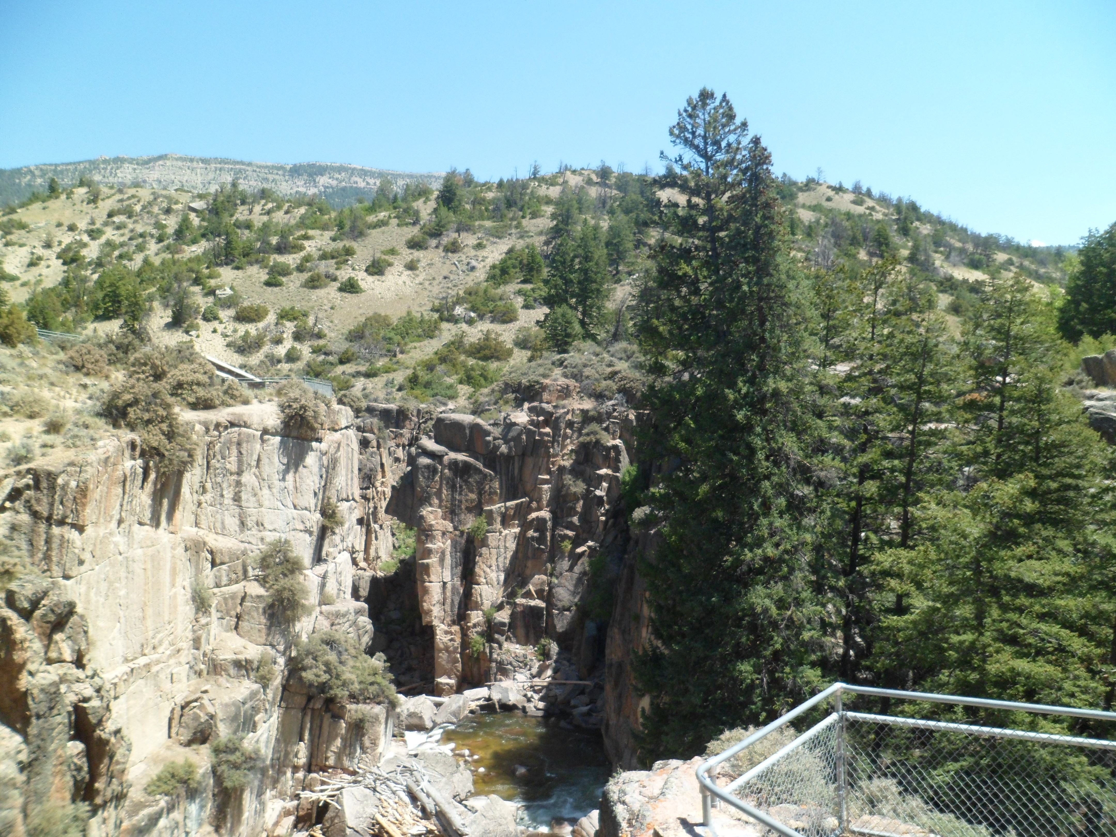
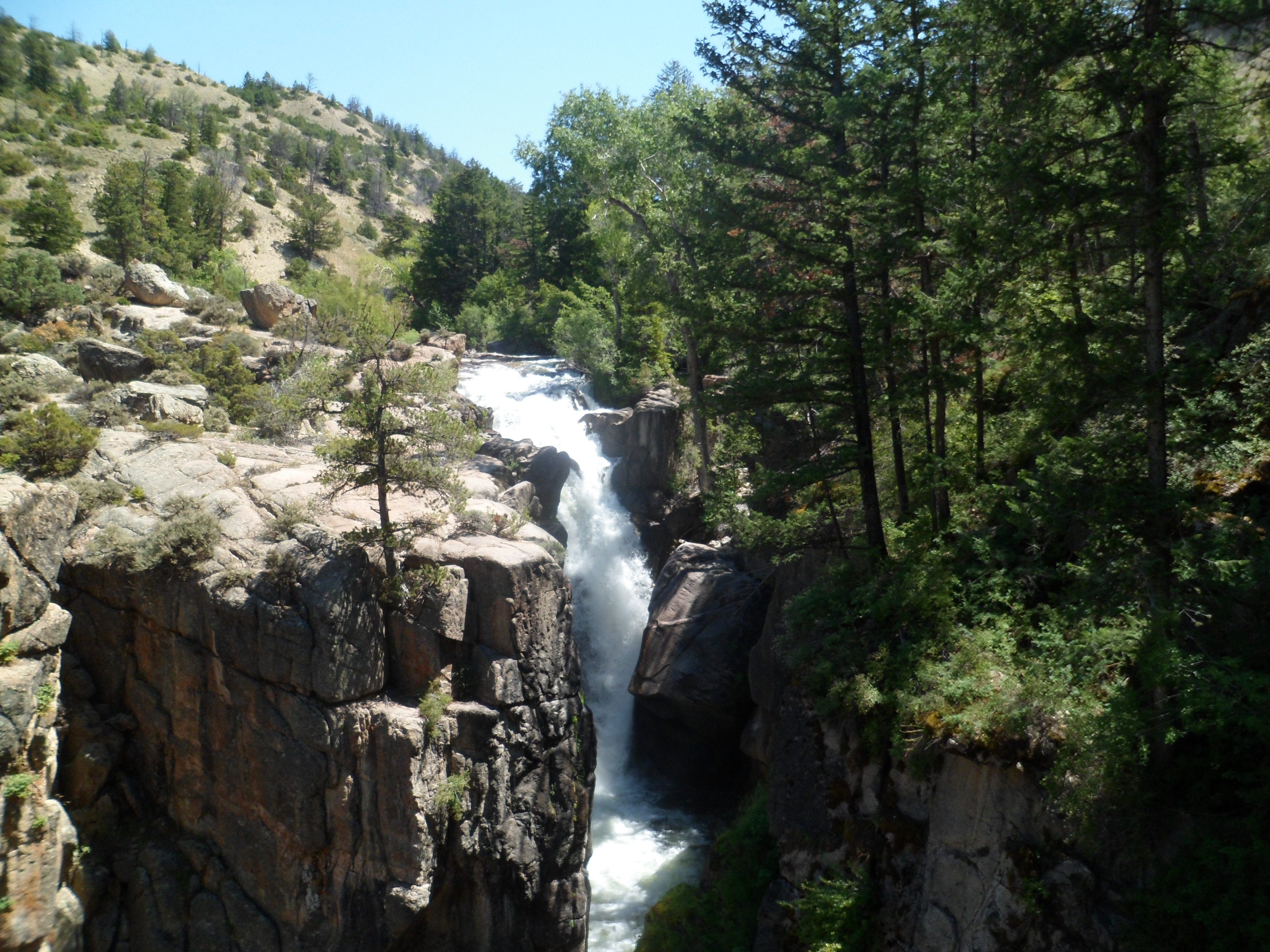
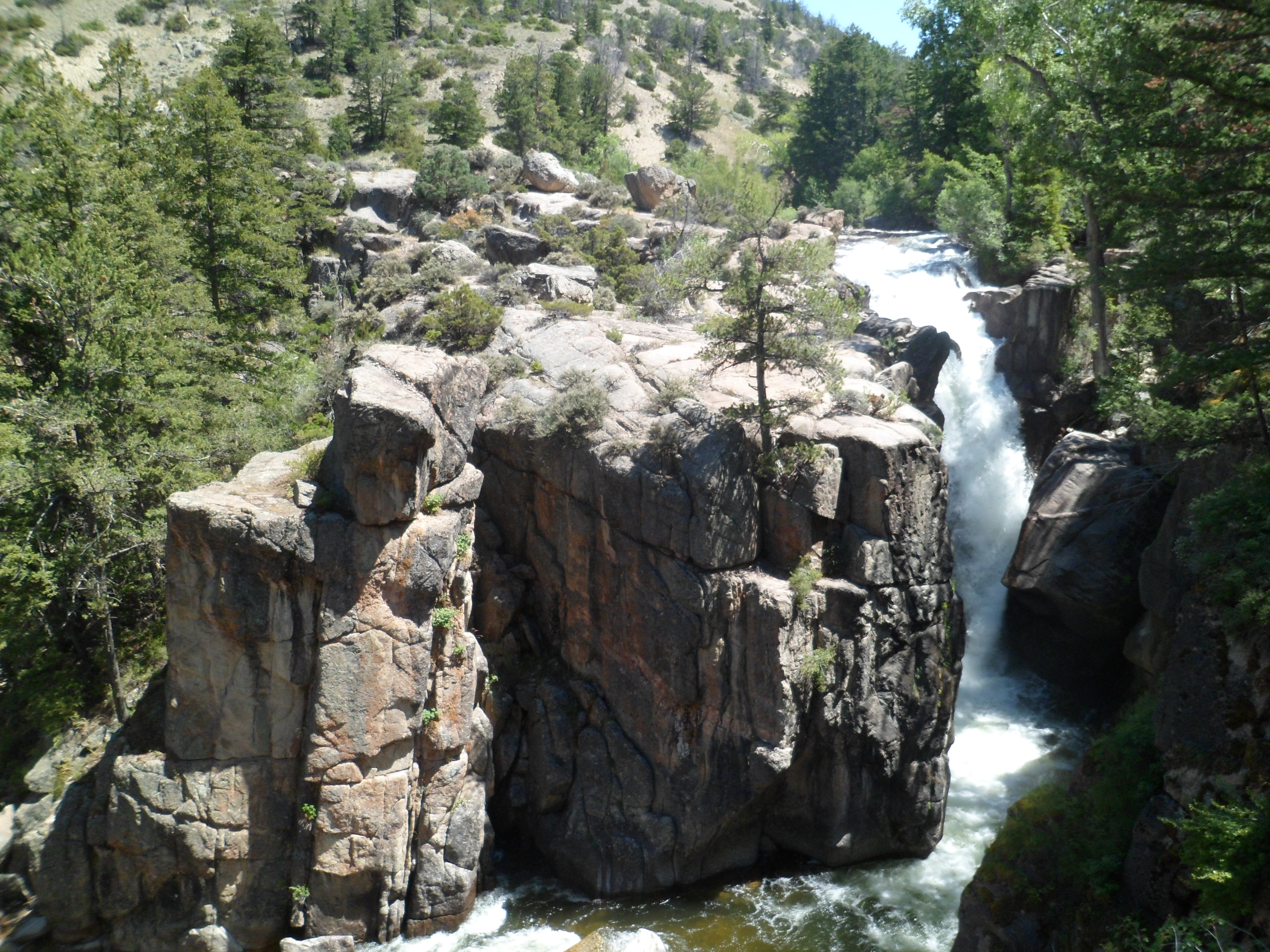
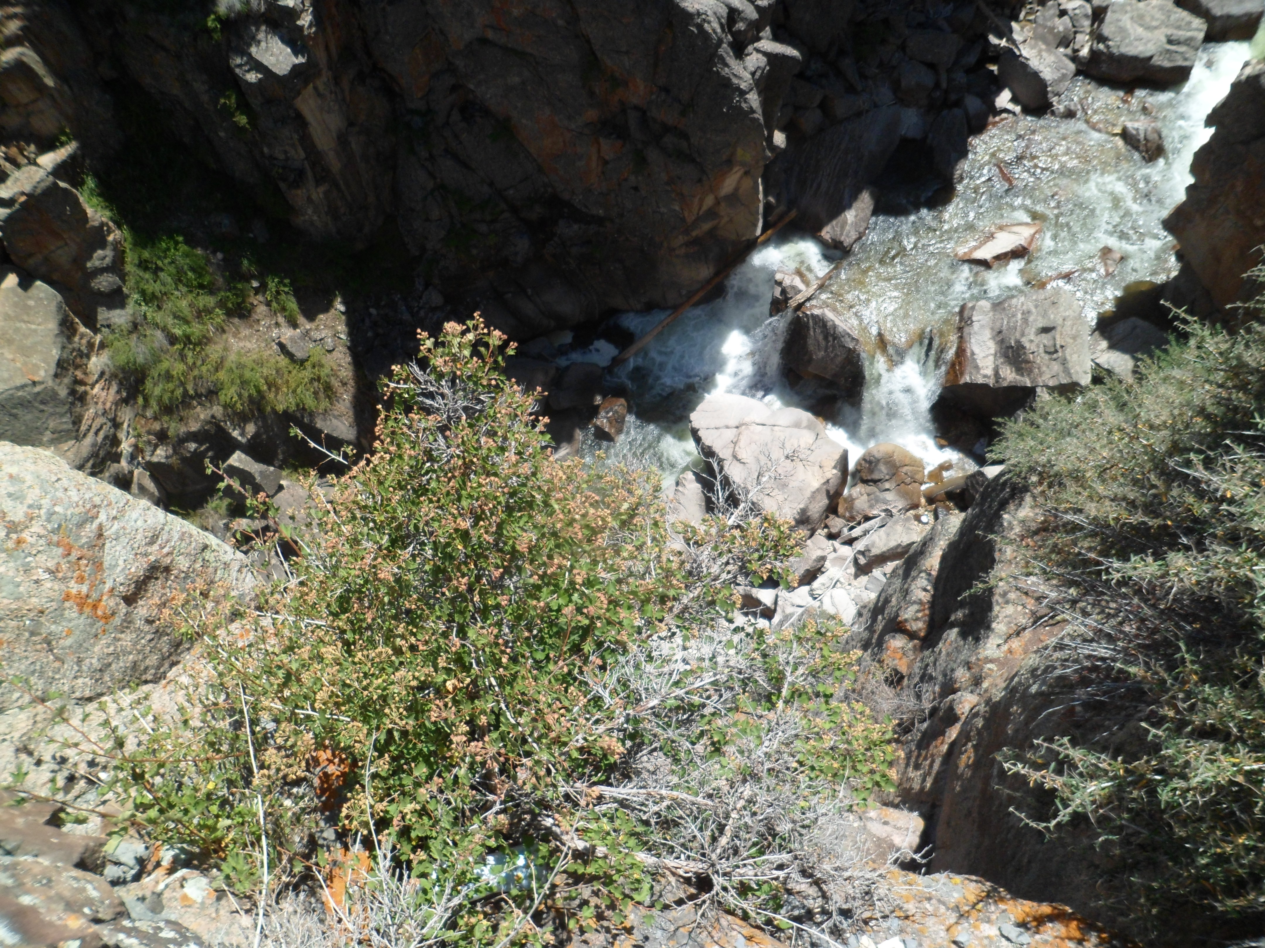
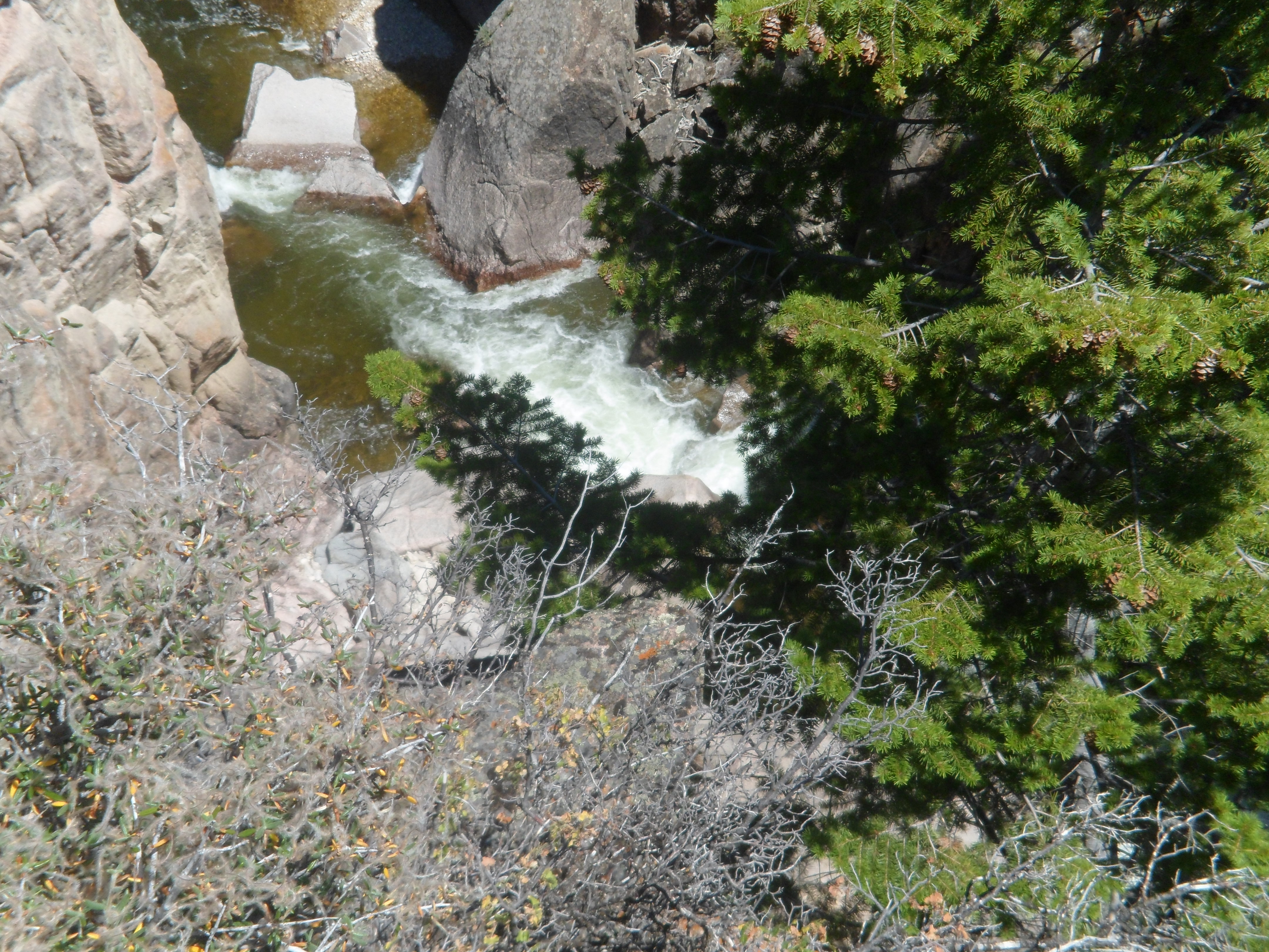
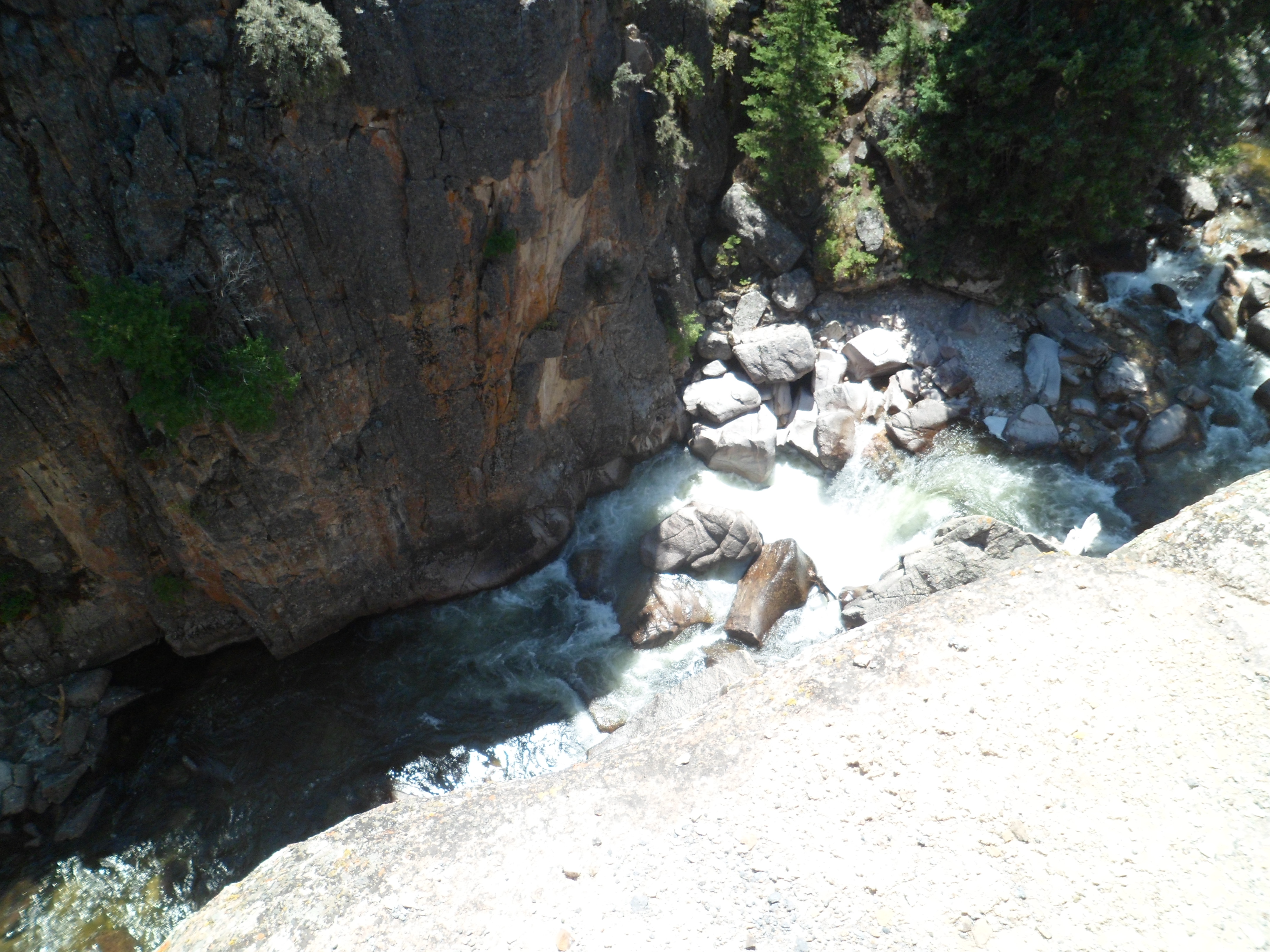
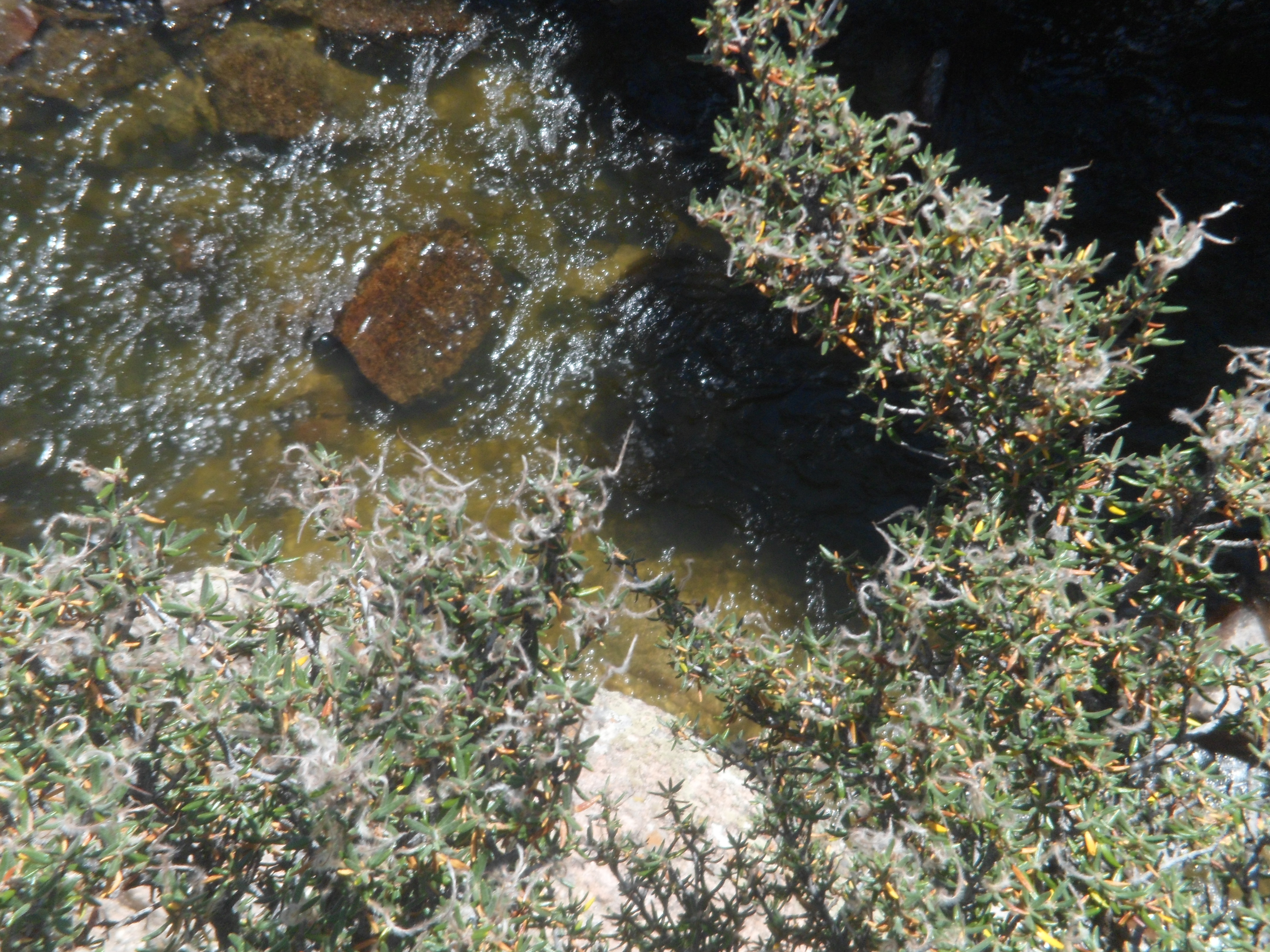
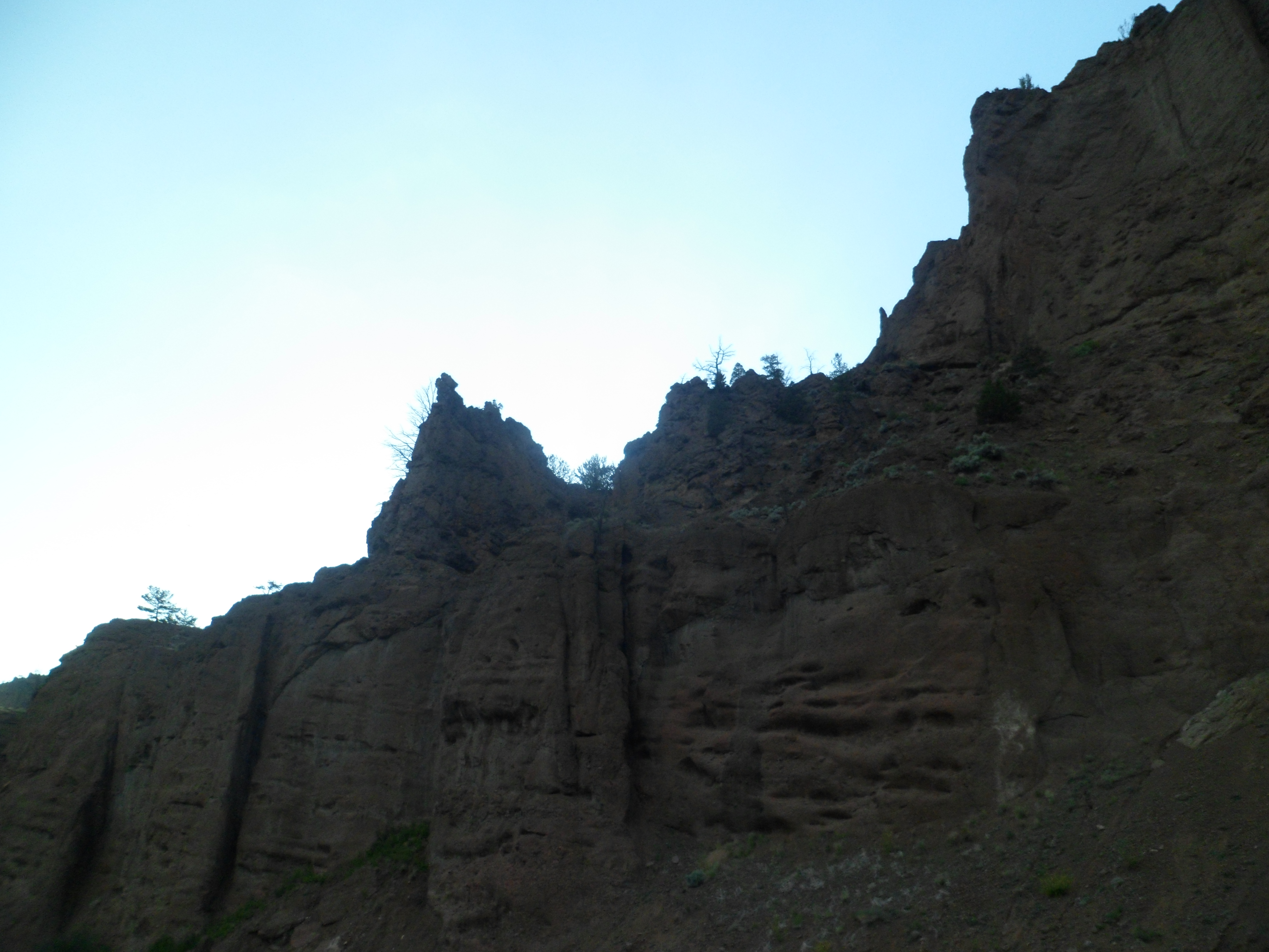
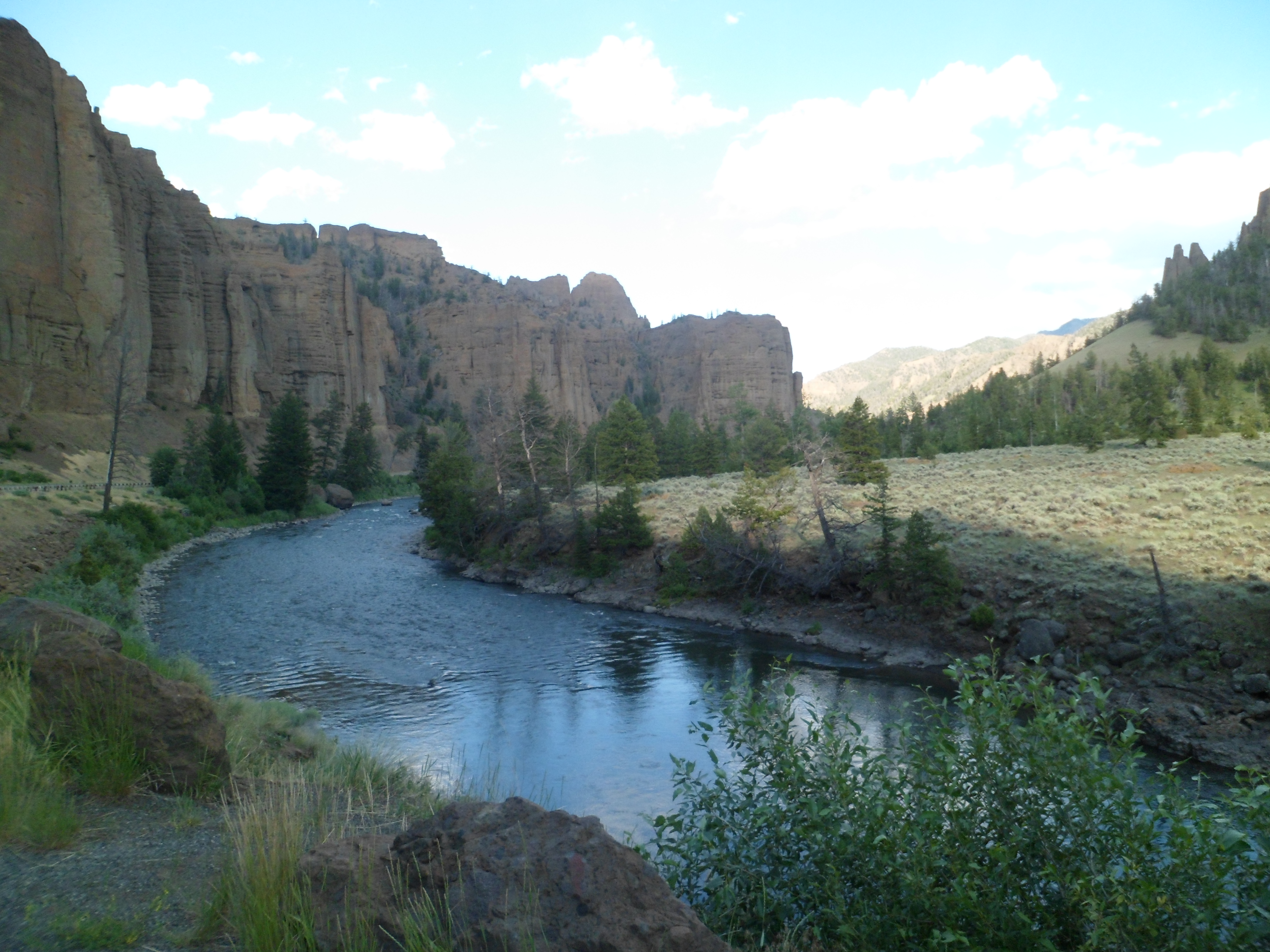
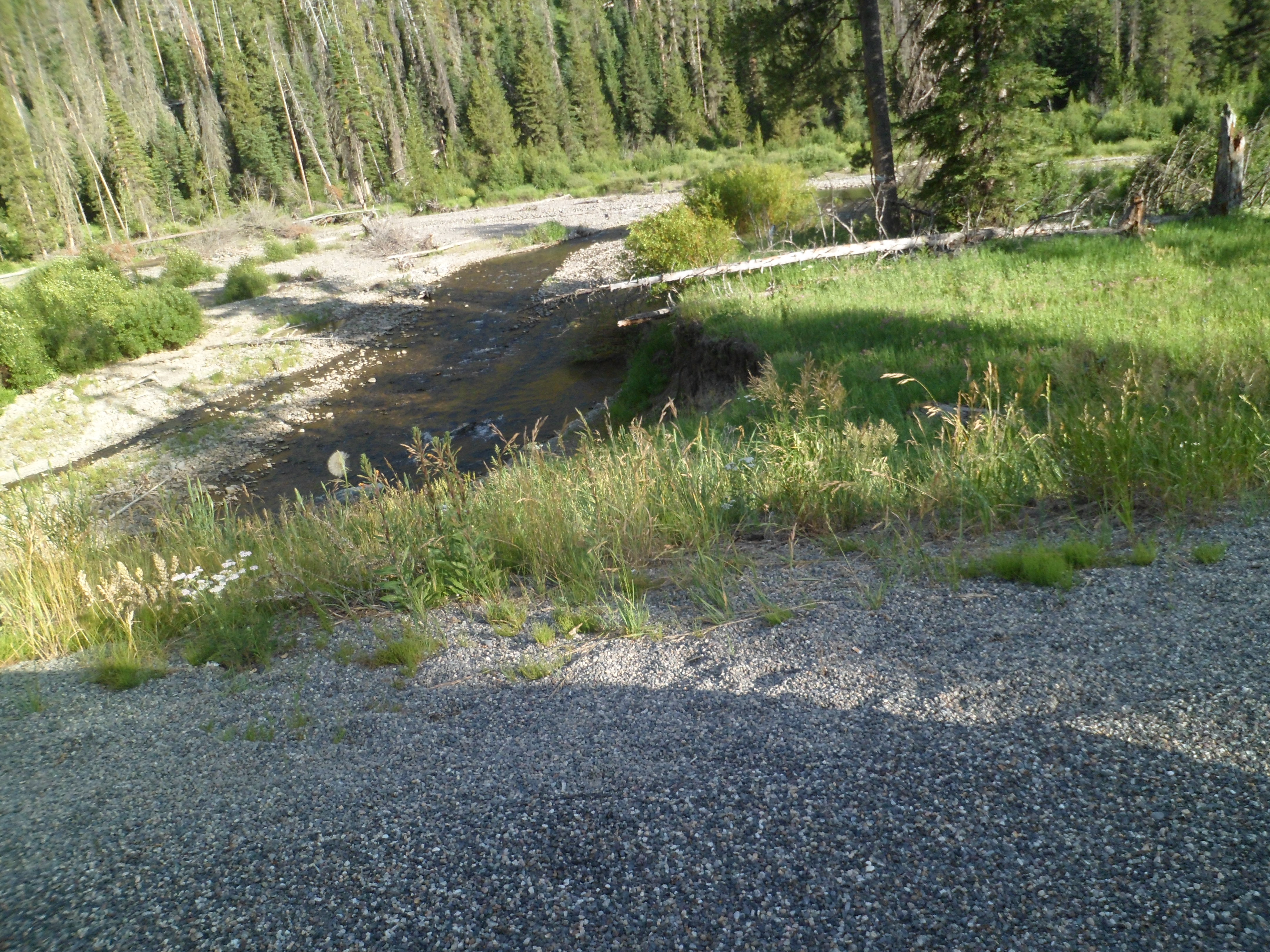
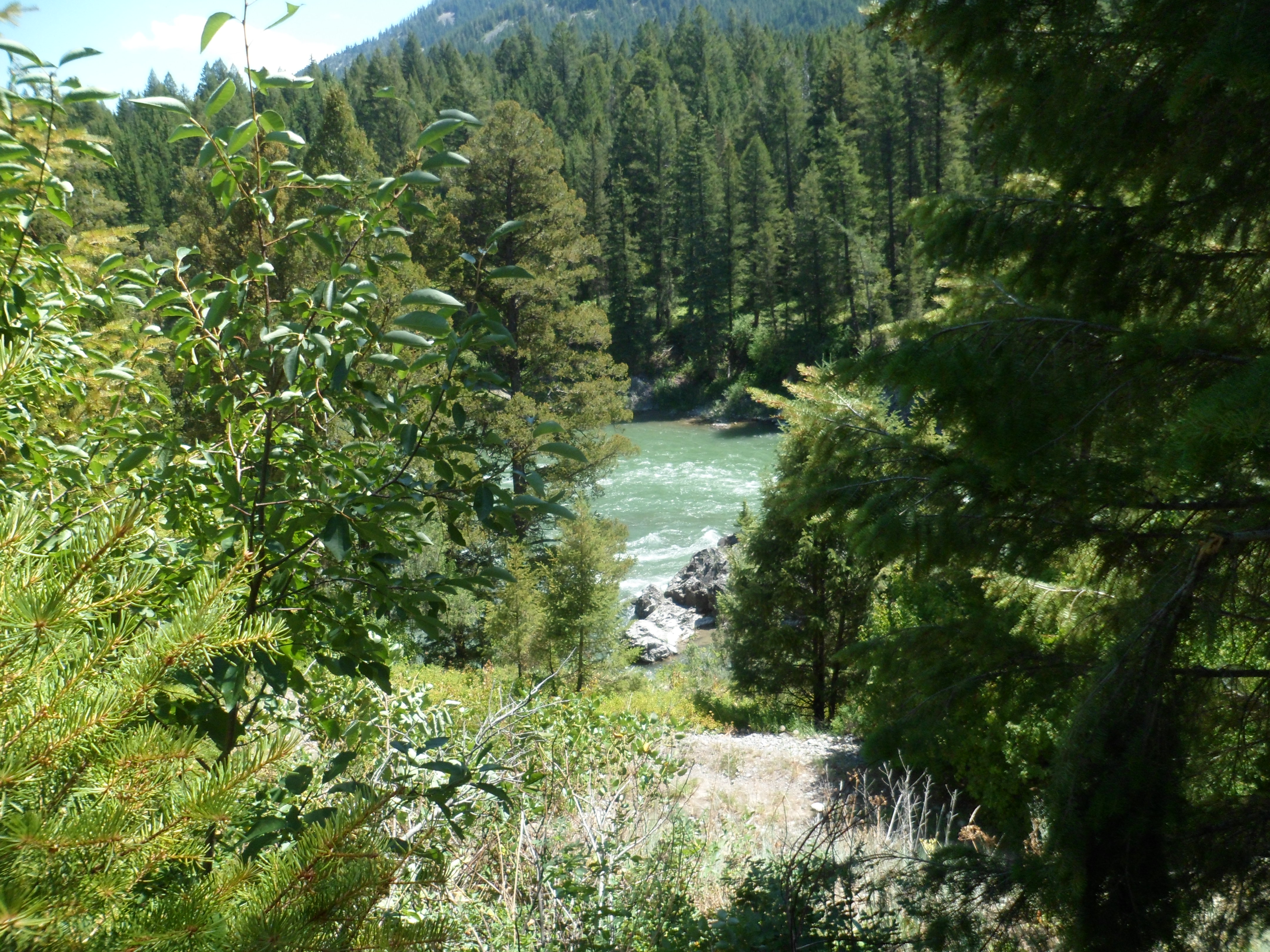
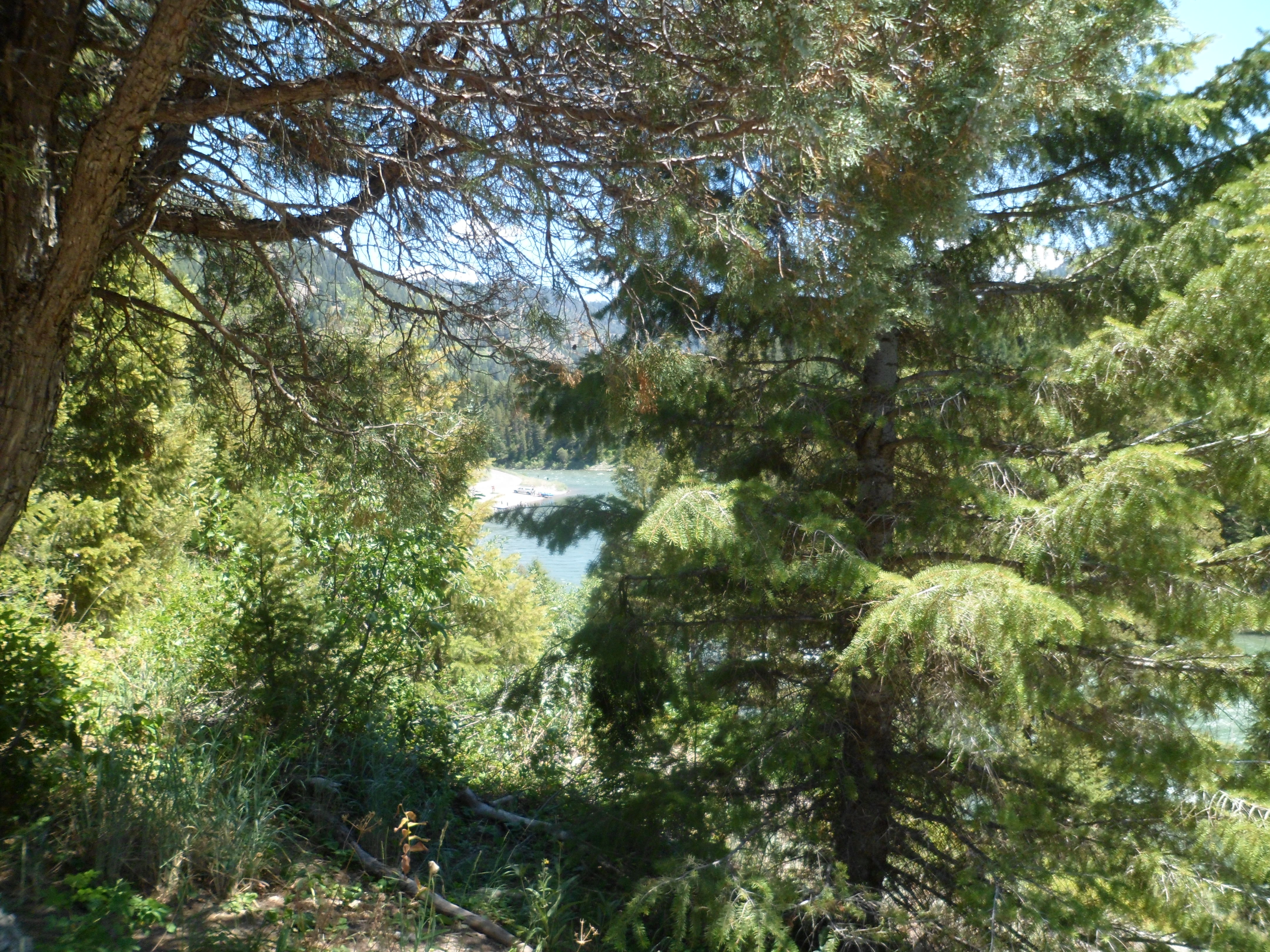
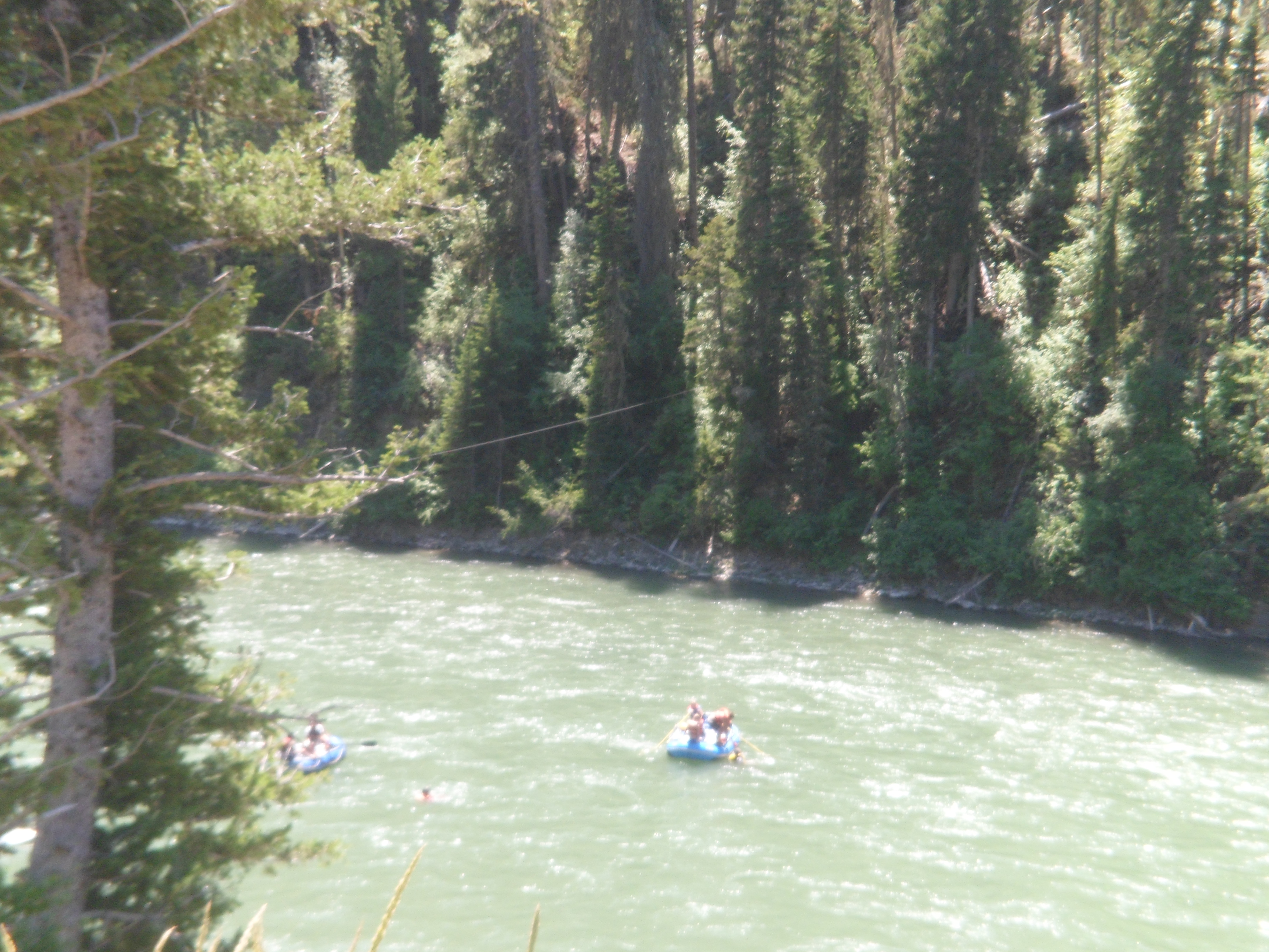
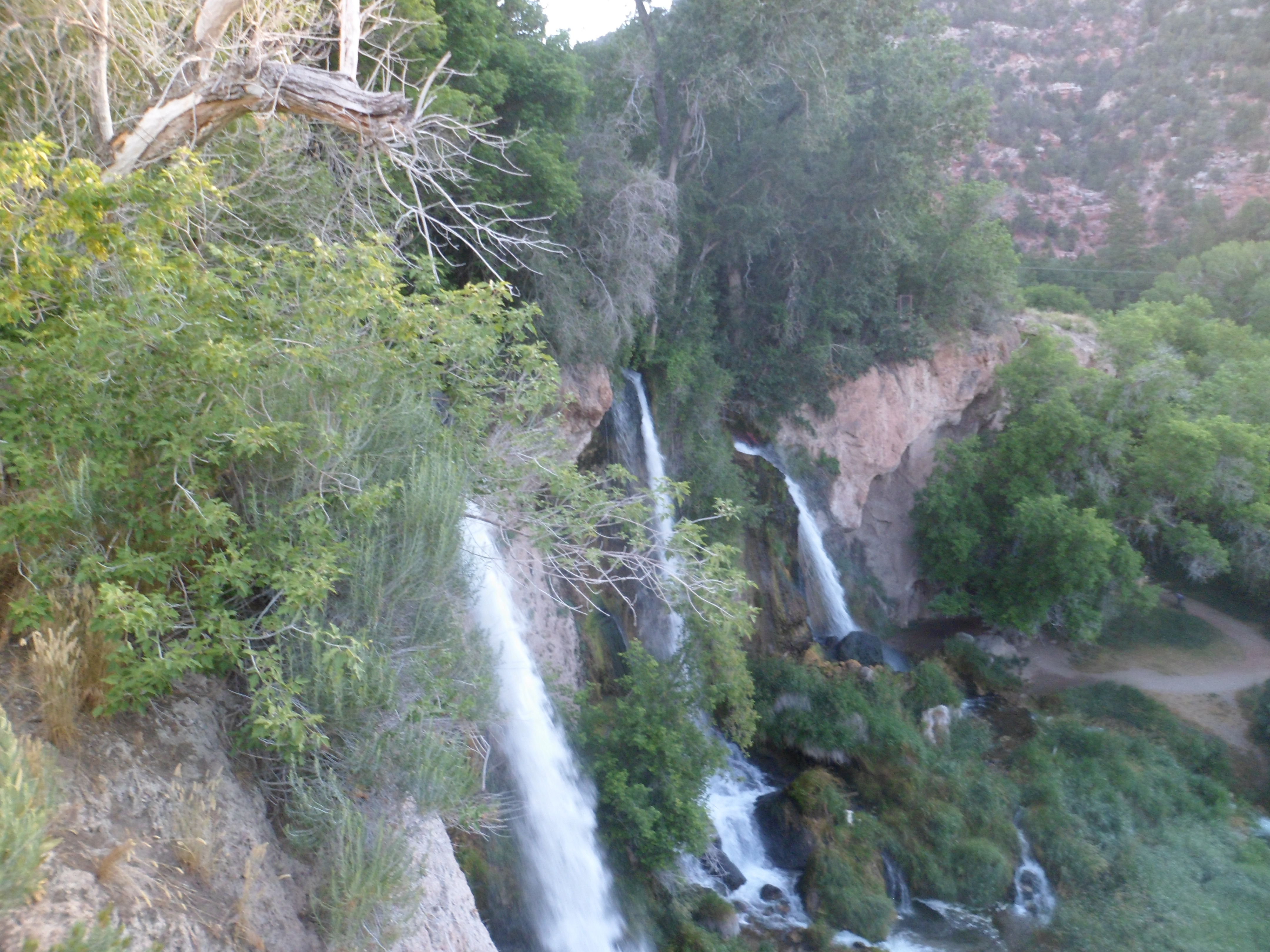
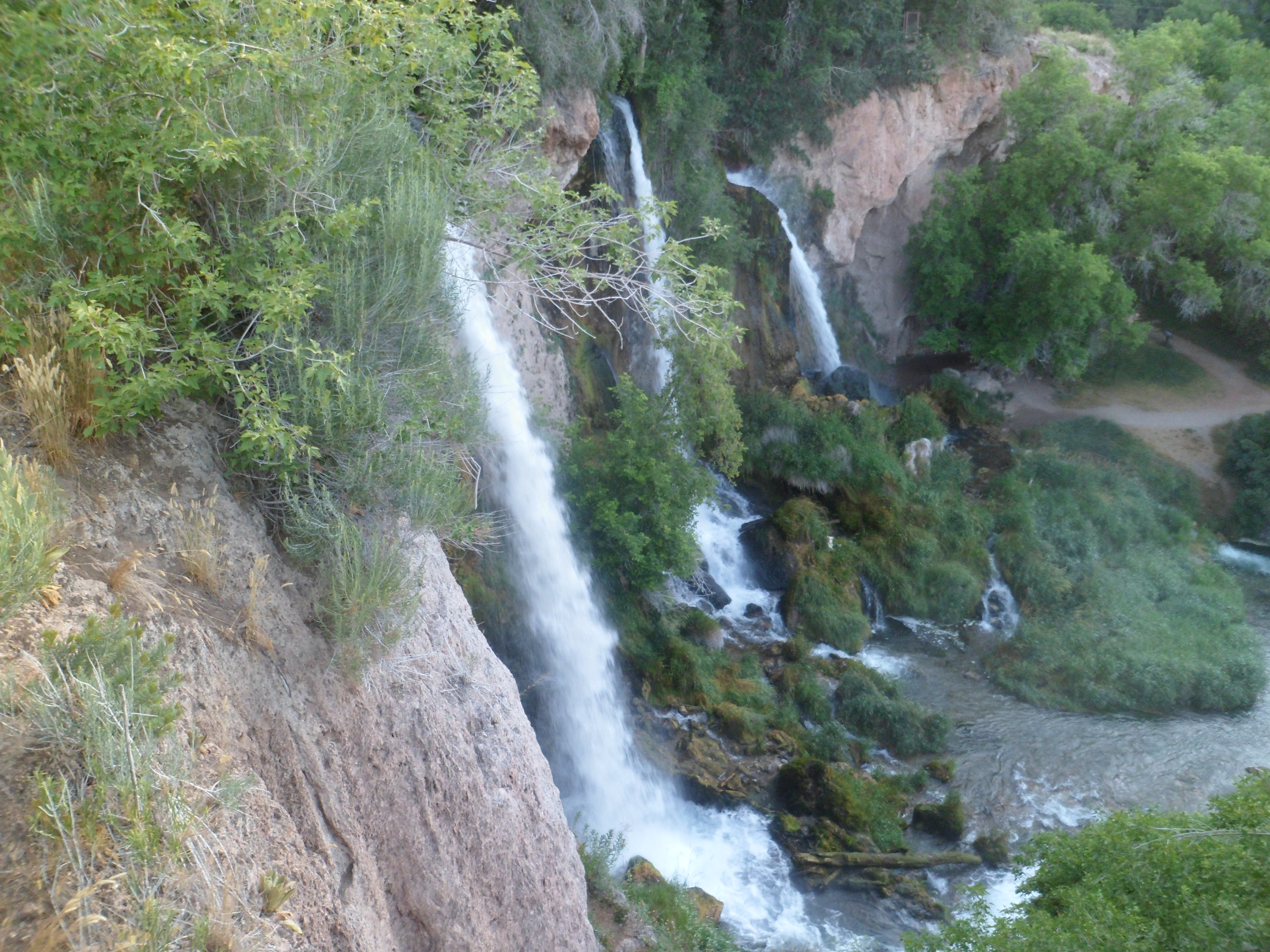
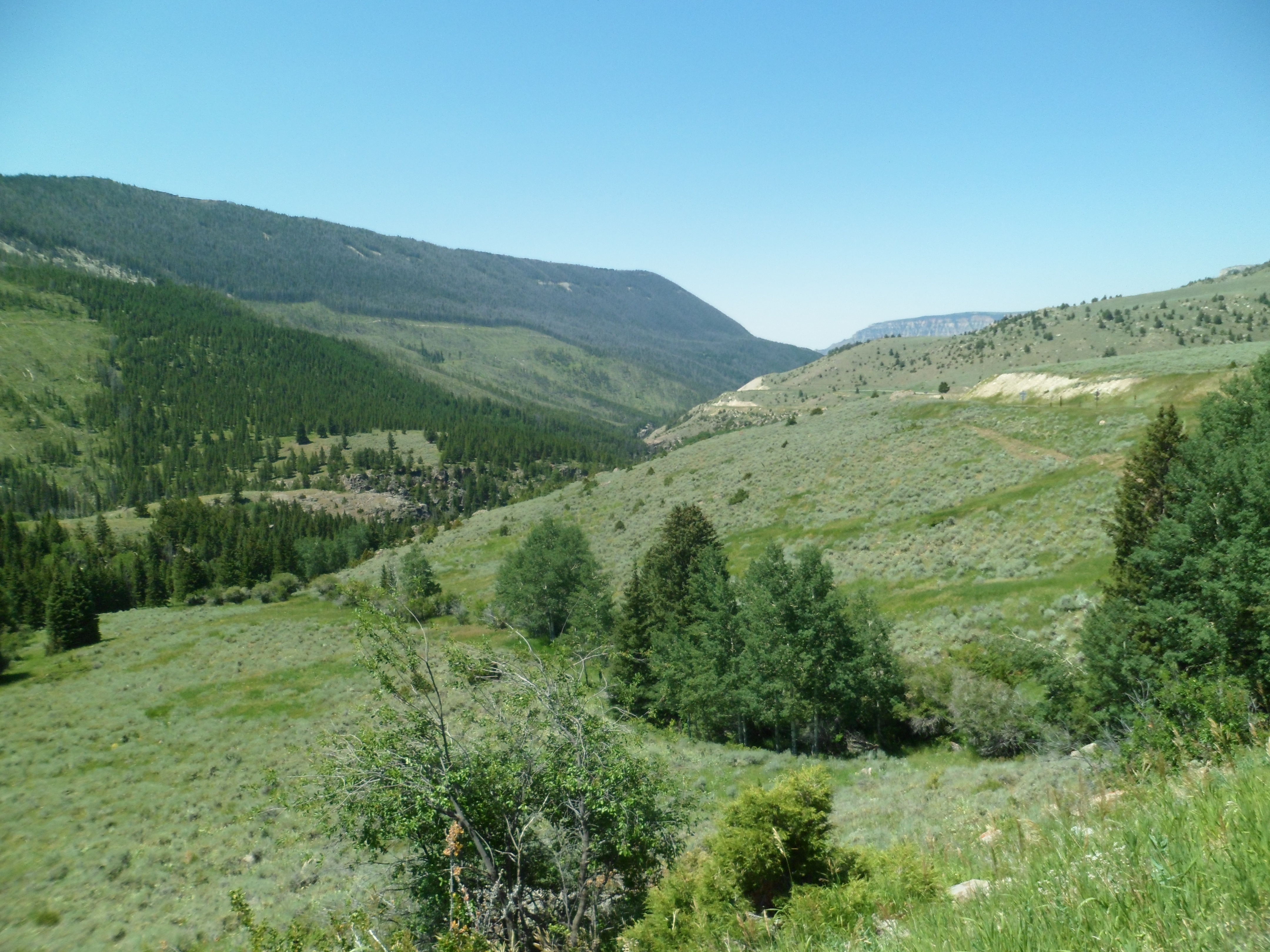
Elk View Inn, though, tried its best to help me feel great again, and it got me through the day.  So did some fine scenery, from the top of Shell Canyon (below), to the foot of Medicine Wheel Mountain.

SAM_5513

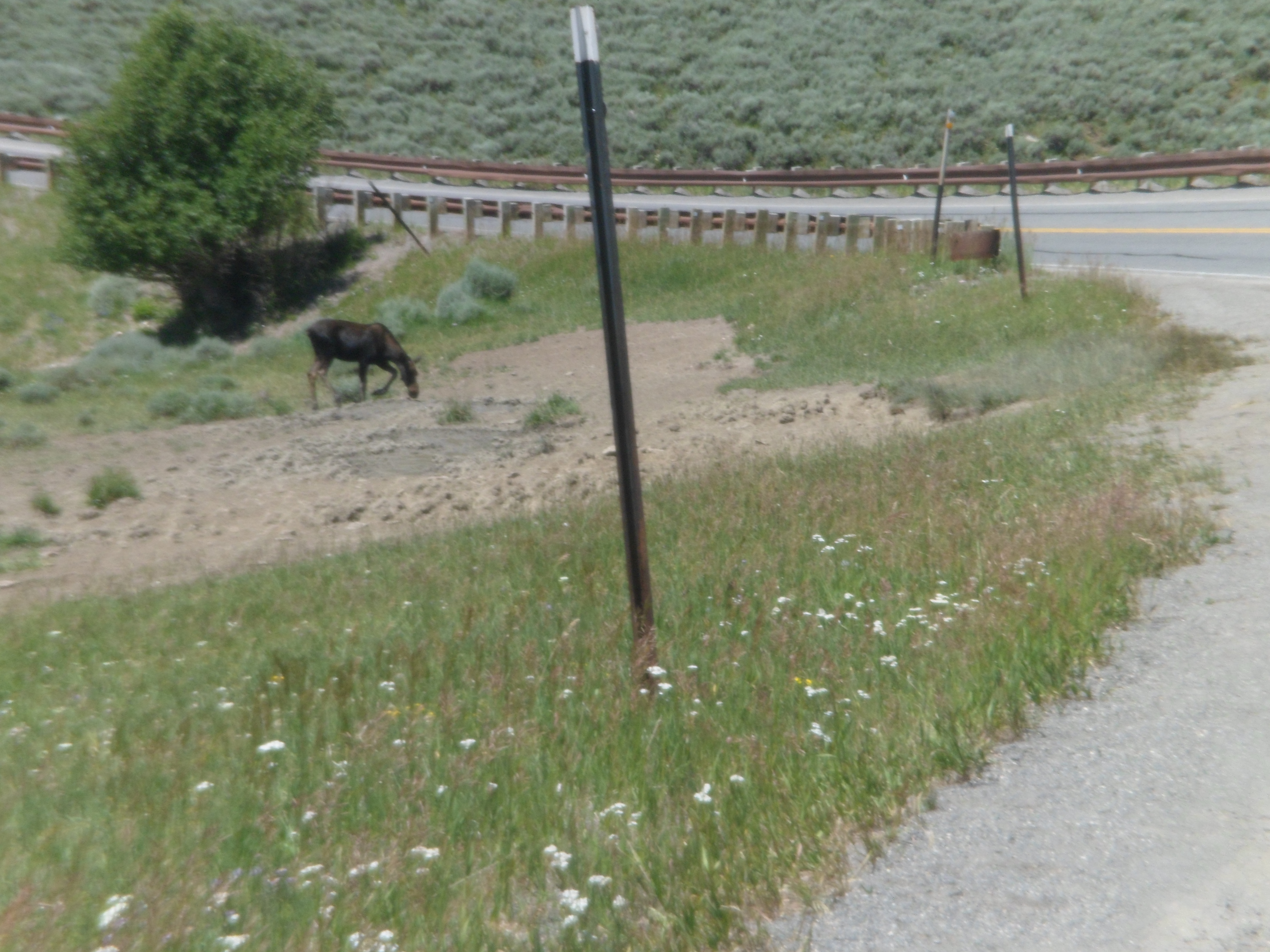
Rounding the corner, at the top of the canyon, I encountered a juvenile moose, enjoying a meal.

SAM_5514

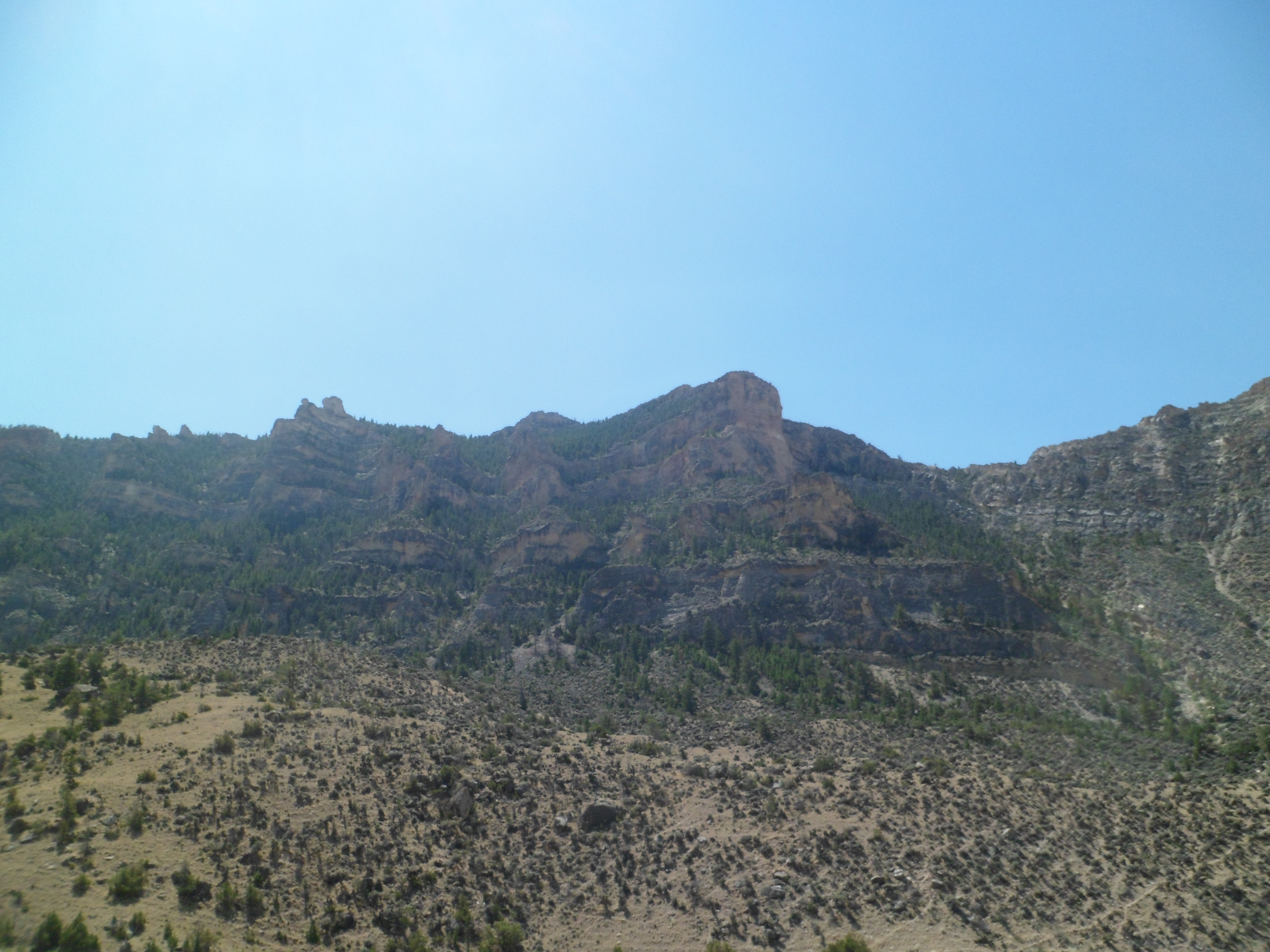
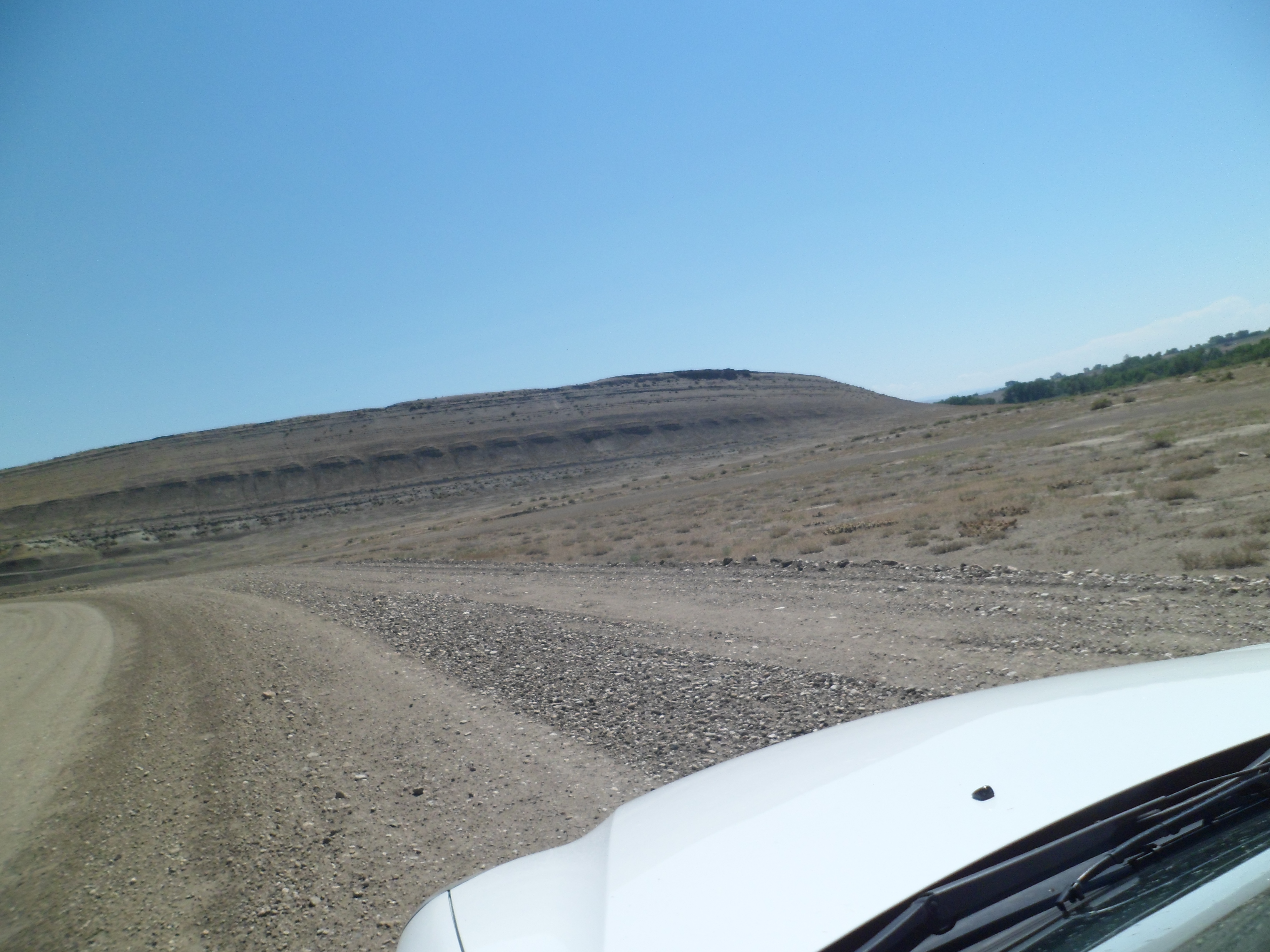
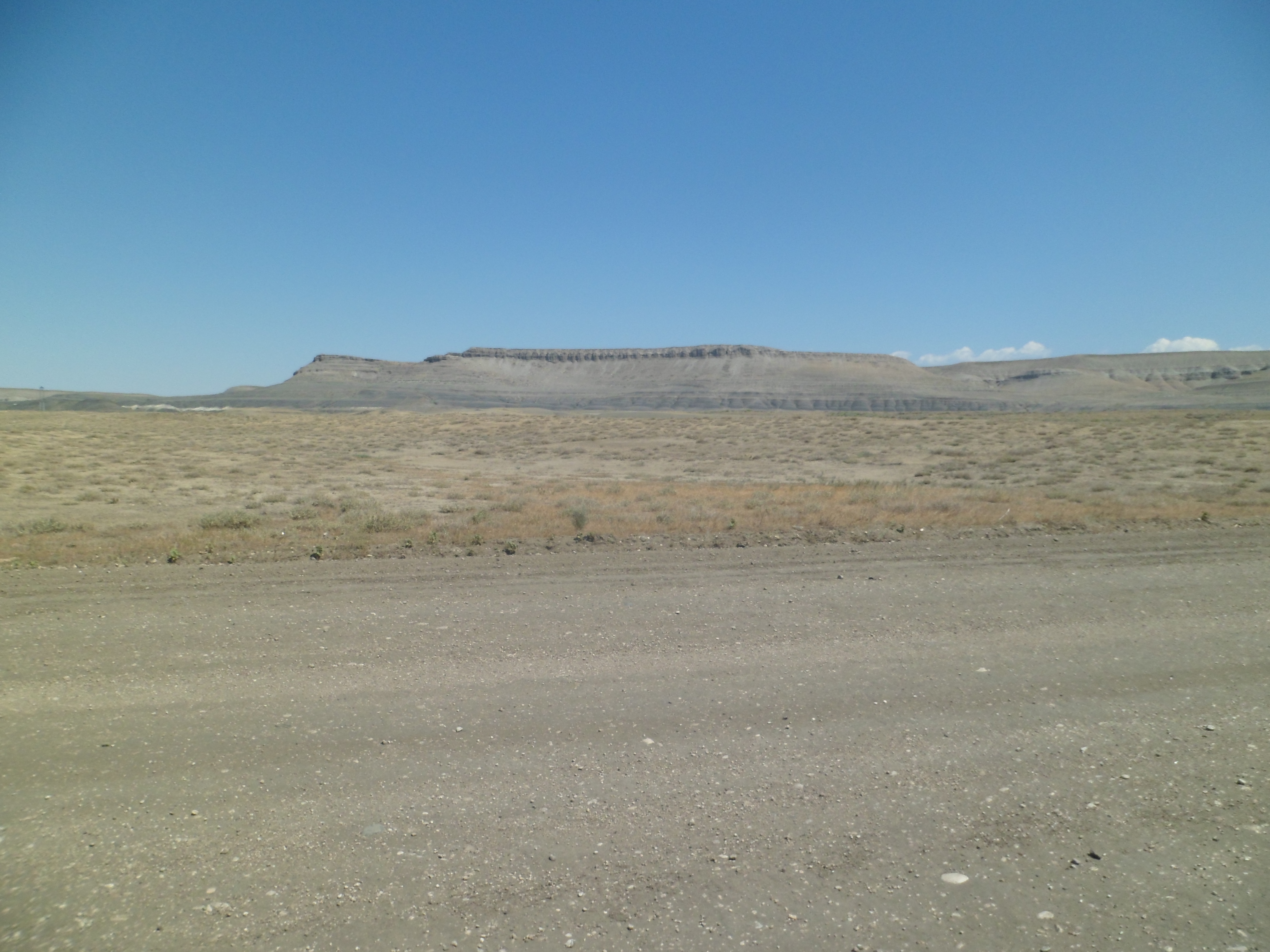
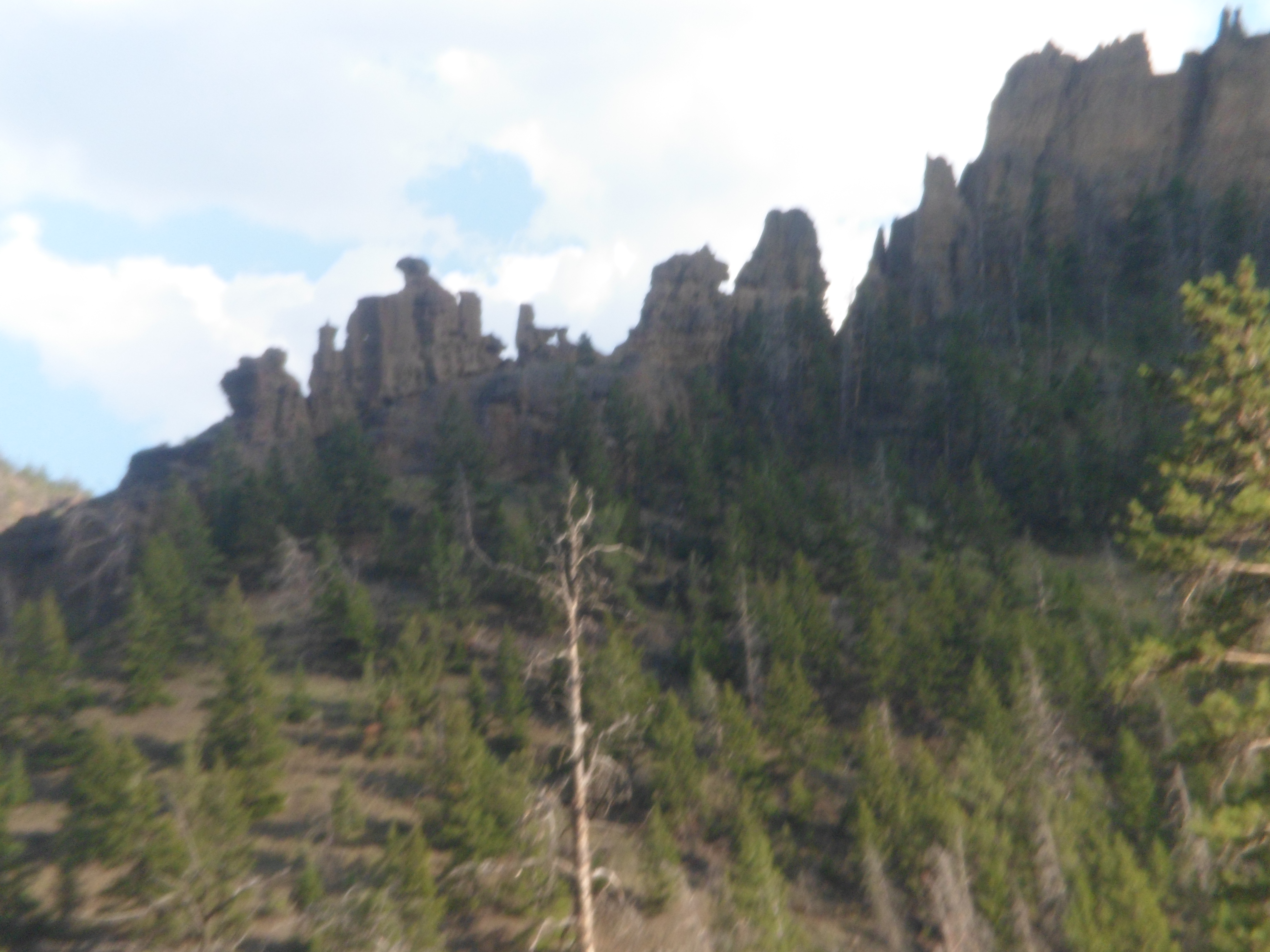
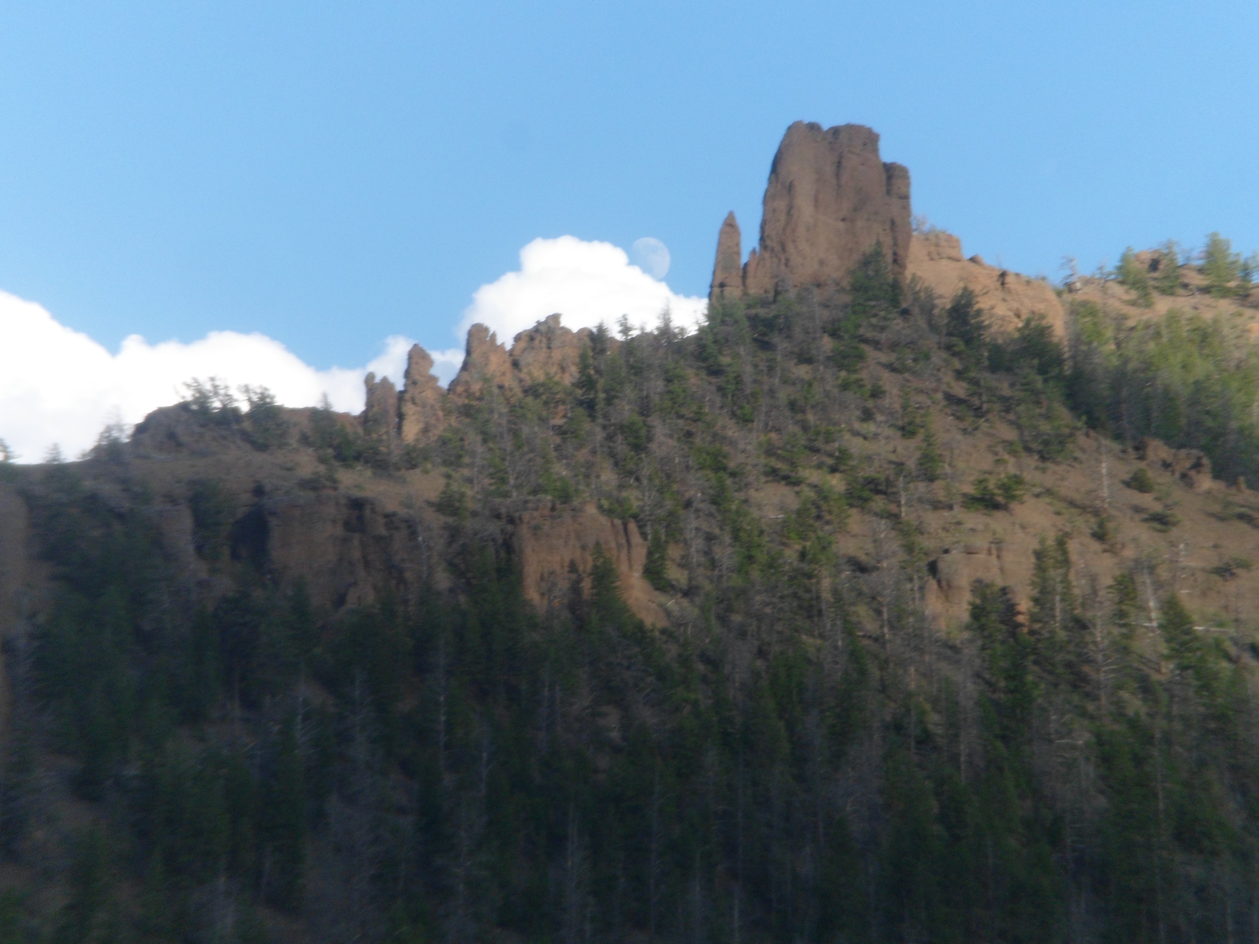
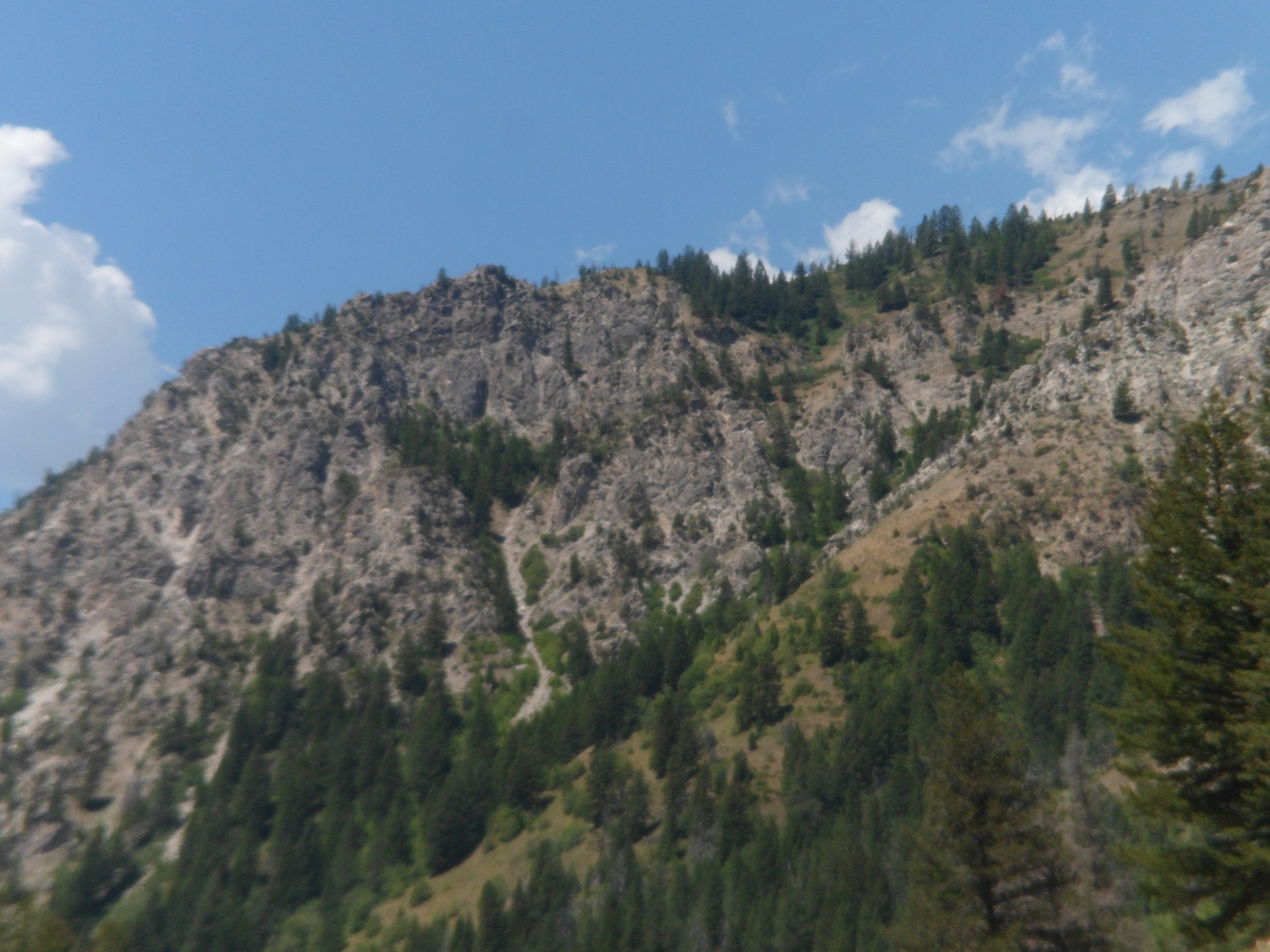
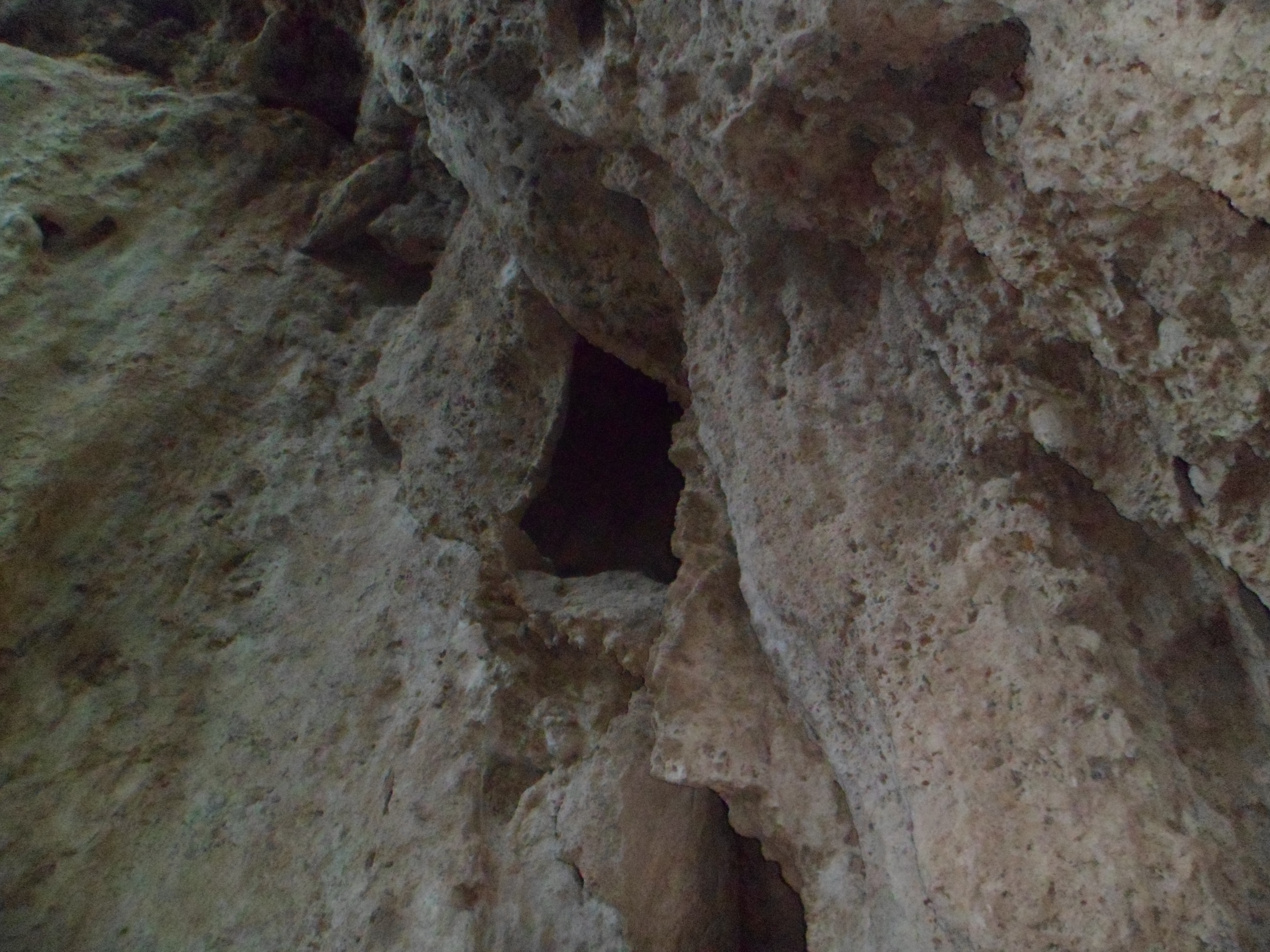
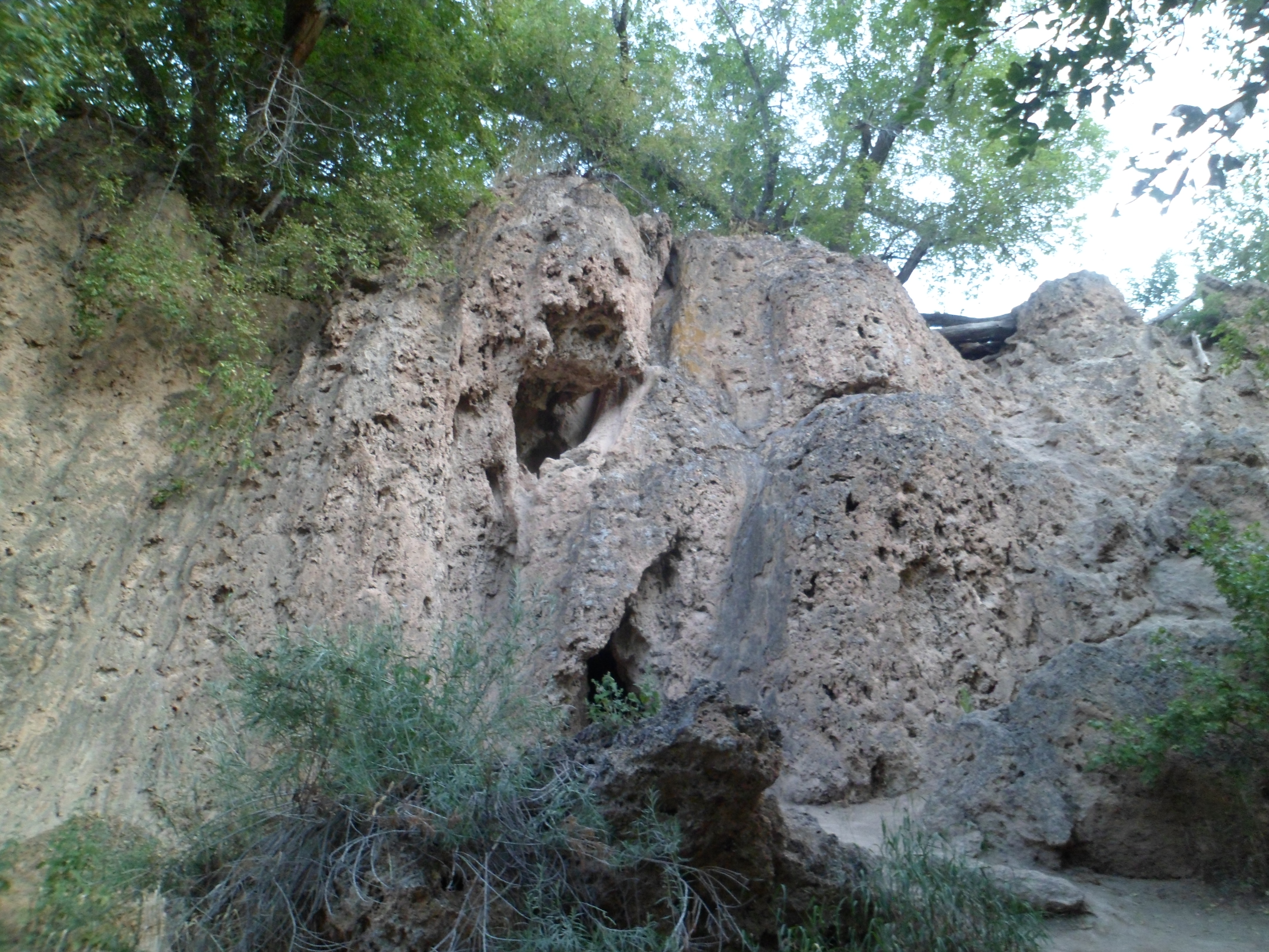
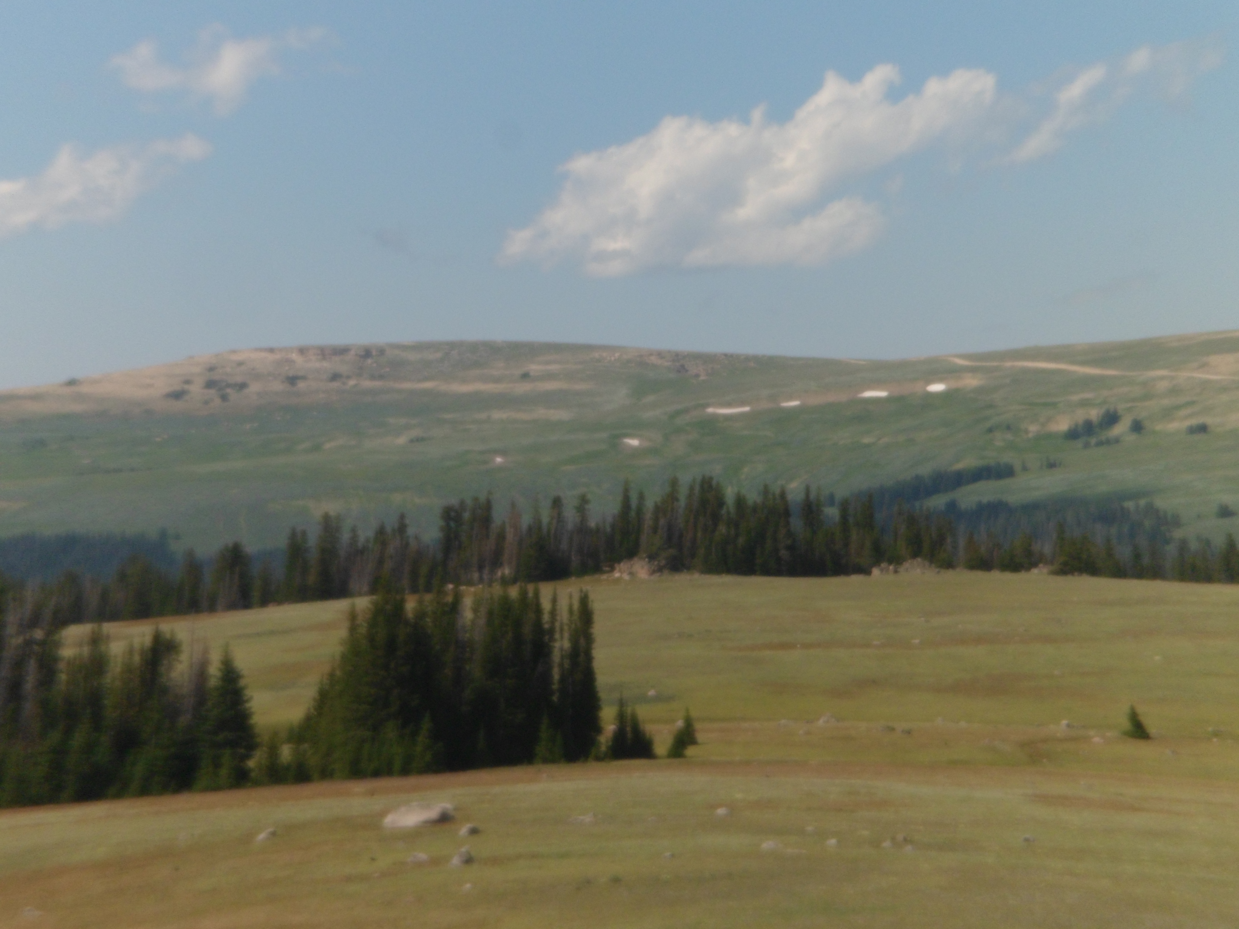
After lunch, I found my footing, in the foothills of the Bighorn Range, about three miles east of Medicine Wheel.  Some volcanic outcroppings graced the scene.

SAM_5515     SAM_5518

SAM_5519

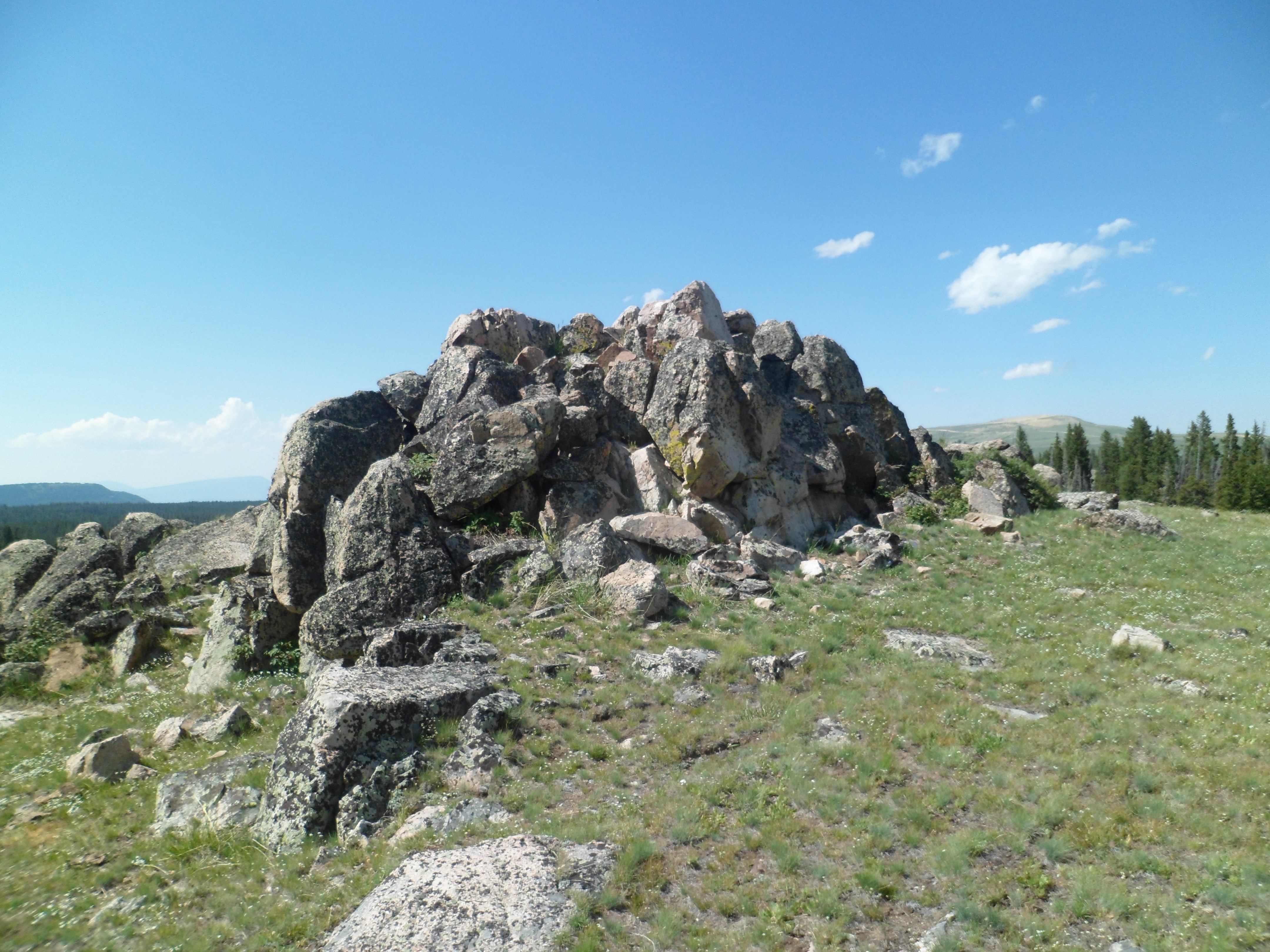
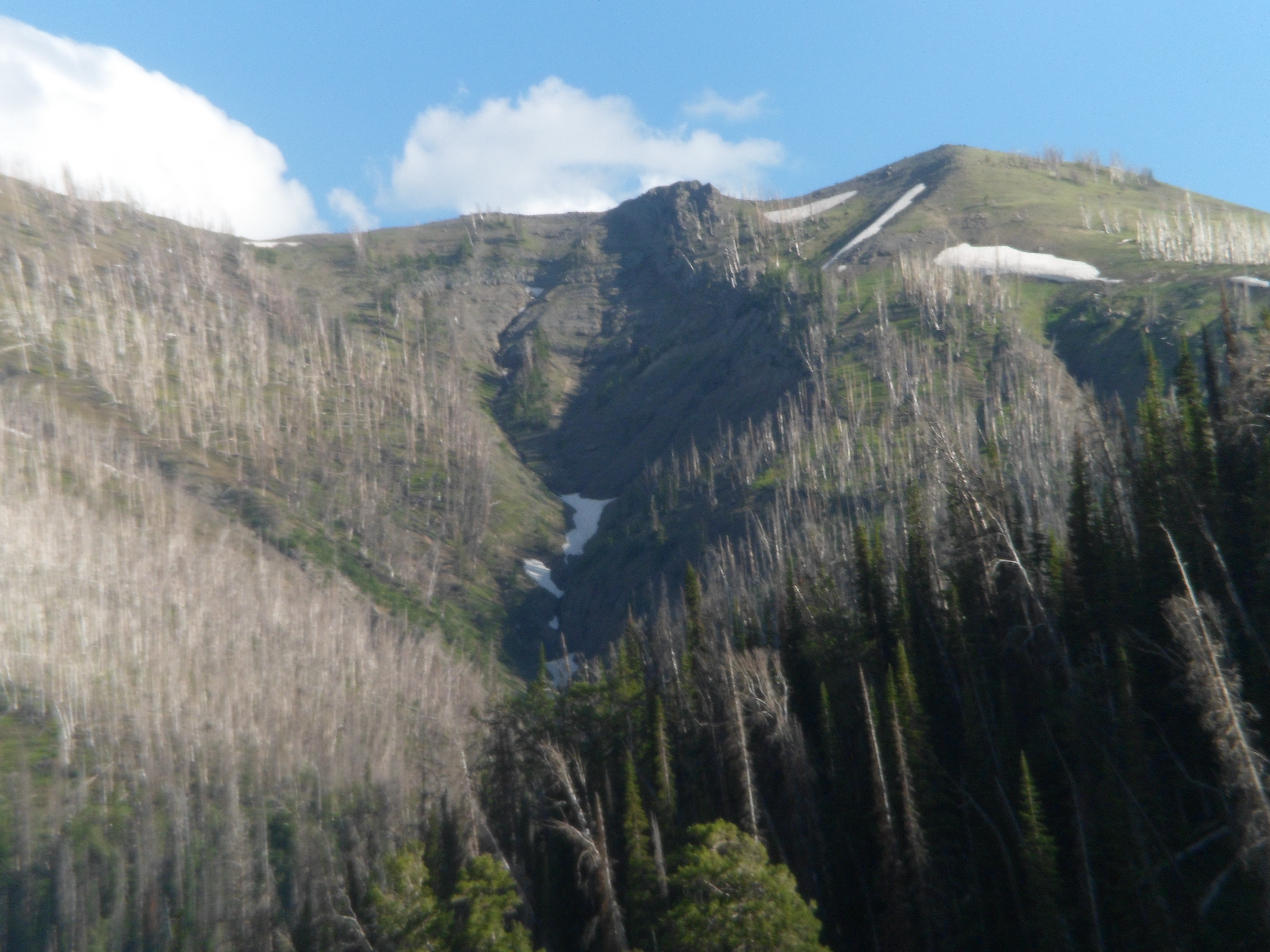
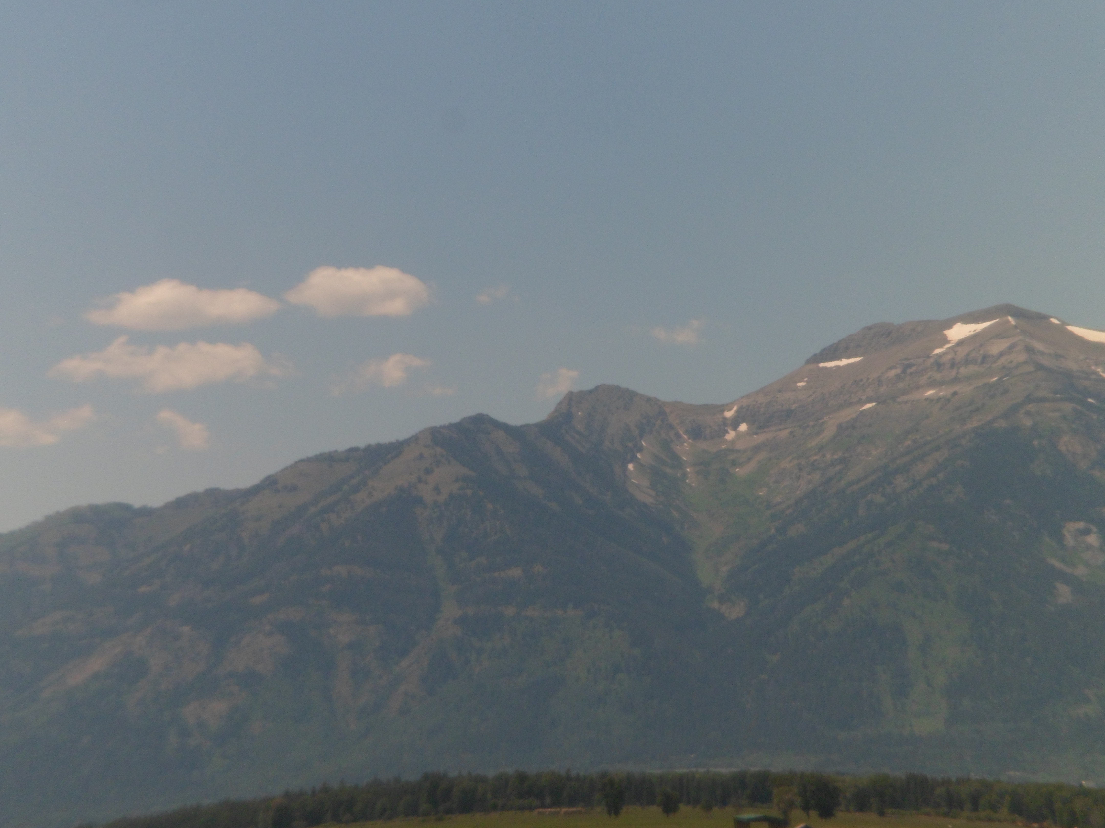
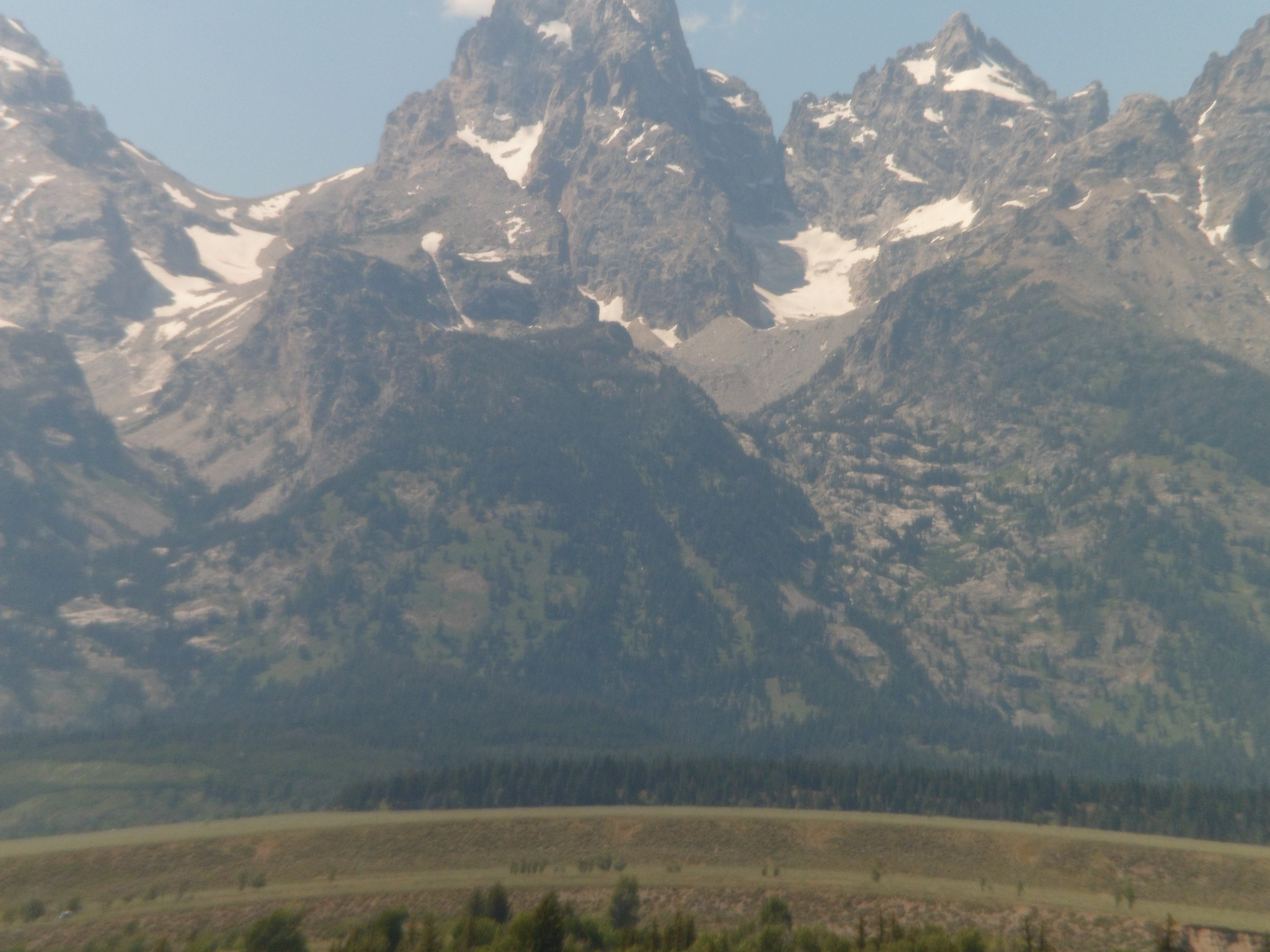
Medicine Wheel Mountain is visible, from these outcroppings.

SAM_5516          SAM_5517

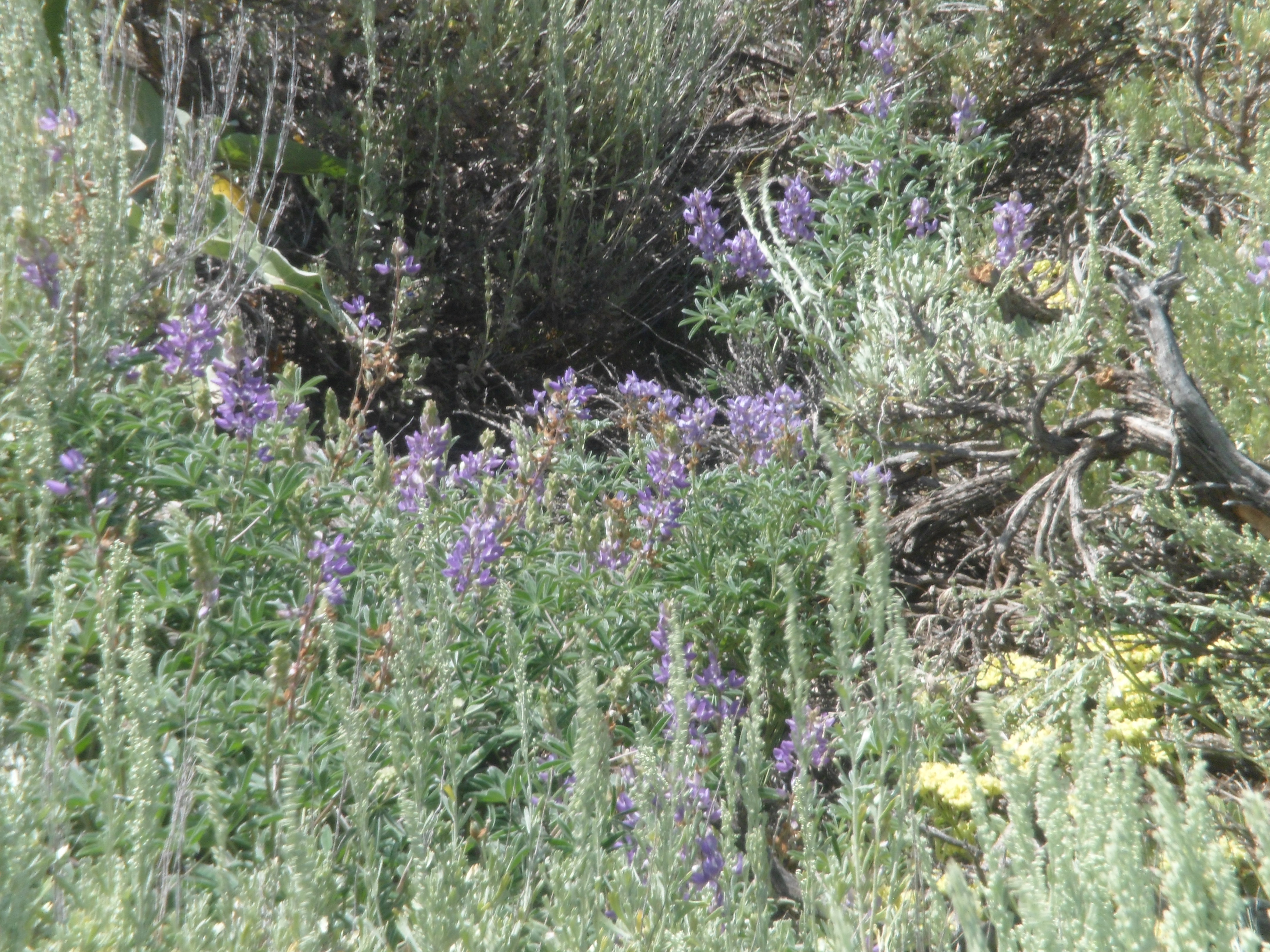
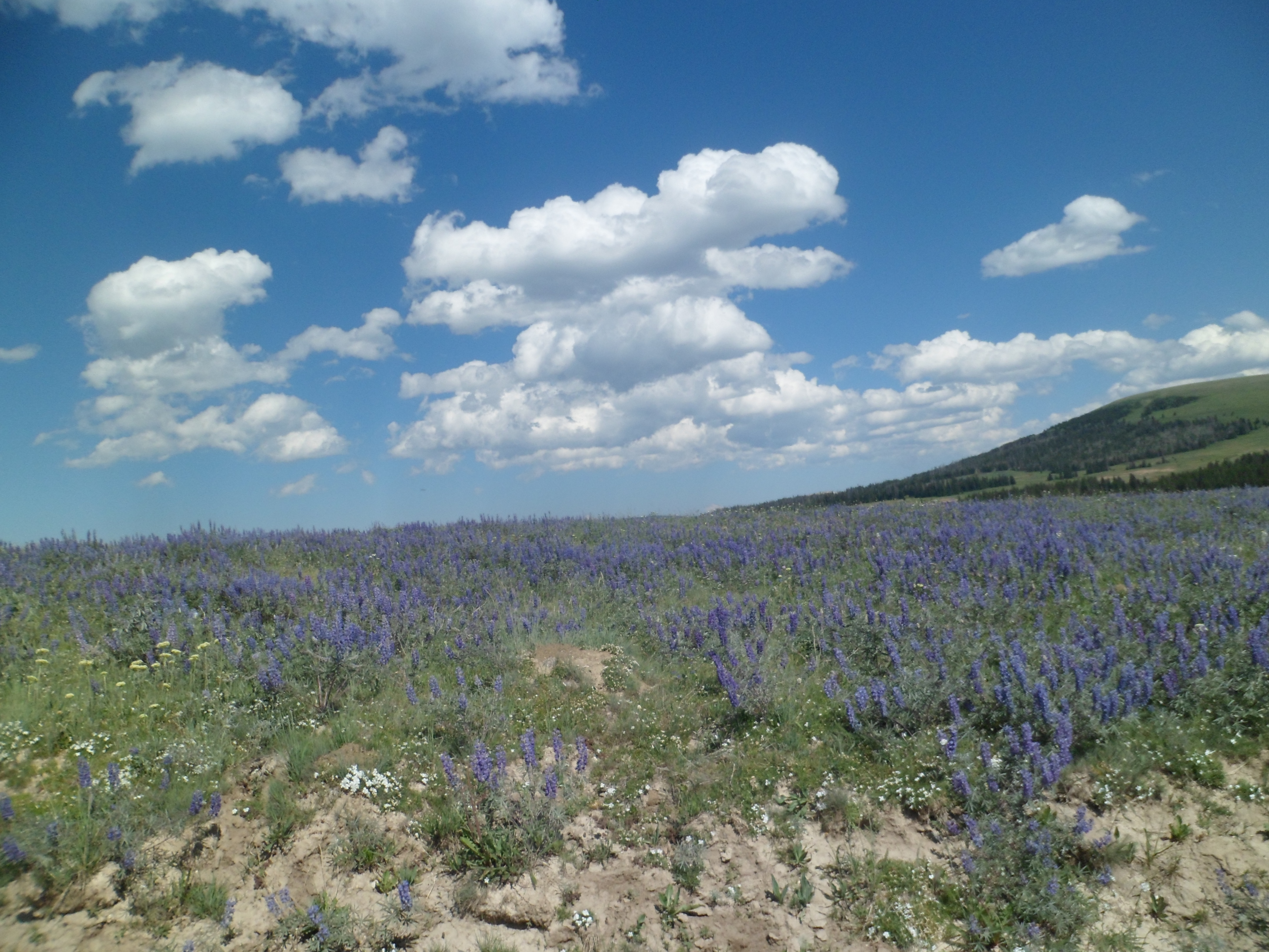
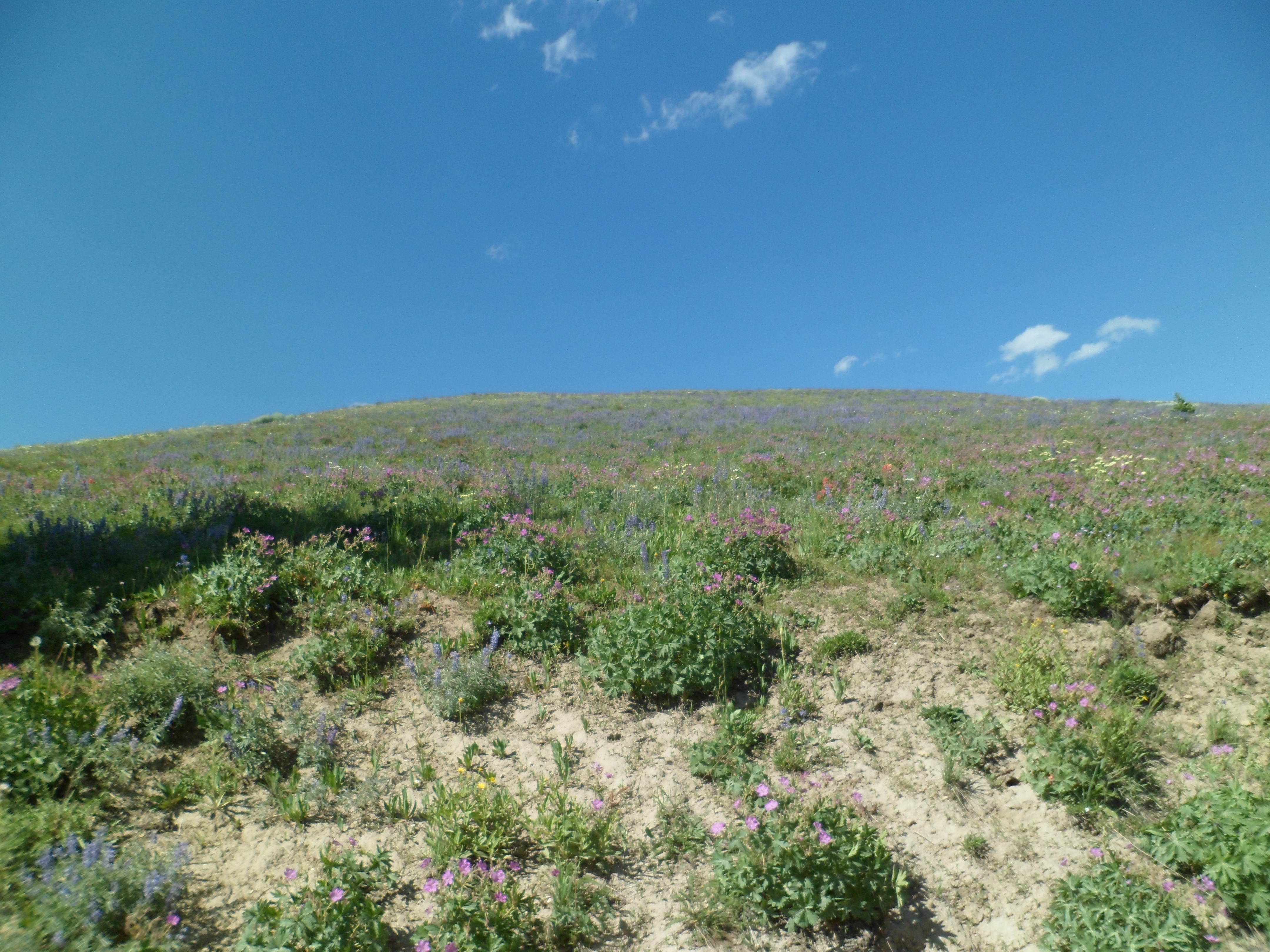
Columbine are prolific in the foothills of the Bighorns.          SAM_5520      SAM_5521

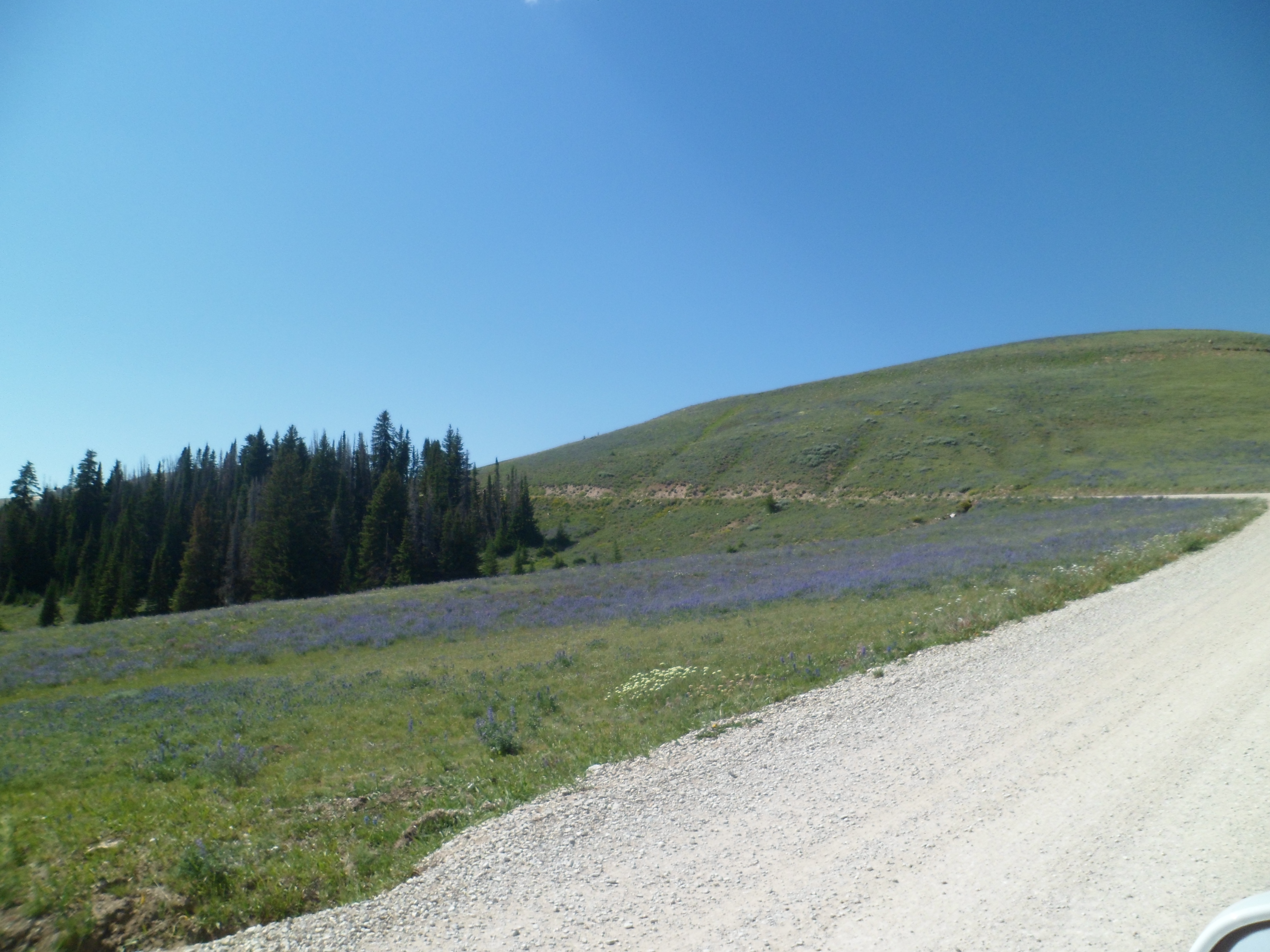
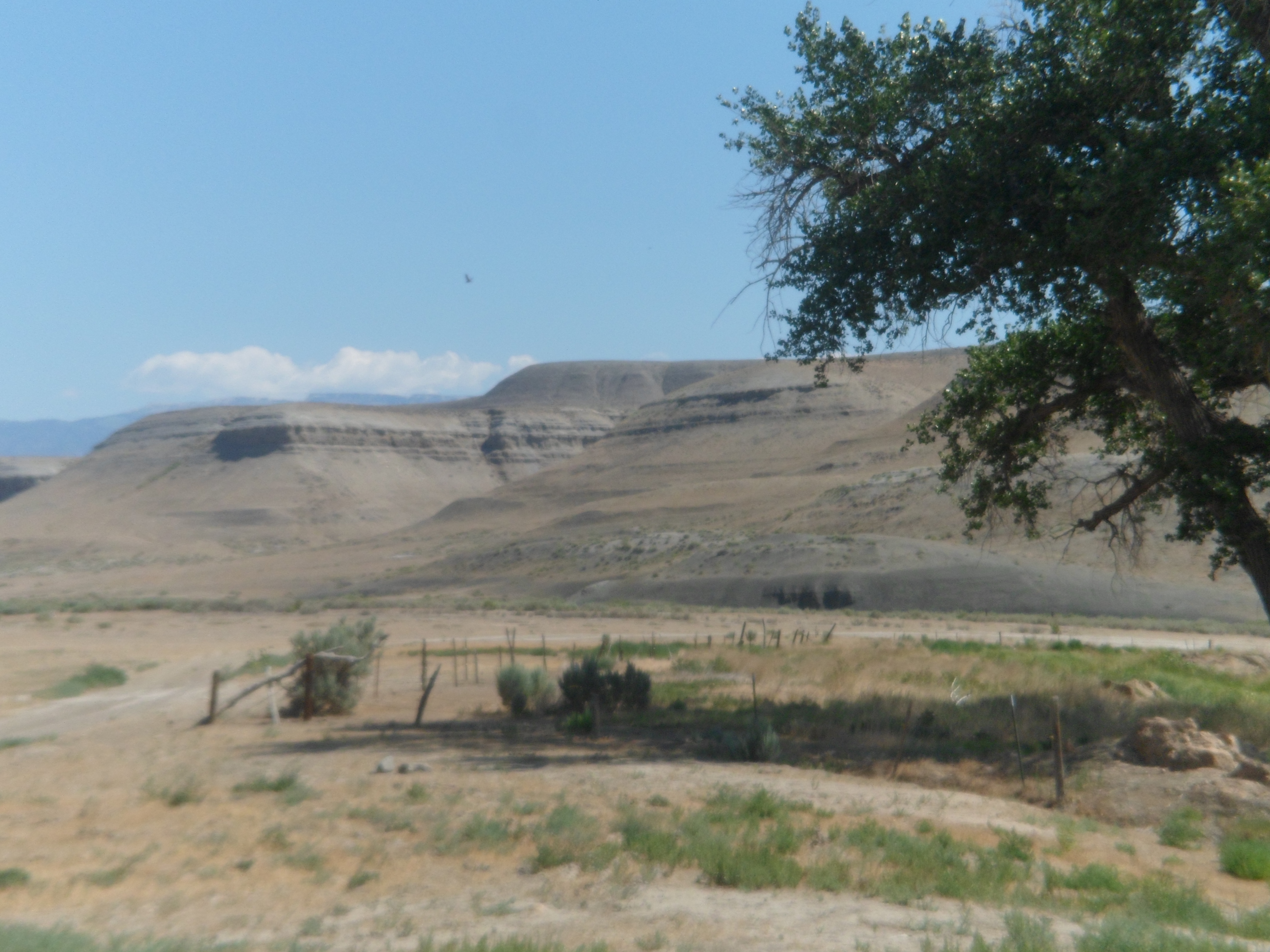
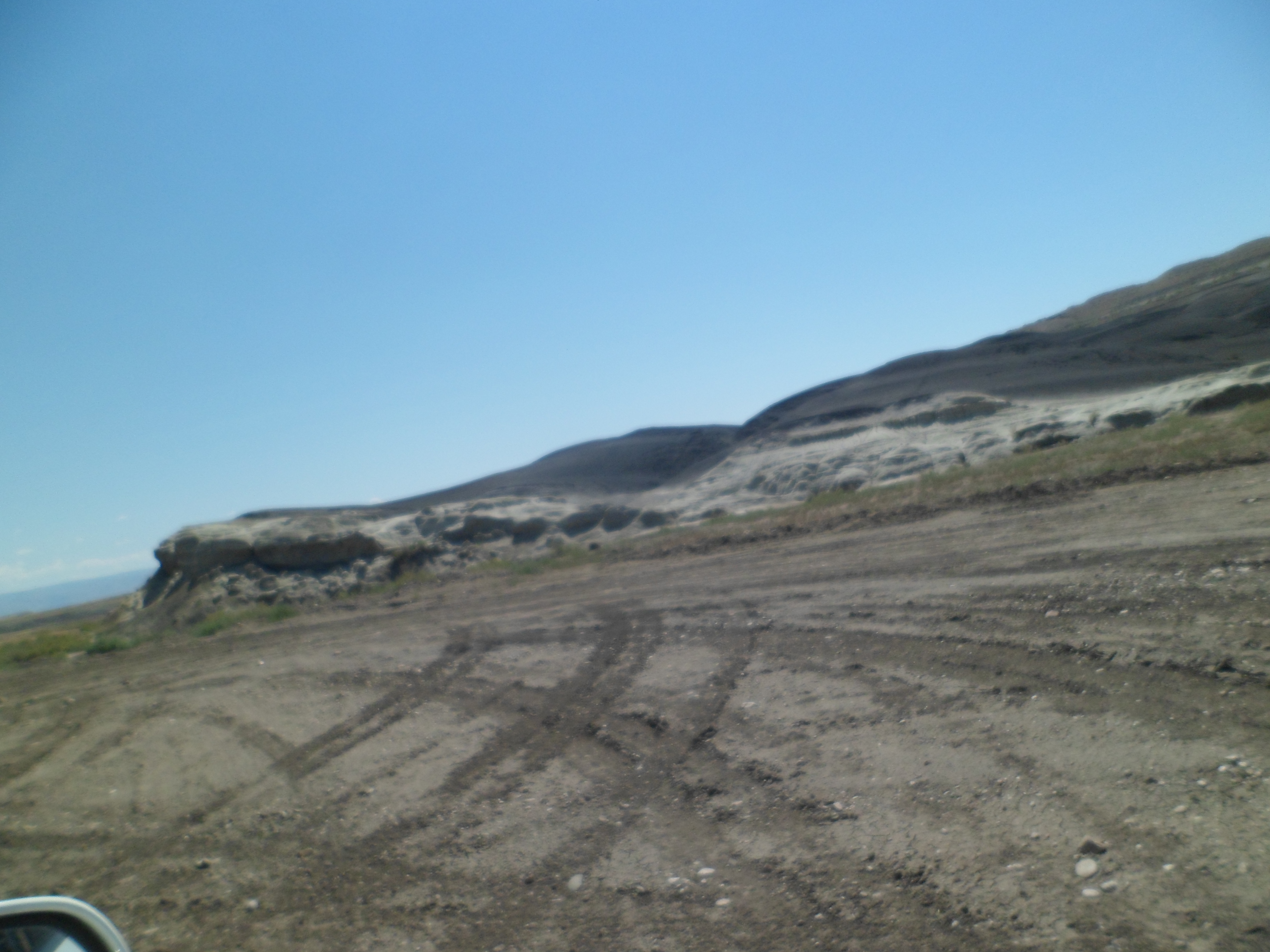
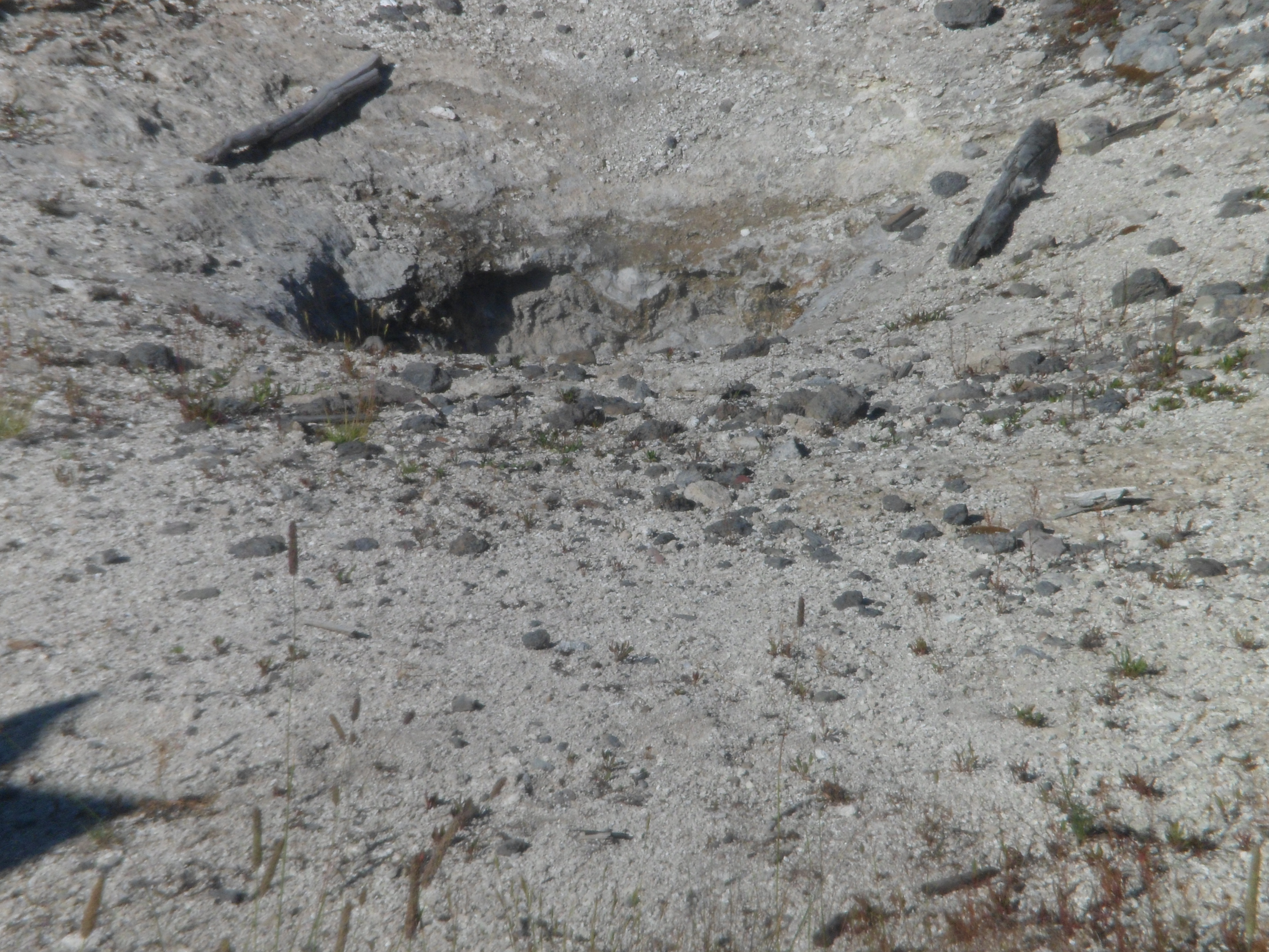
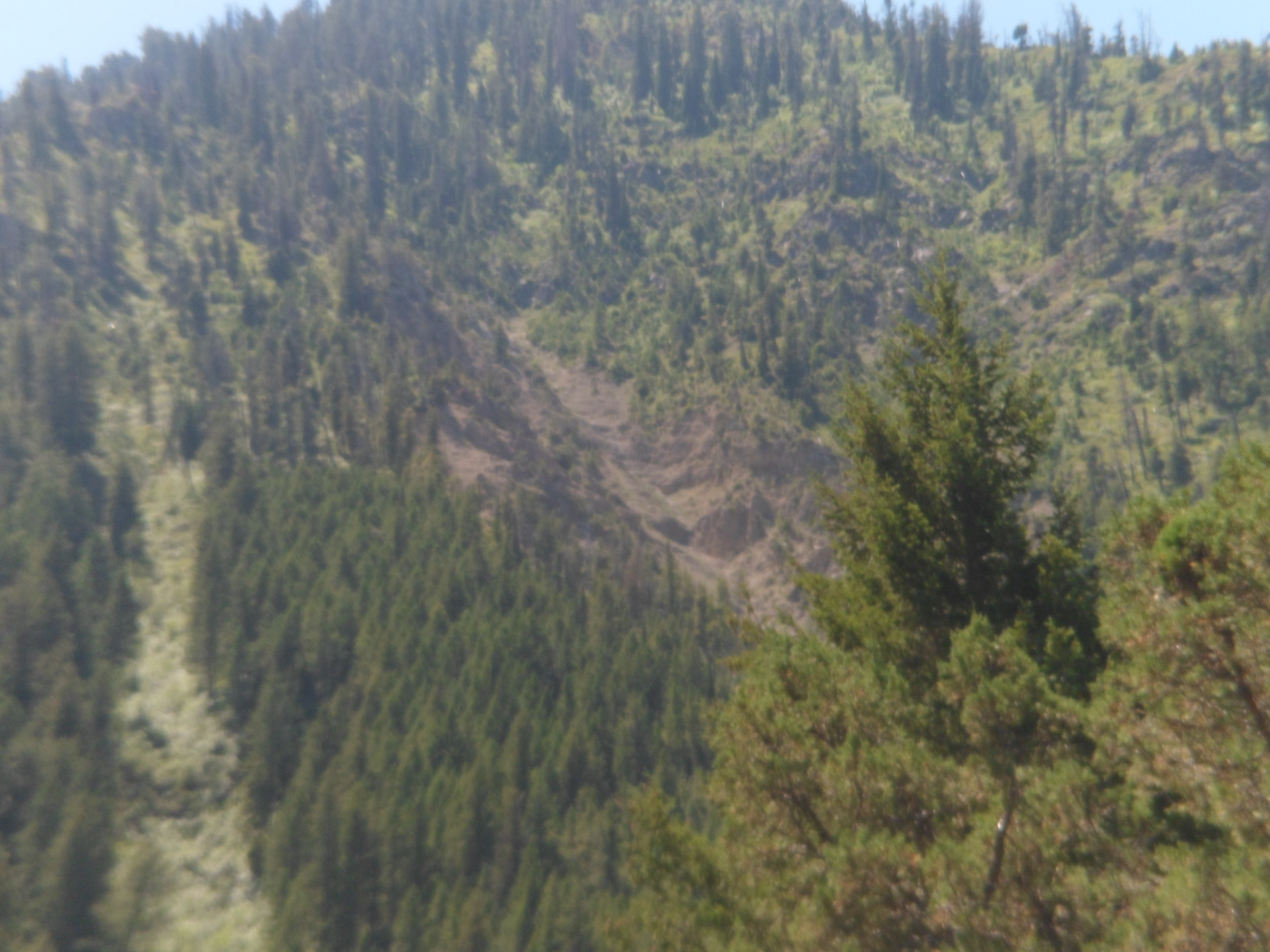
The base of  Medicine Wheel Mountain, though, is largely high desert scrub.

SAM_5522

I was, however, psyched to drive to the Forest Service parking lot, and go to Medicine Wheel, for several minutes of prayer and homage.  God knows, I needed it, and needed to offer it.

Shell Canyon and Its Falls

13

July 19 was a roller coaster of a day.  After the desolation of the fossil beds, Shell Canyon appeared, to take me up to the plateau where I would take a licking, and decide to go on ticking.

Shell Canyon has its share of fossils, whose beds are marked along the way.  It rivals several of Arizona’s and Utah’s canyons, in elevation gain and in the intimacy of its scenic pullouts.  There are several more scenes of this area, than what I usually post.  Shell Canyon is just that awesome, underrated as it is.

SAM_5468   SAM_5469

SAM_5470   SAM_5471

SAM_5478

Two-thirds of the way up, I found the centerpiece of the preserve:  Shell Falls.  Here are scenes from the eastern side and middle of the falls view trail.

SAM_5480  SAM_5481

SAM_5483  SAM_5484

SAM_5485  SAM_5490

The water leaves iron-tinged lichen, when it recedes.

SAM_5493

Now, back to the main attraction.  These views are from the western side of the trail.

SAM_5495     SAM_5498

SAM_5499    SAM_5502

SAM_5504   SAM_5505

Shell Falls has a lovely interpretive center, which features information about the various fossil finds, as well.

This forty-minute stop gave me peace of mind, to face the music which I knew I had to hear, and would, at Elk View Inn.

Next:  The Road to Medicine Wheel.

Austere Landscapes, and Mindscapes

10

I woke up in Greybull, Wyoming, on the morning of July 19. Somehow, I knew that I had gotten myself into a passel of thorns, again, and had no one else to blame.  The town of Greybull had no Internet service, due to a phone company issue.  So, I did my laundry, while watching a cheesy Charles Bronson film.  A thug caught Charles lurking in his apartment’s kitchen.

Thug:  “What are you doin’ here?”

Charles:  “I’m makin’ a sandwich.”

Tussle ensues, and Charles throws the thug through a plate glass window.

Laundry’s done, as the thug’s girlfriend screams, over the body of her dead tormentor.

I headed out, across the rugged moonscape that comprises some of the finest fossil digs in the country, around the small town of Shell.  There is some irrigation being done, on the outskirts of town, and it works, nicely.

SAM_5458  SAM_5459

All around Shell, though, there are fossils in this slice of the Great Basin.  The remnants of life forms, from the Cambrian to the Pleistocene, are being found almost on a daily basis, by paleontologists working on energy company-owned lands.  The signs said,”No Stopping or Parking on Road” and “Watch for Trucks”.

I pulled off on a side road.  That’s my drawback, as a human being.  Someone asks me to do something reasonable, and I find a way around it.

SAM_5461  SAM_5462

The austerity of this place masks the wealth of knowledge that is slowly being extracted from its depths.  It begs the question:  What will future excavators make of the likes of me, if my bones are found, perhaps in a similar moonscape, 10,000 years hence?

SAM_5463   SAM_5465

SAM_5466   SAM_5467

In the end, it was the sky, the gorgeous blue, that told me:  “Move along.  This land belongs to the dead.  You only imagine yourself so.”

So, a short time later, I encountered the opposite of this basin.  I found Shell Canyon and its Falls.  See you tomorrow.

Leaving Yellowstone: Absaroka to Greybull

10

Once past East Entrance, the scenery changes dramatically.  Gone are the towering alpine peaks, the geysers, the lakes and the pristine meadows.  The Northern Absaroka and Washakie Wilderness areas are pure Great Basin:  Dry, spiky sandstone, reminiscent of the desert regions of other western states.

SAM_5451    SAM_5452

Closer to Buffalo Bill State Park, east of Wapiti, the Shoshone River is harnessed for the reservoir that is named for the famed scout and showman. Here are some scenes of this popular family camping and fishing spot, which is much greener than the rest of Washakie Wilderness Area.

SAM_5453         SAM_5454

Just north of the reservoir, the Northern Absaroka also sprouts a bit of green.

SAM_5455  SAM_5456

I felt a bit empty as I pulled into lively, bustling Cody.  Thinking it was just fatigue, I sat down and enjoyed a decent plate of three-cheese ravioli and salad at Adriano’s, served by a waitress and a food runner, both of whom were named Shannon.  Waitress Shannon was amazing, physically-challenged, yet more than holding her own in the very busy establishment.  Cody lives up to the standard one would expect of a town named for Buffalo Bill.

SAM_5457

I kept on, into the night and across the grassland of the Greybull River Valley, before reaching the town of  that name.  Here, I found full campgrounds, but took a room at Wheel-in Motel, as I had to do laundry in the morning, anyway.

Next:  Austere Landscapes and Austerity of the Mind

Yellowstone, Part 2: Geysers, but No Grizzlies

12

I got my geyser fix this time, without going up to Old Faithful.  The active forces of West Thumb Geyser basin were in full force, on the afternoon of July 18.

SAM_5433   SAM_5434

SAM_5435  SAM_5436

At the end of the show, there remained the blowhole, with promise of more, later.

SAM_5437

The shores of Yellowstone Lake are known for attracting grizzly bears, during times of plentiful fish.  I saw none, that afternoon, but the water itself was as inviting as the grand lake’s western counterparts.  Here are some scenes of West Thumb.

SAM_5431   SAM_5432

The northwest and far north shores of Yellowstone Lake are bisected by the mouth of the Yellowstone River.

SAM_5438    SAM_5439

SAM_5441    SAM_5446

Even here, well east of the Geyser Basin, there is geothermal activity.

SAM_5442    SAM_5444

Once past the lake,there were still no bears, but there is Grizzly Peak.

SAM_5449

There are also dunes, about a dozen or so.

SAM_5448

The North Fork of the Shoshone River formed a border, of sorts, between Yellowstone and the more arid scenes of the North Absaroka Wilderness.  It was running rather shallow on that Thursday evening.

SAM_5450

Next:  The Absaroka, Buffalo Bill State Park and Cody

Yellowstone, Part I: Thundering Hooves and Thermal Lakes

18

Yellowstone, to me, has always meant a jaunt to Old Faithful.  This time, though, I focused solely on the eastern portion of the park.  My goal was to at least reach Greybull, in the north central area of Wyoming, by bedtime. There was plenty to see, hear, touch and smell.  The area from Moose Falls to Cody Peak is as full of exquisite experiences as anywhere in the world. Between the south entrance and Lewis Lake, there are at least two herds of American bison. SAM_5412  SAM_5414 SAM_5415

The main thing about bison is- know that you, the human, are their favourite kind of throw toy.  Get closer than 300 yards and you’d better be the Kipchoge Keino of your family.  Bison bulls can haul it! Lewis Lake, and its neighbour, Shoshone Lake, are warm- bath water warm.  The pine forest gave one of my fellow travelers the impression that Shoshone Lake would be quite cold.  She dipped her foot in, ever so apprehensively, and gave a shout of joy, as she then immersed herself, full-on, in the humongous mineral bath. Here are some views of Lewis Lake.  Note that the Teton Range stays with us, as a magnificent backdrop.

SAM_5420   SAM_5422

The lake is fed by the river of the same name.  Both are named for Meriwether Lewis, commander of the early 19th Century expedition to the mouth of the Columbia River.

SAM_5425

Shoshone Lake, named for the indigenous people who inhabited the area on all sides of the great parks, is nearly twice the size of Lewis.  It also appeared to draw more swimmers.

SAM_5427   SAM_5428

SAM_5429

These lakes call out:  “Slow down and soak awhile”.  Yet onward I go.

Next: West Thumb and Yellowstone Lake.

The Grand Tetons

6

I passed through gleaming, clean-as-a-whistle Jackson, stopping briefly at the Visitors Center, to inquire about WiFi, so that I could check for messages from a friend.  I was politely directed to the first Visitors Center in the Grand Teton region.

So, on I went, and learned later that I needed to hone both my intuition and my communications skills.  Nonetheless, the scenery en-route is both a tonic for the soul and a challenge- as if the mountains are saying ” Do you think you are a seasoned hiker?  Come play with us, big boy!”

SAM_5401   SAM_5402

SAM_5403   SAM_5404

SAM_5409     SAM_5410

The Tetons are formidable, but are punctuated by the meandering Snake River.    SAM_5406      SAM_5408

Little old me continued on the path to insight and enlightenment, though the wind made my t-shirt balloon out a bit.

SAM_5405                                                                                              The columbines, however, were not disturbed.

SAM_5411

Grand Teton, though, is not a long park, north to south.  I found myself in the behemoth that is Yellowstone National Park, in very short order.

My Yellowstone visit will be covered in three posts:  The bison herds to Shoshone Lake;

West Thumb and Yellowstone Lake; The Absaroka and Buffalo Bill State Park.

I left happy, but with a strange feeling that something was amiss.

The Bridger-Teton Express, Part 2: The Snake River Valley, from Alpine to Jackson

10

After leaving Afton, I pretty much stuck to the road- until I passed the tourist town of Alpine.   Then, I reached the Grand Canyon of the Snake River.  As with our Grand Canyon in AZ, Wyoming’s draws rafters by the busload.  No matter; although hordes of tourists are a concern for conservationists, long-term, the presence of lots of other people has never bothered me much.  I don’t go in for trinkets and mementos of a visit to a tourist mecca.  I would buy things for my son, or for a certain special friend, but neither of them are very big on junk, either.  So, I don’t stand in long lines much at all.

Jim Bridger, for whom the Bridger-Teton National Forest is partially named, along with the Teton Range of the Rocky Mountains, was a “mountain man” in these parts during the mid-19th Century.  Every school child in Wyoming and Montana is sure to learn a fair amount about Jim and his close ties to the indigenous people of the northern Rockies.

The Snake and Gros Ventre Ranges, and the river itself, captivated the hordes of rafters, and me.  The Gros Ventre show themselves on the south and east banks of the Snake River.

SAM_5394     SAM_5395

As the river broke through the heavy forest growth, at the raft and kayak put-ins, I walked down for some views of the grandest river in the northwest Rockies, save the Missouri.

SAM_5396  SAM_5397

A visitor from New Zealand called me over and pointed out some better views of the open flow.  He is a home builder, by profession, and does his own architecture and design.  The Renaissance Man lifestyle has not disappeared.  In my afternoon years, with my sun still bright, I am always glad to meet such people and explore their views, much as I explore landscapes and build new friendships.

As he left to rejoin his “mates”, I enjoyed the views to which he was referring.

SAM_5398  SAM_5399

SAM_5400

My mindset was healed somewhat by the magnificence.  I look back on the hour or so that was spent here, just taking in the ambiance of the river and its mountain backdrop.  The message is clear- “Gary, remember the song, ‘May It Be’, from The Lord of the Rings- ‘The promise is within you now’. ”

There would be so much more- Promise, doubt, regrouping and fulfillment, as the quest continued.

Next:  Grand Teton National Park

July 17, 2013: Rifle Falls and Caves

2

The northwest of Colorado is somewhat drier than the Rocky Mountain core.  Even so, the rivers run at a credible clip, and the occasional waterfalls are well worth an hour or two.  Rifle Falls has three such waterfalls and a series of limestone caves occupies the area underneath the falls.  I spent ninety minutes on the morning of July 17, casually walking the trail to the top of Rifle Falls and exploring the caves along the bottom of the trail.

I begin with scenes of the plateau leading into the Rifle Gap.

SAM_5295 SAM_5297

SAM_5298

The falls and caves lie just east of Rifle Gap State Park.

SAM_5303      SAM_5307

Here are more scenes of the caves, which are quite delicate, and would not make safe hiding places- though that would be tempting, in a pinch.

SAM_5308  SAM_5312

SAM_5317  SAM_5318

I climbed up to the top of the falls, along Coyote Trail, and learned that a private entrepreneur had built a hydropower plant, of sorts, and a tourist attraction, in the 1890’s.

SAM_5327   SAM_5328

SAM_5336   SAM_5337                                                       SAM_5334

Above is a remnant of the hydropower facility.

Rifle Falls set the tone for a rather happy day, that Wednesday.

Next:  The Road to Cokeville

A Benign Bastille Day

16

Yesterday, the bunch of us piled into several cars, and headed first to The Delectable Egg, in Westminster, CO.  This was our Birthday Brunch for the twin ladies.  Melissa took excellent care of our large group, and we continued the fine conversations from last night.

SAM_5223

SAM_5224          SAM_5226

Afterwards, five of us headed to Boulder, where we first went up to the Flatiron area, on Flagstaff Mountain.  We got a fine view of UC- Boulder, below.

SAM_5227

The twins and their men are thoroughly impressed with the view.

SAM_5231   SAM_5232

Our next stop was Boulder Canyon.  The falls trail was closed, but we got some nice views from the fence, anyway.

SAM_5238     SAM_5256

SAM_5241

SAM_5250    SAM_5253

SAM_5255

The imp in me was sorely tempted to hop the fence and be photo’d inside the hole in the rock!

We capped a perfect outing with a visit to Pearl Street Mall, for ice cream, hot Puer tea, and an hour’s worth of browsing.  A didgereedoo player added to the festivities, as did a bubble man and a violinist.

SAM_5257        SAM_5258

SAM_5260

There is something for everyone in Boulder.