November 6, 2016, Black Canyon City- As I rounded a bend, in the access trail to Little Pan Loop, this afternoon, I became a surprise visitor, to a local resident.
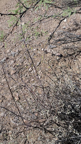
The juvenile Gila monster was a bit bemused, but after a few minutes, it moved off the trail and watched me from some brush. It was a good reminder that reptiles find the early November weather perfectly satisfying, and I watched for rattlesnakes, as well. None appeared, though.
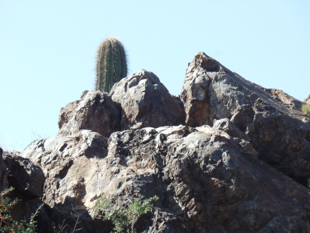
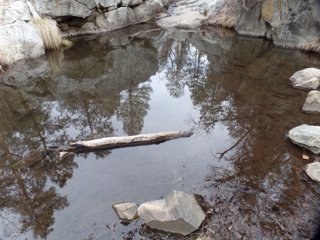
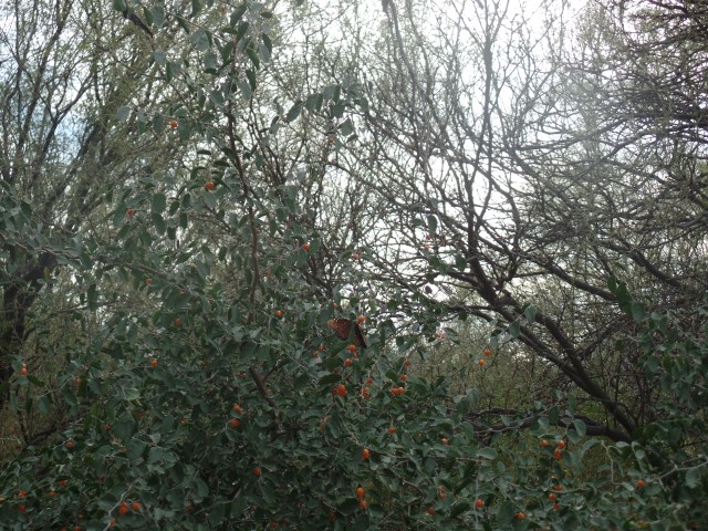
After a quick crossing of the South Fork, Agua Fria, I found the southern turnoff to Little Pan Trail, and moved along, passing the Royal Throne, which overlooks the river,

then across the Agua Fria itself, taking time to wander a bit around the mesquite and saguaro forests that line an island, in the middle of the riverbed.


Little Pan Wash is not on the main trail, but it makes for an interesting side trip.

It is one of the areas that was heavily mined, in the early 20th Century. Little Pan Mine, upstream on the Agua Fria, is still accessible to an intrepid visitor. I did not seek it out, this time.
About twenty minutes after leaving Little Pan Wash, I came upon the overarching attraction of this trail: Agua Fria Fort, near the northern end of Little Pan Trail. A side road takes the visitor to this remarkable fort, built by the Huhugam people, as one of their northernmost places of settlement.


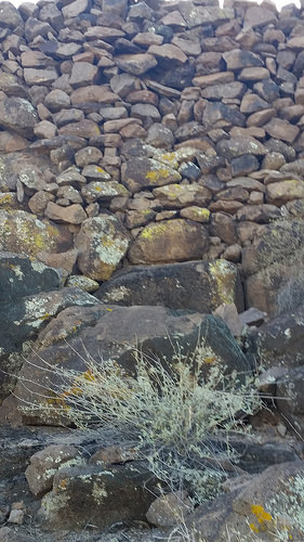

After examining this durable fort, from three angles, I walked quickly to the point where Little Pan meets Williams Mesa Trail, and the main Black Canyon Trail towards Black Canyon City. It was there that I headed back, along Little Pan, towards the trailhead.
Thus ended my first visit to this lush, exquisite and challenging area, past which I have driven, so many times. There remain three sections of the Black Canyon National Recreation Trail for me to explore for the first time. Next up is a foray from Table Mesa trailhead to Boy Scout Loop. After that, Boy Scout Loop to New River Road, and New River Road to Lake Pleasant Road, will take me through lower-lying Sonoran Desert terrain, to the edge of Phoenix. It will represent some 88 miles of hiking, over a two-year period, and will be my longest completed route.