The Hana Chronicles: Month 9, Day 5

0

September 26, 2026- Hana continued to practice walking, mostly around the playpen, as our Roborock cleaner was working the floors and carpets. She continues to build on her receptive language, offering a few words of comprehension, or at least doing what her parents ask her to do.

She is now showing mastery of putting a ball in a small chute, putting detachable cloth vegetables and fruits back on a Velcro screen and is starting to put some toys back in their bins. We went to lunch at HMart Food Court, after I had finished my errands. Hana had several pieces of green grape, and ate most of them, while we adults had our lunch. (Hana had eaten at home, an hour earlier.)

HANA’S NOTE- I am not as scared of the Roborock as I used to be. I used to think it was going to eat me up!

EXPANDING CIRCLES: Arizona- It is odd to be thinking of the Grand Canyon State as an expansion goal, but it is for Hana. Much of my life, forty-one years, to be exact, was lived with an Arizona home address, working in an Arizona school or business. Aram’s formative years were spent in Arizona, and it was from there that he entered the Navy. It beckons to us to return someday, but Aram and Yunhee have to make their marks in Texas, first.

The Turf- Arizona is not all desert. There are rugged mountains in the central swath of the state-from Flagstaff in the north to Bisbee and the Coronado National Monument in the south; from Prescott in the west to Greer and Eagar in the east. There are sky islands, like the Hualapai Range, inland from the Colorado River and the three rims of the Grand Canyon. An 800-mile trail runs from the Mexican border to Utah, along the spines of several mountain ranges and through the Grand Canyon.

Low lying desert takes up much of the western third of the state, as well as the region between Tucson and the Mogollon Rim which begins east of Prescott. High desert terrain is found on the Colorado Plateau, along the Little Colorado River, from Page, at the Utah line, to Sanders, near the New Mexico border. The state is drained by the Colorado, Little Colorado, Salt, Gila, and San Pedro Rivers. The Salt and Gila have dry beds for a good portion of their course through the state. This, and the lower flow of the Colorado, are due to both their having been dammed and to the extended period of dryness across the West. Continued growth, especially in the corridor from Scottsdale and Peoria, through Phoenix and south to Sierra Vista, also contributes greatly to the depletion of water.

First Nations- Arizona is the ancestral home of the Yavapai, Hualapai, Havasupai, Kaibab Paiute, Dineh(Navajo),Hopi, Zuni, White Mountain Apache, San Carlos Apache, Tonto Apache, Chiricahua Apache, Akimel O’odham, Tohono O’odham, Maricopa, Cocopah, Mohave, Halchidhoma, Hia C-ed O’odham, Yuman (Quechan), Chemehuevi, San Juan Paiute and Pascua Yaqui peoples.

It was from Arizona that the Navajo people were forced onto the Long Walk, and to Arizona that many returned, in 1868. It was in southeast Arizona that the Chiricahua Apache, led first by Cochise, then by Geronimo, resisted both the Mexican and American authorities for several decades. It was to Arizona that the Tewa people fled from the Spanish re-conquest of their Rio Grande homelands, to be welcomed by the Hopi, at First Mesa. It is in Arizona that I feel most at home among First Nations people, especially on the Navajo Nation and in the Hopi villages.

Along those lines, I feel most at home in the Prescott area,, Flagstaff, Polacca, Second Mesa,Tuba City, Red Lake, Burntwater, Bisbee, Ajo, Superior, Cave Creek, Cornville, Jacob Lake and the Grand Canyon. Arizona, in general, will always have my heart.

Where I feel most at peace: Jacob Lake Inn

NEXT: Nevada

Of Conquistadors and Tigres

4

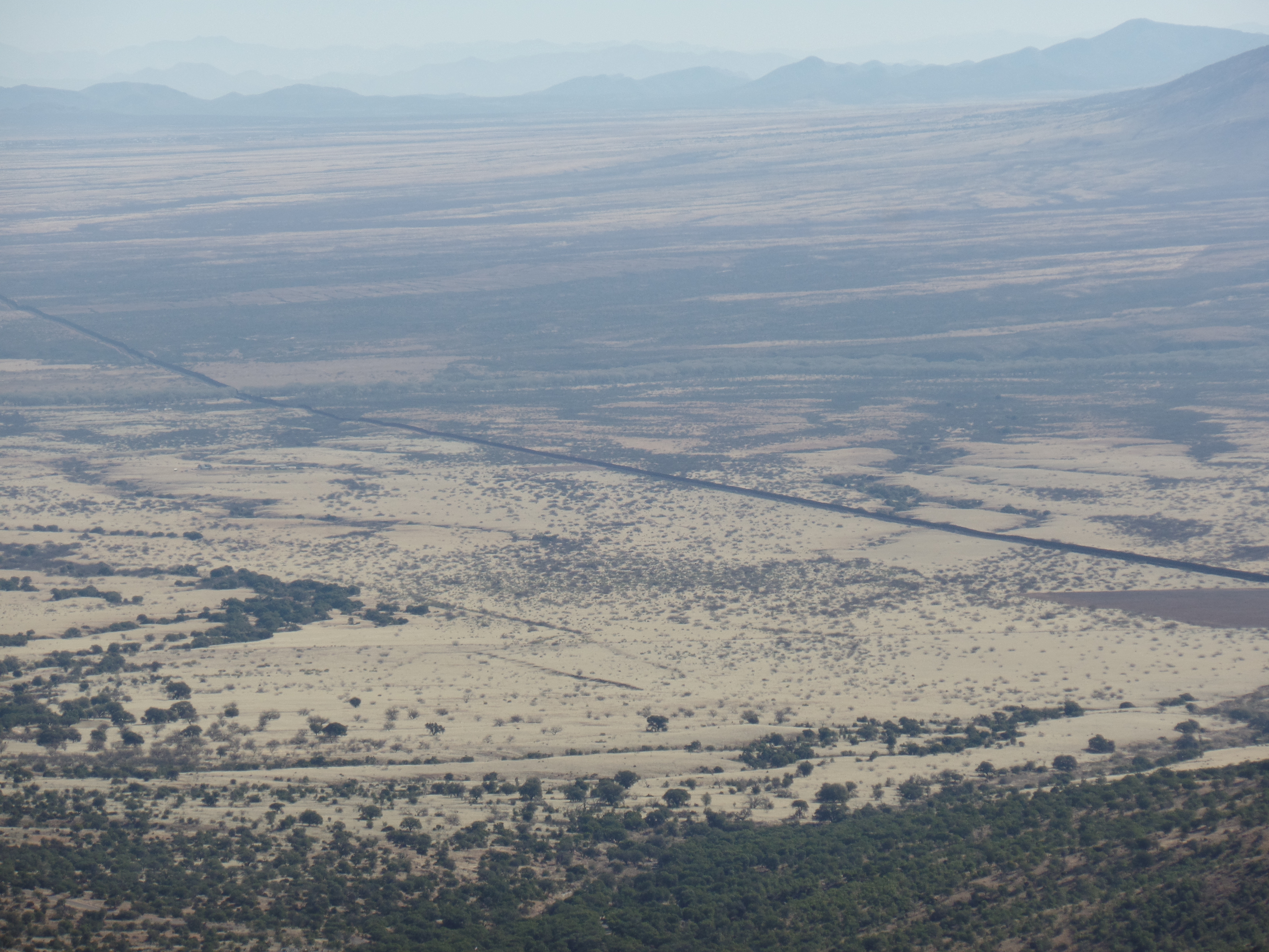
January 31, 2022- Carrie is another soul whom I could swear I’ve known for centuries. The young Park Ranger minds the Visitors’ Center at Coronado National Memorial, assisted by a small crew of Border Patrol agents who keep watch on the roads that intersect this National Park property, in southwest Cochise County. We talked, for about thirty minutes, about the effects of the border wall and barbed-wire fence on the movement of wildlife, especially large cats (jaguars and ocelots). She sees the barriers as a trade-off for security that definitely makes her own situation a lot safer-though she longs for the day when such blockades are unnecessary. The ease of our conversation reminded me of others, with whom I could walk in and begin speaking, as if we were resuming an interaction that had been interrupted by some strange event, a while back. Then, too, there was the group of mule deer, which visits her and watches through the large picture window. They are like members of her family.

The Monument, as its known hereabouts, commemorates the explorations of Juan Vazquez de Coronado and his party, who marched from Compostela, on the west coast of Mexico Proper, through the Sonoran Desert and the Sky Island country of what is now southern Arizona, clear past the Rocky Mountains of present-day New Mexico and Colorado, to an area of central Kansas, near Salina, which he called Quivira. The expedition was manned largely by indigenous Mexicans, with a few hundred Spaniards and a hundred or so Africans. Coronado’s legacy, like that of most European conquerors, is a mixed bag. He is no hero to the Puebloans, whose ancestors were slaughtered in the Tiguex War of the mid-Sixteenth Century, but is remembered more neutrally by the Apache and by the Plains nations, such as the Wichita and Arapaho.

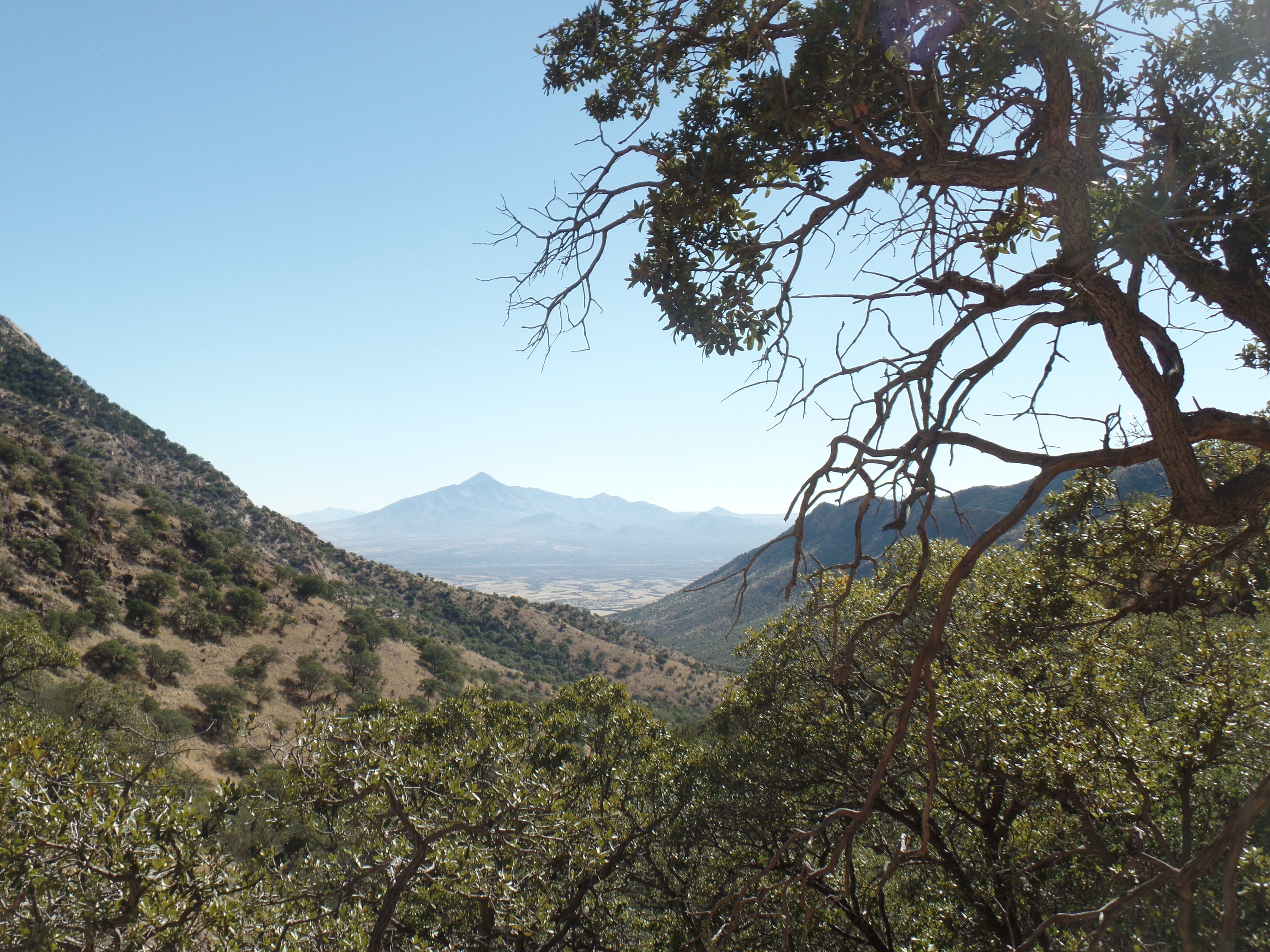
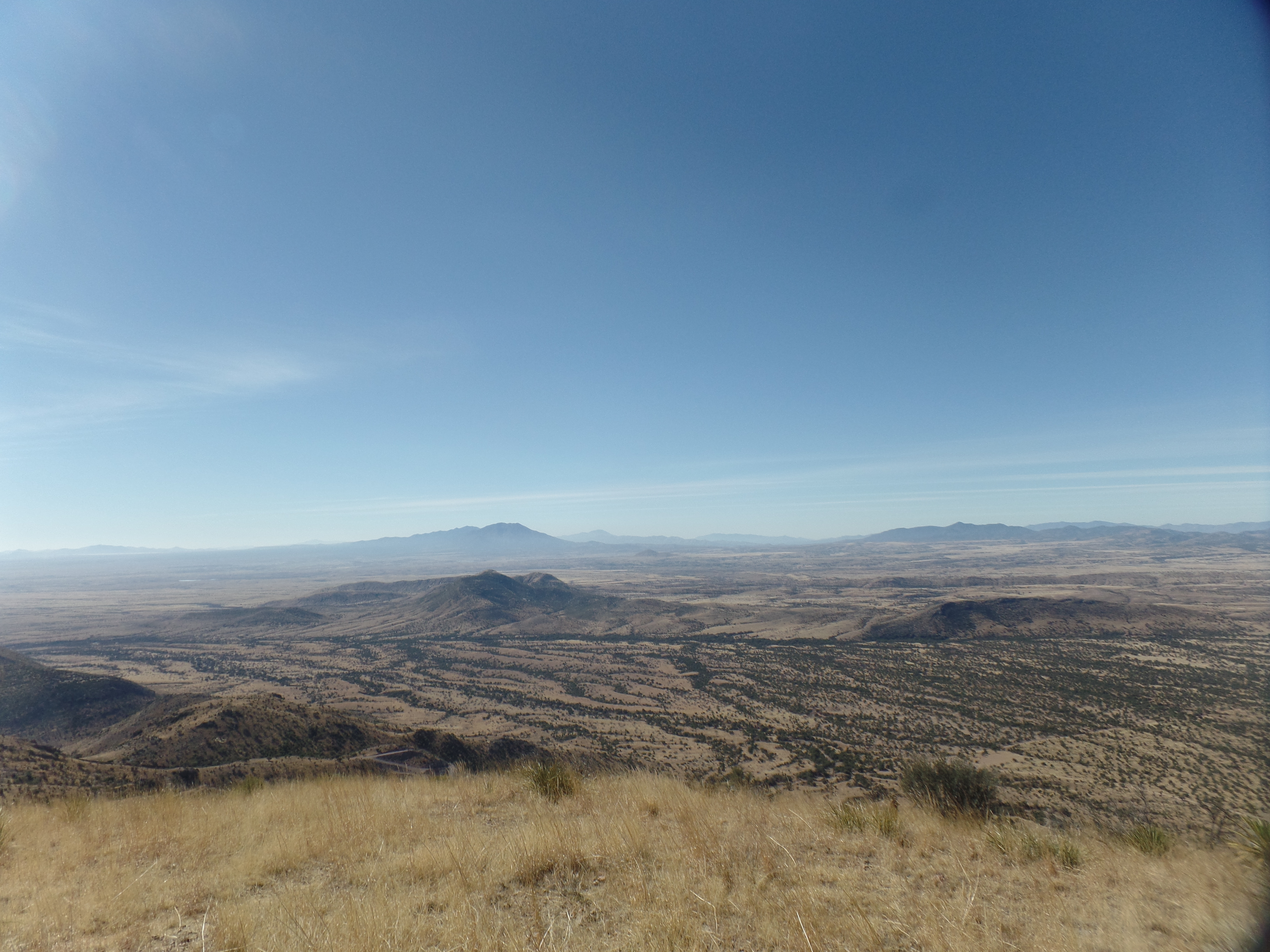
Here are some views of Coronado National Memorial. Below is Ranger Carrie’s work space.

I dubbed these the Jaguar Watch.

The southern terminus of the 800-mile Arizona Trail can be reached by hiking the steep, 3-mile round trip Yaqui Ridge Trail. This is a task for another visit, possibly in early March. As it was, the day was well-spent, and featured everything from a power outage, just before I checked out of Motel 6 in Douglas to a Zoom meeting that I joined from Casa Grande’s Public Library. In between was the rewarding time spent at “the Monument” .

Due Respect

5

October 4, 2021- Some one of these days, the old man (me) will take a hike from one rim of the Grand Canyon to the other. Someone I love dearly just accomplished the feat, and as proud as I am of that adventurous soul, I know it will not be her last time doing this. One time or another, I will manage it as well. I may even make it part of an Arizona Trail trek.

I started reading a couple of books dealing with the respect that people ought to inherently have for one another. One is written by a young woman, essentially pointing out what my mother said when we were kids- “A human being is not a toy!” I personally think that everyone ever born has had or has a life plan. Many of the people are physically attractive, one attribute among dozens that a person may incorporate. I hold that everyone is to be educated and guided to make informed choices. The woman who wrote this book chose to place a photo of herself on the back cover. She has a beautiful face and svelte physique-and chose to feature these, while making the point that she will neither hide herself, nor flaunt her attributes. They are part of who she is, and nothing more.

The other book, dealing with subconscious racism and the fear that those who have it-have of it, is written by a woman who faces and is dealing with this phenomenon, as she is experiencing it within herself. I have had to do the same, over the years, in rooting out such biases. Thankfully, people of colour have been forthcoming, and the vast majority have been kind about pointing out how unnecessary such microaggressions and awkward behaviours are. With those encounters, the baggage has been shed.

The point of all this is-I am, and you are, going to keep meeting comely members of the opposite sex, and of own gender, for that matter. We are going to encounter people of other ethnicities and skin tones. The point of most such meetings is in the course of something each is doing, that has nothing to do with romantic exchange, finding a mate or establishing one’s superiority over other people. It has everything to do with being as supportive as possible, of the other person’s hopes and dreams-and their being as supportive as possible of yours.

Friendship is the best, the finest, possible outcome of our random daily encounters. I treasure each such outcome, every chance to support a fellow human in the legitimate elements of her/his life plan.

The Summer of the Rising Tides, Day 6: The Cabin, The Pyramid and The Homage Walk

7

June 6, 2020, North Rim of Grand Canyon-

Of all things that get done in life, none exceed in value the homage paid to those who have gone before. As giving, to those in need, results in getting more of what oneself could use, so does paying respects, to those who have transitioned, bring more honour to the one paying the respects.

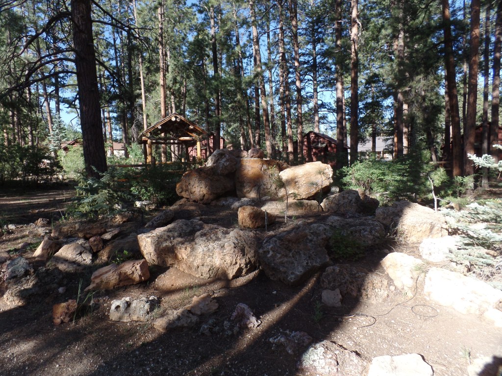
I was able to stay in a fine little cabin, a duplex, which I shared with a family of three, who kept to themselves. Jacob Lake Lodge has been built into a resort, of modest size, staying free from any ostentatiousness. It has a small, but quality, restaurant, where pandemic-based spacing is in effect, and of course, masks helped give a sense of health security, for both patrons and staff-when we weren’t eating or drinking, of course.

Cabin 10, where I stayed at Jacob Lake Inn.

After hiking a “warm-up” trail, in search of the actual Jacob Lake, I found only an RV Park, and so returned to the resort, in time for check-out. Then, it was off to the Canyon!

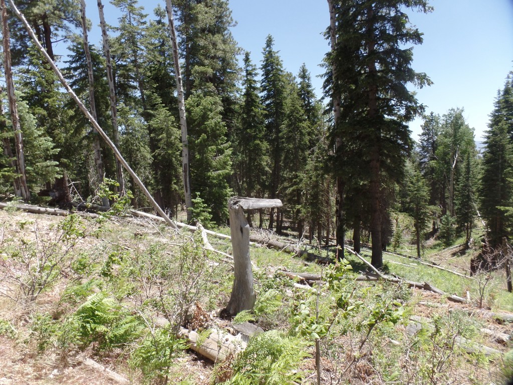
There is a plan being considered, that will result in a sizable amount of trees being cut, in Kaibab National Forest, along the road to North Rim. There is a huge amount of slash and burned-out trunks, left from previous fires and intense storms. To me, it would make the most sense to clear that mess, and probably would put a fair number of people to meaningful work, this month and next. As the trees under consideration are “old growth” forest, it is especially heart-rending to consider the unnecessary damage to the ecosystems.

After arriving at North Kaibab Trailhead, where the Elantra would rest, while I hiked, it took a short bit of checking the route, to make sure I din’t end up going down the North Kaibab Trail, itself. Ken Patrick Trail, a bit to the north of the steep big kahuna, would take me to Uncle Jim Trail. With the help of a thru-hiker doing the Arizona Trail, I was on my way, in short order. You can see from the sign, below, that Ken Patrick was dedicated to service with the National Parks.

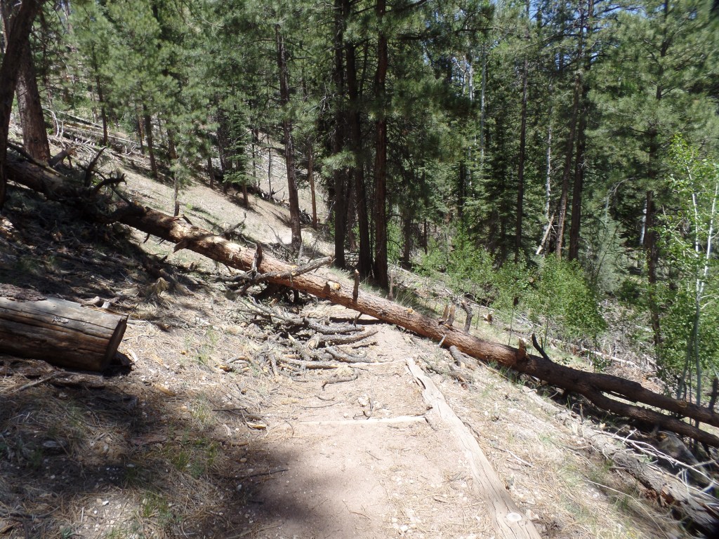
About 500 feet along the trail, a large ponderosa pine had fallen across the path, so I went up and around the mess. Three other trees would lie across the trail, at different points.

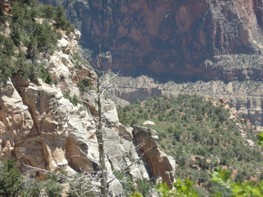
The first set of overlooks lies about 1/4 mile along the Ken Patrick Trail. This view mirrored what I saw last October, from the Bright Angel Point trail.

The limestone columns remind me of horse heads.
Here is a cross section of the Inner Basin.

Nature leaves her little jokes, even at the expense of damaged trees.

A guidepost, perhaps?

Sooner than I expected, it was time to take a hard right.

The trail junction.

The first segment of Uncle Jim Trail is four tenths of a mile. It is also the area with the most up and down inclines, and the only place where there are switchbacks, albeit mild ones. Two downed trees greeted us hikers, along this stretch, as well.

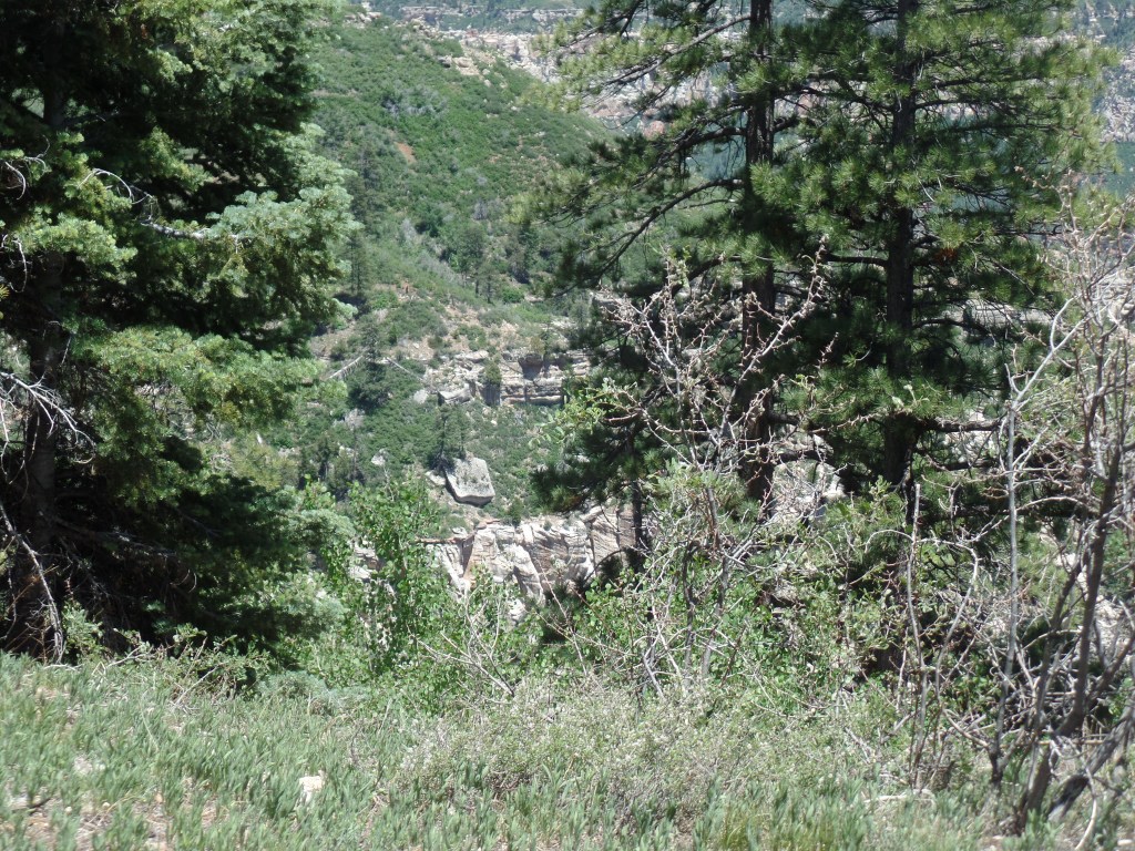
At 7/10 of a mile, along the western leg of Uncle Jim Trail’s 2.1-mile loop, I came to a series of fabulous canyon views.

This drop-off looks milder than it is.
Who’s watching whom?

Finding a heart-shaped rock, I placed it carefully against a small set of wood shavings.

A little altar

This natural eroded bowl could serve as an amphitheater.

Looking at this “amphitheater”, I also saw a back country hiker looking over its edge.

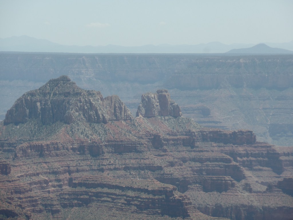
I came upon an unofficial overlook, east of the main viewpoint, and appreciated the two “guardians”, looking back towards the rim.

Sandstone heads have this mesa to themselves.

Looking out from this vantage, at Uncle Jim Point, I have a tripod to help me focus.

Here’s a view towards the Inner Basin.

Heading out from this vantage point, I spotted a burnt ponderosa, which could serve as a memory pole, of sorts.

A woodpecker’s home and a place to mark memories.

I spent a few minutes sitting on the landing of a restroom building, writing in my journal. As I did, a fierce gust of wind came up and blew my sunglasses off the landing. I looke for the shades, for about ten minutes, but to no avail. If that is my offering to the forces of nature, so be it. I have a feeling that the wind took them all the way to the rim, and over.

Hearing happy voices, I followed the tral to the main viewpoint. There were four women, a couple and me, taking one another’s photographs. Thus, a pyramid could be envisioned: Four at the base, two in the middle and one on top.

Here I am, courtesy of the “better half” of the couple.

With Uncle Jim Point in the background, I fulfilled a promise to myself and to his family.

Uncle Jim Point juts out into the Inner Canyon.

With that, the two parties and I leapfrogged one another, on the way back, as each took rest breaks. We all missed the junction sign, going back on the Ken Patrick Trail by osmosis. I last saw the four women taking an extended photo shoot at the first overlook. The couple, it turns out, are from Santa Monica, and were enjoying their first venture out of town, since January.

So, my heart’s desire was fulfilled and I headed out of the Canyon, with a brief stop at North Country Market, for a well-earned salted caramel latte and a long, but smooth, drive to Flagstaff.

The Road to 65, Mile 127: Light and Shadow

10

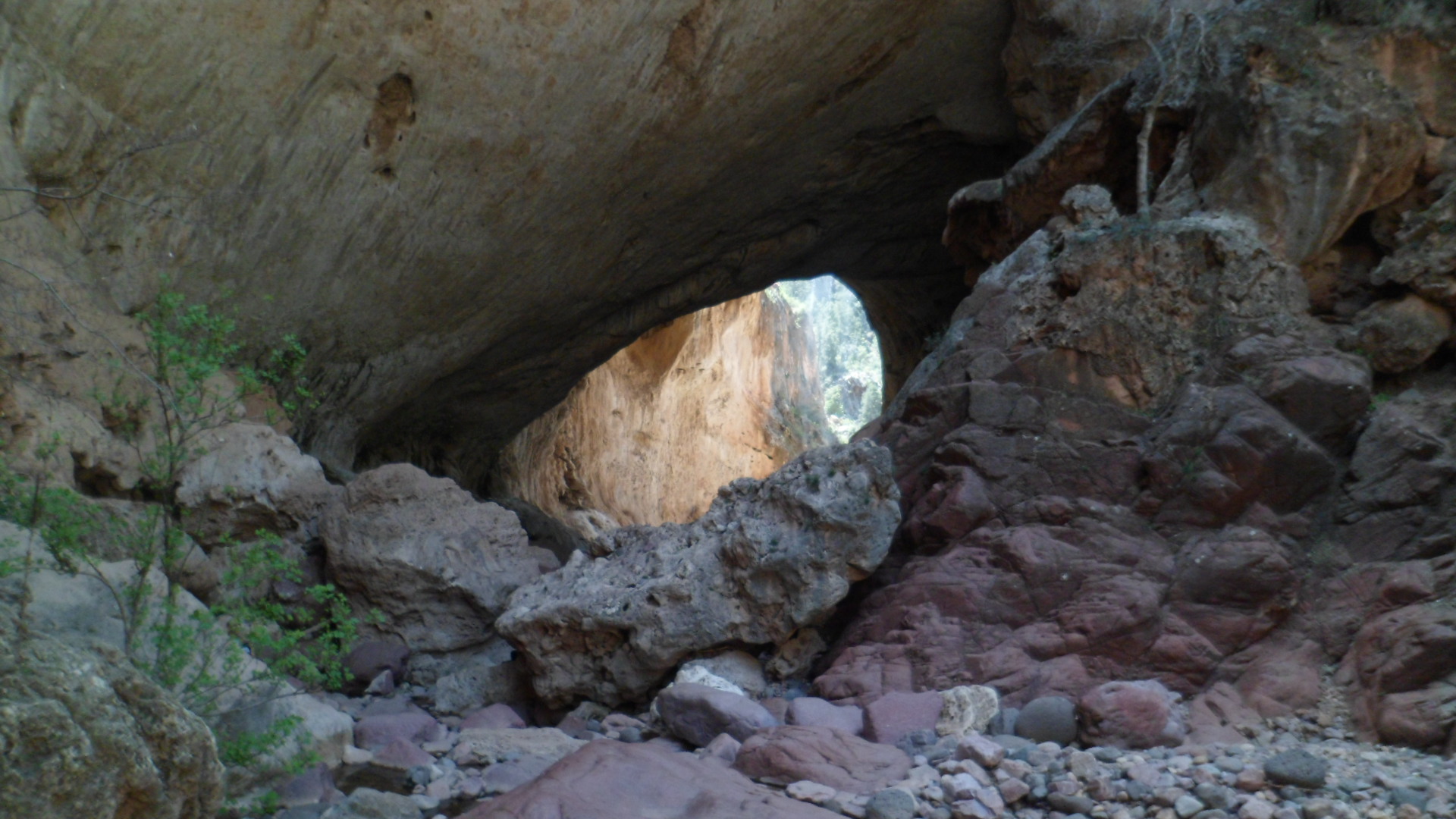
April 4, 2015, Cherry, AZ- On any given day, there are hundreds of possibilities, for both good and ill. I set out this morning for Tonto Natural Bridge, looking to explore the northern approach to the Bridge, via Pine Creek Trail. I had gone the southern route on my first visit, last Fall. The link between the two is a six-inch wide ledge, that is navigable by hugging the rock face, for about three feet of trail. I have declined to so navigate. My purpose in hiking is never bravado or machismo, but understanding.

I spent about an hour there, looking at the remnants of a waterfall, above Pine Creek, and walking along the creek, going through the small caves above it and marveling anew at the Natural Bridge.

The slight sprinkle of fluid, at the “waterfall” is not done justice by a mere photograph.

SAM_4703

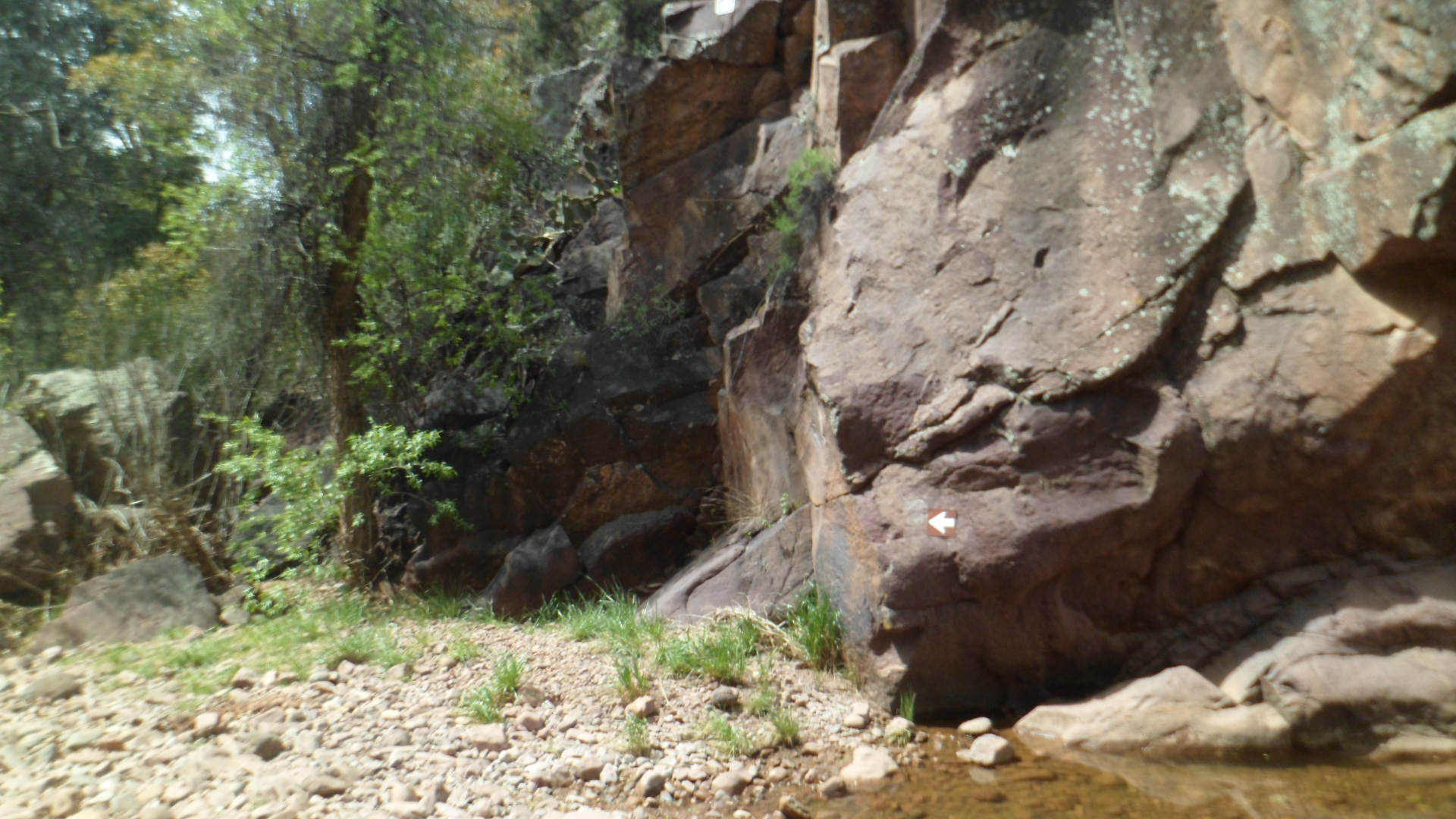
Pine Creek Trail, on the other hand, means lots of boulder hopping, along the creek bed.

SAM_4709
SAM_4710

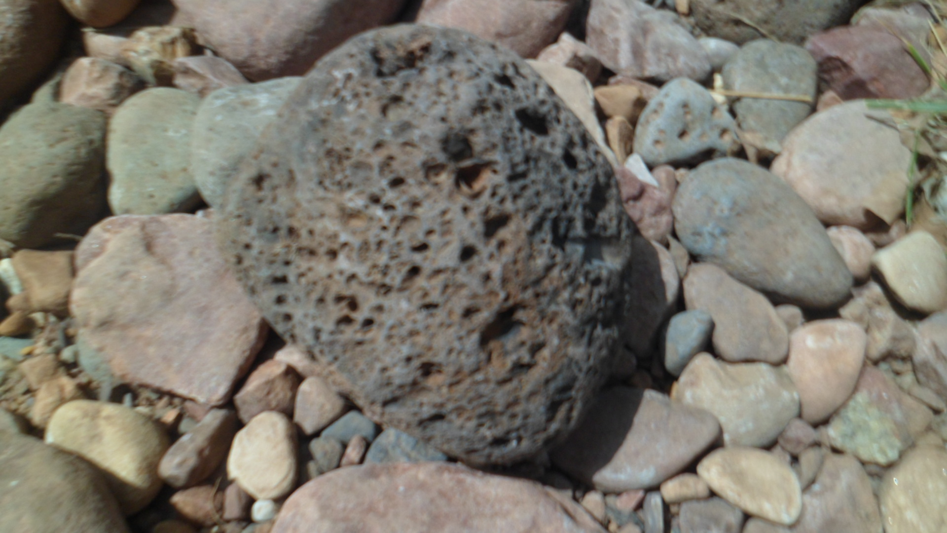
The basalt, which makes up much of the area, may be examined up close.

SAM_4712

This is the consummate Southwest- constant interplay between rock and water.

SAM_4715

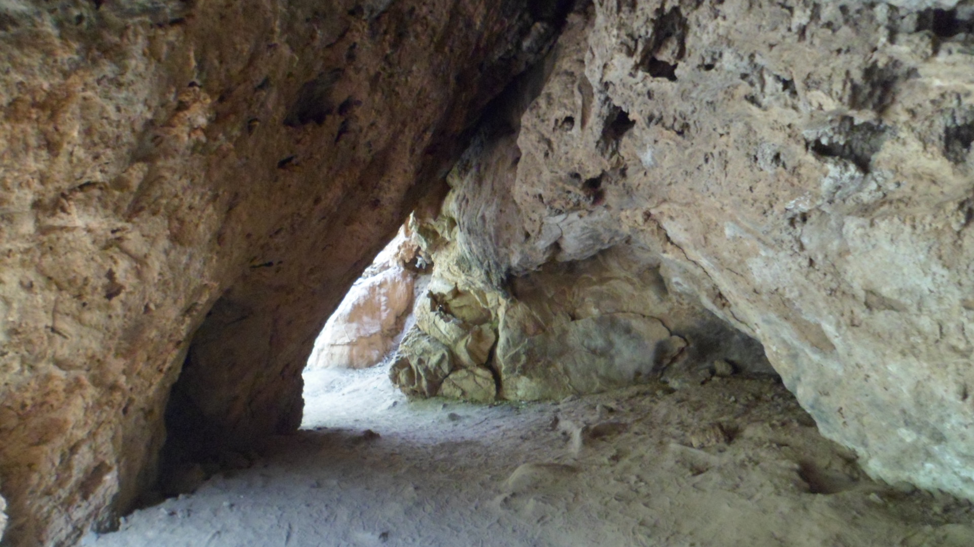
Small caves abound, north of the Natural Bridge.

SAM_4725

You may see the first of my confirmations, as the two ledges meet.

SAM_4727
SAM_4735

Segments of the Bridge show escape hatches for the light.

SAM_4737
SAM_4739
SAM_4741
SAM_4748

I stood, contemplating the Natural Bridge, for about ten minutes, while encouraging those who had selected to traverse the narrow ledge between the north and south sides. I can’t see the thrill, but they felt it.

After a satisfying lunch at Early Bird Restaurant, in Pine, I headed over to Pine Trailhead, for a five-mile roundtrip intro to the Arizona Trail.

SAM_4750

Actually, I have walked about three miles or so of the Trail, in Davidson Canyon, near Tucson. The Trail itself runs 807 miles, 795 of which go directly from the Mexican border to the Utah state line. The other twelve miles circumnavigate Flagstaff.

I chose Oak Springs Trail, which takes one across Highway 87, over to a Reservoir and up to a ridge line.

Spring is springing! These looks like hounds tongues, but I could be mistaken.

SAM_4752

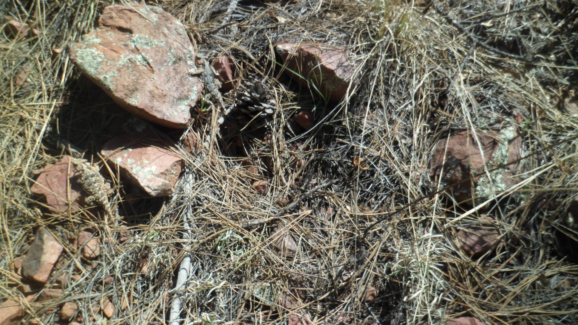
There was no mistaking the horned lizard, however.

SAM_4754

I rested at this little nook, just east of a reservoir, called Bradshaw Tank.

SAM_4757
SAM_4761

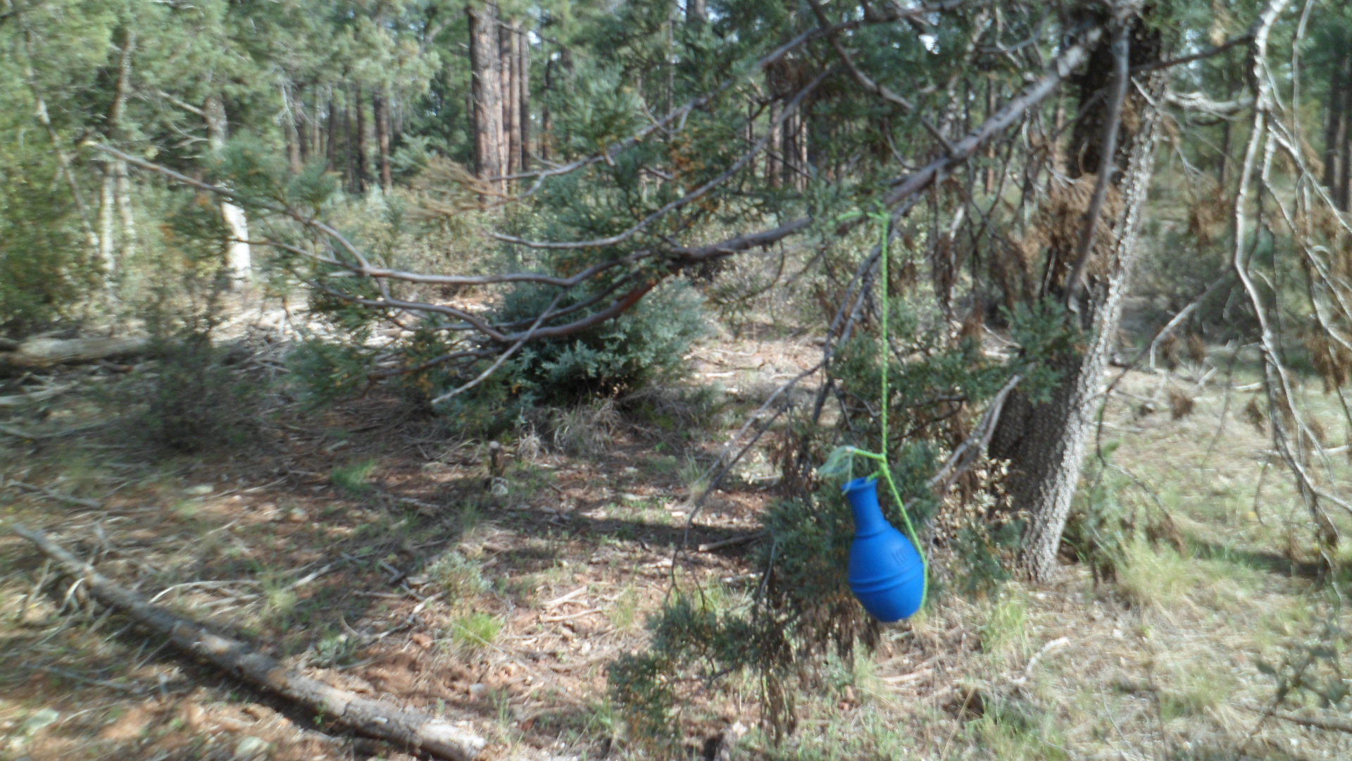
I did not go all the way to Oak Spring, choosing to save the majority of this magnificent trail for another time. There were some anomalous sights on the way back: A memento of a previous hiker’s visit;

SAM_4769

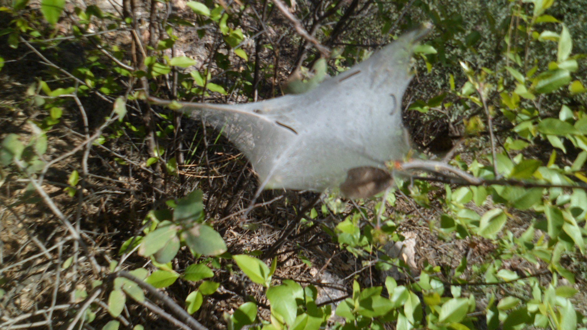
A scene of life that is emerging;

SAM_4770

and finally, my second confirmation of the day.

SAM_4765

I headed back down towards Camp Verde and Prescott, after that.

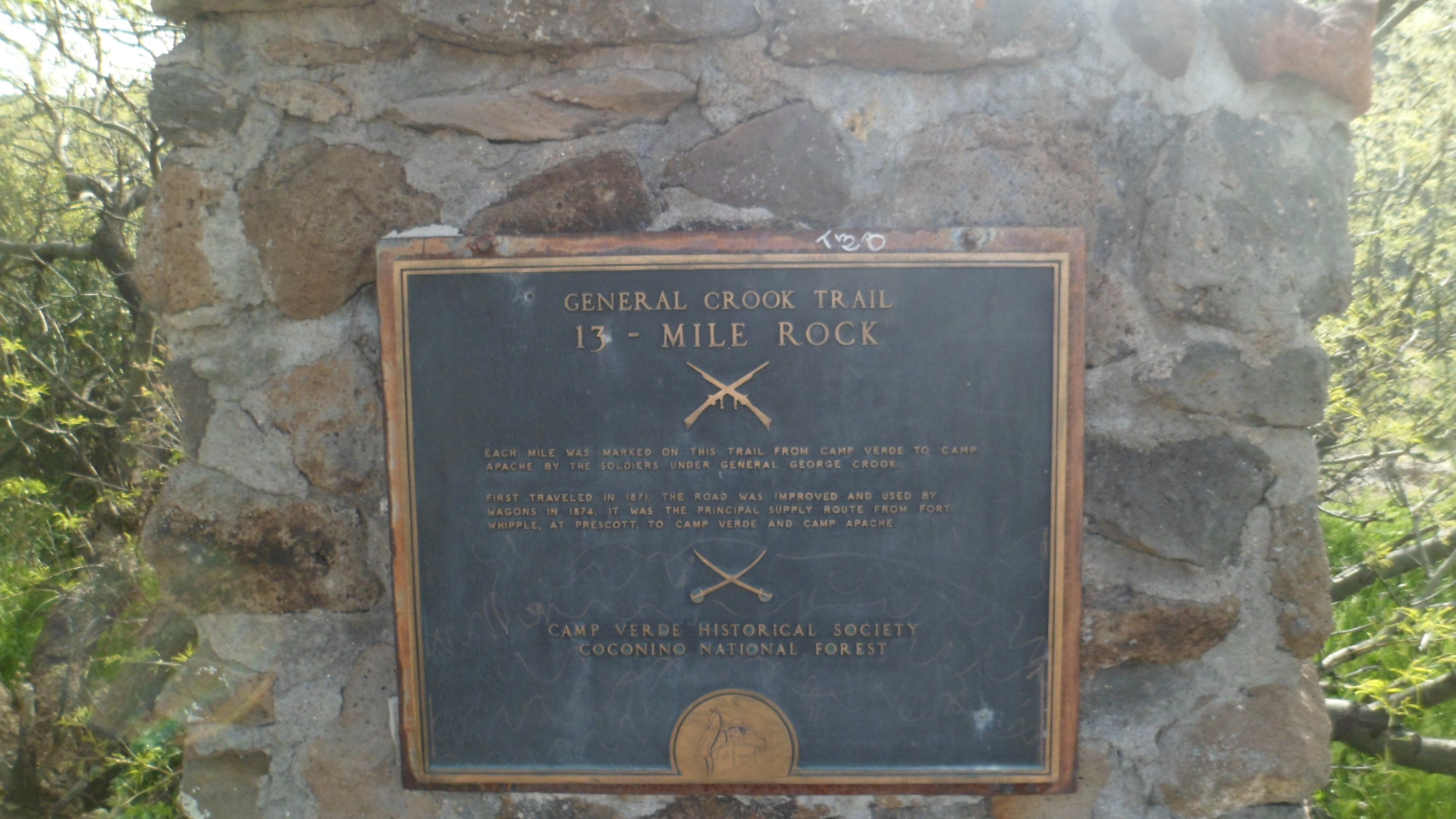
There is an interesting pullout, on the way up to the Mogollon Rim, at Mile 13 of the General Crook Highway. This area is closely associated with the unfortunate conflict between the U.S. Cavalry and the Tonto Apaches, as I have explained in a 2012 post on Fort Verde State Park.

SAM_4687
SAM_4688

Thus was the interplay between light and shadow. Little did I know, driving down the switchbacks and along I-17 towards Hwy 169, and home, that this drive would likely be the last, for my trusty Kia Optima. Its brakes locked, as I approached the stop sign at the 169 just a bit too fast, and ended in a ditch. Two hours later, my car, shattered windshield, deployed air bag and all, was in a tow yard. I was at home, explaining to those closest to me, by phone, what had happened, as my client listened and offered his own support, while organizing his possessions for Monday’s move. The State Patrol and the judge in Mayer are sympathetic, but still say I need to take an online Traffic Safety course. Yes, indeed,  officers, and Your Honour. I will take the course, treat my scrapes and scratches, work with the insurance company, get back to mobility and not take anything for granted, ever again.

Happy Easter.