Pacific Rim National Park Reserve

6

July 22, 2024, Halfmoon Bay, BC- The earnest young guide touted West Coast Trail, a strenuous 75-mile trail that incorporates just about every skill a wildland fire fighter, or candidate for the Survivor reality series, would need in order to meet with success. He is in university, and so has not set aside his own time to do the trek-but I could see in his eyes that the will is there. The trail’s northern terminus is near Bamfield, southeast of the Ucluelet-Tofino main segment of this Reserve. Its southern trailhead is just northeast of Port Renfrew, which itself is 110 km west northwest of Victoria. The route is on par with Newfoundland’s East Coast Trail, Ireland’s Wild Atlantic, the Florida Trail, Rim-to-Rim in the Grand Canyon and Michigan’s Keweenaw Peninsula Trail. It would be a good prep for an Appalachian, Pacific Crest, Continental Divide, Colorado, or Arizona Scenic trek.

My own short hikes today gave me a good sense of what a dedicated exploration of the area would entail. Stops were at Radar Hill, Grice Bay, Combers Beach, Rainforest Trail and Kwisitis Visitor Center (where the young man was touting the trail.)

Here are scenes from those spots.

Approach to Radar Hill. This site has the remnants of a World War II era Canadian Forces radar station, which kept watch for any Japanese incursions into Canadian airspace.

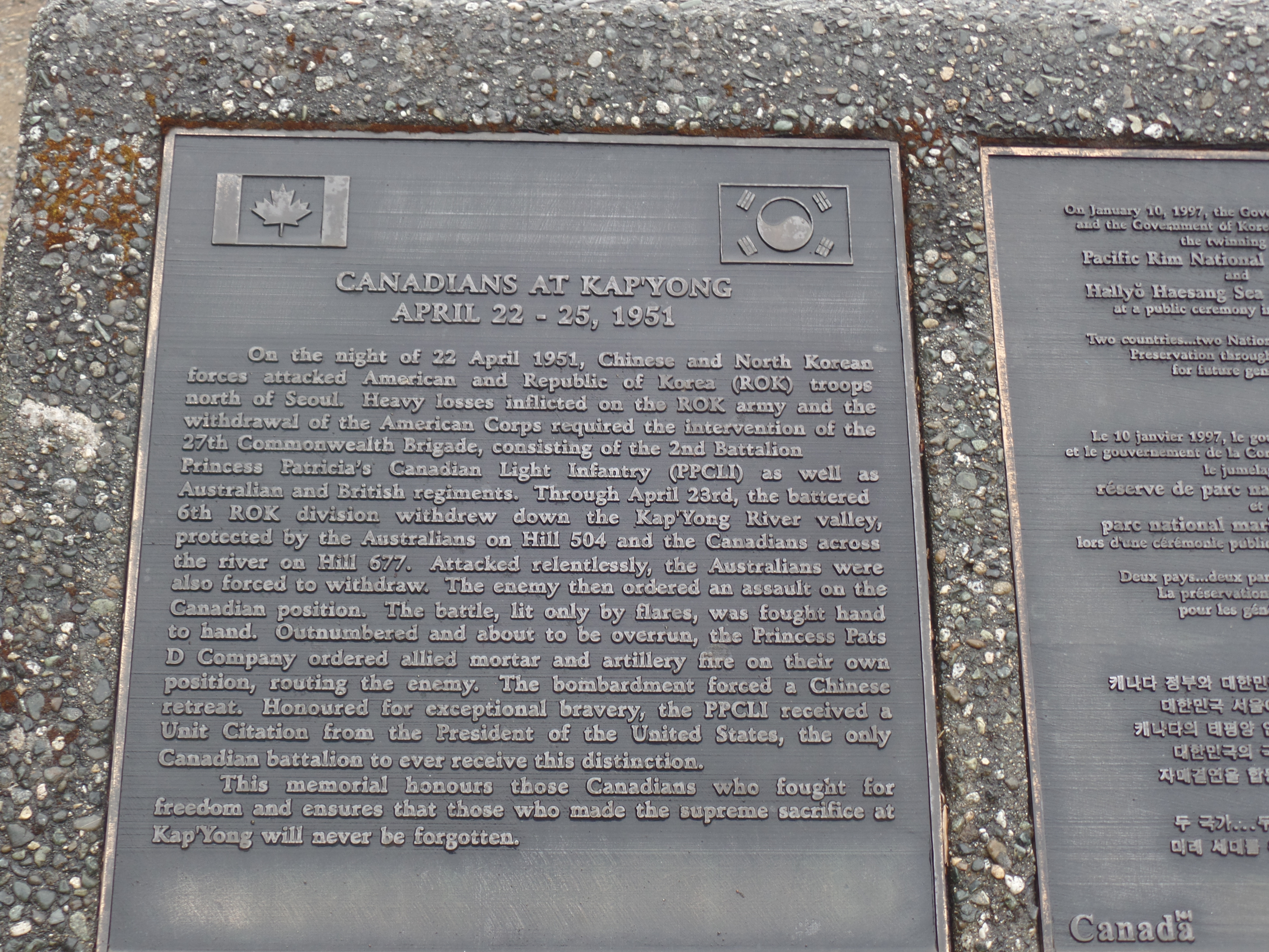
Canada was a key member of the Allied forces in the Korean War, as well. This plaque commemorates the Canadian Forces’ landing at Kapyong.

Commemorative ciinul for Radar Station. Like indigenous people in the United States, First Nations people in Canada were all-in, for defending the homeland during wartime.

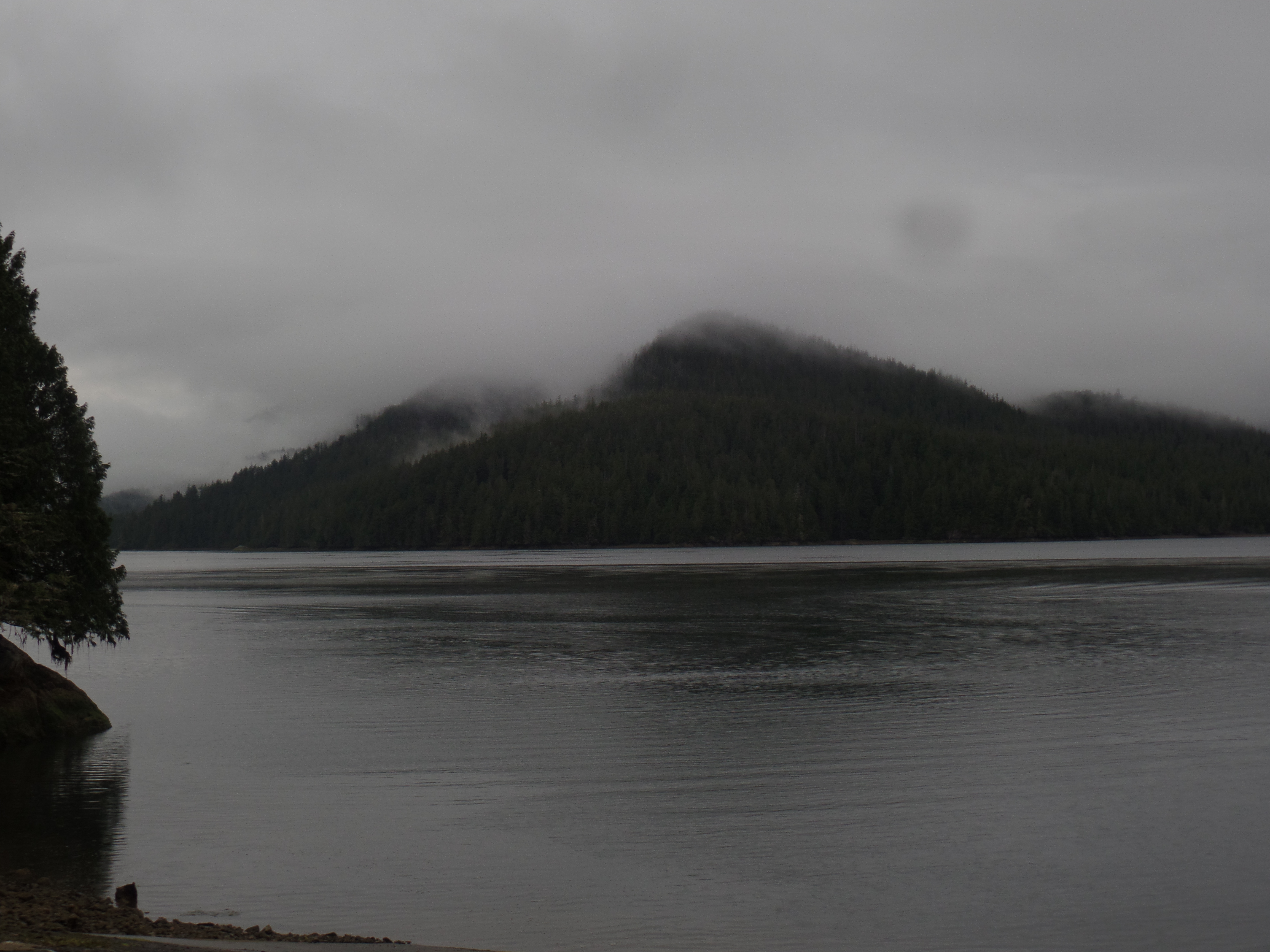
Grice Bay lies about three kilometers east of the main Pacific Rim (Tofino-Ucluelet) Highway. It’s a major recreational fishing area, as one might expect, and there were quite a few boats being launched, while I was checking the place out.

View of Grice Bay from the west.
Southwest view of Grice Bay
Dolphins were moving about the bay-also looking for fish.
Incinerator Rock is a spot popular with surfers, just north of Rainforest Trail and Combers Beach.

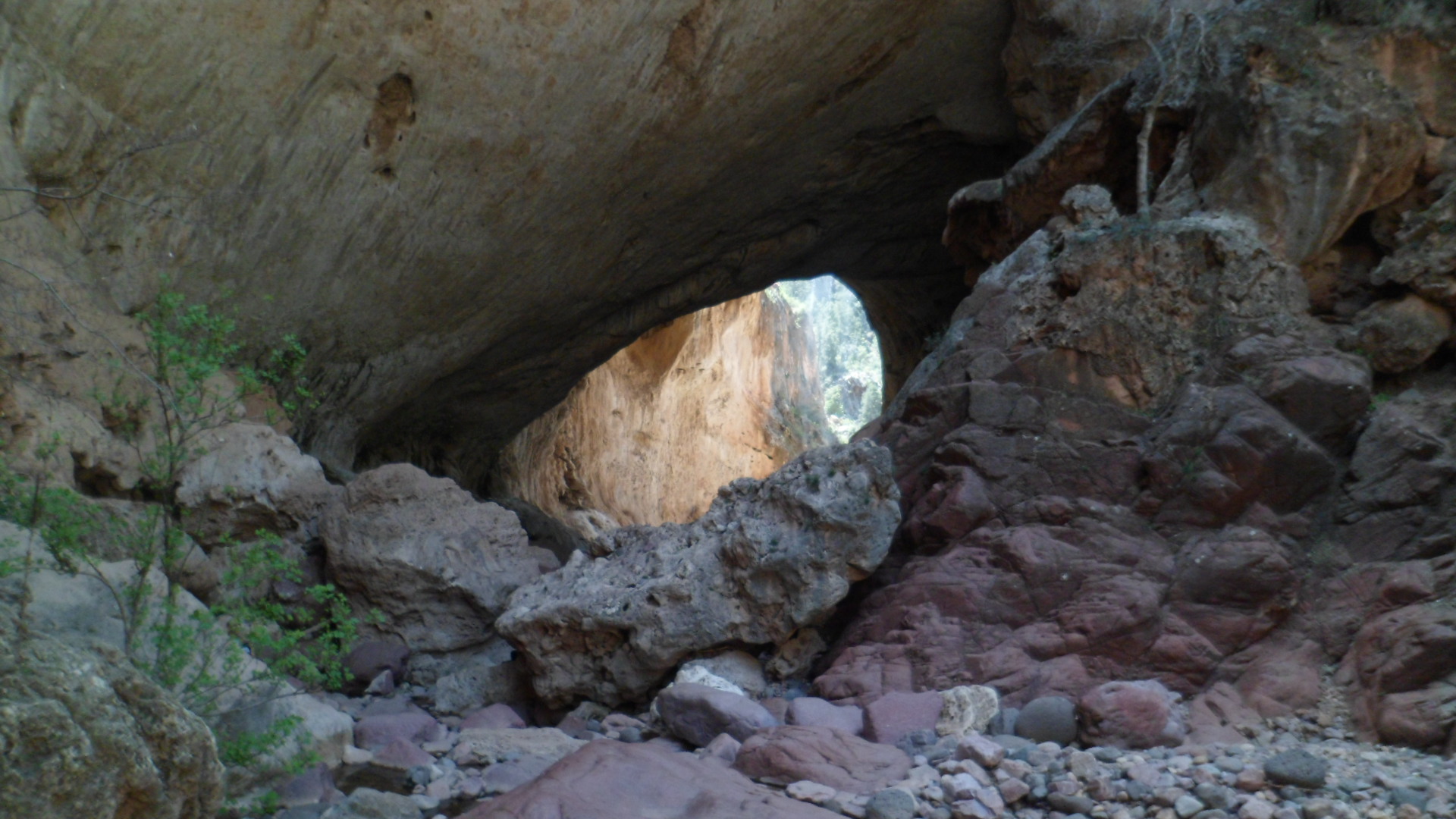
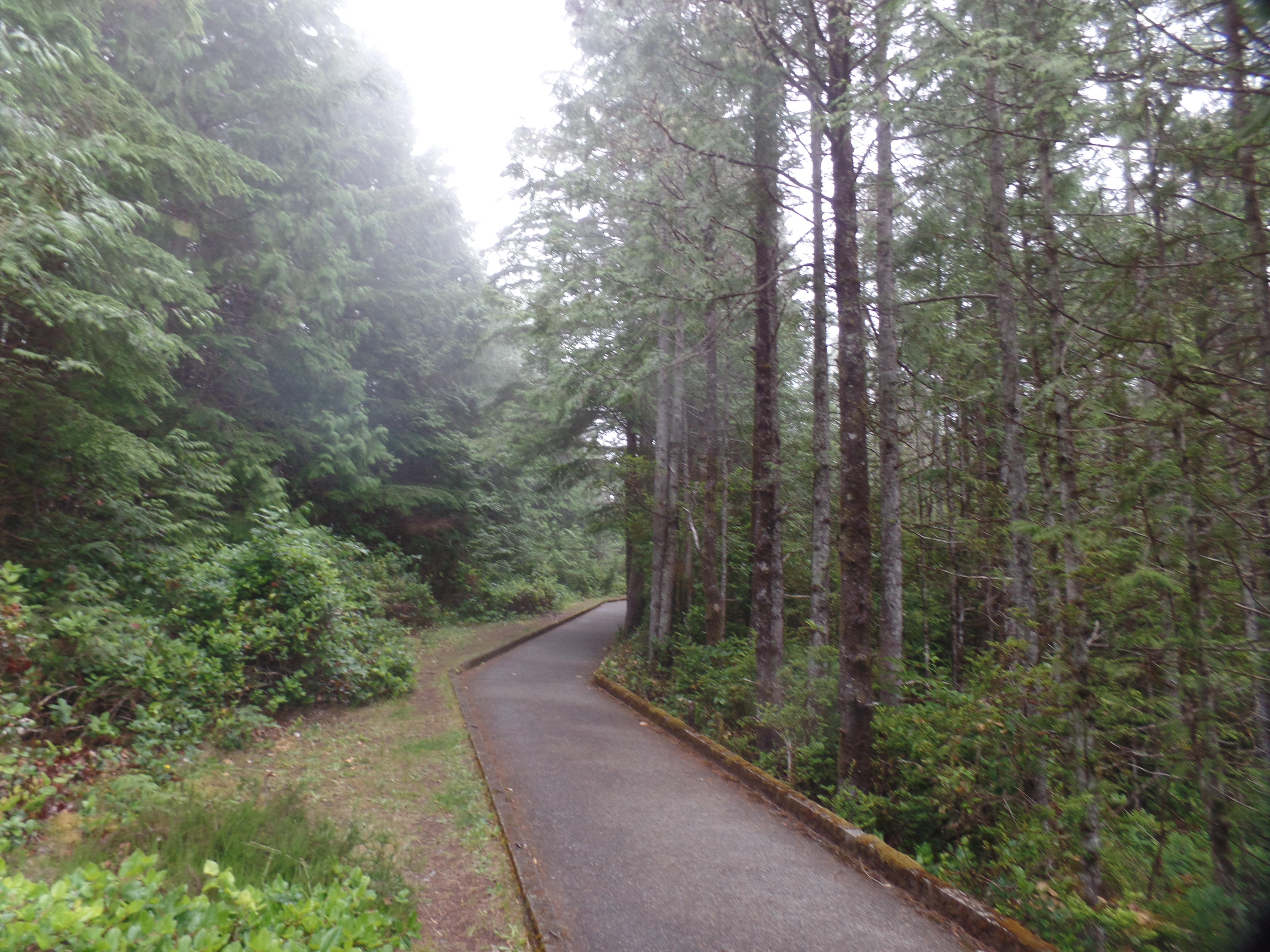
The trail to Combers Beach has several elements of the rain forest, in and of itself.

Looking at these giant ferns transported me to the Silurian Era.
Huckleberries abound at Combers Beach.

Driftwood forts are everywhere at Pacific Rim. Combers Beach reminded me of Kalaloch, Washington, in that respect. (Next two photos)

This looks like a fair shelter from a storm.

The surf at Combers looks as enticing as any I’ve seen, north of Doheny. The beach is famous for its riptides, and guidance on how to handle a riptide is prominently displayed here.

Incoming tide, Combers Beach

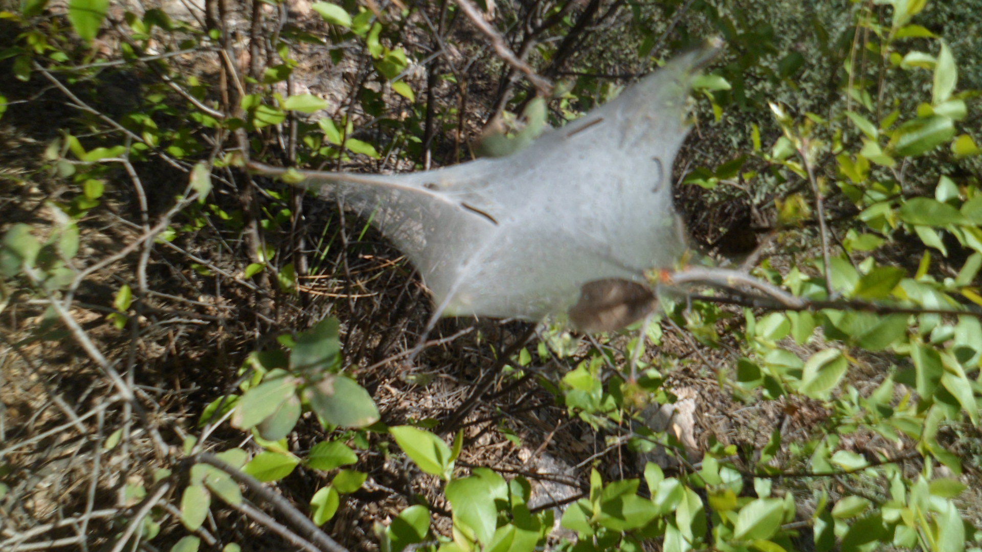
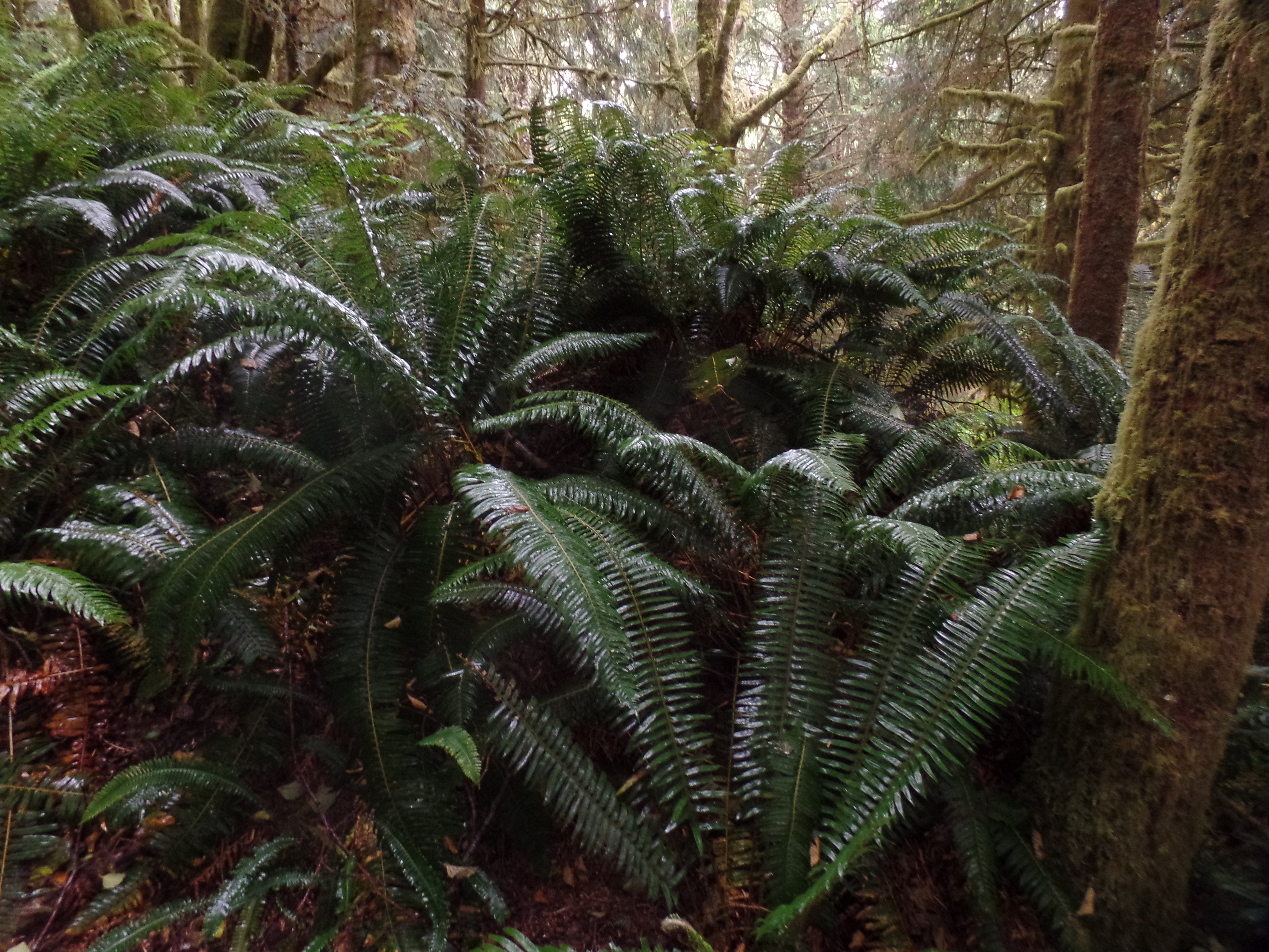
Next up was Rainforest Trail. It was not really redundant, after the Combers experience, reinforcing the importance of recognizing the fragility of both the water table and the soil. Water storage is not strong here, because the soil is so thin. For communities like Tofino and Uculuet, this means taking strong conservation measures, despite the high average yearly rainfall. Rainforests endure more droughts than one might think.

Canopies help to preserve water, by limiting sunlight.

Red cedars, Rainforest Trail, Pacific Rim.
Sitka spruce coexist nicely with red cedars.
Saplings, springing up, guard the soil’s moisture even more.

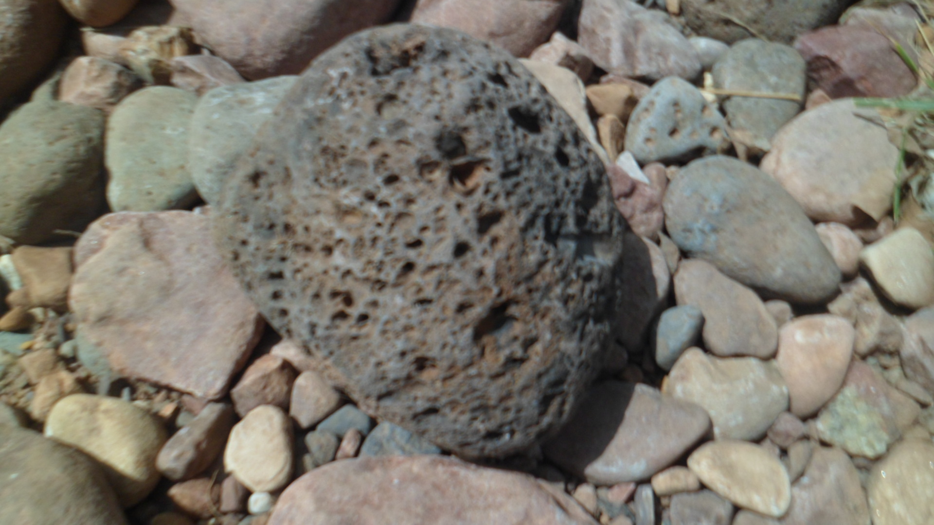
Finally, at Kwisitis, there was a feast of driftwood and black basalt.

Wickawinnish Beach, Kwisitis
Basalt outcroppings, Kwisitis

In this Visitor Center, we learned much about the sacredness with which the Tla-o-qui-aht and neighbouring nations approach the whale hunt, to this day. The bowhead is taken with the same reverence that other Indigenous hunters approach the hunting of bison, deer or elk. The entire animal is put to use, once the kill is made, and there was/is a strict limit on the hunt.

The balance of nature weighs on the minds of all who wish to see our Planet thrive. The Nuu-cha-hulth-aht, of Ucluelet, are no exception.

In Utmost Isolation

10

April 30, 2016, Black Canyon-  This is a few days late getting to print, but here is what happened today. I started out in mid-morning, stopping in for breakfast at Flour Stone Bakery, a lovely little spot in the old mining town of Mayer, some 30 miles southeast of Prescott.  It has authentic challah, and finely baked rye and other loaves of bread.  I am inclined to stop here on future forays along Black Canyon National Recreation Trail, which I started walking, in segments, about 15 months ago- just north of Mayer.

Here is Flour Stone Bakery, inside and out.

It seemed that the entirety of western Yavapai County, from Prescott to Mayer, was hopping, with one form of mass entertainment or another- Bicycle Marathon, Antique Car Show and, here, just plain Antique Shows.

I needed to get back into the wilderness, though, at least for several hours.  So, on to Black Canyon it was.

The segment I hiked today extended from Black Canyon City’s trailhead to Cottonwood Gulch, about 6 miles one way.  It is roughly 3/8 of the Black Canyon-Table Mesa Road section of this amazing high desert system.  In a nutshell, that means I have hiked a bit more than half of the entire trail (44 of 81 miles), over the past 15 months. Manageable segments work well for me, in this regard.

Here are a few scenes from along the trail, which alternates between hugging the Agua Fria and exploring the rugged hills and mesas, west of the river.

SAM_6739.JPG

Here is a view of Horseshoe Bend, about two miles south west of the trailhead.  A family was enjoying the water of Agua Fria, at this serene spot. They were among the few people I encountered this afternoon.  Six bicyclists, here and there, rounded out the “companionship”.  Mostly, though, it was the desert and me, alone.  Plants, though, were quite prolific.

SAMSUNG CAMERA PICTURES

Flowering barrel cactus, Black Canyon

SAMSUNG CAMERA PICTURES

Emerging cholla, in basalt field

SAMSUNG CAMERA PICTURES

Mr. Sandstone

He didn’t bring me a dream, but his presence was oddly reassuring, in the quiet of the afternoon.

SAMSUNG CAMERA PICTURES

Hilltop bench, Cheapshot Mine region

I chose this little redoubt, atop Cheapshot Hill, to rest and write a bit in my journal. After a brief interlude here, I kept on going to Cottonwood Gulch, just shy of an intriguing Thumb Butte-like mesa, whose name escapes me.  I will check that one out on my next segment hike, from Table Mesa Road, probably next Fall.  Here is where I chose to turn around.

SAM_6758.JPG

This bush reminded me a bit of mimosa, though I know it is something different- just don’t know its name.  It looks like a four-wing saltbush, but the flowers resemble those of saltcedar.

SAMSUNG CAMERA PICTURES

Desert lily, Cottonwood Gulch

Well, those last two gave me a reason to pick up a wildflower book, which was actually part of a map of Death Valley, of all places.

This trail was certainly the most isolated I’ve experienced since Seven Falls, northeast of Tucson, and it was every bit as satisfying a challenge- 12 miles in a day.

.Upon returning to community life, a poetry reading and a lively jazz-funk concert rounded out this last day of April.

SAMSUNG CAMERA PICTURES

Heart-shaped Prickly Pear colony


The Road to 65, Mile 127: Light and Shadow

10

April 4, 2015, Cherry, AZ-   On any given day, there are hundreds of possibilities, for both good and ill.  I set out this morning for Tonto Natural Bridge, looking to explore the northern approach to the Bridge, via Pine Creek Trail.  I had gone the southern route on my first visit, last Fall.  The link between the two is a six-inch wide ledge, that is navigable by hugging the rock face, for about three feet of trail.  I have declined to so navigate.  My purpose in hiking is never bravado or machismo, but understanding.

I spent about an hour there, looking at the remnants of a waterfall, above Pine Creek, and walking along the creek, going through the small caves above it and marveling anew at the Natural Bridge.

The slight sprinkle of fluid, at the “waterfall” is not done justice by a mere photograph.

SAM_4703

Pine Creek Trail, on the other hand, means lots of boulder hopping, along the creek bed.

SAM_4709

SAM_4710

The basalt, which makes up much of the area, may be examined up close.

SAM_4712

This is the consummate Southwest- constant interplay between rock and water.

SAM_4715

Small caves abound, north of the Natural Bridge.

SAM_4725

You may see the first of my confirmations, as the two ledges meet.

SAM_4727

SAM_4735

Segments of the Bridge show escape hatches for the light.

SAM_4737

SAM_4739

SAM_4741

SAM_4748

I stood, contemplating the Natural Bridge, for about ten minutes, while encouraging those who had selected to traverse the narrow ledge between the north and south sides.  I can’t see the thrill, but they felt it.

After a satisfying lunch at Early Bird Restaurant, in Pine, I headed over to Pine Trailhead, for a five-mile roundtrip intro to the Arizona Trail.

SAM_4750

Actually, I have walked about three miles or so of the Trail, in Davidson Canyon, near Tucson.  The Trail itself runs 807 miles, 795 of which go directly from the Mexican border to the Utah state line.  The other twelve miles circumnavigate Flagstaff.

I chose Oak Springs Trail, which takes one across Highway 87, over to a Reservoir and up to a ridge line.

Spring is springing!  These looks like houndstongues, but I could be mistaken.

SAM_4752

There was no mistaking the horned lizard, however.

SAM_4754

I rested at this little nook, just east of a reservoir, called Bradshaw Tank.

SAM_4757

SAM_4761

I did not go all the way to Oak Spring, choosing to save the majority of this magnificent trail for another time.  There were some anomalous sights on the way back:  A memento of a previous hiker’s visit;

SAM_4769

A scene of life that is emerging;

SAM_4770

and finally, my second confirmation of the day.

SAM_4765

I headed back down towards Camp Verde and Prescott, after that.

There is an interesting pullout, on the way up to the Mogollon Rim, at Mile 13 of the General Crook Highway.  This area is closely associated with the unfortunate conflict between the U.S. Cavalry and the Tonto Apaches, as I have explained in a 2012 post on  Fort Verde State Park.

SAM_4687

SAM_4688

Thus was the interplay between light and shadow.  Little did I know, driving down the switchbacks and along I-17 towards Hwy 169, and home, that this drive would likely be the last, for my trusty Kia Optima.  Its brakes locked, as I approached the stop sign at the 169 just a bit too fast, and ended in a ditch.  Two hours later, my car, shattered windshield, deployed air bag and all, was in a tow yard.  I was at home, explaining to those closest to me, by phone, what had happened, as my client listened and offered his own support, while organizing his possessions for Monday’s move.  The State Patrol and the judge in Mayer are sympathetic, but still say I need to take an online Traffic Safety course.  Yes, indeed,  officers, and Your Honour.  I will take the course, treat my scrapes and scratches, work with the insurance company, get back to mobility and not take anything for granted, ever again.

Happy Easter.