June 3, 2015, Vancouver- It’s been about thirty one years since I last crossed the border into Canada. back then, it was a driver’s license, pop the trunk and howdy-do to get back and forth. Since 9/11/01, nothing is left to chance.
To be fair, I got in the NEXUS lane by mistake, and was hailed into Customs Hall, while my vehicle was searched. All officials were polite and determined I was hardly a risk. I was cautioned, though, to be prepared to offer a list of those with whom I might be visiting, next time I make a border crossing. That will be useful, as there a few people I would like to visit in BC, later this month- after returning from Alaska. I will also not go in the NEXUS line.
Driving north, I have encountered a few local traffic quirks. In Olympia, WA, for example, the turn lane out of the Capitol Campus, to get back on I-5, is the width of a bicycle lane, and not readily visible. Nonetheless, all the locals are used to it, and there was horn-honking, wailing and gnashing of teeth, when I waited for the left turn signal, whilst occupying what turned out to be the MIDDLE lane.
On BC Hwy. 99, the northward extension of I-5, it is expected that all remain locked in their lanes, and not deviate a hair’s breadth to the right or left- lest there be horn-honking, wailing and more gnashing of teeth. Vancouverites tend to honk at each other as often as southern Californians, though not as often as people in Scottsdale, Phoenix or San Juan, Puerto Rico.
I had no problems, though, in getting to the various parking garages that I used, in what turned out to be a nine hour exploration of Canada’s window on the Pacific. Most of that time, I was on foot. Navigating by car is easy. The Canadian directional signs are small, but well-placed, so as to minimize confusion. I also very much appreciate the lack of billboards.
My first walk was from South Granville to Kits Point, by way of the pedestrian underpass.

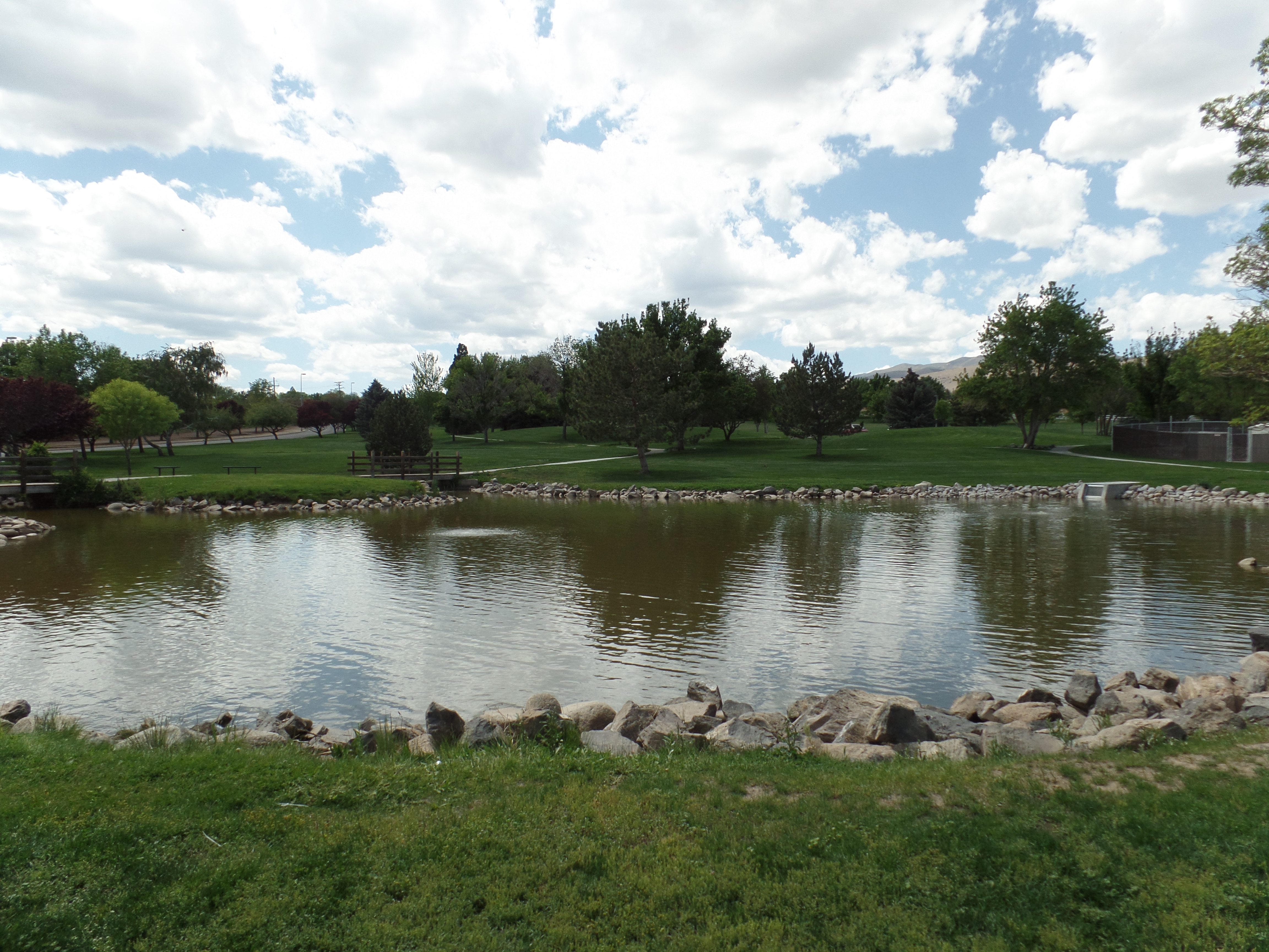
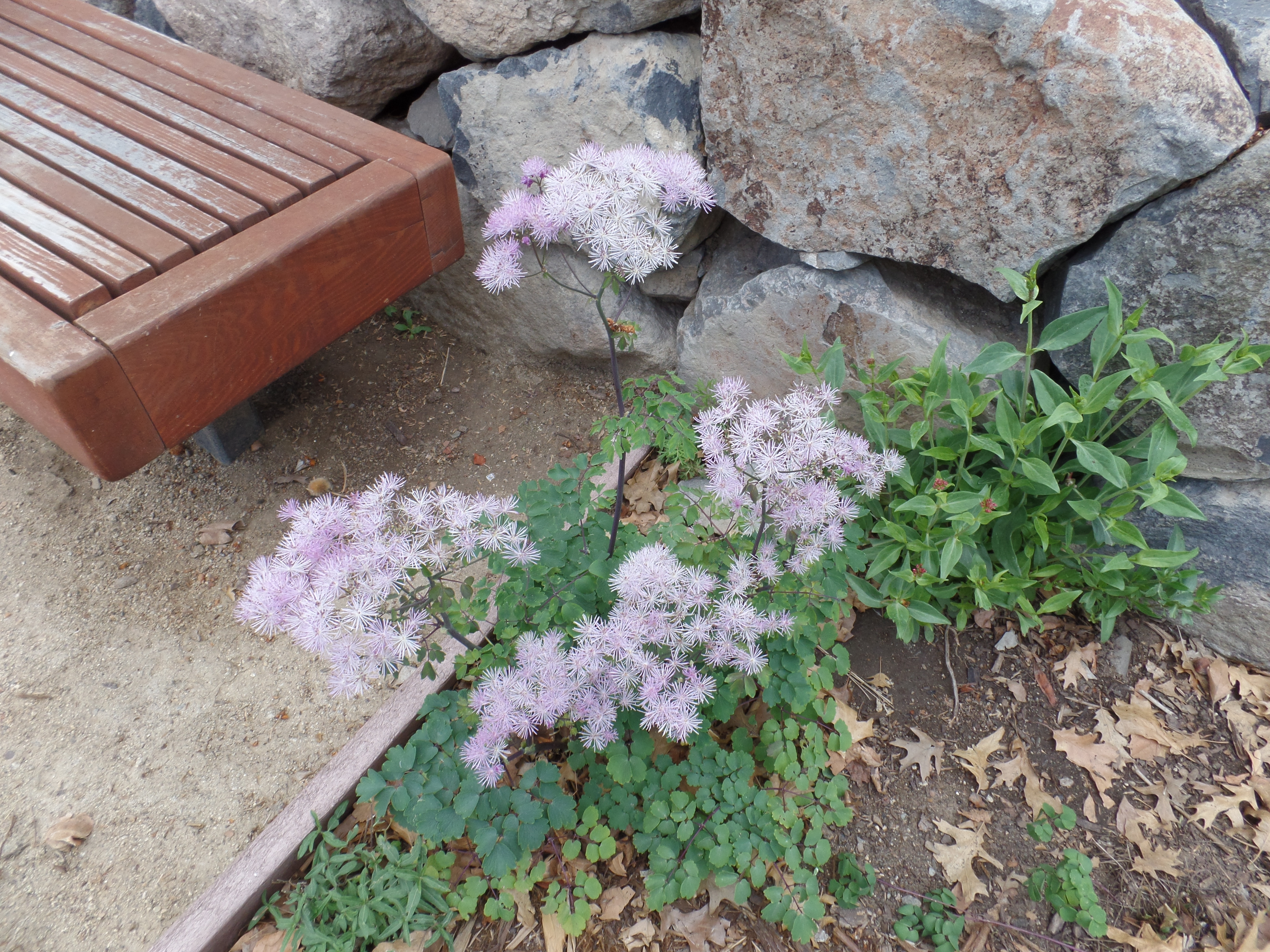
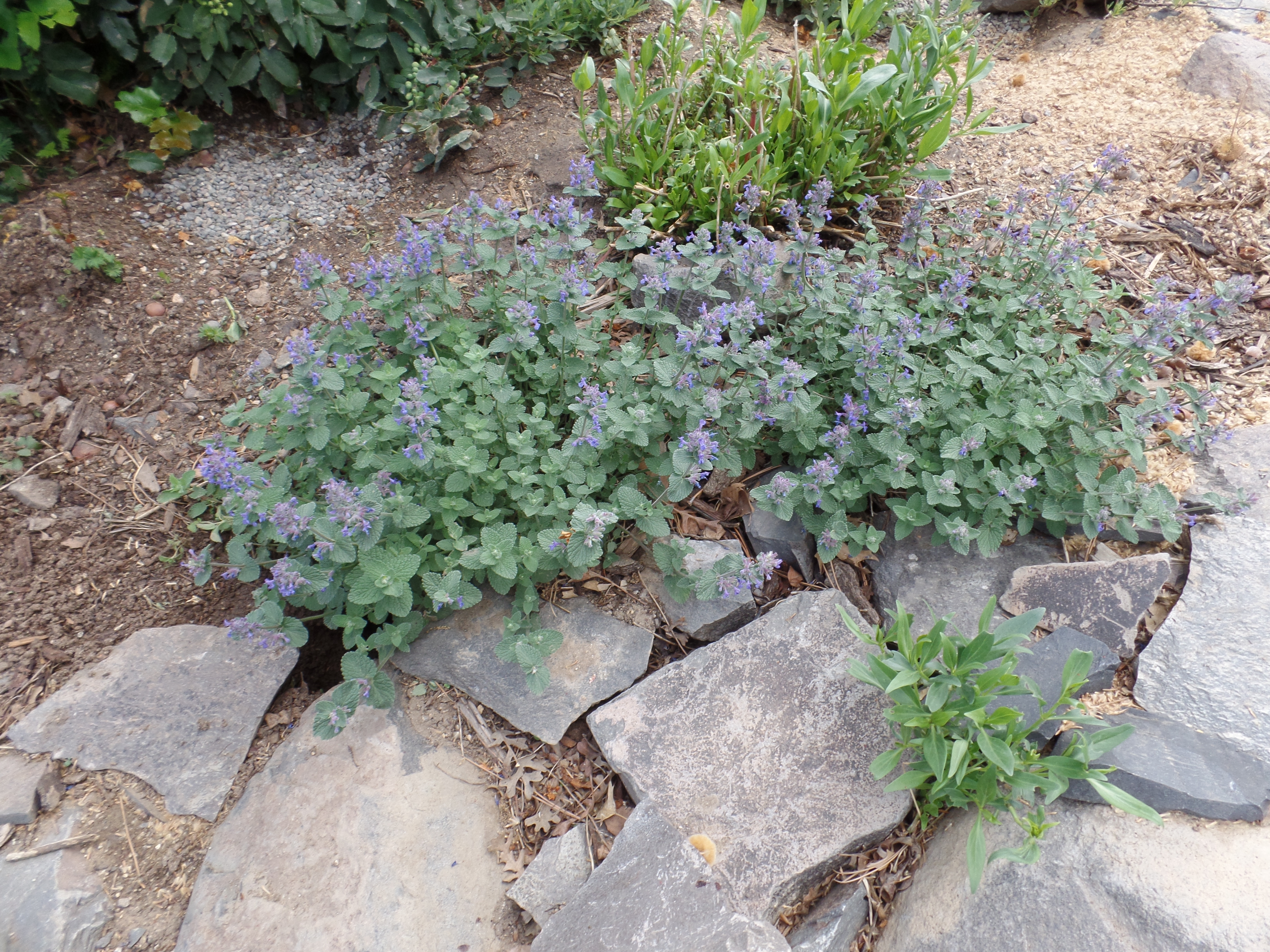
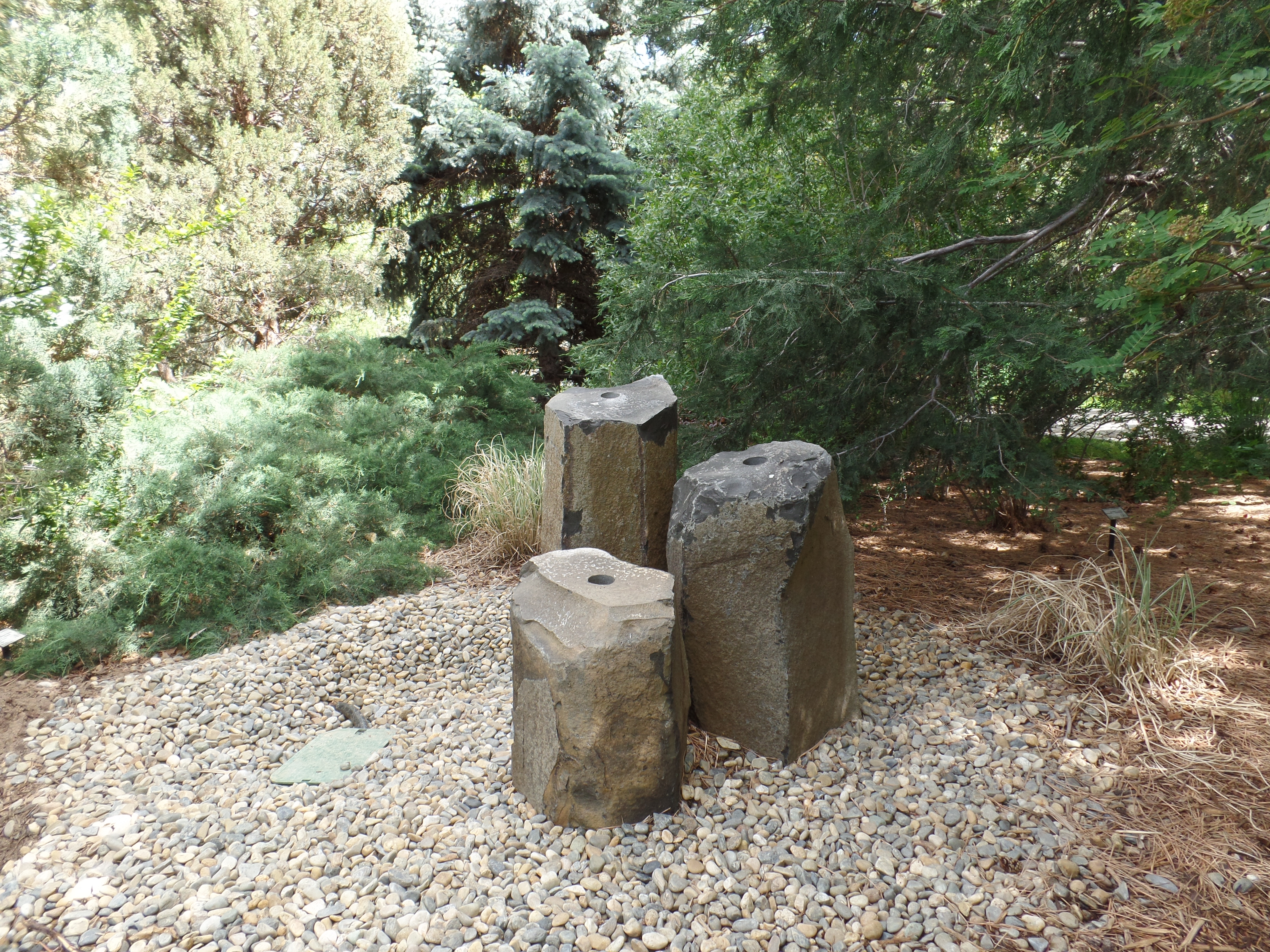
Flora of Granville Pedestrian Path
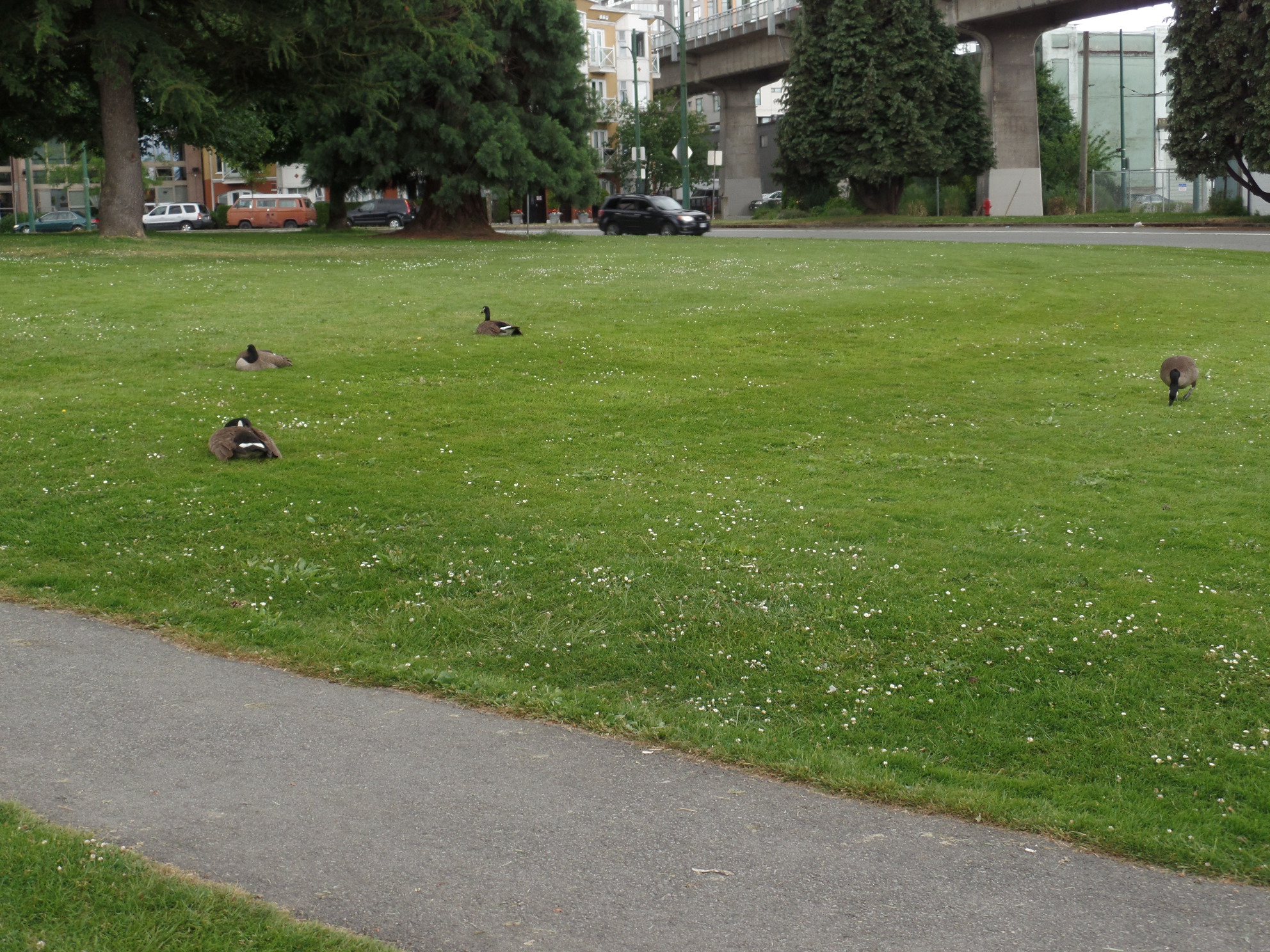
“Where are all the Canadian geese this year?” Why, they’d be up in Canada, of course.
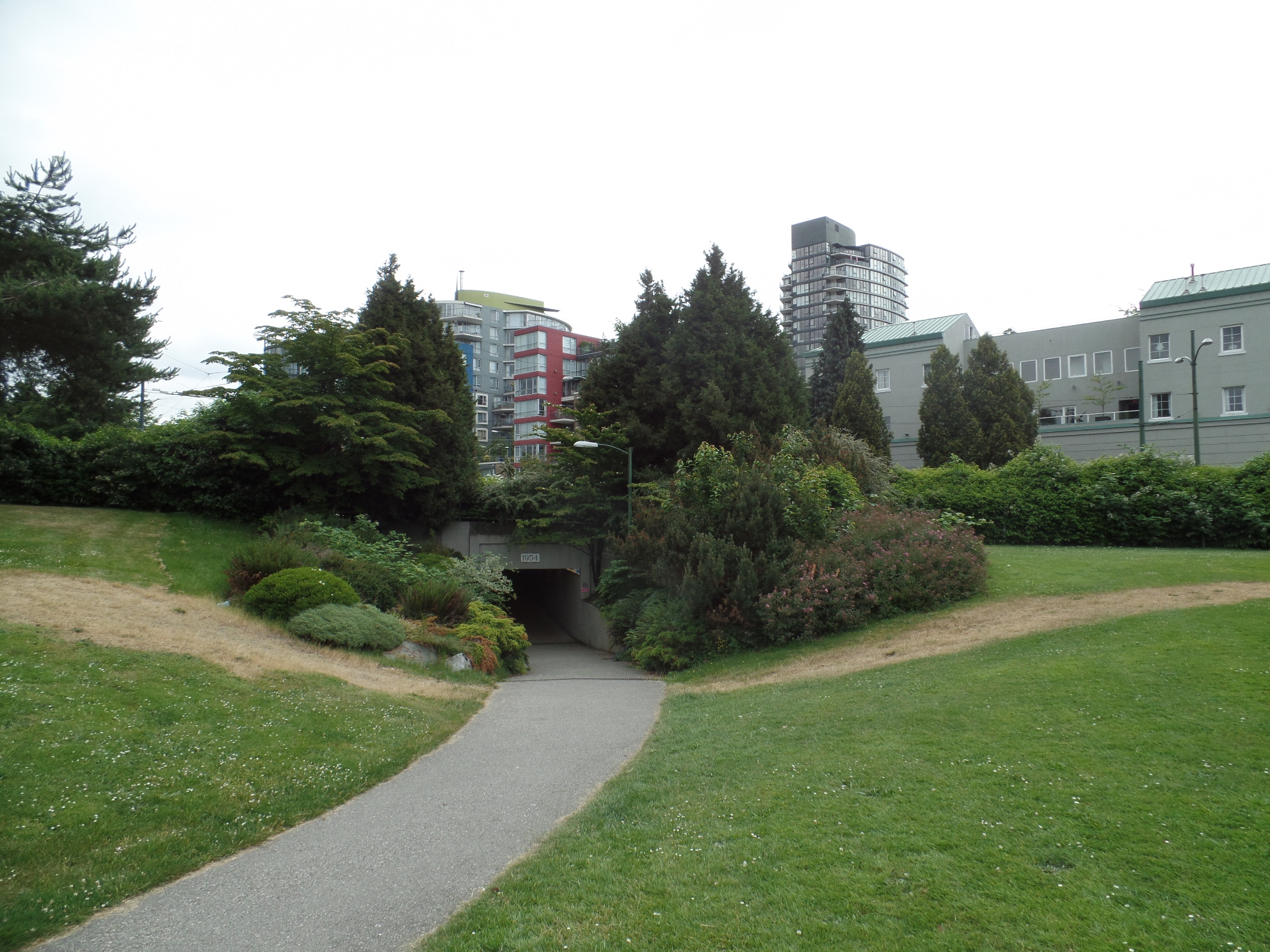
One must use this tunnel, to get to Kits Point on foot or by bicycle. Of course, being South Granville, it’s perfectly safe by day.

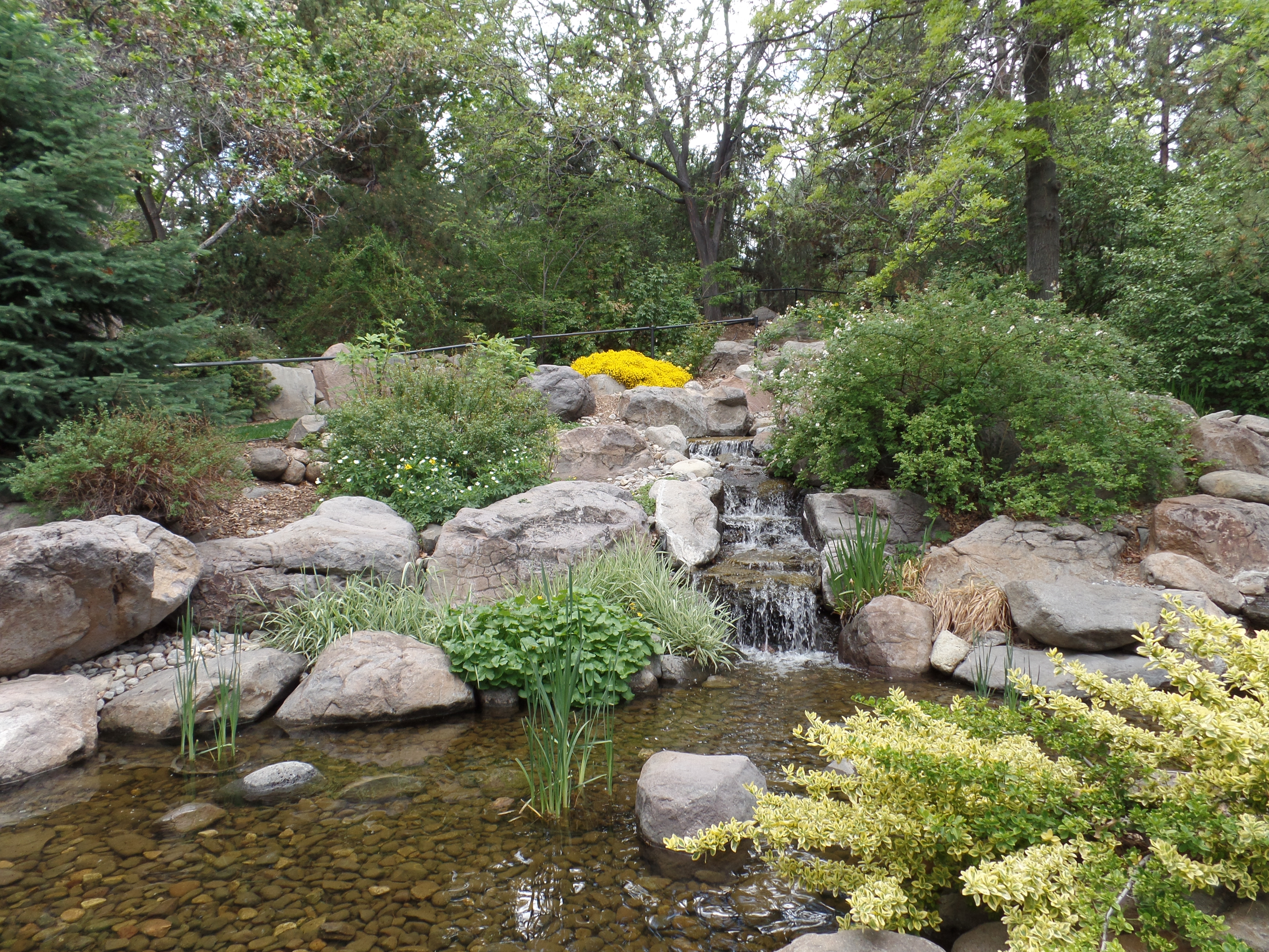
This pleasant little park sets the tone for Kits Point, which is a hipster neighbourhood, not used to tourists. I had a mild, but satisfying meatball panini at Epicurean Cafe. Here, I learned that, unlike in the U. S., a patron must bring the ticket up to the counter. Servers do not act as cashiers in Vancouver, I was told.
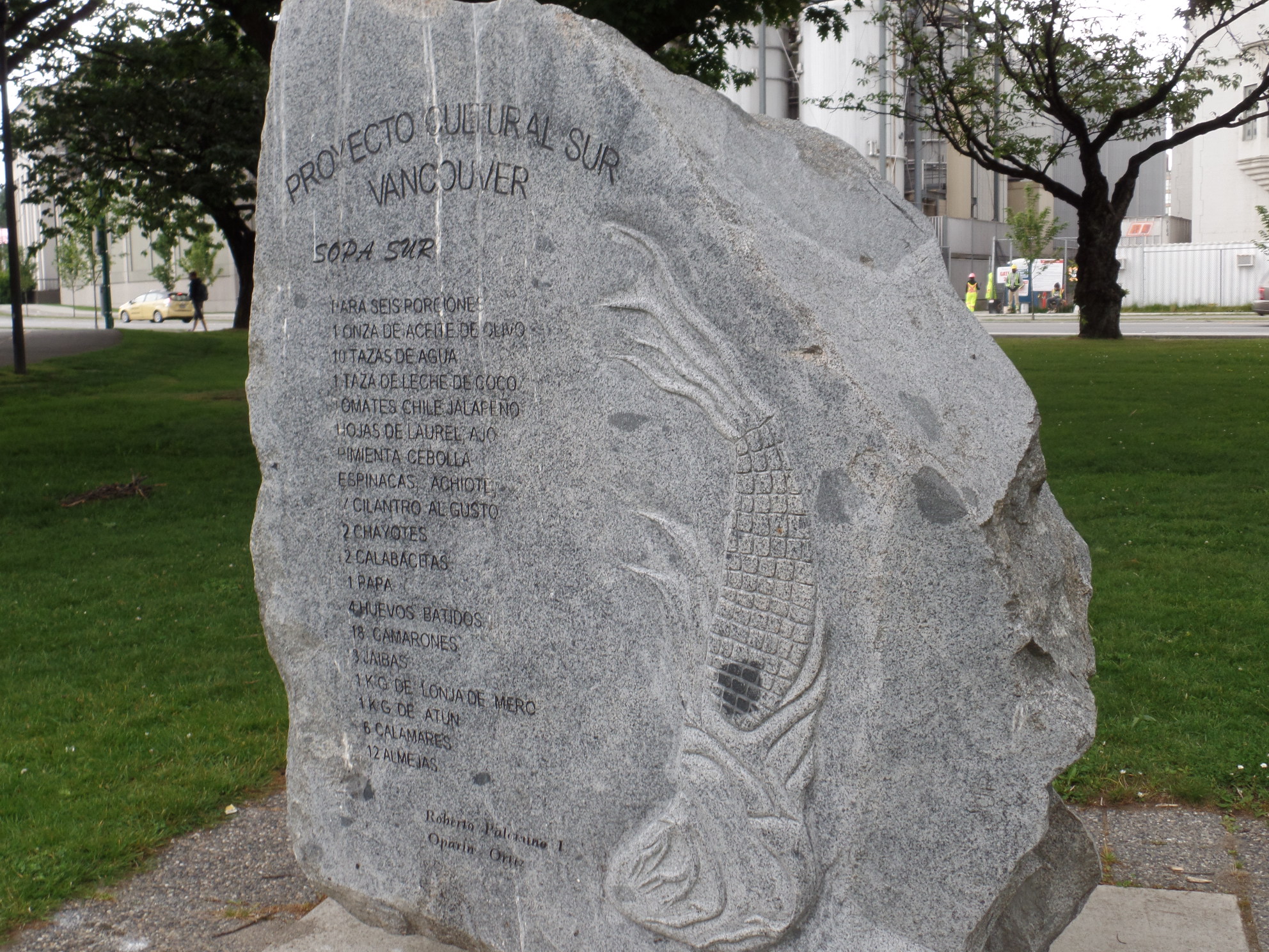
Here, though, is a reach-out to the people of Latin America.
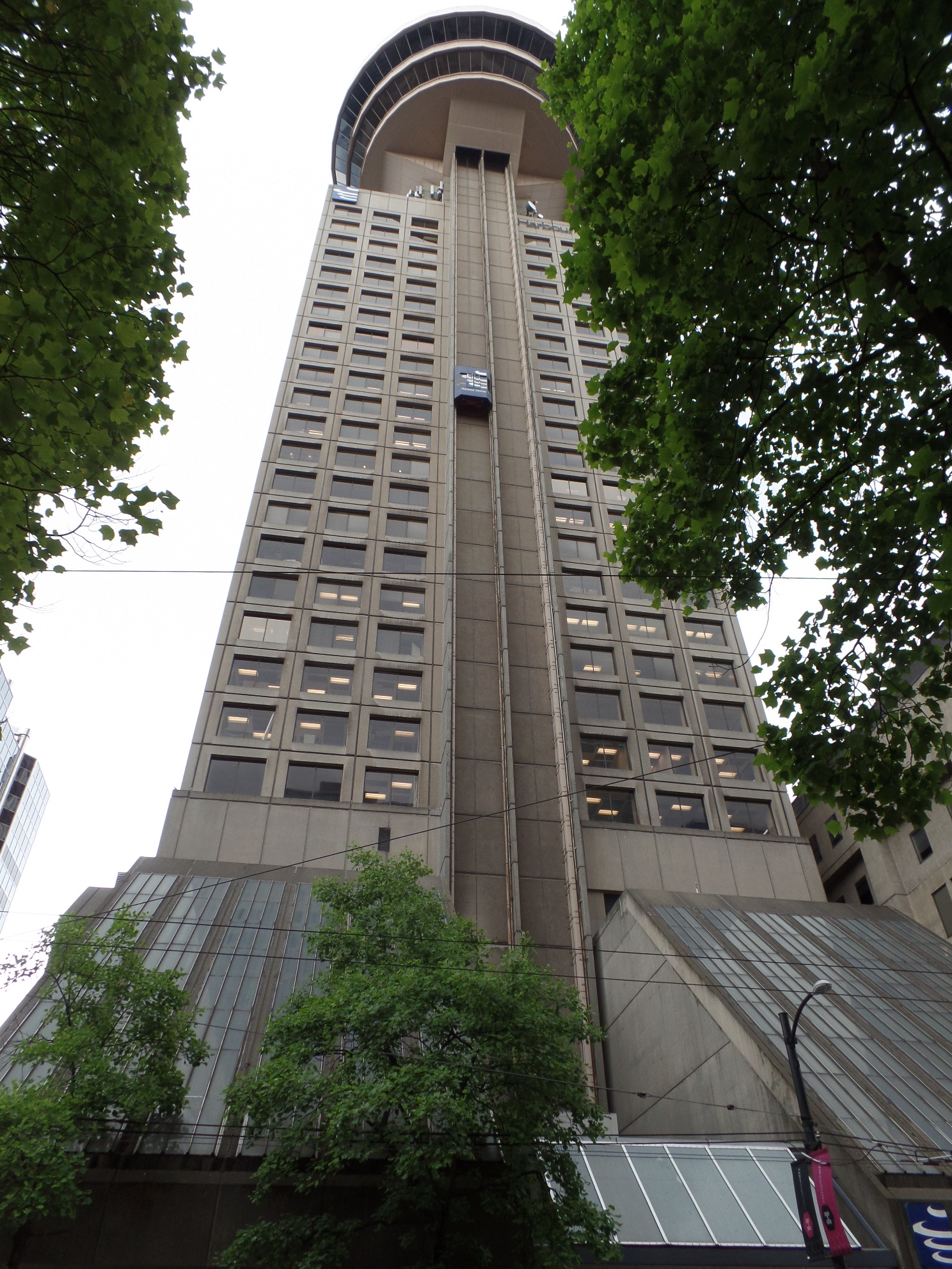
Canada Centre: This grand building defines downtown Vancouver.
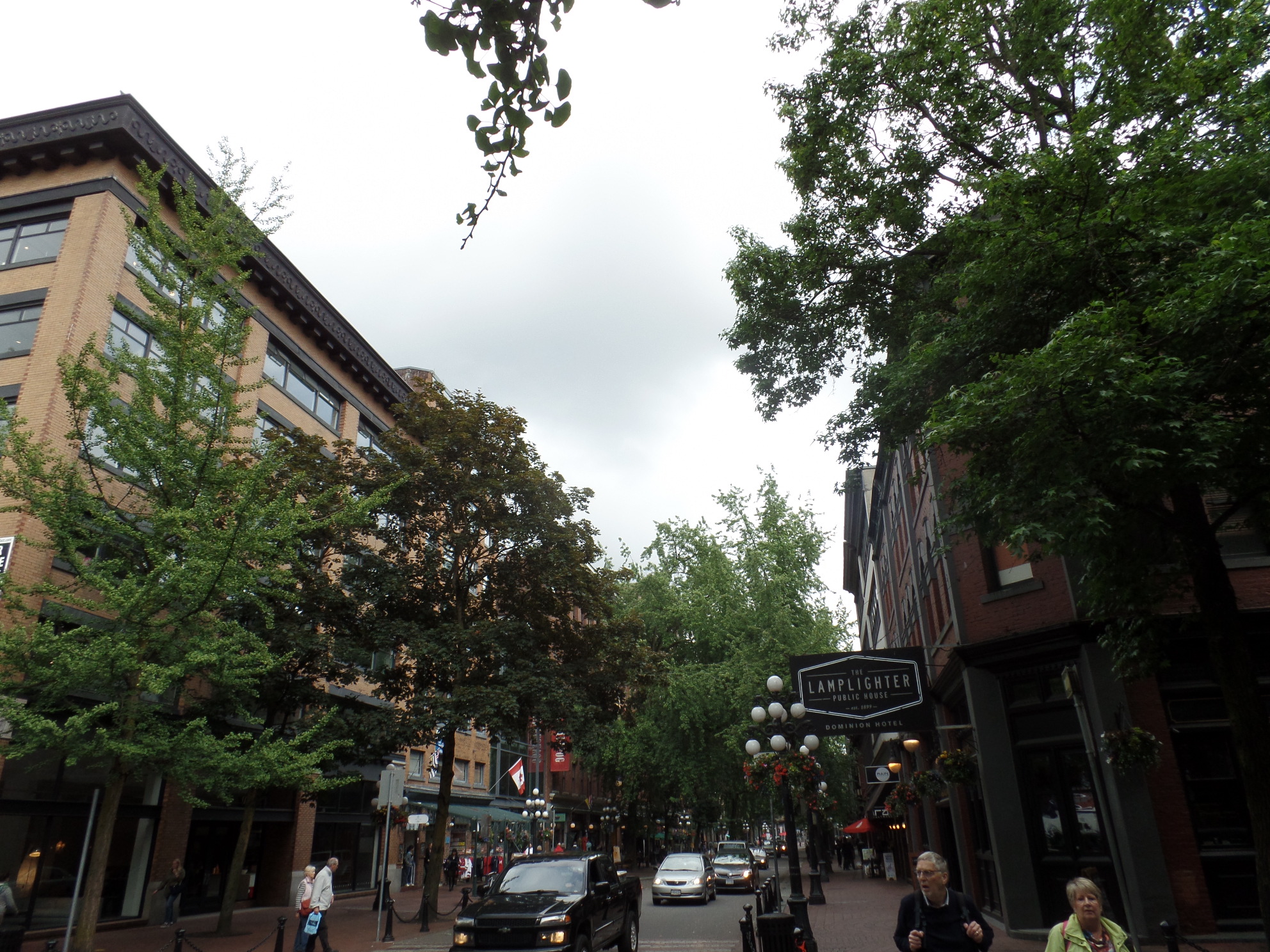
Gastown is a heavily-trod section of downtown; in fact, it is the original European settlement of Vancouver, virtually dating from the arrival of the British.
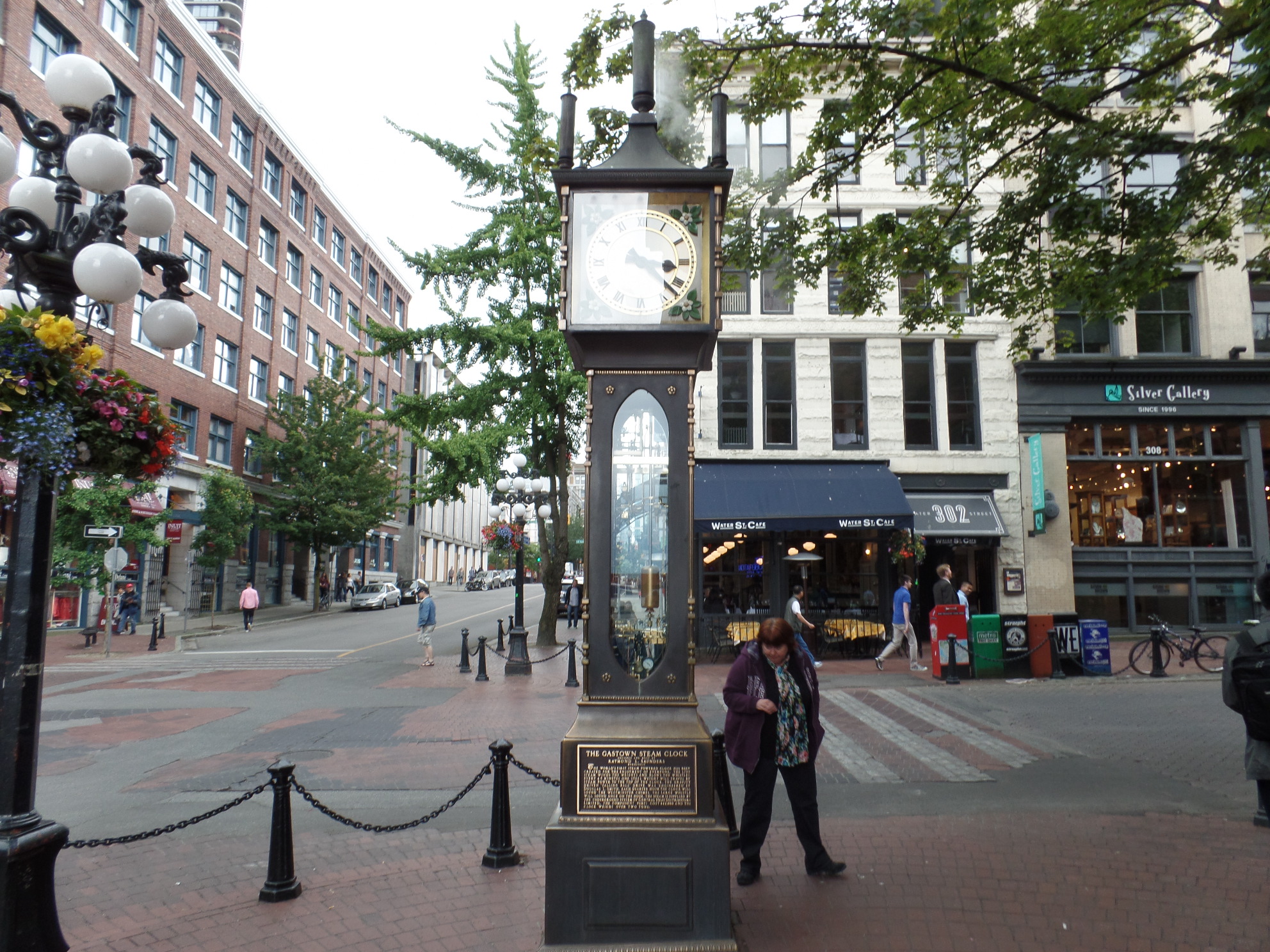
This is the Steam Clock, which has been here almost as long as the British.

This is the Canadian Railway station, on the waterfront.
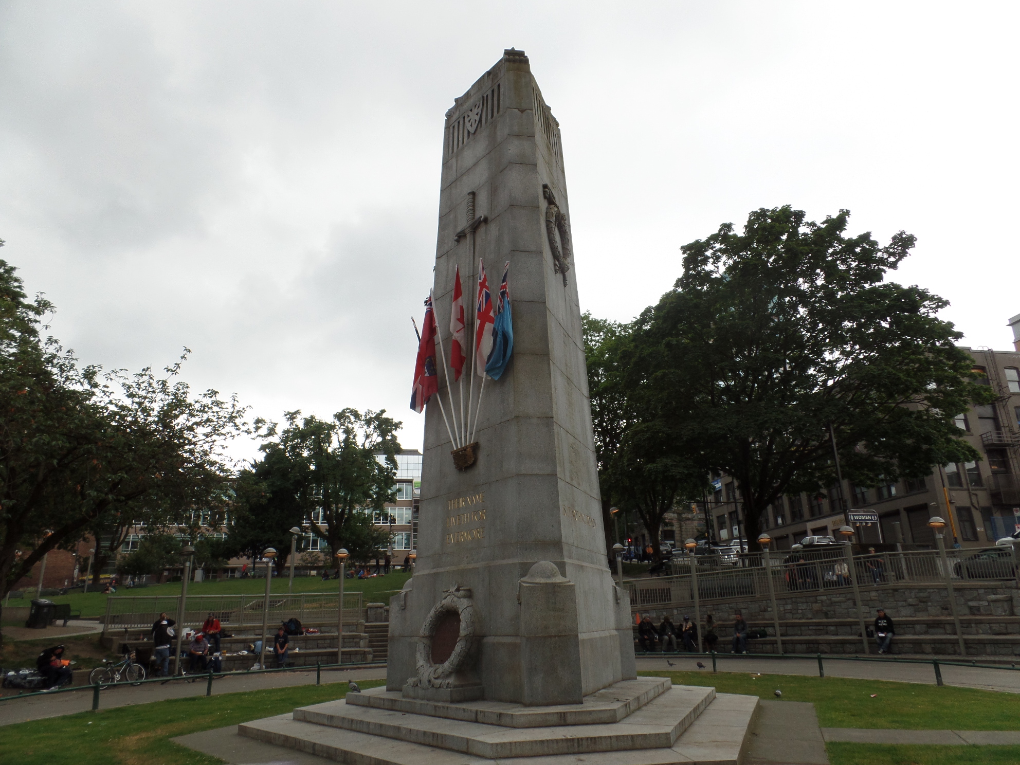
The Cenotaph, in Memorial Park, is the beginning of the East End, and the rougher part of town.
I was cautioned, when first making plans for a Vancouver stay, that the East End was not a place in which I would want to spend a night. After walking the area a bit, I can see why one would draw that conclusion. Most of the hotels in that section of East Hastings Street look a tad ragged, primarily residential. I’ve seen similar establishments in Los Angeles, Chicago, London and Paris. The street was alive, though, with people who don’t exactly have it made. I did see a lot of animated behaviour and many seemed to know one another quite well. I kept coming across an older man in a blue pinstriped shirt, walking his dog. He and I were each offered marijuana, by a top-hatted young man who was pretending to sell men’s suits. The dog-walker looked thoroughly shocked. I was non-plussed, and definitely not interested. I didn’t take any photos, as no one is to be treated as a curiosity.
A gratifying element is the Urban Garden, on the south side of the street.

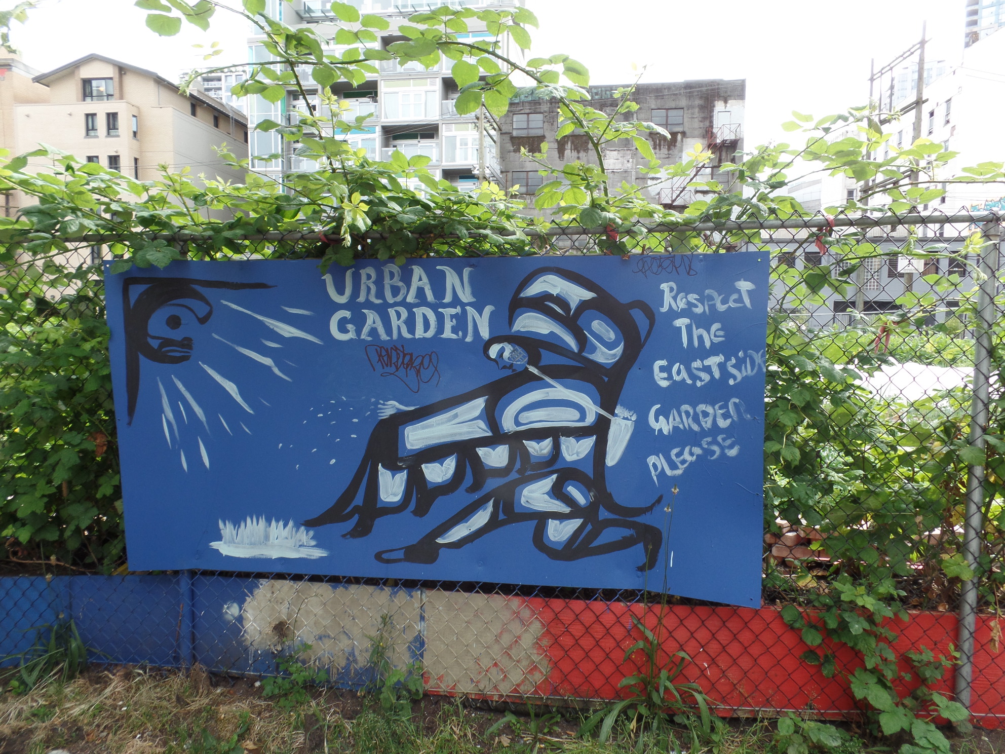
My sentiments exactly. More power to them.
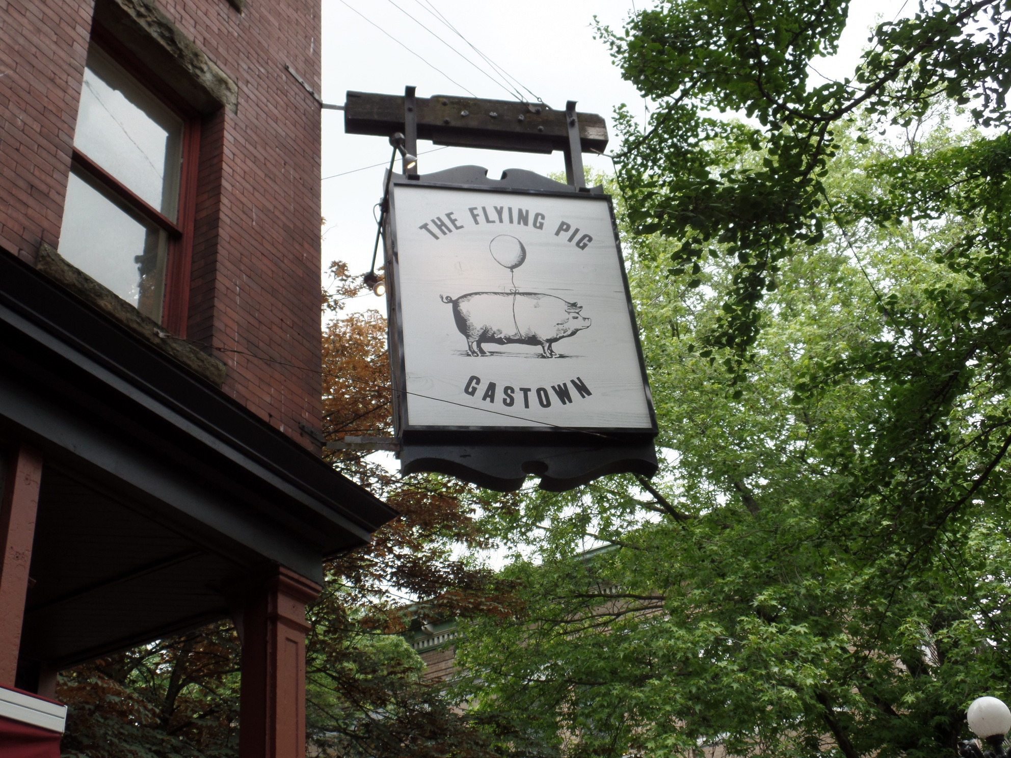
Back in Gastown, I was reminded of when people said I would drive to Canada, when……
Here is one last scene from the original settlement of Vancouver.
It somewhat reminds me of Yonge Street, Toronto.
In the next post, Stanley Park, and the west waterfront, will show the natural side of Vancouver.