June 15, 2019, Gallup-
The fine thing about a diverse landscape such as that of the Navajo Nation is that one can experience five forms of weather, as well as of scenery, in the span of thirty minutes.
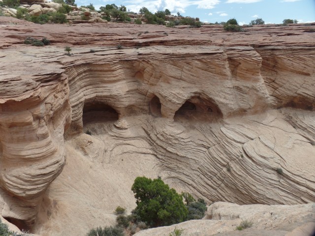
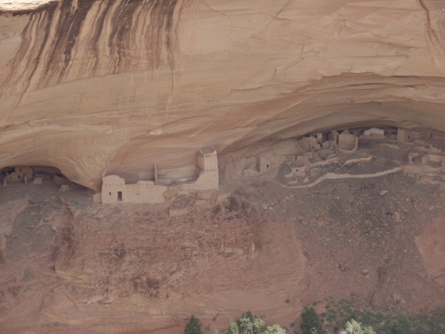
I left Canyon de Chelly around noon, heading for the small college town of Tsaile. This is the site of the main campus of Dine College, the Dineh’s highest resident institution of learning. It offers eight Baccalaureate programs and is led by Dr. Charles Roessel, a member of one of the area’s most distinguished educational families.
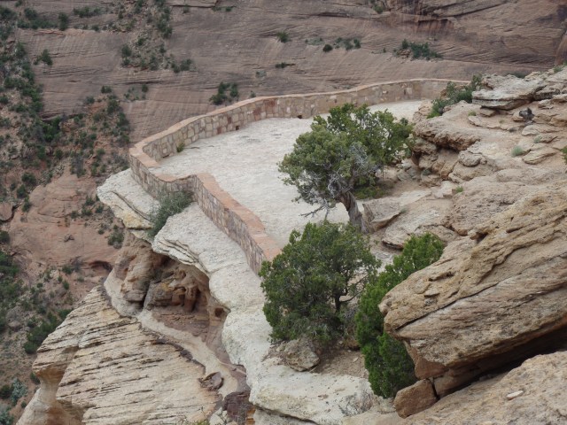
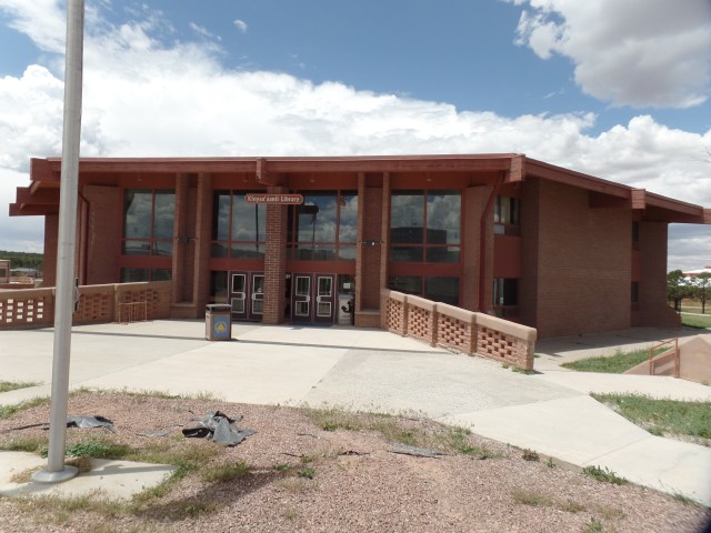
The place today, though, was the realm of crickets. Being a Saturday, in summer session, everyone except a lone security guard seemed to be elsewhere. Here are a couple of scenes of that splendid silence. First, the Library.
The centerpiece sculpture is of life-sustaining maize.

There are two mountain ranges in this part of the Dineh Nation. Here is a view of the Lukachukai Range.

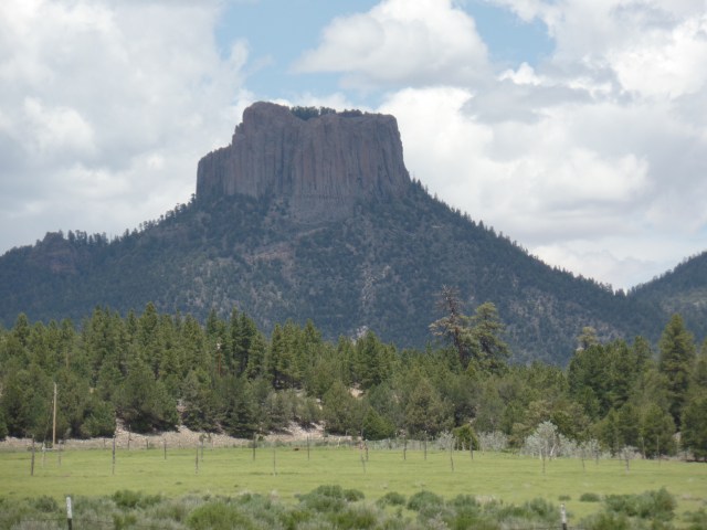
As I left Tsaile, the road led to its sister village: Wheatfields. The two share a single Chapter, in terms of jurisdiction. Wheatfields is home to one of the Navajo Nation’s most popular recreation sites: Wheatfields Lake. Along the way, there are the buttes and peaks of the southern flank of the Lukachukai Range and the norther flank of the Chuskas. Below, is a view of Tsaile Butte.
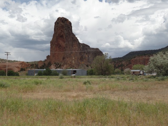
Not far to the south is Red Butte.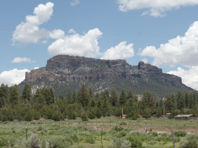
Here is a view of Wheatfields Lake. It was crowded with fisherfolk and water’s edge vacationers. Unseen here, a storm front was approaching from the west.

The road next led through a small sliver of New Mexico. The two Chapters, Crystal and Red Mesa, were significant to Penny and me, as a vibrant and forward-looking family of Baha’is had branches in each community, in the 1980’s and ’90’s. I fondly remember the Coes, their bread truck office and its early-model Word Processor; then, there were their elders, the Belshaws, with a wealth of natural foods knowledge and holistic health tips.
Here is Red Mesa, near the village of Navajo, NM (Red Mesa Chapter).
The Treasure Road (my term) comes to an end in Window Rock, the administrative seat of the Navajo Nation. A serene park encompasses the town’s namesake.
Here are some views of this unique red sandstone promontory, with its signatory arch.


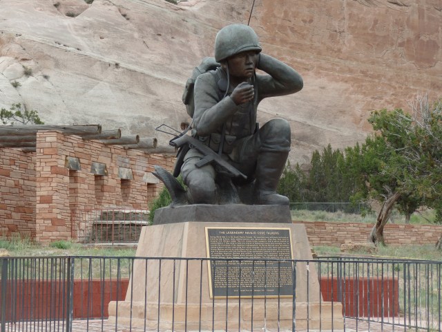
The park also feature a memorial to the Navajo Code Talkers, whose service during World War II was instrumental in the U. S. defeat of the Japanese Imperial Forces. The Navajo contingent was the largest of several groups of Native American teams, who used their languages to convey information in a way that would not be decipherable by the enemy. There are five living Navajo Code Talkers, as of this writing.
With this, I headed to Native American Baha’i Institute, briefly saying a round of prayers and careful not to disturb several work projects, then headed here, to this bustling community that lies in the midst of the Navajo Nation. It was time to sleep, at the Lariat Motel.
NEXT: A Checkered Father’s Day