Back to the Border, and to Bull Pasture, Part I: Lukeville and Ajo

2

March 14, 2024- Traffic was bustling, at the Lukeville/Sonoyta Crossing. The place had been closed, a few months ago, with the Federal government bemoaning lack of resources to handle a surge in migrants trying to cross into the United States. It turned out this was mainly a processing issue, and the Arizona National Guard was dispatched to help with ancillary duties, so that the Border Patrol agents could focus on clearing up the processing of those who were seeking asylum, from any one of two dozen countries, and returning those not qualifying for refuge, to Mexico, or to their countries of origin.

The United States/Mexico border, at Lukeville/Sonoyta.

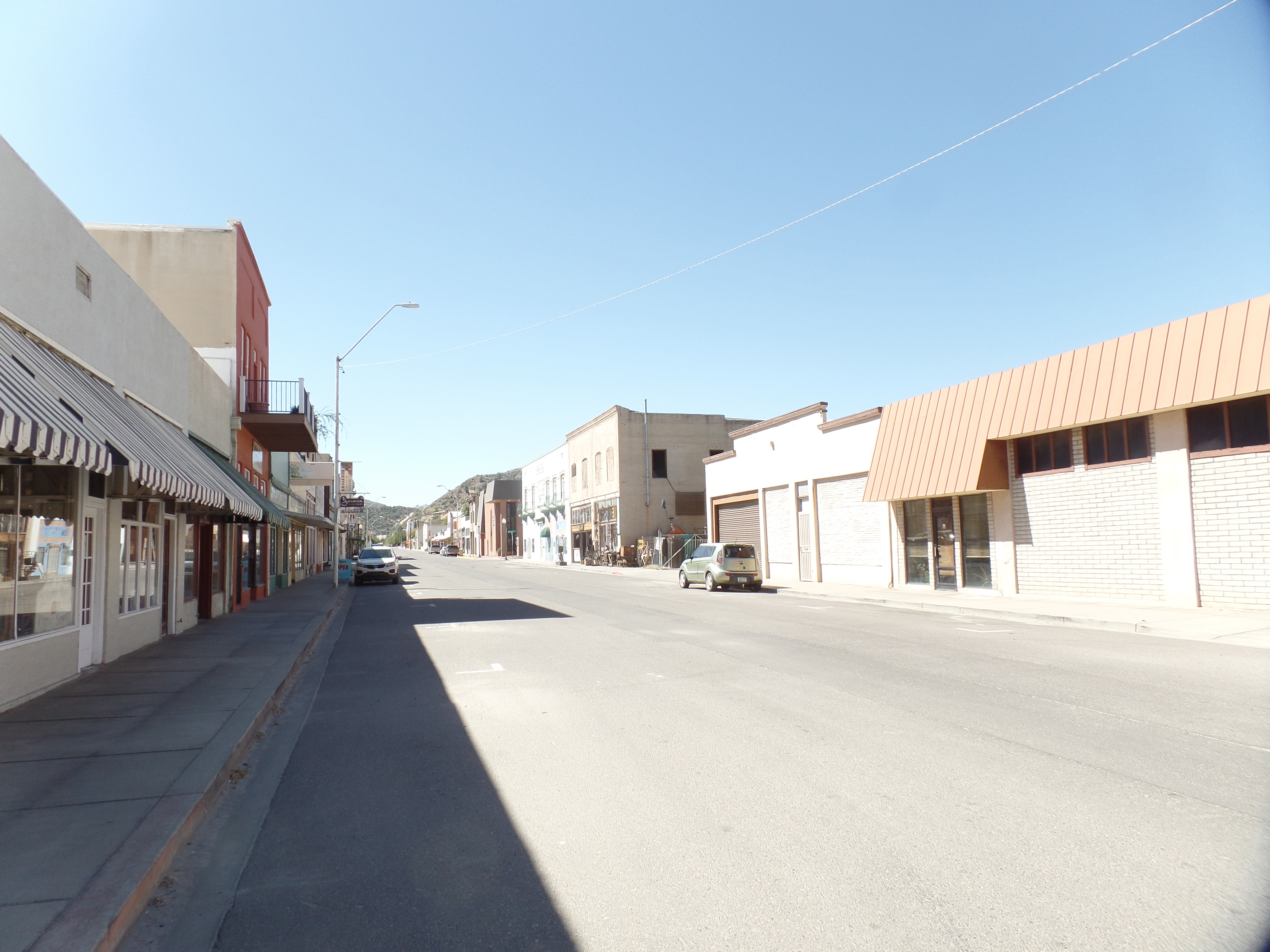
Lukeville had plenty of traffic, going both ways, but the restaurant was closed and the gas station convenience market’s shelves were half empty. I saw little evidence of the crisis of the past few months, other than an active Border Patrol work station, on South Puerto Blanco Drive, that had a few tents set up-either for detained migrants or for agents to get out of the sun. It is likely that they are used for a little of both. These events come in waves, though, so unless Congress and the President can reach an understanding, soon, it is likely to be a long summer of ebbs and flows of both desperate and opportunistic people trying to enter the U.S.

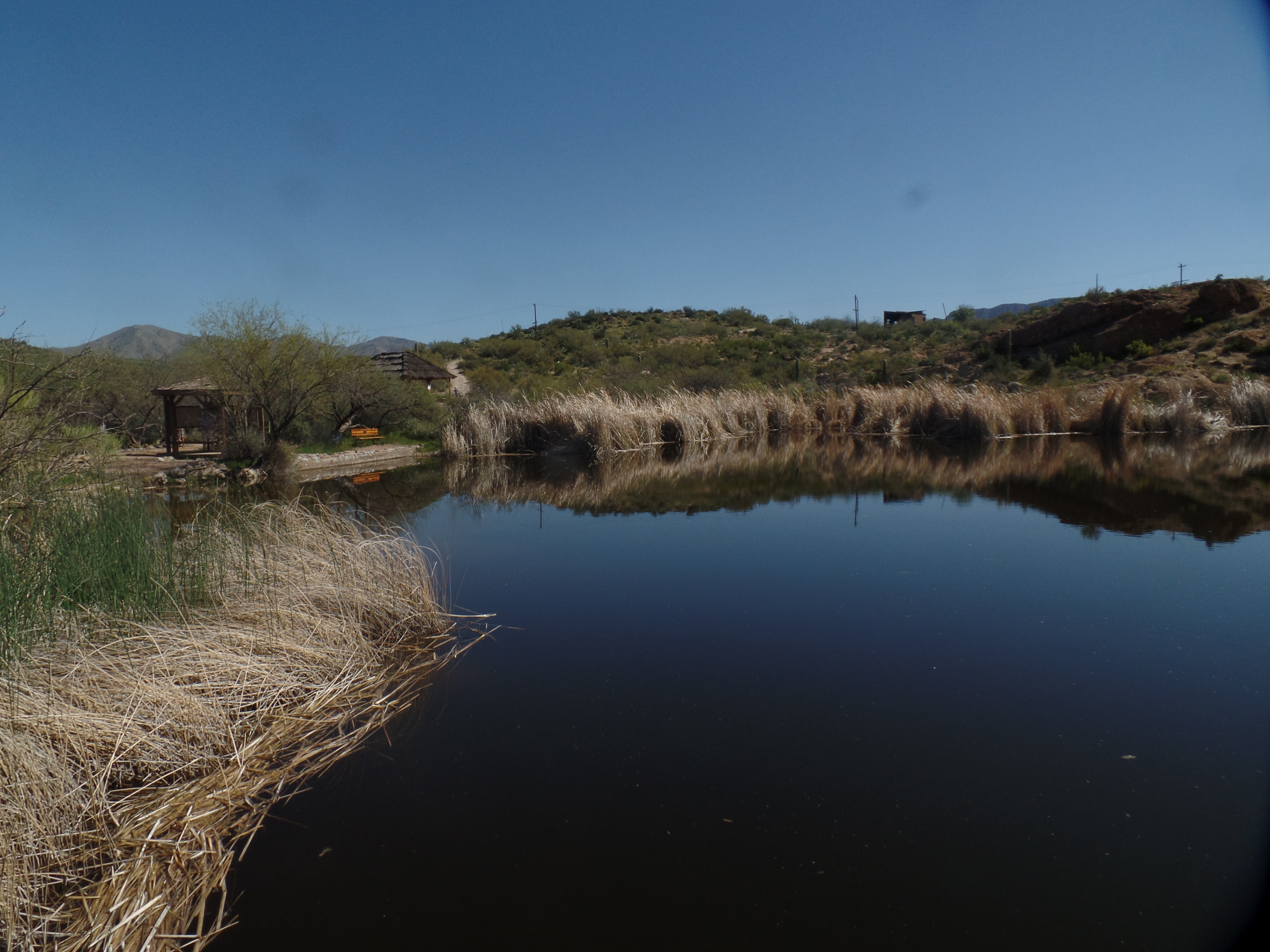
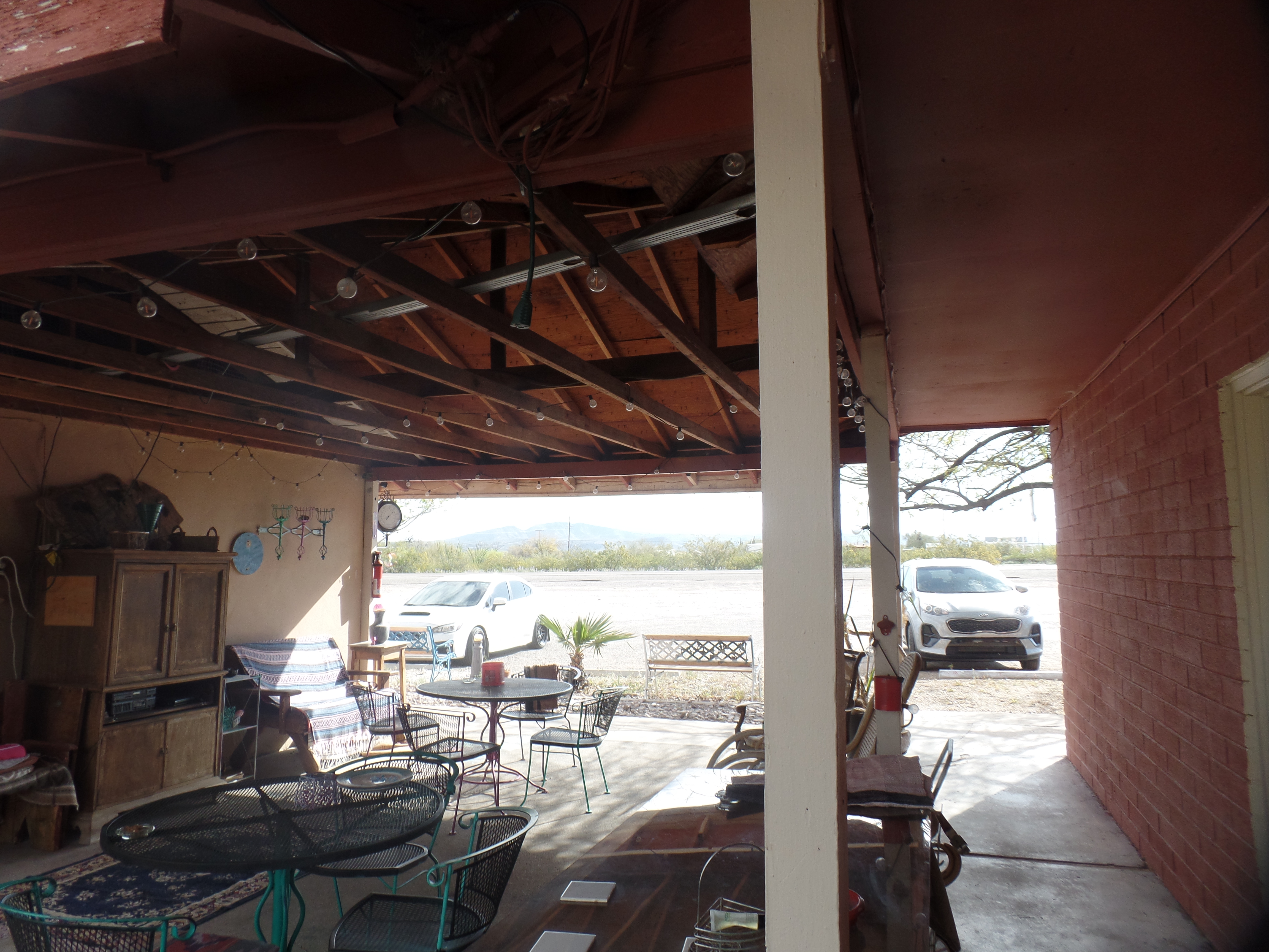
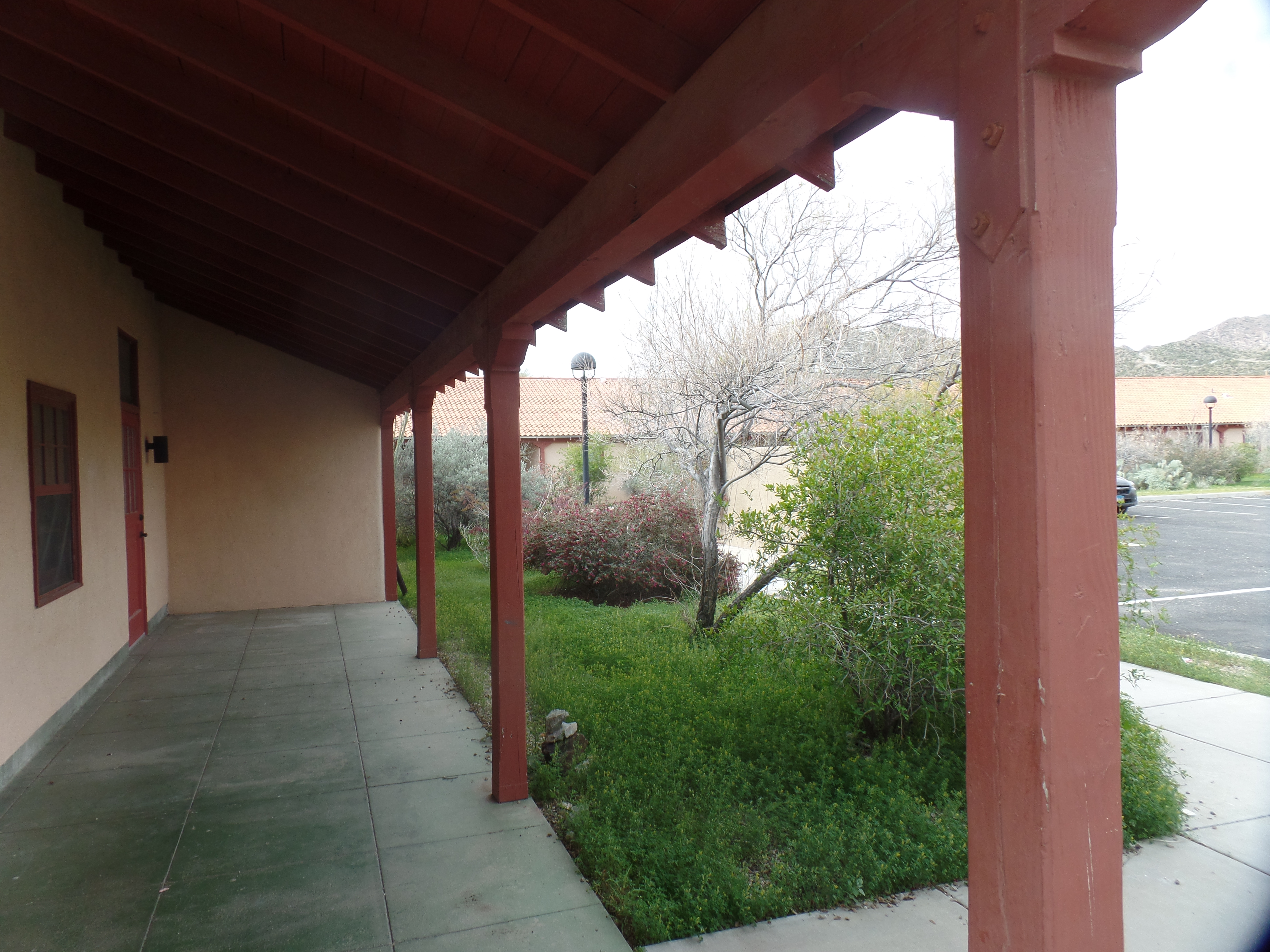
Before all this, and my return to Quitobaquito and Bull Pasture-both within Organ Pipe National Monument (Lukeville also lies within the Monument), I took some time to look around Ajo. Morning’s light, at Copper Sands Motel, revealed this courtyard.

Relaxing spots, at Copper Sands Motel, Ajo (above and below)

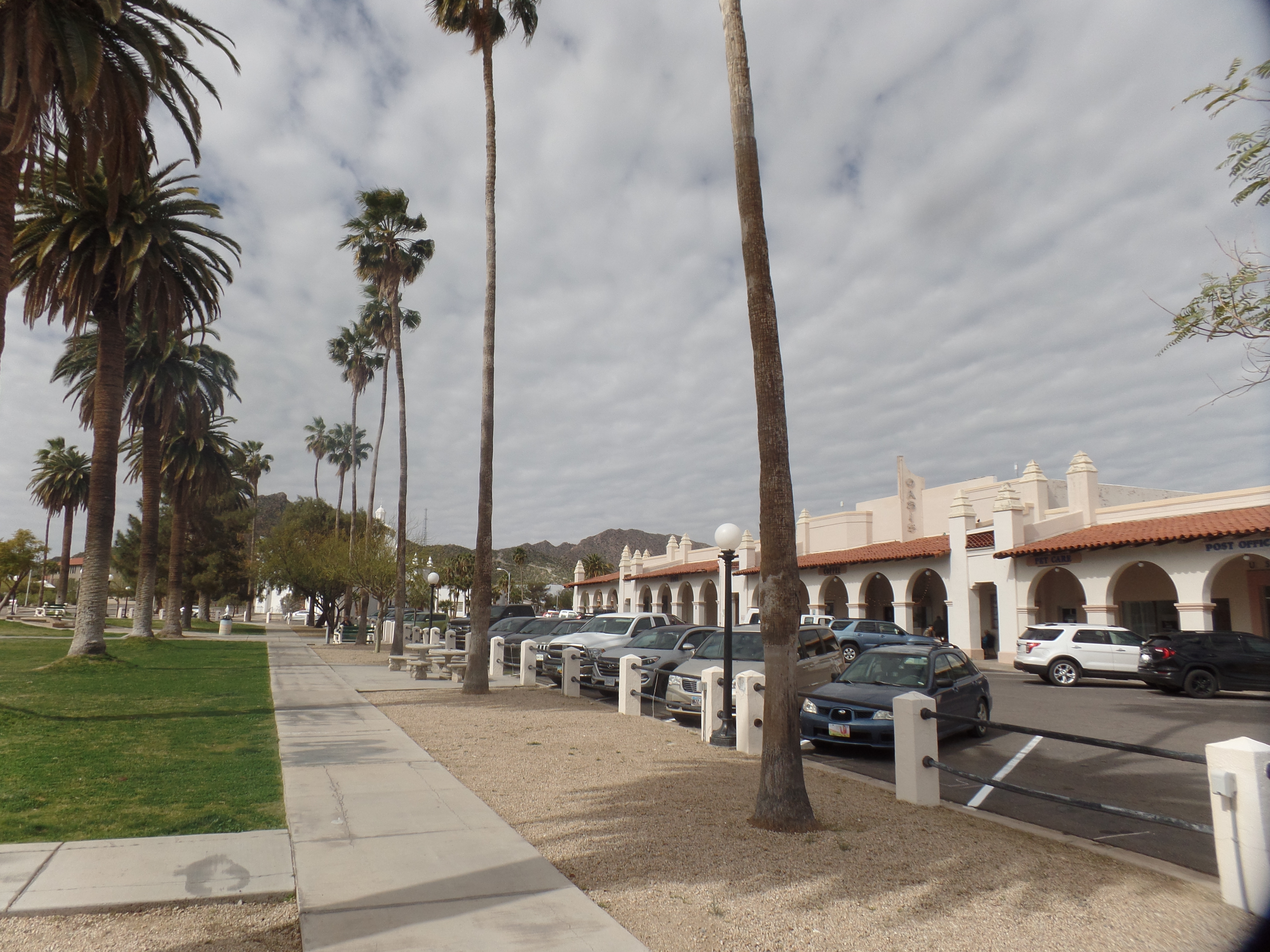
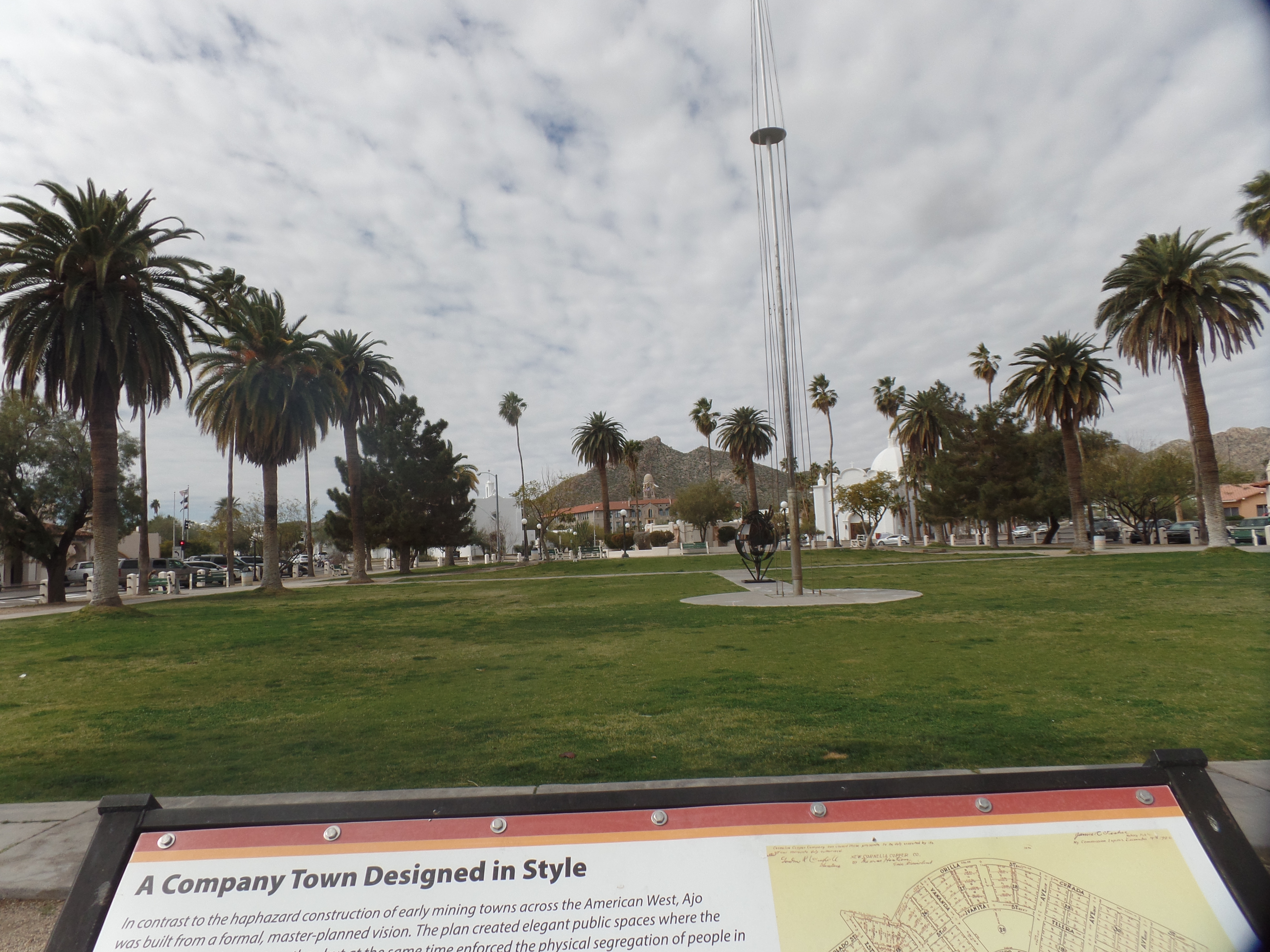
In town, there are two stand-out areas of note: The Plaza, and Curley School. Both were built in the 1920s, when Phelps-Dodge Corporation began to realize the peak operation of its copper mines in the area. Curley School is named for the company’s regional manager: Michael Curley. Ajo Plaza, in the style of a Spanish community gathering place, was the one area where the three otherwise segregated ethnicities, Anglo, Mexican and Tohono O’Odham, could mix freely. Today, of course, there is no segregation. I saw people of all racial groups here, as elsewhere in the country-and in each case, they were working in responsible positions.

Here are two views of Ajo Plaza, where several people were gathered, to relax over coffee and tea, or to discuss business.

East side of Ajo Plaza
North side, Ajo Plaza
Ajo Plaza’s Greenspace

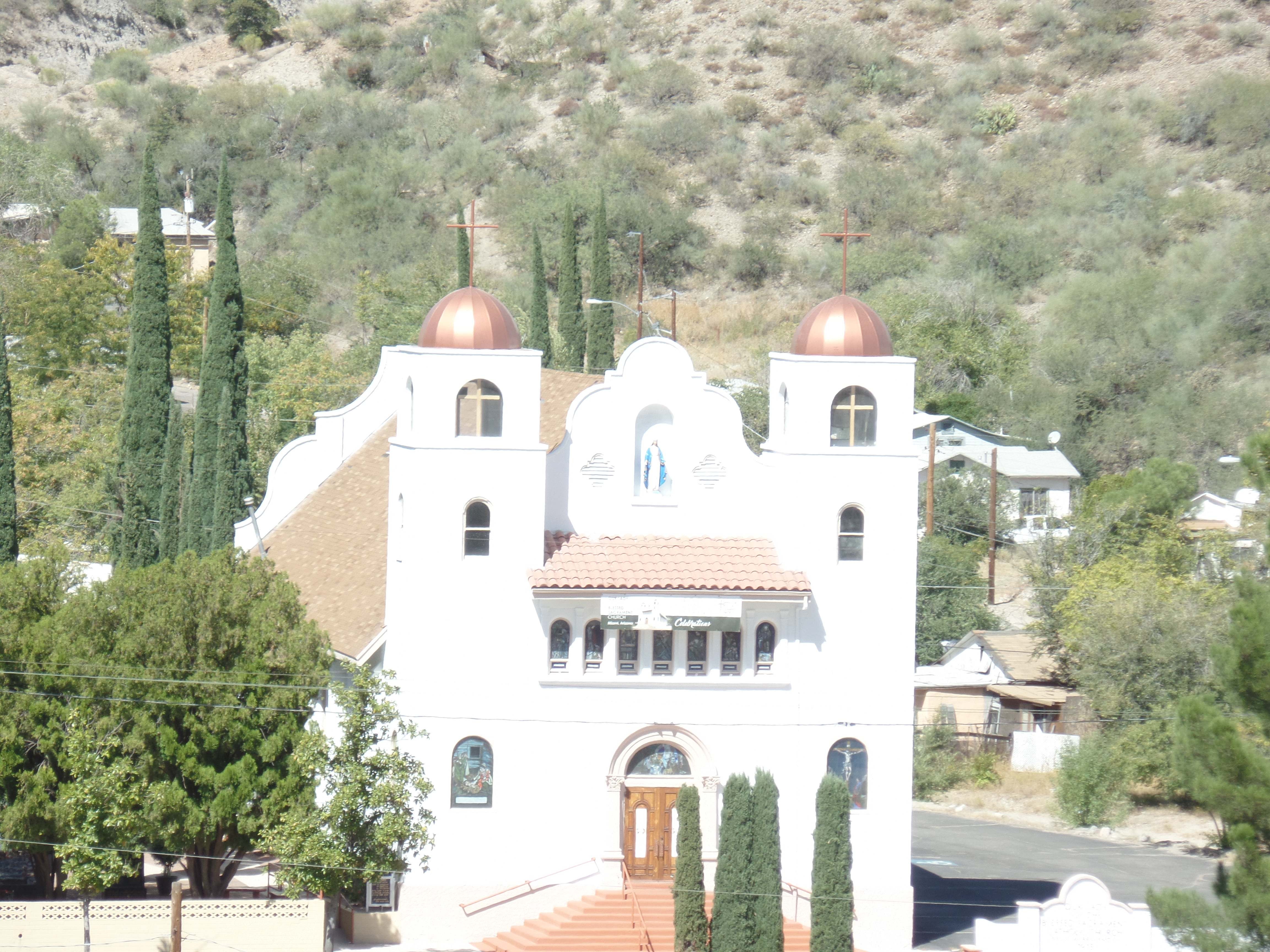
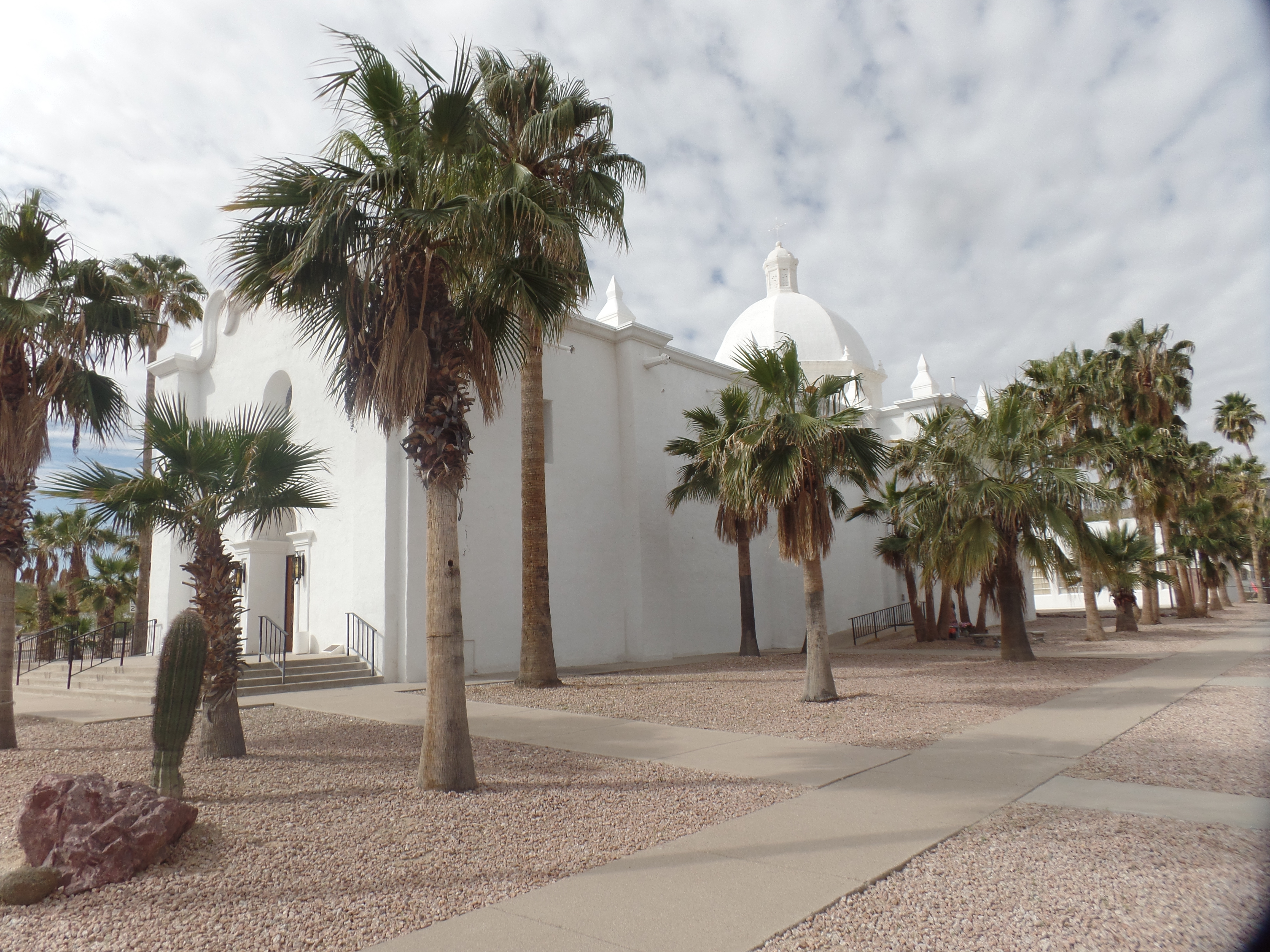
Across from the Plaza is Immaculate Conception Catholic Church, also a marvel in white.

Immaculate Conception, from the east side.

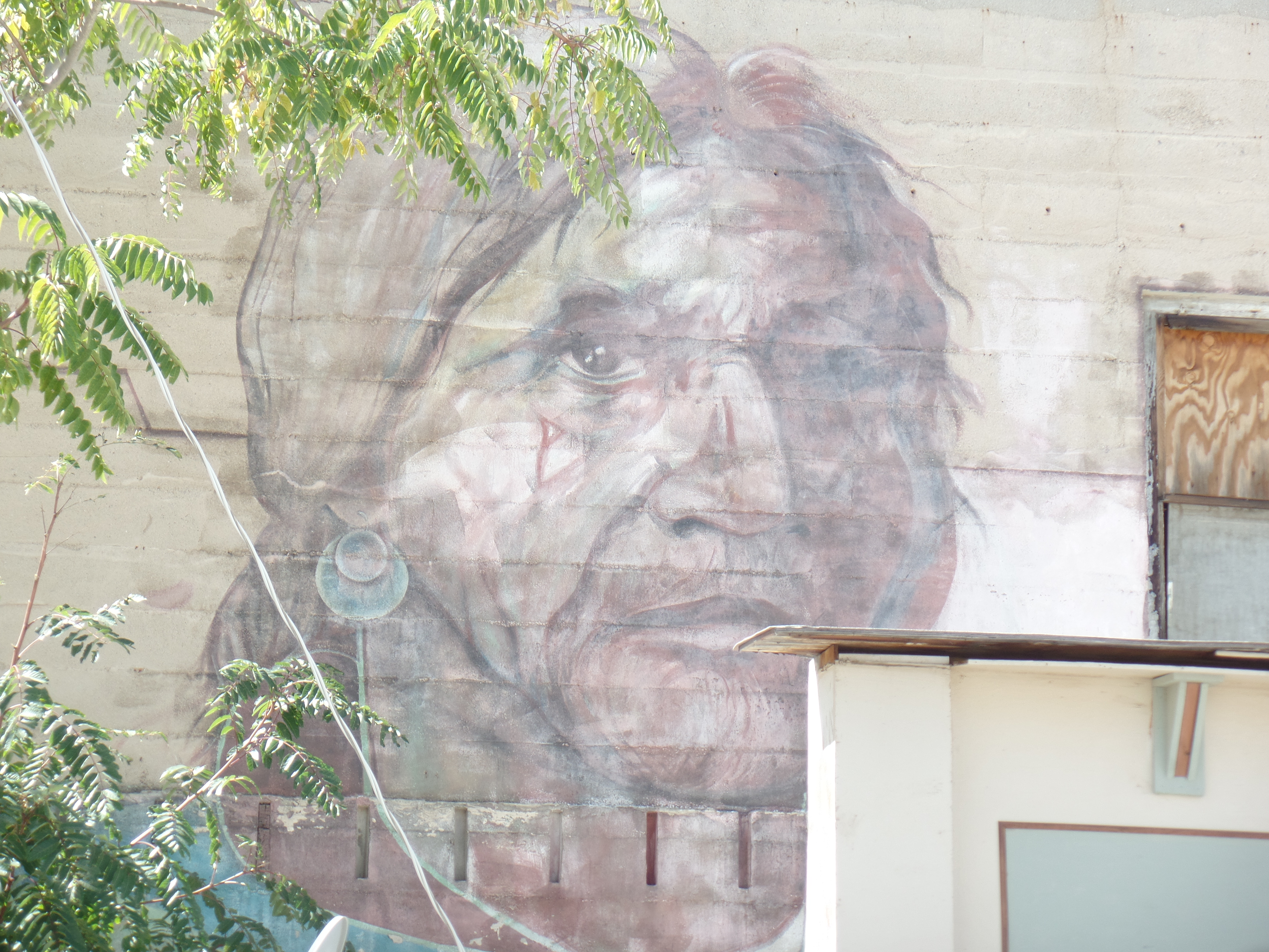
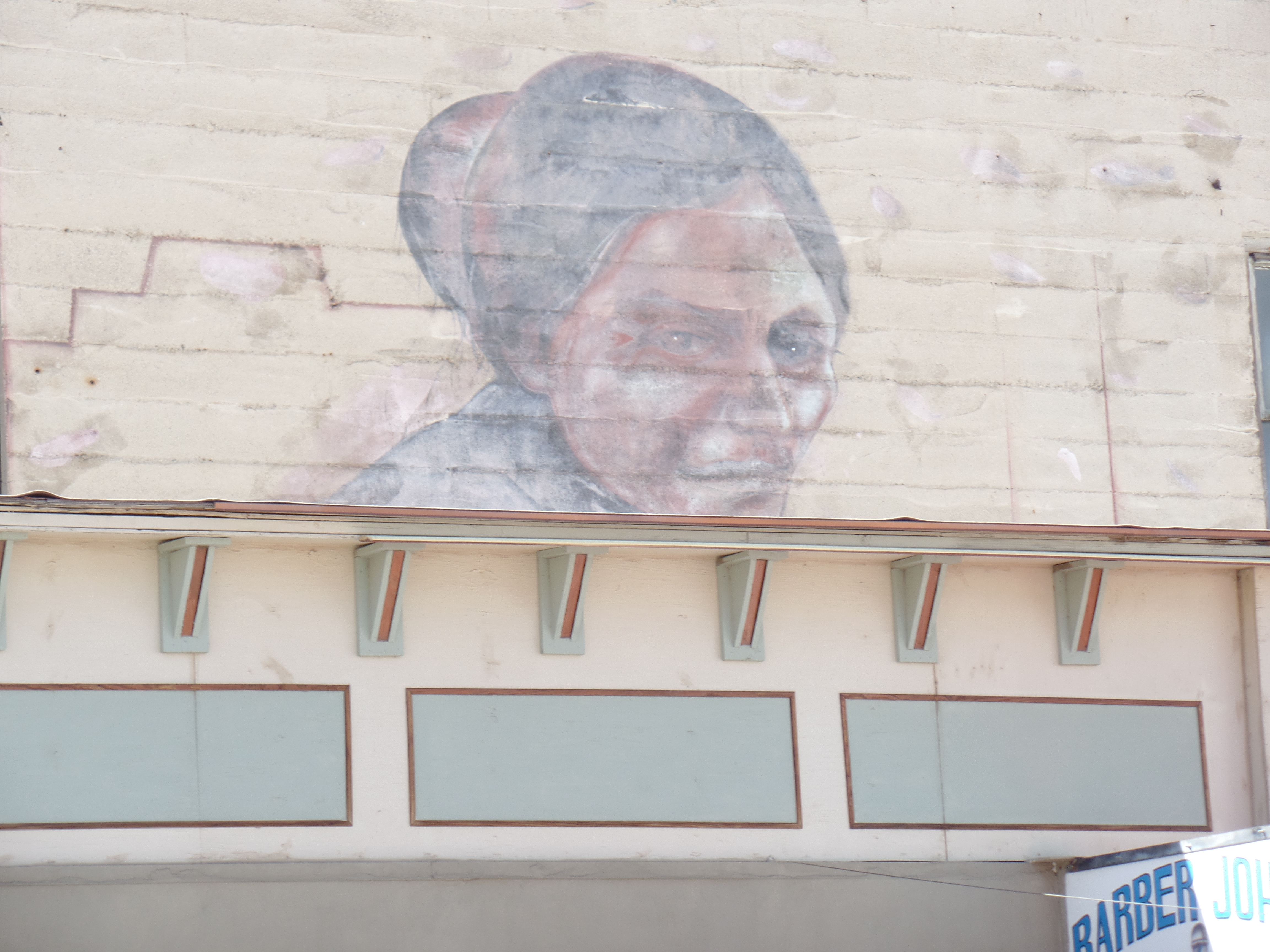
Curley School educated all Ajo area students, from 1919-1997. When it was found to be in disrepair, a group of Ajo residents, working with the University of Arizona, developed a renovation plan, and the facility, consisting of nine buildings was refitted as artisan apartments and up-to-date classrooms, for the practice and study of the Fine Arts. Here are three views of the facility.

Main Building, Curley School, Ajo
Inner Classrooms, Curley School, Ajo
Standing Duck Cairn, Curley School, Ajo

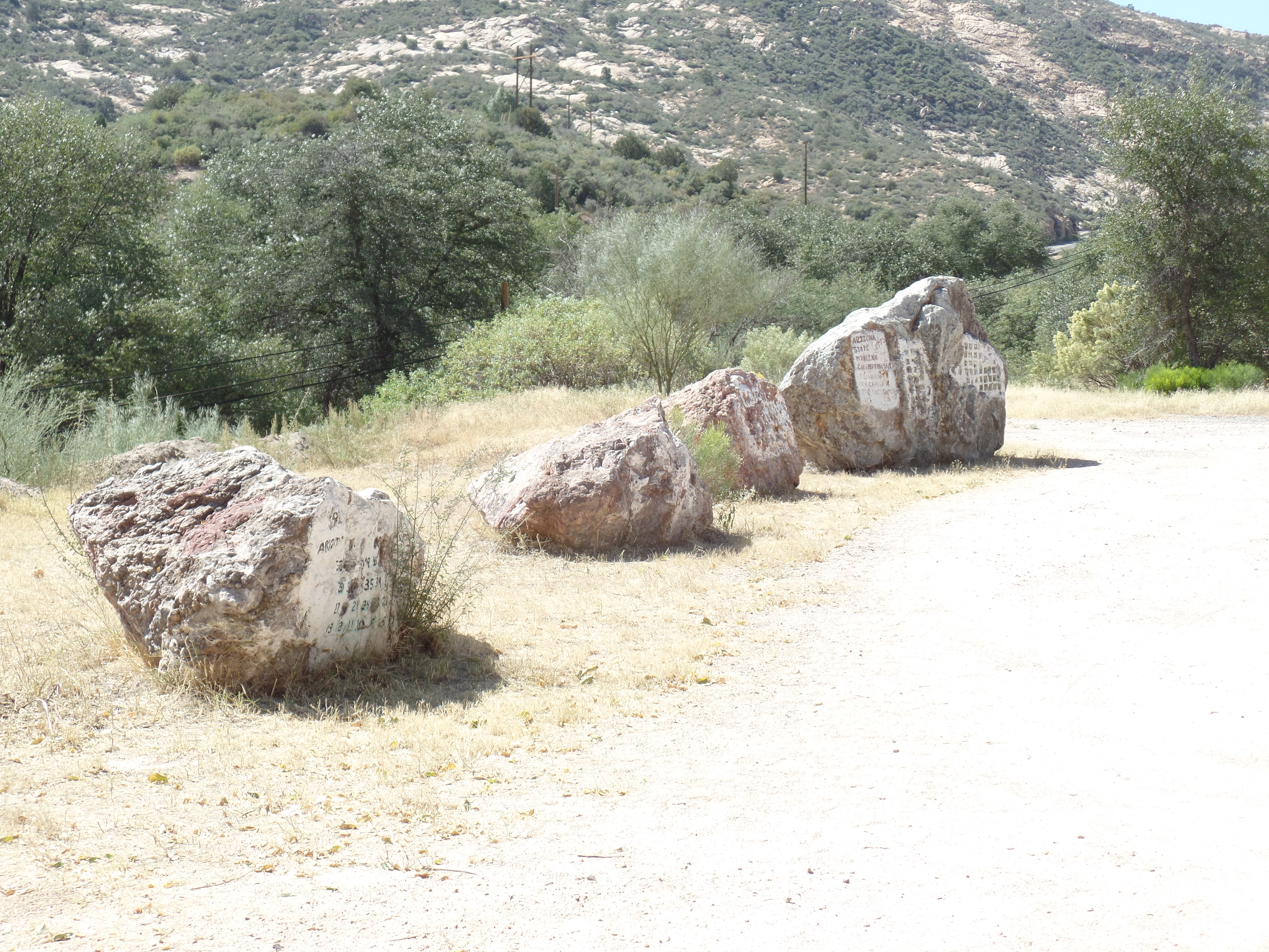
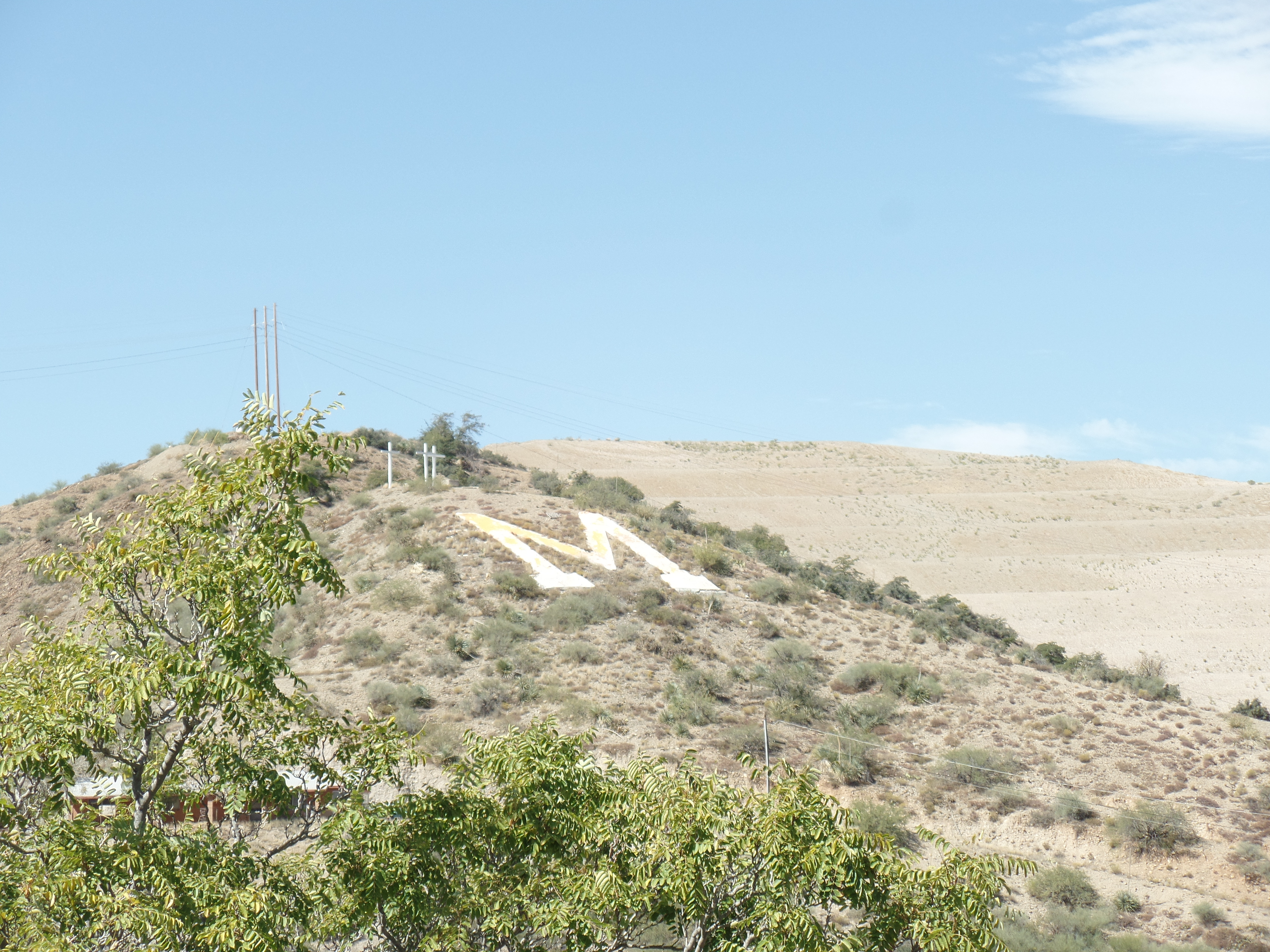
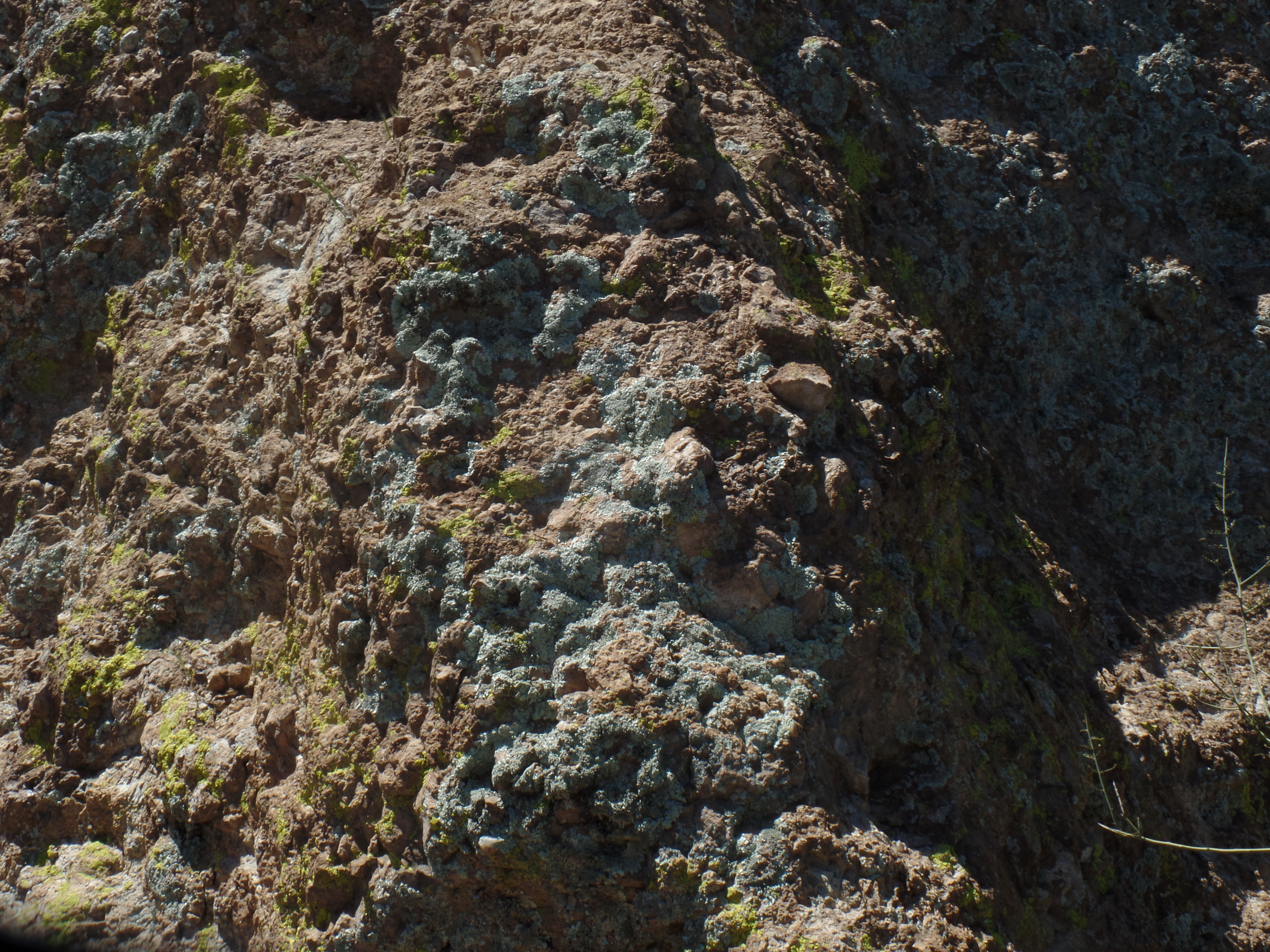
As with all such operations, the New Cornelia Open Copper Mine ran out of its product, and has left tailings in its wake.

Tailings from New Cornelia Mine, east side of Arizona Highway 85, south of Ajo.

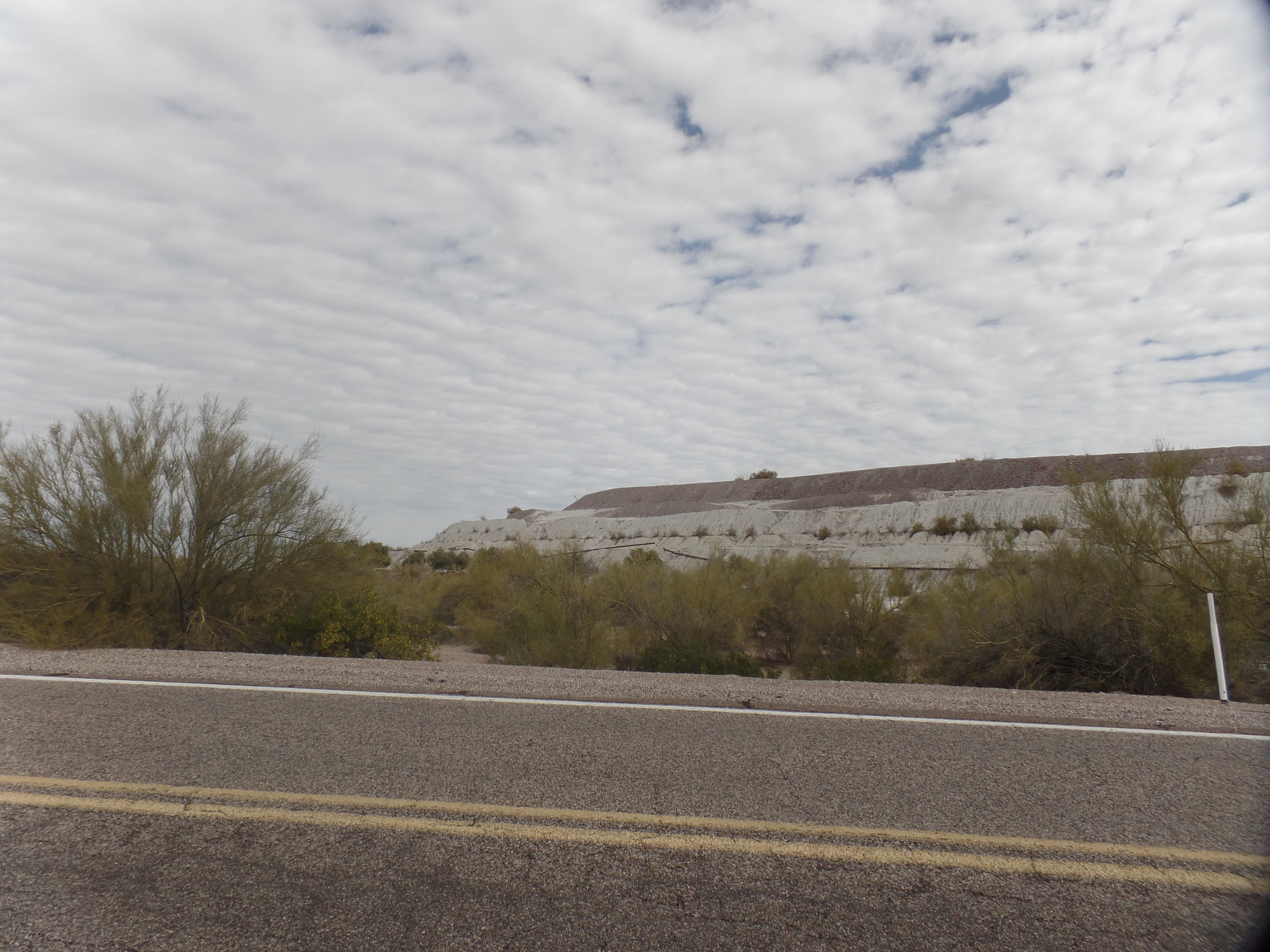
Hopefully, the area can be cleaned up and restored as a natural area, useful to both people and wildlife. The same ingenuity that saved Curley School would be beneficial here.

NEXT: A return to Quitobaquito and Bull Pasture

Arizona’s Miami

6

October 11, 2017, Globe, AZ-

This old copper-mining community, near and in competition with, a town called Miami (pronounced my-AM-uh), was, in times long gone, a gathering place for foragers and for farmers.

I spent a fair amount of time in each town, today.  Starting at a small chapel in a canyon called Bloody Tanks, where a former professor of mine was born, some eighty years ago, I noted the fervour of the copper miners of Miami.  This chapel, dedicated to St. Mary, has the full protection of the townspeople, regardless of their individual faiths.SAMSUNG CAMERA PICTURES

Bloody Tanks has an interesting tributary of the Gila River, which itself figures prominently in my planned stops of the next day or so.  It’s dry here, as the big river is, around these parts.

SAMSUNG CAMERA PICTURES

SAMSUNG CAMERA PICTURES

Miami was very quiet in midweek.  It seems the majority of the town’s business, these days, is conducted along Highway 60, which runs clear across the Southwest.  Miami’s downtown, what there is of it, is largely a series of antique shops.  It would be a nice place to rejuvenate, but I prefer to see that revival run by locals- as is happening in Superior and Globe, on either side of the Cobre Valley.

A revival sparked by the Apache spirit would be a fine one.

SAMSUNG CAMERA PICTURES

SAMSUNG CAMERA PICTURES

The “can-do” spirit of people like Manuel Mendoza also does this town proud.  There are many who have carried on, based on his example.

SAMSUNG CAMERA PICTURES

SAMSUNG CAMERA PICTURES

SAMSUNG CAMERA PICTURES

After looking around downtown, I took a ride along the hill to the south of town.

SAMSUNG CAMERA PICTURES

From the south, one gets a good view of Miami’s extant copper mine,

SAMSUNG CAMERA PICTURES

as well as of ‘M” Mountain.

SAMSUNG CAMERA PICTURES

Our Lady of the Blessed Sacrament is the town’s most prominent church, highly visible from the south ridge.

SAMSUNG CAMERA PICTURES

Miami’s hills will, no doubt, draw me for further exploration.  It was time, though, to head on over to Globe’s tribute to its indigenous past:  Besh Ba Gowah.


Sixty-Six for Sixty Six, Part XVIII: Queen Creek, as A Moat

0

March 14, 2017, Superior- After an intensive review of the desert plants, with which I have become so well familiar, thanks to both Boyce Thompson Arboretum and its sister institution, Desert Botanical Garden, I headed up along the High Trail, to have a look at Picket Post House’s exterior (the house doesn’t re-open for visits, until either next year or 2019), and  Ayer Lake, a small reservoir that was drawn from Queen Creek, for the purpose of attracting water fowl and aquatic reptiles.

High Trail goes between  Ayer Lake and Picket Post House, then loops around to the west and south, along the eastern base of Picket Post Mountain.  The first twenty minutes of my hike, on this relatively easy trail, found me in a wealth of company- it being Spring Break for Arizona schools.  There were birders galore, at  Ayer Lake, teen girls with selfie sticks, on the rocks above the reservoir and adventurous boys, who followed me in exploring a couple of ledges, overlooking a western spur of Queen Creek Gorge.  The parents of the kids were close by, enjoying the relative comfort of the thatched-roof ramada.

Here are further scenes of this very full visit.   Ayer Lake, rather still on this mild day, has at least one resident turtle, and several Black Phoebes, enjoying the cold water.

SAMSUNG CAMERA PICTURES

I saw a couple Red-tailed hawks circling around, as well.  They are said to nest in the rhyolite boulders, which abound in this park that was built from nature, not imposed on it.

SAMSUNG CAMERA PICTURES

SAMSUNG CAMERA PICTURES

This overlook was most popular with the girls.

SAM_7881.JPG

Of course, it had the best view of the reservoir.

SAMSUNG CAMERA PICTURES

SAMSUNG CAMERA PICTURES

SAMSUNG CAMERA PICTURES

Speckled and striated rhyolite, between lake and mansion, testify to the presence of both copper and iron, in the area.

SAMSUNG CAMERA PICTURES

SAMSUNG CAMERA PICTURES

Picket Post House itself looms just above these boulders, and almost seems protected by the creek and canyon, which loop around its northern and western flanks.

SAMSUNG CAMERA PICTURES

The boys and I saw this hint of the coming spring, from the canyon’s edge.

SAMSUNG CAMERA PICTURES

Here was a sight that caused the boys to turn back from the overlook.

SAMSUNG CAMERA PICTURES

Picket Post House, seen from a southwestern vantage point, shows its retaining wall.

SAMSUNG CAMERA PICTURES

I look forward to seeing the place, in its full magnificence, once it becomes part of the park’s exhibits, a year or two hence.

Next up:  The High Trail’s western course.