The Hana Chronicles: Month 9, Day 5

0

September 26, 2026- Hana continued to practice walking, mostly around the playpen, as our Roborock cleaner was working the floors and carpets. She continues to build on her receptive language, offering a few words of comprehension, or at least doing what her parents ask her to do.

She is now showing mastery of putting a ball in a small chute, putting detachable cloth vegetables and fruits back on a Velcro screen and is starting to put some toys back in their bins. We went to lunch at HMart Food Court, after I had finished my errands. Hana had several pieces of green grape, and ate most of them, while we adults had our lunch. (Hana had eaten at home, an hour earlier.)

HANA’S NOTE- I am not as scared of the Roborock as I used to be. I used to think it was going to eat me up!

EXPANDING CIRCLES: Arizona- It is odd to be thinking of the Grand Canyon State as an expansion goal, but it is for Hana. Much of my life, forty-one years, to be exact, was lived with an Arizona home address, working in an Arizona school or business. Aram’s formative years were spent in Arizona, and it was from there that he entered the Navy. It beckons to us to return someday, but Aram and Yunhee have to make their marks in Texas, first.

The Turf- Arizona is not all desert. There are rugged mountains in the central swath of the state-from Flagstaff in the north to Bisbee and the Coronado National Monument in the south; from Prescott in the west to Greer and Eagar in the east. There are sky islands, like the Hualapai Range, inland from the Colorado River and the three rims of the Grand Canyon. An 800-mile trail runs from the Mexican border to Utah, along the spines of several mountain ranges and through the Grand Canyon.

Low lying desert takes up much of the western third of the state, as well as the region between Tucson and the Mogollon Rim which begins east of Prescott. High desert terrain is found on the Colorado Plateau, along the Little Colorado River, from Page, at the Utah line, to Sanders, near the New Mexico border. The state is drained by the Colorado, Little Colorado, Salt, Gila, and San Pedro Rivers. The Salt and Gila have dry beds for a good portion of their course through the state. This, and the lower flow of the Colorado, are due to both their having been dammed and to the extended period of dryness across the West. Continued growth, especially in the corridor from Scottsdale and Peoria, through Phoenix and south to Sierra Vista, also contributes greatly to the depletion of water.

First Nations- Arizona is the ancestral home of the Yavapai, Hualapai, Havasupai, Kaibab Paiute, Dineh(Navajo),Hopi, Zuni, White Mountain Apache, San Carlos Apache, Tonto Apache, Chiricahua Apache, Akimel O’odham, Tohono O’odham, Maricopa, Cocopah, Mohave, Halchidhoma, Hia C-ed O’odham, Yuman (Quechan), Chemehuevi, San Juan Paiute and Pascua Yaqui peoples.

It was from Arizona that the Navajo people were forced onto the Long Walk, and to Arizona that many returned, in 1868. It was in southeast Arizona that the Chiricahua Apache, led first by Cochise, then by Geronimo, resisted both the Mexican and American authorities for several decades. It was to Arizona that the Tewa people fled from the Spanish re-conquest of their Rio Grande homelands, to be welcomed by the Hopi, at First Mesa. It is in Arizona that I feel most at home among First Nations people, especially on the Navajo Nation and in the Hopi villages.

Along those lines, I feel most at home in the Prescott area,, Flagstaff, Polacca, Second Mesa,Tuba City, Red Lake, Burntwater, Bisbee, Ajo, Superior, Cave Creek, Cornville, Jacob Lake and the Grand Canyon. Arizona, in general, will always have my heart.

Where I feel most at peace: Jacob Lake Inn

NEXT: Nevada
The Hana Chronicles: Month 9, Day 2

0

September 23, 2026- Hana is having the unique experience of cutting both her top lateral incisors and her upper canines at the same time. She is holding her own, but at times it is extremely uncomfortable. The canines are coming through seven months early, according to the chart I have in front of me. Other sources allow for a wide variation, among children.

She has a new toy, of sorts: The larger fiber storage basket for her playpen toys. She can fir about half of herself in in, so this has become her “hide and seek” go-to. She “gives herself away”, though, giggling when I call for her. I think she knows that I can see her.

HANA’S NOTE– I like the stand-up frame that I am put in, for my showers. I feel more like I am washing myself.

EXPANDING CIRCLES: New Mexico- The Land of Enchantment is Texas’s western neighbour, and the gateway to the Southwest. The Turf- Eastern New Mexico is largely an area of high plains, with rugged canyons and an extinct volcano in the northeast. The Rocky Mountains take up the state’s mid section, from Raton and Chama, in the north, to just east of Las Cruces, in the south. Western New Mexico is a mix of high desert, the Gila Mountains and forested plateau. New Mexico is watered by the Rio Grande, as well as the San Juan, Pecos, Chama, Gallinas, Puerco and Canadian Rivers.

First Nations- New Mexico is the ancestral home of four different Puebloan groups: Tewa, Tiwa, Towa and Keresan. These groups comprise the Eight Northern Pueblos, along the Rio Grande, Isleta, south of Albuquerque and Zuni, in western New Mexico. It is also home to a large Dineh population, with northwest New Mexico largely a part of the Navajo Nation. There are two Apache groups: Mescalero, in the south and Jicarilla, in the north. Utes also claim northwest New Mexico and Comanches (Numunuu )ranged across the eastern plains.

The First Nations of the Rio Grande Pueblos gave freedom-loving people the world over a road map, in rising up against the Spanish, in 1680. Though the rebellion was eventually put down, by superior military force, Spain never quite regained the control it once had over New Spain, and the seeds of the revolutions that created independent nations, across Mesoamerica and South America, 130 years later, were sown in 1680.

Dineh people also sowed seeds of resillience, by largely surviving the Long Walk from Chinle and beyond, to Bosque Redondo, at Fort Sumner. 3,500 people died on the Long Walk, between 1863-66. The rest mostly survived internment. Those who hid in the canyons of Arizona, western New Mexico and Utah were there to welcome their returning brothers and sisters, in 1868. I have visited Fort Sumner, and felt lingering grief.

New Mexico was another home for me, during my decades in the Southwest, along with California, Colorado and Nevada. Though Arizona was Home Base, not a year would go by without visits somewhere in the Land of Enchantment.. The vibrant Native American and New Mexican Spanish cultures are features I hope she can experience, even while still a child. Zuni holds special significance, as that is where I met her grandmother. I also would like to share Carlsbad Caverns and White Sands, in southern New Mexico, a region with which I am less familiar.

Where I feel most at home: Santa Fe, Moriarty, Madrid, Gallup, Old Town Albuquerque, Taos, Cimarron and Bosque del Apache. I would gladly take Hana to any of these towns and neighbourhoods

Where I feel most at peace: Rio Grande Gorge

With a look at New Mexico, our focus now shifts away from Texas’s neighbours and to the other states of the Southwest.

NEXT: Colorado

Arizona’s Miami

6

October 11, 2017, Globe, AZ-

This old copper-mining community, near and in competition with, a town called Miami (pronounced my-AM-uh), was, in times long gone, a gathering place for foragers and for farmers.

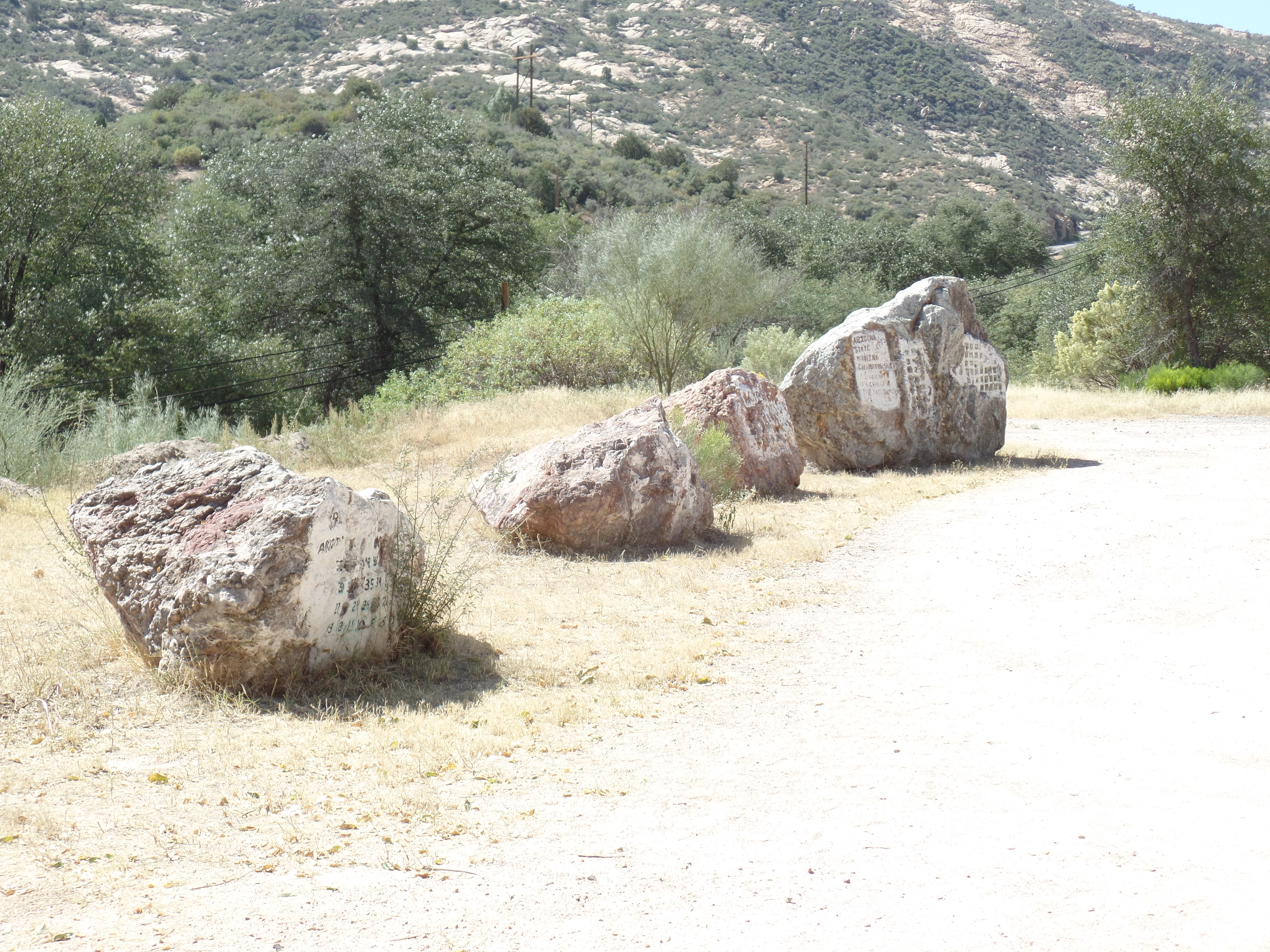
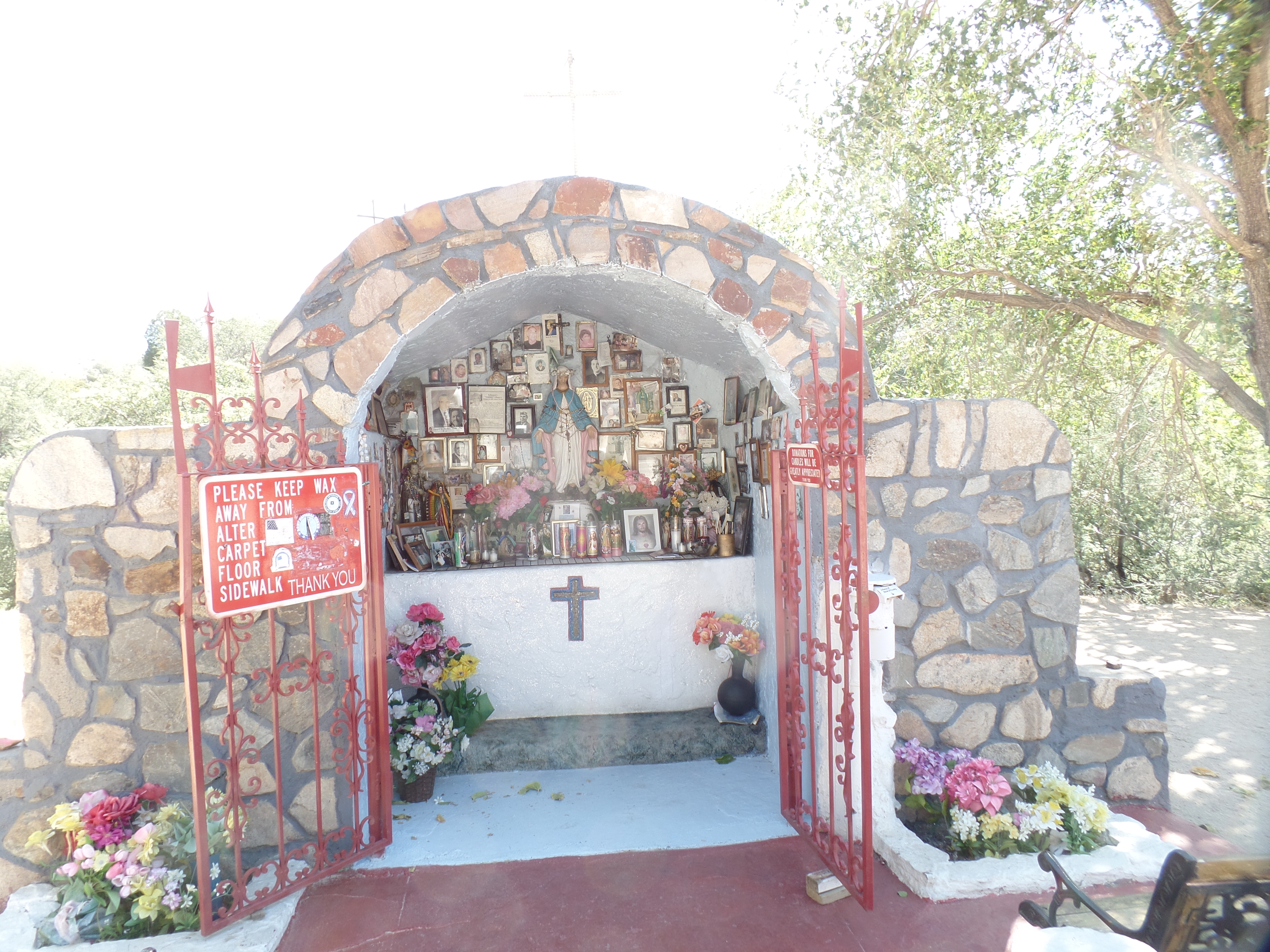
I spent a fair amount of time in each town, today.  Starting at a small chapel in a canyon called Bloody Tanks, where a former professor of mine was born, some eighty years ago, I noted the fervour of the copper miners of Miami.  This chapel, dedicated to St. Mary, has the full protection of the townspeople, regardless of their individual faiths.SAMSUNG CAMERA PICTURES

Bloody Tanks has an interesting tributary of the Gila River, which itself figures prominently in my planned stops of the next day or so.  It’s dry here, as the big river is, around these parts.

SAMSUNG CAMERA PICTURES

SAMSUNG CAMERA PICTURES

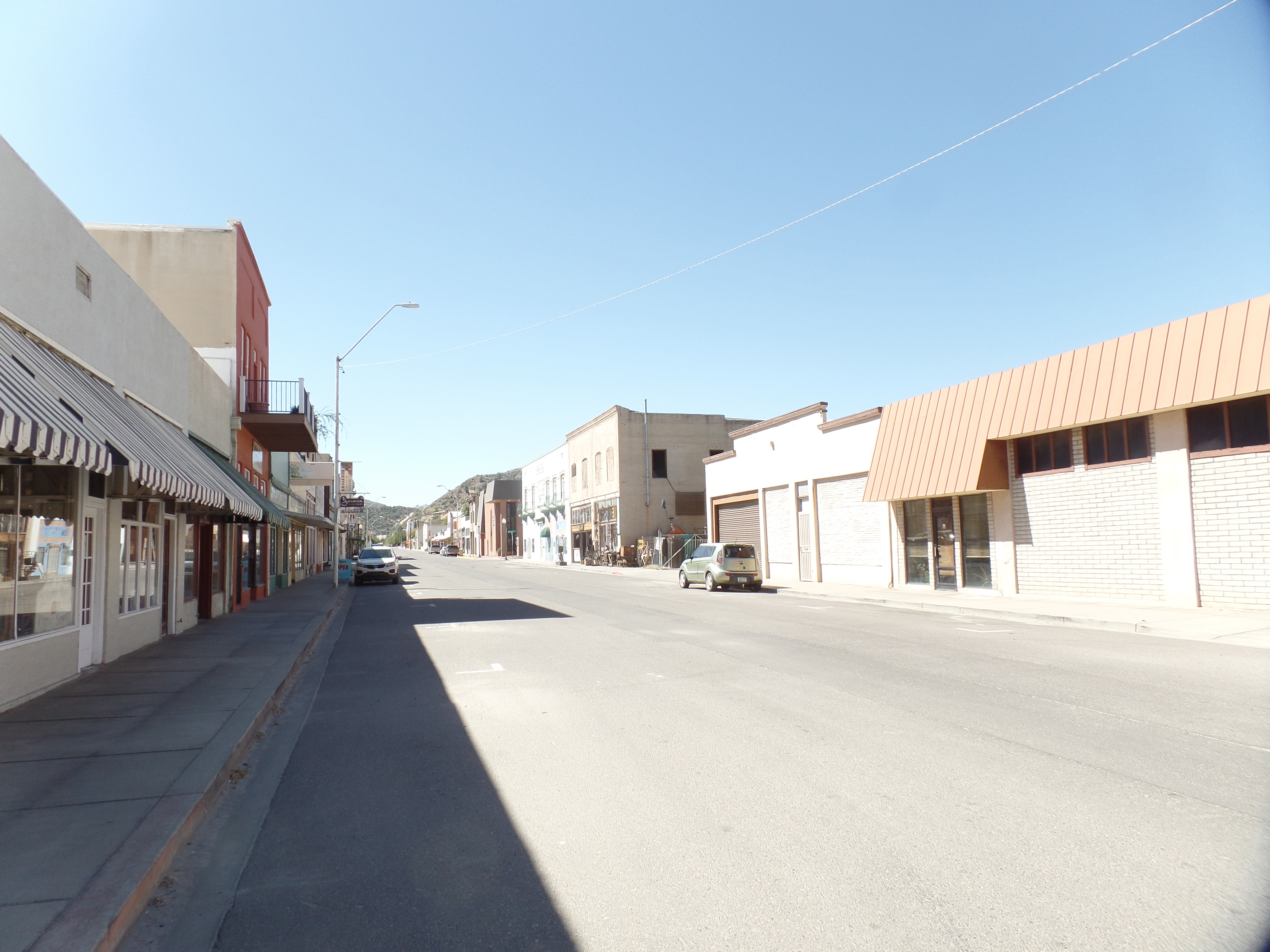
Miami was very quiet in midweek.  It seems the majority of the town’s business, these days, is conducted along Highway 60, which runs clear across the Southwest.  Miami’s downtown, what there is of it, is largely a series of antique shops.  It would be a nice place to rejuvenate, but I prefer to see that revival run by locals- as is happening in Superior and Globe, on either side of the Cobre Valley.

A revival sparked by the Apache spirit would be a fine one.

SAMSUNG CAMERA PICTURES

SAMSUNG CAMERA PICTURES

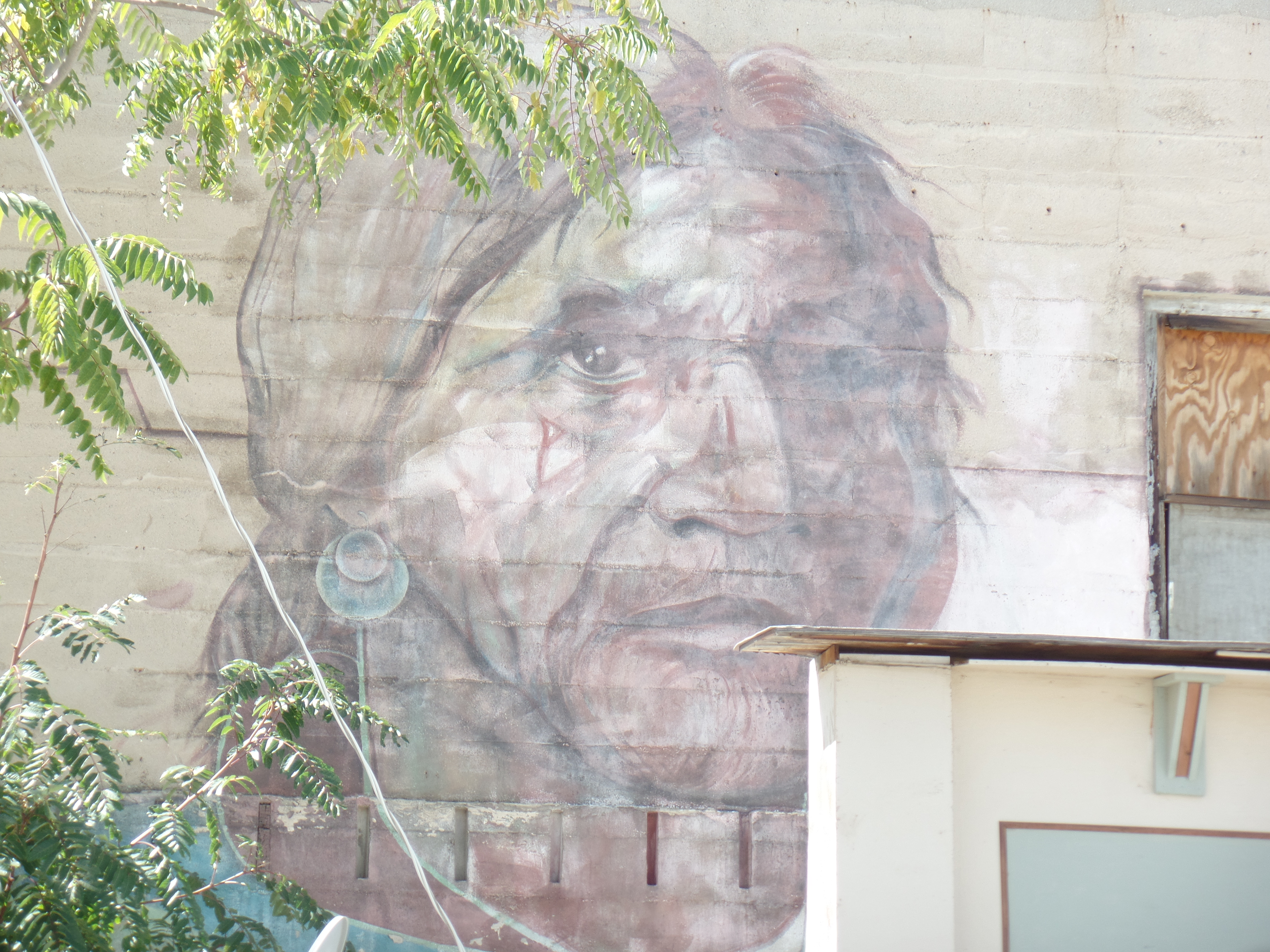
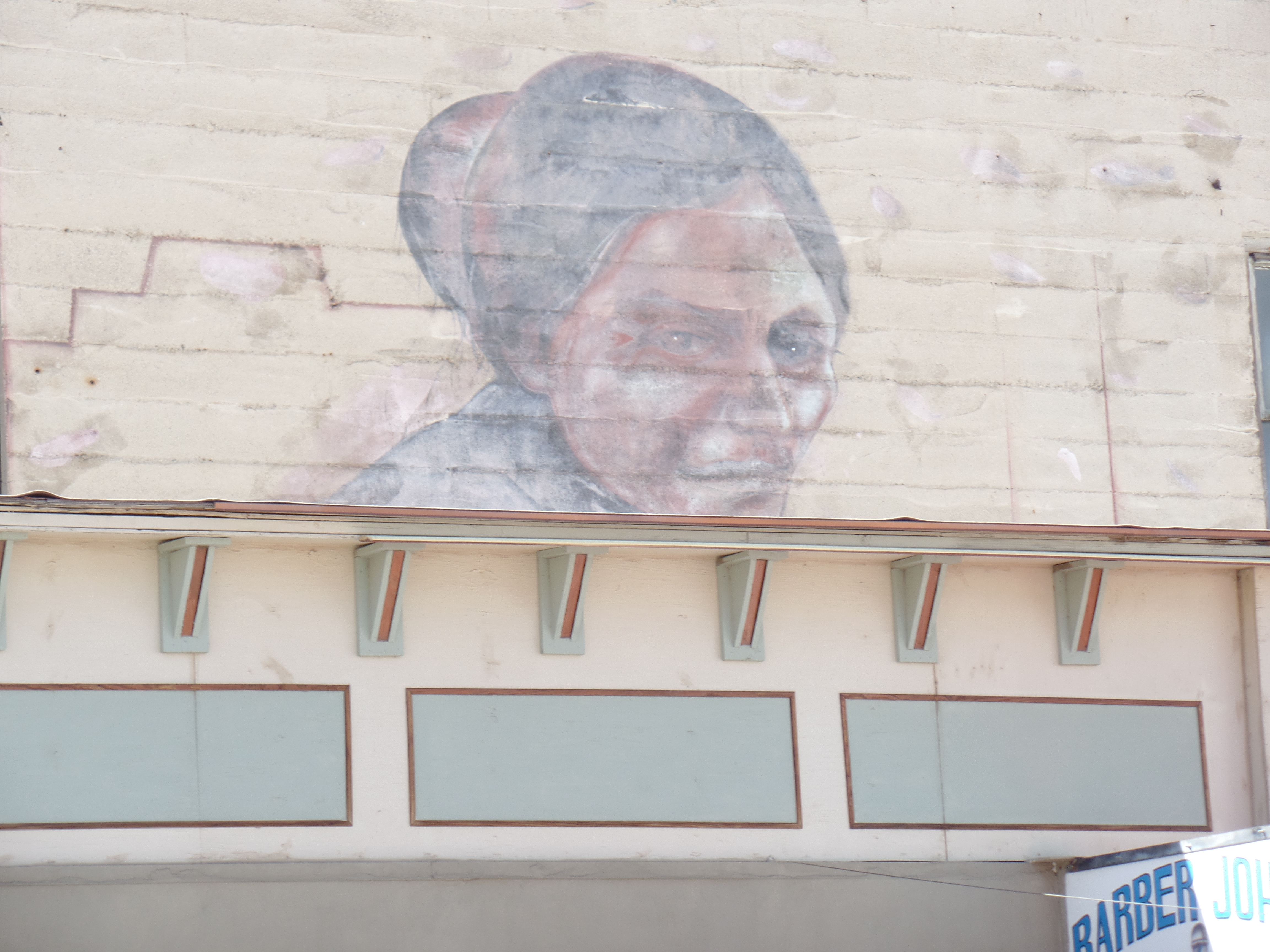
The “can-do” spirit of people like Manuel Mendoza also does this town proud.  There are many who have carried on, based on his example.

SAMSUNG CAMERA PICTURES

SAMSUNG CAMERA PICTURES

SAMSUNG CAMERA PICTURES

After looking around downtown, I took a ride along the hill to the south of town.

SAMSUNG CAMERA PICTURES

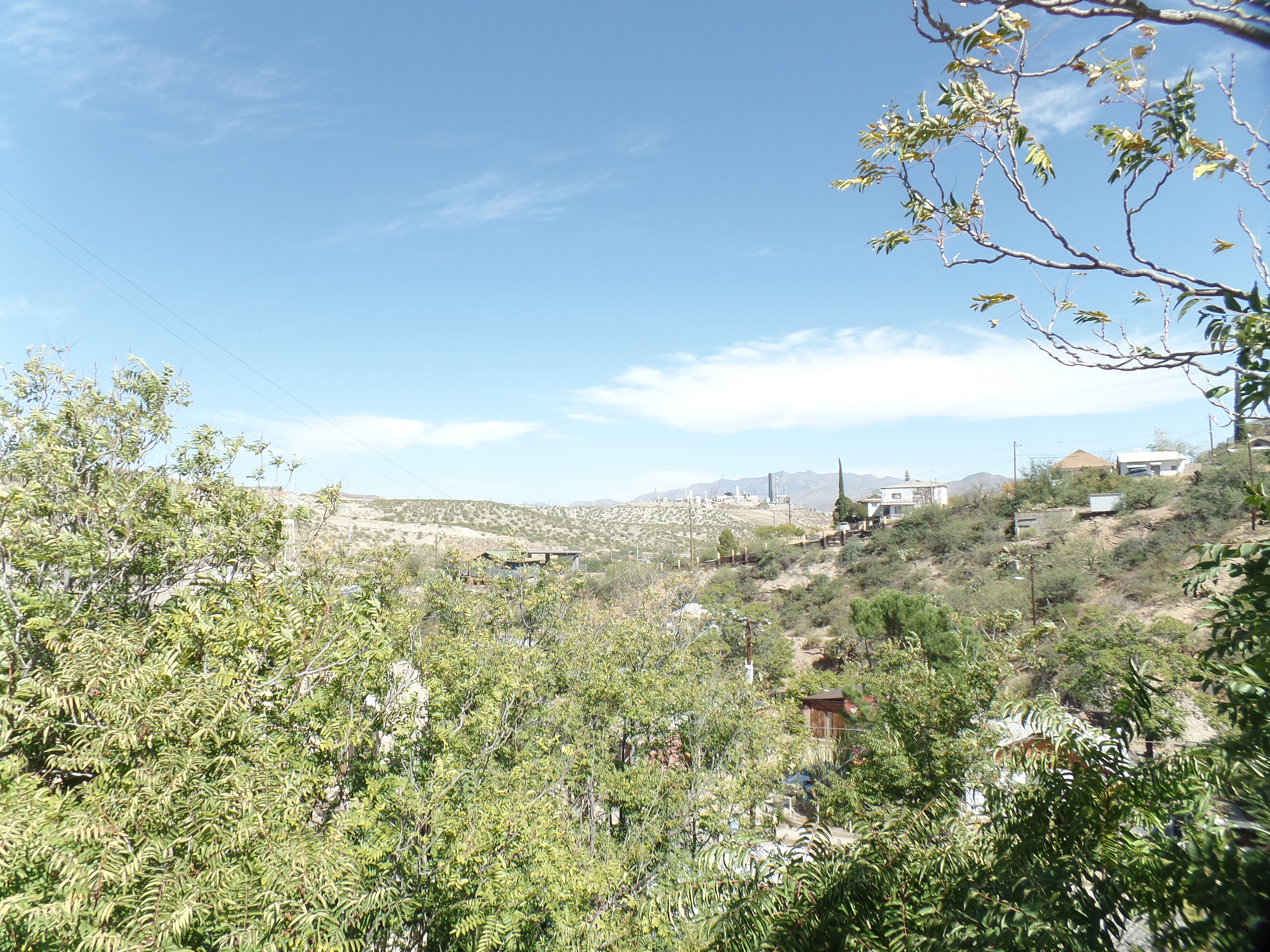
From the south, one gets a good view of Miami’s extant copper mine,

SAMSUNG CAMERA PICTURES

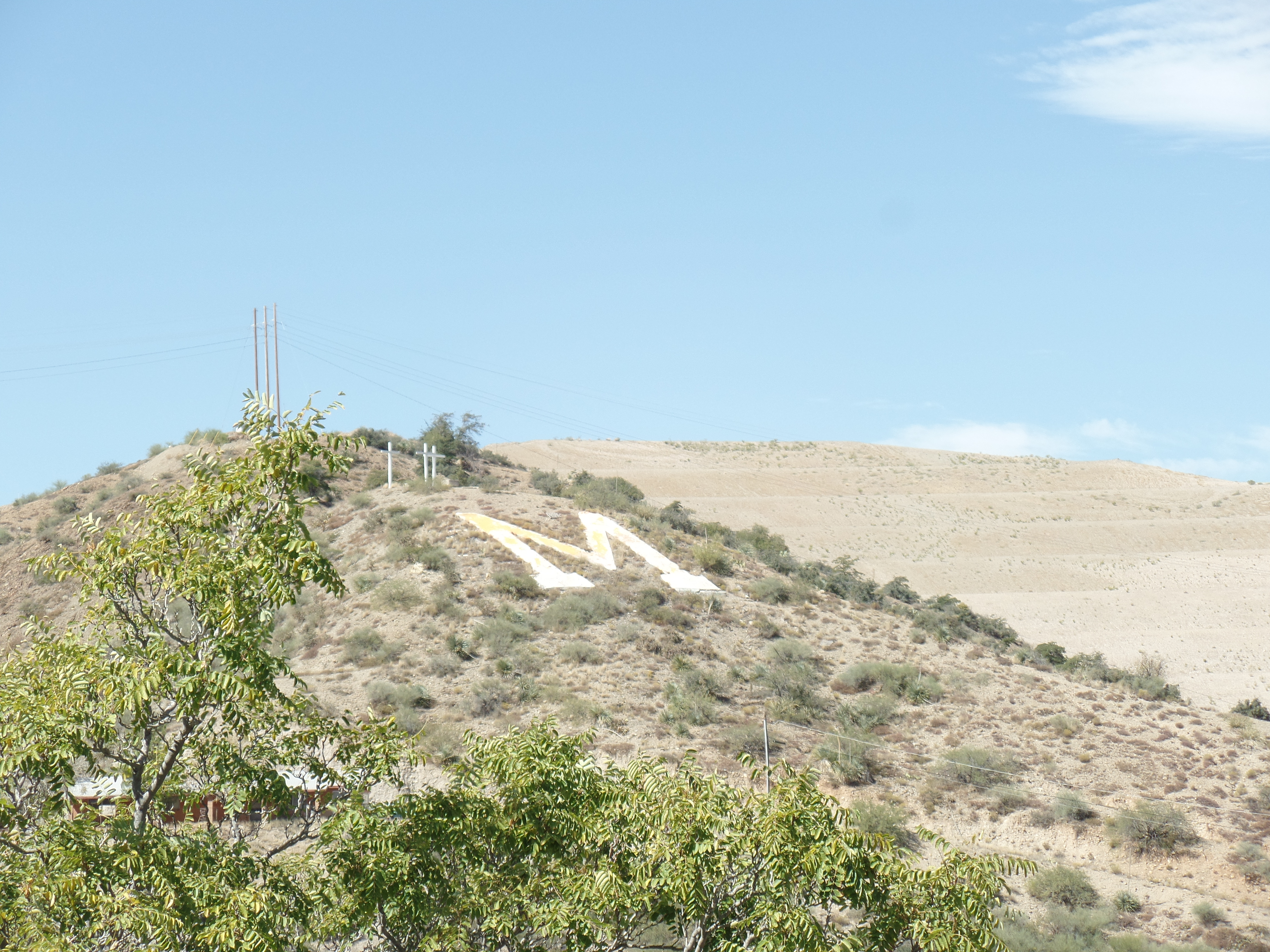
as well as of ‘M” Mountain.

SAMSUNG CAMERA PICTURES

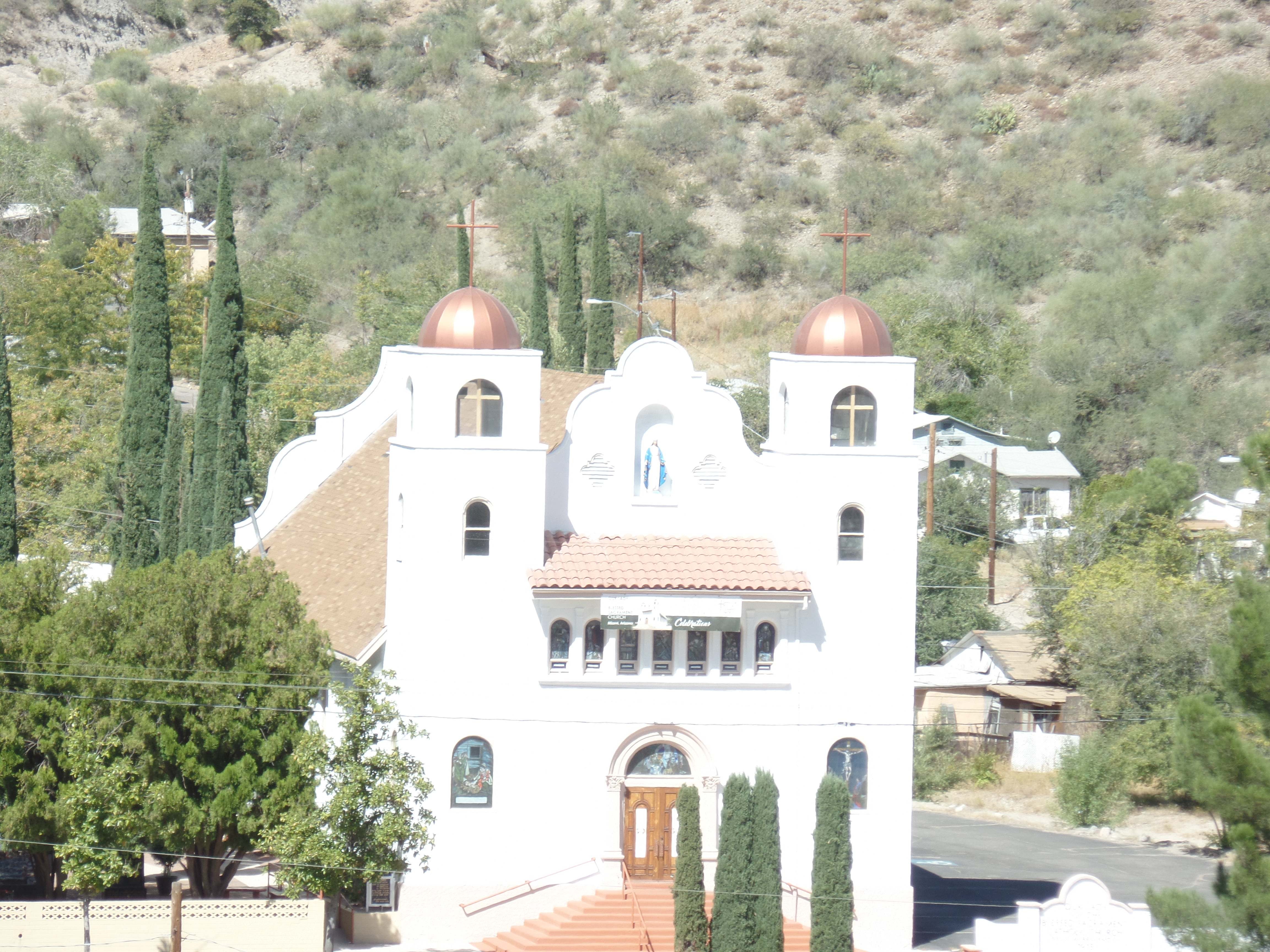
Our Lady of the Blessed Sacrament is the town’s most prominent church, highly visible from the south ridge.

SAMSUNG CAMERA PICTURES

Miami’s hills will, no doubt, draw me for further exploration.  It was time, though, to head on over to Globe’s tribute to its indigenous past:  Besh Ba Gowah.