The Hana Chronicles: Month 9, Day 7

0

September 28, 2026- Hana talked a blue streak today. She seemed to be excited about her vast gains in scooting and standing up. She is now able to stand, unsupported, for nearly two minutes. She walked, with my help, the length of the master bedroom, from her crib to the door. These achievements made her beam with delight.

I, too, beam with delight, when she listens to me and sits down in her high chair. She wanted to show off by standing up, proud as you please. My reaction was: “If you want more breakfast, then sit down.” She sat down, and finished her breakfast. Better that, than Bravado Girl taking a tumble. (We strapped her in, for lunch and dinner.)

HANA’S NOTE: I am happy when I am standing and walking, while holding on to the playpen. I REALLY want to take steps without help.

EXPANDING CIRCLES: Southern California- We now leave the Southwest and focus on the Pacific Coast and Basin. It could be argued that southern California is part of the Southwest, as the area (from Coalinga- Visalia- Mount Whitney on to the Mexican border) has an identity somewhat closer to Arizona and southern Nevada than to the northern part of the Golden State. It also has a unique tie to the Pacific Ocean.

The turf- The coast is defined by tits beach towns, the energy and drive of Los Angeles, San Diego and their seemingly endless suburbs (and traffic). The Coast Ranges separate the metropolises from the Colorado and Mohave Deserts-somewhat. Orange groves, which were once ubiquitous, are mainly now on the eastern slopes of the San Bernardino and San Gabriel Mountains-and in northern San Diego County. The San Andreas Fault, and other tectonic plates, run north to south, through the Transverse Ranges-which themselves run east to west, from San Bernardino to Santa Barbara. The Colorado River, along the borders with Nevada and Arizona, is the major draining flow of southern California. Shorter rivers, such as San Diego, San Gabriel, Santa Clara, Los Angeles, and Santa Ynez, drain from the Coast and Transverse Mountains, to the Pacific Ocean. Salton Sea is a shrinking body of salt water, in the southern reaches of the Colorado Desert.

First Nations- Southern California is the ancestral home of the Diegueno, Luiseno,Juaneno, Gabrieleno, Quechan, Cahuilla, Serrano, Soboba, Tataviam and Chumash peoples. The Diegueno are also called Kumeyaay, or Tipai/Ipai. Most of the people were brought into the life of Mission Communities, either by enticement or by force. Today, the communities are more independent of the Church and are organized in rancherias, or small reservations. A revival of indigenous languages, especially Kumeyaay and Chumash, is being slowly nurtured.

Southern California, particularly San Diego, has been very important to my family, over the years. My relationship with Penny was nurtured in Vista and in Julian. We were married in San Diego. We took our vacations from Arizona in San Diego, Santa Monica and Santa Barbara, Aram was stationed in San Diego, for nearly six years.Much of my time was also spent around southern California, especially in the beach towns, from 2012-2025.

Where I most feel at home: Ocean Beach, Torrey Pines, La Jolla, Banning, Julian, Crystal Cove, Dana Point, Ojai, Lomita, San Gabriel, Joshua Tree National Park

Where I most feel at peace: Ocean Beach, Torrey Pines, Joshua Tree

NEXT: Northern California
The Hana Chronicles: Month 9, Day 6

0

September 27,2026– Hana now has a pegboard, with thing like a timer, a zipper, an abacus, a gear board and some coloured fruits. She has taken happily to it and posed for a picture, while playing with the gears. When I left for Baha’i Feast, this evening, she was still busily at work, sorting things out in the large toy basket.

Earlier this afternoon, we went on a walk, for the first time in P.M., since June. I took her by a yard that already has a full Halloween display, mostly various skeletons, from an armadillo to a 20-foot human, along with Elphaba, from the “Wizard of Oz” and a few little goblins. She regarded them mildly, then went back into her own thoughts.

HANA’S NOTE– I am so happy with my new toys, that are on a board with holes in it. I especially like the wheels that fit into each other.

EXPANDING CIRCLES- Nevada The Silver State has often been called “The Big Empty”, but not so much in the last 15-20 years. Las Vegas is now a major metropolitan area. Reno- Sparks-Carson City and Lake Tahoe are becoming a second major metro. The area in between is no longer “The Loneliest Road in America”. I would not be surprised if places like Beatty and Tonopah start to fill in and grow,

The Turf- Nevada has regions that are close to sea level, not far from mountains that rise to over 13,000 feet. The bulk of the state is in the Great Basin, but there are small mountain ranges: Toiyabe, Ruby and Panamint. The Sierra Nevada edge into their namesake state, near Lake Tahoe, which, along with Pyramid Lake and Lake Lahontan, is a fresh water remnant of glaciation. Lake Mead, on the other hand, is the result of the damming of the Colorado River. That river, with its tributaries, the White and Virgin Rivers, drains the south of Nevada. The Truckee, Carson, Owyhee, Humboldt, Reese and Marys Rivers irrigate the north,

First Nations- Nevada is the ancestral home of the Northern and Southern Paiute, Goshute, Mohave, Chemehuevi, Mono, Washoe, Shoshone, Pahvant, Tsaiduka and Kuyatikka peoples, along with a dozen smaller groups. As in many other areas, Nevada’s indigenous people have had reason to regard people of European descent with suspicion. I have been received with varying degrees of guardedness, by people in First Nations areas near Las Vegas and Carson City. It is always best to show kindness and patience there, as anywhere.

Places where I feel most at home- Carson City, most certainly, as that is where my heart family lives. Reno, Austin, Fallon, Tonopah, Beatty, Valley of Fire, Pioche and Panaca are all heart homes, as well.

Where I feel most at peace: Cathedral Gorge

NEXT: Southern California
The Hana Chronicles: Month 9, Day 5

0

September 26, 2026- Hana continued to practice walking, mostly around the playpen, as our Roborock cleaner was working the floors and carpets. She continues to build on her receptive language, offering a few words of comprehension, or at least doing what her parents ask her to do.

She is now showing mastery of putting a ball in a small chute, putting detachable cloth vegetables and fruits back on a Velcro screen and is starting to put some toys back in their bins. We went to lunch at HMart Food Court, after I had finished my errands. Hana had several pieces of green grape, and ate most of them, while we adults had our lunch. (Hana had eaten at home, an hour earlier.)

HANA’S NOTE- I am not as scared of the Roborock as I used to be. I used to think it was going to eat me up!

EXPANDING CIRCLES: Arizona- It is odd to be thinking of the Grand Canyon State as an expansion goal, but it is for Hana. Much of my life, forty-one years, to be exact, was lived with an Arizona home address, working in an Arizona school or business. Aram’s formative years were spent in Arizona, and it was from there that he entered the Navy. It beckons to us to return someday, but Aram and Yunhee have to make their marks in Texas, first.

The Turf- Arizona is not all desert. There are rugged mountains in the central swath of the state-from Flagstaff in the north to Bisbee and the Coronado National Monument in the south; from Prescott in the west to Greer and Eagar in the east. There are sky islands, like the Hualapai Range, inland from the Colorado River and the three rims of the Grand Canyon. An 800-mile trail runs from the Mexican border to Utah, along the spines of several mountain ranges and through the Grand Canyon.

Low lying desert takes up much of the western third of the state, as well as the region between Tucson and the Mogollon Rim which begins east of Prescott. High desert terrain is found on the Colorado Plateau, along the Little Colorado River, from Page, at the Utah line, to Sanders, near the New Mexico border. The state is drained by the Colorado, Little Colorado, Salt, Gila, and San Pedro Rivers. The Salt and Gila have dry beds for a good portion of their course through the state. This, and the lower flow of the Colorado, are due to both their having been dammed and to the extended period of dryness across the West. Continued growth, especially in the corridor from Scottsdale and Peoria, through Phoenix and south to Sierra Vista, also contributes greatly to the depletion of water.

First Nations- Arizona is the ancestral home of the Yavapai, Hualapai, Havasupai, Kaibab Paiute, Dineh(Navajo),Hopi, Zuni, White Mountain Apache, San Carlos Apache, Tonto Apache, Chiricahua Apache, Akimel O’odham, Tohono O’odham, Maricopa, Cocopah, Mohave, Halchidhoma, Hia C-ed O’odham, Yuman (Quechan), Chemehuevi, San Juan Paiute and Pascua Yaqui peoples.

It was from Arizona that the Navajo people were forced onto the Long Walk, and to Arizona that many returned, in 1868. It was in southeast Arizona that the Chiricahua Apache, led first by Cochise, then by Geronimo, resisted both the Mexican and American authorities for several decades. It was to Arizona that the Tewa people fled from the Spanish re-conquest of their Rio Grande homelands, to be welcomed by the Hopi, at First Mesa. It is in Arizona that I feel most at home among First Nations people, especially on the Navajo Nation and in the Hopi villages.

Along those lines, I feel most at home in the Prescott area,, Flagstaff, Polacca, Second Mesa,Tuba City, Red Lake, Burntwater, Bisbee, Ajo, Superior, Cave Creek, Cornville, Jacob Lake and the Grand Canyon. Arizona, in general, will always have my heart.

Where I feel most at peace: Jacob Lake Inn

NEXT: Nevada

The Hana Chronicles: Month 9, Day 4

0

September 25, 2026- Hana practiced walking around the house, with me holding her hands. We made it through the dining room, kitchen and living room,before her father came home and her attention was shifted. She has her stopping places, of course: The dining room table, the dish washer, the door to the laundry room, her kitchen high chair (where she sits and watches us prepare food and clean up) and her two strollers, which are parked near the door to the back yard. We stopped at the sofas, one of which has her quilt and the other, a Winnie the Pooh plush toy. This will surely be a regular afternoon activity, until she is able to walk on her own.

A bit earlier, when she woke from her afternoon nap, I took her to the playpen. She said “No no”, which somehow cued me that it was time to prepare her mid-afternoon feeding. So, I sat her in the kitchen high chair, and started warming the bottle, which gave her the satisfaction of being understood. After the feeding, she was perfectly glad to spend more time in the pen.

HANA’S NOTE- I ate almost everything by myself today. It is getting easier. even using the spoon.

EXPANDING CIRCLES: Utah- The Beehive State stands prominently in two ways. First, the per-eminence of the Church of Jesus Christ of Latter day Saints, colloquially called “the Mormons” and second, the number and variety of its natural treasures.

The turf- Utah’s landscape is a fascinating interplay of desert and mountain, with lush valleys in between the two. In the west are found Zion and Kolob canyons, comprising Zion National Park; Bryce Canyon National Park; the mountainous Cedar Breaks; and furhter north, the low-lying Bonneville Salt Flats.

In the center of the state are its urban centers: Salt lake City, Provo-Orem, and Ogden, the first two built near lakes. Great Salt Lake is the signature symbol of Utah, yet is under extreme duress, from development and diversion of its water. Utah Lake is also increasingly surrounded by urban growth.

Eastern Utah is dominated by the Wasatch and Uinta Mountains, in the north; Canyonlands, Arches National Monument, Capitol Reef, Natural Bridges and the Henry Mountains cover the southeast. The area around Price is also filled with rugged canyons.

Utah is drained by the Colorado and Green Rivers, and their tributaries, including the Duchesne, San Juan and Virgin Rivers.

First Nations- Utah is the ancestral home of the Ute, Paiute, Goshute, Shoshone and Dineh (Navajo) peoples. Mormon pioneers alternately traded peacefully with the Native peoples and fought with them over land and resources. Some Utes enslaved members of surrounding tribes, selling them to the Spanish, during the time of the area being part of New Spain. (The Mormons sometimes purchased the slaves, then set them free, engaged them as fairly well-treated house servants, or adopted them into their families. Utah was never a part of the Confederacy, and in fact sent men to serve in the Union Army.) Ute and Dineh lands in southeast Utah are productive of oil and natural gas, for which the tribal members receive some royalties.

Where I feel most at home: Kanab, Salida, East Side of Salt Lake City, Price, Arches National Park, Natural Bridges, Mexican Hat, Aneth.

Where I feel most at peace: Natural Bridges

NEXT: Arizona

View Post↗

The Hana Chronicles: Month 9, Day 3

0

September 24, 2026- When Hana is annoyed at something, she utters a mild groan. A few times today, especially as her mother was getting ready to leave for work and again, when it took a bit longer to get the safety straps and tray attached to the high chair, her guttural expression took flight.

She has been feeding herself quite well, of late. Of course, the results are what one would expect of an infant or toddler, but she does get most of the food into herself, sometimes after a few tries. She is getting better at taking the spoon and putting food into her mouth, though it may take two tries to empty the spoon. I attribute that to her not having a full set of teeth.

Hana also was more willing to walk with me holding her hands, and walking backwards, in front of her. For the first time, today she walked a bit, inside the playpen, with my holding her by one hand and being at her side. I hope to get her to do more of both, over the next several days.

HANA’S NOTE– I was stuck on playing with the price tag on my Mexican doll. Papa and Daddy took it, and said it was plastic and they didn’t want me to eat it. I was sad to lose that tag, but a cloth book made me feel better.

EXPANDING CIRCLES: Colorado- The Rocky Mountain State has been also like home to me, over the years, in many respects. One of my sisters-in-law lived in the Denver area for several years, and our niece still lives there.I have friends in several parts of the state, as well.

The turf- Mountains make up about 2/5 of the state’s terrain; the Rockies proper taking up the middle third and the San Juan Range forming something of a boot, in the southwest corner. High Desert takes up most of the western third, save the area of the San Juans. High Plains take up the eastern third. Still and all, Colorado is the only state where I have seen snow in each of the twelve months of the year. The state is well-drained: The Colorado River, Rio Grande, Animas, San Juan, Arkansas, North and South Platte and Little Snake Rivers all either begin here or flow swiftly through.

First Nations- Colorado is the ancestral home of Dineh (Navajo), Nuutsiu (Ute), Yapudttka, Pahdteeanooch, Kahpota, Mobach, Cheyenne, Arapaho, Jicarilla Apache,Yamparika and Numunuu(Comanche). Puebloan communities left their ruins at Mesa Verde and Chimney Rock, both now tended by the National Park Service. In the annals of relations between Native Americans and the U.S. Army, Sand Creek remains hallowed ground. On November 29, 1864, Colonel John Chivington led a force of 675 Cavalrymen on a slaughter of 150 Arapaho and Cheyenne villagers, 2/3 of whom were women and children. I visited Sand Creek, a few years ago, and could only stand in solemnity. There is no honour in one-sided slaughter, despite what Chivington claimed, to his dying day.

Where I feel most at home: Cortez, Walsenburg, Del Norte, Black Forest, Manitou Springs, Boulder, Glenwood Springs.

Where I feel most at peace: The Baha’i camp at Black Forest

NEXT- Utah

The Hermit Shares Space

2

March 29, 2024- The three-year-old girl wrapped her arm around a pole, while standing just above the stairs at the rear door of the shuttle bus. It was a crowded bus, and even with her watchful grandmother standing between her and the door, she was taking no chances.

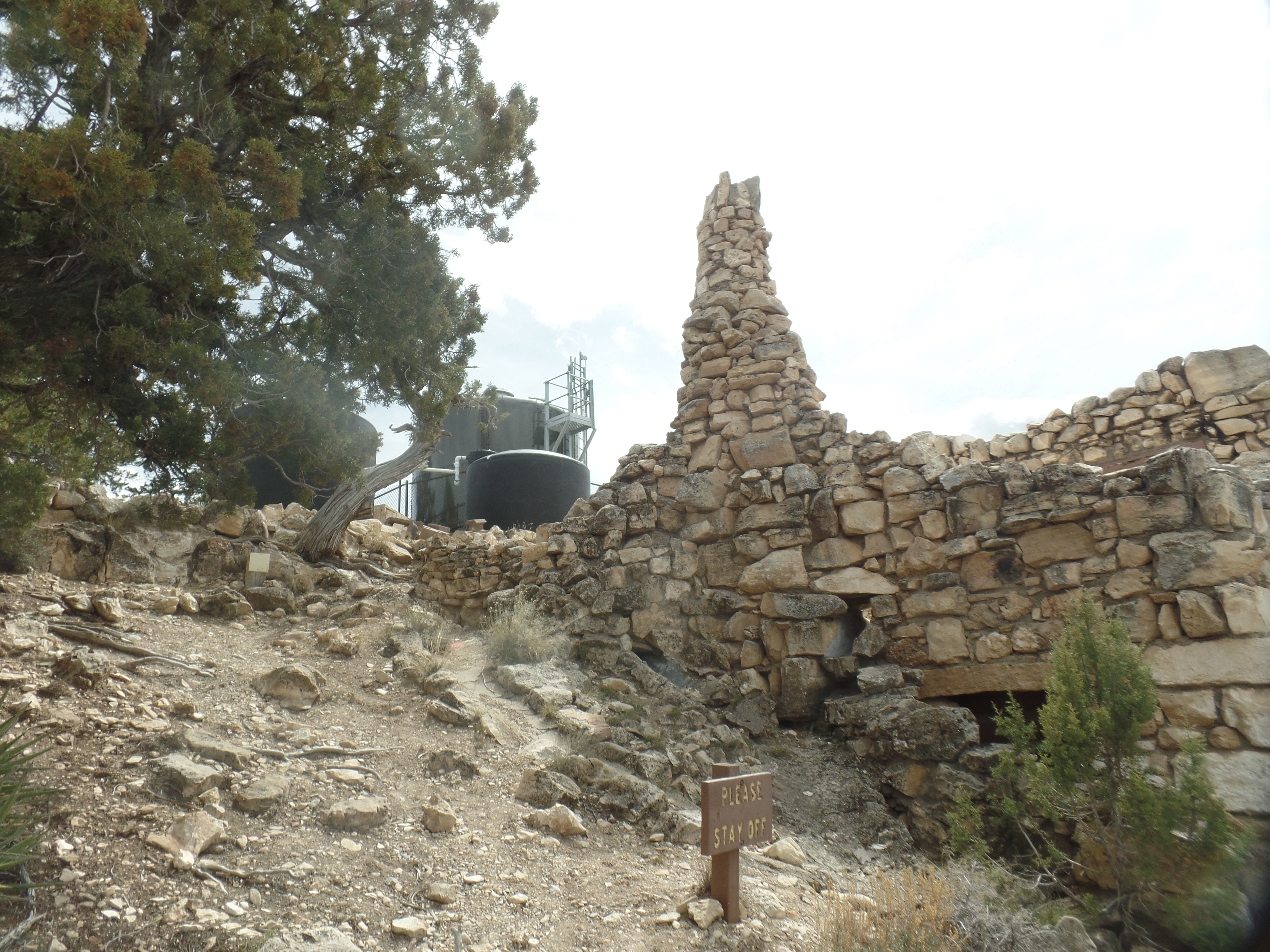
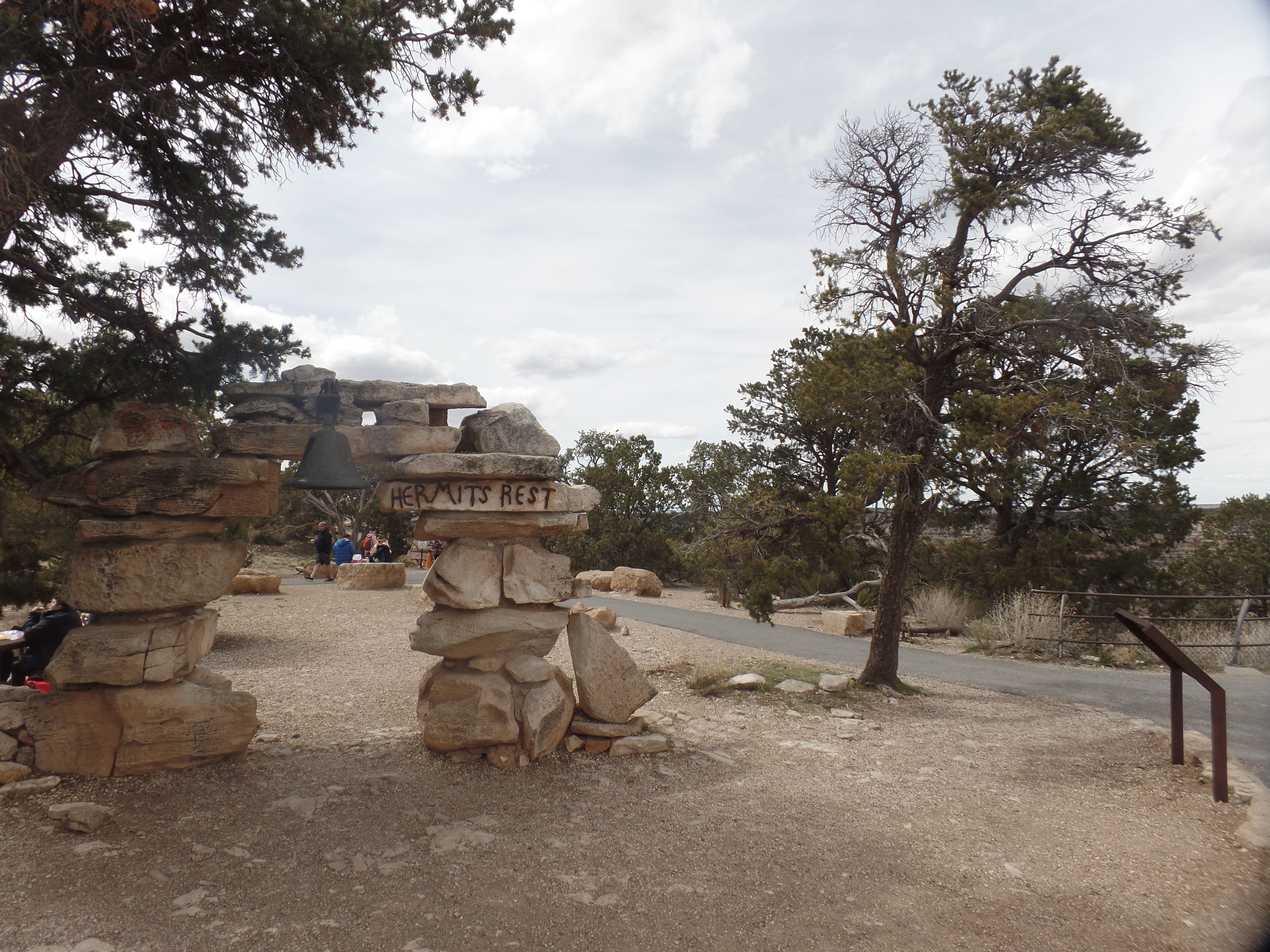
Hermit’s Rest is the site of the westernmost of Mary Colter’s eight buildings that grace Grand Canyon’s South Rim. It is in an otherwise nondescript section of the Rim Trail, set away from the stunning overlooks that are signature to the canyon’s edge. Louis Boucher would have preferred it that way. He was a prospector for gold, and probably uranium, in the days before the national park was established. His trail, now called Hermit Trail, leads down to the Colorado River, some 8.7 miles one way. (If I were to hike to the river, it’d involve a camp out at Hermit Camp-not far from where Louis made his home.)

The gateway to the end of one line.
Mary Colter’s Beehive Oven, resembling a Hopi outdoor oven
South side of Hermit’s Rest store.

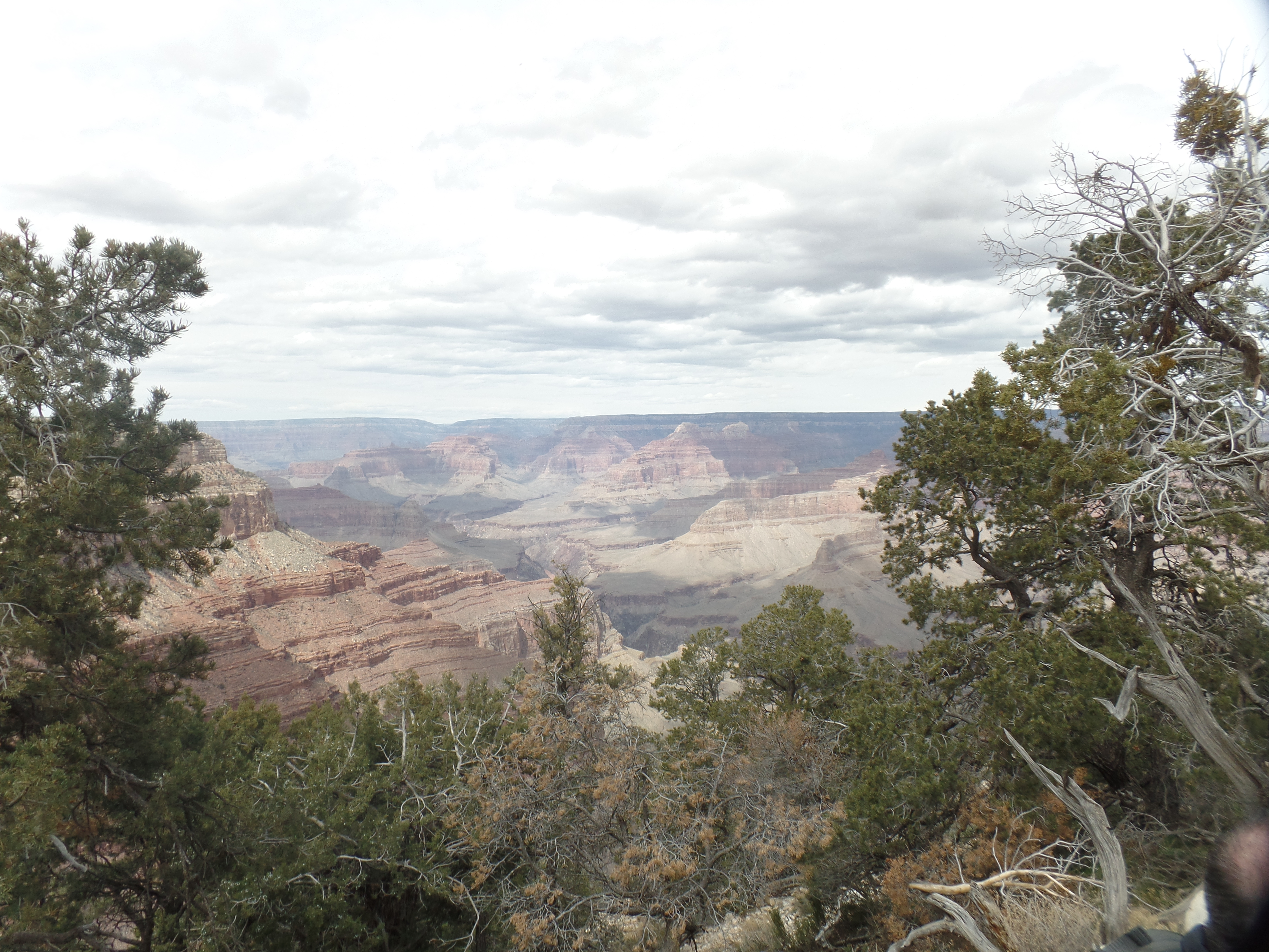
Neither man-made nor nondescript last long at the Canyon, though. A short walk through the trees reminds the visitor of why the trip was made, in the first place.

The Inner Basin, from Hermit’s Rest.

I began the visit at Hopi Point, where the last trip was cut short, owing to a flash flood in Tusayan, which necessitated most of the visitors having to go back to Grand Canyon Village and tend to their lodging. I was able to make the journey around the eastern route, to Cameron, and then back to Prescott, via Flagstaff. Not everyone was so fortunate, and many ended up spending the night in one of the lobbies of hotels within the park.

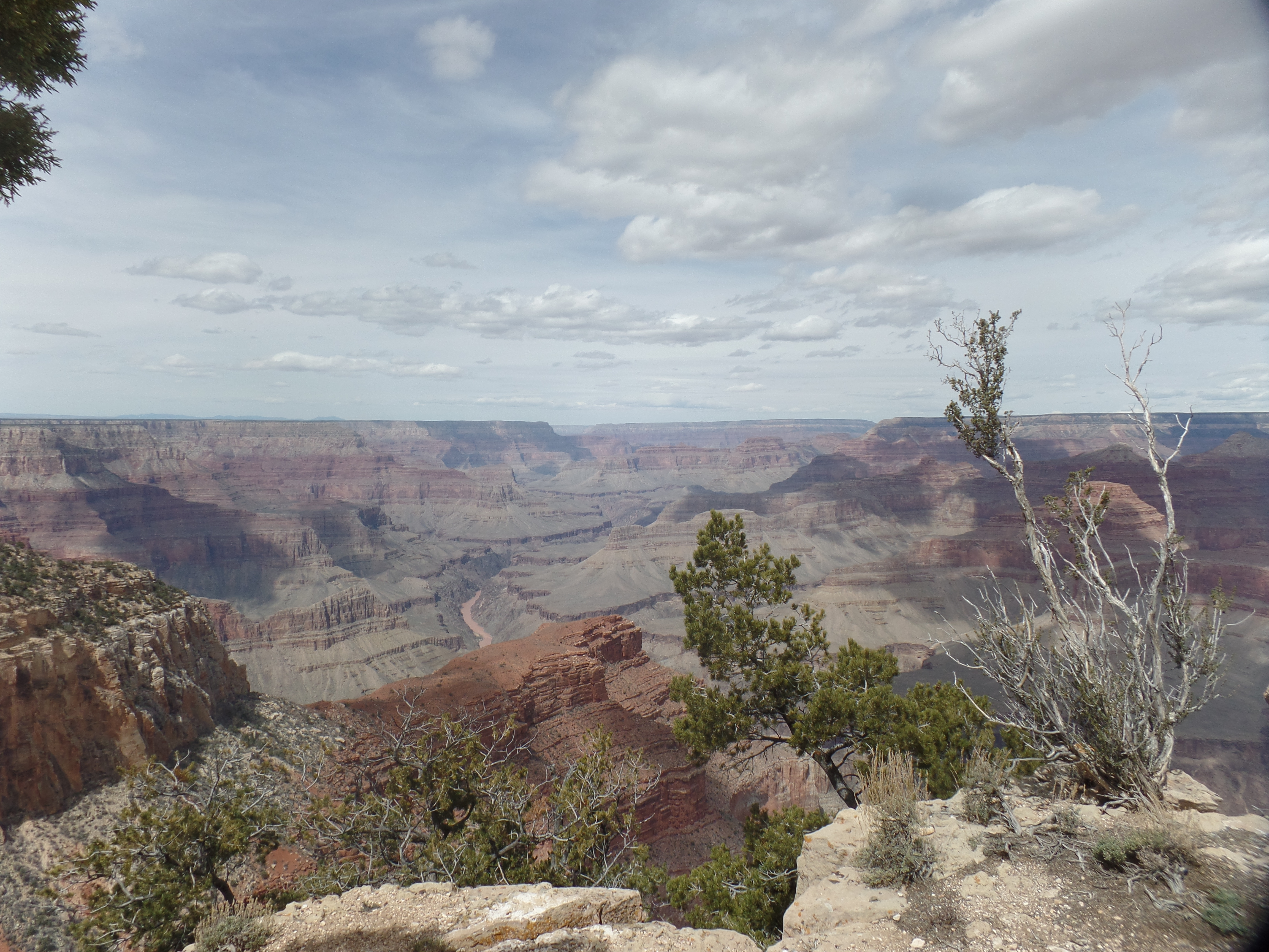
Today, there was wind, but no water, so all of us were able to go clear to Hermit’s Rest, or to one of the other viewpoints. I walked from Hopi Point to Mohave Point, taking in the following scene, among others.

The Colorado River has a demure presence, beyond The Battleship, from Hopi Point.
If you think that living on the South Rim is easy, this juniper pine begs to differ.
A view from The Abyss.
The Abyss also shows the effect of weathering, on the topmost layer of limestone.
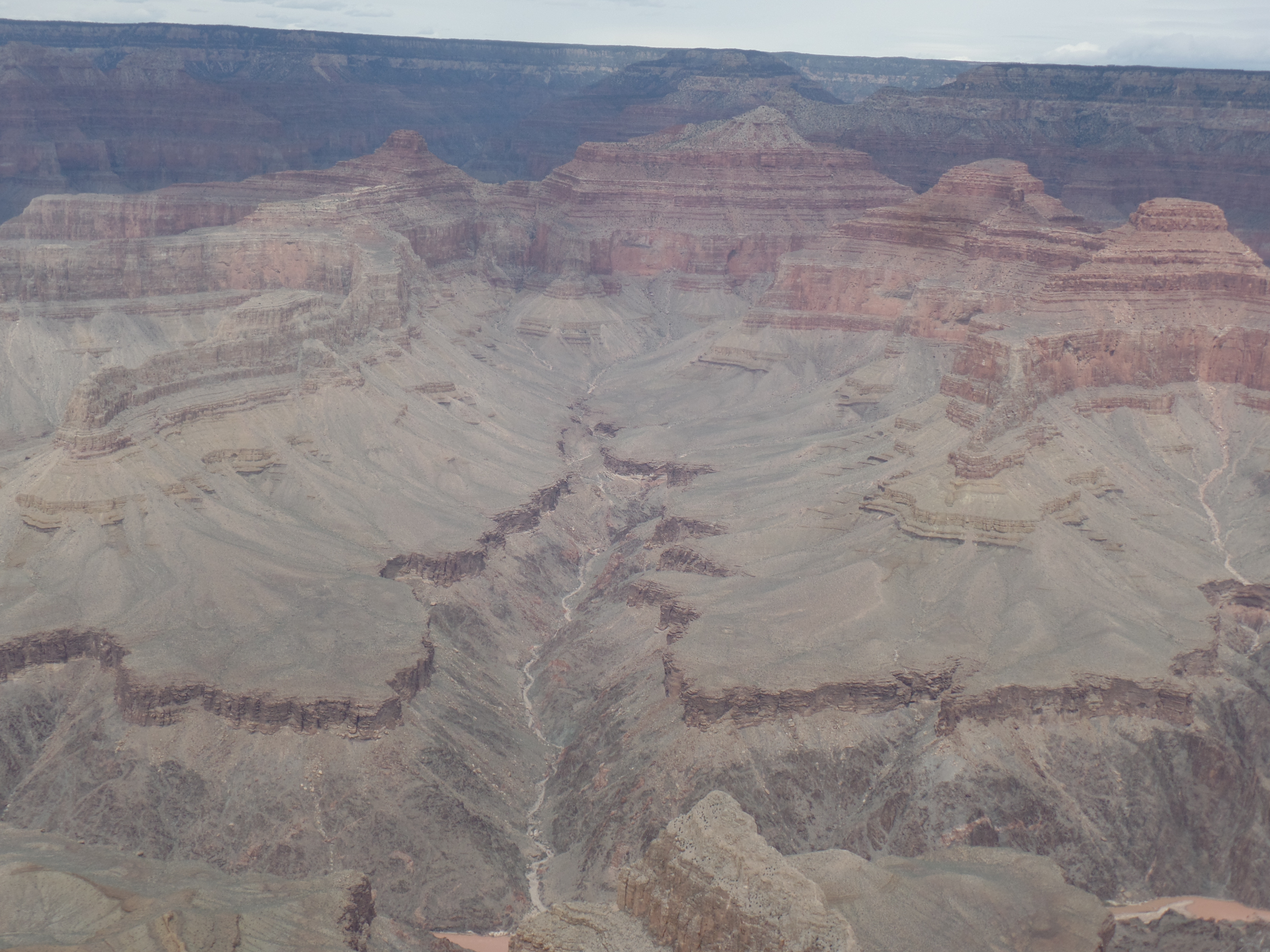
Here is a view of Monument Creek, flowing into the Colorado River.
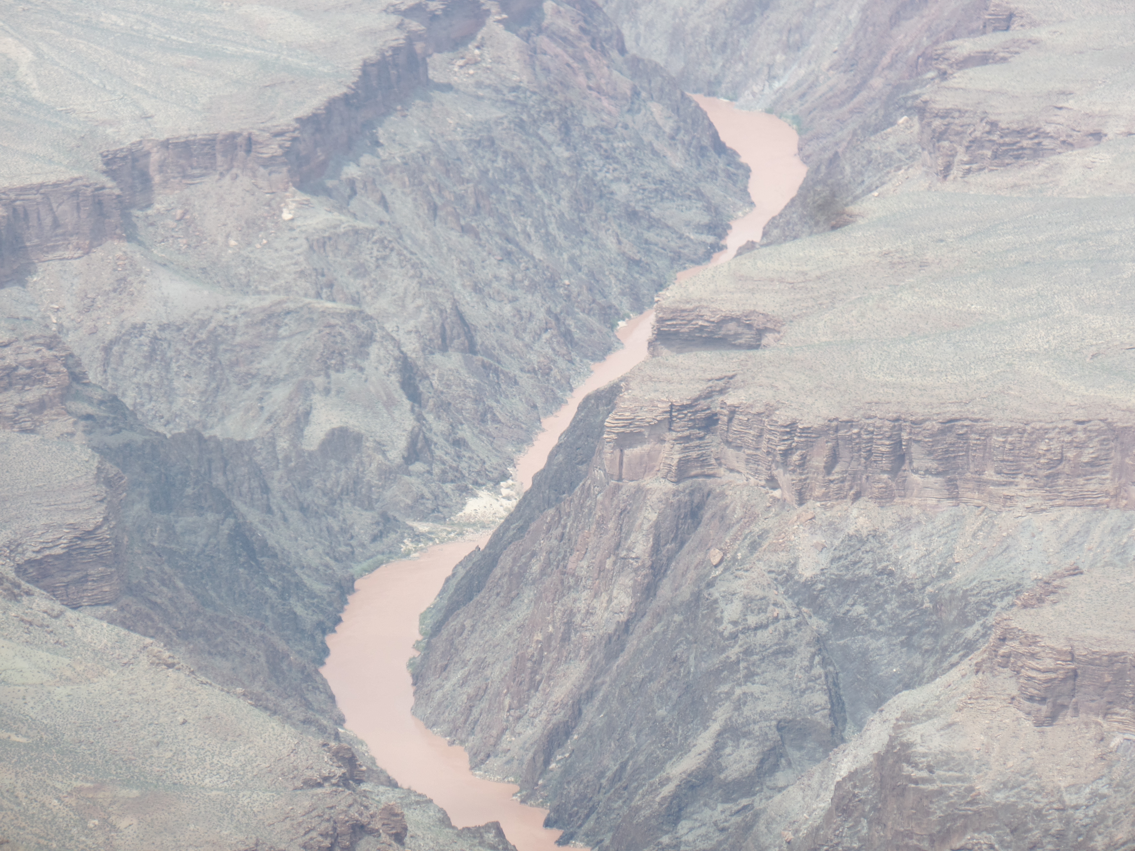
From Pima Point, a zoom lens affords a close-up of the Colorado River, without a long hike!

Finally, just when you think you’re done with the Canyon, here’s the next big thing:

The first question says it all.
If your answer is “Yes”, happy hiking-and camping!

I am not beyond that sort of adventure yet, but for today, it was time to head back, so onto the shuttle buses I went, including from the Village to the Visitors Center, which was the bus where the little girl and her family crowded on. We all got to go where we had planned, today. No rain, just wind.

The Water Speaks

4

January 10, 2023- In the 2016 film, “The Queen of Katwe”, the narrator says “Water takes what it wants”, in ravaged Uganda, each year. Floods indeed ravage many countries, often capriciously and with long-term devastating effect. Last year, Pakistan suffered the worst, with Kenya not far behind. Last month, southeast Brazil suffered greatly from floods, and now it is the turn of the U.S. Pacific coast.

California has borne the brunt of the storms so far, with western Nevada getting slammed by the first one and expecting more tonight. The Northwest may well be in the cross hairs of the next storm, tomorrow or Thursday. Friends whose weather experience has been relatively benign, for several years, are now finding themselves either evacuated or stuck in their homes.

The water is speaking, and its message is clear: “There has been an imbalance, both in how I am used and in how I am treated. Now, none of you, anywhere, are totally safe from my cleansing and my wrath.”

Man is the steward of Earth, and the central task of a steward is to maintain balance, so that all resources, including the Elements, are available as needed for most, if not all, of the world’s creatures. We are definitely still in the learning curve on that one, and will remain so for some time to come. It’s been suggested that a way be found to harness the moisture from “climate bombs” and “atmospheric rivers”-and push the moisture into the Colorado River, specifically into its lakes. That may remind some of Pecos Bill lassoing a tornado, yet, if clouds can indeed be seeded and made to build moisture-then it is worth the National Oceanic and Atmospheric Agency and the National Science Foundation collaborating on efforts to contain and harness such excess moisture, and deposit it where it can do some good.

None of this is quick and it will be anything but easy. The same may be said about the exploration of Space and the finding of cures for deadly diseases, but on we go.

Barriers Are In the Mind

6

February 17, 2020, Yuma-

A commenter on one of my recent posts, on another social media site, took issue with the notion that freedom has a price.  Once, an explanation of that statement was offered, he had a better appreciation o fits meaning.    He did, for his part, also make a valid point:  We can choose not to surrender our freedom to those who would take us down and use us for their own designs. Indeed, I have made several choices, even so far this year, that have not set well with some others.  In the end, though, they can also choose for themselves, as to a best course of action.  The sun should not rise and set, with any other person, when it comes to making choices of one’s own.

After a three-hour visit with some long-time friends, in this bustling border city, I took in two sites that focus on the consequences of discordance and social unrest:  Yuma Territorial Prison State Historic Park and the border wall at San Luis.

The Prison is, of course,defunct as a place of incarceration.  It long ago  gave  way to a more “up-to-date” facility, in Florence, itself now slated for closure, after over 100 years of use.  Yuma Territorial Prison was established in 1875, at the behest of the area’s representative in the Arizona Territorial Legislature:  Jose Maria Redondo.  It served as the Arizona Territory’s place of incarceration, from 1876-1909.

Since that time, Yuma has alternately used the facility as a temporary high school (1910-1914), a homeless shelter (1930-39) and, most recently, as the centerpiece of the city’s historical heritage preservation.

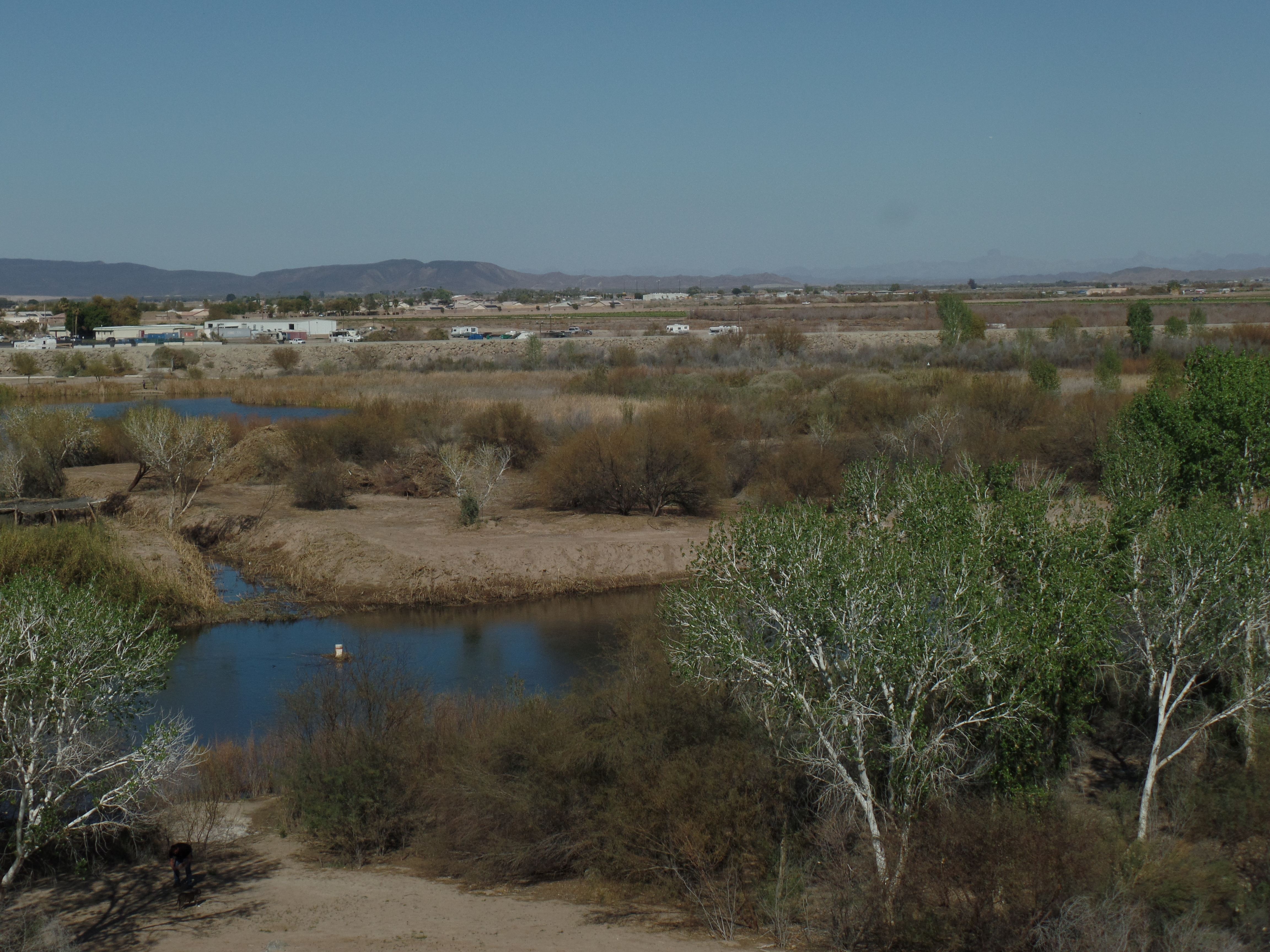
Here are a few scenes of the present State Historical Park. Below, is a view of the Colorado River’s wetlands, below the Park grounds.

SAMSUNG CAMERA PICTURES

Here is the railroad bridge, opposite the Park.  It is still in use.

SAMSUNG CAMERA PICTURES

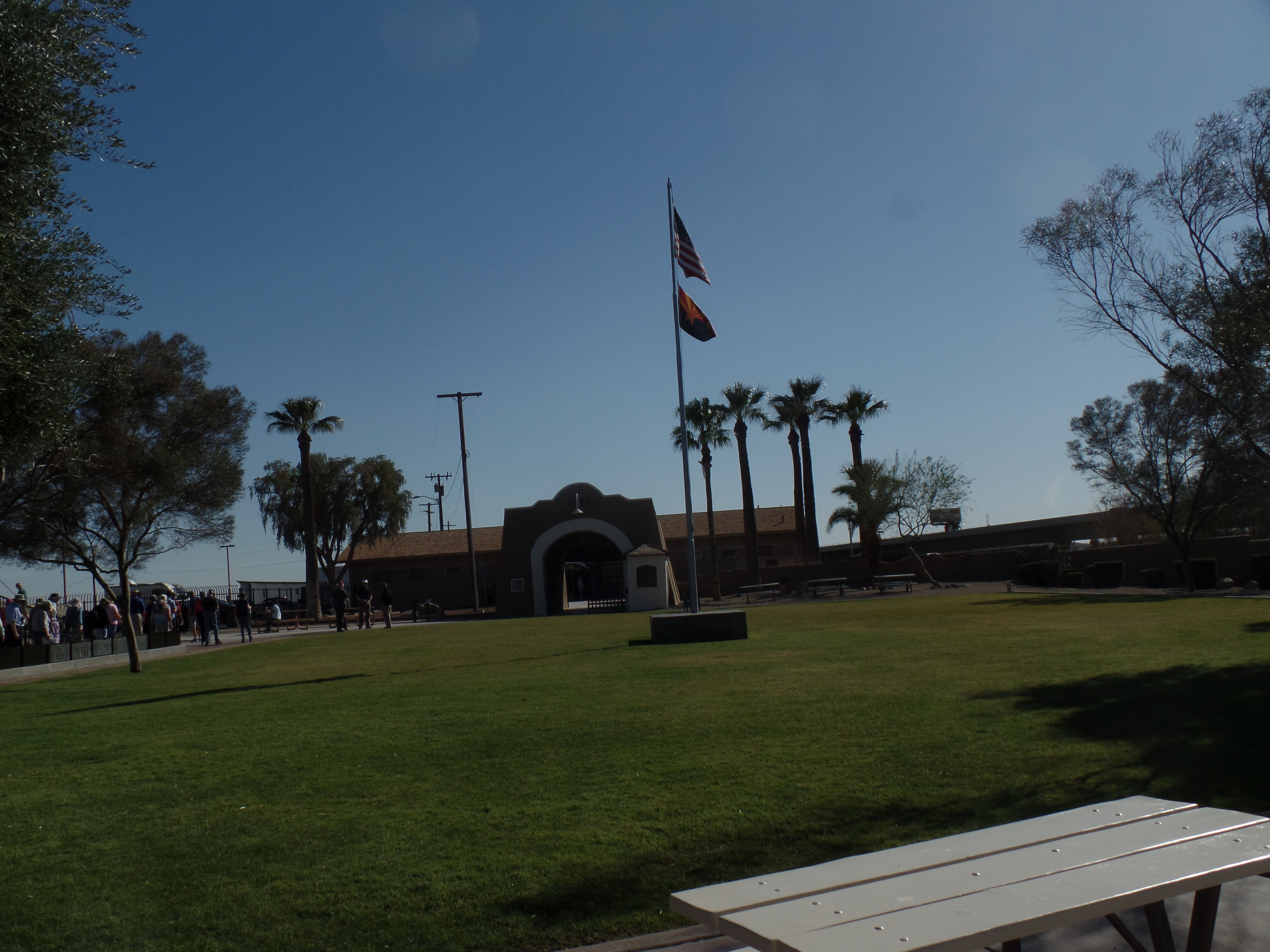
This was the Parade Ground.

SAMSUNG CAMERA PICTURES

This was the Guard Tower.

SAMSUNG CAMERA PICTURES

These are two views of the Sally Port  (Puerto de Salir), or main entrance to the enclosed prison.

SAMSUNG CAMERA PICTURES

SAMSUNG CAMERA PICTURES

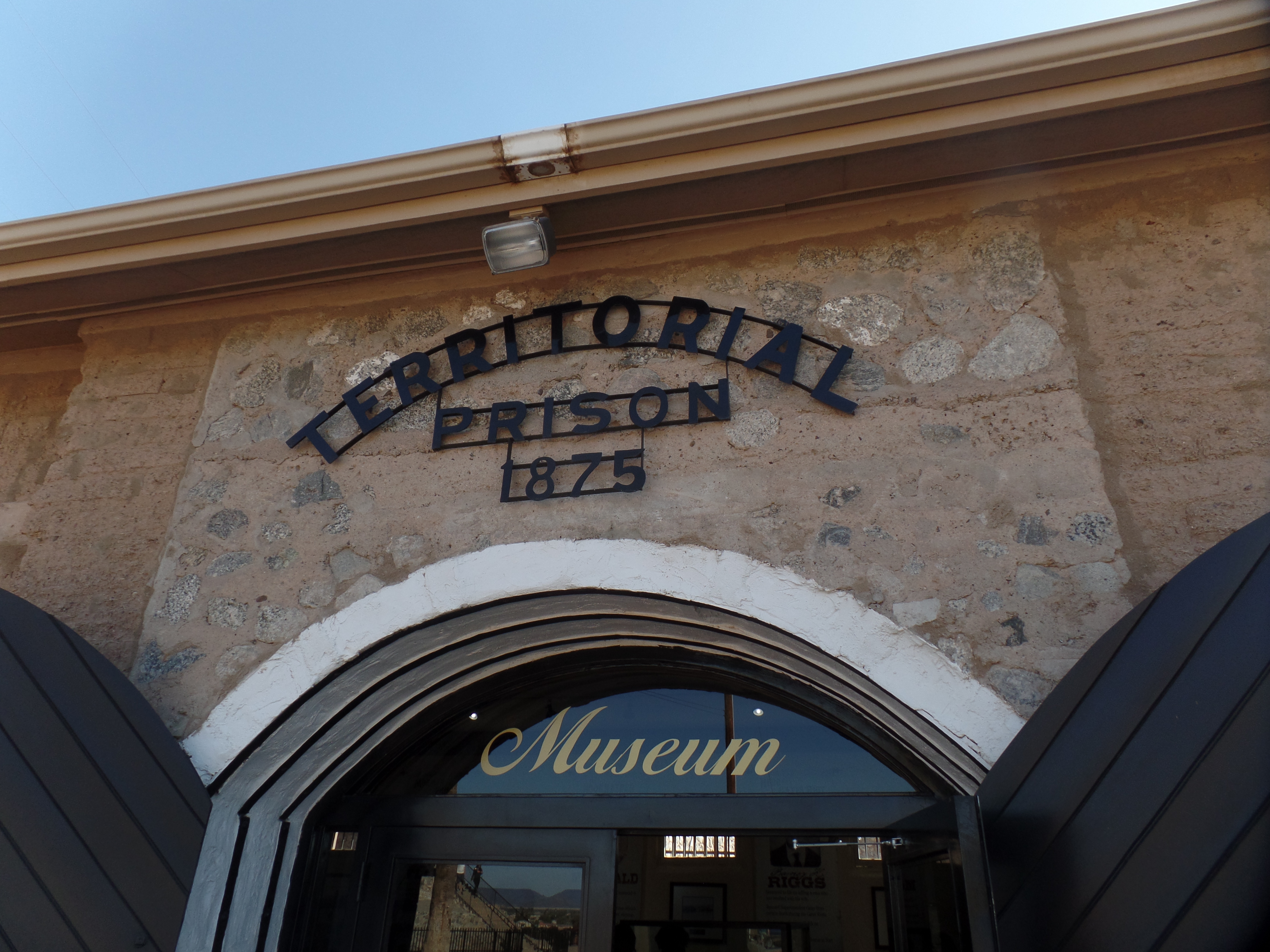
The present-day Museum is in the site of the Prison Mess Hall.

SAMSUNG CAMERA PICTURES

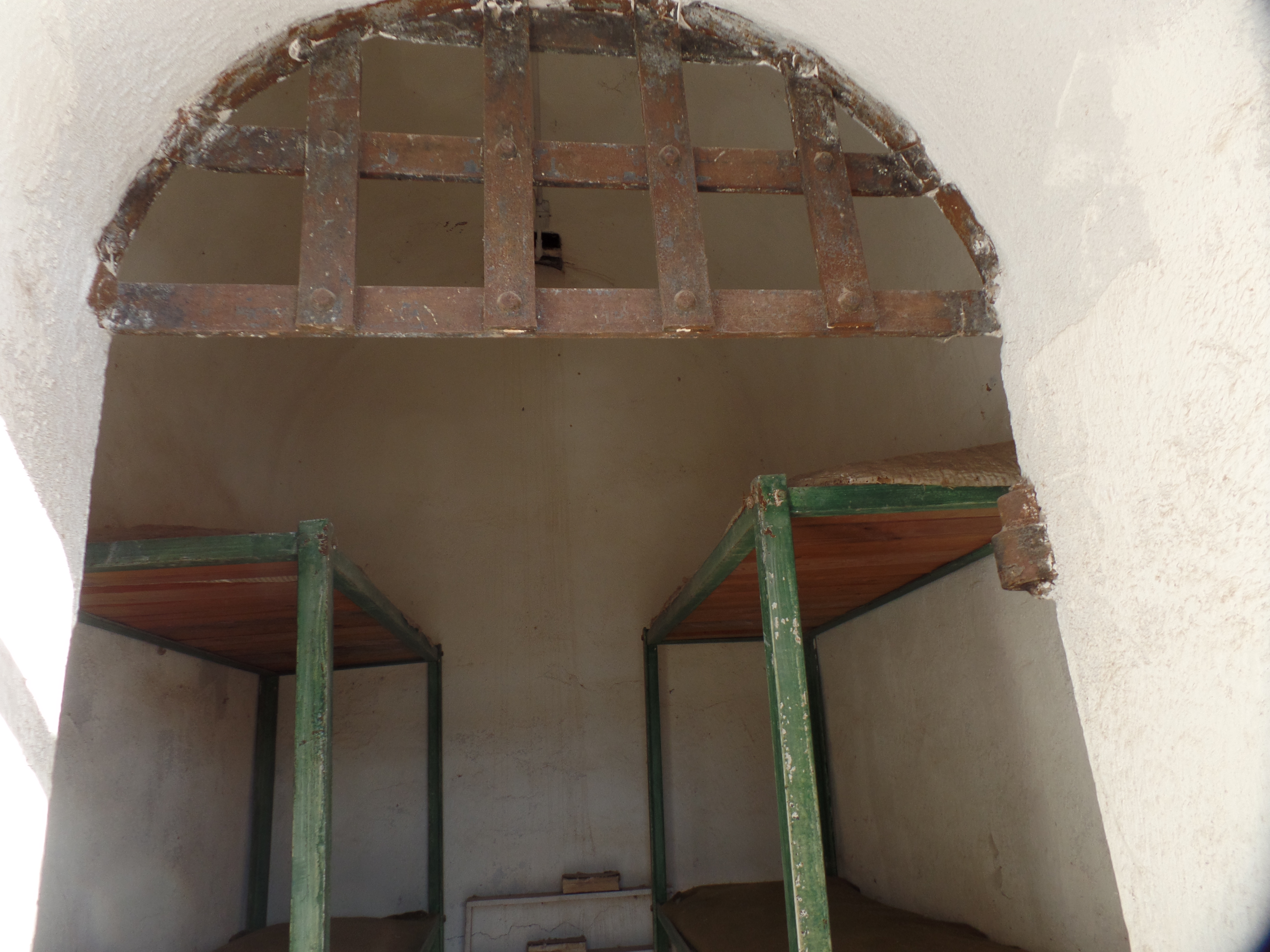
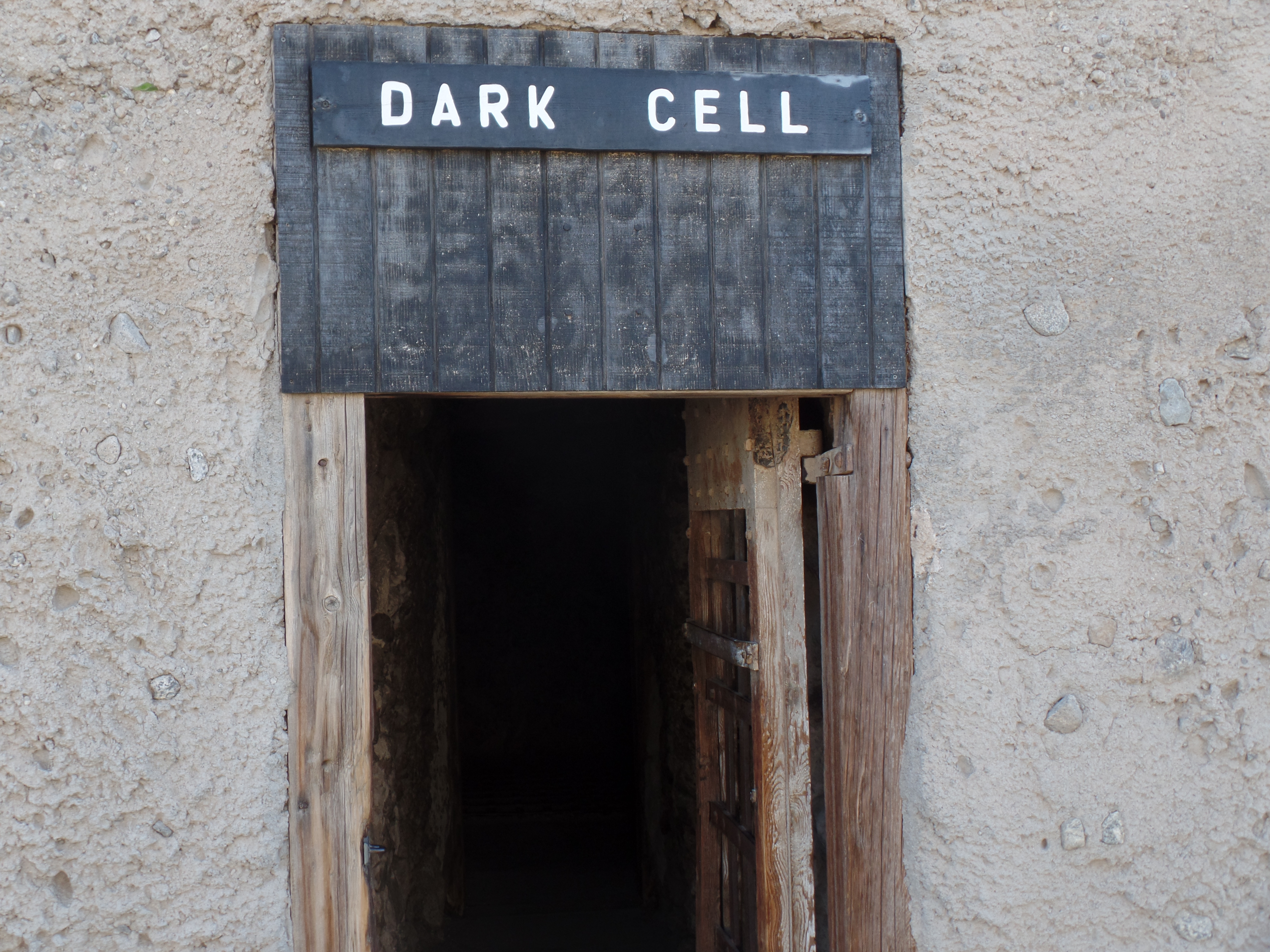
Men and women, Mormon polygamists and Mexican revolutionaries, white collar thieves and cutthroats-all shared this facility, at one time or another. The most famous of its  prison breaks, the Gates Riot  (October, 1877), saw Superintendent Thomas Gates taken hostage, one of his trusted inmates, Barney Riggs, come to his rescue and killed Gates’ attacker.  The would-be escapees went to the Dark Cell, Gates suffered the ill-effects of the attack for the remaining twenty years of his life and Riggs was eventually set free.

Here is a view of the main cell block.

SAMSUNG CAMERA PICTURES

Next, a couple of views of the typical cell.

SAMSUNG CAMERA PICTURES

SAMSUNG CAMERA PICTURES

These were the first bunk beds.

SAMSUNG CAMERA PICTURES

Finally, this is a view of the Dark Cell, the holding place of the most incorrigible prisoners.

SAMSUNG CAMERA PICTURES

In spite of appearances, the Yuma facility was progressive for its time. It had electricity, running water and was mostly operated with a rehabilitative, rather than a punitive, mindset.

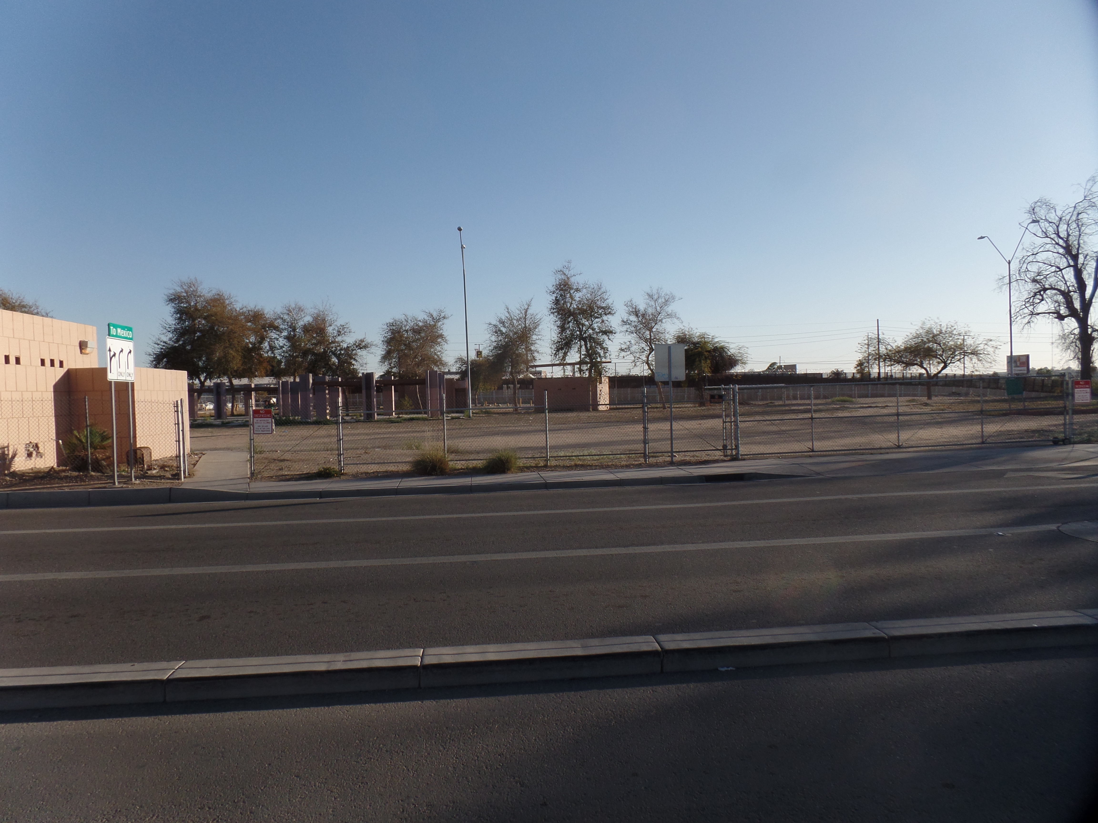
I left this city, for a forty-minute ride to San Luis, to take a brief look at the border crossing leading to the large Sonoran community of San Luis Rio Colorado. It was peak crossing time for day labourers, who were returning home.  In fairness, the barrier here looks nothing like the much-photographed Bollock sections, in other areas along the frontier.  I don’t much care for the fortress-like images being promoted as “necessary”, but the real barriers to human progress are in the mind.  This puts the onus for social change and justice squarely on those creating the barriers-both the antisocial elements whose actions generate fear and the reactionaries who fancy that building such structures will obviate any further efforts at rectifying the imbalances present in society.

Most of us, whether “liberal” or “conservative”, actually fall somewhere in the middle on this one.  I wonder how Thomas Gates, the reformer penologist, would have dealt with undocumented immigrants.

SAMSUNG CAMERA PICTURES

SAMSUNG CAMERA PICTURES


Fleeting Power

6

January 14, 2020, Peach Springs-

The Colorado River flows, past a point about ten miles from where I sit.  If I were to follow Diamond Springs Road to its terminus, I would be able to stand and witness the power of this still mighty flow.  The Colorado’s power helped to carve out the massive series of gorges that envelop it.  The Grand Canyon itself has an intense set of powers, all its own.

So, it is ironic, to the nth degree, that the people living in its midst have come to feel powerless, for much of their existence within the framework of the most powerful country of the past 1 1/4 centuries.  The Hualapai and their near neighbours, the Havasupai, know the Canyon more intimately than anyone, with the possible exception of the Dineh (Navajo).  Until about ten years ago, though, the Hualapai enjoyed very little of the economic benefits of the Grand Canyon’s drawing power.  The tribe has established a set of West Rim attractions-a Sky Walk, Eagle Point, and a rafting enterprise, as the Colorado can be accessed from a point on the Reservation.  There is also the comfortable Hualapai Lodge and a fairly well-stocked, if somewhat pricey Walapai Market.

I can tell people who feel powerless, from their language- an inordinate reliance on profanity and pejoratives as their means of projecting force.  The louder and more frequently a person curses; the more often someone is dismissive of people who are different from self, the more there is compensation for one’s own perceived irrelevance.

I’ve seen that, in many places-and I see it with several of the children with whom I’m working here.   That, alone, makes the 1 1/2 months I am likely to spend here, extremely urgent.  Not only building them up, but helping to establish a framework for long-term success, have to be primary goals.

Power derived from deception and intimidation is fleeting.  The Hualapai can no longer afford to rely on this means to power.

Changes of Scene

10

January 13, 2020, Peach Springs, AZ-

As I contemplated the rest of the 2019-2020 academic year, over Christmas-New Year’s Break, two things became evident:  1.  I wanted as many work days as I could arrange and 2.  It would no longer be advisable to turn down work that required a 7 a.m. start.

There are two semesters remaining, before I find my way in the retirement arena.  This one has no outstanding interruptions.  The next one won’t start for me, until September, as August will still find me on the road.

So, it was quite a welcome message that came, towards the end of Break, that the little school here, in  this Seat of the Hualapai Indian Community, some 120 miles west northwest of Prescott, needed a substitute- for an unspecified, but fairly lengthy, period of time.

The deal is, 7 a.m. is the start time.  5 p.m. is the end time, but kids leave at 3. So, all the grading and planning can, conceivably be accomplished during work hours-at least it worth a shot.  The work week is Monday-Thursday, which explains the long day.  Thursdays, substitutes get to leave at 3, so some of my Prescott business can still be done on Thursday, before 6.

Okay, that’s enough stream of consciousness.  My focus, on any day that I am here, will be on the well-being and advancement of people who will be the Guardians of the western reach of the Grand Canyon.  The Hualapai Nation has made some strides, in that regard, including the Sky Walk, from which one can gaze down into the Canyon’s west rim and a road to the Colorado River, on which Hualapai guides bring people to the bottom, without hiking or riding mules.  Although I prefer hiking, the opening of the Canyon, to those unable to walk far, is a plus.

Thus has 2020 already brought a change of scene.