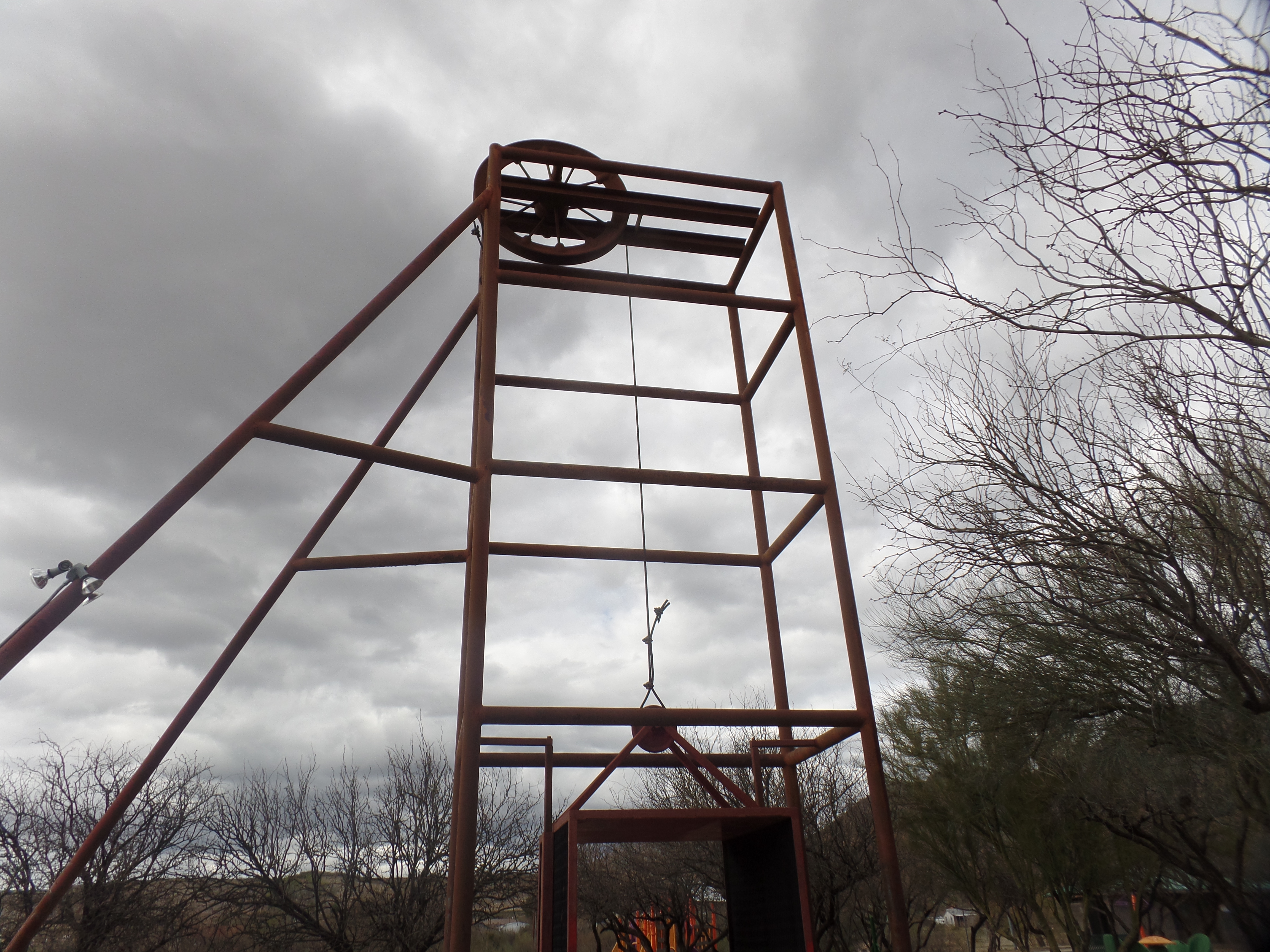
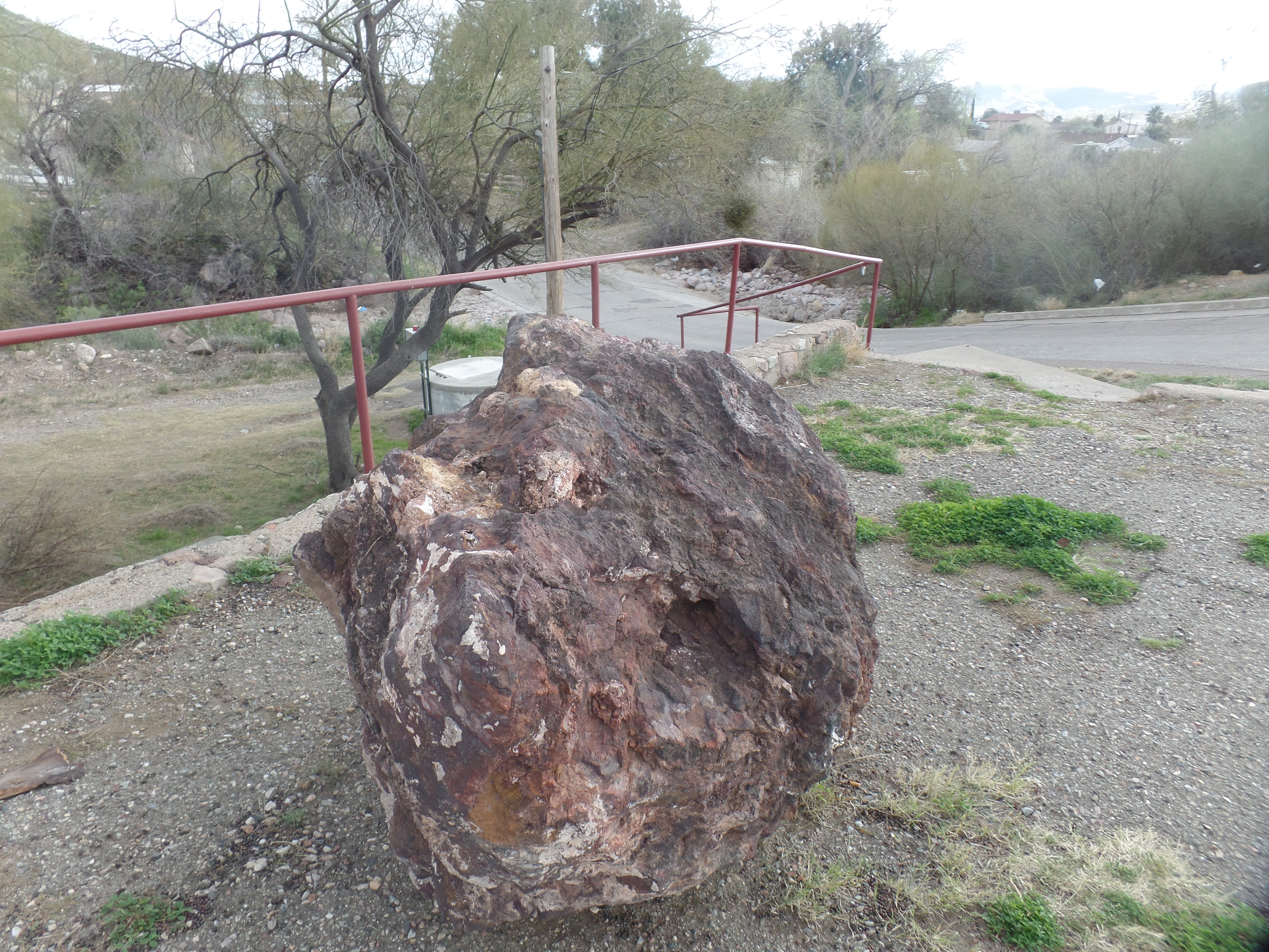
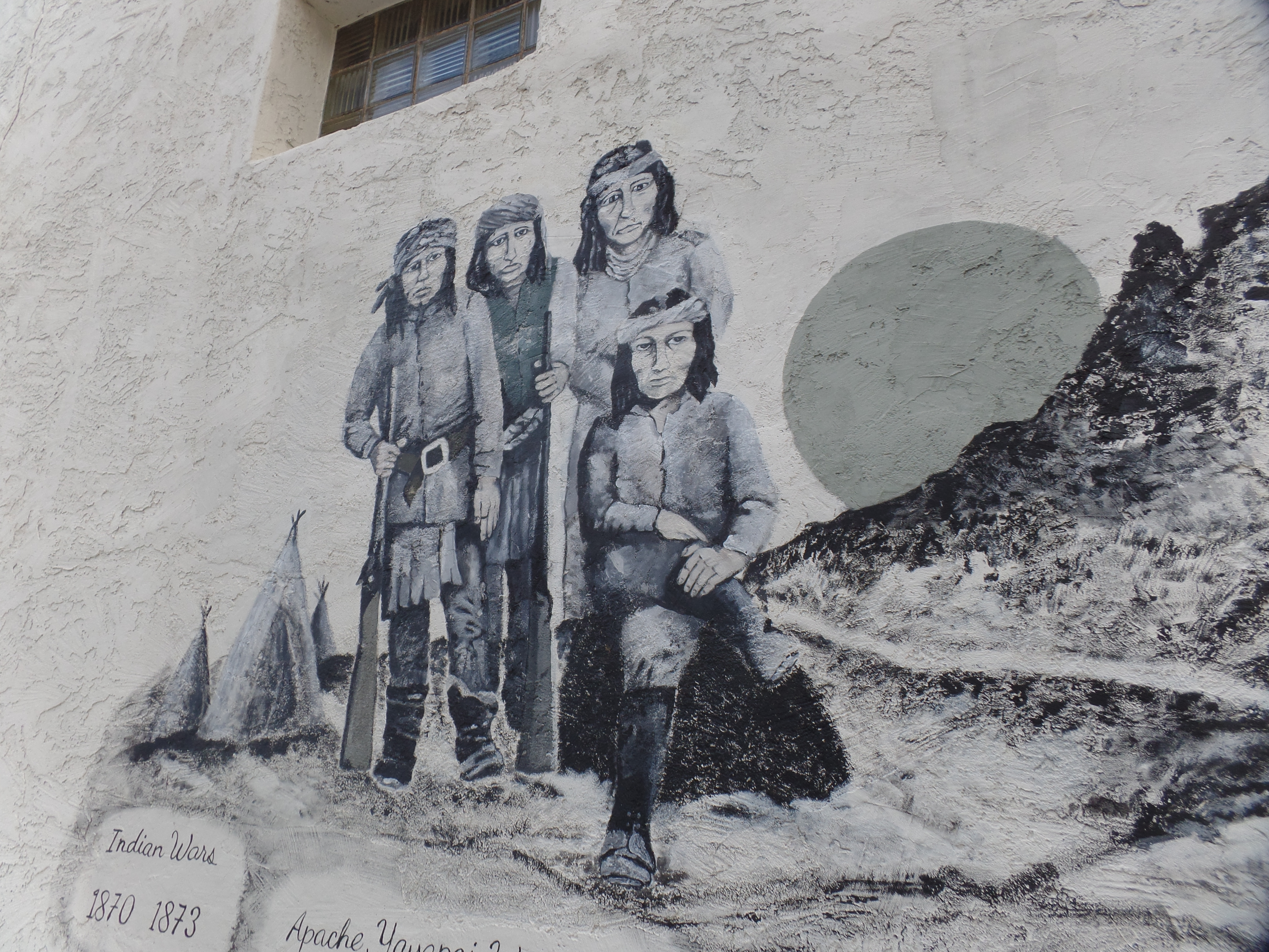
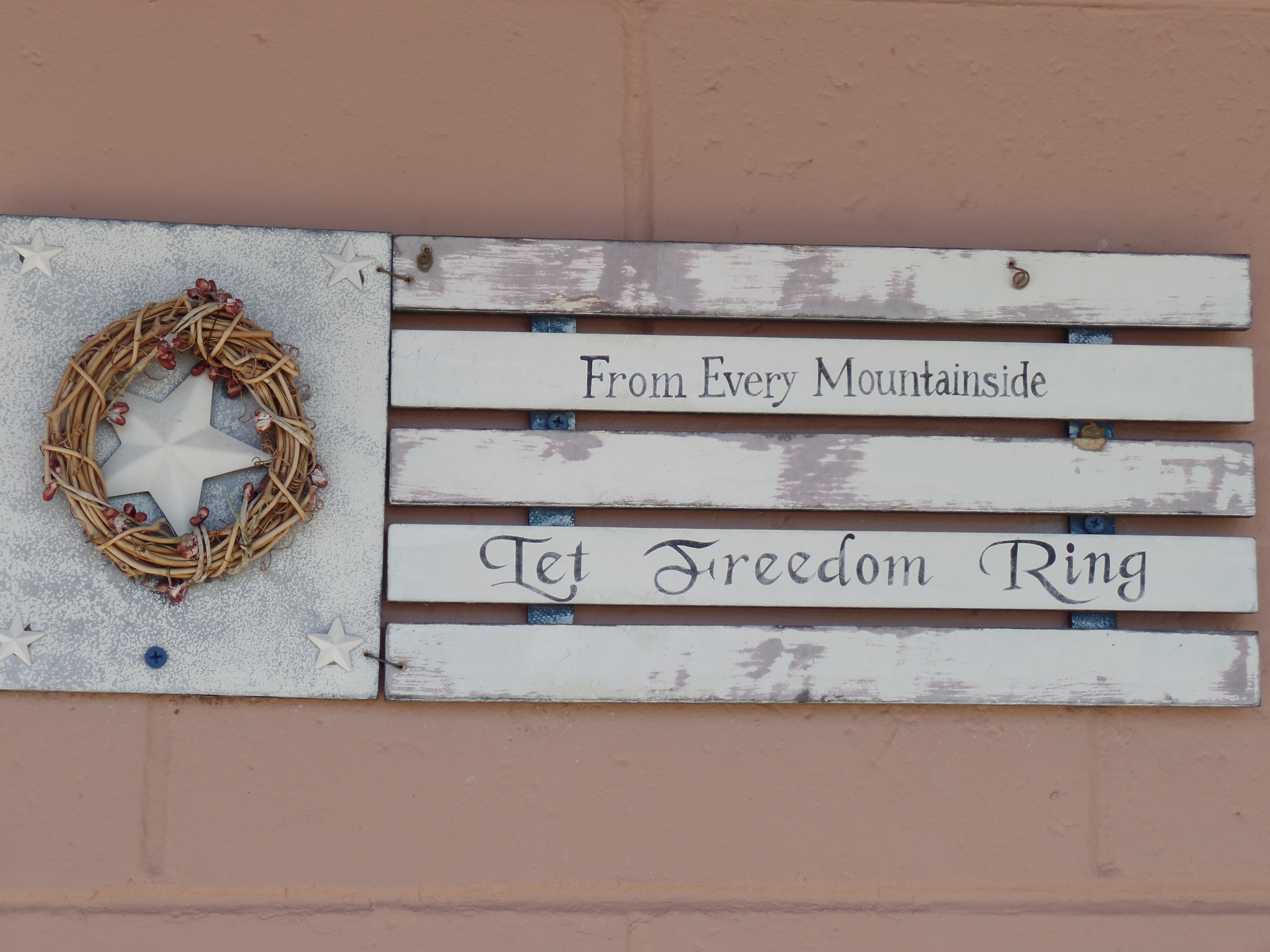
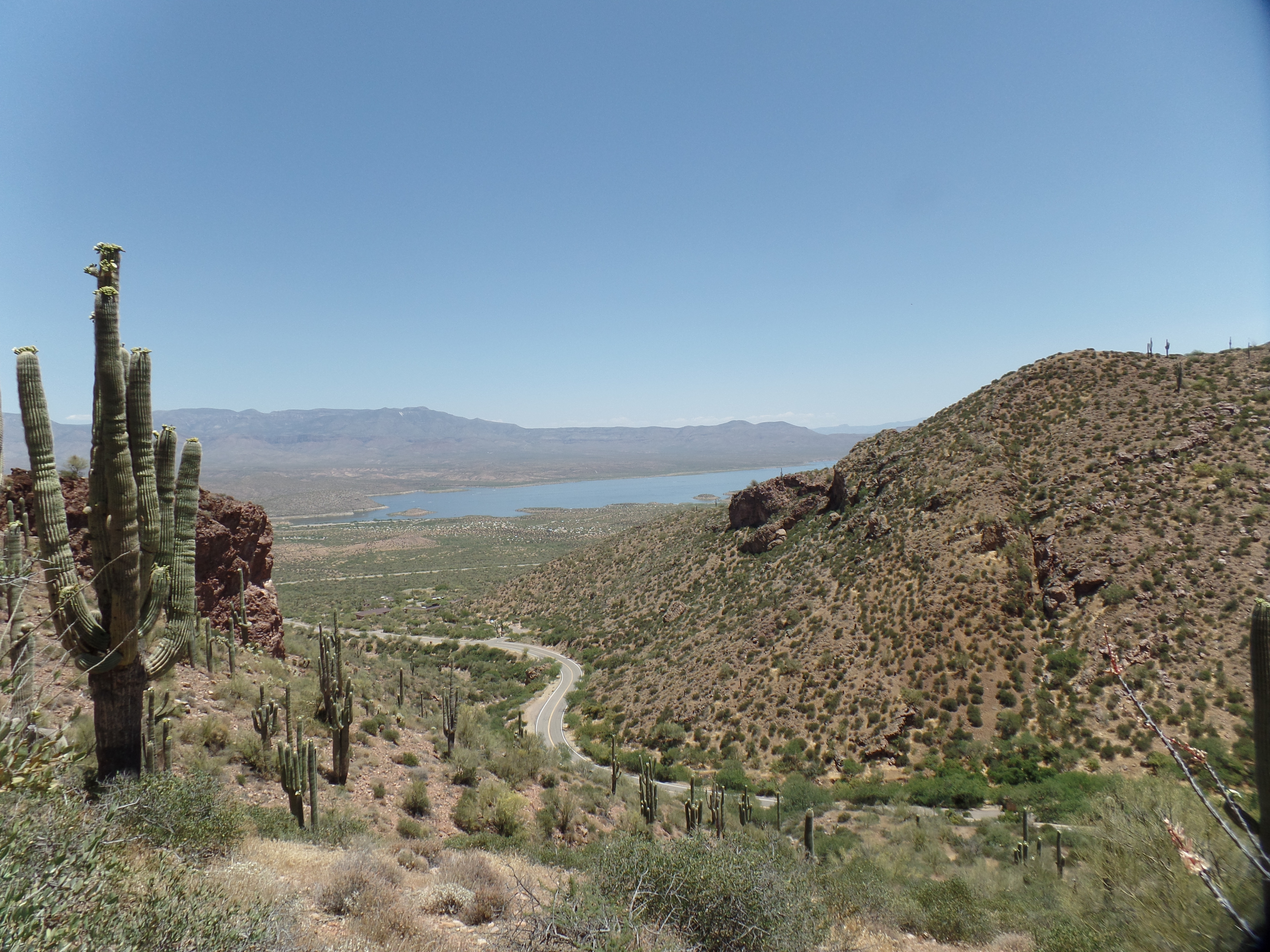
January 13, 2025, Superior, AZ- The Wolf Moon shone through my front window, keeping me company, as I read the morning paper, at Home Base I. Thirteen hours later, a sliver has darkened, and the night is quiet here, in the eastern foothills of the Superstition Mountains. The sub-range is also called Apache Tears Mountains, in reference to the gemstone that is quite common in these parts, and named for the tears of the survivors of warriors who rode their horses off a nearby cliff, rather than be captured. In reality the gems are flakes of obsidian.
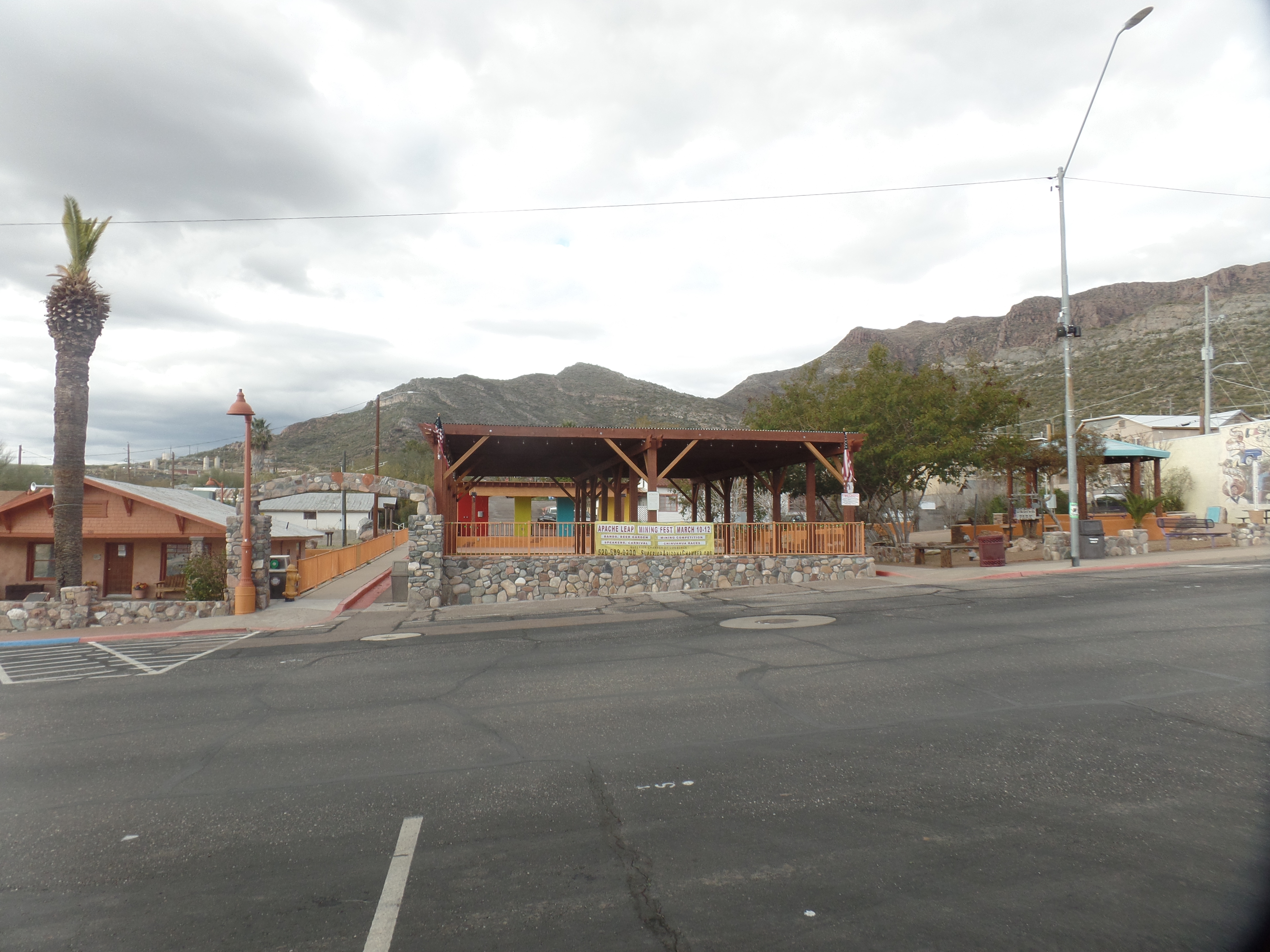
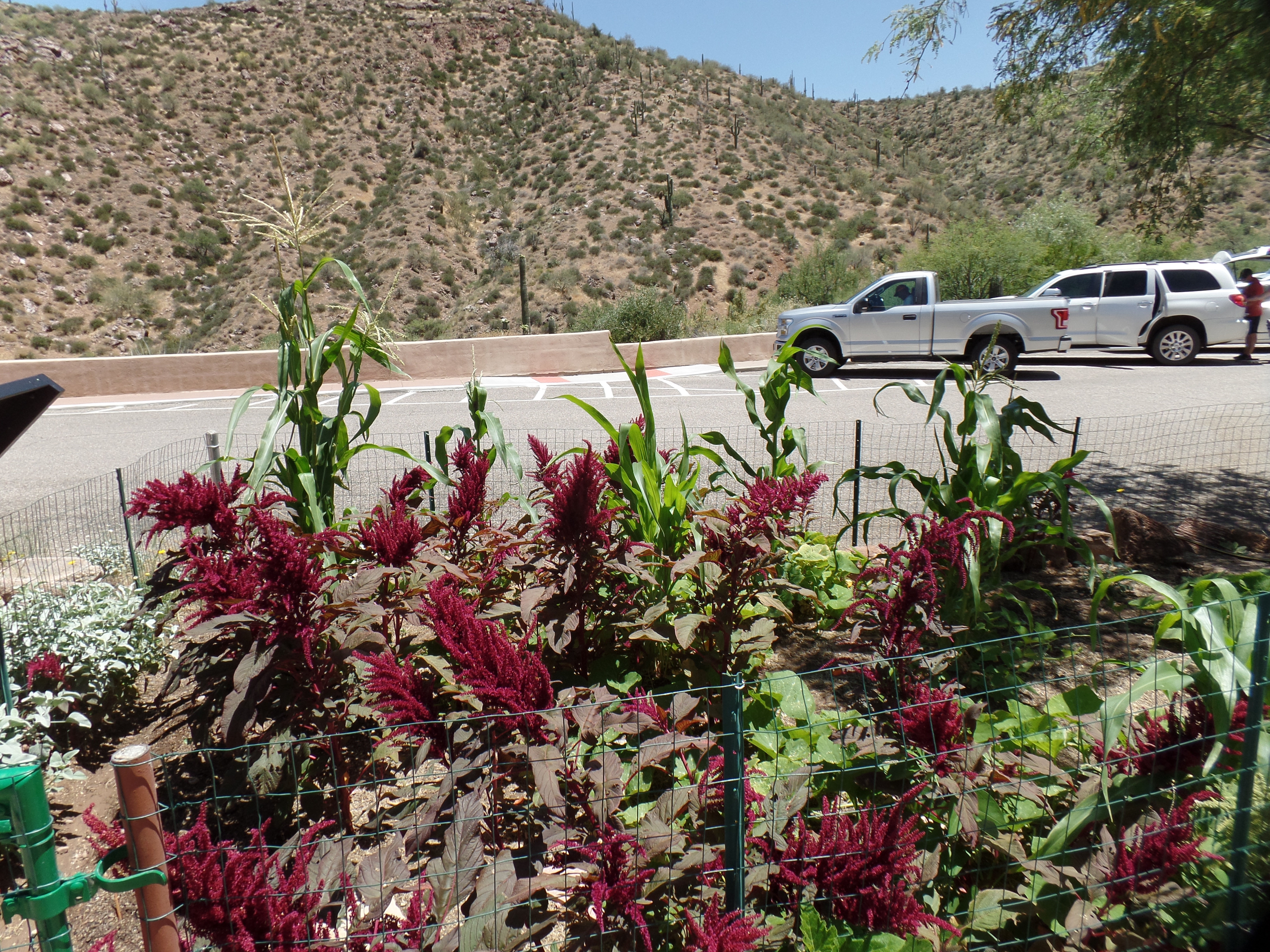
I am spending the night at Copper Mountain Motel, where I stay when visiting Superior. Usually once a year, it is a joy to spend a few hours at Boyce Thompson Arboretum or a nearby wilderness area. Main Street is also worth an early morning visit, for the shops and Victorian hotel that have sprung up in recent years. These might be tomorrow morning’s agenda.
Today started with the Monday morning coffee group, which saw all regular members arrive fairly early and solve the major problems of the world. We will repeat that process next week, as for some reason, the problems just don’t stay solved. If at first you don’t succeed……
After carefully packing, and listening to a full moon meditation, I drove towards I-17, stopping to pick up a supplement and connecting to Sirius XM, so as to keep tabs on the Los Angeles fire situation. The heartbreak will be long in abating, even if not another inch should catch fire. Whilst en route here, U.S. 60 found many of us inching along, only to note that a major pile-up involving five vehicles, had taken place. I was saddened to see four or five people sitting on blankets beside the highway and looking stunned. Eight people, including an infant, had to be sent to hospital. The pain goes on. In Superior itself, I stopped at the Arizona Rest Area, only to see signs that said the waterline for the facility had broken-an oblique connection to the Los Angeles blazes. Thankfully, there is no blaze at present in this area.
A positive energy is flowing here tonight. After another nice meal at Los Hermanos, a place I first patronized in 1979, I walked back to the motel and took in another two episodes of “The Chosen”, Season 4. The series about the ministry of Jesus the Christ has its unsettling moments, yet affirms much of what I believe about the nature of faith.
In light and darkness, energy is often what you make it to be.