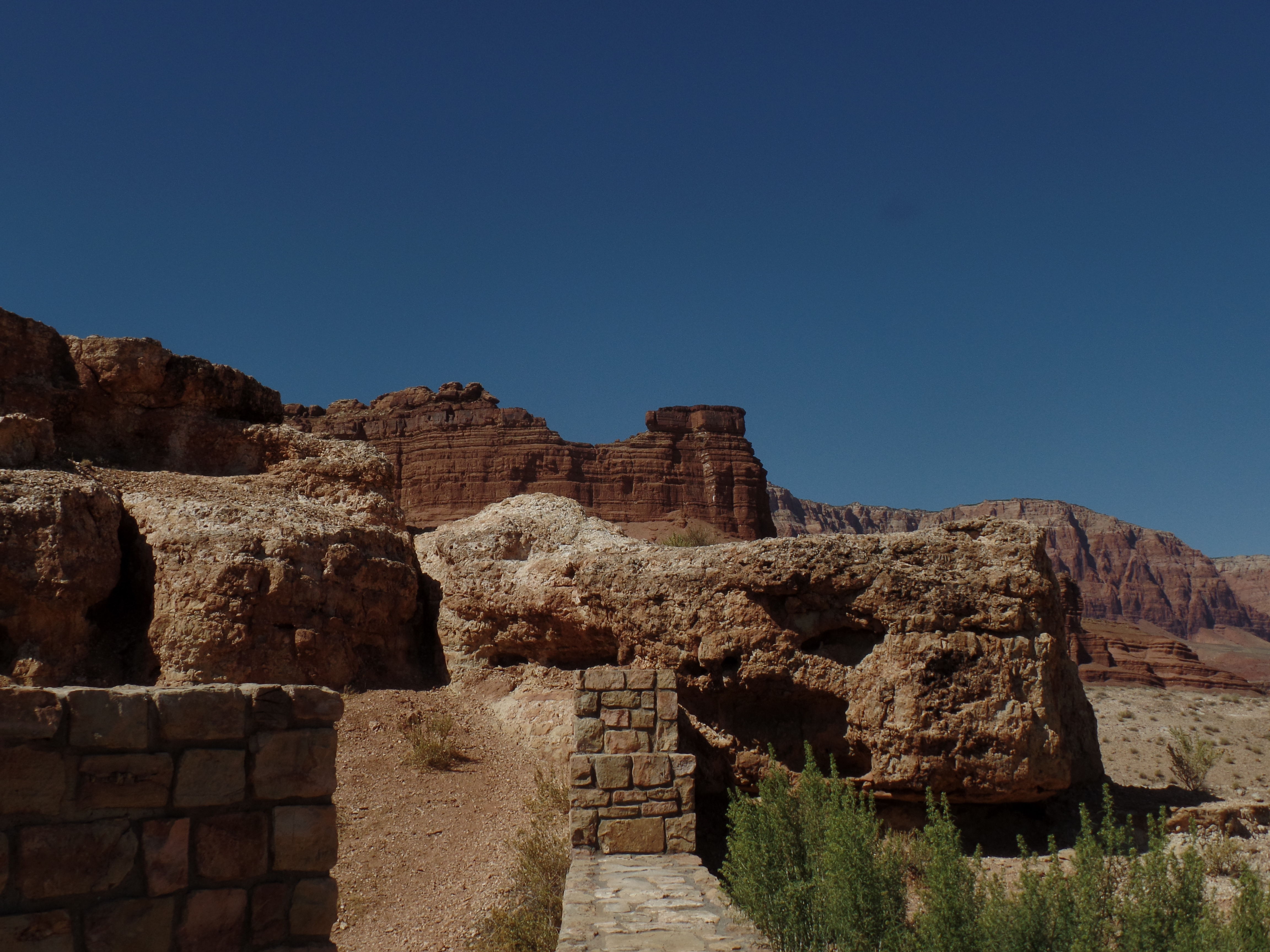
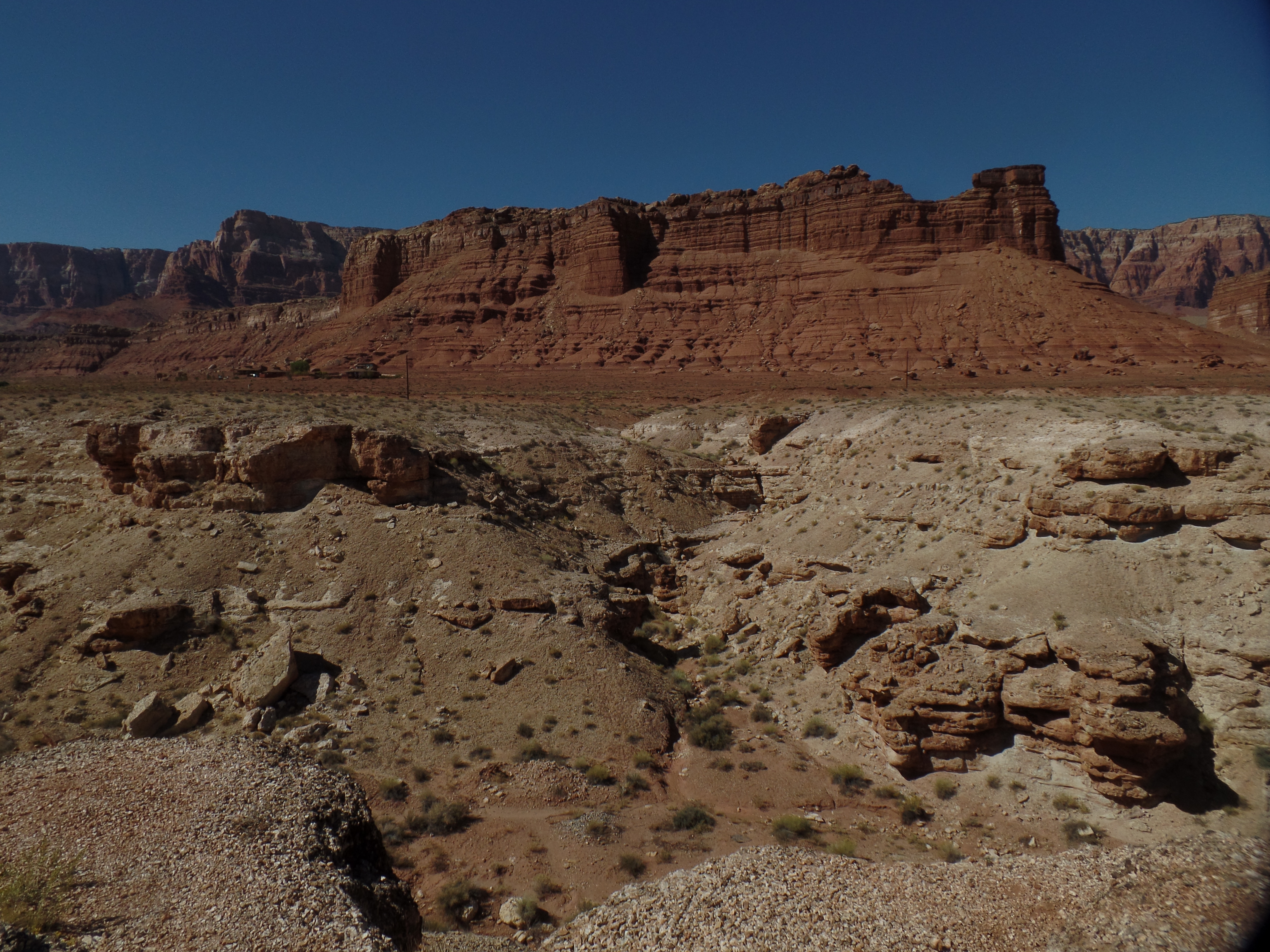
June 6, 2020, North Rim of Grand Canyon-
Of all things that get done in life, none exceed in value the homage paid to those who have gone before. As giving, to those in need, results in getting more of what oneself could use, so does paying respects, to those who have transitioned, bring more honour to the one paying the respects.
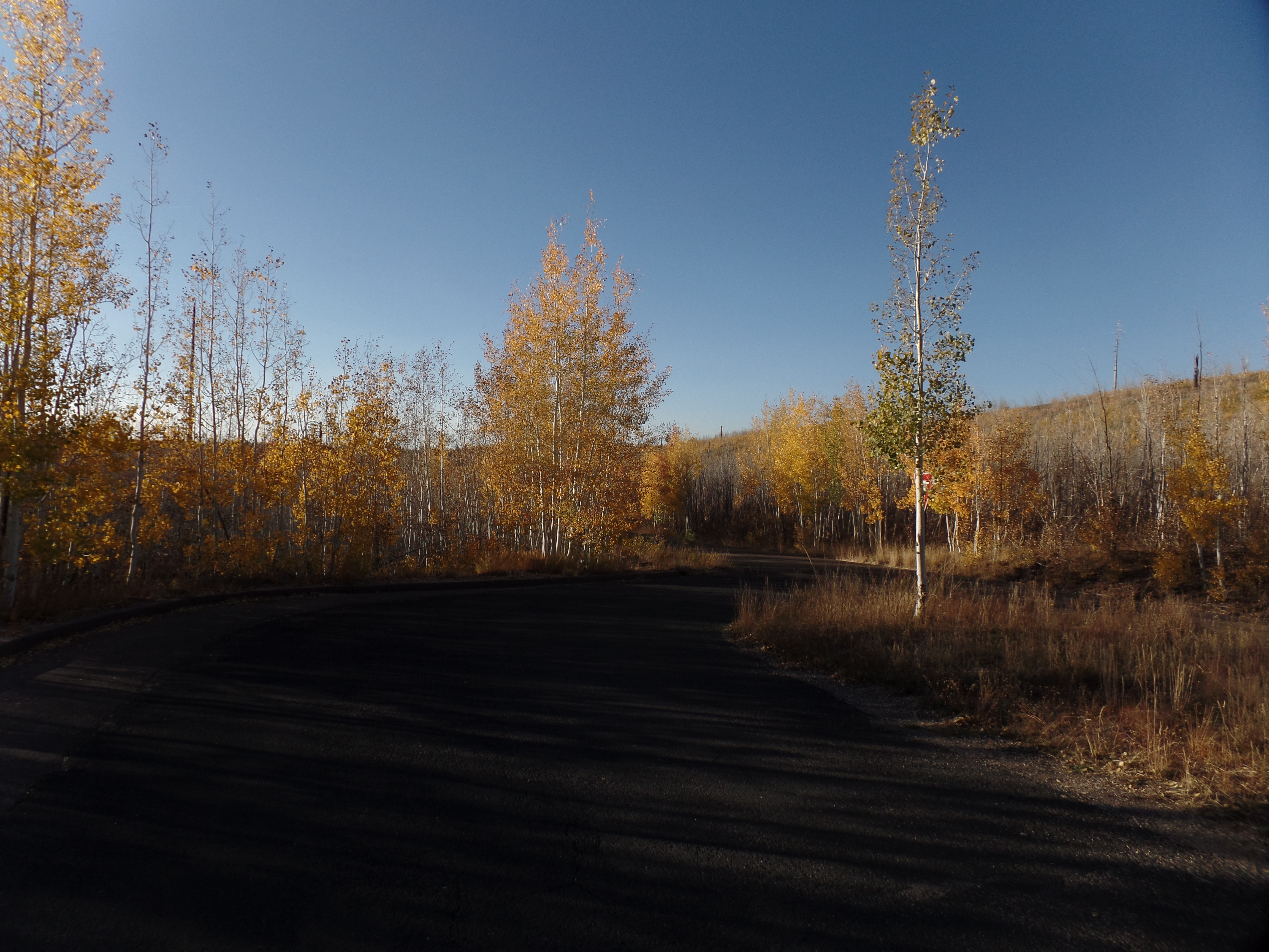
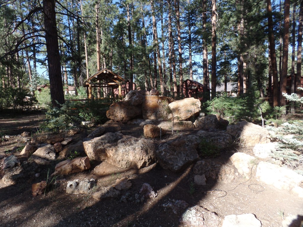
I was able to stay in a fine little cabin, a duplex, which I shared with a family of three, who kept to themselves. Jacob Lake Lodge has been built into a resort, of modest size, staying free from any ostentatiousness. It has a small, but quality, restaurant, where pandemic-based spacing is in effect, and of course, masks helped give a sense of health security, for both patrons and staff-when we weren’t eating or drinking, of course.

After hiking a “warm-up” trail, in search of the actual Jacob Lake, I found only an RV Park, and so returned to the resort, in time for check-out. Then, it was off to the Canyon!
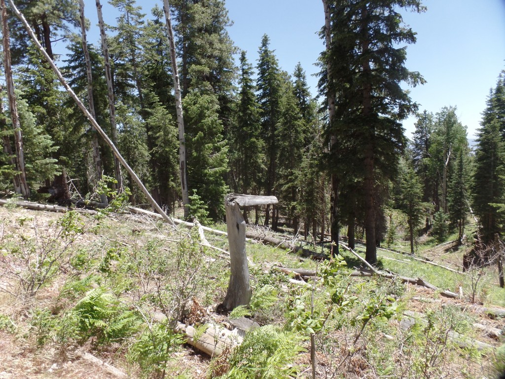
There is a plan being considered, that will result in a sizable amount of trees being cut, in Kaibab National Forest, along the road to North Rim. There is a huge amount of slash and burned-out trunks, left from previous fires and intense storms. To me, it would make the most sense to clear that mess, and probably would put a fair number of people to meaningful work, this month and next. As the trees under consideration are “old growth” forest, it is especially heart-rending to consider the unnecessary damage to the ecosystems.

After arriving at North Kaibab Trailhead, where the Elantra would rest, while I hiked, it took a short bit of checking the route, to make sure I din’t end up going down the North Kaibab Trail, itself. Ken Patrick Trail, a bit to the north of the steep big kahuna, would take me to Uncle Jim Trail. With the help of a thru-hiker doing the Arizona Trail, I was on my way, in short order. You can see from the sign, below, that Ken Patrick was dedicated to service with the National Parks.

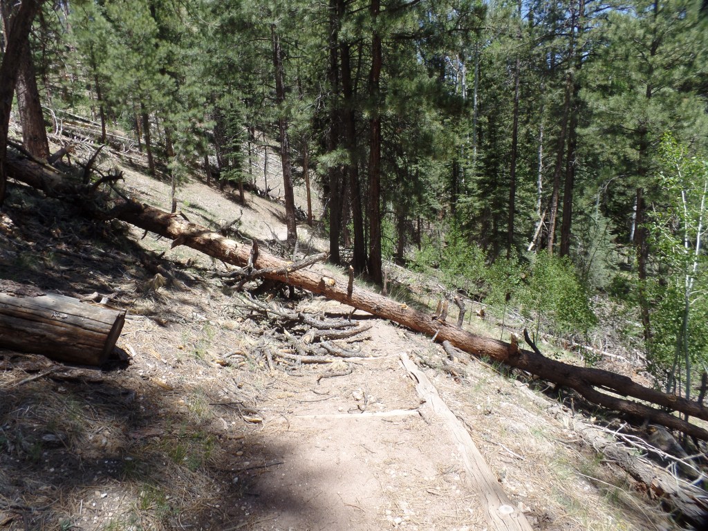
About 500 feet along the trail, a large ponderosa pine had fallen across the path, so I went up and around the mess. Three other trees would lie across the trail, at different points.
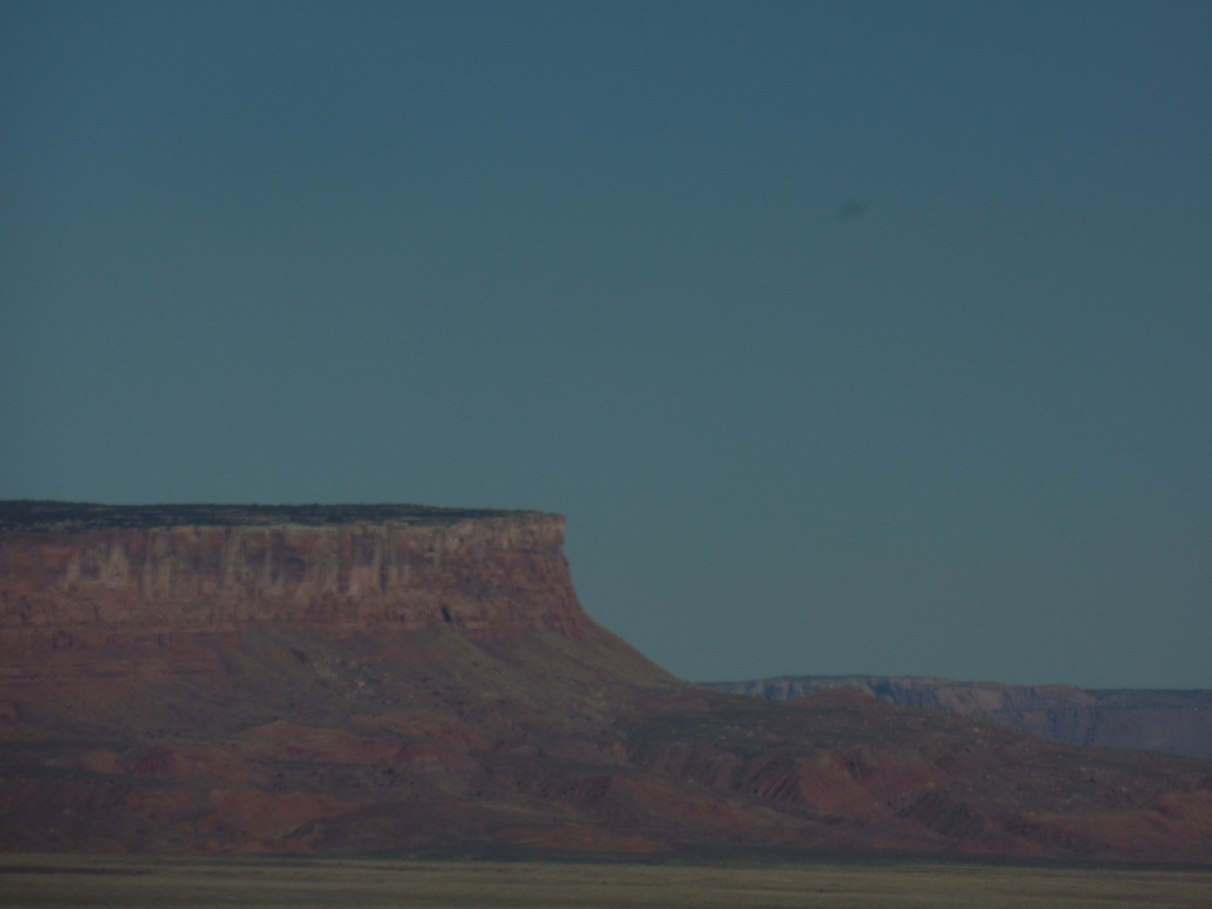
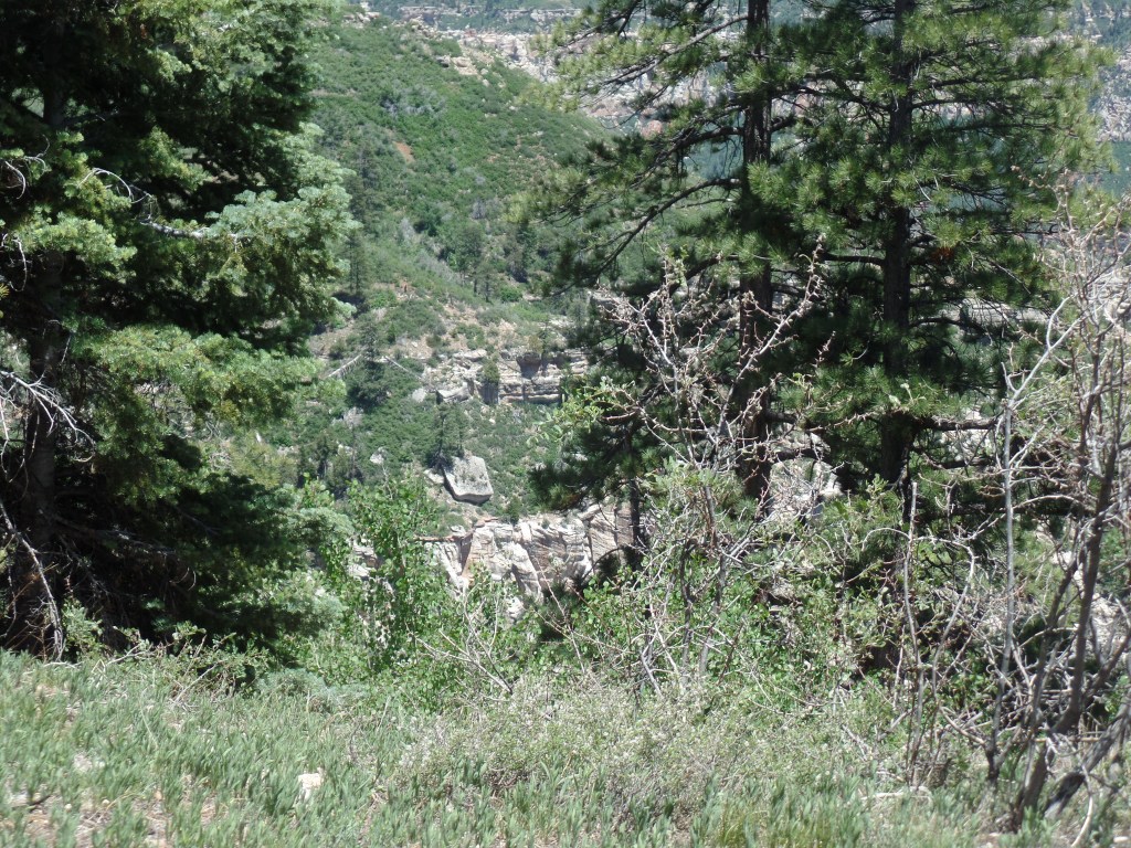
The first set of overlooks lies about 1/4 mile along the Ken Patrick Trail. This view mirrored what I saw last October, from the Bright Angel Point trail.


Nature leaves her little jokes, even at the expense of damaged trees.
Sooner than I expected, it was time to take a hard right.

The first segment of Uncle Jim Trail is four tenths of a mile. It is also the area with the most up and down inclines, and the only place where there are switchbacks, albeit mild ones. Two downed trees greeted us hikers, along this stretch, as well.

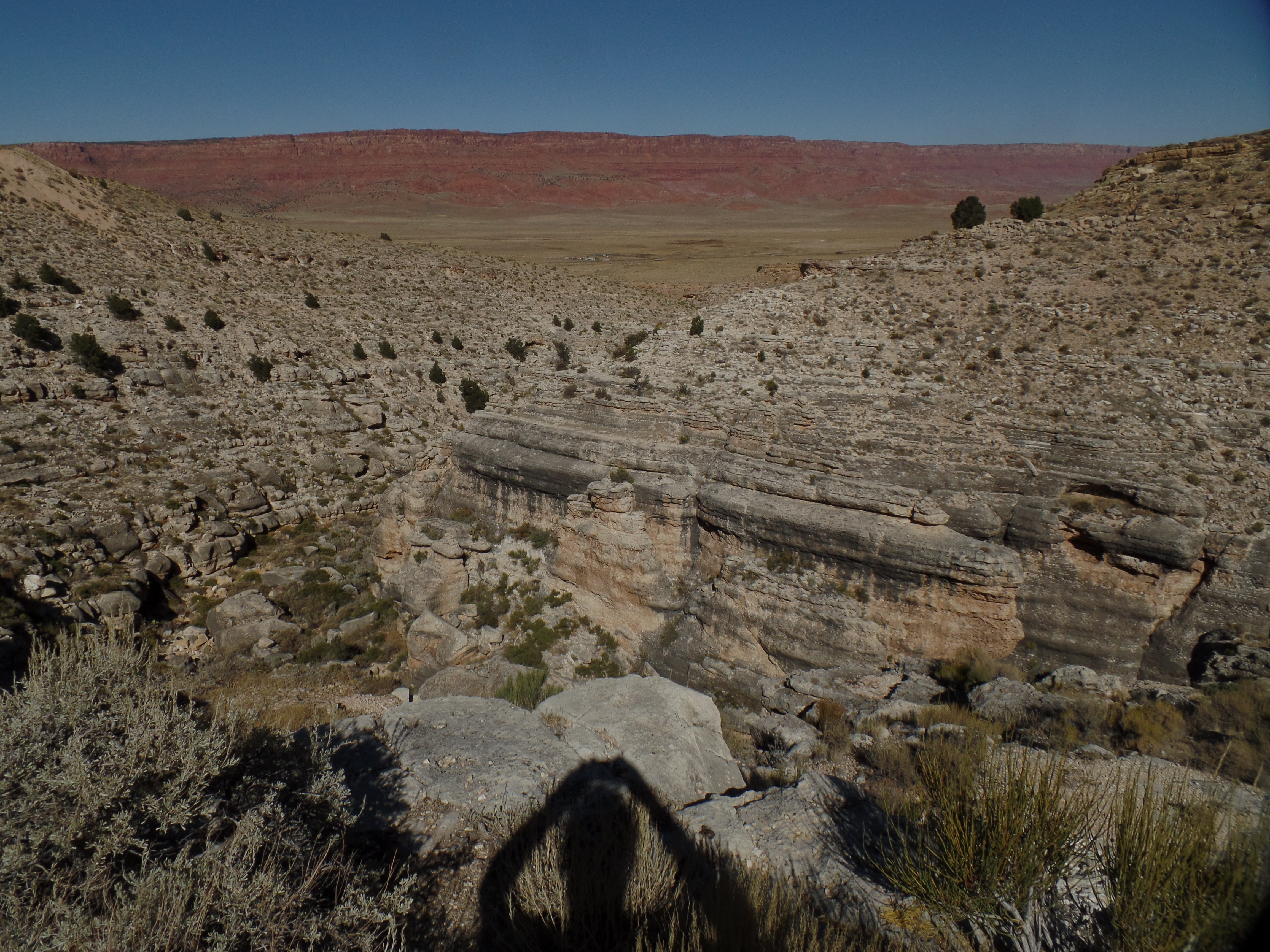
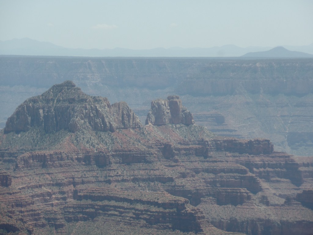
At 7/10 of a mile, along the western leg of Uncle Jim Trail’s 2.1-mile loop, I came to a series of fabulous canyon views.

Finding a heart-shaped rock, I placed it carefully against a small set of wood shavings.

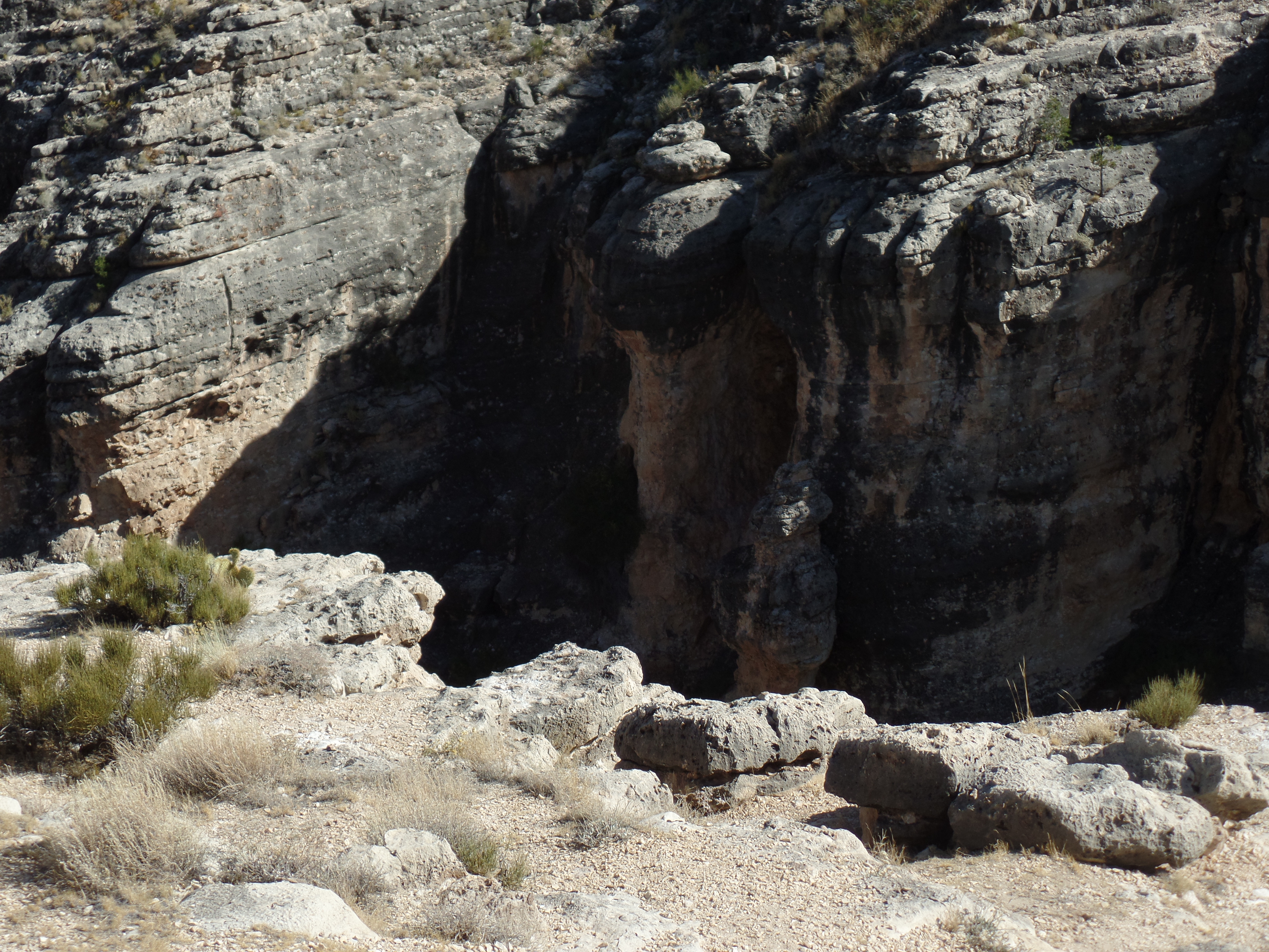
This natural eroded bowl could serve as an amphitheater.

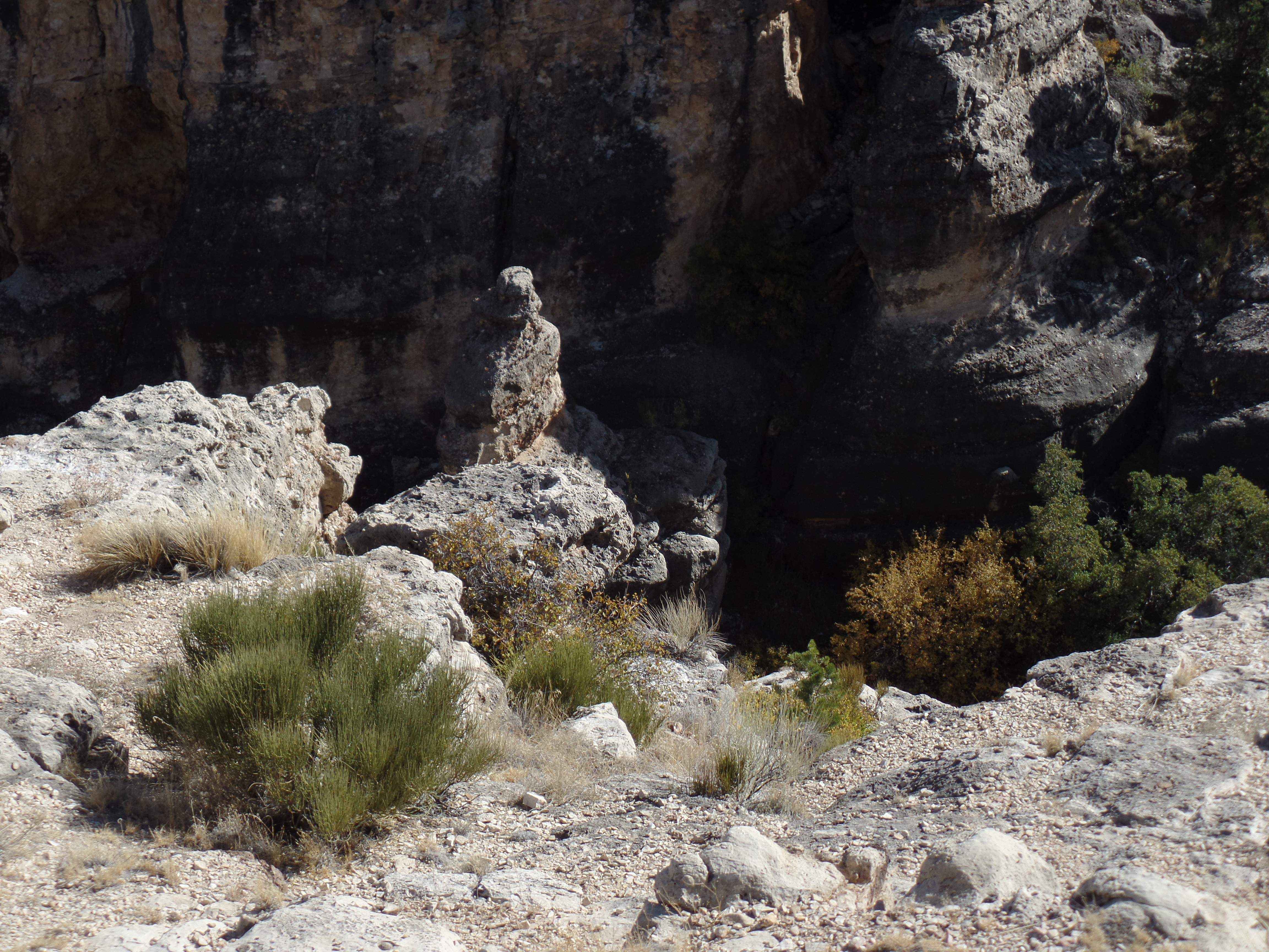
I came upon an unofficial overlook, east of the main viewpoint, and appreciated the two “guardians”, looking back towards the rim.
Looking out from this vantage, at Uncle Jim Point, I have a tripod to help me focus.

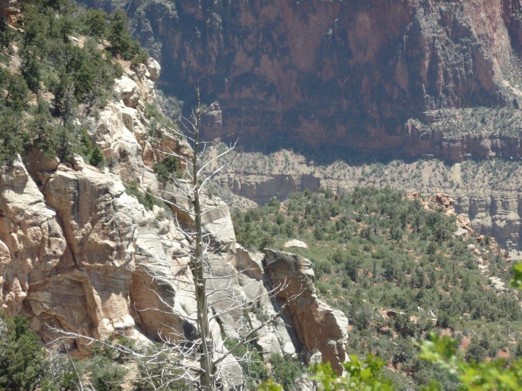
Heading out from this vantage point, I spotted a burnt ponderosa, which could serve as a memory pole, of sorts.

I spent a few minutes sitting on the landing of a restroom building, writing in my journal. As I did, a fierce gust of wind came up and blew my sunglasses off the landing. I looke for the shades, for about ten minutes, but to no avail. If that is my offering to the forces of nature, so be it. I have a feeling that the wind took them all the way to the rim, and over.
Hearing happy voices, I followed the tral to the main viewpoint. There were four women, a couple and me, taking one another’s photographs. Thus, a pyramid could be envisioned: Four at the base, two in the middle and one on top.
Here I am, courtesy of the “better half” of the couple.

With Uncle Jim Point in the background, I fulfilled a promise to myself and to his family.

With that, the two parties and I leapfrogged one another, on the way back, as each took rest breaks. We all missed the junction sign, going back on the Ken Patrick Trail by osmosis. I last saw the four women taking an extended photo shoot at the first overlook. The couple, it turns out, are from Santa Monica, and were enjoying their first venture out of town, since January.
So, my heart’s desire was fulfilled and I headed out of the Canyon, with a brief stop at North Country Market, for a well-earned salted caramel latte and a long, but smooth, drive to Flagstaff.