The Cost of CC&Rs

4

June 7, 2022- I read an article, a few minutes ago, about Great Salt Lake being in danger of becoming Great Salt Lick. In my lifetime, Salton Sea, Aral Sea and Arizona’s own Stoneman Lake have virtually disappeared. I have seen huge salt licks in Nevada, which, though tourist-sites on their own, do not provide sustenance to those who live nearby. They used to be part of Lake Lahontan, which is still large, but not the behemoth it once was.

The lake, though, is not what drew those whose choices are endangering it. They came for the mountains-the Wasatch Front, which borders the Salt Lake City-Provo-Brigham City metro area on the east. They are often forced by Homeowners Associations to use exorbitant amounts of water, to maintain the green lawns which the HOAs and their attorneys regard as essential to maintaining property values. Yet, here’s the rub: The very people on whom these lawyers depend for their communities’ survival will move, maybe en masse, if the lake is sacrificed for the grass AND the toxic soil that is left behind becomes windblown, creating the sort of haboobs that sometimes torment Phoenix and its eastern and southern suburbs. The difference is that the Salt Lake bed contains huge amounts of arsenic, which would be blown eastward, into the lungs of HOA directors and tenants alike. HOAs in the Phoenix area long ago began transitioning to xeriscapes in their neighbourhoods’ yards. My guess is that Utah, being also largely in a desert environment, will have little choice in the long run, but to do the same.

Then again, there are those bottom lines to consider.

The 2018 Road, Day 4: Not So Lonely Highway

5

May 30, 2018, Salina, UT-

20180531_093348[1]

She was not happy that I left, before she got out of school.  I sent a message that I would try to return, weather-permitting, during the winter holidays.   There are souls who I have known forever and souls with whom I have found a bond, almost instantaneously, in this lifetime.  B is of the latter category.

Some could say it is tricky, for a man in late middle age and a child, especially a girl, to be thus bonded.  There is no skeevy factor, no EEEEWW.  I am here strictly to foster a very keen mind, to stoke dreams that will someday raise at least one person’s section of the world to a whole new level.  My friend J.R. Cline knows of what I speak.

I made the drive east, along U.S. Highway 50, whose Nevada portion is billed as “The Loneliest Highway in America.  It was too soon after breakfast to stop at Susie’s, so I went past Fallon.  Lake Lahontan also seemed to be at or near the same level as last year, so no stop there, either.  In the usual spot at the base of the mountain leading up to Pony Canyon, and Austin, there was another stranded vehicle, as was the case last year.  This time, the couple were headed west and had already called a tow truck.  I continued on, and enjoyed a simple, but satisfying burger and cup of soup at Toiyabe Cafe.

Through the Toiyabe, past Eureka, through Ely, I went.  Silver State Restaurant, which I patronized two years ago, has gone belly-up.  That’s a big hole, on Ely’s west side.  I wasn’t ready for dinner, though, and I was planning on enjoying my salad greens, anyway.

After briefly checking out the nearby town of McGill, I headed south and east.  That brought me here, to the veteran-owned Ranch Motel.

20180531_084520[1]

So, here will begin Day 5, and I will get at least as far as the Front Range, on the never-lonely I-70.

Sixty-Six, for Sixty Six, Part XLIV: The Great Basin Road

7

July 5, 2017, Moab-  

(This is the first of several backdated posts from Road Trip 2017.  I will be in a place with spotty WiFi, over the next few days, and family time comes first, so this series will be slow in posting.)

It’s always tough to leave loved ones behind, but life must go on, and nowhere does it go on better than in America’s Outback.  The Great Basin is largely the bowl left by Lake Lahontan, and other large bodies of water, remnants of one huge sea, that once occupied our continent’s mid-section.  The present Lake Lahontan is quite impressive, actually, with the seasonal rains having been copious here, as elsewhere in the West, this past winter and spring.  I took about a half hour to visit the lovely giant.

SAMSUNG CAMERA PICTURES

SAMSUNG CAMERA PICTURES

SAMSUNG CAMERA PICTURES

Much more was above water, this time last year.

I drove past the salt flats and noted they looked a bit browner than usually- another consequence of extra moisture.  At the foot of the Toiyabe Mountains, I came upon a forlorn looking man, whose jeep had just discharged a fair amount of water.  My jerry can took care of that aspect of the matter, in short order.  After, I followed him a short distance towards Austin, the nearest town, he told me to go on ahead, as the issue may have been the fuel pump, and he wanted to give it some rest.

It is a fair uphill, from the salt flats to Austin, so I informed the dispatcher, at Lander County’s office, of his issue.  After lunch, in Toiyabe Cafe, on Austin’s main drag, I noticed the town’s only flatbed tow truck was headed out, in his direction.  The ladies at the Cafe said the sheriff is most diligent about NOT letting stranded motorists wait too long.  That’s one of the fine things about people in remote areas:  Most everyone is a Good Samaritan.  T\

Toiyabe Cafe has some great eats, also.  Since my only beer is “near”, I guess I could wait.

SAMSUNG CAMERA PICTURES

There’s no bush meat available, though, but who wants to eat a carnivore, anyway?

SAMSUNG CAMERA PICTURES

I drove on and on, determined to make Utah’s sandstone country, by bedtime.  So, on past the Great Basin National Park, various other salt flats, the lovely towns of Eureka, Ely, Delta(UT), Salina and Green River, the Hyundai blazed.  Rooms in this bustling town were, of course GONE, by the time I pulled in, so a few miles down the road, in La Sal, I found a rest area/makeshift campground, guarded by this great sandstone:

SAMSUNG CAMERA PICTURES

Since the people parked in the foreground made themselves at home, camp-style, I did likewise.  Things are relaxed (24-hour limit), in the Beehive State.

NEXT UP:  Wilson Arch, Bluff Fort and an errand accomplished.

Highway 50: Loneliness Is All In The Mind

2

June 2, 2016, Ely-  Sitting in the spare, but comfortable Silver State Restaurant, in this little anchor-town of the White Pine country of eastern Nevada, I had a bit of time to reflect on “America’s loneliest highway”.
I got on U.S. Highway 50,  in the eastern edge of Carson City, around 10:30 this morning, saying goodbye to my Baha’i sister, and her new home across town.  Gradually, the wonders of the Silver State itself unfolded:  The exit to Virginia City, the Comstock Lode historic site of Dayton, and the small commercial hub of Fallon, which serves as the western anchor of the so-called Lonely Road.

Fallon was rather quiet, on this first of many hot days to come.  It did have its share of business, though, and some of that filtered in to Susie’s BBQ, where I stopped for lunch.

SAMSUNG CAMERA PICTURES

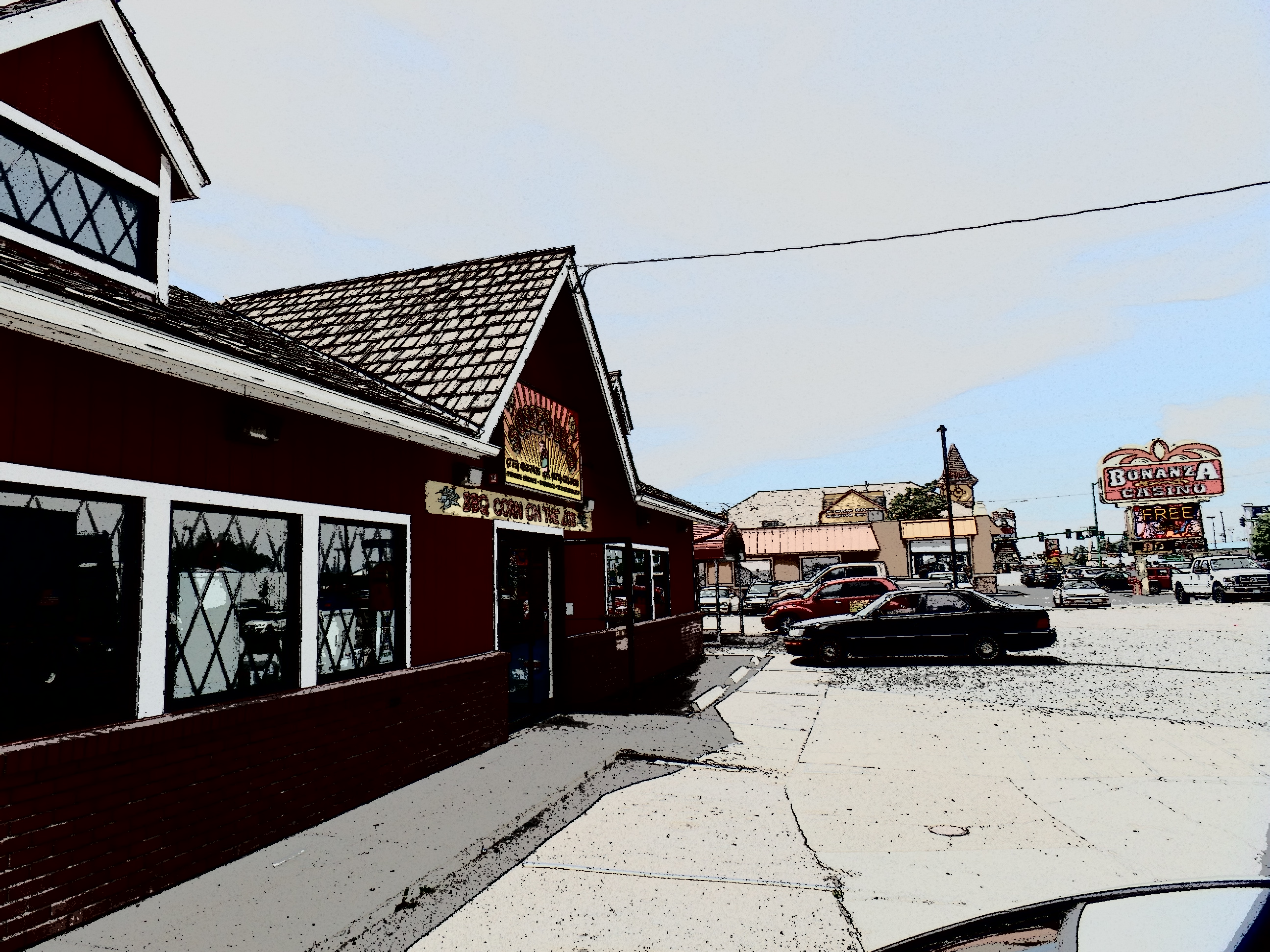
Susie’s BBQ, Fallon, NV

I opted for brisket, as it was not really a sausage kind of day.  A Big Heat has taken the West under its wing, probably for the next seven or eight weeks, so we move, eat and adjust accordingly.

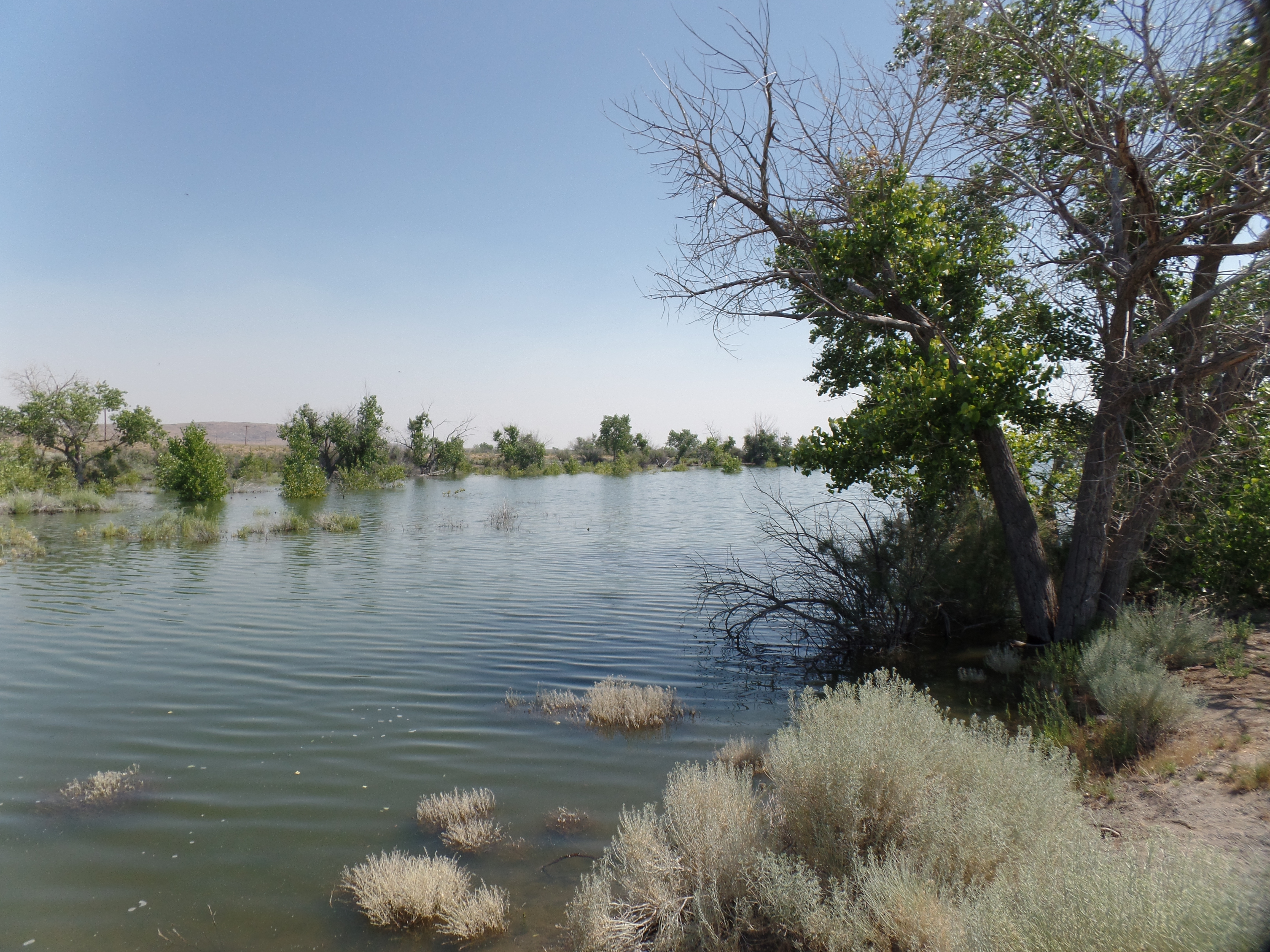
On my last ride across Highway 50, in 1980, my driver pointed out an expanse of salt flat, a remnant of ancient Lake Lahontan.  This was a massive body of water, stretching from the Sierra Navada to the Toiyabe Range.  Its remnants include the much smaller Lake Lahontan, east of Fallon, plus Lake Tahoe, Mono Lake and Pyramid Lake.  I did not, given the nature of my visit, go to any of the three western lakes, and there is intensive road work around the present Lake Lahontan.  Thus, here are some surrealist, filtered scenes of the Carson Lake Salt Flats.

SAMSUNG CAMERA PICTURES

SAMSUNG CAMERA PICTURES

SAMSUNG CAMERA PICTURES


SAMSUNG CAMERA PICTURES

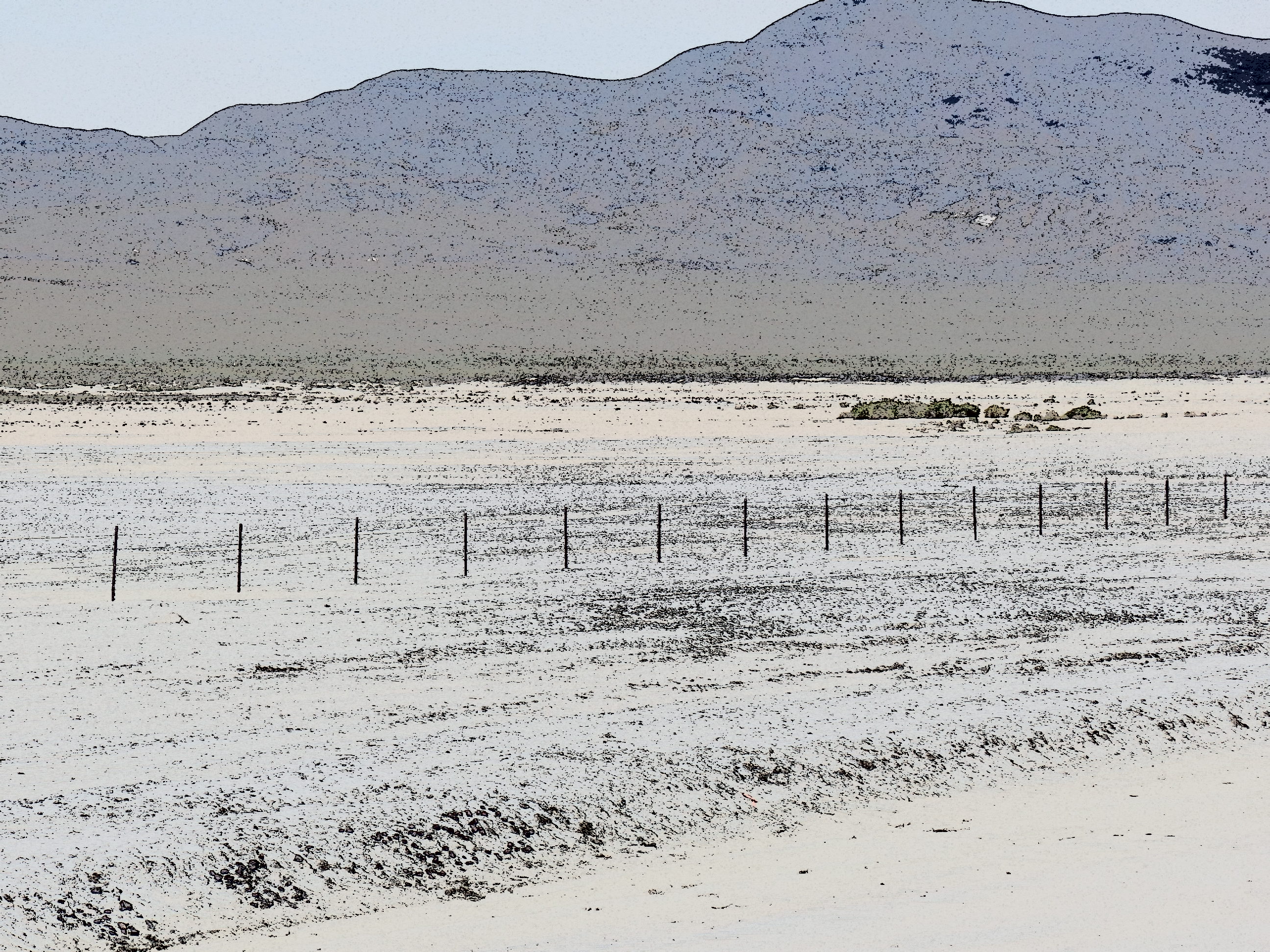
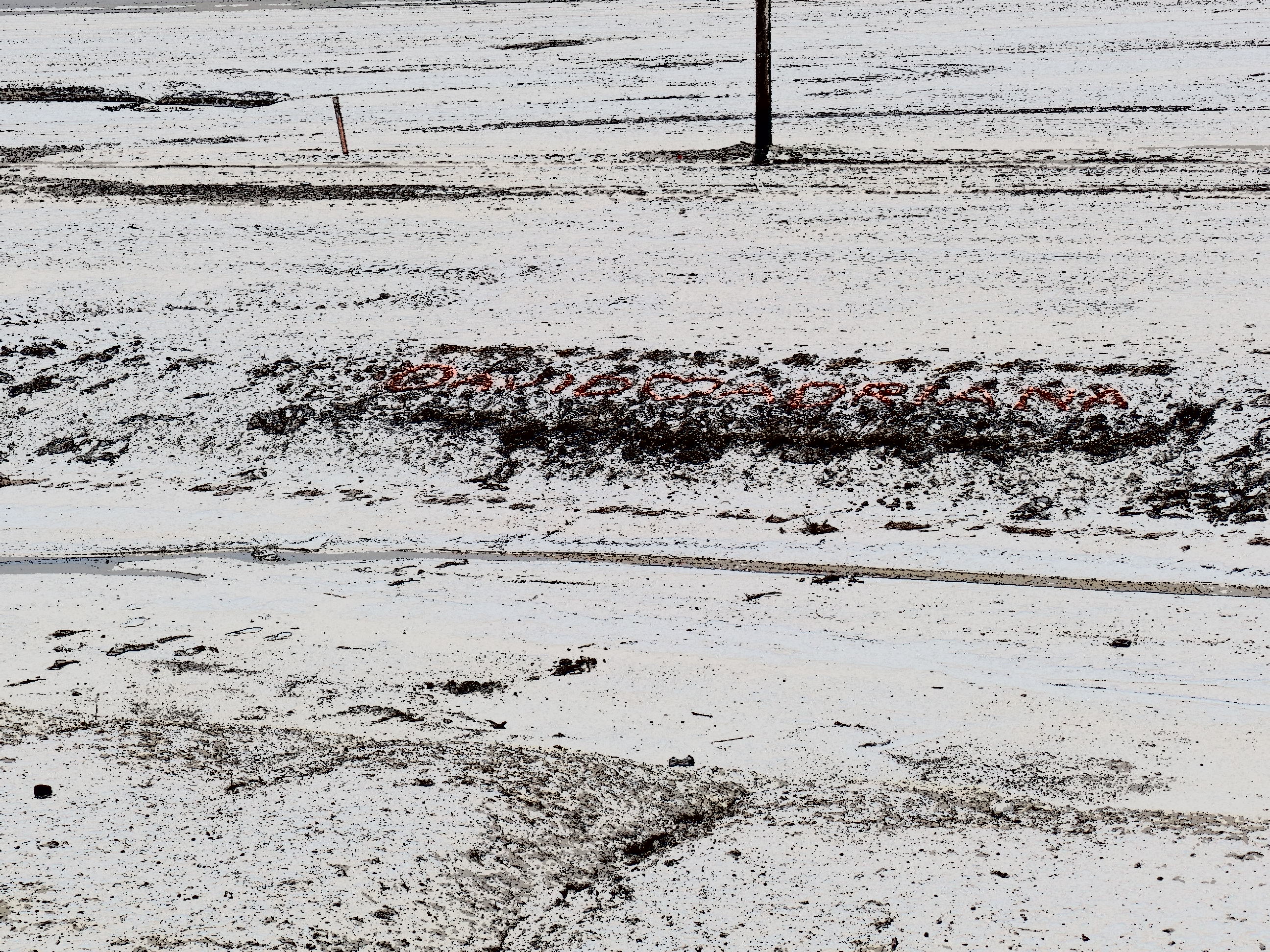
Notice there are some graffiti, inscribed by local lovebirds and various passers-by, who find romance in the desolation.

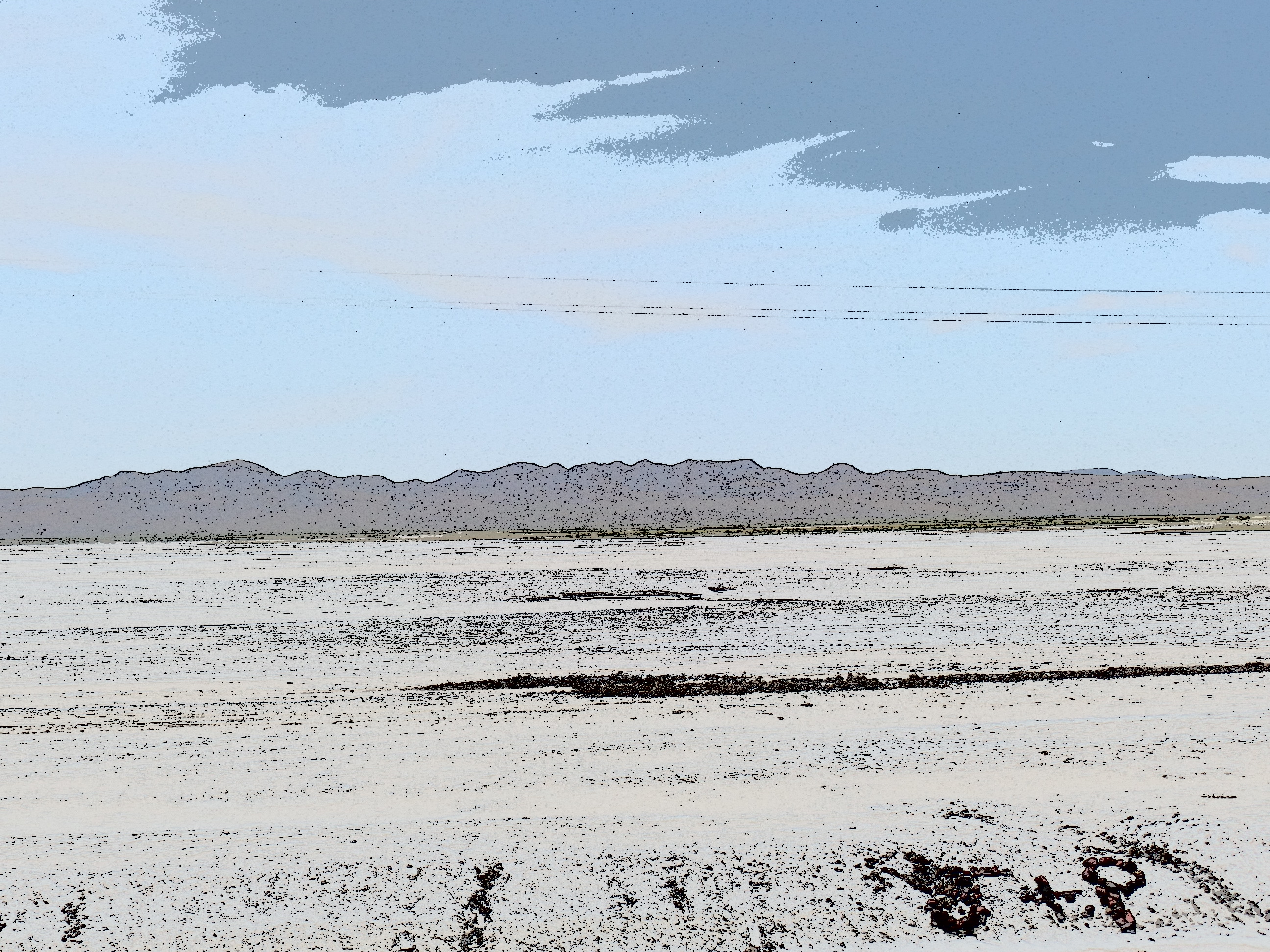
My next focus was on the Toiyabe Range, one of three mountain ranges that stretch north to south, in central Nevada.  The Toiyabe and White Pine mountains, like the Sierra Nevada, are still somewhat snow- packed on their summits and high ridges.

SAMSUNG CAMERA PICTURES

Toiyabe Range, central Nevada

SAMSUNG CAMERA PICTURES

Toiyabe Range, Central Nevada

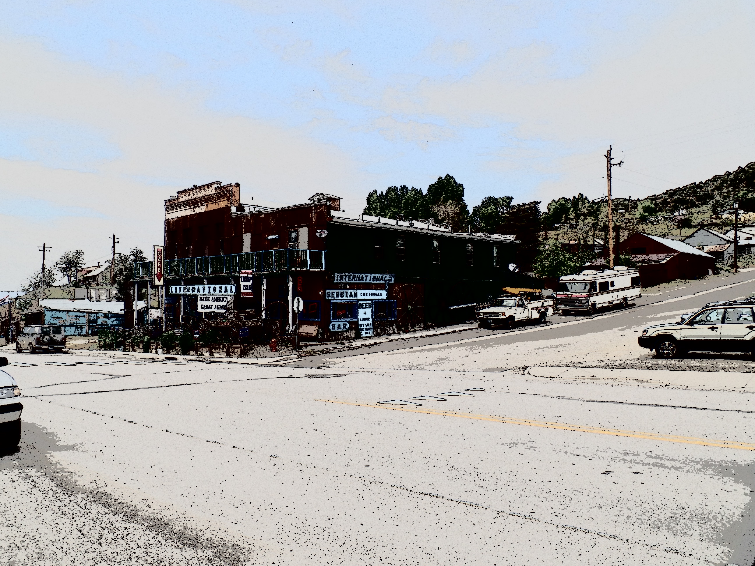
Austin is one of those little towns that used to be a link on the Pony Express, as well as where silver, lead and zinc were mined.  Silver still can be found, here and there. Lead being largely out of favour these days, for health concerns, is cause for several closed and shuttered mines.  The few folks who live here tend to be flinty-eyed towards anyone wearing shorts and a camera, but I find places like Austin intriguing, nonetheless.

SAMSUNG CAMERA PICTURES

Main Street, Austin, NV

SAMSUNG CAMERA PICTURES

St. Augustine’s Church, Austin, NV

The back streets have their appeal, as well.  Virginia Street alludes to the Mother Lode.

SAMSUNG CAMERA PICTURES

Lander County Courthouse, Austin, NV

Back on Main Street, the courthouse and visitor center(closed at the time) give Austin a bit of gravitas.

The walls in back of the main properties were built to last, with land slides always being in the back of people’s minds.

SAMSUNG CAMERA PICTURES

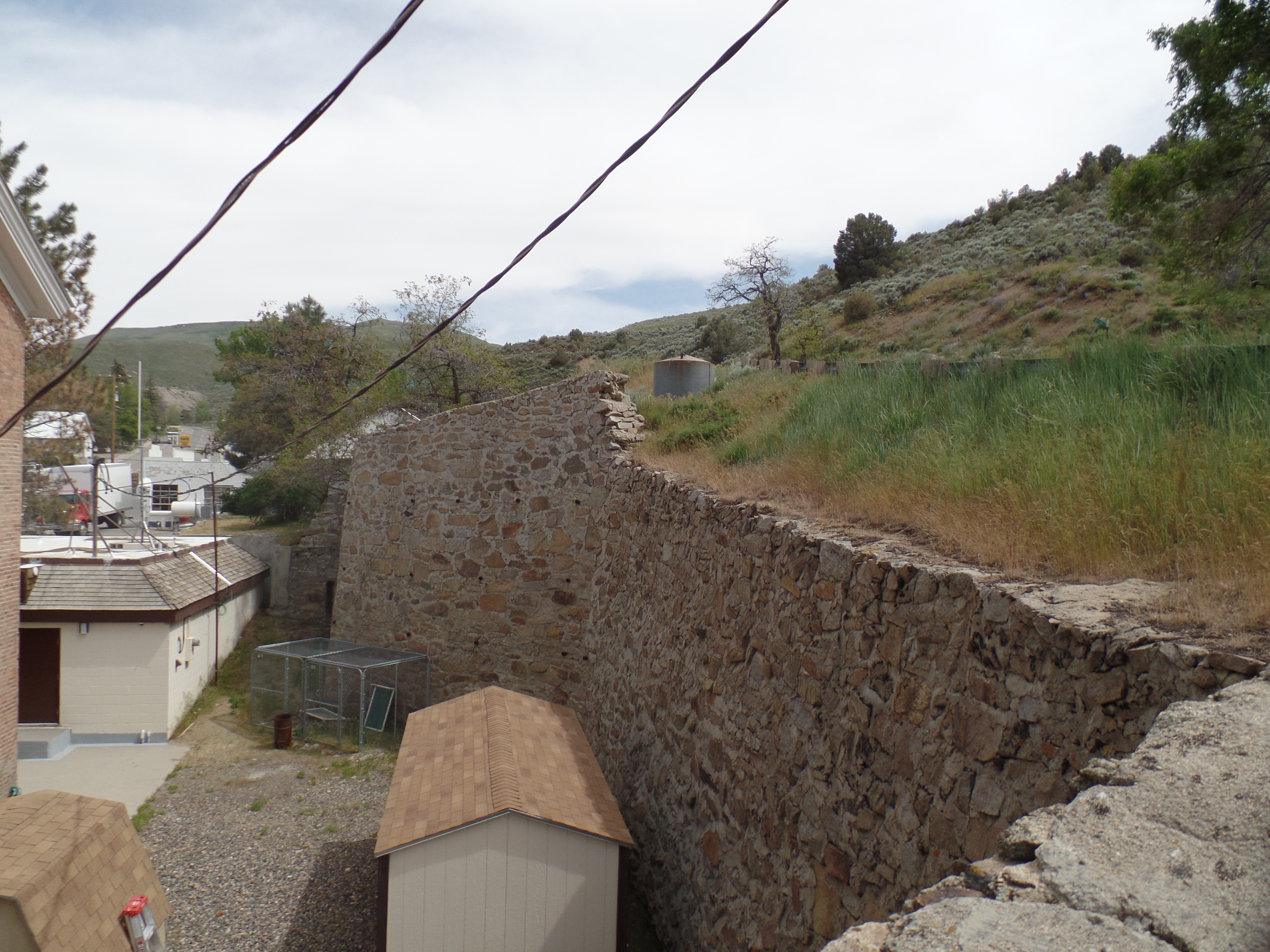
Retaining wall, behind Courthouse, Austin, NV

The old city hall was taken over by the American Legion, as John F. Hiskey Post 45, in 1947.

SAMSUNG CAMERA PICTURES

Old City Hall, Austin, NV

Crowning the heights above Austin is Stokes Castle.  Anson  Phelps Stokes, The Elder, was an industrialist and entrpreneur in the late-19th Century.  He built the edifice as a summer “tower”, but only actually used it for two months, in 1897.  After that, the Stokes family abandoned the place.  Austin’s citizens have fenced the structure off, and it is indeed unsafe to enter.  It remains, though, as a testament to the town’s glory days.

SAMSUNG CAMERA PICTURES

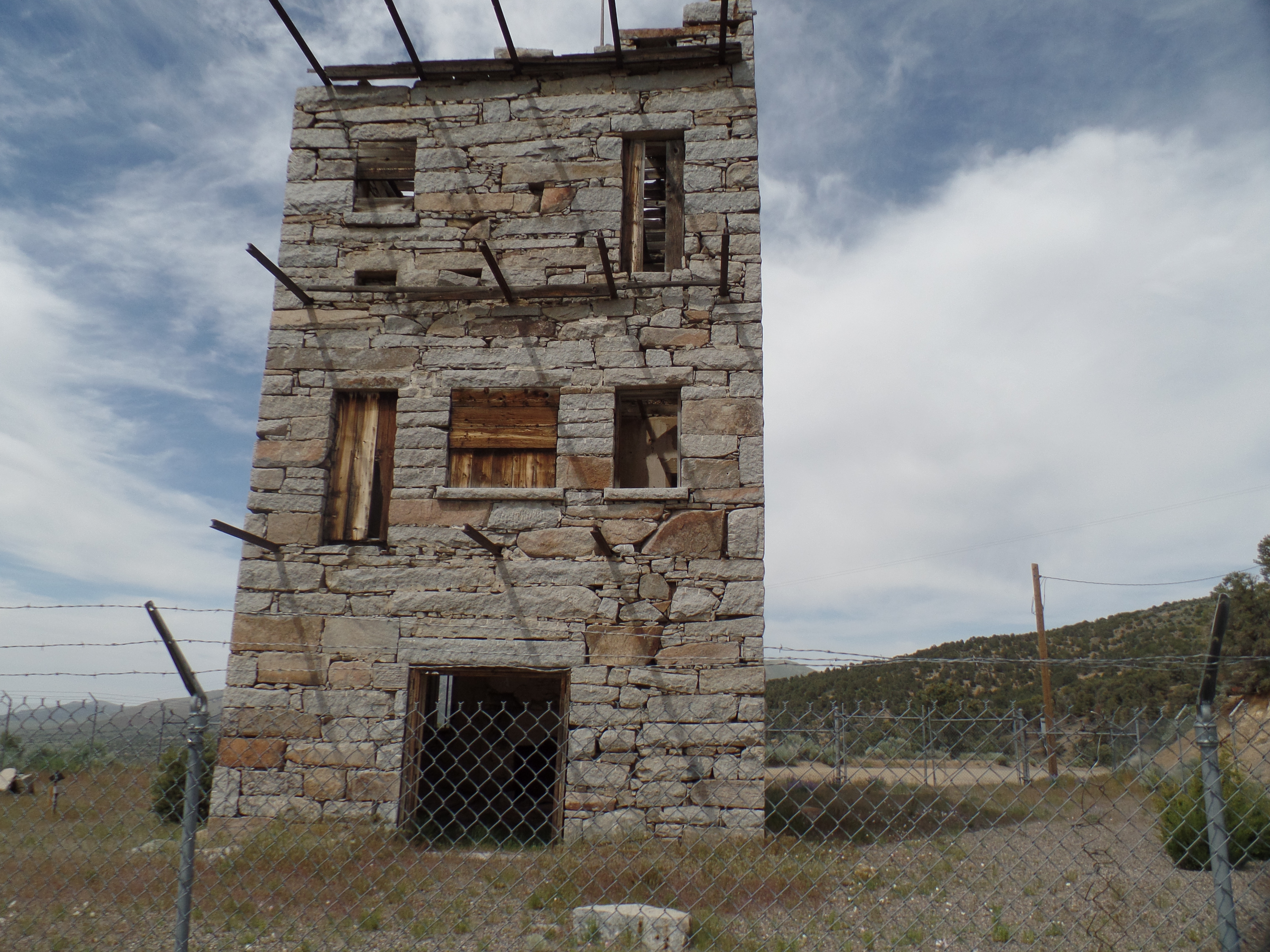
Stokes Castle, Austin, NV

An hour or so east of Austin lies Eureka, where people smiled, flashed peace signs and seemed quite relaxed, as their work day was coming to an end.

SAMSUNG CAMERA PICTURES

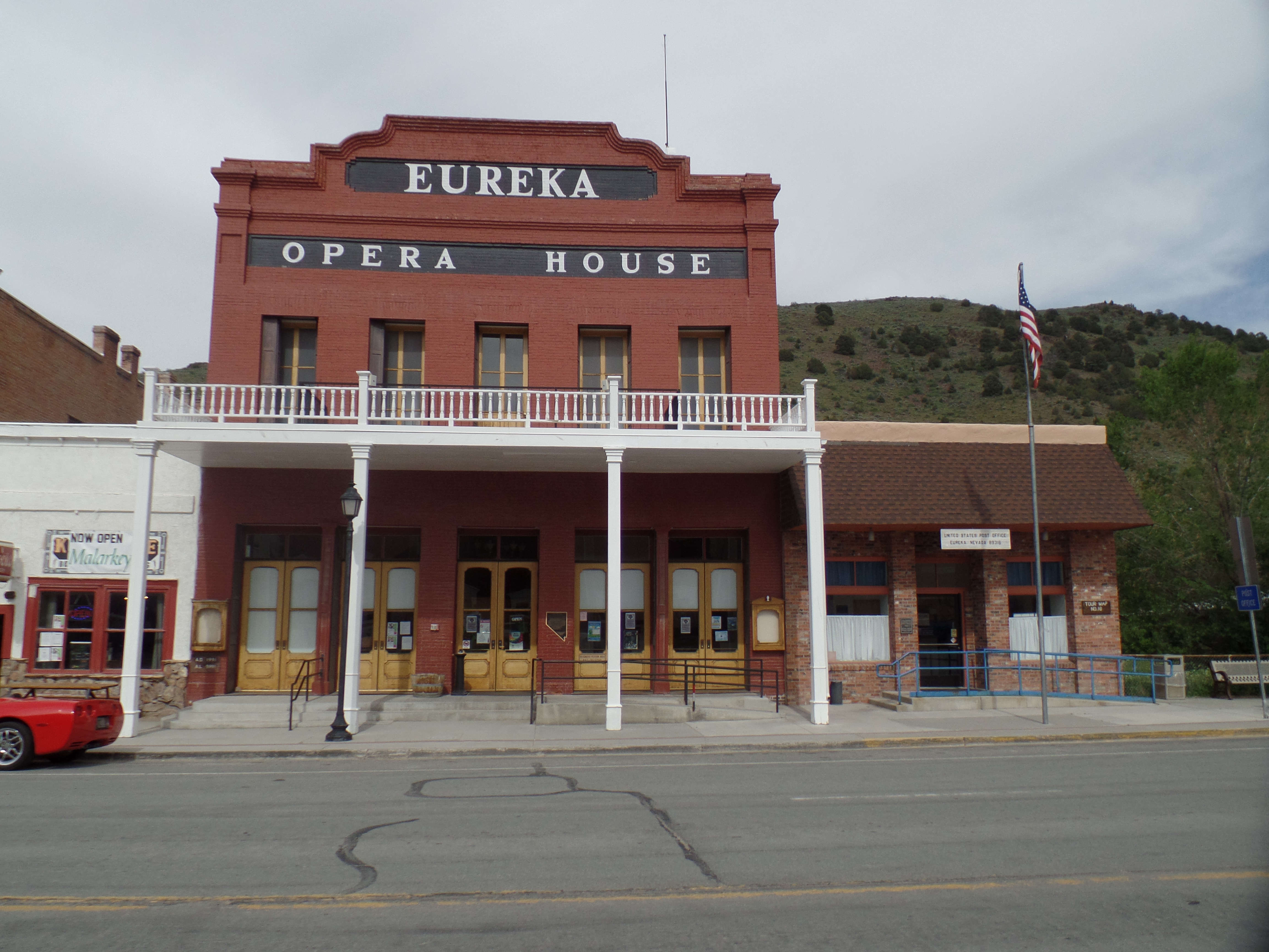
Eureka Opera House, Eureka, NV

SAMSUNG CAMERA PICTURES

Eureka County Courthouse, Eureka, NV

SAMSUNG CAMERA PICTURES

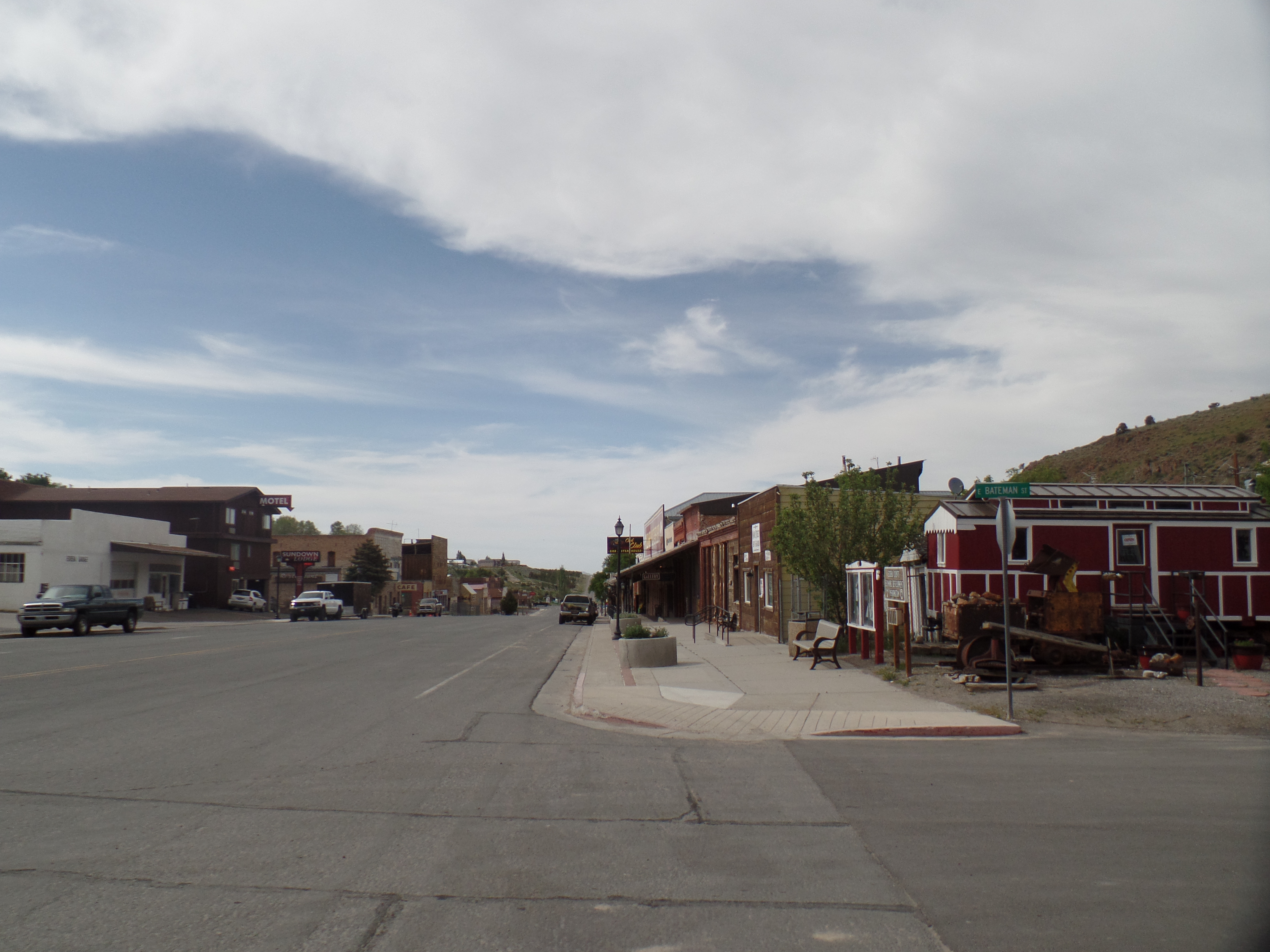
A westward look down Main Street, Eureka, NV

I had miles to go, before I slept, so on east it was, to Ely, NV, a more contemporarily- built, commercial hub, at the end of the “Loneliest Road”.  I had dinner at the aforementioned Silver State Restaurant, then gave my camera a rest- until I came to the White Pine Range.  These mountains are named for the light-coloured wood of the local evergreens.

SAMSUNG CAMERA PICTURES

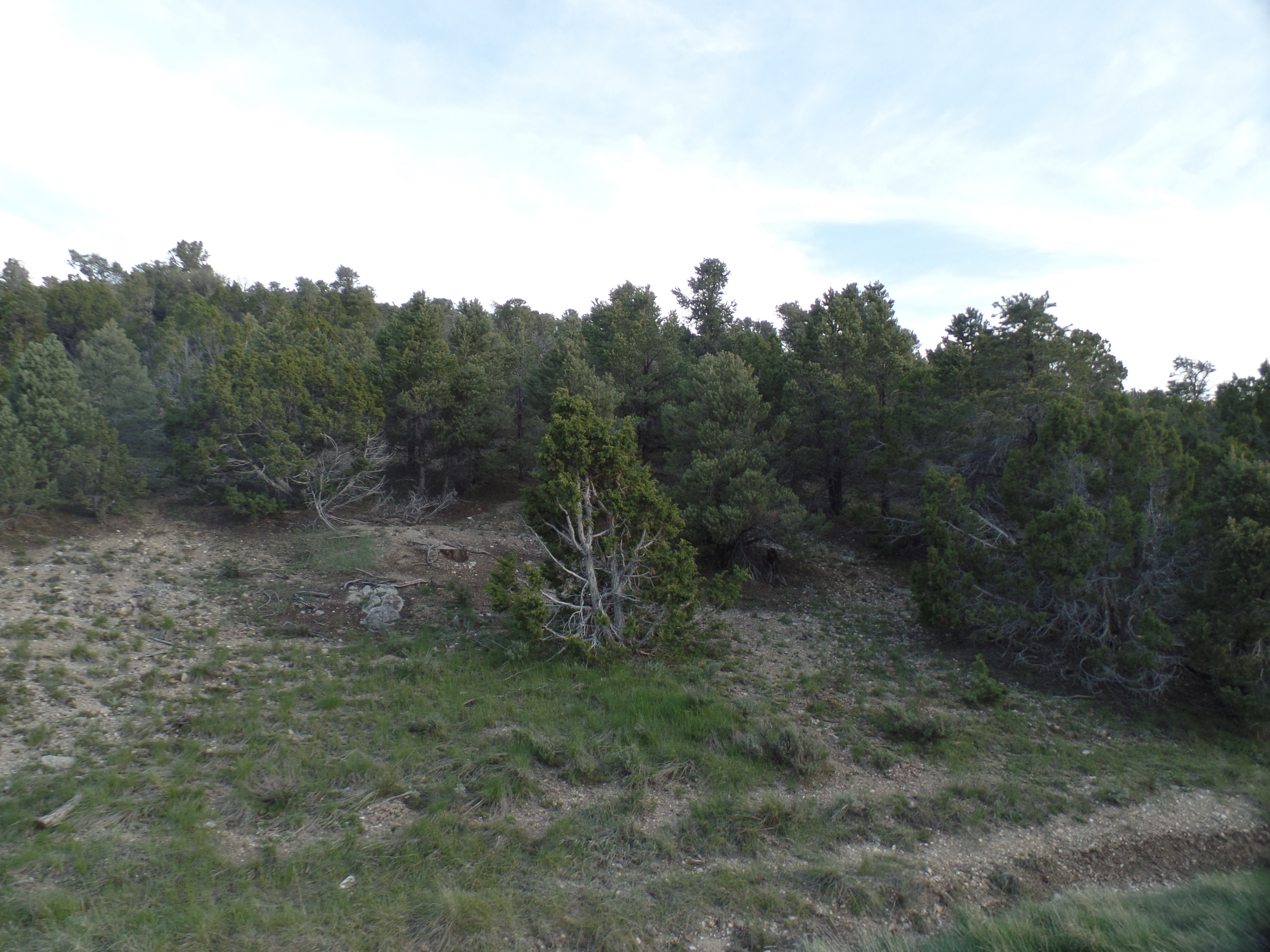
White Pine forest, south of Ely, NV

Wheeler Peak, not to be confused with the mountain of the same name that is New Mexico’s highest peak, is the crown of the White Pines, and second only to Boundary Peak, (in western Nevada), in terms of high points in the state.

SAMSUNG CAMERA PICTURES

Wheeler Peak, White Pine Range, south of Ely, NV

Thus, as you can see, loneliness is a definite state of mind.

NEXT UP:  Pioche, Panaca and the amazement of Cathedral Gorge