The Hana Chronicles: Month 8, Day 26

0

September 16, 2026- Hana kept at her self-imposed regimen today, working up to 25 seconds on her feet, without support. Being a week shy of the 9-month mark, I think she’s on a roll. She also kept singing and telling me stories, the plots of which are clear only to herself. Clear language will find its way out of her mouth, soon enough.. The top lateral incisors are about poked through, and the bottom ones will follow, a month or so from now.

I had a Zoom call this afternoon, with some friends in far off places. Hana woke from her second nap early, so rather than drag her, and the small high chair upstairs to my office space, I brought the laptop and accessories downstairs, letting her stay in the playpen. She interrupted me twice, first for a bottle feeding and second for a diaper change. Otherwise, my granddaughter contented herself with her toys and practicing standing on her own. It was during this time that she reached 25 seconds.

HANA’S NOTE– I wanted to show Papa that I could stand up when he is not close by, so I did.

EXPANDING CIRCLES: Central Texas – This is the Heart of Texas. San Antonio, Austin, Johnson Country and the Hills. The Turf- Rolling hills abound, from Waco down to College Station. then to Pleasanton, Kerrville and San Saba, in an oblong manner. The Balcones Escarpment and Edwards Plateau, better known, collectively, as Texas Hill Country, and the Brazos, Llano, Pedernales and San Antonio Rivers create a fair wilderness, in and around the two metropolises of Austin and “San Antone”.

First Nations- This is the ancestral home of the Tonkawa people, with Comanches or Numunuu, entering the area, in the mid-18th Century.

I would want Hana to see the Bat Bridge, in Austin, as well as the Music Section of the Bullock Museum and the State Capitol, of course. In San Antonio, my favourite areas are the Riverwalk and the outlying Missions. The Alamo, to me, is a place to visit with reverence-not because the men who died there were saints, but because they stood their ground against a far more powerful force. The Falls of the Pedernales, and Luckenbach, are also places in my heart. We have family friends in West, TX who would be fun to visit. I’d like to check out Waco,(Mammoth National Monument) Bastrop (historic downtown) and Fredericksburg (Enchanted Rock and Cross Mountain) , to boot.

NEXT: South Texas

Highway 50: Loneliness Is All In The Mind

2

June 2, 2016, Ely-  Sitting in the spare, but comfortable Silver State Restaurant, in this little anchor-town of the White Pine country of eastern Nevada, I had a bit of time to reflect on “America’s loneliest highway”.
I got on U.S. Highway 50,  in the eastern edge of Carson City, around 10:30 this morning, saying goodbye to my Baha’i sister, and her new home across town.  Gradually, the wonders of the Silver State itself unfolded:  The exit to Virginia City, the Comstock Lode historic site of Dayton, and the small commercial hub of Fallon, which serves as the western anchor of the so-called Lonely Road.

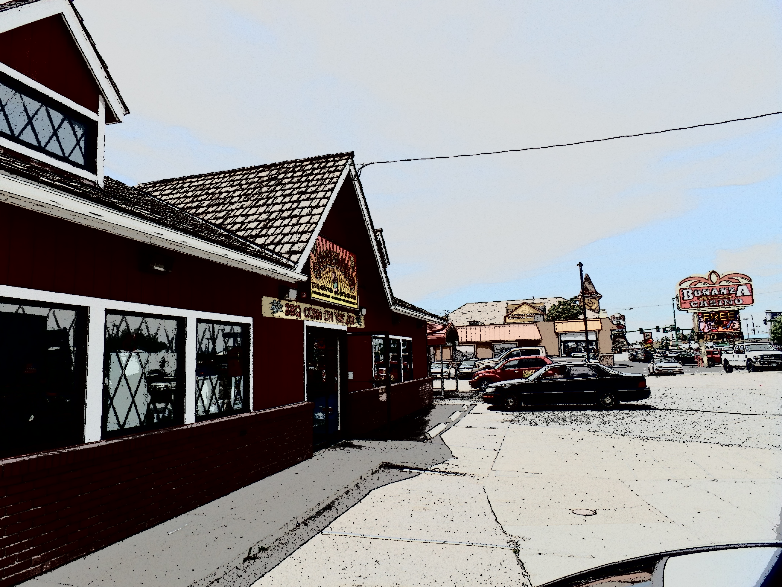
Fallon was rather quiet, on this first of many hot days to come.  It did have its share of business, though, and some of that filtered in to Susie’s BBQ, where I stopped for lunch.

SAMSUNG CAMERA PICTURES

Susie’s BBQ, Fallon, NV

I opted for brisket, as it was not really a sausage kind of day.  A Big Heat has taken the West under its wing, probably for the next seven or eight weeks, so we move, eat and adjust accordingly.

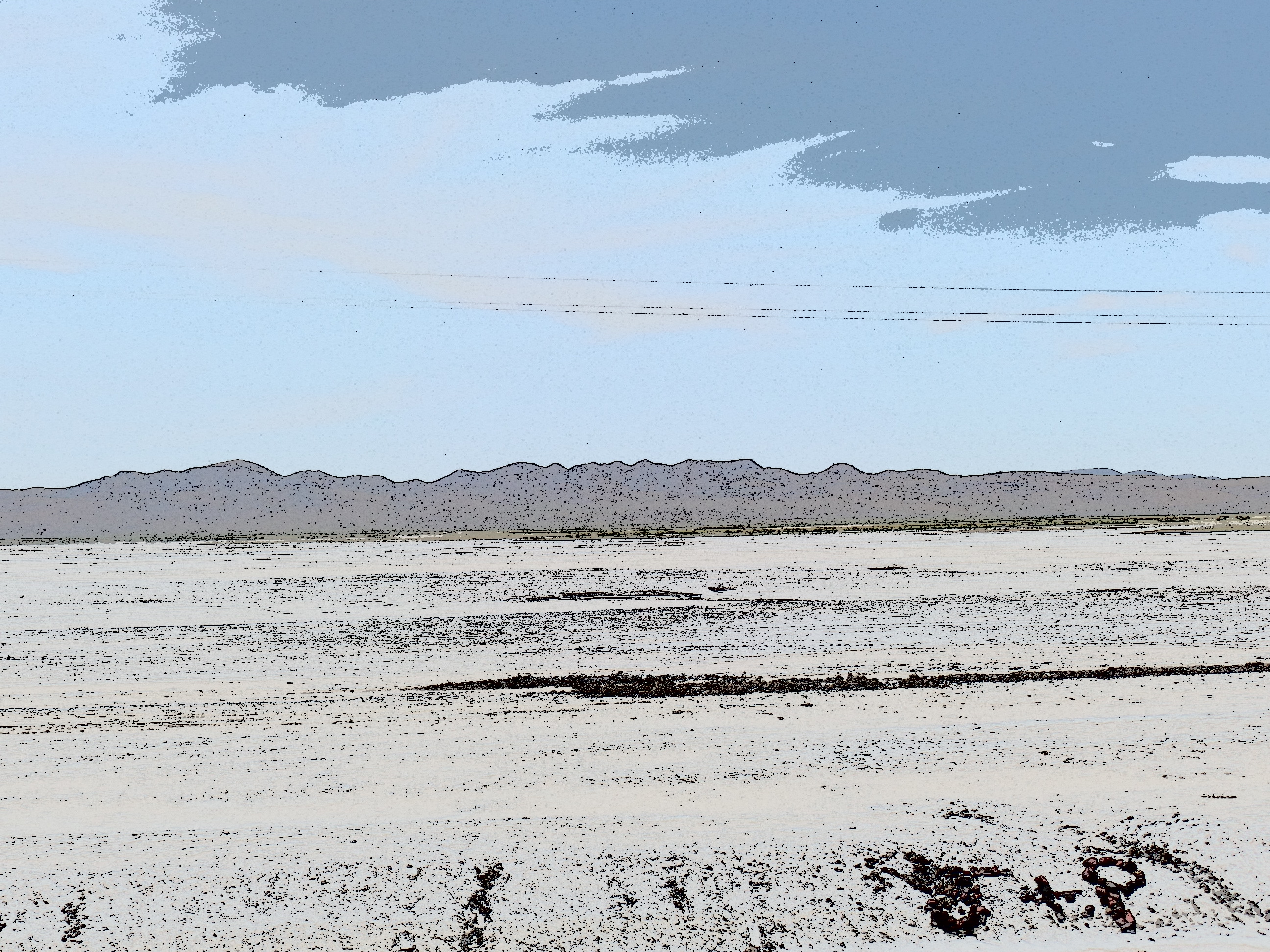
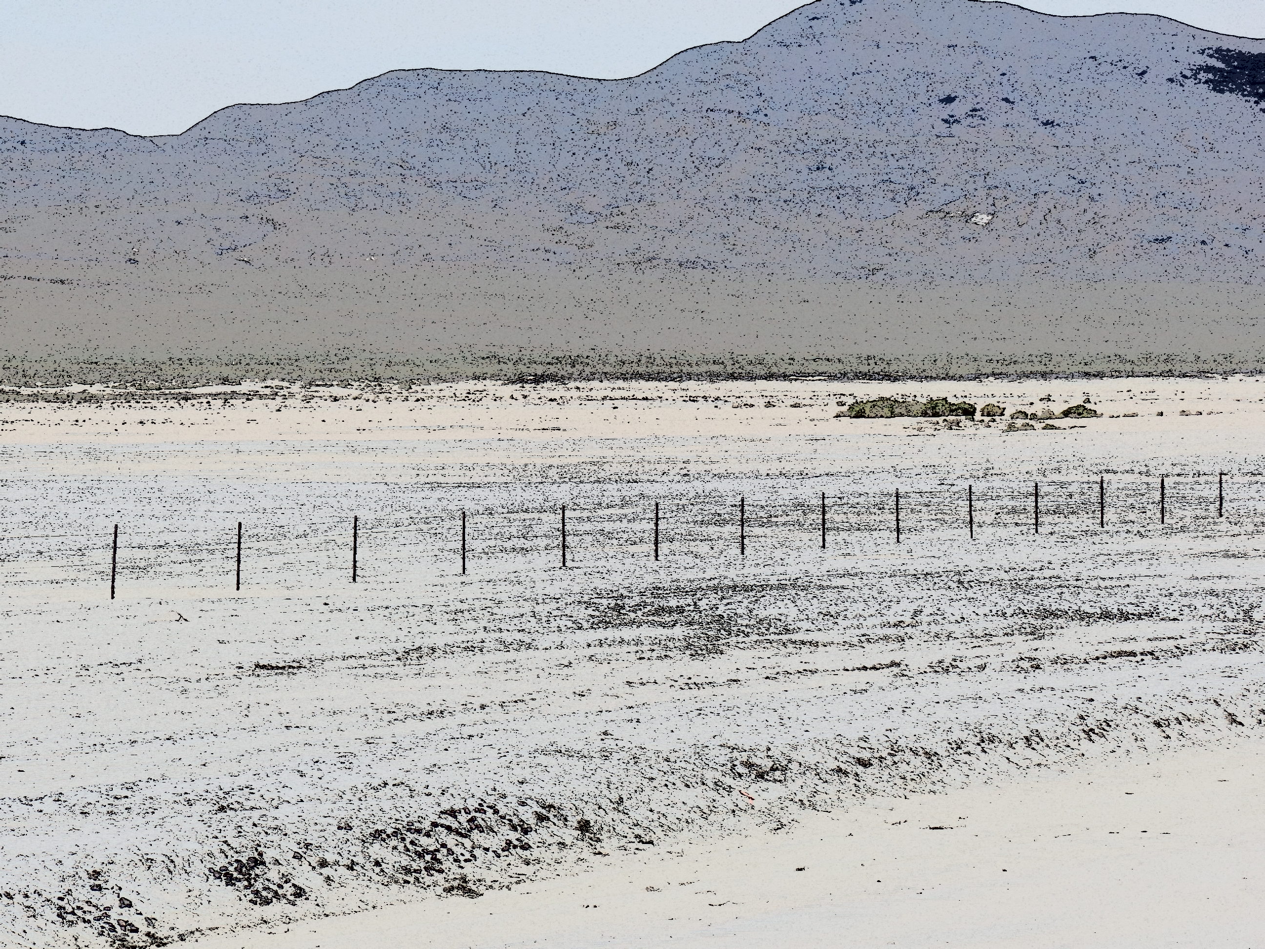
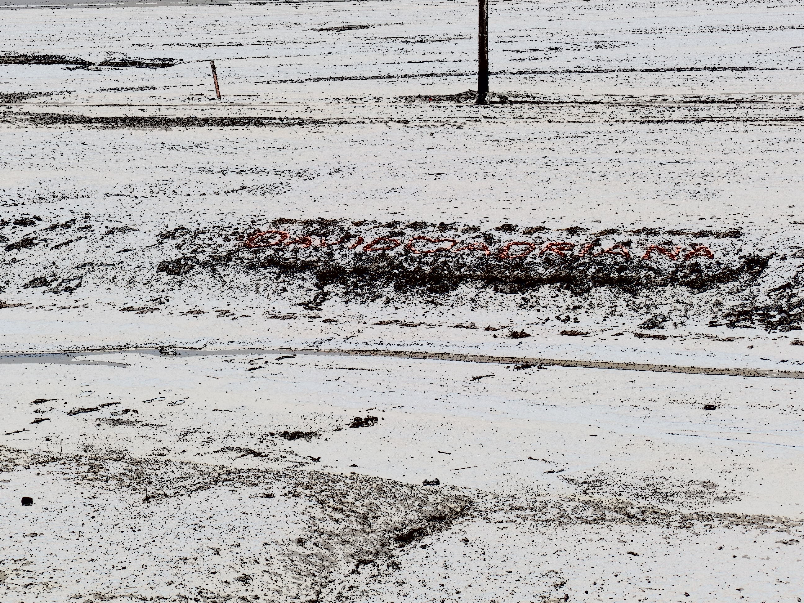
On my last ride across Highway 50, in 1980, my driver pointed out an expanse of salt flat, a remnant of ancient Lake Lahontan.  This was a massive body of water, stretching from the Sierra Navada to the Toiyabe Range.  Its remnants include the much smaller Lake Lahontan, east of Fallon, plus Lake Tahoe, Mono Lake and Pyramid Lake.  I did not, given the nature of my visit, go to any of the three western lakes, and there is intensive road work around the present Lake Lahontan.  Thus, here are some surrealist, filtered scenes of the Carson Lake Salt Flats.

SAMSUNG CAMERA PICTURES

SAMSUNG CAMERA PICTURES

SAMSUNG CAMERA PICTURES


SAMSUNG CAMERA PICTURES

Notice there are some graffiti, inscribed by local lovebirds and various passers-by, who find romance in the desolation.

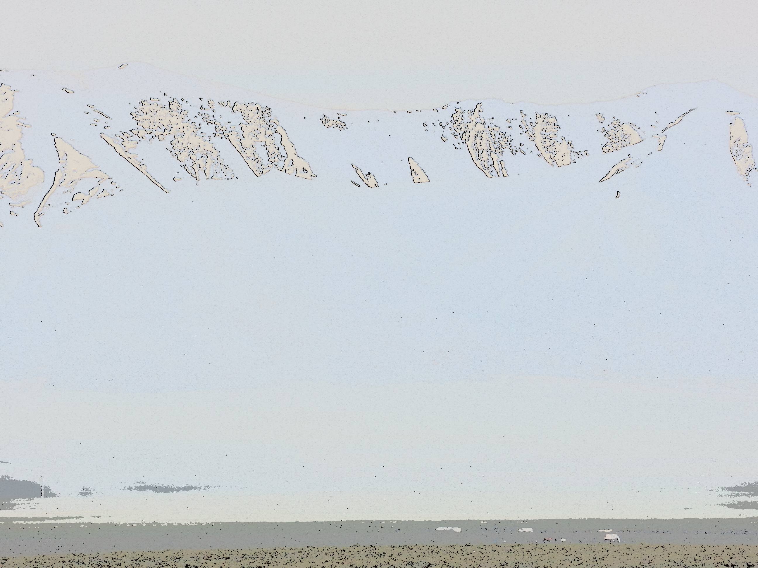
My next focus was on the Toiyabe Range, one of three mountain ranges that stretch north to south, in central Nevada.  The Toiyabe and White Pine mountains, like the Sierra Nevada, are still somewhat snow- packed on their summits and high ridges.

SAMSUNG CAMERA PICTURES

Toiyabe Range, central Nevada

SAMSUNG CAMERA PICTURES

Toiyabe Range, Central Nevada

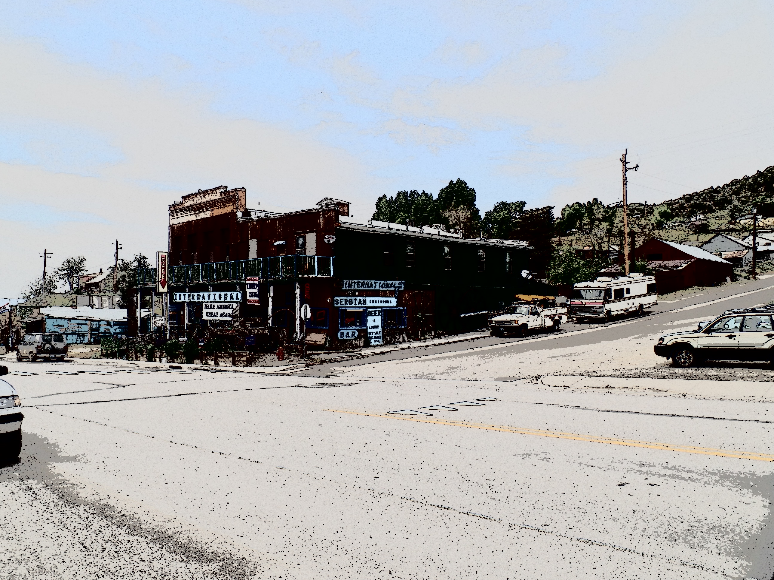
Austin is one of those little towns that used to be a link on the Pony Express, as well as where silver, lead and zinc were mined.  Silver still can be found, here and there. Lead being largely out of favour these days, for health concerns, is cause for several closed and shuttered mines.  The few folks who live here tend to be flinty-eyed towards anyone wearing shorts and a camera, but I find places like Austin intriguing, nonetheless.

SAMSUNG CAMERA PICTURES

Main Street, Austin, NV

SAMSUNG CAMERA PICTURES

St. Augustine’s Church, Austin, NV

The back streets have their appeal, as well.  Virginia Street alludes to the Mother Lode.

SAMSUNG CAMERA PICTURES

Lander County Courthouse, Austin, NV

Back on Main Street, the courthouse and visitor center(closed at the time) give Austin a bit of gravitas.

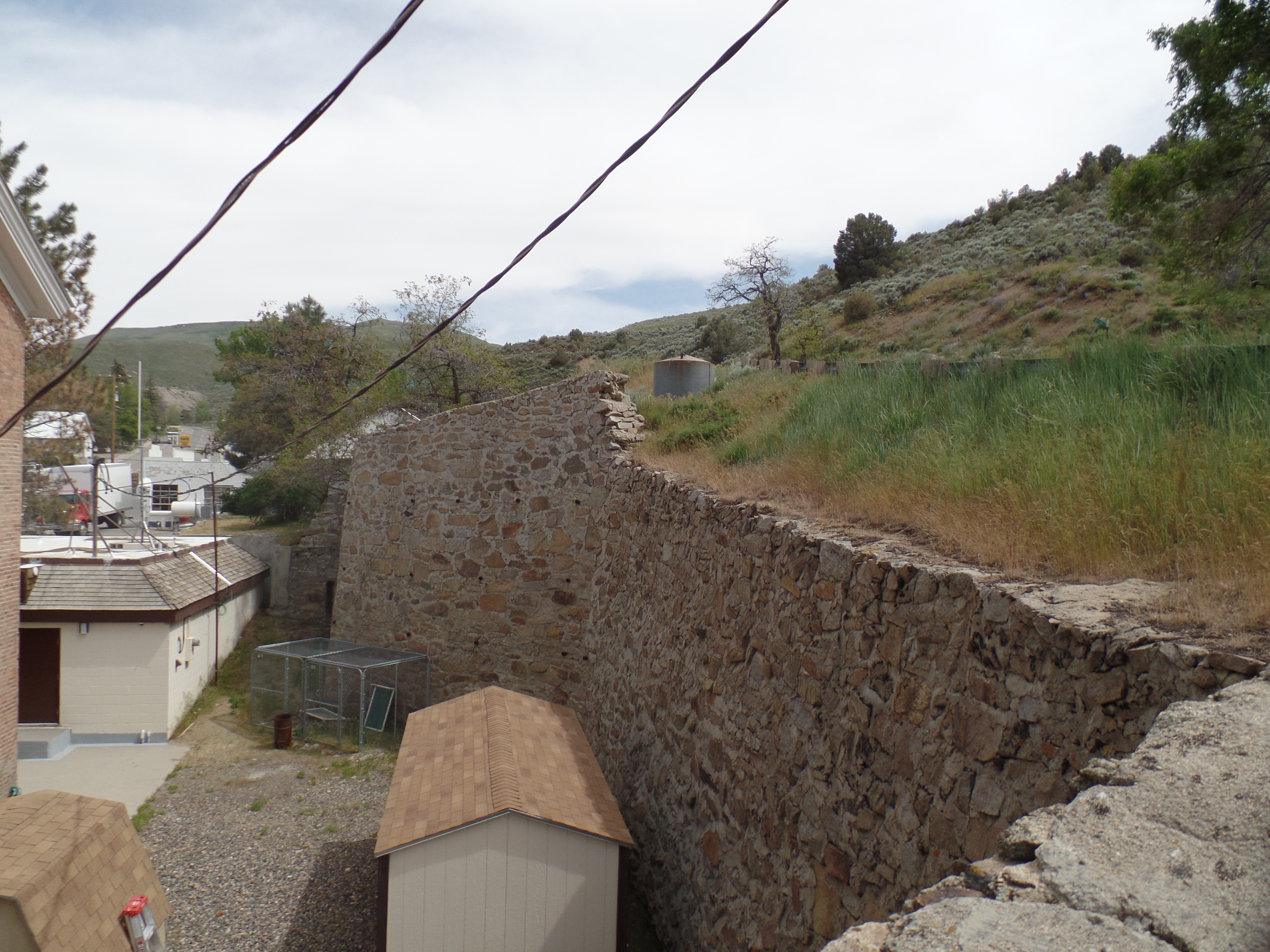
The walls in back of the main properties were built to last, with land slides always being in the back of people’s minds.

SAMSUNG CAMERA PICTURES

Retaining wall, behind Courthouse, Austin, NV

The old city hall was taken over by the American Legion, as John F. Hiskey Post 45, in 1947.

SAMSUNG CAMERA PICTURES

Old City Hall, Austin, NV

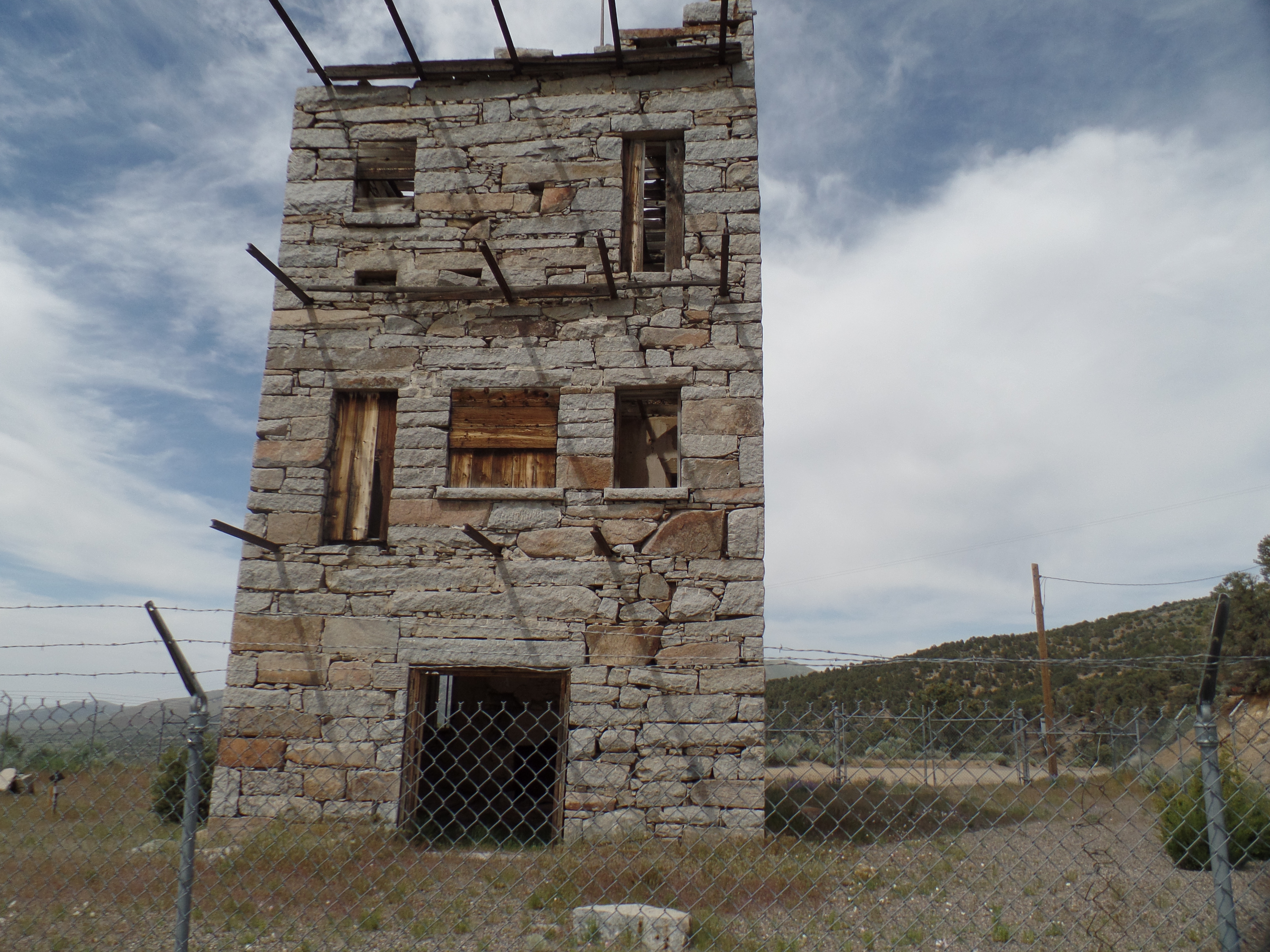
Crowning the heights above Austin is Stokes Castle.  Anson  Phelps Stokes, The Elder, was an industrialist and entrpreneur in the late-19th Century.  He built the edifice as a summer “tower”, but only actually used it for two months, in 1897.  After that, the Stokes family abandoned the place.  Austin’s citizens have fenced the structure off, and it is indeed unsafe to enter.  It remains, though, as a testament to the town’s glory days.

SAMSUNG CAMERA PICTURES

Stokes Castle, Austin, NV

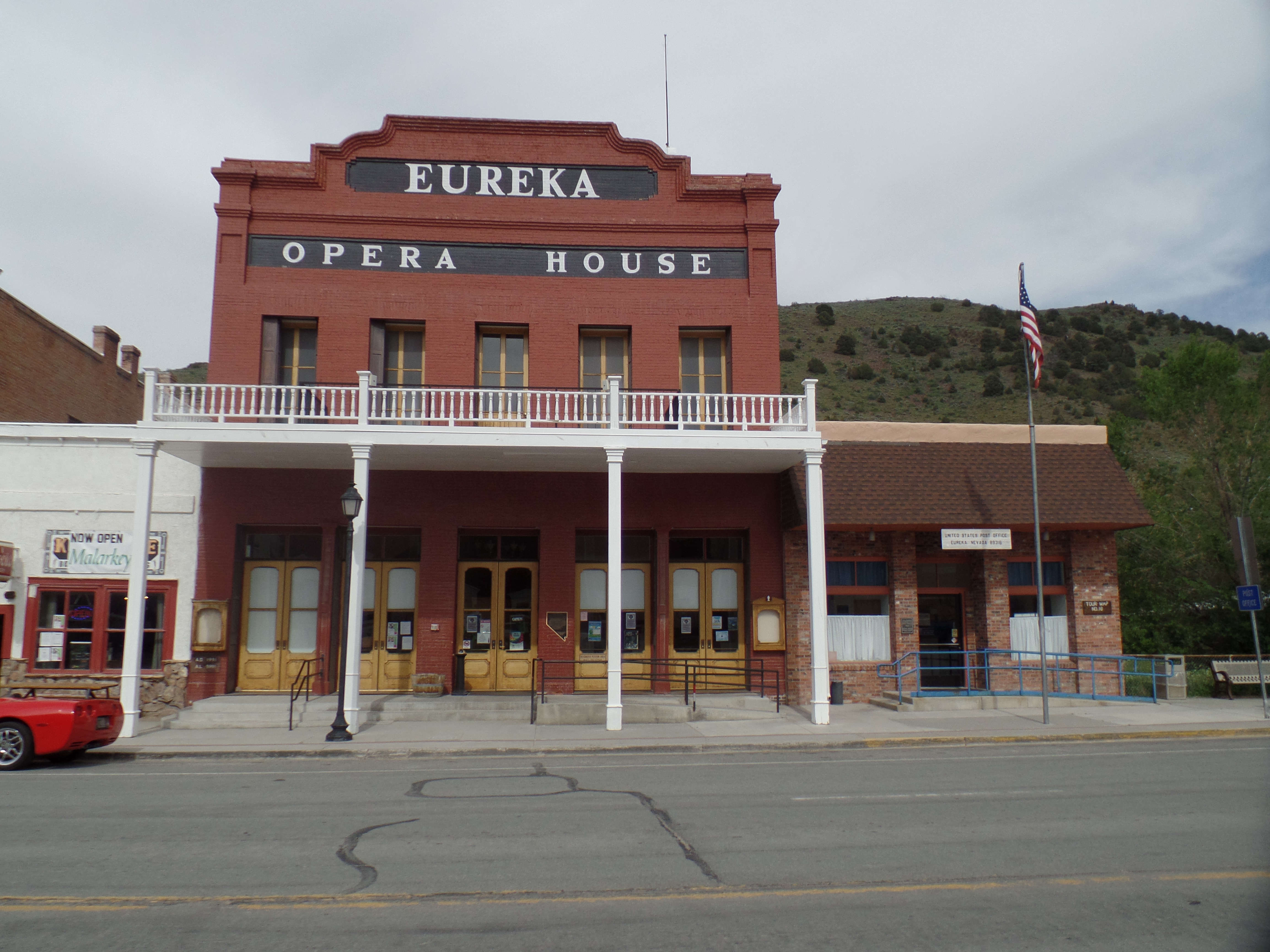
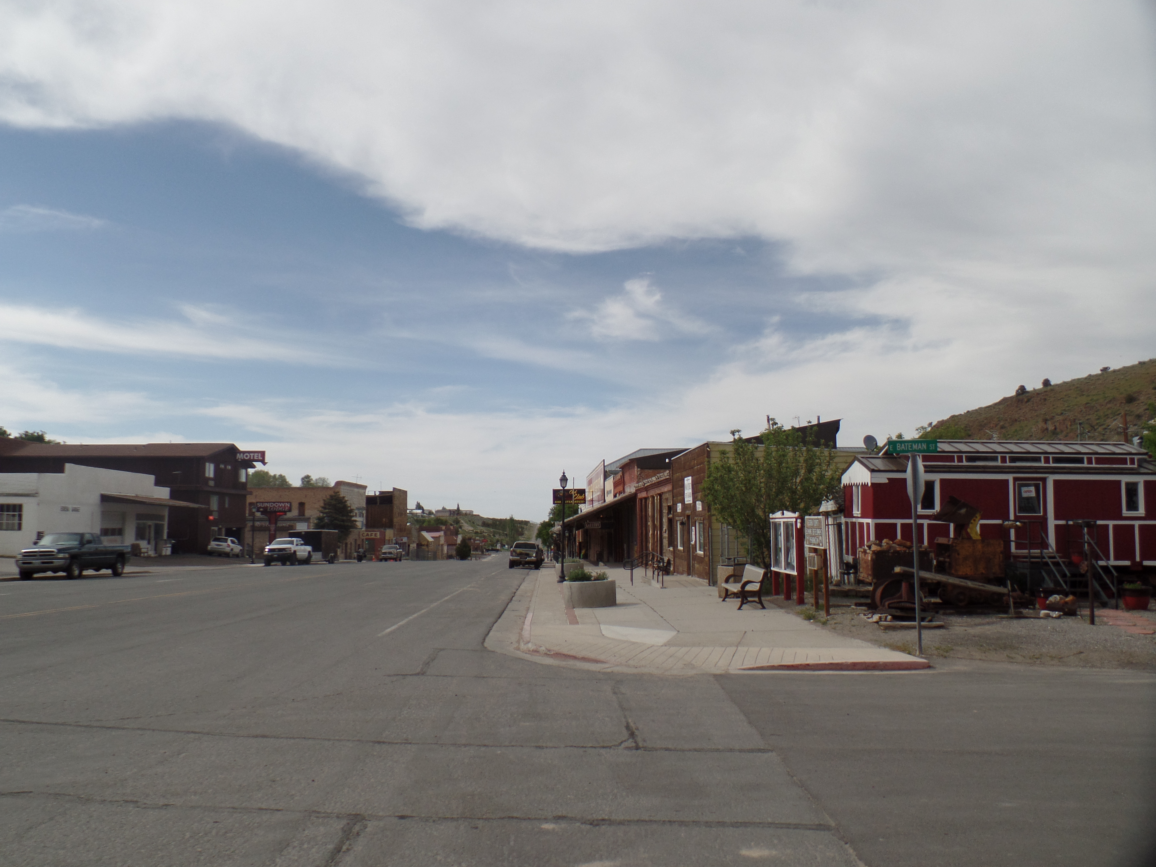
An hour or so east of Austin lies Eureka, where people smiled, flashed peace signs and seemed quite relaxed, as their work day was coming to an end.

SAMSUNG CAMERA PICTURES

Eureka Opera House, Eureka, NV

SAMSUNG CAMERA PICTURES

Eureka County Courthouse, Eureka, NV

SAMSUNG CAMERA PICTURES

A westward look down Main Street, Eureka, NV

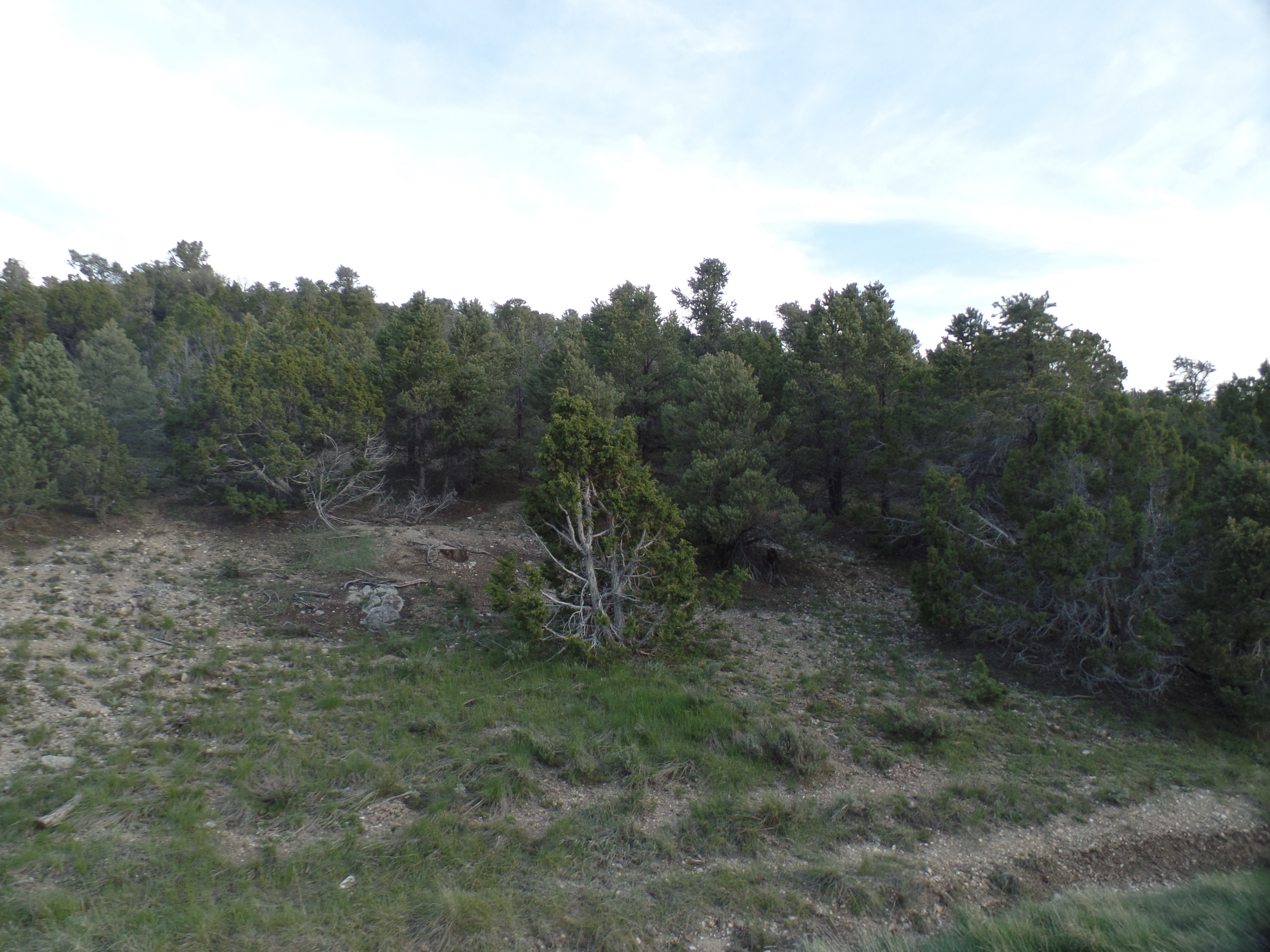
I had miles to go, before I slept, so on east it was, to Ely, NV, a more contemporarily- built, commercial hub, at the end of the “Loneliest Road”.  I had dinner at the aforementioned Silver State Restaurant, then gave my camera a rest- until I came to the White Pine Range.  These mountains are named for the light-coloured wood of the local evergreens.

SAMSUNG CAMERA PICTURES

White Pine forest, south of Ely, NV

Wheeler Peak, not to be confused with the mountain of the same name that is New Mexico’s highest peak, is the crown of the White Pines, and second only to Boundary Peak, (in western Nevada), in terms of high points in the state.

SAMSUNG CAMERA PICTURES

Wheeler Peak, White Pine Range, south of Ely, NV

Thus, as you can see, loneliness is a definite state of mind.

NEXT UP:  Pioche, Panaca and the amazement of Cathedral Gorge