The Road to 65, Mile 358: Positivity Outside

6

November 21, 2015, Prescott- I looked, to no avail, for a parking spot near the point where I left off on Prescott Circle, last Saturday.  I have an ethic about such things:  Never park on a business lot, unless patronizing said business.  So, the second half of Segment 7 will wait until after Thanksgiving, most likely until the afternoon of December 6.

That bit of irrelevance aside, the outdoors, as is well known to my readers, is a huge part of my life.  Positivity arises from the mountains, the desert, the beaches, the grasslands and the serene forests.  Even the ocean has given me a sense of serenity.

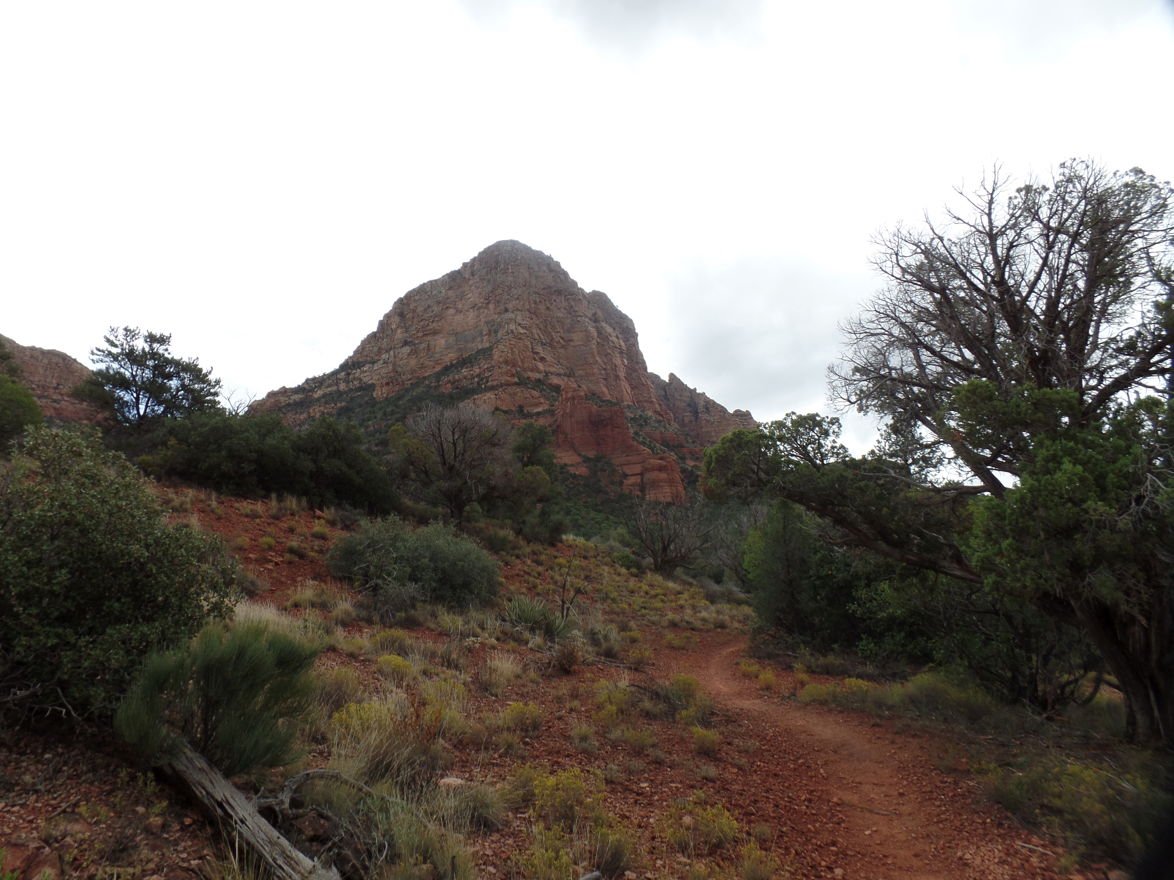
Sedona’s red rocks and pine forests abound in good vibrations, as do “our own” forests, lakes and grasslands, around Prescott and vicinity. The vortices of Sedona are closely matched by Thumb Butte.

I have felt similar vibrations elsewhere:  At Indian Gardens, along the Grand Canyon’s Bright Angel Trail; at both Spirit (“Devil’s”) Tower and Medicine Wheel, in northeast Wyoming; at Cahokia Mounds and at the Cairo Confluence, in southern Illinois; at Palo Duro Canyon, in northwest Texas; at Cape Flattery, Washington (the northwestern-most point in the contiguous United States; atop Harney Peak, South Dakota; at several points along Waikiki Beach, Hawai’i; and at more places than I can count, in southeast Alaska.  Then, too, Spirit knows no boundaries:  Stanley Park, Vancouver, the woods of Metz and Le Donjon, Rouen, France, held me in rapt respect.

The wind spoke to me, while on the ocean between Honolulu and San Diego and the rock along the River Trail glowed, in multicolours, when I first visited Palo Duro.  Spiders rode the breeze, on their webs, at Cathedral Rock, Sedona and spun exquisite places of rest in Olustee State Park, Florida, while I watched, in wonder.

There will, no doubt, be other encounters on the road ahead.  Nature eternally urges us onward.

The Road to 65, Mile 313: Of Horses, Llamas and Bells

10

October 6, 2015, Sedona- After dealing with more computer work, regarding a legal matter, I headed out for a day’s respite, stopping first at Mortimer Family Farm, in Dewey.  The Fall is in full swing at this exhilarating place.  As you can see, the pumpkins,alone, will delight dozens of school children this season.

SAMSUNG CAMERA PICTURES

SAMSUNG CAMERA PICTURES

My other purpose was to pick up one of their delectable sandwiches, along with a piece of Pumpkin Pie Fudge and a mocha espresso, for a roadside picnic.  This ended up taking place at Crucifixion Point, a Forest Service Day-Use area, which was closed and locked.  Nothing prevented me from parking outside the gate and enjoying a pleasant meal, though.

Then, it was off to Sedona.  I stopped at the community college branch and inquired as to the road to Honanki, a Pueblo ruin on the West Side of town.  I was told that I was not to go in there unless riding in a commercial jeep.  I know this is a bunch of hooey, and figure the staff member must have some interest in the jeep outfit.  Rather than waste time, I headed to a tried and true hiking path: Little Horse Trail and Llama Trail.  Little Horse, which I last hiked three years ago, heads to Chicken Point (seen below) and Submarine Rock.

SAMSUNG CAMERA PICTURES

It also connects with a trail to the Chapel in the Red Rocks.

SAMSUNG CAMERA PICTURES

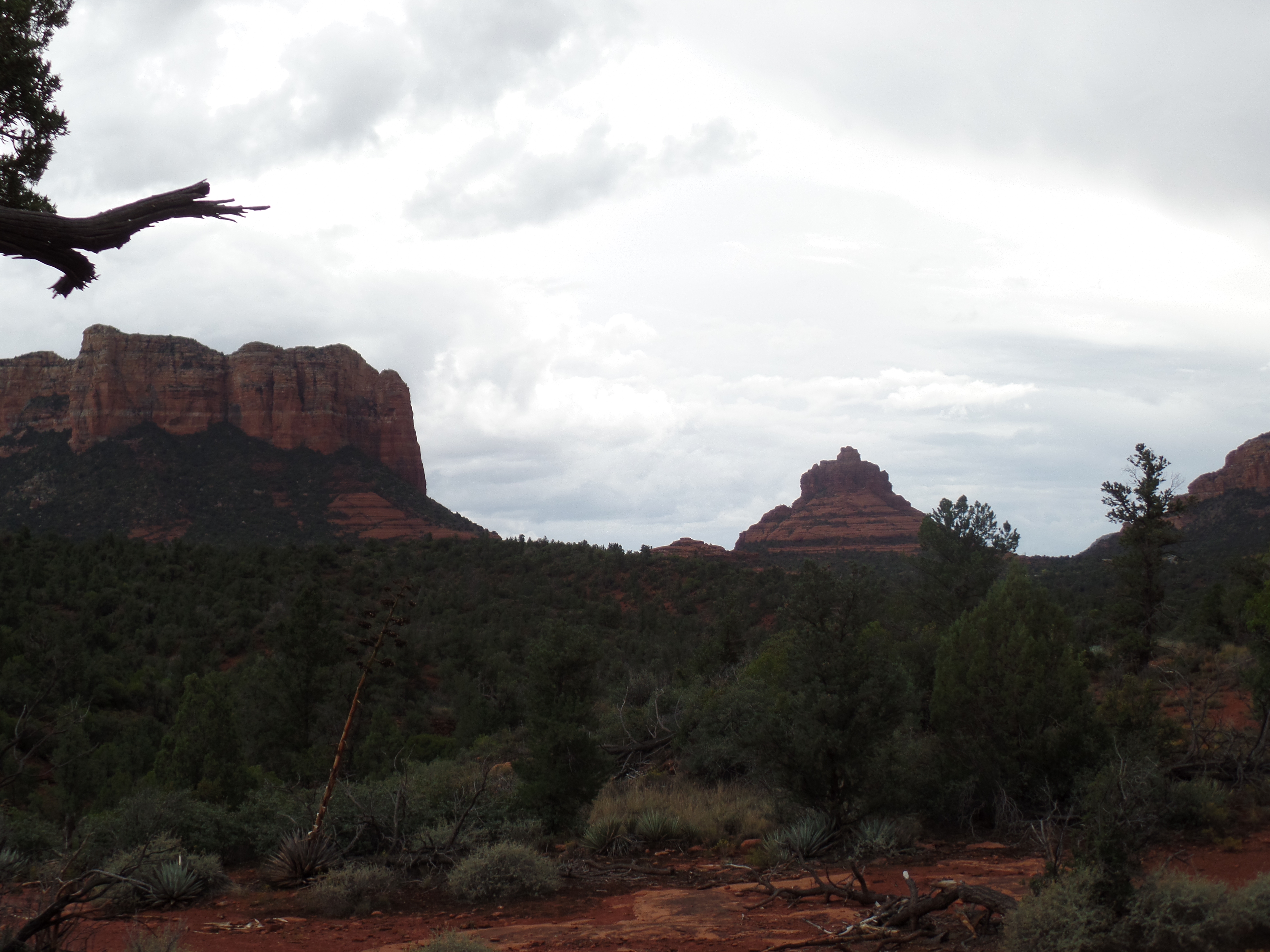
About 2/3 of the way to Chicken Point, I veered off Little Horse, and took Llama Trail.  This brings the hiker back around to the south, towards Courthhouse Butte and Bell Rock.  At one point, Llama Trail has one in a place that is equidistant from Cathedral Rock (west), Madonna and the Nuns (north), Courthouse Butte (east) and Bell Rock (south).  I chose that area to pray, take a drink from my water bottle and write reminiscences of my July trip to California.  Sedona has several vortices, and this felt like one of them.

While I was praying, I was greeted by some local residents.

SAMSUNG CAMERA PICTURES

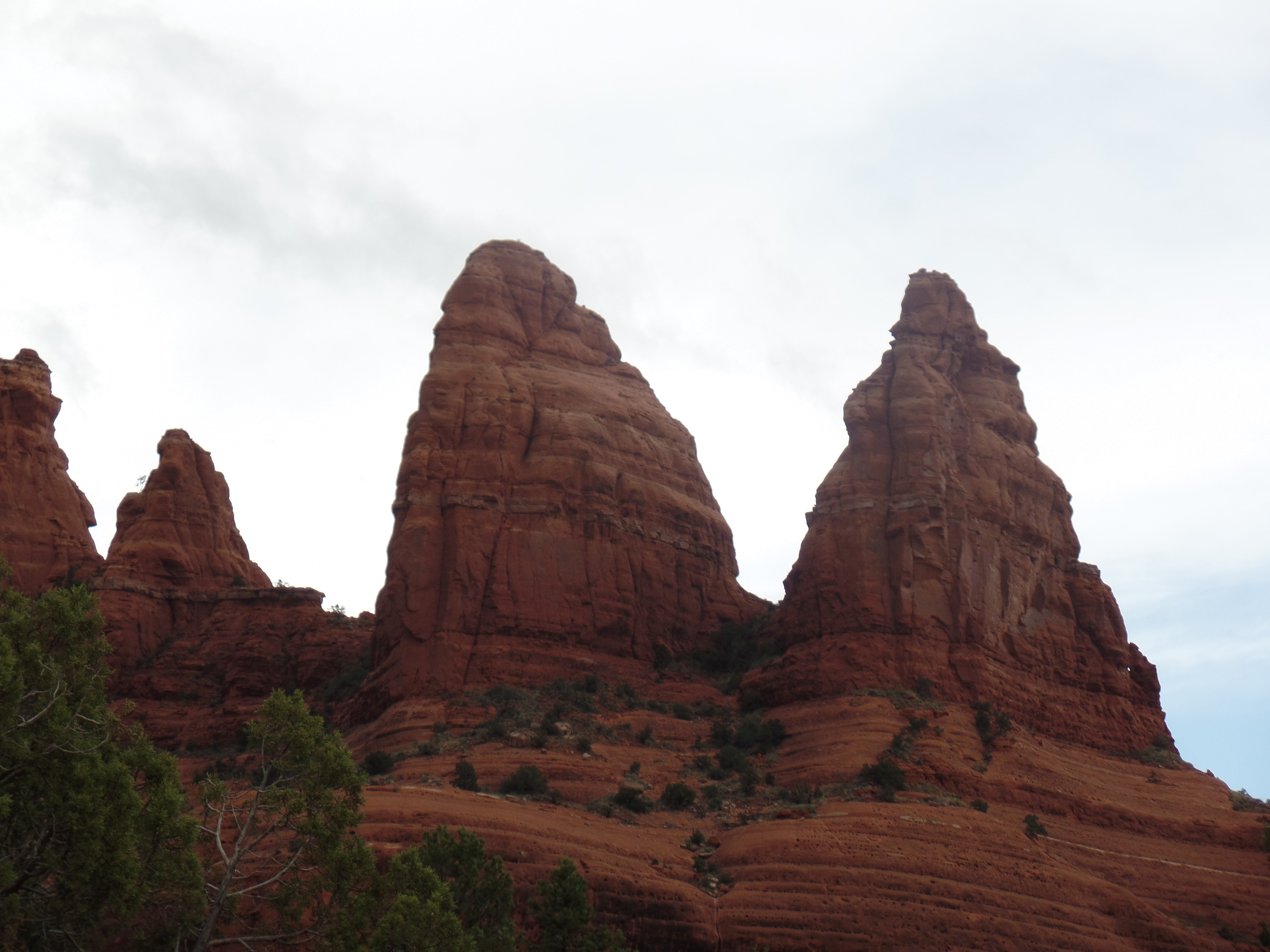
Here are two shots of  Madonna and The Nuns.

SAMSUNG CAMERA PICTURES

SAMSUNG CAMERA PICTURES

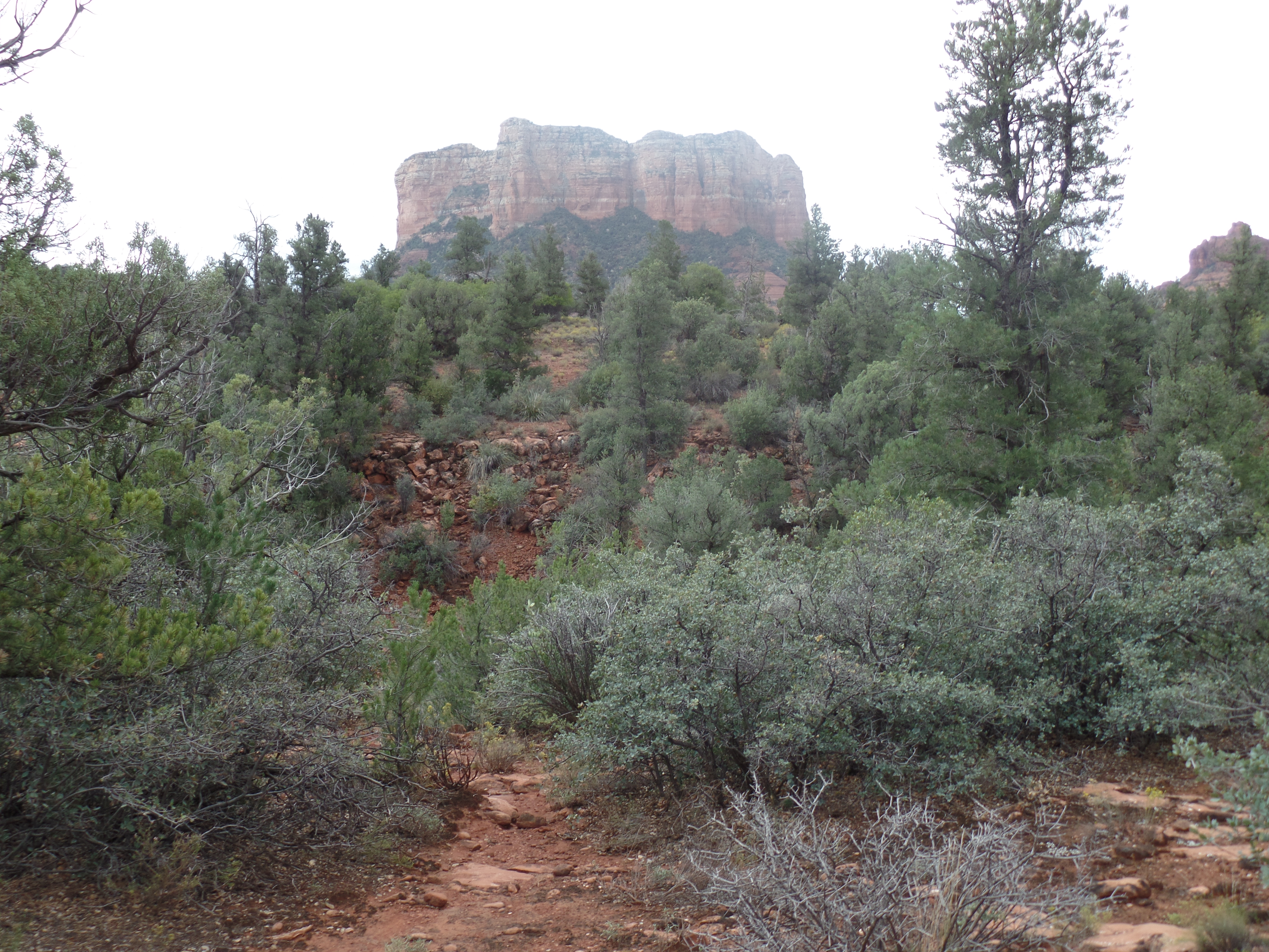
Courthouse Butte is not to be outdone.

SAMSUNG CAMERA PICTURES

Nor are Bell Rock,

SAMSUNG CAMERA PICTURES

or Cathedral Rock.

SAMSUNG CAMERA PICTURES

Llama Trail ends at Courthouse Vista, about 1 1/2 miles south of where my car was.  So, in the interests of not being caught up in an approaching thunderstorm or out after dark, I took Bail Trail, a 1/4 mile connector, to Bell Rock Path, then back to Little Horse and my way home.

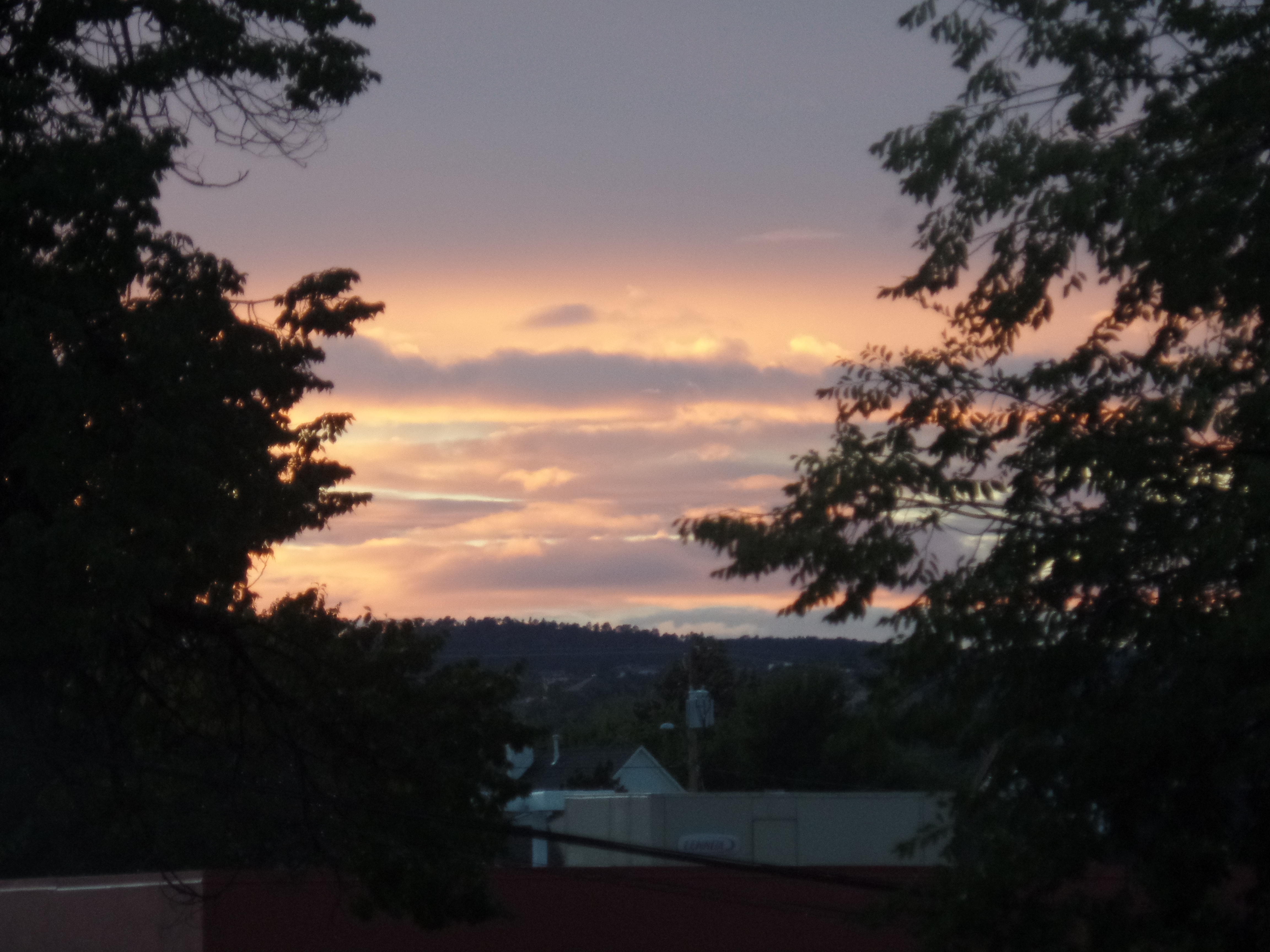
As it happened, I drove through the rain easily, and got home in time for another fine Arizona scene.

SAMSUNG CAMERA PICTURES