The Road to 65, Mile 127: Light and Shadow

10

April 4, 2015, Cherry, AZ-   On any given day, there are hundreds of possibilities, for both good and ill.  I set out this morning for Tonto Natural Bridge, looking to explore the northern approach to the Bridge, via Pine Creek Trail.  I had gone the southern route on my first visit, last Fall.  The link between the two is a six-inch wide ledge, that is navigable by hugging the rock face, for about three feet of trail.  I have declined to so navigate.  My purpose in hiking is never bravado or machismo, but understanding.

I spent about an hour there, looking at the remnants of a waterfall, above Pine Creek, and walking along the creek, going through the small caves above it and marveling anew at the Natural Bridge.

The slight sprinkle of fluid, at the “waterfall” is not done justice by a mere photograph.

SAM_4703

Pine Creek Trail, on the other hand, means lots of boulder hopping, along the creek bed.

SAM_4709

SAM_4710

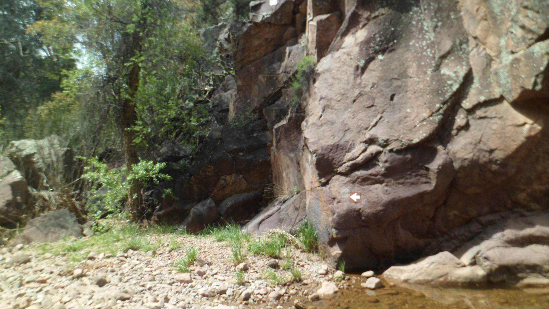
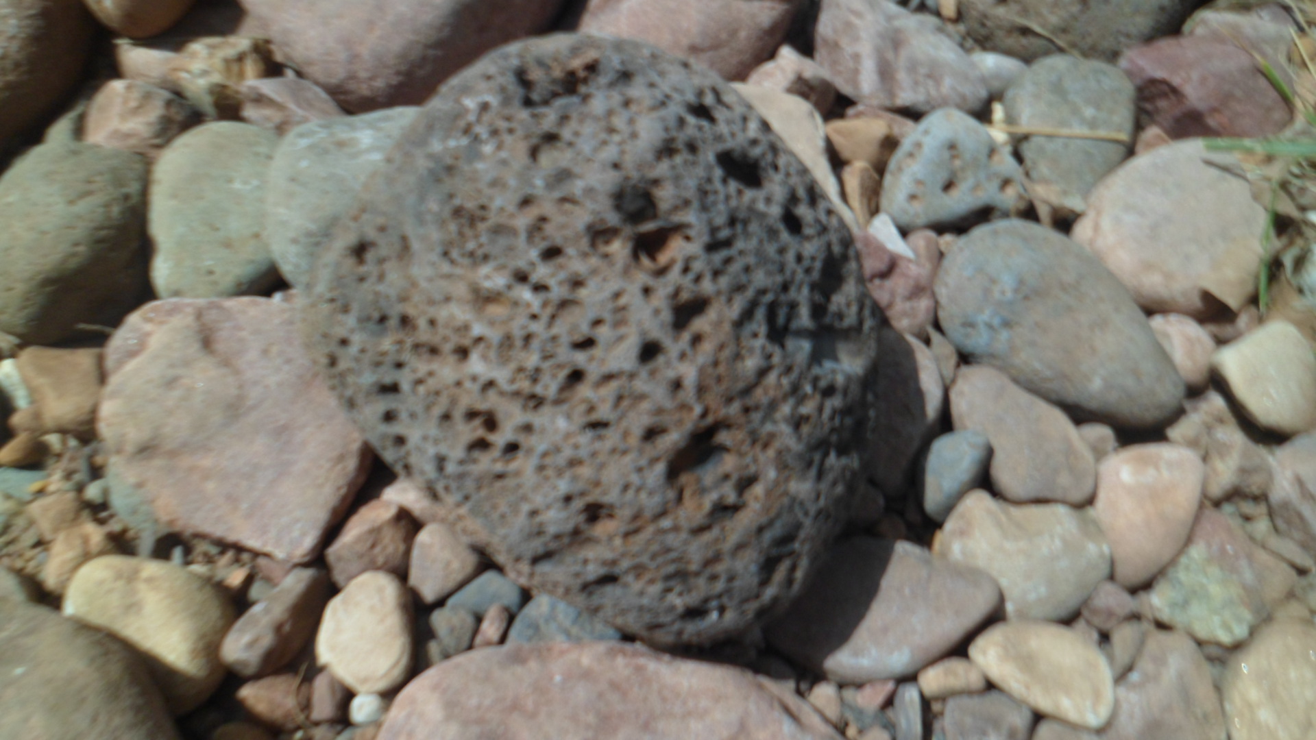
The basalt, which makes up much of the area, may be examined up close.

SAM_4712

This is the consummate Southwest- constant interplay between rock and water.

SAM_4715

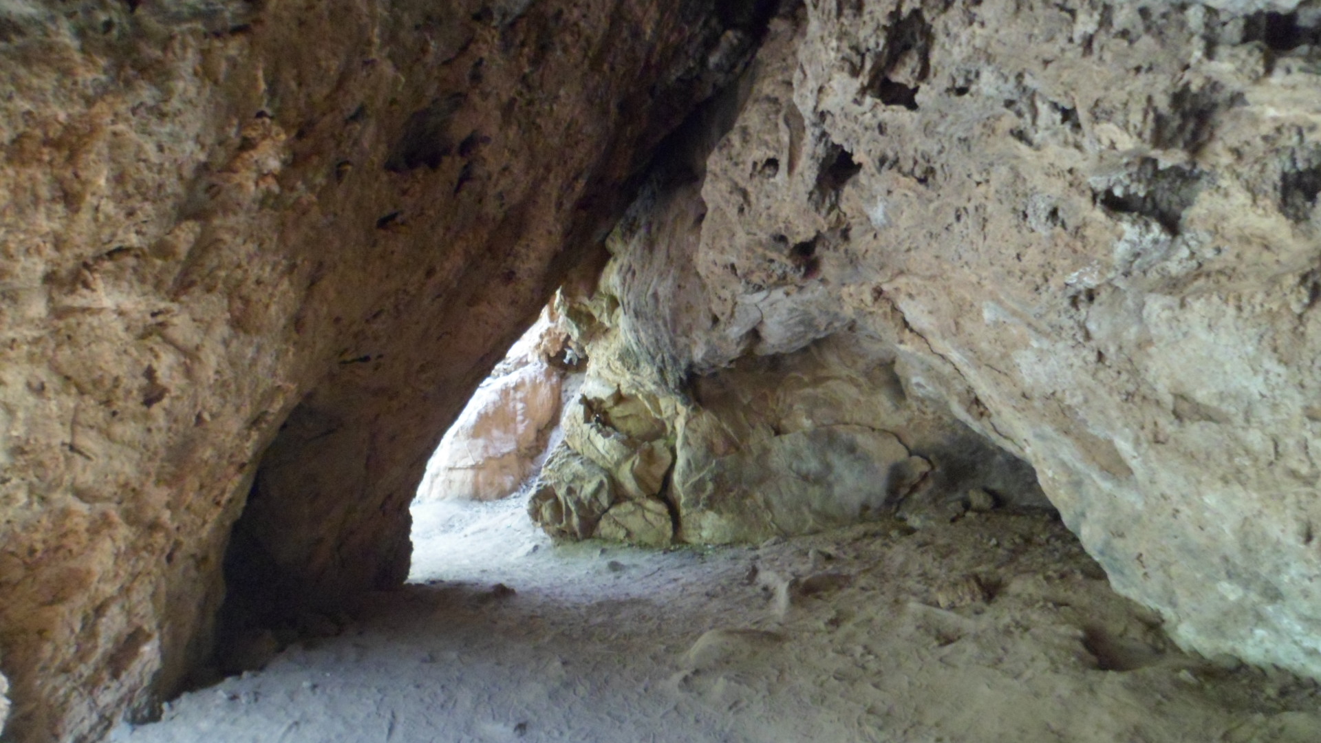
Small caves abound, north of the Natural Bridge.

SAM_4725

You may see the first of my confirmations, as the two ledges meet.

SAM_4727

SAM_4735

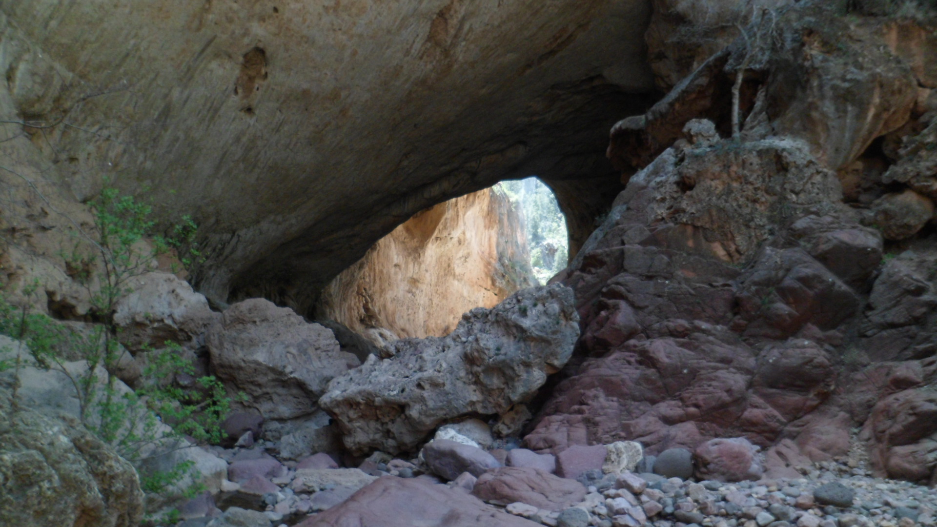
Segments of the Bridge show escape hatches for the light.

SAM_4737

SAM_4739

SAM_4741

SAM_4748

I stood, contemplating the Natural Bridge, for about ten minutes, while encouraging those who had selected to traverse the narrow ledge between the north and south sides.  I can’t see the thrill, but they felt it.

After a satisfying lunch at Early Bird Restaurant, in Pine, I headed over to Pine Trailhead, for a five-mile roundtrip intro to the Arizona Trail.

SAM_4750

Actually, I have walked about three miles or so of the Trail, in Davidson Canyon, near Tucson.  The Trail itself runs 807 miles, 795 of which go directly from the Mexican border to the Utah state line.  The other twelve miles circumnavigate Flagstaff.

I chose Oak Springs Trail, which takes one across Highway 87, over to a Reservoir and up to a ridge line.

Spring is springing!  These looks like houndstongues, but I could be mistaken.

SAM_4752

There was no mistaking the horned lizard, however.

SAM_4754

I rested at this little nook, just east of a reservoir, called Bradshaw Tank.

SAM_4757

SAM_4761

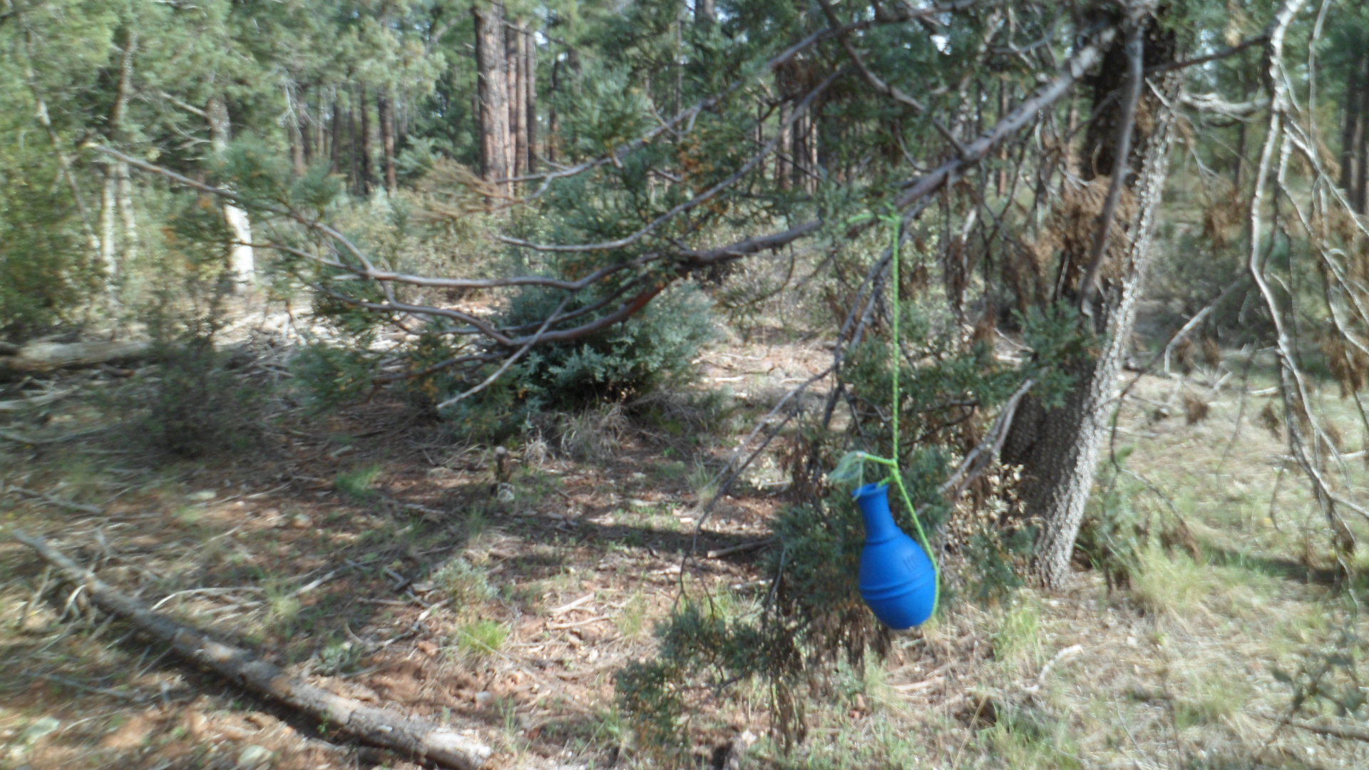
I did not go all the way to Oak Spring, choosing to save the majority of this magnificent trail for another time.  There were some anomalous sights on the way back:  A memento of a previous hiker’s visit;

SAM_4769

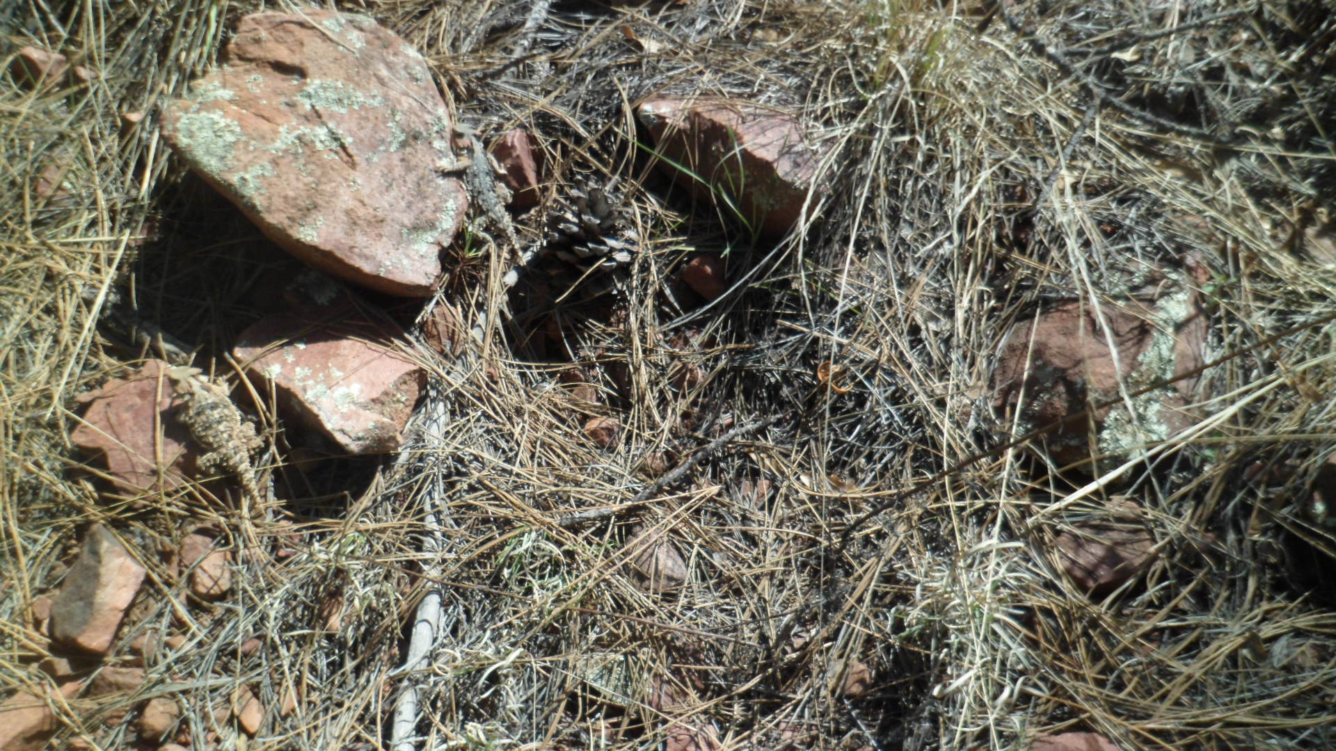
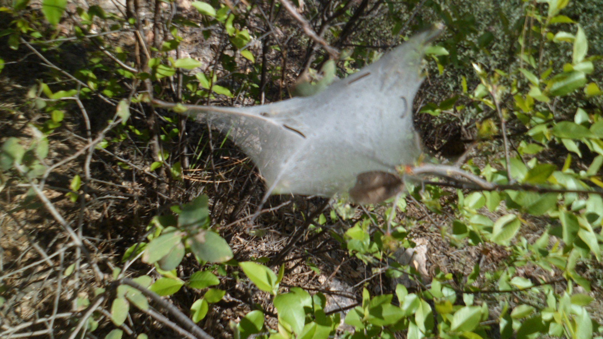
A scene of life that is emerging;

SAM_4770

and finally, my second confirmation of the day.

SAM_4765

I headed back down towards Camp Verde and Prescott, after that.

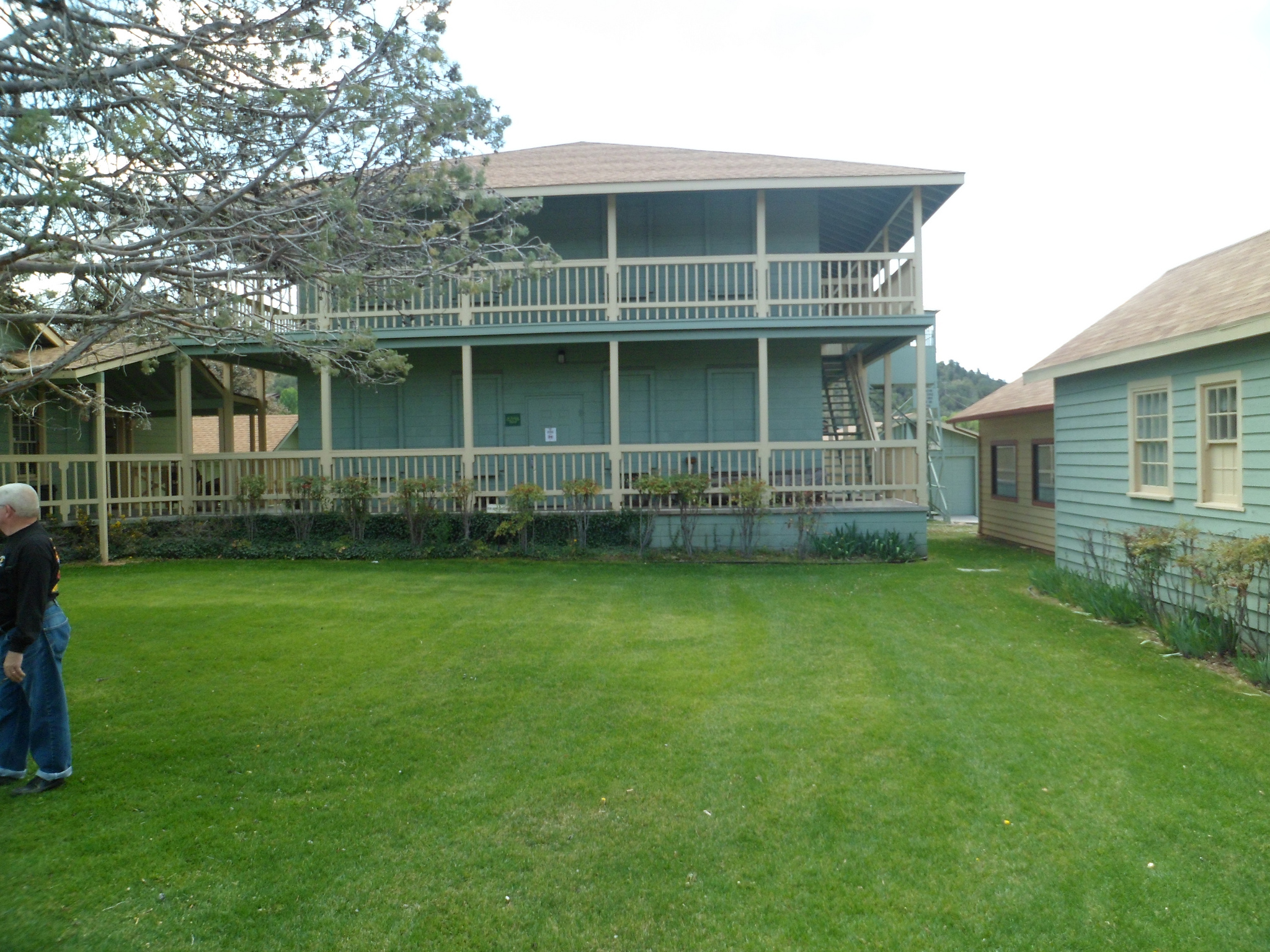
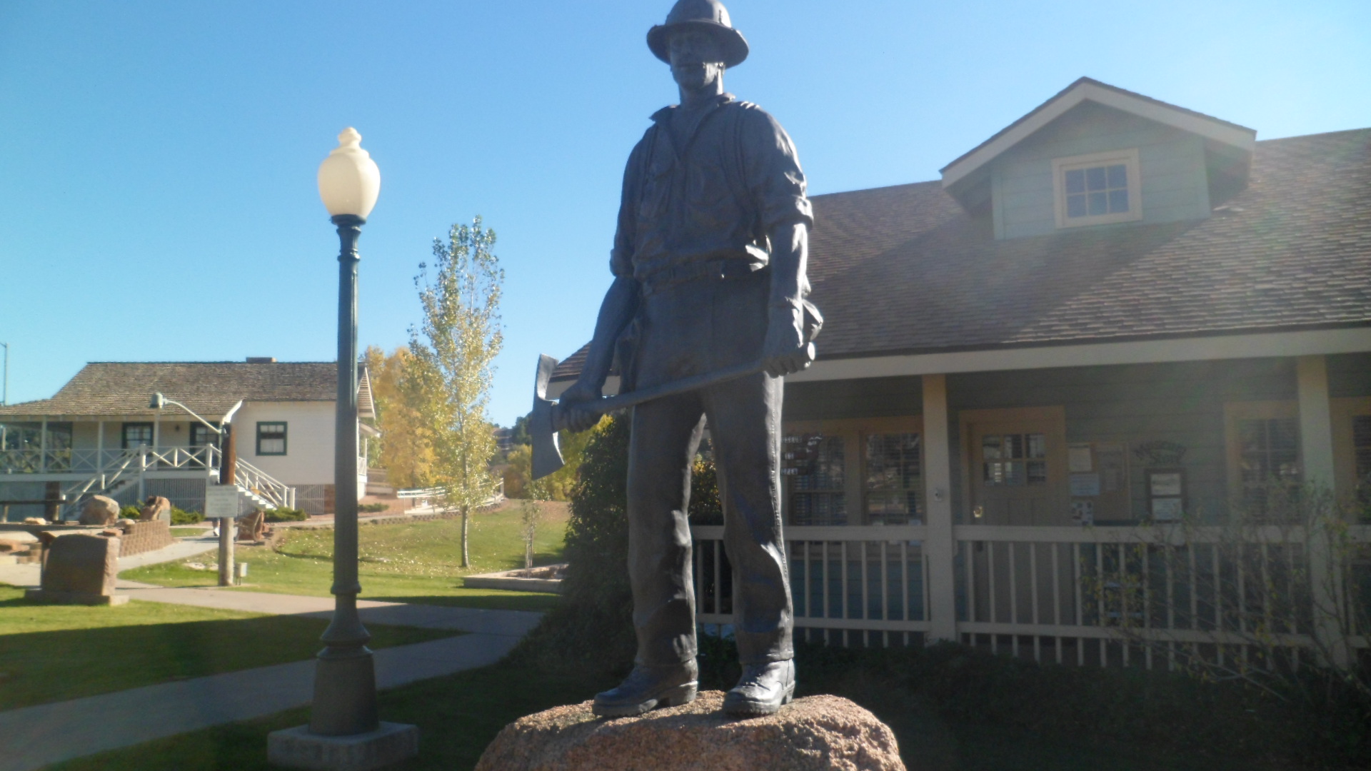
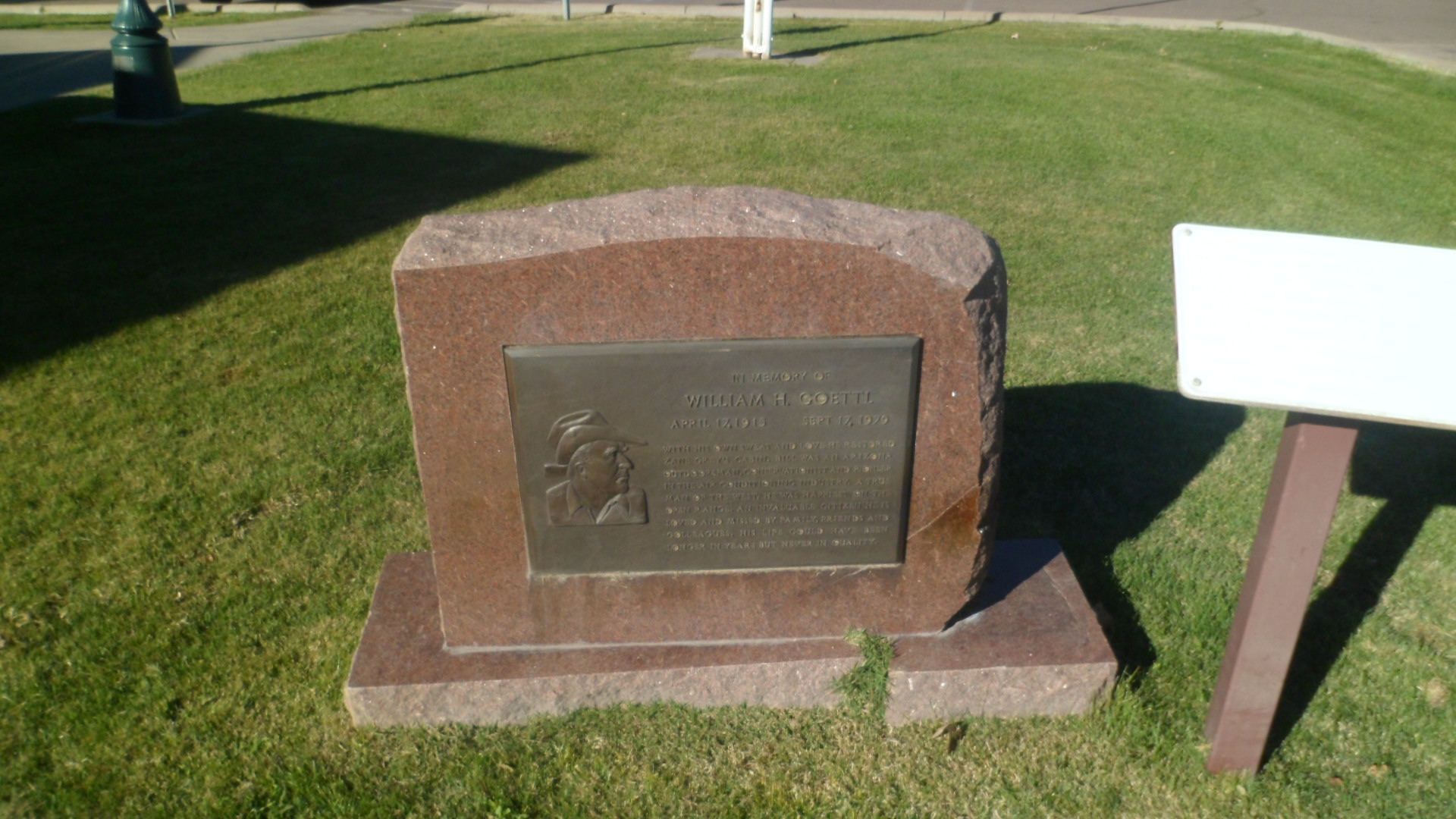
There is an interesting pullout, on the way up to the Mogollon Rim, at Mile 13 of the General Crook Highway.  This area is closely associated with the unfortunate conflict between the U.S. Cavalry and the Tonto Apaches, as I have explained in a 2012 post on  Fort Verde State Park.

SAM_4687

SAM_4688

Thus was the interplay between light and shadow.  Little did I know, driving down the switchbacks and along I-17 towards Hwy 169, and home, that this drive would likely be the last, for my trusty Kia Optima.  Its brakes locked, as I approached the stop sign at the 169 just a bit too fast, and ended in a ditch.  Two hours later, my car, shattered windshield, deployed air bag and all, was in a tow yard.  I was at home, explaining to those closest to me, by phone, what had happened, as my client listened and offered his own support, while organizing his possessions for Monday’s move.  The State Patrol and the judge in Mayer are sympathetic, but still say I need to take an online Traffic Safety course.  Yes, indeed,  officers, and Your Honour.  I will take the course, treat my scrapes and scratches, work with the insurance company, get back to mobility and not take anything for granted, ever again.

Happy Easter.

A Rim Country Saturday, Part 2: Flecks of Gold and A Lingering Elvira

8

November 8, 2014, Payson-8693191109_264ac6385e_k

Every town in the Southwest, and from what I’ve seen, just about every town anywhere else, has a story to tell.  Our Arizona burgs generally have a wealth of tales revolving around cowboys, copper miners and Cavalry.  Payson, and the Mogollon Rim, have their share of cattle ranches, the grass being very sweet thereabouts.  There are about a dozen kinds of barbed wire, and twice as many cattle brands, on display at Rim Country Historical Museum, which was my second stop on this gorgeous Saturday afternoon, last weekend. It is housed in a replica of the Herron Hotel, a former mainstay of old Payson.  The hotel burned down in 1918.

The mines were less forthcoming here than in other places, as the granite contained only flecks of gold, and silver.  An attempt at mining in the vicinity of Tonto Natural Bridge, at Kohl’s Ranch and a few other areas along the west Mogollon sector, produced very little, if any, in terms of precious and profitable ore.  I noticed a unique type of mining cart in the museum’s Oxbow Mine display.  It was able to pivot, sideways, so as to be able to stop, on the steep slanted terrain, which characterized the few lucrative mines in the area, of which Oxbow was the largest.

General George Crook tried to keep the Tonto Apaches on a reservation near Payson, but the bean counters in Washington determined otherwise.  The hapless Apaches were moved, first to San Carlos, in the eastern Sonora Desert, then to Fort Sill, Oklahoma.  They were able to, eventually, return to the Payson area, and today the Tonto Apache Community is an integral part of the social and economic life of northern Gila County.  A replica of an Apache gowah, or round, thatched dwelling, is displayed in the Museum’s east room.

The Museum staff was still in the spirit of Halloween, so a skeleton or two, and Elvira, the TV horror movie hostess of the 1980’s, were hanging around, perhaps waiting for the Thanksgiving theme characters to show their faces.  Photos of the interior were not allowed, but follow this link, and you may see for yourselves:  http://paysonrimcountry.com/The-Town/Attractions/Museums/Rim-Country-Museum.

I was able to take some shots of the outside surroundings.  First is a view of Green Lake, a man-made gem from the 1980’s.

SAM_3169

Time was that logging, also, was a key component of the Rim’s economy, as it was across the Ponderosa Pine region, from Chihuahua to Alberta.  With logging’s demise came overgrowth, and increased fire danger.   This was one of the unintended consequences of clear-cutting, which focused on relatively small areas, for the sake of maximizing profit.  Clear-cutting incited environmental activism, which brought logging to a standstill.  Trees thus became overgrown, and nature’s way to handle overgrowth is fire.  In June, 1990, the Dude Fire laid waste to 24,ooo acres of land in the Rim Country northeast of Payson.  The original Zane Grey Cabin was a casualty of that fire, as were six Wildland Firefighters.   (The Zane Grey Cabin which now exists at Green Lake Park is the result of an intense community effort, including replicated furniture and other wood work by Industrial Arts students at Payson High School.)  A special exhibit, in advance of the 25th anniversary of the Dude Fire, in June, 2015, tells the story of that horrific loss.  As I was wearing a t-shirt honouring the men killed in June, 2014, at Yarnell Hill, the docent asked whether I would be disturbed at viewing the video of the Payson tragedy.  I watched it, solemnly.  One community’s tragedy is just as worthy of respect and its grief equally deserving of validation, as any other.  The firemen are honoured with a statue outside the Museum.

SAM_3170

Also honoured is William Goettl (GETT-l), a Phoenix heating and cooling entrepreneur, who bought, and lived in, the old Zane Grey Cabin, when Zane’s family no longer wanted it.  His family underwrote a goodly portion of the replicating efforts for the Cabin we are able to visit today.

SAM_3171

Finally, just to the east of the Museum’s main building is an original cabin of the Haught family, who were Zane Grey’s key helpers in his ranching efforts.  They lived near what today is the settlement of Kohl’s Ranch, east of Payson.

SAM_3172

This complex does an excellent job of telling the many stories of the western Mogollon Rim.

NEXT:  Tonto Natural Bridge