January 3, 2016, Prescott- This weekend is billed as the last stretch of fair weather, before a series of storms takes up the entire first week of January. I spent yesterday afternoon with that in mind, heading for the southern portion of the above-mentioned trail segment.
The trail I followed was only completed in July of last year, following a multi-party easement that involves the Prescott-Yavapai Indian Community, the Bureau of Land Management, the U.S. Forest Service, the State Land Trust and the City of Prescott. It was the last large link in the trail system.
So, it was with great satisfaction that I was able to do an 8-mile round trip, from Turley Trailhead, at the west end of Government Canyon, along the edge of that sizable chasm, around Badger Peak (also known as “P” Mountain), in back of three shopping plazas, to the edge of Highway 69, where an underpass links the trail with the last segment I covered, in late Fall of last year.
The trail was mostly modest, or so it seemed to me. Two young women came the other way, with their dog, and told me they thought the eastward trail was easier than the way I was heading. Somehow, I did not find either way all that taxing. I’m sure they would do just fine, being at least thirty years my junior.
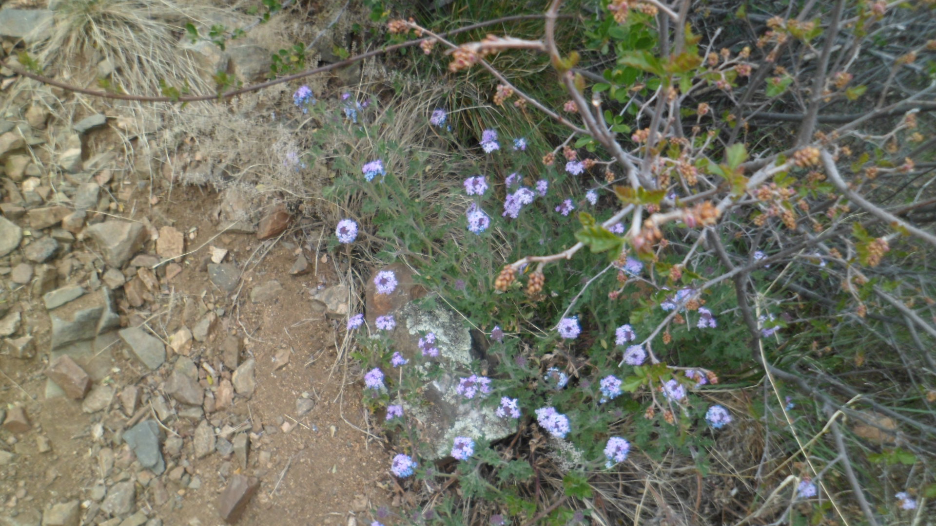
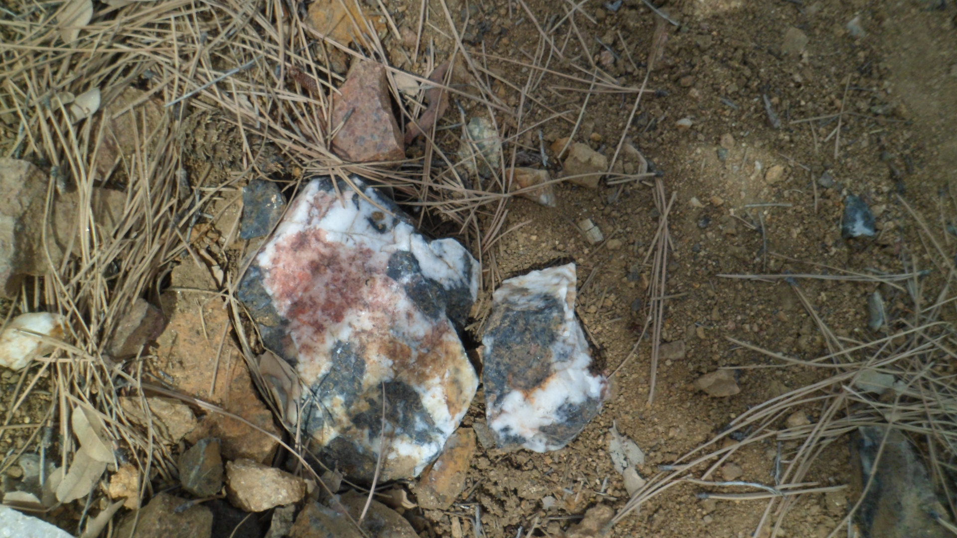
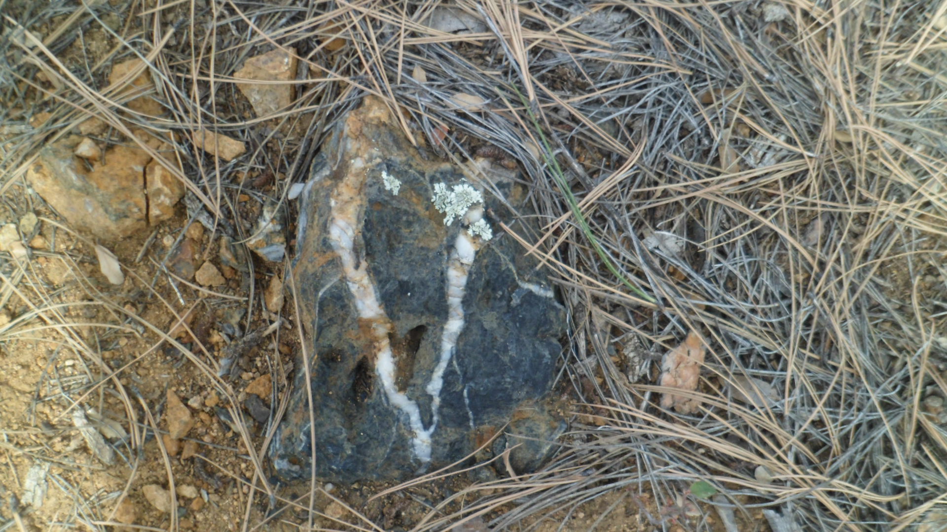
Here are a few scenes from trailside.

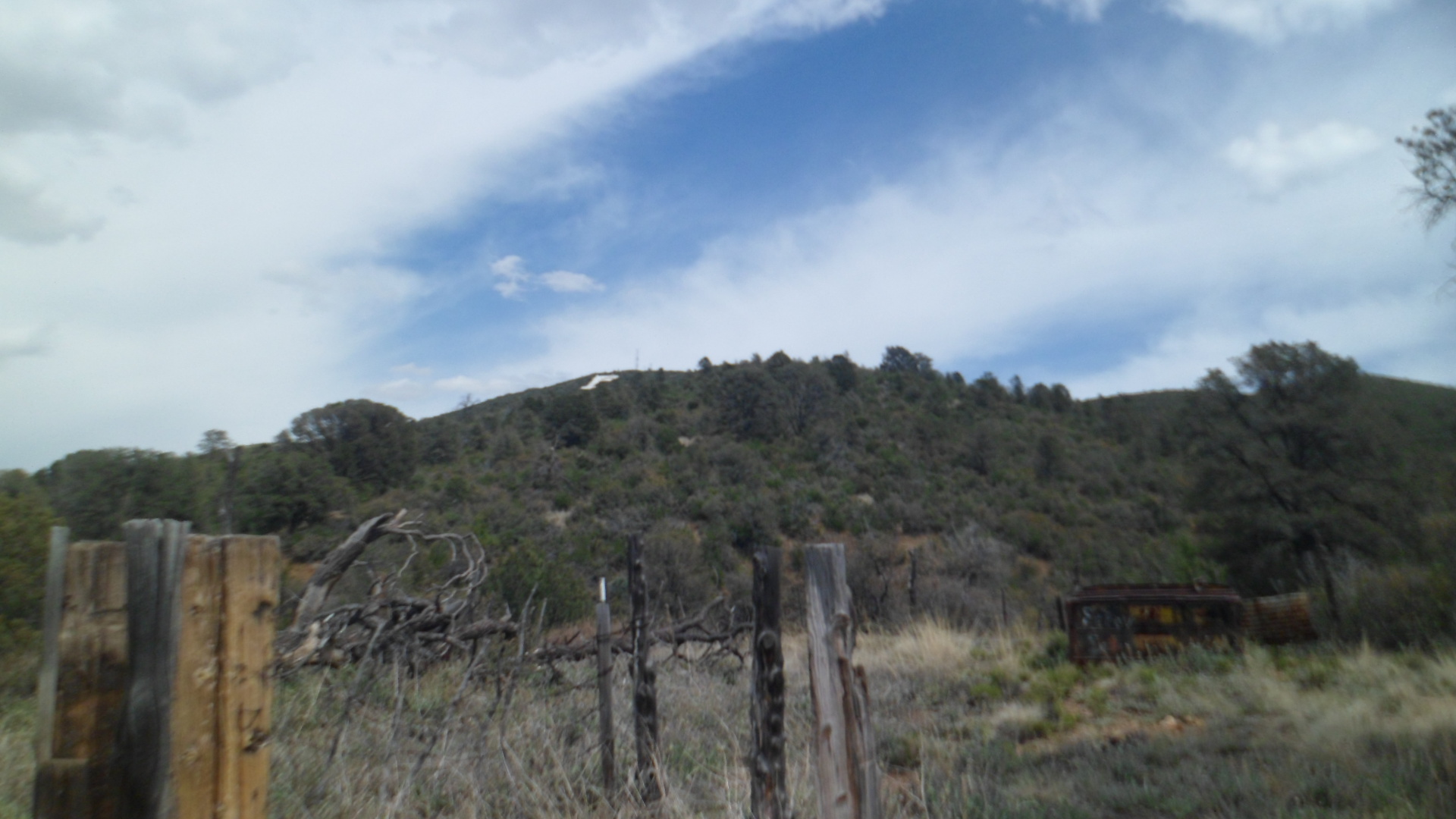
Limestone crag, on north side of Badger Peak, Prescott.

Junction of Turley and Badger Peak Trails.


Above, the P on Badger Peak’s north side is visible, as is frost on the trail.


The day ended perfectly, with a sunbow appearing to the northwest. Along with the nearly two-dozen heart-shaped rocks I spotted along the way, this augurs well for my 2016.