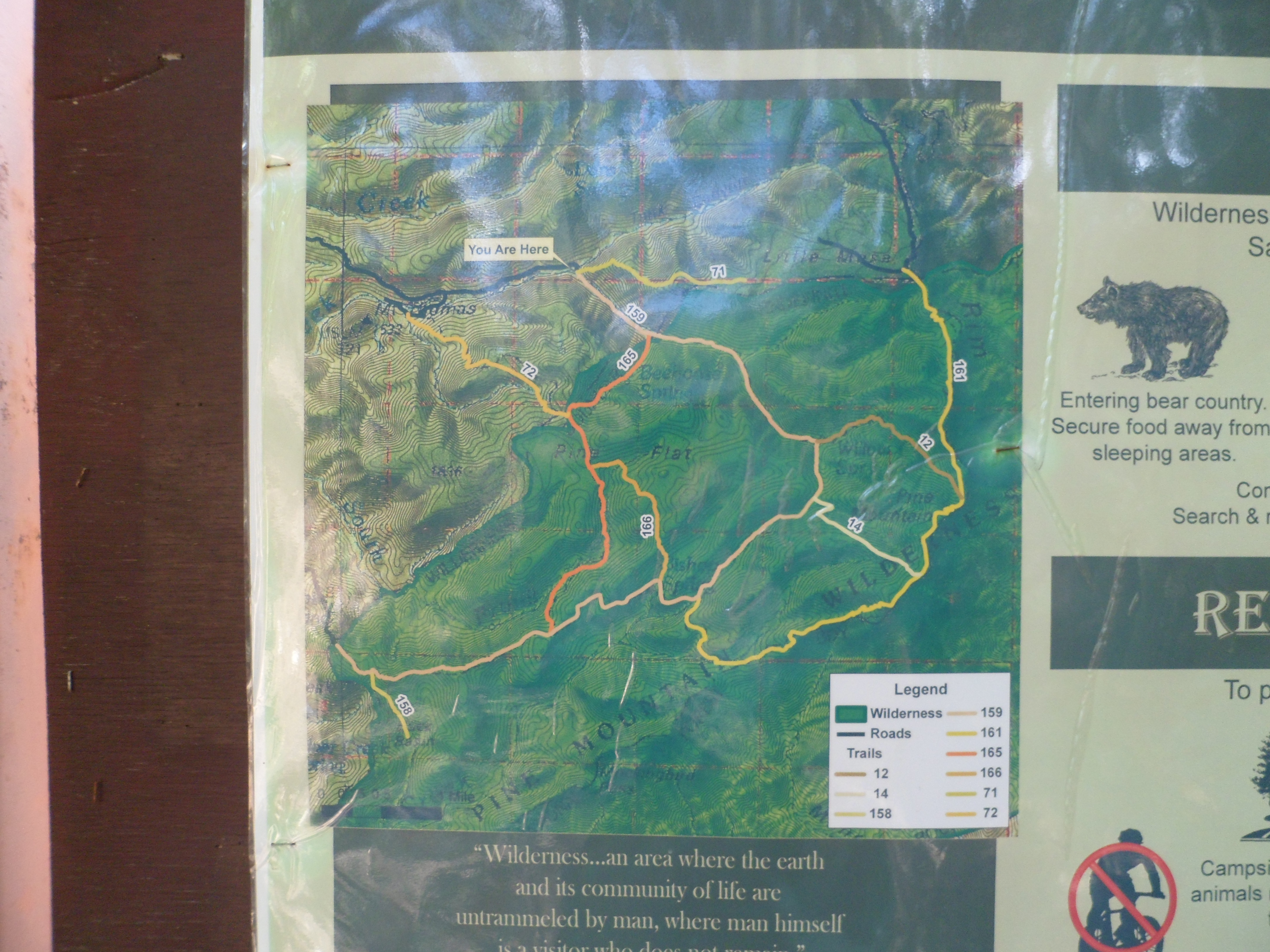
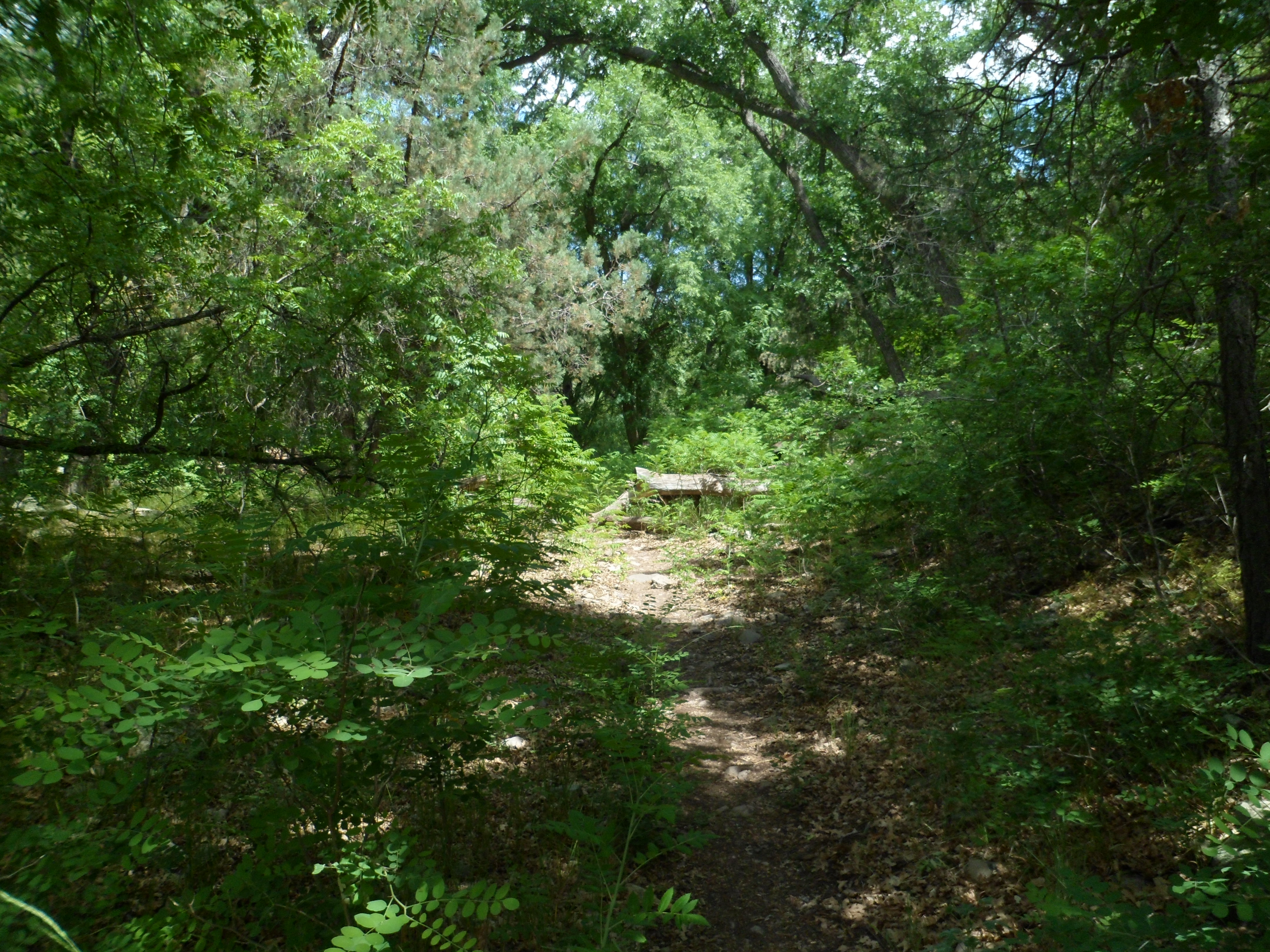
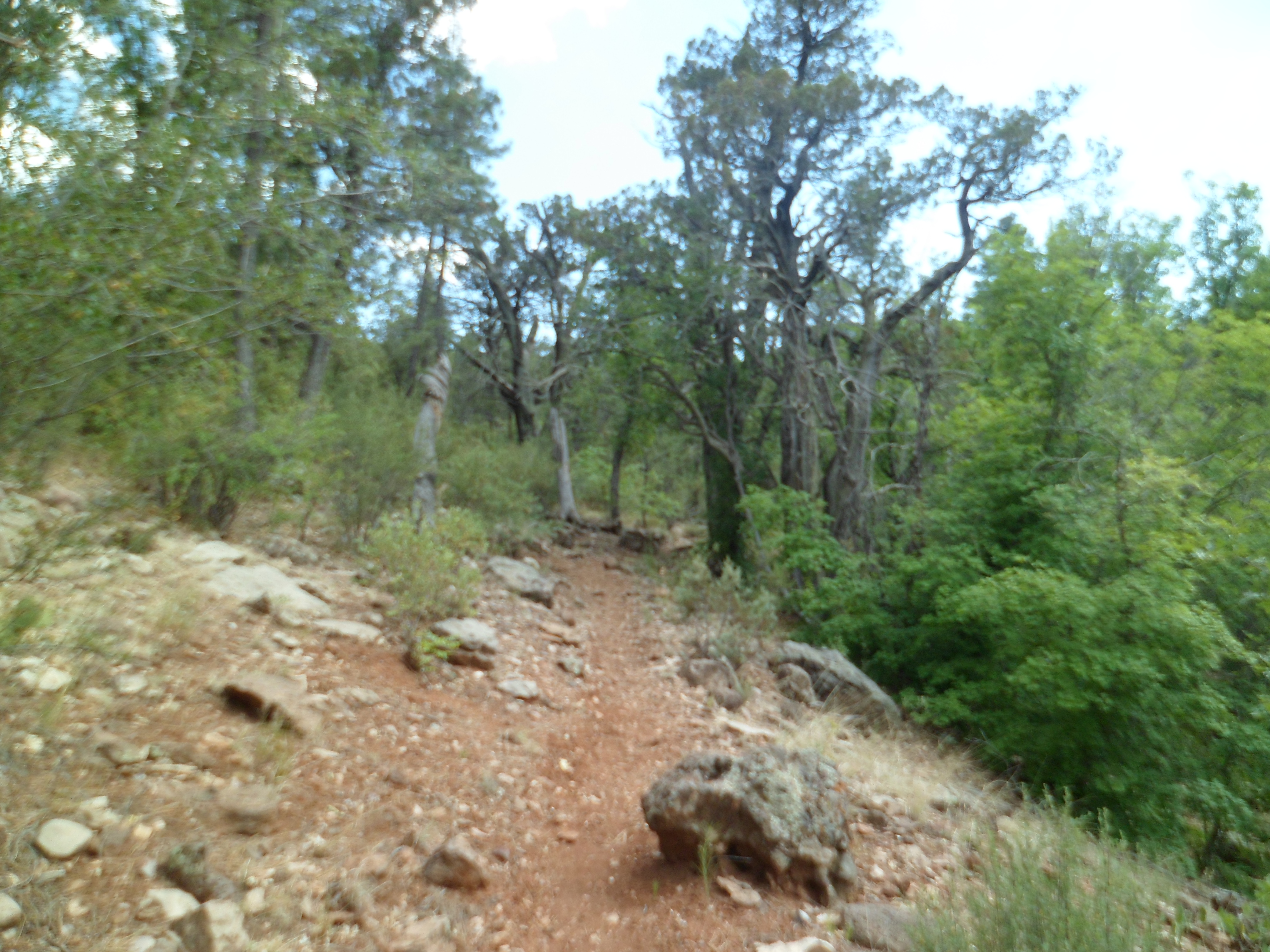
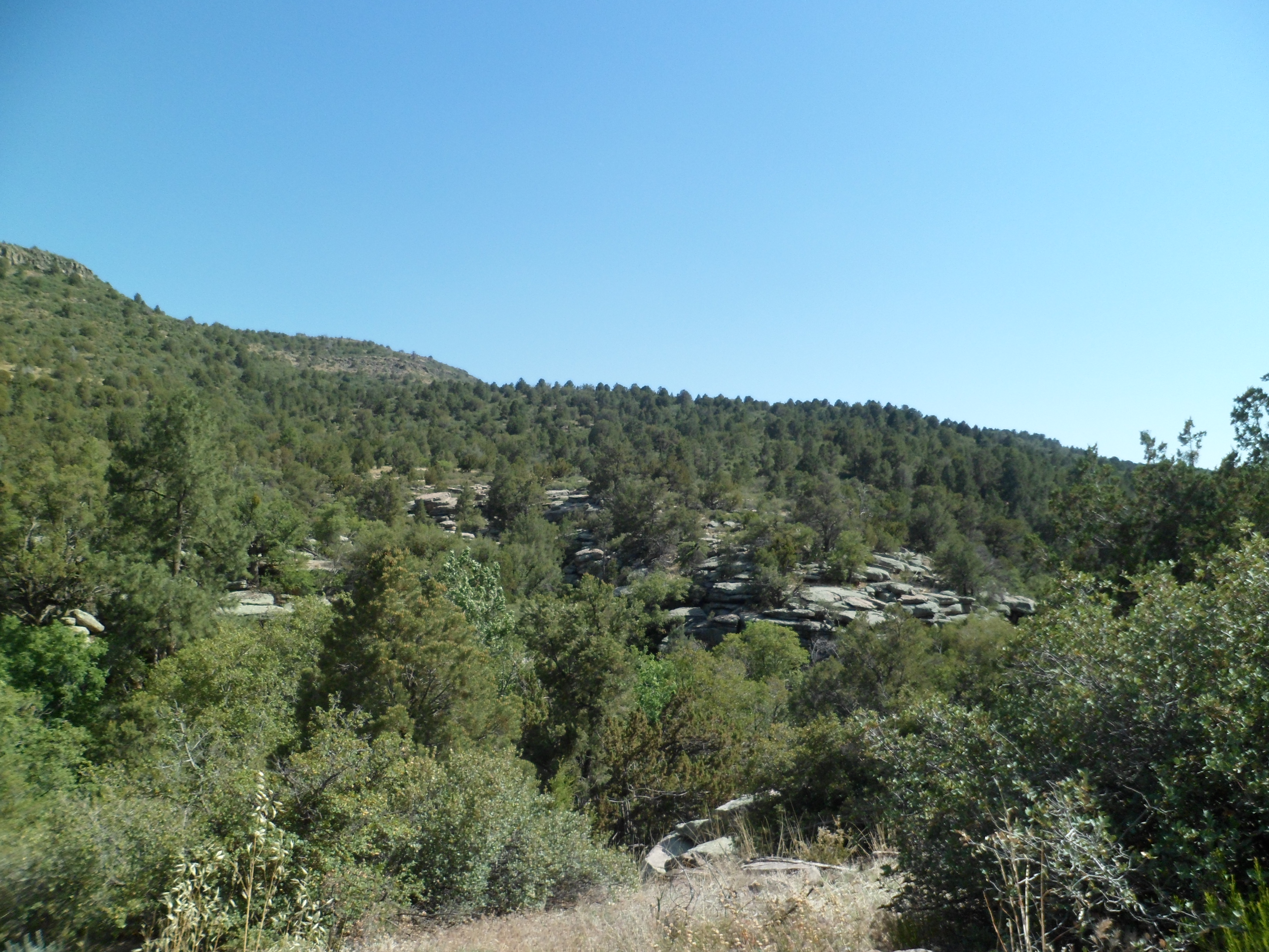
It doesn’t rain any more intensely on Pine Mountain than it does anywhere else in Arizona. I did find, though, that the trail to Nelson Place Spring and onward along Beehouse Canyon Trail is intensely green.
It attracts the same intense wildlife as the Mazatzal Range, some forty miles to the southeast- including mountain lions, bobcats and bears.
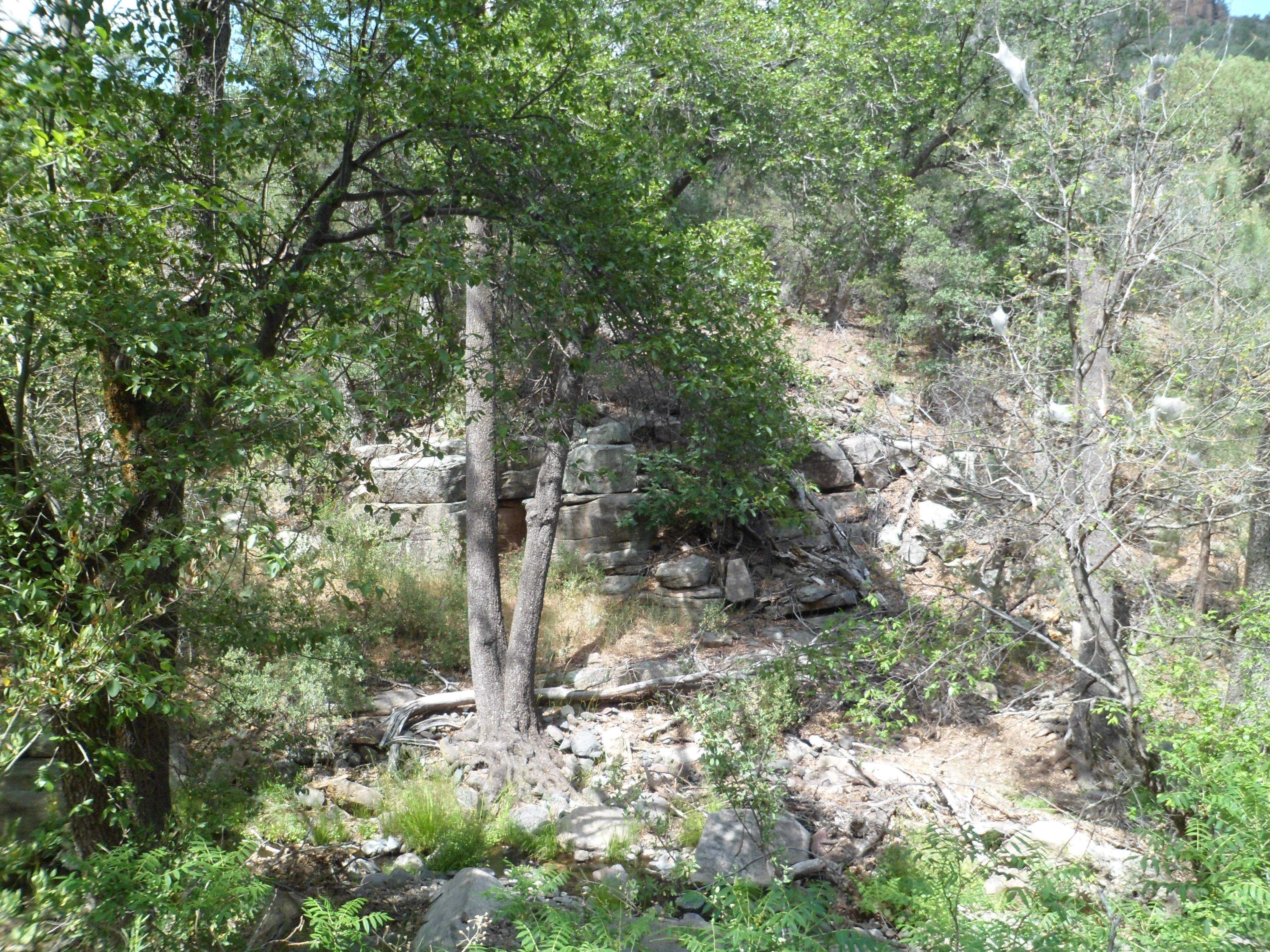
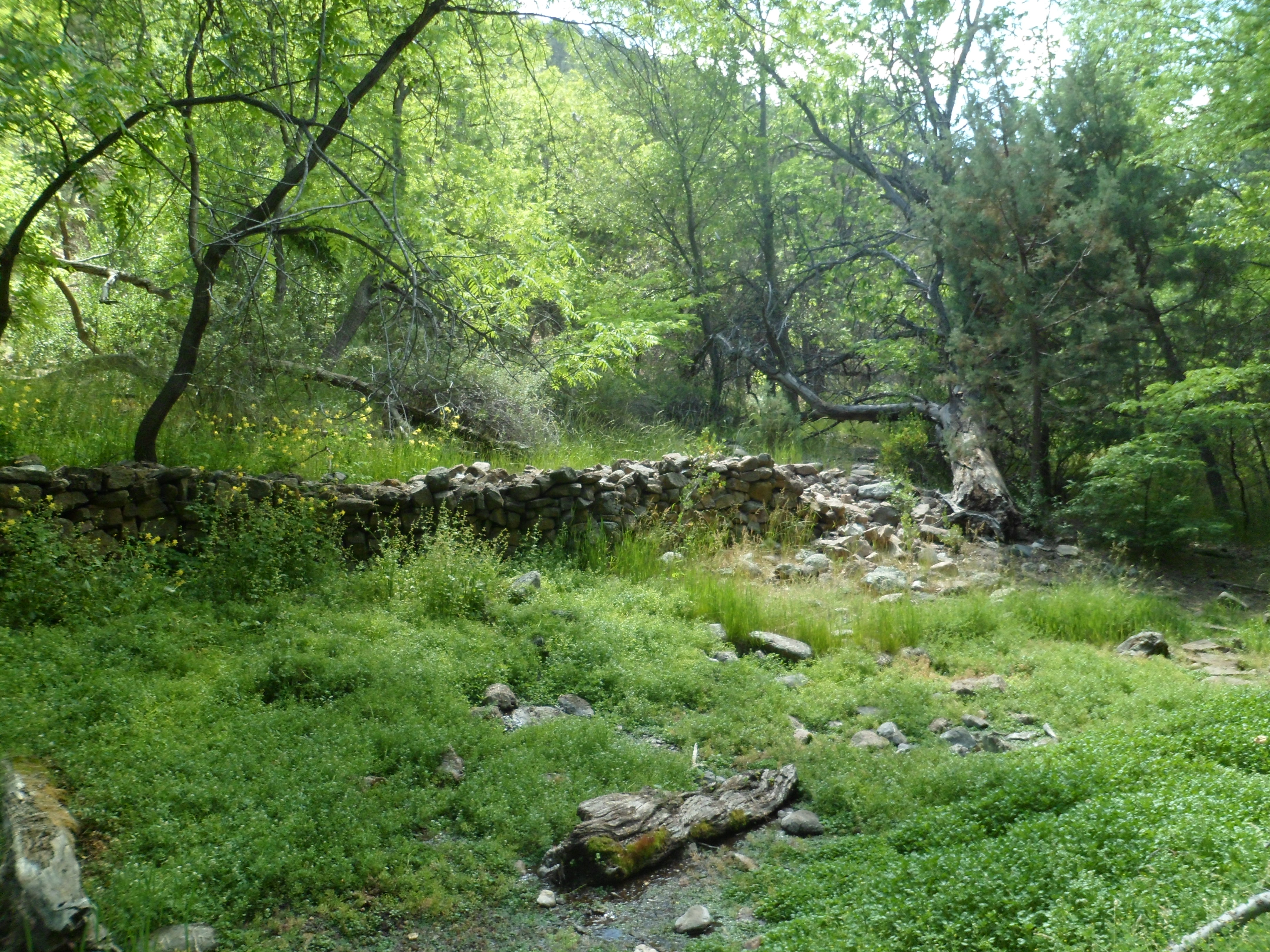
So, here are a few scenes near Nelson Place Spring, where there are but remnants of some stone walls to show the vibrant life that people had here, 100 years ago.
Not far along Beehouse Canyon Trail, I got a fine view of Beehouse Mesa.
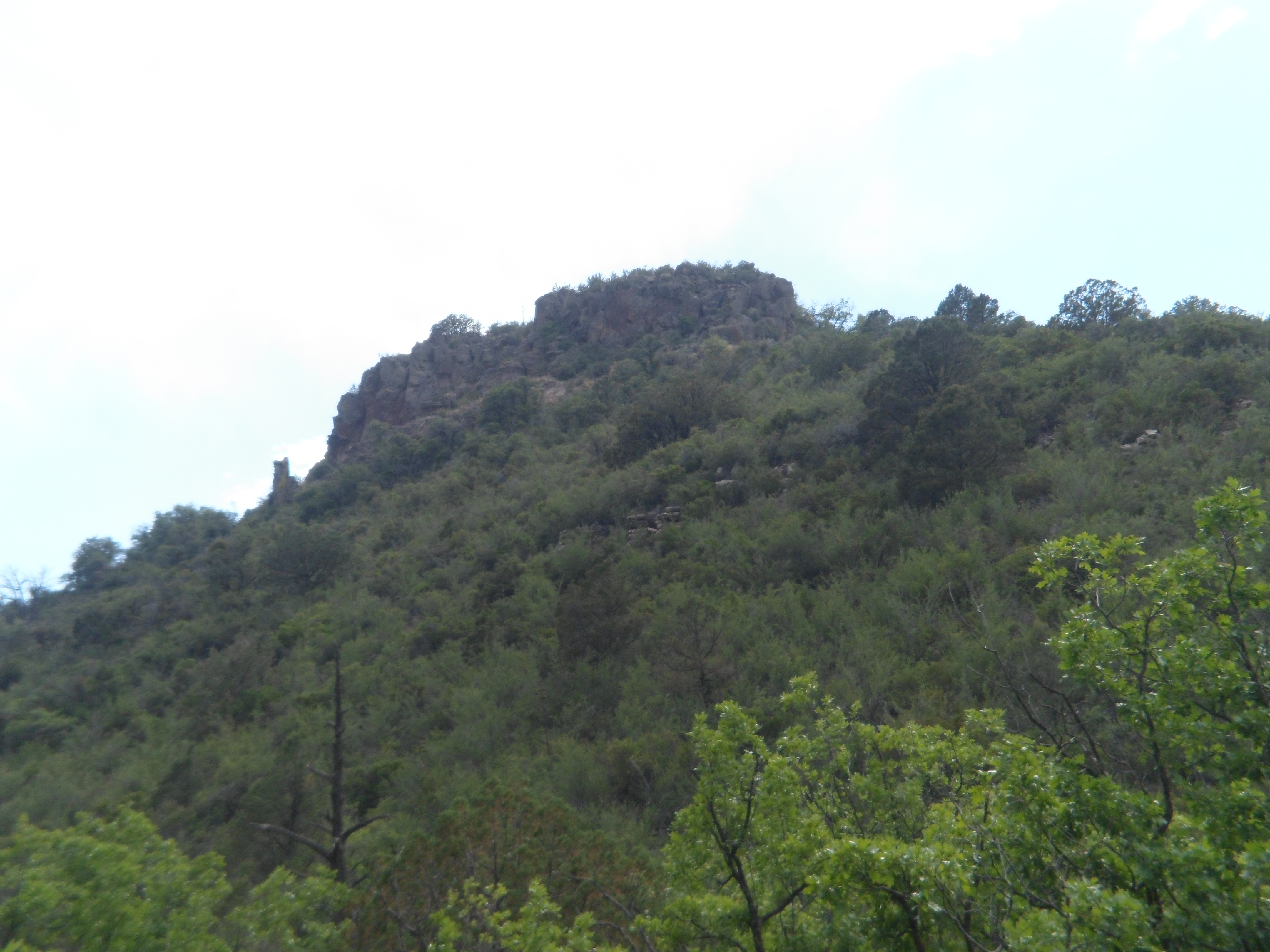
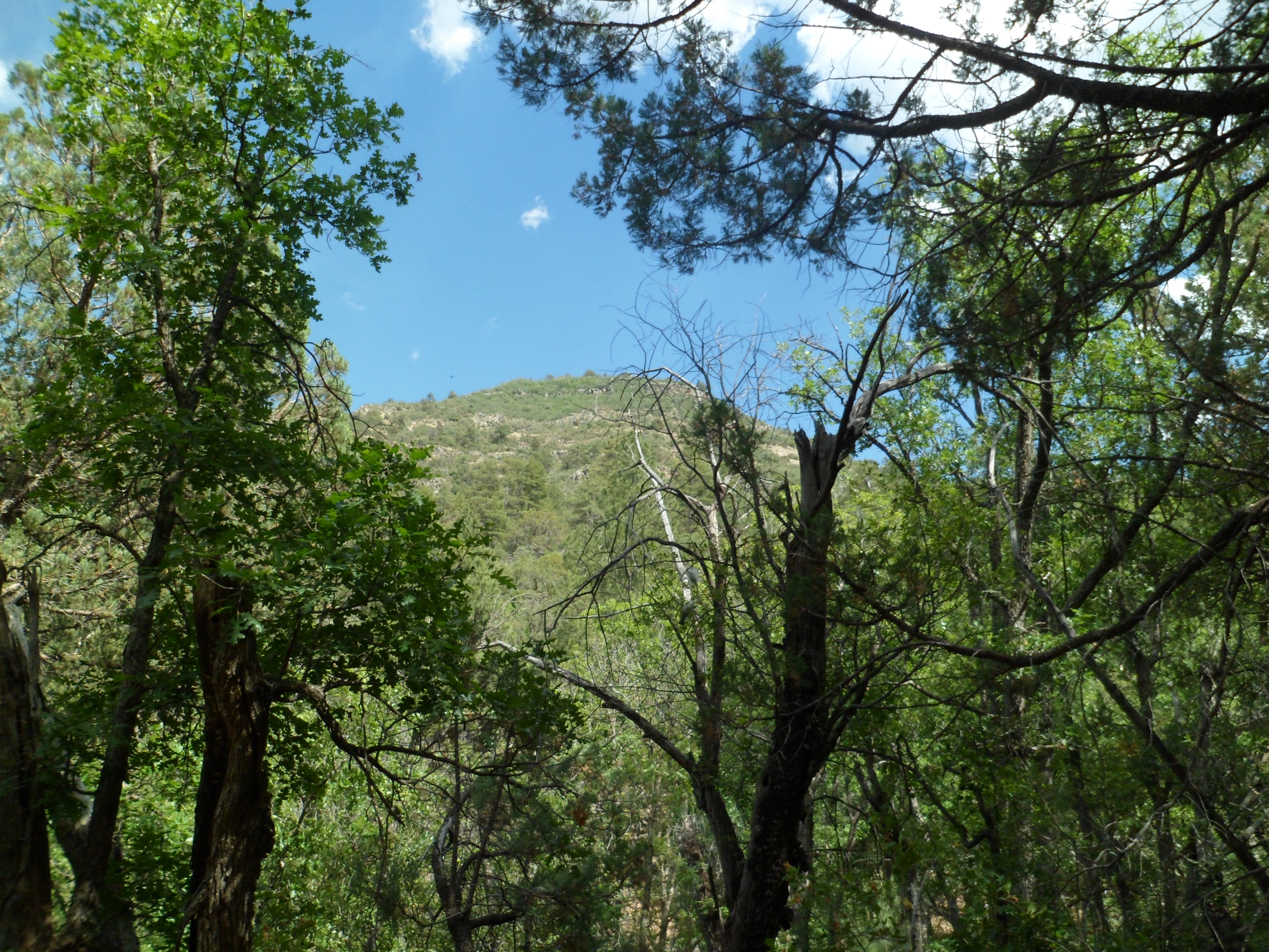
Going in and out of the forest, I got fine views of Pine Mountain itself, which will be the focus of another hike, sometime in the next year or two.
On the way out of the Wilderness, I enjoyed views of Sycamore Creek Gorge, not to be confused with Sycamore Canyon, which follows the same body of water, but lies several miles north of here.
So went my mini-adventure, on what would have been our 31st wedding anniversary, June 6, 2013.
Yesterday would have been our thirty-first wedding anniversary. June 6 will always be one of those days when something out of the ordinary calls to me, to be done.
I chose to have lunch with the arcology students at Arcosanti, the avant-garde community-in-progress that was started by the late Paolo Soleri, in the early 1970’s. I was not disappointed; the buffet fare was well-balanced and freshly made. Besides, having to wait thirty minutes, in the small outdoor garden, gave me a chance to contemplate creatures like a red-tailed hawk, hummingbirds and a chuckawalla.
After this fine meal, I headed northeast, to Pine Mountain Wilderness, a rarely visited area, between Cordes Junction and Payson. At its highest point, PMW affords magnificent views of the Verde River, with steep canyon walls in between. As it was late in the day for any blowout hike, I chose to spend an hour or so in Beehouse Canyon, a connector trail on the north side of PMW.
Of course, as with any remote wilderness, the route to the trailhead is itself a worthy experience. I met few humans along the narrow dirt road, but did slow down or stop for a robust juvenile coyote, a long bull snake and a spirited mule deer.
Here are a few scenes of the features presented by Forest Road 68. First, I encountered Estier Peak.
This short mountain is east of I-17, off Dugas Road.
Just east of Estier is five-mile long Horner Gulch.
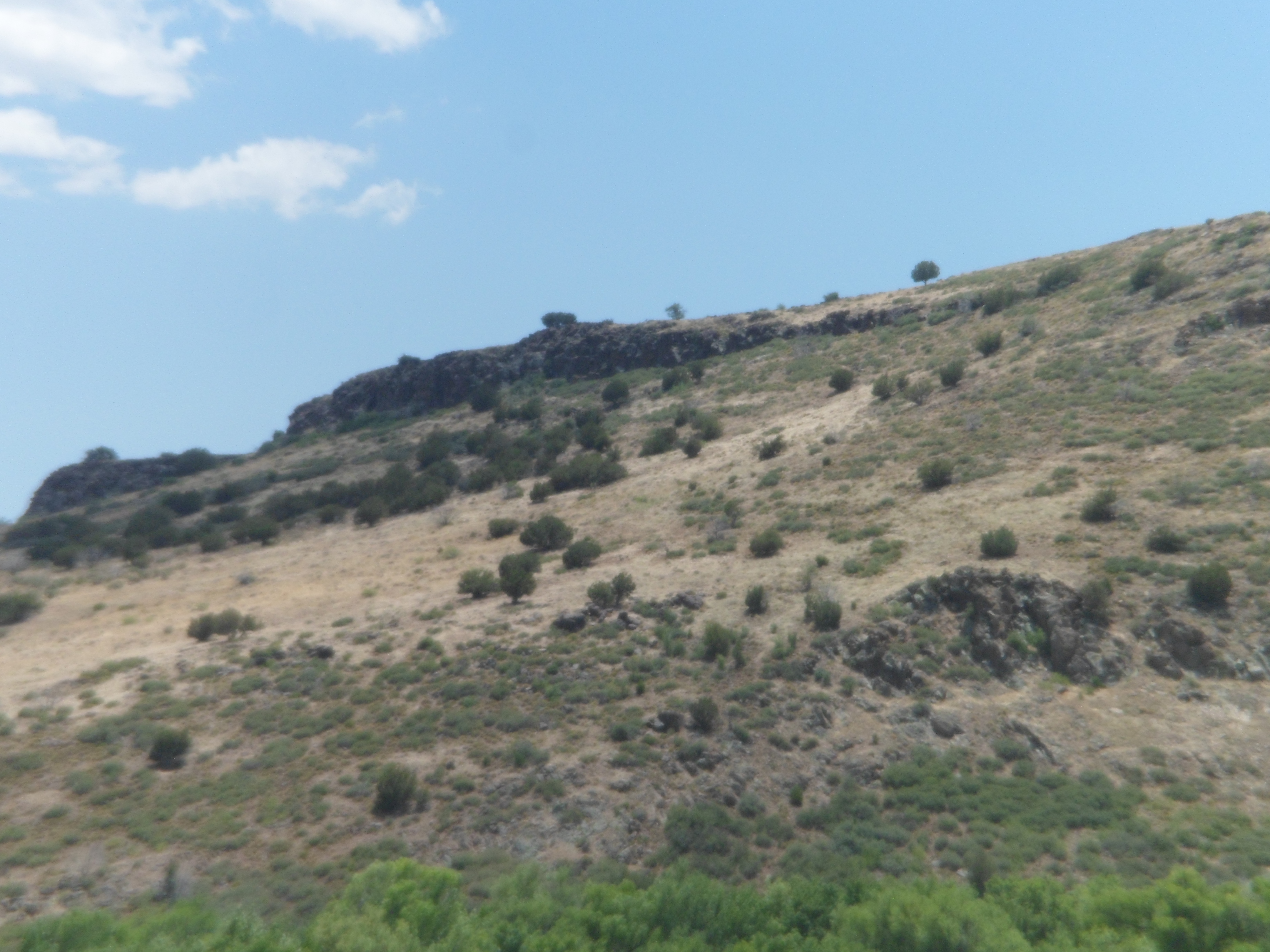
This long sub-canyon stretches for five miles along Forest Road 68, below Yellow Jacket Mesa, visible at the top.
Here is a longer view of Yellow Jacket Mesa.
This ridge runs northeastward, from Horner Gulch.
The area has several ranches, which are still fully operational. It also has the old mining town of Dugas, now a place of refuge for those needing to be “out-of-towners”.
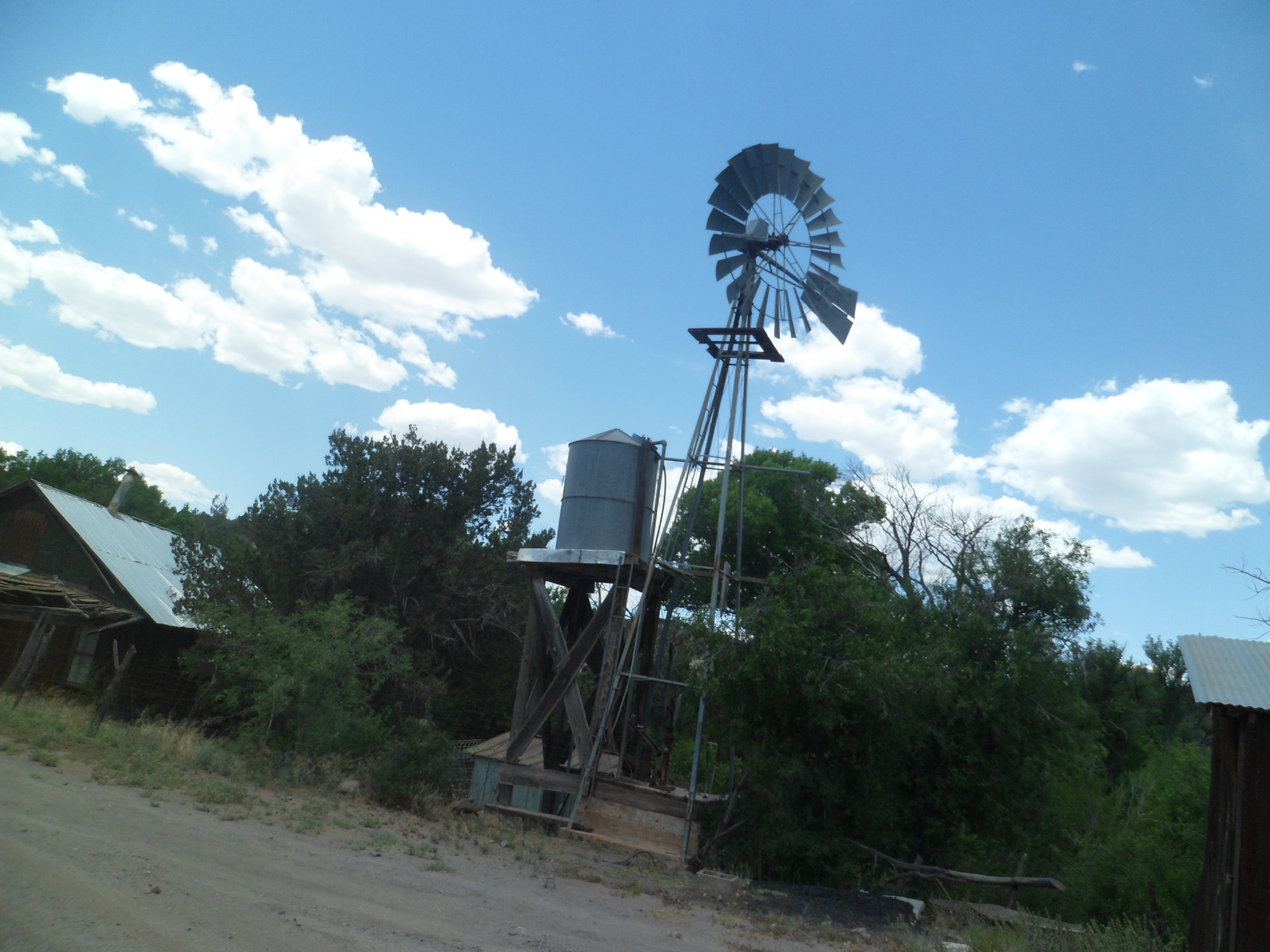
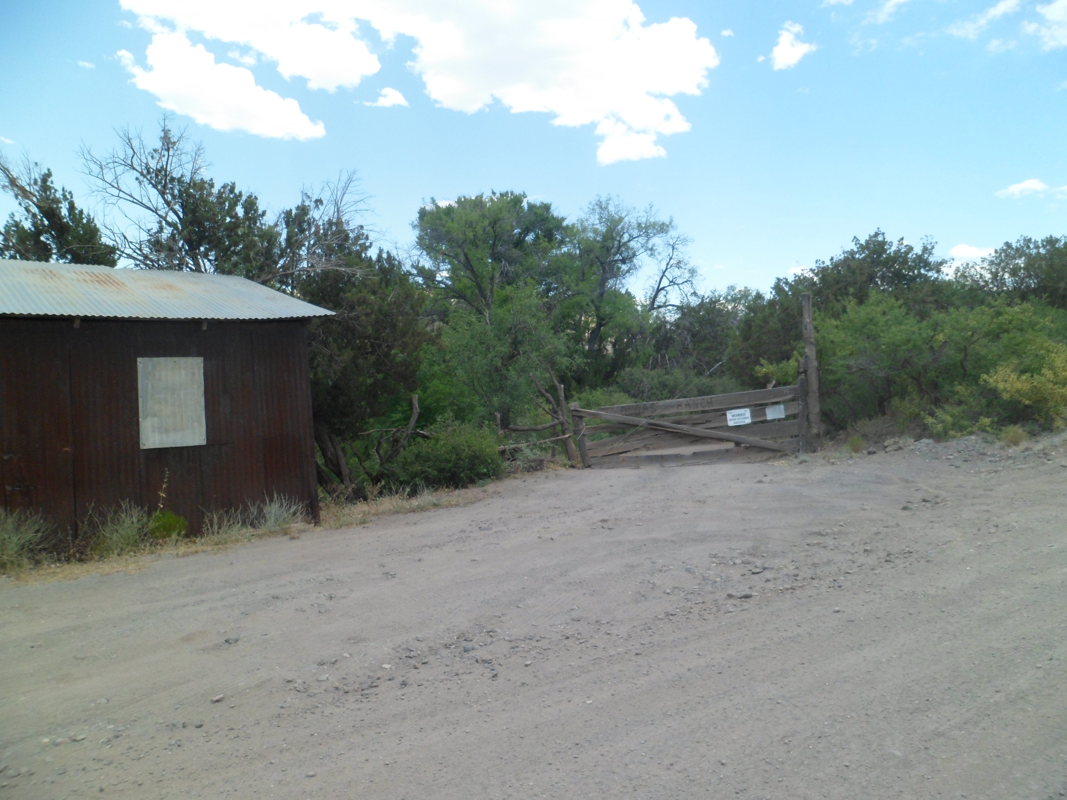
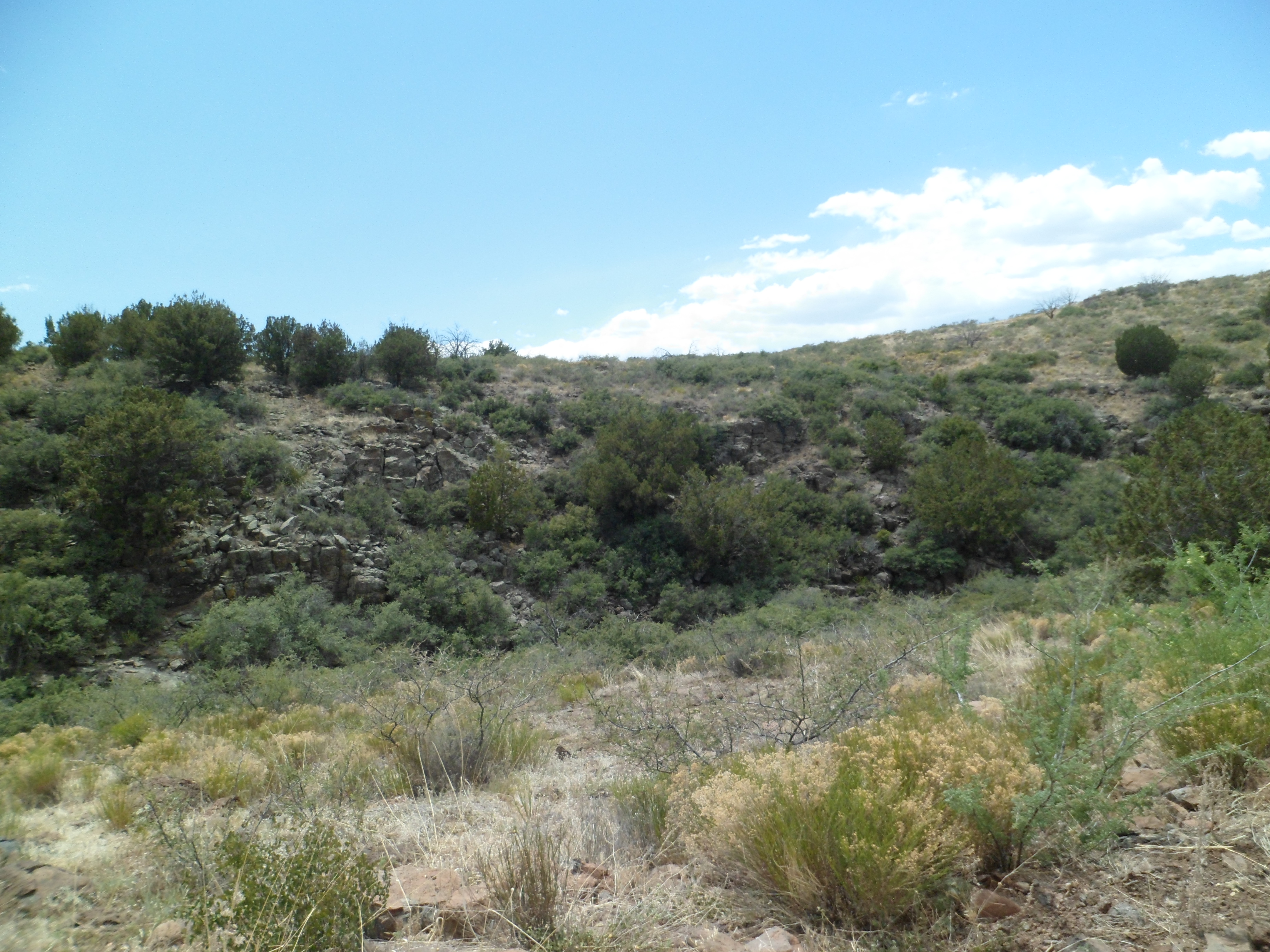
This is the remnant of yet another old mining town. Now, those who want to be left alone hang out here. They were nice enough to let me take two photos.This property is mostly abandoned. The owner supposedly just shows up once in a blue moon.This is the north ridge of Tule Canyon, which runs east of Dugas.
This is Mount Thomas. From here on, the landscape becomes more lush, with Sycamore Creek and the Verde River exerting greater influence.
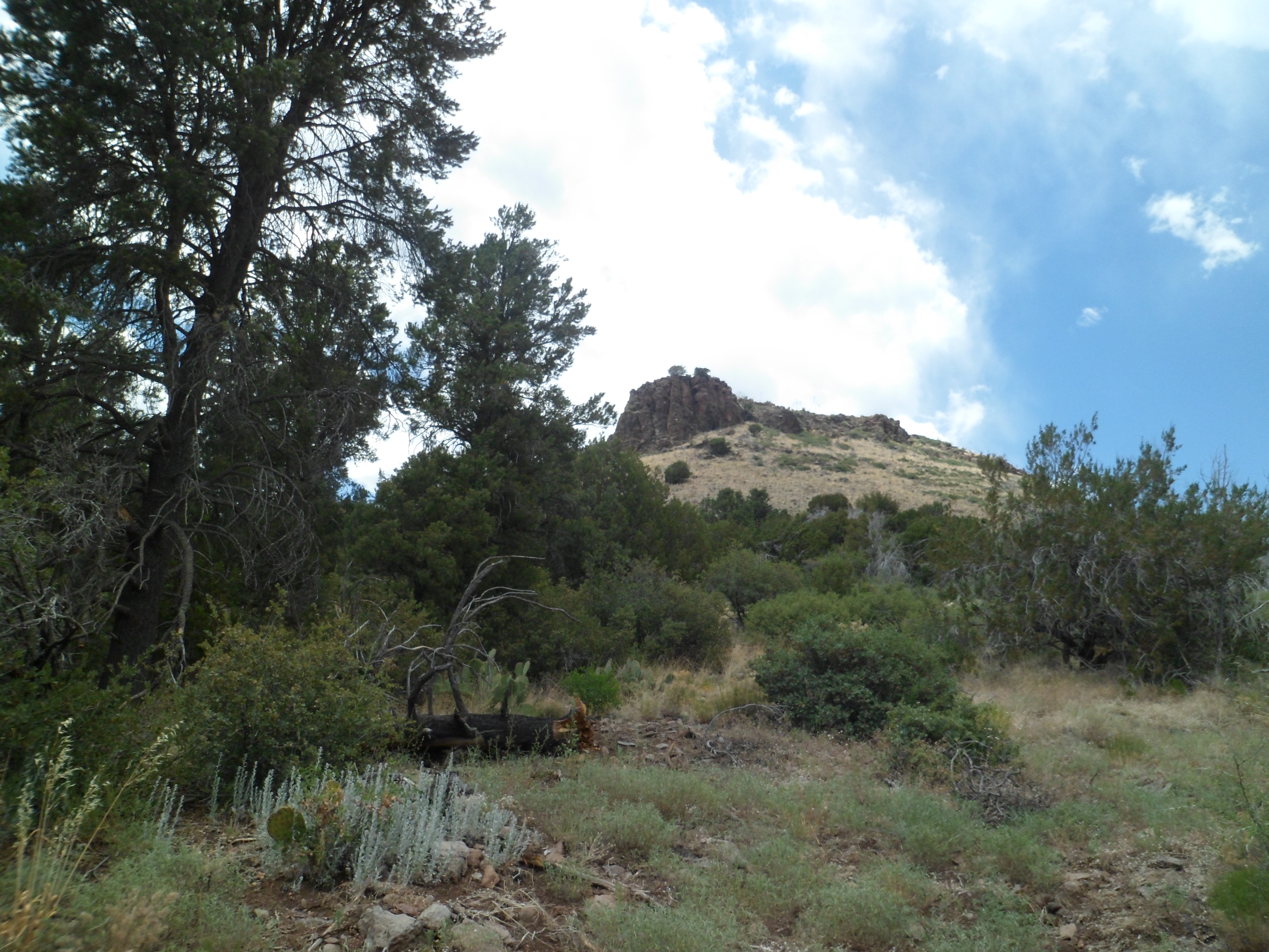
This igneous rock outcropping rises just southeast of Dugas, and about three miles southwest of Pine Mountain Wilderness
In the next post, I will showcase the canyon rising from Sycamore Creek, the northern first mile of Pine Mountain Trail, and the lushness of Beehouse Canyon.
This past weekend began a three-weekends-in-a-row series of downtown festivals in our fair city. The emphasis on June 1-2 was on Folk Arts of the Mountain Southwest, with various scenes like these at Sharlot Hall Historical Museum. A few thousand visitors came for chance to learn crafts from the 19th Century, like shearing, quiltmaking and woodcarving.
A goat is being shorn,and not altogether willingly.
A few blocks east, in Courthouse Square, a Block Party music fest was taking place. The Centennial Tree, planted on February 14, 2012, is tall enough to co-host the festivities.
When I was there, the Pistoleros were doing some 80’s hits.
They were followed by Zero Zero, serving up tunes of the ’90’s.
Events like these get me out of my shell, during a rare time of emotional stress, and are prime examples of what makes Prescott a special place in which to live.
Bill Williams was a mountain man, in the mid- 19th Century, trading with the Havasupai, Hualapai, Yavapai, Navajo and Hopi, in the north central region of Arizona. He is remembered by having the City of Williams, Bill Williams River, and this mountain named for him.
Bill Williams Mountain is the furthest west of a series of uplifts that rise majestically out of the semi-arid Colorado Plateau. The higher mountains in this loosely-constructed “range” are known collectively as the San Francisco Peaks, or Kachina Peaks. All are sacred to the five nations that call the area home. They are also used by the ski industry, at Mt. Agassiz, near Flagstaff and on one of the slopes of Bill Williams Mountain. The two interest groups are not 100% in agreement, as to how the Peaks should be treated. So far, though, the mountains remain in majesty. The indigenous people, particularly the Hopi, regard the Peaks as the realm of their sacred spirits, known to the Hopi as Kachinas.
I took time yesterday to hike to the top of Bill Williams Mountain, something that I’ve had in mind for thirty years or so. Here are some views of this western sentinel of the Peaks.
There is a map of the area, at the trail head
.
Then, we are off,up a mild set of switchbacks.
The trail is used by many creatures. This one looks familiar. Absalom?
The trail is three miles, one way, variously flat and inclined.
It offers nice views of Bixler Peak, the western sub-peak of Bill Williams.
There are also hints of the summit, still well ahead.
Along the way, a progress report is offered
There are limestone boulders, on which to rest, plus plenty of aspen, ponderosa pine and fir trees (White and Douglas) for shade.
I offer here a small homage to @Buddy 71, and his friends.
Now, back to “work”.
There are numerous views, in all directions, en route to the top.
By this time, I came upon a father and two sons, who had made the trip to Mile Post 2.5, about twenty minutes before me. We went the rest of the way as a unit.
As you can see, the US Forest Service maintains elaborate communications and fire watch equipment, atop Bill Williams Mountain.
I moseyed on over to the west overlook, and smiled for the birdie, as a souvenir of this hike.
Now, it’s back to Prescott, and a weekend of Folk Arts Festival!
There are now two main sections of the Arizona- Sonora Desert Museum where animals are prominent. As with any zoological park, the venomous reptiles and arachnids are kept in displays that are apart from other areas of the zoological segment. Large predators are likewise kept in areas appropriate for their safety and well-being, and those of all other living creatures, including us. The new addition to the museum is Warden Aquarium, which focuses on the Sonoran Desert’s rivers, particularly the Colorado, and on the Gulf of California/Sea of Cortez.
Let me start with my greeter, a small lizard.
Immediately to the right of the lizard’s lair is Warden Aquarium. You may recognize the animals who greeted me there, as relatives of those featured at the Birch Aquarium, in La Jolla.
Yes, sea horses from the Sea of Cortez!
Moving on, we find more curious animals sticking out of the sand.
These are garden eels, saying “Welcome!” to one and all.
Do you think all minnows are small?
Psych! These are pike minnows. They are among the largest members of the minnow family, and are carnivorous, sometimes eating kangaroo rats and small birds, which may get too close to the water’s edge.
I visited this cave, but no bats were around. Actually, the bat area is off limits, as they transmit fungal and other diseases to humans.
Of the larger predators, the Mexican gray wolves were out and about. The mountain lions are arthritic and have been sent to Mountain Lion Assisted Living. A new mountain lion is being sought. The sea otter is also being replaced. The coyotes and javelinas were in hiding, as it was afternoon when I got to their area.
Prairie Dog Town was lively, as always. Prairie dogs don’t take well to strangers, be they big animals or other prairie dogs from outside the family.
A Great Blue Heron was ruling the roost on this fine spring afternoon, near the lagoon.
Finally, the Desert Bighorn Sheep were ranging about their enclosure. Arizona has some of these great creatures in an area called Palm Canyon, north of Yuma.
There were no sheeple here today. Everyone was rather animated and engaged in the magnificent surroundings.
In 1952, desert afficionados William Carr and Arthur Pack began this center for the extensive study of the Sonoran Desert and its surrounding geological areas. It was named for both Arizona and the neighbouring Mexican state of Sonora, to lend credence to the view of the desert as a biological zone which transcends national and state boundaries. This was one of the first international biological preservation efforts.
I was delighted to be able to visit this beautiful site, 12 miles west of Tucson, on the afternoon of May 5. Here are several scenes of its botanical and zoological treasures. In this post, the plant life takes center stage.
Cacti and succulents, including spurge, are brought here from around the world, just as they are at Phoenix’s Desert Botanical Garden. The spurge species below are from Ecuador and from Madagascar.
Flora in the Sonoran Desert can be lush,
or sparse.
A single plant may resemble a colony.
A colony may look like a single plant.
A garden may be in its first stages,
just as a nearby plot is in full bloom.
Some gardens fulfill an ecological role.
Others are more spiritual in purpose.
The Labyrinth Garden, above, is arranged to allow the visitor to experience it, while walking in meditation. The three plots shown immediately above it are intended to attract hummingbirds, butterflies and bees.
As plants set the stage for animal life, so the next post will give a few glimpses of Arizona-Sonora’s fauna.
It is visible from Interstate Highway 19, which links Tucson with the Mexican border: The gleaming white dome shimmers off to the west. Upon arrival at Mission San Xavier del Wa:K, one encounters a vibrant little community of Tohono O’Odham people, offering basketry and ceramics- and love for their Creator. They, and the Akimel (Pima) followed the teachings of a Messenger they called I’itoi (“Elder Brother”), so it was easy for them to embrace Christ, when the Spanish brought His teachings.
The mission is among the most active in the Southwest, with several services on Sunday and Wednesday.
As I approached the church, the outside balconies were striking. They were built to replicate Christ’s Mount at Capernaum, when He delivered the Beatitudes.
The mission bells struck twice while I was there.
While waiting for Mass to finish, so my photo shoot inside the church could commence, I wandered over to the west chapel, and noted this fresco of the Madonna.
While entering the church, I noticed the foyer’s ceiling is similar to that of other Franciscan missions in the area-ocotillo lashings, supported by mesquite beams.
At 10:10, the scrum of photographers were able to enter the sanctuary. I captured these fine features:
With St. Kateri as witness, the choir is in full voice, each Sunday, from this loft:
A soloist frequently rings forth, from this dais on the side of the nave:
Although I am not a Roman Catholic, I find the efforts made by this faith community are laudable and uplifting. The mission is sure to be the subject of further visits.
Mission San Xavier del Wa:K, like Tumacacori and Tubac, to the south, is a mission established and still operated by the Franciscan Order of Roman Catholic monks. Like them, it is a mission to the Tohono and Pima people. Nearby Pascua Yaqui people also attend services here, as do Hispanics and Whites who live in the vicinity. San Xavier operates a mission school, located on the grounds to the west of the church.
Wa:K (pronounced “bvaak”) is a Tohono community. Tohono speak a language similar to the Pima, and both are descended from the Hohokam, the ancient farmer-gatherers who lived in the Salt, Gila and Verde River Valleys, from what is now Tucson to what is now Prescott.
In this segment, I will show some scenes of the surrounding buildings, gardens and Grotto Hill, which augment the beautiful mission church.
Here are the Arts and Crafts Center, and a panel of the Pavilion built by students at San Xavier Mission School.
The Mission School serves the community of Wa:K lovingly and well.
The gardens in front of the church, and to its east, highlight the importance of xeriscaping (desert gardening) to the Tohono.
Grotto Hill features a pair of crosses, in memory of parishioners who are laid to rest there, and an outdoor shrine of the Virgin Mary. The hill is of igneous rock, and has a path which circumnavigates, but does not climb, the promontory. It lies just east of the Mission’s East Chapel.
The visitor to Grotto Hill is greeted by twin busts of lions, which have assumed a prominence in this mission, to symbolize the tenacity of the missionaries in their service to Christ.
The Shrine of the Madonna is just beyond the gate, at the foot of Grotto Hill.
From Grotto Hill, one has several fine views of the mountain ranges which surround Tucson. Here is a view of the Santa Rita Range, to the west.
The Mission also honours a Native American saint, Kateri Tekakwtha, who was canonized by Pope John Paull II.
Like many Catholic parishes in the Southwest and elsewhere in the world, San Xavier incorporates indigenous traditions in its work with the people. Here is a Tohono prayer circle.
This was the first part of my visit here on May 5. Next, we’ll visit the church itself.
Way back on May 4, when the temperature was 82 in Tucson, I spent some time inside the Franciscan mission of San Cayetano de Tumacacori, some 48 miles south of the city. In the previous post, the exterior of the mission and its splendid surroundings were highlighted.
Here are some views of what lies inside. First are the door to the foyer and the anteroom’s ceiling.
This brick seat was found in the baptistery, just to the front and left of the nave.
The nave itself served as a seating area for the congregants and ushers.
The sanctuary is still kept somewhat colourful, although it is being slowly restored.
Like many other missions and cathedrals, San Cayetano featured a high, domed ceiling.
The walls had three layers of brick.
Here are what’s left of the steps to the choir loft.
The grandeur, while faded in our time, nevertheless has kept the interest of those who look to our heritage for a sense of how to discern what works from what needs to be cast aside.
In the next two posts, I will focus on the third great piece of Spanish legacy, south of Tucson: The still active parish of San Xavier del Wa:k (pronounced “bvak”).
The above is a lame parody of New Mexico’s slogan, “Tucumcari Tonight!”, from the 1980’s. Tumacacori, three miles southeast of Tubac, in southern Arizona, is no parody, though. I spent about 1 1/2 hours there, a week ago Saturday, after checking out the art and history of Tubac.
Tumacacori’s mission, founded by Jesuits and later taken on by the Franciscan order, after the Jesuits were expelled from New Spain, was the reason the garrison at Tubac was built in the first place.
I have split this visit in to two posts, for simplicity’s sake. This post focuses on the outside of the mission and its garden, orchard and annexes. Upon arrival, one is greeted by the modern Visitor’s Center, after which a side trip to the lovely front garden is in order.
The area occupied by the Jesuit mission was right in front of the still-standing Franciscan structure.
A closer look at the facade of the later mission shows the endurance of Moorish style.
A small nun’s quarters was maintained to the east of the mission.
The compuerta was used to channel water from the nearby Santa Cruz River.
Other acequias retained water for livestock and the watering of heirloom fruit trees.
There was a large orchard, just east of the mission and convento.
To the immediate northwest of the mission, there is a cemetery and mortuary chapel.
Behind these, there lies the ruin of a storage building.
Also in the southeast sector of the grounds is a traditional Tohono and Pima dwelling: Melhok Ki.
Above all these, the mission bell still reigns supreme.







 .
.


