Tales from the 2016 Road: Back to the Texas Panhandle

6

July 1, 2016, Amarillo-  Any road trip that involves I-40 will entail a stop in Amarillo- at least as long as Texas Tidbits is around to spin a yarn or two.  Wes has been a friend for about ten years now, since I started reading his recollections of his town as it was, in the heyday of Route 66.

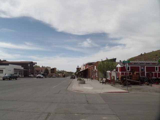
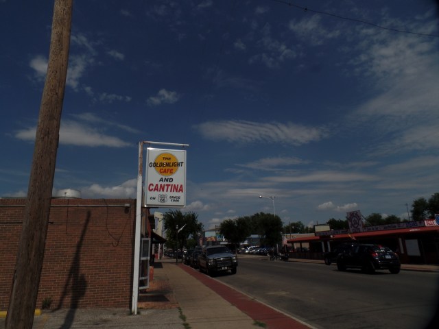
Southwest 6th Street, below Georgia Avenue, is a pleasing remnant of that time, and may as well be called Amarillo’s Fun Zone.  It reminds me of the North Side, in Fort Worth, or old downtown Nashville.

SAMSUNG CAMERA PICTURES

Southwest 6th Street, Amarillo

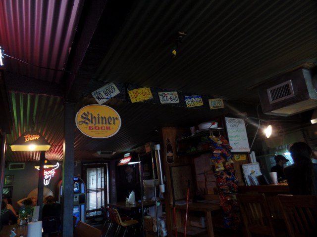
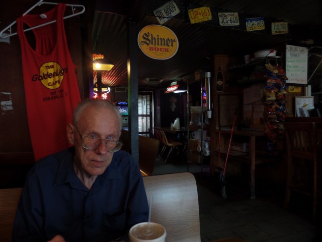
The Goldenlight Cafe and Cantina is a good place for old men and young ladies to see each other as human beings, in search of an appreciative listening ear and reassuring arm around the shoulder- so I’m told.  The folks who were here today seem to get along well, and the photo board shows many more, of people who have befriended one another, over the years.  Wes has taken to this place, and its regulars, since Blue Front became a more upscale establishment.  Oysters for breakfast don’t quite cut it, in the Amarillo he calls home.  We each had our choice of hamburger, and shared a “small” basket of fries.  (Remember, this is Texas.)

SAMSUNG CAMERA PICTURES

Interior of Goldenlight Cafe and Cantina, Amarillo

Wes was a bit more pensive than usual.

SAMSUNG CAMERA PICTURES

Wes, in the Goldenlight

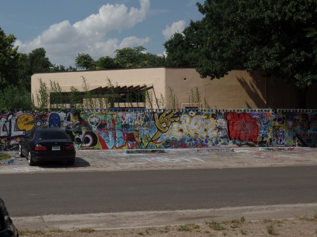
After lunch, I drove Wes over to another of his favourite haunts, the Dragon Bar.  It’s a small neighbourhood joint, close to I-27.  Wes pointed out a mural, across the street.  He said it was designed by an attorney who organized the Freedom Project, which focused on getting innocent people released from prison, a while back.

SAMSUNG CAMERA PICTURES

Street mural, 15th Street, Amarillo

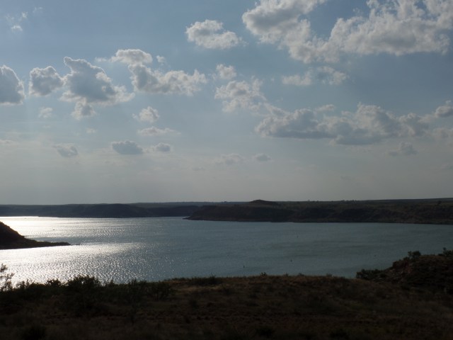
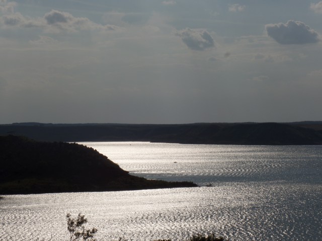
Wes was tired, after a fashion.  So, bidding him farewell, I headed towards Oklahoma, but via the upper Panhandle, stopping by Lake Meredith, a popular local boating site, west of Borger.

SAMSUNG CAMERA PICTURES

Lake Meredith, TX

SAMSUNG CAMERA PICTURES

Lake Meredith, TX

SAMSUNG CAMERA PICTURES

The wild prairie, east of Lake Meredith, TX

There is much else worth exploring and photographing, in the rough remnants of glaciated North Texas.  It was getting on in the day, though, and Enid, OK was still ahead.

NEXT UP:  Da Vinci, Plant in the Window and Art Deco

Various Shelters

6

June 23, 2016, Eagar, AZ-  I have been helping to staff a Red Cross shelter, in this small eastern Arizona town, for the past two days.  Those who are here, have come because of respiratory issues.  The smoke from the Cedar Fire, a human-caused forest conflagration, has been more of a problem than the actual blaze.  Few, if any, structures have been affected by the fire.  The school where we are housed is well away from the blaze, of course, as is the school in the Painted Desert town of Holbrook, where a second shelter has been opened.  The concerns now are smoke and flooding, once the monsoon rains come, in earnest.  We got a foretaste of the latter, last night, when the parking lot outside our staff motel got about twenty minutes’ worth of shower activity.

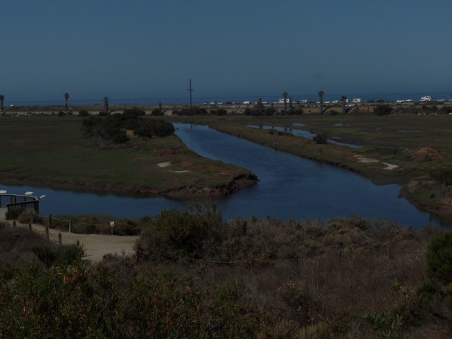
The other day, in between beach visits in southern California, I spent about forty minutes walking in the western lagoon area of San Elijo Lagoon Natural Reserve, in Cardiff-by-the-Sea, north of San Diego.  A brackish water lagoon is also a shelter.  Both marine animals and desert mountain creatures find a safe haven.  The lagoon is, however, a tenuous place of refuge.  Given its location near various industrial areas, there is always a balance to be struck between the natural filtering that water plants offer and Man’s perceived need to generate waste, in the name of “prosperity”.  Brackishness has a long way to go, in being appreciated for what it offers the balance of nature.

Thus, San Elijo’s lagoon is a vital educational tool.  Here are some views of the western portion of this extraordinary refuge.

SAMSUNG CAMERA PICTURES

Thick vegetation is needed, to help filter out toxins.

SAMSUNG CAMERA PICTURES

Several channels converge in the lagoon, en route to the sea.

SAMSUNG CAMERA PICTURES

A lone egret was partaking of the solace, this morning.

SAMSUNG CAMERA PICTURES

The channel on the right has cut through to the ocean.

SAMSUNG CAMERA PICTURES

The Kumeyaay people, now also called Diegueno or Luiseno, had simple, temporary dwellings, when they came to the lagoon to gather fish, crustaceans and kelp.

SAMSUNG CAMERA PICTURES

Here is a view of the ocean-bound channel, from the Visitor Center’s second-floor observation deck.

The eastern section of San Elijo Lagoon Natural preserve lies east of Interstate 5, in the community of Encinitas.  It’s an area best enjoyed in the coolness of Fall.  I may well stop and investigate the emerging channels and their hillside source, come October.

There are no real external shelters from one’s own struggles.  The only way, as was said in “The Empire Strikes Back”, is through.  I have been my own worst foe, in so many situations, that the aforementioned option has become my default.  There were two instances, in the past day or so, where my efforts at maintaining the shelter clashed with others, who were either not thinking things through, or were just worn out and seeking the path of least resistance.   The only thing I could do, in both cases, was quietly continue what I was doing, for the benefit of the shelter clients, while not pushing the confrontation envelope. Our manager has confidence in my judgement.  This is a continuation of what I experienced this past Spring, at Prescott High School.  It’s refreshing, actually, and indicates I’m doing something right.

I am grateful for many shelters.

Stairstepping In Kodachrome Land, Part 3: A Zip Through The Cedars

8

June 3, 2016, Chinle, AZ- After leaving Nevada behind, I decided that the drive through the expanse of heaven that is southern Utah would have to be somewhat less than just.  I have the Golden Circle on my radar screen for a full month of exploration- but not until next summer, at the very earliest, and maybe not until 2020.  The pines, cedars and unparalleled canyons of southern Utah are treasures to be taken one inch at a time.

One caveat I share with most other drivers is:  Don’t make a nuisance of yourself, by constantly and abruptly pulling to the side of the narrow road, to get that great photo.  So, the scenes presented herein are few in number- focusing on two places:  Navajo Lake/Duck Creek and Orderville Canyon.  These two very different environments give a snippet of the variety in a relatively small area of Kane County.

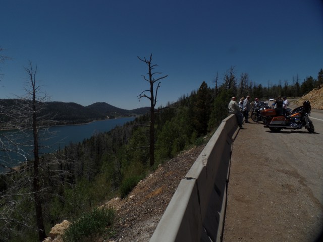
I spent a few minutes in the commercial hub of Cedar City, just refueling and resting my Nissan.  The traffic was already gearing up for a crowded weekend, hereabouts, so on up through Kolob Canyon it was.  Navajo Lake lies in the rim country, above Zion National Park.  There were about a dozen people at the overlook, so we took turns with photographs.

SAMSUNG CAMERA PICTURES

Navajo Lake, Dixie National Forest, Utah

SAMSUNG CAMERA PICTURES

Navajo Lake, Dixie National Forest, Utah

SAMSUNG CAMERA PICTURES

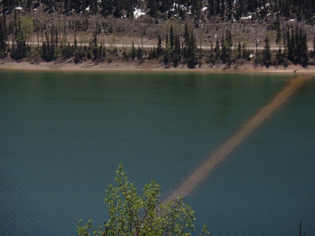
Dike  across Navajo Lake, Dixie National Forest, Utah

The dike was built by members of the Civilian Conservation Corps, during the New Deal, to maintain constant water flow.

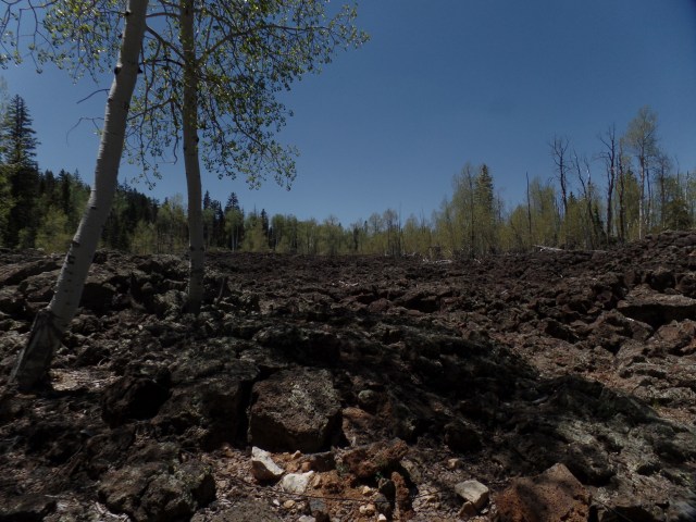
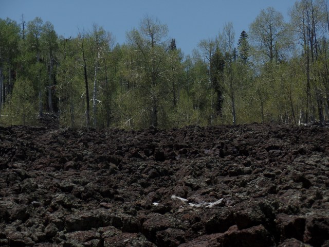
Navajo Lake, and nearby Duck Creek, were created by lava flow, which altered the course of the Virgin River, which created Zion Canyon.  Below, are some scenes of the lava beds, around Duck Creek Visitor Center.

SAMSUNG CAMERA PICTURES

Lava bed at Duck Creek Visitor Center, Dixie National Forest, Utah

SAMSUNG CAMERA PICTURES

Lava bed, Duck Creek Visitor Center, Dixie National Forest, Utah

SAMSUNG CAMERA PICTURES

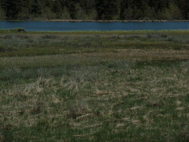
Duck Creek, Dixie National Forest, Utah

SAMSUNG CAMERA PICTURES

Duck Creek, Dixie National Forest, Utah

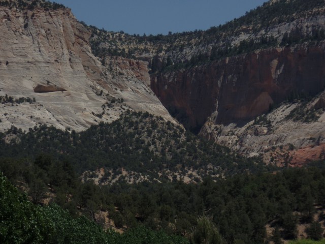
Orderville is one of the small farming towns that are a delight to visit, in the midst of southern Utah’s canyon country.  It is also a jumping off point for those headed east, towards Capitol Reef and Canyonlands National Park.  Orderville has a gorgeous canyon of its own, though, and can easily enchant the visitor for 2-3 days.

SAMSUNG CAMERA PICTURES

Orderville Canyon, Utah

SAMSUNG CAMERA PICTURES

Orderville Canyon, Utah

With the day growing short, I headed on east and south, through Page, AZ, on the southern shore of Lake Powell, across the Navajo Nation, to Kayenta and Chinle.  At Tsegi, just west of Kayenta, I cam across a couple whose vehicle and trailer had overturned.  The Indian Health Service worker who had stopped to help was having a hard time getting through to emergency services.  I was able to call and get help en route.  Good thing that neither person,nor their two dogs, were injured.  Past Kayenta, a brush fire had broken out, south of Chilchinbeto, where I once worked. Once again, 911 was dialed from my phone, and a fire truck was dispatched.

That was the end of the day’s excitement.  I enjoyed a relaxing meal at Junction Restaurant, in Chinle, before heading down to Native American Baha’i Institute, another 1 1/2 hours further southeast.  It is time to change gears, and focus on spirituality for a day or so.

Stairstepping in Kodachrome Land, Part 2: Cathedral Gorge and Panaca’s Box Butte

0

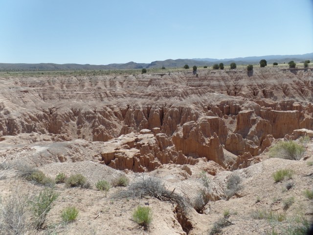
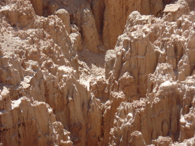
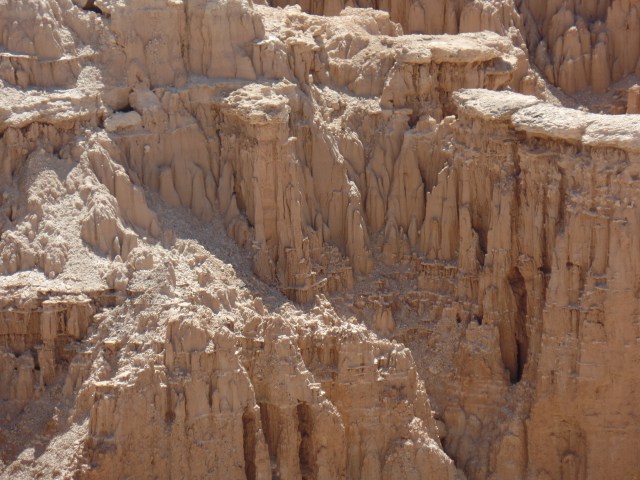
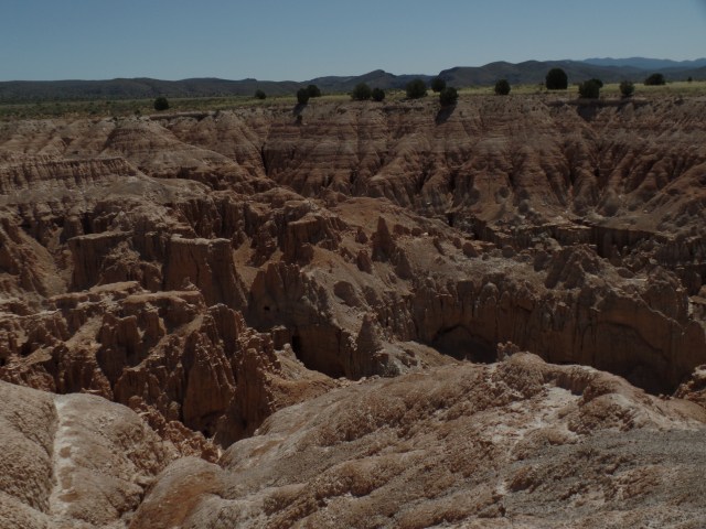
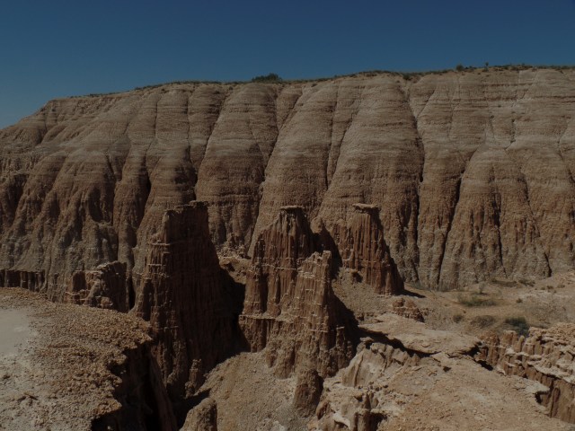
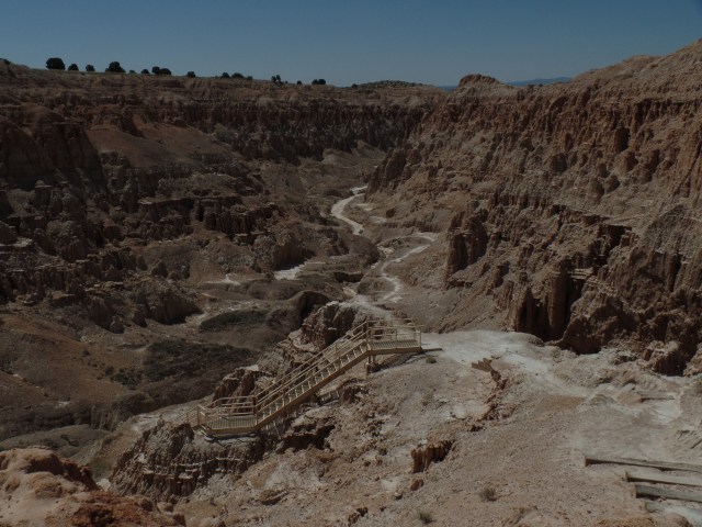
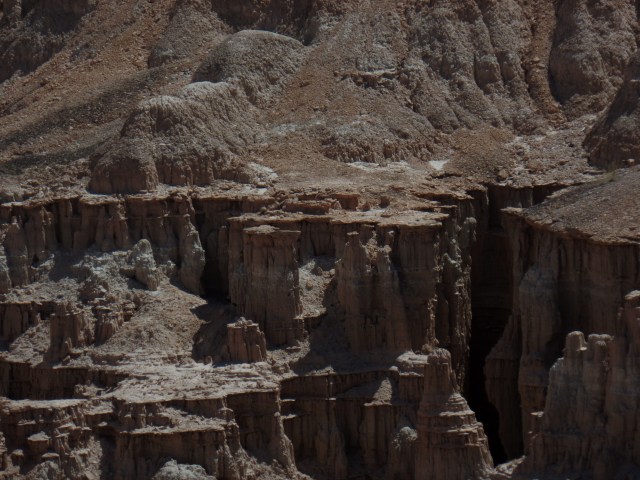
June 3, 2016, Panaca, NV- Kodachrome turned into monochrome, once I left Pioche.  No matter, though; Miller Point overlook, on the north side of Cathedral Gorge, has views that elicit thoughts of how the Grand Canyon must have looked, back in the Triassic Era.

SAMSUNG CAMERA PICTURES

Cathedral Gorge, from Miller Point

The Edwards Brothers, Nephi and Elbert, discovered Cathedral Gorge in 1911, making it a playground for their family. They built a series of ladders and explored several caves here.  The Edwards family pushed to have the State of Nevada safeguard the gorge, and in 1935, it became a state park.

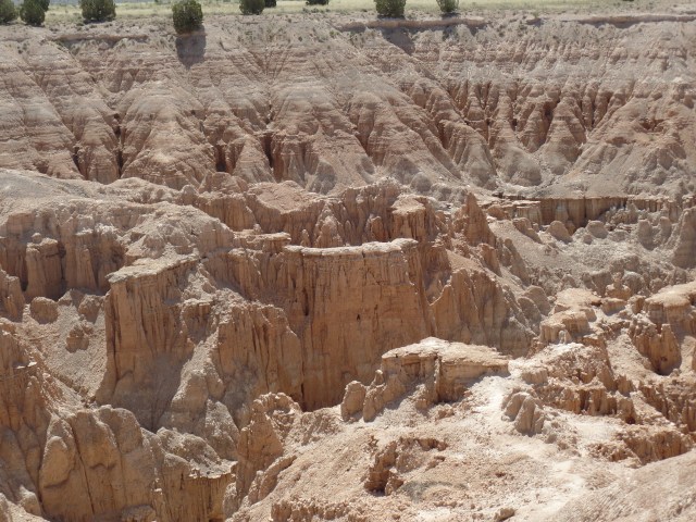
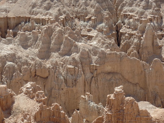
Here are several more views from Miller Point, and along the first section of trail, below the Point.

SAMSUNG CAMERA PICTURES

Cathedral Gorge, from Miller Point

SAMSUNG CAMERA PICTURES

Cathedral Gorge, from Miller Point

SAMSUNG CAMERA PICTURES

Cathedral Gorge, from Miller Point

SAMSUNG CAMERA PICTURES

Cathedral Gorge, along Miller Point Trail

SAMSUNG CAMERA PICTURES

Cathedral Gorge, along Miller Point Trail

SAMSUNG CAMERA PICTURES

Cathedral Gorge, along Miller Point Trail

SAMSUNG CAMERA PICTURES

View of Juniper Draw Loop, from Miller Point Trail

SAMSUNG CAMERA PICTURES

Eagle Point, from Miller Point Trail

It’s a reasonable assumption that I will be back here, relatively soon, for a full exploration of Cathedral Gorge on my own.  The heat precludes doing so in summer, so maybe next Spring.

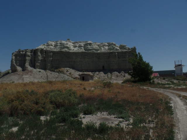
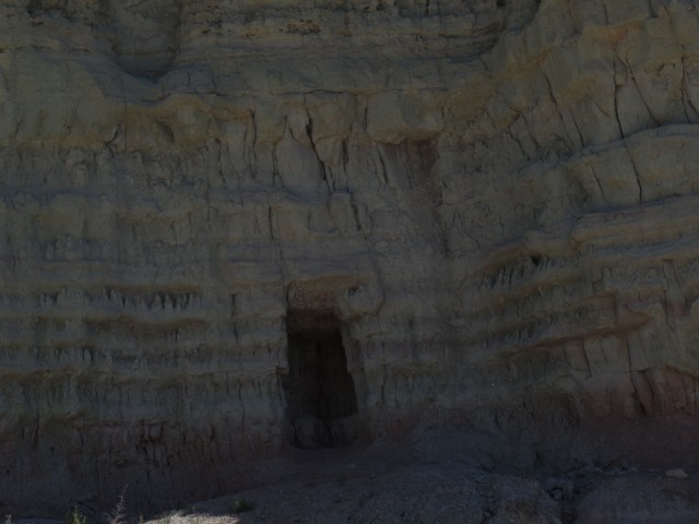
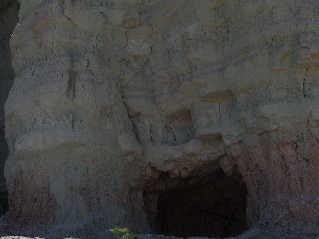
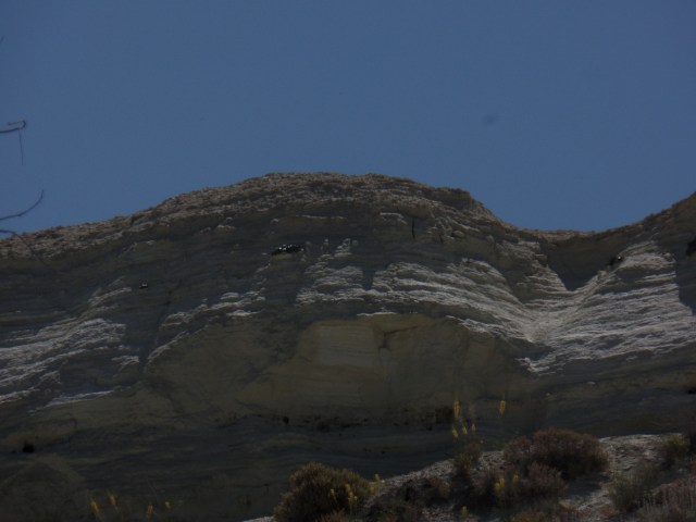
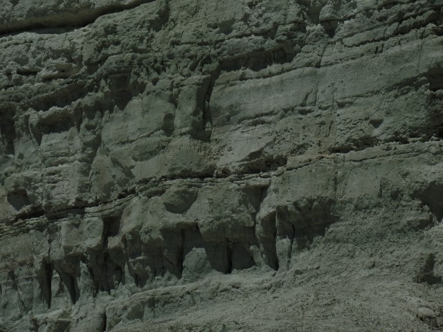
Panaca, a short distance down the road, is a rather utilitarian community, with modern buildings that distinguish it from Pioche- as does the sere Great Basin landscape. It is a friendly town, and when my attention was drawn to the sizable butte, just beyond the fence of Lincoln County High School, two girls playing in a nearby yard called to their father, who came outside, saw where I was heading, and shook his head, in a good-natured way.  Not many visitors, apparently, are interested in this formation- which goes by the simple name of Box Butte.

SAMSUNG CAMERA PICTURES

Box Butte, Panaca, NV

SAMSUNG CAMERA PICTURES

Small cave, Box Butte, Panaca, NV

SAMSUNG CAMERA PICTURES

Small cave, Box Butte, Panaca, NV

SAMSUNG CAMERA PICTURES

West side of Box Butte, Panaca, NV

SAMSUNG CAMERA PICTURES

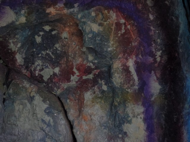
Free-form mural, inside cave, Box Butte, Panaca, NV

SAMSUNG CAMERA PICTURES

East side, Box Butte, Panaca, NV

SAMSUNG CAMERA PICTURES

Crane-lifted slabs, top of Box Butte, Panaca, NV

SAMSUNG CAMERA PICTURES

East side, Box Butte, Panaca, NV

As I drove off, I heard the girls call- “Daddy, he’s leaving now.”  It is unusual to be of note, but something tells me I’d be welcome back, if only to take further examination of this local play place.

I didn’t spend a whole lot of time stopping and photographing the innumerable wonders of southern Utah- if for no other reason than I had a destination, in the Native American Baha’i Institute, some 380 miles further southeast.

NEXT UP:  Navajo Lake and Orderville Canyon, Utah


Highway 50: Loneliness Is All In The Mind

2

June 2, 2016, Ely-  Sitting in the spare, but comfortable Silver State Restaurant, in this little anchor-town of the White Pine country of eastern Nevada, I had a bit of time to reflect on “America’s loneliest highway”.
I got on U.S. Highway 50,  in the eastern edge of Carson City, around 10:30 this morning, saying goodbye to my Baha’i sister, and her new home across town.  Gradually, the wonders of the Silver State itself unfolded:  The exit to Virginia City, the Comstock Lode historic site of Dayton, and the small commercial hub of Fallon, which serves as the western anchor of the so-called Lonely Road.

Fallon was rather quiet, on this first of many hot days to come.  It did have its share of business, though, and some of that filtered in to Susie’s BBQ, where I stopped for lunch.

SAMSUNG CAMERA PICTURES

Susie’s BBQ, Fallon, NV

I opted for brisket, as it was not really a sausage kind of day.  A Big Heat has taken the West under its wing, probably for the next seven or eight weeks, so we move, eat and adjust accordingly.

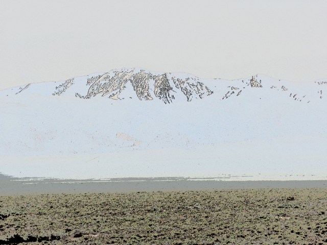
On my last ride across Highway 50, in 1980, my driver pointed out an expanse of salt flat, a remnant of ancient Lake Lahontan.  This was a massive body of water, stretching from the Sierra Navada to the Toiyabe Range.  Its remnants include the much smaller Lake Lahontan, east of Fallon, plus Lake Tahoe, Mono Lake and Pyramid Lake.  I did not, given the nature of my visit, go to any of the three western lakes, and there is intensive road work around the present Lake Lahontan.  Thus, here are some surrealist, filtered scenes of the Carson Lake Salt Flats.

SAMSUNG CAMERA PICTURES

SAMSUNG CAMERA PICTURES

SAMSUNG CAMERA PICTURES


SAMSUNG CAMERA PICTURES

Notice there are some graffiti, inscribed by local lovebirds and various passers-by, who find romance in the desolation.

My next focus was on the Toiyabe Range, one of three mountain ranges that stretch north to south, in central Nevada.  The Toiyabe and White Pine mountains, like the Sierra Nevada, are still somewhat snow- packed on their summits and high ridges.

SAMSUNG CAMERA PICTURES

Toiyabe Range, central Nevada

SAMSUNG CAMERA PICTURES

Toiyabe Range, Central Nevada

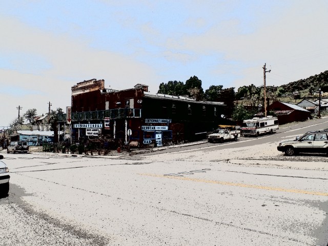
Austin is one of those little towns that used to be a link on the Pony Express, as well as where silver, lead and zinc were mined.  Silver still can be found, here and there. Lead being largely out of favour these days, for health concerns, is cause for several closed and shuttered mines.  The few folks who live here tend to be flinty-eyed towards anyone wearing shorts and a camera, but I find places like Austin intriguing, nonetheless.
SAMSUNG CAMERA PICTURES

Main Street, Austin, NV

SAMSUNG CAMERA PICTURES

St. Augustine’s Church, Austin, NV

The back streets have their appeal, as well.  Virginia Street alludes to the Mother Lode.

SAMSUNG CAMERA PICTURES

Lander County Courthouse, Austin, NV

Back on Main Street, the courthouse and visitor center(closed at the time) give Austin a bit of gravitas.

The walls in back of the main properties were built to last, with land slides always being in the back of people’s minds.

SAMSUNG CAMERA PICTURES

Retaining wall, behind Courthouse, Austin, NV

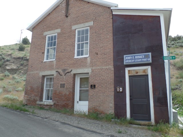
The old city hall was taken over by the American Legion, as John F. Hiskey Post 45, in 1947.
SAMSUNG CAMERA PICTURES

Old City Hall, Austin, NV

Crowning the heights above Austin is Stokes Castle.  Anson  Phelps Stokes, The Elder, was an industrialist and entrpreneur in the late-19th Century.  He built the edifice as a summer “tower”, but only actually used it for two months, in 1897.  After that, the Stokes family abandoned the place.  Austin’s citizens have fenced the structure off, and it is indeed unsafe to enter.  It remains, though, as a testament to the town’s glory days.

SAMSUNG CAMERA PICTURES

Stokes Castle, Austin, NV

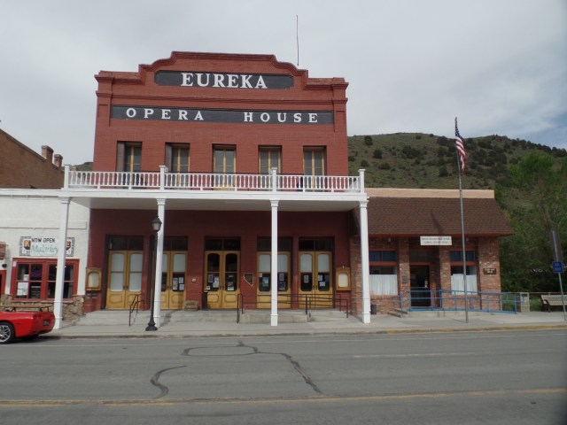
An hour or so east of Austin lies Eureka, where people smiled, flashed peace signs and seemed quite relaxed, as their work day was coming to an end.
SAMSUNG CAMERA PICTURES

Eureka Opera House, Eureka, NV

SAMSUNG CAMERA PICTURES

Eureka County Courthouse, Eureka, NV

SAMSUNG CAMERA PICTURES

A westward look down Main Street, Eureka, NV

I had miles to go, before I slept, so on east it was, to Ely, NV, a more contemporarily- built, commercial hub, at the end of the “Loneliest Road”.  I had dinner at the aforementioned Silver State Restaurant, then gave my camera a rest- until I came to the White Pine Range.  These mountains are named for the light-coloured wood of the local evergreens.

SAMSUNG CAMERA PICTURES

White Pine forest, south of Ely, NV

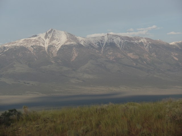
Wheeler Peak, not to be confused with the mountain of the same name that is New Mexico’s highest peak, is the crown of the White Pines, and second only to Boundary Peak, (in western Nevada), in terms of high points in the state.
SAMSUNG CAMERA PICTURES

Wheeler Peak, White Pine Range, south of Ely, NV

Thus, as you can see, loneliness is a definite state of mind.

NEXT UP:  Pioche, Panaca and the amazement of Cathedral Gorge


Extended Family, Reno & Carson, Days 3 &4: Tides of Transition

5

May 31-June 1, 2016, Carson City- 

SAMSUNG CAMERA PICTURES

Sundial, Carson City

We spent the past two days intermittently going through boxes, tending to errands in Reno, watching days 2 &3 of the new version of “Roots” and enjoying a fantastic barbecue, at the Sandoval residence.  Above is Veronica’s sundial, which keeps watch over her little swimming pool.  Uncle Gary, of course, had to get splashed, show her how to toss water at the far fence and discuss the meaning of an episode of “My Little Ponies”- which does have more intellectual fiber, for the minds of 3-5 year-olds, than we older ones might think.

Tuesday was busy, but peaceful here, roiling back at home base (Prescott) and generally a day that brought some enjoyment (see below), but which I was glad to see over. By bedtime on Wednesday, though, all was calm again.

We had a pleasant lunch at Mel’s Diner, in Reno, served by one of the most effervescent young women I have ever met.  Diner food is one of my guilty pleasures, anyway, so it didn’t take much to get me to agree to stop there, after Michele’s walk-through at her old apartment.

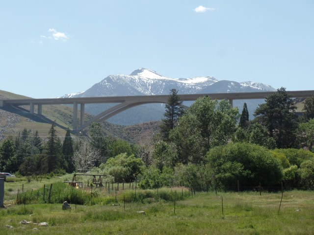
On the way back to Carson, we drove through Washoe Lake State Park, between Reno and Carson City.  The serenity of this place is reminiscent of several similar places in the Prescott area.

SAMSUNG CAMERA PICTURES

Bridge along Hwy. 395, Washoe Valley, NV.  Mt. Rose is in background.
The bridge over Washoe Valley is remarkable for its length.  Mount Rose calls out to be hiked, but that is an item for another year’s agenda.  The Valley itself is stunning, as a place to unwind for many, and as a redoubt for the well-to-do.

SAMSUNG CAMERA PICTURES

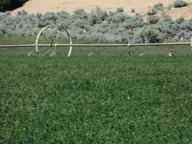
Deer, resting near irrigation sprinkler, Washoe Valley, NV

A herd of deer were roaming near this irrigation pipe, an excellent way to beat the mid-day heat.

SAMSUNG CAMERA PICTURES

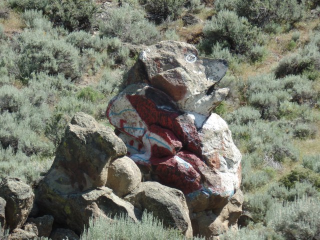
Beagle Rock, Washoe Lake State Park, NV

This rock was painted, by person or persons unknown, about ten years ago.

The crowning event of the day was Veronica’s tae-kwon-do session.  Watch out, world!

SAMSUNG CAMERA PICTURES

Veronica gets ready to chop.

Watching my little angels grow has been a joy, for thirty six years and counting.  I thank the Lord this will be ongoing.  The session took me back to the late ’90’s, when my son was learning this martial art form.

The time here was capped with the above-mentioned barbecue.  The Sandovals pulled out all the stops, and presented us with everything from the usual hot dogs and burgers to carne asada and grilled pineapple.  Freshly baked  pan dulce capped the meal.  It was one of those “No more food for a month” affairs, which is what happens, in a loving environment.

Now, it’s time to head on down  to the next important event:  A 35th Anniversary Reunion of those who opened the Native American Baha’i Institute, in Burntwater, Arizona.

NEXT UP:  The highway that was once “America’s loneliest”.


Prescott Circle Trail, Segment 1, Part 2: Trail’s End

6

May 22, 2016, Prescott- There are lots of challenges left in the world, for those who think it’s all been done by others.  I know that, no matter where I go, there will be someone who’s already “done” the trip, gone along the trail, gone up the mountain, forded the river, negotiated the canyon.  I’m happy for them, and hope that many will follow after us.  The world is for learning and for appreciating.

In twelve section hikes, I have explored the entire unpaved course of Prescott Circle Trail.  Ten segments, spanning 53 miles, separated only by a 1.8 mile gap of neighbourhood and ranch, offer a variety of terrain and ecosystems:  Pinon juniper forest, manmade lakes, grassland, highway underpasses, scrub oak forest, tall pines and, always, granite or shale badlands and Dells.

I started this effort last autumn, with a  view towards getting a holistic sense of my adopted home base and the condition of its natural environment.  This afternoon, the final section of trail presented itself:  A loop, starting and ending on the side of Granite Basin Road, a bit south of Cayuse Day Use Area, an equine staging area.

Hence, the photos:

SAMSUNG CAMERA PICTURES

Two days of steady rain, this past week, have brought the fireweed into a healthy state of being.  I took a brief walk to an area I explored last week, to see how they were doing.

SAMSUNG CAMERA PICTURES

Once up on the Ho-Kay-Gan Trail, the settled homes of Williamson Valley’s horse lovers come into view.

SAMSUNG CAMERA PICTURES

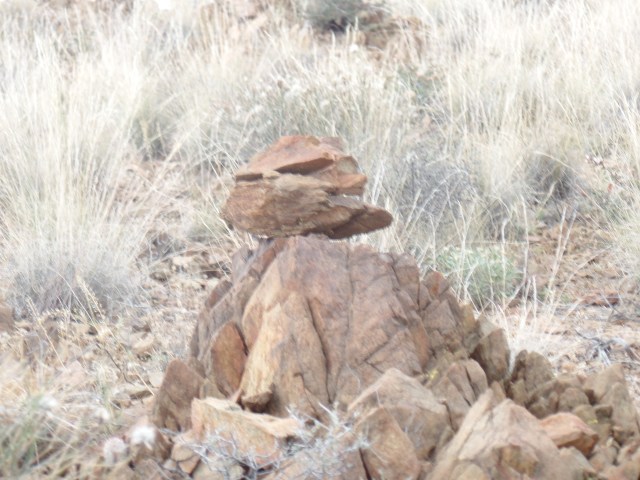
As is often the case, the stone watchmen are on the job.

SAMSUNG CAMERA PICTURES

A rock that resembled an ancient sage sits with its back to the trail.

SAMSUNG CAMERA PICTURES

I like finding hills that resemble pyramids.  Ho-Kay-Gan is a steep little mountain, and the trail skirts its slope, with a sharp descent into Alfano Gorge.

SAMSUNG CAMERA PICTURES

Here is a view of Alfano Gorge, headed upstream.  This part of Williamson Valley resembles Pioneer Park, not surprising, given that the two are  a scant two miles apart.

Above, is Ho-Kay-Gan Trailhead.

A nice party of three hikers, who had passed me, while completing their own loop hike, graciously took this keepsake.

SAMSUNG CAMERA PICTURES

Ho-Kay-Gan Trailhead

So, my first completion of a long-distance trail system is now complete, at least the unpaved portion.  I will walk the gap, from Katahn Drive to Pioneer Parkway, for the sake of integrity, early next month.  Then, too, completing Black Canyon National Recreation Trail by the end of 2016 is also a goal.

Prescott Circle Trail, Segment 1, Part 1: In Granite Basin

4

May 19, 2016, Prescott- This is a different sort of Throwback Thursday.  Last Sunday’s hike took place, in between two social gatherings.  It’s important, somehow, that I complete Prescott Circle Trail, before summer starts.  So, May 15’s sumptuous afternoon found me hiking from Iron Springs Road to just above Granite Basin Road, a distance of 3 miles each way.

I began by crossing the first fairly busy roadway, Iron Springs Road, then down a mildly steep path, across Willow Creek’s relatively benign gorge, and along an easy trail to the overlook for Granite Basin, one of the most majestic places in Yavapai County.

SAMSUNG CAMERA PICTURES

South trailhead, Prescott Circle Trail, Segment 1, near Iron Springs Road

SAMSUNG CAMERA PICTURES

Granite Mountain, peaking over the south ridge of Granite Basin

Granite Mountain lords it over this area, as it does, by extension, over the cities of Prescott, to the south, and Chino Valley, to the north.

SAMSUNG CAMERA PICTURES

Thumb Butte, to the south, isn’t about to be ignored.

SAMSUNG CAMERA PICTURES

As always in the Southwest, boulders are a huge presence in Granite Basin.

SAMSUNG CAMERA PICTURES

This resembles an ancient philosopher king, from some city-state in the Mediterranean region.

SAMSUNG CAMERA PICTURES

Granite Mountain comes into clearer focus, at the edge of the Basin.

SAMSUNG CAMERA PICTURES

The Basin itself has been the source of hours of pleasurable exploration for me, in the past few years.

SAMSUNG CAMERA PICTURES

The sweep of Granite Basin, leading to the great mountain.

SAMSUNG CAMERA PICTURES

The summit of Granite Mountain, through the afternoon haze.

SAMSUNG CAMERA PICTURES

An old friend, “Mini Sphinx”, about a mile along Willow Trail, my diversion for the early evening, before hiking back to Iron Springs.

Lastly, here are a couple of  flower-gems, so that the little beings are not overlooked.

SAMSUNG CAMERA PICTURES

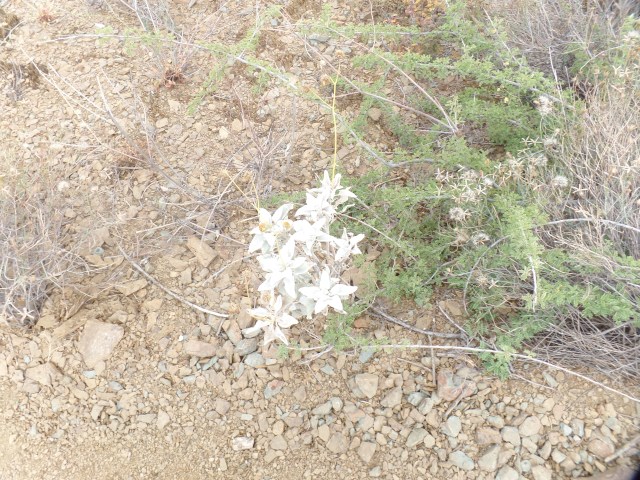
Fireweed flowers punctuate the sandy brushland.

SAMSUNG CAMERA PICTURES

Desert Dandelion are found, closer to the Basin rim.

This area has been an old comfort to me, both when I first came here, in April, 2011, and at various points along the Grief Road.  That it is the near ending of a 55-mile circle around my adopted home base seems most appropriate.  In a few days, I will complete Segment One, from Willow Trail to Williamson Valley Road.  Summer looks to be soothing, followed by a return to a secure work environment.

In Utmost Isolation

10

April 30, 2016, Black Canyon-  This is a few days late getting to print, but here is what happened today. I started out in mid-morning, stopping in for breakfast at Flour Stone Bakery, a lovely little spot in the old mining town of Mayer, some 30 miles southeast of Prescott.  It has authentic challah, and finely baked rye and other loaves of bread.  I am inclined to stop here on future forays along Black Canyon National Recreation Trail, which I started walking, in segments, about 15 months ago- just north of Mayer.

Here is Flour Stone Bakery, inside and out.

It seemed that the entirety of western Yavapai County, from Prescott to Mayer, was hopping, with one form of mass entertainment or another- Bicycle Marathon, Antique Car Show and, here, just plain Antique Shows.

I needed to get back into the wilderness, though, at least for several hours.  So, on to Black Canyon it was.

The segment I hiked today extended from Black Canyon City’s trailhead to Cottonwood Gulch, about 6 miles one way.  It is roughly 3/8 of the Black Canyon-Table Mesa Road section of this amazing high desert system.  In a nutshell, that means I have hiked a bit more than half of the entire trail (44 of 81 miles), over the past 15 months. Manageable segments work well for me, in this regard.

Here are a few scenes from along the trail, which alternates between hugging the Agua Fria and exploring the rugged hills and mesas, west of the river.

SAM_6739.JPG

Here is a view of Horseshoe Bend, about two miles south west of the trailhead.  A family was enjoying the water of Agua Fria, at this serene spot. They were among the few people I encountered this afternoon.  Six bicyclists, here and there, rounded out the “companionship”.  Mostly, though, it was the desert and me, alone.  Plants, though, were quite prolific.

SAMSUNG CAMERA PICTURES

Flowering barrel cactus, Black Canyon

SAMSUNG CAMERA PICTURES

Emerging cholla, in basalt field

SAMSUNG CAMERA PICTURES

Mr. Sandstone

He didn’t bring me a dream, but his presence was oddly reassuring, in the quiet of the afternoon.

SAMSUNG CAMERA PICTURES

Hilltop bench, Cheapshot Mine region

I chose this little redoubt, atop Cheapshot Hill, to rest and write a bit in my journal. After a brief interlude here, I kept on going to Cottonwood Gulch, just shy of an intriguing Thumb Butte-like mesa, whose name escapes me.  I will check that one out on my next segment hike, from Table Mesa Road, probably next Fall.  Here is where I chose to turn around.

SAM_6758.JPG

This bush reminded me a bit of mimosa, though I know it is something different- just don’t know its name.  It looks like a four-wing saltbush, but the flowers resemble those of saltcedar.

SAMSUNG CAMERA PICTURES

Desert lily, Cottonwood Gulch

Well, those last two gave me a reason to pick up a wildflower book, which was actually part of a map of Death Valley, of all places.

This trail was certainly the most isolated I’ve experienced since Seven Falls, northeast of Tucson, and it was every bit as satisfying a challenge- 12 miles in a day.

.Upon returning to community life, a poetry reading and a lively jazz-funk concert rounded out this last day of April.

SAMSUNG CAMERA PICTURES

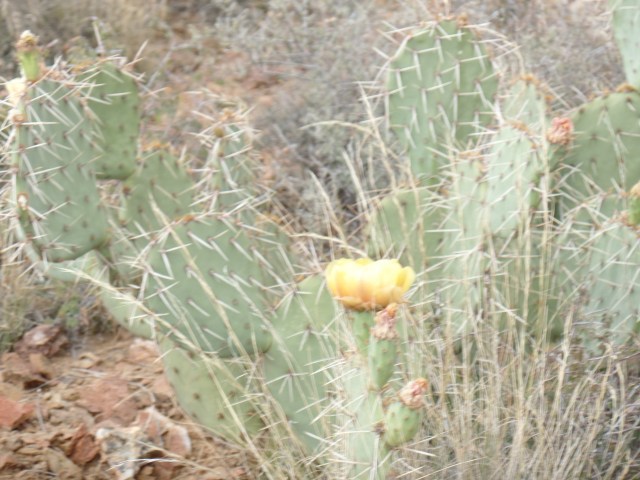
Heart-shaped Prickly Pear colony


Prescott Circle Trail, Segment 2: Thumb Butte Road to Iron Springs

10

April 24, 2016, Prescott- Today was another picture perfect day, with less wind than yesterday.  Thus, it was the right time to hike the 8-mile round trip, from one iconic landmark (Thumb Butte) to the near approaches of another(Granite Mountain).

Actually, I reversed the order, as Iron Springs’ parking lot is spacious and well off-road.  I was met by a couple who were on a short bicycle ride.  They went as far as the Fireplace Ruin, a distance of 1.8 miles.  That segment of trail follows an abandoned rail bed, the route of which once connected the mining camps of Iron Springs with downtown Prescott.  With those camps long closed, the route evolved into a Rails-to-Trails path.  There are several fine views, to the east, from the trail.

The left photo shows the Bradshaw Mountains, while the right-hand view is of two adjoining subdivisions, to the east. Below left, is a view of Badger Peak, five miles to the southeast.

The above right scene shows some of the rock that was cut away, to push the rail bed through.  Below it, new growth has helped in recovery from the Indian Fire, of 2002, but the area was hit again, in 2013, by the Doce Fire.

The dryness of our region concerns me, and we are doing all possible to avoid another serious fire season. This section of trail seemed drier than the last two, with sandy soil along much of the route.

SAMSUNG CAMERA PICTURES

This pump house is situated to help, in the event of another fire.

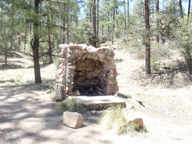
Another 1/4 mile ahead, the ruins of an old mining cabin attest to the ravages of fire.  The only thing left standing is the fireplace!

SAMSUNG CAMERA PICTURES

Fireplace Ruin, Javelina Trail, Prescott

Granite boulders signal the turn-off from the abandoned rail bed, and Javelina Trail heads around a couple of small foothills of the Sierra Prieta.

SAMSUNG CAMERA PICTURES

Granite boulder field, Javelina Trail

Willow Creek’s South Fork is the only running water along the trail, and it was not running today.

SAMSUNG CAMERA PICTURES

South Fork, Willow Creek

SAMSUNG CAMERA PICTURES

Looking vaguely like a moai head.

This boulder reminded me,obliquely, of a moai, from Easter Island.

Once I hiked over and above the drainage area of Willow Creek, Thumb Butte could be seen to the southeast.

SAMSUNG CAMERA PICTURES

Northwestern view of Thumb Butte.

Arizona woodpeckers are active here, as elsewhere along Prescott Circle Trail. As I learned last summer, in the Whatcom Museum, Bellingham, WA, these birds share nests with a variety of other creatures.

SAMSUNG CAMERA PICTURES

Arizona Woodpecker nests, Javelina Trail

So I have explored another segment of our area’s comprehensive trail system.  One segment remains- the area between Iron Springs and Williamson Valley Road, a distance of 5 miles each way.  I will see whether the effects of the 2013 Doce Fire are as telling there, as they are, in patches, here.