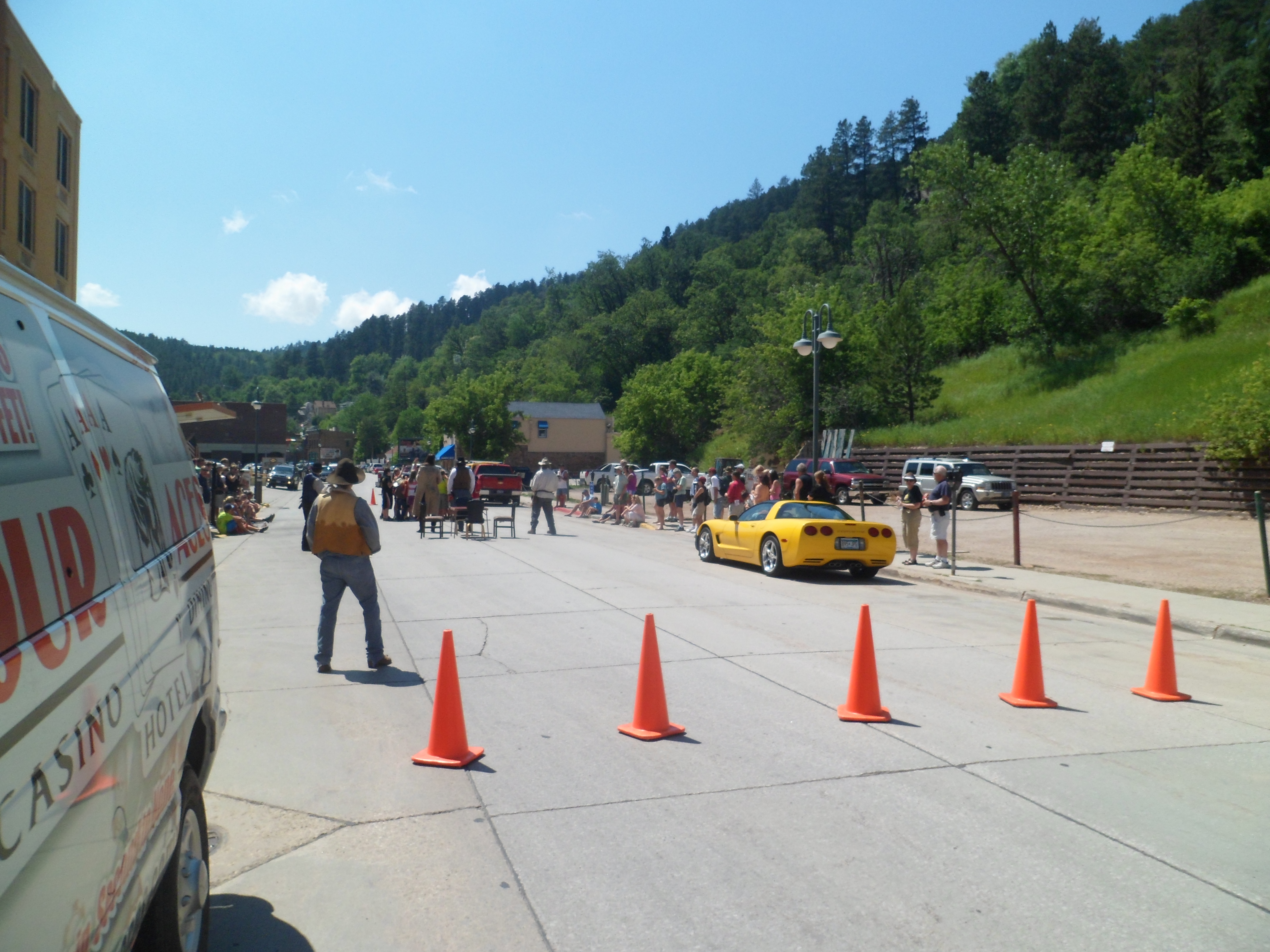
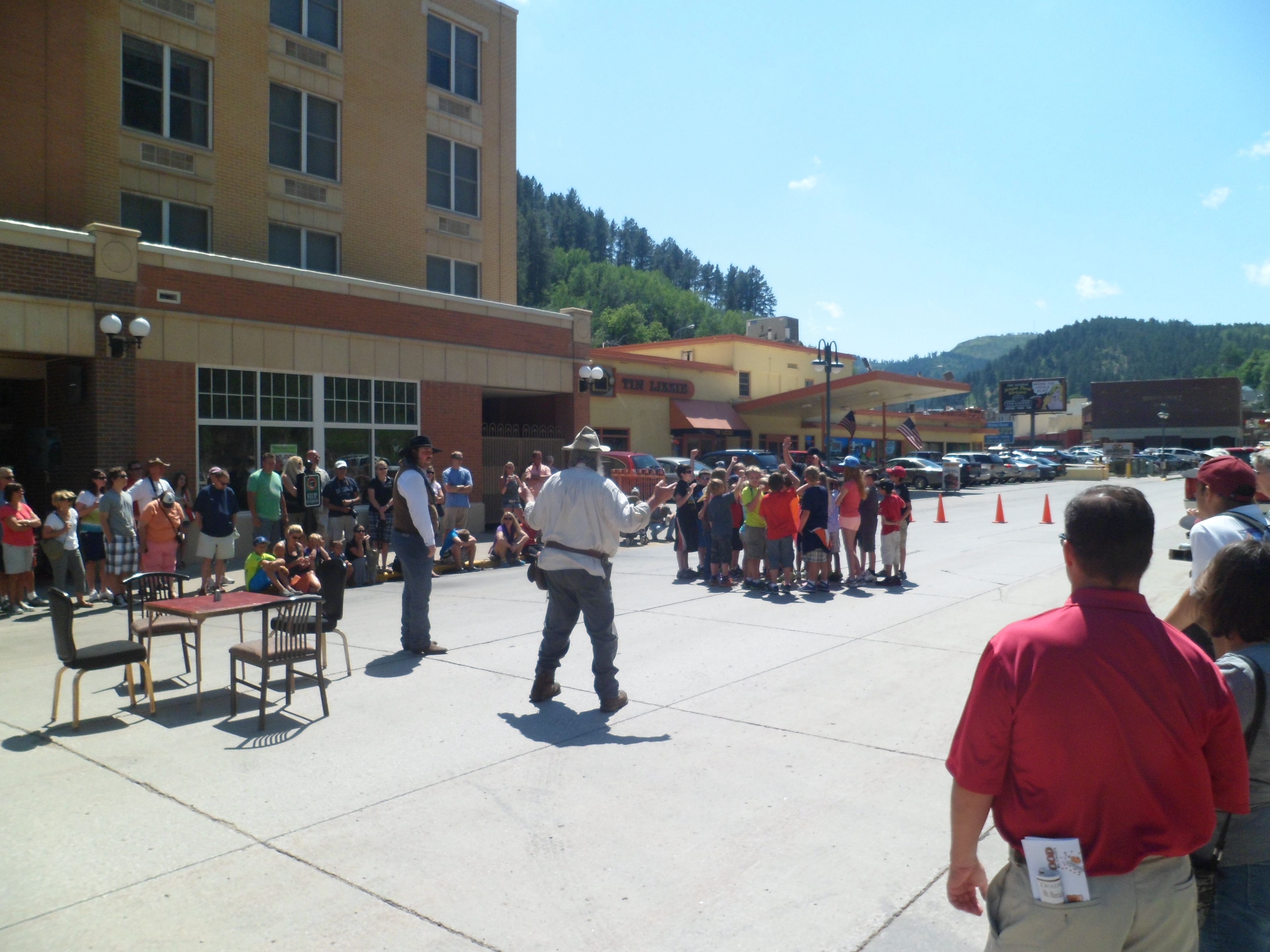
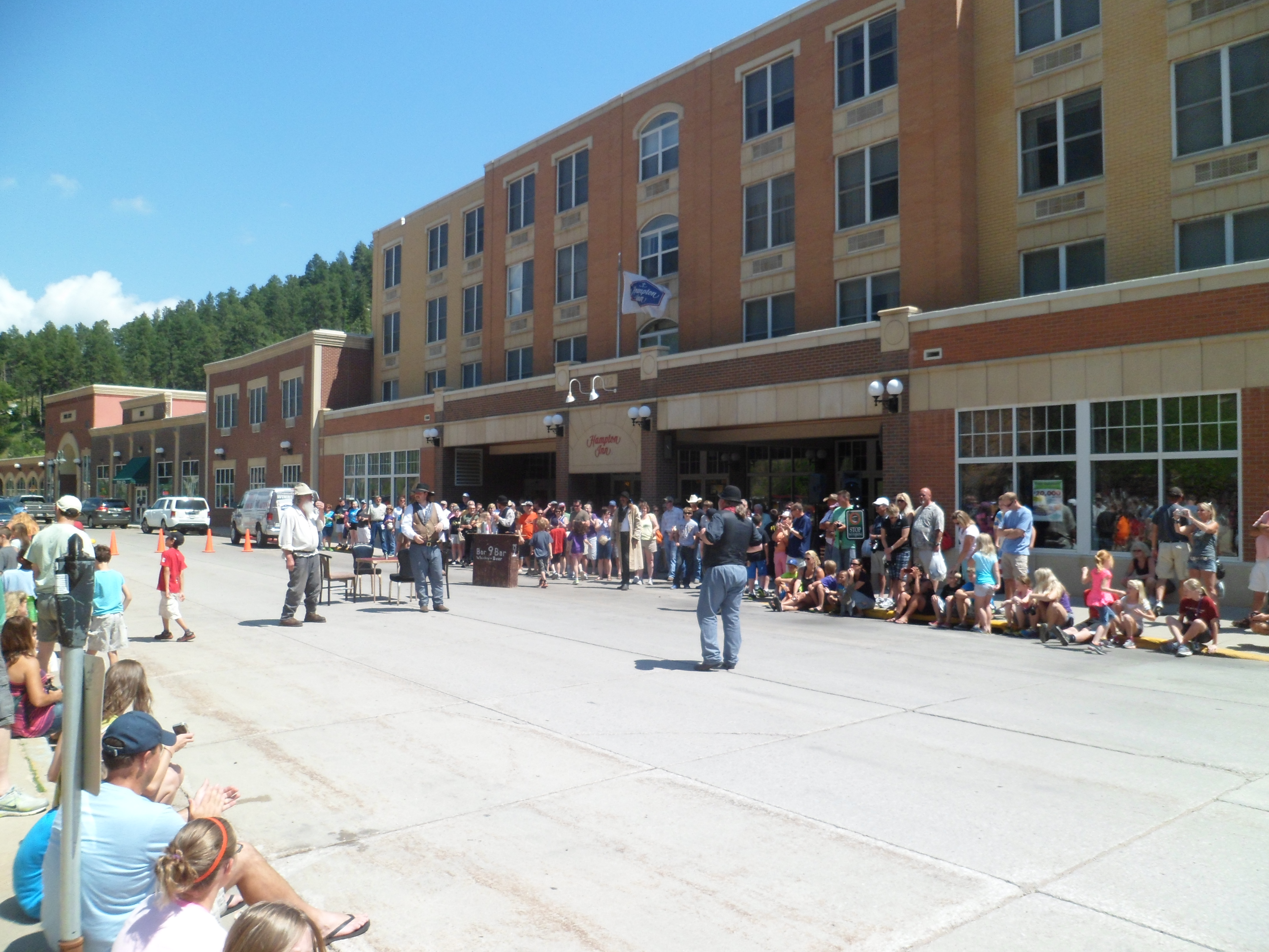
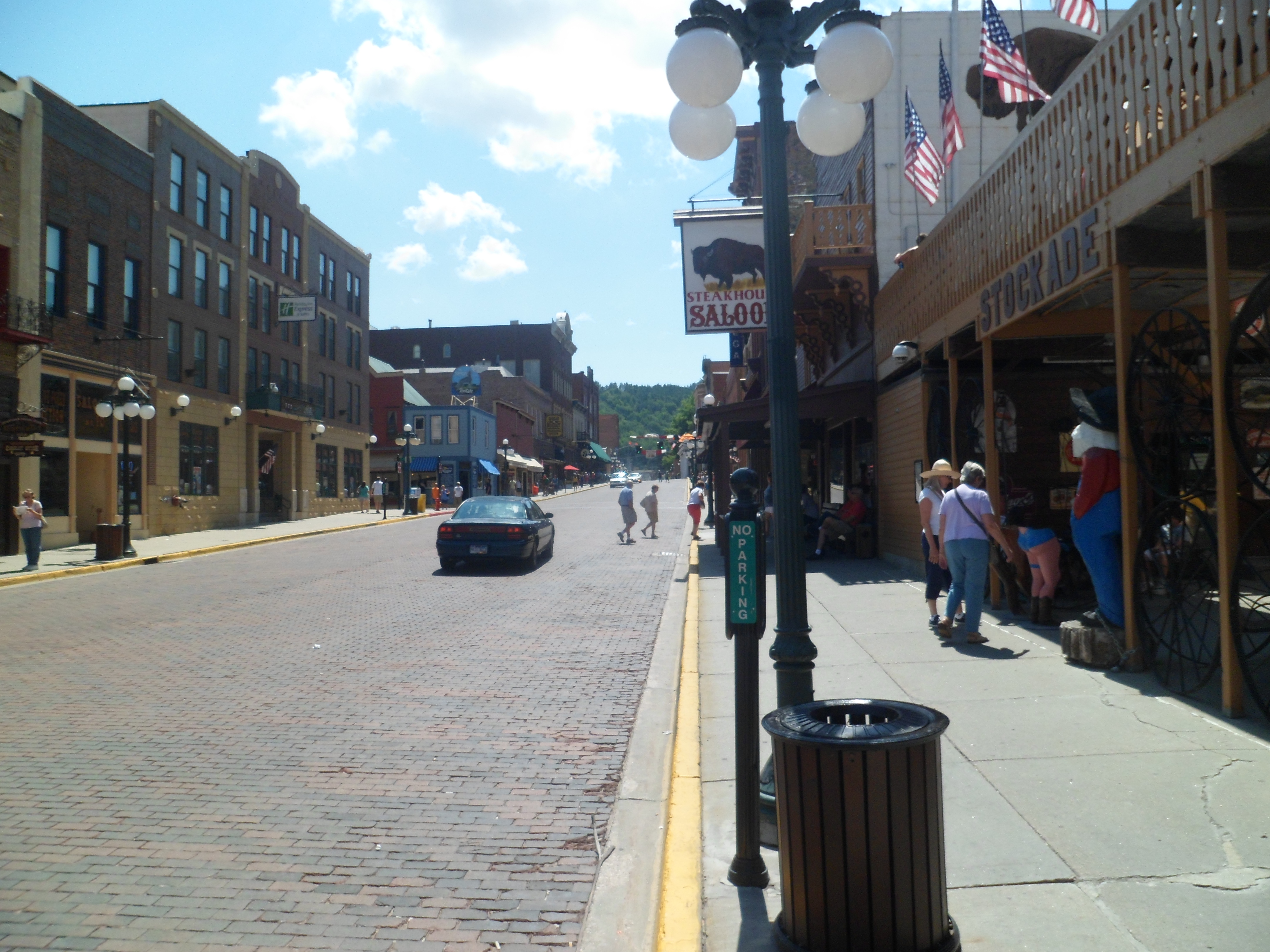
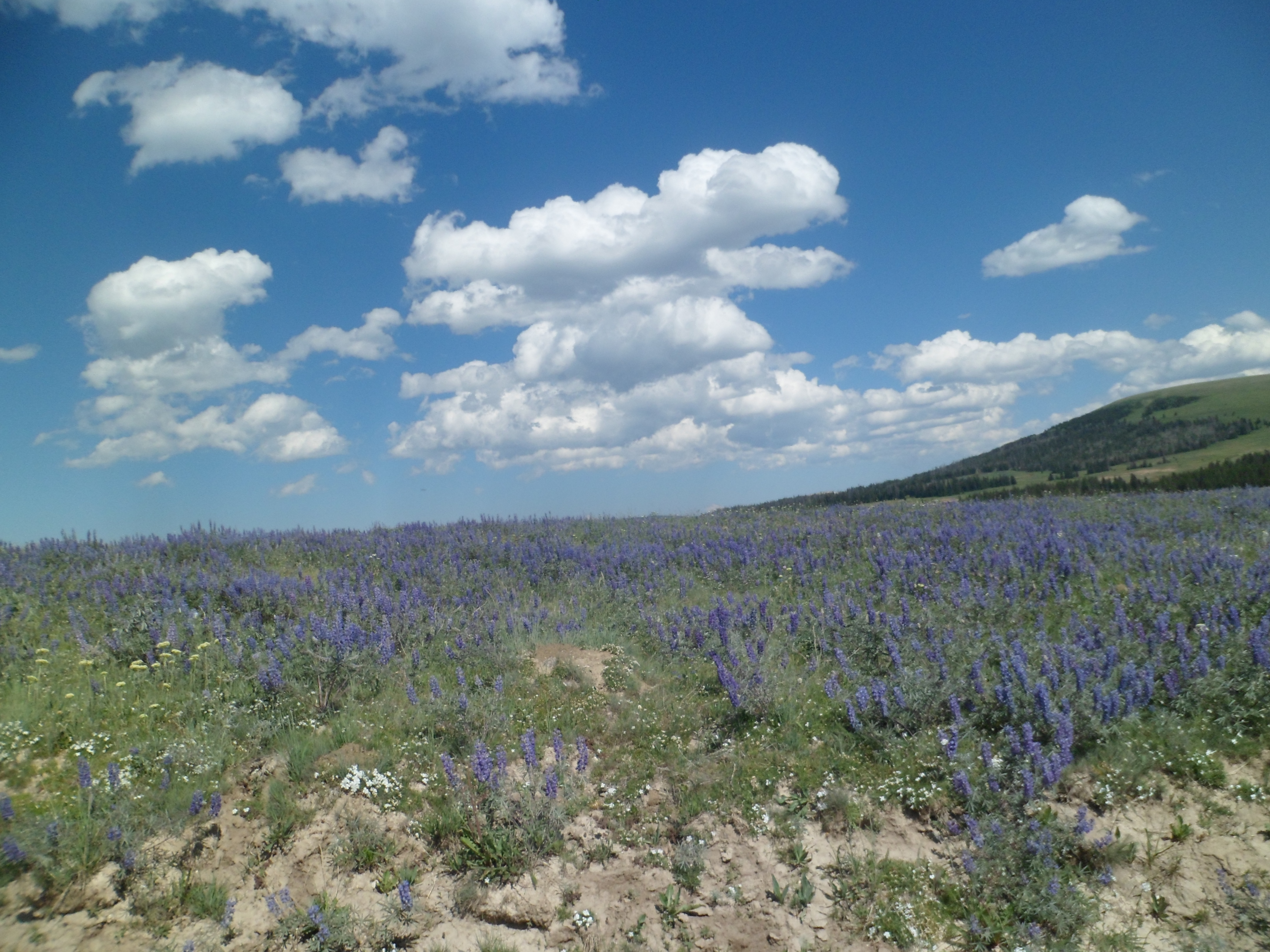
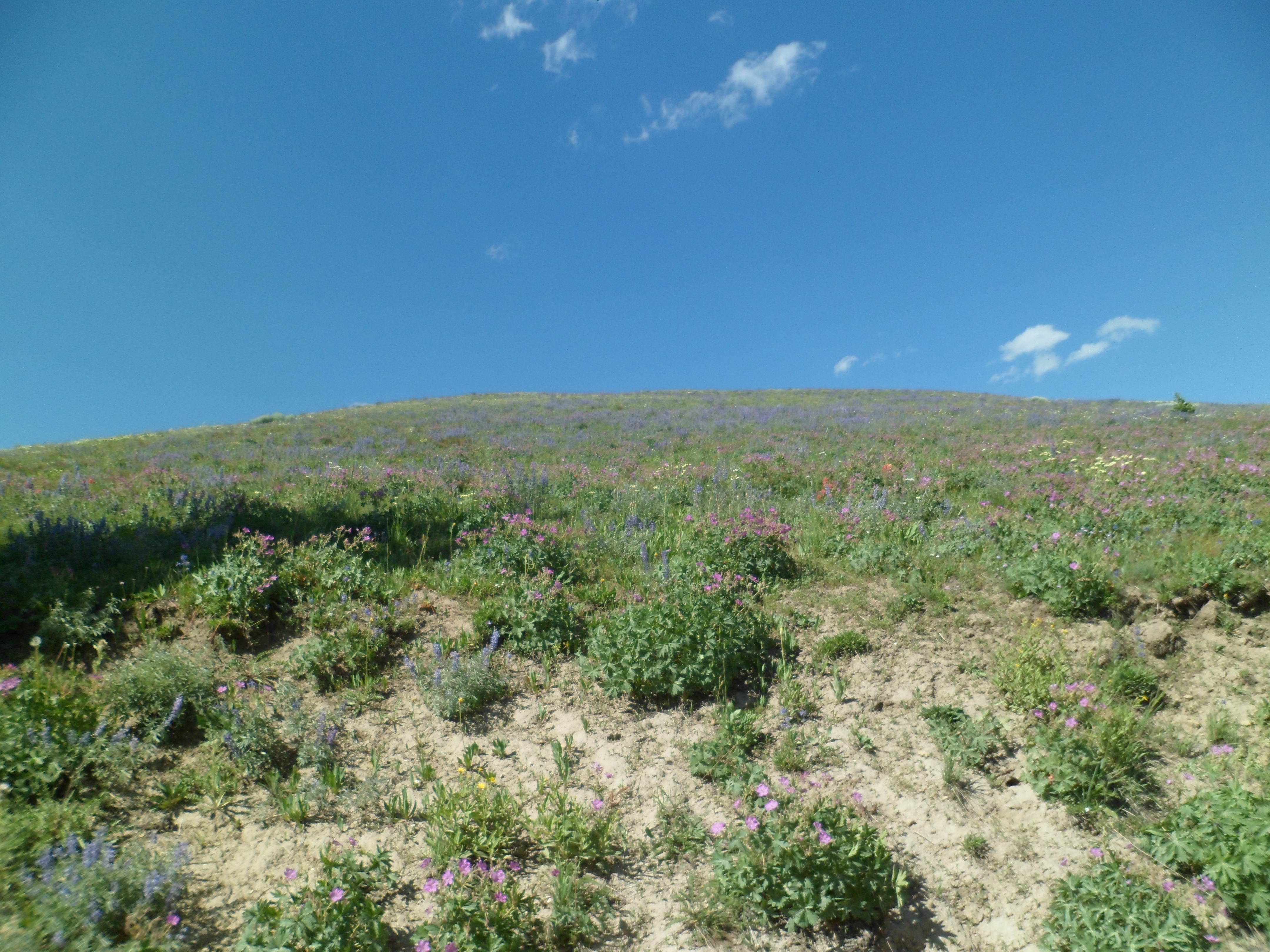
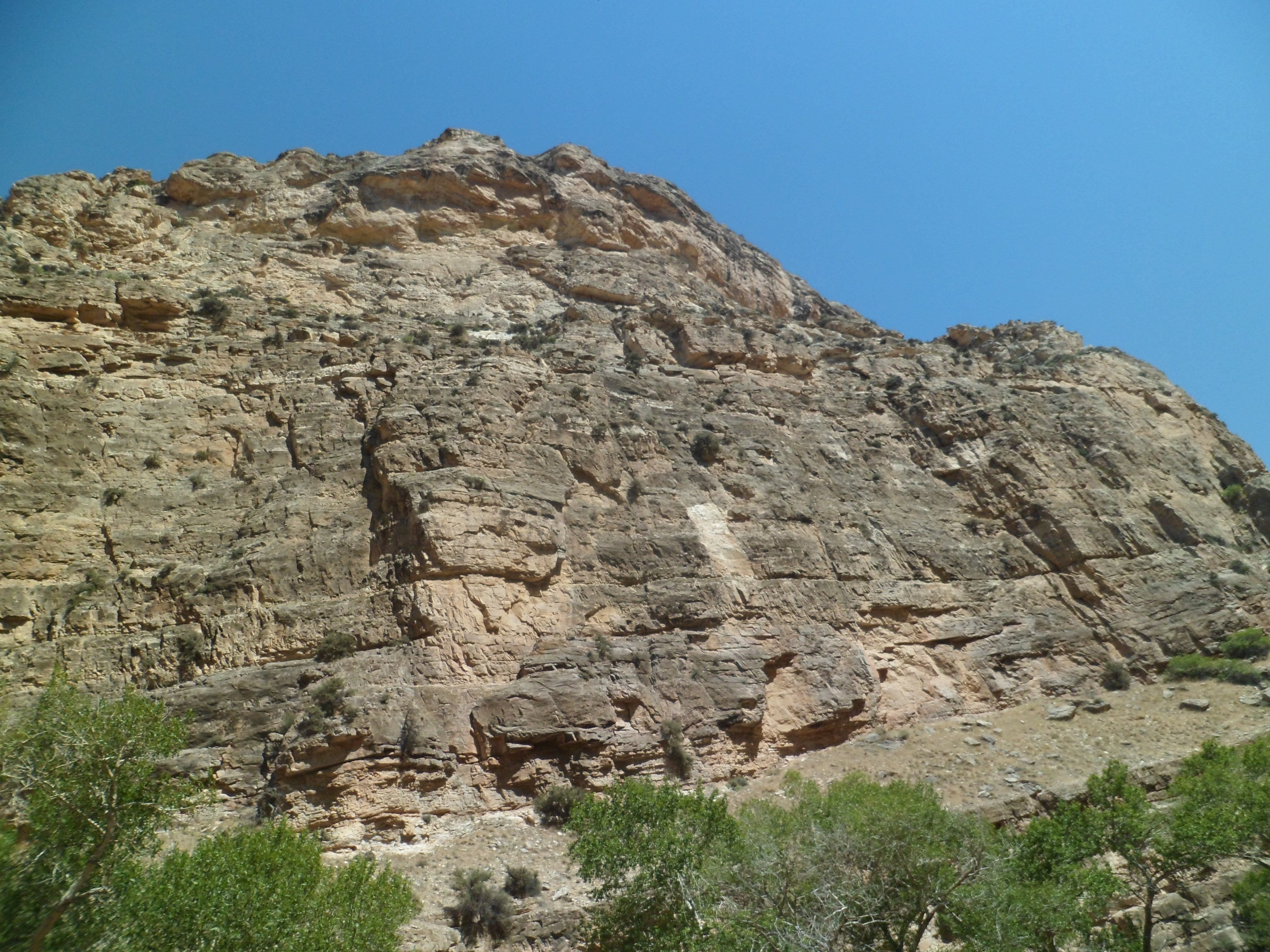
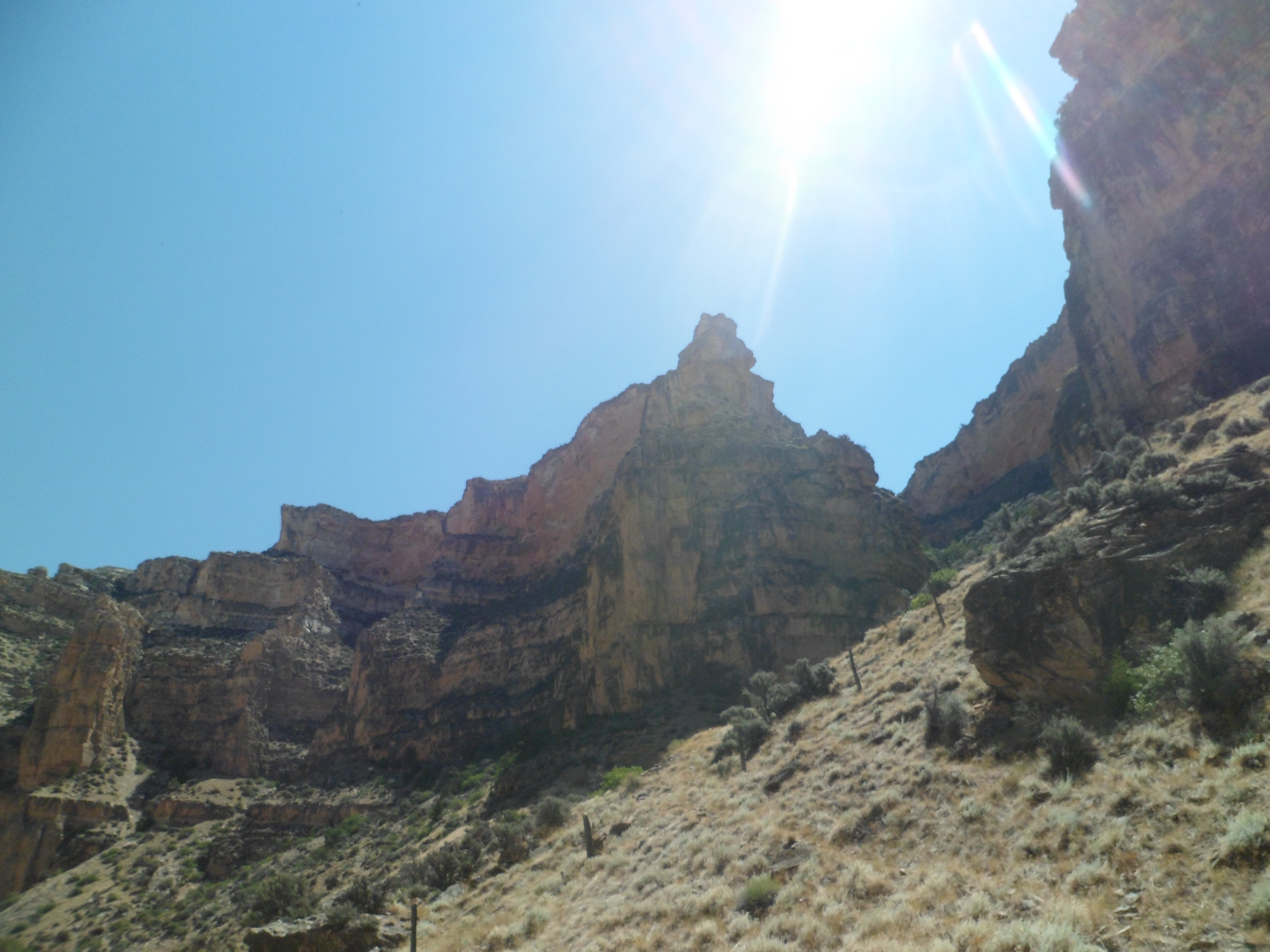
I drove into South Dakota, around noon on Saturday, July 20. Stopping in the town of Belle Fourche (“bel foosh”), I found the Information Center closed, and moved on, past Spearfish, to South Dakota’s rendition of a town too tough to die: Deadwood. There was certainly lots of life there, that sunny afternoon. A shootout re-enactment was going on, uptown, and children were being given the chance to be “sheriff’s posse”.
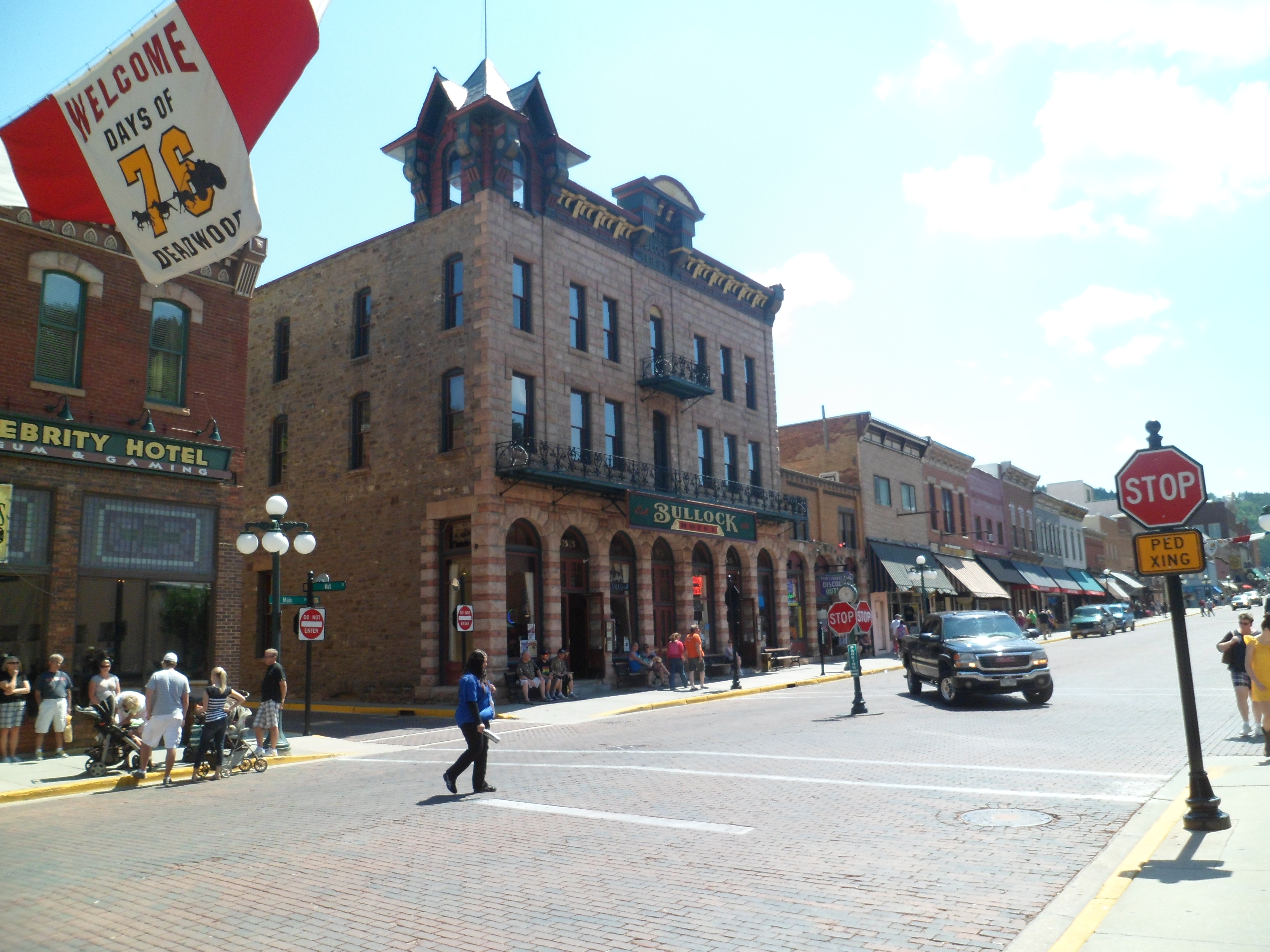
As always happens in Deadwood, the situation was resolved with a meeting of the minds. Please note, I heard no cussing that day. Al Swearingen must still be away on other business. Main Street was a bit quiet, beyond that point. No matter; I was concerned with getting to Main Street Espresso, and Wifi. Along the way, I spotted the site where Wild Bill Hickok was shot, in 1876. Sheriff Bullock’s hotel is also still prominent.
After a refreshing frappe and some time catching up with my world, I said farewell to Deadwood, and headed on towards the heart of the Black Hills, past Pactola Reservoir.
The fisherfolk were out in abundance that day, but I kept my camera lens off them, so they could concentrate on the important stuff.
Next: Heart of the Black Hills, Part 1: Black Elk Peak’s North Slope
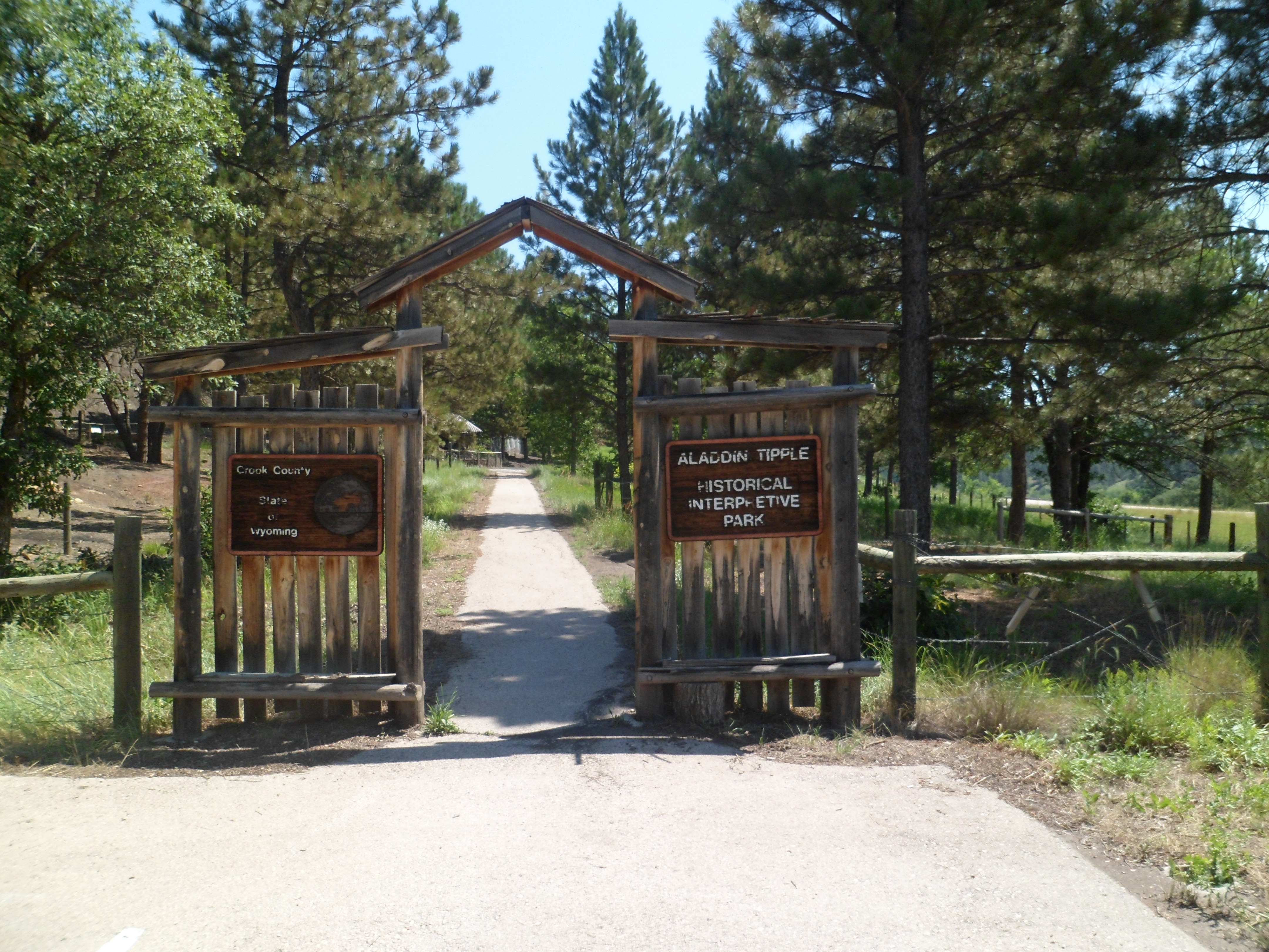
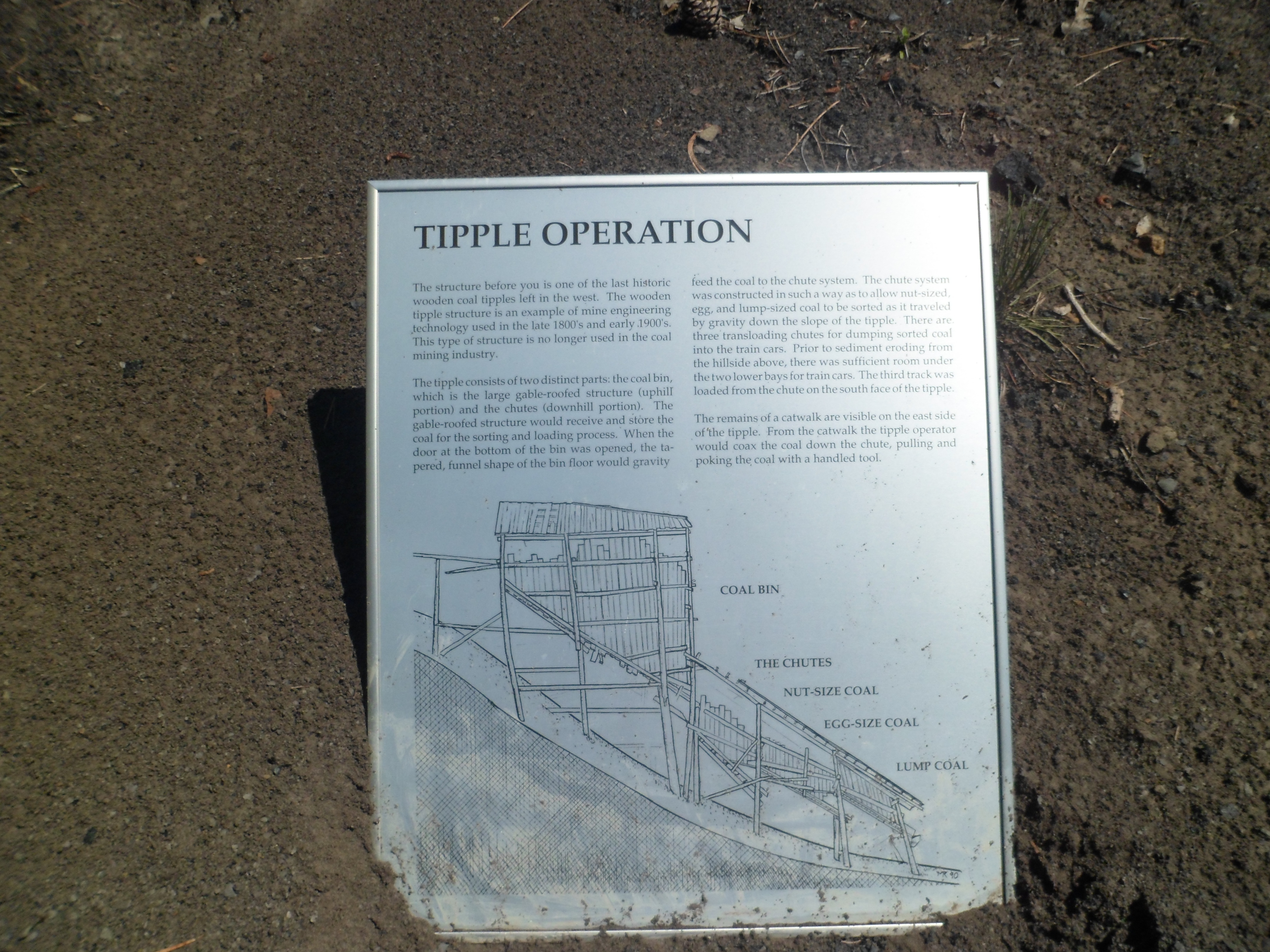
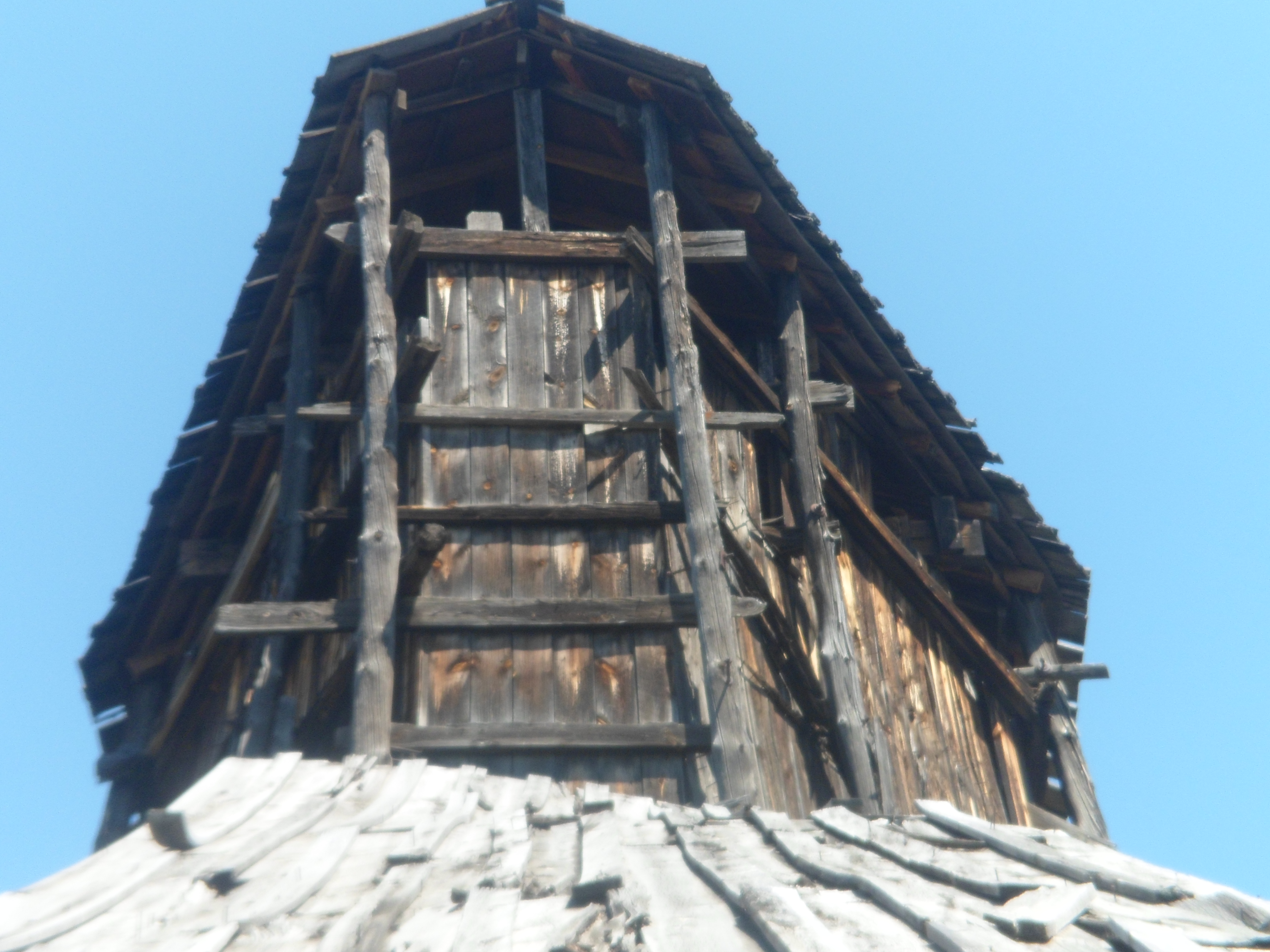
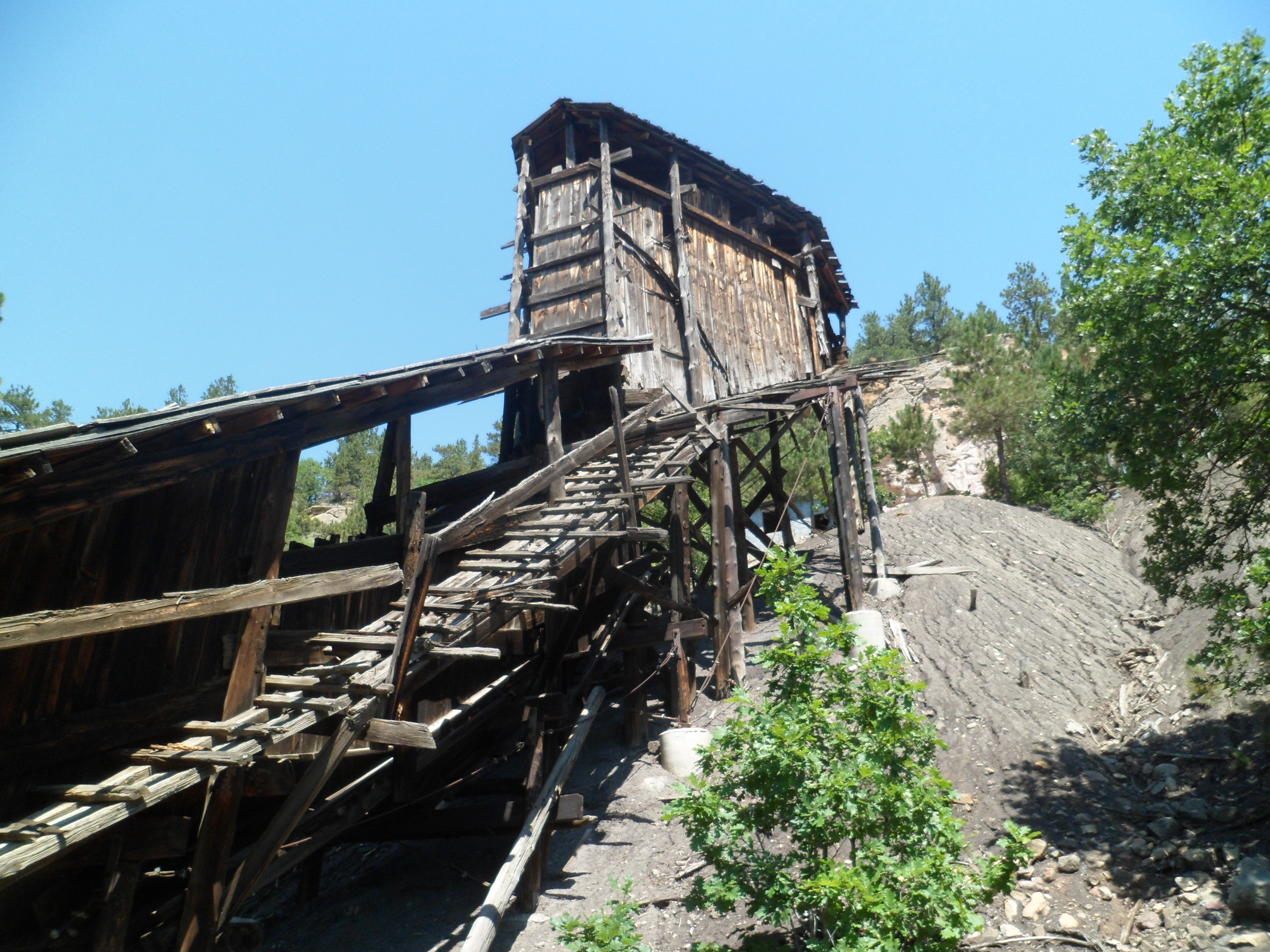
No, it’s not THAT kind of diversion. I don’t take alcohol, and this is not that sort of “tipple”. Aladdin was a coal-mining community, and a tipple is a system for sending coal down a hillside. Aladdin Tipple is no longer in use, but it is preserved by Crook County, WY, as an historical place. Informational signs are placed appropriately, so we may know this aspect of our heritage, whether one likes the idea of burning coal or not.
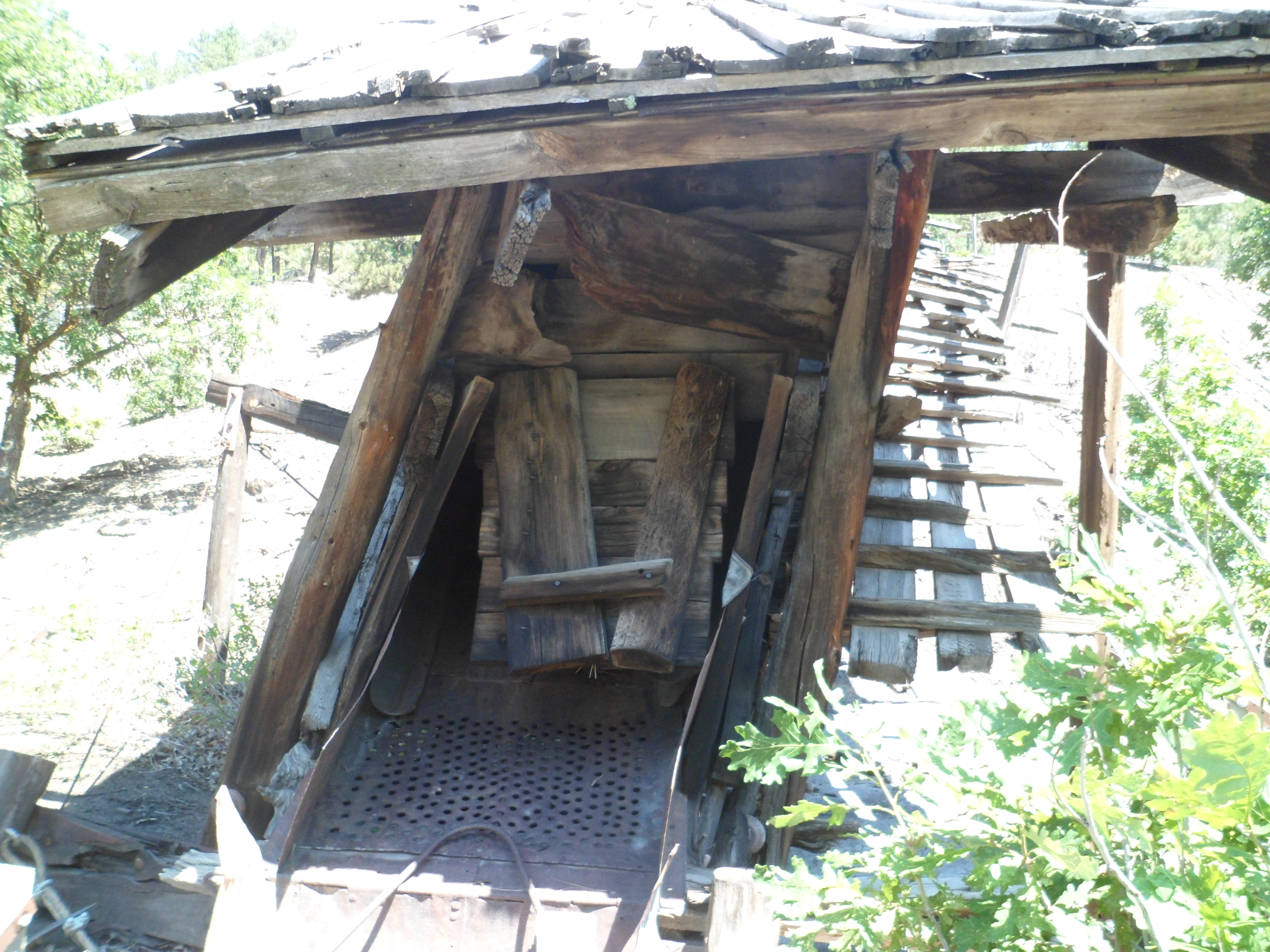
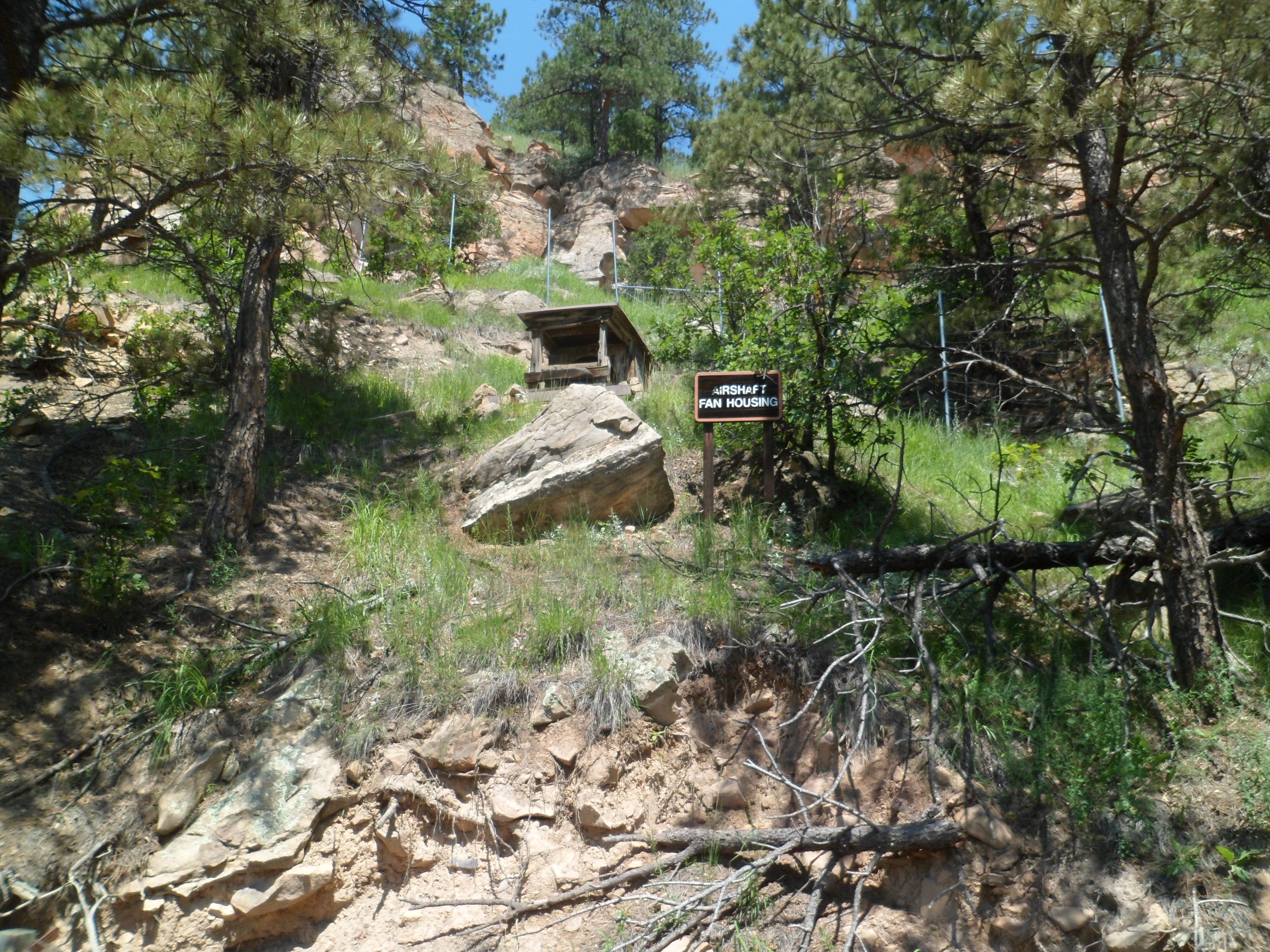
Here are some views of the equipment that is preserved in the park, 1 mile east of the Aladdin Store.
A short climb up the stairs brings one to the top of the sluice, now being reclaimed by nature.
This was Wyoming’s swan song, for this trip. I will be back in the Equality State, someday soon. It has given me more than I can ever repay. Now, on to South Dakota- the Spiritual Arc leading through the Black Hills, to Black Elk Peak and Crazy Horse Monument. An iconic diversion will be covered: Mount Rushmore. We will consider the brilliant prairie sunsets, Corn Palace and decaying farm structures, as well as the openness and camaraderie found in small wayside cafes. The human warmth found in a town named for one of America’s most controversial military commanders also radiates well for the Artesian State.
It was a kind, and delightful, suggestion made by the KOA counter lady, that sent me north, through Hulett and Aladdin, rather than east through Sundance, as I had originally planned. These are solid little towns, with tough, but friendly people, and good stories to tell, as communities.
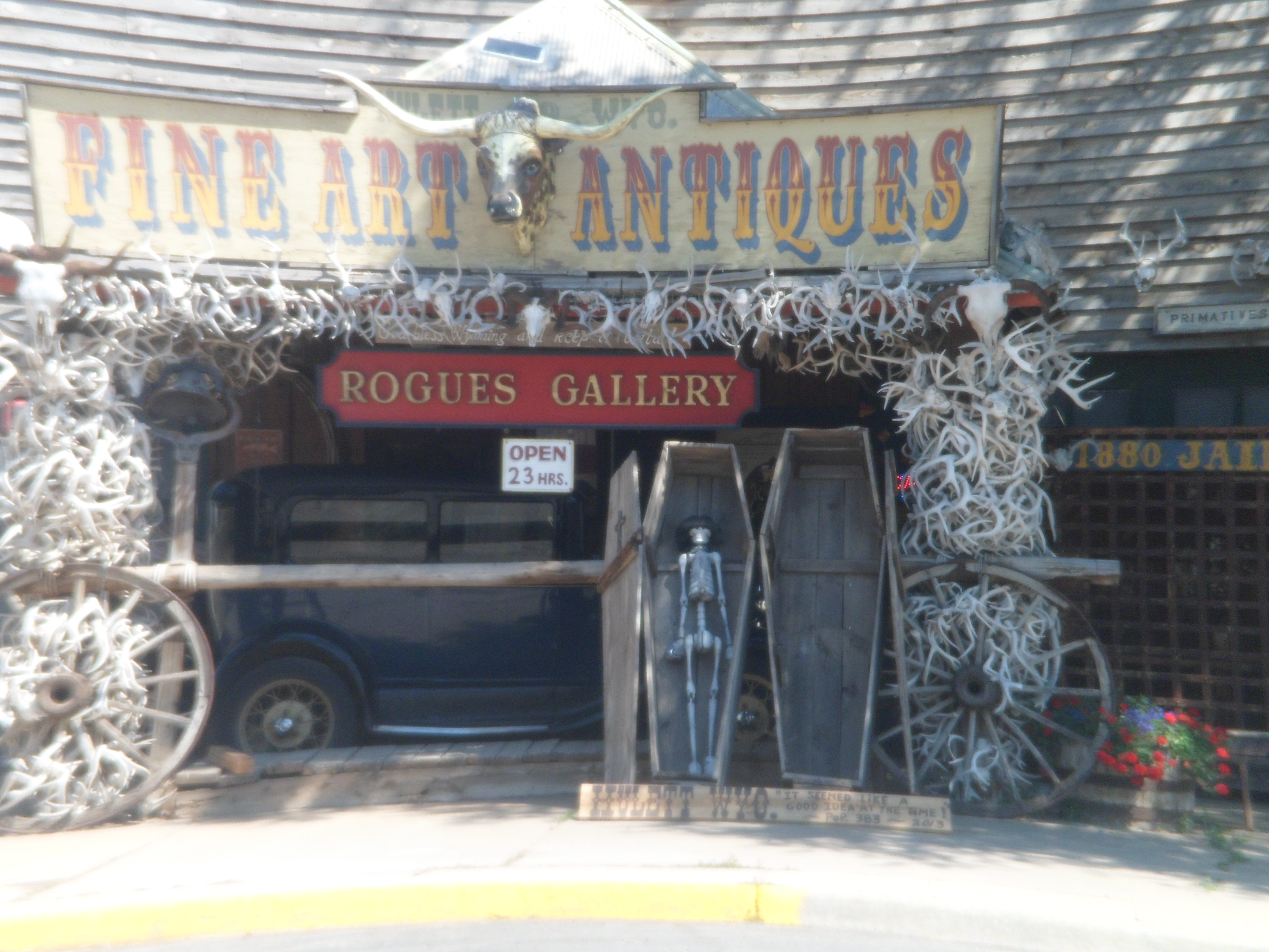
Hulett has a couple of fun little cafes and a kickass shop- Rogues Gallery. It brings in Native American art from as far afield as the Arizona reservations, and has plenty of local stuff as well. Just outside town, one sees the rolled bales of hay that are common to the upper High Plains.
Then, we come to Rogues Gallery.
I had to buy SOMETHING here, so I got a little ceramic bear.
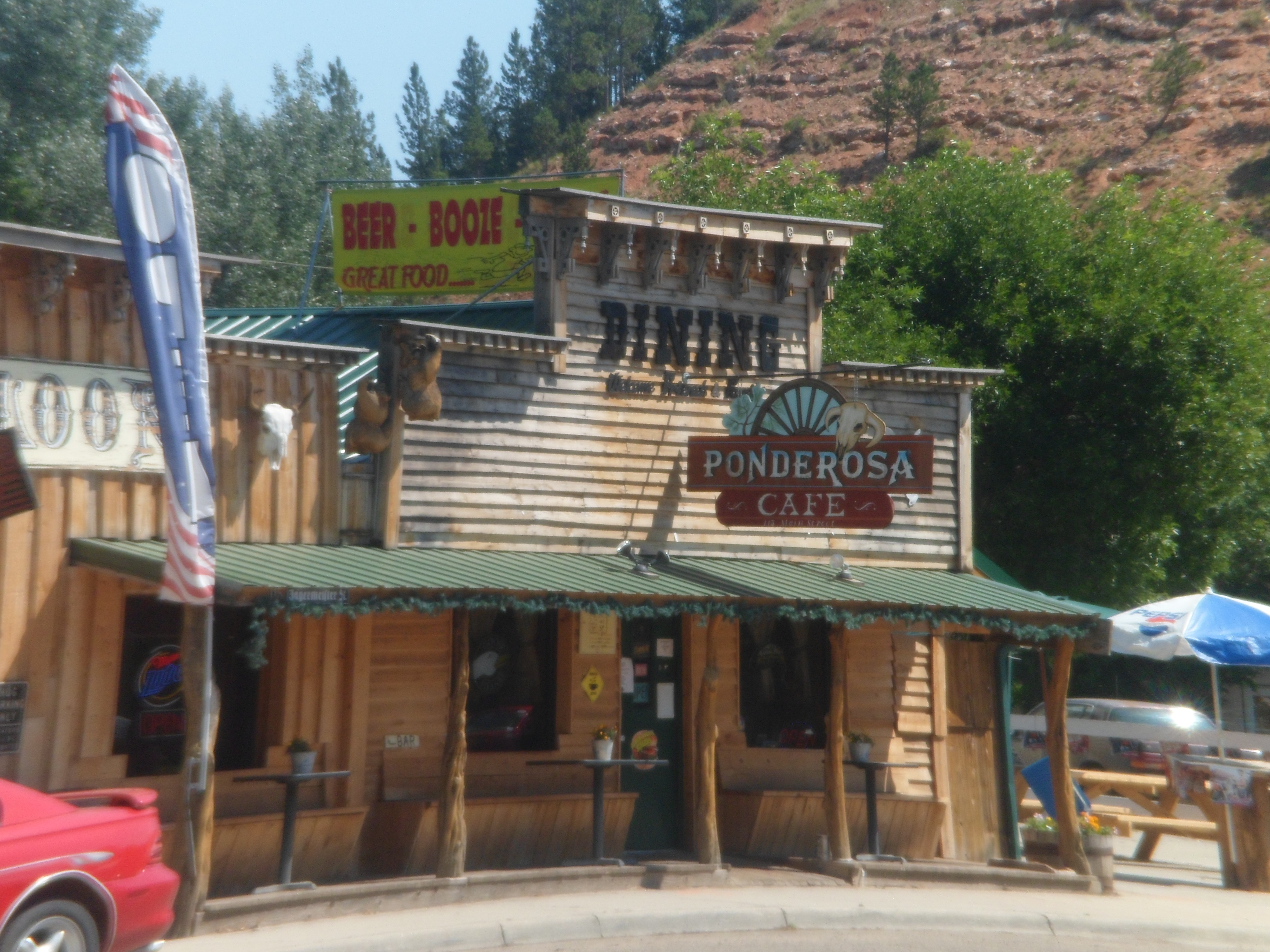
After bantering with the shop clerk for a while, about Indian art and cowboy culture, I had to choose between the two restaurants nearby.
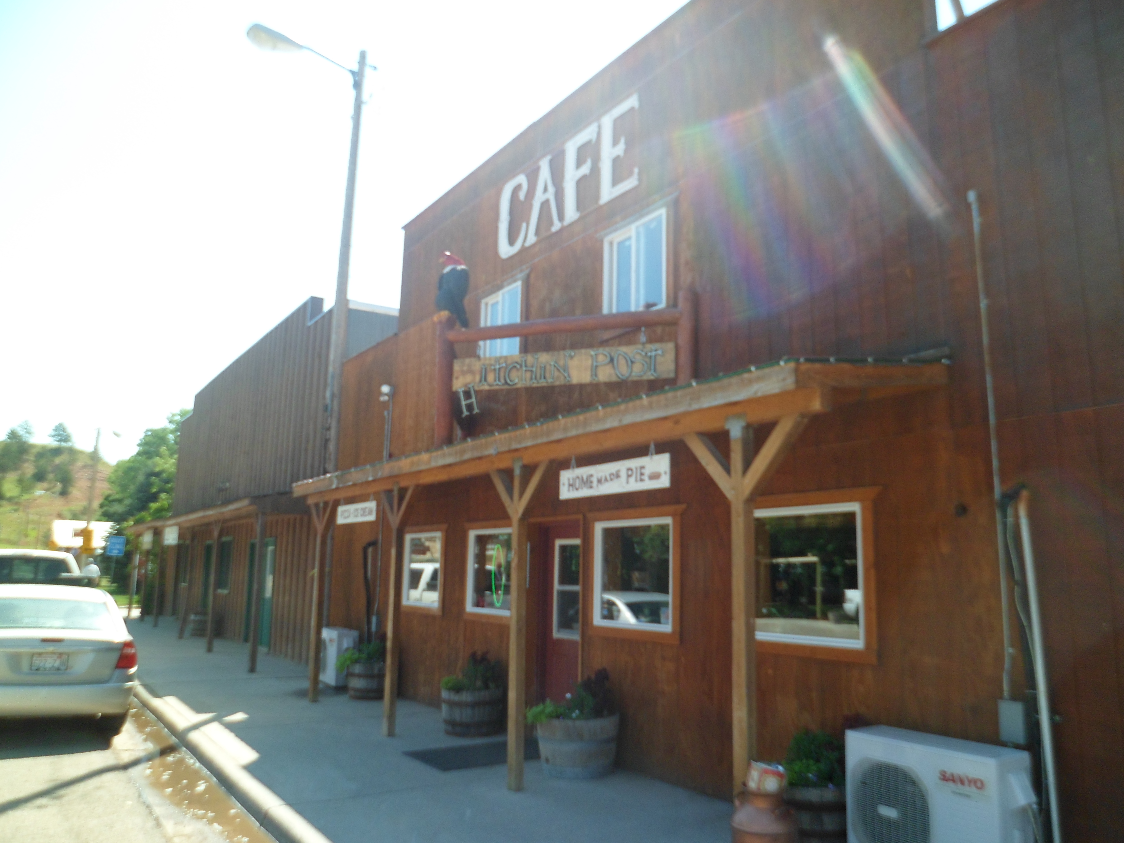
I chose Hitchin’ Post, as that’s where my car was parked. I wasn’t disappointed. The teen waiter seemed a bit befuddled, but he got the order right, and there was enough lunchtime camaraderie that I felt I had grown up here.
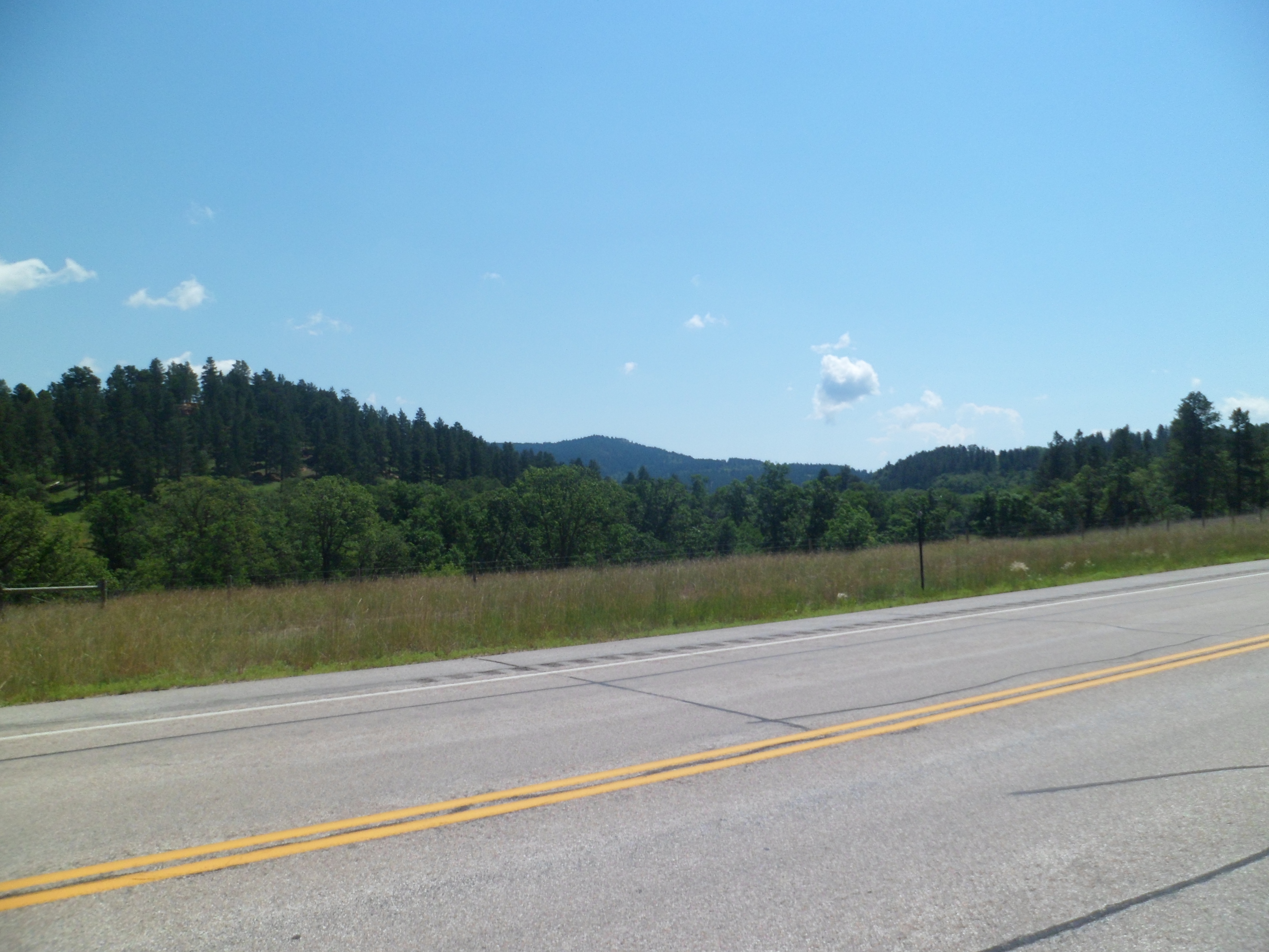
Once lunch, and the tall tales, were finished, I headed out through the Bear Lodge Mountains. These would be a worthy destination, in and of themselves.
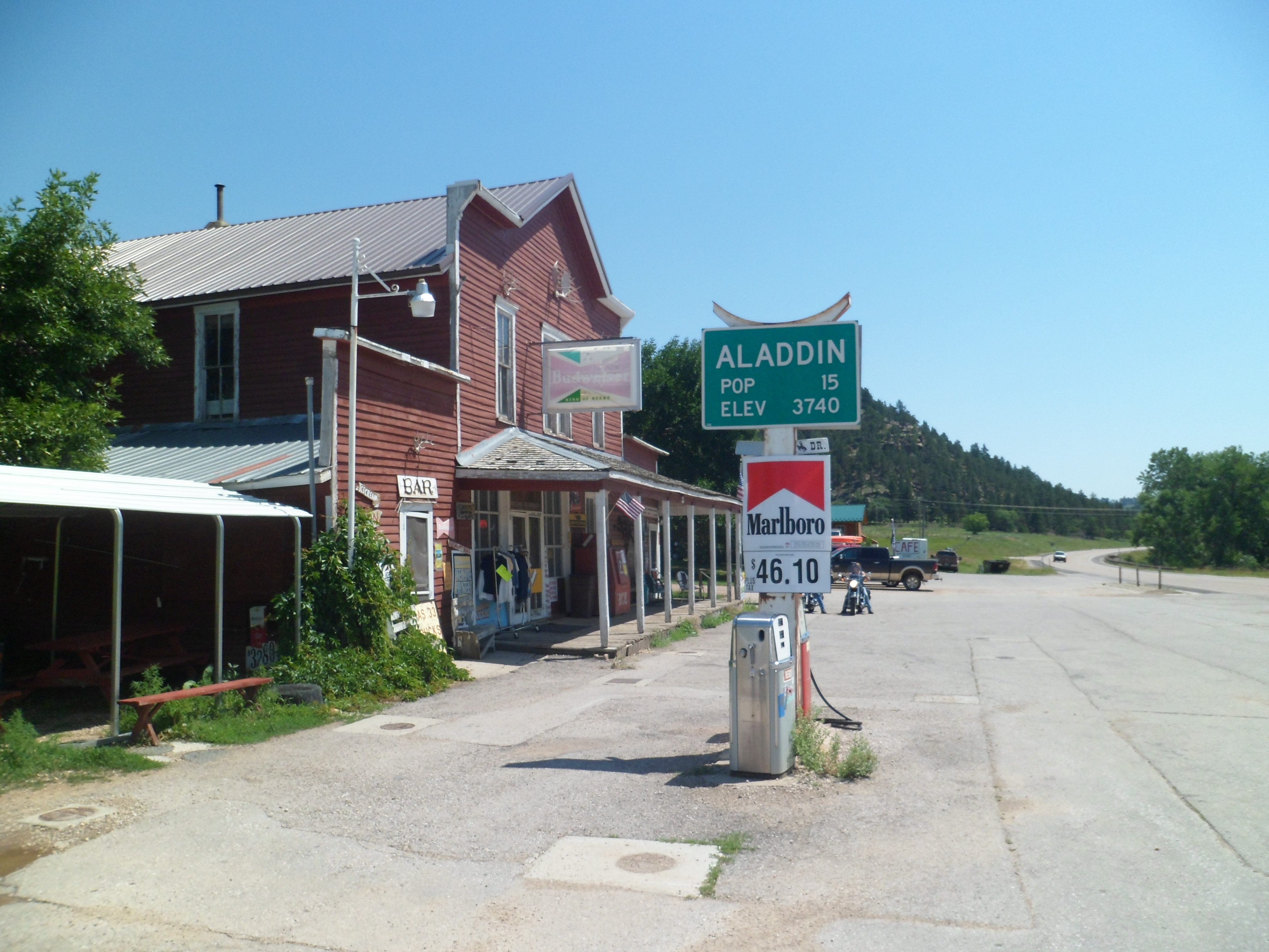
A few miles or so later, the genie presented me with- Aladdin, the village.
The Aladdin Store is ready for anyone.
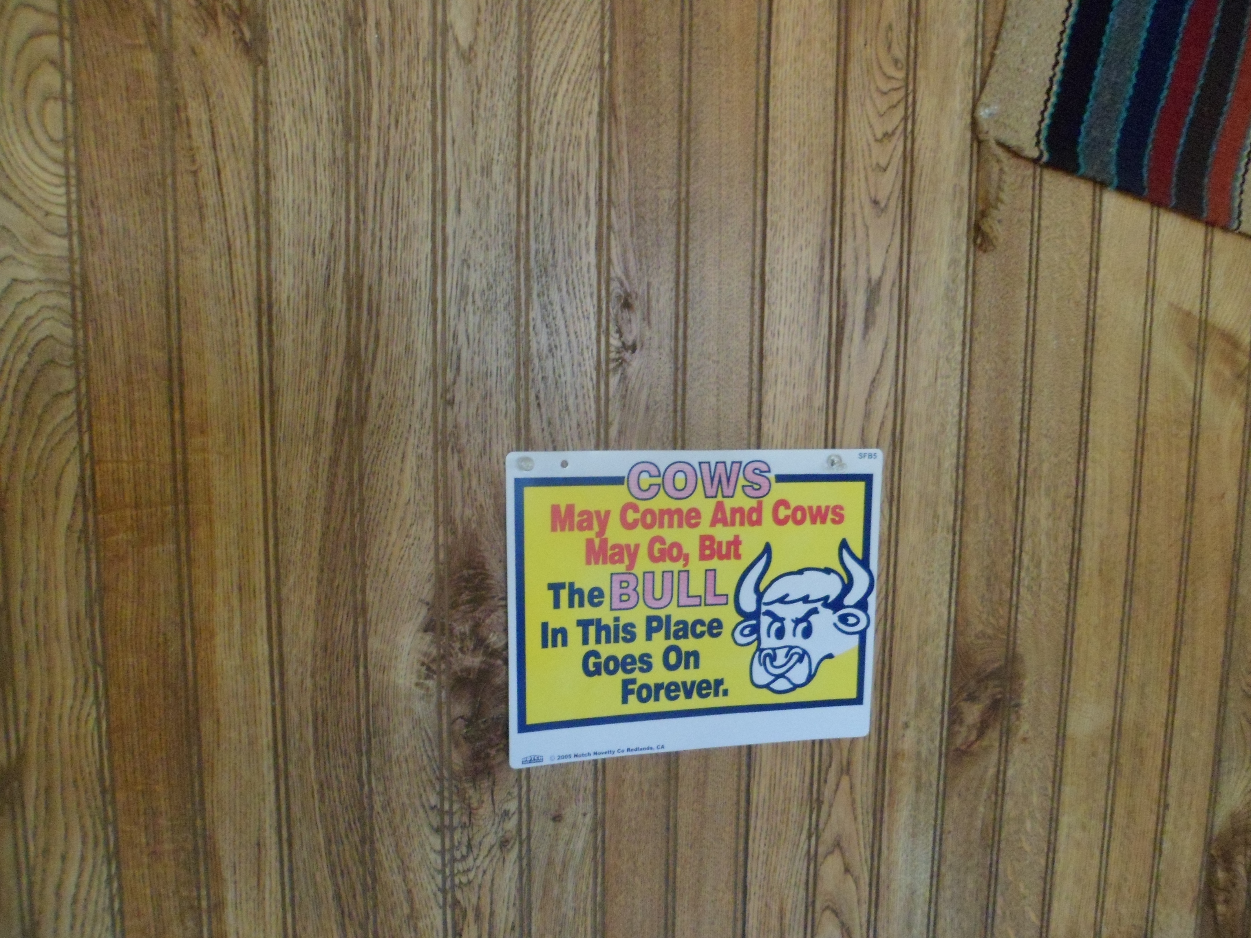
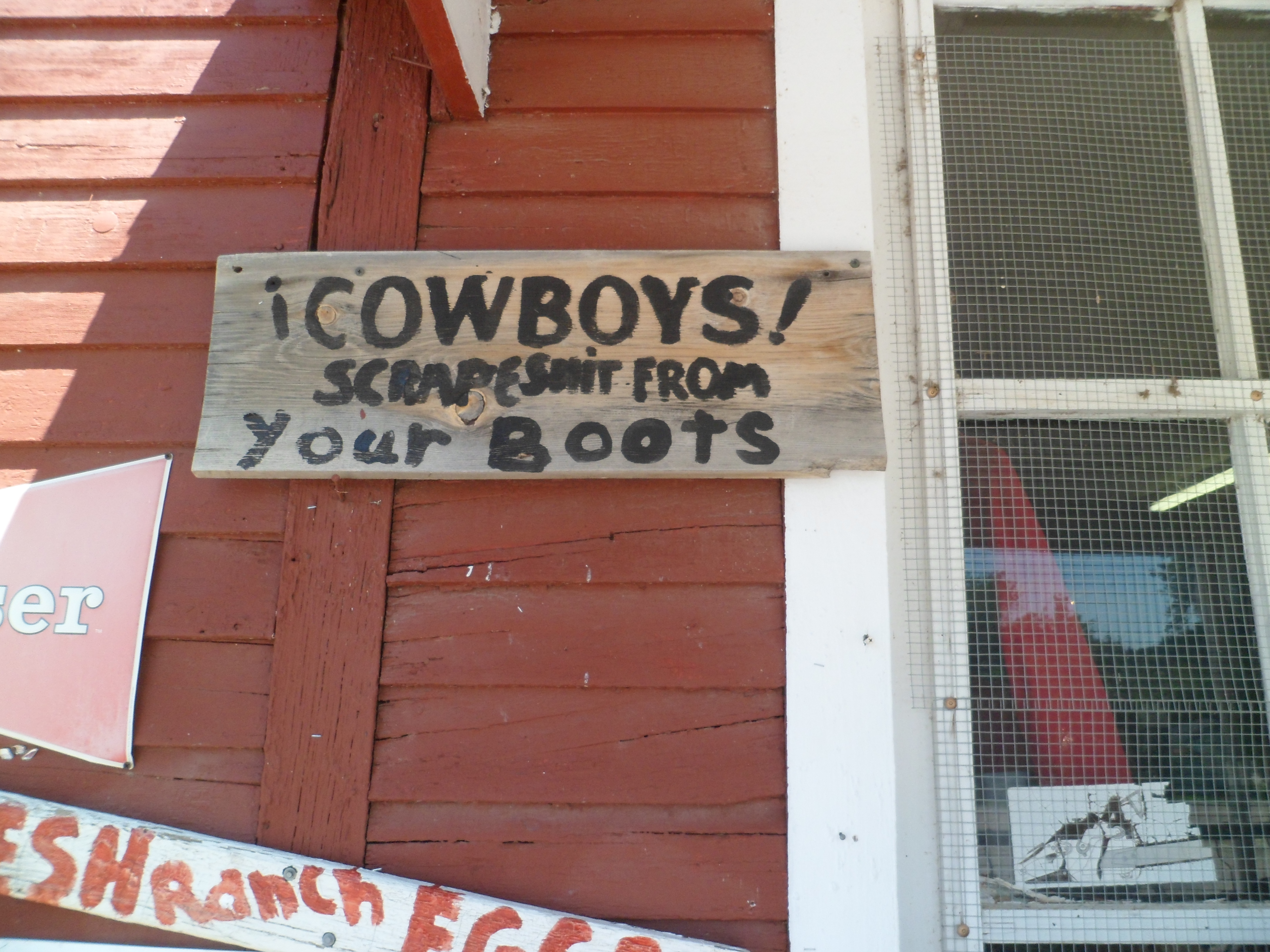
I’ve seen a similar sign, in Tombstone, AZ, aimed at politicians. I was welcomed, as is, given a free cup of coffee and purchased a jar of pickled okra. I understand, from my friend in Oklahoma, that the contents of the jar were quite tasty!
Outside Aladdin, a mile or so, east, lies Aladdin Tipple Historic Park. I will show that, next.
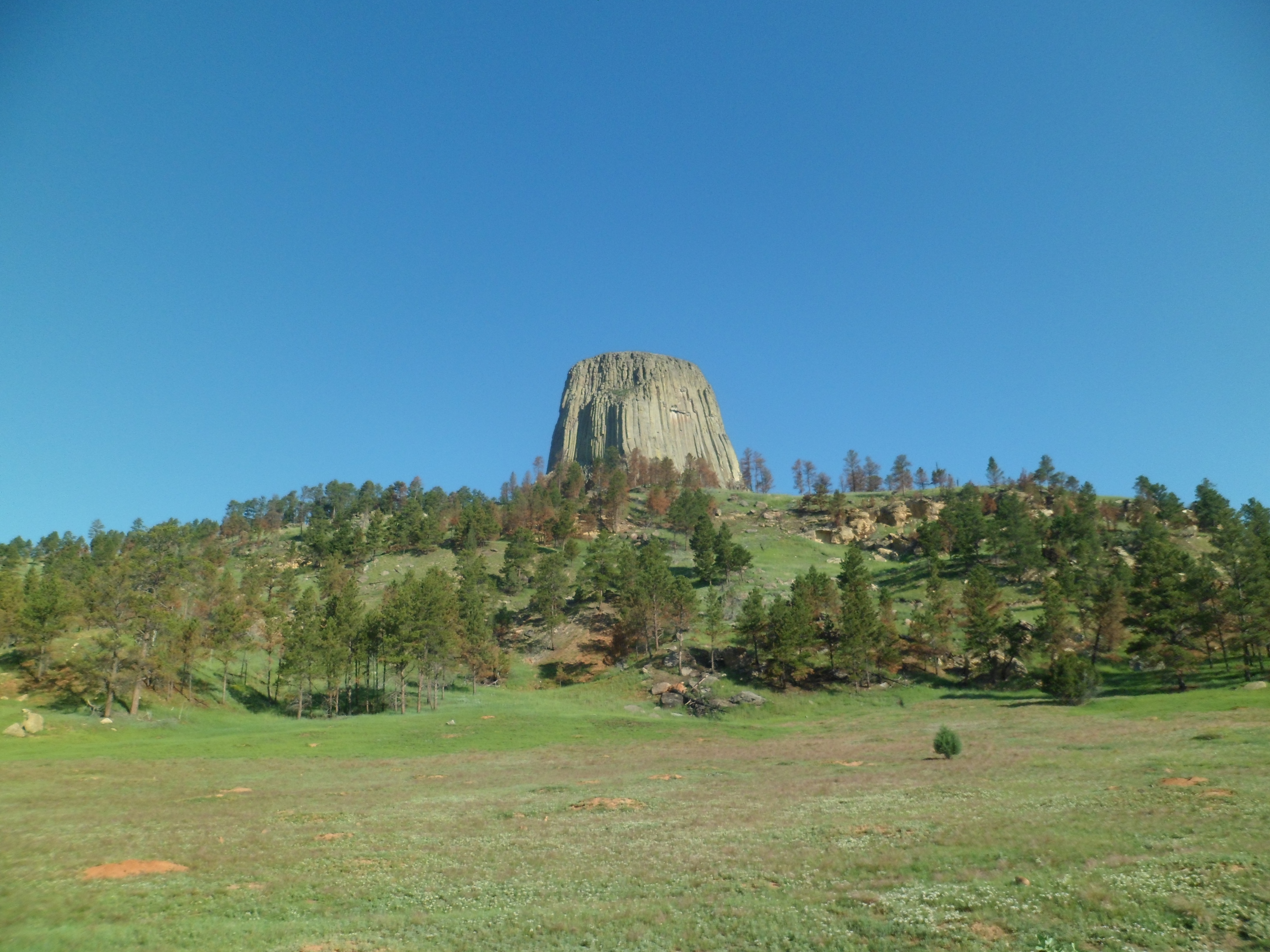
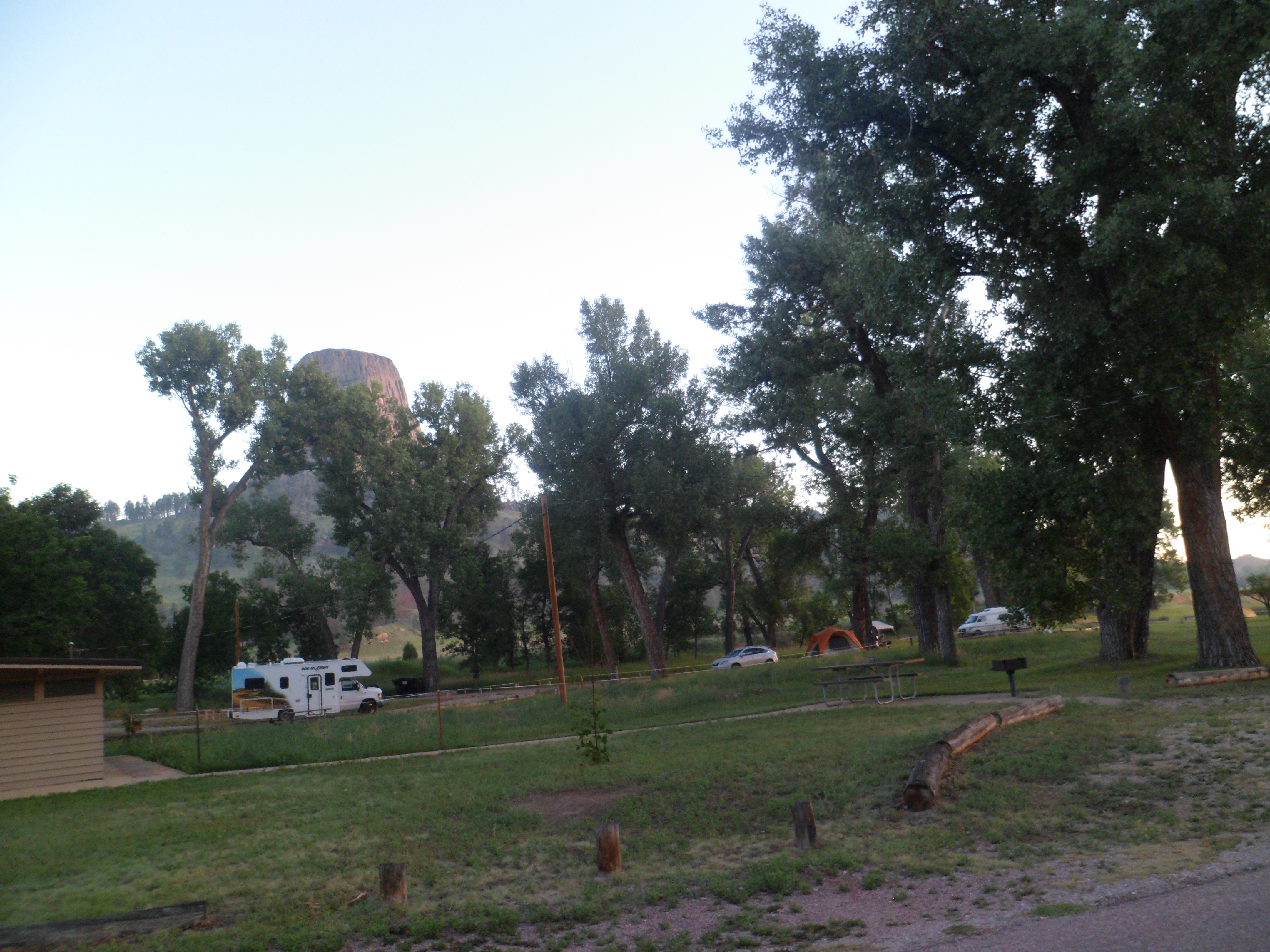
Devils Tower, aka Spirit Tower, or Bear Lodge, was originally to be the third stop on a summer-long journey across North America. Several things combined to effect a change in that plan. I’m happier for it. I will reach all the postponed destinations over time.
As it stands, the Tower is close to the culmination of a drive across Wyoming, which lasted three and a half days, and has provided fodder for several posts. It is also near the western terminus of what has served me as a spiritual arc, along which I have focused on discarding baggage, that would ill-serve me in any future relationship and on putting spiritual energy into focus for several greater goods.
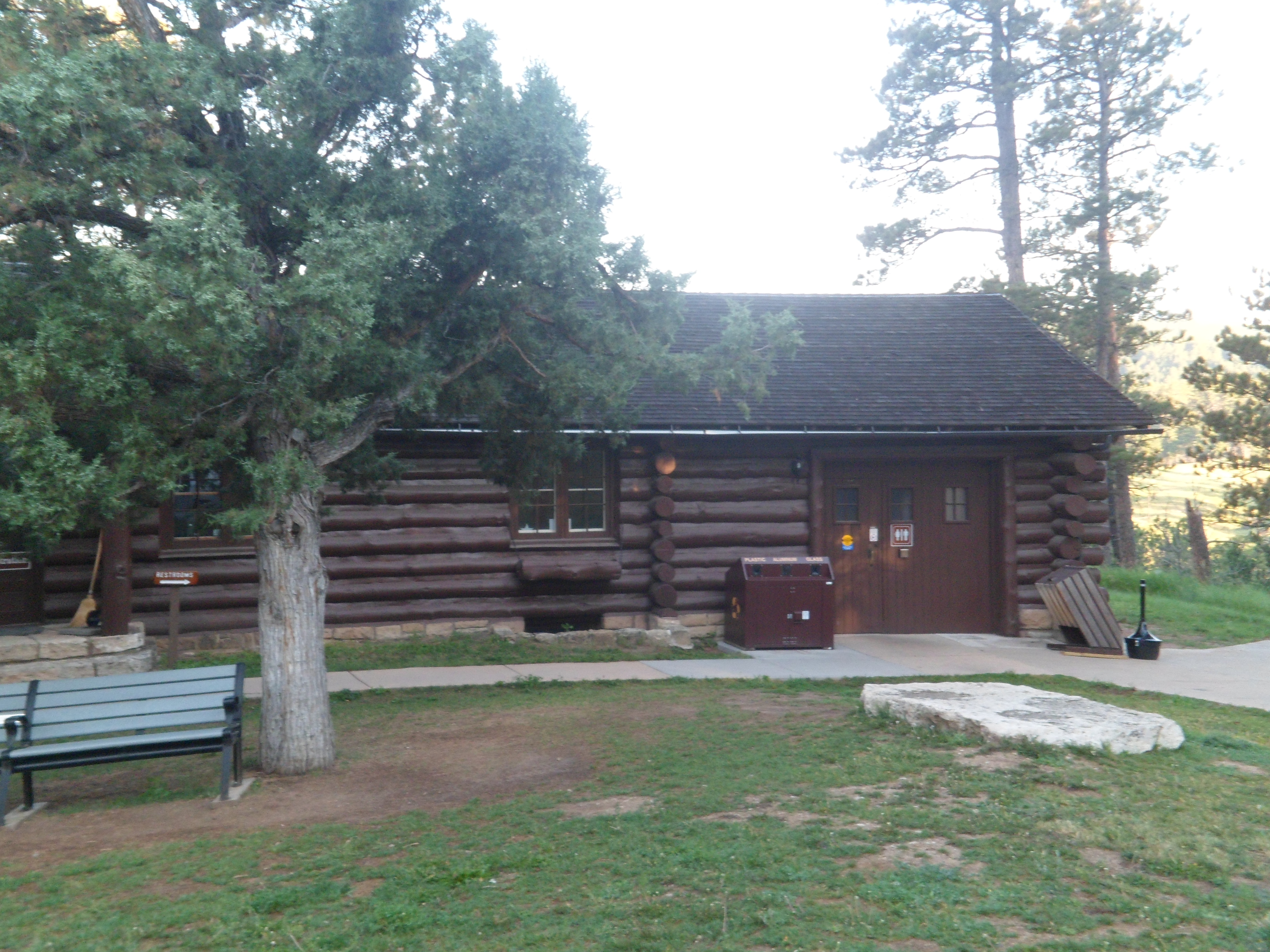
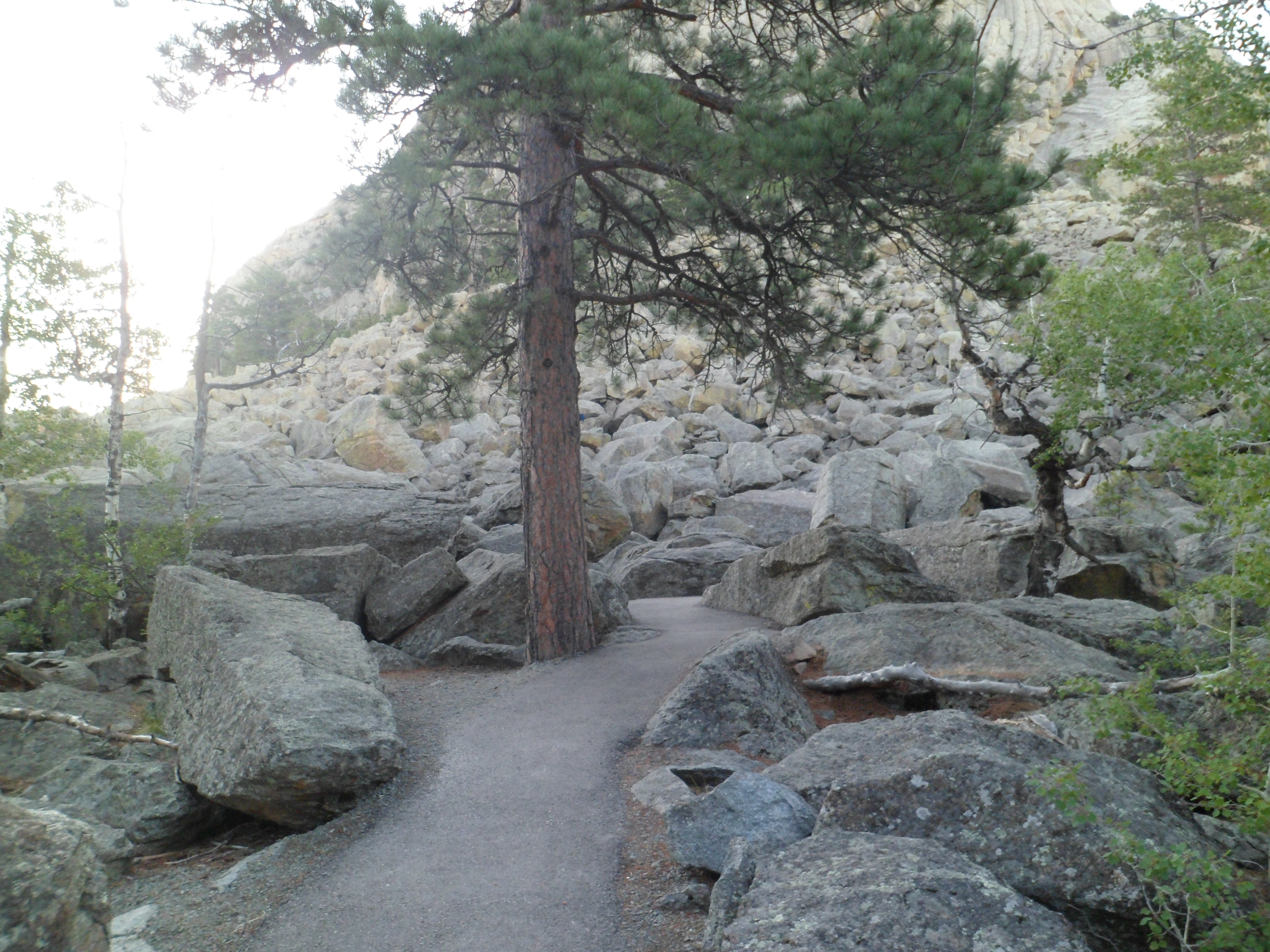
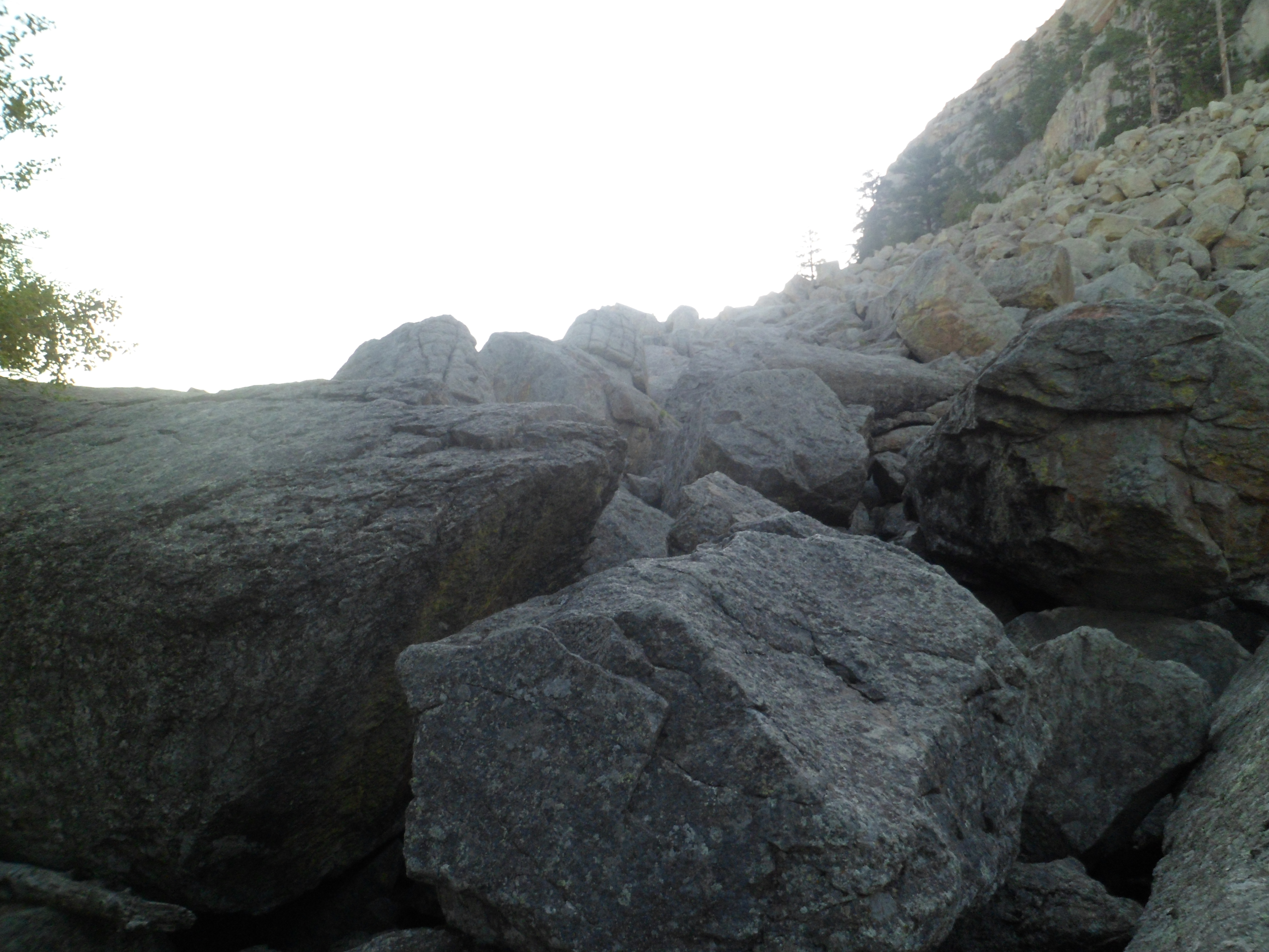
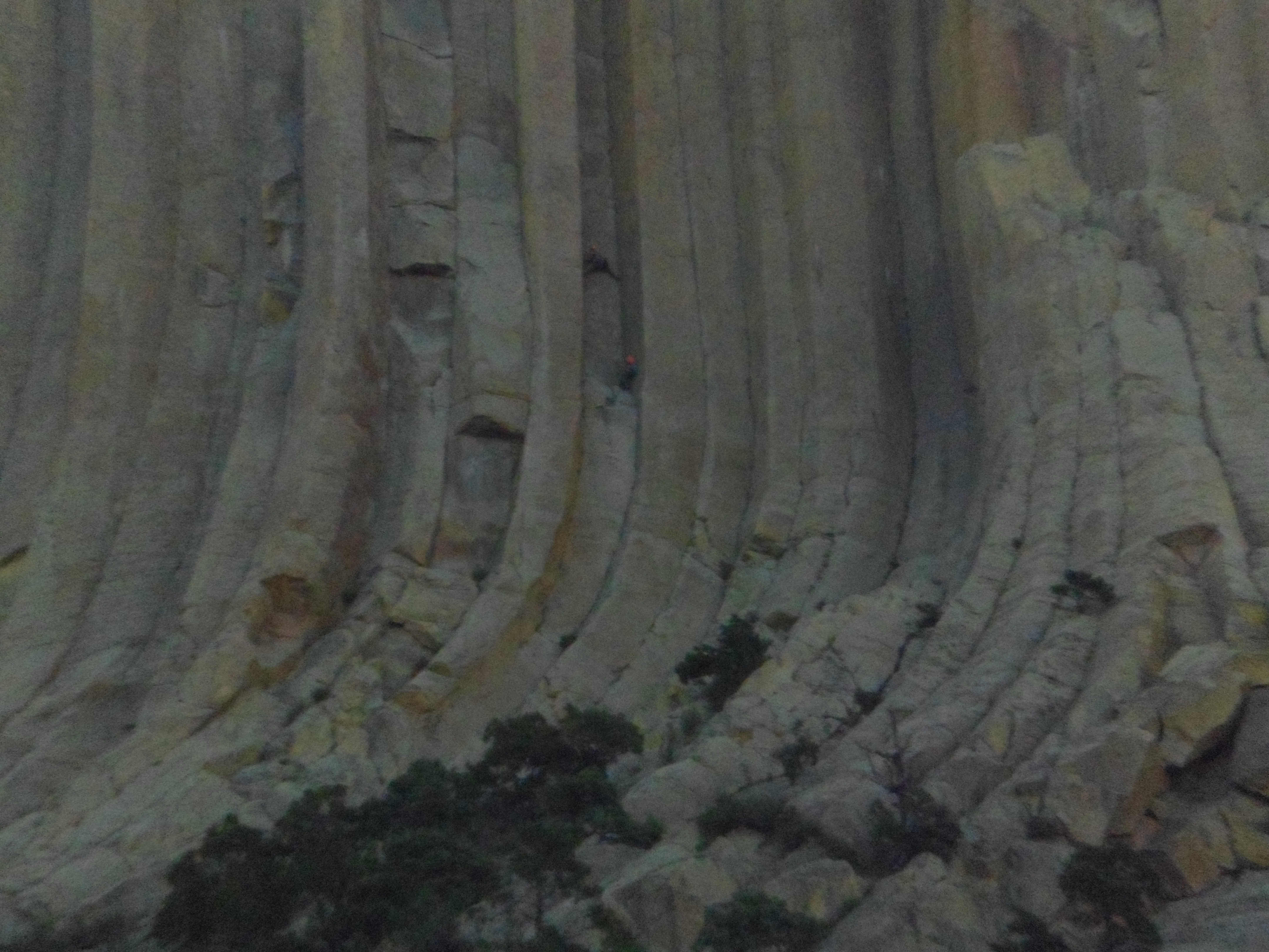
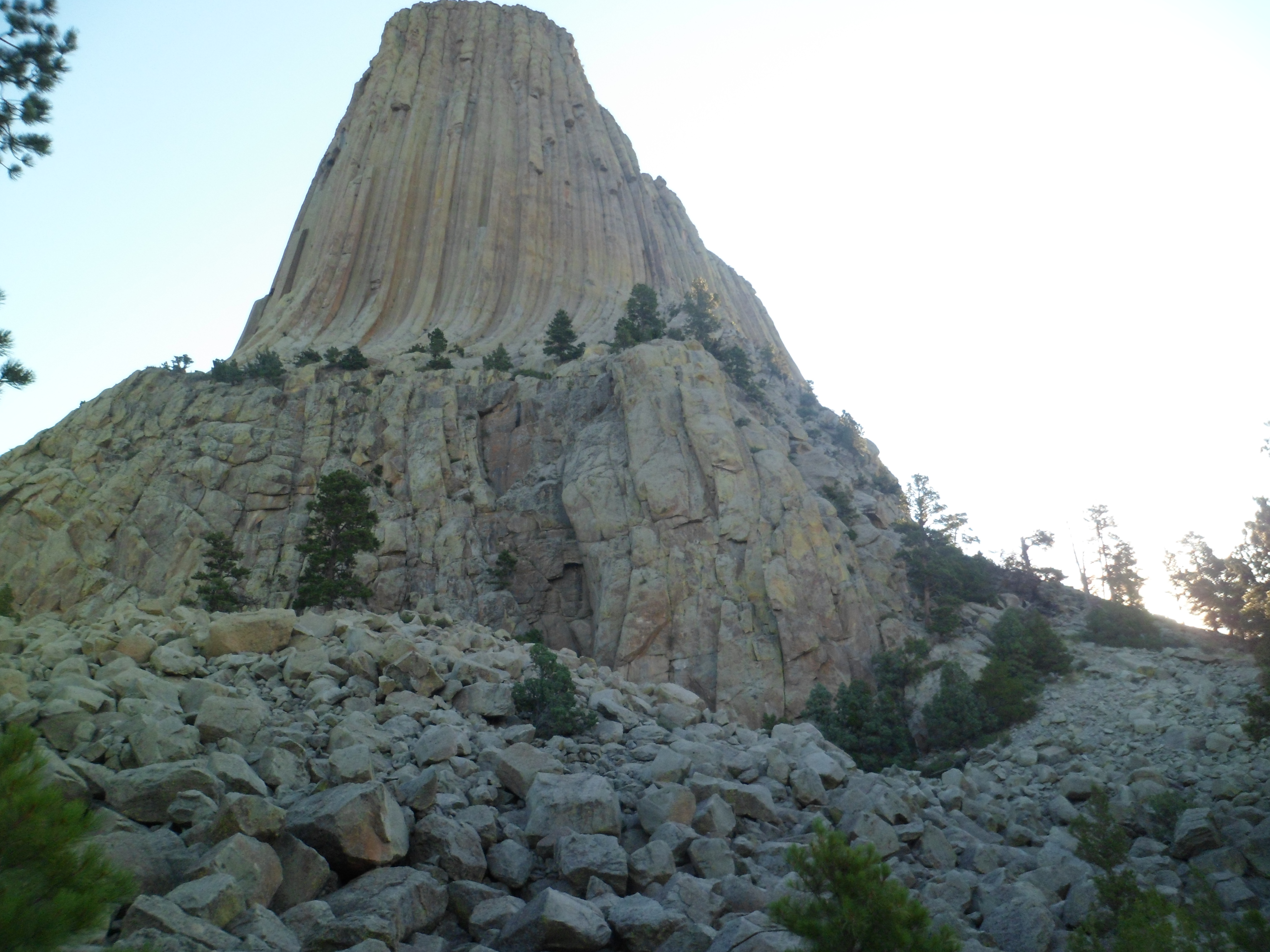
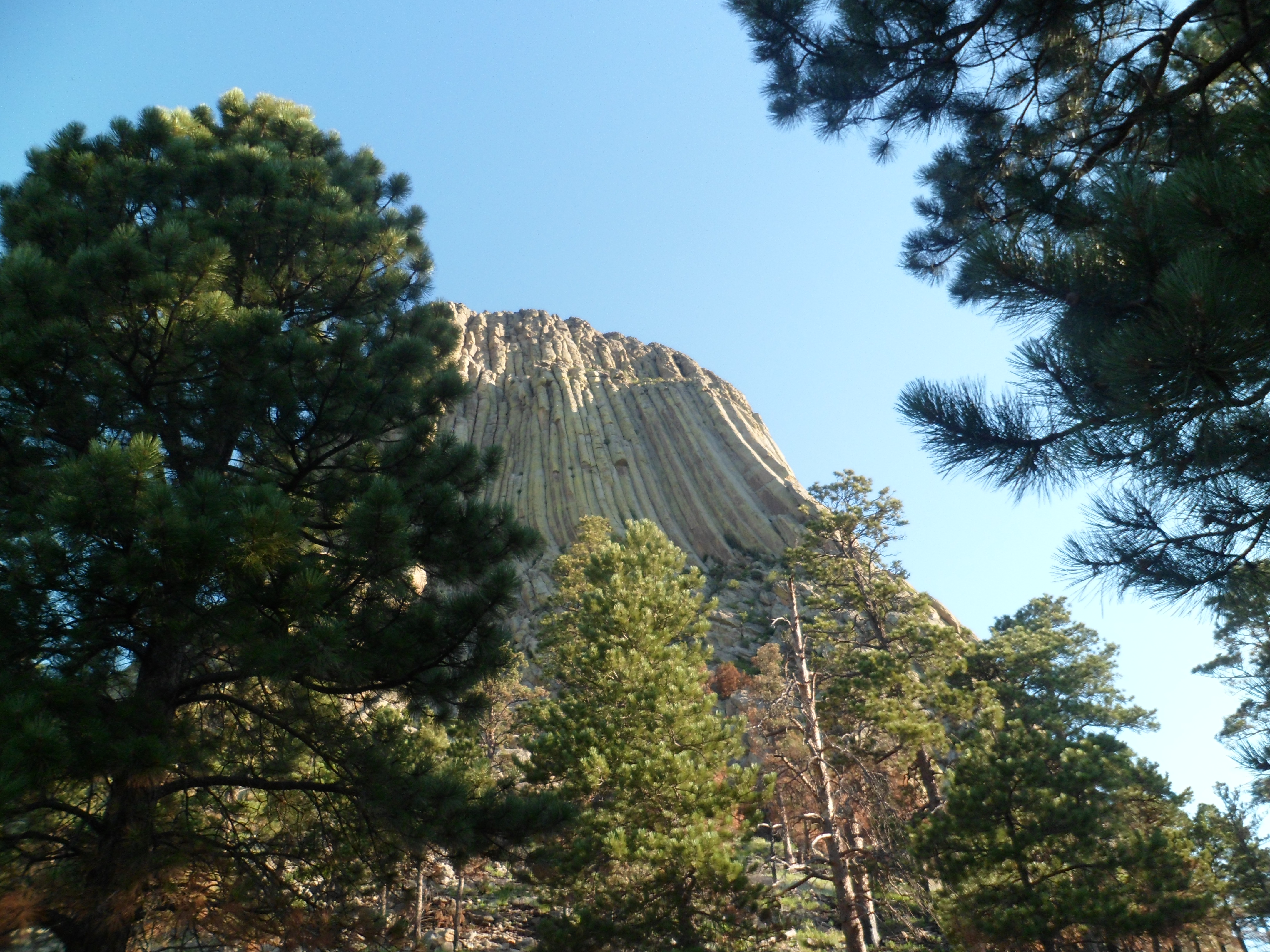
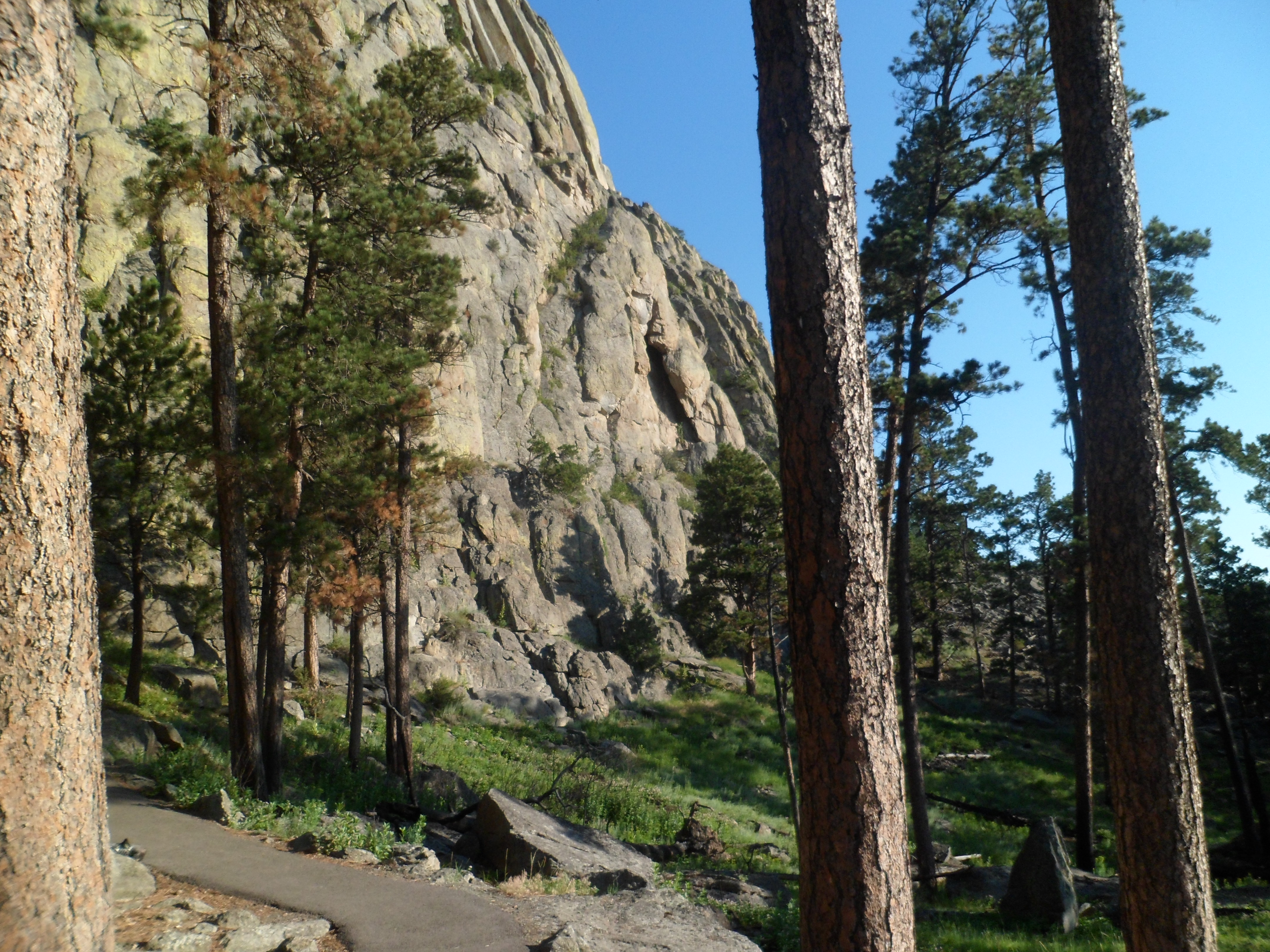
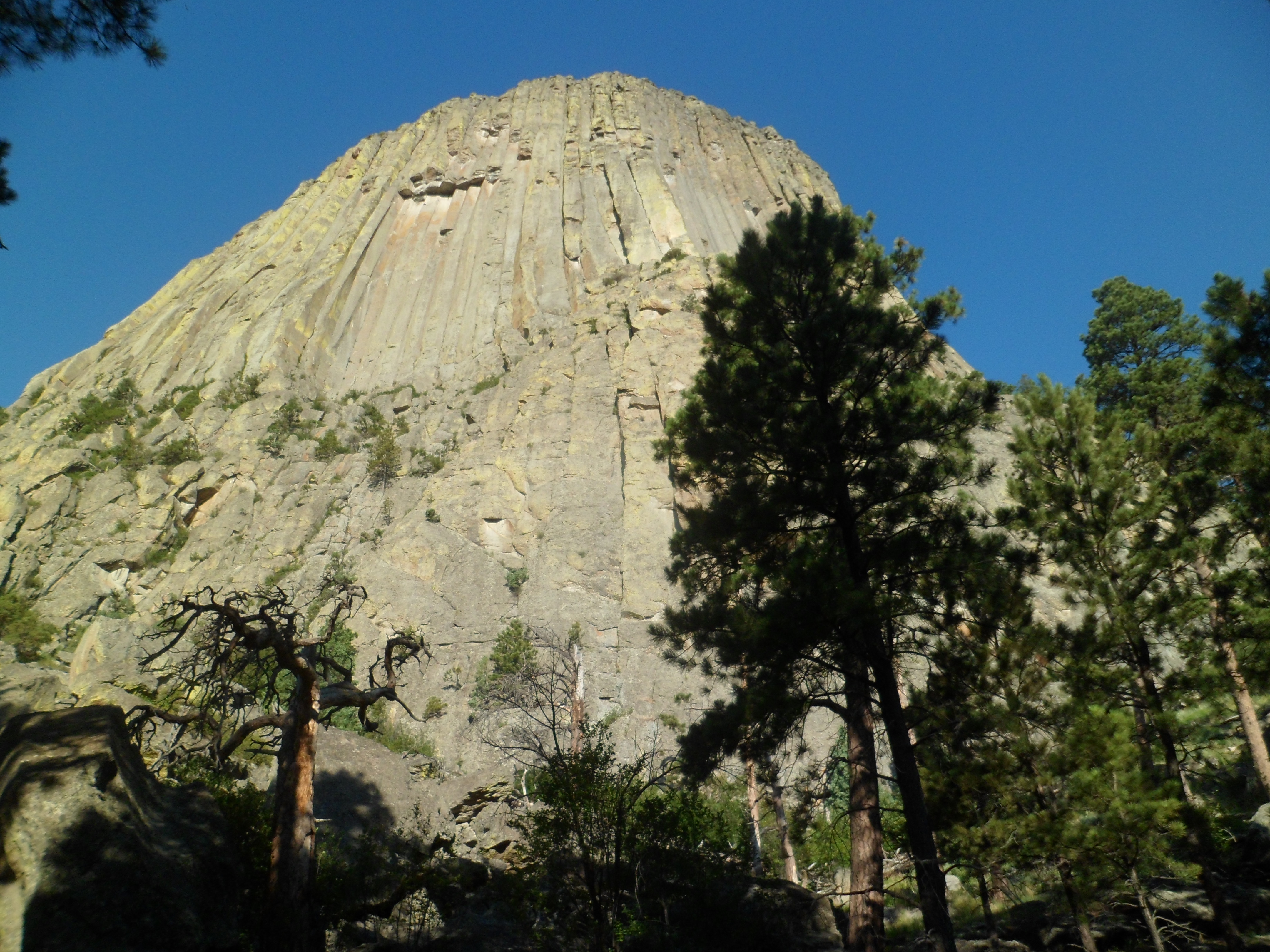
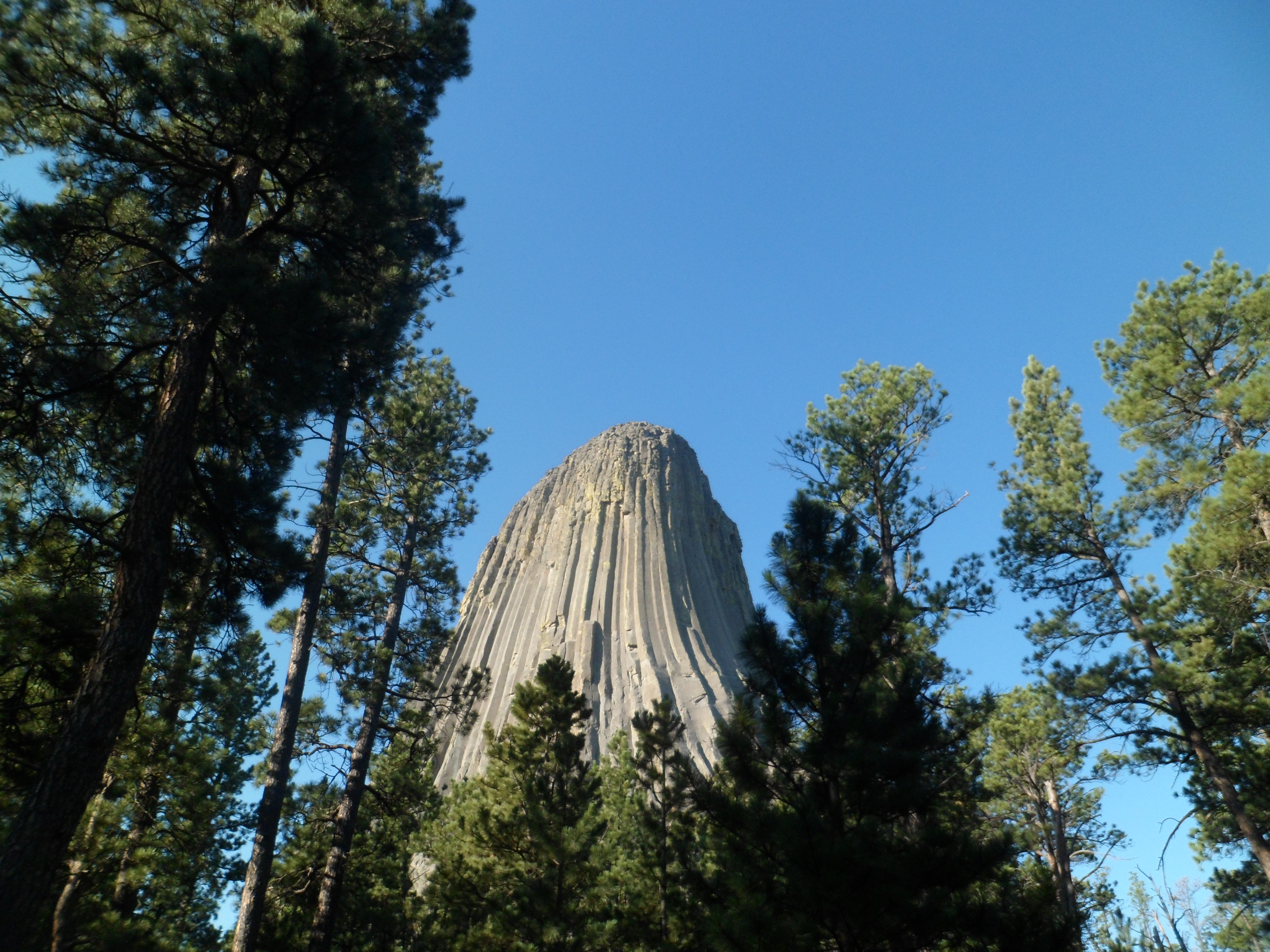
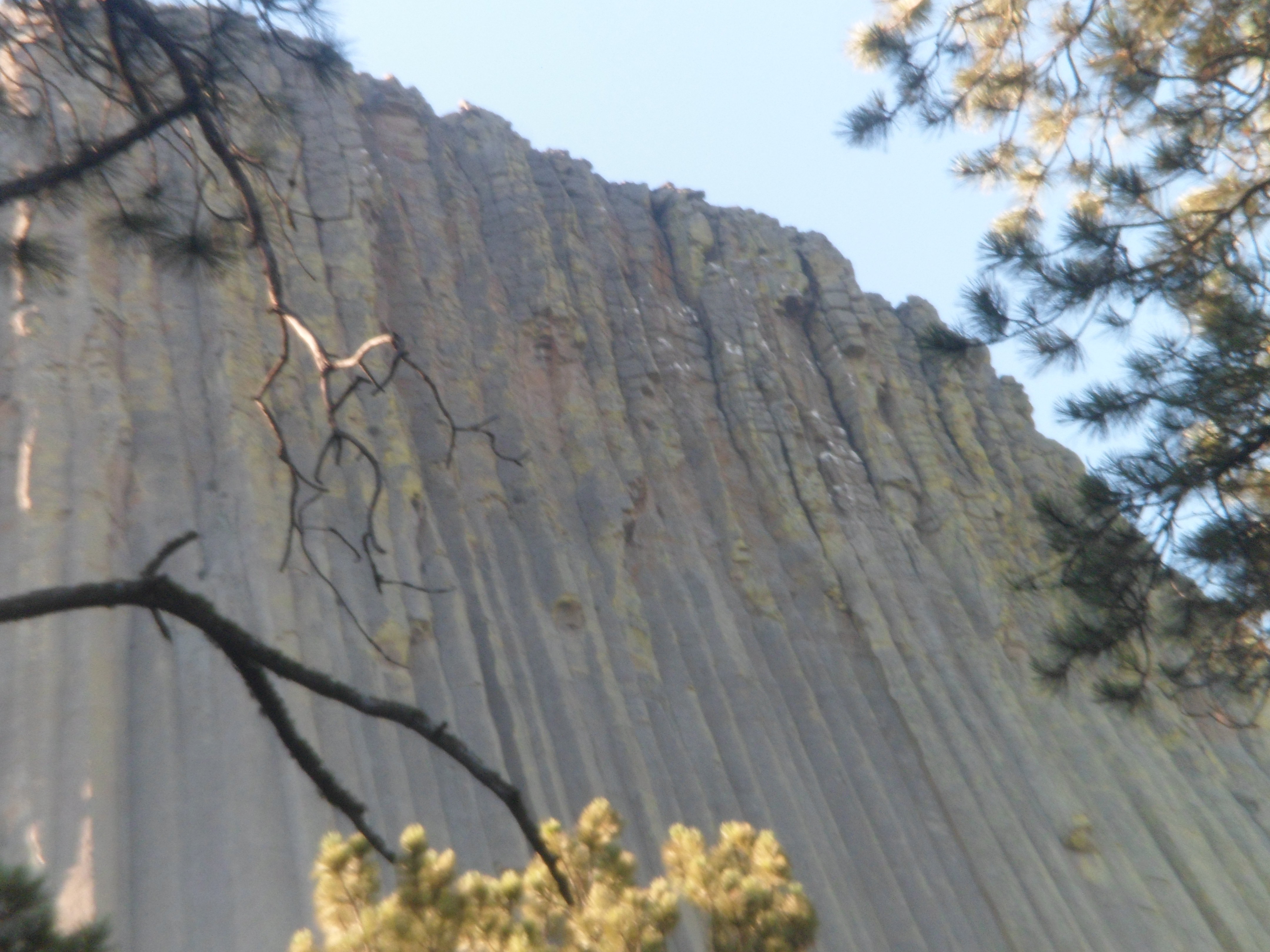
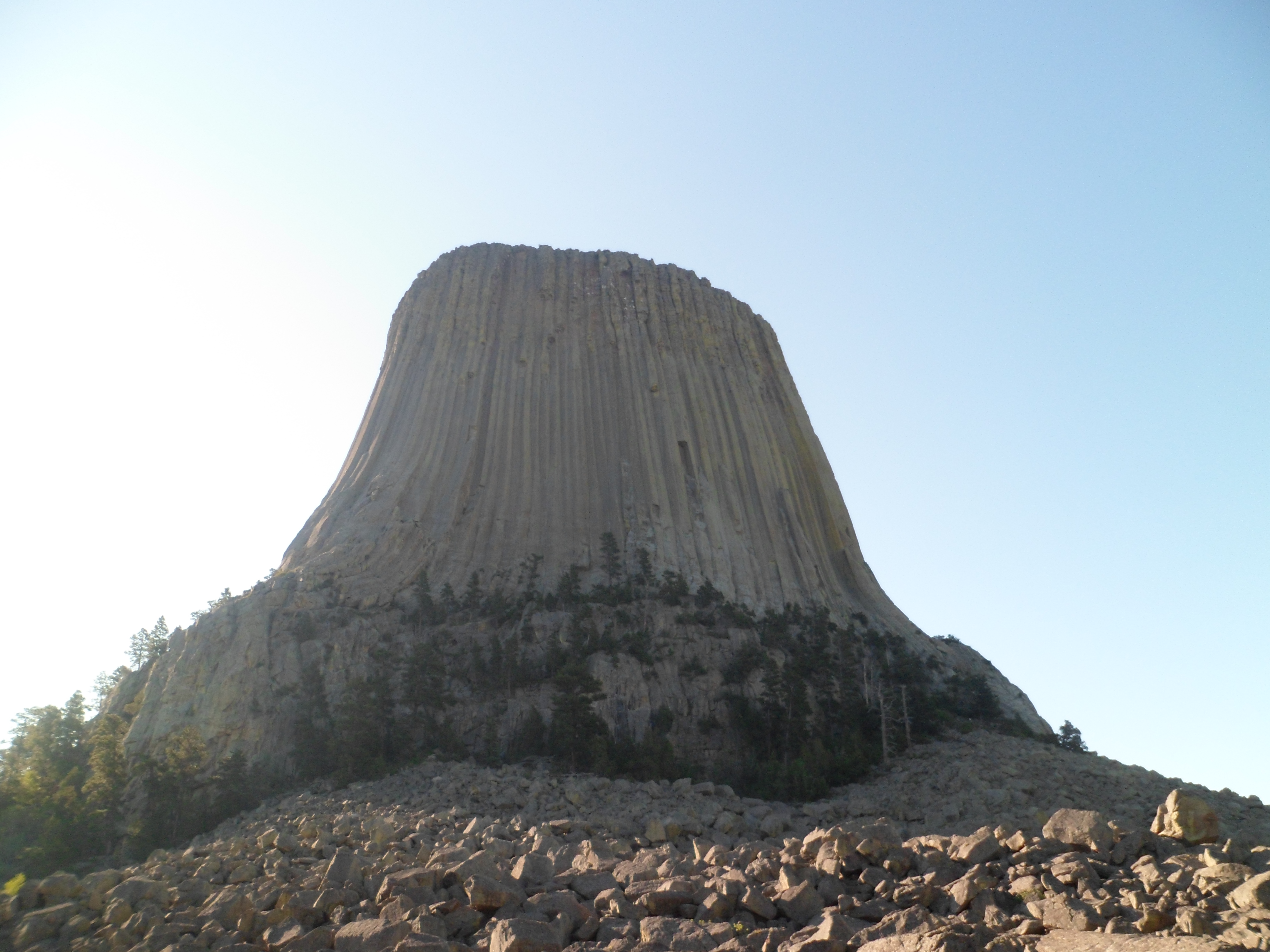
I awoke early on Saturday, July 20, and got myself together by 5:30 AM. You have already seen the Tower at dawn. Here are views of the phonolite monolith, from each direction, as well as of the boulder fields that lie at its base. I started at the Visitor Center, which is one of the oldest log cabins in the region.
My route that morning was counterclockwise, mostly because I had not woken up enough to focus on going through the boulder field and finding the southern part of the trail, which would have gone in a clockwise direction, far preferable in circling a place such as this.
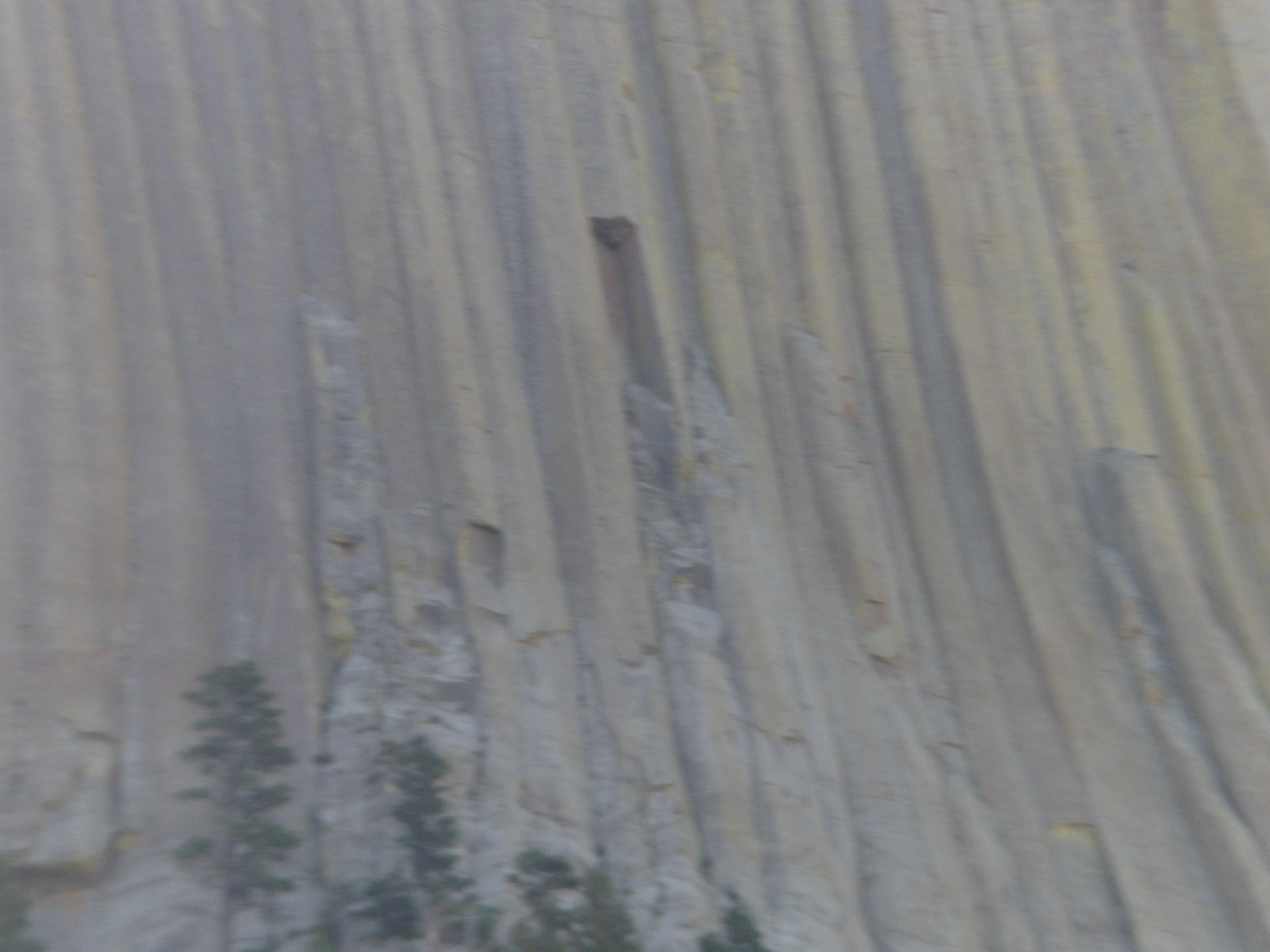
So, here are scenes on the southeastern face of the Tower.
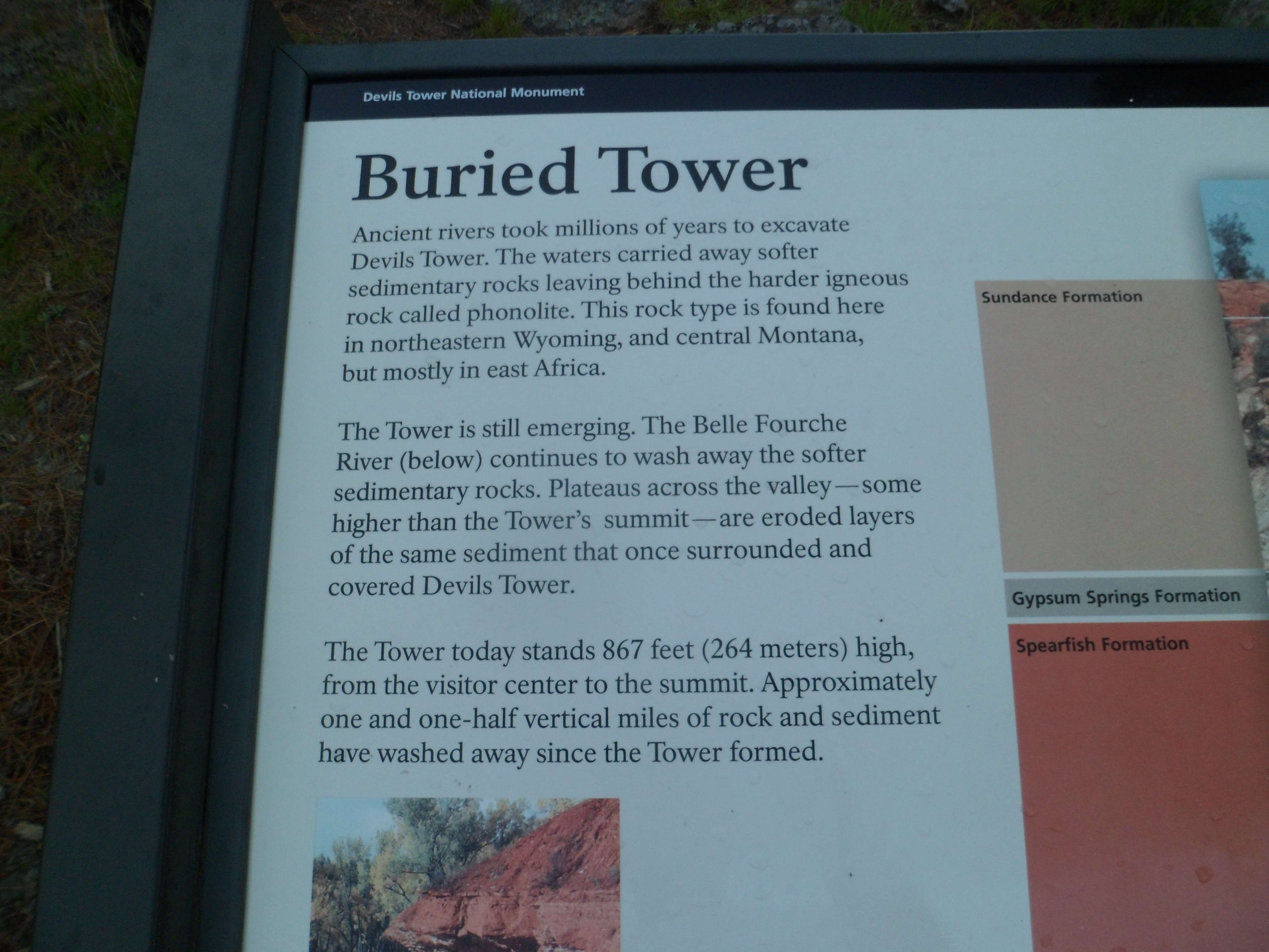
The phonolite, which gives the Tower its unique surface, is the result of an igneous intrusion, caused by volcanic uplift. Devils Tower is still rising, throwing boulders out of its way as it shoots slowly skyward.
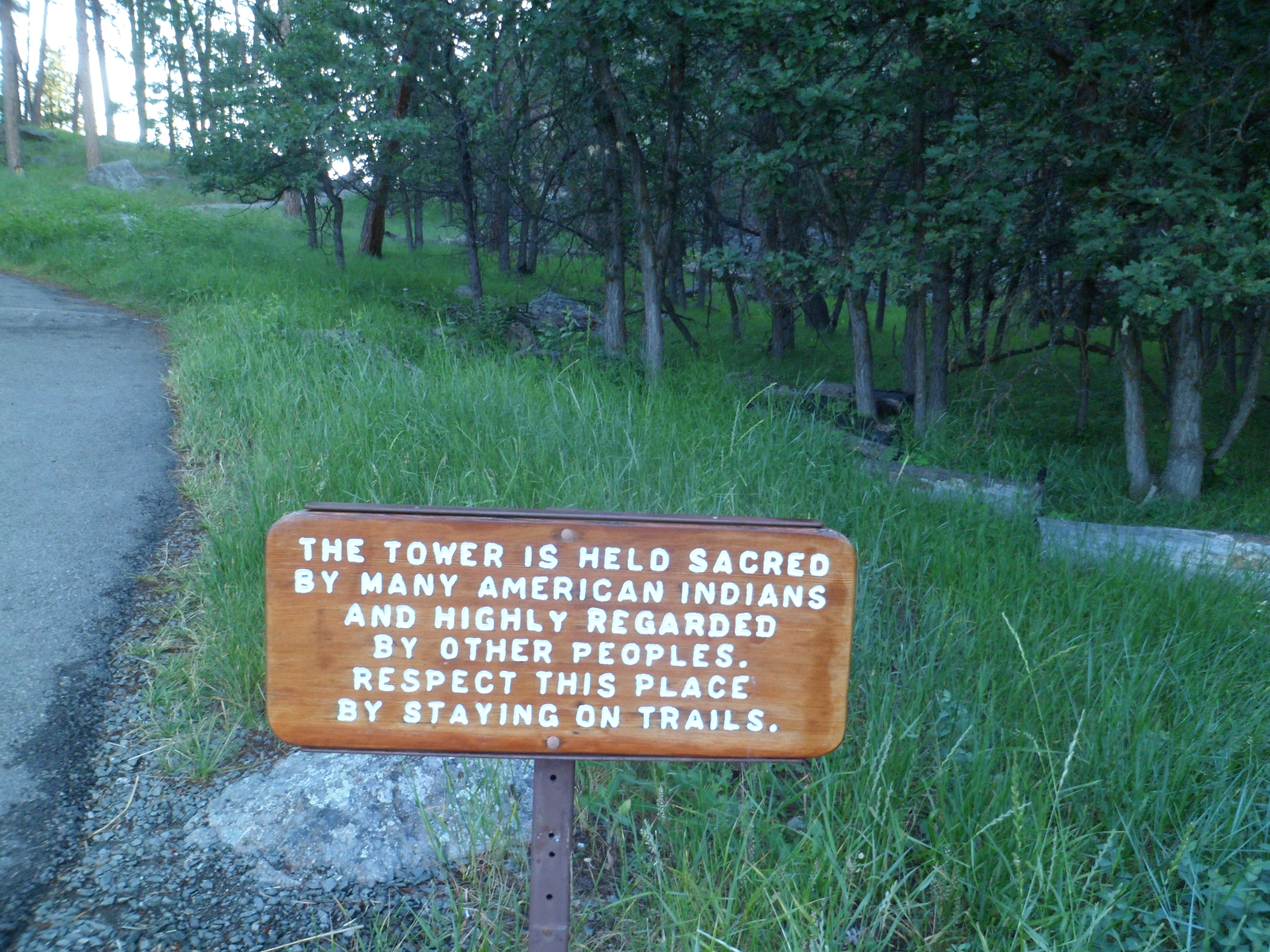
Many people regard this laccolith as a sacred place. Shoshone people associate it with a boy, who turned into a bear, thousands of years ago. It is held, in this legend, that the bear still lingers here, thus some call Devils Tower “Bear Lodge”. The mountains north and east of the Tower are called Bear Lodge Range.
Now, we see the Tower from a northeastern perspective. Note the rougher corrugation of the phonolite on this side.
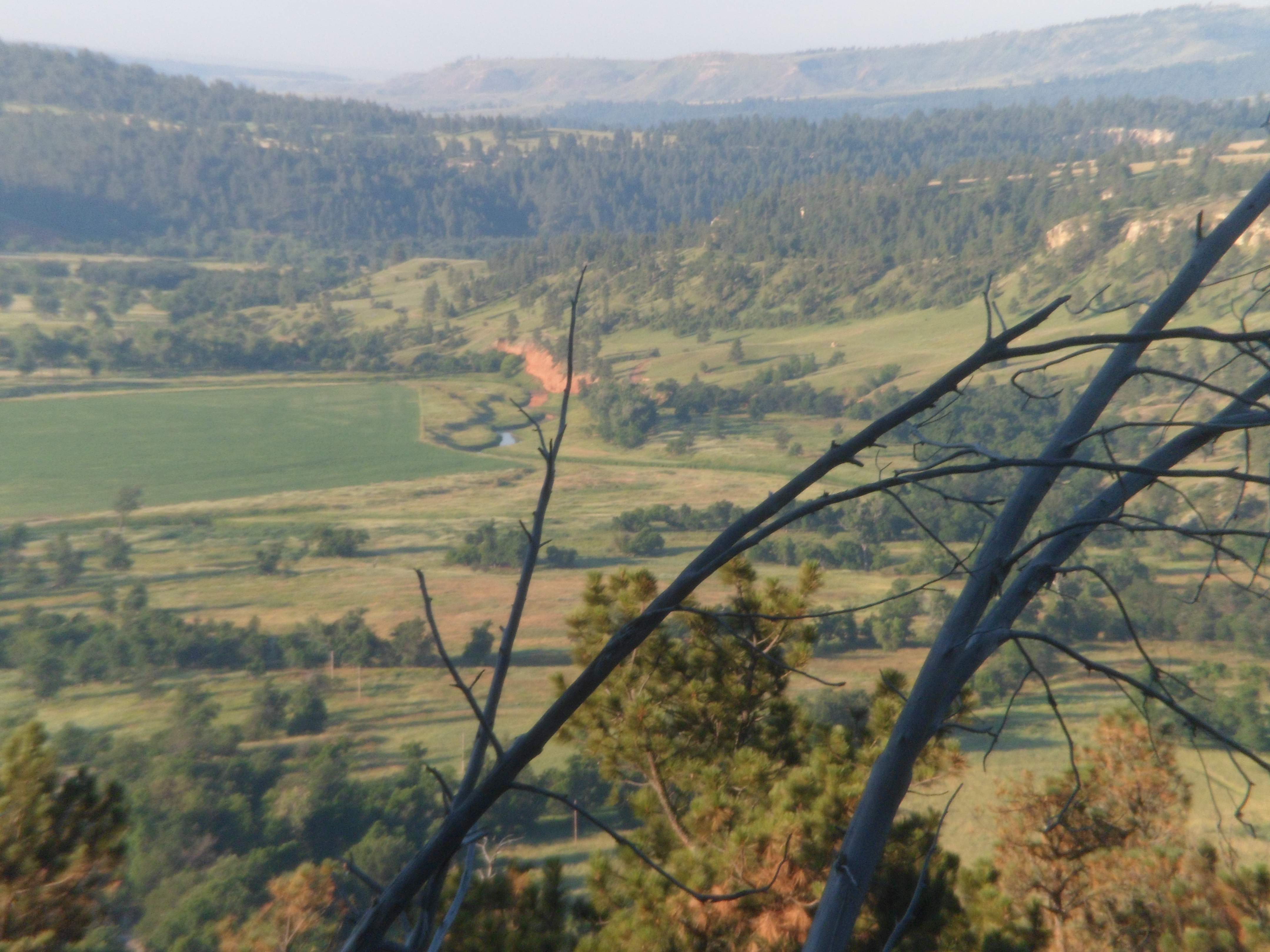
The north side brings us to a scene viewed from the top of Bear Lodge Mountain.
The phonolite is smoother on the west side of the Tower.
Here is a full-on view of the Tower, from atop a rock, due west of the laccolith.
When I rounded the corner, I found the southwest wall looking slightly like the Temple of Karnak, with stone”guards” jutting slightly from the slats.
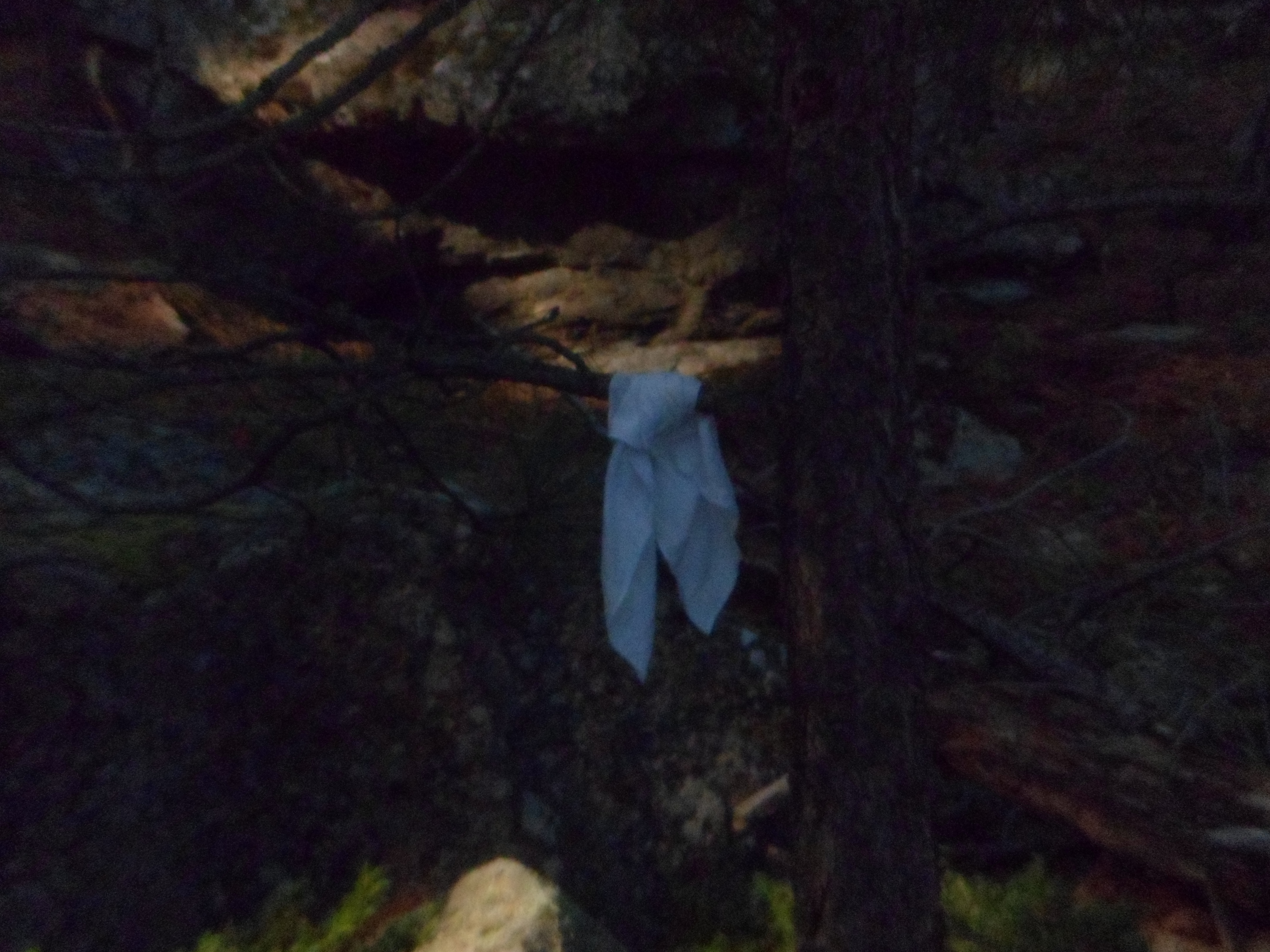
At each place that is regarded as sacred by indigenous people in the uplands of the Plains region, prayer flags are very common, as people come for Vision Quests and other devotional exercises. The Tower is no exception.
Once I completed the Circle Trail, I went back to the commercial area and spent some time posting. Then, it was time to greet my little friends.
I was advised by the volunteer at the KOA counter to take the northern route to the Black Hills , through Hulett, and to stop at Rogues Gallery. So, I took her advice, saying thank you and farewell to this Tower of the Spirits, from a northeasterly perspective. I felt a very strong resonance, leaving this magnificent site. It would give me great strength, in moving through the Black Hills.
This will be short on photos, mostly because it was largely raining that night, from Gillette to the Devils Tower park campground.
As I came down the mountain from Medicine Wheel, my heart was still very much in prayer. Aram called at about the halfway point of the descending drive, just shy of Dayton. It was a good 45-minute break from driving, and we covered all of what was up with him, and with me. It’s always worth the time, and we come away understanding one another’s positions. So, he knew how I felt about things, and people, and why. There’s nothing earth-shaking about it, but I think maintaining clear communication channels obviates messy interpersonal situations later on.
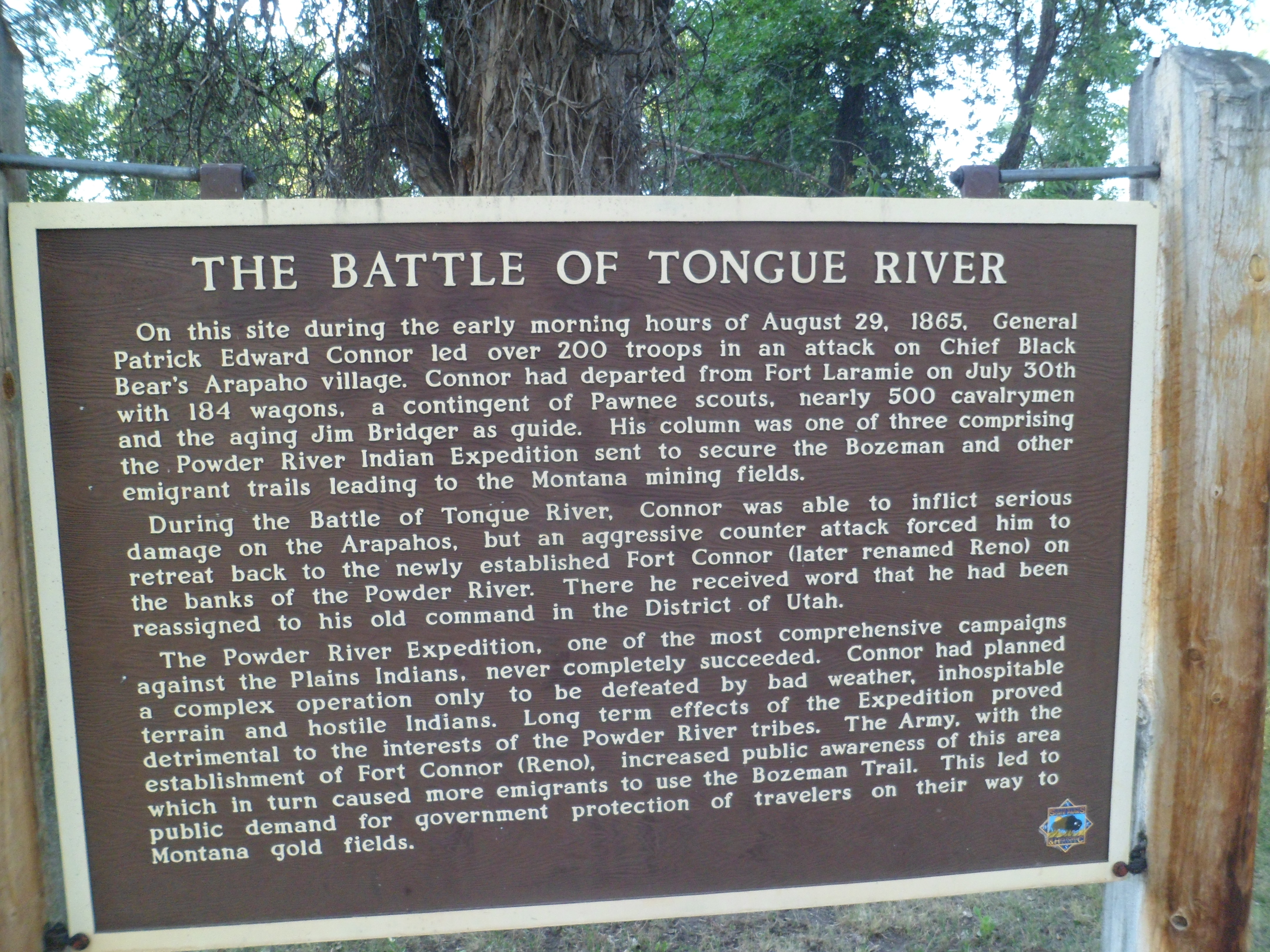
Dayton and Ranchester are lovely, now quiet farm towns. In the 1890’s, though, the area had its share of the conflict between the U.S. Cavalry and Plains Indians, being not that far from Little Big Horn.
The Battle of Tongue River took place in what is now Ranchester.
Indian Wars always leave me in a dumpy mood. The whole concept of owning the Earth is rather dicey, though I know we have to have some form of identity. Still, setting oneself apart from others, by means of ownership, kind of countermands the sense of responsibility that ownership implies. There are homes of friends, which I cannot visit, because one or more of the owners has/have serious trust issues. Fortunately, most of these are places I seldom visit, anyway.
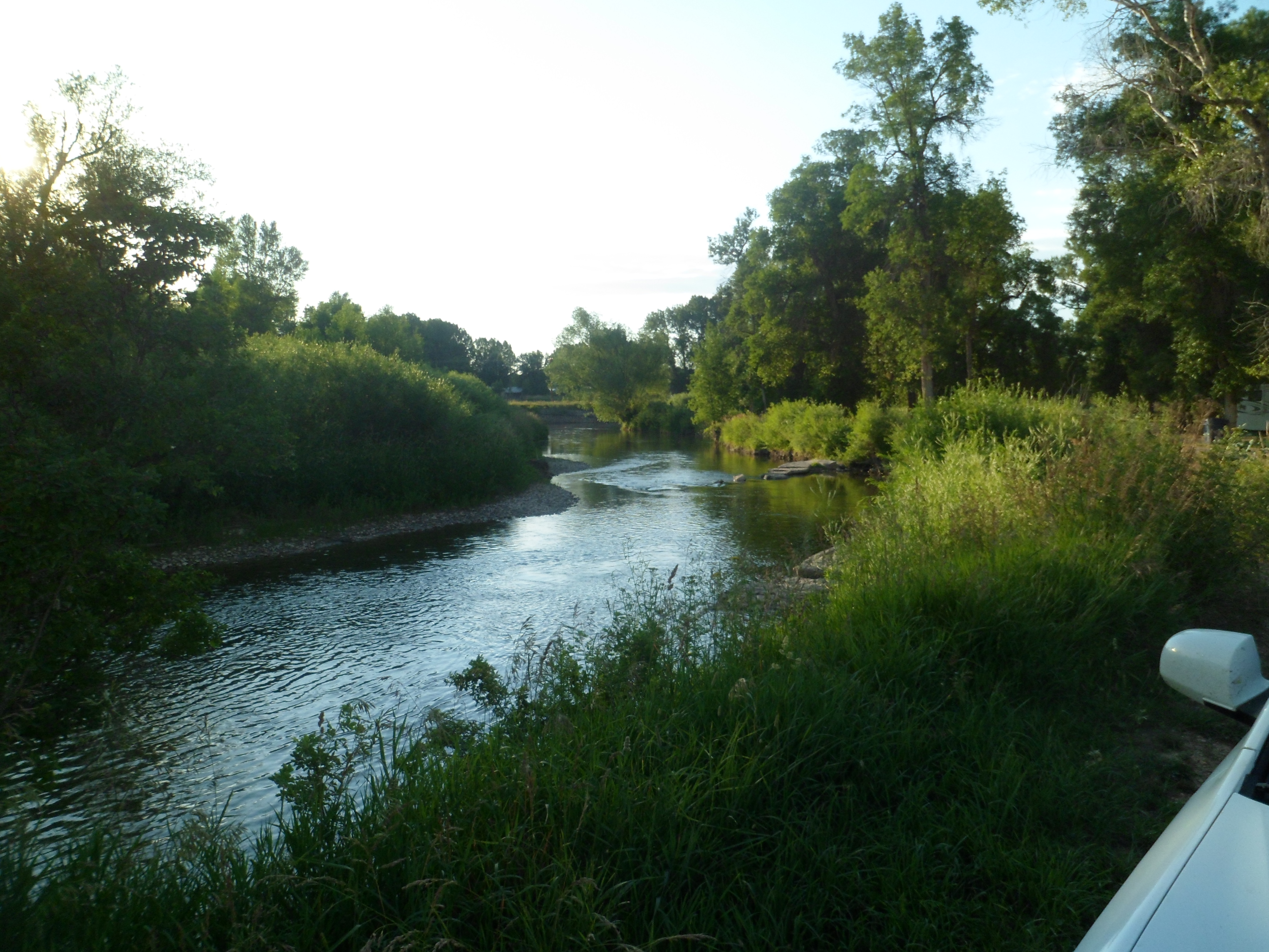
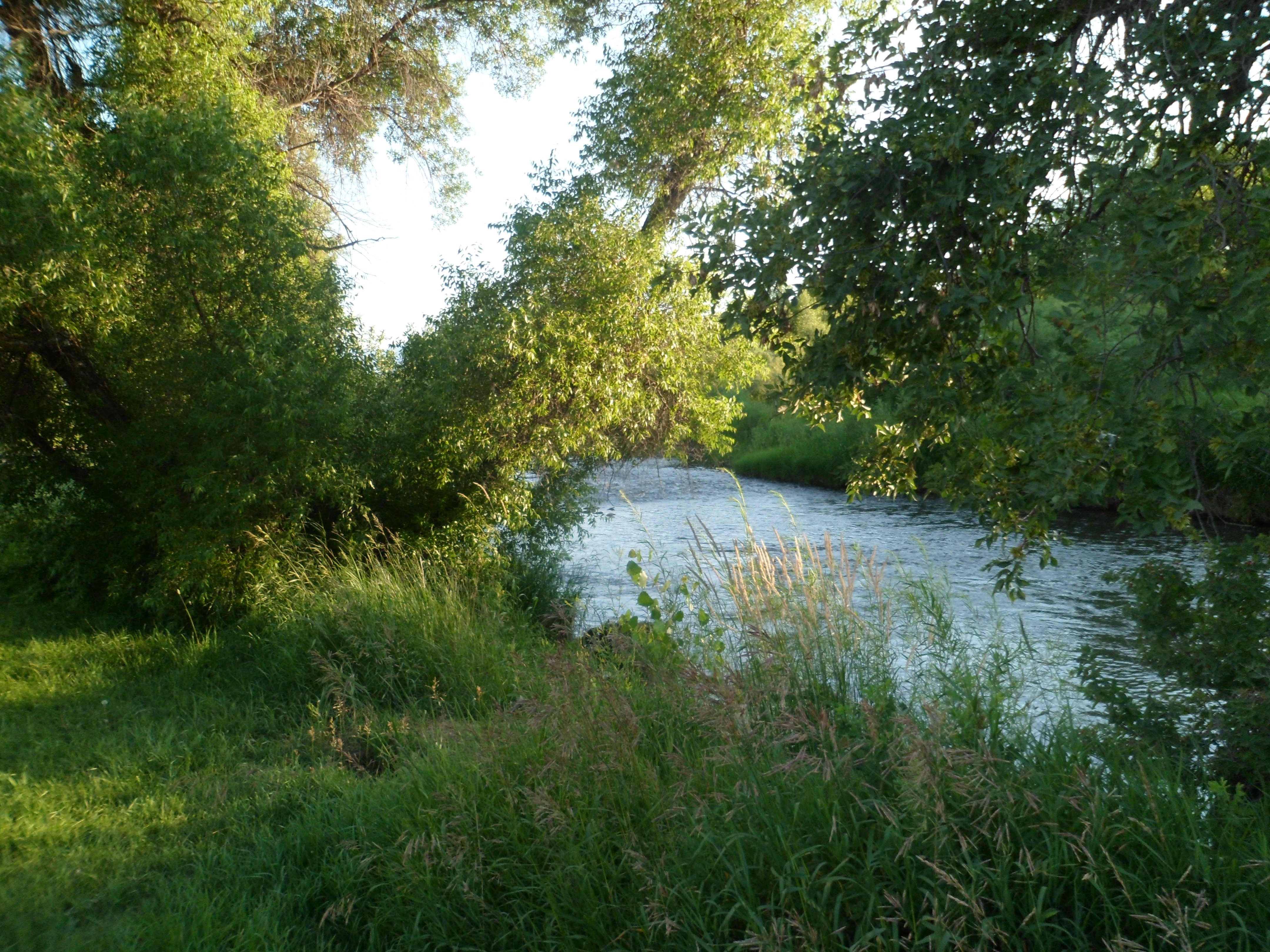
The Tongue River, and its commemorative park in Ranchester, provide relative peace and solace for about two dozen people, on any given night between May and October.
After eating a picnic supper here, I headed on through Sheridan, Buffalo, Gillette and Moorcroft, without stopping, It was raining, hard, all the way to Devils Tower National Monument. A friend had shown me photos of shimmering lights circumnabulating the Tower’s summit, while cautioning that these might be Photoshopped. Still, I had hope for the magic to break out of the clouds, and elected to sleep under the stars, when I awoke in my car, at 1:30 A.M., and saw a beautiful, clear sky. Rolling out my tarp, mattress pad and sleeping bag, I reveled in the silhouette of the Tower, set under the shining canopy. Sleep came easy, until 5:45, when it was time to hustle over to the Tower Trail.
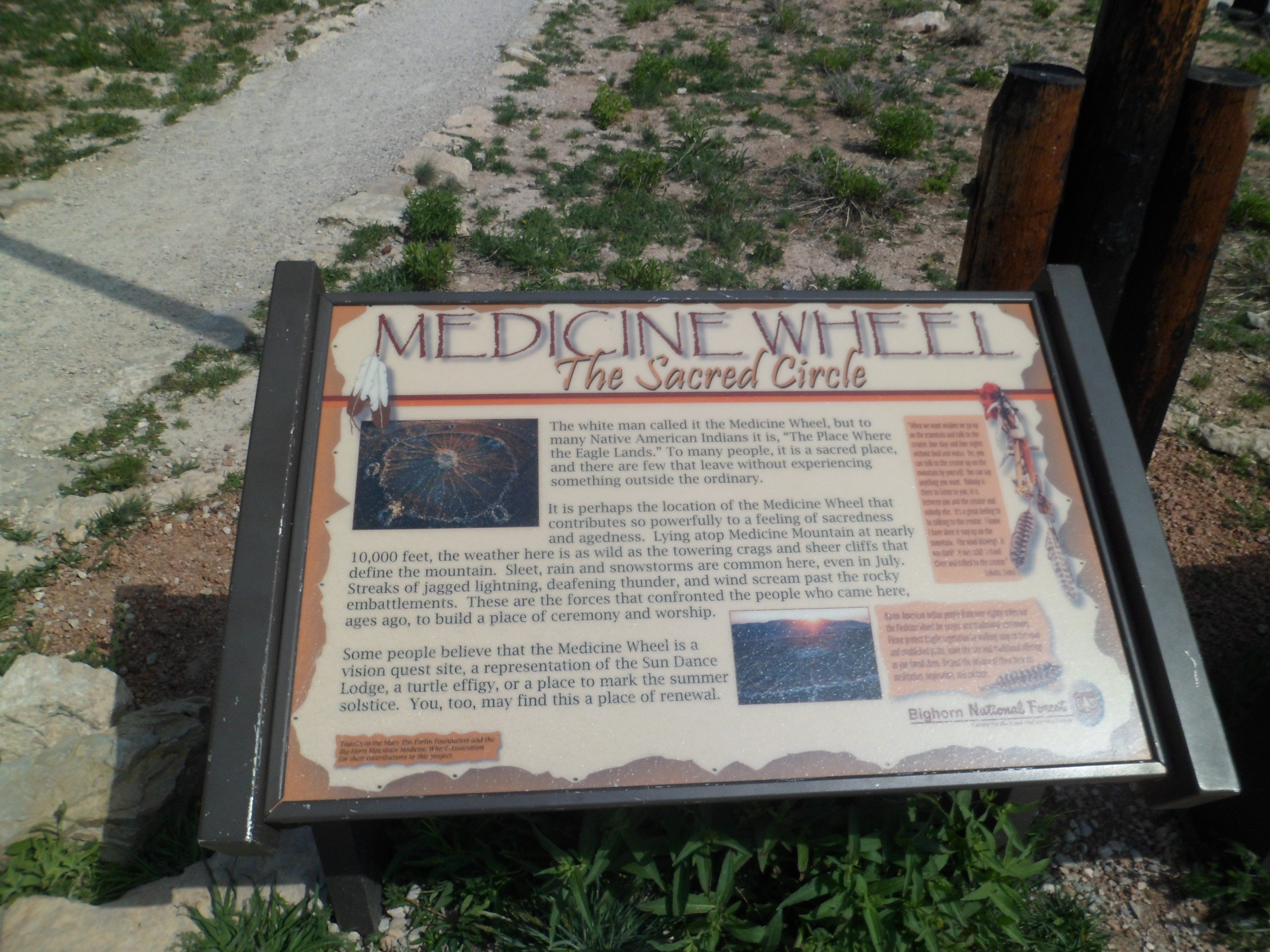
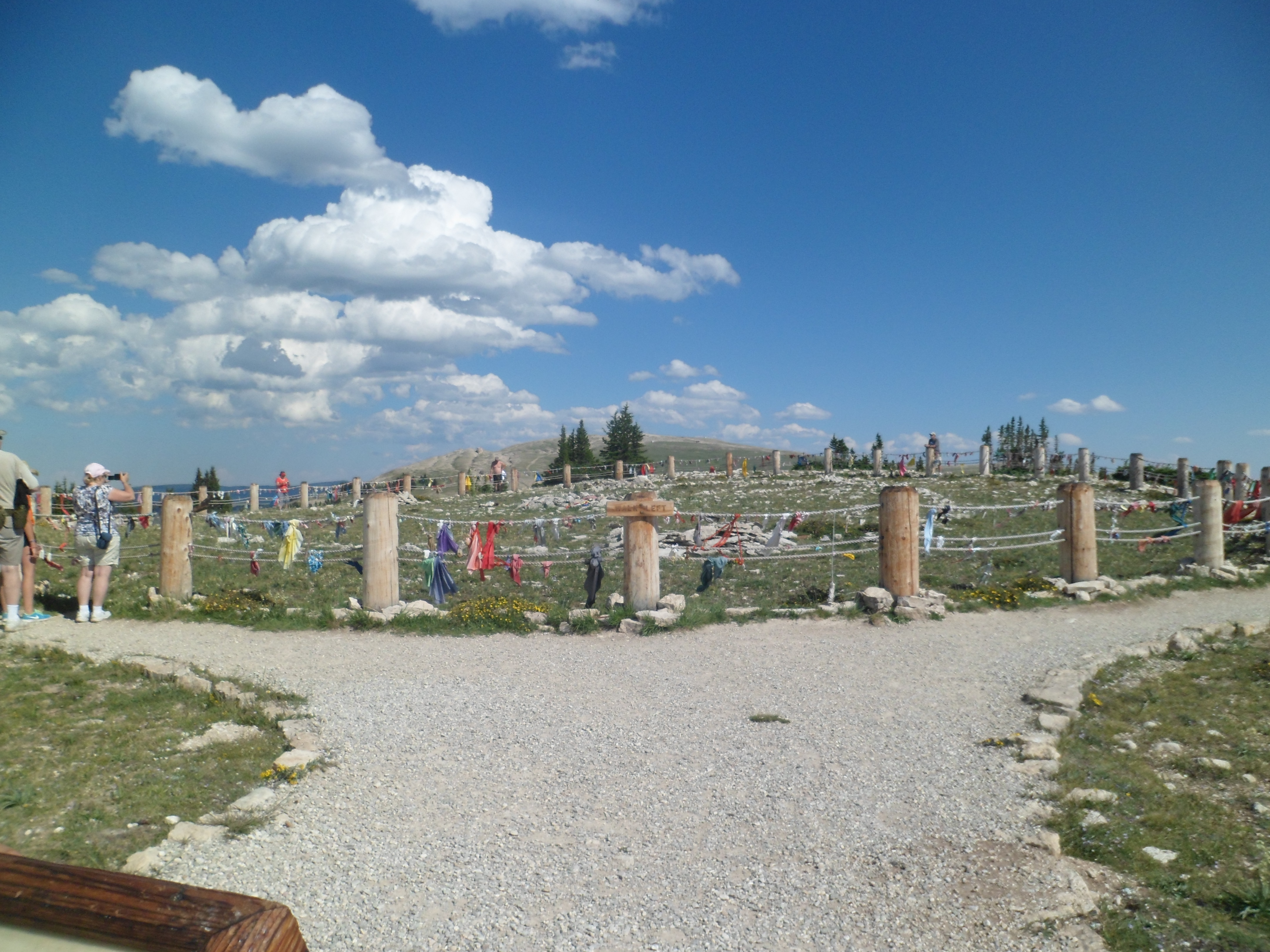
I was advised to visit this Medicine Wheel, by my waiter at Elk View Lodge, once he learned that I was on a spiritual quest, of sorts. This is ancient structure, first built, apparently, to keep track of the movements and positions of stars such as Aldebaran, Sirius, Rigel and Fomelhaut, particularly with regard to the solstices. The Crow people, and other indigenous nations, send their youth here, as part of the vision quest process.
The U.S. Forest Service maintains the site, as a National Historical Landmark. I was honoured to hike it, and found it to be the westernmost point in what was to prove the heartland of my journey: The Bighorn-Bearlodge-Black Hills crescent. The Medicine Wheel is located about 15 miles east of the Bighorn River, and some 26 miles east of Lovell, WY.
Here are some scenes from my hike up to the Wheel, and of the structure itself. Please don’t be disappointed, but out of respect to the sacred nature of the adornments being placed on the Wheel, as well as that of the Wheel itself, I have one lone photograph of this magnificent structure.
First, here are some views from the trail up Medicine Mountain.
The Forest Service has placed informational signs and benches, at key points along the route.
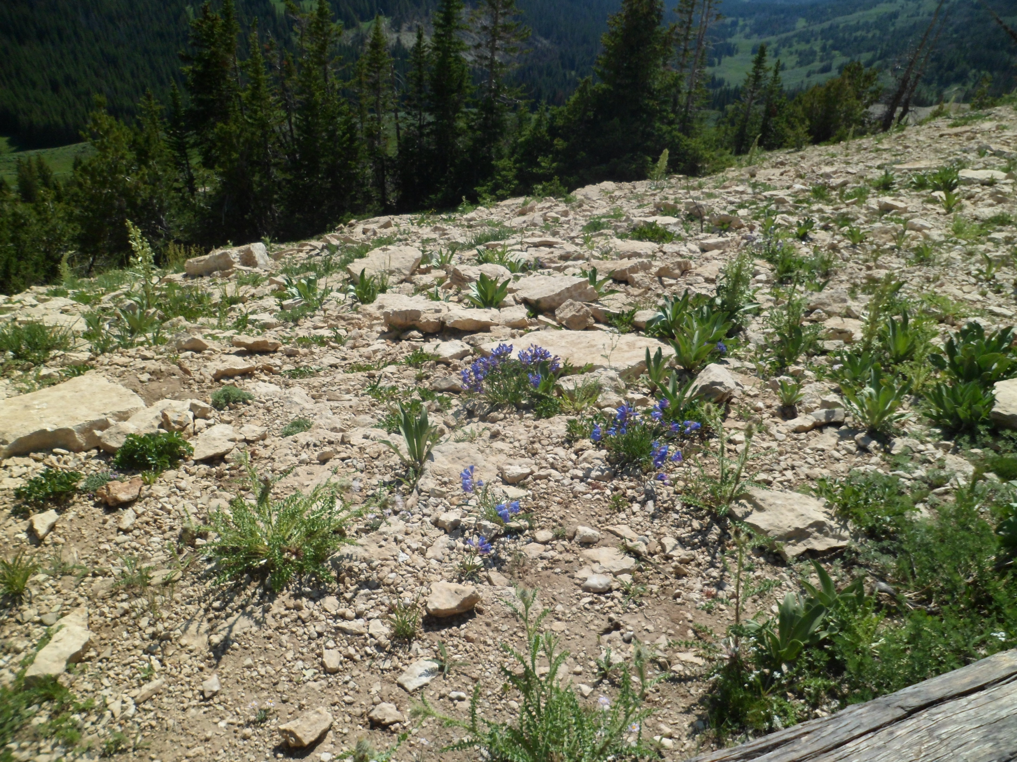
The limestone surface is unusual for this part of Wyoming.
The route was perfect exercise for me, after a heavy meal at Elk View.
Nearing the summit, I began to pray privately.
At the Wheel itself, I stood to the side, away from other visitors, and continued prayers for healing and protection of a few blessed souls, and for mankind as a whole.
The Medicine Wheel smiles on a wide swath of magnificent Wyoming, and on into Montana.
Next: The Road to Devils/Spirit Tower (aka Bear Lodge)
The whole inappropriate comment thing was stuck in my mind, all day, July 19. I was soothed a great deal, though, by the beauty of Shell Falls, and the delightful meal at Elk View Inn, which is all by its onesies, about halfway between Powell and Sheridan, in north central Wyoming. I also got to check the Web, and take my medicine. As I’ve said elsewhere, the worst thing I can do to someone, in my own head and heart, is to hurt their feelings. I had thirty years of sensitivity training, and it’s second nature now. I still feel terrible about this, my friend.
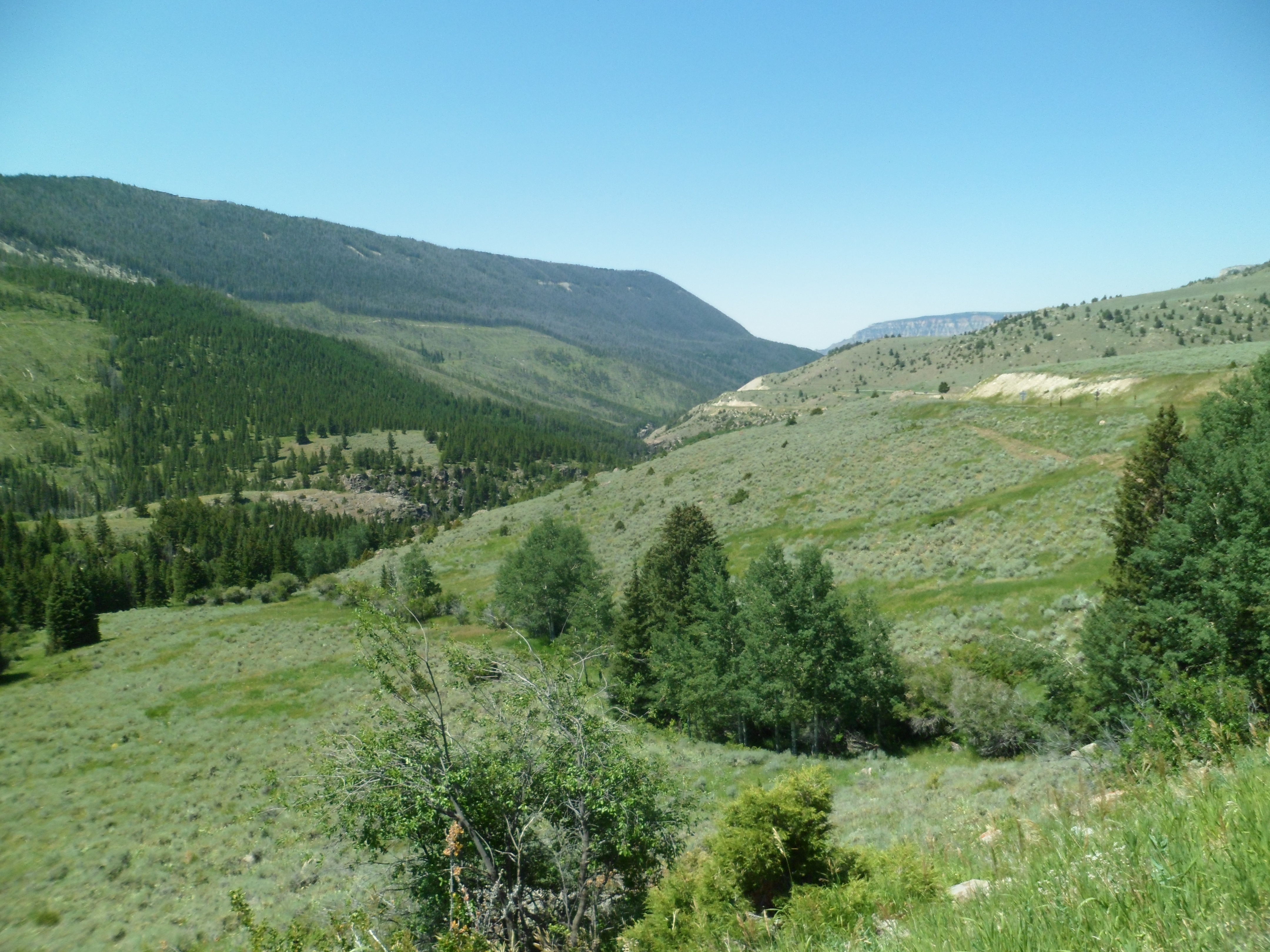
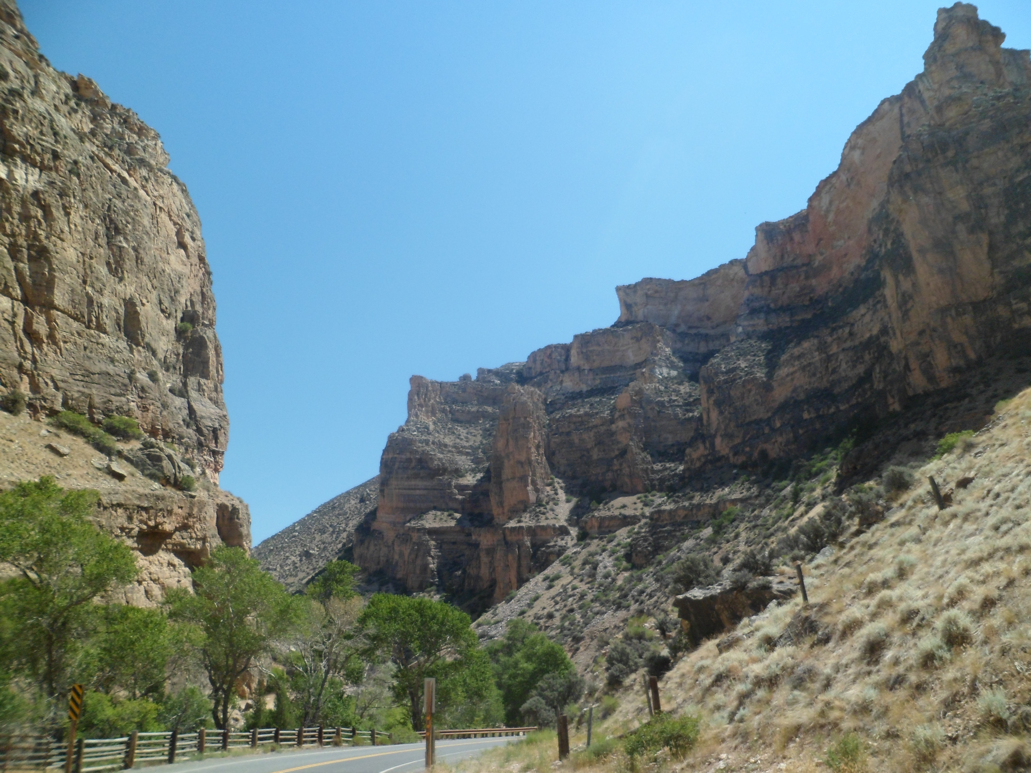
Elk View Inn, though, tried its best to help me feel great again, and it got me through the day. So did some fine scenery, from the top of Shell Canyon (below), to the foot of Medicine Wheel Mountain.
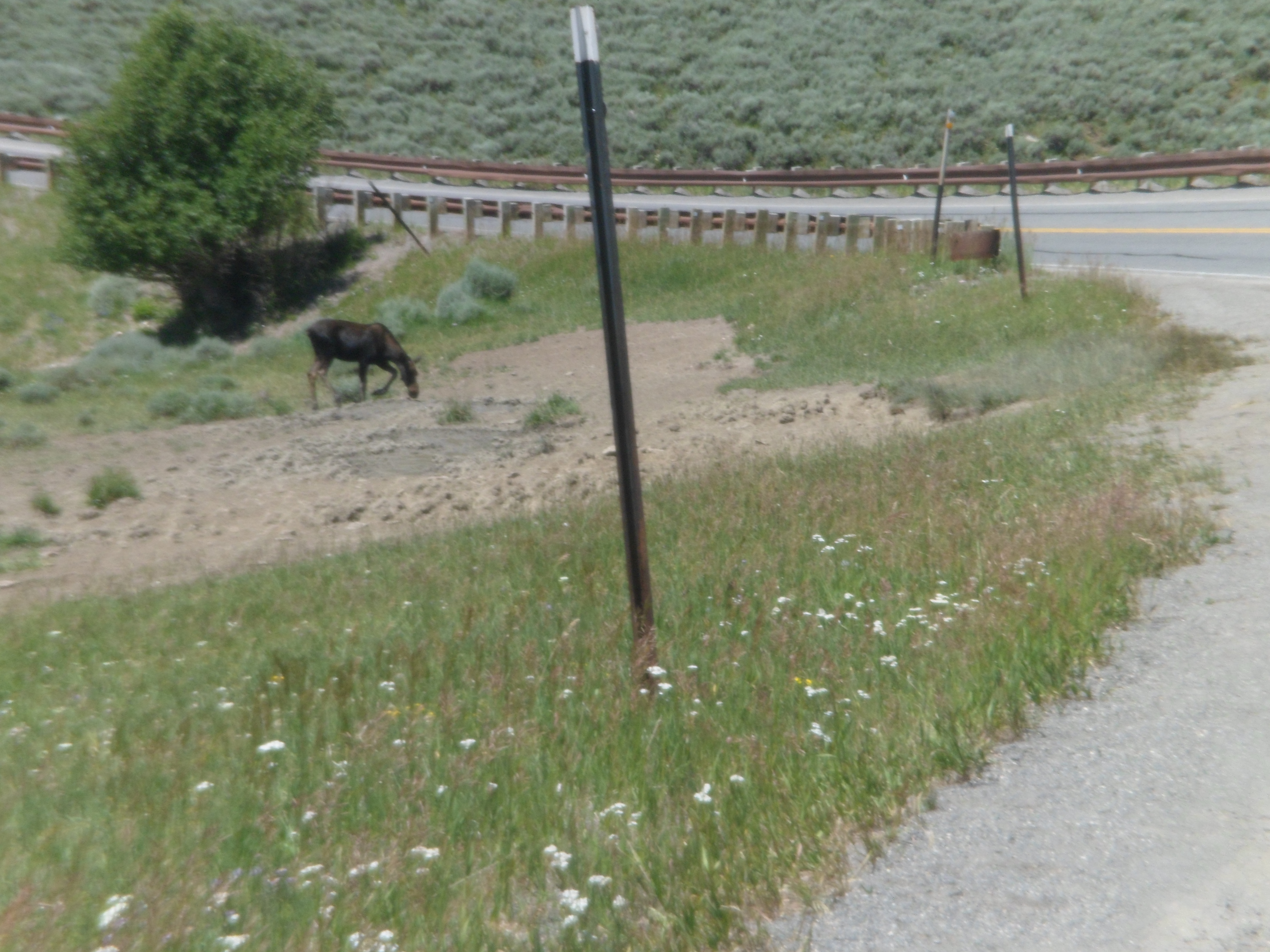
Rounding the corner, at the top of the canyon, I encountered a juvenile moose, enjoying a meal.
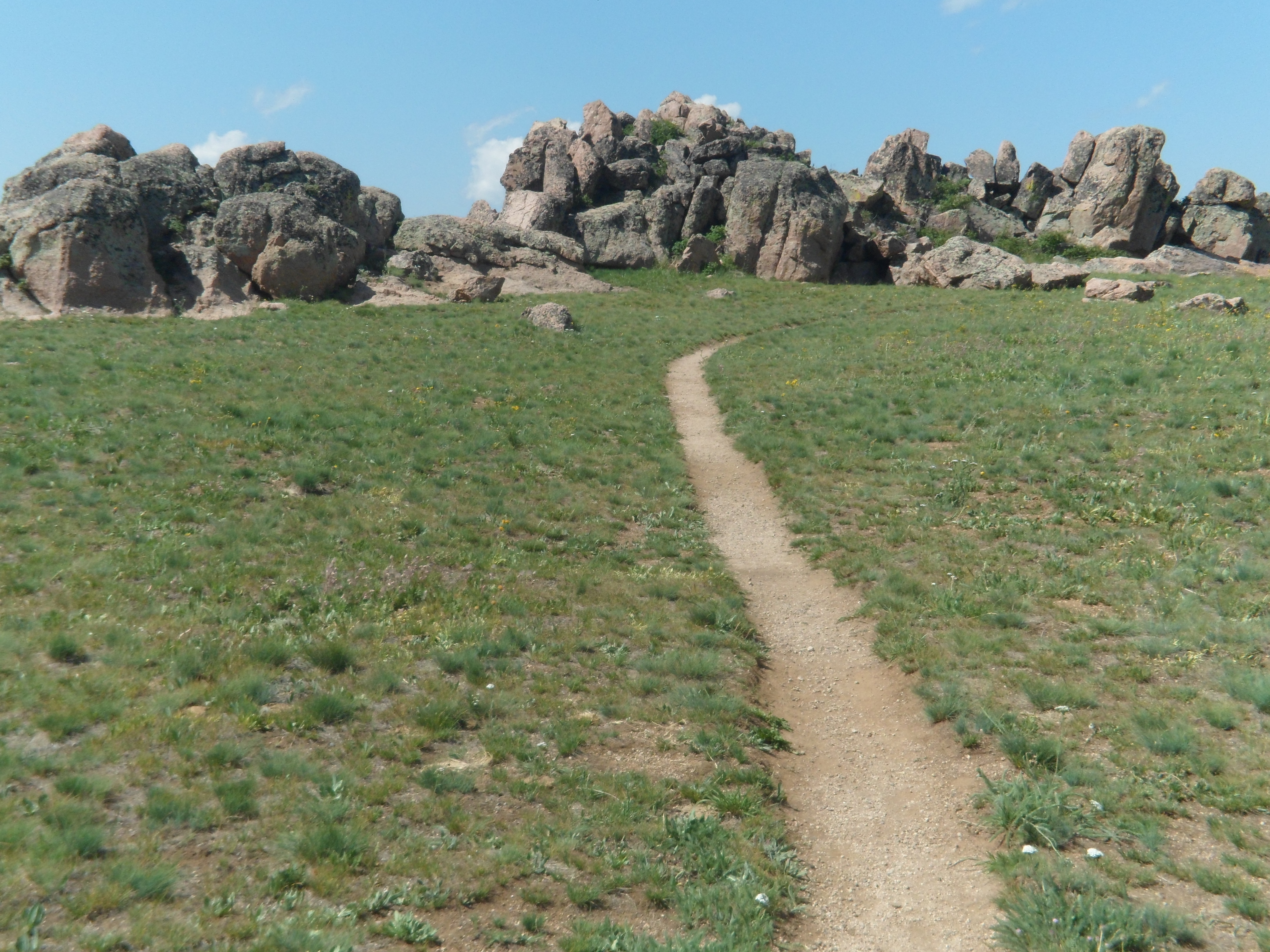
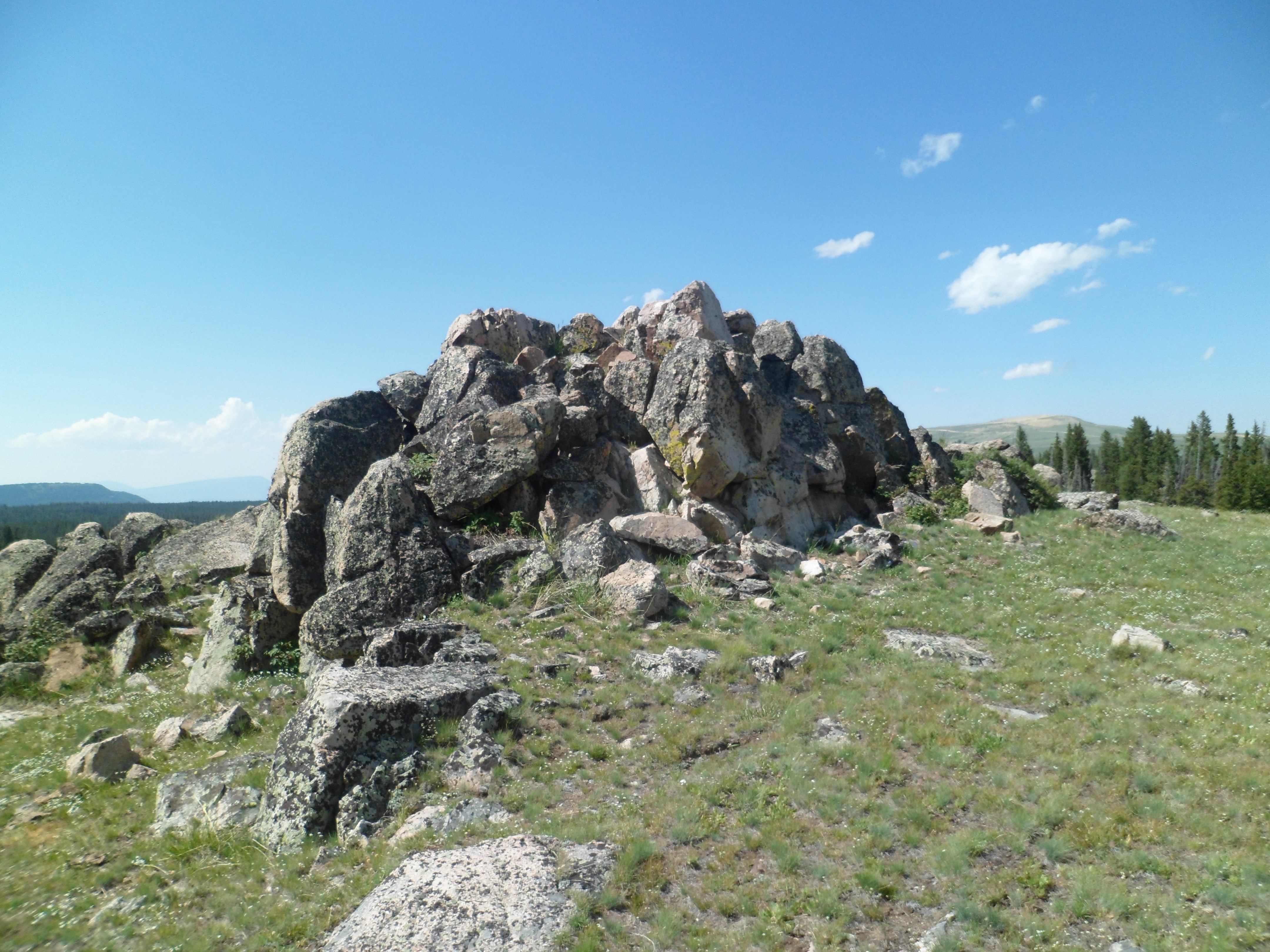
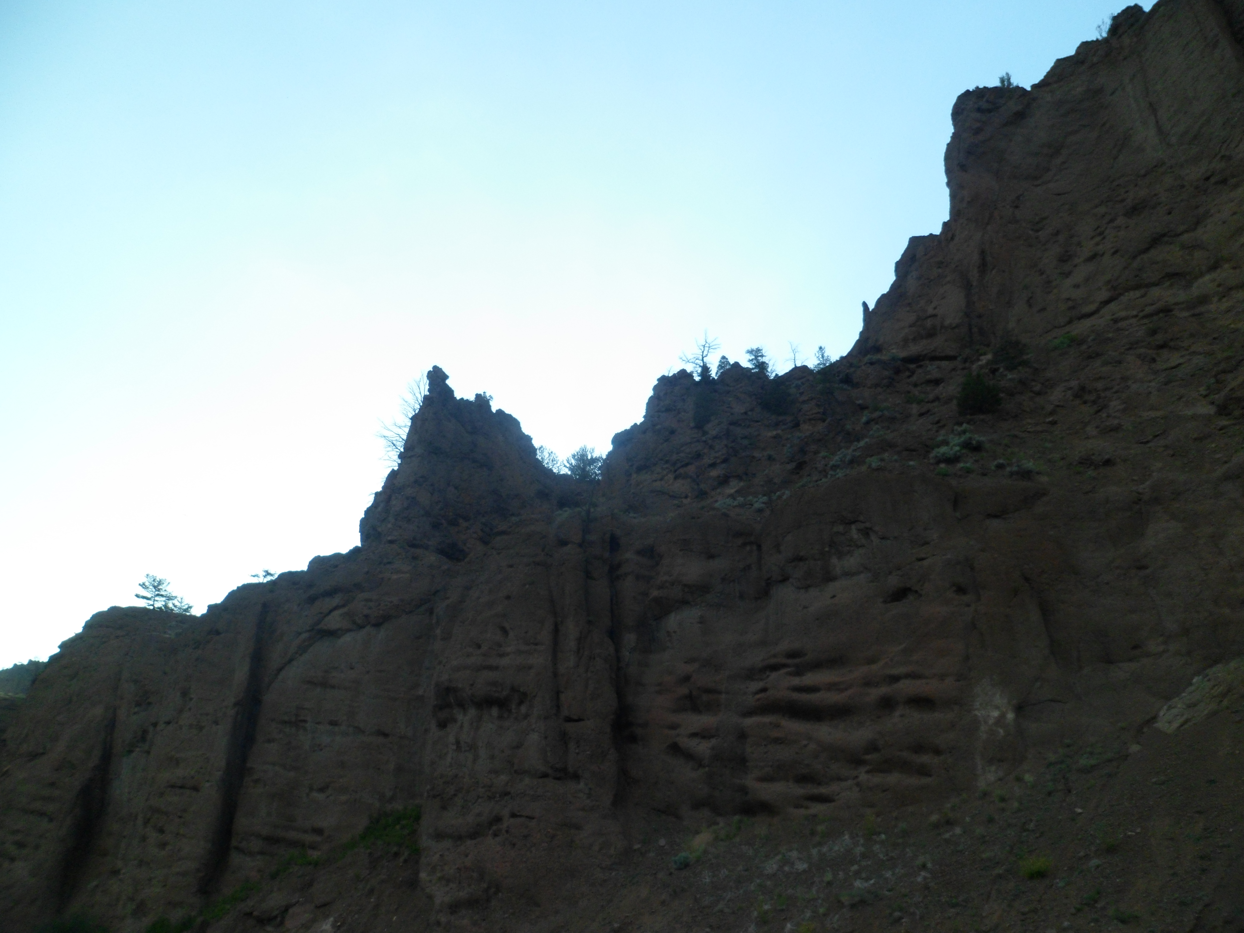
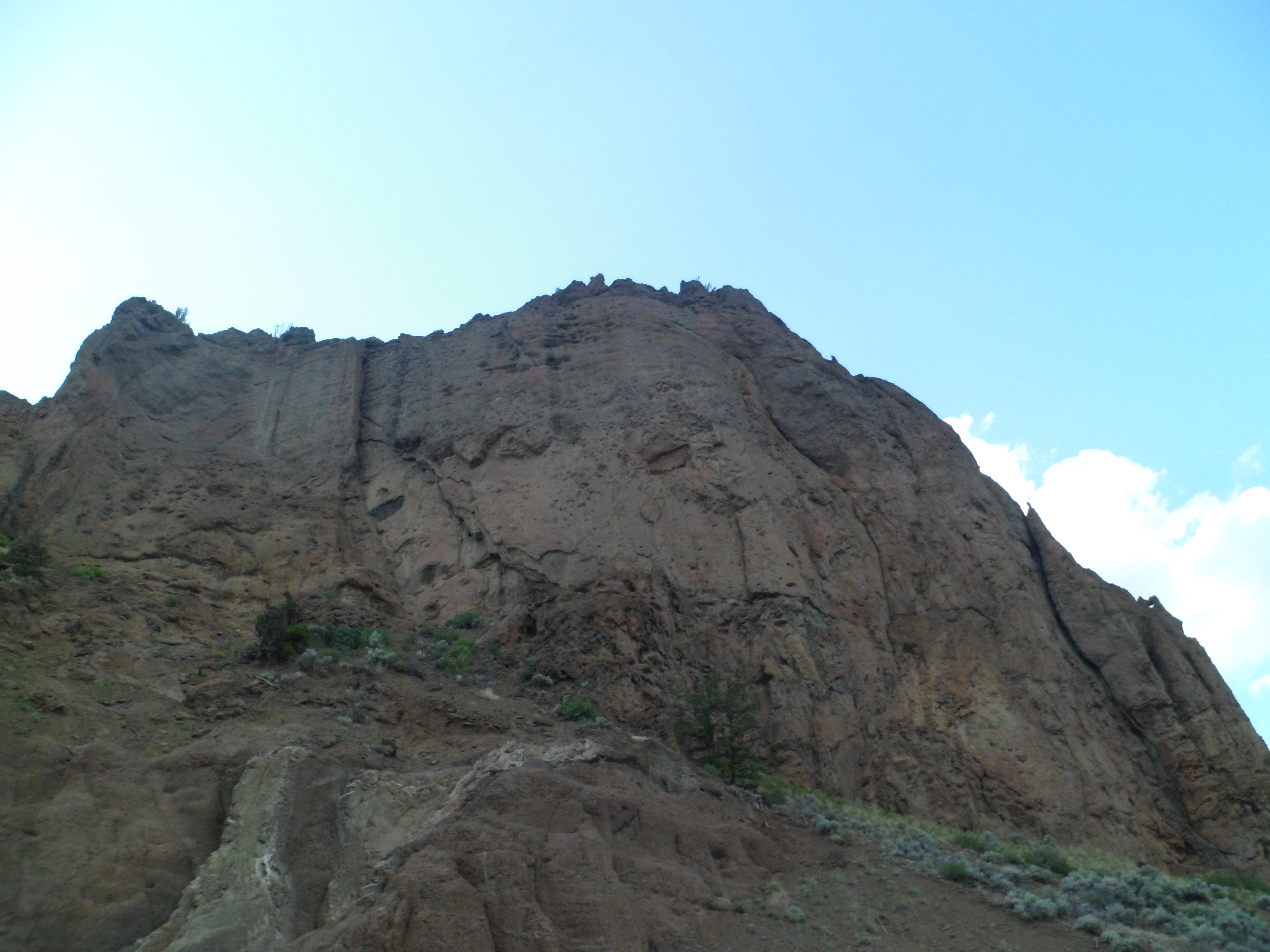
After lunch, I found my footing, in the foothills of the Bighorn Range, about three miles east of Medicine Wheel. Some volcanic outcroppings graced the scene.
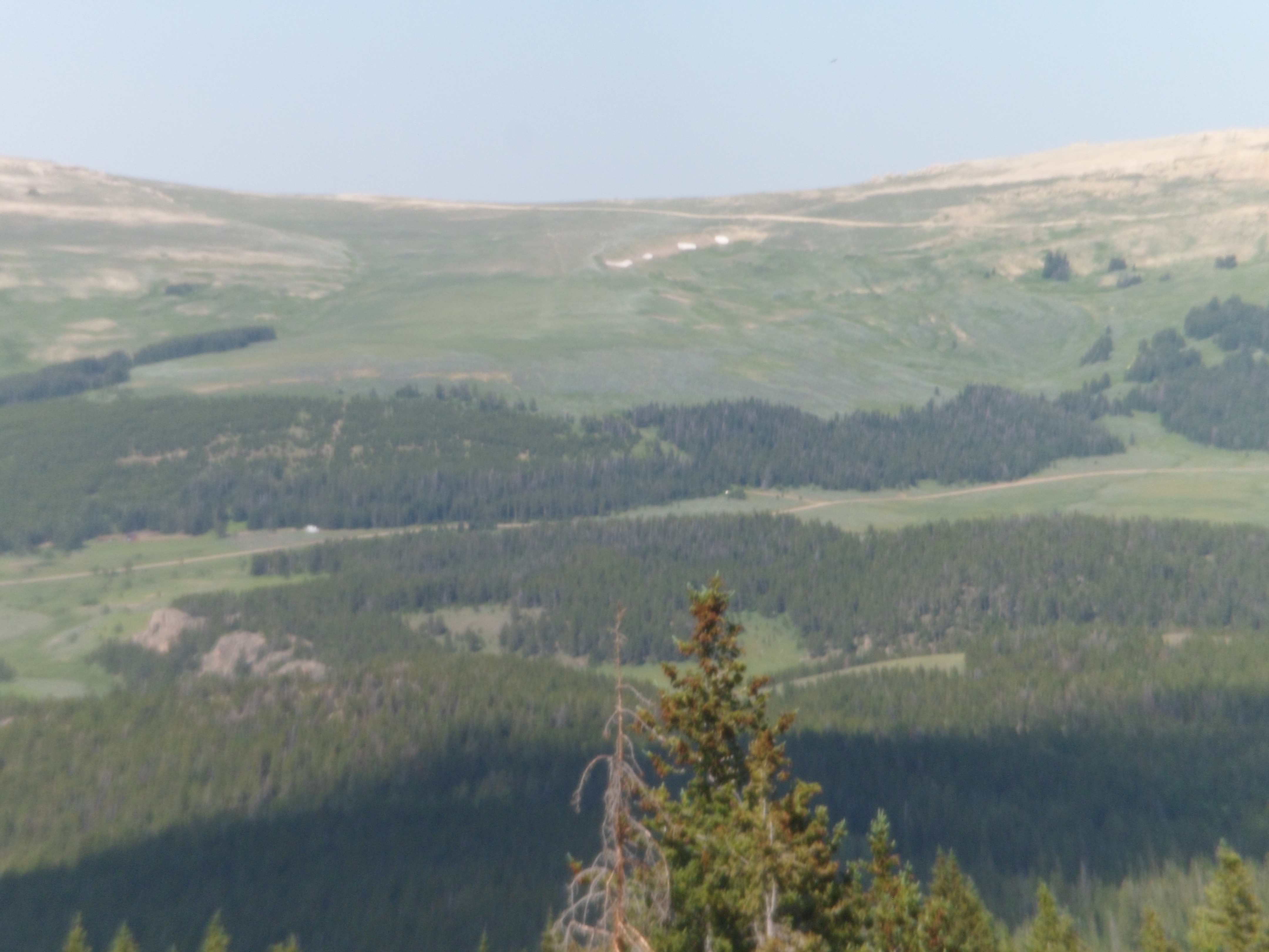
Medicine Wheel Mountain is visible, from these outcroppings.
Columbine are prolific in the foothills of the Bighorns.
The base of Medicine Wheel Mountain, though, is largely high desert scrub.
I was, however, psyched to drive to the Forest Service parking lot, and go to Medicine Wheel, for several minutes of prayer and homage. God knows, I needed it, and needed to offer it.
July 19 was a roller coaster of a day. After the desolation of the fossil beds, Shell Canyon appeared, to take me up to the plateau where I would take a licking, and decide to go on ticking.
Shell Canyon has its share of fossils, whose beds are marked along the way. It rivals several of Arizona’s and Utah’s canyons, in elevation gain and in the intimacy of its scenic pullouts. There are several more scenes of this area, than what I usually post. Shell Canyon is just that awesome, underrated as it is.
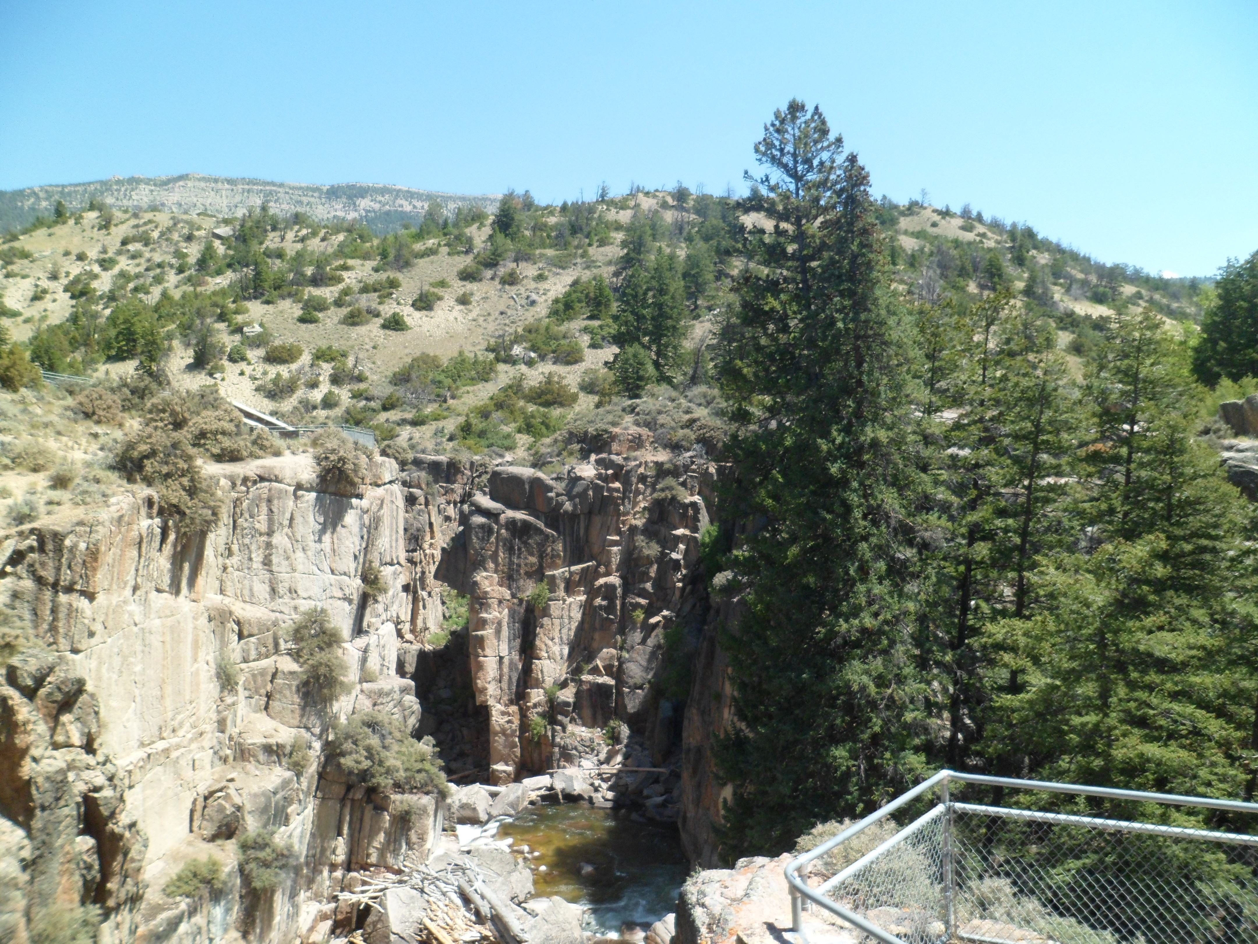
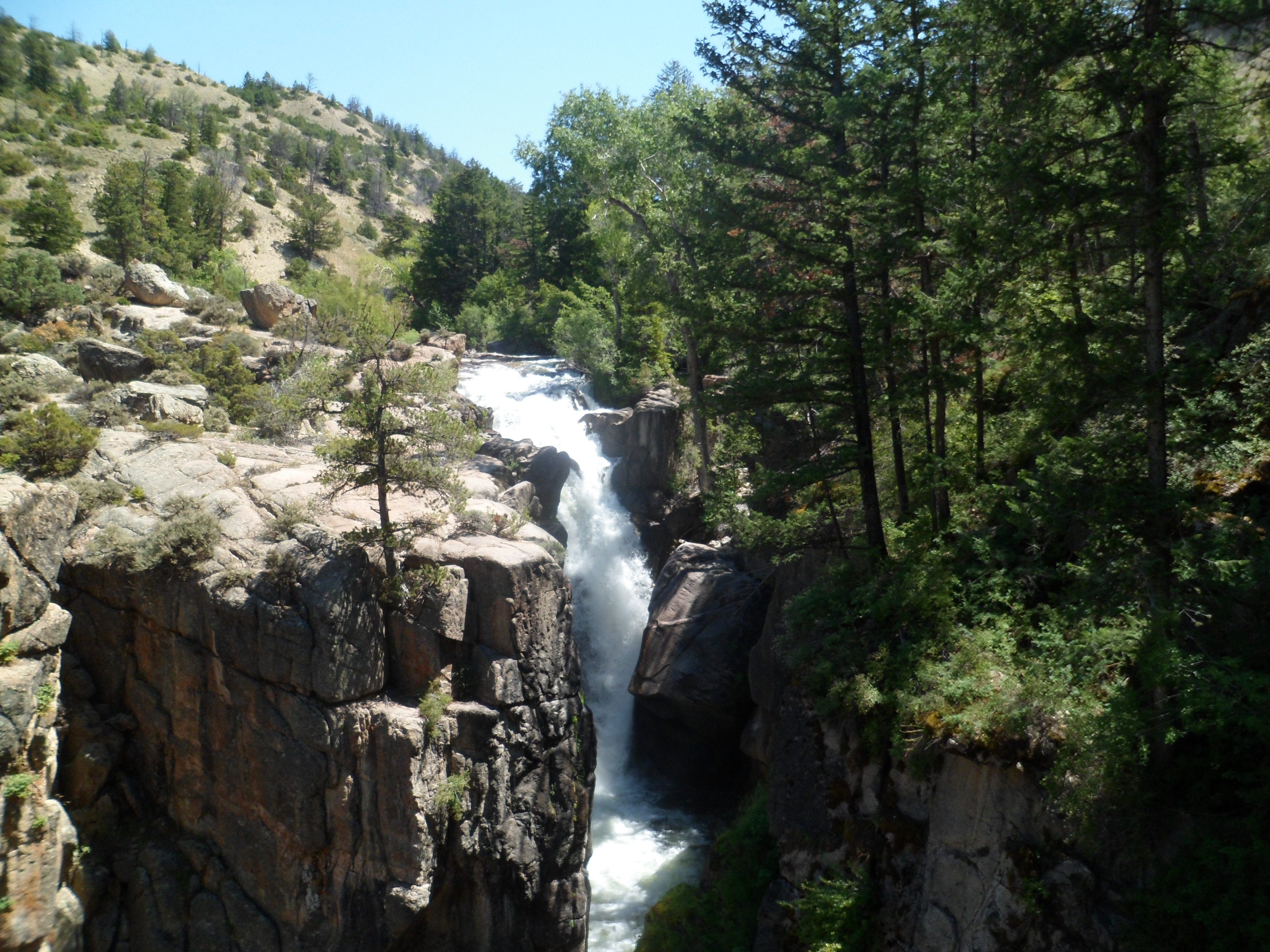
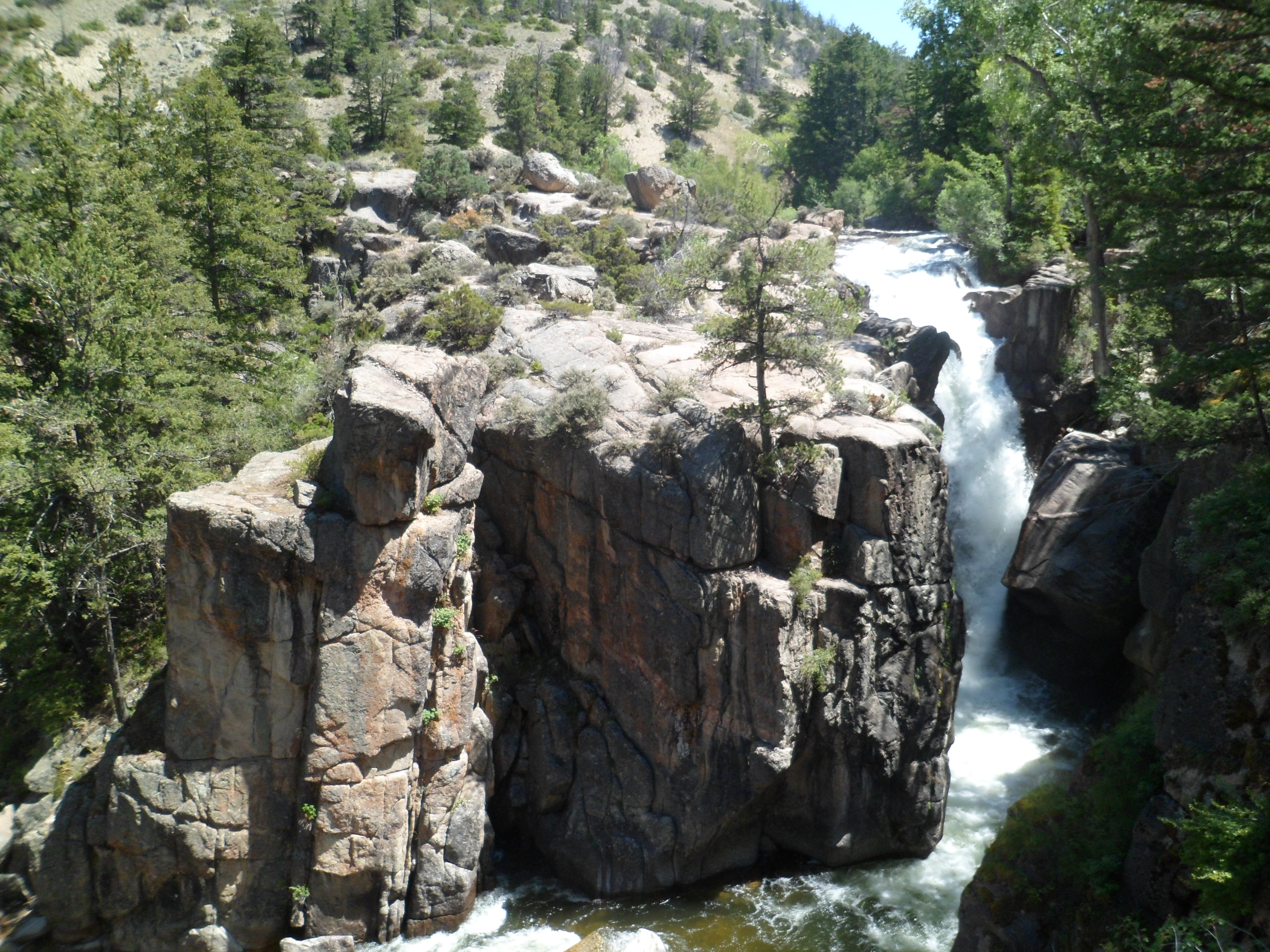
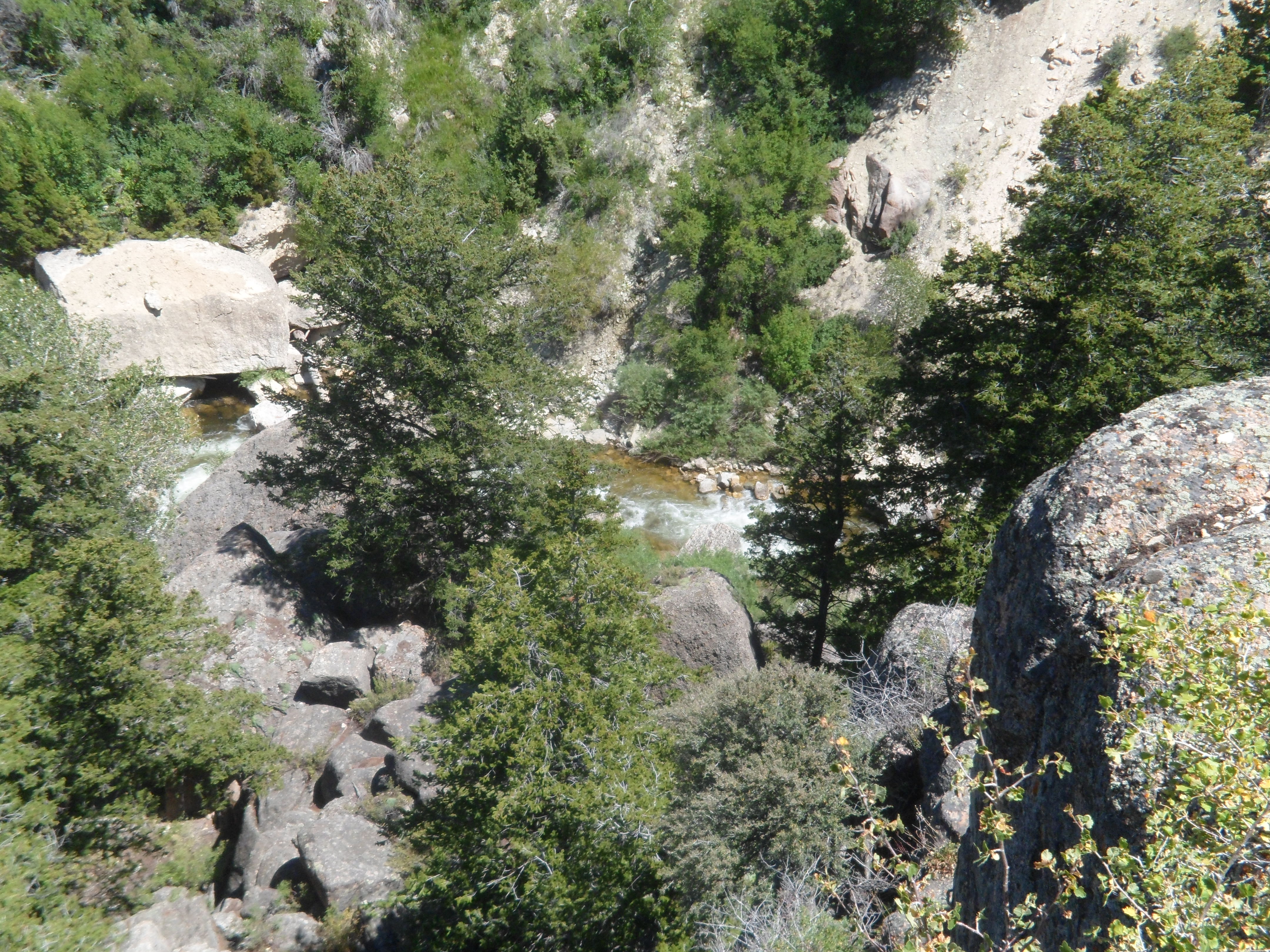
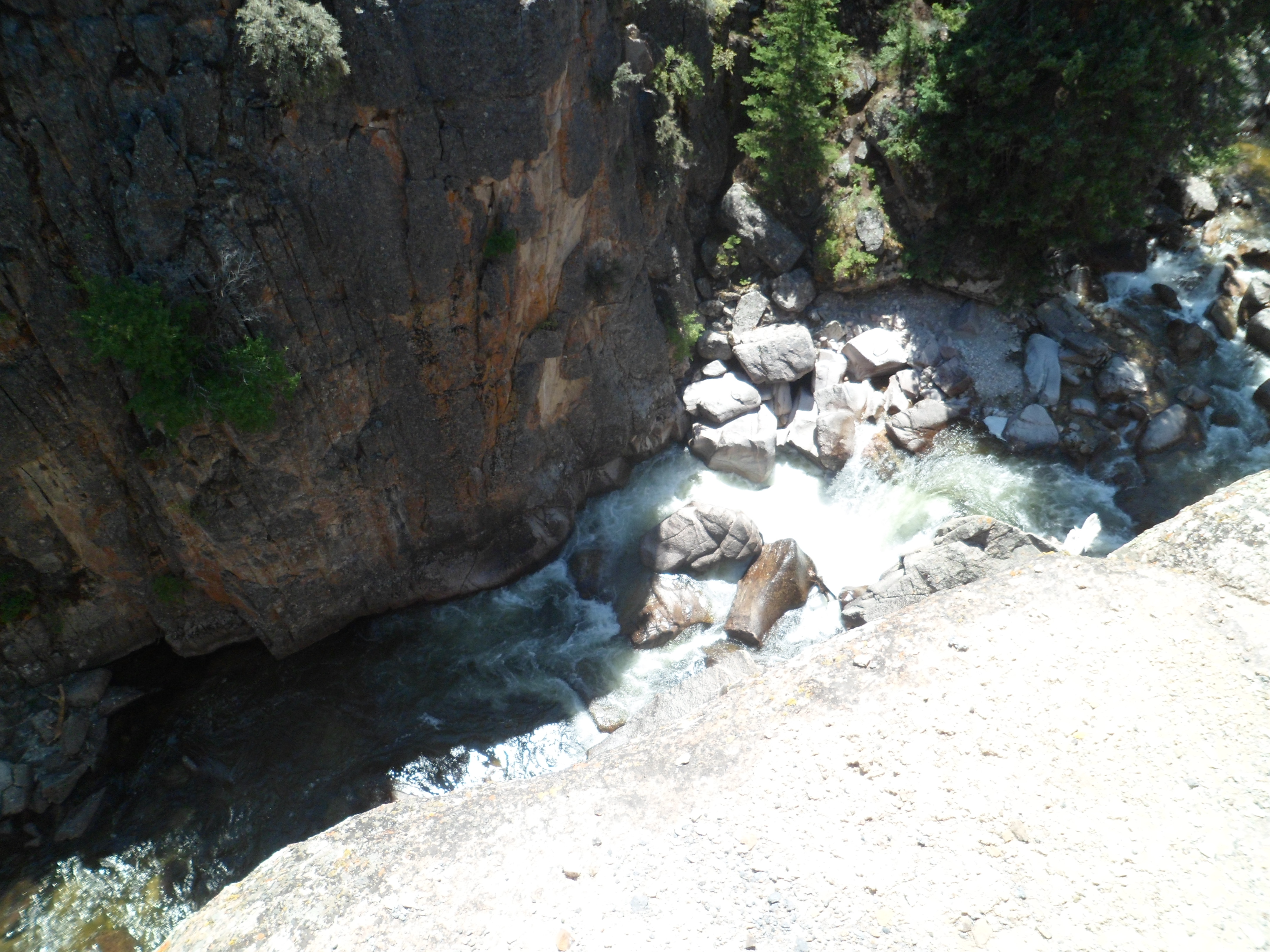
Two-thirds of the way up, I found the centerpiece of the preserve: Shell Falls. Here are scenes from the eastern side and middle of the falls view trail.
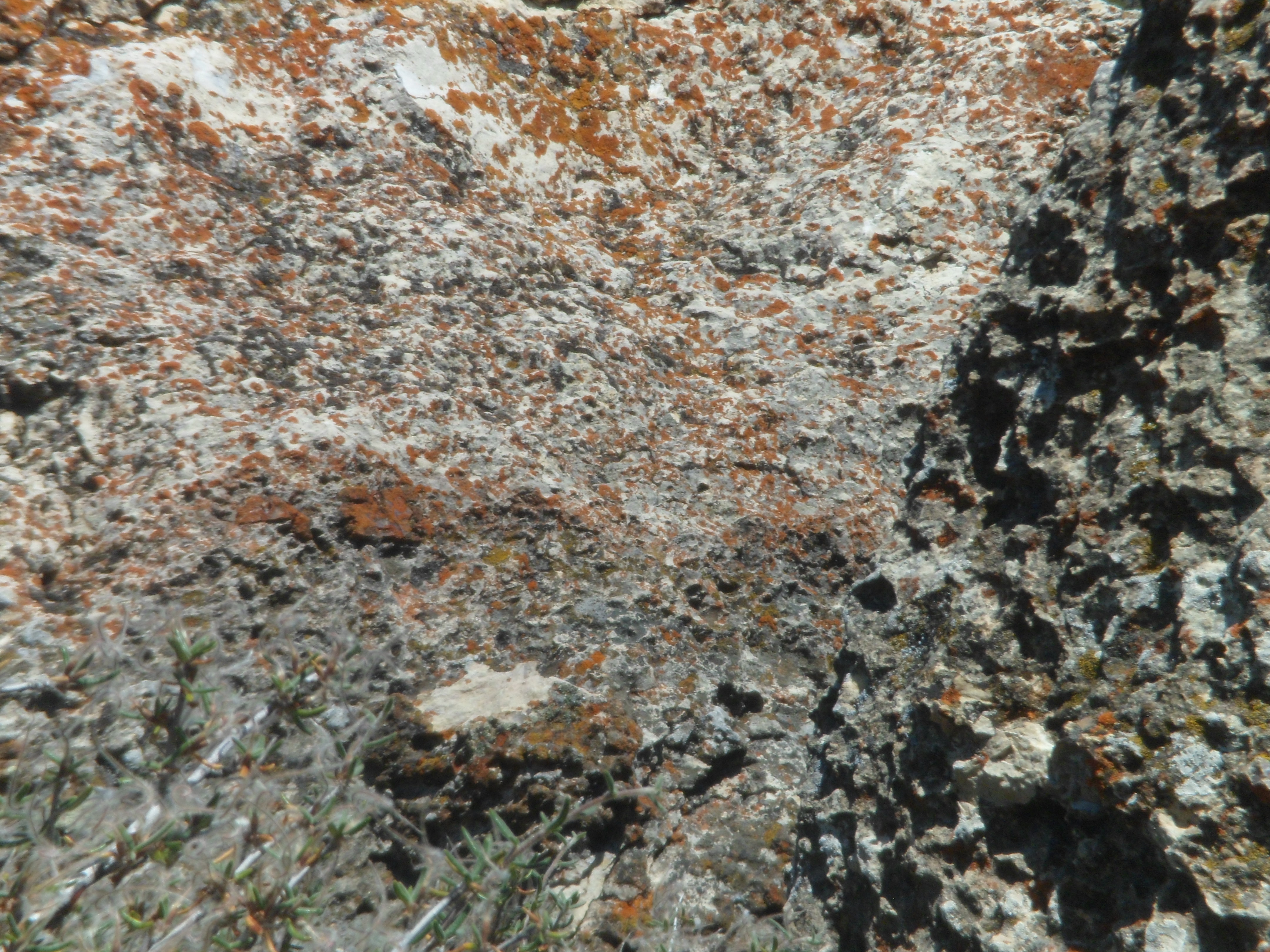
The water leaves iron-tinged lichen, when it recedes.
Now, back to the main attraction. These views are from the western side of the trail.
Shell Falls has a lovely interpretive center, which features information about the various fossil finds, as well.
This forty-minute stop gave me peace of mind, to face the music which I knew I had to hear, and would, at Elk View Inn.
I woke up in Greybull, Wyoming, on the morning of July 19. Somehow, I knew that I had gotten myself into a passel of thorns, again, and had no one else to blame. The town of Greybull had no Internet service, due to a phone company issue. So, I did my laundry, while watching a cheesy Charles Bronson film. A thug caught Charles lurking in his apartment’s kitchen.
Thug: “What are you doin’ here?”
Charles: “I’m makin’ a sandwich.”
Tussle ensues, and Charles throws the thug through a plate glass window.
Laundry’s done, as the thug’s girlfriend screams, over the body of her dead tormentor.
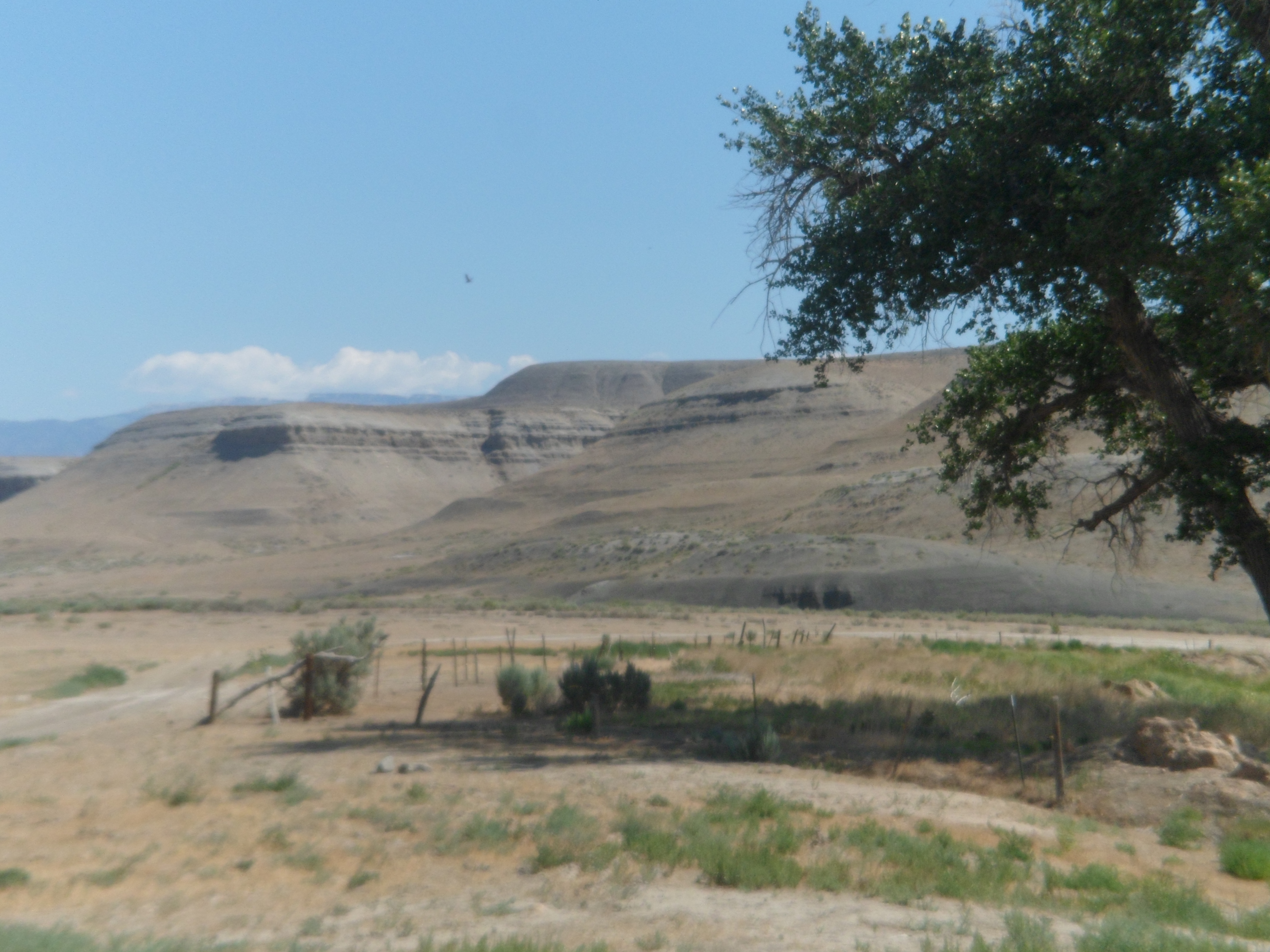
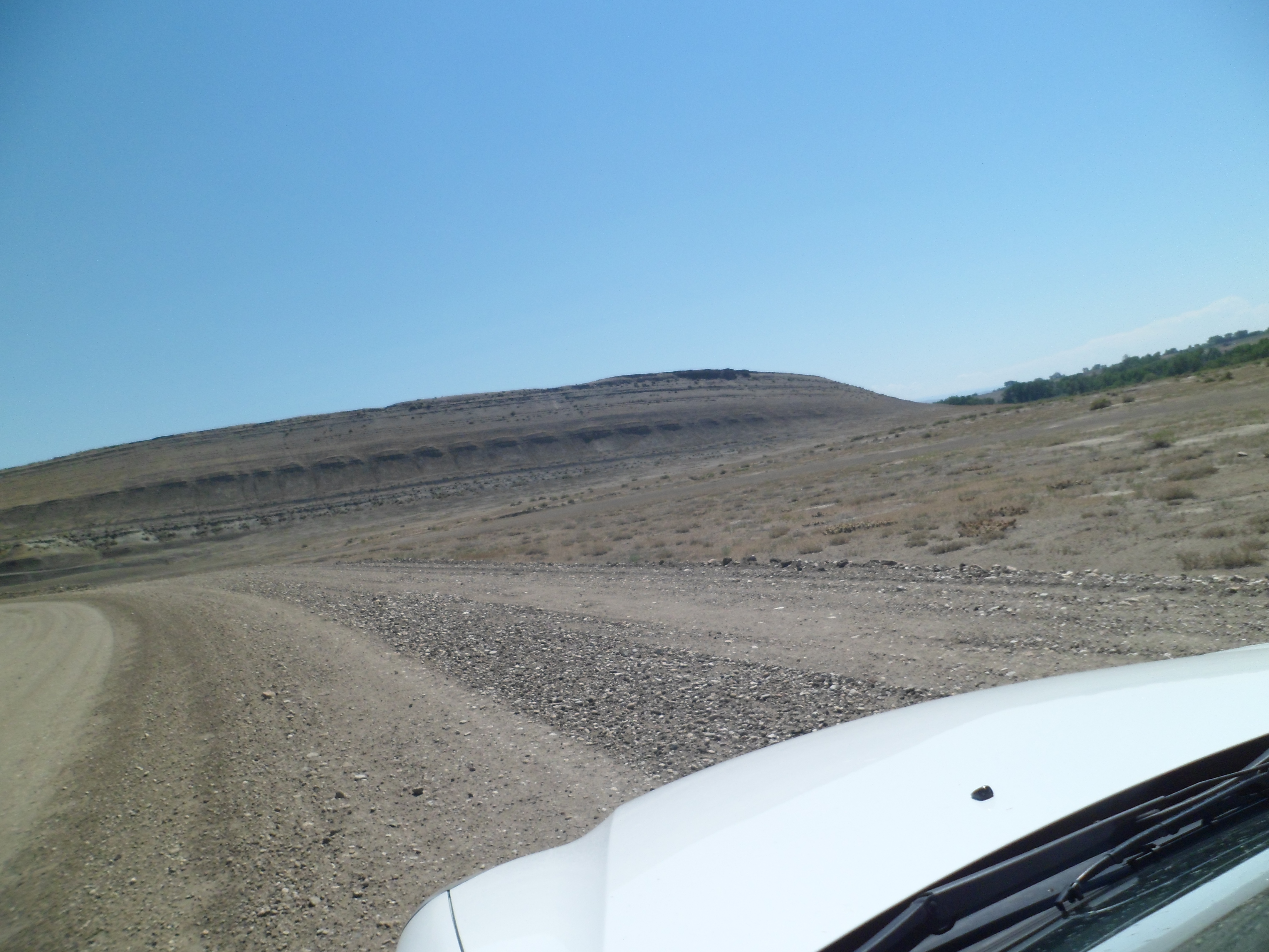
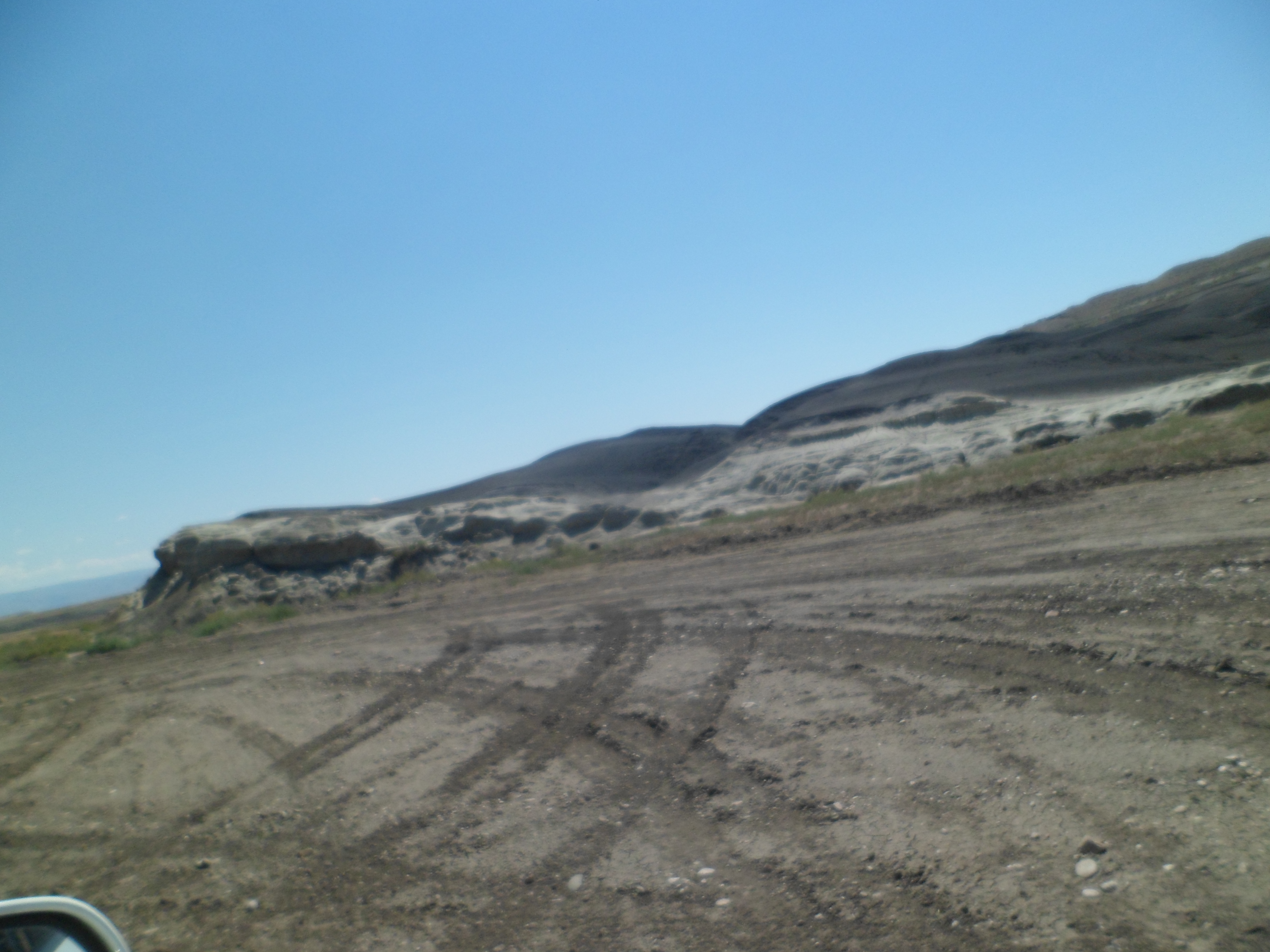
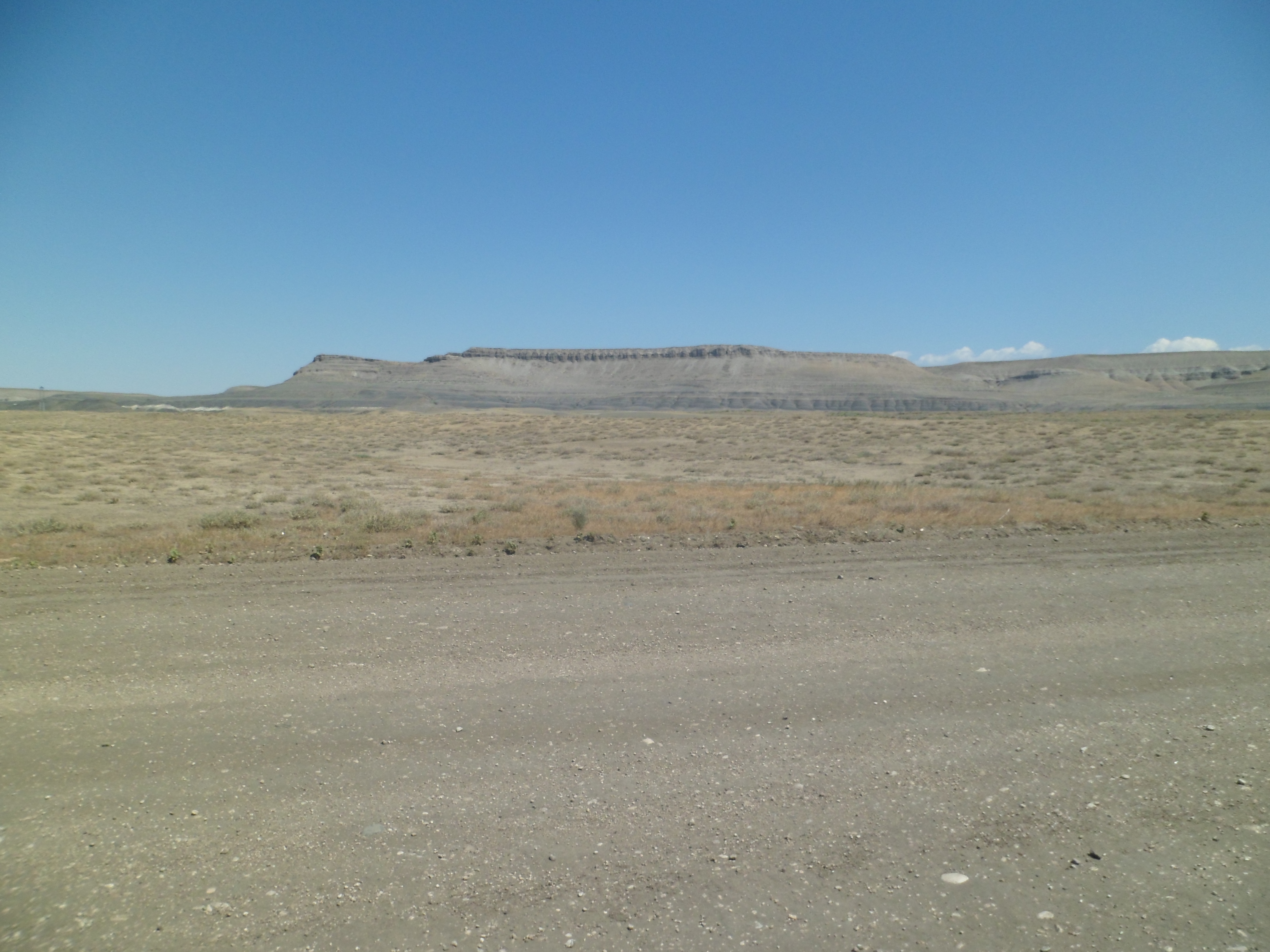
I headed out, across the rugged moonscape that comprises some of the finest fossil digs in the country, around the small town of Shell. There is some irrigation being done, on the outskirts of town, and it works, nicely.
All around Shell, though, there are fossils in this slice of the Great Basin. The remnants of life forms, from the Cambrian to the Pleistocene, are being found almost on a daily basis, by paleontologists working on energy company-owned lands. The signs said,”No Stopping or Parking on Road” and “Watch for Trucks”.
I pulled off on a side road. That’s my drawback, as a human being. Someone asks me to do something reasonable, and I find a way around it.
The austerity of this place masks the wealth of knowledge that is slowly being extracted from its depths. It begs the question: What will future excavators make of the likes of me, if my bones are found, perhaps in a similar moonscape, 10,000 years hence?
In the end, it was the sky, the gorgeous blue, that told me: “Move along. This land belongs to the dead. You only imagine yourself so.”
So, a short time later, I encountered the opposite of this basin. I found Shell Canyon and its Falls. See you tomorrow.
Once past East Entrance, the scenery changes dramatically. Gone are the towering alpine peaks, the geysers, the lakes and the pristine meadows. The Northern Absaroka and Washakie Wilderness areas are pure Great Basin: Dry, spiky sandstone, reminiscent of the desert regions of other western states.
Closer to Buffalo Bill State Park, east of Wapiti, the Shoshone River is harnessed for the reservoir that is named for the famed scout and showman. Here are some scenes of this popular family camping and fishing spot, which is much greener than the rest of Washakie Wilderness Area.
Just north of the reservoir, the Northern Absaroka also sprouts a bit of green.
I felt a bit empty as I pulled into lively, bustling Cody. Thinking it was just fatigue, I sat down and enjoyed a decent plate of three-cheese ravioli and salad at Adriano’s, served by a waitress and a food runner, both of whom were named Shannon. Waitress Shannon was amazing, physically-challenged, yet more than holding her own in the very busy establishment. Cody lives up to the standard one would expect of a town named for Buffalo Bill.
I kept on, into the night and across the grassland of the Greybull River Valley, before reaching the town of that name. Here, I found full campgrounds, but took a room at Wheel-in Motel, as I had to do laundry in the morning, anyway.
Next: Austere Landscapes and Austerity of the Mind