The Road to 65, Mile 235: Back to California, Day 5, Part 2- Point Mugu to Ojai

4

July 21, 2015, Ojai-  I was determined to arrive in Ojai, and to find a fairly inexpensive place in which to spend the night.  That meant bypassing Mission San Buenaventura, in- you guessed it, Ventura.  This seaside namesake of the LA area’s northern county, and its sister city, Oxnard, were full-up congested, as I passed through.  At one point, with a Ventura police officer behind me in traffic, a boy of about nine started to walk nonchalantly into traffic, with his little sister in tow.  He froze when he saw me, but I stopped, halfway through the intersection, and waved them on through.  The cop followed me for about 1 1/2 blocks, then determined I was of sound mind, and went on his way.  Crosswalks are there to be used.

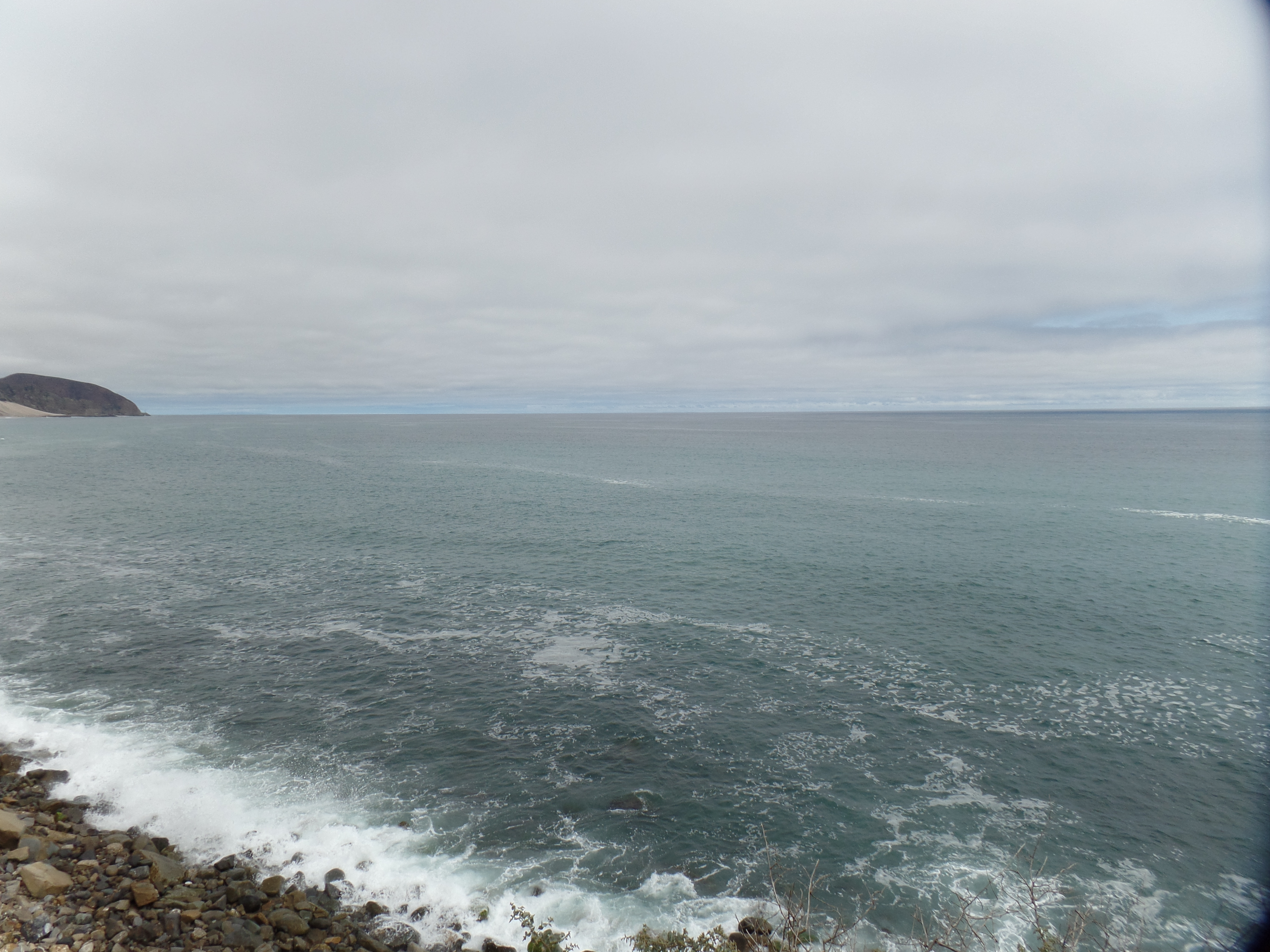
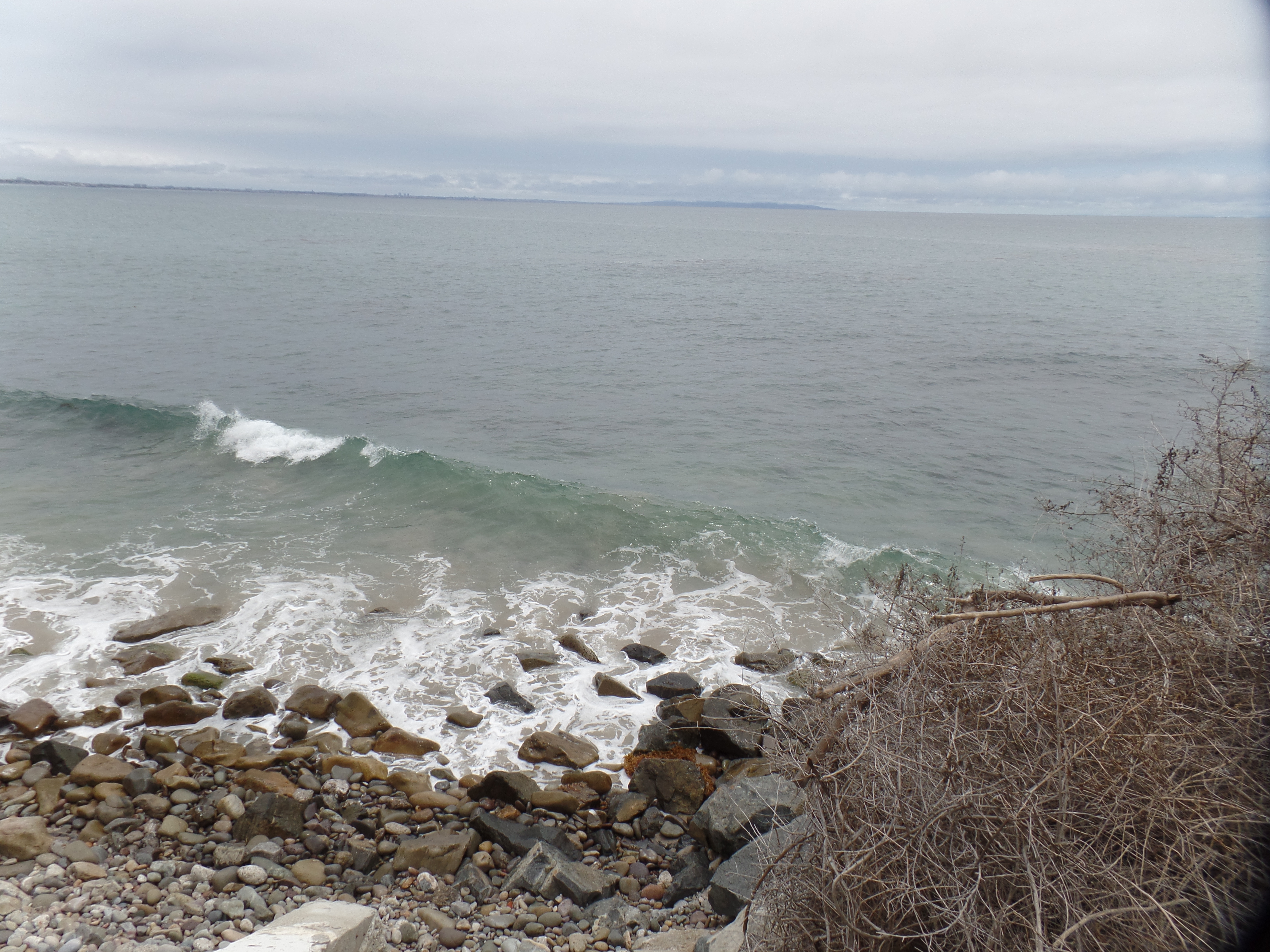
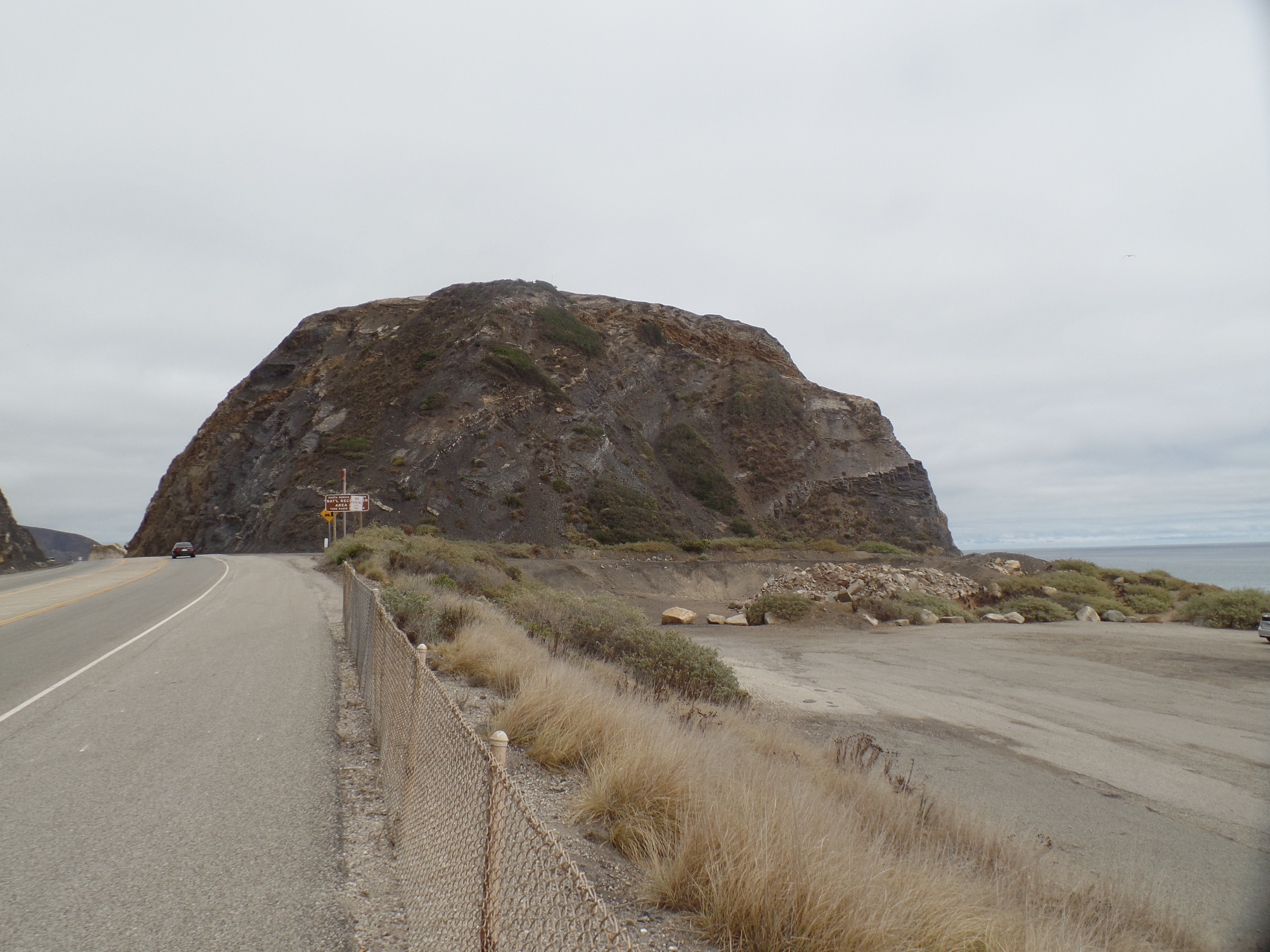
Before that, though, I happened through an area not high on a lot of people’s to visit list: Point Mugu.  It used to be a major naval station, though it, and nearby Port Hueneme, have been downsized.  The rock, though, did attract about a dozen bathers and sun-worshippers.

SAMSUNG CAMERA PICTURES

SAMSUNG CAMERA PICTURES

SAMSUNG CAMERA PICTURES

SAMSUNG CAMERA PICTURES

This rock, south of the signature Point, was partly occupied by three off-duty sailors, who declined to be photographed.  So, I made do with the western edge.

SAMSUNG CAMERA PICTURES

The drive to Ojai, once through the Ventura County beach towns, was serene and lovely.  I chose Oakridge Inn, in Oak View, as my resting place for the night.  It is close enough to Ojai, for a quick jaunt to that mountain town, and near to the junction which leads to Carpinteria and Santa Barbara.

Ojai has just the right mix of generations and balance of artistic and business-oriented people.  It’s also one of the cleanest towns I’ve seen in southern California. The downtown mall is a mix of Spanish and Old West influences.

SAMSUNG CAMERA PICTURES

The Post Office has an Andalusian ambiance.

SAMSUNG CAMERA PICTURES

This is the courtyard behind Feast Bistro.  Many people use this area to walk their dogs in the evening.  It reminds me of some shopping minmalls in the town of Sedona, near Prescott.

SAMSUNG CAMERA PICTURES

SAMSUNG CAMERA PICTURES

This fountain has been turned off, due to California’s paltry water supply.

SAMSUNG CAMERA PICTURES

Here is another class act: Feast Bistro.  It’s a local favourite, and everyone there that night seemed to be a regular.  Dogs are welcome on the patio, and are given water bowls, so long as they are leashed and well-behaved.

SAMSUNG CAMERA PICTURES

It’s no wonder my West LA friend, Kate, recommended Ojai so highly.

The Road to 65, Mile 235: Back to California, Day 5, Part 1- Santa Monica to Malibu

5

July 21, 2015, Ojai-   My first shot, up Pacific Coast Highway, was rather fast- with only the usual five-minute slowdown around LAX to add some vintage Los Angeles to the mix.  Actually, because of advance planning, I haven’t encountered gridlock in the City of Angels, regardless of the route.  I-5, I-405 and I-10 have all been no worse, and usually better, than Phoenix, Denver, Atlanta, Chicago, Boston or New York.  I take that back:  Once, and only once, I spent an hour on the 91, from Anaheim to Riverside.

My first stop on this varied and fascinating day was at a Peet’s Coffee, in Santa Monica.  Main Street has dirt-cheap parking lots, and my spirits guided me to the one across from Peet’s, even before I spotted the coffee shop itself.  Good thing, this, as I arrived right at the appointed time to meet with a long-time Word Press friend.  Kate has been an inspiration to me, since 2012, when I first read her account of a road trip across the South.  Since then, she has focused on many aspects of life, not the least of which being establishing a home, with husband, Brian, and their adorable dog, Frank.

Our conversation lasted about an hour, running the gamut from “How I Met My Wife” to various aspects of our respective journeys- and, of course, Frank- her second-favourite being.  Life intervenes, though, and at noon, she was off to work and I, to Malibu.

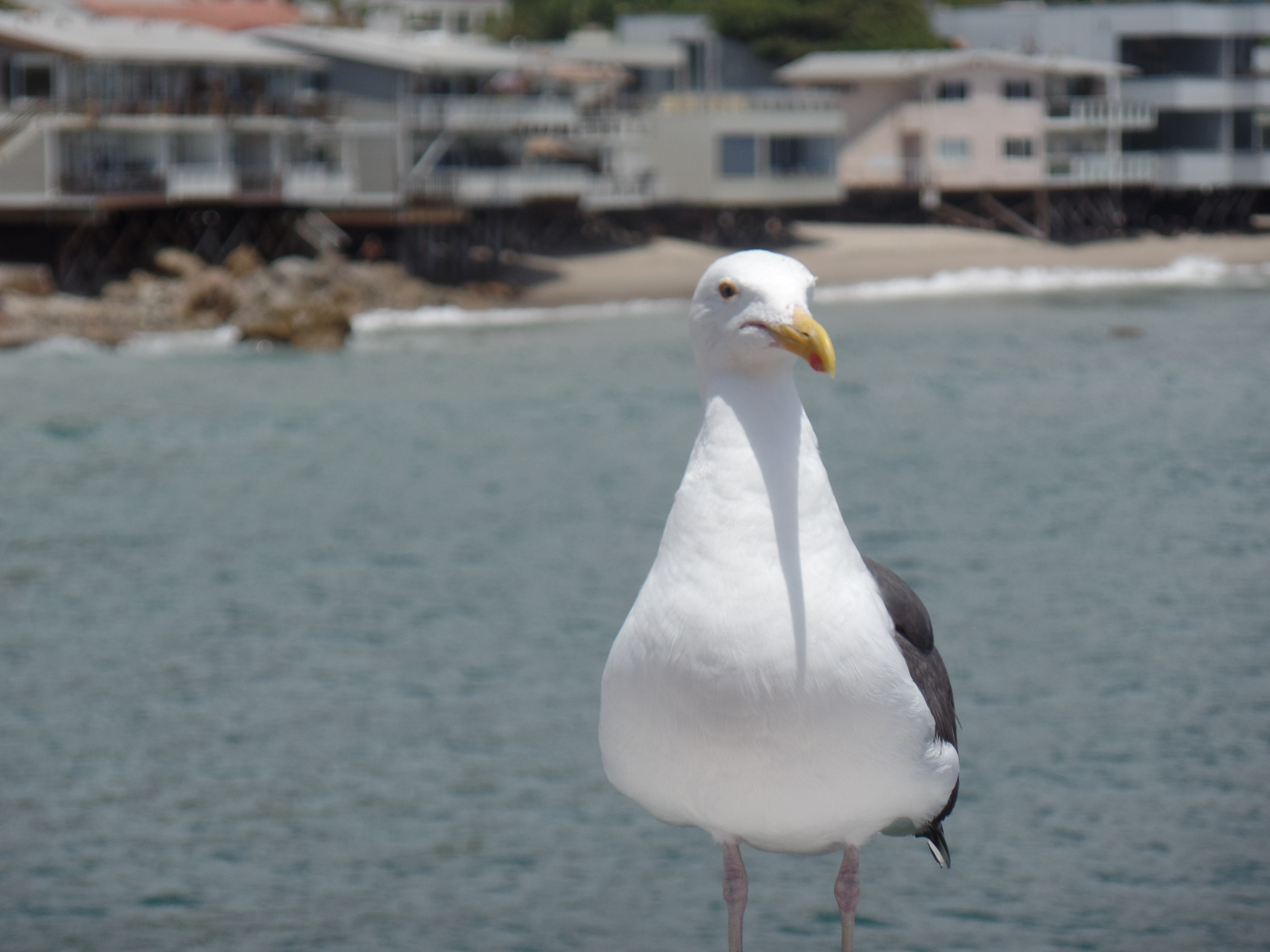
At the Los Angeles area’s northernmost beach-meets-canyon wonderland, I was greeted by a sanguine presence.  Mr. Gull, of course, was at the Sport-Fishing Pier, calmly awaiting dropped bait and other delights.

SAMSUNG CAMERA PICTURES

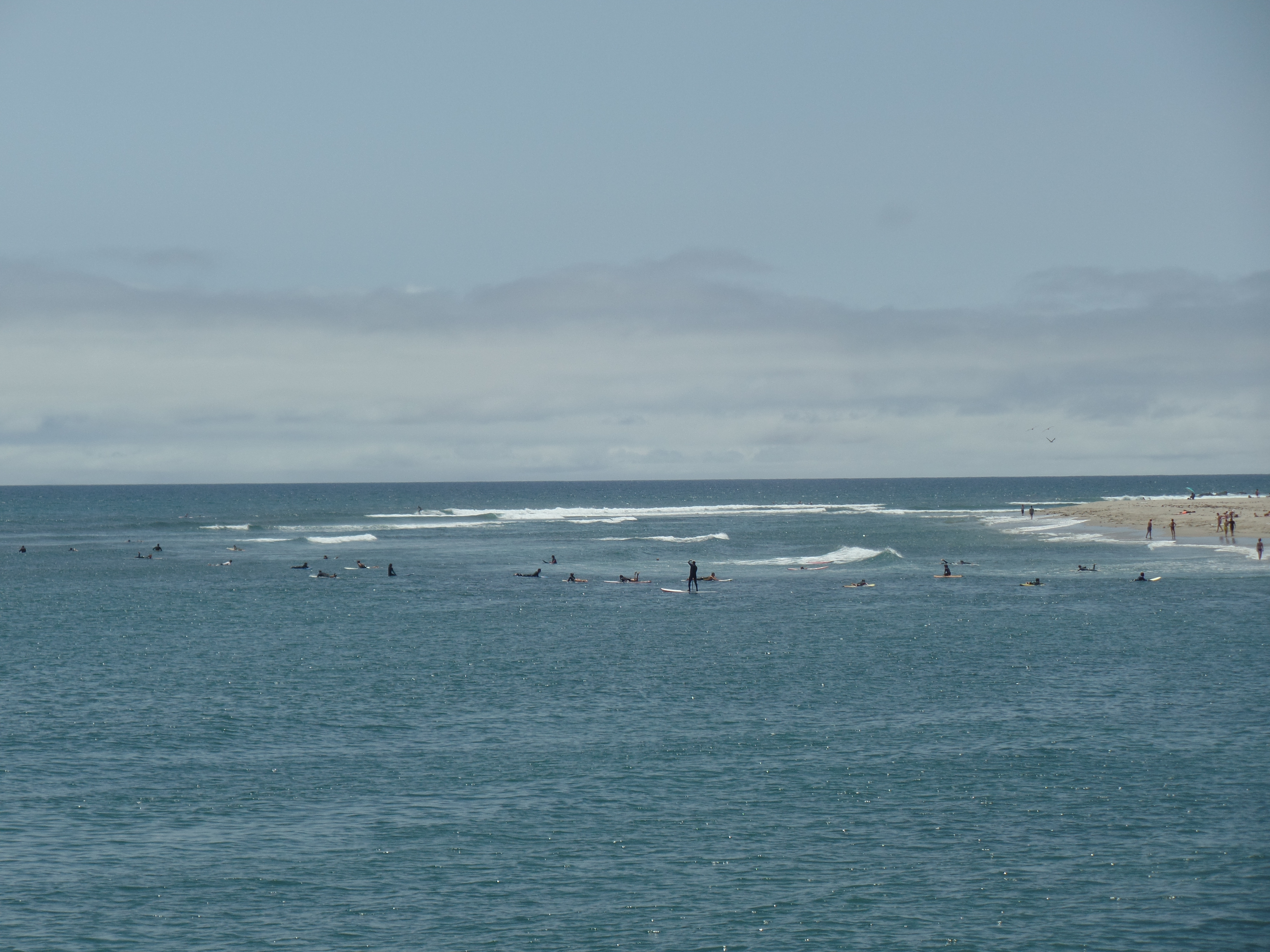
I wandered around the beach area, near the pier, for about forty minutes, just enjoying the sights and sounds of families, young adults, and the sea itself, at play.

SAMSUNG CAMERA PICTURES

SAMSUNG CAMERA PICTURES

SAMSUNG CAMERA PICTURES

SAMSUNG CAMERA PICTURES

I’m not sure how I would do in a sea kayak, or on a boogie board.  Those days passed, with yours truly being only a marginal swimmer.

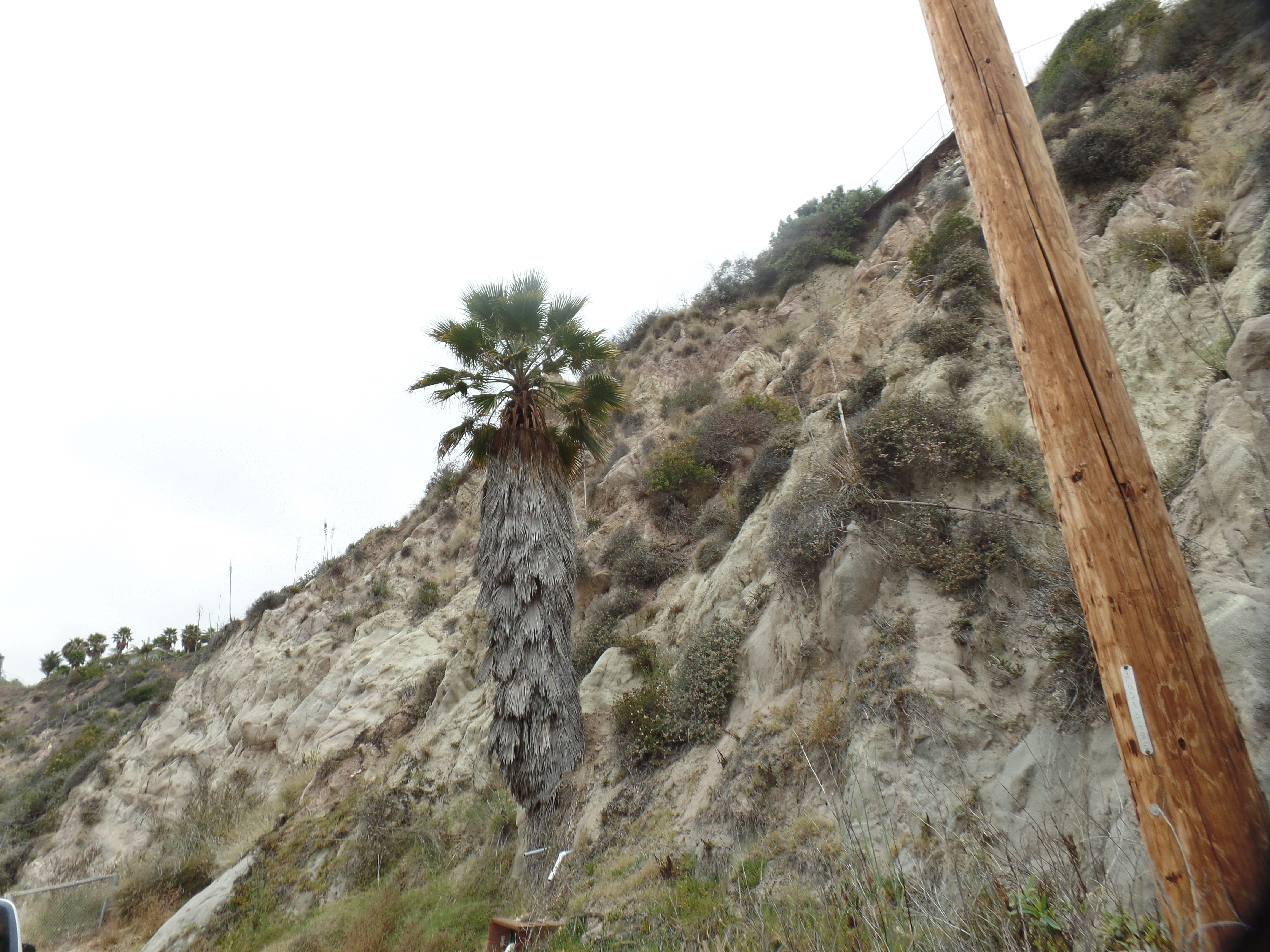
The City of Malibu has gone to great lengths to add flora to its roadsides, both along the highway and on its canyon feeder roads.  Some, like this palm, are native.

SAMSUNG CAMERA PICTURES

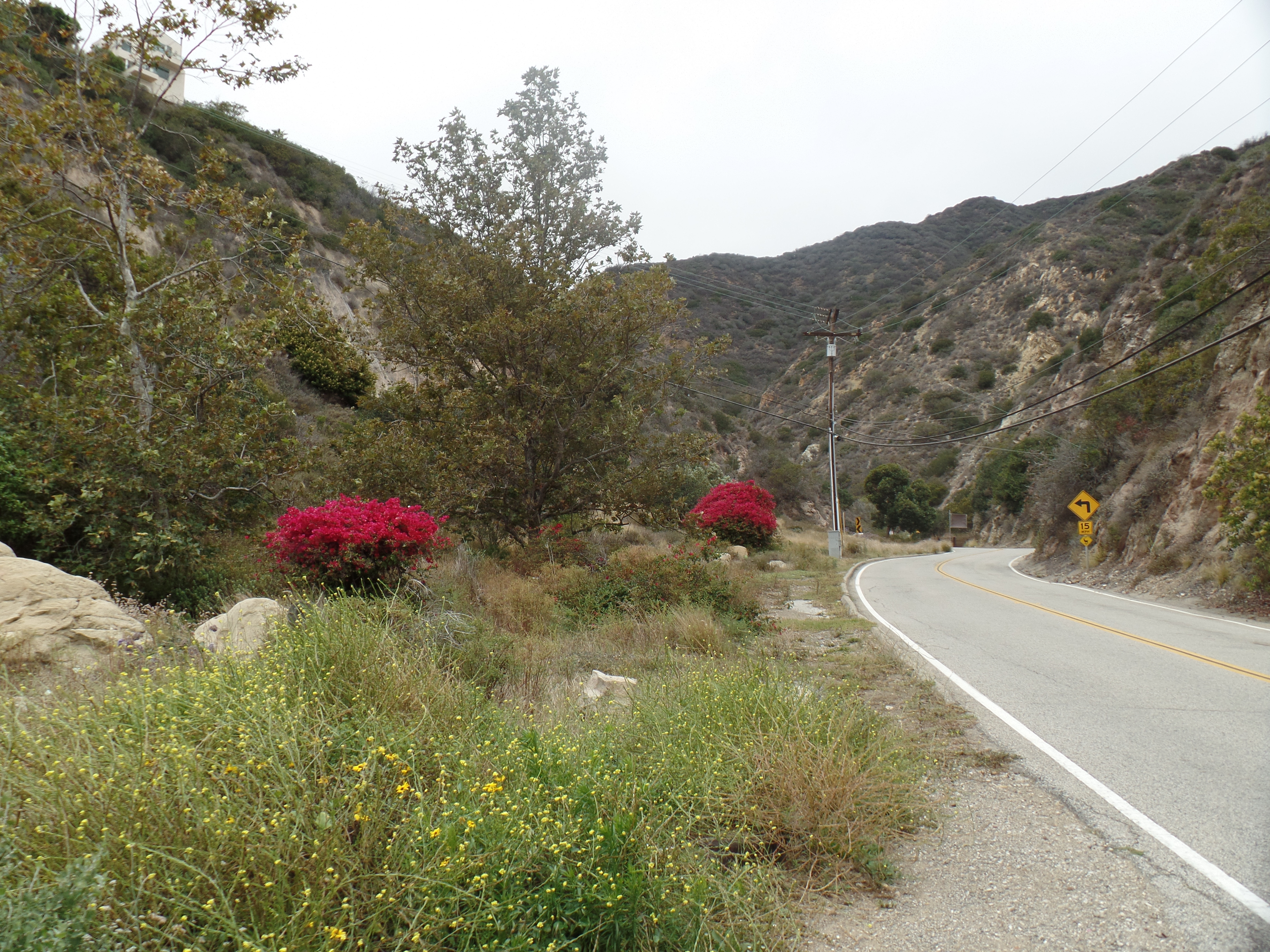
Others, like bougainvillea, just make everything cheerful.

SAMSUNG CAMERA PICTURES

SAMSUNG CAMERA PICTURES

No visit to this area, however short, is complete without a drive in the Santa Monica Mountains. I spent about an hour, here and there, spotting one actress known on television, standing in a driveway, apparently waiting for her ride and looking at me like I was a celebrity.   At another overlook, while I was sitting in my car, eating a muffin, another young lady, whom I recognized as a child star from the ’90’s, zipped into the lot and jumped out of her car, getting back into it, on the passenger side and sitting with the door open, gazing out at the luscious canyon. (Out of respect for these folks’ privacy, I do not identify them in my posts, nor do I approach them for conversation, especially when it’s just the two of us in an isolated area.)

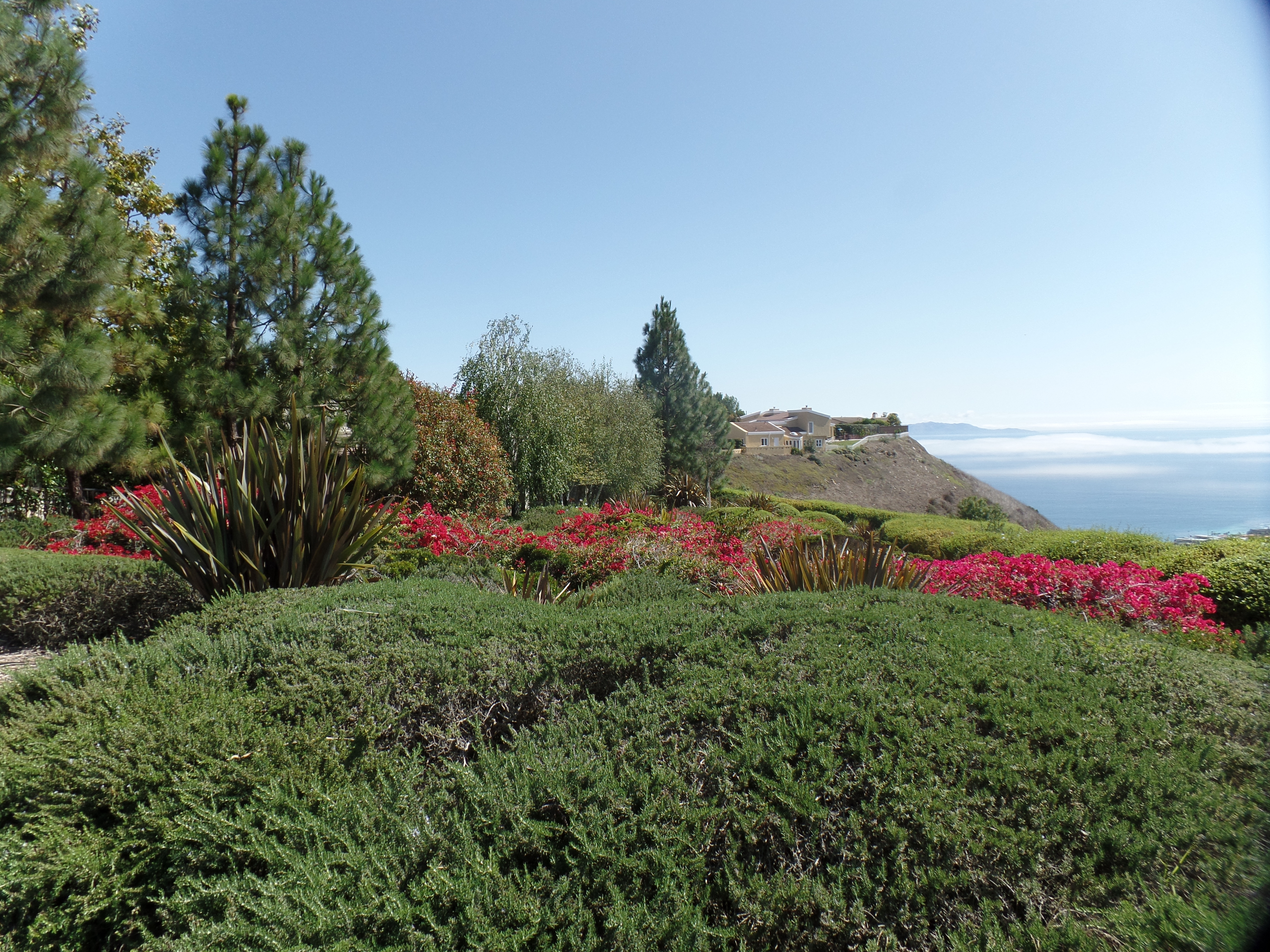
Here are some shots of the exquisite mountains and canyons, which gaze down on the eternal sea.

SAMSUNG CAMERA PICTURES

SAMSUNG CAMERA PICTURES

SAMSUNG CAMERA PICTURES

One could wander for days on end, along Mulholland, and its feeder roads, often without seeing a soul, even in these havens for the people of the entertainment community, and their looky-Lous.  I had a few other spots to catch, though, before the day was done.  One that I had considered, Neptune’s Net, a cafe on the Ventura County side of Malibu, found me there at 3 P.M., not my idea of meal time.  So, it was on to Point Mugu, and Ojai, which will be the foci of the next post.

The Road to 65, Mile 234: Back to California, Day 4

5

SAMSUNG CAMERA PICTURES

July 20, 2015, Lomita, CA-  I bid farewell to my back-to-work son, around 8:15 this morning, and went back on the road apiece.  We agreed that my main focus, over at least the next five years, has to be my staying closer to base and building my stock back up. The rest of the world will be there, when I am 70, and beyond. Others have concurred with that, while acknowledging that jaunts around North America, and over to Europe, were a good thing for my soul.

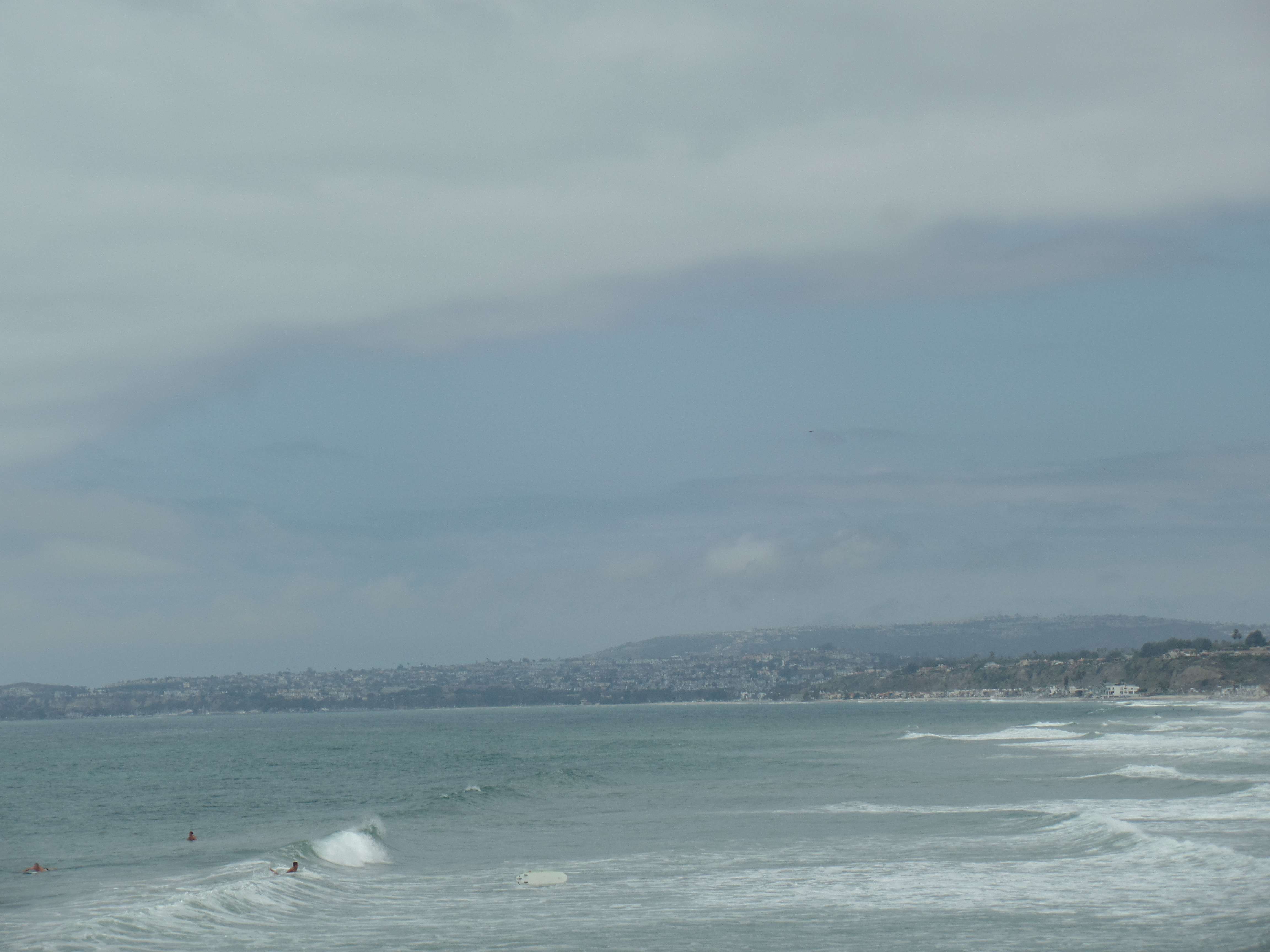
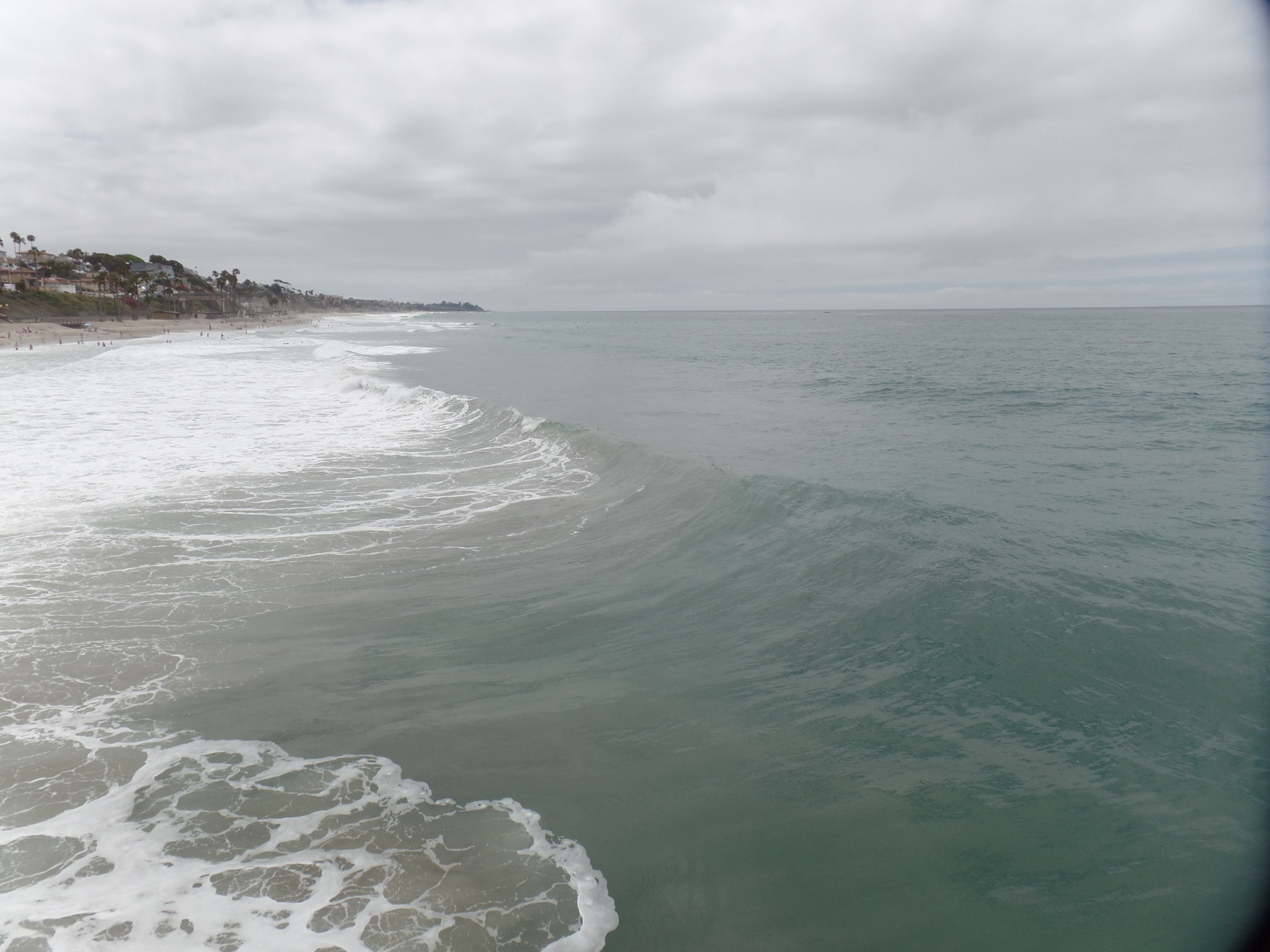
I made my usual visit to Orange County, stopping in San Clemente, for time with a longtime friend, J.  We go for a short walk, take lunch and engage in about an hour’s worth of detailed conversation.  Today’s pier walk offered some good views of big waves, brought to SoCal by Hurricane Dolores, which also gave us two days of rain.

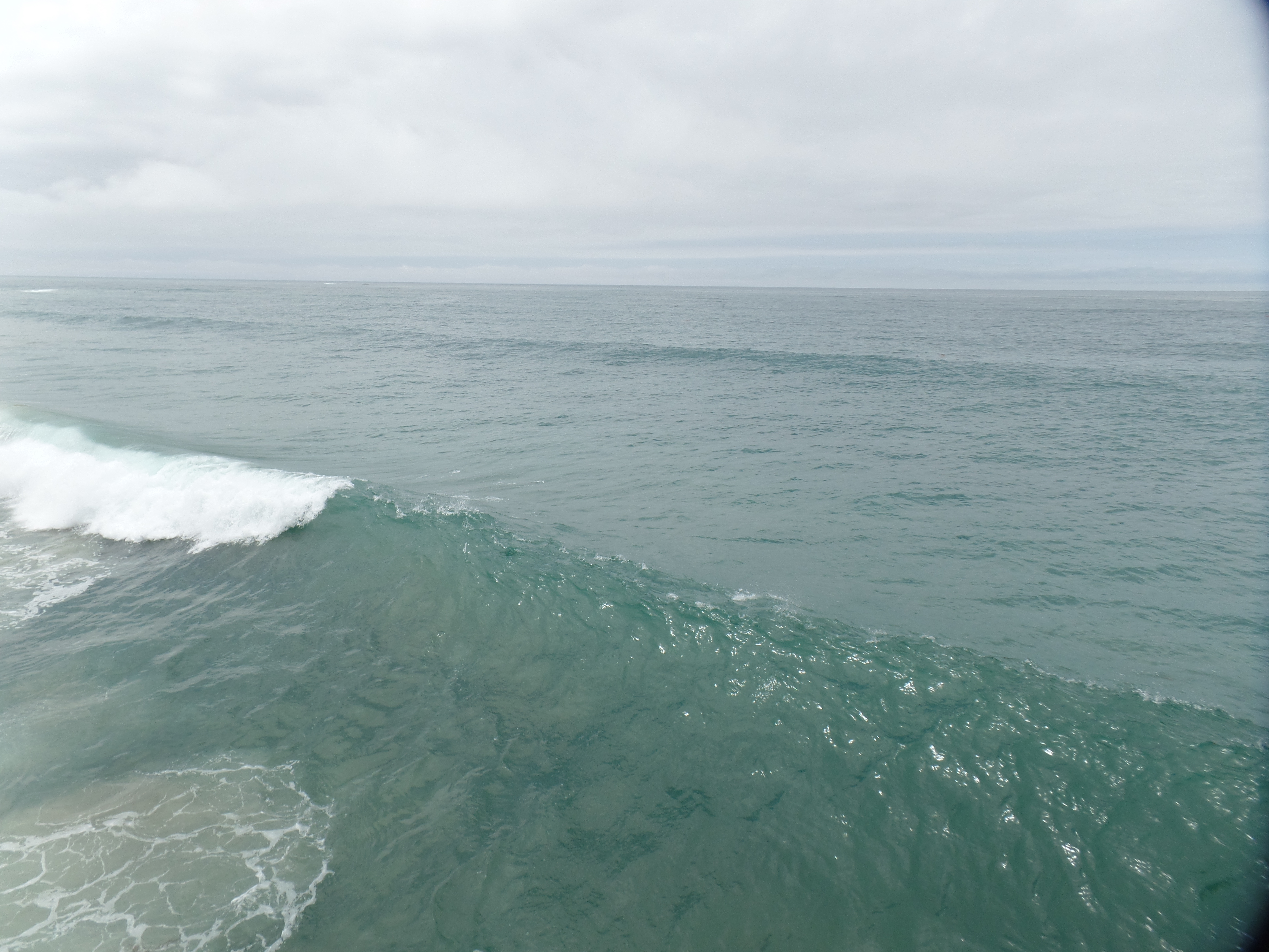
The waves, of course, attracted surfers, of various skill levels, up and down the coast.

SAMSUNG CAMERA PICTURES

SAMSUNG CAMERA PICTURES

SAMSUNG CAMERA PICTURES

SAMSUNG CAMERA PICTURES

SAMSUNG CAMERA PICTURES

SAMSUNG CAMERA PICTURES

You see, above, the progressions of three waves, as they crest and break.

My friend and I went to lunch at Fisherman’s, on the pier’s edge, and each enjoyed salmon and chips.  Our server, R, was keeping a game face and tending to us very well, given the humidity.  We were inside, and I noticed the poor ladies out on the patio, looking as if they were about to keel over.  Tip your servers well, in this hot oven of a summer.

The bougainvillea, off to the north, added some festivity to the scene.  SoCal will surely enjoy at least a brief respite from July & August brownery, with the just passed storm.

SAMSUNG CAMERA PICTURES

Bidding my friend farewell, I headed up the 405, past Long Beach, to the Pacific Coast Highway.  The Palos Verdes Peninsula was next on the agenda.  My friend, M, who lives not far away, calls this “his” peninsula. He and I had a long phone conversation, afterwards, though he was indisposed for a visit.

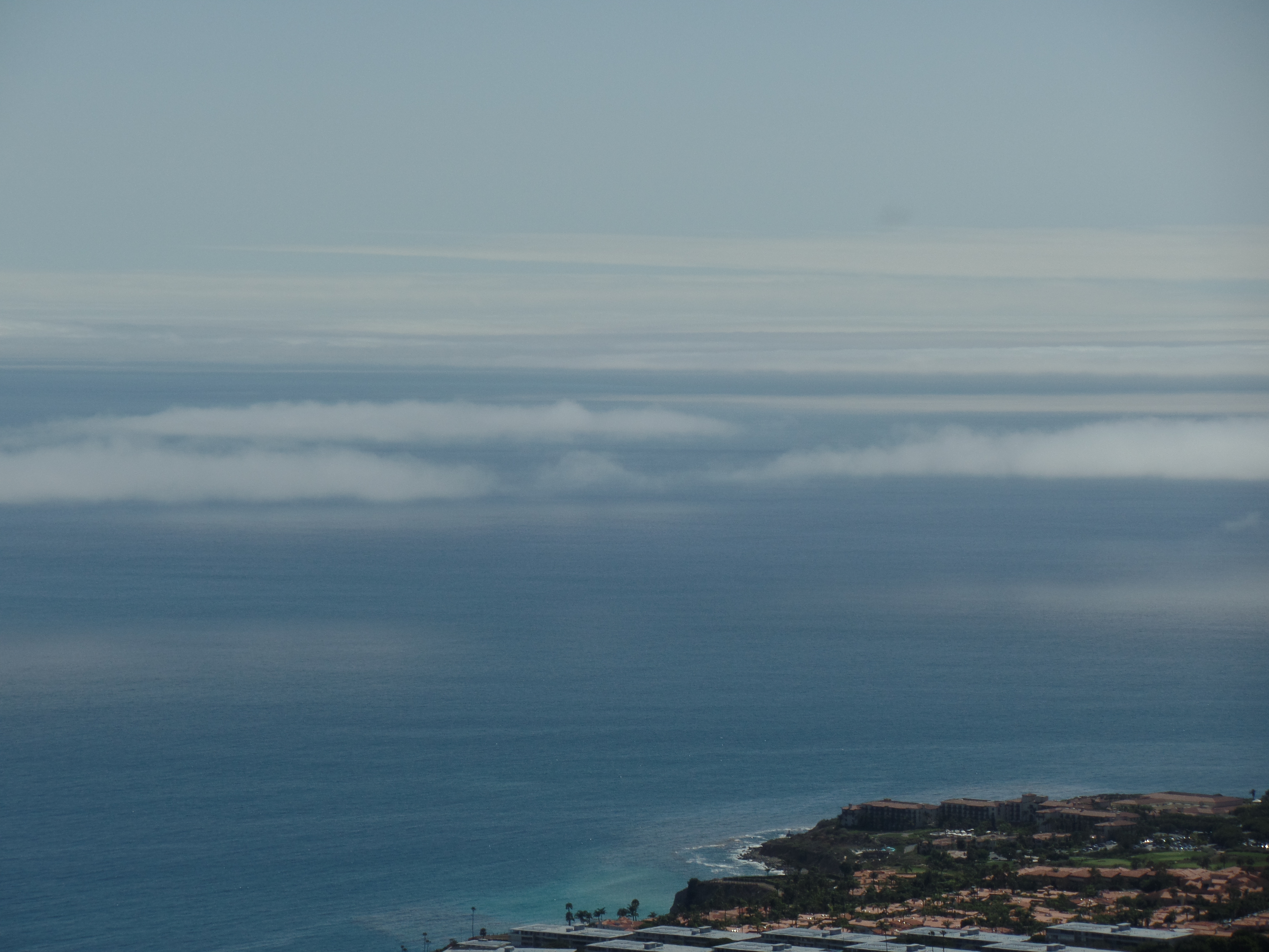
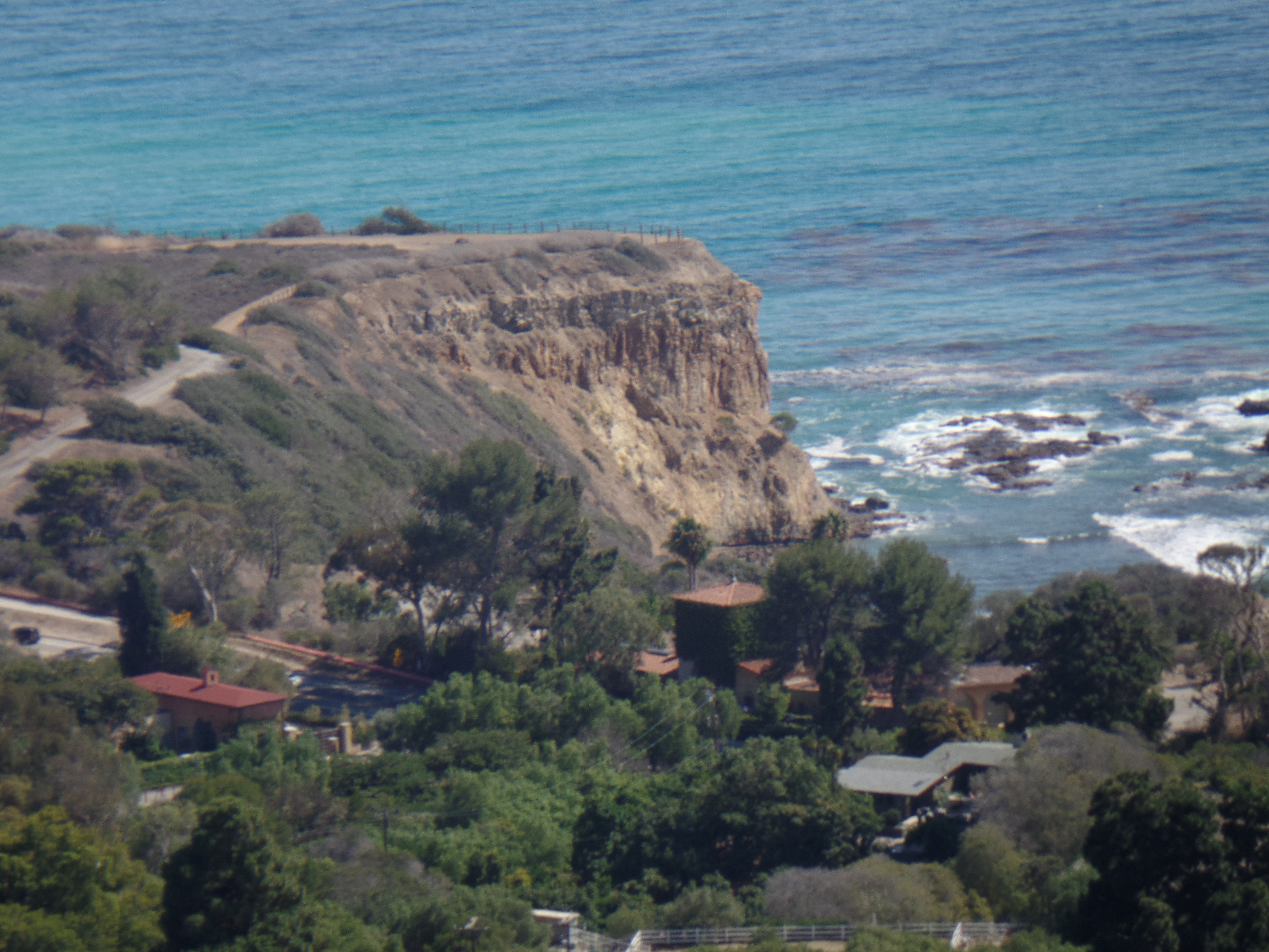
Anyway, the headlands are a natural preserve.  One may enjoy the view from above, and/or go down a formidable series of steps, to the beach itself.  As I had to call M, before he turned in, the upper view sufficed.

SAMSUNG CAMERA PICTURES

SAMSUNG CAMERA PICTURES

SAMSUNG CAMERA PICTURES

SAMSUNG CAMERA PICTURES

SAMSUNG CAMERA PICTURES

A lovely day overall was capped by a gyro sandwich & rice, at Mr. Soulis, a Greek establishment, a bit up the road from Royal Inn, Lomita, where I was staying the night.  Another wonderful soul tended the counter and lit up the room with her smile and graceful demeanor.

Things are going well, and I must remain responsible.

The Road to 65, Mile 233: Back to California, Day 3

6

July 19, 2015, Chula Vista- This was a rain-check, for much of the day.  That suits my heart just fine.  Nowhere is rain more needed than in the Golden State.  I was able to finish reading “Death and White Diamonds”, by Jeff Markowitz, and thus have my suspicions verified,as to the end.  Since Jeff is one of Word Press’s, and Xanga’s, own. several of you will surely wish to read this novel for yourselves.  Here are Laverne and Shirley, and the Rizzo family:  Izzy, Lizzy, Cissy and Missy, but not Ratso.  It also answers the question, “Why take the stairs, when you can just use the elevator?”, but that’s all I can say right now.

Aram and I had a tentative plan to visit the Japanese Garden, in Balboa Park, but the greater good intervened, and the rain was heavier today, than it was yesterday.  So, chill out indoors, we did.  I caught the most recent episode of “Wayward Pines”, on my laptop,  as well as read the aforementioned whodunit.

After Aram’s second straight successful dinner offering, I took advantage of a brief lull in the rain, to check out his new neighbourhood.  A YMCA Teen Center occupies an old and interesting building.

SAMSUNG CAMERA PICTURES

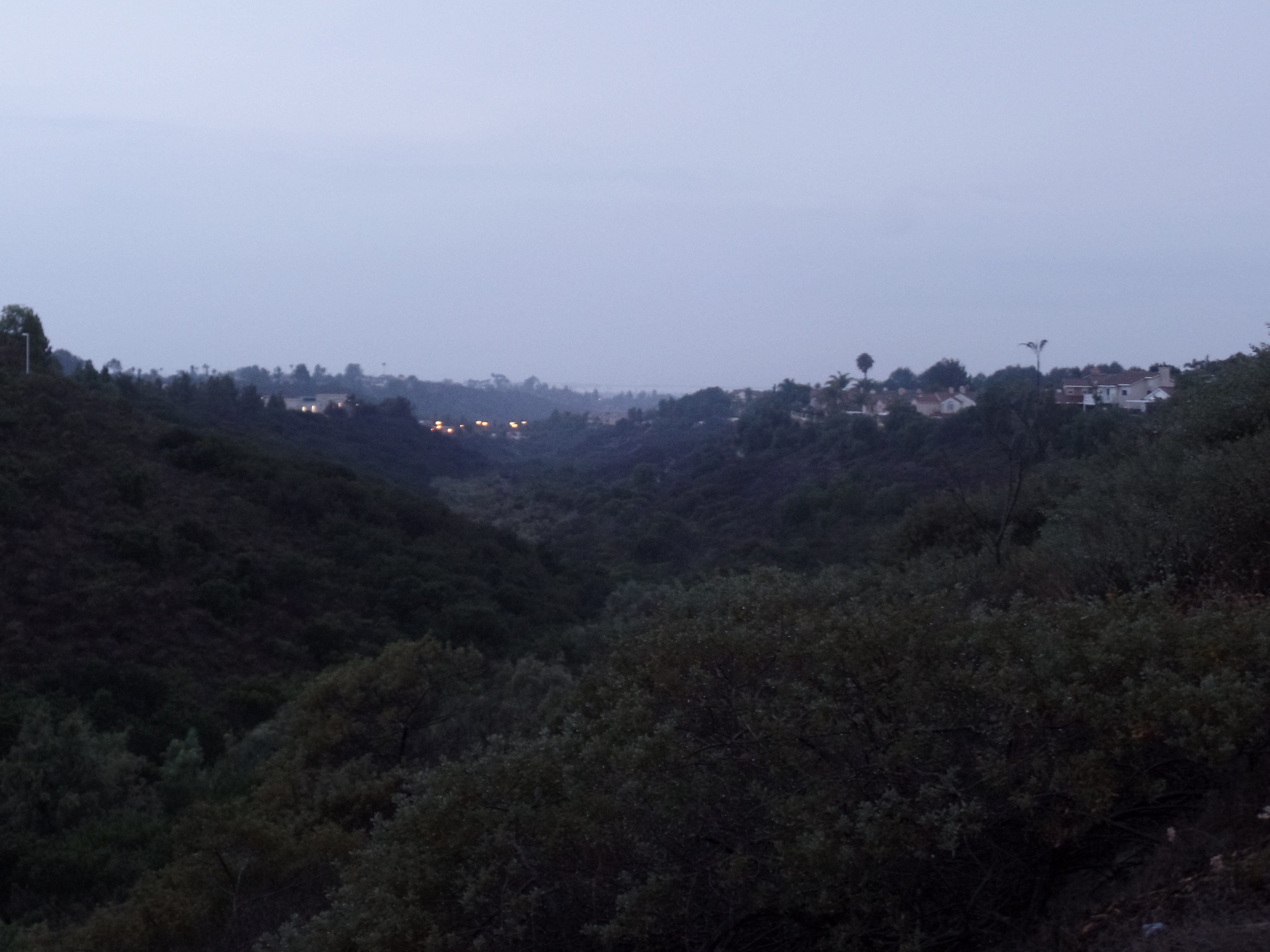
Rice Canyon, seen from above, offers a four-mile walking, jogging and biking path, between Chula Vista and National City, to the north.

SAMSUNG CAMERA PICTURES

SAMSUNG CAMERA PICTURES

I was content with keeping to the sidewalk overlook, especially as it was near twilight.  Still, it’s quite gratifying to have spotted what some call the South County’s best kept secret.  It’s been a restful and very gratifying weekend.

SAMSUNG CAMERA PICTURES

The Road to 65, Mile 232: Back to California, Day 2

7

July 18, 2015, Chula Vista-  It was wet, very wet, across southern California, this morning.  I very happily made my way, slowly, from Oak Grove to Santa Ysabel, and then to this sprawling and resilient city of 217,000, at the gateway to Baja California.  I chose to wait out the worst of the thunder and lightning at the campground, before heading west and south.

Breakfast was a bit late, 10 A.M., at Apple Country- my go-to place in this little mission town, northwest of Julian.  The rain lulled just long enough for me to get a pie, at nearby Julian Pie Company, to take to Aram.  Once I was back on the road, so was the rain.  We traveled together to Chula Vista, and the steady soaking downpour made normally frenetic SoCal drivers take heed.  There were “only” two accidents, along my route, but they were sufficient to slow everyone down even further, though it was nothing like the tie-up south of Reno, on June 28.  Of course, there were the usual anomalies- a wrong way driver shooting out of an entry ramp, at I-15 south, in Escondido and a propane truck doing 70, on the inside lane of said thoroughfare, while the rest of us were content with 50, in the increasing downpour.

This is a most blessed sight, this wet pavement.

SAMSUNG CAMERA PICTURES

Son and I made a trip to Costco and picked up a table and chairs for his new apartment, then took in “Ant Man”, a surprisingly interesting film that centers on quantum physics- and touches on how feelings of jealousy and unrequited filial piety can lead to villainous madness.  Ants, as many of us have come to realize, are powerful and fascinating beings- as long as they don’t infest one’s home, or other surroundings!

SAMSUNG CAMERA PICTURES

We had our customary lengthy conversation, afterward, with Aram putting together a fine meal, in his first real kitchen.  Good times don’t have to be dramatic, in southern California.

The Road to 65, Mile 231: Back to California, Day 1

6

July 17, 2015, Oak Grove, CA–  “Don’t go telling people this is Aguanga.  We’re Oak Grove!  The sign even says so.”  Thus did a campground host admonish me, when I was describing my location to someone on the phone. This little village is darned proud of its identity, and never mind that the mail is addressed to Aguanga, six miles to the northeast. I stopped here for the night, at what has become my go-to campground, when en route to visiting my son, who is in the Navy, in the San Diego area.

My journey started in a more timely manner than previous SoCal trips, with my getting out the door by 9 A.M.  I was in Blythe by noon, affording me a nice lunch at Rebel BBQ, my favourite venue in Riverside County’s eastern gateway.  It offers south Texas-style barbecue fare, including brisket prepared with a Mexican-German sauce blend.  They offer something called vinegar slaw, which sounds like sauerkraut, but I opted for creamy slaw, with my meal.

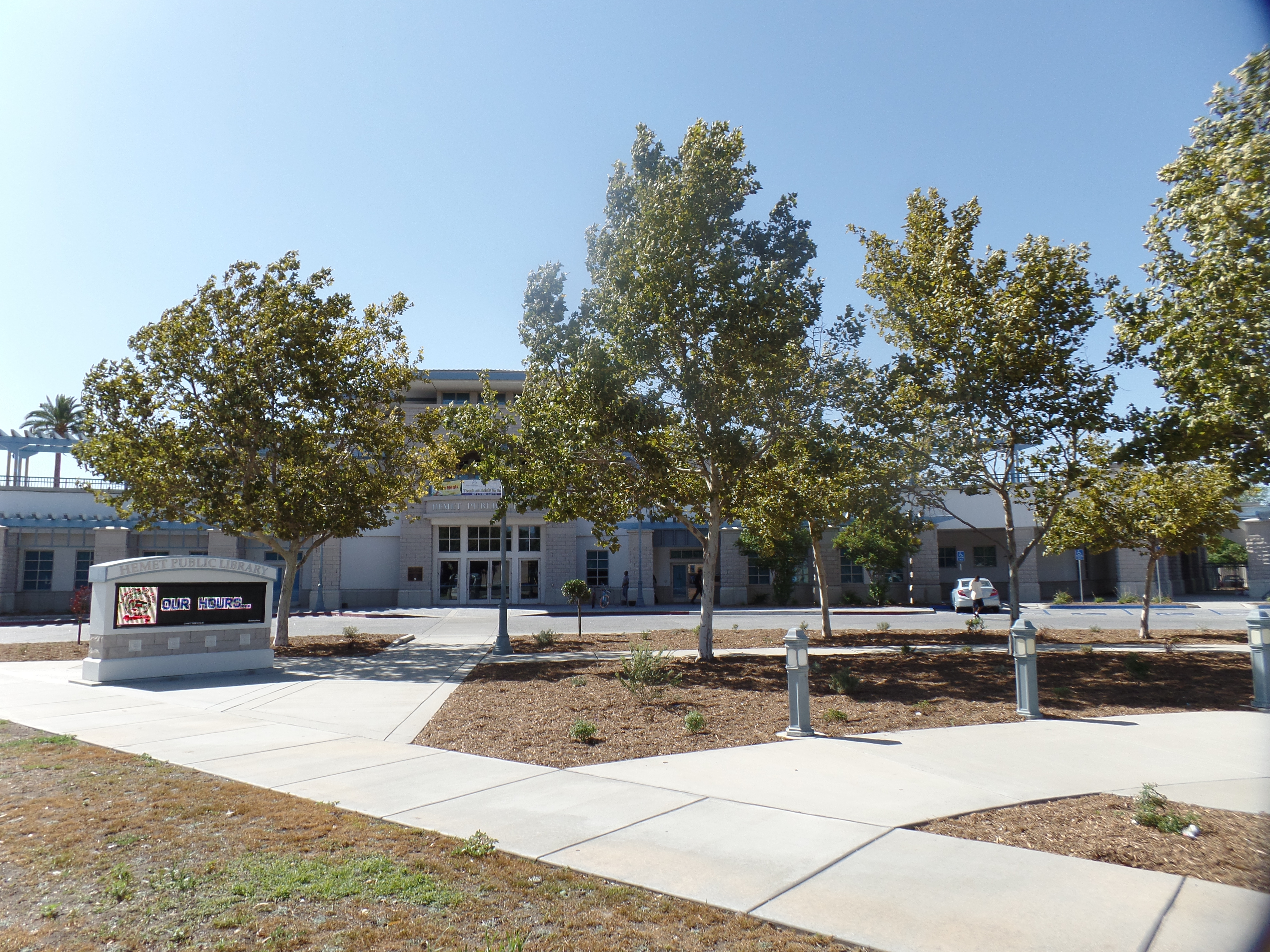
It was 102 F, in Blythe, so I headed quickly uphill,  getting to Hemet, a higher desert town, by 3.  I spent a bit more time here than I have in the past, and for the first time, I checked out Hemet’s downtown, starting with its library, where I spent an hour or so.

SAMSUNG CAMERA PICTURES

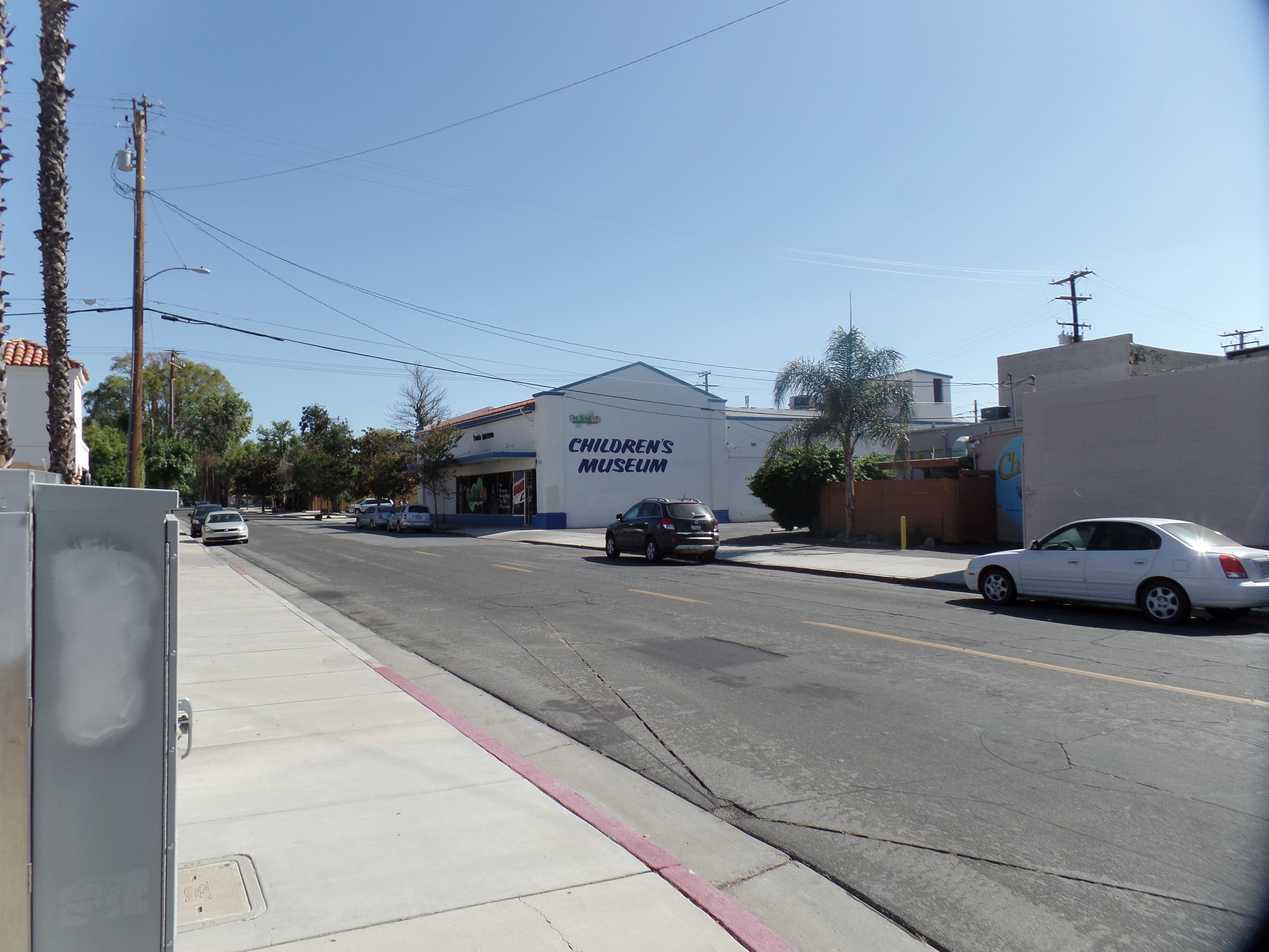
The town also has a lovely Children’s Museum, on the southern edge of downtown.  Not having a little one along, I didn’t go inside, but a local mother takes her children there, several times a year.  This speaks well of Hemet’s regard for its rising generation.

SAMSUNG CAMERA PICTURES

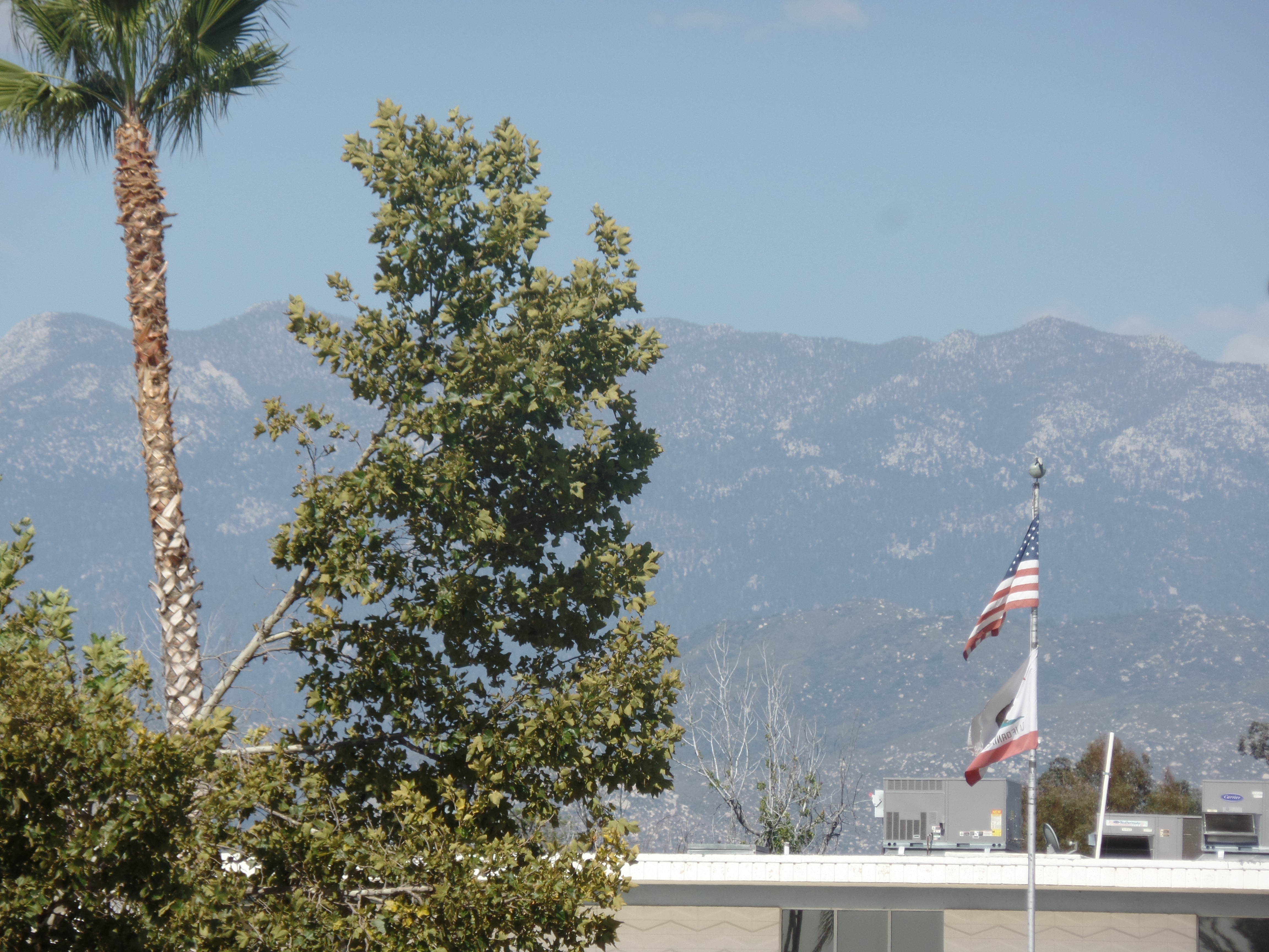
The view towards Mount San Jacinto, 40 miles to the east, is spectacular.

SAMSUNG CAMERA PICTURES

I headed out of town, along Juan Bautista de Anza Historical Trail, which is paved as far as the Conservation Camp, named in de Anza’s honour.  The route passes several orange groves, which remain a staple of Hemet’s economy, while having faded in other parts of southern California.

SAMSUNG CAMERA PICTURES

Bautista Conservation Camp, run by the State of California, is used as a staging area for fire suppression efforts.  Painfully, not so far away, on the north side of San Bernardino County, a serious fire is wreaking havoc, destroying a small hamlet and threatening other areas.  I hope the hurricane remnants, that are forecast for tomorrow, bring soaking rain to the region.

SAMSUNG CAMERA PICTURES

Between Bautista Camp and the Cahuila Indian Reservation, one goes along a narrow, unpaved road, and is treated to exquisite views like this:

SAMSUNG CAMERA PICTURES

I can only imagine these will be even more gorgeous, once the rain comes.  Now, to sleep under the stars, before that happens.

The Road to 65, Mile 213: Manzanar

8

June 29, 2015, Lone Pine-   Today is the last day of my second long road journey of this year.   Like all trips, it has been less of a “vacation”, (though to some, any time spent away from one’s home town is a vacation), and more of a time of self-discovery.  I learned that I could handle the worst of circumstances, with help from the spirit realm and logistical support from steadfast friends.  I learned that there are those who will love me, regardless of what condition I am in and that there are those who will despise and avoid me, no matter how humbly I approach them.  I learned, again, that there is no Final Destination, and that, no matter how far one goes, there is that one step beyond.061
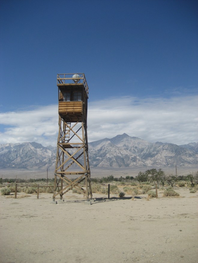
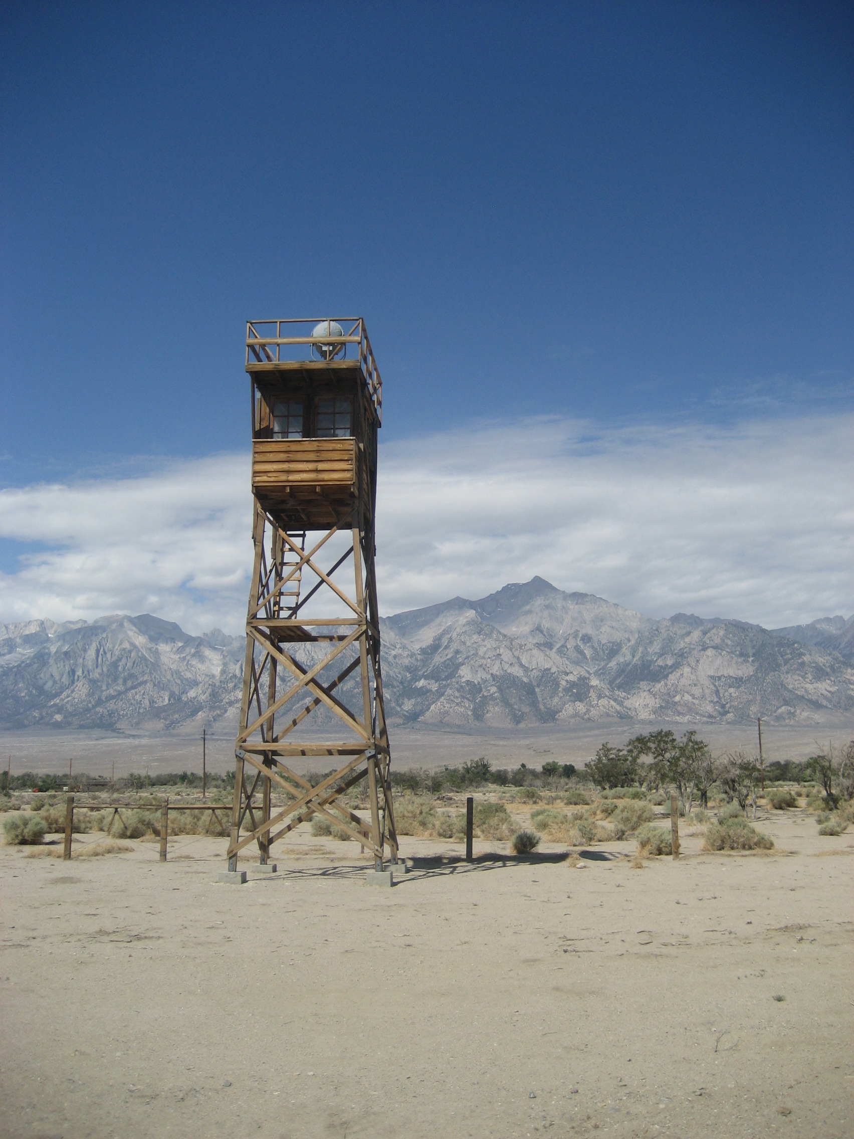
My last key destination on this road trip is a place of national shame, and of continuous soul-searching.  Fear itself drove Franklin D. Roosevelt to order the removal of Japanese-Americans from the immediate Pacific Coast and of smaller numbers of German-, Italian- and Romanian-Americans from the Atlantic and Gulf Coasts, from 1942-1945.  These American citizens were interned in what the President himself called “Concentration Camps”, though there were no pogroms planned or carried out against any of the interned.

Manzanar was the largest of the camps, with the Sierra Nevada serving as a wall between its Great Basin location and the western 2/3 of California.  People were rounded up, without explanation, by the FBI and the military, early in 1942, from places like San Diego, Long Beach, Los Angeles, San Francisco, Sacramento, Portland and Seattle, and transported in buses and trains to this desert camp, and several others, such as Poston, AZ and Tule Lake, CA.  There are two ironies here:  The camps were often close to, or on, Native American reservations, though Manzanar was not- as the reservations in this part of California are on the outskirts of small Great Basin towns.  Manzanar was a small collection of farms and ranches, such as Wilder Farm and Shepherd Ranch.  These had been abandoned, before the U.S. government took over the area.  The second irony is that, in 1944-45, internes were recruited into the U.S. military, for service in the European theatre.  Many Japanese-Americans distinguished themselves in military service, including the late Daniel Inouye, who later served several decades as a U. S. Senator from Hawaii.

The Visitor Center at Manzanar National Historical Site has elaborate displays of both the Internment Period and of the history of the region.  The other big conflict between ordinary citizens and the governments, both state and Federal, involved water rights in this region, the Owens Valley.  The City of Los Angeles has bought up the lion’s share of water rights and built a pipeline, to meet much of its water needs.  There is ongoing discussion with Owens Valley residents, from Bridgeport and Bishop, in the north, to Lone Pine and Lee Vining, in the south, about how to strike a balance with the City of Angels.

062

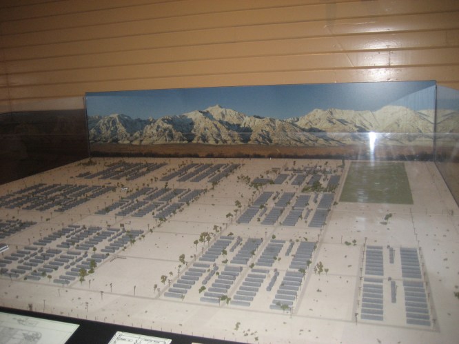
Here is a scale model of the Internment Camp, at its peak.063
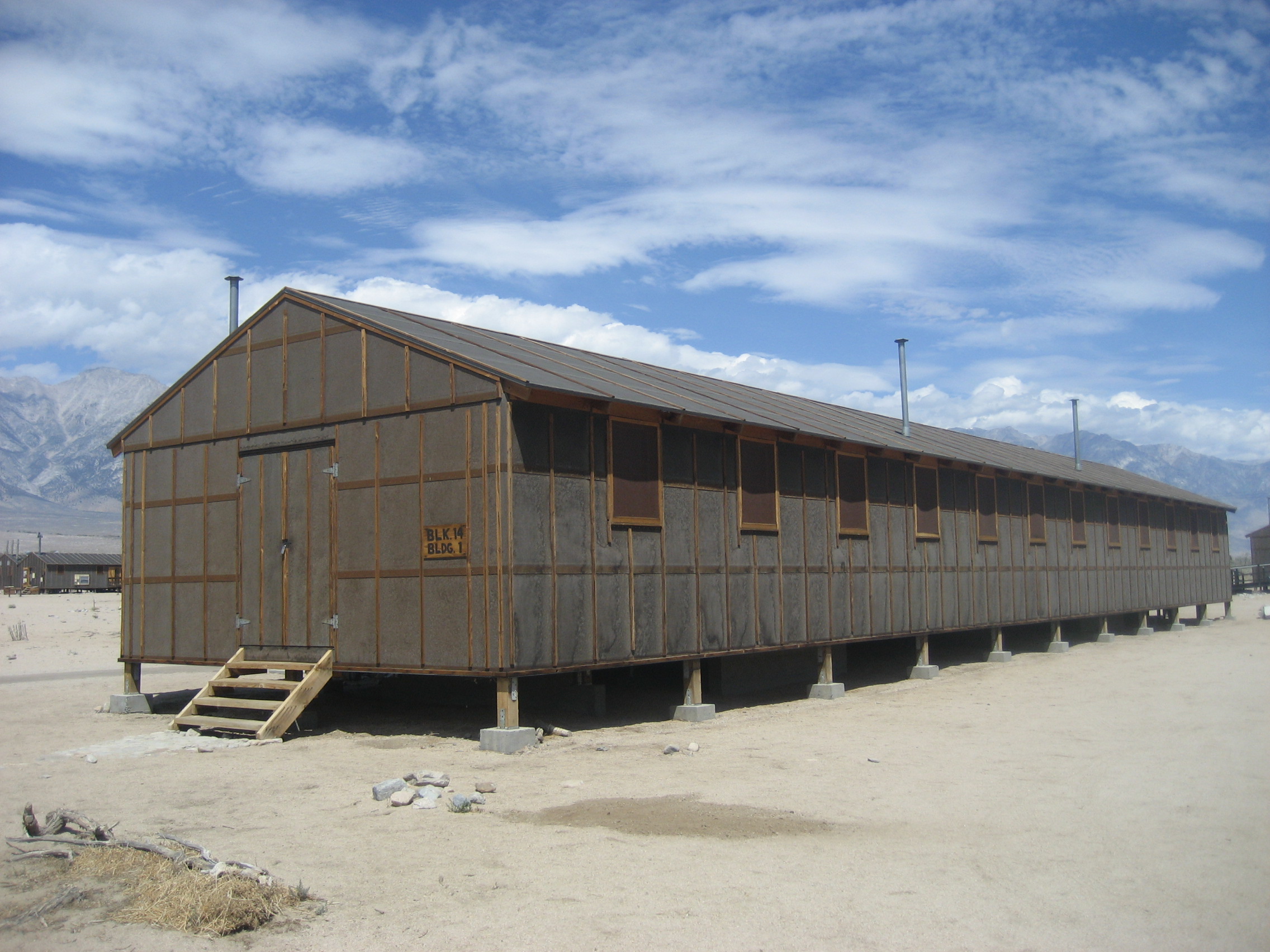
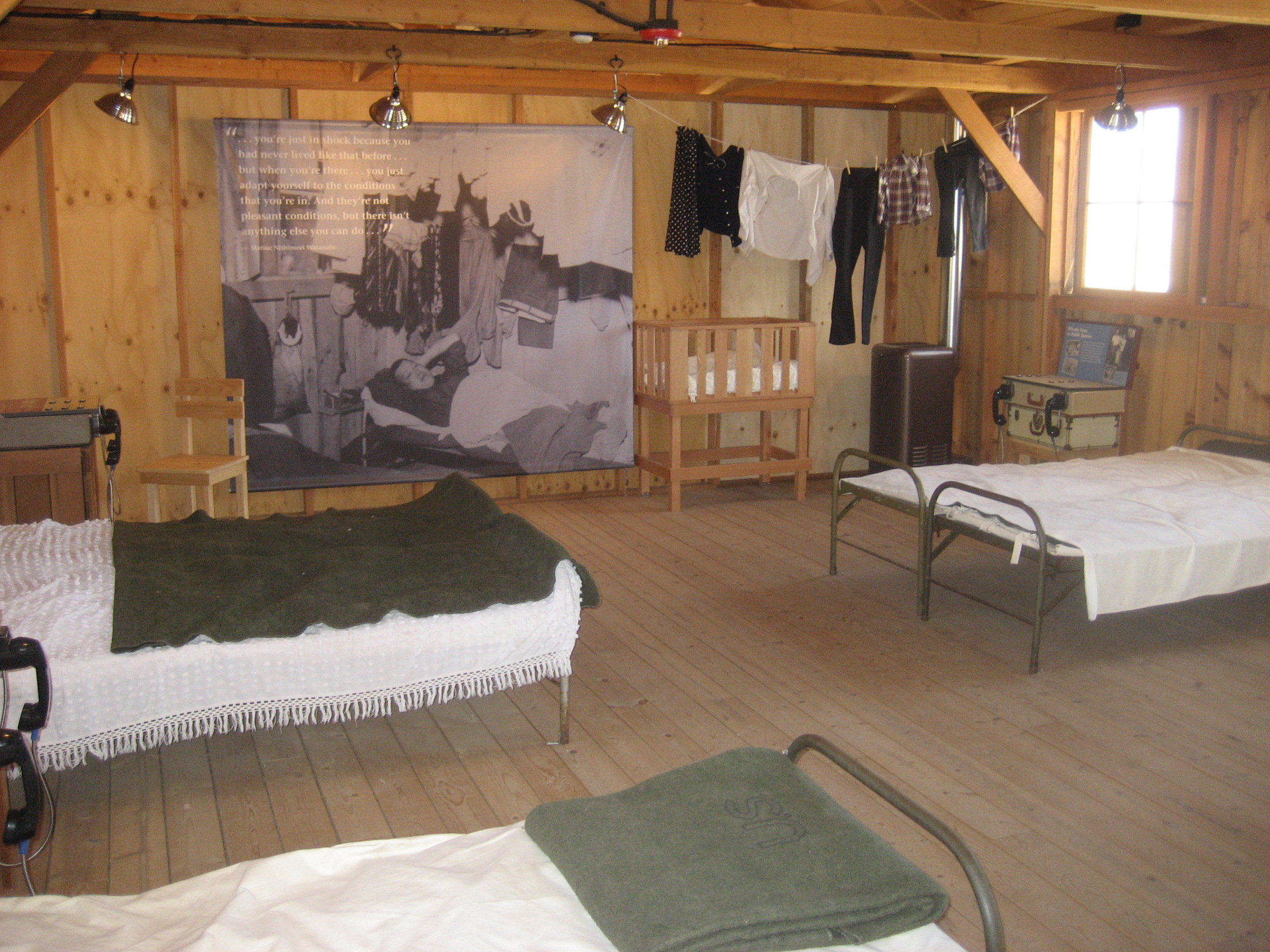
Some dormitories are maintained, by the National Park Service, to show just what living conditions were for the detainees.  Remember, in 1942, there was no air conditioning, such as we know today.

064

068

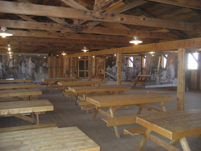
The dining halls were crowded, and there were few safeguards against infestations by vermin and scavenging insects.
078

Ruins of several areas are accessible.  Here is what’s left of the house at Shepherd Ranch.

093

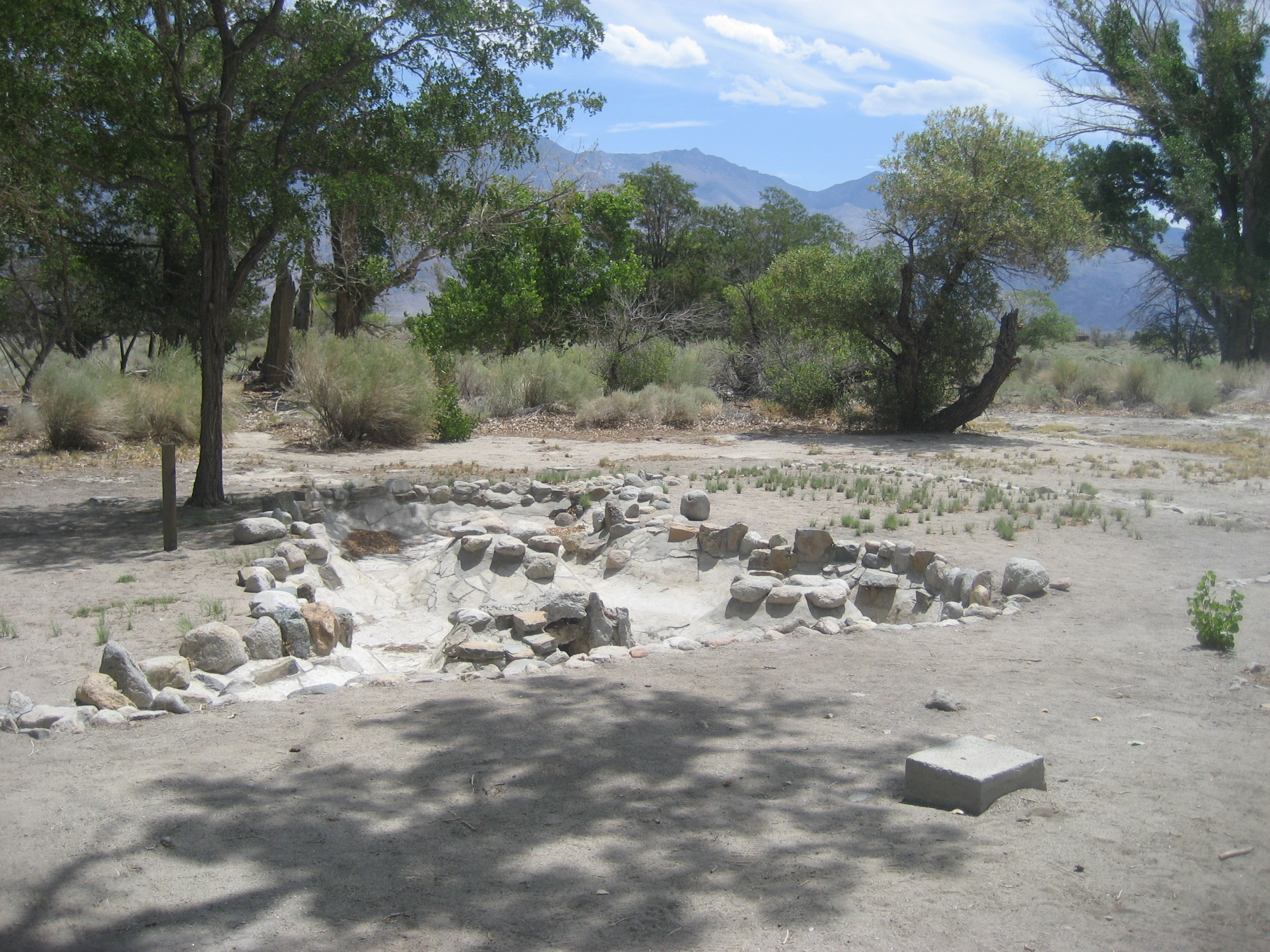
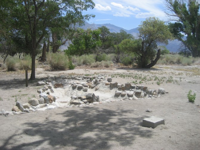
This was once a koi pond, maintained by the internes.
100

They kept up a splendid “city park”, on the north side of the camp.

103

Yes, it was called Pleasure Park.

107

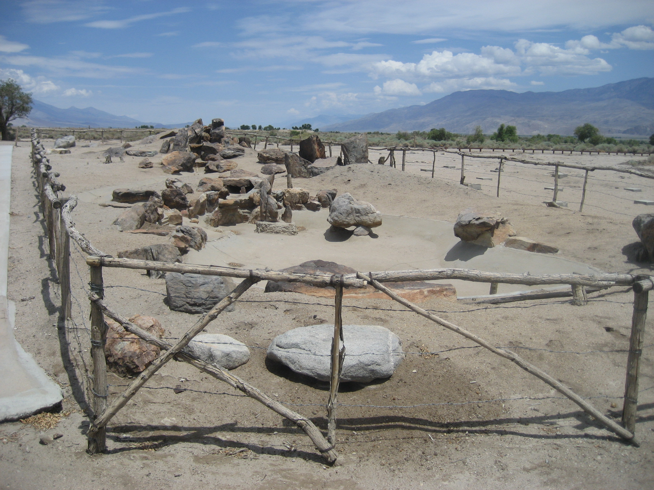
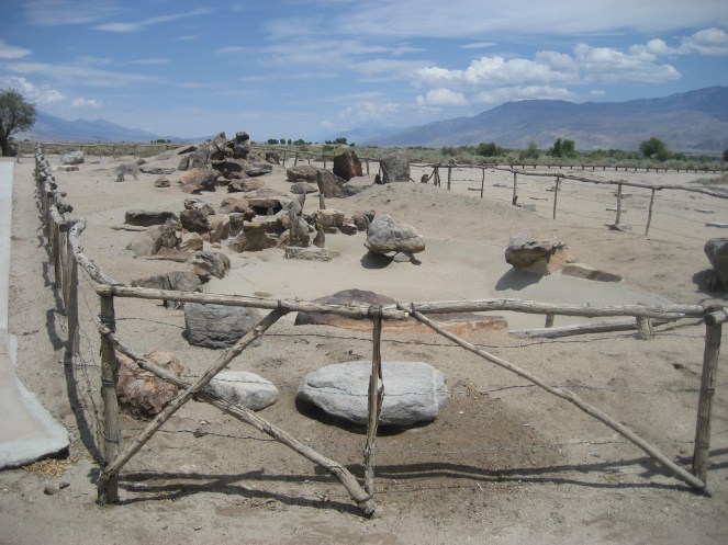
This part of the park is sealed off, to prevent injuries to the public, and defacing of sacred inscriptions.
114

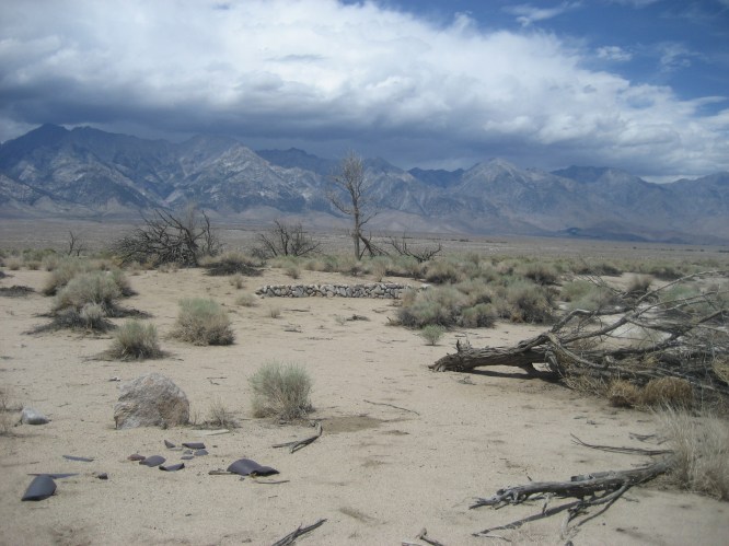
These are scenes of the hospital zone.  There was a full medical facility, separate doctors’ and nurses’ facilities, and as was the wont of the internes, a garden.
119

There was also a cemetery, and this cenotaph stands today, in honour of those who died during internment.

129

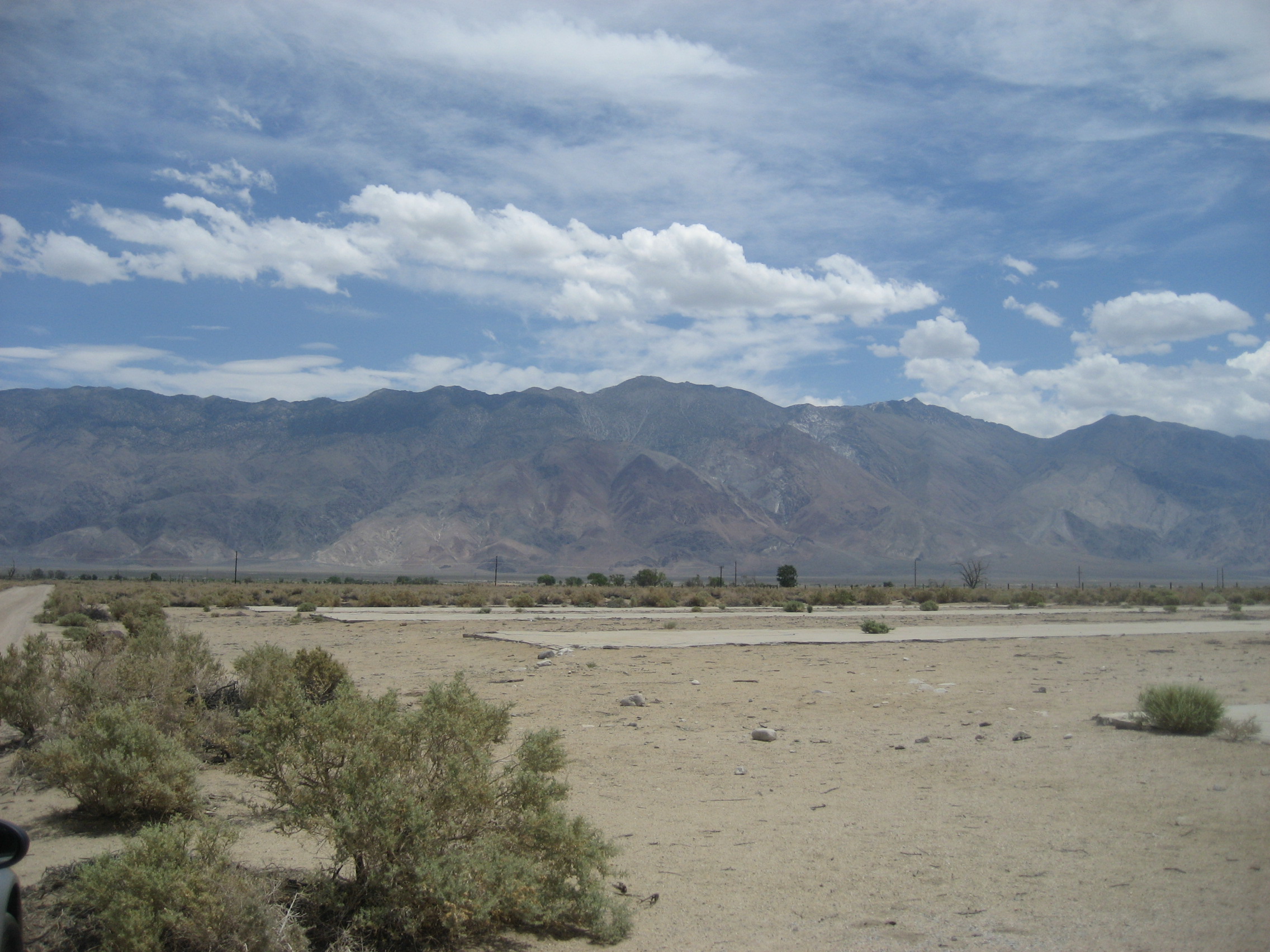
At the southeast corner of Manzanar, there is this slab, the remnant of a camouflage tent factory, where many internes worked, “for the war effort.”

136

This time in an American government internment camp was nearly as jarring, and as thought-provoking, for me, as my visit, about this time last year, to Berga, Germany, where Jewish-American and Hispanic-American POW’s were kept, in slave labour conditions, during the last months of World War II.  The difference was that the U.S. was, and is, a representative democracy, and Germany knelt to the whims of a few. The similarity:  Bigotry called the shots.

In 1988, President Ronald Reagan formally apologized to those interned, and to their families, and signed legislation which authorized $20,000 to be paid to each surviving victim.  This was the Civil Liberties Act of 1988.

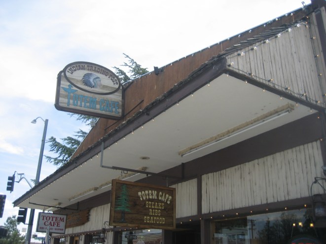
I drove, purposely, with the windows rolled down and no AC, from Manzanar to Prescott.  Stopping for lunch and a copious amount of iced tea, at Totem Cafe, Lone Pine, set the stage for this.  I came in to the pleasant establishment alone, but was followed by 28 other people, within ten minutes.  The couple running the place managed to keep everyone pleased, but I had some concern fro the wife, who had to brace herself on the back cabinet and apply a wet towel to her forehead, for several minutes.
140

My heart goes out to all those who work in the hospitality industry, during these days of triple digit temperatures, in so many places, around the globe.  I also stopped at Juicy’s Famous Riverfront Cafe, Needles, for an early supper, before heading on across the Colorado and back to base.  Juicy was a stray dog, who attached herself to the fire company in Needles, and to the hearts of the entire town.  That, alone, made it worth the stop.  The service is excellent and the food fine and dandy.

I got back to Prescott at 9:40 P.M., exulting in the drizzle and cooling temperatures, no worse off, for the heat, having plied myself with lots of iced tea and cool water, along the way. Oh, yes, and plenty of sunscreen was applied.

The Road to 65, Mile 212: The Sierra’s Back Door

5

June 28, 2015, Big Pine, CA-  I got my Nissan back in shape again, with a morning visit to Jiffy Lube.  Friends Wendy & Steve hosted a brunch, which was a group effort, and thoroughly enjoyed by all.  Then, I bid farewell to my Reno family.

Little did we know that, a scant thirty miles away, above Gardnerville, three vehicles, including an RV, had collided.  One of those involved was killed.  I was in the southbound five-mile line of cars.  Two hours later, I was in Topaz Lake.  While in the intermittently-moving line, I took these shots of the area.
034

035

The scene at Topaz Lake was rather quiet, away from the bordertown casino anyway.

036

Off to the west, the Sierra Nevada showed just a smidgen of snow, where there are normally several feet, even in late June.

037

The first town I entered in California was Bridgeport, already set for Independence Day.

040

I had a pleasant break and supper, at the lively Rhino’s Grill.  “Rhino” is the owner, not an item on the bill of fare.  Seeing so many families and couples enjoying the nation’s back roads does my heart good, as does being served by congenial folks, of all ages.

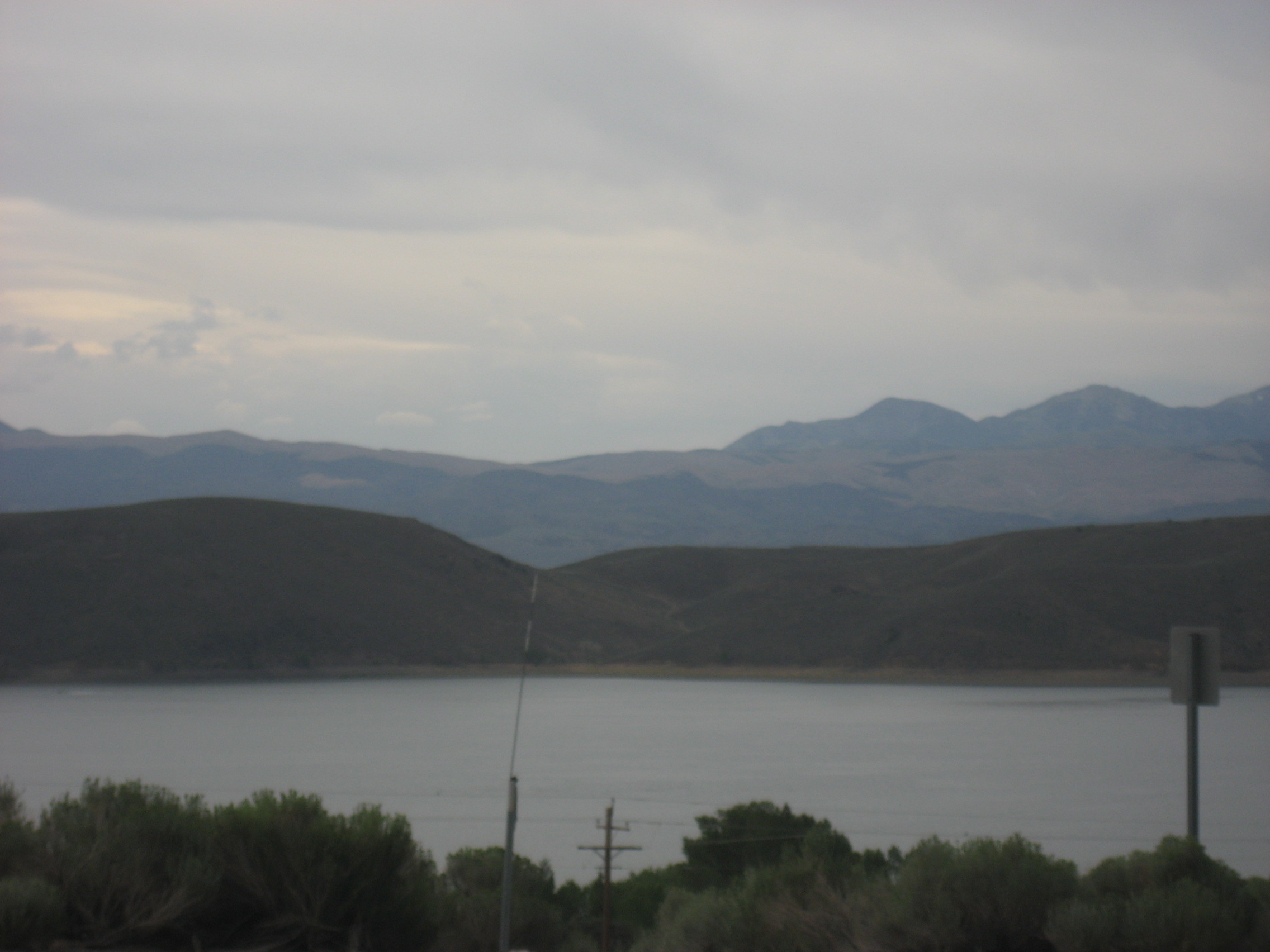
The last time I visited Mono Lake was in 1980.  It is about 1/3 smaller now.

041

This saline lake is still a gem, but an endangered one.

044

As I drove towards Big Pine, and my stop for the night, I caught a glimpse of a superb California sunset.

049

Then, as is its wont, the sky went to bed.

051

After all that waiting, and switchback-negotiating, the Nissan was just fine.  So was I, settled in at Bristlecone Motel, run by one of the town’s two mechanics.

The Road to 65, Mile 210: Oregon’s Multivariate “Big East”

5

June 26, 2015, Lakeview, OR- This day started in the sere brownness of Ontario, in the heart of the Great Basin, above the Snake River.  It was not too hot, as I made my way over to Gandolfi’s New York-style Deli, the closest thing in the Riverside area of Ontario, to a coffee shop.  The fare was satisfying, though the atmosphere was more motel breakfast room than comfy cafe.

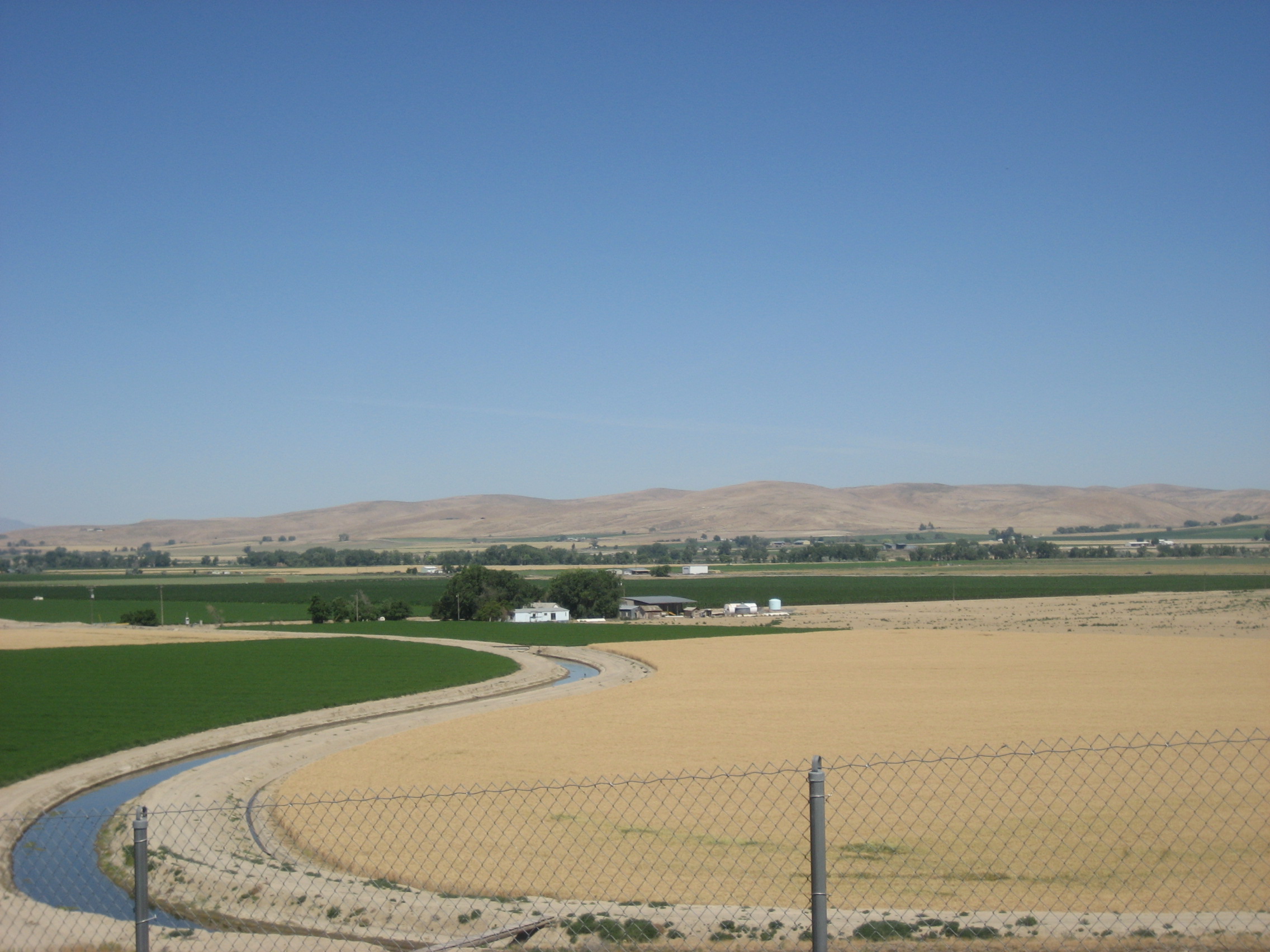
This is an irrigated agricultural area, and the landscape thus shows a striking contrast of colours.003 004

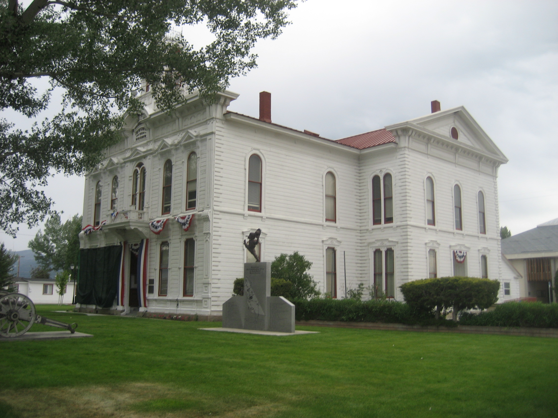
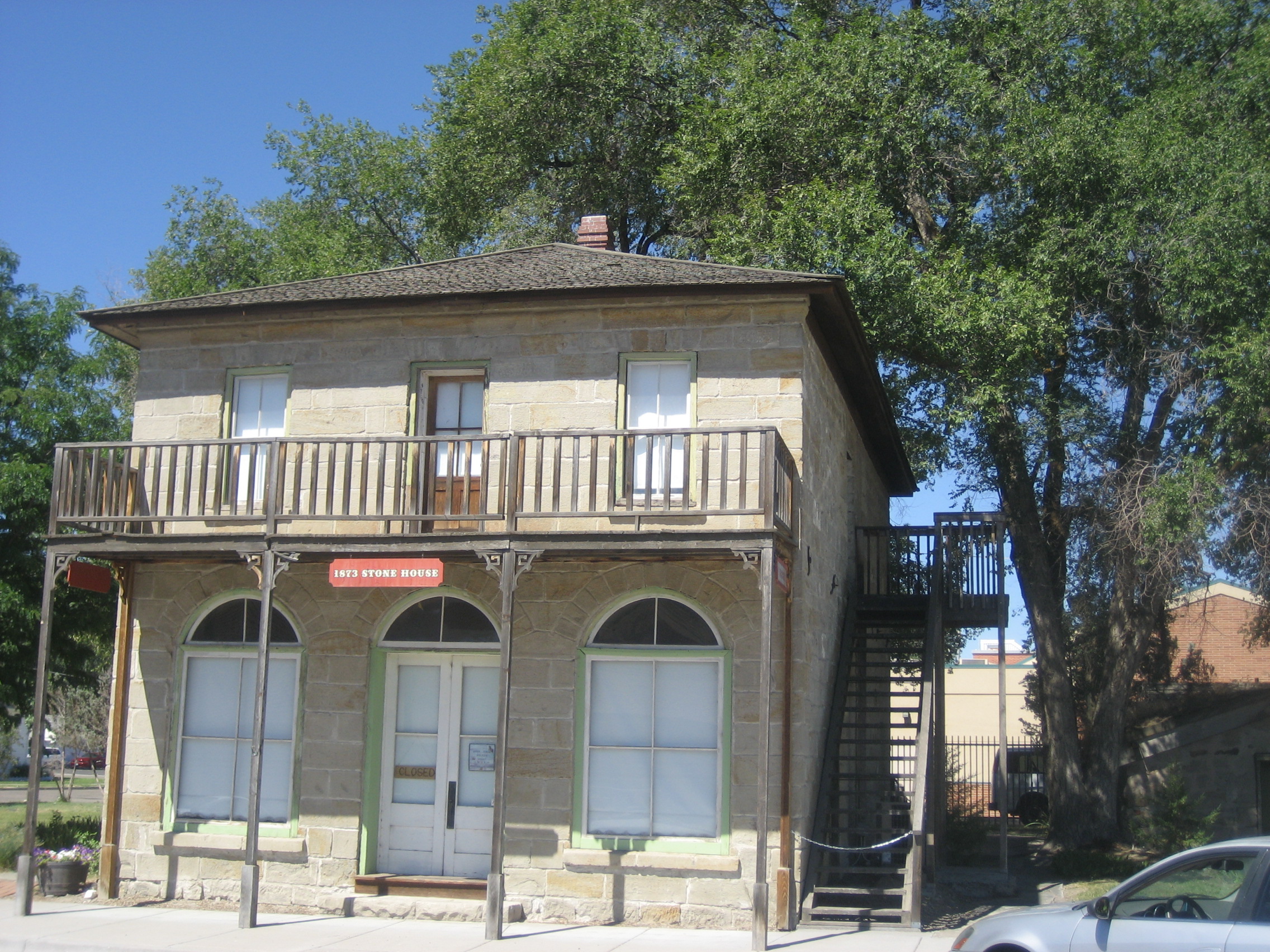
The small village of Vale, southwest of Ontario, is the seat of Malheur County, of which Ontario is the commercial hub.  Vale has a small historical museum, which was not open when I passed through, but was worth a look at the exterior. Eastern Oregon still has an Old West ambiance, in many places.

006

The Malheur River waters the area, gathering its tributaries, west of Vale, then heading towards the Snake River, south of Ontario.

009

After going through a barren section, once past the Malheur, there is a scrub pine forest that leads the way south, towards Burns.  This area reminded me a lot of central Arizona, just as the Snake River near Ontario resembles the Colorado, in western Arizona.014

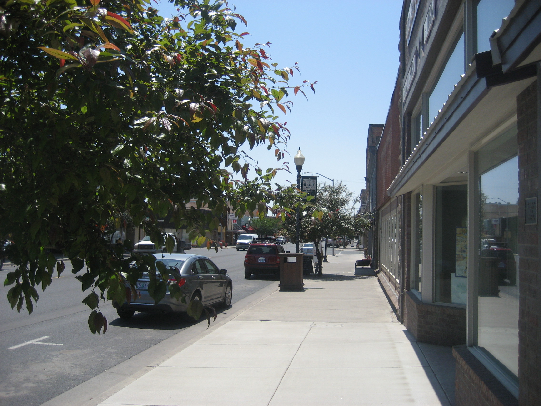
Burns, named for the great Scottish poet, Robert Burns, is a quiet, but charming little town, about two hours east of Bend. I was warmly welcomed at Broadway Deli, a bustling local hangout with freshly-made soups and sandwiches.  The ranchers also say it has great breakfasts.  All I know is, I could have stayed all day.

016

017

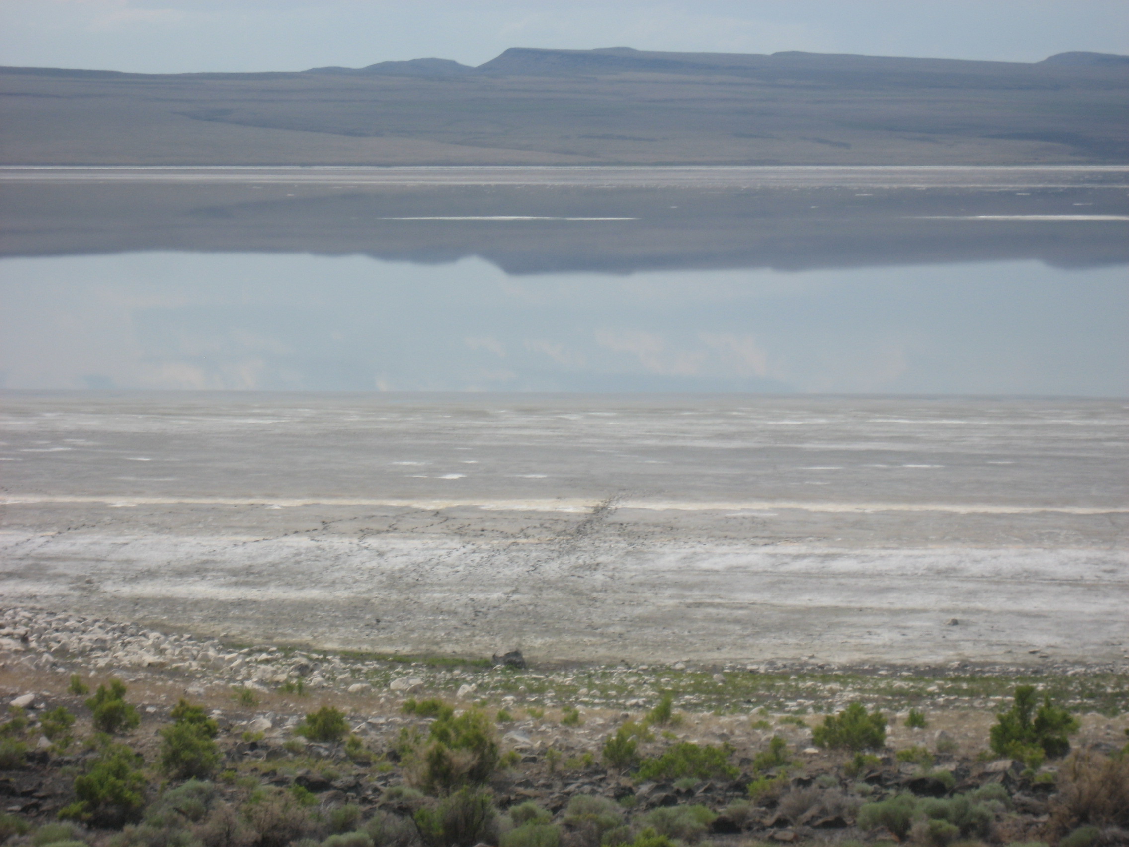
Once south of Burns, and its smaller sister city, Hines, the desert takes over again.  Ninety minutes later, I was in awe of the sere beauty of shrinking Lake Abert.  This alkaline lake is inhabited mostly by brine shrimp.

019

025

026

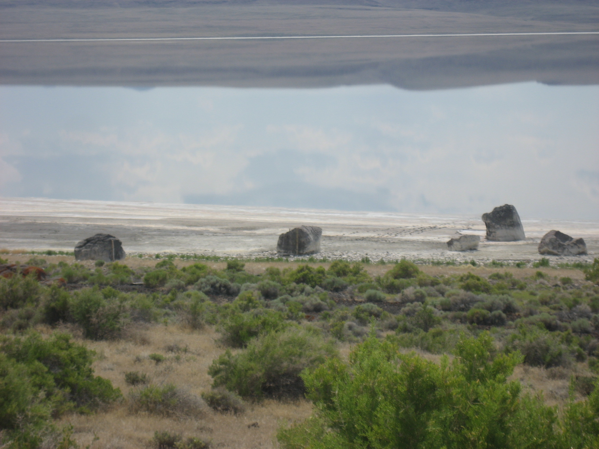
There are numerous iron-oxide infused basalt boulders on its eastern shore, which the Oregon Outback Highway passes.

022

Just as Oregon and California meet, the Warner Mountains look over Lakeview.  As I was coming into town, I spotted an Arabian horse, at the roadside fence, nervously shuffling on his back right haunch. Fearing he might be stuck, I went back to the driveway, where the owner went with me over to the pasture, and determined it was the beast’s arthritis acting up.  He was grateful for my concern, and hopefully tended to the poor creature.

027

A section of California took me through the rest of the afternoon.  Alturas is a small gateway community, with an Ag-Inspection Station, a dusty main street and Hotel Niles, an early 20th Century railroad stop.

030

I continued on, getting gas at the village of Standish and settling in for the night in Susanville, so named for the nearby Susan River.  Both are named for Susan Roop, the daughter of an early settler.  “Susan” was fairly lively when I first got there, as there was a country music festival at Lassen County Fairgrounds.  It wrapped up at 9 P.M., though, and most of the people there were my age or older.  It had been a lengthy drive today, and the car needed a good rest, so before checking out the tail-end of the hoedown, I had some fish fry at Kopper Kettle and took a room at nearby Frontier Inn.  Tomorrow, I will head over to Reno, for a day or so, and catch up with the Nevada Family.

The Road to 65, Mile 209: A Triangle of Towns, Part 3- Lewiston and Its Two Rivers

0

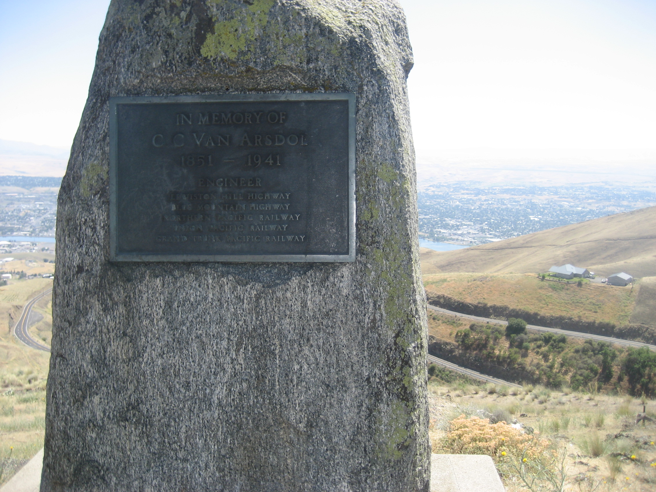
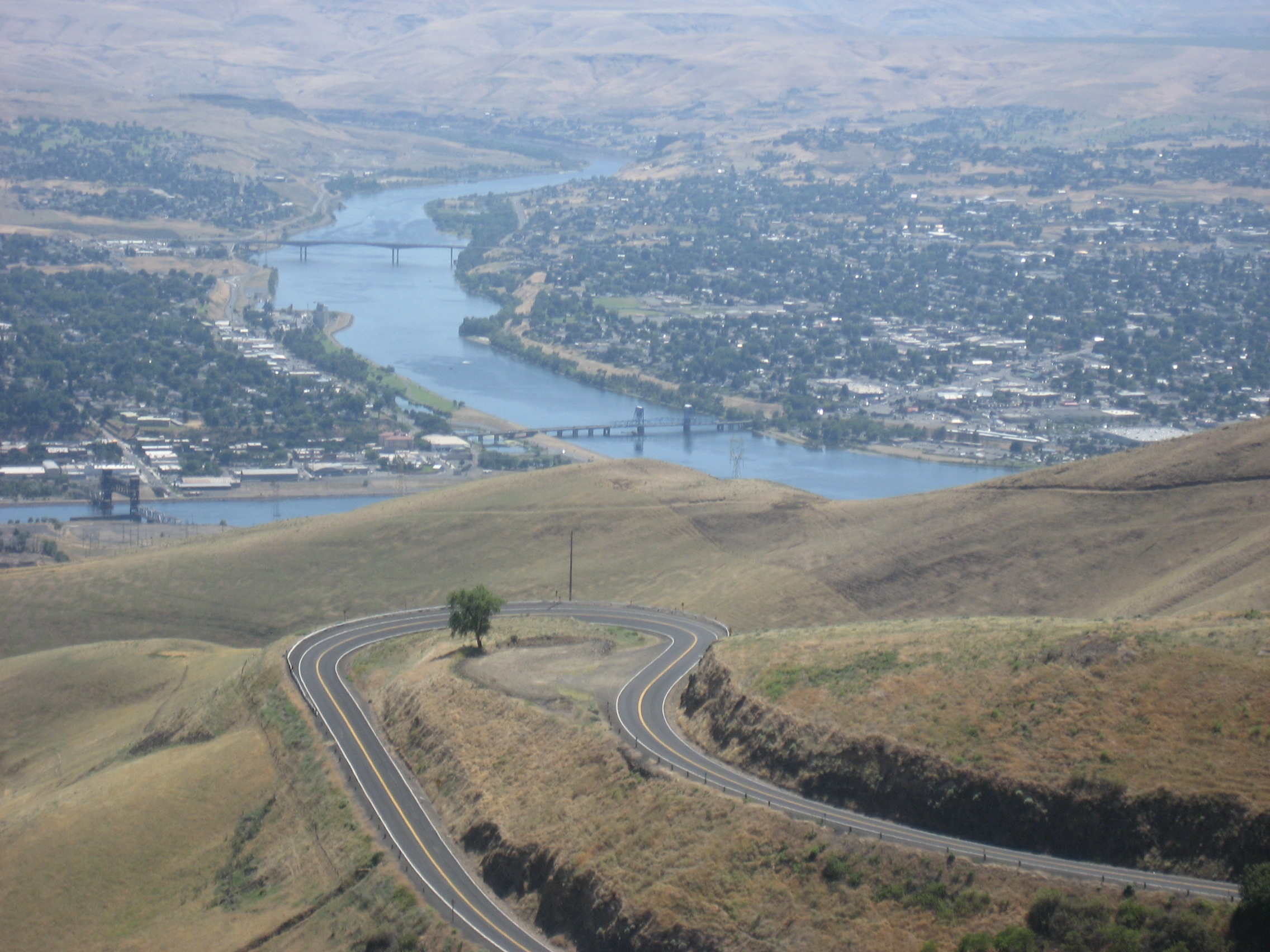
June 25, 2015, Lewiston, ID- This eastern half of the Lewis and Clark twin cities announces itself from a place at the foot of winding path, coming down a steep desert hillside.

357

359

Like so many Inland Northwest towns, Lewiston presents a charming and arts-oriented downtown.  Named for Meriwether Lewis, it has, as a centerpiece, Lewis and Clark State College’s Center for Arts and History361

Revolving art exhibits take center stage, on the first floor.  On the day I visited, the Sandpoint-based artist, Kelly Price, offered an astonishing array of Sacred Circles, making a very strong case for the interconnectedness of all things in the Universe and the security which may be found within an orb. Ms. Price’s exhibit clearly shows the universality of the notion that the circle, symbol of completion, is universally held sacred.  (As is my practice, no photos were taken of her exhibit, nor of the presentation of Scott Kirby.)

Price_WEB_475x226

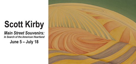
Scott Kirby, a pianist based in Boulder, CO, transitioned into painting scenes of the Great Plains, after an afternoon of drawing and painting with his daughter.  The flow of his art work certainly evoked a vibrant musical background.

KIRBY_WEB_463x220

On the second floor of the Center, lies a tribute to suffering and perseverance:  Beuk Aie (“Buckeye”) Temple.

363

The Temple was built by immigrants from Guangdong, China, who practiced a particular blend of animism and Buddhism, which called for this sort of temple to be used in worship.  It was housed in two consecutive structures, until 1959, when the second structure fell into disuse.  The sacred altar and relics were preserved by Mr. Ted Loy, a Lewiston businessman, until his death in 1981. They were then curated by his family and transferred to Lewis and Clark Community College, for safekeeping.

The Beuk Aie Temple also serves as a memorial to the 34 victims of one of the many shameful incidents of persecution aimed at Chinese residents in the Pacific Northwest:  The Deep Creek Massacre.  In May, 1887, the victims, all miners from Guangdong, were slaughtered by White miners in Wallowa County, OR, who then took the gold that the Chinese men had mined.  While the identities of those involved were determined by investigators from Lewiston, the State of Oregon, which had jurisdiction in the case, found no one guilty.  There is a memorial plaque on the Oregon side of Hells Canyon, but there the matter has rested.

368

In fairness, the people of the Pacific Northwest have made enormous strides in White-Asian relations, and the major source of friction in the Nineteenth and early Twentieth Centuries was mainly economic.  Then again, isn’t it always?  Fighting over crumbs seems to be our wont, as a species.

My thoughts turned to the indigenous residents of this area:  The Nez Perce Nation, symbolized by their leader, Chief Joseph (“I will fight no more, forever”) and the Shoshone, symbolized by Sacagawea, the woman who guided Lewis and Clark through this then rough wilderness.

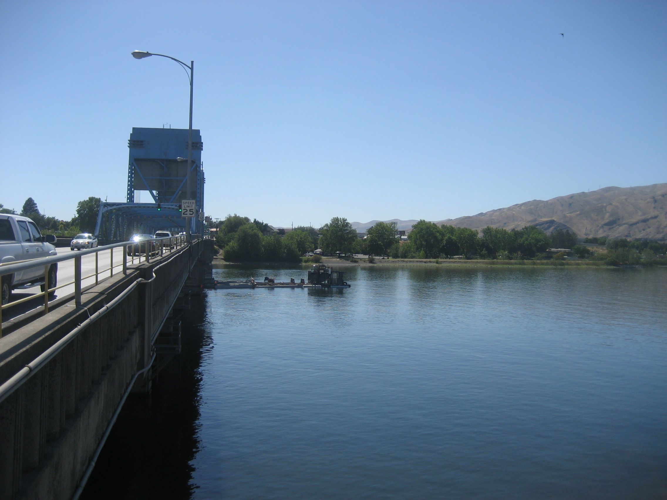
The confluence of the Snake and Clearwater Rivers has been a key resting and gathering place for humanity, for thousands of years.  Now, a bridge connects Lewiston with Clarkston, WA, which I did not visit this time, as a walk along the Idaho side’s Riverwalk captivated me for nearly an hour, before it seemed time to head down to Lapwai, Nez Perce Nation and further south.

373

383

The people of this area feel a great connection to the Pacific, which both feeds, and receives from,these great rivers.

378

The Lewis and Clark Pavilion, at the northwest corner of the Riverwalk, honours the explorers and Sacagawea.  A sculpture with her likeness graces the entrance to the small kiosk.

381

I will come back through here, and spend more time in both Lewiston and Clarkston, as well as connecting with a Baha’i friend who I did not realize lives in Lewiston.

After having dinner at Donald’s Restaurant, in Lapwai, it was time to move through the salubrious mountains and canyons of western Idaho.  Hell’s Canyon would have made for some fine photos, but the traffic was horrible, so I went further, to Salmon River Canyon.

388

This trestle is one of seven built between Lewiston and Grangeville, to help move gold and other goods.

385

The area is among the most rugged parts of Idaho, which is saying quite alot.

390

The rest of the day’s drive was through more sanguine territory, from Grangeville to Payette, then east to Ontario, OR, and a rest at the Oregon Trail Motel.  The Beaver State’s Big East awaited.