December 31, 2014, Prescott- I woke up around 6:30, on New Year’s morning, 2014, and knew that this would be the year I would hop on board a plane and head over to Europe. Exactly where, and for how long, remained subject to the vagaries of substitute teaching and my investment income. All year long, though, things that were meant to happen did, and other things had to be consigned to a later time.
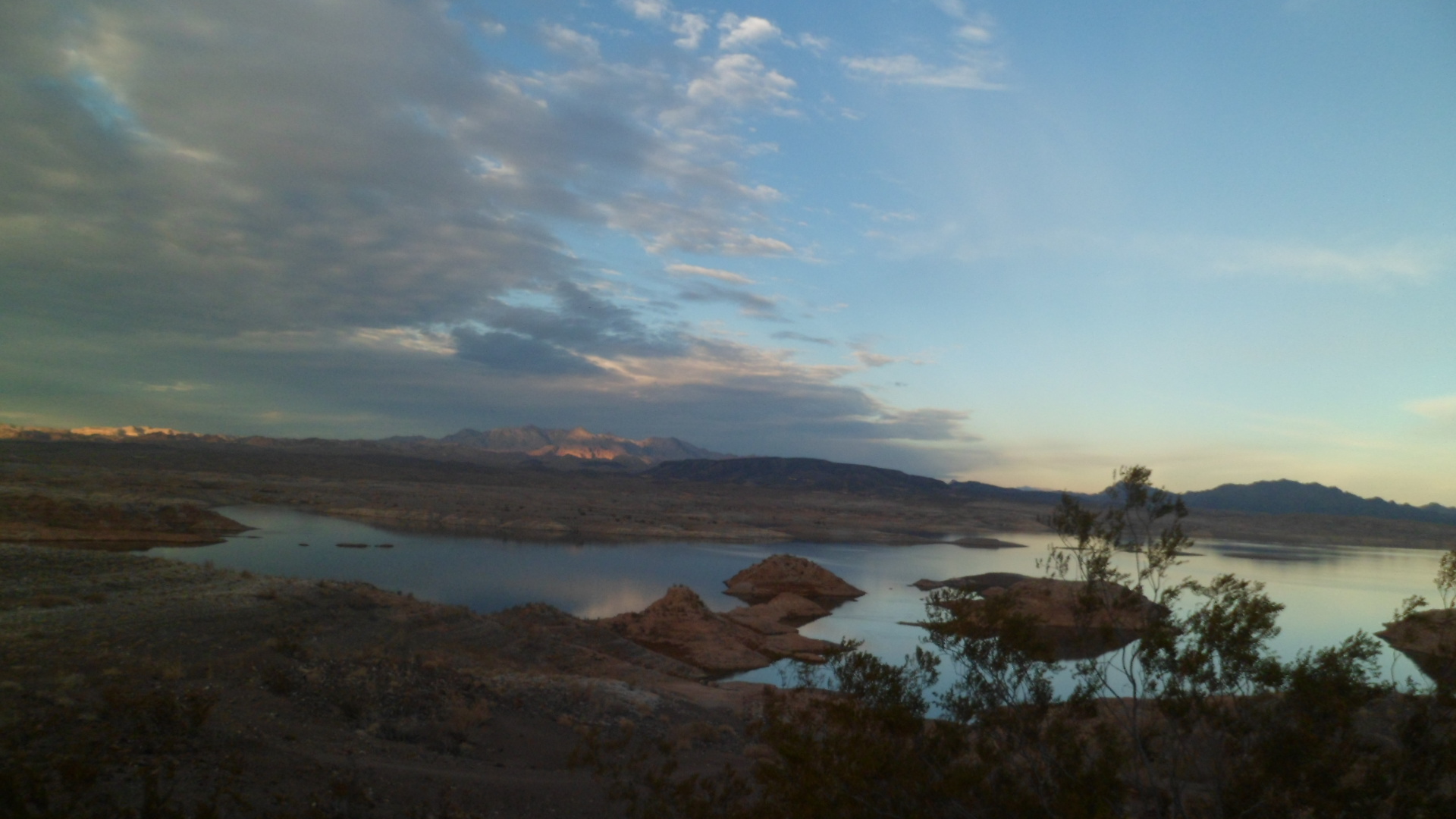
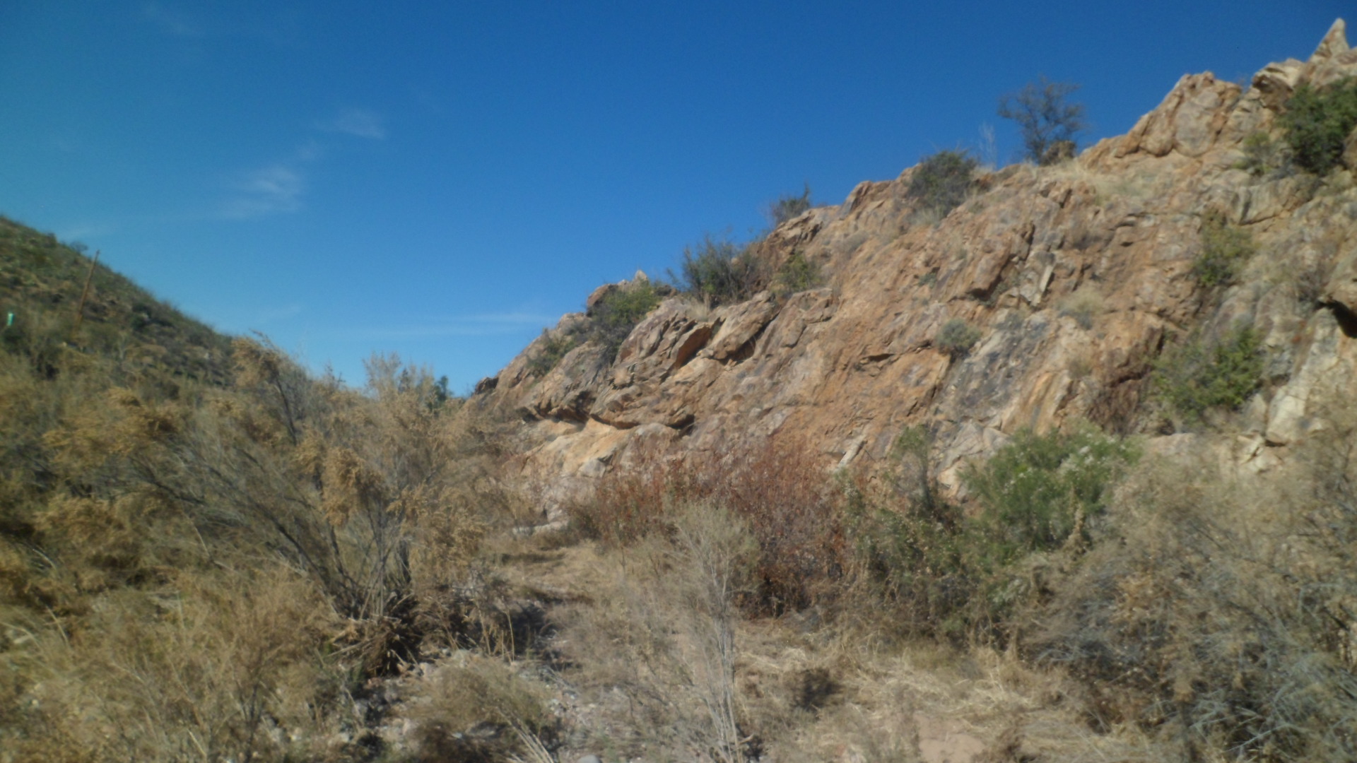
January- The Boot dropped, on Whiskey Row, right at 12 Midnight, as I sipped the hot chocolate I had bought, fifteen minutes earlier in Devil’s Pantry. The rest of the month brought lots of hiking: Tucson’s Bear Canyon and Seven Falls, the depths of Kartchner Caverns,Casa Grande Ruins, Cave Creek’s Go John Trail, the northern portion of Black Canyon National Recreation Trail, a march through downtown Prescott on Martin Luther King, Jr. Day. It was a rather dry month.
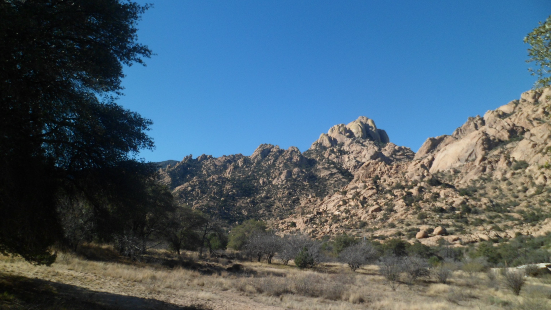
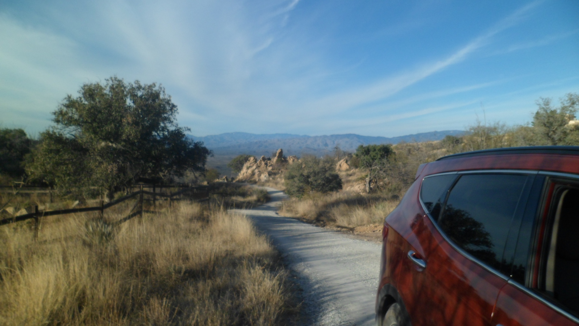
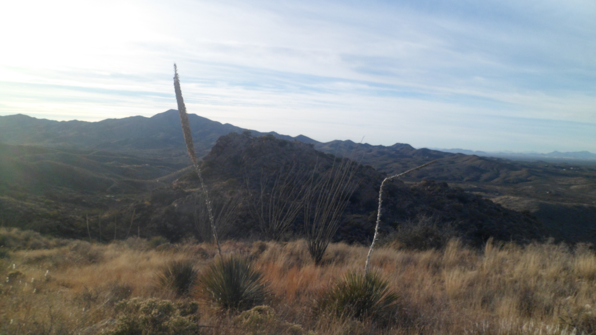
February- I started the month by presiding over the Four Chaplains Commemorative ceremony, at our Legion post, went most of the way up Harquahala Peak, visited Desert Rose Baha’i Institute, studied my Faith a lot, and prepared for the sale of the house where I had lived for the past 2 1/2 years. We said goodbye to the unofficial “greeter” of Willow Creek Gardens.
March- Three years had passed since beloved Penny left her pain behind. I moved. Then, I went on an errand of mercy and tribute, to Denver-in a U-Haul, and made it safely through the blizzard that greeted me, just north of Pueblo. It was a fabulous little impromptu community, first at Walsenburg, then at Colorado City, which made things a whole lot easier. We who had to negotiate the snow, stuck together. On the Ides of March, I learned about a Loyalty Rewards Program; how ironic. The next day, we Legionnaires paid homage to those who left us since last March. We refer to the departed members as ” Post Everlasting”. Aram headed out on deployment, for seven months, on the last day of Winter. I saw him and the ship off, then joined other Baha’is, in San Clemente, for Naw-Ruz, the Baha’i New Year. Blue Herons and Egrets were plentiful at Dana Point and on Doheny Beach. History abounded in San Gabriel and Redlands. An International Dinner ended the month, at home.
April- My little apartment began to feel homey. I did not stray far, this month. The next several will be peripatetic enough. Prescott held the photo session for its Sesquicentennial. I would miss the real deal, on June 30, but one can’t be everywhere. Affairs of Faith dominated, as they do every April, on the Commemoration of the Declaration of Baha’u’llah, as to His mission. We call it the Festival of Ridvan, after its venue. It last twelve days, April 21-May 2.
May- My father-in-law, Norman Fellman, had been getting progressively weaker. He passed away, on May 7, at the age of 90. Few affected my life in so powerful a way. Pop held the bar high, but he’d occasionally help us over it, either with encouraging words, or his left foot- whichever he thought best for the situation. Mother’s Day was surreal- a silent breakfast with my heart-broken MIL, followed by the flight back to Phoenix. I would come back, three weeks later, to catch a flight to Frankfurt, Germany. In the meantime, more heartache struck. A little Baha’i child drowned, and a large gathering honoured his life, in the western suburbs of Phoenix. The month ended with my landing in Frankfurt, and getting a good day’s rest at the Q-Green Hotel.
June- This was a dizzying, dazzling and endearing month: Paris, with Tuilleries, Louvre, Tour d’Eiffel, Hotel Monte Carlo,Versailles- both palace and town, the residence of ‘Abdu’l-Baha during His 1911 visit to Paris, Montmartre, and Champs Elysees, the Roma along the Seine and the various refugees in the Metro;
Rouen, home of my paternal ancestors, prison cell and execution place of Jeanne d’Arc, Hotel Morand,Vieux Marche, my first glimpse of a great cathedral, Roman fortifications, hungry swans in a pond behind a church, Feast with local Baha’is, Palais de Justice;
Utah Beach, and the 70th Anniversary of D-Day, tanks on the beach, hordes in the village square of St. Marie-de-Mont and a couple of roundabout taxi rides;
Mont St. Michel, every bit as inspiring and cacophanous as I’d been told, a place of legends;
Rennes, capital of Brittany, more remparts, the great House of Brittany’s Parliament, more grand churches and forts, Hotel Grande Bretagne, a sad and lonely teenager, sobbing for her friends, engaging street people;
Vannes, great showcase of Breton culture, fascinating walks in the hills above town and along the quay, a large duck pond-off the beaten track, and cuisine lovingly prepared and served by Madame Virginie, side trip to magnificent Carnac;
Brest, the American Memorial, Le Chateau de Brest, “Speak Breton, forget French!”, the exasperated Cyber cafe proprietress, the helpful hotelier, leaping onto the early train back to Rennes;
Amiens, the canals, the great botanic gardens, bright nights, Jules Verne’s memorial, the helpful student, Restaurant Kathmandu, the Peace Church, the great cathedral, no one there named M. Foucault;
Lille, Hotel Balladins, the Cyber Laundry, the grand Arts Palace, one of the biggest City Halls ever, Paris Gate and Tournais Gate;
Bruges, a welter of medieval streets, Historium, first time dipping French fries into mayonnaise, flinty-eyed Flemish householders;
Ghent, officious train conductor (reminded me of Anthony Perkins, playing Inspector Javert), lovely Hotel Sint Pieters, more canals, saucy but adorable Flemish schoolgirls, Gravensteen, the Old Butcher’s Market, Turkish emigres in the New Quarter, interplay between hills and riverfront;
Brussels, chaotic, graffiti-ridden, bilingual, snarky coffee house baristas, inquisitive German schoolkinder, World Cup Victory Gathering at the Bourse, Hotel George V, vibrant Algerian neighbourhood, sweet-natured Italian couple and their Pizzeria Bella, Palais Royal, the Central Square, the Baha’i Centre near an apartment complex;
Bastogne, Batttle of the Bulge Memorial and Museum, Place McAuliffe, Hotel Leo, the train car as restaurant, vibrant teens at a music festival, happy young family at dinner, tough British motorcyclists with hearts of gold, the helpful drunkard at the bus station, Loup Garou;
Luxembourg, astonishing fortresses of two time periods,bustling Financial District, quiet neighbourhood of the Baha’i Centre, Monument to the Martyrs of World War II, Place Guillaume II, Hotel Vauban, Dani Kohll and Felix Schaber, the Luxembourg Philharmonic Plays Disney, a Sunday brunch in a Baha’i family’s garden, a great small nation honouring its sovereign;
Metz, Residhotel, Jardin de L’Eau, teen lovers seeking solitude, people eating lunch along the river, on a busy workday, everyone out in force on a Sunday evening, boys teasing an Arab girl and getting their comeuppances, a little boy’s first encounter with ducks, the German Gate, the enchanting woods, Bellecroix, the disaffected North Africans and their high rise ghettos;
Strasbourg, modernistic train station,hipster hotel manager, venerable cathedral and chateau, spacious and vibrant central park, supremely welcoming Baha’i community(They all were, but this one especially so), interesting city tour by night;
Heidelberg, three hour wandering through University District, walk along the Neckar, Robert Bunsen,gazing upward at Heidelberg Castle, pleading housewife seeking directions;
Frankfurt– The Dom, the bustling, enjoyable Main Walk, delectable Bosnian lamb chops, the long-suffering clerk at Penthostel, the Baha’i House of Worship at Langenhain,bratwurst and friendship in a small wurst haus, a night walk around the Messe and ignoring the working girls along the route;
Gera and Berga– Resurgence in the once downtrodden East, bumbling while trying to exit a city bus, engaging drunkards in a surreal conversation, a view of the mine where Pop worked as a prisoner, standing in front of the V-1 Rocketwerks, eating frozen yogurt in a quiet section of Neu Berga, a small memorial to those held captive in the Nazi Era, the POW barracks.
Part II of this retrospective: July-December