The Road to 65, Mile 200: Southeast IS Northwest, Day 9- Skyward to Ketchikan

1

June 16, 2015, Ketchikan- Actually, the flight from Sitka to Ketchikan lasts 49 minutes.  My friend in Sitka gave me a ride over to Gutierrez International Airport (all border fields are “International”), and from there it was a puddle jump, though in a conventional aircraft that was going from Anchorage to Seattle.

The Ketchikan Airport is on Gravina Island, from which one must take a $6, five-minute ferry, to the city proper, then a $5 taxi ride to the Main Ferry Terminal, from whence a city bus will take the visitor downtown.  I was told the Gravina Bridge was the Bridge to Nowhere that was never completed.  It was not a big deal to me- just a half-hour or so, of local colour.

Ketchikan does have its share of colourful characters, at all points along the human spectrum.  I found myself next to a tough fishwife who was loudly telling someone over the phone about how f*%#@ crazy her teen daughter was acting, as the girl was standing there, rolling her eyes.  A few minutes later, I arrived at the Methodist Church, where the kindly  pastor-emeritus welcomed me to their hostel and explained that only a church-approved Internet connection was available.  Since that link was not working, I ended up going to two different places to WiFi, the next day.  The hostel itself was adequate to my needs, otherwise.

My Ketchikan circuit began at the Tongass Visitors Center, a US Forest Service facility, which does an excellent job at explaining the various aspects of Tongass National Forest, its creatures, the surrounding sea and Man’s interaction with all of them.  There is a complicated balance at play here:  A thin soil layer, trees growing seemingly atop one another, the Native Alaskan understanding of land and sea use, European notions of said use and climate change- which is affecting the area far more dramatically than some other parts of the world, and people on Revillagigedo Island (pronounced by locals as it looks- Reh-vill-ah-GIG-eh-do), on which Ketchikan is located, are less skeptical of the changes than some are, elsewhere.685

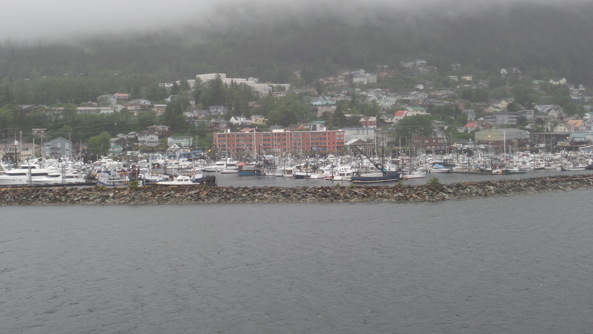
Prior to a meeting with friends, later this evening, I made a circuit of the harbour, Ketchikan Totem Heritage Center, City Park, Married Man’s Trail and back to downtown.  As you can see, the fishing part of Ketchikan is very lively.

688

Stensland Bayside is constantly being dredged and monitored, for seabed shifting, due to low-level seismic activity.

693

Thomas Basin, the older of Ketchikan’s marinas, is the favoured mooring for Tlingit fishermen.

695

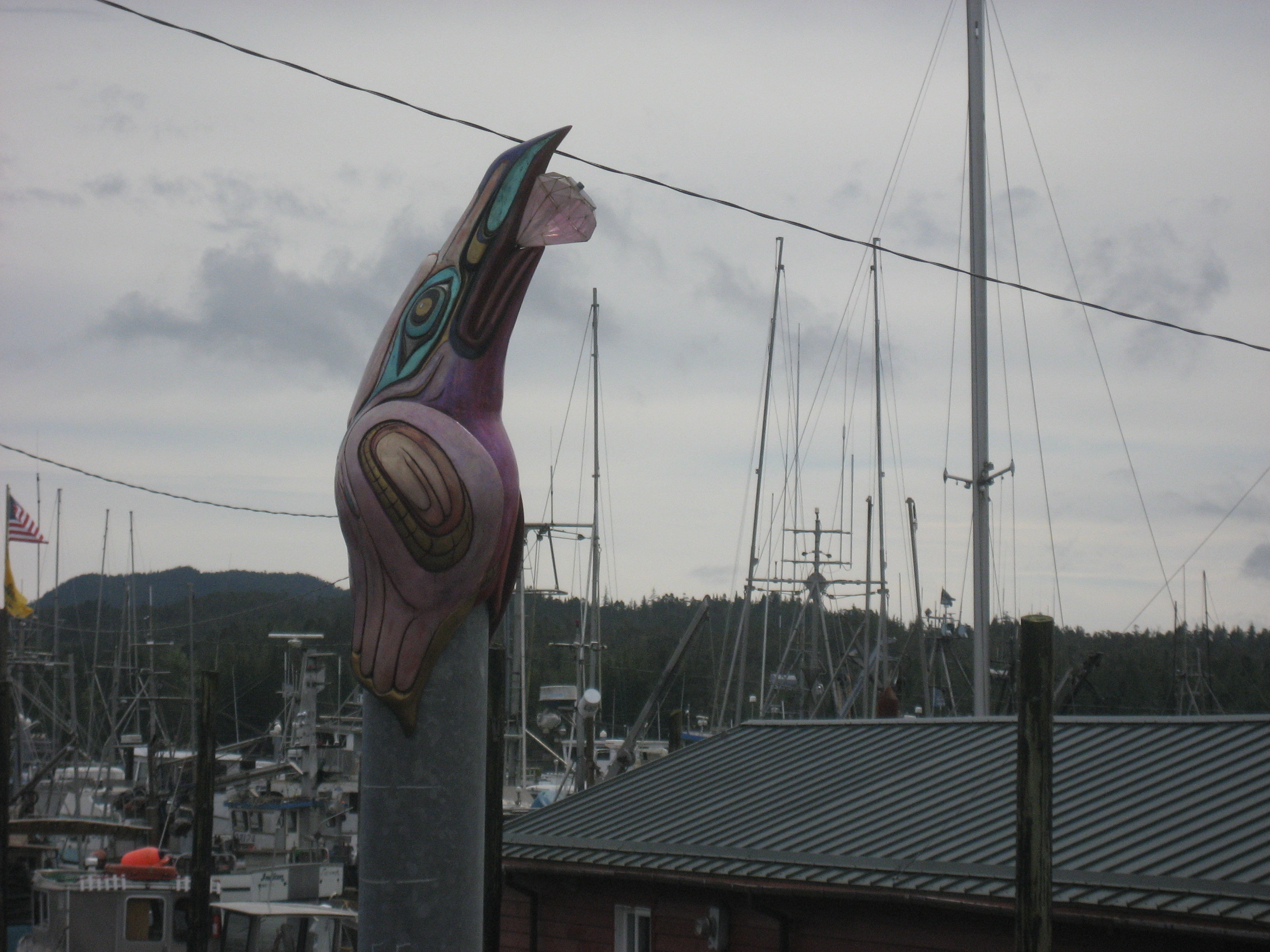
Traditional totems adorn the wharf.

698

706

I walked up through the Ketchikan Native Community, to this thoughtfully-prepared facility.

710

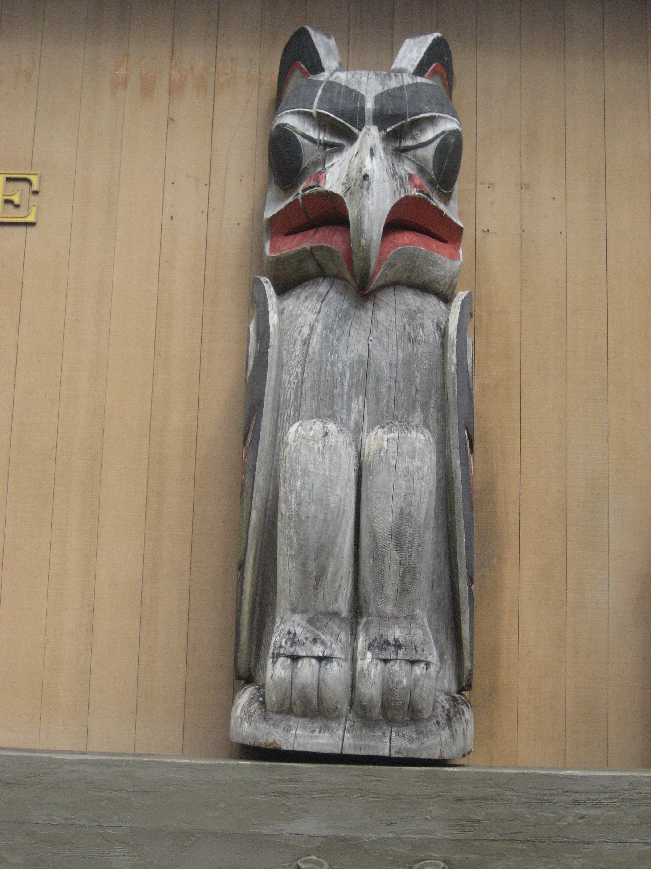
Both indoor and outdoor totems adorn this lovely park.  A docent does double-duty, between here and the Tongass Museum, a city property, not to be confused with the USFS Visitor Center.

711

713

716

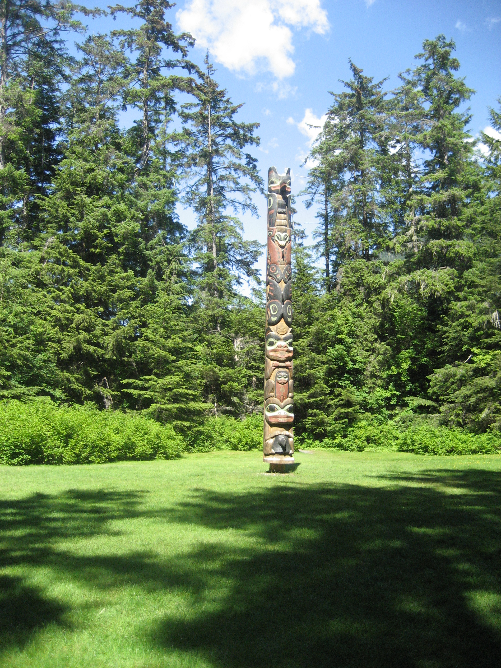
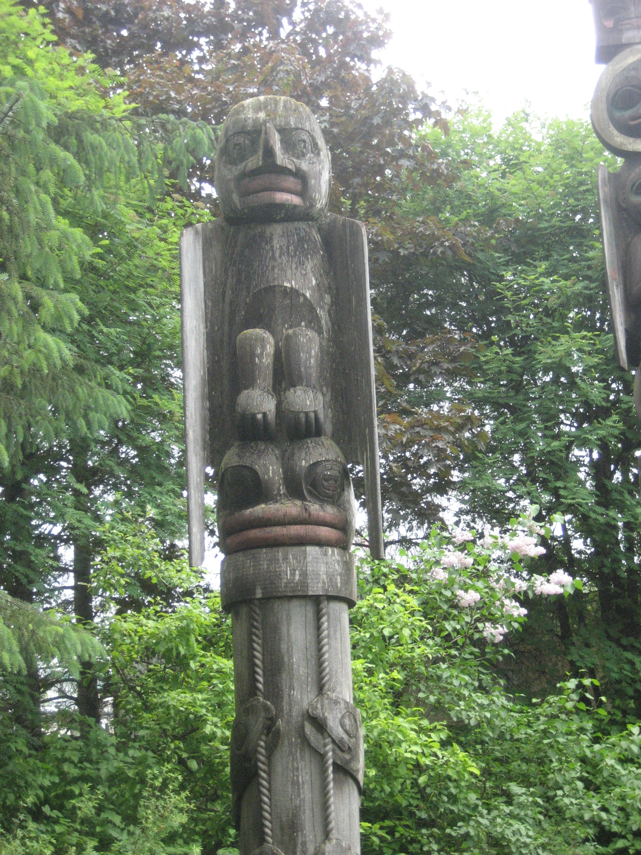
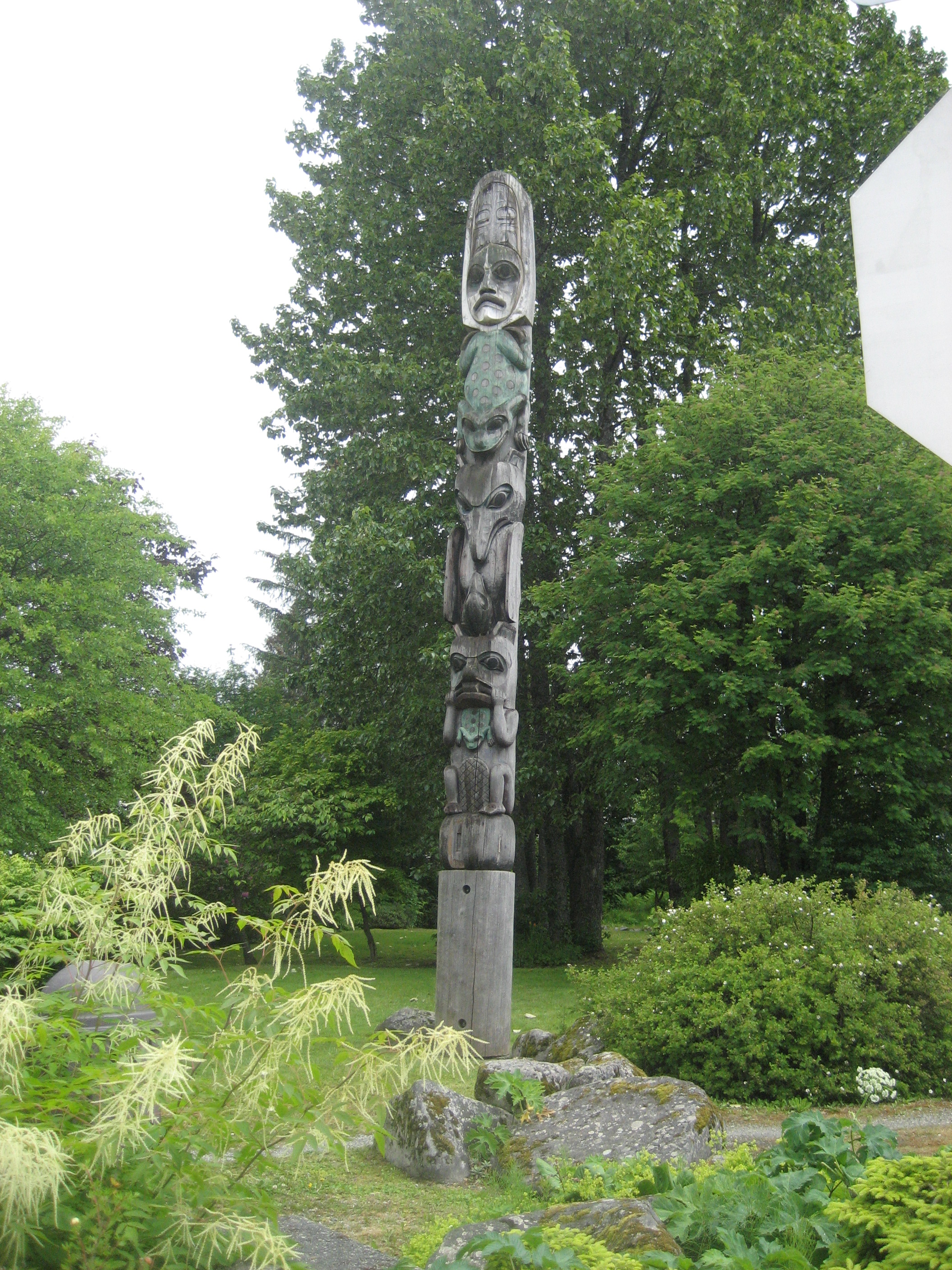
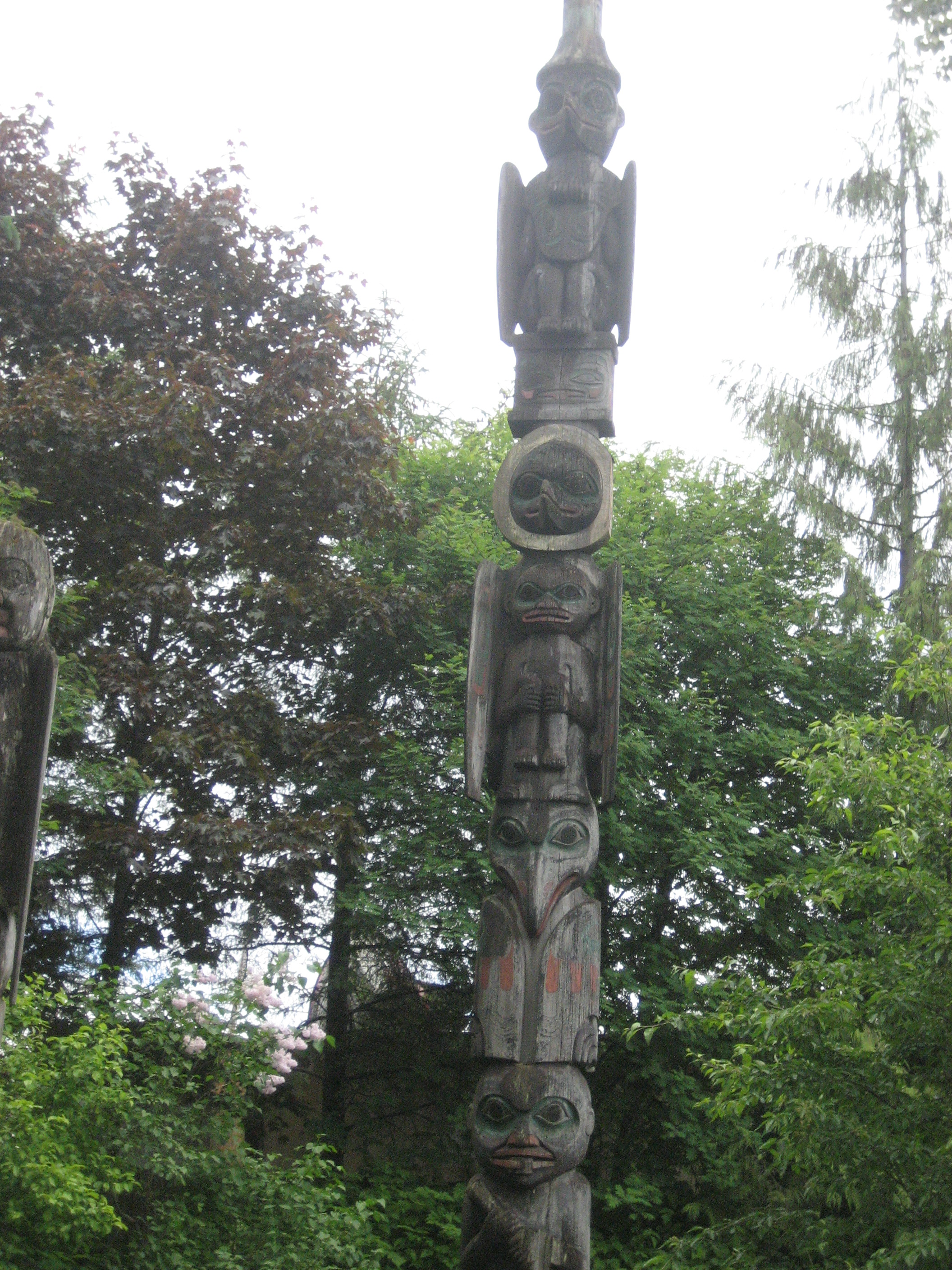
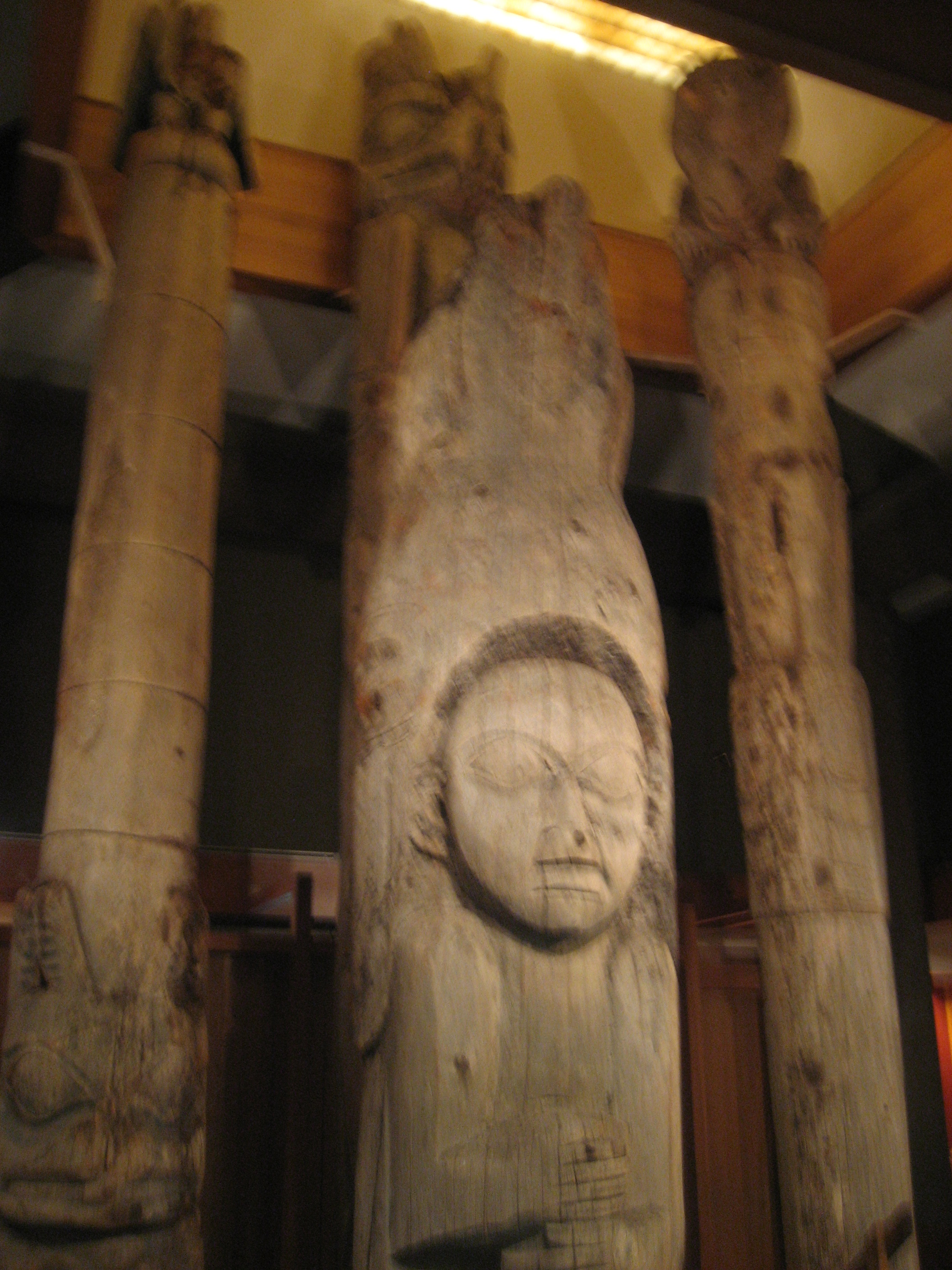
As you might have guessed by now, totem poles come in all heights and tell various stories, depending on the clanship of the carver(s).  Below, is one of the original Tlingit totem poles in the Ketchikan area.
721

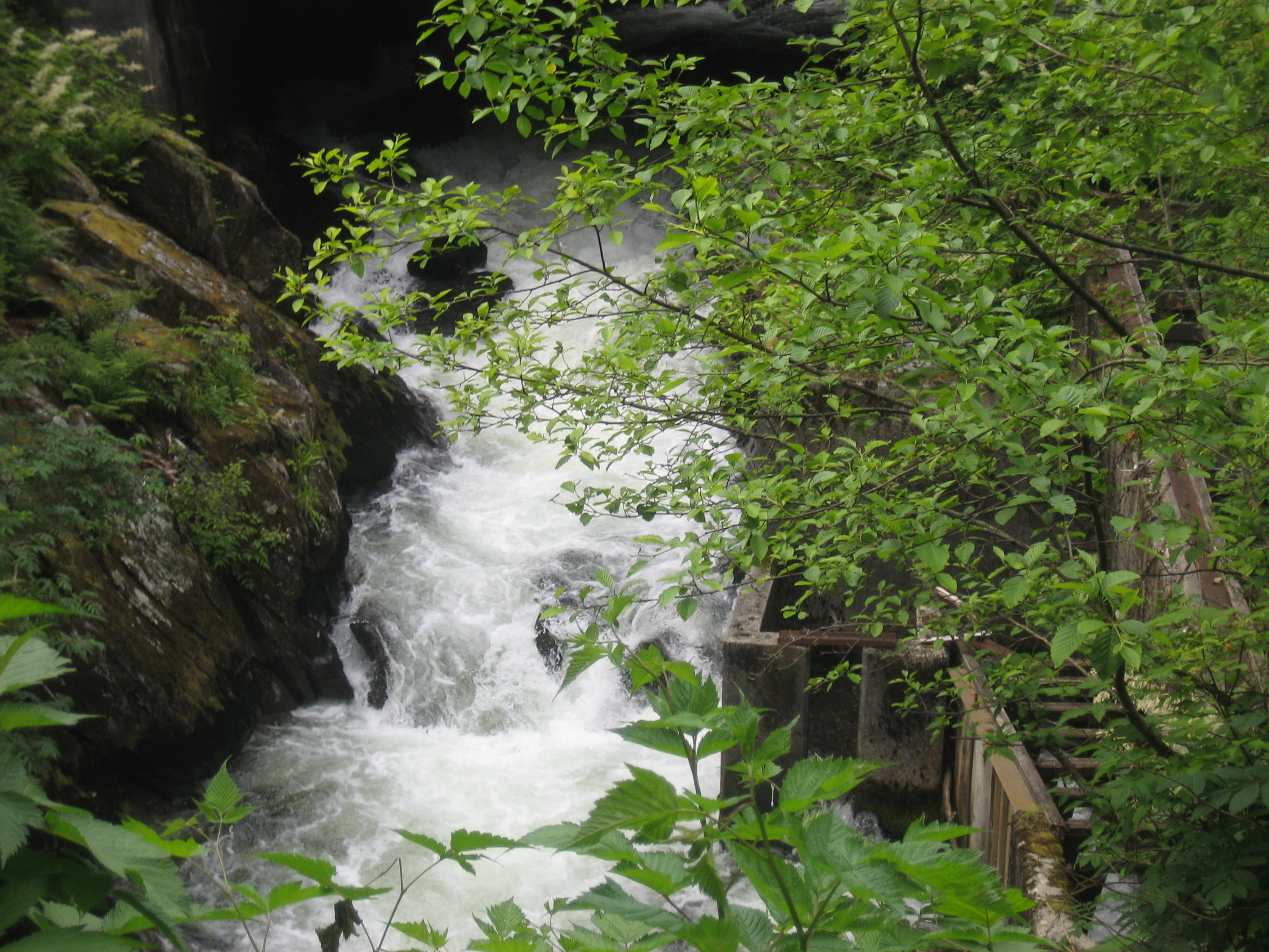
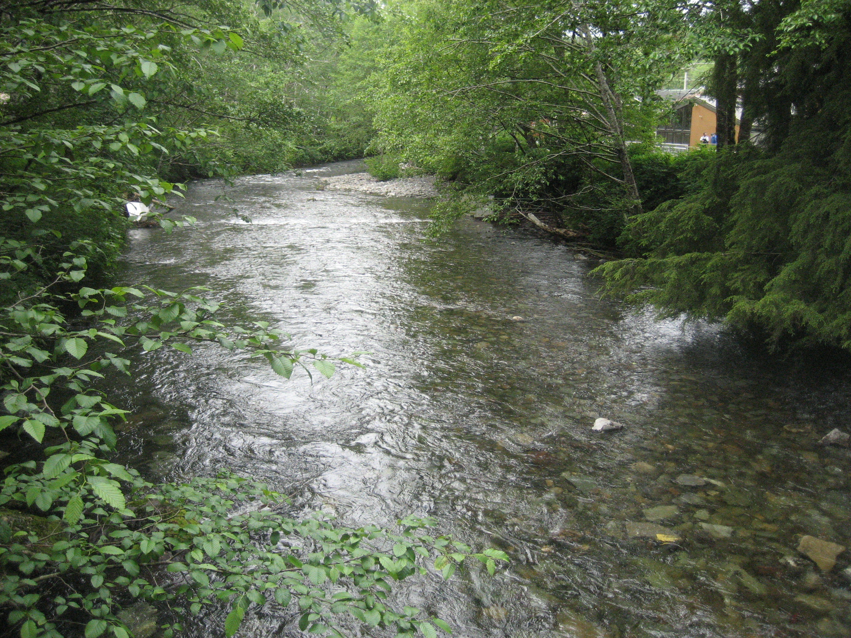
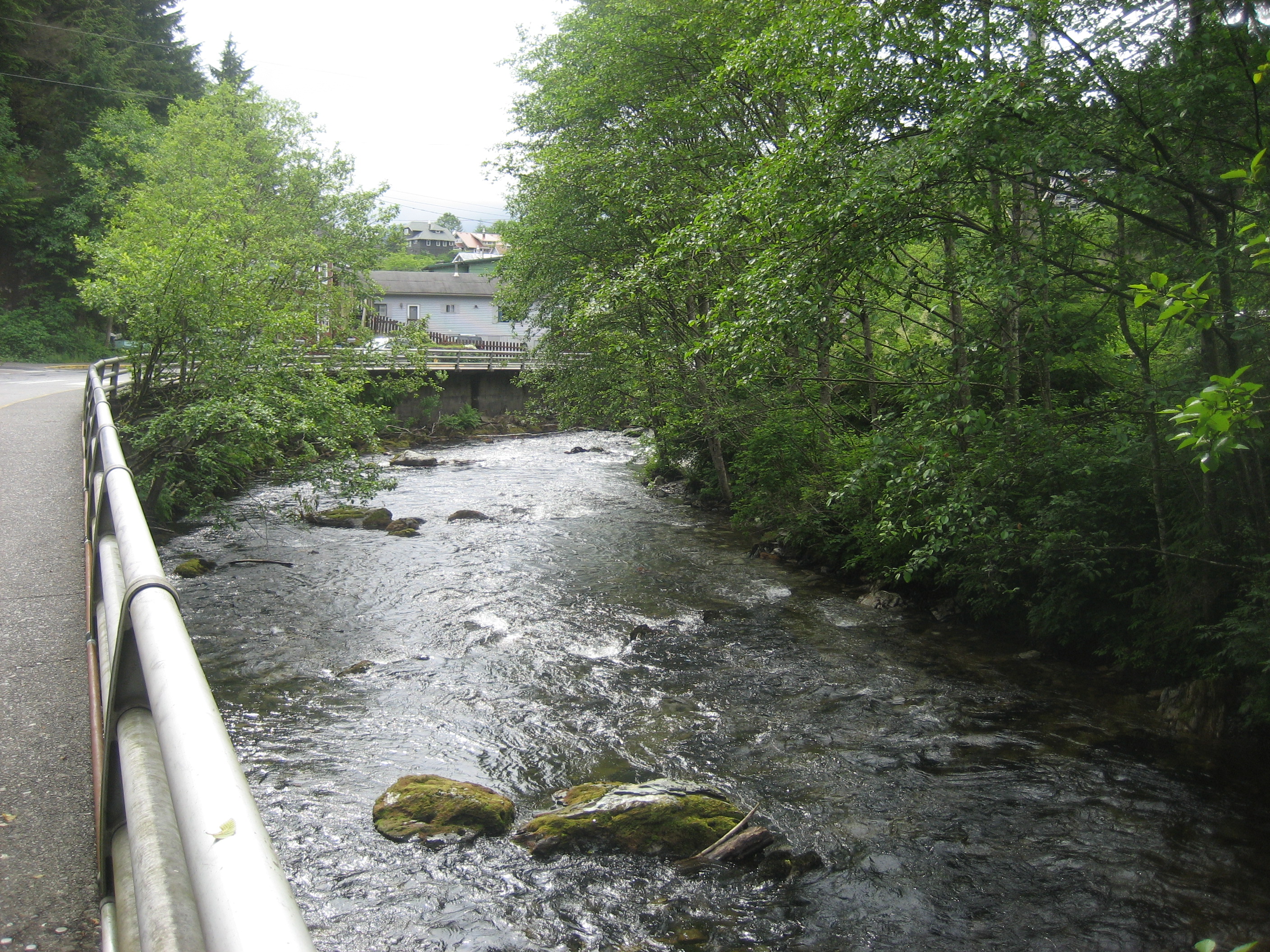
I followed Ketchikan Creek, from City Park, where it helps with a series of salmon ladders, to its confluence with the sea, near downtown.
719

730

The thin soil and the water action leave trees to fend for themselves, root-wise.

736

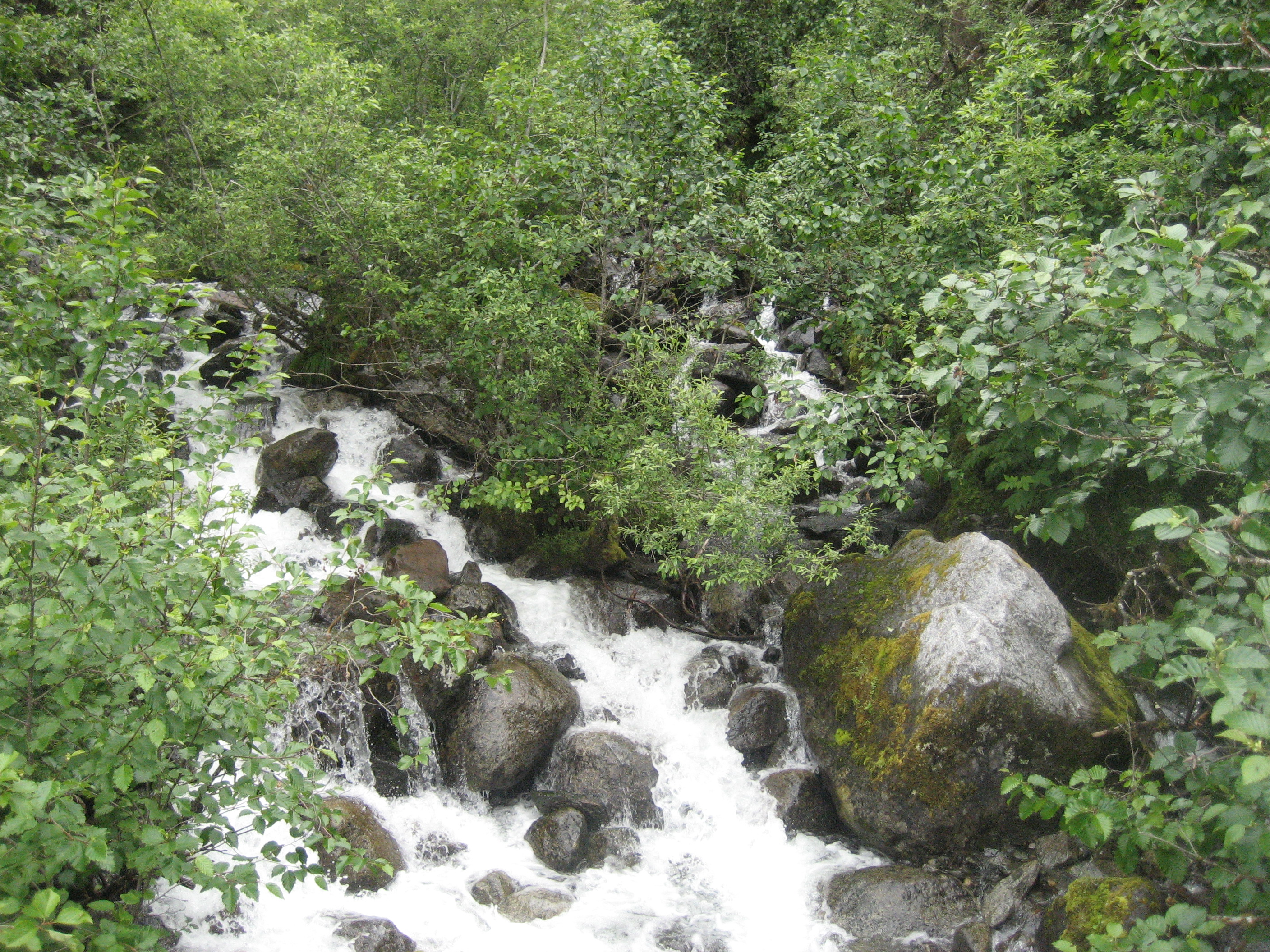
The Creek is variously calm and rambunctious, like all Alaskan waterways.
739

741

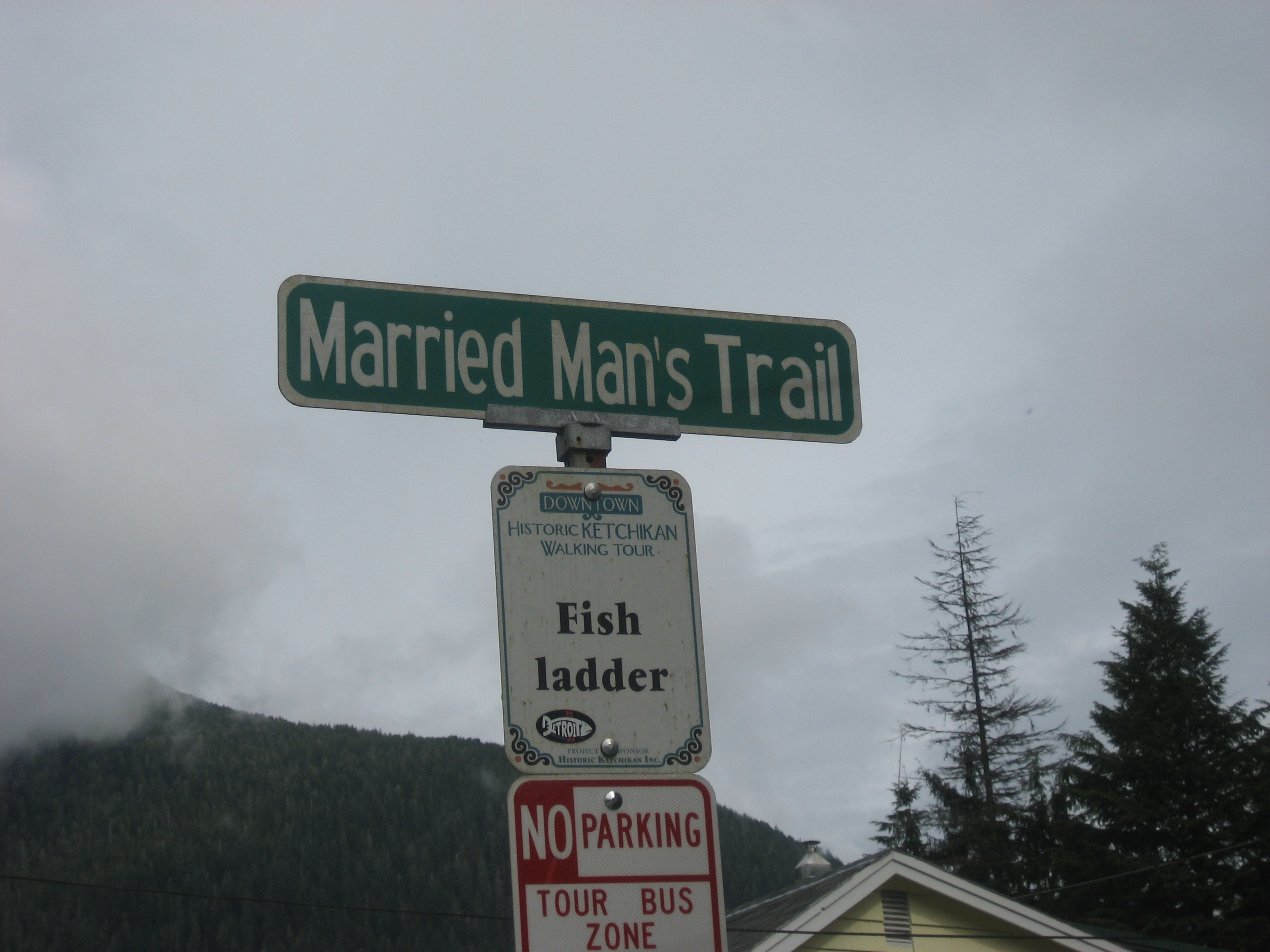
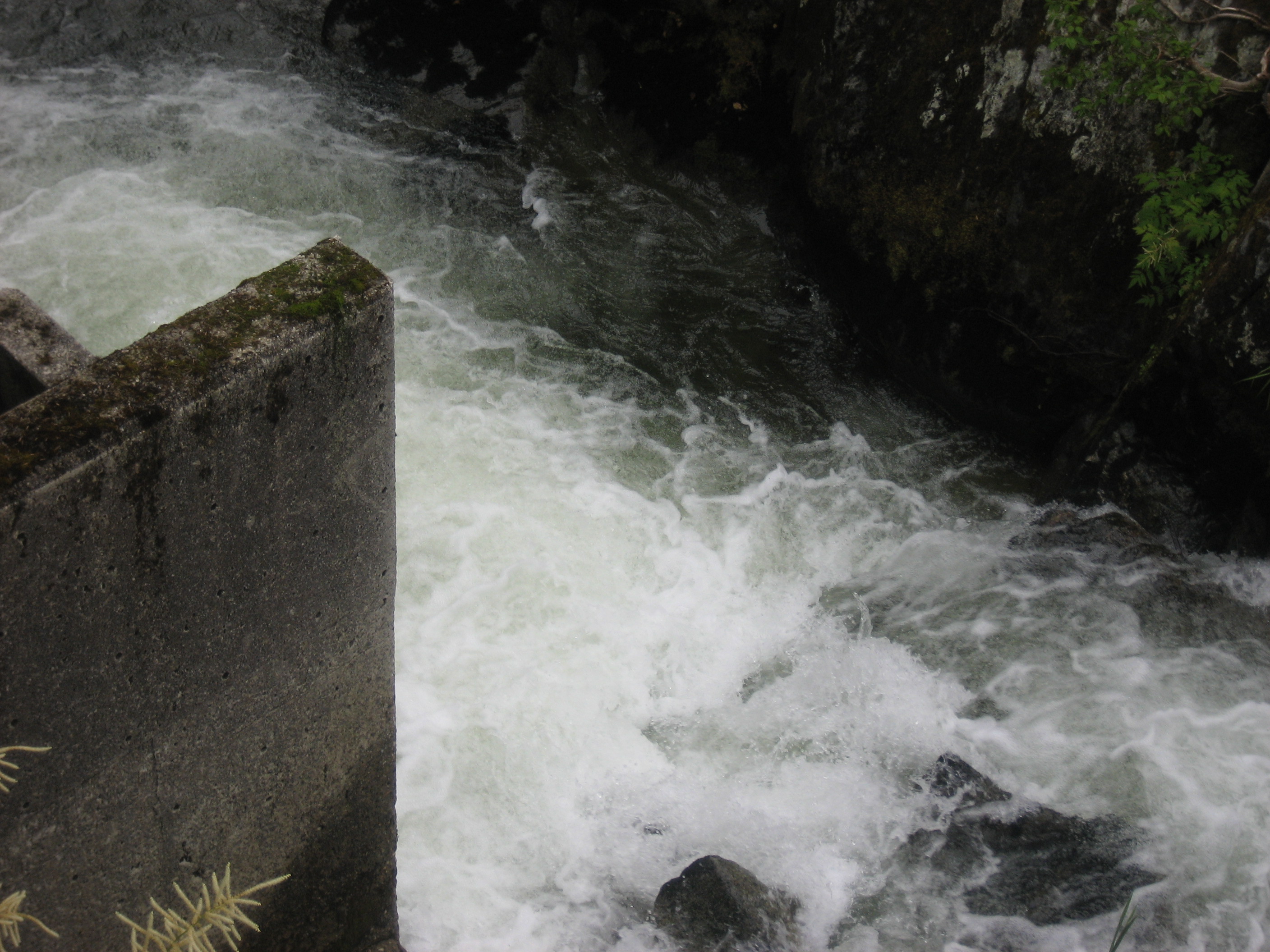
Married Man’s Trail takes commitment.744
746

742

African-Americans have had a key role to play in Alaskan life, since 1867.  Miss Annie was a fighter for women’s rights, before suffrage.

753

I met my friend, Ms. Chapman, downtown and went to a brief meeting at the Recreation Center.  While she was tending to other business afterward, I went over to Annabelle’s for fine Alaskan cuisine.

761

This tunnel goes under a rail link, and takes traffic from downtown to the ferry terminal.

763

I took these stairs to get to the hostel, where I again met Ms. Chapman.

764

From there, we went over to the evening meeting, which she and her daughter hosted.  This is a view from her neighbourhood.

768

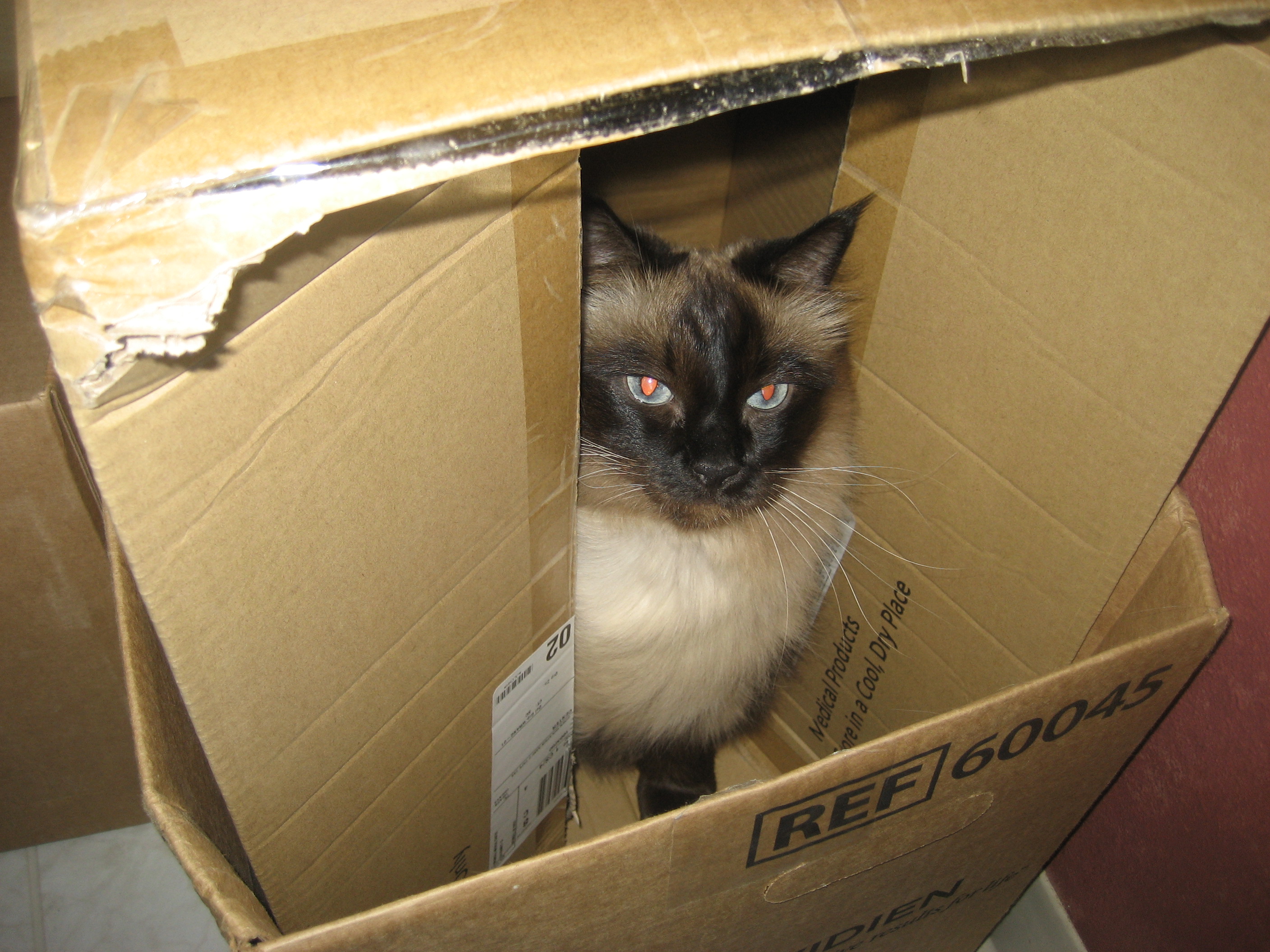
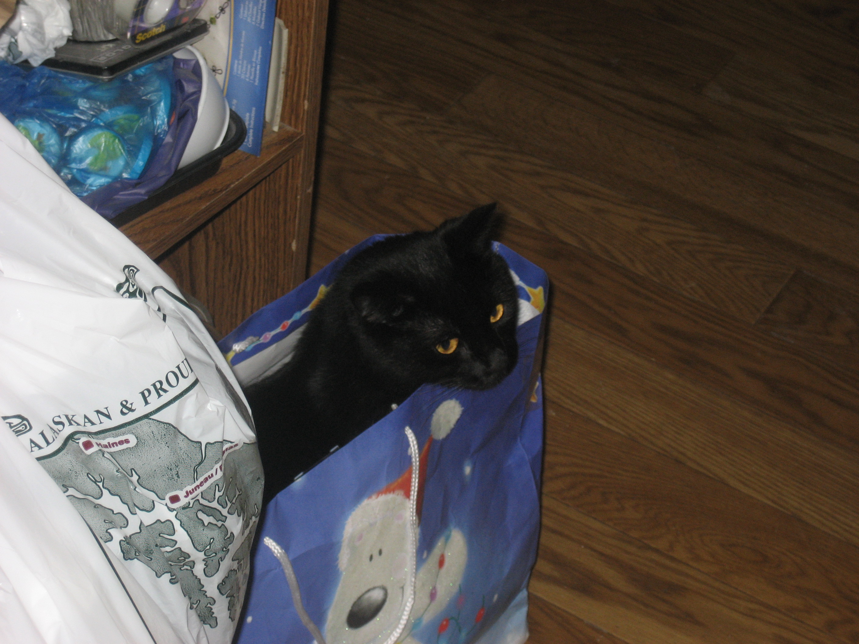
this is a cat’s eye view of the world.
769

My hosts were gracious, in the Alaska tradition.

770

So, my first of two days in Ketchikan was certainly very full.  So, too, would be the second day.

The Road to 65, Mile 199: Southeast IS Northwest, Day 8- Under The Eagles’ Gaze

9

June 15, 2015, Sitka-

 It’s said by the locals here, that eagles in Sitka are like pigeons elsewhere, and that black bears are like rats.  I didn’t see any bears, anywhere in southeast Alaska, but there were eagles aplenty, thought they took exception to photography, most of the time.

656

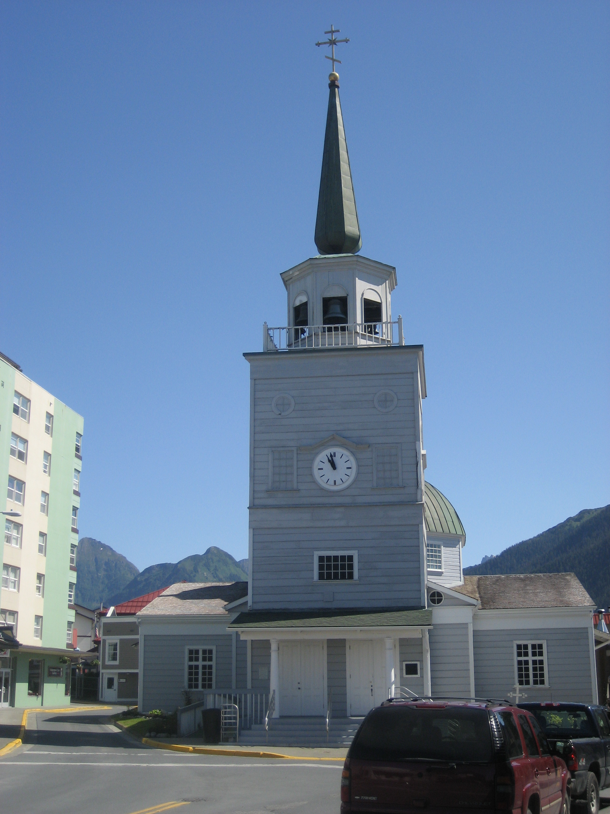
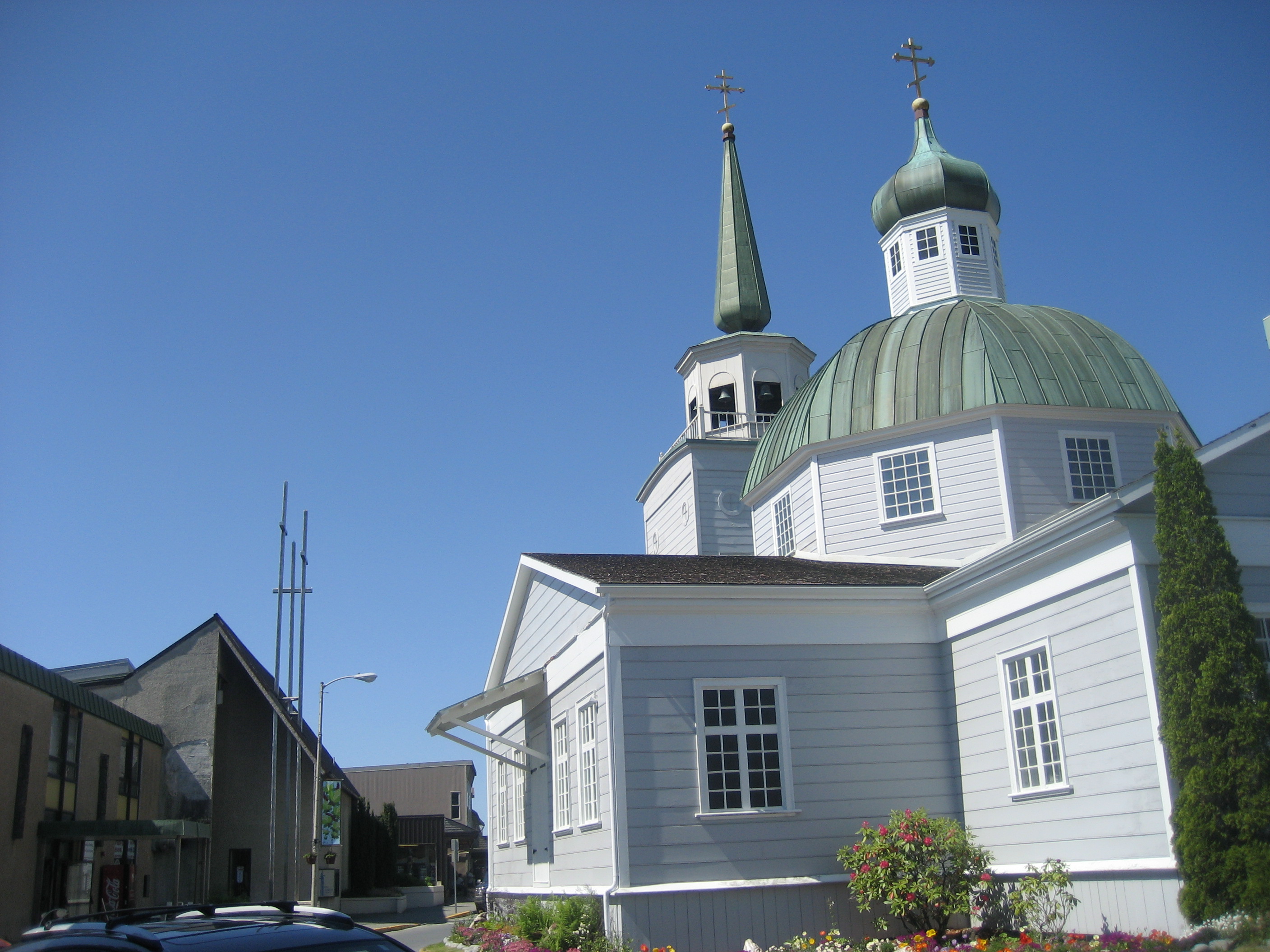
There have been eagles perched on the steeple of the Lutheran Church, and atop the adjacent St. Michael’s Eastern Orthodox Cathedral.

499

The Lutheran Church was built to accommodate Finnish shipwrights, who were brought to Sitka, both to build and repair ships, and to build the Russian Bishop’s House.  The house was the residence of the man now known as St. Innocent.  The church was placed across the street from the Orthodox Church, mostly so that the bishop could keep an eye on the Finns.

Both churches burned to the ground, in 1966.  Both have, of course, been rebuilt, and both are still active institutions in Sitka life.

523

The Lutheran Church is austere, though it has a fine old organ.

503

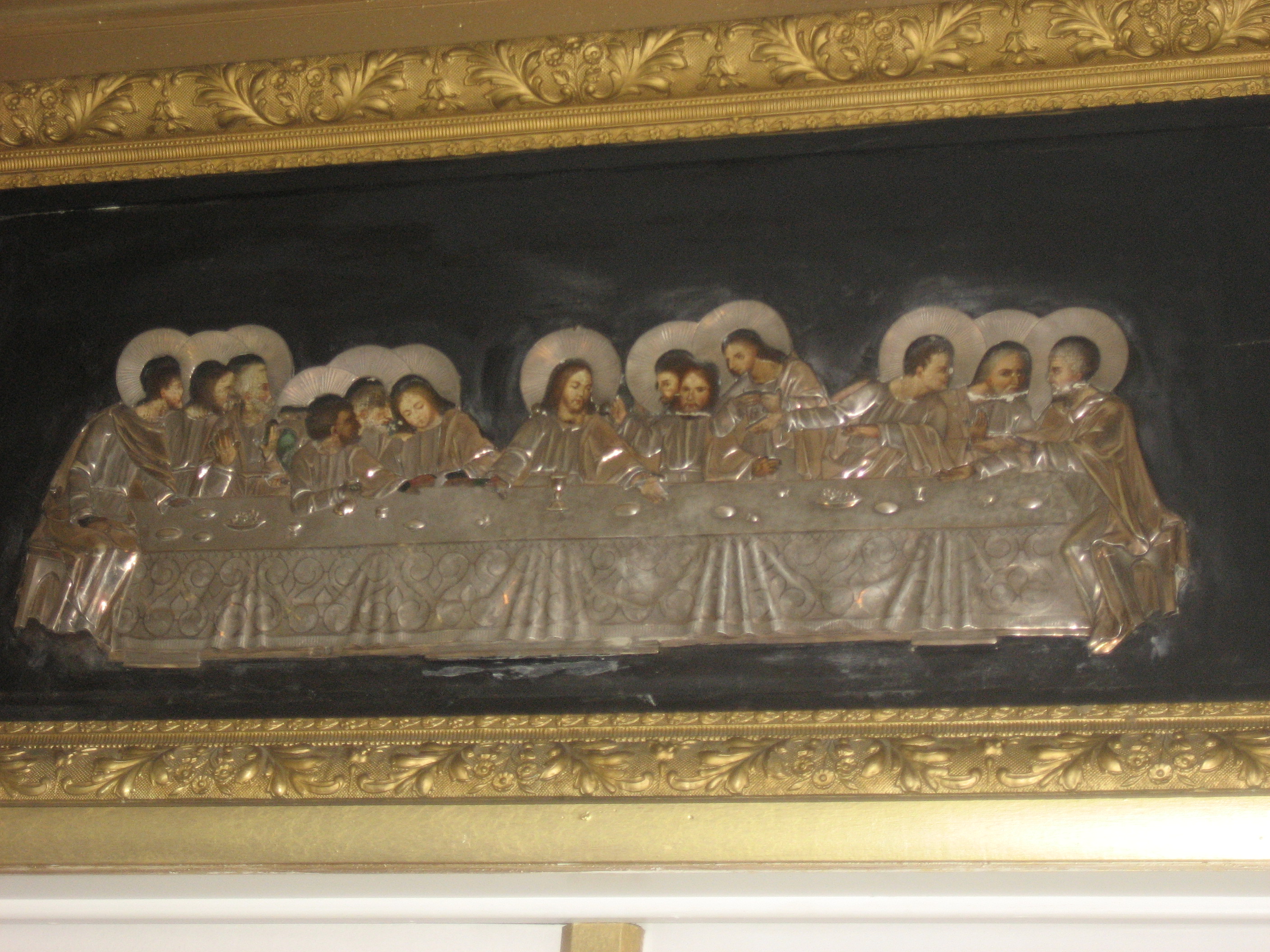
The Orthodox Church is replete with the gold, for which that denomination is well-known.

514

After looking at the interiors of the churches, I went to investigate the central waterfront.  A local boy was quite impressed with the work of a Haida canoe builder.  He was busy telling some other unruly kids to stay out of the canoe.

537

The Russian Bishop’s House is the centerpiece of Sitka National Historic Site.

560

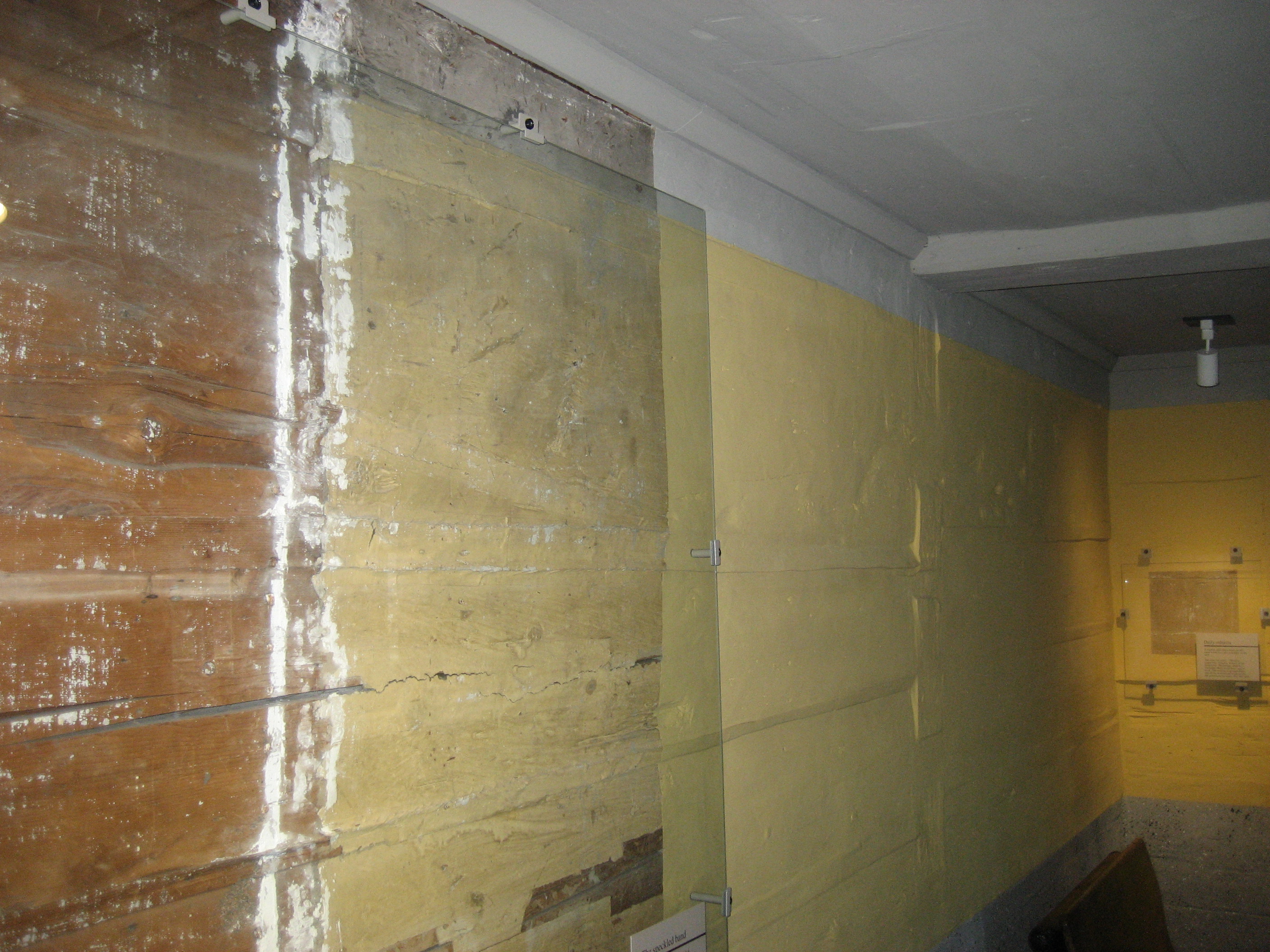
I took a guided tour of the upstairs.  The docent explained that the home was built by Finnish shipwrights.  Their methods are obvious here, even today.

561

The Southeast Alaska Marine Center keeps close watch on sea stars, and other key creatures, as well as maintaining active fish-spawning ladders, primarily for salmon.  Volunteers, including our hostel manager, Katherine, are checking the beaches, most days, for marine creature health.

611

616This is Whale Park, to which our friend, Mary, took us, as part of her guided visit to the north and south ends of the island.

653

I visited the Totem Pole Trail on my own, prior to Mary’s guiding my new friend, A.,, and me.

Every town in the Pacific Northwest has totem pole displays.

622

For the most part, the totem poles on display are replicas.  Those in the wire cage below, are originals.  All on this site, and elsewhere, are sacred to the Tlingit, Tsimshian and Haida people, throughout the southeast islands and peninsulas.

626

This pole marks the site of the Battle of Sitka, in 1704, in which the Russians defeated an army of Tlingits.  To this day, Tlingits look upon Russians with grave suspicion.

643

A. and I were photographed separately, at the south end signpost.658

The north end of the island has an artesian well, from which many locals obtain their drinking water.

666

Our last stop in Sitka, that evening, was the Baranof Totem Pole,  on Castle Hill,so built for Count Baranof, one of the last Russian governors of the territory.

672

I ended my time in Sitka, early the next morning, flying out to Ketchikan, on which I began Mile 200.

The Road to 65, Mile 197: Southeast IS Northwest, Day 6 at Mendenhall Glacier

5

272June 13, 2015, Juneau- I elected to spend this Saturday, as an extra day here, so as to spend several hours in the vicinity of Mendenhall, the nearest and most accessible glacier- as well as being a prime example of the changes which our Earth is undergoing.

The glacier’s stewards have carefully marked its retreat, and masses of people from all over the world come here to walk the Trail Through Time, on which a docent carefully points out the now solid ground that was covered by the  Mendenhall, on given years in the not so distant past.  Now, it, along with Le Conte and other glaciers in southeast Alaska, is calving icebergs constantly, each year.

273

Despite its retreat, Mendenhall remains a thing of wonder.274

This is the closest that visitors can get to the great ice field.281

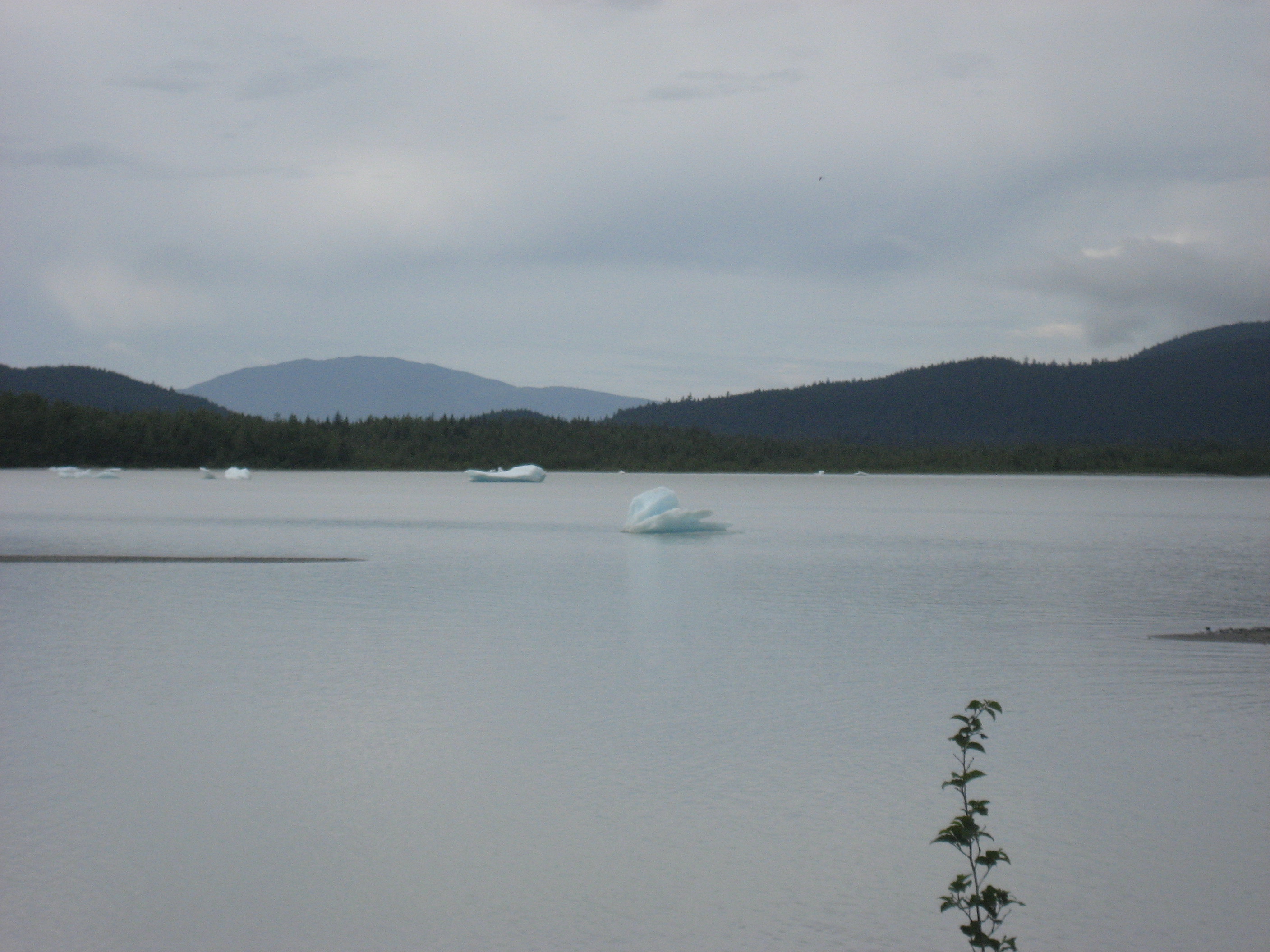
The icebergs, in turn are feeding this glacial lake.  Perhaps it, someday, will revert to ice.

282

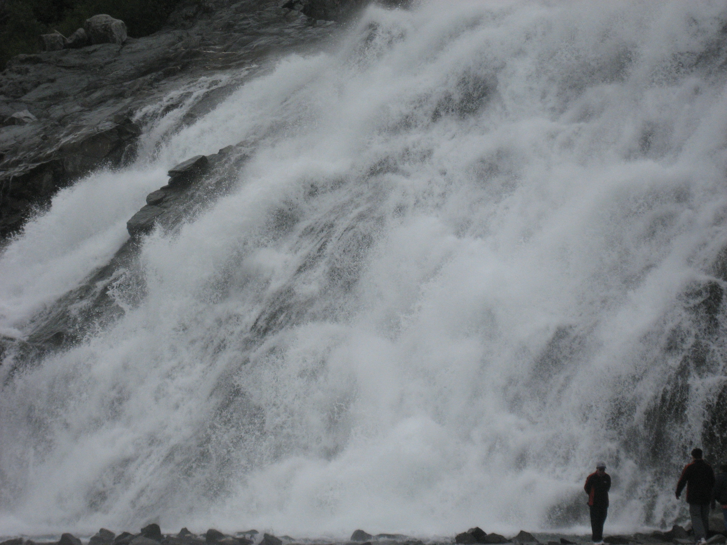
Nugget Creek, and its great Falls, are new wonders, that have only recently been released from their prison of ice.

284

A random daredevil chose to test the temperature.  A ranger was en route to check on his well-being, as I headed for East Glacier Loop trail.

290

Part of East Glacier Loop is contained within the Trail Through Time, which tracks the glacier at its peak and through its retreat, by showing where Mendenhall was, in what year.293

This tree-hollow cavelet would have been far under ice, in 1950, for example.

321

So, too, would this rain forest floor.295

296

299

As with all retreating glaciers, great boulders are left in Mendenhall’s wake.301

East Glacier Trail offers a “top-down” perspective, on its creator.302

AJ Falls, west of Nugget Creek, is the cascade of one of two tributaries of Nugget Creek.303

Notice that ice is not the only expansive element in this area.  Moss is everywhere, in the temperate rain forest.305

The clarity of the Mendenhall’s ponds lends itself to some intrepid families allowing children to swim in them, provided there are no bears present.308

Nugget Creek, compared to its Falls, is a modicum of serenity.314

These are views from the crest of East Glacier Trail.

315

316

I spent some time at the crest, talking with a local tour guide.  She has lived in Juneau for over 40 years, Steep Falls

and has, to her chagrin, watched Mendenhall shrink, inexorably.  She, like many hikers, took a

counterclockwise approach to the trail.  I hiked in a clockwise direction, as is my wont, and thus went down these stairs, instead of up.319

Steep Falls, at the west end of the trail, is the second tributary cascade of Nugget Creek.

327

328

It remains to be seen, as to which direction the glaciers of southeast Alaska,and of the world, will go, as our planet’s history progresses.  Mendenhall, Tracy Arm, LeConte Glacier and Glacier Bay, are all worth monitoring, and that’s just in the southeast.  The rest of the Last Frontier more than hold sits own, in the ice field department-for now.

The Road to 65, Mile 196: Southeast IS Northwest, Day 5 On The Water

9

June 12, 2015, Auke Bay- This waterfront community is Juneau’s northern adjunct, and a vital part of the Mendenhall Valley’s maritime tradition.  This is where the ferries head in all directions, and where the major fishing marinas are.

One of the boats docked at Auke Bay is the Anna.  She took six of us out to Prospect Point and Barlow Cove, then safely back, by evening.

IMG_1005

The sturdy lady is captained by Dave P., a master fisherman and mariner in good standing.

IMG_1007

He was assisted by Hari Dave S., a carpenter and roustabout on the high seas.

IMG_1008

Once all were aboard, and the kids were properly life-preservered, we were off to untold adventure.

IMG_1009

Dreamers never quit, and our dreams were of catching the limit on dungeness crab and halibut.  So, we passed by the Chilkat Mountains, and Eagle Glacier.

IMG_1017

IMG_1014

Captain Dave was going for broke.

IMG_1013

The girls were all set to help out.IMG_1019

Here, off Barlow Cove, we set two crab pots.

IMG_1021

Then, it was off to Prospect Point, for a couple hours of the master fishermen going after halibut.

IMG_1025

My task was simple:  Kick back, relax and make sure no one fell in the water.IMG_1030

Sea lions provided comic relief, and a cheering, or maybe booing, section.IMG_1031

The runt of the litter tried to get on board.  He had my sympathy.IMG_1033

In the end, the catch was….almost nonexistent.  The girls got a hermit crab to take home as a pet.  Any time with convivial people is well-spent though, and our day was indicative of so many days spent with a stick in the water.  The main thing is being at sea, and knowing that one of these days, the bounty will be provided.

After getting back to Juneau, I went to an Asian restaurant, which served multiple cuisines.  I stuck with the low mein, which also would stretch to another meal, in a day or so.  Tomorrow will be a different sor tof adventure:  A visit to Mendenhall Glacier.

The Road to 65, Mile 195: Southeast IS Northwest, Day Four- Juneau

10

June 11, 2015, Juneau- There is no such thing as a wasted day, unless one revels in wastefulness.  Rain fell, constantly, during my first full day in the Alaskan capital.  One must take what is, however, and so I first headed over to the nearest coffee house:  Heritage Coffee, in the heart of downtown.  I had about 1 1/2 hours of wi fi, for the price of coffee and a scone, before whoever runs the wifi pulled the plug, and I moved on.

IMG_0964

Thus, I took in the fullness of downtown Juneau, and gradually moved uphill.

IMG_0967

St. Nicholas Orthodox Church became a refuge for the Tlingit people, in the 1880’s and ’90’s, when American Christian groups insisted they give up their language and customs.  The Russian Orthodox missionaries made no such demand.  Therefore, the community remains strong in Juneau.

The Cathedral of the Nativity of the Blessed Virgin Mary has thrived, since the Catholics learned from the success of their Orthodox neighbours.  In truth, the only way to really reach people, especially in spiritual matters, is through their hearts.IMG_0972

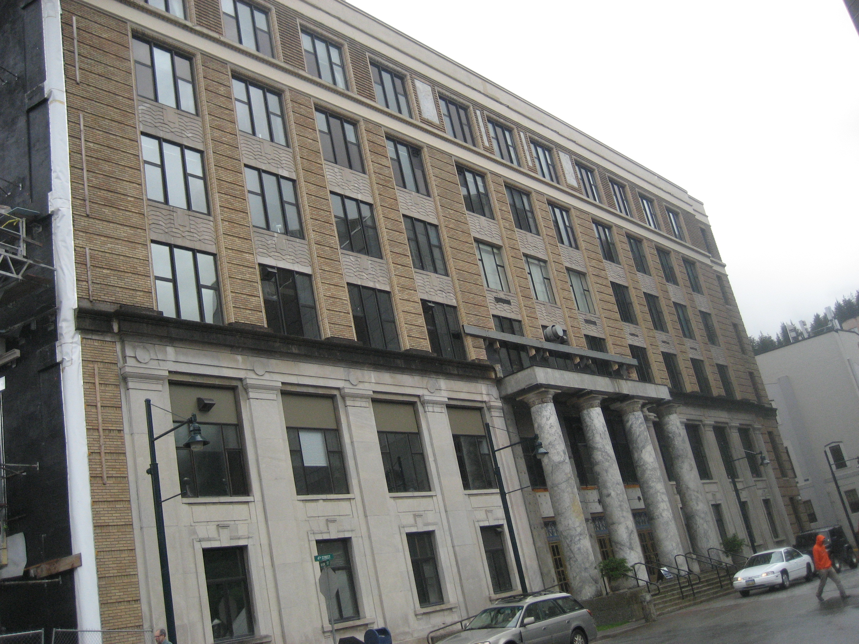
The Alaska State Capitol is under renovation now, so no one is allowed inside, as a visitor.  It is one of the most utilitarian, and unadorned of the state capitols, which suits me, and most Alaskans, just fine.

IMG_0973

All this going back and forth was leading me to check my watch, and, yes, it was lunch time.  So, off to Rainbow Foods, the local natural foods market, I went.  Some of my fellow hostelers were stunned, STUNNED, that I didn’t go to Fred Meyer or IGA.  As capable as the chain stores may be, local has more of the ambiance I seek.

IMG_0975

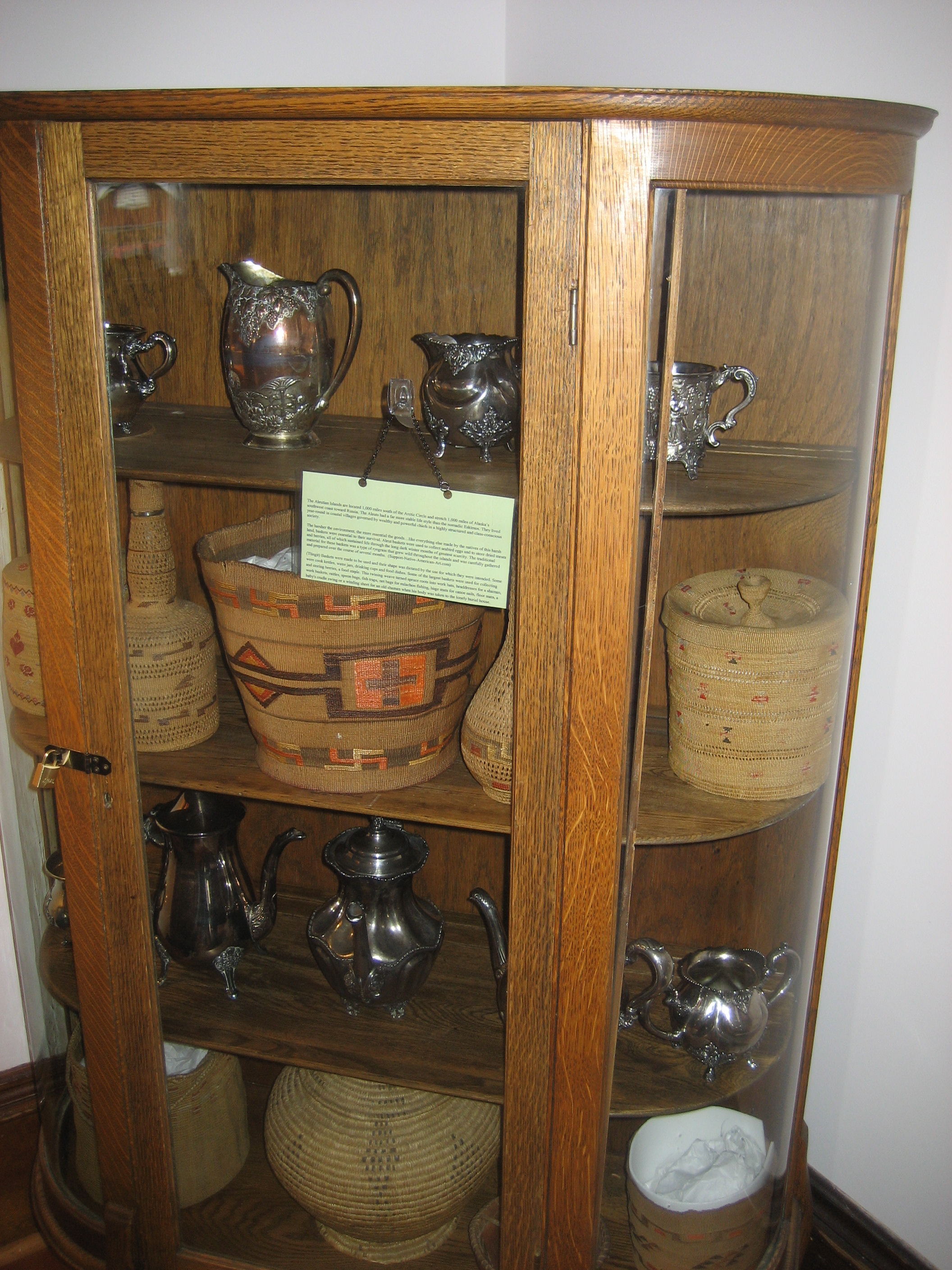
After the lunchtime interlude, I checked out Wickersham House, the early Twentieth Century home of a local judge, and his multi-talented second wife, who built strong, respectful relationships with the Tlingit and Haida people. The house is an Alaskan State Historic Site, and much of the judge’s native arts collection is preserved here.  Note the basketry, figurines and scrimshawed whale bone, below.

IMG_0985

IMG_0987

Next up, was a ninety-minute spiritual study with some local friends, then it was off to the heights above Juneau, with the hardiest of their number.

IMG_0991

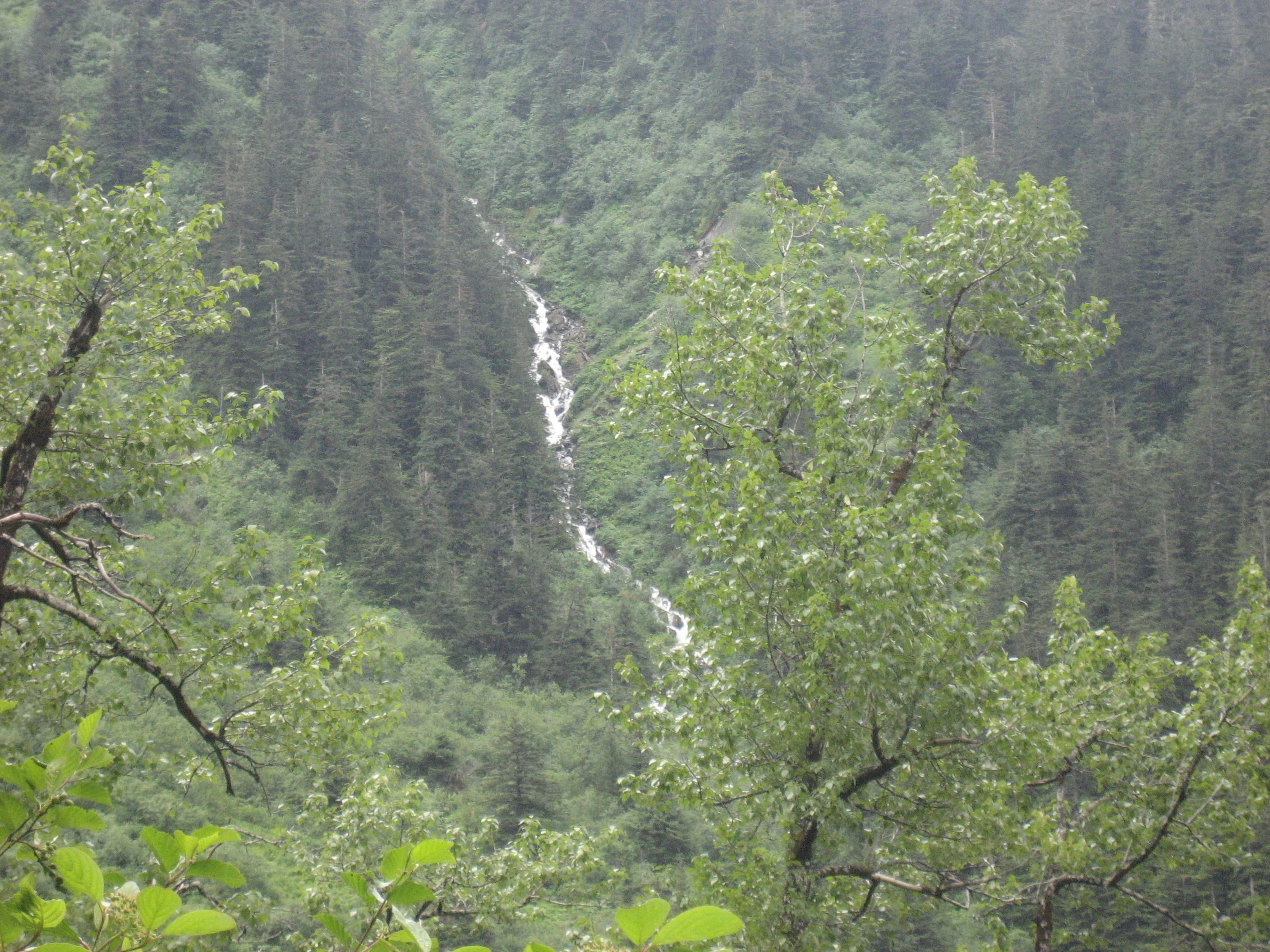
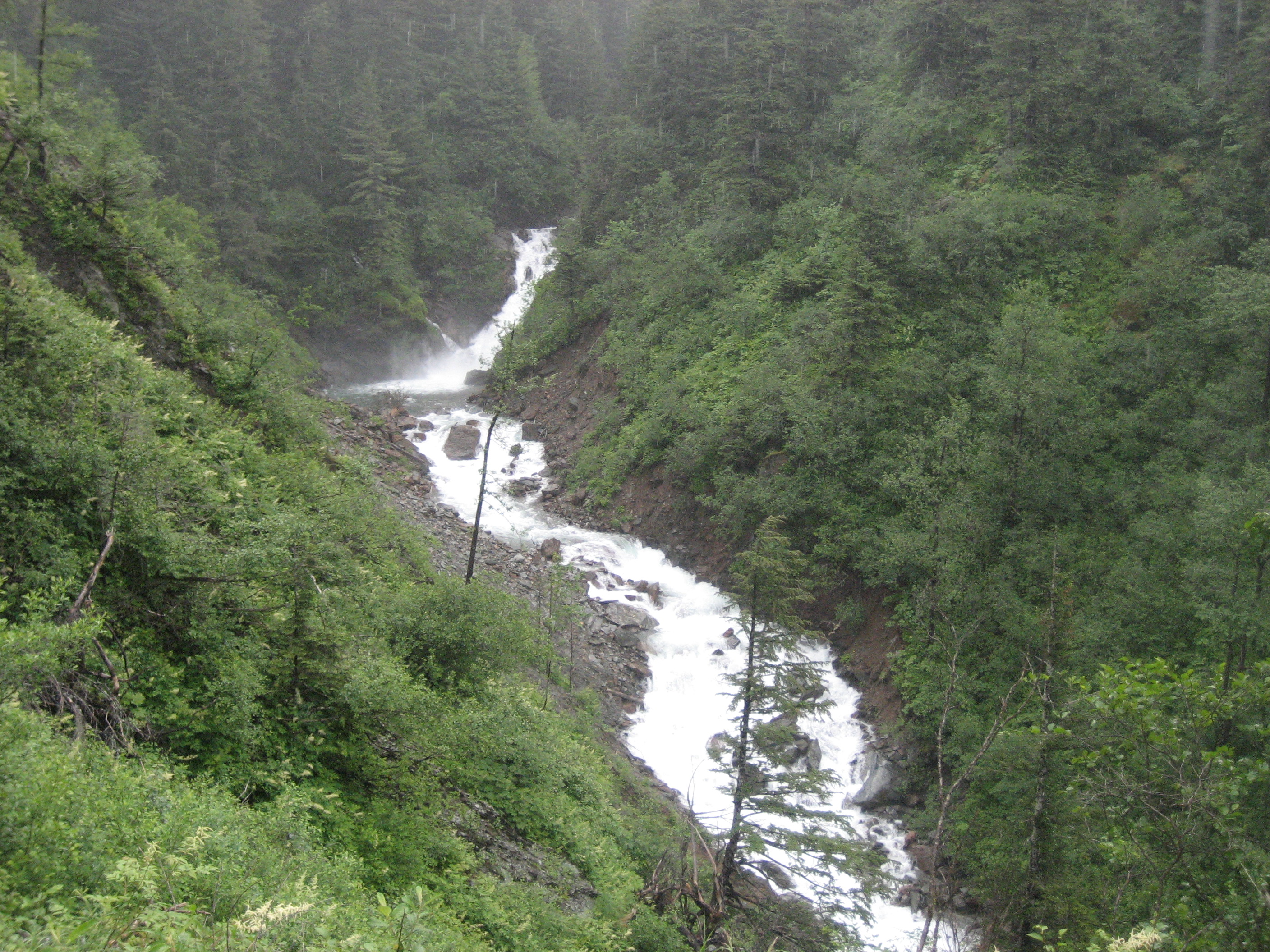
Our goal was Ebner Falls, which can be seen from a distance, below.

IMG_0993

IMG_0998

IMG_1002

IMG_1003

Above Ebner Falls, there rises Mount Juneau, accessible by a muddy path.

IMG_0999

The rain was our companion, all during this hike, but the falls are a greater attraction than the precipitation was a deterrent. I went with my friend, Dave P., to his boat, to prepare it for tomorrow’s expedition.  After pizza and salad, with Dave and his wife, my evening was occupied with  helping a young friend to heal herself, with the help of some essential oils.

The Road to 65, Mile 194: Southeast IS Northwest, Day 3, Wrangell to Juneau

2

June 10, 2015, Juneau- Today was a gray, overcast, thoroughly rainy day, headed north.  It was alternately cold and mild, outside.  The sea was alternately deep and black or shallow and emerald green.  No worries here, though, as I was passing from one fabulous community to another.

The ferry this time was the Matsunaga, named for one of Alaska’s most famous valleys.

IMG_0891

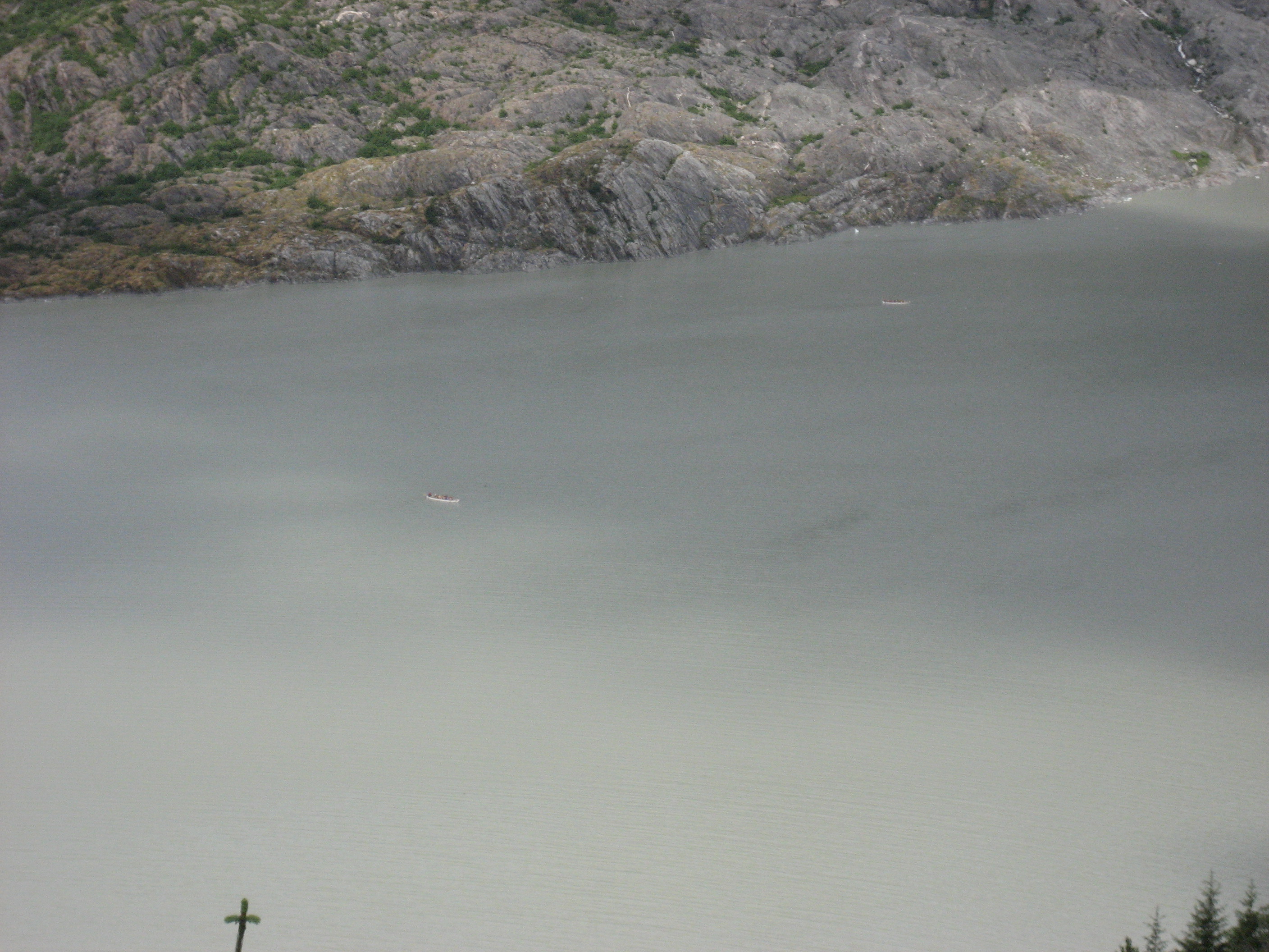
We passed by more exhilarating islands, coves and mountains, which I will let speak for themselves.  It was a pensive and relaxing day.
IMG_0892

IMG_0894

IMG_0897

IMG_0903

IMG_0907

IMG_0914

Our only stop, en route, was the largely Norwegian-American community of Petersburg.  I had scant time to leave the ship and explore, so I just stayed on board and was able to take these shots of the town, from deckside.  Note that the homes closest to the harbour are on raised platforms.  This feature reminded me of towns in Louisiana, or the coast of Guyana.IMG_0919

IMG_0923

Patterson Glacier meets the sea, north of Petersburg.  The much larger Le Conte Glacier is just south of Patterson.

IMG_0929

This wispy cloud, in front of the mountain, cast a disconcerting countenance.

IMG_0950

We arrived in Juneau  around 6:15 P.M., and i was whisked to a local Baha’i gathering, where once again, I was welcomed as family.IMG_0956

After this hearty welcome, I headed to Juneau Hostel, where I will spend four nights. during three full days in Alaska’s capital.

IMG_1040

The Road to 65, Mile 193: Southeast IS Northwest, Day Two in Wrangell

4

June 9, 2015, Wrangell- Baron Ferdinand’s little town has grown in my heart, already.  The little family with whom I have been staying is engaging and solicitous.  The community of Baha’i friends, likewise, has spared no warmth and consideration.  That there is amazing scenery around every corner in southeast Alaska doesn’t hurt, either.

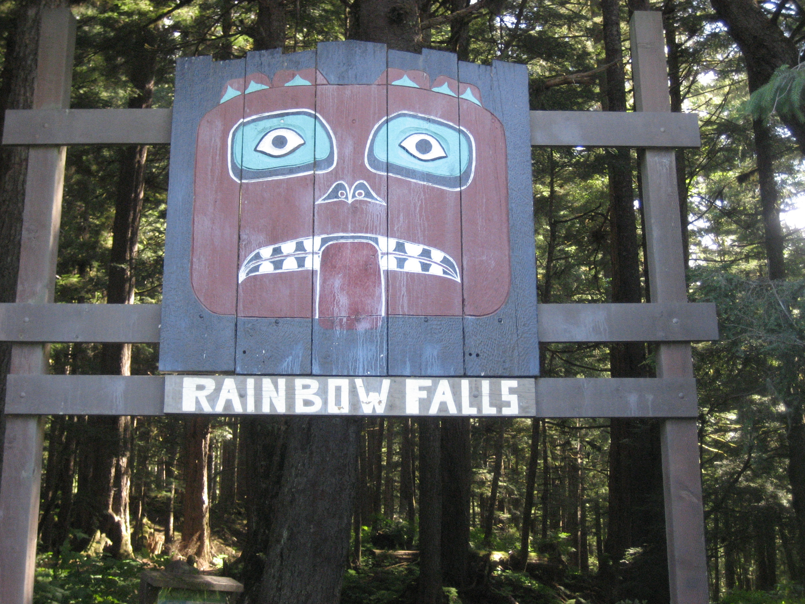
I spent the day alternating between hikes and community get-togethers.  The morning began with a walk up to Rainbow Falls, a delectable slice of Tongass National Forest,  four miles south of Wrangell.

IMG_0815

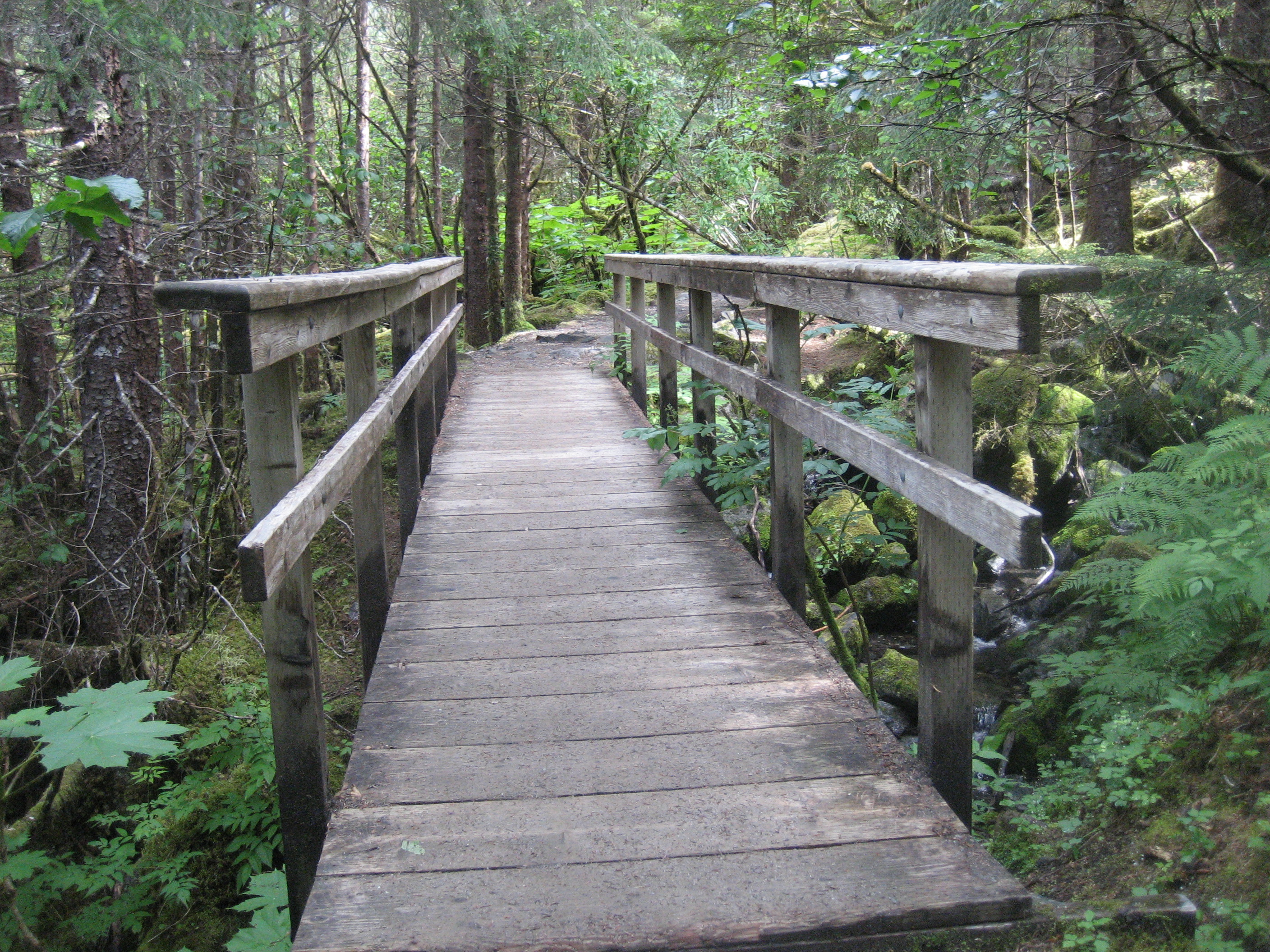
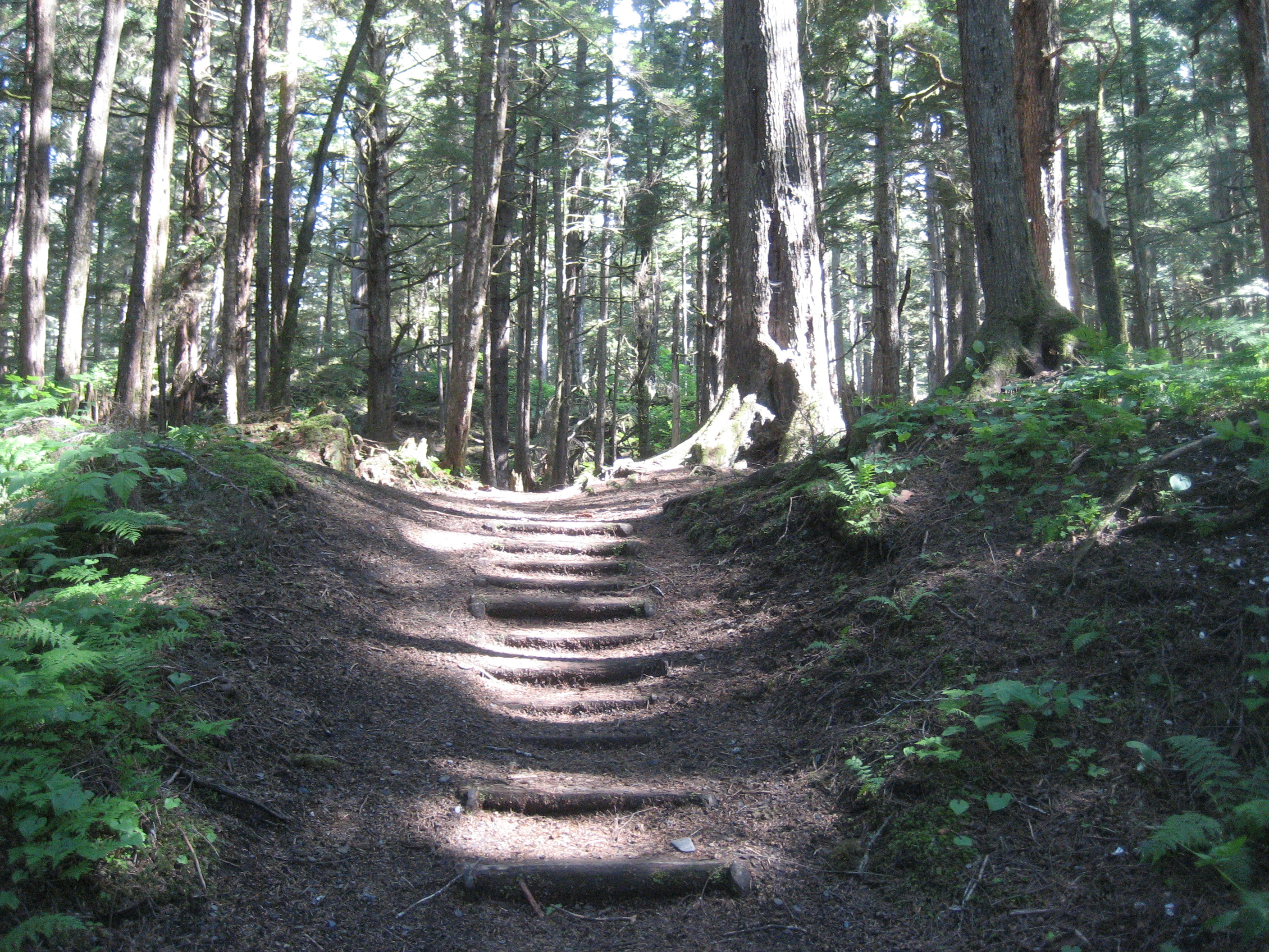
The trail is .6 miles long, and features about 200 steps, mostly on a planked trail.  Wrangell planks its trails, so as to avoid people having to hike in the mud.

IMG_0816

The Tongass is Alaska’s primary temperate canopied rain forest.

IMG_0817

As with any canopied forest, the importance of the forest floor is huge.IMG_0819

IMG_0825

This is the first view of the creek that is fed by the Falls.IMG_0823

IMG_0830

The hanging moss resembles a squirrel tail.IMG_0831

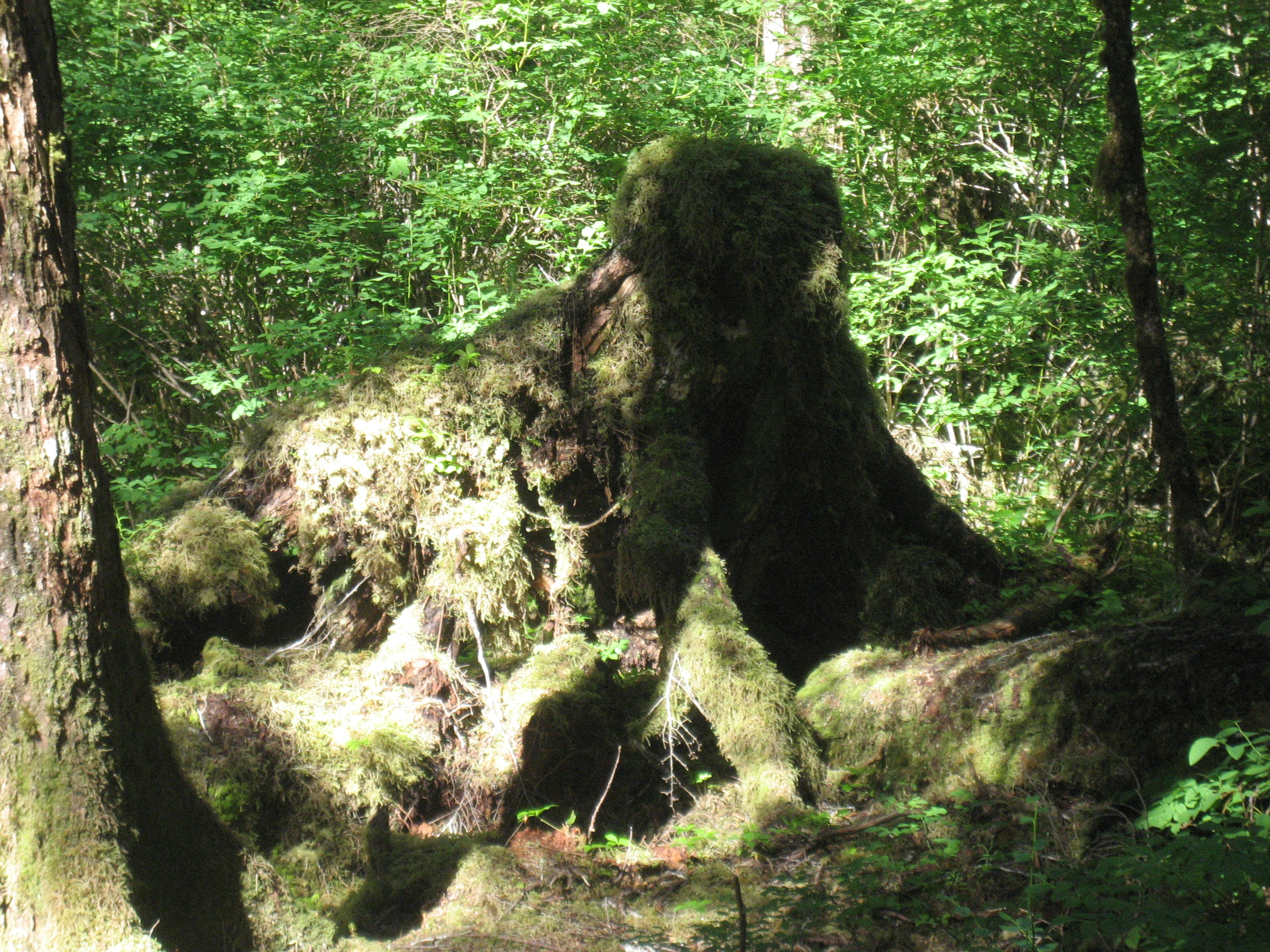
This moss-covered stump, on the other hand, resembles a woolly mammoth.IMG_0832

The first view of Rainbow Falls is the best.IMG_0837

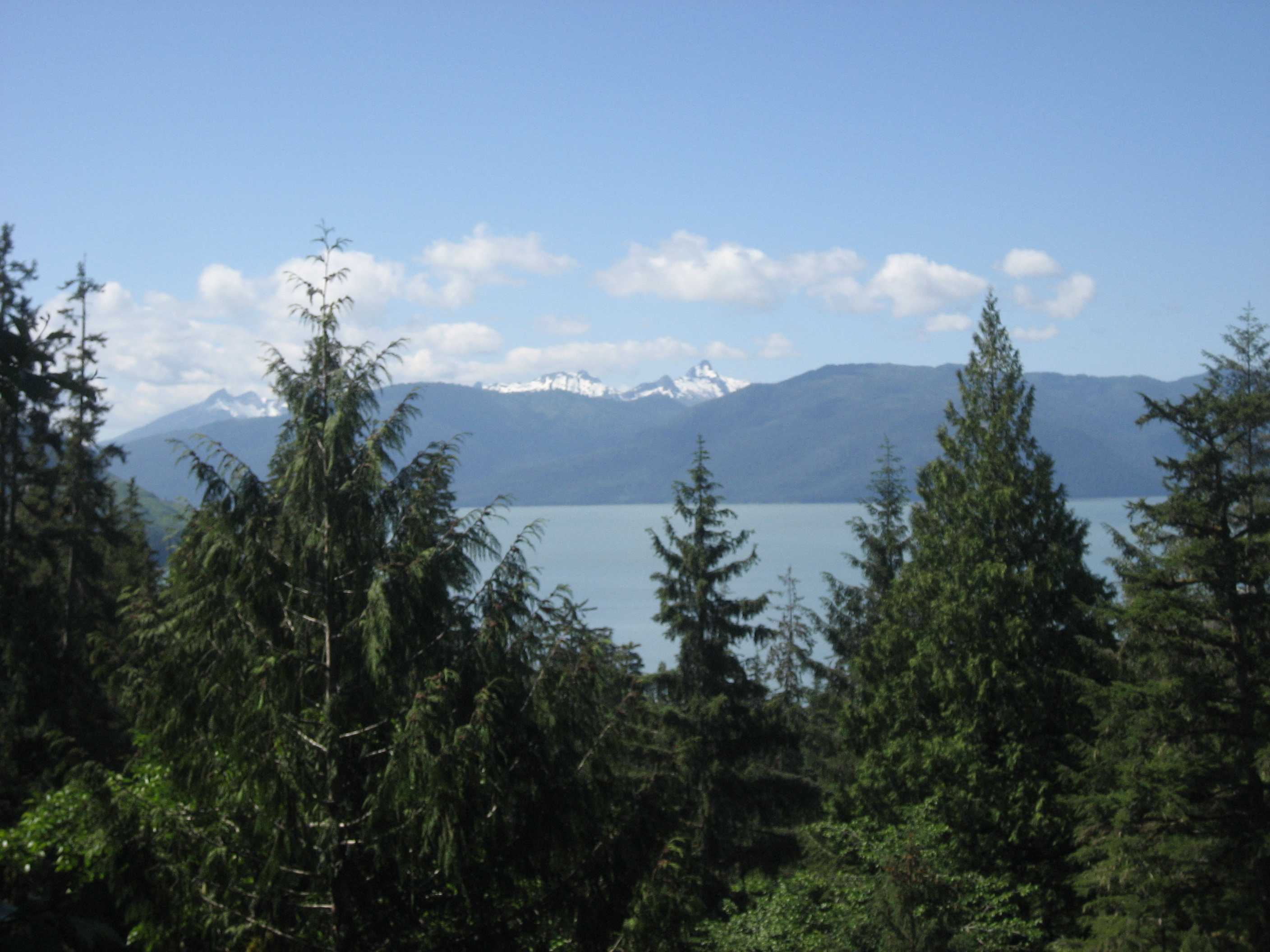
Looking westward, from the trail’s end, gives one another spectacular  view of Fool’s Inlet and Etolin Island, west of Wrangell.IMG_0838

After hiking down, I went downtown and purchased a freshly-made raspberry rhubarb pie, all the better to treat my host family, whilst helping another Baha’i family in its fundraiser for their daughter’s Homecoming Queen candidacy.  Of course, the proceeds would help her with higher education expenses, after high school, as well.  It looks like the pies, and their slices, were selling as fast as they were being delivered.

Following a brief after-lunch rest, I took in Wrangell’s Nolan Museum, devoted to island history, geology and artifacts.

IMG_0867

This is a Tlingit orca mask.

IMG_0849

I couldn’t decide whether this quartz crystal resembled a Sphinx, or Yoda.

IMG_0845

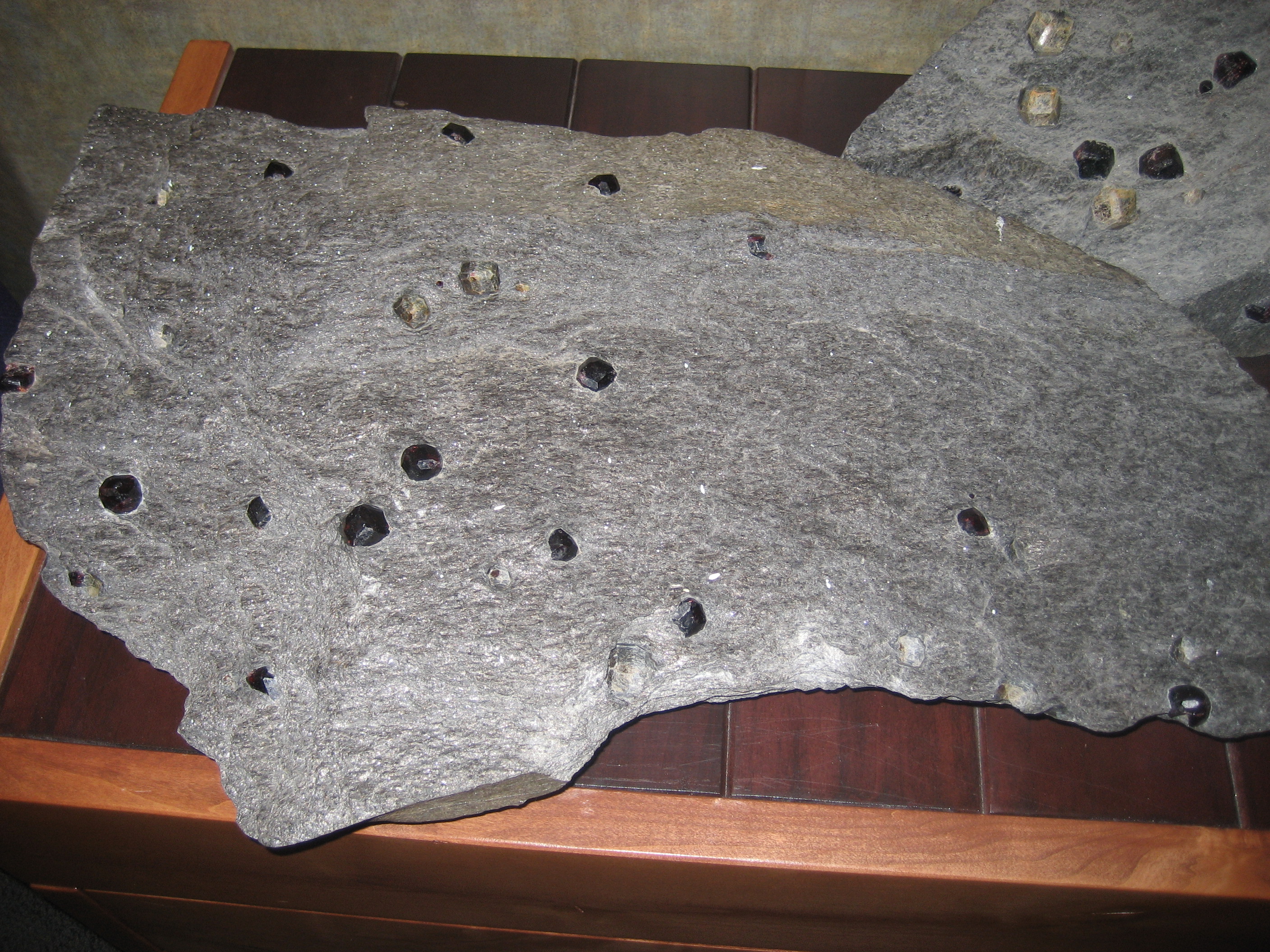
Wrangell school children sometimes have garnet hunts, and sell the gems for fundraising.IMG_0859

This display shows a traditional Wrangell Island sein and fishing kayak.IMG_0866

Petroglyph Beach, north of Wrangell, was my last nature excursion of the day.

IMG_0869

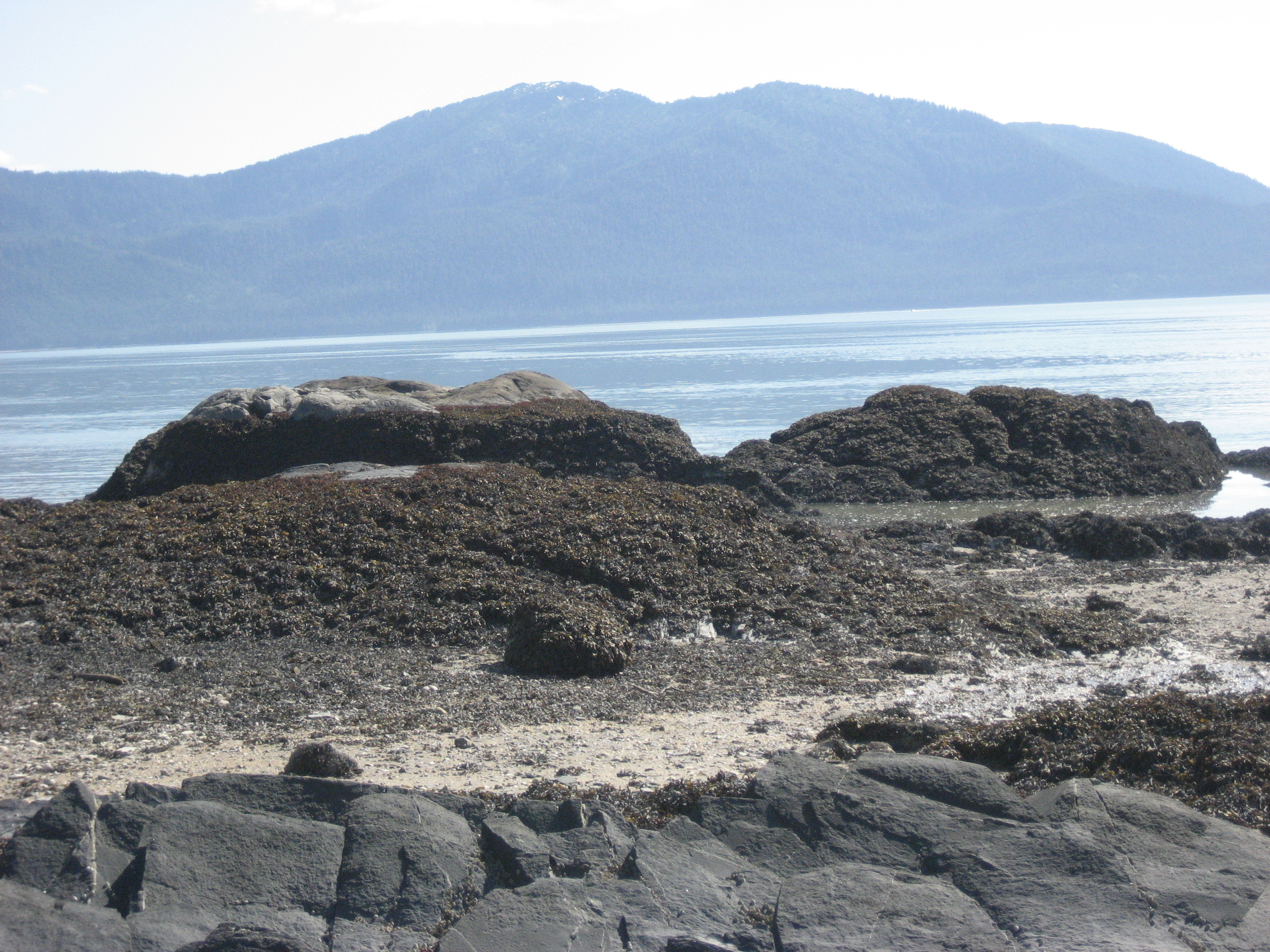
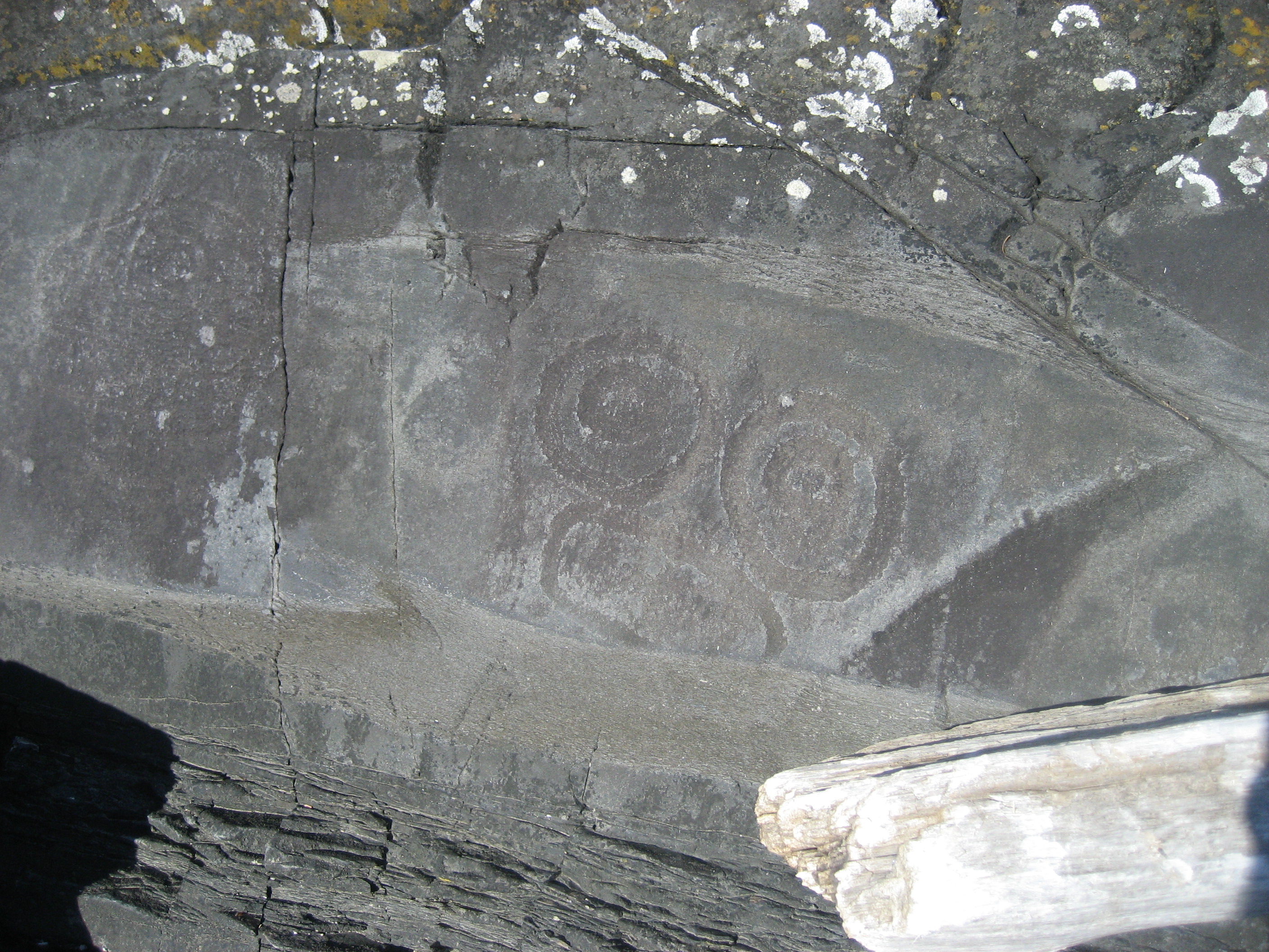
The basalt and shale along this rather temperate beach availed themselves to those wanting to carve messages, over the centuries.IMG_0871

IMG_0872

IMG_0878

IMG_0879

This smooth slate has not, as yet, drawn a lot of attention.

IMG_0882

I’m told that much of the rock art is on this area, and is only reachable at low tide.

IMG_0875

True to form, i found a heart waiting for me, on Petroglyph Beach.

IMG_0876

In the evening, I attended another Baha’i gathering, and met the Queen of the House.

IMG_0886

Her entourage was also quite feisty.

IMG_0888

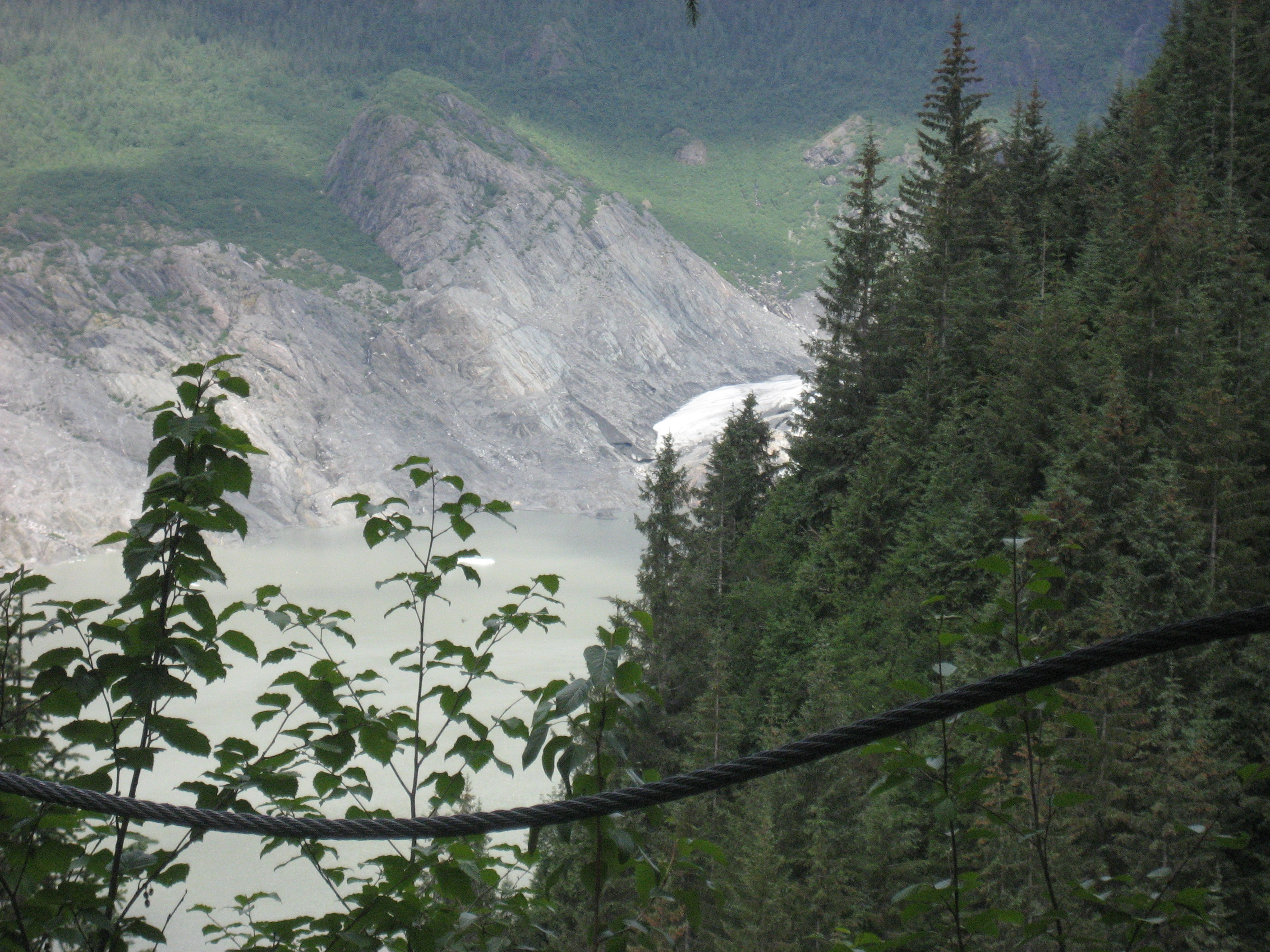
So ended my two-day visit to an amazing little town.  I get the sense that the next three towns on my itinerary will be equally special, in their way.  Is there any such thing as a place that isn’t special?
The Road to 65, Day 192: Southeast IS Northwest, Day One In Wrangell

2

June 8, 2015, Wrangell-  Baron Ferdinand von Wrangel has been honoured by two nations, Russia and the United States, with the town of Wrangell, which he served as both a Russian and an American governor, and Wrangel Island, in the Russian Arctic.

So, this small, but bustling town honours the entrepreneurial spirit of its namesake.  Fishing is a huge enterprise, both from the bounty of the sea, and of the Stikine River, a few miles north of here- relatively speaking.

IMG_0756

My first stop this morning was to the resting place of Chief Shakes V, a Tlingit leader who worked tirelessly for his people.  The totems atop the fence are of orcas, which are honoured by the seafaring Tlingit.

IMG_0757

IMG_0758

Chief Shakes’ residence is preserved by the Tlingit Nation, and is available for viewing when tour ships come to town.

IMG_0766

Wrangell, like other southeast Alaskan towns, has a Totem Pole Park.IMG_0777

IMG_0768

IMG_0778

In between visiting with some friends, at lunch and in the evening, I spent some time hiking up Mt. Dewey, a short urban parkland, atop which one may get a fine view of islands to the west of Wrangell.  John Muir hiked Mt. Dewey, during his visit to Alaska.

IMG_0795

IMG_0796

I had a companion on my walk, for a short time.

IMG_0802

A nearby mountain and a view of Wrangell Harbor, were prime views from atop Mt. Dewey.

IMG_0805

IMG_0807

Tomorrow is sure to bring yet more sights and sounds, on this marvelous island.
The Road to 65, Mile 191: Northwestward, Day 12- The Joy of Rain

3

June 7, 2015, Wrangell- We woke to rainwater, where my left-hand neighbour’s cot had been, with the spill headed down towards my area, and past it.  None of my belongings were near the wall, so all was still well on my end.  Poor neighbour, and her husband, survived the night, and vowed to be more circumspect about where they lodged, between Wrangell and Juneau.

We were in Canadian waters until 6:30 AM, or so, but being on Alaska Daylight Time already, we all had been up for at least an hour, when we crossed into the realm of the Last Frontier.  Rain was still coming down, hard, as we pulled into Ketchikan, for the two hours that it would take to unload some vehicles and take on others.  There were many relieved dogs and cats that had survived the two-day crossing, lodged on the car deck, and visited by their people four times a day, for fifteen minutes each.

SAMSUNG CAMERA PICTURES

This was our first view of Ketchikan, as the trusty vessel edged into harbor.

SAMSUNG CAMERA PICTURES

The low-hanging clouds did not obscure our temporary “rest-stop”.

SAMSUNG CAMERA PICTURES

Nor did the rain, hitting the window, keep anyone from getting off and stretching a bit.

I spent about an hour and ten minutes in the lobby of Best Western Plus, Landing Hotel, catching up on what had gone on in my wider world, during our time at sea.

Back on the ship, for the final leg of the day- to Wrangell, a kind man pointed out this misty splendour.  While I was sitting in the observation deck, reading, another passenger came up, distraught, and asked whether I had seen a red i-pad.  Shortly afterward, some teens who were headed back to Wrangell came around, apparently engaged in a makeshift scavenger hunt.   Thirty minutes later, the kids found the i-pad, where the woman’s husband had left it- on a snack bar table.  Their whole activity was oriented around finding this device.

SAMSUNG CAMERA PICTURES

SAMSUNG CAMERA PICTURES

The fog lifted a bit, heading northward, and toward mid-day.

SAMSUNG CAMERA PICTURES

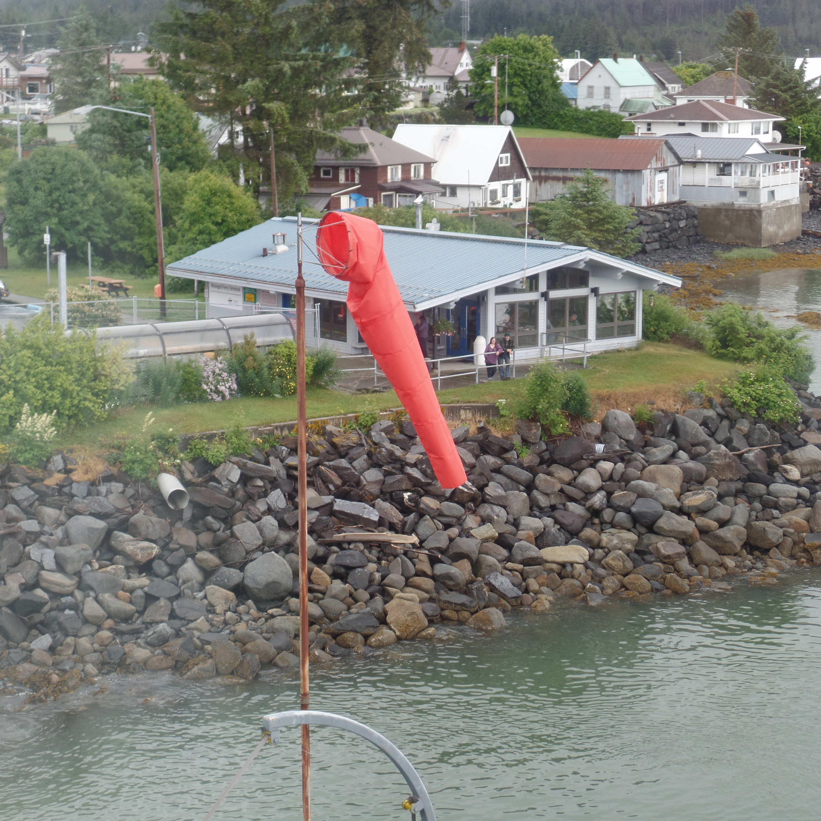
Soon enough, there was Wrangell!

SAMSUNG CAMERA PICTURES

This windsock shows the captain and his navigator the direction of the wind.

SAMSUNG CAMERA PICTURES

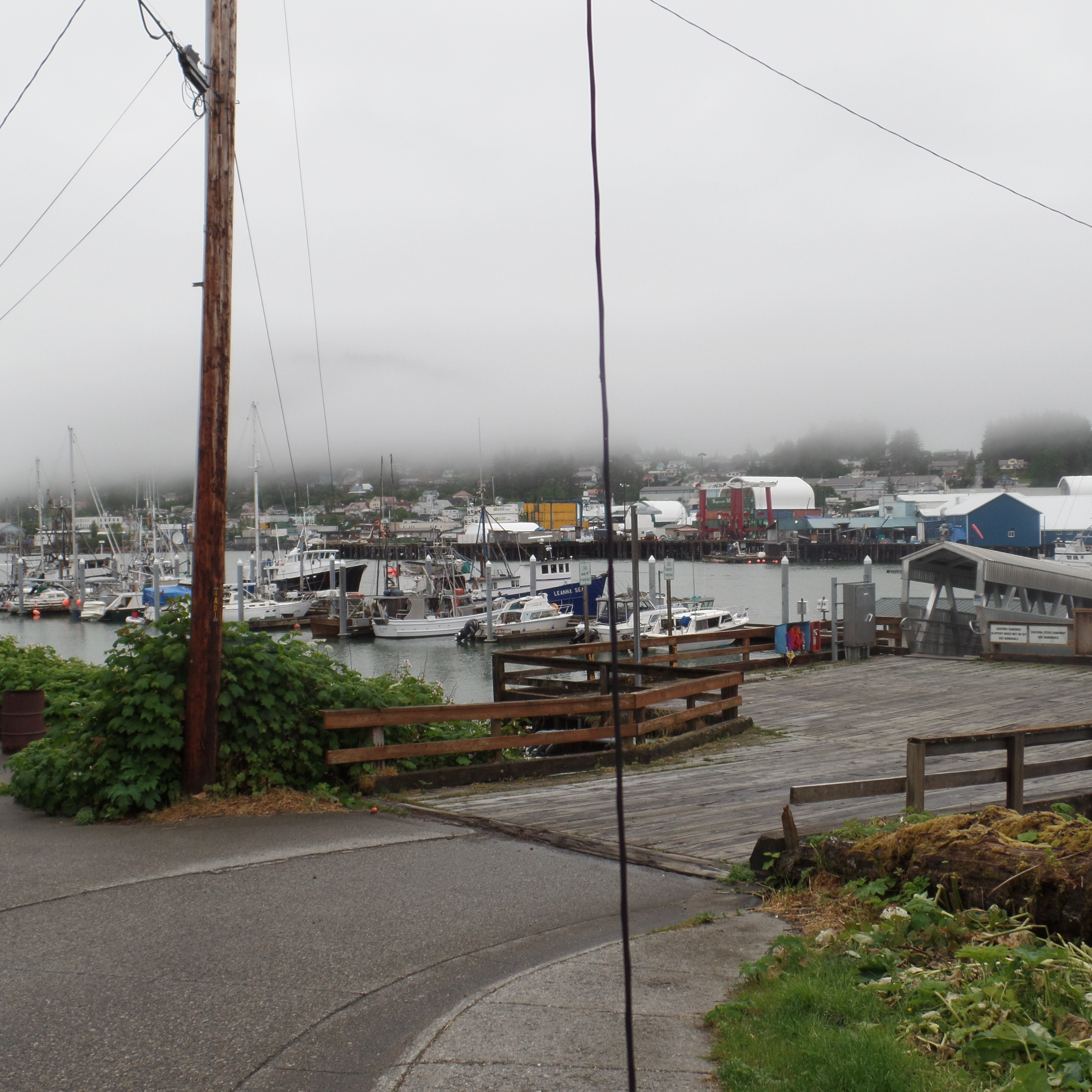
I was met at the dock by my main correspondent in Wrangell, who brought me to the home in which I am staying here.  My host is a high-powered Renaissance man, whose ideas and activities may well result in significant progress in areas from salmon conservation and wild stock replenishment to the fostering of intertribal unity across the State of Alaska.  Here is a view of Wrangell’s harbor, from his home.

SAMSUNG CAMERA PICTURES

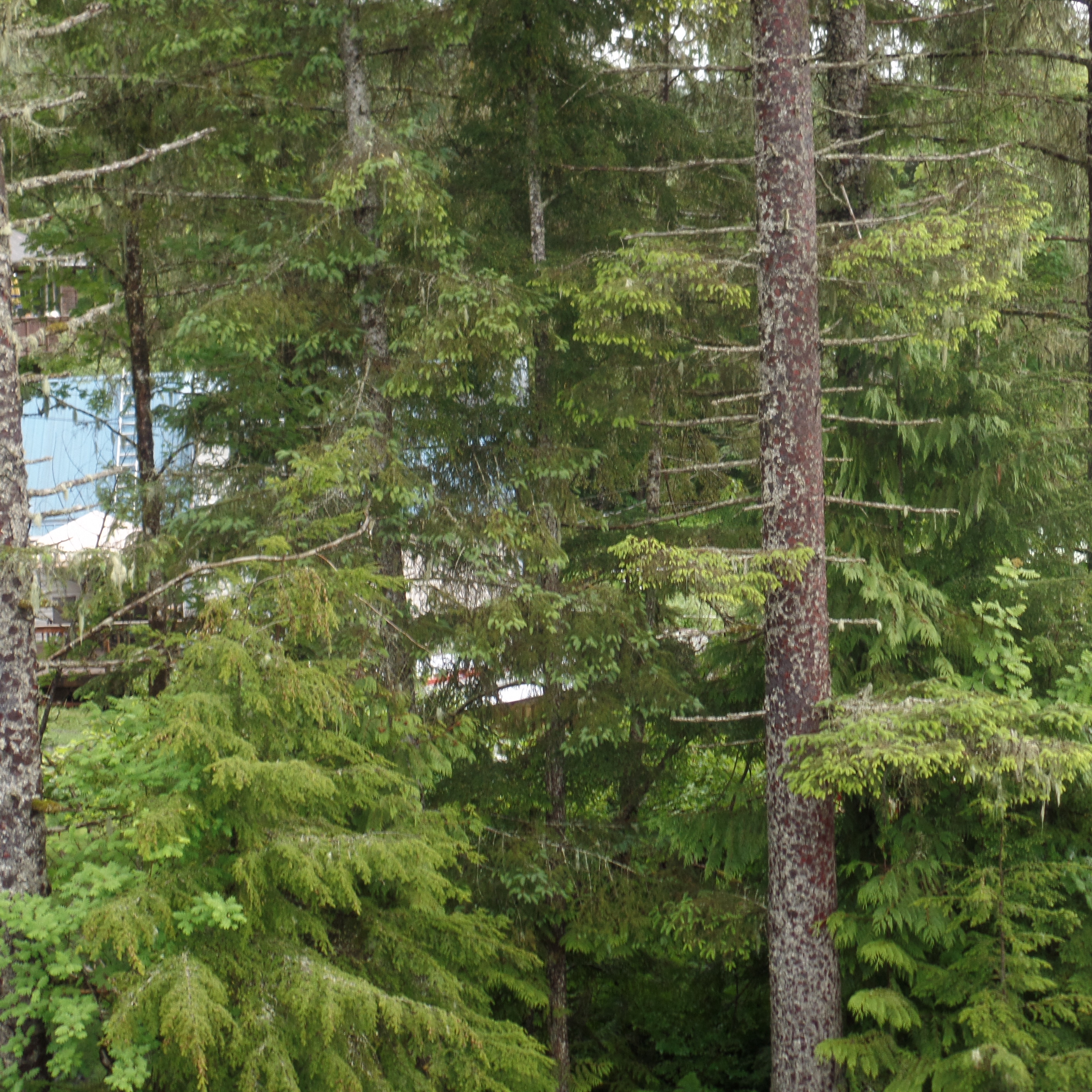
                             Southeast Alaska’s evergreen forests, like many elsewhere, suffer greatly, if there is scant rainfall.

SAMSUNG CAMERA PICTURES

                                            This is the Wrangell City Dock.  Even on a Sunday, there is much activity.

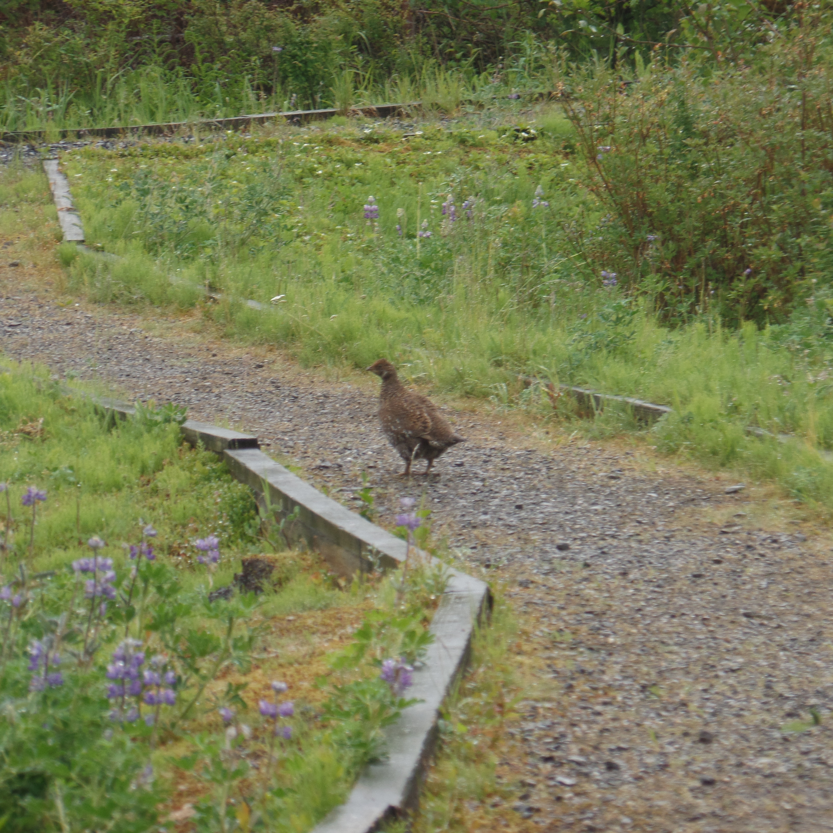
We made a visit up to Nemo Point, about five miles south of town, and spotted Alaska’s real state  bird, the ptarmigan.  I got this feeling that the bird was escorting us towards the fog-laden Point.

SAMSUNG CAMERA PICTURES

          That other “state bird”, the mosquito, was nowhere to be found, on this still stormy day.

The Road to 65, Miles 188 & 189: Northwestward, Days 9 &10, Whatcom, What May

5

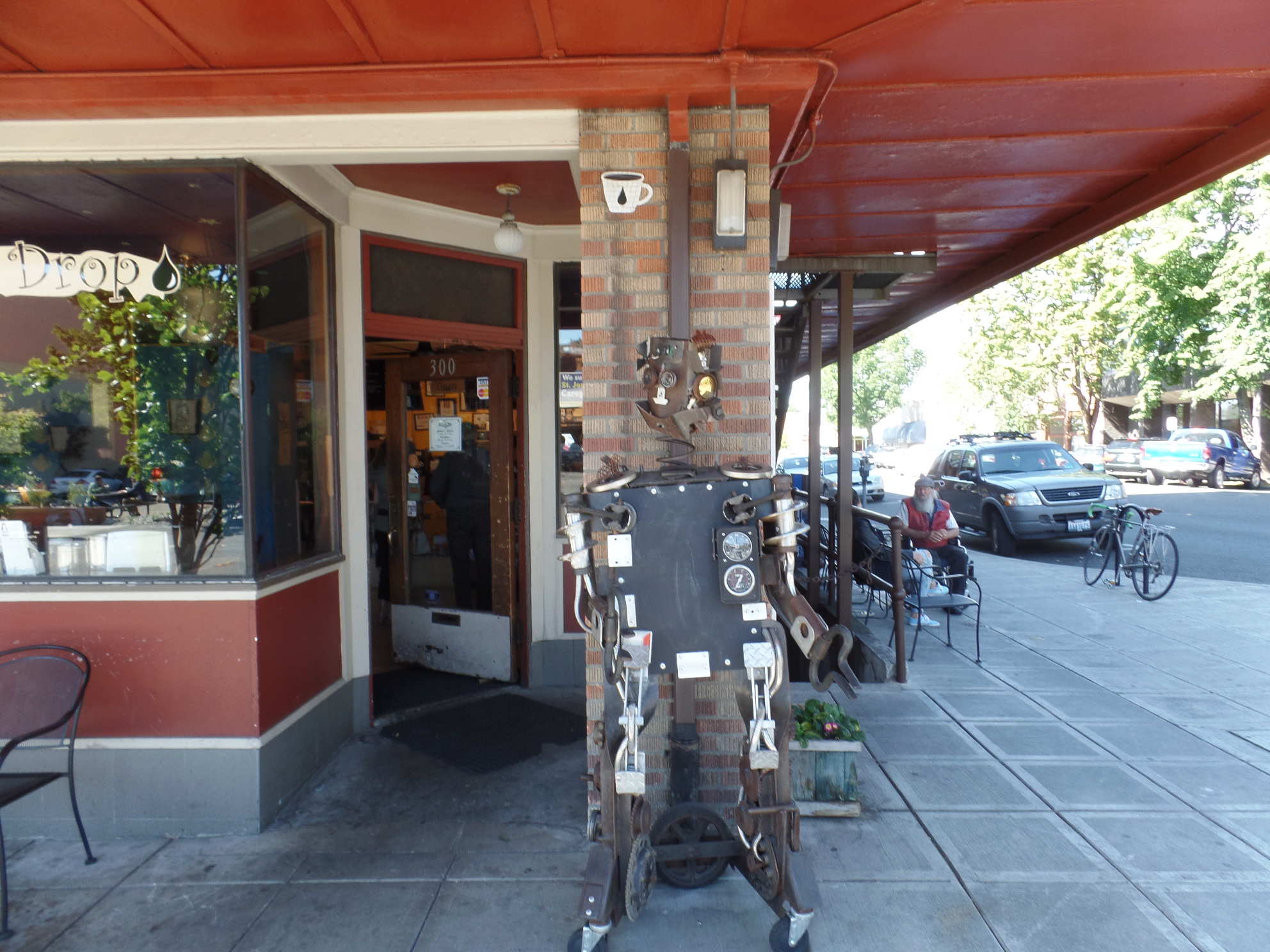
June 4-5, 2015, Bellingham- I have been here for nearly two days, and am amazed by the comprehensive effort that has gone into Whatcom Creek Trail, the Whatcom County Museum and the generality of Bellingham.  There are more one-way streets in the center of this town, than any other town I’ve seen, of comparable size.  This represented a pre-coffee wake-up call of short order, for me, this morning.  The coffee part, though, was suitably addressed at Black Drop Coffee House.  This is a congenial place-and seemingly many local residents’ ideal of a workplace.
SAMSUNG CAMERA PICTURES

The ceramic cups hold six ounces of “Joe”, so I got two refills, along with my cinnamon bun.

SAMSUNG CAMERA PICTURES

C3PO certainly approves.

The waterfront was my first order of business, yesterday, after enjoying the fruit of the bean at a fine west side coffee house, Lettered Streets, owned by two enterprising young ladies, and equally valued by the folks of that neighbourhood.

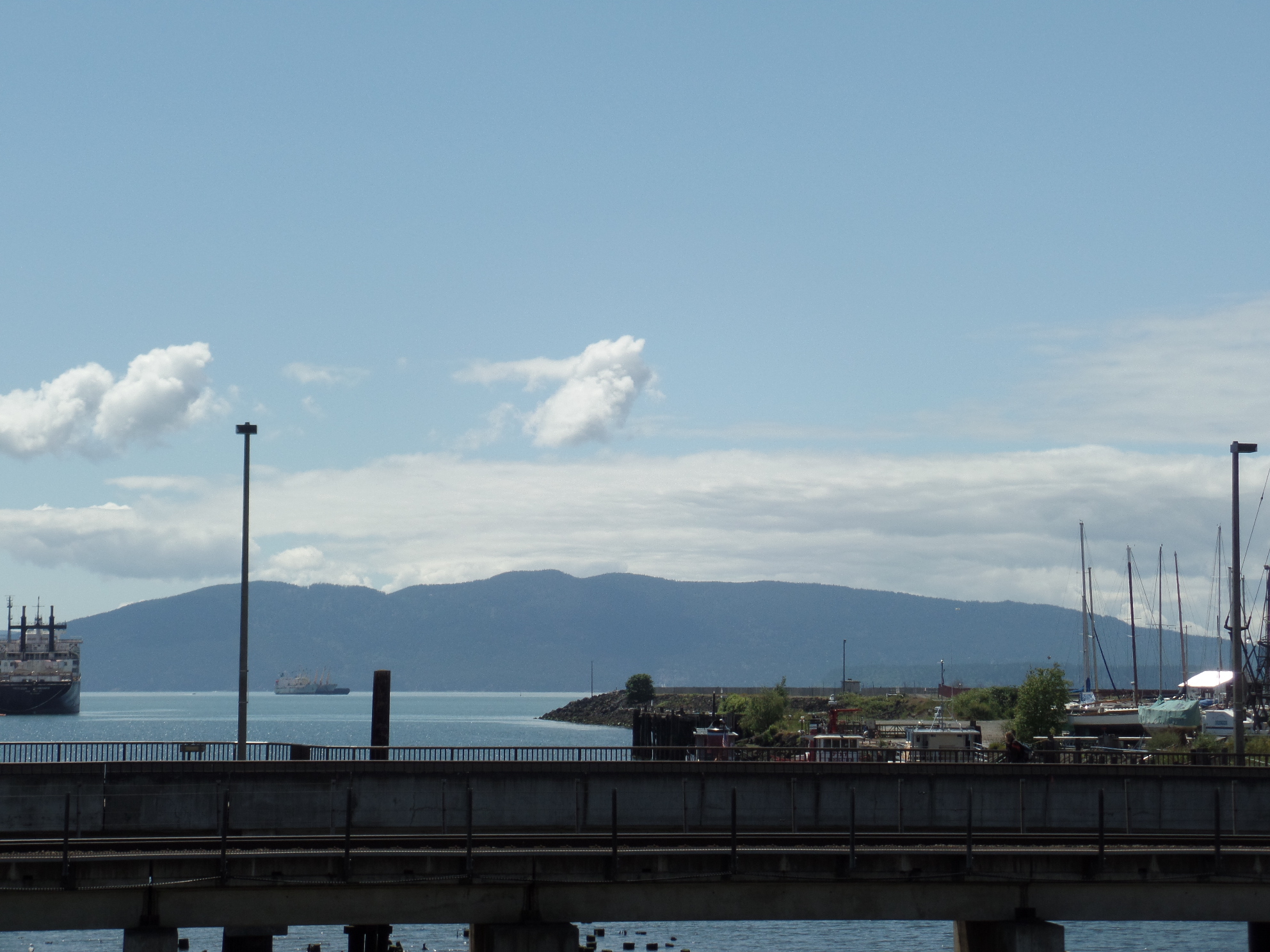
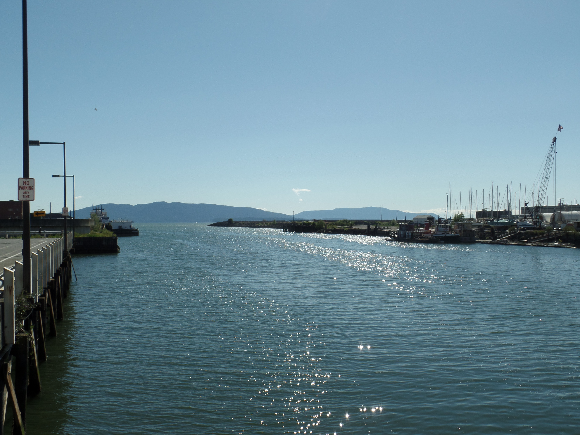
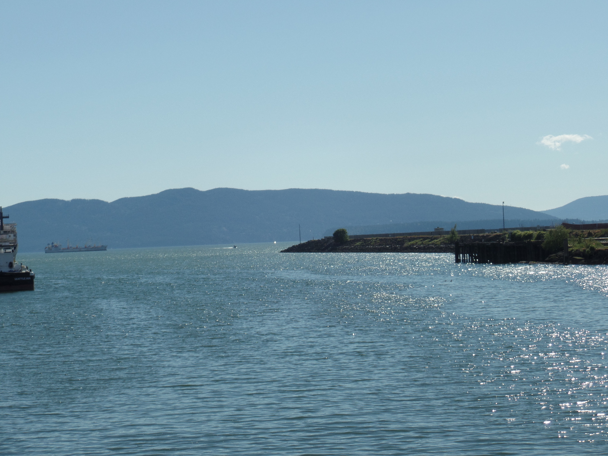
Here was my first glimpse of Bellingham Harbor.

SAMSUNG CAMERA PICTURES

Of course, this was at low tide.

SAMSUNG CAMERA PICTURES

Nonetheless, the harbor is a thriving place, and the second-busiest northern Washington port, after Everett.

SAMSUNG CAMERA PICTURES

SAMSUNG CAMERA PICTURES

SAMSUNG CAMERA PICTURES

SAMSUNG CAMERA PICTURES

My eastward path crossed by the Train Station.

SAMSUNG CAMERA PICTURES

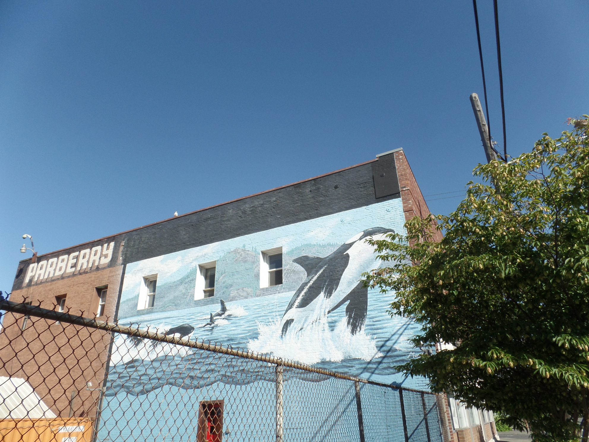
The majesty of the orca is the subject of a mural, at the Parberry Building.

SAMSUNG CAMERA PICTURES

I enjoyed a late lunch at this cozy downtown grill.  The bar tender/waitress was a cheerful, talkative lady, from New Orleans.  She has grown a love for the Northwest, and its four seasons.

SAMSUNG CAMERA PICTURES

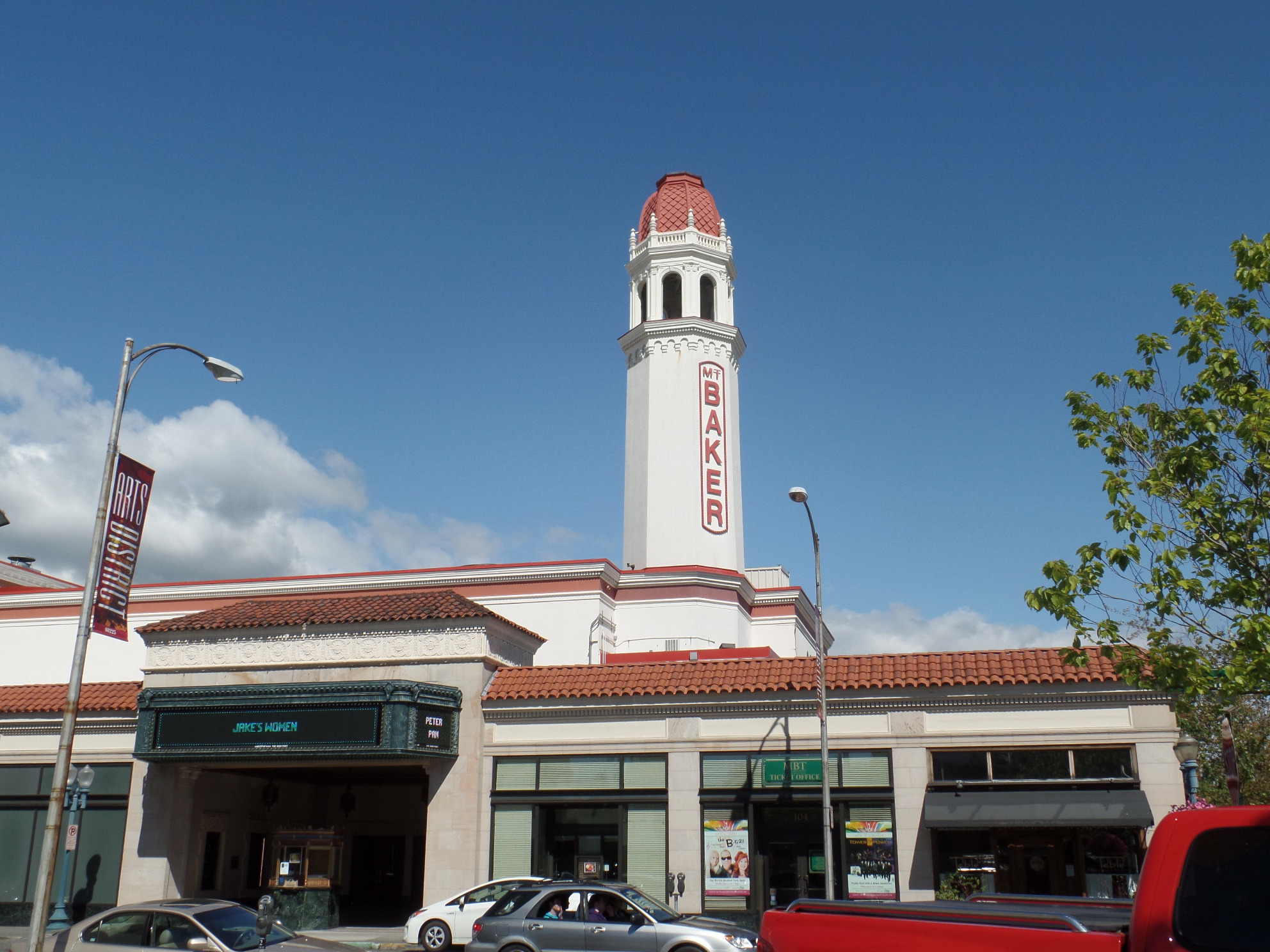
After lunch, it was time to enjoy the landmarks of uptown Bellingham.   This is Mount Baker Theater, home of  a local troupe.

The Whatcom County Museum is big on photographic exhibits, both at its main hall- the former Bellingham City Hall, and at Lightkeepers, a bright, multi-modal house, a bit further up the hill.

SAMSUNG CAMERA PICTURES

This is Old City Hall.  I was captivated by the “Owl and Woodpecker” exhibit.  “Woodies” are vital for the survival of many species, both avian and mammalian, through their excavation of domiciles, on trees both living and dead.

SAMSUNG CAMERA PICTURES

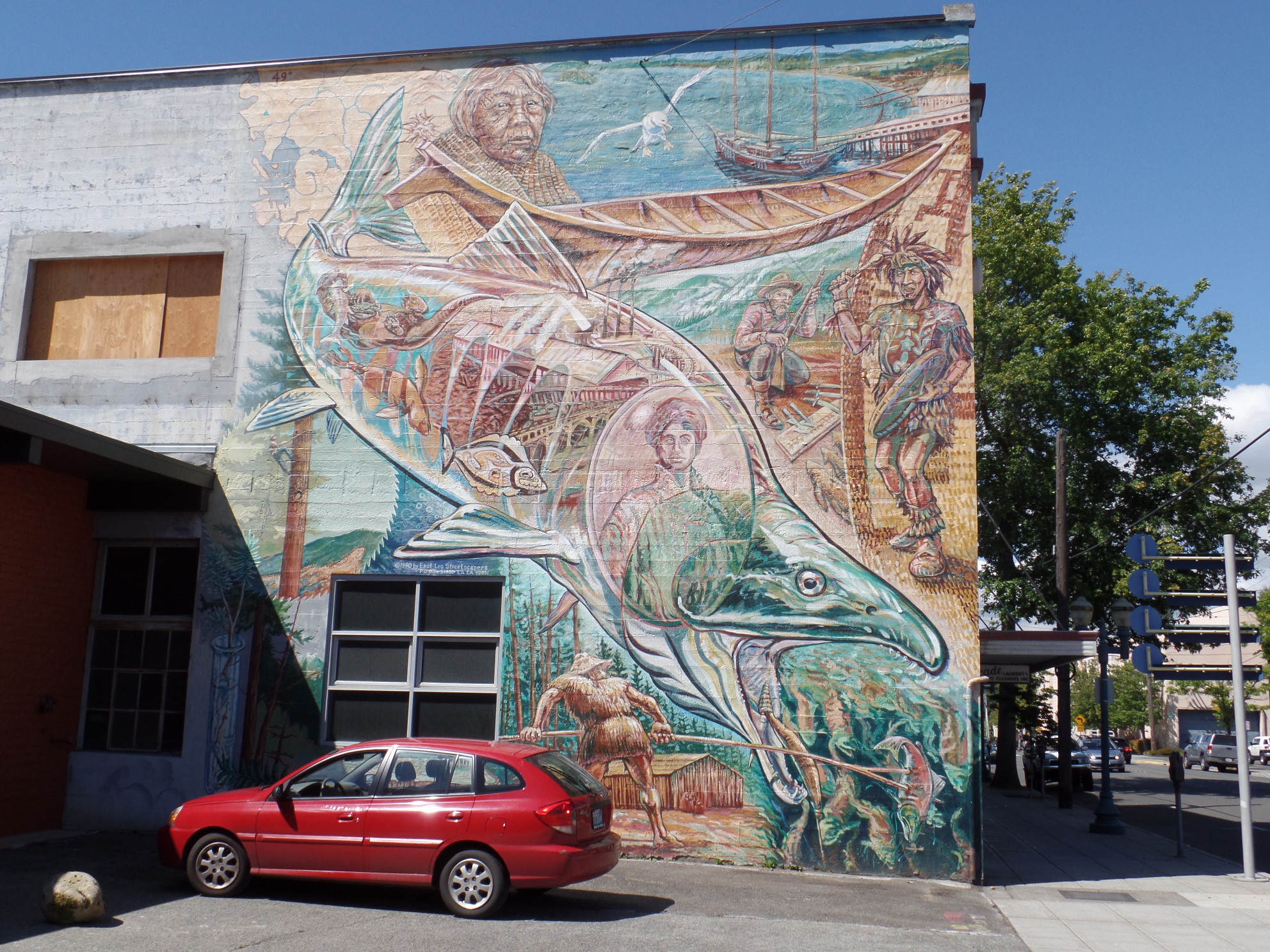
A Native Peoples arts and craft center next door was closed, but this mural tells of how fish are viewed, traditionally, by the Lummi and Nooksack people.

SAMSUNG CAMERA PICTURES

Here is a view of Bellingham’s bright Arts District.

SAMSUNG CAMERA PICTURES

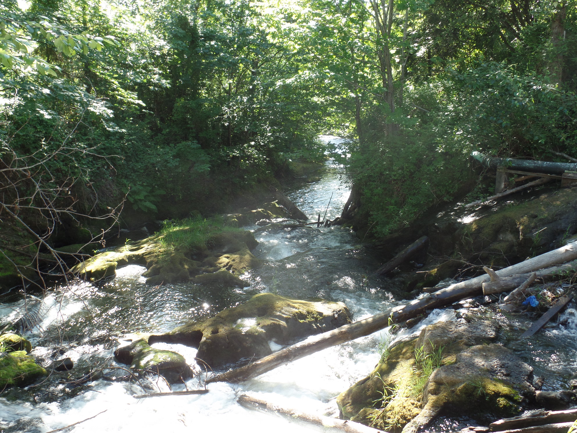
Whatcom Creek Greenway tells many stories, both old and new.

SAMSUNG CAMERA PICTURES

The dead tree still reaches out to the birds and fish.

SAMSUNG CAMERA PICTURES

These old wharf poles used to support a fishing weir, on the lower creek.

SAMSUNG CAMERA PICTURES

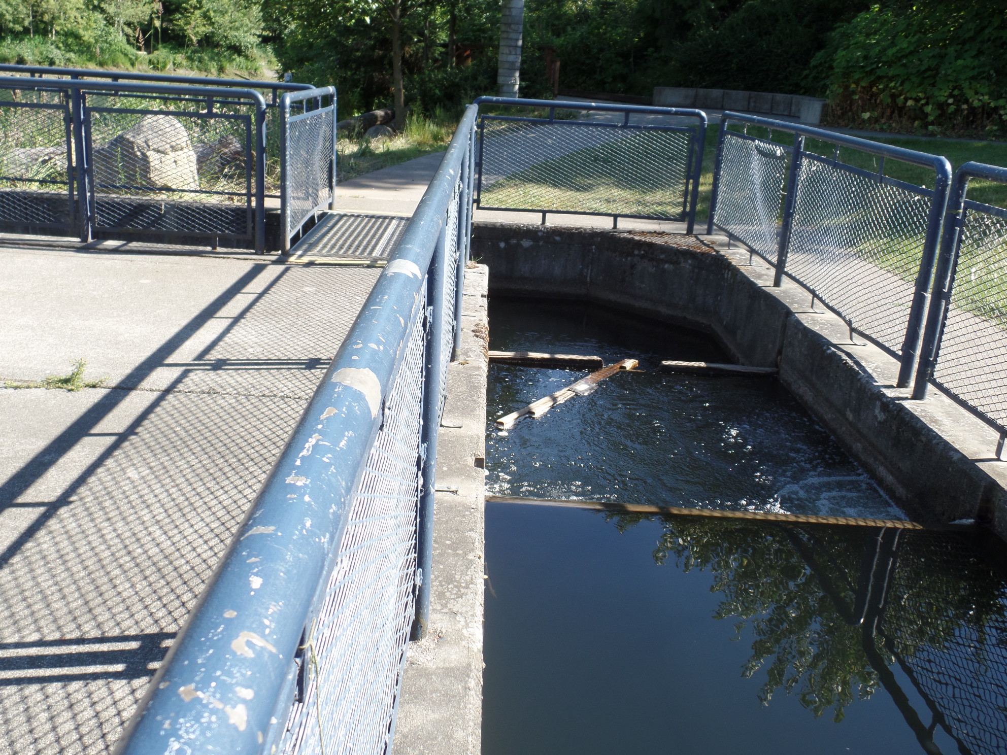
A salmon-spawning fostering operation, is in full swing, on Whatcom Creek.

SAMSUNG CAMERA PICTURES

A friend in Wrangell, Alaska has designed some of the spawning boxes that help make this operation one of the largest in the American West.

SAMSUNG CAMERA PICTURES

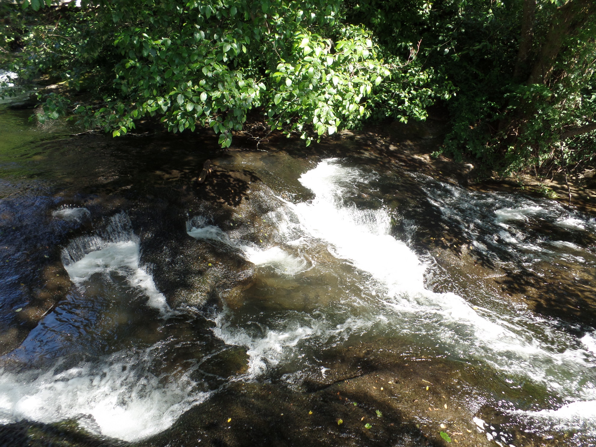
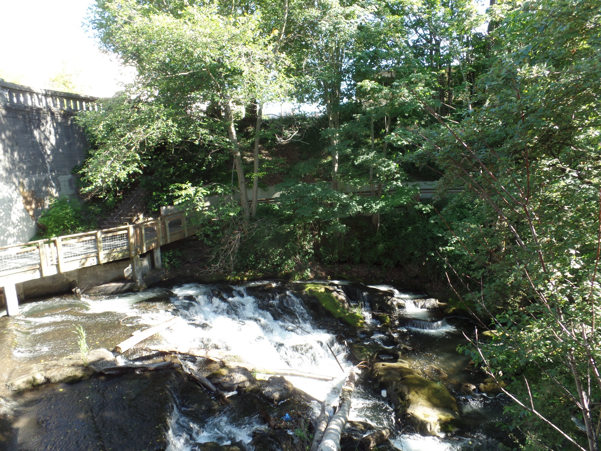
The Whatcom is certainly a welcoming place for the noble fis

SAMSUNG CAMERA PICTURES

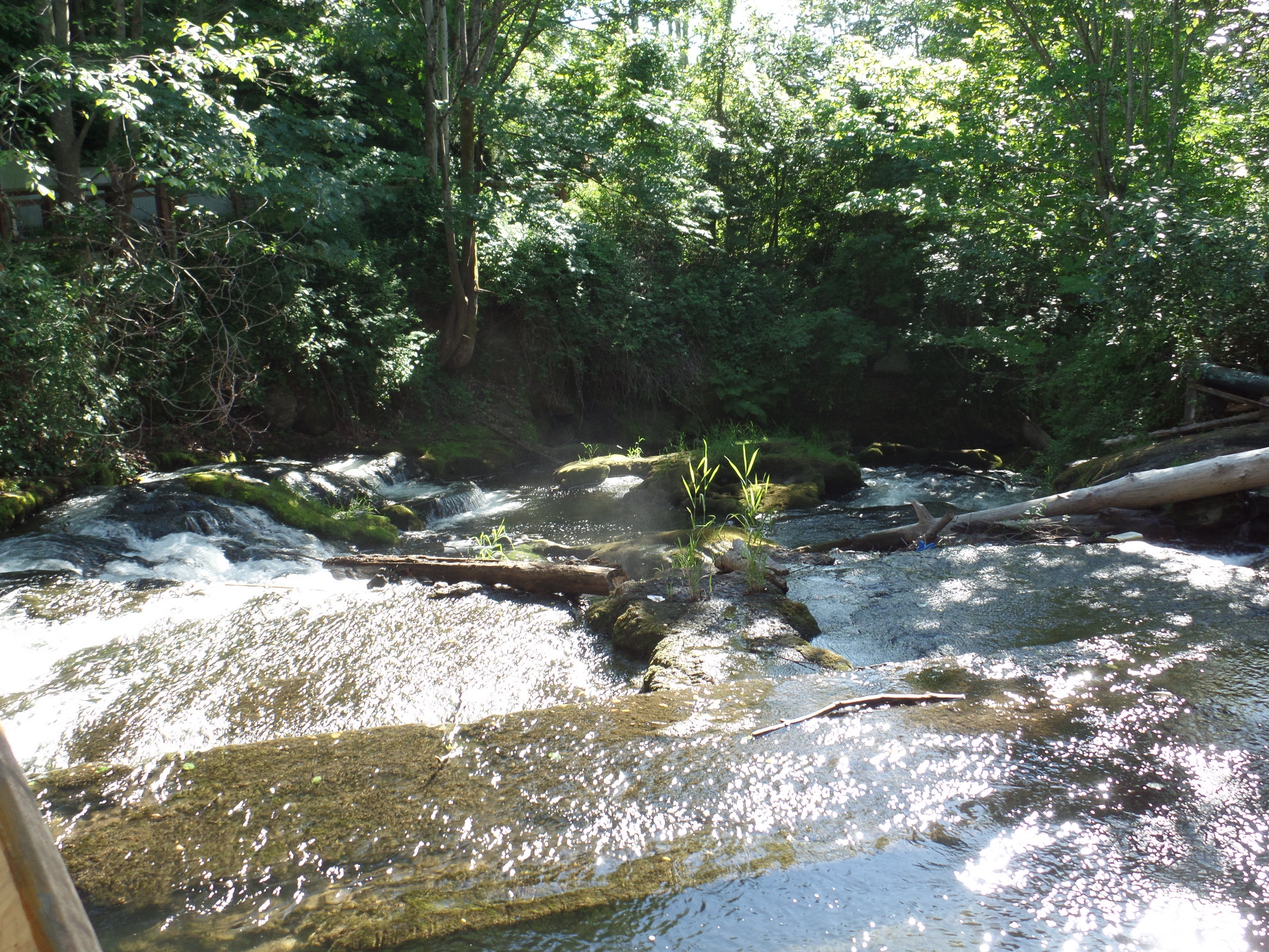
I could have sat for hours, contemplating the life-giving strength of the rapids, and there were many who were doing just that.

SAMSUNG CAMERA PICTURES

Here is the beginning of the salmon run.

SAMSUNG CAMERA PICTURES

SAMSUNG CAMERA PICTURES

SAMSUNG CAMERA PICTURES

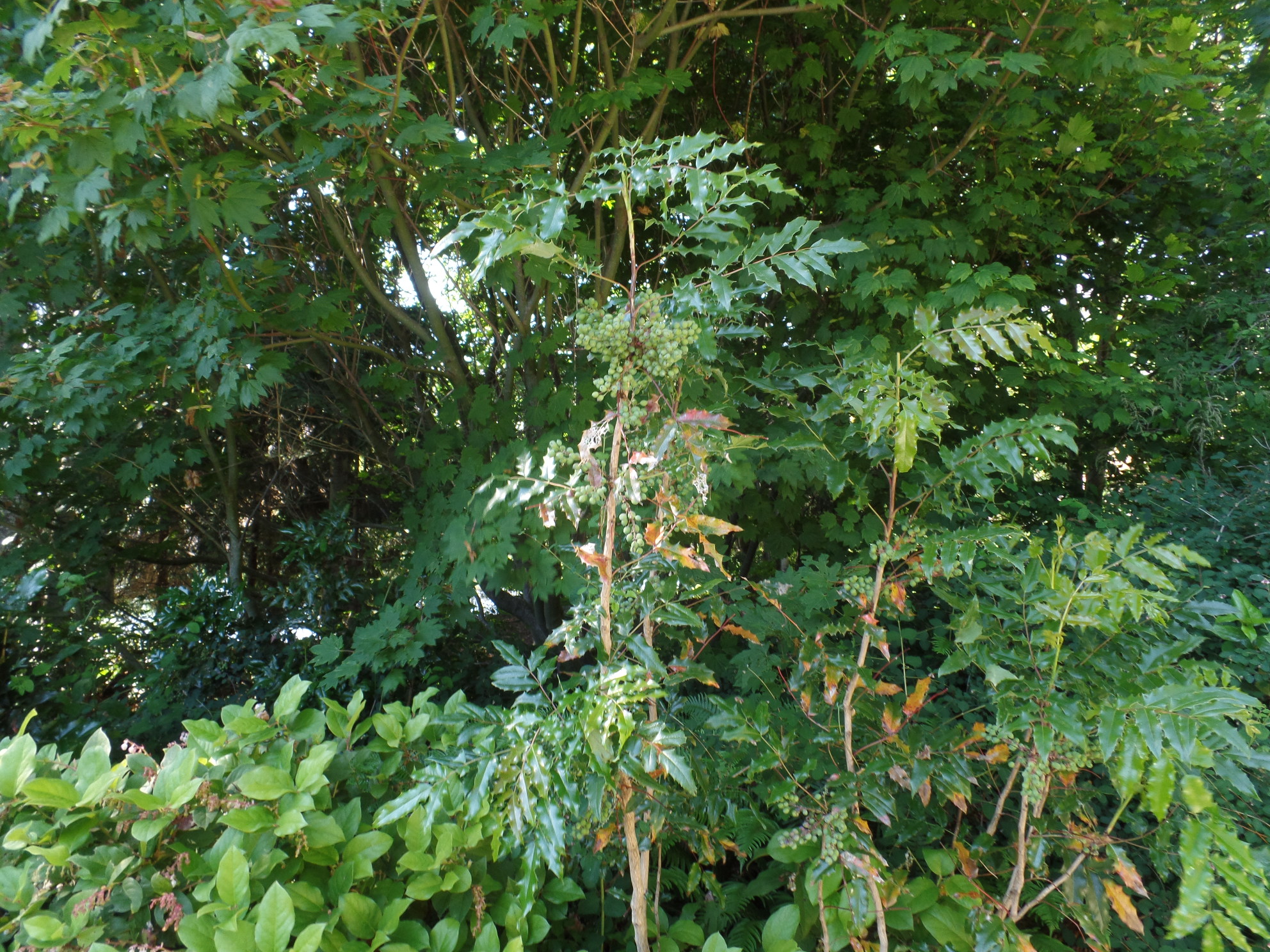
These lilacs were the beginning of the comprehensive “Native Plants” promenade.

SAMSUNG CAMERA PICTURES

These Baldhip Roses are featured, just south of the creek.

SAMSUNG CAMERA PICTURES

Each of the nearly two-dozen plants shown along the trail has an accompanying sign, giving the plant’s names, in Lummi and in Nooksack, as well as the proper uses of the plant.

SAMSUNG CAMERA PICTURES

Beach strawberry is another valuable medicinal plant.

SAMSUNG CAMERA PICTURES

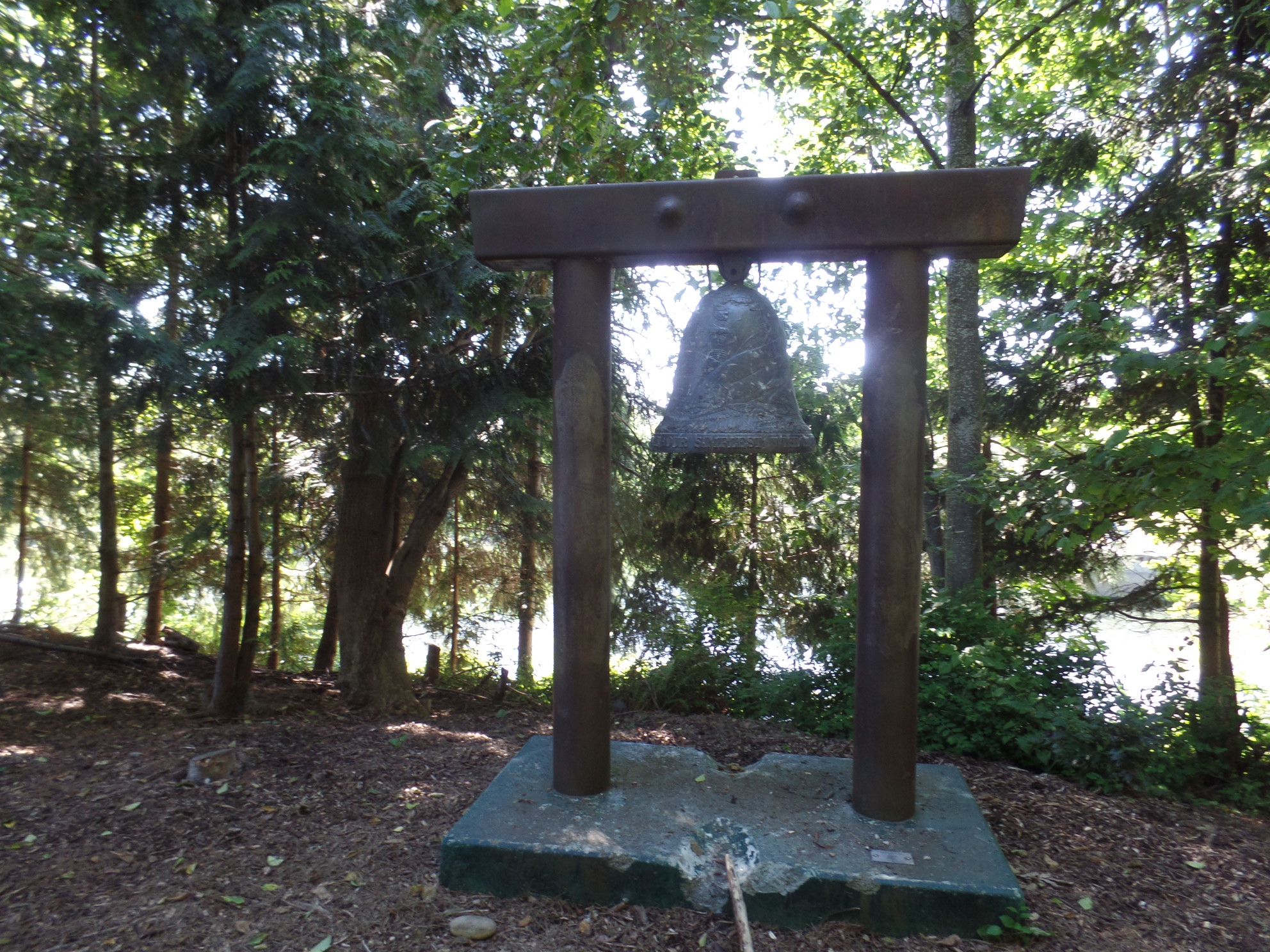
A ship’s bell is kept here, as a reminder of the strong tie between sea and mountain.

SAMSUNG CAMERA PICTURES

SAMSUNG CAMERA PICTURES

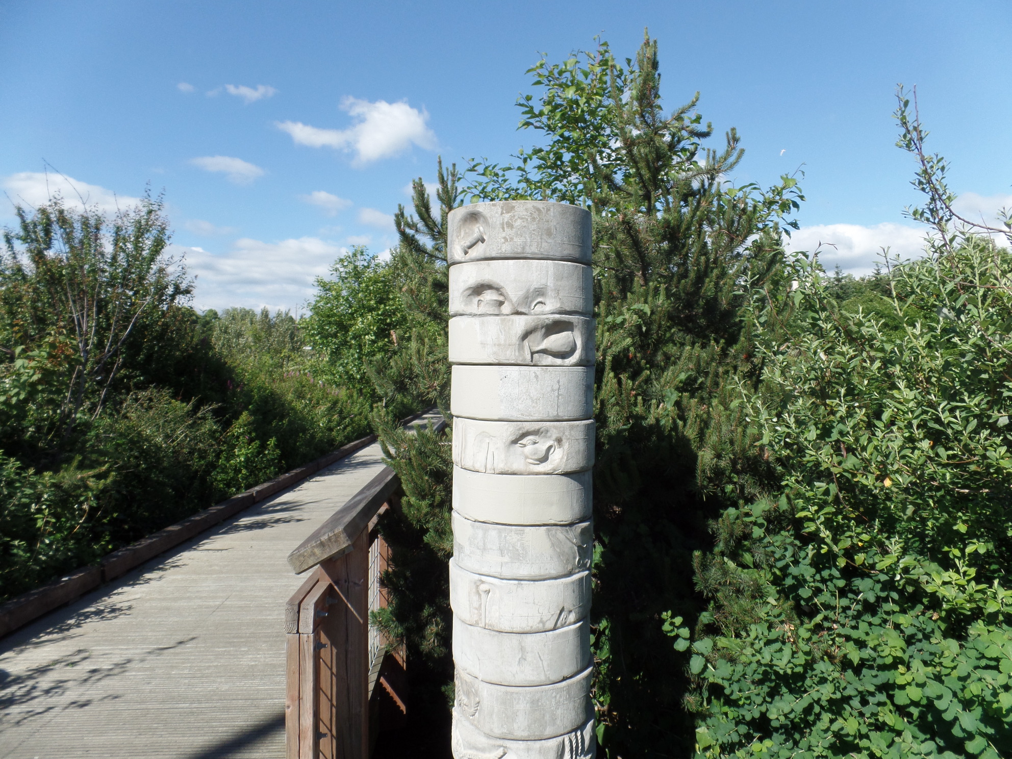
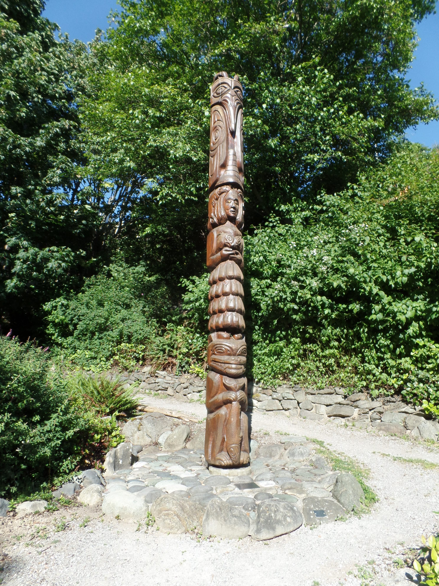
Read the fascinating story behind this totem pole, in the frame below.

SAMSUNG CAMERA PICTURES

I hope this can be enlarged on the reader’s screen.

So, Bellingham, in a limited time, reveals itself to be a far more important cornerstone of the Northwest, than a cursory ride north on I-5 would ever indicate.  I’m glad to have come back down here and spent the extra hours.