Way back on May 4, when the temperature was 82 in Tucson, I spent some time inside the Franciscan mission of San Cayetano de Tumacacori, some 48 miles south of the city. In the previous post, the exterior of the mission and its splendid surroundings were highlighted.
Here are some views of what lies inside. First are the door to the foyer and the anteroom’s ceiling.
This brick seat was found in the baptistery, just to the front and left of the nave.
The nave itself served as a seating area for the congregants and ushers.
The sanctuary is still kept somewhat colourful, although it is being slowly restored.
Like many other missions and cathedrals, San Cayetano featured a high, domed ceiling.
The walls had three layers of brick.
Here are what’s left of the steps to the choir loft.
The grandeur, while faded in our time, nevertheless has kept the interest of those who look to our heritage for a sense of how to discern what works from what needs to be cast aside.
In the next two posts, I will focus on the third great piece of Spanish legacy, south of Tucson: The still active parish of San Xavier del Wa:k (pronounced “bvak”).
The above is a lame parody of New Mexico’s slogan, “Tucumcari Tonight!”, from the 1980’s. Tumacacori, three miles southeast of Tubac, in southern Arizona, is no parody, though. I spent about 1 1/2 hours there, a week ago Saturday, after checking out the art and history of Tubac.
Tumacacori’s mission, founded by Jesuits and later taken on by the Franciscan order, after the Jesuits were expelled from New Spain, was the reason the garrison at Tubac was built in the first place.
I have split this visit in to two posts, for simplicity’s sake. This post focuses on the outside of the mission and its garden, orchard and annexes. Upon arrival, one is greeted by the modern Visitor’s Center, after which a side trip to the lovely front garden is in order.
The area occupied by the Jesuit mission was right in front of the still-standing Franciscan structure.
A closer look at the facade of the later mission shows the endurance of Moorish style.
A small nun’s quarters was maintained to the east of the mission.
The compuerta was used to channel water from the nearby Santa Cruz River.
Other acequias retained water for livestock and the watering of heirloom fruit trees.
There was a large orchard, just east of the mission and convento.
To the immediate northwest of the mission, there is a cemetery and mortuary chapel.
Behind these, there lies the ruin of a storage building.
Also in the southeast sector of the grounds is a traditional Tohono and Pima dwelling: Melhok Ki.
Above all these, the mission bell still reigns supreme.
The Presidio Museum and Otero Hall preserve the story of Tubac’s on- again, off-again Spanish settlement. As mentioned earlier, Toribio Otero and his descendants were largely responsible for the early efforts at educating, and refining the quality of life of, both Spanish settler children and the indigenous Pima. Don Toribio was also a farmer and rancher.
His implements for bringing water from the aquifer underneath, and for grinding corn and amaranth, were those commonly used in Spain at the time. It is often forgotten that the west of Spain is much like our arid Southwest. This was one of the reasons the Spanish were not put off by the climate of places like Arizona, New Mexico, west Texas and eastern California.
Here are the water pump and examples of the grindstones used in Pimeria Alta, in the Spanish era.
The Spanish did not import everything, though. Native mesquite and ocotillo were used in construction, especially in roofing and fence-making. Adobe was a common building block.
The living conditions of the Oteros, and other second-wave Spanish settlers in Tubac in the 1780’s, were not as comfortable as those of the great haciendas in other parts of New Spain. The quarters were small and the furnishings sparse.
Settler women, though, made sure there were reminders of home, at least in their apparel.
Gold was always on the minds of the conquistadores, to the point that the ossuaries which held the remains of the departed, for whom coffins were regarded as a lower class repository, were made of the precious metal.
Fast forward a bit, and an American item of note in Otero Hall is a Washington hand-printing press. It was used to print the first newspaper in Tubac (1859) and is still operational.
The Rojas House, built in 1890, was a caretaker’s residence just south of the Presidio, until the last caretaker, Luisa Rojas, died in 1989. It is now part of the Presidio of Tubac State Park.
The Rojas yard, like many in the area, has its own shrine to the Madonna and a water trough.
After nearly three hours among the shops and in the Presidio, it was time to cross the foot bridge to Tubac Stone House,
and enjoy some lunch.
There was another treat in store, three miles down the road: Tumacacori.
The Spanish-era fort, the ruins of a barracks, St. Ann’s Church (built over the site of Mission Santa Gertrudis), Otero Hall and the Rojas House, where the last caretaker of the Presidio lived, until her death in 1989- all comprise Arizona’s first state park: The Presidio of Tubac. Together with Tumacacori Mission, three miles to the southeast, the Presidio tells the story of the Spanish settlement of Pimeria Alta, already home to the Pima and Tohono people, who still live in much of southern Arizona.
I started my visit to the Presidio at St. Ann’s.
The church was built in 1916, over the foundation of Mission Santa Gertrudis, which was established by the Franciscans in 1752. I next wandered around to the Visitors’ Center, and learned of the often sketchy relationship between the conquistadors and the indigenous Pima. When the native people revolted in the mid- 1770’s, the Spanish abandoned the Presidio and withdrew to Tucson.
South of the center, the carefully-arranged outline of the Presidio’s original foundation gives us a fair idea about life in a Spanish barracks, in the long run-up to Mexican independence.
As with any settlement, at least one citizen had the foresight to call for the education of its children. Toribio Otero initiated the mission-based education of Spanish and Indian children alike, when land-grant farmers returned to Tubac in 1789. His descendants secured the first public school in Tubac,and one of Arizona’s first such schools, in 1885.
In the next post, we look at Otero Hall, named for Don Toribio, and Rojas House, which housed a pioneer and caretaker family from 1895-1989.
Just “behind” Tubac’s Main Street, to the east, is the heart of the town’s art scene: Central Plaza.
Many southwestern towns have such an area, as do most Latin American communities. Tubac’s plaza is ringed by several studios and shops. At its western edge lies the Tubac Center of the Arts- a major showplace for young artists from around Santa Cruz County.
The Center adorns its entrance with colourful sidewalk tiles and a rock fountain. There is plenty more colour inside, but alas, not to be photographed.
At the edge of the Plaza stands one of the sentinel houses of the old Spanish garrison- still preserved by the historical commission, though not officially a part of Tubac Presidio State Park.
There is a bright future for the arts in this northern tier of Arizona’s southernmost county. It involves all media of the arts, from painting to bric-a-brac.
If you have a full day of arts and history, and don’t want to move any further until the next day, follow this path-
to this salubrious spot.
There are only two rooms, I’m told, and the price is a well-guarded secret, available only by phone. Nonetheless, it’s on my list for “one of these days.”
I spent last Saturday in the small southern Arizona towns of Tubac and Tumacacori, before heading back to Tucson and Sabino Canyon, for a short devotional with a friend.
Tubac is well-known as an arts haven, as well as having been a fortress in Spanish colonial days. This post focuses on the art scene and its various locales, along Main Street.
One is greeted at the north entrance to Tubac by the five flags which have flown over the town: US, Mexico, Spain, Confederacy and Arizona. The Rebs ruled southern Arizona for about eighteen months, by default, as the Union troops were busy elsewhere. They were driven out by California troops in 1863. Anyway, Tubac became an art colony in the mid-Twentieth Century. It has drawn metallurgical artists, sculptors and painters since 1953. Here are some scenes from Main Street.
Casa Maya has two locations,both featuring a variety of Mexican metal work and ceramic ware.
Spanish colonial styles are also ubiquitous, in both brick and adobe. Cloud Dancer is a gallery housed in a Spanish brick garrison- style structure, complete with a bell tower.
The lion figures prominently in this area’s decorative art.
Later, emerging from Tubac Presidio State Historical Park (more on that later), I came upon a large emporium, La Paloma, which features the wares of Central America.
Across the street from that massive series of shops lies a Bed and Breakfast named for its original occupant, Charles Poston. He ruled the area as “representative” of the U.S. Government, with an iron fist, during the middle decade of the 19th Century- even being called “Colonel” by the local settlers. Poston left Tubac when the mine which drew him there closed in 861. Poston House is still a thriving establishment.
The next post will focus on Tubac’s Central Plaza, east of downtown.
Yesterday was something of a day of service. I sat much of the day at a Red Cross table during the Prescott Wild Fire Expo, explaining to as many people as would listen, how to prevent fire in their homes, what to do if they had to evacuate and how to pick up the pieces afterwards.
When it was time to pack up the display, I decided to walk around the Expo one last time,
then headed over to the Prescott Chalk Art Festival- three blocks away. This is an outgrowth of a Sixteenth Century Italian art form. Here, the mind can wander and see many things other than what is obvious- just as it can while gazing at clouds, or rock formations.
Here are several of the chalk artworks I saw yesterday afternoon.
As you can see in a couple of the frames, there was work yet to be done. Lady Liberty is always a work in progress, and that’s a good thing!
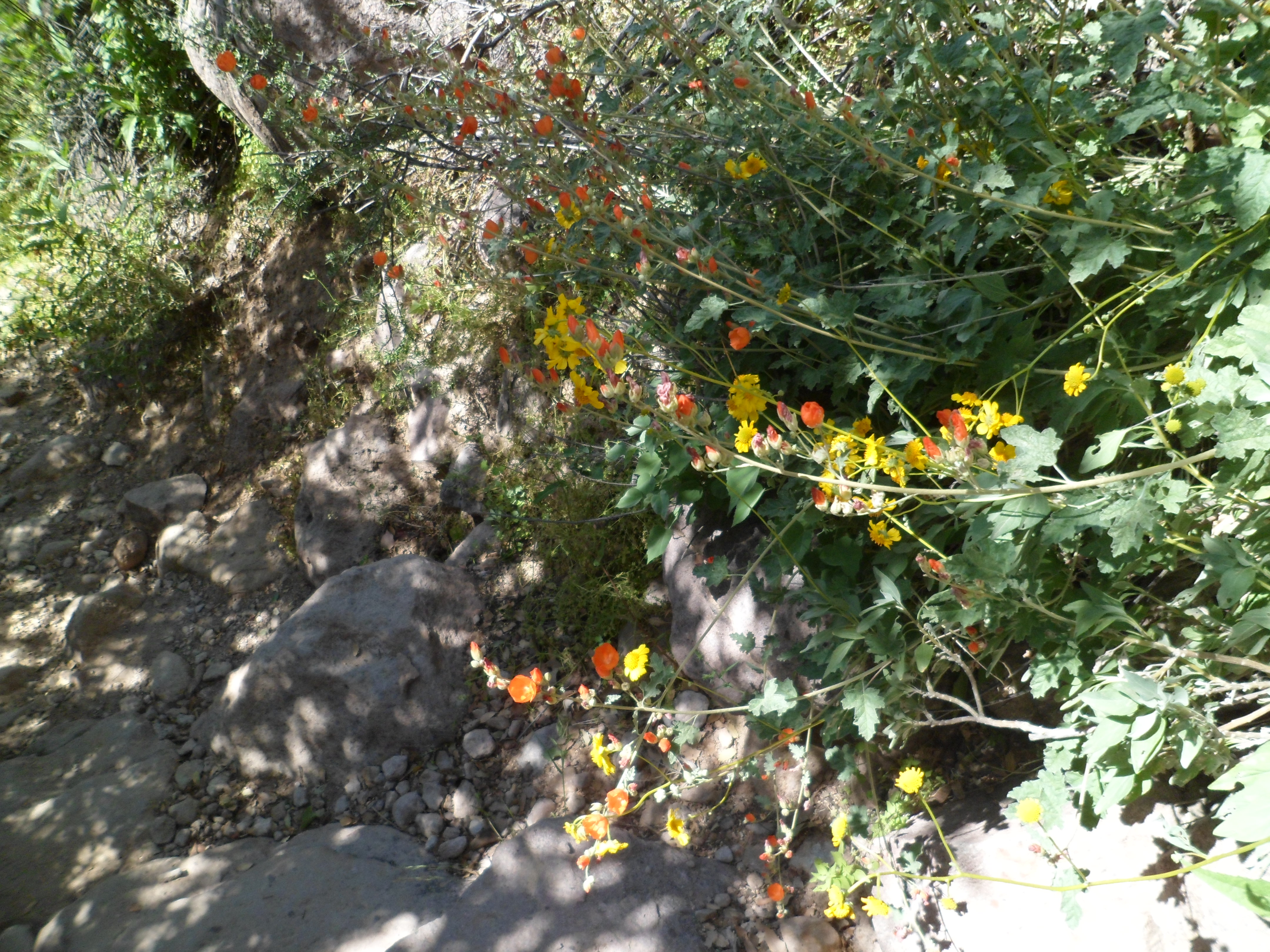
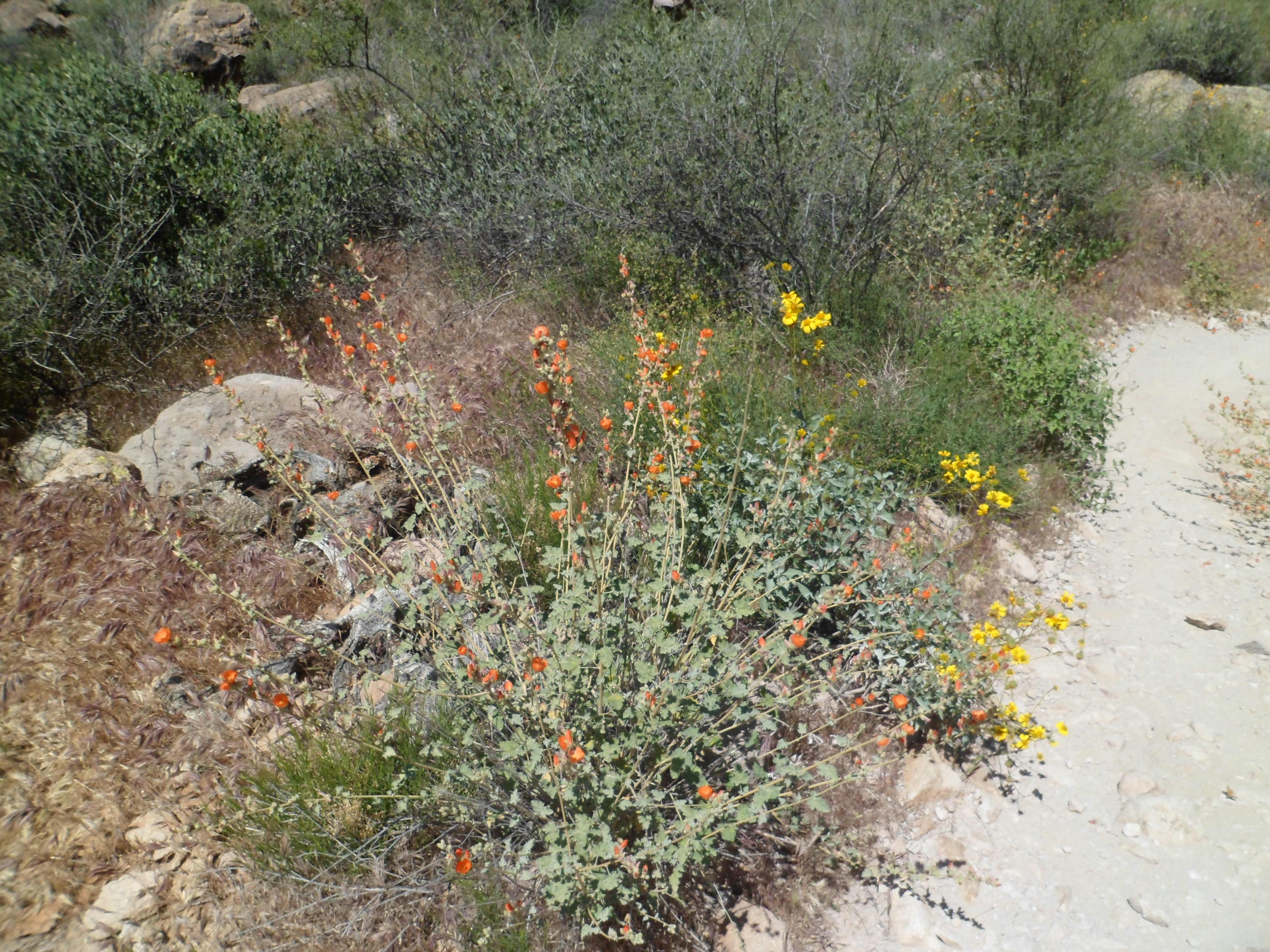
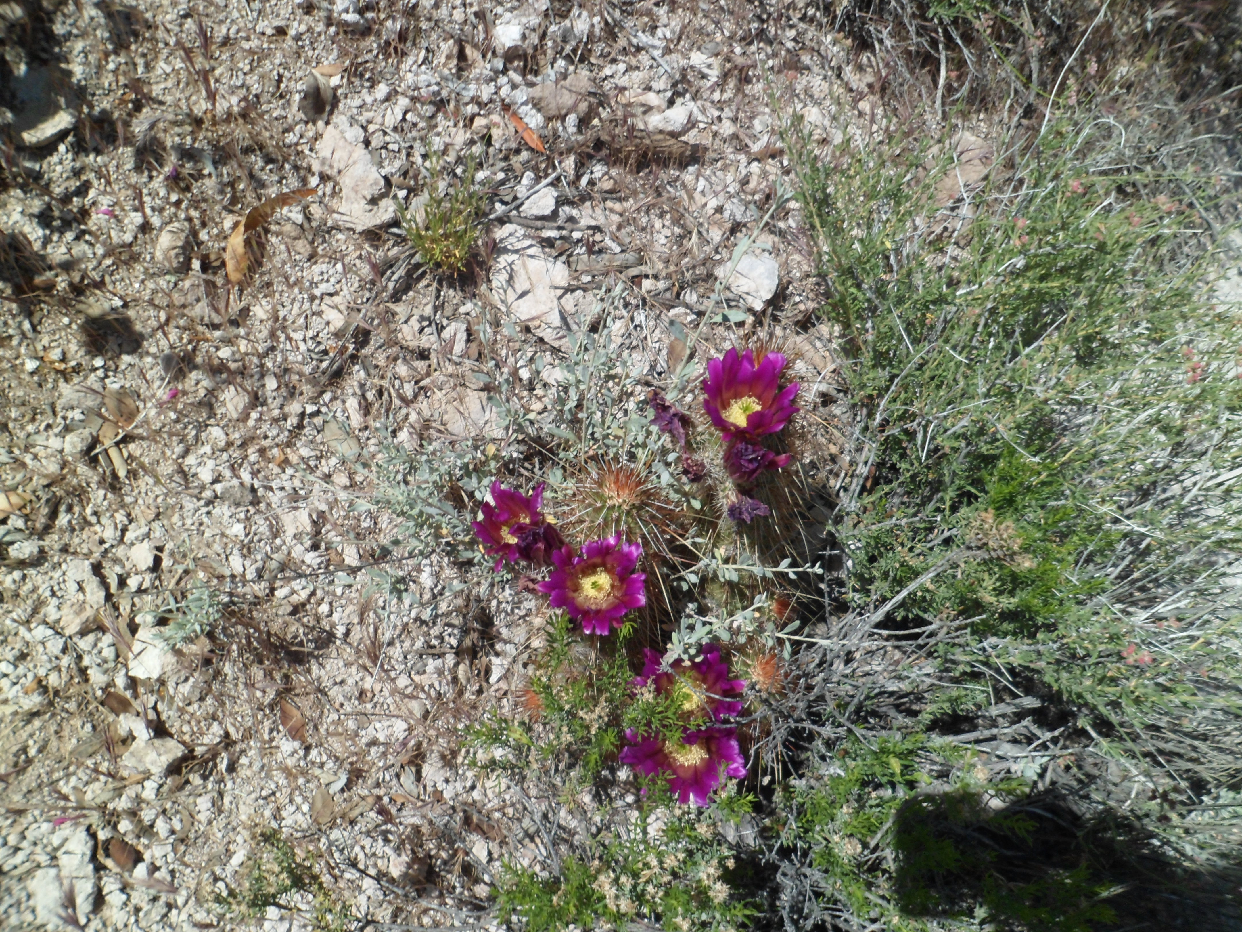
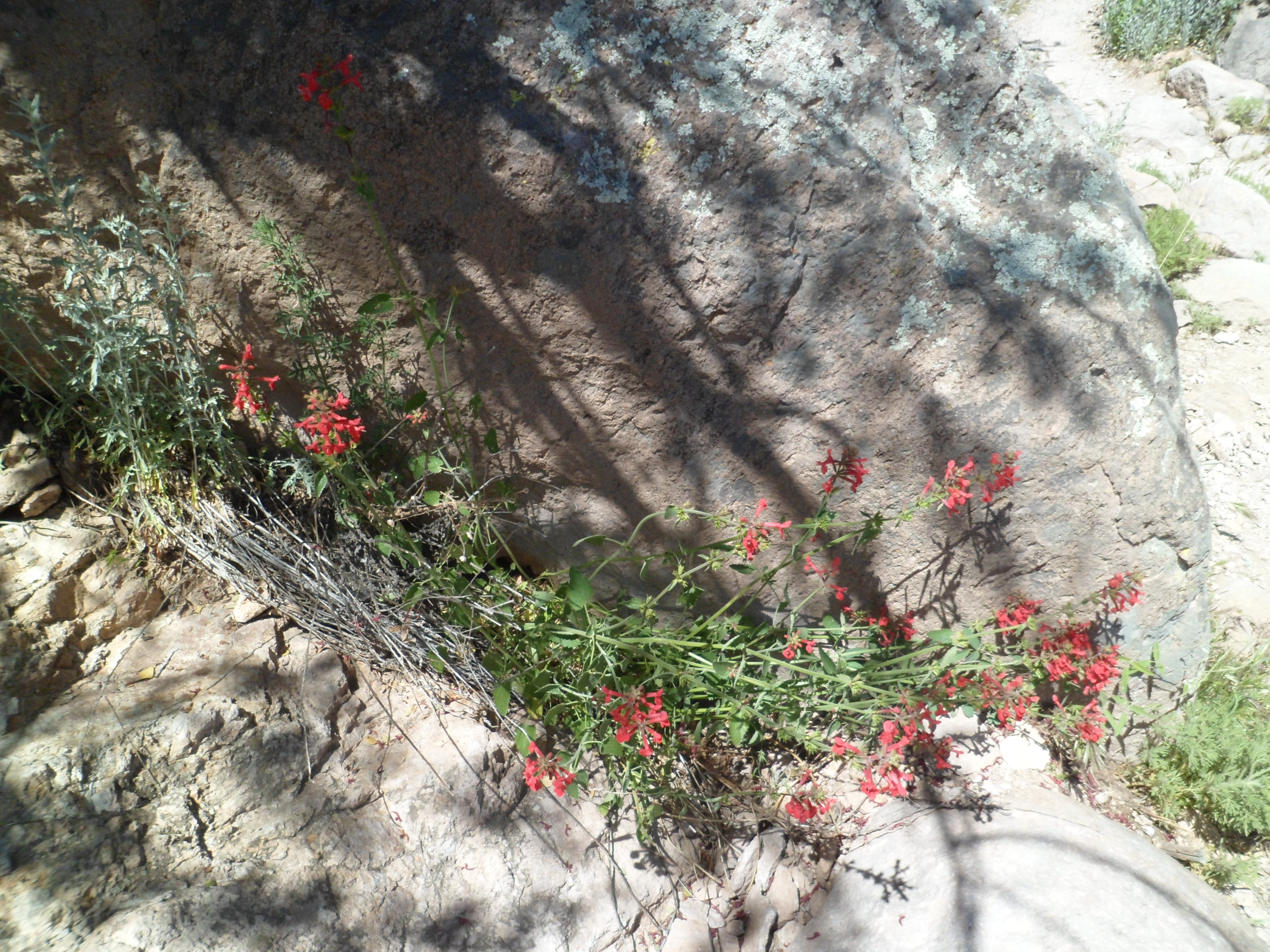
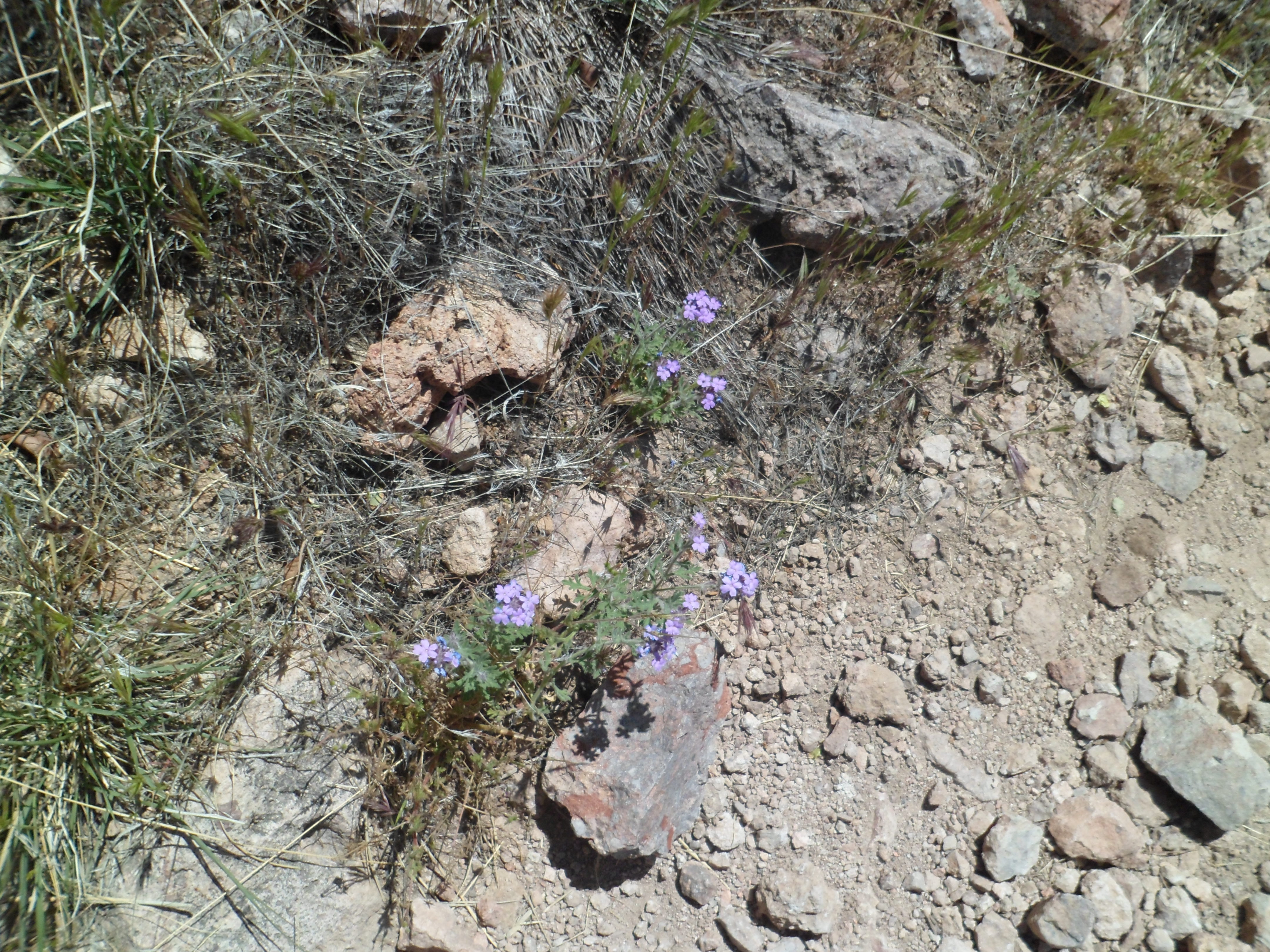
Part of what makes the Sonoran Desert a cut above surrounding arid regions is its lushness. The Superstition Mountains figure prominently among those sections of the Sonoran in which wildflowers run riot from April to early June.
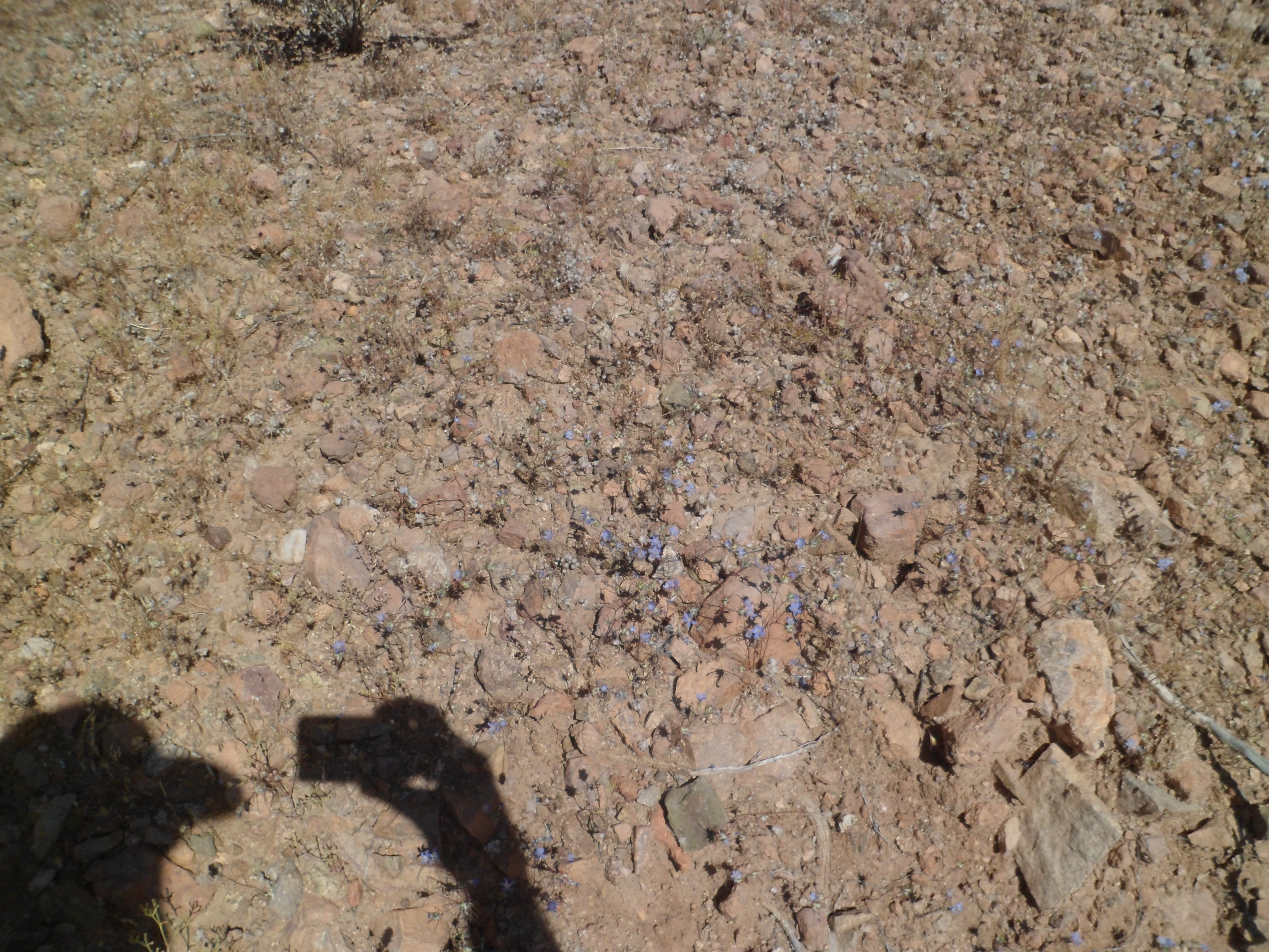
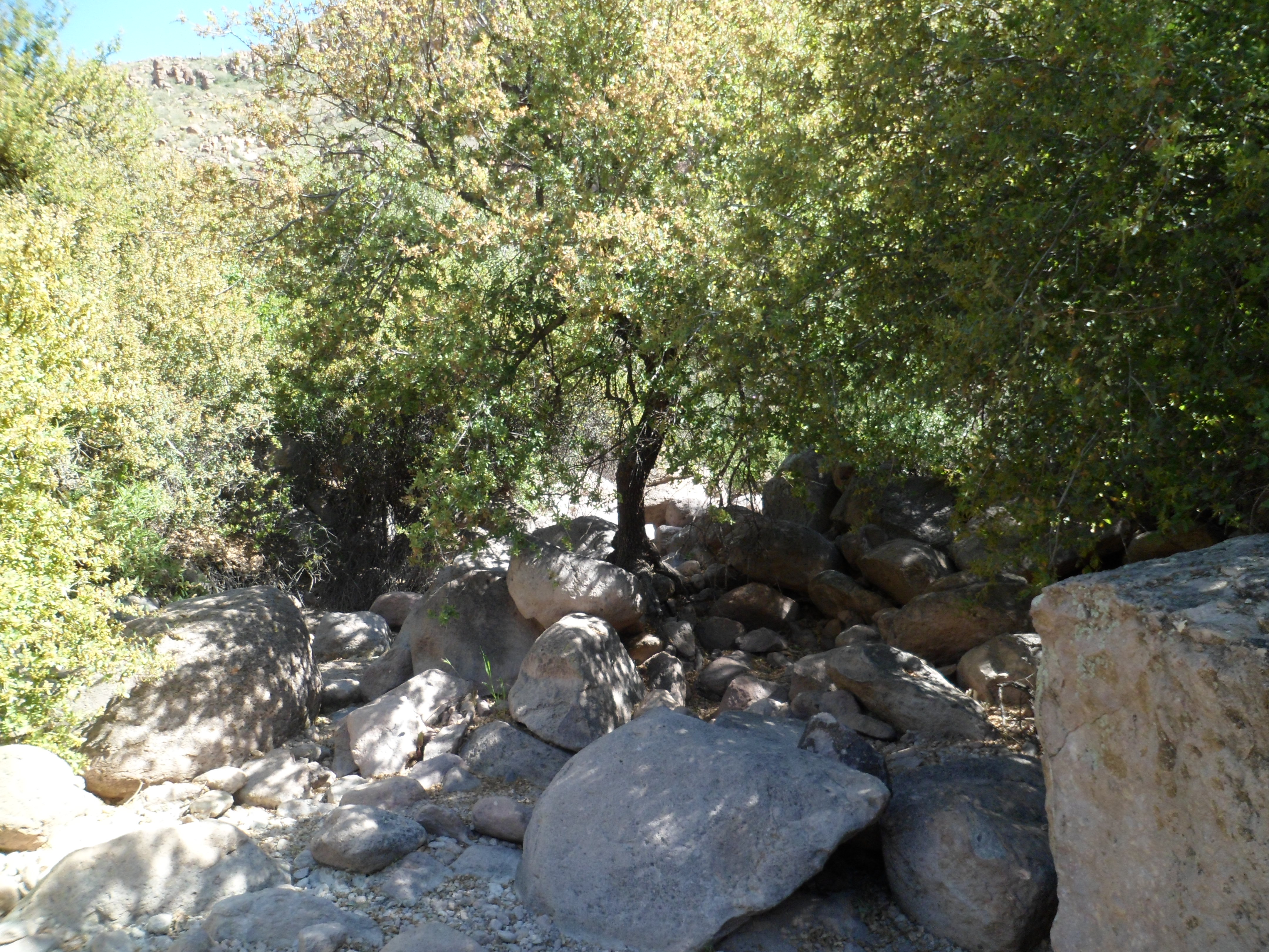
When I visited last Saturday, the colours were beginning to emerge, and the Gambel’s oak was very thick in several spots along the Peralta Canyon, East Boulder Canyon and Dutchmans Trails.
Here is part 3 of this series on the Superstition Wilderness. Hope you enjoy the plant life.
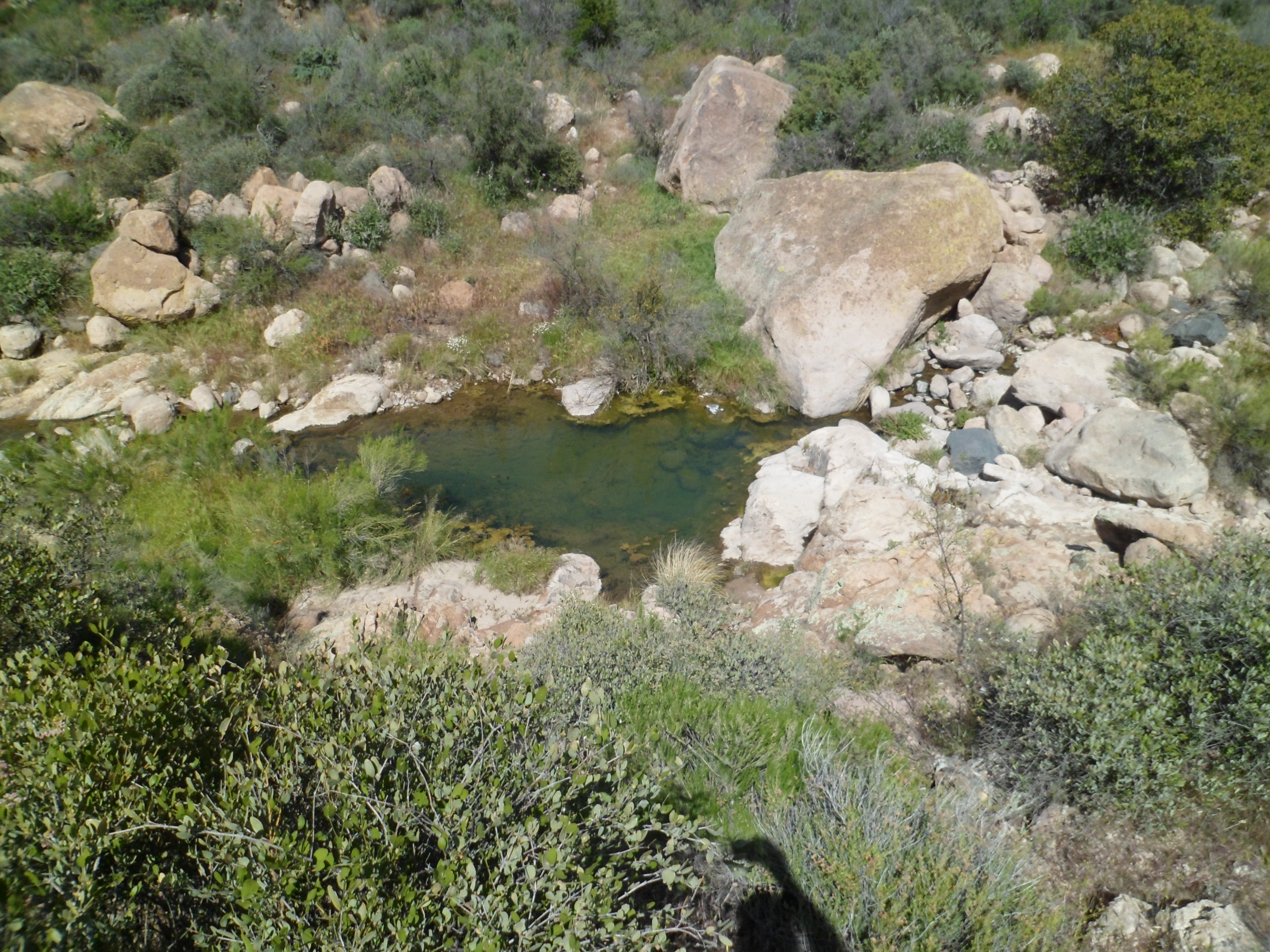
All of this is brought to you by the tributaries of the Salt and Gila Rivers, which grace the fringes of the Superstition Mountains.
Most of the dazzling array of rock spires found in the Superstition Mountains are of a volcanic rock, called rhyolite. Sandstone also figures into the mix, usually at the outer base of formations like Weaver’s Needle. The Superstitions are an eroding mountain chain, far older than Arizona’s other large volcanic ranges- the San Francisco Peaks and the Santa Catalinas.
I found no dearth of amazing rock formations, giving my imagination full vent, during the nine hours spent in approach and circumnavigation of Weaver’s Needle, last Saturday.
Here are about twelve of the rock formation shots I took. You be the interpreter as to what they represent.
The formations actually extend quite a bit further, to the west, north and east of the Fremont Saddle/Weaver’s Needle areas on which I focused last weekend. Someday, who knows, I may just stumble upon the Lost Dutchman’s Mine.
This past Saturday, I set out for what i thought would be a mild, five-mile journey along the south rim of Barks Canyon, in the Superstition Wilderness, east of Metro Phoenix.
A gaze at the map board, near Peralta Trailhead, however, showed this would mean a three-mile bushwhack, through prime rattlesnake turf. Since that is being penny-wise, and oh so pound-foolish, I opted to go on down Peralta Canyon, letting the chips fall where they may. Did they ever. This day became as full, demanding and glorious as the Longest Day trek last June, along Bright Angel Trail in the Grand Canyon.
This central part of the Superstition Mountains has an iconic centerpiece: Weaver’s Needle, a rhyolite and sandstone wonder that seems to sit by itself, between Peralta, Barks, Needle and East Boulder Canyons. It kept me in its sights, most of the day.
The Superstitions draw people from all over, much as do Grand Canyon and Sedona. There are two major facets, which I will show in the next two posts: The largely rhyolite (volcanic) formations which dominate the landscape and the wildflowers, which explode this time of year. (Peak flower time is later this month, but we enjoy what we can, when we can.)
I started out in the overflow parking lot, 1/4 mile from Peralta Trailhead. The canyon actually gets its start here, with rising buttes to the west.
The trailhead itself, as I mentioned earlier, is fully informative. The information it gave me about the way ahead offered two choices- See Weaver’s Needle from a variety of vantage points and make a full day the marvelous existing trails, or stop at Fremont Saddle and head back. I opted for the former, and ended up with 17 miles under my feet, at day’s end.
Here are some of the features of the trailhead:
The sign on the right seems to be well-read. I saw none of the above along any of the trails.
Peralta Canyon Trail takes the hiker up to Fremont Saddle, then down along East Boulder Canyon (which is actually west of Weaver’s Needle). It ends at Black Top Mesa, where the eastbound Dutchmans Trail takes over. One may follow Dutchmans, named for a gold prospector named Jacob Waltz, for about 14 miles, around the eastern periphery of Superstition Wilderness. I opted to take the trail for 3 miles, then, with a group from Phoenix, went up Terrapin Trail and Bluff Springs Trail, back to the parking area. Seventeen miles in one day is enough, don’t ya think?
Here are some tidbits of parts two and three of this series.
Rhyolite formation, along Peralta Canyon Trail
Brittlebush
Castle-like formation, near Fremont Saddle
Pac Man?
Future chorus members?
Rhyolite castle
The Thinker, Bluff Springs Trail
The consensus among the four of us, at the end of the day, was: ‘It’s best to not have to sleep under the stars tonight’. Back in the settled environs of Apache Junction, I stopped to gas up and to rehydrate myself with electrolytes. As I sat in the car afterwards, sipping my beverage, a jeep pulled up alongside. Out hopped a lovely young woman, bikini-clad and in flip flops, and moving with a purpose. She came back a few minutes later, with a similar beverage, smiled wanly and drove off. My thoughts are that life is always beautiful to those who show respect. The rhyolite edifices, the wildflowers, the emerging frogs, my fellow hikers, random beautiful people, and even the heard but unseen snakes- all deserve nothing but love and respect. In this way, we shall have peace.