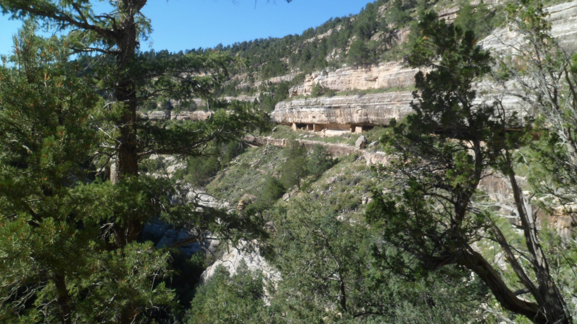
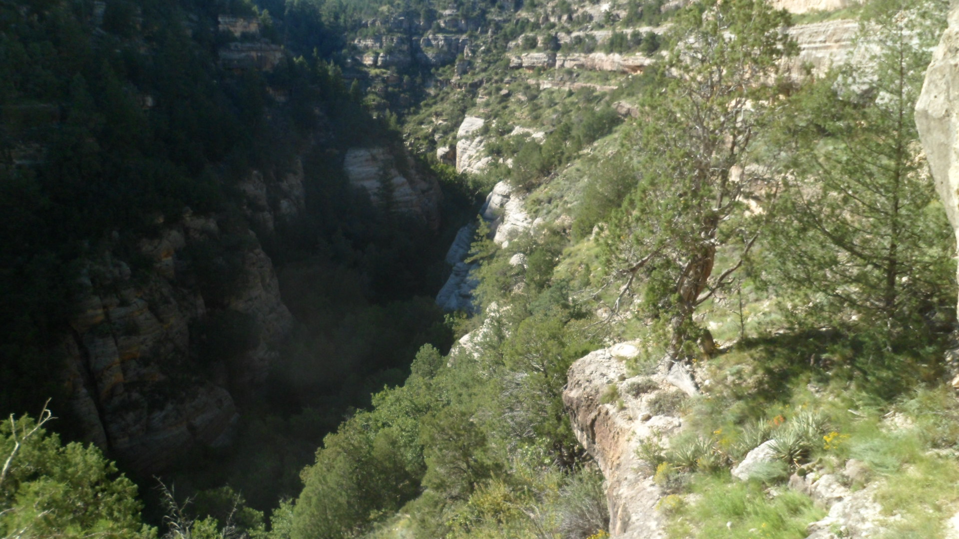
March 22, 2015, Montezuma Well- Today would have been my father’s 88th birthday. He’s been gone from us for 29 years now, but the wisdom of the man resonates still. A lot of that wisdom, I am convinced, was passed down through the faded, but still perceptible, knowledge of our Penobscot ancestors. I am ever drawn to Native American perspectives on matters, perhaps because of this. Having lived among the Navajo and Hopi people for several years, I have internalized many of these perceptions. I visited some long-time Baha’i friends this afternoon, in this quiet community, north of Camp Verde and along the tributary of the Verde River that is known as Wet Beaver Creek. My friends, a Navajo man and his wife who is of European descent, and their elder daughter, greeted me at their home just west of Montezuma Well National Monument.

After a light lunch, three of us went over to V Bar V Ranch Historical Site, which is maintained by the U. S. Forest Service. Today was the second Archaeology Discovery Day, at this site. There were several booths, as well as the permanent ruins of the ranch, from the 1880’s and several petroglyphs, which appear to be of the Beaver Creek Style, dating from the 12th and 13th Centuries, A.D., and associated with the people known commonly as Sinagua or, to their Hopi descendants, Hisatsinom. In this style, animals and people are often depicted together- either as prey/predator or as observed and observer.
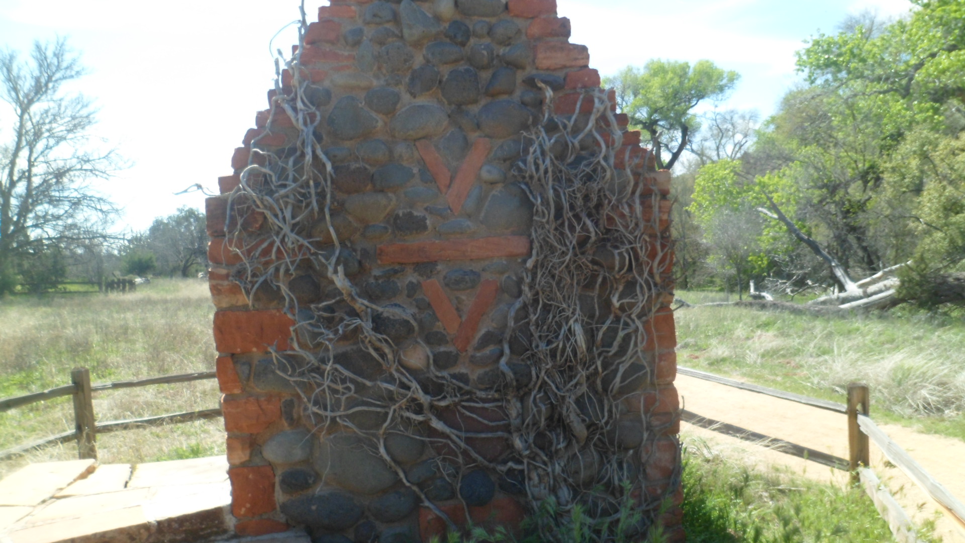
On the way in, we encountered the ruin of a chimney and fireplace, virtually all that is left of the ranch that that once dominated this area. There is a former ranch house, now used as rangers’ offices, at the north end of the site and next to it, a Visitor Center.

We were first pleasantly greeted by a lilac bush.

The importance of agriculture, then and now, was highlighted by a table which featured traditional plants and seeds of the area, including white and blue corn, and various beans and squash. Brown native cotton was also on display. We were each given several packs of heirloom seeds.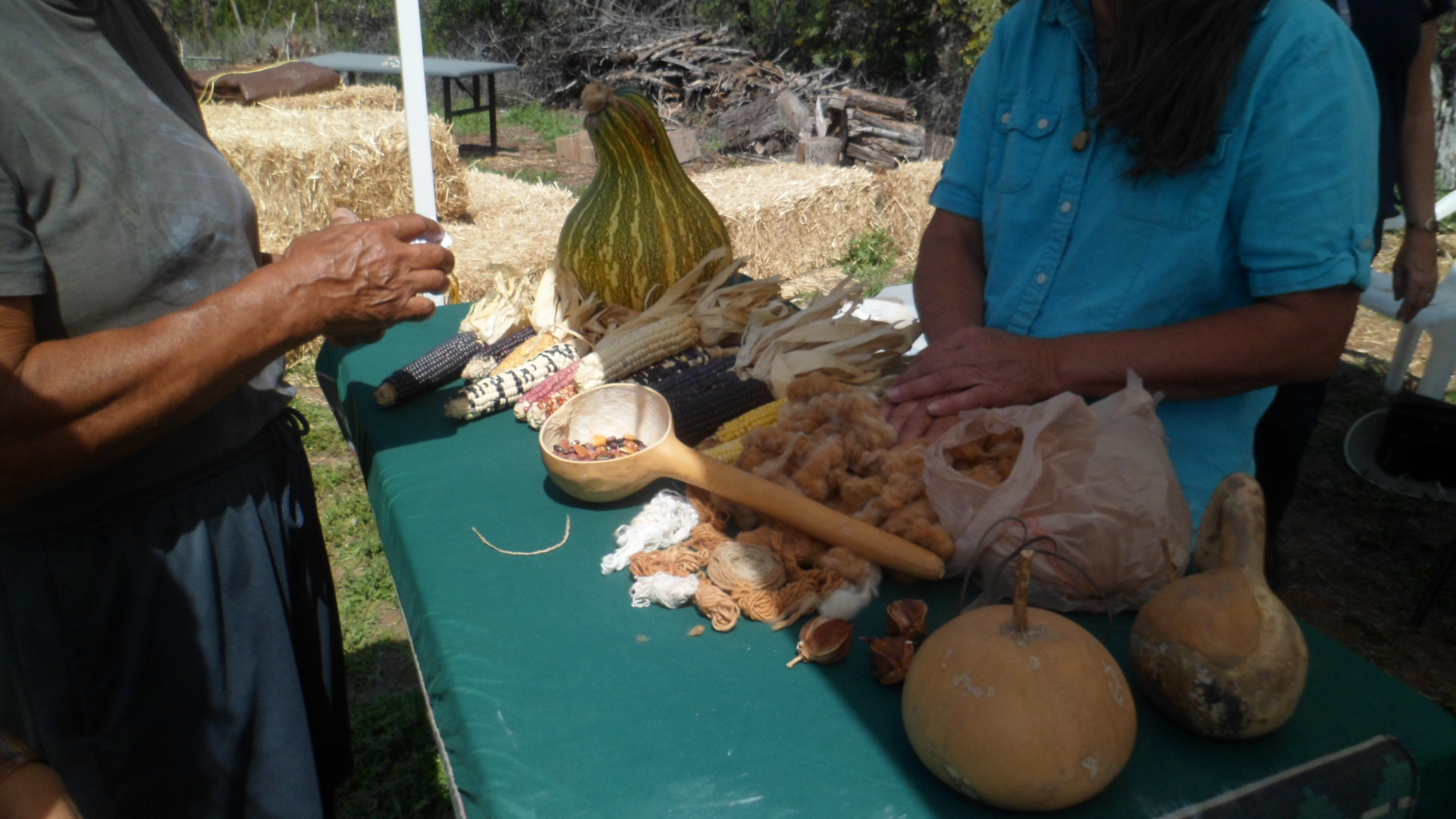
Each sherd of pottery found in the area is kept in a dignified manner. Each piece is treated as representing the energy of the person who fashioned it, many centuries ago. It was explained to us that many modern Native American officials a re now more interested in oil and mineral royalties, and the pursuit of corporate wealth, than in maintaining traditional languages and cultures. The preservation of archaeological sites, then, is, ironically, entrusted to the Federal government.

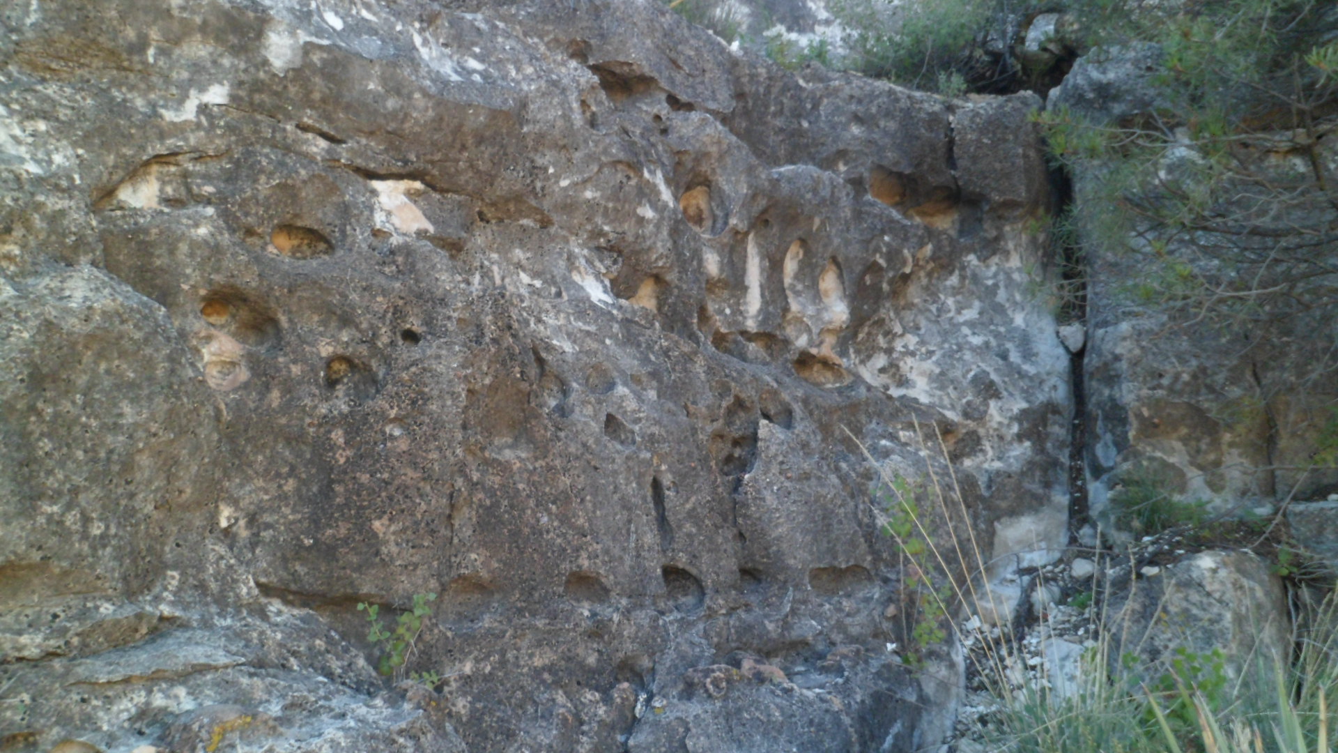
The petroglyphs themselves, and the way the sun hit an area near a crack in the rock face, drew the largest crowds..


Globemallow were in full bloom.
There was a spear throwing contest, using an atlatl. None of us were immediately adept at it. I would need several hours of practice, in order to properly use the instrument.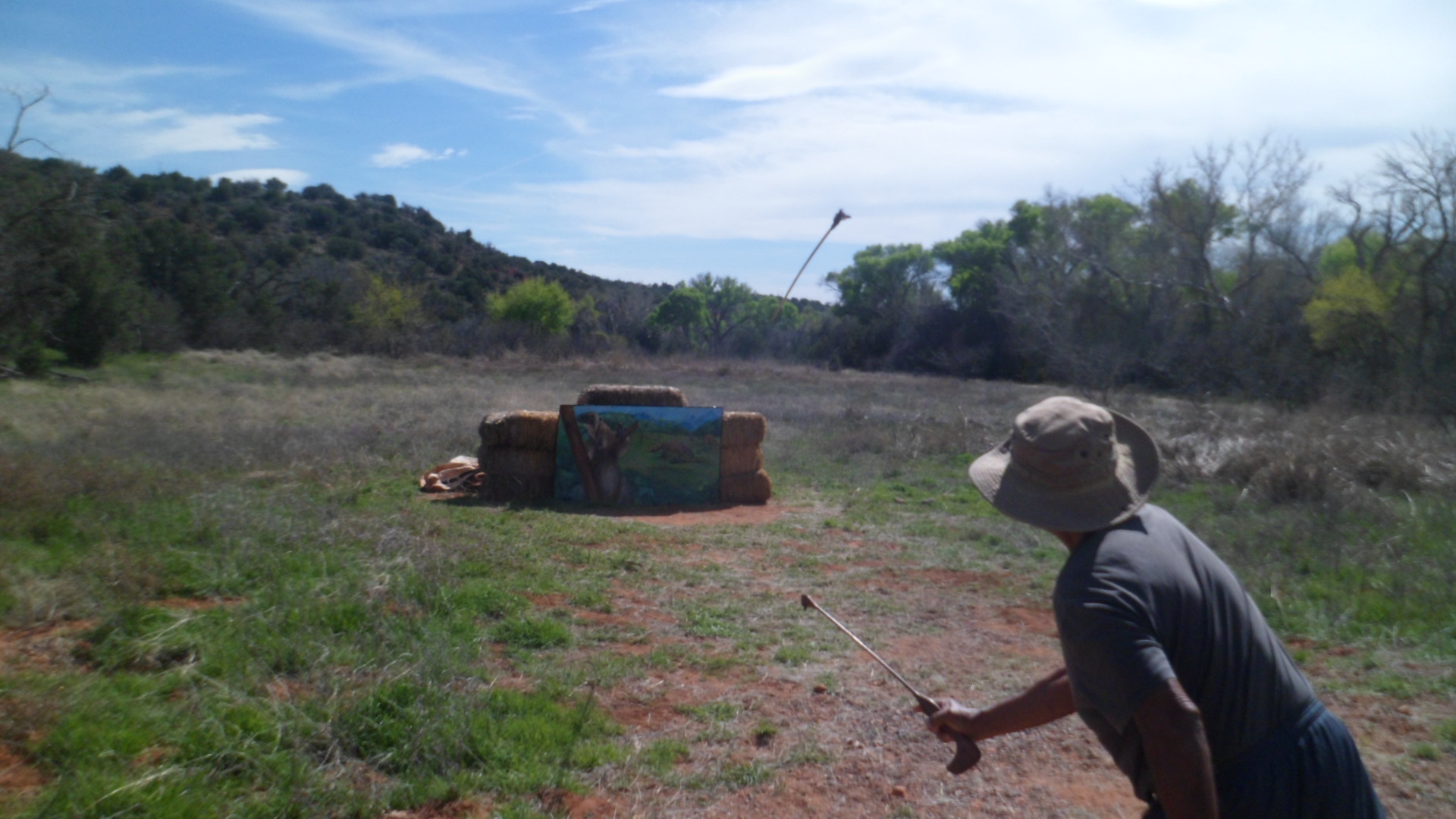
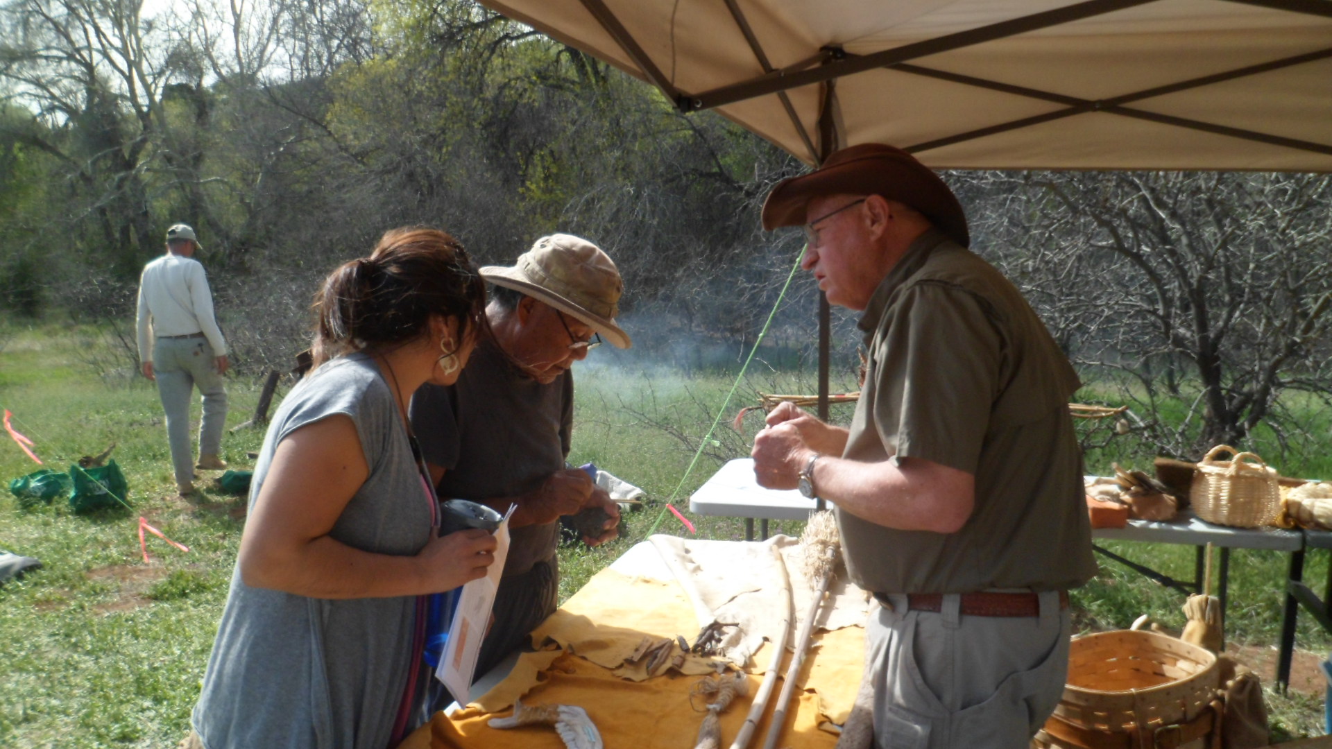
Many other wilderness survival tools were on display, including several fishing implements and hunting snares and traps
.
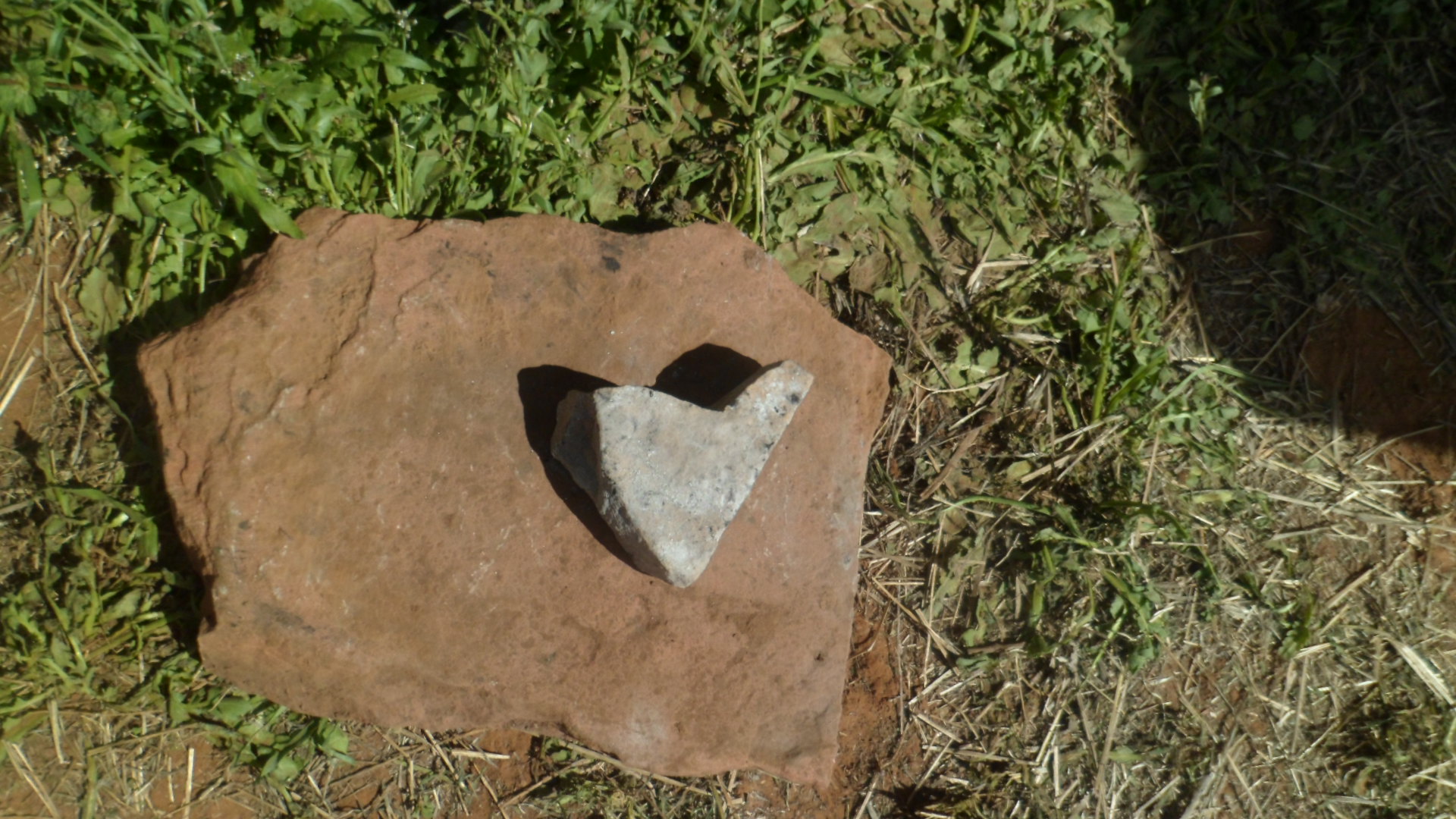
As ever, my outing got an affirmation from the spirit realm. There were several heart-shaped rocks along the trail.
I was well-impressed by the site and the various displays, which offered a wealth of explanations to young and old alike. This was a fine way to offer an homage to my father.