April 9, 2016, Prescott- Last Sunday, I threw in a 1-mile round trip side trail, to my Prescott Circle jaunt. Quartz Mountain is a unique promontory, in the mostly pine-clad, dry-soil terrain that is prominent in the western half of Prescott Circle. It appears to be the remnant of a volcano, which also makes sense, given that quartz is scattered from White Spar to an area just west of Thumb Butte.
I had the brief company of two men and three children, who had been atop the mountain for an hour or so, studying the quartz and learning of the different colour blends. Most, as you will see, are white quartz, though there is a fair amount of pink, and some two-tone.
East side of Quartz Mountain
I checked out this area, just below the summit, before heading up.
View from east slope of Quartz Mountain
Granite outcropping, north slope of Quartz Mountain
The views from any point near the summit are thrilling.
San Francisco Peaks, from Quartz Mountain
Now, here are several scenes of the summit.
Iron-tinged white and gray quartz, Quartz Mountain summit
Southwestward, from Quartz Mountain, towards Sierra Prieta
View of Quartz Mountain summit crest, from just underneath
Agave and prickly pear cacti, Quartz Mountain summit
As you can see, the desert aspects of Prescott’s status as a transition zone are quite prolific, even at 6,000 feet.
This little gem is one of several good reasons for side hikes, off the main Circle Trail system.
As it happened, today (April 9), was a good day for Segment 3 of the Circle. It’ll be featured in the next post.
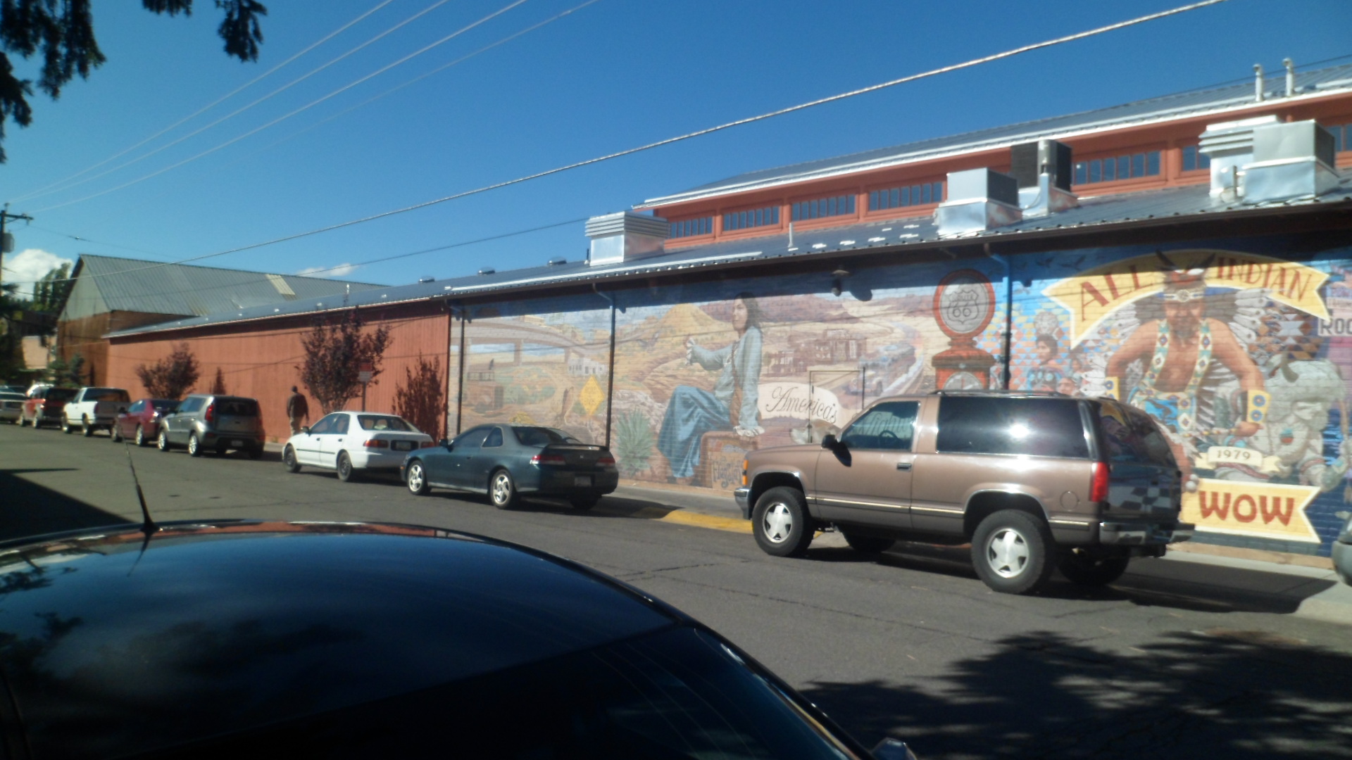
September 28, 2014- Flagstaff has always been friendly to me. So, on a Sunday afternoon, I drove up for a brief visit with some Hopis who were in town for a Native American Arts and Crafts Fair, which the Hopi Tribe was sponsoring. Flag has worked at being more welcoming to Native Americans, over the past twenty years or so, and the mural seen across the street is one small example of the change in attitude.
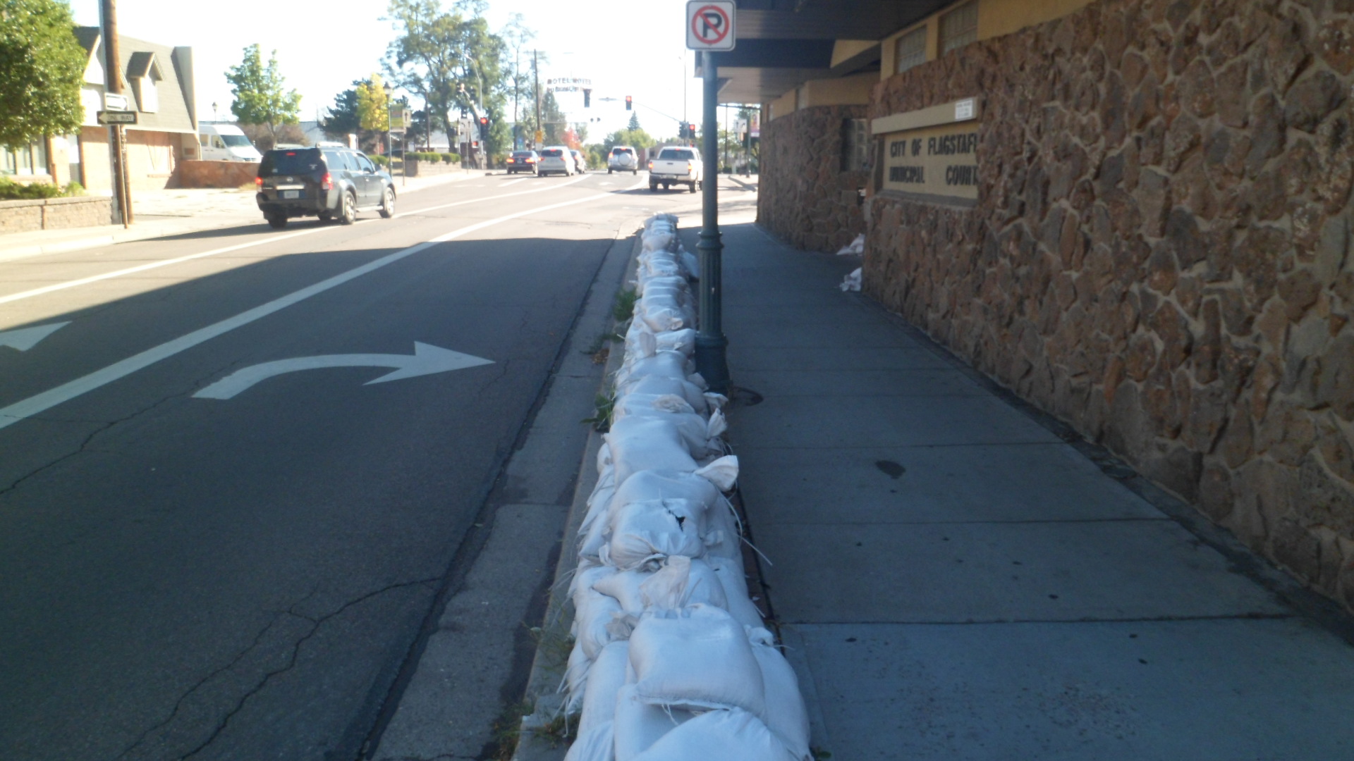
There had been a terrific downpour, from Casa Grande to Tuba City, the day before, and Flagstaff had seen its share of the threat of flood waters. It looked, on that Sunday however, that all was well, in the end. The sandbags were still in place, in front of the municipal courthouse.
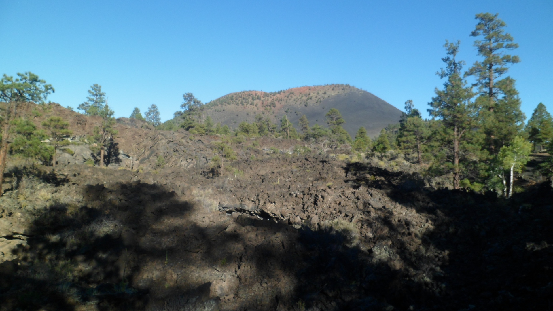
After a latte at Macy’s, one of my favourites in Flagstaff, I headed out to Sunset Crater. It’s near Wupatki, which I had visited a few weeks earlier. Sunset is the remnant of a much larger volcano, which erupted full-blast in the 1060’s. The Lava Beds extend for ten miles or so. Here is a Lava Flow trail, with a view of the San Francisco Peaks in the background.
From the same trail, Strawberry Crater, five miles to the northeast, is visible.
The scenery in volcanic parks tends to like like something straight out of JRR Tolkien’s Mordor.It is an object lesson in the lingering power of volcanic activity. In the long run, though, the soil is renewed. That’s important to remember, when encountering scenes like this. In fact, I learned that the Sinagua people chose Wupatki as a place to build angular pueblos, as a symbol of persistence, in the wake of the Sunset Crater eruptions. The Hopi believe their Kana-a kachinas (spirits) are associated with the crater and its eruptions. Navajos and Zuni also revere this peak, as well as all the mountains nearby. Settlers cherished the volcano as well, and actively thwarted a film company’s attempt to blow up the crater in 1929, during the making of “Avalanche”. As a result, President Herbert Hoover set aside 3,000 acres for the present Sunset Crater National Monument.
The trails in Sunset Crater National Monument tend to be benign and flat. The exception is the cardiopulmonary fitness experience known as Lenox Crater Trail- 300 feet straight up. The Ponderosa pine regrowth is about 30 years old.
From the top of Lenox, Sunset Crater is visible, to the east.
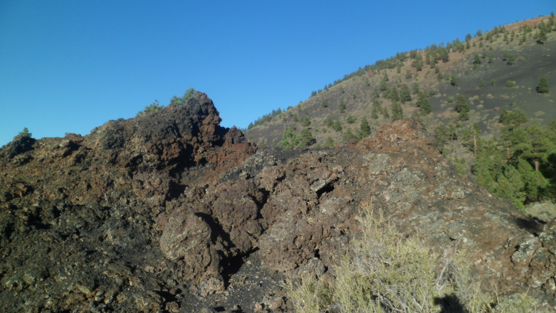
Much more in the way of igneous rock is visible, along the Long Trail, which is less than a mile in length, actually.
This little crater comes with a “No playing inside” warning. It is actually quite fragile.
Some iron deposit is visible, in this broken-off piece of lava.
Here is a long pit, on the west side of Long Trail.
Lightning had hit the cracked rock below.
From Cinder Hills overlook, at the eastern end of the Monument, copper and iron-inflected soil is visible, atop the cones for which the overlook is named.
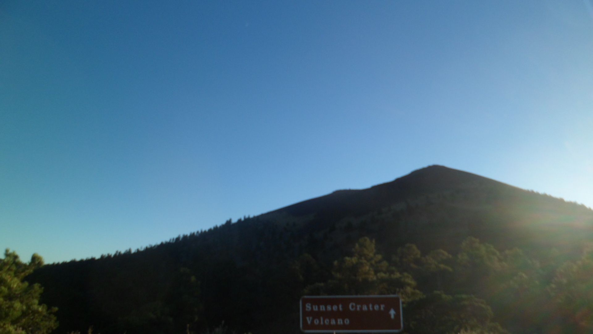
With its eponym on the way, I got one last shot of Sunset Crater. The peak cannot be hiked, due to its sensitive condition. This is true of a great many volcanoes, both active and dormant. The danger to peak and climber alike is just too real. DO HEED THE RANGERS’ INSTRUCTIONS!