On Wilson’s Creek

4

June 20, 2019, Memphis-

I made it to the hostel here, three hours behind schedule- but the door remained accessible by code, so no worries there.

This morning, I met my cousin, Lisa, for breakfast and an hour’s catch-up on the year gone by.  Our old stand-by had closed, so she found a little place closer to her home, which worked even better.  We were about the only people here, save the waitress and the cook.

SAMSUNG CAMERA PICTURES

I left Lisa, and the little village, intending to head for a friend’s place in Rolla, then down through the Ozarks and Delta, to the quiet bustle of Memphis.

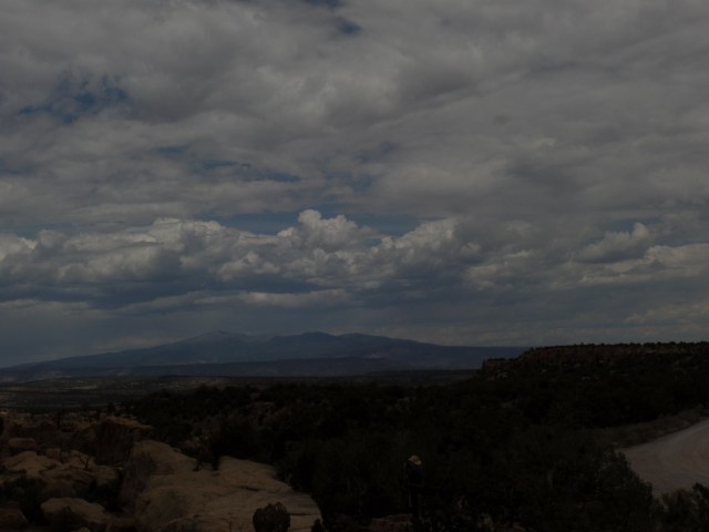
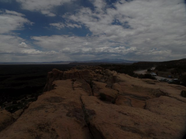
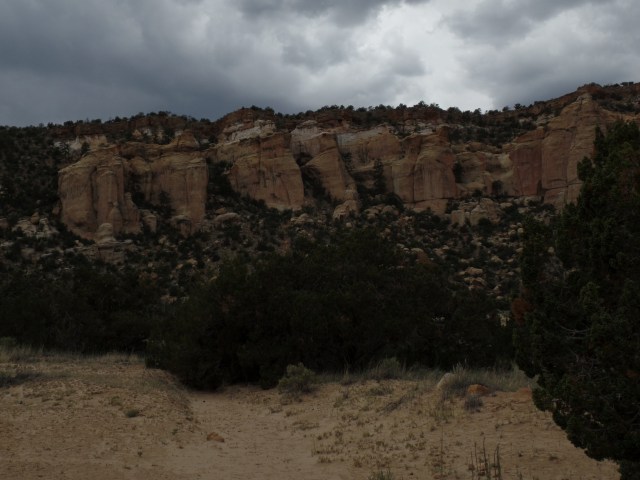
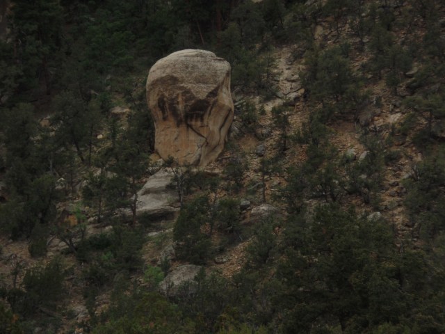
Wilson’s Creek National Battlefield intervened.  This place is worth about two hours, for those whose education on the Civil War stopped with the Mississippi River at Vicksburg, if it even got that far.   Wilson’s Creek, MO was the second major battle of the conflict, after the First Battle of Manassas, or Bull Run.  It is instructive that the battle was technically won by the Confederate Army, yet at a cost which enervated the Rebels and drained critical resources.

Here are some scenes from this relatively under-visited national monument-about a dozen miles southwest of Springfield, MO.

SAMSUNG CAMERA PICTURES

A young boy and his grandparents were in tandem with me, for the first two stops.  The child was quite well-versed in some of the basics of the conflict, which always does my heart good.  Those who don’t study history are those most likely to repeat it.

Like many battles in all three wars that have taken place on American soil, this one centered on farming areas, and took place largely in two cornfields.  The fencing below was intended to keep animals in.  The Confederates used it and the berm behind it, as cover.

SAMSUNG CAMERA PICTURES

SAMSUNG CAMERA PICTURES

This area was farmed, and its corn milled, by John Gibson.  The two sides wisely steered clear of attacking the mill, knowing that they would likely need its resource, once THEY won.

SAMSUNG CAMERA PICTURES

A lone sunflower, anywhere, is an anomaly; yet, here it is on the old Gibson farm.

SAMSUNG CAMERA PICTURES

The family moved on to the Ray House, with me right behind them.
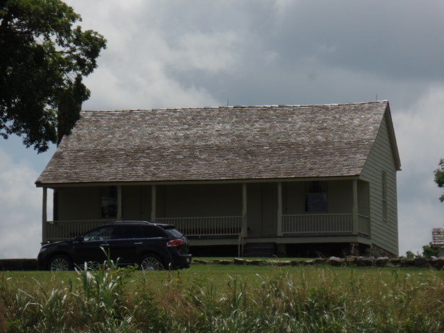
SAMSUNG CAMERA PICTURES

This farmstead was used by the Confederates as a field hospital, with Mr. Ray and the Southern officers bringing in the body of Union General Nathaniel Lyon, the first General killed in the line of duty, during the Civil War.  His corpse lay in this bed, until it was peacefully transferred to Union hands.

SAMSUNG CAMERA PICTURES

The Rays continued a modicum of life, during the military occupation of their farmstead. Mrs. Ray’s spinning wheel was in constant use.
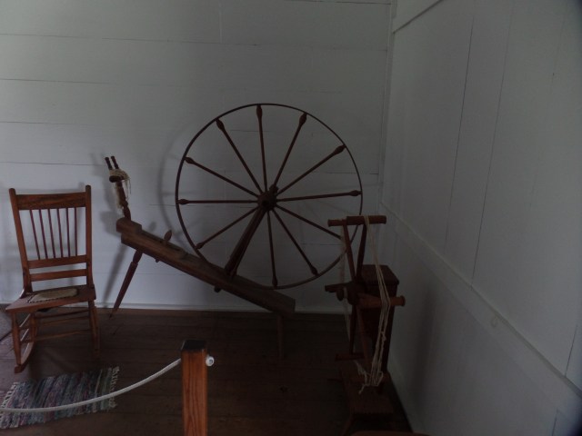
SAMSUNG CAMERA PICTURES

Imagine this passageway, crowded with wounded and the active soldiers. That was the case, on August 10, 1861 and for weeks afterward.

SAMSUNG CAMERA PICTURES

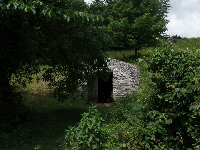
Down Oak Hill from the house lies a spring house, the refrigerator of the mid-19th Century.
SAMSUNG CAMERA PICTURES

From here, I had the rest of the Battlefield pretty much to myself.  Below is a view of Wilson’s Creek, as it may have appeared to CSA General Sterling Price and his regiment, at his headquarters here.  Today, a woman was cooling her horse in its serene waters.

SAMSUNG CAMERA PICTURES

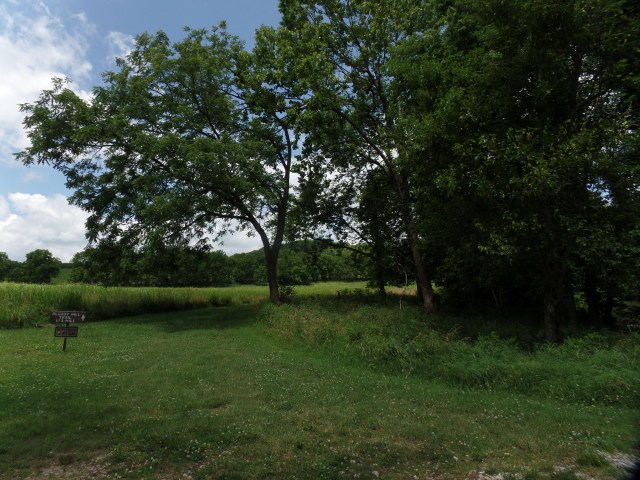
Here is a view of the slope of Oak Hill, also called ” Bloody Hill”, for the carnage that ensued here, when the Union troops emerged from the forest, with blood curdling yells, attacking Price’s Texans.
SAMSUNG CAMERA PICTURES

SAMSUNG CAMERA PICTURES

My final stop at Wilson’s Creek was here, where it is seemly to pay respects to all those who were initially interred in mass graves, both in this spot and elsewhere in the area.

SAMSUNG CAMERA PICTURES

We have not had such a devastating conflict since, as bad as the wars that have ensued subsequently have seemed to those who lived through them. More people died in combat, in the first year of the Civil War, than in the entirety of the Vietnam Conflict.

NEXT:  The Roots of Rock n’ Roll


Day of Rage and Remembrance

6

June 19, 2019, Joplin MO-

The title refers to August 10, 1861, and I will elaborate, momentarily.  My Juneteenth began in Amarillo, with three surly drivers edging towards road rage, within a span of an hour.  The first one zipped around the corner and found me in his way, so the horn blew and the fist was pumpin’.  I got off the road and waited a bit.  Then there was the woman who was off-kilter because I went straight when there was no “left turn only” indicator.  Still no harm, no foul.  Finally, after my Planet Fitness workout, across town, I was screamed at, for driving across a parking lot and not stopping at each point where the road intersects with said lot.  This is, apparently, an Amarillo thing. (In Arizona, every parking lot intersection has a STOP sign. We must be spoiled.)

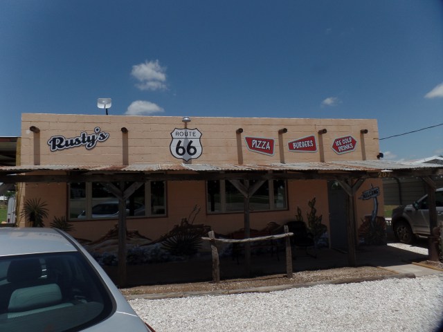
With all that, I left the city behind, and waltzed on over to Shamrock (See Ernest Tubb’s “Waltz Across Texas”).  There is a place there, called Big Vern’s Steak House.  Aram and I had lunch there, in 2011.  Vern no longer opens for lunch, so after looking around and asking the kind cross street neighbour as to whether Vern was okay (He is; he just opens for dinner only, is all.), I checked out a place called Rusty’s.  The perky owner told me she wouldn’t be open for another week or so, but if I went north a piece, I’d find a nice little place called Mesquite Canyon Steak House.  I did, and it filled the lunch bill nicely.

SAMSUNG CAMERA PICTURES

Next to Rusty’s is  Spinning Jenny’s House of Music.  If I’d been in a better mood, I’d have popped on in there.  Rusty and Jenny are both pretty and vivacious ladies, with good product, so it’s likely I’ll stop in Shamrock, next time I’m in the area.

SAMSUNG CAMERA PICTURES

I recall June 19 as Juneteenth, the day that Texas slaves received word of the Emancipation Proclamation:  June 19, 1865, when the Union forces landed in Galveston and spread the news.  This was 2 1/2 years after President Lincoln issued the Proclamation.  Today, many people are still not free of their own limiting mental chains.

“Waltz Across Texas” became “Zumba Across Oklahoma”, shortly thereafter.  I have a breakfast meet-up with one of my cousins, who lives near Joplin, early tomorrow morning.  So, there were no Sooners on my schedule, this leg of the trip.  I took the I-40 to 44 and onward straight-away, finding that the long-standing detour through the east side of Tulsa has been eliminated.  It’s all freeway, from Erick to Miami, so I found an hour had been shaved off the drive.  There was a minor rush hour jam, near downtown OKC, but that was all.

Once in Joplin, I found Motel 6 was reasonable, and that this franchise owner has a high-tech system, reminiscent of the European hotels I used, in 2014.  Keyless entry and paperless registration are here in the Heartland.

NEXT:  The Battle of Wilson’s Creek

Lighthouse, Shimmering In The Heat

0

June 18, 2019, Amarillo-

I made it a point to stop here today, for two reasons.  One was my old Xanga buddy, Wes, and his ties to the Amarillo that was.  The other was Lighthouse Trail, in Palo Duro State Park.  I always meet the most delightful people, through both Wes and Palo Duro.  Today was no exception.

Texas Tidbits (Wes’ old Xanga moniker) suggested a meet-up at Smokey Joe’s, which I recall as a most delightful spot.  The cutest, and toughest, little lady was our server last time.  Her co-worker, J, was our gracious and ever-attentive hostess, on this fine afternoon.  We sat around for about an hour, while I savoured a Tex-Mex burger, and solved at least some of the issues that plague mankind.

SAMSUNG CAMERA PICTURES

Now, I could sit in the presence of Wes and the ladies, for hours on end, but my hiking legs would not forgive me for such self-indulgence.  So, I bid pardner adieu and set off for Palo Duro.

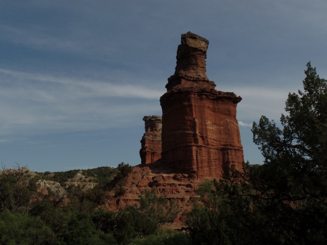
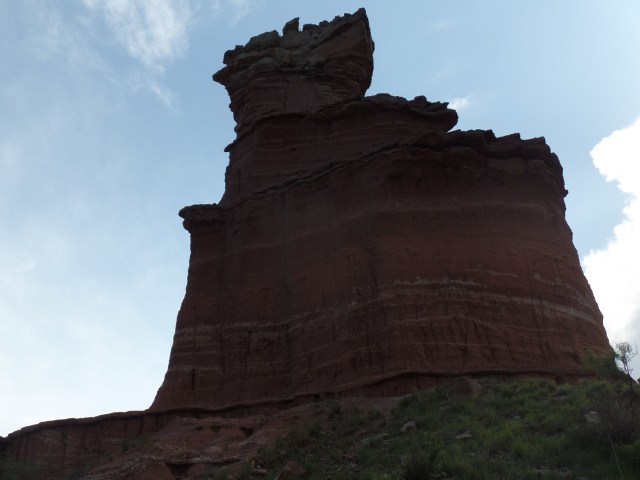
Upon arrival, the lovely and friendly ranger pointed out that many folks had been their before me, snapping up all the campsites. No worries here, though.  The main point of my visit was that Light House in the desert, shimmering as it was, in the heat.  I brought enough water to fuel a truckload of cattle, and set off on the six-mile round trip.

SAMSUNG CAMERA PICTURES

Capitol Peak and an unnamed “human” figure loom in the near distance, before the trail to Light House Rock veers to the right.

SAMSUNG CAMERA PICTURES

SAMSUNG CAMERA PICTURES

Other magnificent formations grace the way to Light House.

SAMSUNG CAMERA PICTURES

SAMSUNG CAMERA PICTURES

SAMSUNG CAMERA PICTURES

SAMSUNG CAMERA PICTURES

SAMSUNG CAMERA PICTURES

The first close-up view of the Light House formation, came as I reached the crest of the only real ascent of the hike.

SAMSUNG CAMERA PICTURES

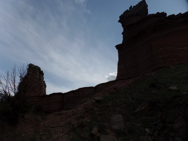
Here they are, one at a time.

SAMSUNG CAMERA PICTURES

SAMSUNG CAMERA PICTURES

This shows the actual distance between the two rocks.

SAMSUNG CAMERA PICTURES

As the first rumblings of a storm were heard, I took this last close-up.

SAMSUNG CAMERA PICTURES

Whilst I was doing this, another man was contenting himself with climbing a path to the top of the rock on the left.  He spent several minutes there, fortunately getting down, as the skies darkened and racing up the path, to avoid the rain.

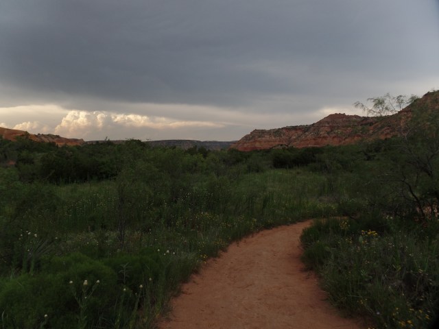
As I was walking back, I met a young couple with a dog, and pointed out to them that the storm was getting much closer.  They deiced to head back and stayed with me to the parking area.  E and M are a delightful pair, reminding me of my son and daughter-in-law.  We noted the lushness of the surrounding area, as a sign of the copious rain that the Panhandle has enjoyed this Spring.

SAMSUNG CAMERA PICTURES

We got back to our cars, just as the rain was intensifying.  No sooner was everyone safely inside the vehicles, than hail started falling-furiously.   Yet, once we got to the park entrance:  Voila!  The sunshine returned.  With no camping site, I drove back to Amarillo, and have a room at Camelot Inn and Suites.

SAMSUNG CAMERA PICTURES

Yes, another good day was had in the desert!

NEXT:  When Armies Wear Each Other Out


Duke City Redux

0

June 17, 2019, Albuquerque-

This morning saw the last vestige of abdominal upset leave me.  Today would be a day for treading lightly and eating slowly.  It did not take long for the Elantra and me to get to Mother Road Hostel, though, and I was pleased to be able to get settled earlier than is the case in most hostels.  An early nap took care of what was left to be cured.

SAMSUNG CAMERA PICTURES

I had hoped to get in a return visit to Blackbird Coffee House, in Old Town, but the parking situation is such that exact change is required for a space, and I’m still not one to offer $10, for a $5 fare.  I did get laundry done, across from Mother Road, ignoring a “plea” from a street person who said he needed coins to do his laundry, yet there was no sign of said laundry, as he stood in front of The Wash Tub.

Mother Road is a thoroughly relaxing place, convenient to both downtown and Old Town, though it was rather toasty today.  By evening, though, with laundry clean and put away, I ventured to the west side of Downtown, and enjoyed a lovely dinner of Minestrone Soup, Vortellini and sauteed vegetables, at Villa di Capo.  Being the days of the Senior Olympics, I was joined by many people my age and older.  This competition augurs well for those seeking a higher quality of life, as people age.  I personally did not take part in the events, but the examples of my contemporaries spurred me to plan a hike tomorrow, at Palo Duro Canyon, south of Amarillo.

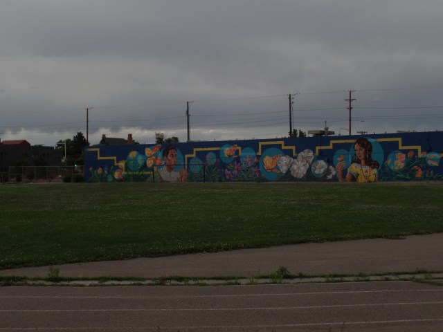
Declining spumoni or tiramisu, I bid my gracious hosts farewell, and took a stroll around the Raynolds neighbourhood, taking in both architecture (lots of Art Deco, in downtown Albuquerque) and street murals.SAMSUNG CAMERA PICTURES

SAMSUNG CAMERA PICTURES

SAMSUNG CAMERA PICTURES

There is a pizzeria, two blocks west of Villa di Capo, which invites patrons with this sidewalk piece.

SAMSUNG CAMERA PICTURES

Java Joe’s, closed for the evening, looks inviting, nonetheless.

SAMSUNG CAMERA PICTURES

Raynolds’ residents seem to be quite active, in addressing the needs of their surrounding area.

SAMSUNG CAMERA PICTURES

SAMSUNG CAMERA PICTURES

These three poles adorn a middle school playground.

SAMSUNG CAMERA PICTURES

Finally, the full range of the neighbourhood’s vibe is shown here.

SAMSUNG CAMERA PICTURES

Albuquerque was restorative to my health, and a confirmation that hostel life is most suitable to my mode of exploration.

NEXT:  A Spot of “Fun Zone” and A Lighthouse in the Desert


A Day for Setting Example

4

June 16, 2019, Grants, NM-

I told myself that this summer, I would not zip through the astonishing red rocks and juniper of northern AZ and New Mexico, so today, I set a limit of the 62.4 miles that lie between Gallup and this old mining town, which is struggling to redefine itself.

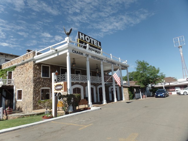
I began Father’s Day, last night actually, with a roughly forty-minute conversation with my son and daughter-in-law, reassuring me that all is well with them, and vice versa.  This morning, a light breakfast of yogurt, from the grocery store across from Lariat Lodge, seemed quite sufficient.  Afterward, the first order of business was a visit to the lobby and garden of El Rancho Hotel, Gallup’s premier historical property and a favourite of many of Old Hollywood’s great figures- from James Stewart to Claude Akins.  Several photos line the wall of the second floor of the lobby.  Here is an introduction to El Rancho:

SAMSUNG CAMERA PICTURES

SAMSUNG CAMERA PICTURES

SAMSUNG CAMERA PICTURESGallup has made itself a haven for Dineh, Zuni, Acoma and Apache artists looking to sell their crafts.  Armando Ortega and his family were among the first to offer marketing services to First Nations artists in the area.  The Ortegas have sponsored this alcove display, in the center of the first floor lobby.
SAMSUNG CAMERA PICTURES

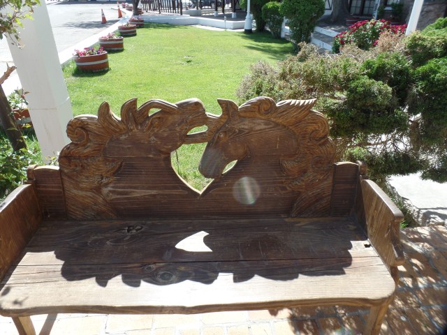
Even the outdoor benches are adorned with intricate design.

SAMSUNG CAMERA PICTURES

From here, it was time to head towards the rocks, specifically El Malpais National Monument, just south of Grants. In 1985, Penny and I took two sons of a then-recently departed friend to this area, camping overnight at the privately-owned Bandera Volcano (extinct), as a respite for his widow.  In the years since, the road has been a shortcut, when I have driven between Phoenix and Albuquerque.

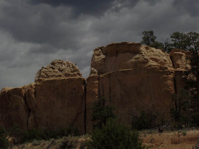
Today, it was my Father’s Day present to myself, to explore the eastern portion of the Monument, some forty miles past the volcano.  The sandstone formations near Zuni-Acoma Trail are as majestic as any in the southwest. Whilst taking in these marvels, I fixed and ate a sandwich. This would prove to be of dire consequence.

SAMSUNG CAMERA PICTURES

SAMSUNG CAMERA PICTURES

SAMSUNG CAMERA PICTURES

SAMSUNG CAMERA PICTURES

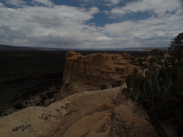
After visiting the Ranger Station, I doubled back to Sandstone Bluffs Overlook.

SAMSUNG CAMERA PICTURES

Although the storm clouds looked threatening, the rain held off until I was back in Grants.

SAMSUNG CAMERA PICTURES

The series of holes, that are visible in the center of this frame, were actually bored by molten lava, during the last eruption of McCartys Crater, some 3000 years ago.  They are known, collectively, as Chain of Craters.

SAMSUNG CAMERA PICTURES

Of more ancient vintage is Mt. Taylor, seen to the north.  It is one of the Four Sacred Peaks which are revered by several First Nations in the area. Mt. Taylor has been inactive for millions of years.

SAMSUNG CAMERA PICTURES

Lichen have absorbed into the sandstone, over the centuries, giving some parts of Sandstone Bluffs the appearance of having been painted.

SAMSUNG CAMERA PICTURES

Whilst sandstone is not slippery, its delicate nature means it can be broken easily, especially close its seams.  All walking on rock surfaces requires close attention to what lies underfoot.

SAMSUNG CAMERA PICTURES

While heading towards La Ventana Natural Arch, I spotted this remnant of an early rancher’s attempt at settlement.

SAMSUNG CAMERA PICTURES

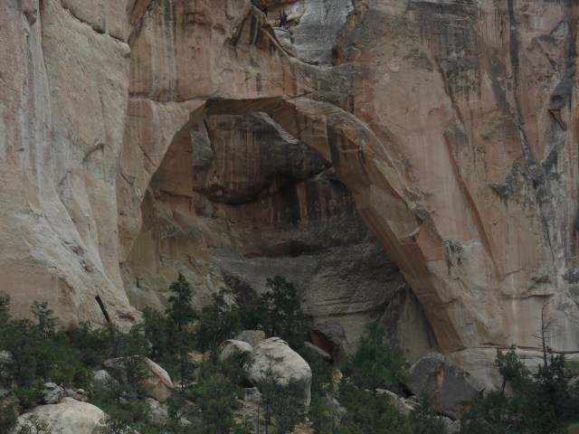
La Ventana is a continuation of Cebolita Mesa’s exquisite base, which we saw earlier, near Zuni-Acoma Trailhead.  This is older sandstone than that at the Bluffs.  There were several other people here, including a grandfather, his son and three grandchildren.  Grandpa was teasing the two younger kids about jumping off the rock on which they had climbed.  Of course, he and Dad each helped the kids get off, but it was amusing to watch the little ones’ initial reaction of “AWWW, GRANDPA!!”

SAMSUNG CAMERA PICTURES

SAMSUNG CAMERA PICTURES

This balancing rock evokes a visitor from another world.

SAMSUNG CAMERA PICTURES

Here are two views of La Ventana, itself.

SAMSUNG CAMERA PICTURES

SAMSUNG CAMERA PICTURES

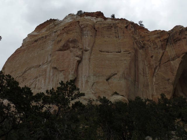
A close look at this wall of Cebollita Mesa seems to show two faces. I am curious as to what you, the reader, sees here.

SAMSUNG CAMERA PICTURES

The area west of Cebollita Mesa is covered with lava beds.  These range from just north of I-40 to the Lava Falls Area, thirty-six miles southward.  They extend, east to west, for about twenty-five miles.

SAMSUNG CAMERA PICTURES

Once back in Grants, I was starting to feel a drag on my system.  Nonetheless, being Father’s Day, I was determined to get one good meal.  There being no locally-owned cafe open,near the Sands Motel (another Route 66 establishment registered as a National Historic Site), I chose the reliability of Denny’s.  The salmon and vegetables were very nicely done, as was the cup of soup.  I hydrated plentifully, as well.

Back in the motel room, I will only say that I dealt with my ailment as I had always taught my son to do- in  mature and responsible manner. I felt much better afterwards and Father’s Day was only mildly interrupted.  I had maintained my example, though, even if no one was around to notice.  That is what the day really signifies.

NEXT:  A Return to the Duke City


The Treasure Road

4

June 15, 2019, Gallup-

The fine thing about a diverse landscape such as that of the Navajo Nation is that one can experience five forms of weather, as well as of scenery, in the span of thirty minutes.

I left Canyon de Chelly around noon, heading for the small college town of Tsaile.  This is the site of the main campus of Dine College, the Dineh’s highest resident institution of learning.  It offers eight Baccalaureate programs and is led by Dr. Charles Roessel, a member of one of the area’s most distinguished educational families.

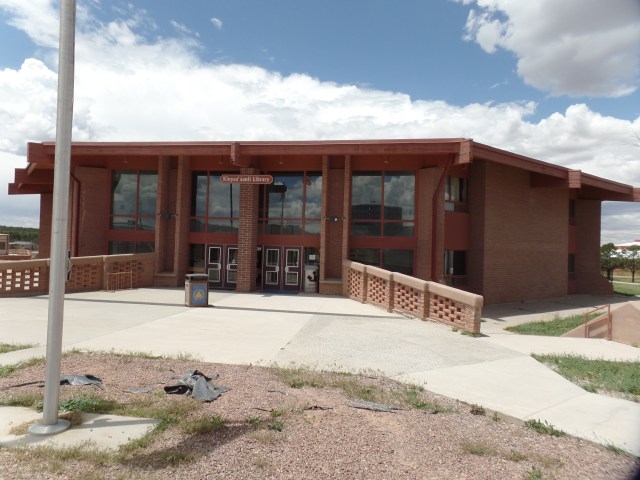
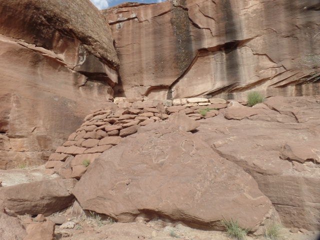
The place today, though, was the realm of crickets.  Being a Saturday, in summer session, everyone except a lone security guard seemed to be elsewhere. Here are a couple of scenes of that splendid silence. First, the Library.
SAMSUNG CAMERA PICTURES

The centerpiece sculpture is of life-sustaining maize.

SAMSUNG CAMERA PICTURES

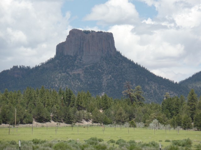
There are two mountain ranges in this part of the Dineh Nation. Here is a view of the Lukachukai Range.

SAMSUNG CAMERA PICTURES

As I left Tsaile, the road led to its sister village:  Wheatfields.  The two share a single Chapter, in terms of jurisdiction.  Wheatfields is home to one of the Navajo Nation’s most popular recreation sites:  Wheatfields Lake.  Along the way, there are the buttes and peaks of the southern flank of the Lukachukai Range and the norther flank of the Chuskas.  Below, is a view of Tsaile Butte.

SAMSUNG CAMERA PICTURES

Not far to the south is Red Butte.SAMSUNG CAMERA PICTURES

Here is  a  view of Wheatfields Lake.  It was crowded with fisherfolk and water’s edge vacationers.  Unseen here, a storm front was approaching from the west.

SAMSUNG CAMERA PICTURES

The road next led through a small sliver of New Mexico.  The two Chapters, Crystal and Red Mesa, were significant to Penny and me, as a vibrant and forward-looking family of Baha’is had branches in each community, in the 1980’s and ’90’s.  I fondly remember the Coes, their bread truck office and its early-model Word Processor; then, there were their elders, the Belshaws, with a wealth of natural foods knowledge and holistic health tips.

Here is Red Mesa, near the village of Navajo, NM (Red Mesa Chapter).

SAMSUNG CAMERA PICTURES

The Treasure Road (my term) comes to an end in Window Rock, the administrative seat of the Navajo Nation.  A serene park encompasses the town’s namesake.

Here are some views of this unique red sandstone promontory, with its signatory arch.

SAMSUNG CAMERA PICTURES

SAMSUNG CAMERA PICTURES

SAMSUNG CAMERA PICTURESSAMSUNG CAMERA PICTURES

SAMSUNG CAMERA PICTURES

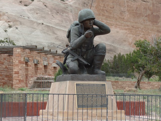
The park also feature a memorial to the Navajo Code Talkers, whose service during World War II was instrumental in the U. S. defeat of the Japanese Imperial Forces.  The Navajo contingent was the largest of several groups of Native American teams, who used their languages to convey information in a way that would not be decipherable by the enemy.  There are five living Navajo Code Talkers, as of this writing.

SAMSUNG CAMERA PICTURES

With this, I headed to Native American Baha’i Institute, briefly saying a round of prayers and careful not to disturb several work projects, then headed here, to this bustling community that lies in the midst of the Navajo Nation.  It was time to sleep, at the Lariat Motel.

NEXT:  A Checkered Father’s Day

Canyon de Chelly:The Land Still Thrives

7

June 15, 2019, Chinle-

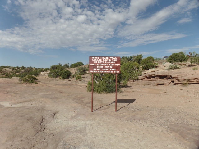
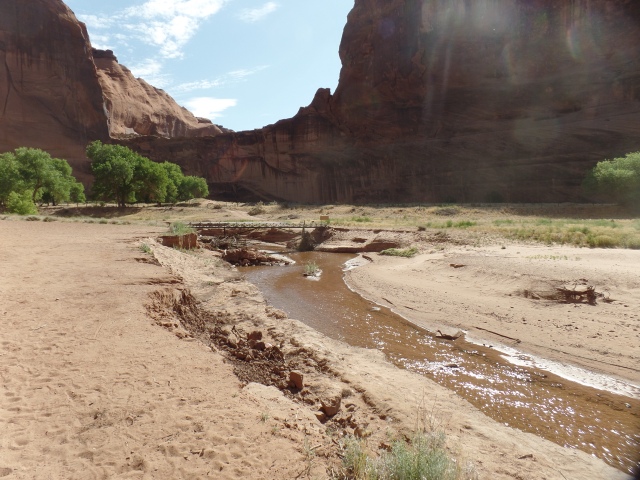
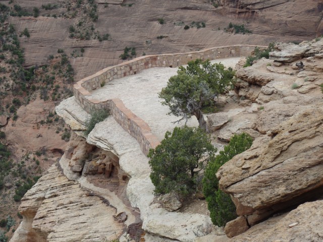
After a comfortable night in my tent, I spent the morning hiking White House Ruins Trail, the only unguided hike into Canyon de Chelly.  The route takes one down to a properly fenced off ruin, with various formations, images and a working farm (no photographs allowed) along the way.

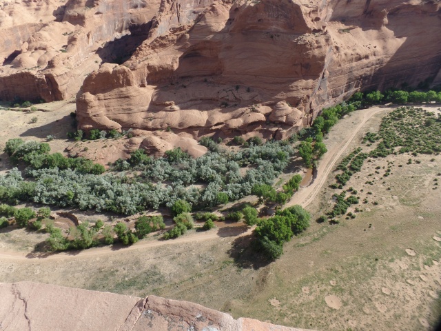
Without further ado, let the pictures speak for themselves.  First, a couple of views from the overlook:

SAMSUNG CAMERA PICTURES

SAMSUNG CAMERA PICTURES

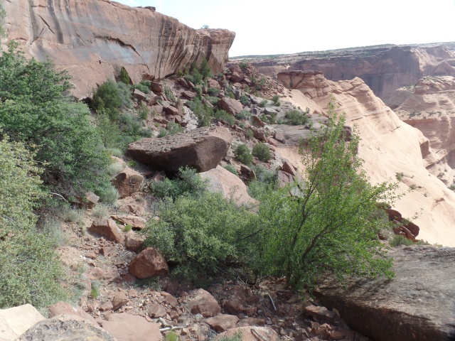
The trail starts flat, then quickly gets steep.

SAMSUNG CAMERA PICTURES

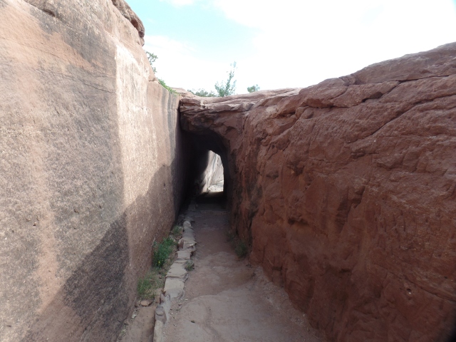
There are two tunnels along the trail.  This is the smaller one.

SAMSUNG CAMERA PICTURES

The trail looks messy, but is actually well-maintained.

SAMSUNG CAMERA PICTURES

Some reinforcing has been needed, over the years.

SAMSUNG CAMERA PICTURES

The canyon is watching.

SAMSUNG CAMERA PICTURES

SAMSUNG CAMERA PICTURES

This verdancy allows many Dineh to farm here, at the Canyon’s bottom.

SAMSUNG CAMERA PICTURES

SAMSUNG CAMERA PICTURES

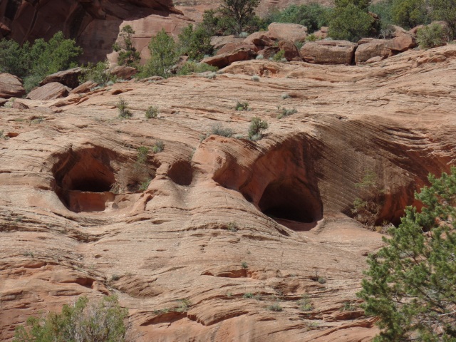
Caves abound-or they are watchmen?

SAMSUNG CAMERA PICTURES

Grey gypsum and turquoise are embedded in the sandstone, at this particular spot.

SAMSUNG CAMERA PICTURES

Here is the second tunnel.

SAMSUNG CAMERA PICTURES

Even ants need picnic benches.

SAMSUNG CAMERA PICTURES

Camellias add a nice touch to the canyon bottom.

SAMSUNG CAMERA PICTURES

This majestic tableau rises above the working farm I passed.

SAMSUNG CAMERA PICTURES

Chinle Wash is flowing mildly, but steadily.

SAMSUNG CAMERA PICTURES

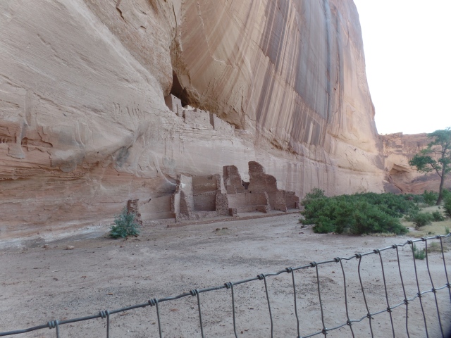
After a leisurely hike, here they were:  White House Ruin, built by Ancestral Puebloans, around 1060 A.D. and occupied continuously for 200 years afterward.

SAMSUNG CAMERA PICTURES

SAMSUNG CAMERA PICTURES

The walk back up was not at all hard, with a couple walking slightly ahead of me, and stopping for occasional conversation, then moving along for their own private reflections.

This was my fourth time hiking White House Trail ,and certainly the most well documented.

NEXT:  The Road to Window Rock

Canyon de Chelly: The View From the Top

17

June 15, 2019, Chinle-

Many people, when comparing Arizona’s myriad of canyons, prefer smaller ones. Canyon de Chelly (pronounced SHAY), high on the eastern edge of the Colorado Plateau, has its thousands of afficionados.  It was one of the alternatives to the Grand Canyon, for Dineh people seeking to hide from Kit Carson’s forces, during the run-up to the Long Walk.

SAMSUNG CAMERA PICTURES

Today, the place is, reasonably, packed with visitors of all ages- taking jeep tours, riding horseback, walking with authorized Dineh guides, or on their own (along White House Trail, which will be the subject of the next post).  Some are happy with viewing the magnificence from rim overlooks.  Still others are okay with just camping, at the NPS-run Cottonwood, or at the privately-owned Spider Rock Campground. Then, there is the chill-out crowd, hanging out at Thunderbird Lodge.

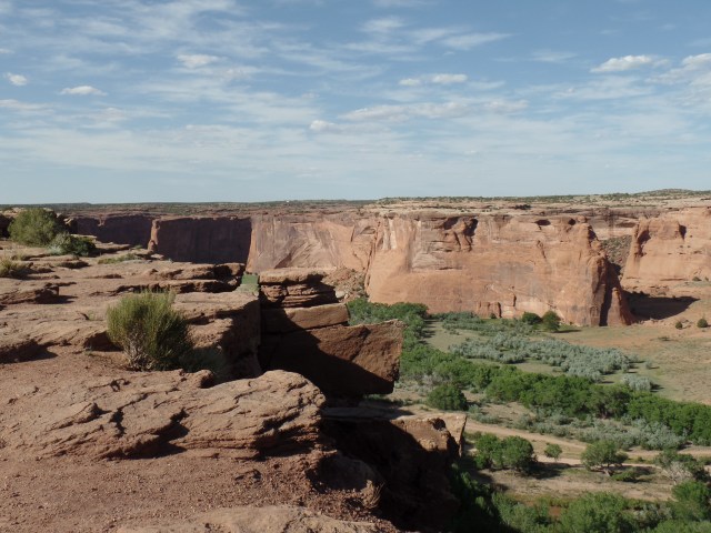
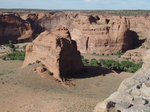
My focus was two-fold: Take in the South Rim overlooks, camp at Cottonwood, then hike White House Trail and end with the North Rim viewpoints.  That worked well, and so-here are views from each of the overlooks, beginning with Tunnel Canyon and ending with Mummy Cave.

Tunnel Canyon Overlook:

SAMSUNG CAMERA PICTURES

Tsegi Overlook:  (Tsegi is Dineh for “canyon”)

SAMSUNG CAMERA PICTURES

Junction Overlook: (Canyon de Chelly {South} and Canyon del Muerto {North} converge here.)

SAMSUNG CAMERA PICTURES

The overlook, and other highlights, of White House Trail, will be featured in the next post.

Sliding House Overlook:

SAMSUNG CAMERA PICTURES

Face Rock Overlook:SAMSUNG CAMERA PICTURES

Spider Rock Overlook:

SAMSUNG CAMERA PICTURES

Now, from the North Rim, here’s a view from Antelope House Overlook: (This ruin may only be viewed up close, if one is accompanied by a registered Navajo guide.)

SAMSUNG CAMERA PICTURES

Massacre Cave Overlook:  (The cave itself was the scene of a wanton slaughter of Dineh women and children, by Spanish soldiers, in 1805.)

SAMSUNG CAMERA PICTURES

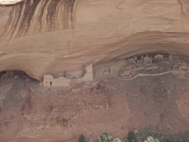
Mummy Cave Overlook: (This also accessible only on a guided tour.  Mummy Cave is the largest Ancient Puebloan ruin in Canyon de Chelly National Monument.)

SAMSUNG CAMERA PICTURES

So, as you can see, there is a wide variety of learning activities at Canyon de Chelly National Monument.  An old favourite hike, White House Ruins Trail, is among them and is the subject of the next post.


The Art of Encouragement

2

SAMSUNG CAMERA PICTURESJune 14, 2019, Ganado, AZ-
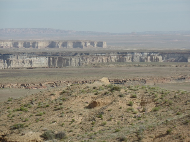
During the course of the tortuous process of incarceration, known as The Long Walk, white America showed itself to be of two minds, regarding the Dineh (Navajo) people.  There was the idea that, by removing Dineh, the resources of the area in which they lived would be available to the “Greater Nation”.   President Lincoln also retained the distrust and dislike of First Nations people, which he had carried since his participation in the Indian Wars of 1818-20.  He did not have to be cajoled into signing off on this travesty.

In all of this, an even-handed, but not easily-swayed, Dineh leader named Totsohnii Hastiin (“Man of the Big Water”) resisted incarceration, initially, fleeing to the Grand Canyon and living among his paternal relatives, who were Hopi.  He learned of his people’s suffering at Fort Wingate, and so surrendered, after a time.

When the Dineh were allowed to return to their traditional homes, by President Andrew Johnson, in 1868, some Euro-American traders, especially those of Spanish or Mexican ancestry, were allowed to approach the First Nations people, to establish trading rights.

One of these was a New Mexico native, John Lorenzo Hubble.  He settled with his family in a small Dineh settlement called Pueblo Colorado.  There, Chief Totsohnii established a friendship with “Don” Hubble (Don is a Spanish term of respect for a man of means.) In time, the village of Pueblo Colorado became regularly confused with the large town of Pueblo, Colorado. The people chose to rename their village as Ganado, after Chief Totsohnii’s common title, Ganado Mucho (“many cattle”).  Both names stuck, and today the great leader is remembered as Ganado Mucho.  The village has become a thriving crossroads commercial center.

An essential part of Ganado’s growth has come from the trading post established here, by John Lorenzo Hubble, in 1878.  Hubbell lived here with his family and actively encouraged Dineh artisans to sell their jewelry and wool rugs, two trades they had learned from the Spanish and which they had perfected over nearly a century.  His trading post became a model for others, throughout the Navajo Nation, and nearby First Nations communities.

Today, Hubbell Trading Post remains a working concern, whilst also being preserved in the National Park System, as a National Historical Site.  Here are some scenes of this special establishment.  Below, is the side entrance to the Main Trading Post.


SAM_1640.JPG

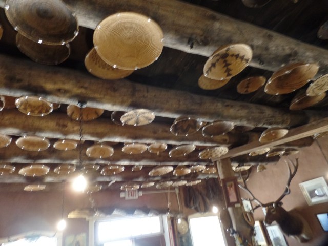
On the ceiling of the “Jewelry Room”, one sees baskets of many First Nations, who traded them with Mr; Hubbell and continue to trade with the present-day proprietors.


SAM_1641.JPG

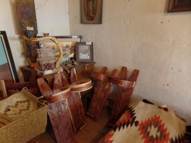
The cradle board, examples of which are shown below, was essential for Dineh mothers to carry their infants, both during their work in the fields and along the Long Walk.  It is still used today, by traditional Dineh women.

SAMSUNG CAMERA PICTURES

In these corrals, the Churro sheep that are so essential to Navajo weaving, as well as for the mutton that is integral to the Dineh diet, are penned.  Churro mutton is one of the Heritage Foods, recognized by Slow Food International, in its work to maintain a diversity of foods for the human race.

SAMSUNG CAMERA PICTURES

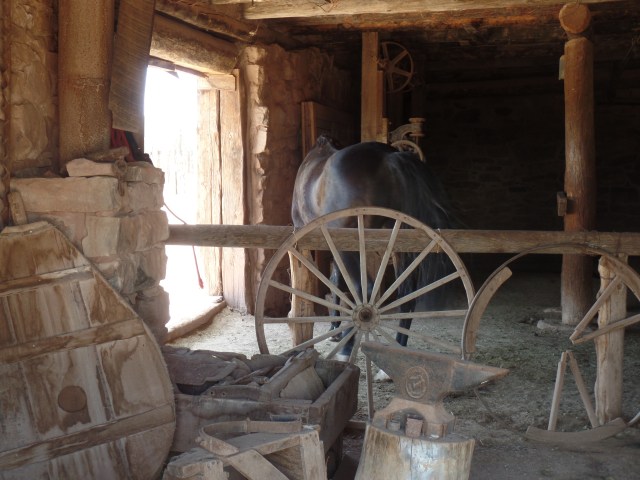
Horses, also beloved of Dineh, as beasts of burden, are also corralled here.

SAMSUNG CAMERA PICTURES

I got a chance to briefly look inside the home of the Hubbell family, now preserved by the National Park Service.

SAMSUNG CAMERA PICTURES

The unique tree stump carving below, was commissioned by the  Hubbell family, as proof of  the range of Dineh artistry.

SAMSUNG CAMERA PICTURES

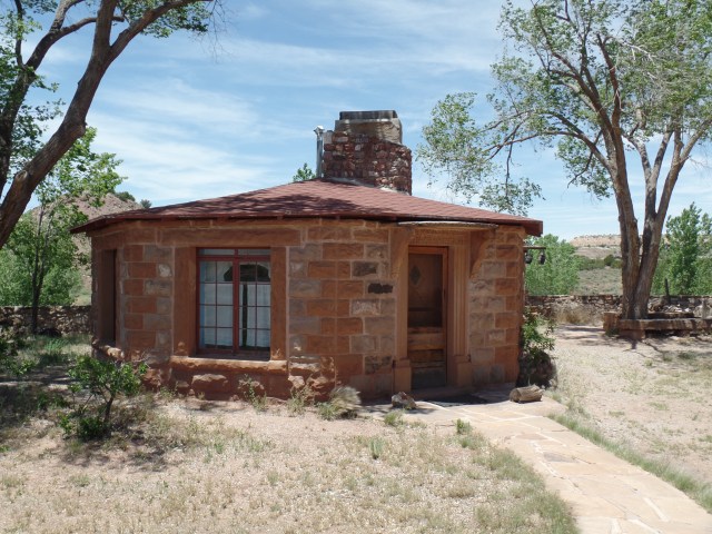
This hogan-like octagonal cottage housed artists who were commissioned by Mr. Hubbell.

SAMSUNG CAMERA PICTURES

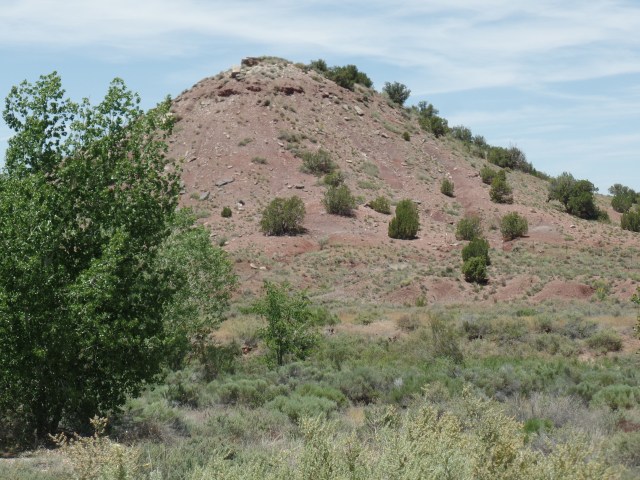
The Hubbell family members are buried on this hill, which is off-limits to the public.

SAMSUNG CAMERA PICTURES

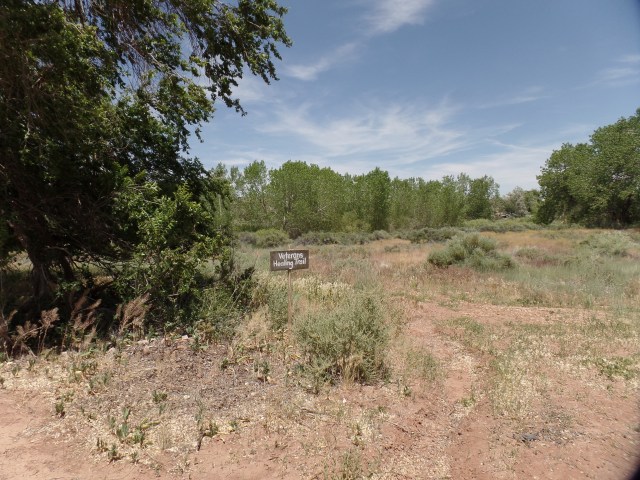
The property also shares a Veterans Healing Trail, a serene walk of about 3/4 mile, with the Chapter of Ganado.

SAMSUNG CAMERA PICTURES

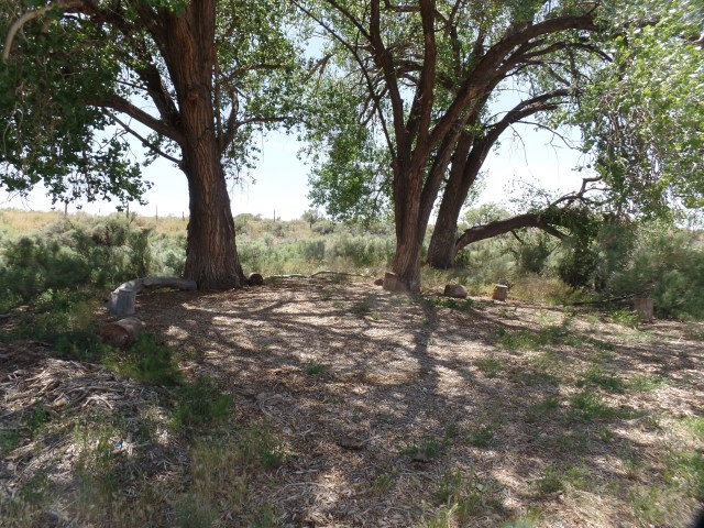
It ends at this Peace Tree, on Ganado Chapter property.

SAM_1673.JPG

This first real effort, at bringing heretofore inimical peoples together, has served as an ongoing example of just how our our interests, both common and divergent, can serve as an example of alternatives to conflict.

NEXT:  Canyon de Chelly, As Viewed From the Rims.

Where Affirmation Started

8

June 14, 2019, Keams Canyon, AZ-

Two months ago, after I left my full-time work, I got a text from a long-time friend, from the Navajo Nation.  Her uncle, another long-time friend, had died, and the family needed my help with his funeral.  I was to offer a final prayer, to which I agreed.  I did the service, in a small cemetery on this isolated, but starkly beautiful location.

Another member of the family lives near the cemetery and invited me to visit him, when I was next in the area.  There was no better time for this, than the start of the Summer, 2019 road trip, so I came up here yesterday evening and spent the night in his nicely furnished and solidly-built ranch style home.

It does my heart good to see Indigenous people have access to the same quality of life that people in other ethnic groups have.  I don’t see the point in anyone being left out.  For too long, First Nations have taken the leavings of the majority population.  This is changing, mostly for the better.

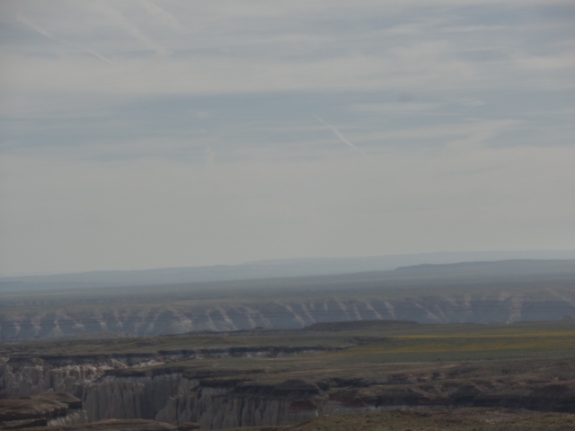
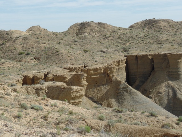
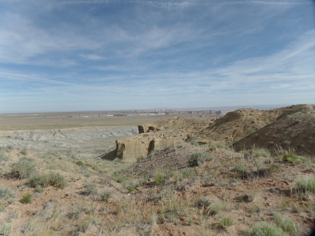
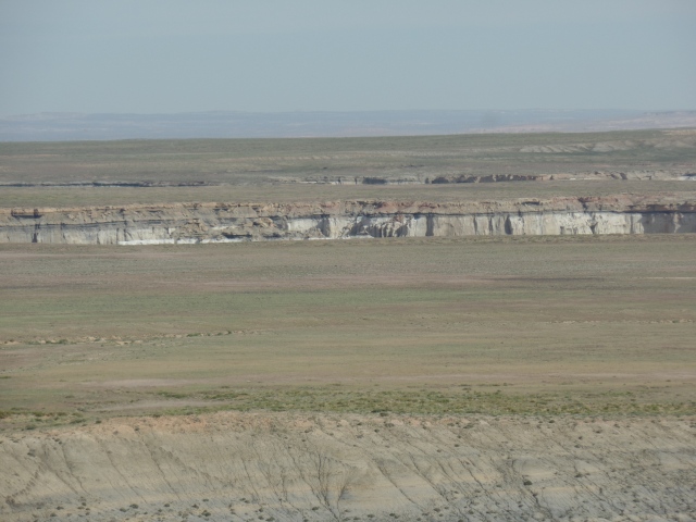
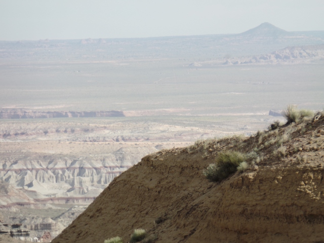
Coal Mine Canyon is one of the least-visited parts of Arizona. Infrastructure is non-existent though a graded road made it possible for me to take some photos of the canyon, from its south rim.

SAMSUNG CAMERA PICTURES

SAMSUNG CAMERA PICTURES

SAMSUNG CAMERA PICTURES

SAMSUNG CAMERA PICTURESSAMSUNG CAMERA PICTURESSAMSUNG CAMERA PICTURESSAMSUNG CAMERA PICTURES

This last looks like the Earth is watching!

SAMSUNG CAMERA PICTURES

I continued on, this morning, to the Hopi Nation, visiting a former co-worker, briefly, then upon finding there was no social dance in her village, this weekend, I continued on over to Keams Canyon, where what has turned out to be one of the two really rewarding positions I ever held, started, in August, 1992.  It’s certainly arguable that I should never have left Cedar Unified, but here we are.  I felt affirmed as a school counselor, more than I did in any other position.  Affirmation began in Tuba City, near Coal Mine Mesa, and continued both at Jeju National University and here.  I still feel validated by my First Nations friends.

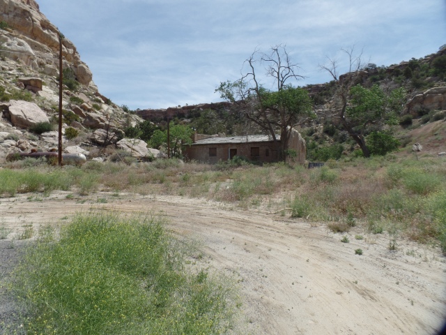
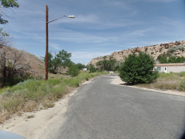
Here are a couple of views of the inner area of  Keams Canyon, now largely abandoned.

SAMSUNG CAMERA PICTURES

SAMSUNG CAMERA PICTURESSAMSUNG CAMERA PICTURES

SAMSUNG CAMERA PICTURESSAMSUNG CAMERA PICTURES

There used to be a trail that led from Keams to a part of the nearby Dineh settlement of Jeddito, to which we moved in 1993, after living in Keams for a year.  The trail, like much of the settlement has been redirected elsewhere.

NEXT:  Hubbell Trading Post and Its Impact on Navajo Arts and Crafts