July 5, 2017, Moab-
(This is the first of several backdated posts from Road Trip 2017. I will be in a place with spotty WiFi, over the next few days, and family time comes first, so this series will be slow in posting.)
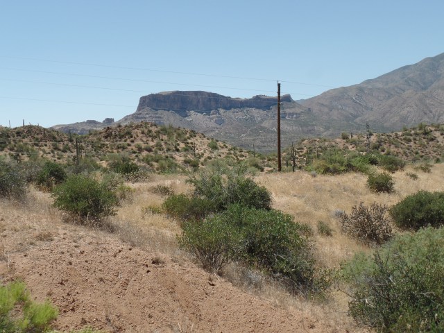
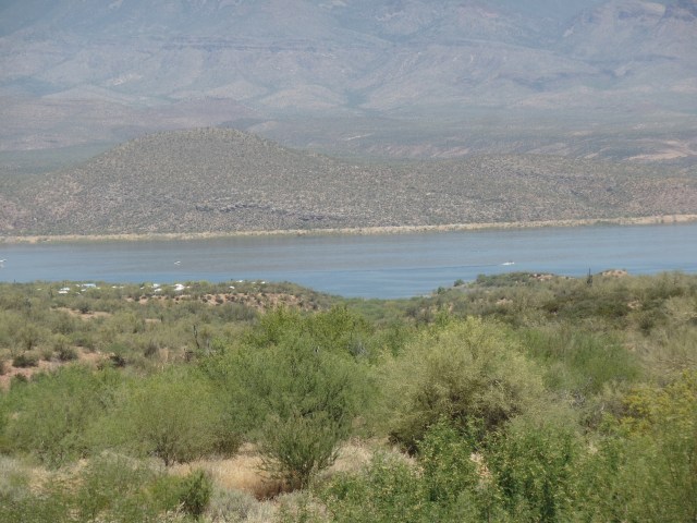
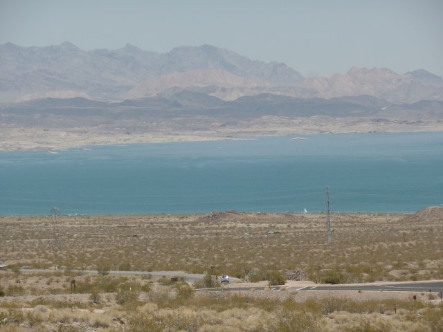
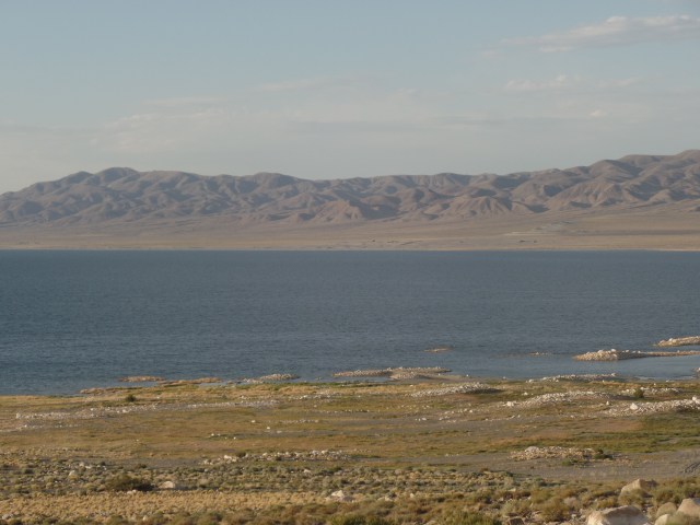
It’s always tough to leave loved ones behind, but life must go on, and nowhere does it go on better than in America’s Outback. The Great Basin is largely the bowl left by Lake Lahontan, and other large bodies of water, remnants of one huge sea, that once occupied our continent’s mid-section. The present Lake Lahontan is quite impressive, actually, with the seasonal rains having been copious here, as elsewhere in the West, this past winter and spring. I took about a half hour to visit the lovely giant.
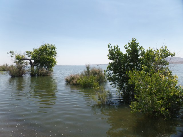
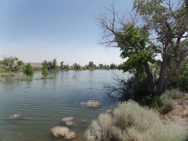
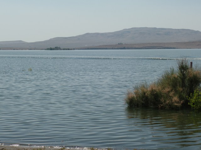
Much more was above water, this time last year.
I drove past the salt flats and noted they looked a bit browner than usually- another consequence of extra moisture. At the foot of the Toiyabe Mountains, I came upon a forlorn looking man, whose jeep had just discharged a fair amount of water. My jerry can took care of that aspect of the matter, in short order. After, I followed him a short distance towards Austin, the nearest town, he told me to go on ahead, as the issue may have been the fuel pump, and he wanted to give it some rest.
It is a fair uphill, from the salt flats to Austin, so I informed the dispatcher, at Lander County’s office, of his issue. After lunch, in Toiyabe Cafe, on Austin’s main drag, I noticed the town’s only flatbed tow truck was headed out, in his direction. The ladies at the Cafe said the sheriff is most diligent about NOT letting stranded motorists wait too long. That’s one of the fine things about people in remote areas: Most everyone is a Good Samaritan. T\
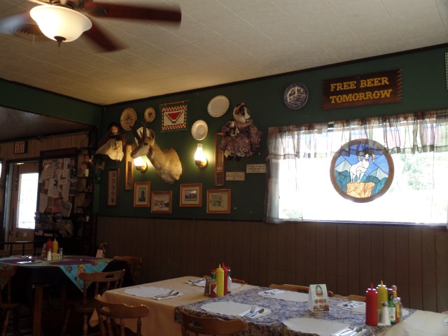
Toiyabe Cafe has some great eats, also. Since my only beer is “near”, I guess I could wait.
There’s no bush meat available, though, but who wants to eat a carnivore, anyway?
I drove on and on, determined to make Utah’s sandstone country, by bedtime. So, on past the Great Basin National Park, various other salt flats, the lovely towns of Eureka, Ely, Delta(UT), Salina and Green River, the Hyundai blazed. Rooms in this bustling town were, of course GONE, by the time I pulled in, so a few miles down the road, in La Sal, I found a rest area/makeshift campground, guarded by this great sandstone:
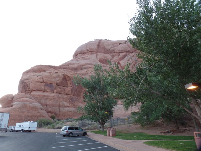
Since the people parked in the foreground made themselves at home, camp-style, I did likewise. Things are relaxed (24-hour limit), in the Beehive State.
NEXT UP: Wilson Arch, Bluff Fort and an errand accomplished.


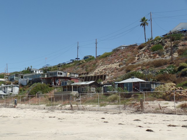
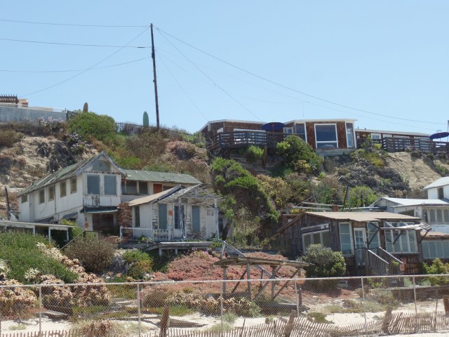


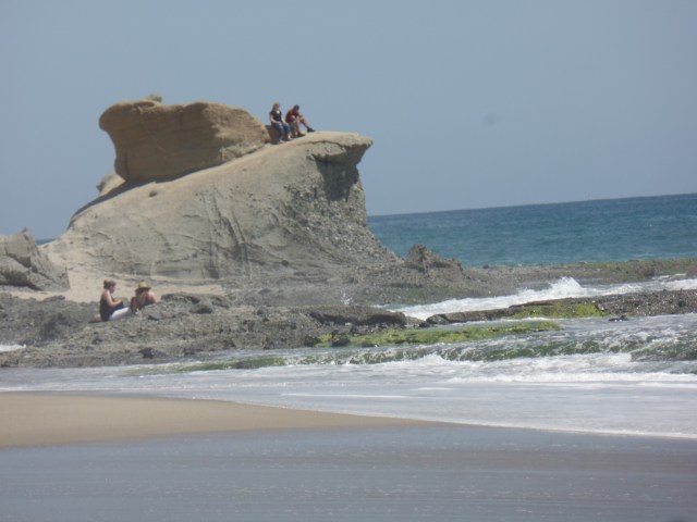
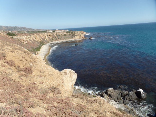
 June 12, 2017, San Onofre-


 I felt a fair amount of serenity, with most of the “recreationists” very busy with sporting activities and practicing dance routines, elsewhere in the great city park. Below, see the back of the band shell building. I did not photograph the dance practice taking place in the front.