Sixty-Six for Sixty Six, Part XVII: The Amazing Fruits of Sand

5


SAMSUNG CAMERA PICTURES
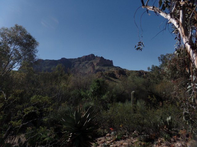
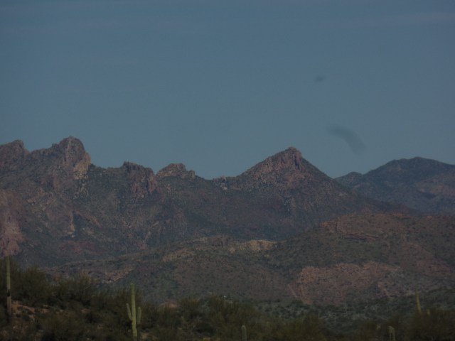
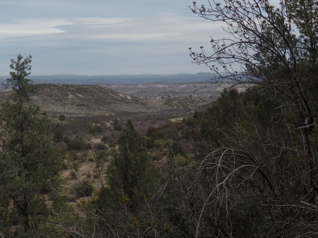
March 14, 2017, Superior- No doubt about it, this area has me hooked.  Boyce Thompson Arboretum State Park, a combination of Desert Botanical Garden and the Prescott Circle Trail, is the centerpiece of an intensely spiritual region.  Queen Creek, which runs through the park, on the south side, has carved Arizona’s best-kept secret, in its network of canyons.  Picket Post Mountain, to the west, watches over the Arboretum, like a strong big brother.  The people I met, from a gentle wanderer who is exploring all the National Forests west of the Mississippi, to a  vibrant,passionately caring barista, exuded the sort of spirituality that comes from tapping into the extant energy field that is found in places that stay close to their natural origins.

I will present Boyce Thompson Arboretum in three segments:  This first post looks at the various desert plants, from all corners of the world, with an emphasis on the Sonoran and Chihuahuan Deserts, which are closest to the central Arizona highlands, in which the park exists.

The next post will feature Lake Ayer and the terrain around Picket Post House (Boyce Thompson’s residence)  The last  will take in the High Trail and the west end of Queen Creek Canyon.

Here are four scenes of the Sonoran Trail, which offers the flora of Arizona, Sonora (MX) and Baja California.

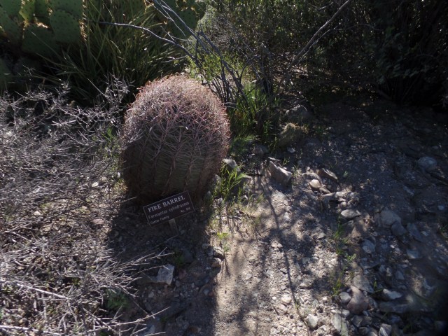
This is a Fire Barrel Cactus, found in both the Sonoran and lower Mojave Deserts.

SAMSUNG CAMERA PICTURES

Maguey de Pulque is the source of a medicinal fermented beverage, popular first with the indigenous people of northwest and central Mexico.  It was originally used to relieve intestinal discomfort.

SAMSUNG CAMERA PICTURES

Palm trees, of various types, are found throughout the deserts of Mexico.  This San Jose Hester Palm is found only in Baja California.

SAMSUNG CAMERA PICTURES

Here is a testament to the full botanic splendour of the Sonoran Desert, holding its own with the exhibits of Desert Botanical Garden (Phoenix) and Arizona-Sonora Desert Museum(Tucson).  The flowering has not reached its peak, but anticipated rains, next week, may change that.  I may even catch some of the colours, when I am here next, on April 1-2.

SAMSUNG CAMERA PICTURES

The Curandero Trail, named for the traditional healers of Mexico, focuses on medicinal plants, both of the Sonoran and of the Chihuahuan Deserts.

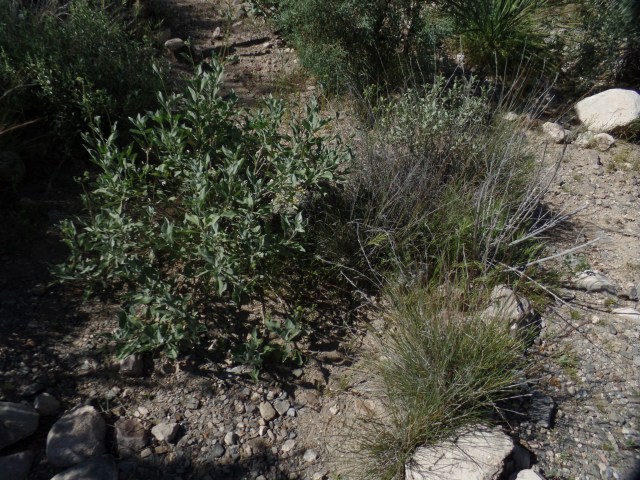
Desert lavender has a calming effect, similar to that of its cousin, in the temperate climates to the north.  Here it is, in a dry tributary of Queen Creek.

SAMSUNG CAMERA PICTURES

Snakeweed, seen behind the informational sign, had a wide variety of uses, from treating snakebite to serving as a laxative for horses.

SAMSUNG CAMERA PICTURESBoyce Thompson Arboretum has an extensive catalog of course offerings, on the uses of desert plants.  I am likely to make good use of those courses, in the intermediate future.

Finally, here are a few South American and Australian desert scenes.

This is a Toothpick Cactus, from Argentina’s Gran Chaco.

SAMSUNG CAMERA PICTURES

The Chaco, like the Sonoran Desert, gets quite verdant, with winter rains (July).

SAMSUNG CAMERA PICTURES

The interior of Australia  is, as is widely known, a place for only the hardiest of man and beast.  This water tower is indicative of what might be found in a swagman’s camp.  Swagmen herded livestock, in oases of the Outback.SAMSUNG CAMERA PICTURES

Here are  eucalyptus trees, found in the eastern part of the Outback.

SAMSUNG CAMERA PICTURES

SAMSUNG CAMERA PICTURES

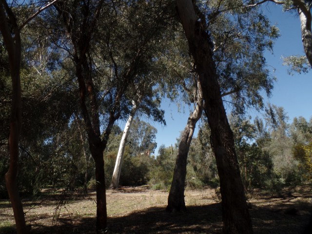
This gum tree does not supply chicle, as its Mesoamerican and African cousins do, but did give swagmen a supply of resin, for their workaday adhesive needs.

SAMSUNG CAMERA PICTURES

This is, of course, a minute sampling of what is in store for the visitor to Boyce Thompson.  Two greenhouses, just shy of the park exit, offer sensitive African and Arabian desert flora.  These will have their own segments of the park, in the near future, as will Central Asian and Mediterranean plant life.

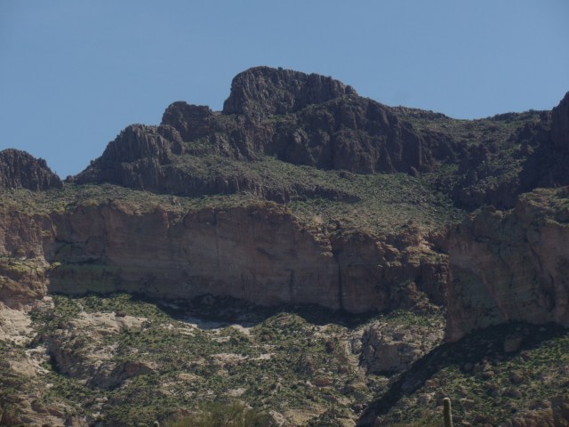
Next up:  Geology’s Turn to Dazzle


Sixty-Six for Sixty Six, Part XVI: Spirits and Graffiti

0

March 14, 2017, Superior-  SAMSUNG CAMERA PICTURES

Some call the place Devil’s Canyon.  Others prefer Spirit Canyon.  Folks like me look at it, and Queen Creek Gorge, it is.  There seem to be at least three canyons, branching off.  The one I checked out, from the highway rim, is between Superior and the Oak Flat turnoff.  It includes the high bridge over Queen Creek and a maze of rhyolite spires, reminding me of southeast Nevada’s Cathedral Gorge.

Bored local youths have, over the years, added their signatures, hopes and dreams to the pillars.  Most are mildly irritating, to those who seek solace, on the canyon’s edge.  One, though, is a statement that most of us can appreciate.

SAMSUNG CAMERA PICTURES

For the greater part, though, Queen Creek Gorge is a major delight, for hikers and rock climbers, alike.  It accounts for a good number of the campers who flock to Oak Flat.  On my next visit to Superior, I want to spend a key part of the time checking out the creek bed itself.

SAMSUNG CAMERA PICTURES 
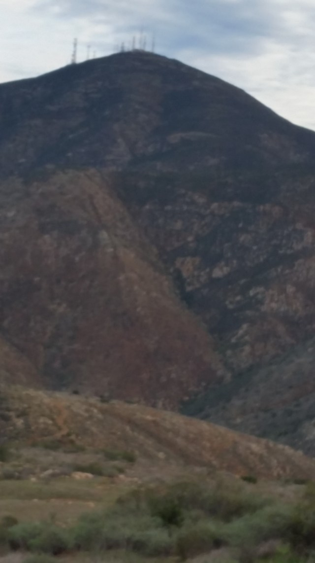
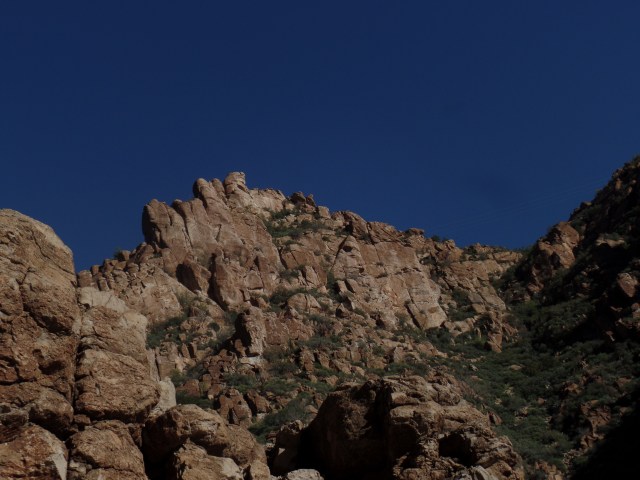
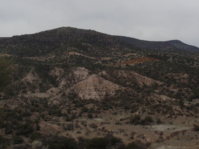
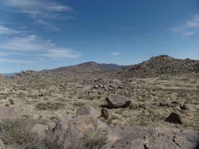
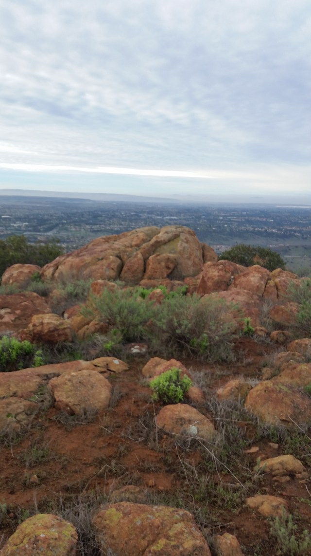
It also looks as if there is a ridge that could accommodate the hiker.

SAMSUNG CAMERA PICTURES

I always imagine the various face-like features of the sandstone spires, as if they were gargoyles.

SAMSUNG CAMERA PICTURES

Afternoon shadows mask what the stand-alone spire might resemble.

SAMSUNG CAMERA PICTURES

These three appear rather comical, yet ever watchful.

SAMSUNG CAMERA PICTURES

This one, I call Joe Palooka, because he probably isn’t into any funny business.

SAMSUNG CAMERA PICTURES

The scene on the north side of Highway 60 is every bit as amazing.  I saw an offbeat George Washington, in the figure to the right.

SAMSUNG CAMERA PICTURES

After about ten minutes of contemplation, it was time to bid adieu to the many spirits who seem to be inhabiting this compact, but extraordinary, canyon system.

SAMSUNG CAMERA PICTURES

Next up-  Boyce Thompson Arboretum:  The Regional Exhibits


Sixty-Six for Sixty Six, Part XV: Free Souls Abound

2

March 13, 2017, Oak Flat, AZ-

SAMSUNG CAMERA PICTURES 
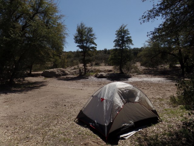
The young couple were a bit taken aback, as I returned to the campsite, where my tent was set up.  They hushed their small, annoyed dog, as I explained I had been at the campsite for a while and had gone to town for dinner.  As they were car-camping, and the campground is free, we were all fine with each other’s presence.  Besides, after some banter, I left them alone, and was content to watch the stars and think loving thoughts. The campground reflected those back.

SAMSUNG CAMERA PICTURES

Before all this, as there were about 45 minutes until sundown, I took a stroll along an easy trail that led south and west from the campground.  A free spirit, whose own goal was explore all the National Forests west of the Mississippi, had pointed me in the direction of a spring, which he said was a good two hours’ hike from here.  I took the stone path out of the campground and shortly found remnants of another of General Stoneman’s outposts.

SAMSUNG CAMERA PICTURES

Rhyolite and obsidian abound, in this part of Arizona, as you will see further in “Devils Canyon” (I prefer the name, Queen Creek Gorge, but to each their own.)

SAMSUNG CAMERA PICTURES

Stone walls were built to last, in the 1870’s.

SAMSUNG CAMERA PICTURES

SAMSUNG CAMERA PICTURES

I like to pay respects at  memorials to the local departed, wherever I go.  This cross honours the wife of an Oak Flat native.

The campground is of further interest to me, because there is a controversy over just how extensively a planned underground copper mine will be allowed to run, underneath this immediate area.  There are concerns about depleting the water table and about creating a giant sinkhole, under the current campground.  There is some debate, even among Native Americans, as to the sacredness of the site to the Apache Nation.  Several protesters have set up a camp, within the campground, featuring traditional Apache dwellings, called wikieup.  The environmental and archaeological concerns are valid, as is the need for work, among the residents of Superior and outlying areas.  I would probably favour a scaled back mining enterprise, with careful attention to the water table and to honouring any burial sites that may be found.

SAMSUNG CAMERA PICTURES

SAMSUNG CAMERA PICTURES


Sixty-Six for Sixty Six, Part XIV: Picketpost Mountain

4

March 13, 2017, Superior, AZ- Spring Break started in earnest, this morning.  A drive down to my dentist’s office took care of a moderately vexing issue, then I stopped at Scottsdale’s lovely Baha’i Center, to recite my morning prayers, in its serene courtyard.

Superior, and the Upper Queen Creek Watershed, have long been on my radar screen as a venue for exploration.  Picketpost Mountain forms a spectacular backdrop for Boyce Thompson Arboretum, a compendium of desert flora, from around the globe.  Like its counterpart, Desert Botanical Garden, in Phoenix’s  Papago Park, “The Boyce” manages to educate a wide-ranging public, on the value of deserts and the importance of preserving the life that is found in them.  Much more about all that, later.

My immediate draw, even before getting to the town of Superior, was a brief (2-mile, round trip) hike in the eastern approach to Picketpost’s base.  This gave me a foothold on Arizona National Scenic Trail, the length of which may yet be in my future.  It was also not enervating, as I am in the last week of a sunrise-to-sunset fast, of 19 days’ duration.

Here are some of the sights that greeted me, in the lushness of the Sonoran Desert landscape.SAMSUNG CAMERA PICTURES

This work station is managed by the Federal BLM, two of whose workers were on hand, when I first pulled in, to make sure I wasn’t planning on camping at the site.  Picketpost dominates Superior’s western approach, much as Pike’s Peak lords over Colorado Springs, and the San Francisco Peaks, over Flagstaff.  It was named by soldiers stationed here, under Gen. George Stoneman, in 1870, as it was a good spot for a sentinel post. Here are some of what await the serious hiker. (I would consider it in October, not before.)

SAMSUNG CAMERA PICTURES

SAMSUNG CAMERA PICTURES

The wall is a remnant of General Stoneman’s western camp.  The bulk of his operation was what is now the town of Superior, 3 miles further east.

SAMSUNG CAMERA PICTURES

As you will see, continuously, in this series, the rains have been good to Arizona, this winter.

SAMSUNG CAMERA PICTURES

Thanks to my zoom,  here is a close-up of the top ridge, from a good distance.

SAMSUNG CAMERA PICTURES

In the opposite direction, Weaver’s Needle says “Hey, remember me?”  I surely do, and what a marvelous trek that was!

SAMSUNG CAMERA PICTURES

I have encountered many heart rocks, all symbols that the Universe holds me in a good place.  Diamond-shaped rocks are a sign of one step further.  Superior would join Prescott, Bisbee, Flagstaff, Sedona, Tubac and Chloride as a special Arizona place in my heart.

SAMSUNG CAMERA PICTURES

Next up:  Oak Flat


Clear As Mud

4

March 4, 2017, Camp Verde- One of the features of Arizona life, that escapes many visitors, is the seasonal vitality of our rivers.  After taking part in a Red Cross service activity, I headed to Clear Creek Day Use Area, which offers access to the West Clear Creek, as it heads southeast, towards its eventual confluence with the Verde River.  As you will see, the creek’s name, this time of year, is a misnomer.

SAMSUNG CAMERA PICTURES

There was a party of above 18 people, including two small children, preparing to raft West Clear, as I arrived for a short hike along its west bank.  All were well-suited up for the experience, and I wished them safe passage.  Below, are several things that awaited them.

SAMSUNG CAMERA PICTURESSAMSUNG CAMERA PICTURES

Of course, there was plenty of open water, behind this particular tree; but you get the picture.

SAMSUNG CAMERA PICTURES

One of the attractions here, in calmer weather, is the jump-off point.

SAMSUNG CAMERA PICTURES

Some people just figure, in the dryness of September and October, that it’s no big deal to leave a memento of industrialism.  More’s the pity.

SAMSUNG CAMERA PICTURES

Once back on drier terrain, I made note of the footbridge, built by the Civilian Conservation Corps, way back in 1940.

SAMSUNG CAMERA PICTURES

There was still some energy left in me, so, despite it being the period of the Baha’i Fast, I took in a short segment of Copper Canyon Trail.  The last time, I walked the north segment, which leads to I-17.  This time, I headed southward and up a small mesa.  It is not an especially spectacular trail, but it’s nature and I practically had the place to myself.  An old cowboy, passing by, made note of my Red Cross t-shirt and remarked as how such charities are in debt, before going his way.  While that may have been true, at one point, I’m not so sure that our donors put up with such, anymore.


Anyway, here are a few scenes, which a couple of herds of cattle and I shared, along the trail.  There wasn’t much water in Copper Creek, but it was clear.

SAMSUNG CAMERA PICTURES

It wasn’t long, before I headed up the two switchbacks which led to the mesa top.  There are, actually, about five such mesas, rising up out of Copper Canyon.  The scene in the near distance, is Clear Creek Village, just south of Camp Verde.

SAMSUNG CAMERA PICTURES

It is possible for the discerning eye to see traffic, headed northbound, on I-17.

SAMSUNG CAMERA PICTURES

Despite the winter’s continued scenes of bareness, the promise of Spring is evident, in these wild dandelions.

SAMSUNG CAMERA PICTURES

So, there goes a very full day, spent with our beautiful eastern neighbour, the Verde Valley.

Sixty-six for Sixty Six, Part X:The Hotshots Trail

5

February 25, 2017, Yarnell-

A lone cactus wren croaked, as I came up the first stretch of hillside, on the way to the spot where, on June 30, 2013, nineteen formidable men met their doom, while working to safeguard this small community at the southeast edge of the Mohave Desert.

I encountered a moderate trail, whose increase in elevation is tempered by long switchbacks, frequent stops to read and ponder each of 19 memorial plaques, set in stones along the way.  Wooden benches and informational signs also provide respite, for anyone who finds the place more strenuous than anticipated.

Yarnell Hill abounds in granite boulders, much as does the back country between here and the east side of Prescott, nearly 50 miles away.  One of these boulders resembles a praying monk.  It is one of the first sights greeting the hiker, on the way up from the trailhead, 1 1/2 miles southwest of Yarnell’s center.  He stands, as lonely as the wildland firefighters must have felt, on that blazing final day of June.

SAMSUNG CAMERA PICTURES

SAMSUNG CAMERA PICTURES

Each man left people in grief- parents, a loyal woman, young children, siblings and entire communities, from Prescott itself to places as far afield as Oregon, Idaho and North Carolina.  Each man is immortalized by his own plaque.  Crew Chief Eric Marsh founded the Granite Mountain Hotshots, and was responsible for the recruitment and training of the men he led, for ten years, in the aftermath of the Indian Fire, which came close to obliterating downtown Prescott, in 2002.

SAMSUNG CAMERA PICTURES

I know some of the family members, of four of the Hotshots.  Each of the families has a solid work ethic, reflected in what their sons, brothers, husbands and fathers gave, however long their terms of service were.

The terrain that presented itself, that blustery, torrid weekend, was no gracious host to anyone hauling 50 pounds of gear uphill.  It was, as I say, of moderate difficulty for me, with my 15 pounds of day pack, and for those between the ages of 15 and 75, who I encountered along the way.  A couple of ladies said they found the trail scary.  I could easily figure out which places to which they were referring, though long ago, I stopped fearing secured heights.

Following, are some scenes of just what the wildland fire crew faced, in terms of terrain.  Three red-tailed hawks circled, above this rock.

SAMSUNG CAMERA PICTURES

SAMSUNG CAMERA PICTURES

SAMSUNG CAMERA PICTURES

SAMSUNG CAMERA PICTURES

Notice the charred mesquite, above, and the manzanita, below.

SAMSUNG CAMERA PICTURES

SAMSUNG CAMERA PICTURES

Unlike today’s hikers, the Hotshots had to pick their way up granite-strewn hillsides.

SAMSUNG CAMERA PICTURES

The town they were working to save survived, and will be a more vigilant place, with regard to fire safety.  Like the boulder below, Yarnell shows a large, if broken heart.

SAMSUNG CAMERA PICTURES

I continued from the main trail’s overlook, at the two-mile marker, to the memorial at the fatality site, another 3/4 mile to the east. At the site, 19 cabions encircle 19 crosses, one for each man who gave his life that day.  Some mementos have been left here, as well as at the flagpole that stands 500 yards to the east.

SAMSUNG CAMERA PICTURES

SAMSUNG CAMERA PICTURES

I sat here, in the wind, contemplating the meaning of sacrifice, while a lone woman circled around the memorial, lost in her own thoughts.  It is said that the mystery of sacrifice is that there is no sacrifice.  That can be understood, but, I would venture, not easily by a small child who wonders why Daddy went away.

Long may the heroes comfort the grieved, from their own private Valhalla.


Sixty-Six for Sixty Six, Part VII: Sudden and Sodden

6

February 20, 2017, Anthem- The sight that greeted me, as I headed towards the spot where I heard a small child screaming, was not an alien arachnid, but the upended root system of a dead mesquite.20170220_1258341

The child, likewise, was fine.  He was just being willful and demanding- and mom had everything under control.  This mini-outburst was off to the side of the Anthem segment of the Maricopa Trail.

20170220_1217011

I was driving back from a lengthy, and rather testy, medical appointment this morning .  (I am fine, and the less said, the better), when I happened upon the Anthem Trailhead.  This was another confirmation of the dictum that one creates one’s own reality.  I had been curious, as to the condition of the Sonoran Desert, after this weekend’s copious rain.  I was also curious, as to the terrain on the Maricopa Trail, between I-17 and Anthem.  The gooey, but flat, hike I took, early this afternoon, answered both questions.

As you can see above, there are a fair number of boulders strewn along this alluvial landscape, and it is entirely within settled horse country.

20170220_1223441

There are episodic pools, along the way, one of which gave me a smile.  The main water body here, Skunk Creek, was bone dry.  There were no little white and black critters, either, but the tracks and scent of javelina were much in evidence.

20170220_1248371

I came to this underpass, at the off-ramp from I-17, and spotted the continuation of Maricopa Trail, which would have taken me to its junction with Black Canyon Trail, another 1/8 mile to the west..  So, in essence, I have hiked, in segments, from Mayer to Anthem, over the past 1 1/2 years.  My main interest in the Maricopa Trail lies in its mountains and canyons, but I will certainly take the sense of continuity, along with them.

Now, back to the title of this post.  I was treated to a sudden, brief visit from a friend who lives in Oklahoma, and his little chihuahua.  It seems my Okie friends love their ankle biters, but this little guy gave me a sniff-over and jumped up on my lap.  It was a fast friendship.  They left, ahead of me, this morning, having enjoyed an evening of warmth and stabilization, following their sodden ride through eastern and central Arizona.  At least now, the Sun will temper their return home.

So, the ground will need a few days to dry out, my lower left molar has a temporary crown-with its permanent replacement in three weeks, and I have a new little friend.

Hearts, Black History and Chief Executives

6

February 1, 2017, Prescott-

The Mini-Month is now upon us, with groundhogs galore waiting to be yanked out of the ground, tomorrow.  I know there will be many enlightening programs and articles about African-Americans, this month, but I think people should be fully honoured for their place in America’s story, and the stories of the world, EVERY month, and regardless of ethnicity.  Still, I’m glad the stories are getting out there.  Too many people still think Blacks, Native Americans, Latinos, Irish-Americans, and even women, collectively, are making up, or exaggerating, the past,  because “things aren’t so bad for ________________ NOW!” We  have to know our history, and know it well, for the very reason that too many people see things on the surface, and have short memories.

The Italian martyr, Valentino, has become a symbol of unconditional love and thus a day devoted to love- and romance- has taken the English form of his name.  St. Valentine’s Day falls on a work day, Tuesday, this year.  I will be giving the same unconditional love to my students that I offer, every day.

The following weekend will be Presidents’ Day, ostensibly to honour two of our greatest Chief Executives:  Washington and Lincoln, and, by extension, those of our presidents who have not harmed our nation.  Who they are, remains a matter of intense debate.  I have my opinion, but will not get into that, here.

Aram will leave for South Korea, in about a week.  I will be at San Diego International Airport, to see him off.  Then, each of us will get on with our respective duties, and other aspects of our lives.  For him, there will be some familiar aspects, as he was born, and spent his first three years of life, in Jeju, and shore duty will be more of a routine, than sea duty.  For me, the regimen will continue at school, the American Legion honours World War II’s Four Chaplains, my work for the Baha’i Faith goes on, and new outdoor adventures will present themselves- Scottsdale’s McDowell Mountains, the Verde Valley’s Limekiln Trail and, a slightly-delayed visit to Granite Mountain Hotshots Memorial State Park, in Yarnell.

It looks to be a fascinating 28 days.

Sea of Trees

0

January 30, 2017, Prescott-

Saturday evening, after my hike, I headed for a friend’s house, in Phoenix, where I spent the night.  I had experienced a fair amount of spiritual resonance, whilst on the trail, particularly in the alluvial stone deposits, just north of the New River. As I’m reading “The Standing Stones Speak”, which some of my more jaded friends regard as New Age hokum, I found a bit of a connection, through my meditation, between the book and the spiritual climate.

It was not a coincidence, in my view, that “The Sea of Trees”, a 2015 film that was slammed by hipster critics, was my friend’s Netflix choice for viewing, that evening.  Like the central character in the film, I was caretaker for a deathly-ill spouse.  The wife in the film was not ill for very long, though, and ended up being killed by a distracted driver, while riding in an ambulance (the one plot twist I had a hard time accepting, as I have never seen anyone T-bone an emergency vehicle, especially at a high rate of speed).

The protagonist and his wife struggled, at times, just as many couples do, when differences of life energy become personalized.  Penny and I worked through our issues, and ended strong.

When the protagonist chose to travel to a forest, east of Japan’s Mount Fuji, with the intent of committing suicide, he encountered another suicidal man, who was struggling to get out of the forest, as he had changed his mind.  Through trying to help the other man, he realizes his own suicidal impulses were not all that deep.  It turns out that his late wife’s spirit was working, through the presence of the other man, to help the protagonist work through his grief.

Again, this was no coincidence that we viewed this particular film.  I reflected that there have been so many times, in which Penny’s spirit has helped me, through one difficulty or another. This, it is apparent, is what loving spirits do for those they leave behind, here in the physical realm. Indeed, are there really any coincidences, at all?

Mother Miguel Mountain

3

January 3, 2017, Chula Vista-   Whenever I look out the window, from my son’s apartment, the curious sight of Mount San Miguel, in the Otay Range, looms to the southeast. I took advantage of Aram’s being back to work, got up before dawn, and headed over to Mount San Miguel Park, on Chula Vista’s east side.  There was a short wait, of about twenty minutes, as the city park opens at 6 A.M., with decent light about 6:30.

My choice of trails led up Mother Miguel Mountain, to a military commemorative, called Rock House.  Two explanations are in order:  “Mother Miguel” is a mash-up of Madre Grande, which some early settlers from the eastern U.S. took to pronouncing “Mother Grundy”, and San Miguel, the name given to the area by earlier Spanish ranchers;  Rock House is the name given to a rock arrangement which houses two, rather tattered, flags-our national flag and the banner honouring Prisoners-of-War and those Missing-in-Action.  The latter is to be flown, or displayed at meetings of veterans’ service organizations, until the day comes when all such persons, or their identified remains, are honourably interred or cremated on U.S. soil.

My leisurely up and back lasted about three hours, over a round trip of 6.2 miles.  The photos, taken with my phone camera, are not as clear as those taken with the digital, but you will get the idea.20170103_0651391

Here is the trailhead for Mother Miguel, from the east end of Mt. San Miguel Park.20170103_0701591

Above, is a view of the destination, for which I used a series of 22 non-taxing switchbacks.

20170103_0711551

Occasional limestone boulder piles provide a place to sit and contemplate, along the way.

20161106_1303161

Others just dominate their area,  as does this castle-like outcropping.

20170103_0808581

Once atop the modest-sized peak, Mexico looms, to the south, with the San Ysidro district of San Diego, in the foreground.

20170103_081143[1].jpg

Here is Rock House, with its resident banners.

20170103_081252[1].jpg

A second stone arrangement, intended as a circle for contemplation, is found just south of the Rock House.  Sweetwater Reservoir is seen in the distance.

20170103_081328[1].jpg

A third, circular, stone arrangement is a bit more to the south, still, and seems to invite a holistic view of the repatriation process.

20170103_0828011

Off to the east is Mount San Miguel, whose owners SAY they don’t want hikers going to its summit, but do nothing to prevent those few intrepid people,usually military members doing personal training, who make the steep hike up its western slope.

Speaking of which, there were about six others on Mother Miguel Trail, while I was there.  One, a young lady, passed by, as I was taking in the rock arrangements, and went to the southernmost point on the summit.  After she had returned from her moments of solitude, and headed on down the mountain, I went to that point, and found a commemorative bench.

20170103_0830342

There is, indeed, nothing that replaces a sense of home.  I hope that she felt comforted, and reassured, by this message.

The way down had me thinking, somehow, of just how vital the two youngest generations are, and will continue to be, to the well-being of our nation, and of our planet, as a host of problems, heretofore unfaced, will present themselves, over the next decade or so.  I guess the energy of the young runners and hikers, along with the industrial views of the area to the west and north of the park, set this thought in motion.  Like all previous such times of challenge, humanity will prevail, by working together.  There is no other choice.

20170103_0940242

The rocks remain, and patiently look upon us.