July 22, 2017, Lexington, VA-
I stopped, overnight, in a town I love: Harrisonburg, home to James Madison University, to two young couples, who I love as if they were my own children, and to another young lady, whom I also love like a daughter, but who has become a bit estranged, over the past year or so. I visited the former, at their establishment: Artful Cafe (formerly known as Artful Dodger), in the heart of downtown H’burg. Readers might remember this place from my 2016 excursion. They were coasting, on Friday night, saving their energy to lovingly greet participants in the Shenandoah Pride Festival, which was today’s big event. I stopped by, again this noon, on my way out of town, and purchased enough cold brew coffee to keep me happy, on the way to Lexington. The definitely straight young husbands were bare-chested, in solidarity with the Pride group-who, ironically, had not a bare chested person among them. Their wives sported rainbow bandanas, as their contribution. Me? I am very happy with my woman-loving self, and I accept other people’s sexuality, without casting the judgement that belongs to the Creator alone.
I spent about thirty minutes with my Lost Angel,
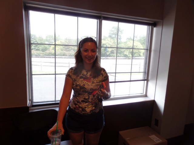
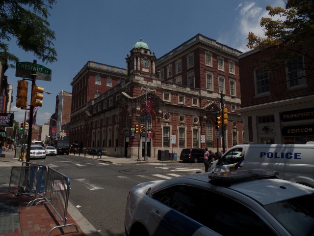
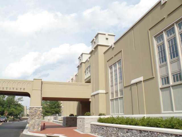
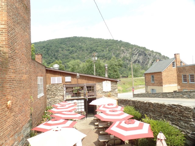
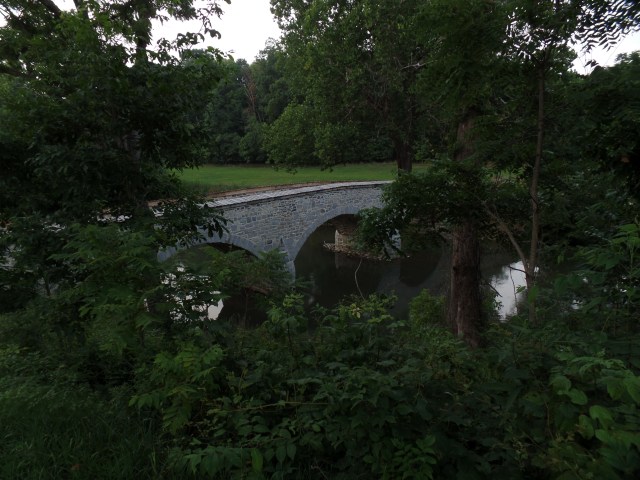
at another coffee shop, across town, near James Madison University (seen below).
J filled me in on her life, of the past two years and, more importantly, of her dreams for the next few. She seemed a bit embarrassed to not have any great achievements to recount, but you know, just seeing her and knowing that she was essentially okay, was more than enough. J, and the other four kids, are people who I just want to see happy, as I do with my son and his lovely girlfriend.
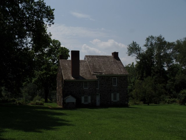
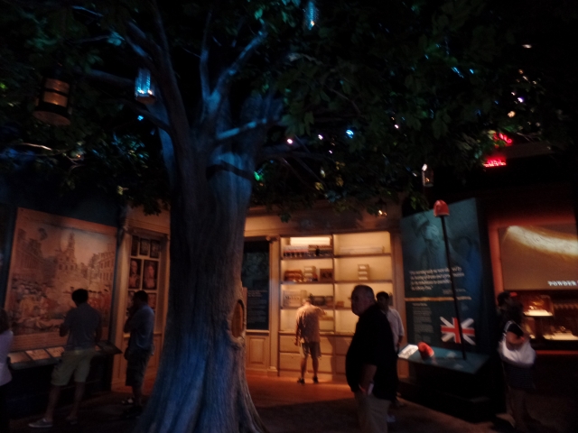
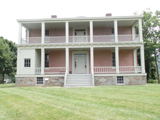
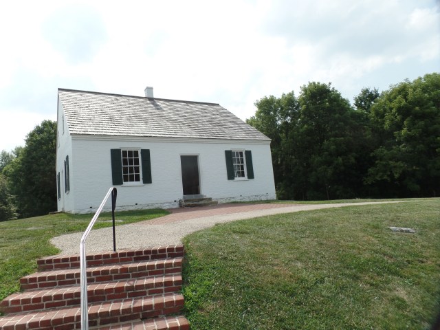
I headed south, on I-81, with Charleston, WV and beyond on my radar screen. Then, I saw a sign for Stonewall Jackson House, as Lexington loomed ahead. I know, “He betrayed our country!”. There are those who beg to differ, so being an admirer of some OTHER aspects of his life, I left the highway and drove past the formidable fastness of Virginia Military Institute, where Stonewall was an instructor, prior to the cataclysm.
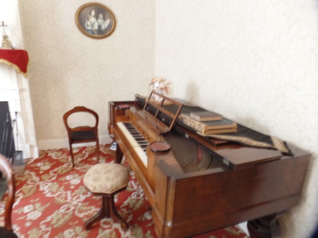
My interest in Thomas Jonathan Jackson, though,was not in his military exploits, but in his creativity and in his foresight. His garden was decidedly Jeffersonian, incorporating many of the ideas put into practice at Monticello, including drip irrigation and organic crop rotation. As you can see, he did make every square inch count for something. The scarecrow was a “falcon”.

Stonewall also, to the consternation of Lexington’s other citizens, believed Black people should be literate, and taught his “house servants” to read the Bible. I would not be surprised to learn that this action of his actually led to his being coerced to join the Confederate Army, whose cause, despite his ferocity in battle, he only tepidly supported. He died at the hands of one of his own sentries, which could very well have not been an accident. Saddest of all, his own sister, an Abolitionist, declared him “dead to her”, upon the secession of Virginia and his being recruited by Robert E. Lee, in 1861.
TJ was a man of culture, and did foresee the end of slavery, war or no war. He believed in the universality of learning, and maintained a progressive home.

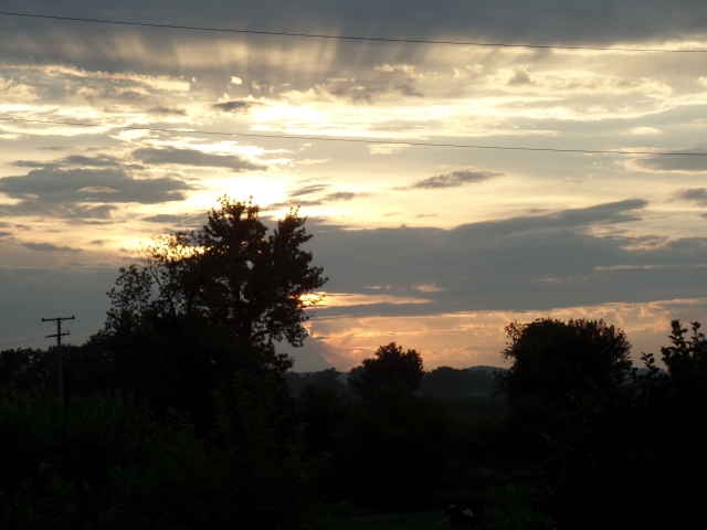
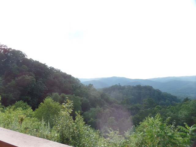
Satisfied that I had confirmed my suspicions about the decent side of Colonel Jackson, I headed west, across the Mountain State. At a rest area, off I-64, east of Beckley, WV, I took a photo of the Blue Ridge, and found what looks like another being, inserting self into the view, gazing northward.
Being far from alone, then, I continued on, into more rain and made it to Olive Hill, KY, before stopping at Spanish Mansion Inn. More about it, and the Ohio River, in my next post.


 Clara
Clara


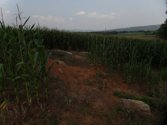
 Miller’s cornfield became known as “The Bloody Cornfield”, for the fighting that ensued there, from three directions. Anyone who has ever been in a corn maze knows how confusing it can get, to navigate a dense field.


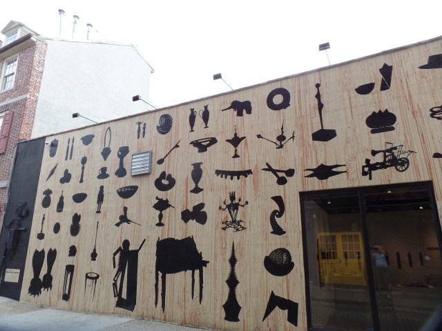
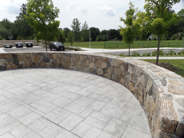
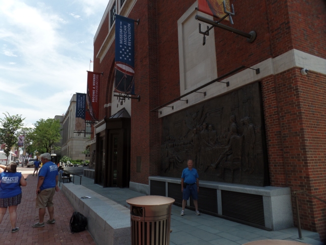
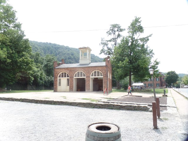
 I spotted an intriguing wall, across the street from the coffee house: