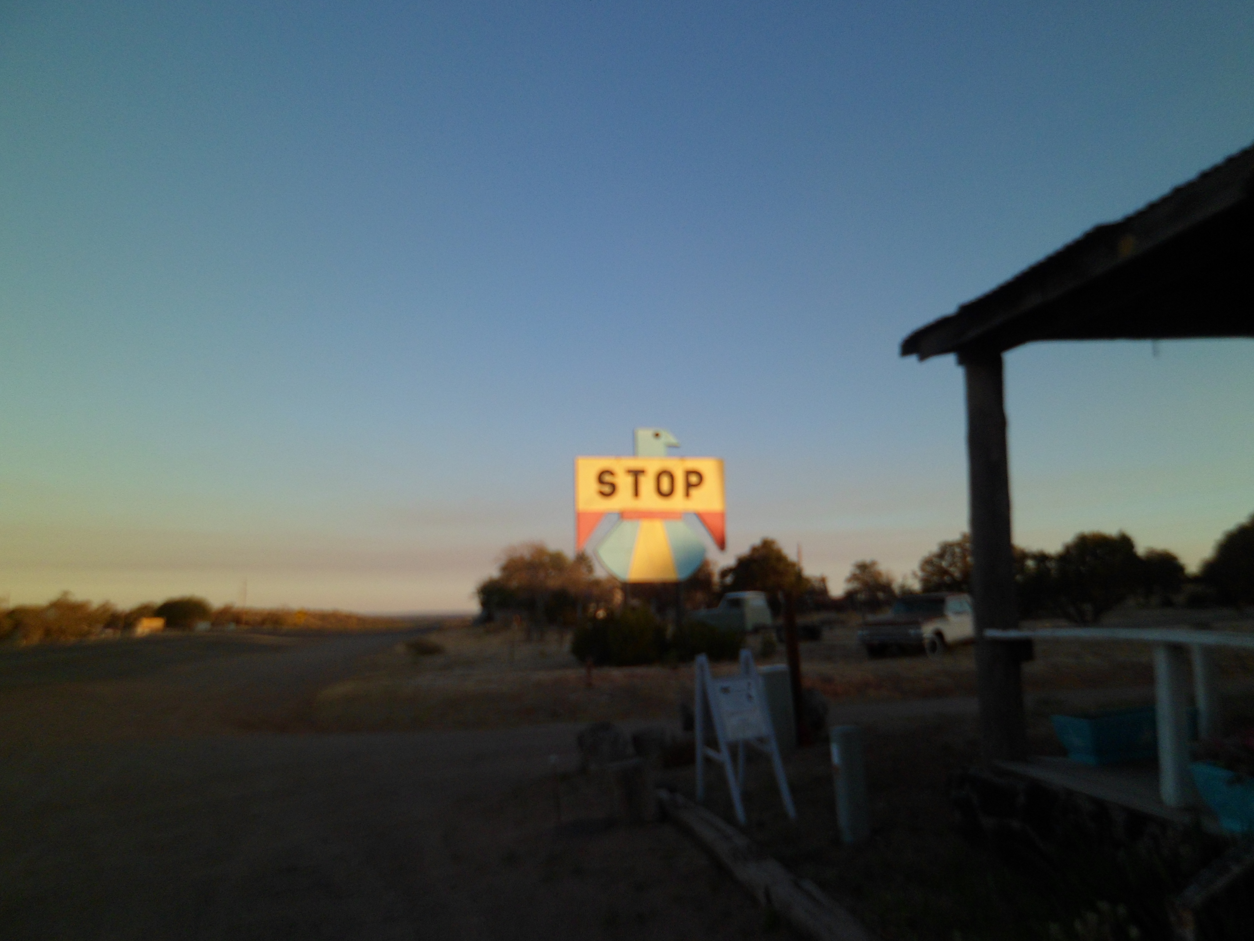
I left home on Monday evening, fully intending to visit friends in Oklahoma and Texas, over the next few weeks. Late Monday night, I got as far as Pie Town, NM, before fatigue ran its course, and I slept under the stars at Jackson Park- a community camping area.


Pie Town actually does have a restaurant, which opens around 9 AM.

It also honors its Native American neighbours- the Navajo and Zuni.

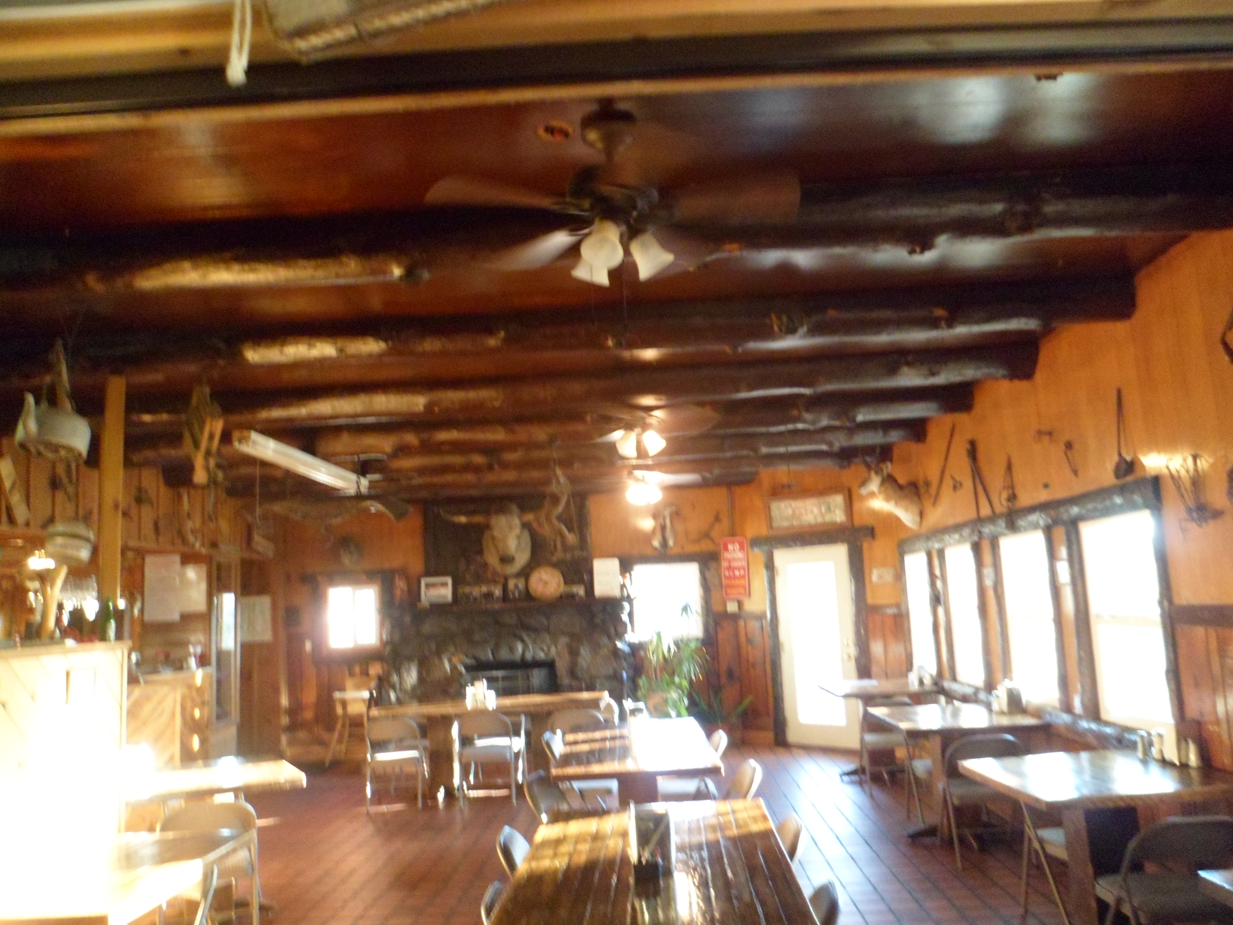
I ended up having breakfast in Datil, several miles further east, at Eagle Guest Ranch Cafe, Penny and I had had dinner there, on our last cross-country journey together 

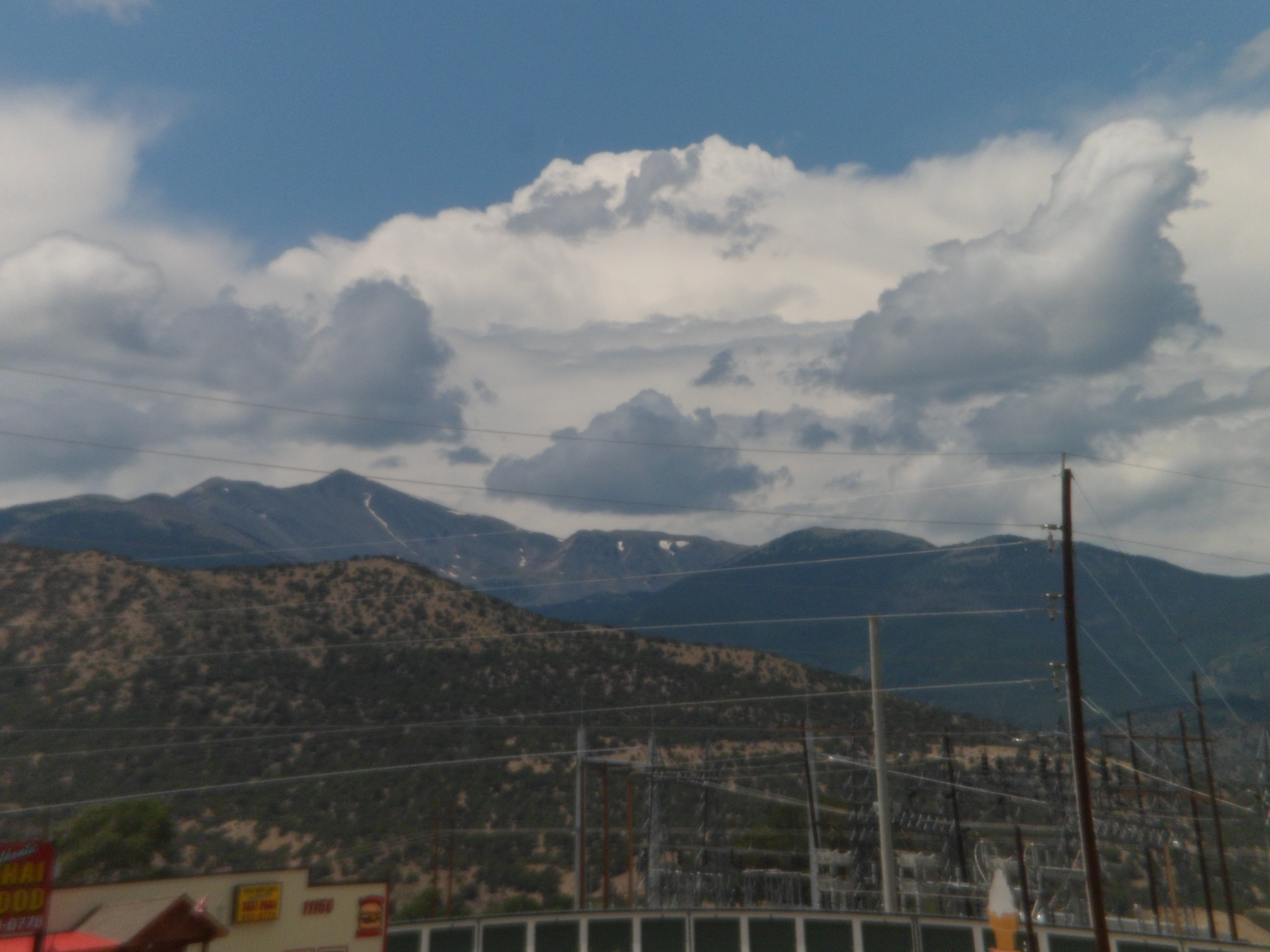
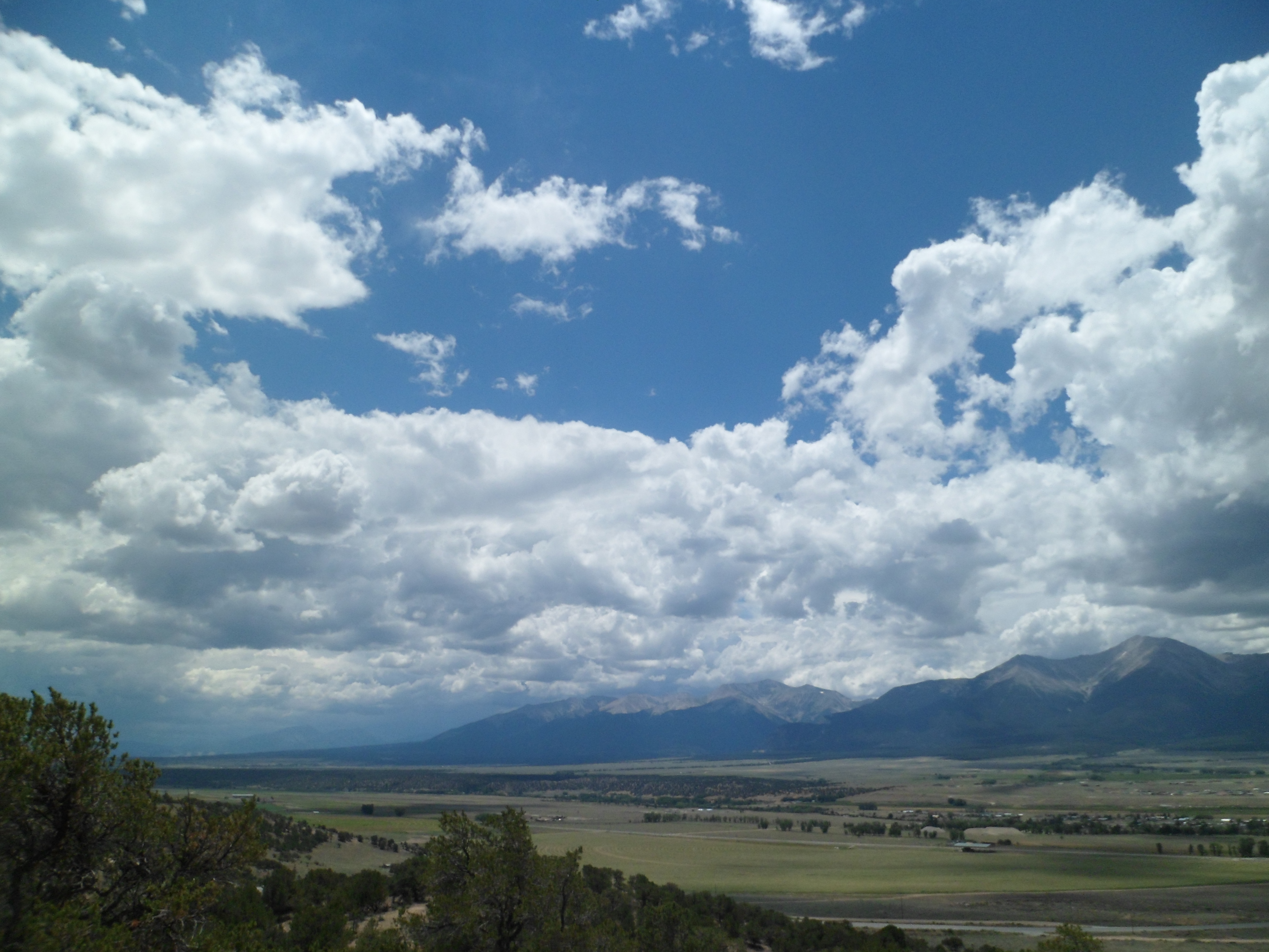
Tuesday was spent driving across New Mexico. I stopped for several minutes in Magdalena, a town suffering from TOTAL lapse in its water supply. There, I said several prayers.

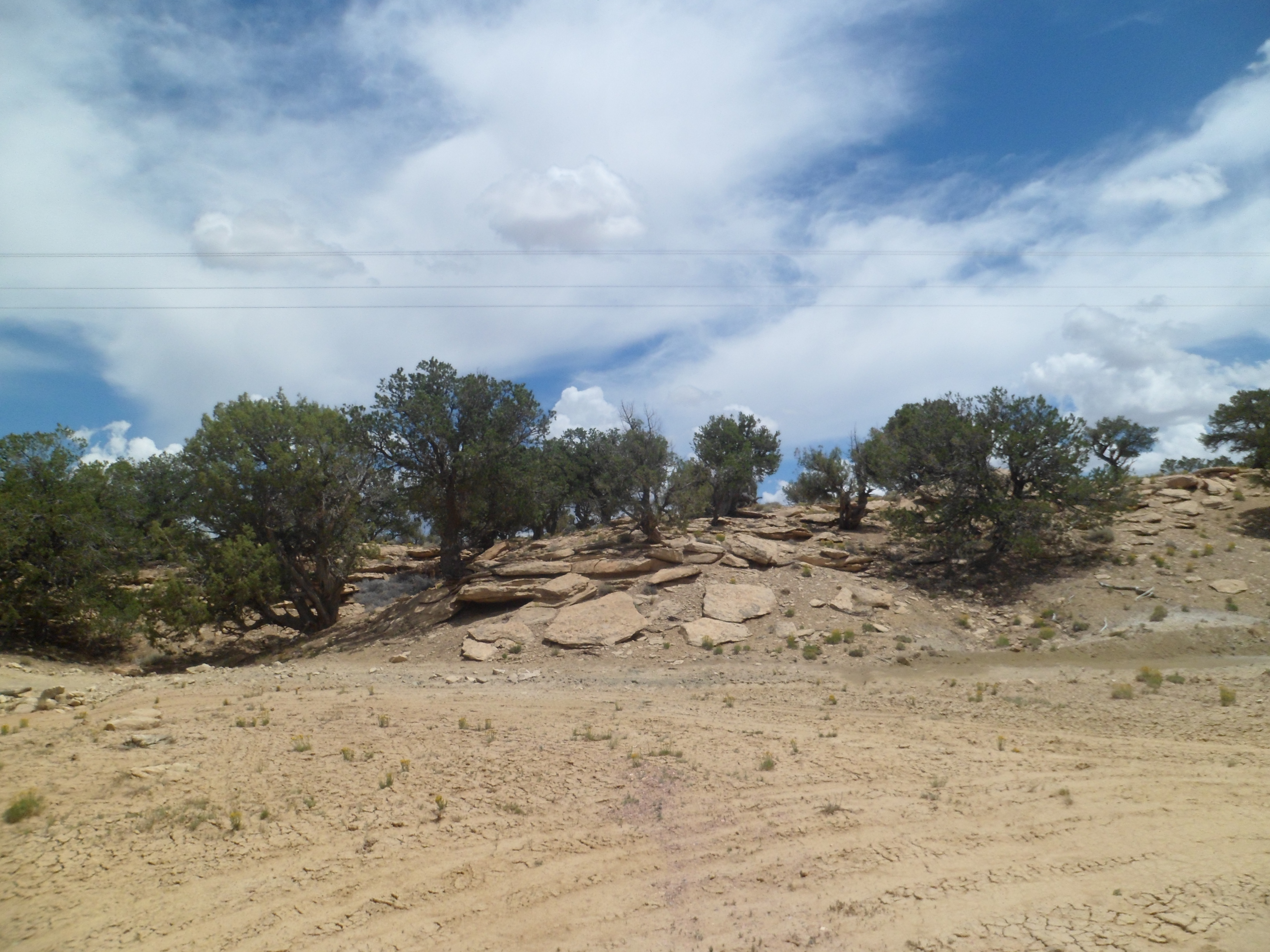
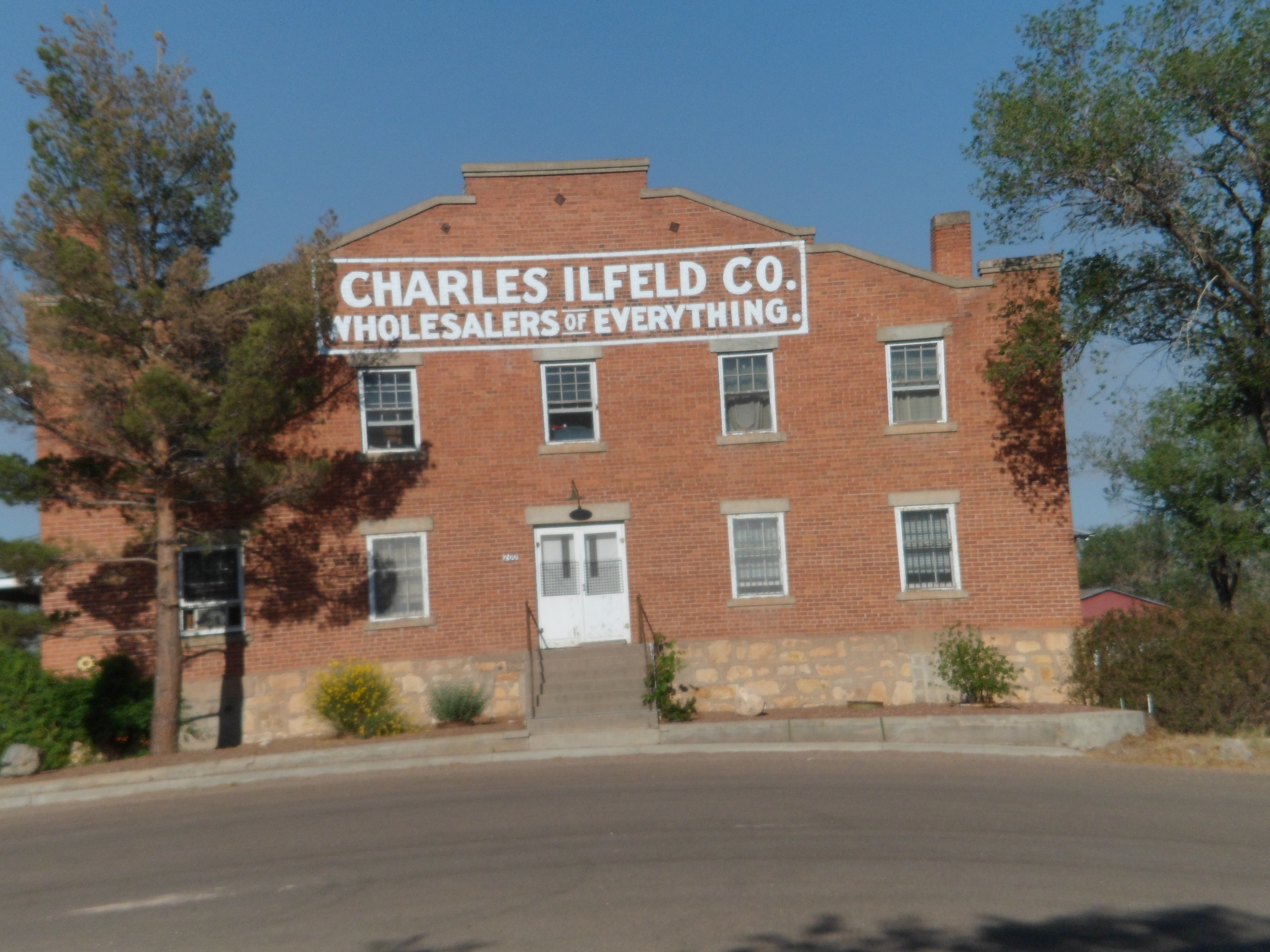
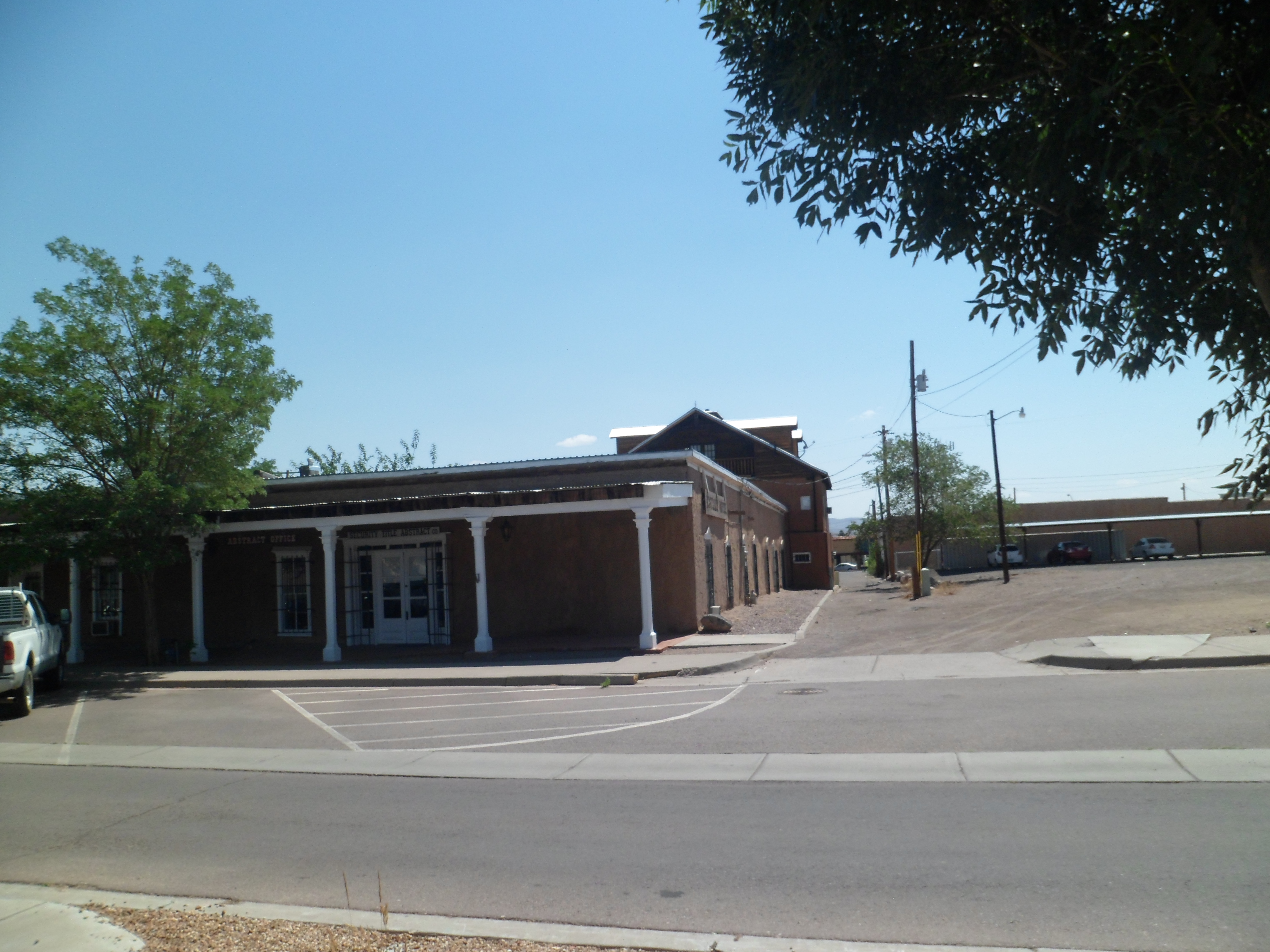
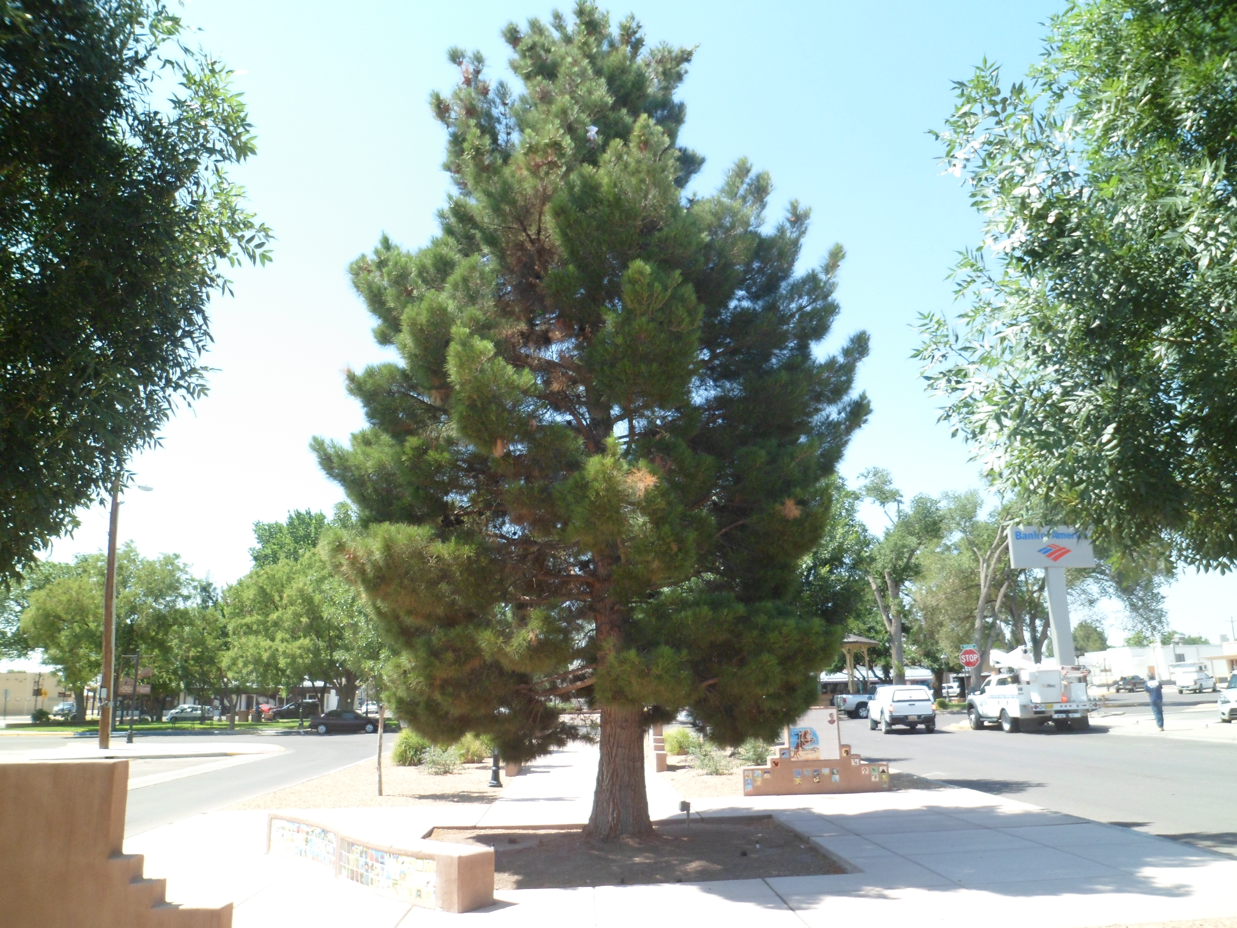
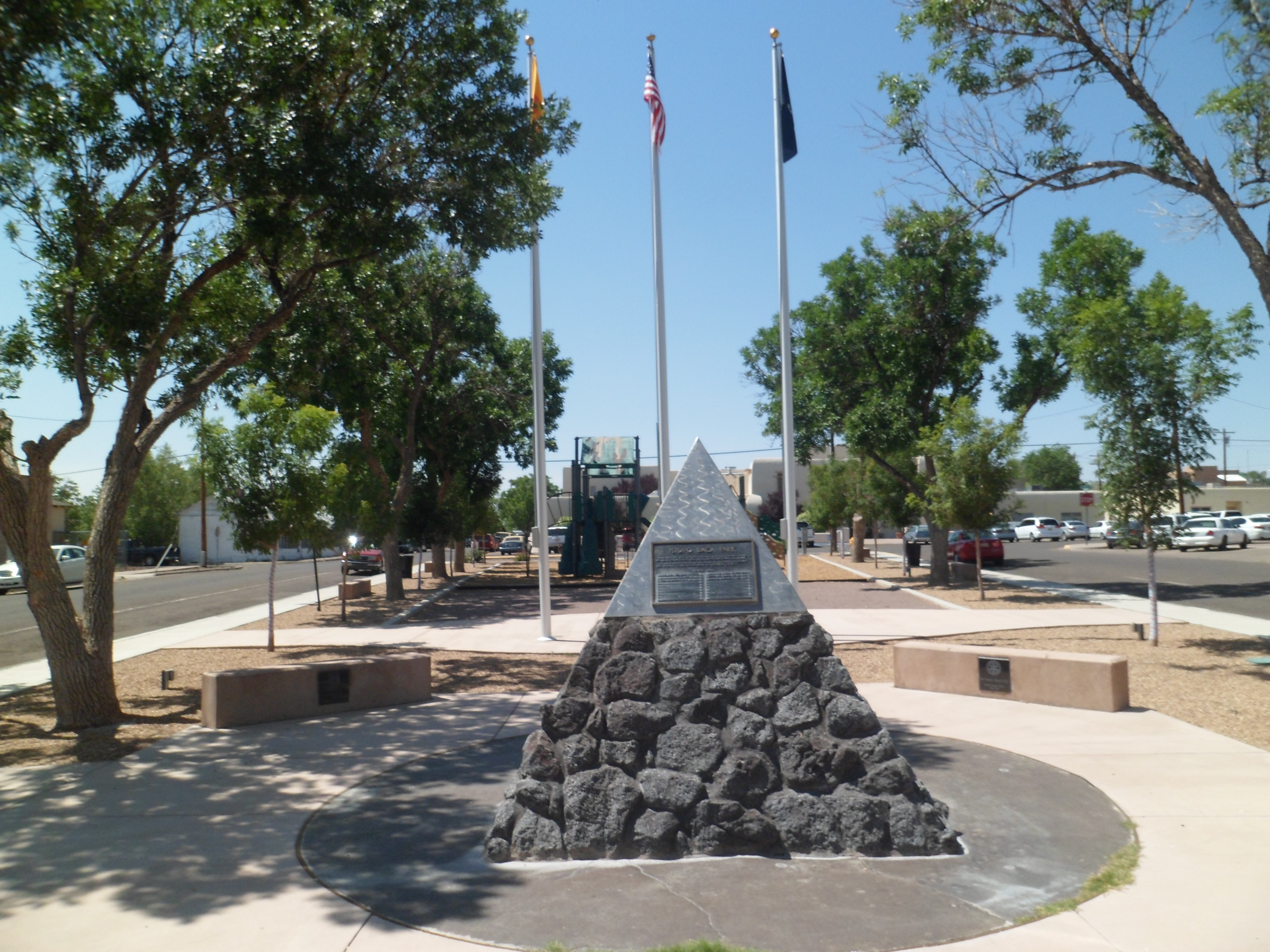
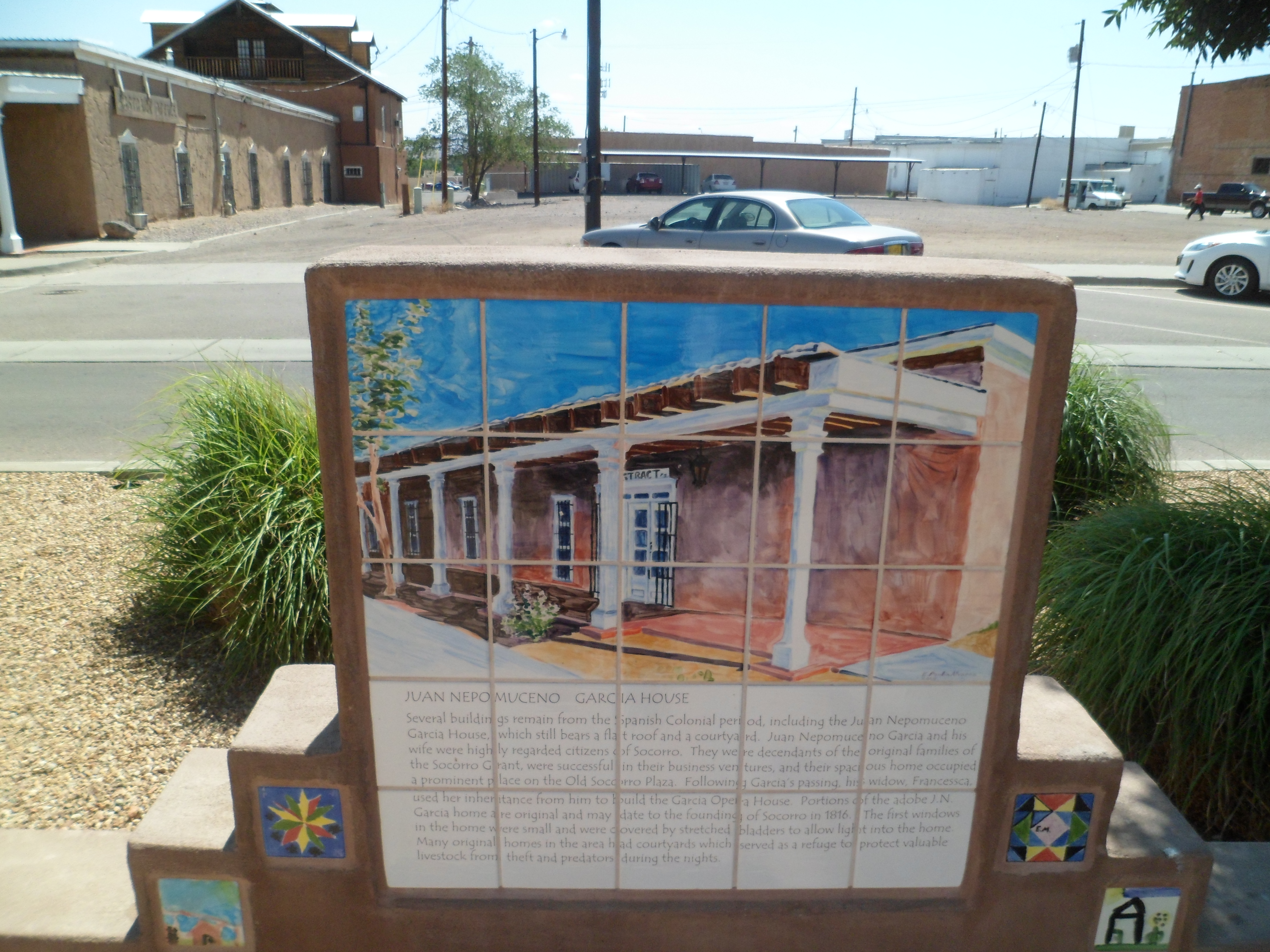
I next took several photos of Socorro’s historic district, and spent time in the library of new Mexico Mining and Technological Institute, before moving along through the middle of LOE. The library is named for the late Congressman, Joseph Skeen, who worked hard to advance Socorro’s educational resources.

Here is San Miguel Catholic Church, at the north end of Socorro’s downtown.

The plaza and several adobe buildings add a pleasant air to the place.


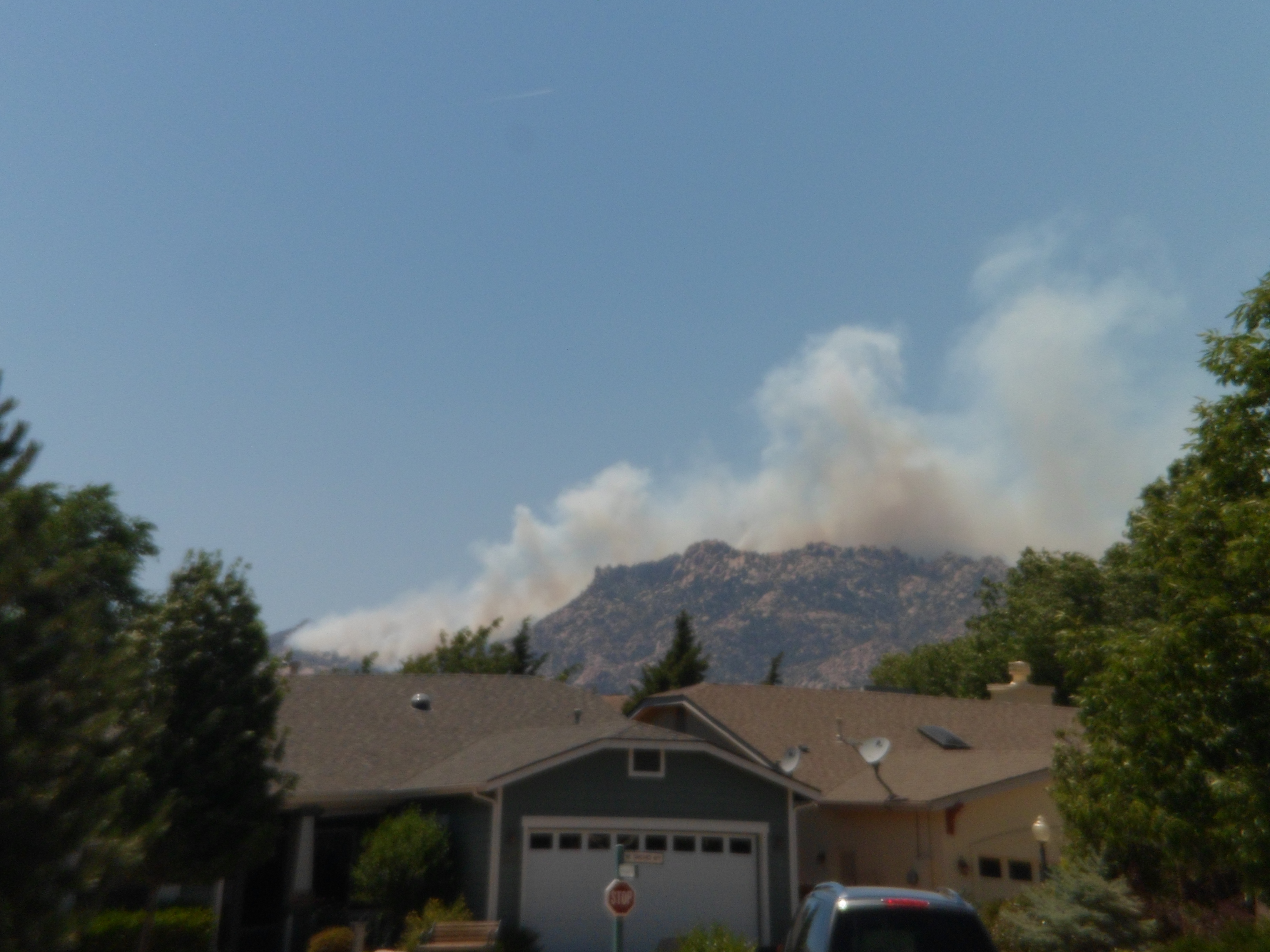
I later passed a closed Fort Sumner National Historic Site, drove up through Texas’ Feedlot Alley and across to Palo Duro Canyon, where I put up my tent. Just before making camp, though, I got a call from Prescott Red Cross. A fire had broken out and a shelter was being opened. I told the team of my whereabouts and promised to keep close watch, via the Internet.
At 3:45 AM, I awoke to the tent crumbling down around me. The rest of the slumber fest was spent in my car, and I organized the mess in the light of day. Nothing is broken or ripped, so it will be just put up more sturdily, next time. The skies over Palo Duro looked a bit threatening, so I focused on checking the Web for news of the fire. Needless to say, I did not hike to the Lighthouse yesterday.


In my head, I could hear the slightly annoyed voice of a treasured new friend from one of the organizations with which I volunteer: “It’s YOUR community that’s in trouble! Are you sure you want to keep on your merry way?” I knew the answer to that- even without her prompting: I was determined to head back, and after breakfast at Blue Corner Cafe, my standard stop in Amarillo, I did just that. After driving for eleven hours, I was back in my house. Today, I went in and helped at the Red Cross shelter, and will later go and visit some other friends in Chino Valley, which is the area most affected by the smoke.


I am just ready, for whatever and whoever, comes into my life, full-on and all-in.