Tales from the 2016 Road: The Long Walk of 1864

4
SAMSUNG CAMERA PICTURES

Entrance to Fort Sumner National Monument,NM

July 1, 2016, Fort Sumner, NM-  There are several places in the United States, that every citizen should see, if for no other reason than to know that unity is a delicate thing.  Fort Sumner, a place of captivity for thousands of people, in the 1860’s, is such a place.

I have known, and  worked with, Navajo (Dineh) and Hopi people, for several years.  The Dineh, along with the Mescalero Apache (Indeh) people, were forcibly removed from their ancestral lands, in 1864, by one of the most unfortunate edicts of President Lincoln, who had a blind spot, where Native Americans were concerned.  He never stopped being an Indian fighter.

The people endured the harsh life of captives, very similar to what the Japanese internees endured in the camps of World War II.  The difference was that the Dineh and Indeh people built the camps, including the quarters of their overseers.  Many died of disease and starvation, in this squalid place.

The people were released in 1868, on orders from President Andrew Johnson, who had no real axe to grind with the Navajos or Apaches.  They walked homeward, and the Navajo wept, when they spotted one of their sacred mountains, Mount Taylor, east of Albuquerque.

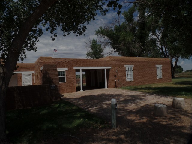
Here are some of the sights that presented themselves to me, during my visit here, this morning.  The first shows the pyramid-like structure that houses the museum displays and theater, that tells the story of the Long Walk.  The ranger initially interpreted my foregoing the film, as a sign of disinterest in the actual events.  A conversation, afterward, corrected that misconstruance.

SAMSUNG CAMERA PICTURES

Monument Headquarters, Fort Sumner, NM

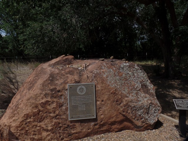
The second photo shows the area, as it might have appeared when the captives first arrived in Bosque Redondo, as the woods were called back then. The Commemoration Stone, first brought here by Navajo Nation President Peterson Zah, in 1994.

SAMSUNG CAMERA PICTURES

Nature Trail, Fort Sumner, NM

SAMSUNG CAMERA PICTURES

Commemoration Stone, Fort Sumner, AZ

The descendants of both Navajo and Mescalero Apache internees, and many others from various tribes, bring items of dedication to this memorial site.

SAMSUNG CAMERA PICTURES

Memorial Site, Fort Sumner, NM

SAMSUNG CAMERA PICTURES

Barracks for US Army troops, Fort Sumner National  Monument, NM

The above is an example of the structures which captives were forced to build, for the housing of their overseers.

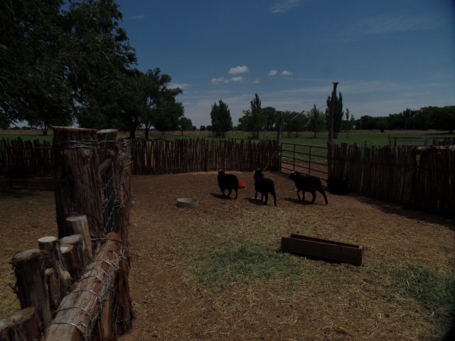
Below is a flock of Churro Sheep, raised by Navajos and now viewed as an heirloom breed, for the quality of their wool and meat.
SAMSUNG CAMERA PICTURES

Churro Sheep, Fort Sumner National Monument, NM

This visit, which I had planned for quite some time, was a sobering reminder of just how far we have come, and a caution of how far we can fall backwards, in our inter-human connections. Like Manzanar, and Berga, Germany, it is a place that the smug and self-assured would do well to see, as a wake-up call.

NEXT UP:  Return to Amarillo’s Happy Southwest 6th Street.

Heat and Quotidia

11

June 26, 2016, Prescott-  I am back at Home Base, for four days or so, having served others, at a shelter in eastern Arizona and my spirit, at a Baha’i retreat, outside Flagstaff.  There is enough heat to go around, across the continent, from the sound of things.  It’s toasty here, but my ceiling fan, windows cracked open and plenty of cold water will see me through.

The week ahead will find me finishing the facilitation of a spiritual study group, joining a group of children on an outing to an animal rescue shelter, tending to a couple of quotidian comfort items (returning a sound system that isn’t working with my laptop and getting the zipper to the bottom of my tent’s door put back on track.) and being useful around here, wherever I can.

Come Thursday evening, I will be off again- this time focusing on family and friends, scattered as we are across the Midwest, Northeast and South.  The “Garython”, if you will, is likely to be something of a sequel to the journey I took in 2011.  That one was a reaction to my grief.  This one is more of an in-gathering.  Cousins, with whom I haven’t been in touch for several years, are reconnecting.  Friends along the way will also be a priority.  My mother and  two siblings will be at one end of the route, and also a priority, given that the end of this year will find me largely focused on my son and his  impending change of scene.  Southern brother, and Penny’s family, will be at the lower end, as will a few other special souls.  Then, a zip across the nation, to Colorado, and an Essential Oils conference, will end the whole shebang.

I read about fire and water, on opposite ends of the country, continuing to give grief to so many people.  A fellow attendee, at the retreat I joined this weekend, is of the opinion that Earth will undergo severe climate and geological events for the next 30,000 years.  If that’s the case, we’ll all spend much of our spirit lives responding to the urgent pleas of those who are here.  Somehow, I don’t think it’ll be THAT long of a torment, but we surely have to deal with what is going on now.

Speaking of which, a black bear made its way to town today.  It was spotted outside the Planet Fitness that I frequent.  I haven’t left the house, since I got back from Bellemont, and will just have to keep tabs on the matter, tomorrow.

Who Am I?

15

June 22, 2016, Springerville, AZ- My father passed away, thirty years ago, today.  Then, as now, I made a long journey.  Then, as now, it took a few phone calls to get the details right.  I arrived at my destination after six hours of travel.  I was comforted by the very people I came to comfort.  He was given a dignified send-off, and from the spirit realm, he still looks after me, in a stern, but loving manner.

Who, exactly, did Dad leave behind?  I was not the easiest of sons to raise, but there was a lot about autism that was not known, that was misunderstood.  There still is, in the perceptions of many people.  There is, however, nothing about who I am that limits me.  I have raised a fine young man, and am gladly here to answer his questions about the time of life that is young adulthood.  I am here to encourage his success, to boost him over the bar.

I am also here to reach out to as many people as possible.  July will be yet another month on the road.  This time, though, it will be focused on family members, some close and some long-lost.  It will be focused, as well, on friends- some in pain, some offering joy.  I will be keeping an eye on things in Arizona, though there are still those nagging critics who take umbrage at my having missed this meeting, or not being available for that event during the coming four weeks.

I am not easy to define.  Mostly, my living consists of proferring love on those around me. It’s the most basic thing in the world, and in the Universe, for that matter. There will always be those who try to obfuscate and throw me off course. There will always be those who hear the word “widower” and think, “troll”- as is the case with one of my co-workers here at the fire shelter.  No matter:  I am here to do a service, and I will continue, whether this person likes it or not.  I am very open about my wife’s having passed on.  The other part is that I am open about being comfortable with how my life is now.  This life is full of bonds, and true friendships.  The false of purpose, and the fearful, need not worry about my presence.

Another thing that colours my life:  Commitment to the generations coming up behind me; not just my son and young relatives, but the well-being of all.  A case in point:  When I stopped for dinner at one of my “A-List” California restaurants, en route back to Prescott, I was struck by the humidity inside the place, and concerned for two young ladies, who were dressed in Victorian attire, in their roles as servers, and who were about to crumple from the stifling air.  The manager, herself about to keel over, had them go into a small staff room, which was more comfortable.  We need to pay close attention to those who work hard on our behalf.  Fortunately, all three ladies recovered nicely.

This is my 1,000th Word Press post.  To leave you with more of a sense of who I am, here are a few scenes from my coastal visit on Monday.  First, here are two scenes of Cardiff State Beach, west of Encinitas.

SAMSUNG CAMERA PICTURES

Not your typical June Gloom, but a bit of mist was there, on San Elijo Beach.

SAMSUNG CAMERA PICTURES

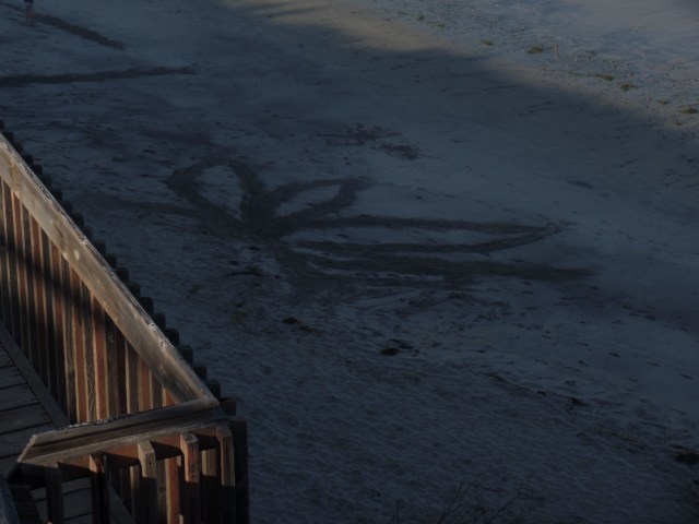
Beach artistry is alive and well.

Up the coast, at Dana Point, I enjoyed a lengthy lunchtime conversation, with a longtime friend, at another of my California “A-list” establishments.

SAMSUNG CAMERA PICTURES

Harpoon Henry’s is at the south end of Dana Point Harbor.

Who am I, really?  I’m just a human being who treasures those in his life, who is glad for the form in which I find myself, who does not have a need to judge the paths and courses of life taken by others, insofar as they do not harm those around them and who looks forward to whatever tale each day has to present.

Post 1,001 will look at an estuary- the mixing of fresh and salt water, and why brackishness is a good thing.


Father’s Day Weekend

13

June 18-19, 2016, Chula Vista-

Saturday and Sunday were among the best, most bonding days I’ve had with Aram, in a good long while, which is saying something, because we are tight, for two who live such separate lives, in neighbouring states.

It comes down to parenting never being a work of completion.  I bounced things off my Dad, every so often, until he was no longer physically here to approach, for that purpose.  He still makes his views known, though, and I am finally at the point where I sense he is happy with my choices.  I can say the same about my pride in my son.  He has established himself as a valued presence, though his current position is not his life’s work.

Saturday was a day for errands, so we went to the recycling station, which is actually not  from his place, contrary to what their website says. We also found a Michael’s, for some frames he needed.  I was pleased to have found one that fit an off-sized print he had.  Filippi’s, one of my A-List restaurants in San Diego, has a branch in Chula Vista, so we hopped on over there for a sandwich lunch.

Sunday was a scorcher, all over the continent it seems.  I got reports from friends in Ontario, in Florida and in the Midwest, of horrible temps.  We nonetheless enjoyed a forty-five minute revisit to Japanese-American Friendship Garden, in Balboa Park, with a concert featuring the world’s largest carillon pipe organ, in the background.

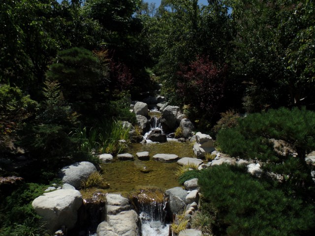
Given the heat which most people reading this endured yesterday, I present you with various scenes of running water.

SAMSUNG CAMERA PICTURES

SAMSUNG CAMERA PICTURES

The bonsai exhibit is an exception, but it endures with minimal watering.

SAMSUNG CAMERA PICTURES

Aram’s birth sign is water.  H2O has always been his friend.

SAMSUNG CAMERA PICTURES

Here’s a nice view of the Lower Garden pond, which opened in July, 2015.

SAMSUNG CAMERA PICTURES

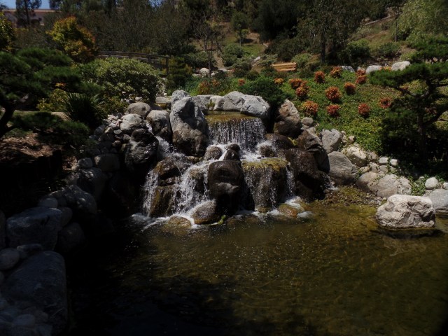
The water filters along rocks, carefully placed along the downslope.

SAMSUNG CAMERA PICTURES

This mallard was more than glad to stand in pose.

SAMSUNG CAMERA PICTURES

Close your eyes, and imagine Old Japan.

SAMSUNG CAMERA PICTURES

Rocks and flowing water are staples of the Japanese garden.

SAMSUNG CAMERA PICTURES

Small cascades invite one to splash about; though that would be bad form.

SAMSUNG CAMERA PICTURES

Lilies are more common here, than they were a few years ago.

SAMSUNG CAMERA PICTURES

Just how deep are these rocks?

We were suitably inspired by the water scenes, to head straight for the Jamba Juice, in a Chula Vista shopping mall, near the harbour.  Copious amounts of refreshing liquid are always welcome to both our palates.

Dinner was, of course, a buffet- at Zorba’s Cafe, with all my favourite Greek dishes.  This time, though, we both “made do” with about half the offerings.  Less can definitely be more.

I will go philosophical in my next post, which is the 1,000th of this website.  Scenes of the Cardiff-by-the-Sea beachfront, and of San Elijo Preserve’s western lagoon, will help in this effort.  Stay tuned.

Yuma Is for The Warm of Heart

6

June 17, 2016, Yuma- This citrus capital of the West has become my go-to pit stop, en route to San Diego and Chula Vista, as I-8 is a less perplexing route to my son’s street, than CA 15 was.

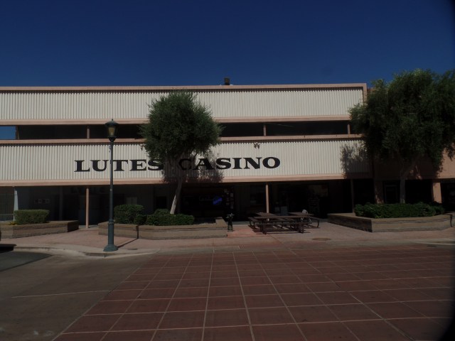
Yuma has been known to hit 120 during this hottest of desert summer months.  That puts it in the same league as Phoenix and Palm Springs.  Nonetheless, a brief stop here is a pleasure.  There are enough diverse attractions in the area to keep my camera and I busy, over the next two drives out to see my pride and joy.  Besides the Algodones Dunes and the Colorado River Wetlands Trail, which I visited the last time I was here, there are the Territorial Prison, Martinez Lake, Santillan House and the area that occupied me this afternoon:  Historic Downtown.  It’s a small area, but Main Street, even in the 102 degree heat, is worth weaving in and out of the air-conditioned buildings.  There is much to be said for a town with two theaters within a two-block radius of one another.  Then, there is Lutes Casino,  a family-friendly restaurant-bric-a-brac palace that offers a full range of old-fashioned fountain treats, as well as diner food and a full bar.

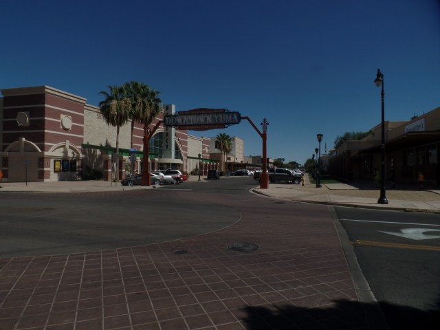
So, here’s a look at Main Street, Yuma:

SAMSUNG CAMERA PICTURES

Downtown’s West Entrance

SAMSUNG CAMERA PICTURES

Hotel San Carlos is downtown Yuma’s largest.

SAMSUNG CAMERA PICTURES

This is the larger of two cinemas on Main Street.
SAMSUNG CAMERA PICTURES

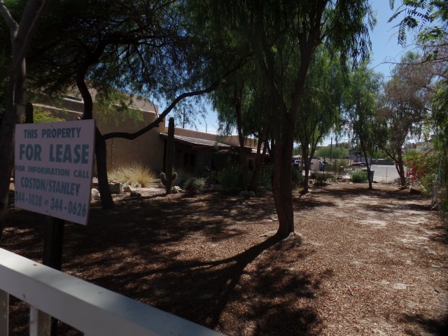
The desert CAN be pretty in summer.  This lot is up for lease.

SAMSUNG CAMERA PICTURES

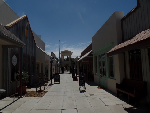
This courtyard had one drawback.  The ice cream shop is closed until next Monday.

SAMSUNG CAMERA PICTURES

A few fountains grace Main Street.  This is the largest.
SAMSUNG CAMERA PICTURES

Inside Lutes casino:  I enjoyed a praline pecan malted milk.

SAMSUNG CAMERA PICTURES

The establishment is far more interesting than it looks.

For those heading in earnest, between Phoenix and San Diego, Yuma has done a fine job of offering a safe haven-even in the sizzling summer.

Stairstepping In Kodachrome Land, Part 3: A Zip Through The Cedars

8

June 3, 2016, Chinle, AZ- After leaving Nevada behind, I decided that the drive through the expanse of heaven that is southern Utah would have to be somewhat less than just.  I have the Golden Circle on my radar screen for a full month of exploration- but not until next summer, at the very earliest, and maybe not until 2020.  The pines, cedars and unparalleled canyons of southern Utah are treasures to be taken one inch at a time.

One caveat I share with most other drivers is:  Don’t make a nuisance of yourself, by constantly and abruptly pulling to the side of the narrow road, to get that great photo.  So, the scenes presented herein are few in number- focusing on two places:  Navajo Lake/Duck Creek and Orderville Canyon.  These two very different environments give a snippet of the variety in a relatively small area of Kane County.

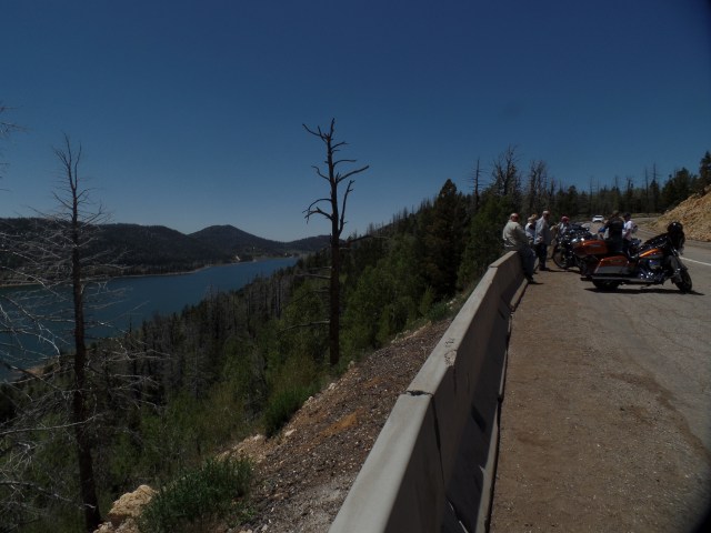
I spent a few minutes in the commercial hub of Cedar City, just refueling and resting my Nissan.  The traffic was already gearing up for a crowded weekend, hereabouts, so on up through Kolob Canyon it was.  Navajo Lake lies in the rim country, above Zion National Park.  There were about a dozen people at the overlook, so we took turns with photographs.

SAMSUNG CAMERA PICTURES

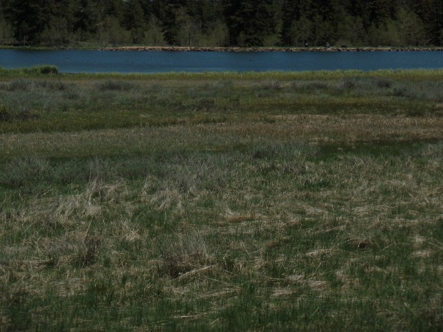
Navajo Lake, Dixie National Forest, Utah

SAMSUNG CAMERA PICTURES

Navajo Lake, Dixie National Forest, Utah

SAMSUNG CAMERA PICTURES

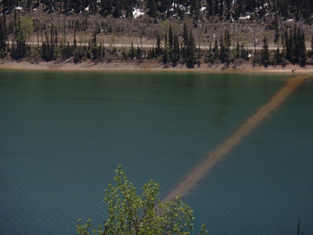
Dike  across Navajo Lake, Dixie National Forest, Utah

The dike was built by members of the Civilian Conservation Corps, during the New Deal, to maintain constant water flow.

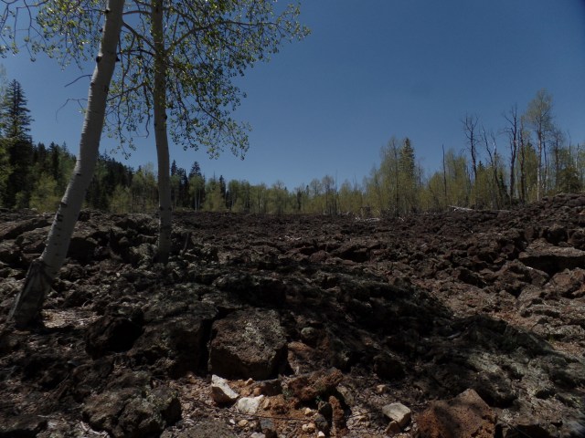
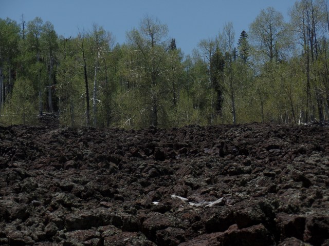
Navajo Lake, and nearby Duck Creek, were created by lava flow, which altered the course of the Virgin River, which created Zion Canyon.  Below, are some scenes of the lava beds, around Duck Creek Visitor Center.

SAMSUNG CAMERA PICTURES

Lava bed at Duck Creek Visitor Center, Dixie National Forest, Utah

SAMSUNG CAMERA PICTURES

Lava bed, Duck Creek Visitor Center, Dixie National Forest, Utah

SAMSUNG CAMERA PICTURES

Duck Creek, Dixie National Forest, Utah

SAMSUNG CAMERA PICTURES

Duck Creek, Dixie National Forest, Utah

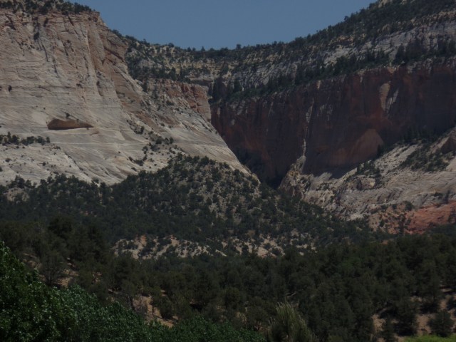
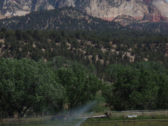
Orderville is one of the small farming towns that are a delight to visit, in the midst of southern Utah’s canyon country.  It is also a jumping off point for those headed east, towards Capitol Reef and Canyonlands National Park.  Orderville has a gorgeous canyon of its own, though, and can easily enchant the visitor for 2-3 days.

SAMSUNG CAMERA PICTURES

Orderville Canyon, Utah

SAMSUNG CAMERA PICTURES

Orderville Canyon, Utah

With the day growing short, I headed on east and south, through Page, AZ, on the southern shore of Lake Powell, across the Navajo Nation, to Kayenta and Chinle.  At Tsegi, just west of Kayenta, I cam across a couple whose vehicle and trailer had overturned.  The Indian Health Service worker who had stopped to help was having a hard time getting through to emergency services.  I was able to call and get help en route.  Good thing that neither person,nor their two dogs, were injured.  Past Kayenta, a brush fire had broken out, south of Chilchinbeto, where I once worked. Once again, 911 was dialed from my phone, and a fire truck was dispatched.

That was the end of the day’s excitement.  I enjoyed a relaxing meal at Junction Restaurant, in Chinle, before heading down to Native American Baha’i Institute, another 1 1/2 hours further southeast.  It is time to change gears, and focus on spirituality for a day or so.

Stairstepping in Kodachrome Land, Part 2: Cathedral Gorge and Panaca’s Box Butte

0

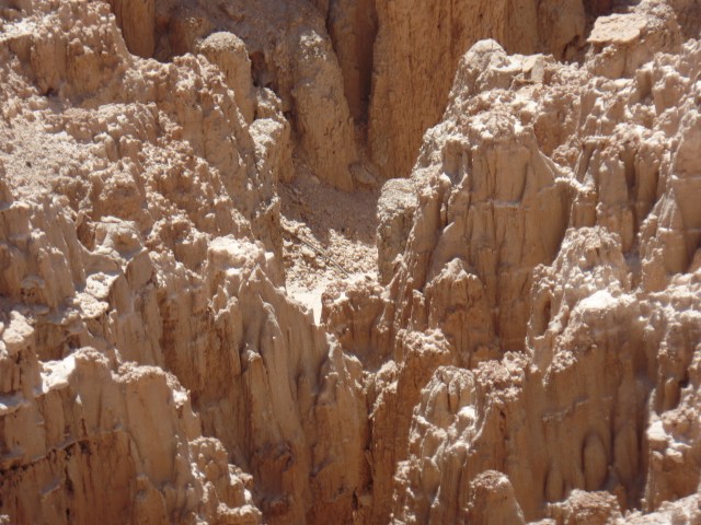
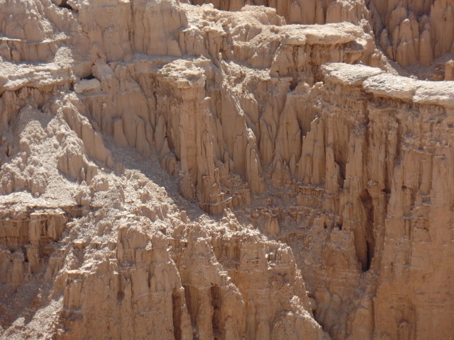
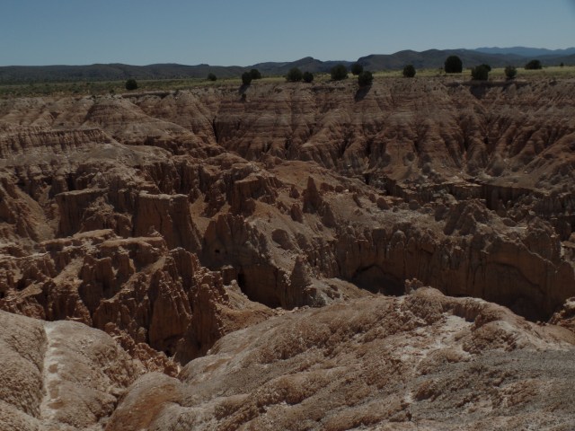
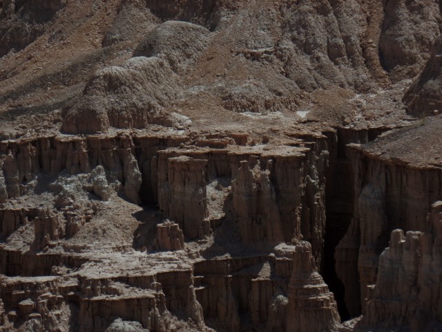
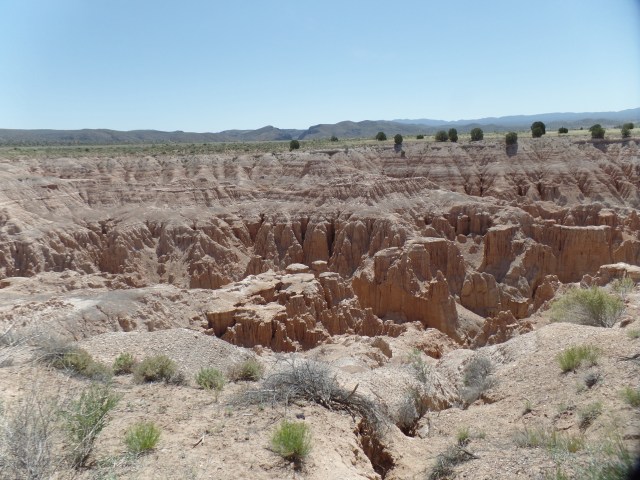
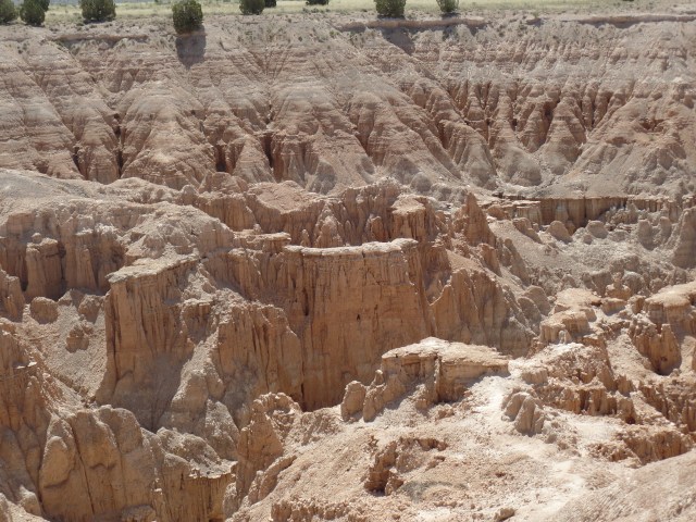
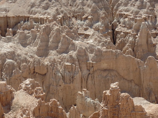
June 3, 2016, Panaca, NV- Kodachrome turned into monochrome, once I left Pioche.  No matter, though; Miller Point overlook, on the north side of Cathedral Gorge, has views that elicit thoughts of how the Grand Canyon must have looked, back in the Triassic Era.

SAMSUNG CAMERA PICTURES

Cathedral Gorge, from Miller Point

The Edwards Brothers, Nephi and Elbert, discovered Cathedral Gorge in 1911, making it a playground for their family. They built a series of ladders and explored several caves here.  The Edwards family pushed to have the State of Nevada safeguard the gorge, and in 1935, it became a state park.

Here are several more views from Miller Point, and along the first section of trail, below the Point.

SAMSUNG CAMERA PICTURES

Cathedral Gorge, from Miller Point

SAMSUNG CAMERA PICTURES

Cathedral Gorge, from Miller Point

SAMSUNG CAMERA PICTURES

Cathedral Gorge, from Miller Point

SAMSUNG CAMERA PICTURES

Cathedral Gorge, along Miller Point Trail

SAMSUNG CAMERA PICTURES

Cathedral Gorge, along Miller Point Trail

SAMSUNG CAMERA PICTURES

Cathedral Gorge, along Miller Point Trail

SAMSUNG CAMERA PICTURES

View of Juniper Draw Loop, from Miller Point Trail

SAMSUNG CAMERA PICTURES

Eagle Point, from Miller Point Trail

It’s a reasonable assumption that I will be back here, relatively soon, for a full exploration of Cathedral Gorge on my own.  The heat precludes doing so in summer, so maybe next Spring.

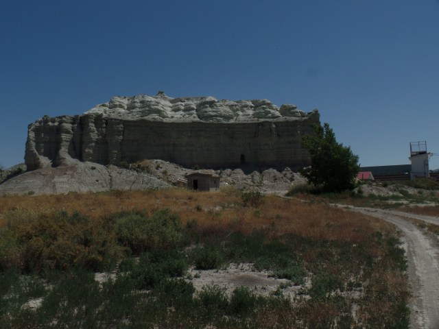
Panaca, a short distance down the road, is a rather utilitarian community, with modern buildings that distinguish it from Pioche- as does the sere Great Basin landscape. It is a friendly town, and when my attention was drawn to the sizable butte, just beyond the fence of Lincoln County High School, two girls playing in a nearby yard called to their father, who came outside, saw where I was heading, and shook his head, in a good-natured way.  Not many visitors, apparently, are interested in this formation- which goes by the simple name of Box Butte.

SAMSUNG CAMERA PICTURES

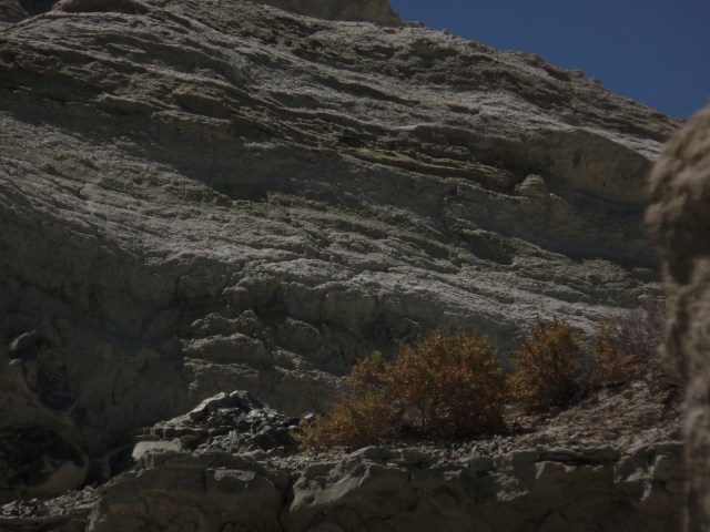
Box Butte, Panaca, NV

SAMSUNG CAMERA PICTURES

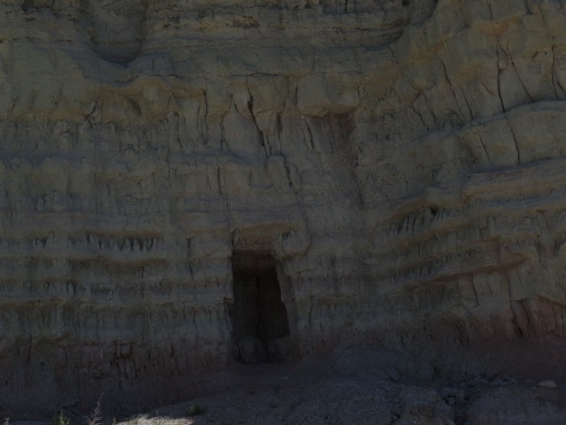
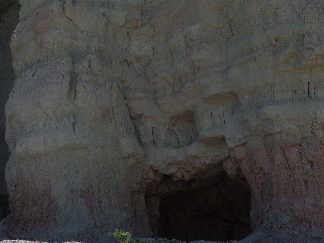
Small cave, Box Butte, Panaca, NV

SAMSUNG CAMERA PICTURES

Small cave, Box Butte, Panaca, NV

SAMSUNG CAMERA PICTURES

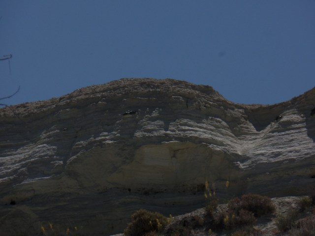
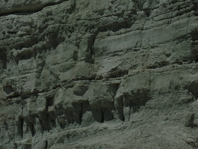
West side of Box Butte, Panaca, NV

SAMSUNG CAMERA PICTURES

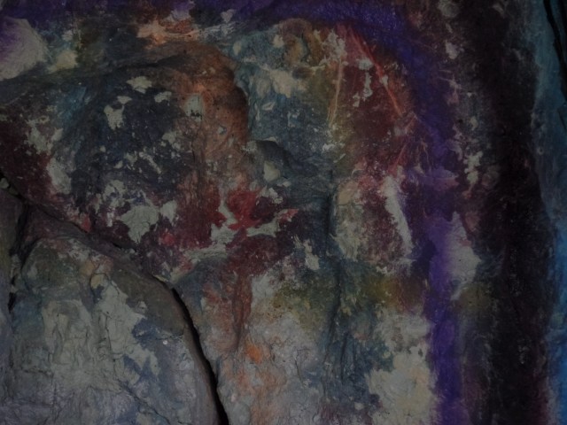
Free-form mural, inside cave, Box Butte, Panaca, NV

SAMSUNG CAMERA PICTURES

East side, Box Butte, Panaca, NV

SAMSUNG CAMERA PICTURES

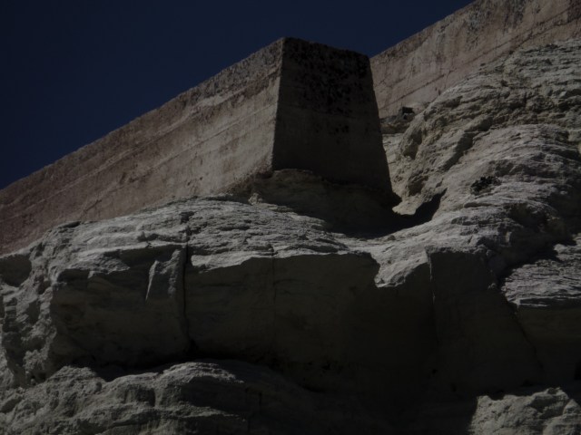
Crane-lifted slabs, top of Box Butte, Panaca, NV

SAMSUNG CAMERA PICTURES

East side, Box Butte, Panaca, NV

As I drove off, I heard the girls call- “Daddy, he’s leaving now.”  It is unusual to be of note, but something tells me I’d be welcome back, if only to take further examination of this local play place.

I didn’t spend a whole lot of time stopping and photographing the innumerable wonders of southern Utah- if for no other reason than I had a destination, in the Native American Baha’i Institute, some 380 miles further southeast.

NEXT UP:  Navajo Lake and Orderville Canyon, Utah


Stair-stepping, In Kodachrome Land, Part 1: Pioche

6

June 3, 2016, Pioche, NV- It was not a hard choice, as to where to stop for the night, yesterday.  Little Pioche, just west of the Utah state line, is a budding Virginia City or Bisbee.  It has all the charm of the better known mining towns, so my stay at Motherlode Motel was a no-brainer.  I came this way in 1980, on the way back to Flagstaff, from Oregon.

The drive involves what I call stair-stepping:  U.S. 93 goes on to Panaca, just east of Pioche; then there is a drive on two contiguous state highways, to Cedar City; this is followed by an alley-oop, over the Cedar Mountains on Utah Highway 56, to U.S. 89, which goes to Page, on the southern shore of Lake Powell.  From here, I would continue the process, taking AZ Route 98 to the Navajo Nation town of Tsegi, U.S. 160 to Indian Route 59, just east of Kayenta, then IR 59 to Many Farms, U.S. 191 to AZ 264, at Ganado, then the 191 again to I-40, and a couple of Navajo roads, which I will mention later, to Native American Baha’i Institute of Learning.

So, the rest of this is fairly simple.  The rugged Southwest is meant to be enjoyed, within the boundaries of preparedness and common sense.  This was the fourth day of Big Heat.  Even in mountain-girt Pioche, it would hit 85 today.  The sizzle was already evident, as I walked the short distance from motel to downtown.

SAMSUNG CAMERA PICTURES

Motherlode Motel, Pioche, NV

The Lincoln County Courthouse and Mountain View Lodge attract the visitor, en rout to Main Street.
SAMSUNG CAMERA PICTURES

Lincoln County Courthouse, Pioche, NV

SAMSUNG CAMERA PICTURES

Mountain View Lodge, Pioche, NV

It is recorded that President Herbert Hoover stayed here, in 1930.  A more earthy sort of clientele would have opted for the accommodations shown below.

SAMSUNG CAMERA PICTURES

Overland Hotel and Saloon, Pioche, NV

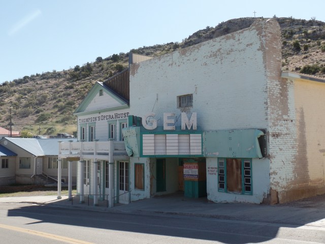
There was, however, an Opera House in town, which may have appealed to Mr. Hoover.

SAMSUNG CAMERA PICTURES

Thompson Opera House and Gem Theater, Pioche, NV

Before going in for a hearty breakfast at the historic Silver Cafe,  a stroll along Main Street was in order.

SAMSUNG CAMERA PICTURES

Historic Silver Cafe, Pioche, NV

SAMSUNG CAMERA PICTURES

Main Street, Pioche, NV

SAMSUNG CAMERA PICTURES

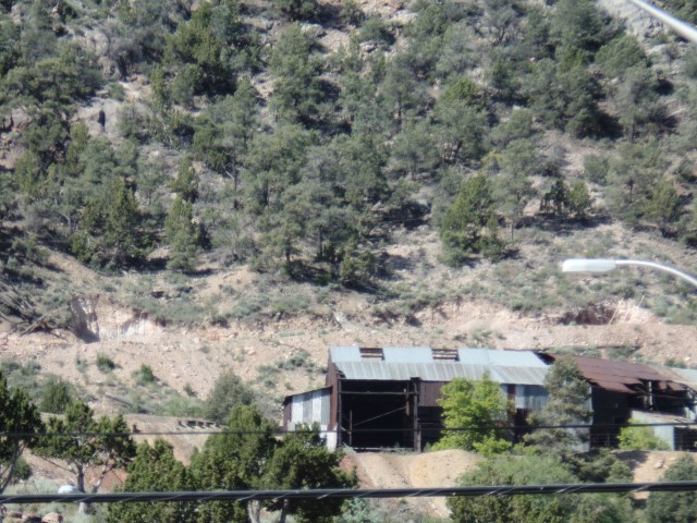
Mining Concern, west of Main Street, Pioche, NV

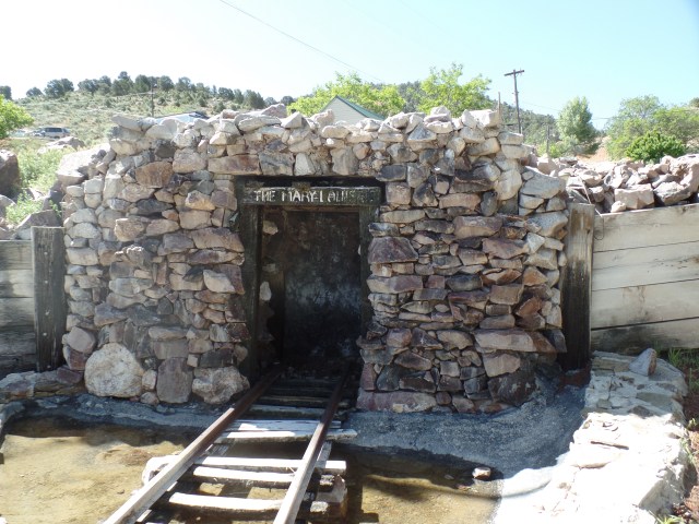
The pleasant little park at the end of Main Street was established in the 1980s.  The original developers were killed in an auto accident, in 1986, whereupon the community banded together and finished the job.

SAMSUNG CAMERA PICTURES

Heritage Park, Pioche, NV

SAMSUNG CAMERA PICTURES

The Mary Louise Mine Entrance (sealed), Heritage Park, Pioche, NV

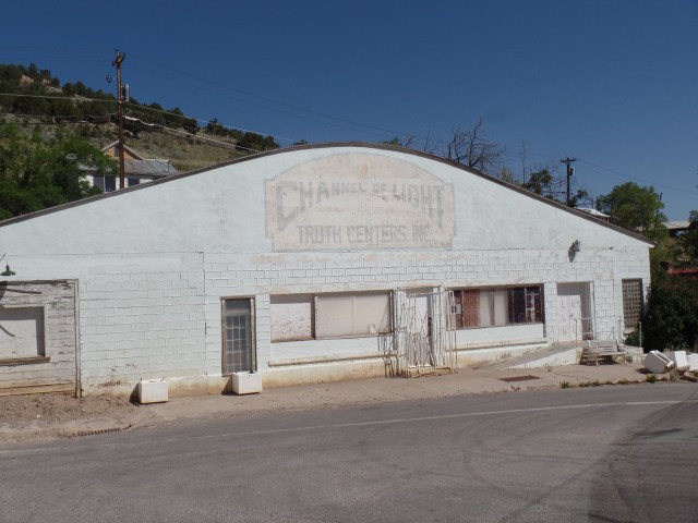
Like many Western towns, Pioche attracted some free spirits.  This Spiritist Hall existed for a time, in the early Twentieth Century.

SAMSUNG CAMERA PICTURES

Channel of Light Building, Pioche, NV

SAMSUNG CAMERA PICTURES

A downhill view of Main Street, Pioche, NV

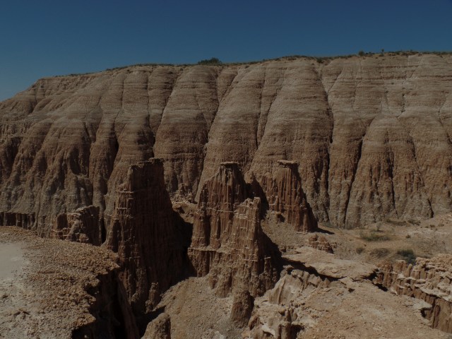
After breakfast in the bustling cafe, another quick stroll back to Motherlode Motel brought my brief visit to an end.  I did notice one last remnant of the Wild West.
SAMSUNG CAMERA PICTURES

Old “Social Club”, Main Street, Pioche, NV

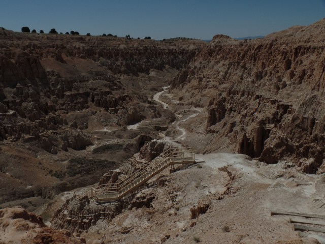
A quick drive up the hill was in order, before leaving town, for Cathedral  Gorge.
SAMSUNG CAMERA PICTURES

Pioche Hills

The town, and its surrounding hills, were named for Francois Pioche, an immigrant from France, who became a mining entrepreneur.  He built the mining concerns here, in 1868-9.

My day was just starting, but it’s best to split the tale into three parts.  Next post will showcase Cathedral Gorge and Panaca, as the hills fade away into the Great Basin.


Highway 50: Loneliness Is All In The Mind

2

June 2, 2016, Ely-  Sitting in the spare, but comfortable Silver State Restaurant, in this little anchor-town of the White Pine country of eastern Nevada, I had a bit of time to reflect on “America’s loneliest highway”.
I got on U.S. Highway 50,  in the eastern edge of Carson City, around 10:30 this morning, saying goodbye to my Baha’i sister, and her new home across town.  Gradually, the wonders of the Silver State itself unfolded:  The exit to Virginia City, the Comstock Lode historic site of Dayton, and the small commercial hub of Fallon, which serves as the western anchor of the so-called Lonely Road.

Fallon was rather quiet, on this first of many hot days to come.  It did have its share of business, though, and some of that filtered in to Susie’s BBQ, where I stopped for lunch.

SAMSUNG CAMERA PICTURES

Susie’s BBQ, Fallon, NV

I opted for brisket, as it was not really a sausage kind of day.  A Big Heat has taken the West under its wing, probably for the next seven or eight weeks, so we move, eat and adjust accordingly.

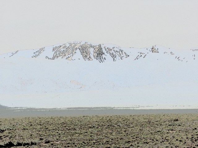
On my last ride across Highway 50, in 1980, my driver pointed out an expanse of salt flat, a remnant of ancient Lake Lahontan.  This was a massive body of water, stretching from the Sierra Navada to the Toiyabe Range.  Its remnants include the much smaller Lake Lahontan, east of Fallon, plus Lake Tahoe, Mono Lake and Pyramid Lake.  I did not, given the nature of my visit, go to any of the three western lakes, and there is intensive road work around the present Lake Lahontan.  Thus, here are some surrealist, filtered scenes of the Carson Lake Salt Flats.

SAMSUNG CAMERA PICTURES

SAMSUNG CAMERA PICTURES

SAMSUNG CAMERA PICTURES


SAMSUNG CAMERA PICTURES

Notice there are some graffiti, inscribed by local lovebirds and various passers-by, who find romance in the desolation.

My next focus was on the Toiyabe Range, one of three mountain ranges that stretch north to south, in central Nevada.  The Toiyabe and White Pine mountains, like the Sierra Nevada, are still somewhat snow- packed on their summits and high ridges.

SAMSUNG CAMERA PICTURES

Toiyabe Range, central Nevada

SAMSUNG CAMERA PICTURES

Toiyabe Range, Central Nevada

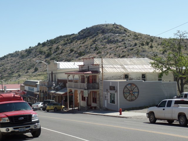
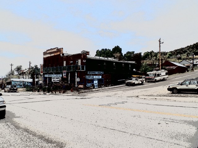
Austin is one of those little towns that used to be a link on the Pony Express, as well as where silver, lead and zinc were mined.  Silver still can be found, here and there. Lead being largely out of favour these days, for health concerns, is cause for several closed and shuttered mines.  The few folks who live here tend to be flinty-eyed towards anyone wearing shorts and a camera, but I find places like Austin intriguing, nonetheless.

SAMSUNG CAMERA PICTURES

Main Street, Austin, NV

SAMSUNG CAMERA PICTURES

St. Augustine’s Church, Austin, NV

The back streets have their appeal, as well.  Virginia Street alludes to the Mother Lode.

SAMSUNG CAMERA PICTURES

Lander County Courthouse, Austin, NV

Back on Main Street, the courthouse and visitor center(closed at the time) give Austin a bit of gravitas.

The walls in back of the main properties were built to last, with land slides always being in the back of people’s minds.

SAMSUNG CAMERA PICTURES

Retaining wall, behind Courthouse, Austin, NV

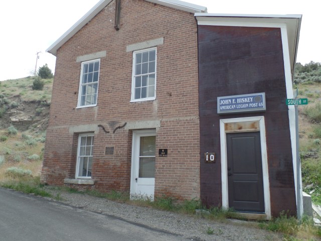
The old city hall was taken over by the American Legion, as John F. Hiskey Post 45, in 1947.

SAMSUNG CAMERA PICTURES

Old City Hall, Austin, NV

Crowning the heights above Austin is Stokes Castle.  Anson  Phelps Stokes, The Elder, was an industrialist and entrpreneur in the late-19th Century.  He built the edifice as a summer “tower”, but only actually used it for two months, in 1897.  After that, the Stokes family abandoned the place.  Austin’s citizens have fenced the structure off, and it is indeed unsafe to enter.  It remains, though, as a testament to the town’s glory days.

SAMSUNG CAMERA PICTURES

Stokes Castle, Austin, NV

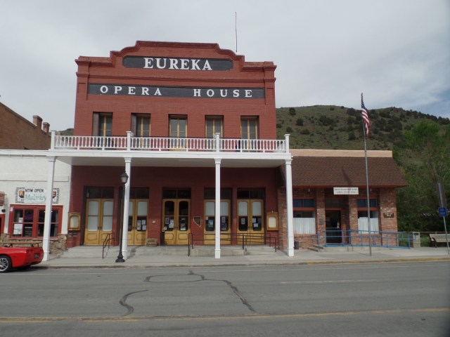
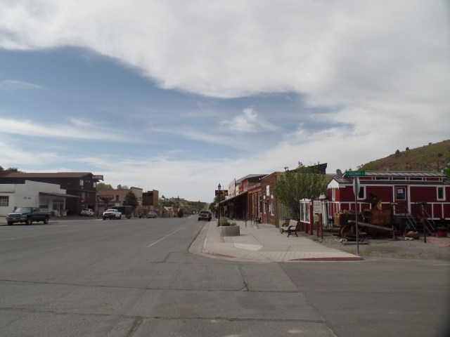
An hour or so east of Austin lies Eureka, where people smiled, flashed peace signs and seemed quite relaxed, as their work day was coming to an end.

SAMSUNG CAMERA PICTURES

Eureka Opera House, Eureka, NV

SAMSUNG CAMERA PICTURES

Eureka County Courthouse, Eureka, NV

SAMSUNG CAMERA PICTURES

A westward look down Main Street, Eureka, NV

I had miles to go, before I slept, so on east it was, to Ely, NV, a more contemporarily- built, commercial hub, at the end of the “Loneliest Road”.  I had dinner at the aforementioned Silver State Restaurant, then gave my camera a rest- until I came to the White Pine Range.  These mountains are named for the light-coloured wood of the local evergreens.

SAMSUNG CAMERA PICTURES

White Pine forest, south of Ely, NV

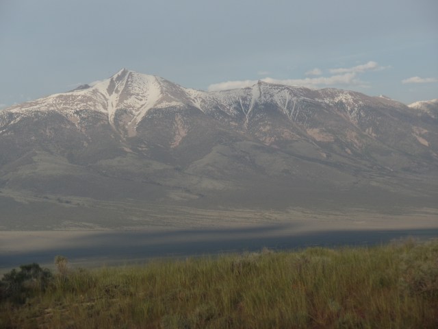
Wheeler Peak, not to be confused with the mountain of the same name that is New Mexico’s highest peak, is the crown of the White Pines, and second only to Boundary Peak, (in western Nevada), in terms of high points in the state.

SAMSUNG CAMERA PICTURES

Wheeler Peak, White Pine Range, south of Ely, NV

Thus, as you can see, loneliness is a definite state of mind.

NEXT UP:  Pioche, Panaca and the amazement of Cathedral Gorge


There Is No Empty

7

May 28, 2016, Carson City- The medical emergency which hospitalized an old friend, yesterday, has abated somewhat.  As is usually the case in a responsible medical institution, she has been kept overnight and will be able to leave hospital tomorrow, if her condition holds and tests turn up negative.

So, with my anxiety thus relieved, I headed north from Prescott, at a suitably early hour ( 8 A.M.), stopping for a late breakfast at Westside Lilo’s, my restaurant of choice in Seligman, a fun, touristy town, some 34 miles northwest of Prescott.  Lilo and her husband have had this German-Mexican fusion establishment since 1963.  It, along with several other places in town, do a land-office business, owing to the popularity of the area as a pit stop between Las Vegas and the South Rim of the Grand Canyon.   After a lovely chorizo scramble, and some banter with Lilo, I was off again, this time without the transmission issues that clouded last year’s Reno trip.

Being a holiday weekend, traffic through Kingman and Las Vegas was a fraction of what it normally is.  I made it through the metro area in rather short time, choosing to stop at Indian Springs, on the far north side of Clark County, for a refueling.

U.S. 95 was characteristically sparse with traffic, most of it being commercial on this serene Saturday, and much of that was comprised of fuel tankers, of all things.  A spot of rain in and around Tonopah, and again in the area east of Boundary Peak, gave a bit of a shake-up to the droning drive.  Another point of interest is the transition zone between the Mojave Desert and the Great Basin.  The Joshua Trees, and other plants native to the Mojave, fade out near Coaldale Junction, about an hour north of Tonopah.  The Basin is largely grassland, at least in this area.  Salt flats are a bit more common than I remember seeing, in previous visits.  Then again, I was pre-occupied with the car last year, and may not have noticed.

Speaking of which, my stop in Hawthorne, just south of Walker Lake, was brief and uneventful this time.  A tankful of gas was all that was needed.  Looking in the restroom mirror, though, I saw a scruffy face, with an uneven shave, looking back at me.  That may have explained the “30-45 minute wait” I was offered at Pizza Factory, near the Shell station.  I moved on, taking a quick look at the lake, before heading to Carson City in greater earnest.

It is still cool here, in the eastern reaches of Sierra Nevada, and it will be a while before Mt. Grant (above, right) sheds its snow cover.

The old friend whom I am visiting these next few days  has,  this very day, moved from Reno to Carson City, closer to her younger daughter and youngest grandchild.  It is partly my purpose to help with the inevitable furniture moving and unpacking of boxes, as her settling in again continues.  After a lovely drive through the scenic Smith Valley, with its towns of Yerington, Wellington, Gardnerville and Minden, punctuated by the gorgeous West Fork of the Walker river, I found it prudent to get a hearty dinner at El Charro Avitia, on Carson City’s south end.  There, I enjoyed the delights of seafood enchilada and shared in the locals’ joy in their favoured Golden State Warriors’ come-from-behind victory.

It took a bit longer to locate my host’s new residence, but here I am, at the end of the day, and in the process helping her to note that her new apartment complex has two distinct sub-complexes.  Out of confusion comes learning.  I am fortunate to have several places where I feel like I’m with family.  Tomorrow, a little angel will explain to me the world of cartoon dragons.