May 28, 2015, Carson City– I am not graced with a melodic singing voice, and dancing came to me only after a lot of practice. Today would be capped by my artistic Washoe County extended family members, dancing (3-year-old ballerina) and singing (professional disc jockey).
We headed out for Carson City a bit before noon, the eventual goal being to watch a pre-school graduation, with several dances and Nursery Rhyme skits. First up, though, was a visit to one of downtown Carson’s neat eateries- Comma Coffee. It is just down the road from the St. Charles Hotel, on Carson Street. The Ferkin & Fox Company now owns the St. Charles Hotel.


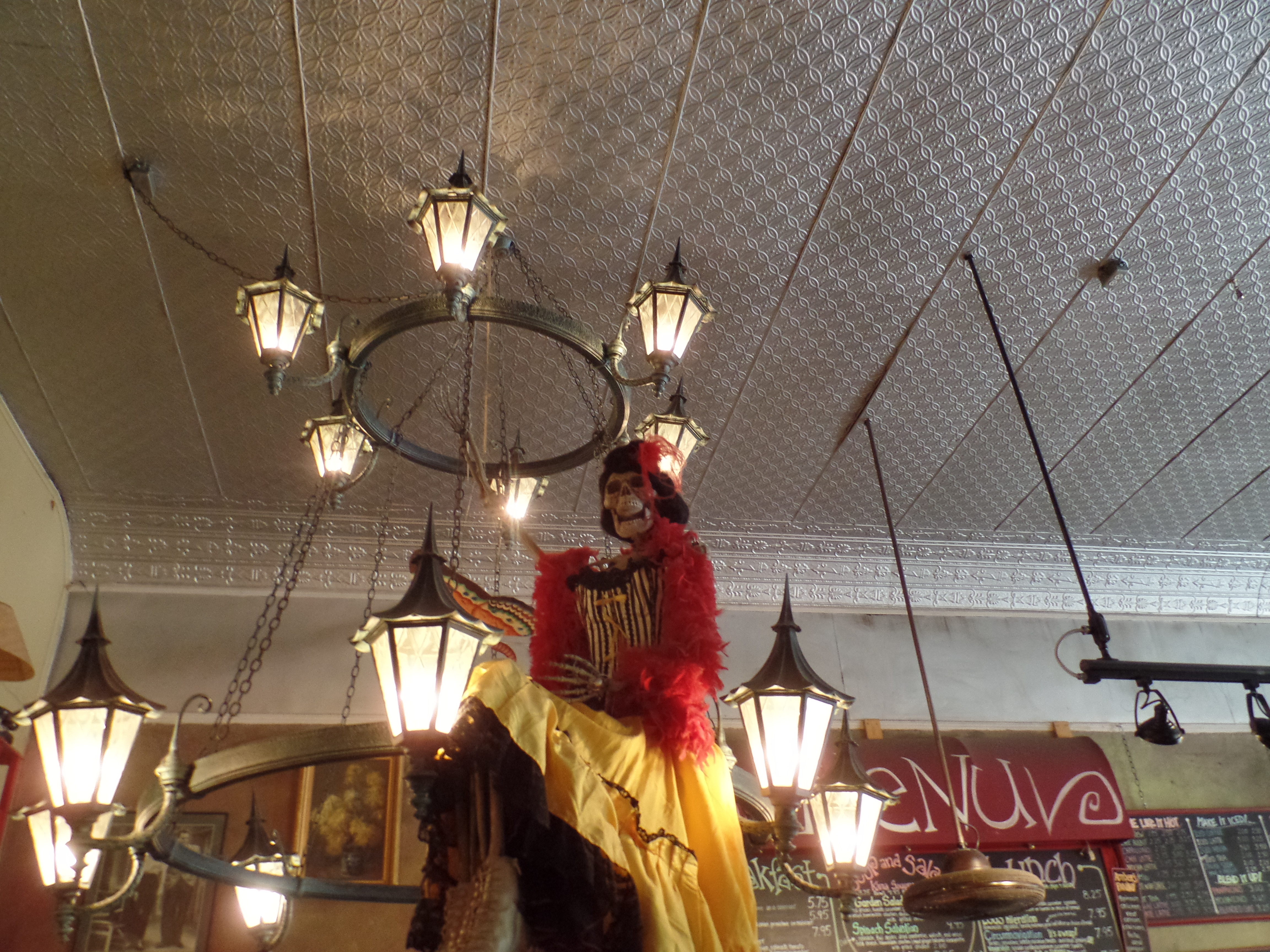
Comma Coffee is home to a rather spooky group.

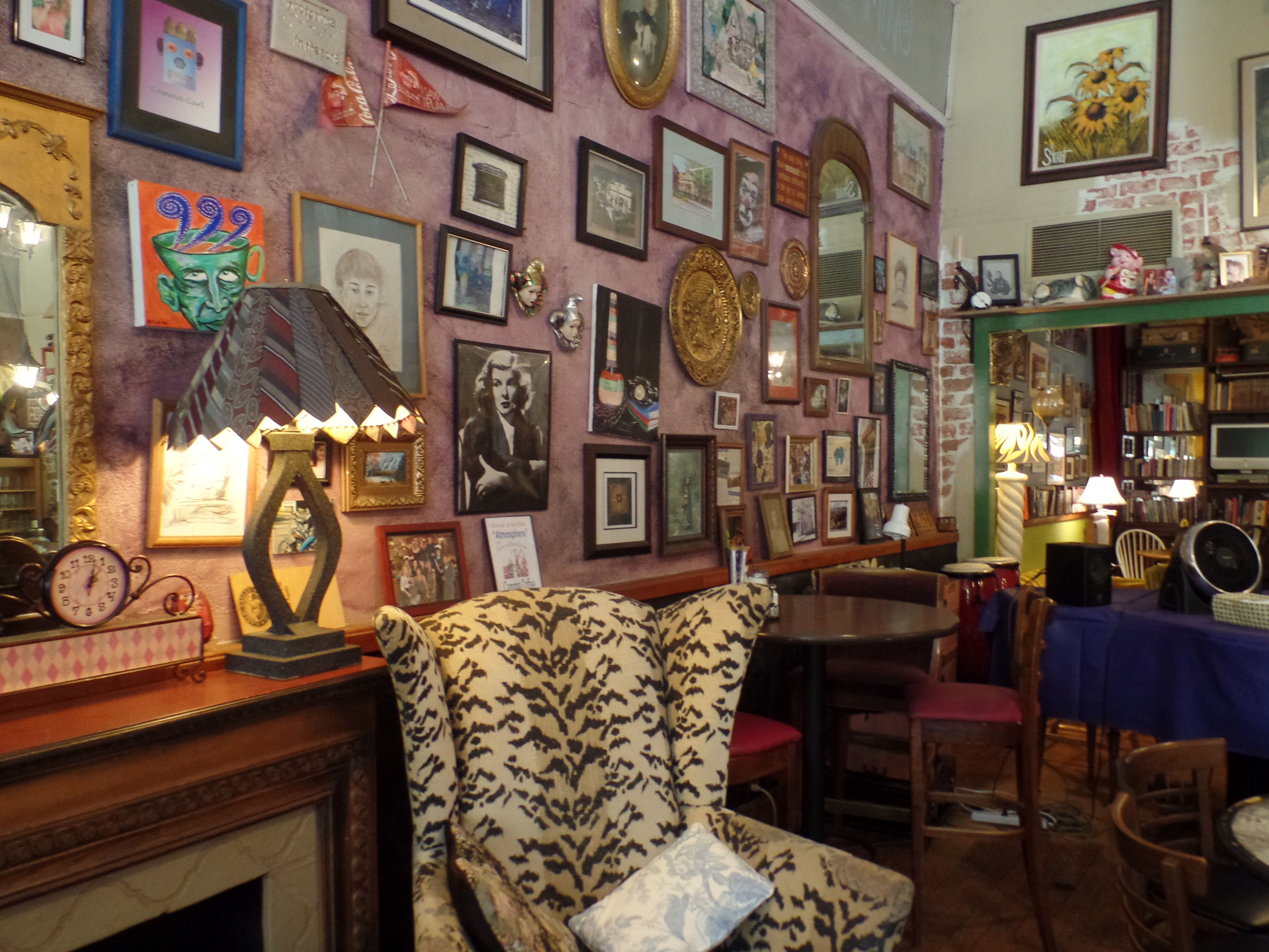
The walls reflect 150 years’ worth of memorabilia.
The “performers” prefer to hang loose.

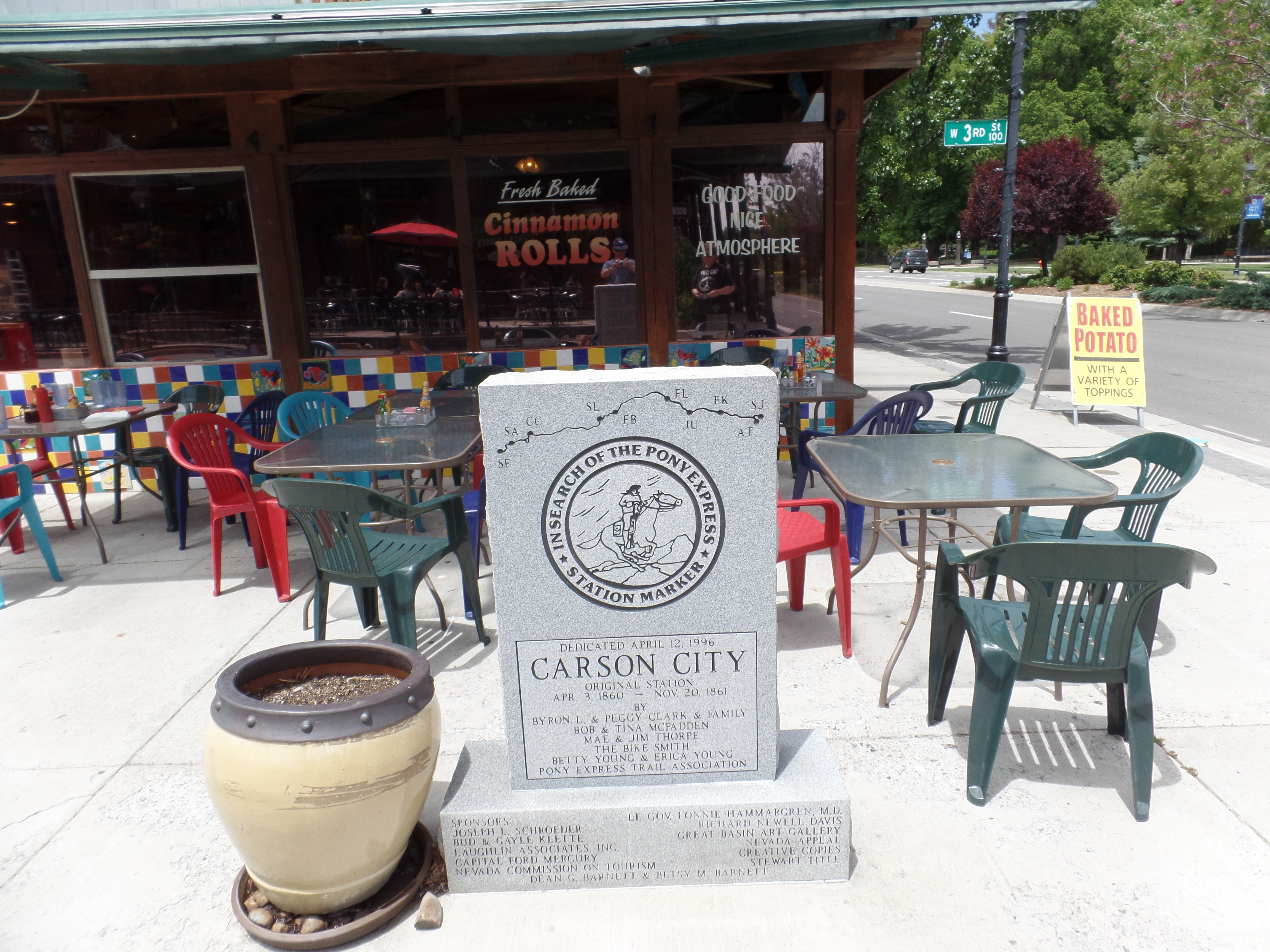
Carson City’s beginnings, rooted in the days of the Pony Express, are commemorated in front of another cafe.
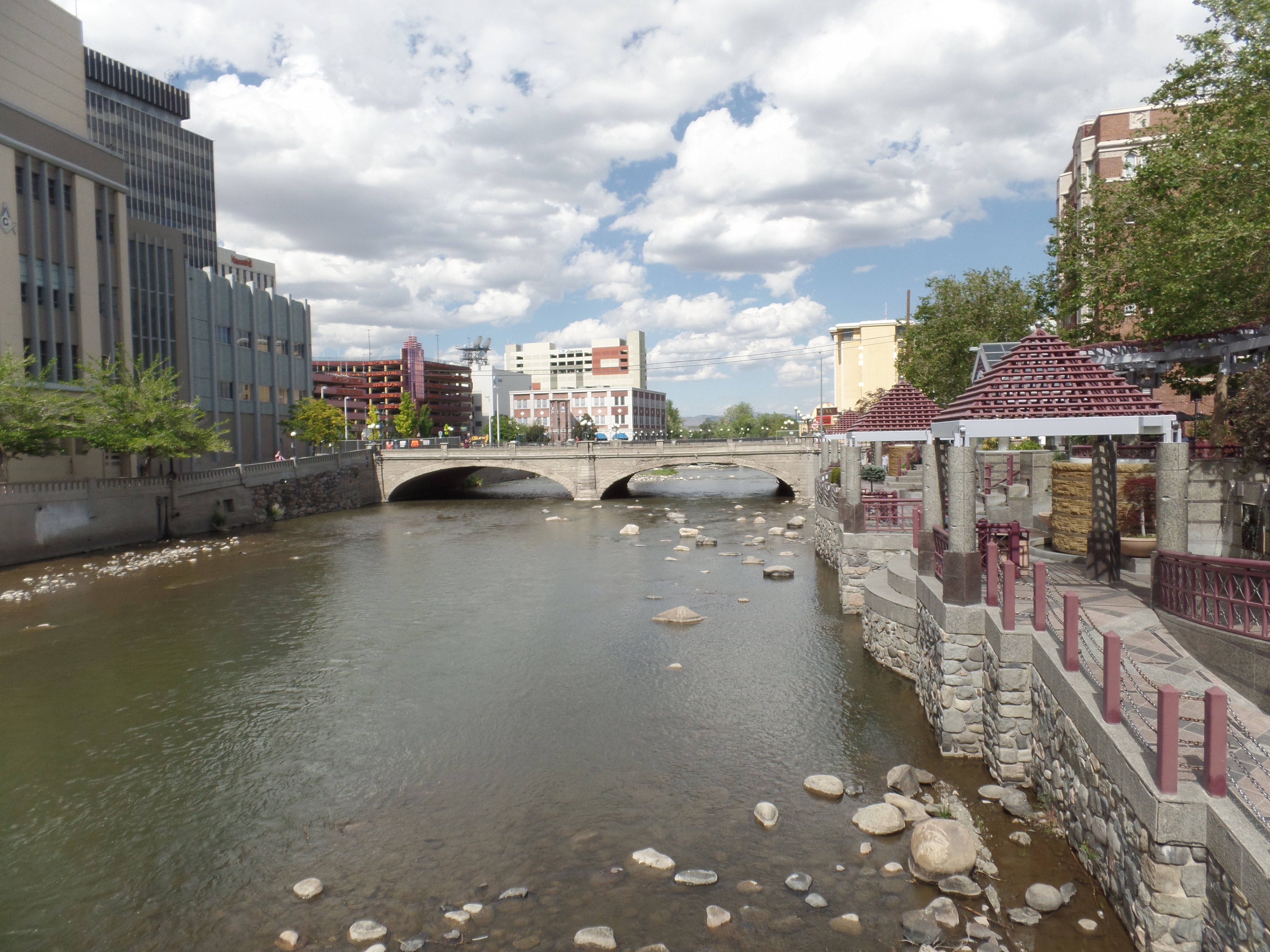
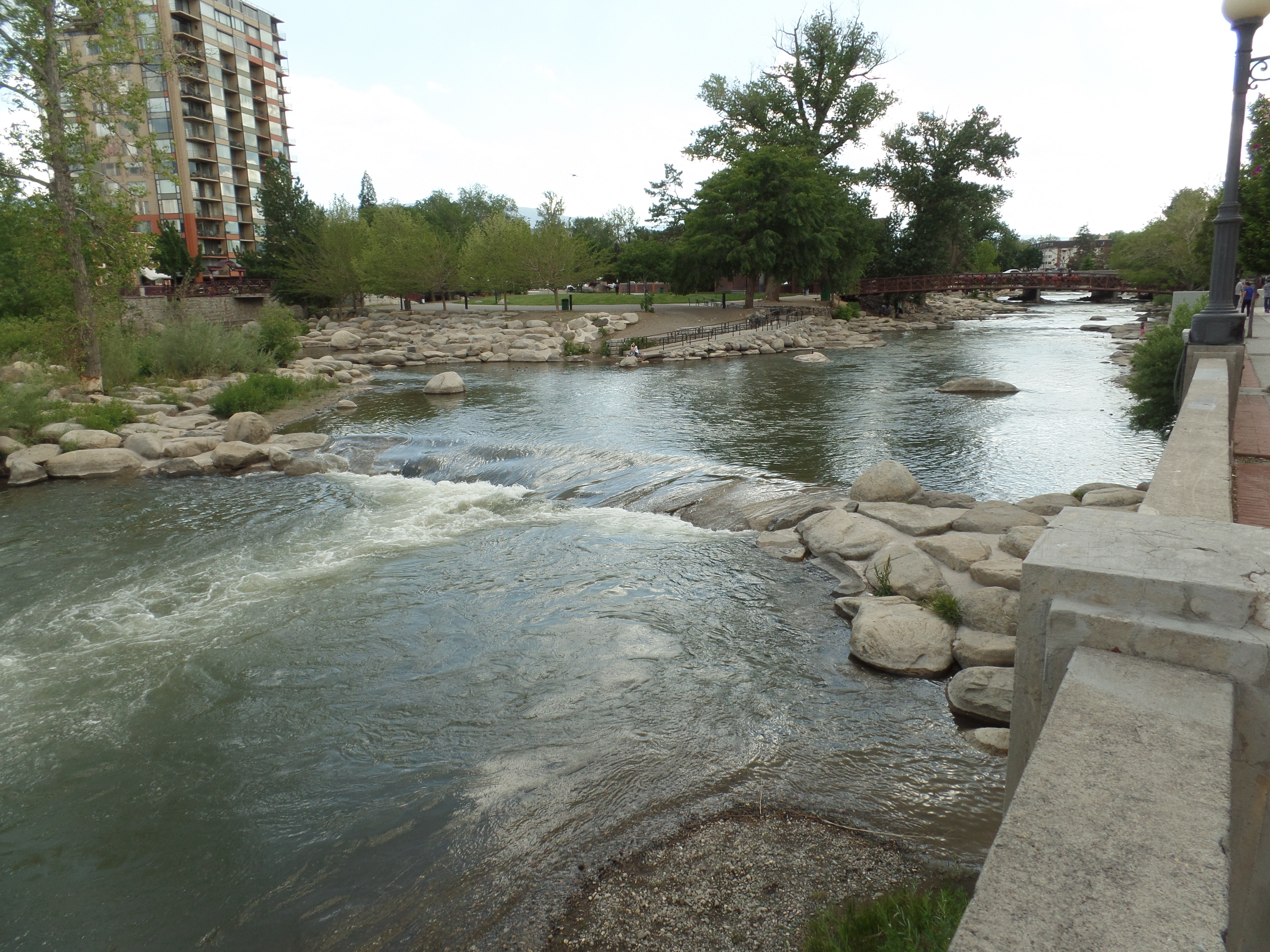
We spent a half hour or so walking around the State Capitol District, the heart of Nevada’s capital city.

This is one of three buildings used by the Attorney-General of Nevada.

West of the AG’s complex is the Donald W. Reynolds Press Center, of the Nevada Press Association.
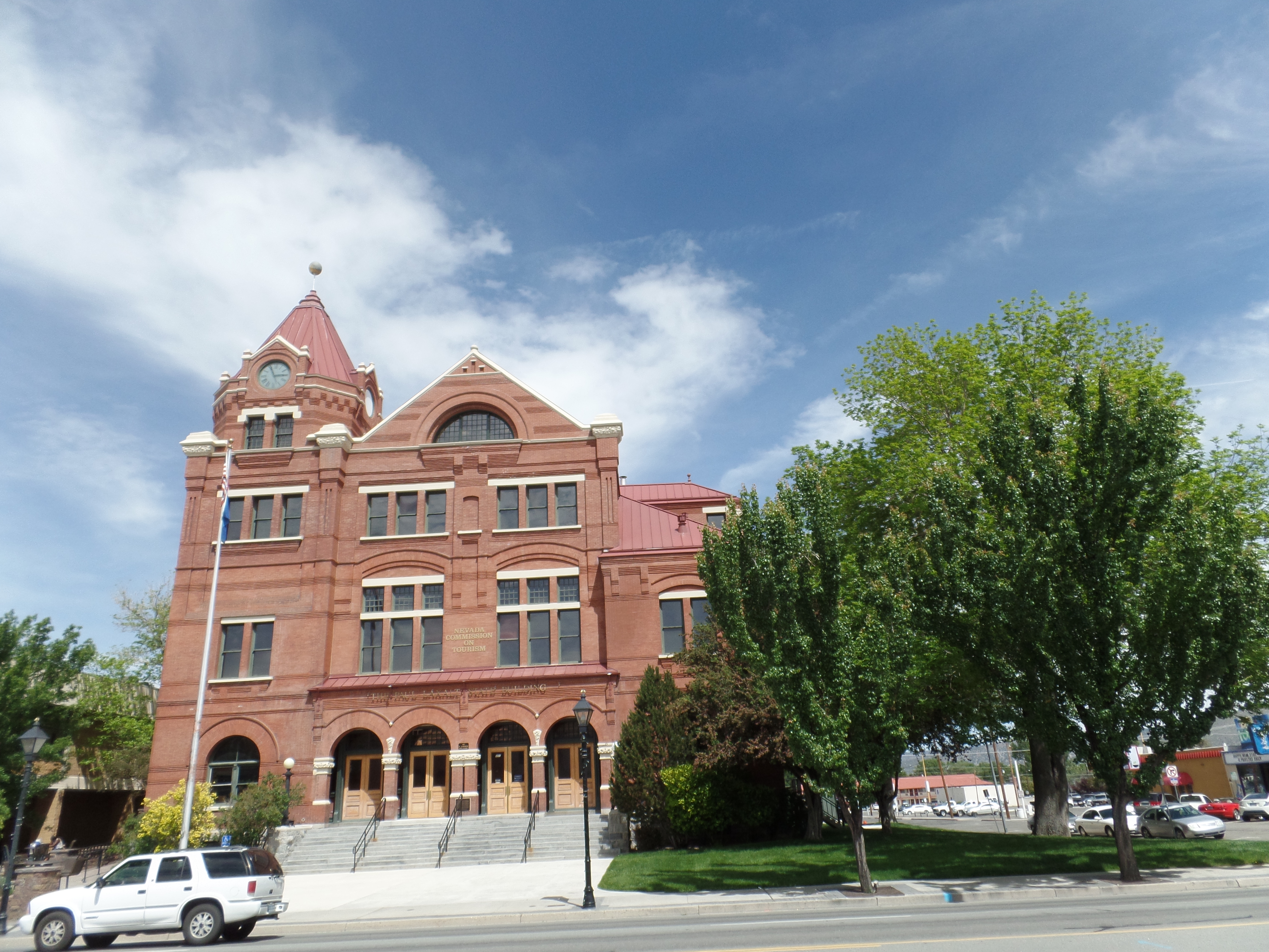
Uptown from the complex is the Nevada Commission on Tourism, in one of Carson City’s oldest buildings.

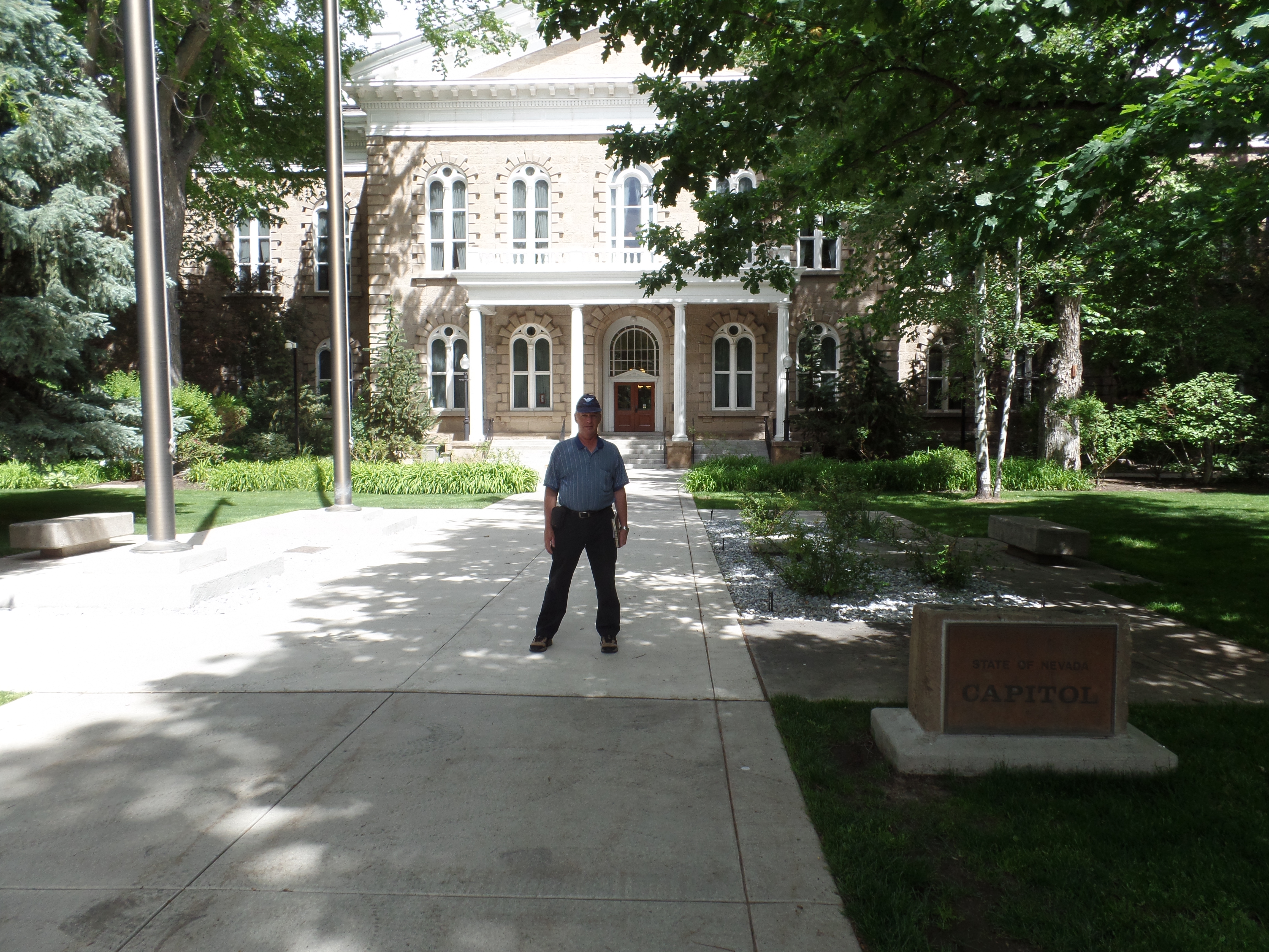
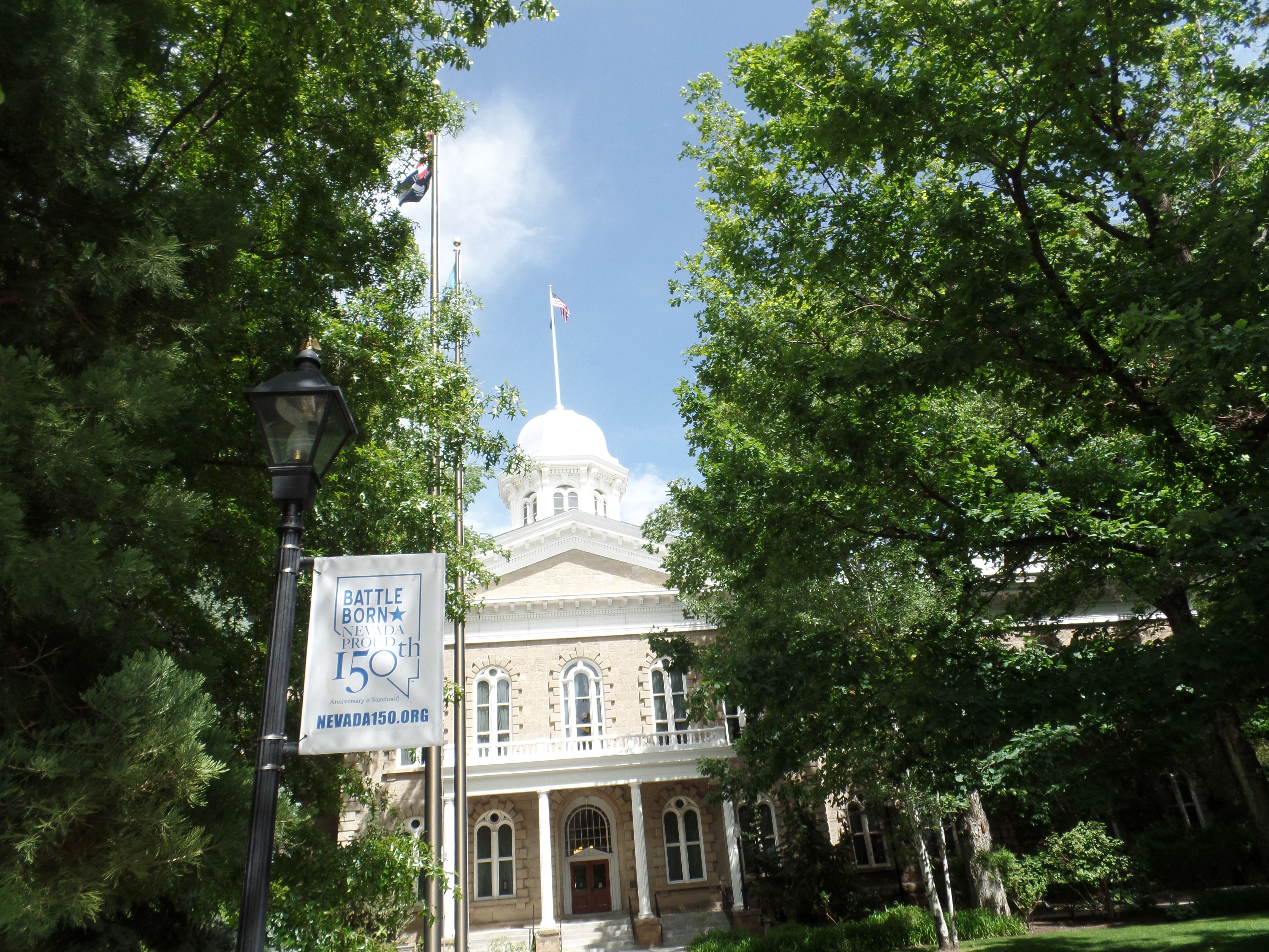
We then sauntered over to the grounds of the Capitol itself.
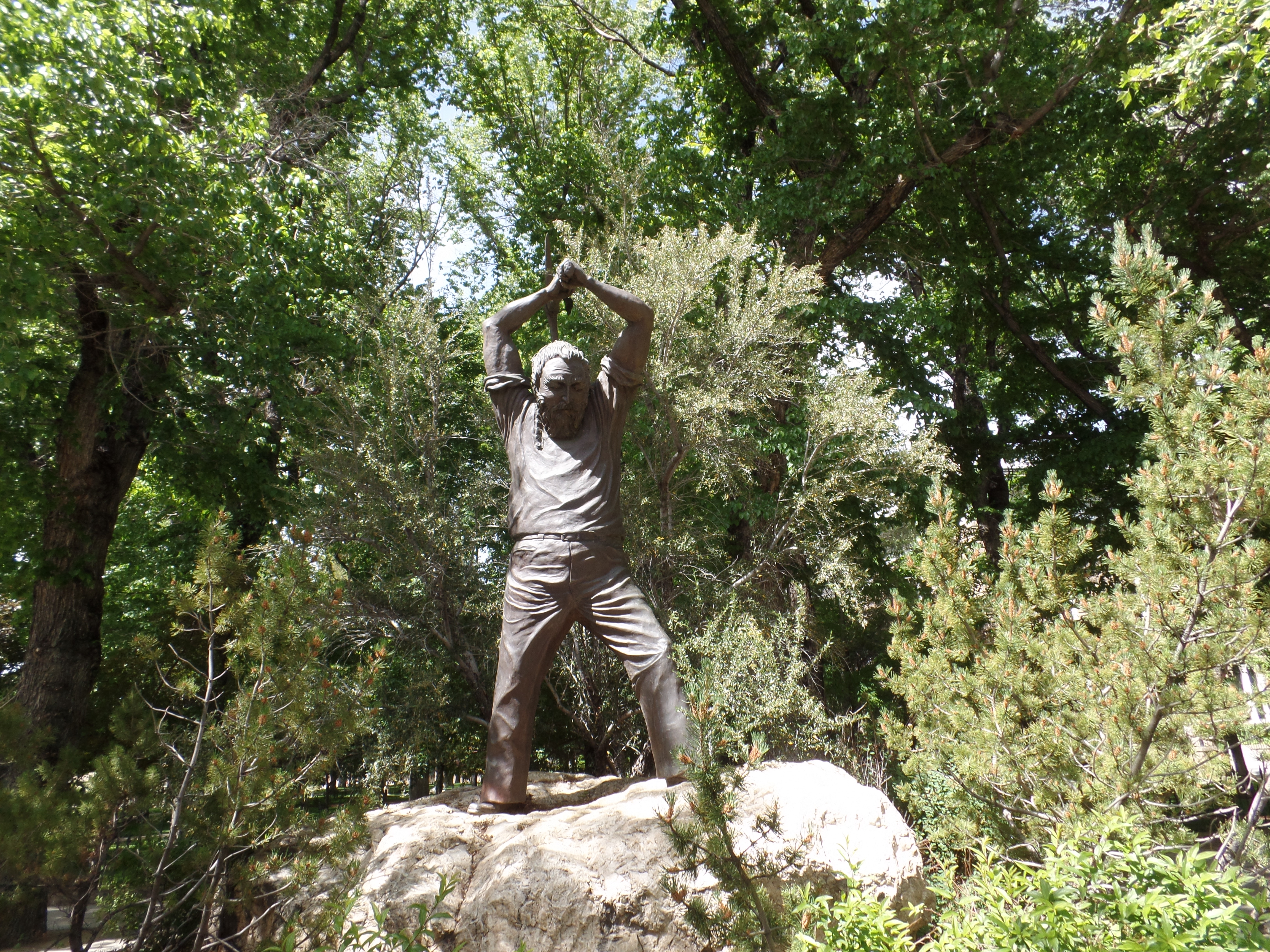
This statue honours Nevada’s miners, a collective mainstay of the state’s economy.
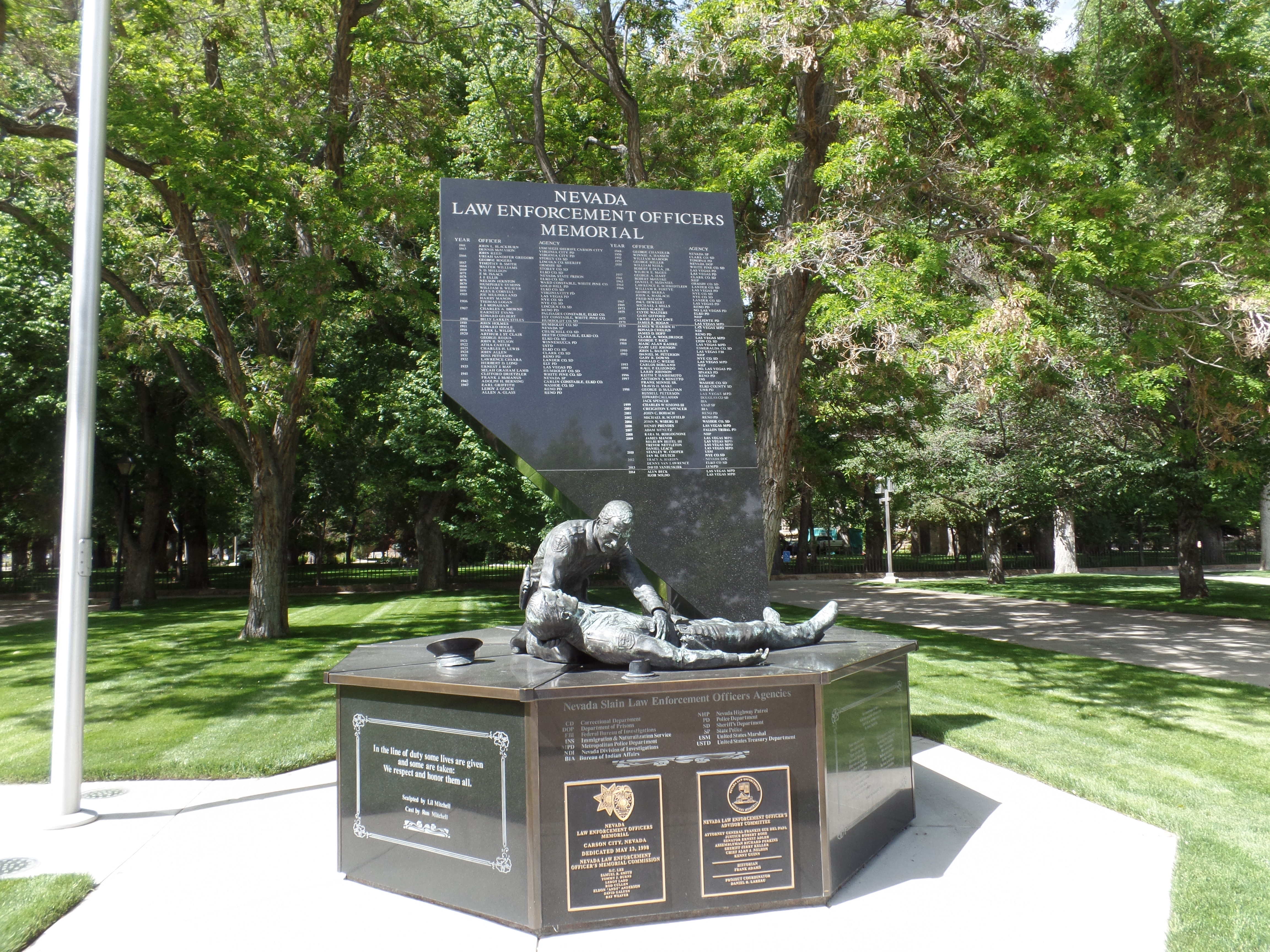
The state has seen its law officers more at risk, as the population has grown so rapidly, in the past thirty years.
There are several other statues on the Capitol grounds. There are also more than two dozen types of flowers.

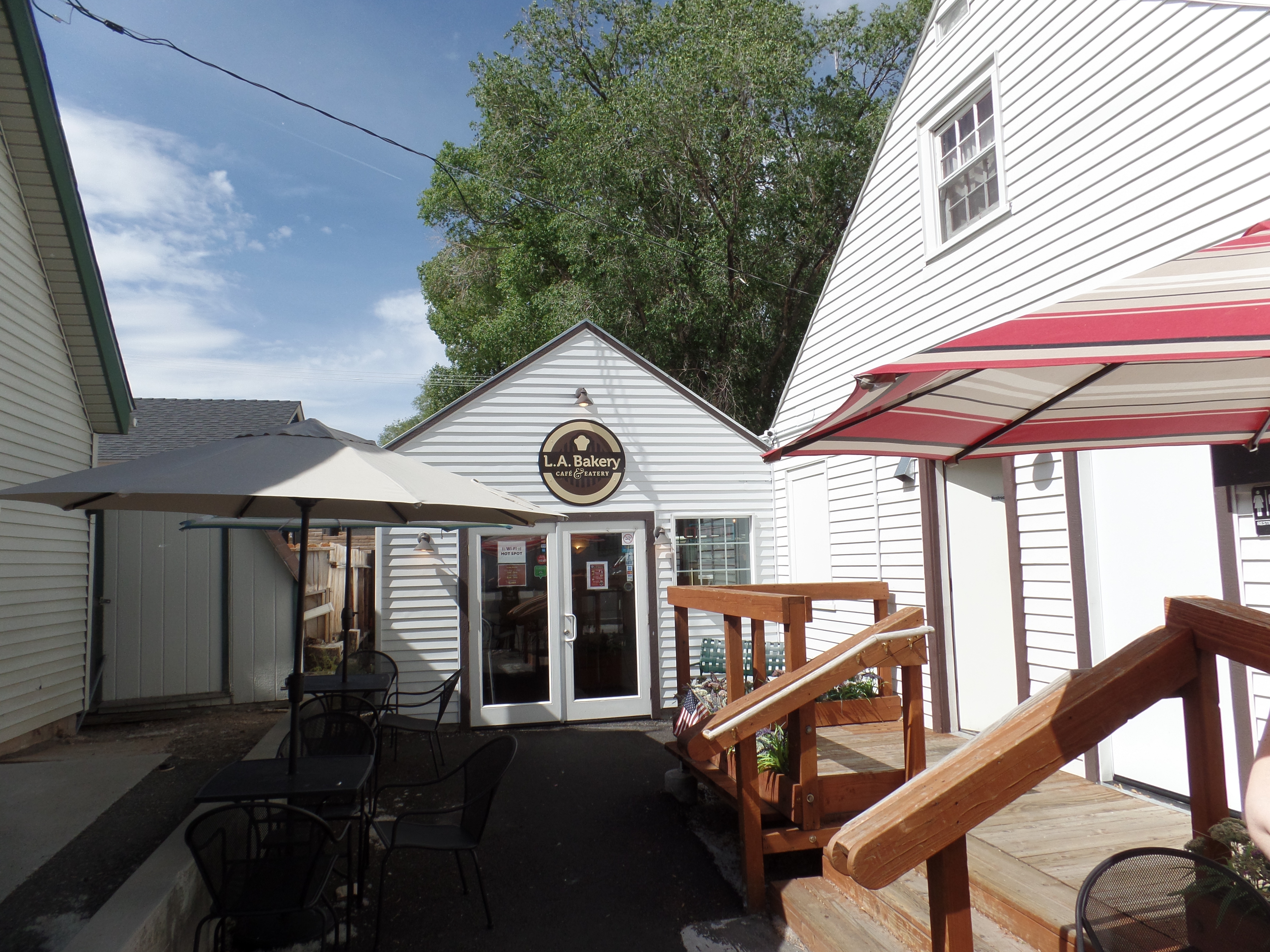
We took a short break in late afternoon at LA Bakery, another fine little cafe, in the West Side Historic District. It is owned by some Persian-Americans.
My affinity for bonsai was satisfied by this little gem, in the dining room of LA.

My mom had a Ming-style bonsai, in our parlour, for over forty years.
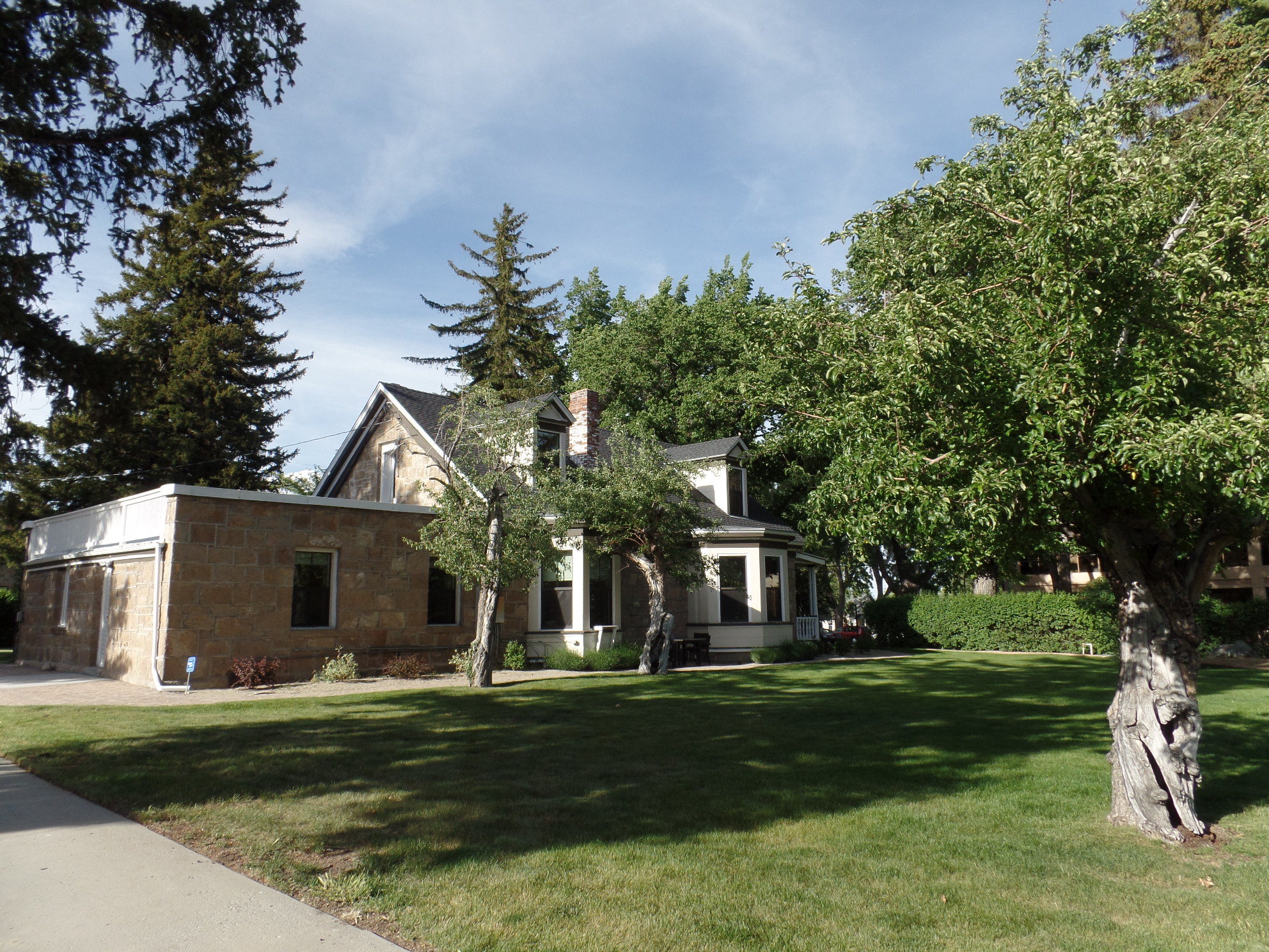
The Stewart-Nye House was home to a Nevada governor, James W. Nye, in the last years of the Nevada Territory. Mr. Nye, and his predecessor in the house, William M. Stewart, became Nevada’s first U.S. Senators. The house now is the site of a law office.
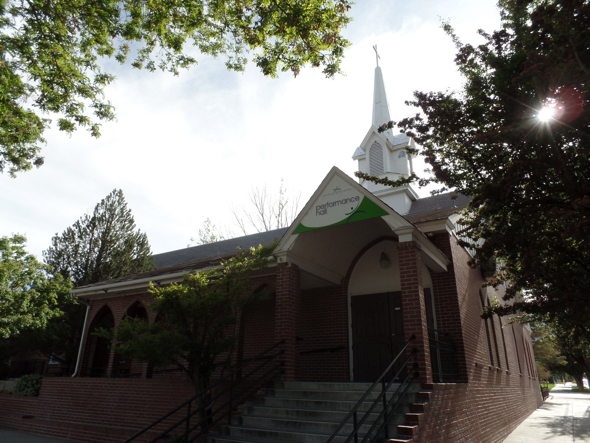
The Pre-School ceremony was held in a former Catholic church, now a Performance Hall, ironically called the Brewery Arts Center.
The children did an admirable job, with the various songs, dances and skits set before them by the veteran Pre-School Director. Our youngest generation is up to reaching the bar. My Reno extended family’s youngest member did her part in the dance, and made us all proud.
We headed back up to Reno afterward, and enjoyed an hour’s worth of karaoke, with thin-crust loaded pizza on special, at Uncle Vinny’s Pizza. My host, Steve, was the DJ at the event, and it featured five melody masters, each doing their covers proud. Of course, in keeping with my policy, no personal photos are posted here.
It was a fabulous day, and my Nissan is close to being roadworthy once again.