The Carson Loop, Day 4: Shakespeare and Sand Dunes

2

October 18, 2022, St. Anthony, ID- The best thing about hiking on a sand dune is returning the sand to its spot on the ground, by emptying the shoes. There is no better feeling in the world, than “giving back” in this way.

Also right up there is seeing the lights in several children’s eyes shine, as they learn of things like rhymed couplets and iambic pentameter-taught by one who knows them best, their mother. Home Schooling makes sense for some children, and I witnessed such a group today. I needed to be with other kids, so it would not have been good for me. The three boys and their sister were able to dive into the mechanics of poetry, and read Shakespeare’s “The Tempest”, with each person selecting a part, and Mom taking up the slack. Math, mythology, science and Physical Education rounded out their day, later on.

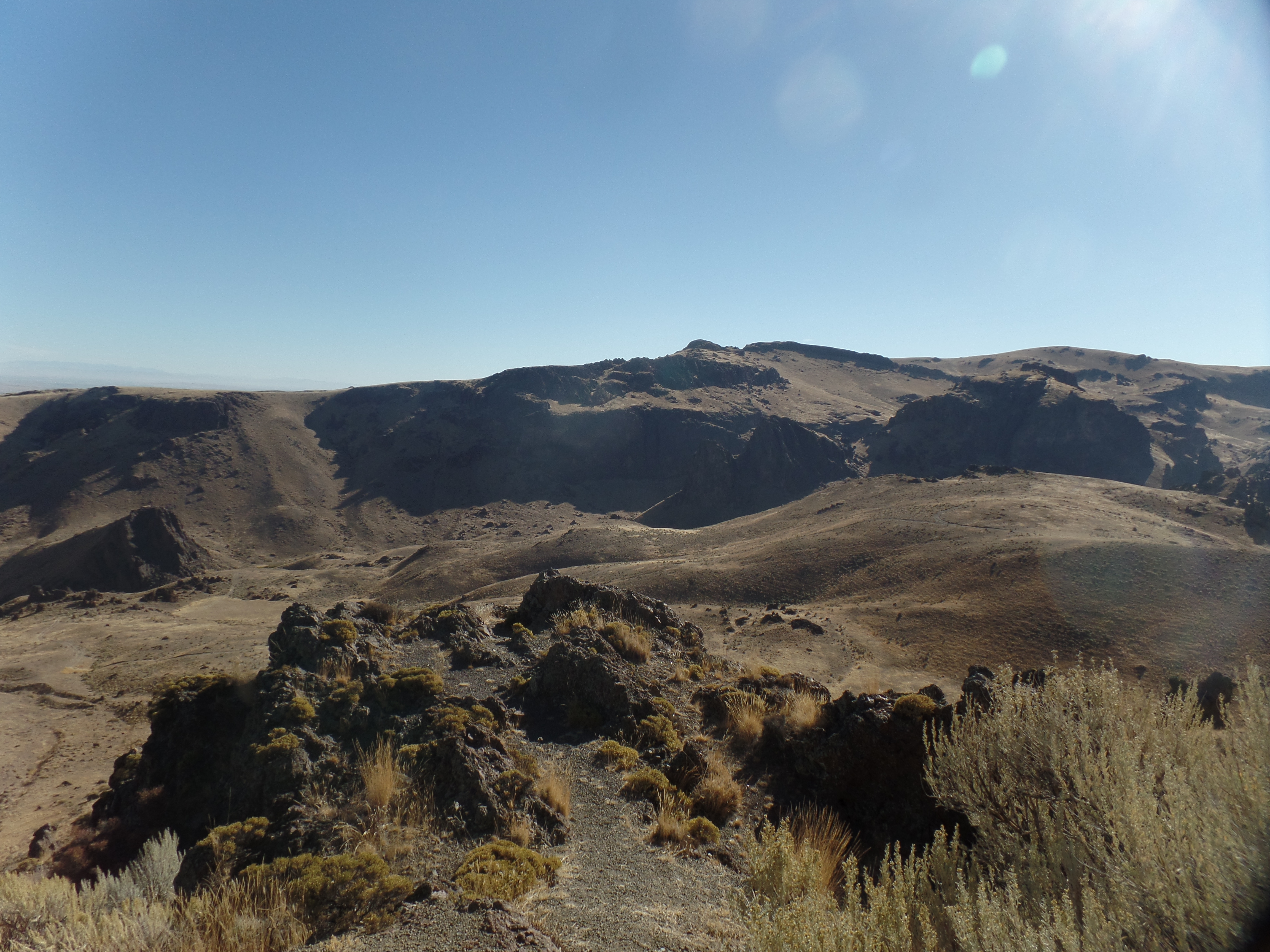
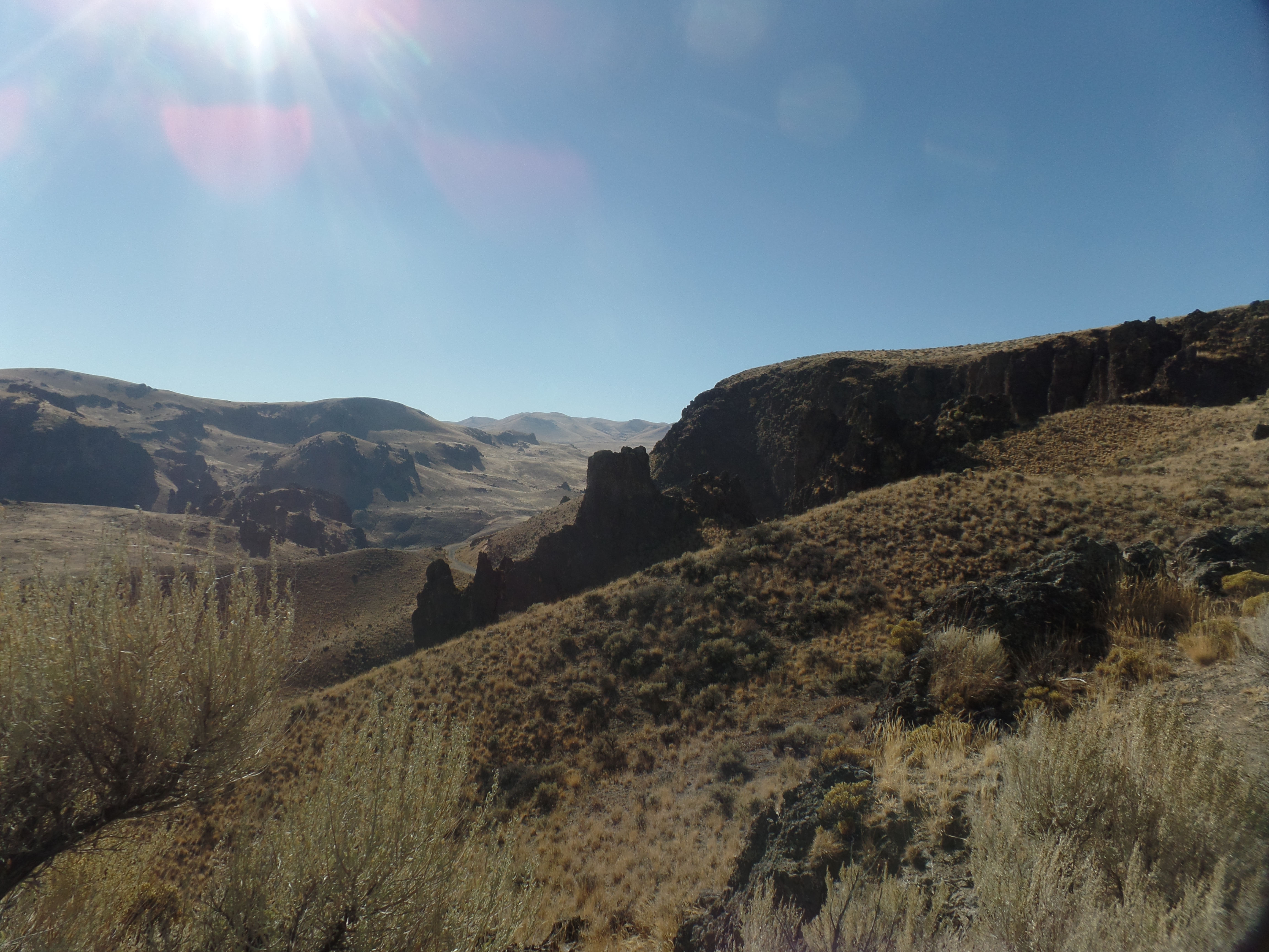
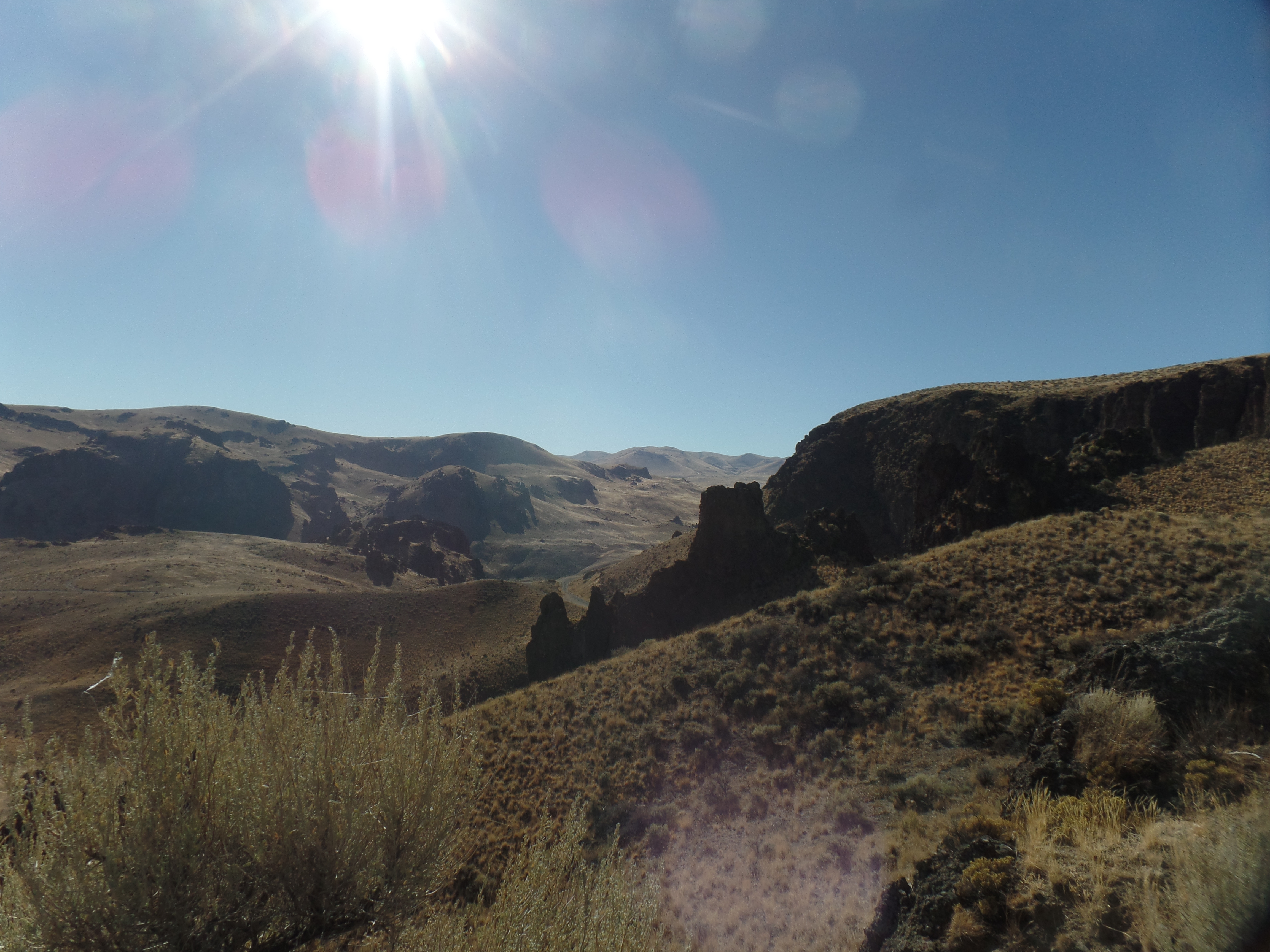
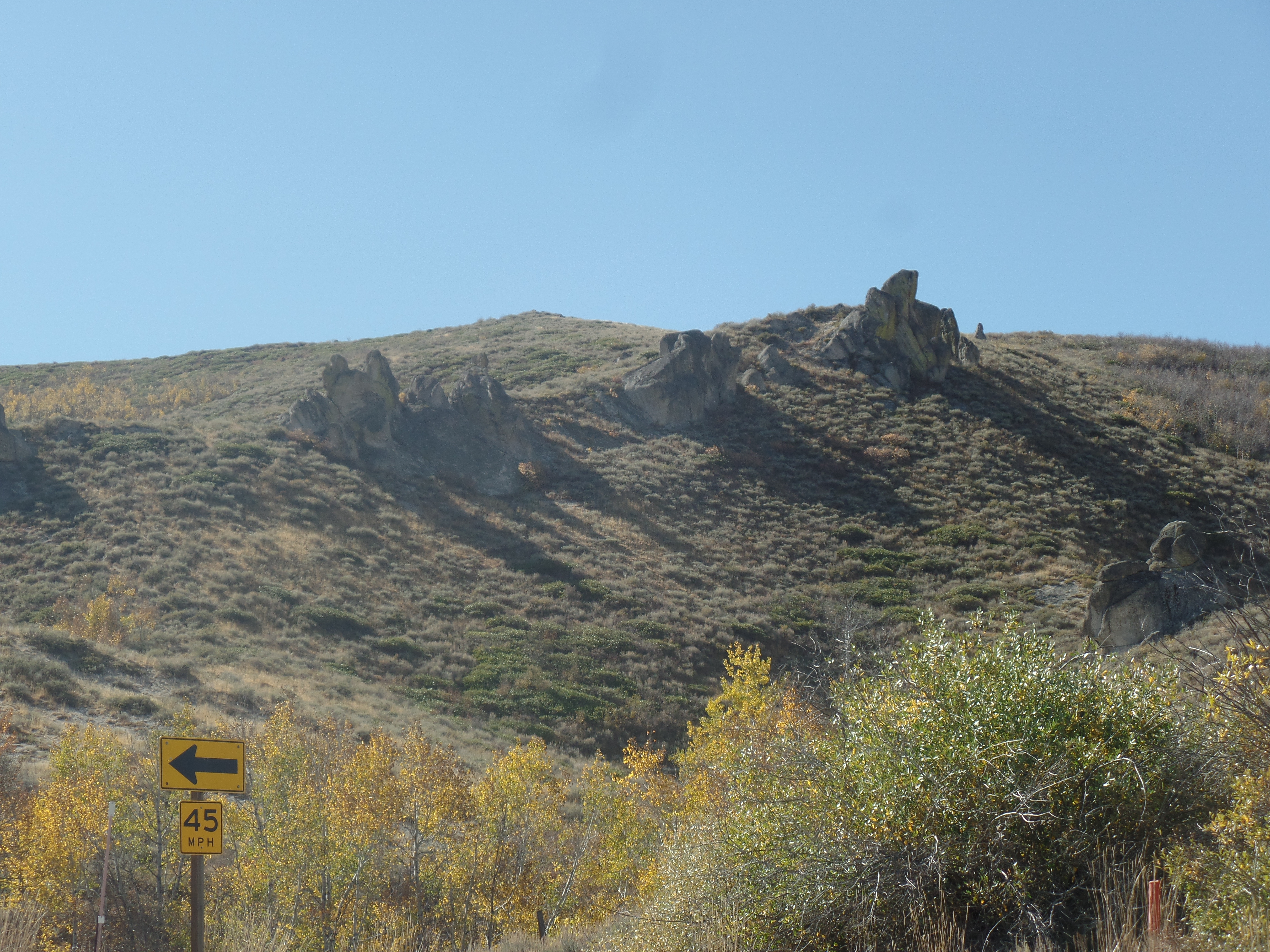
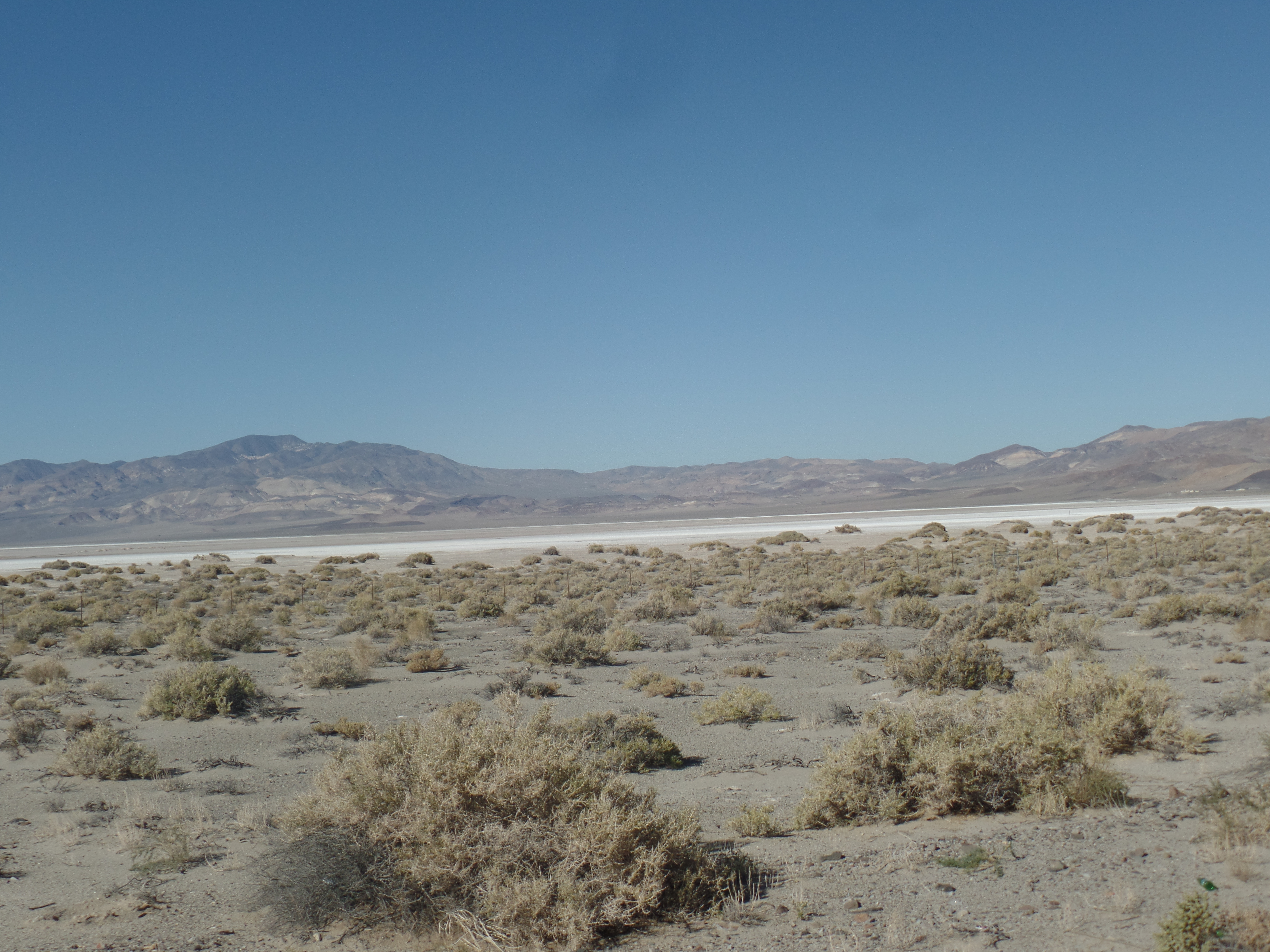
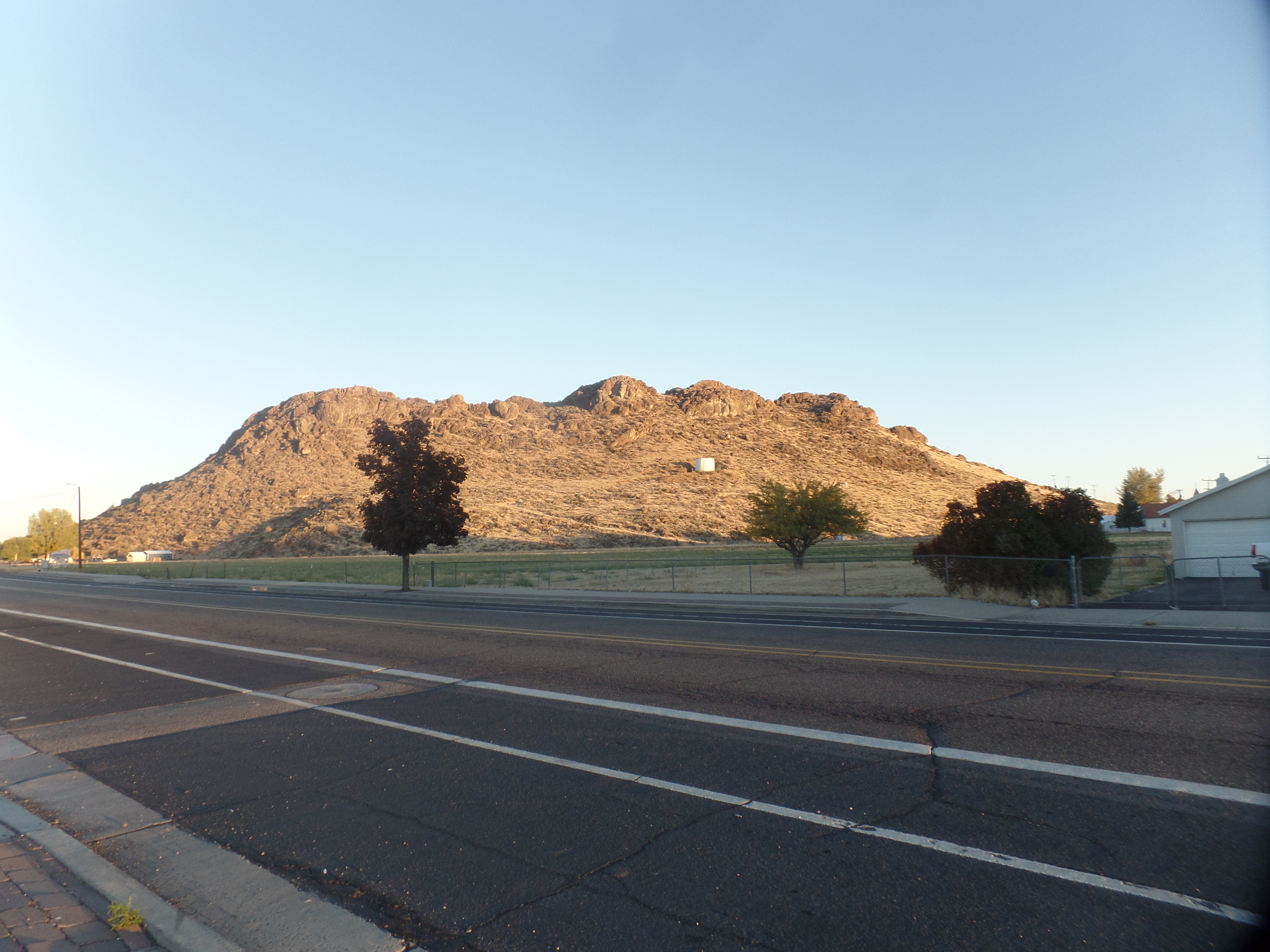
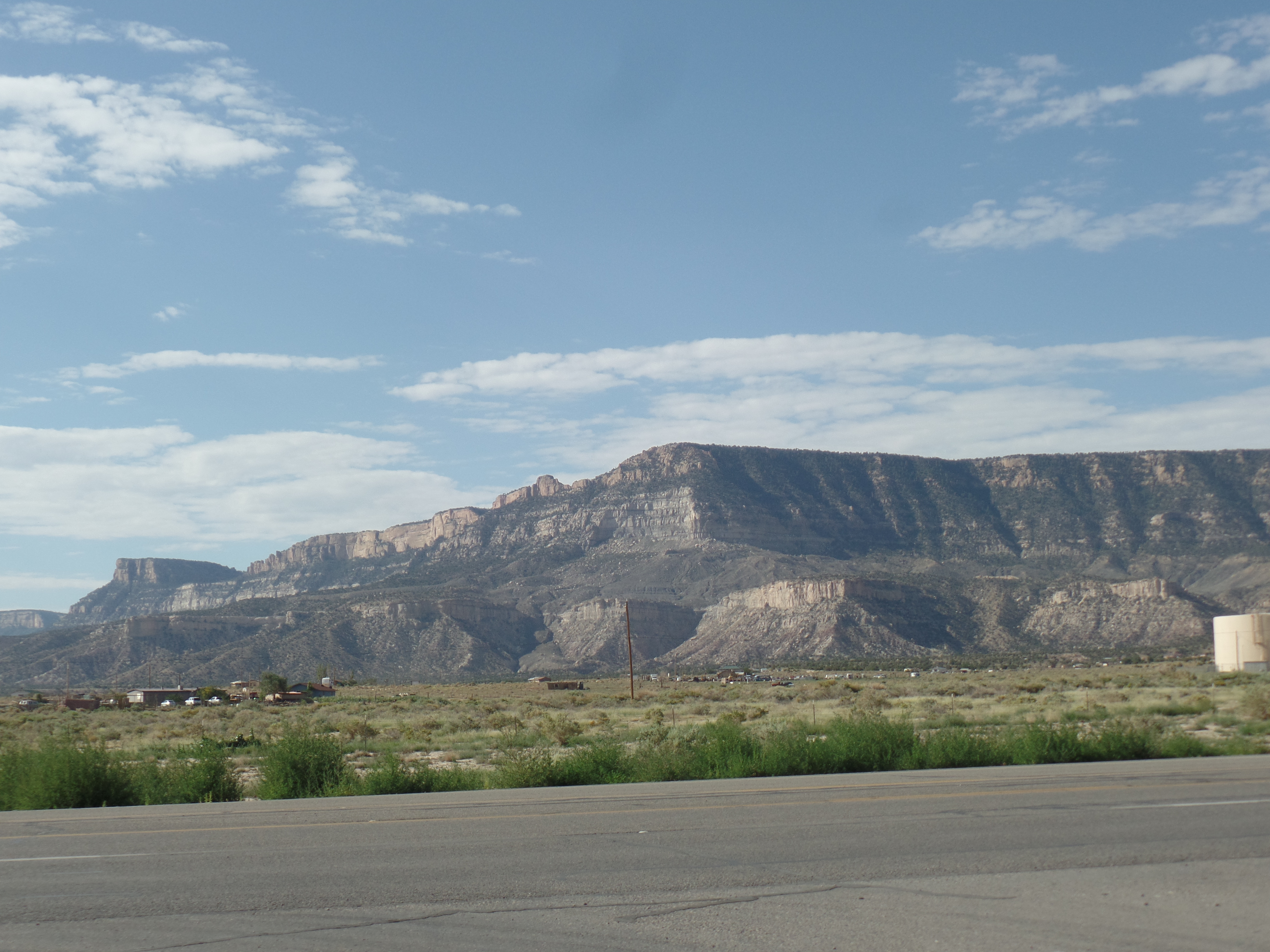
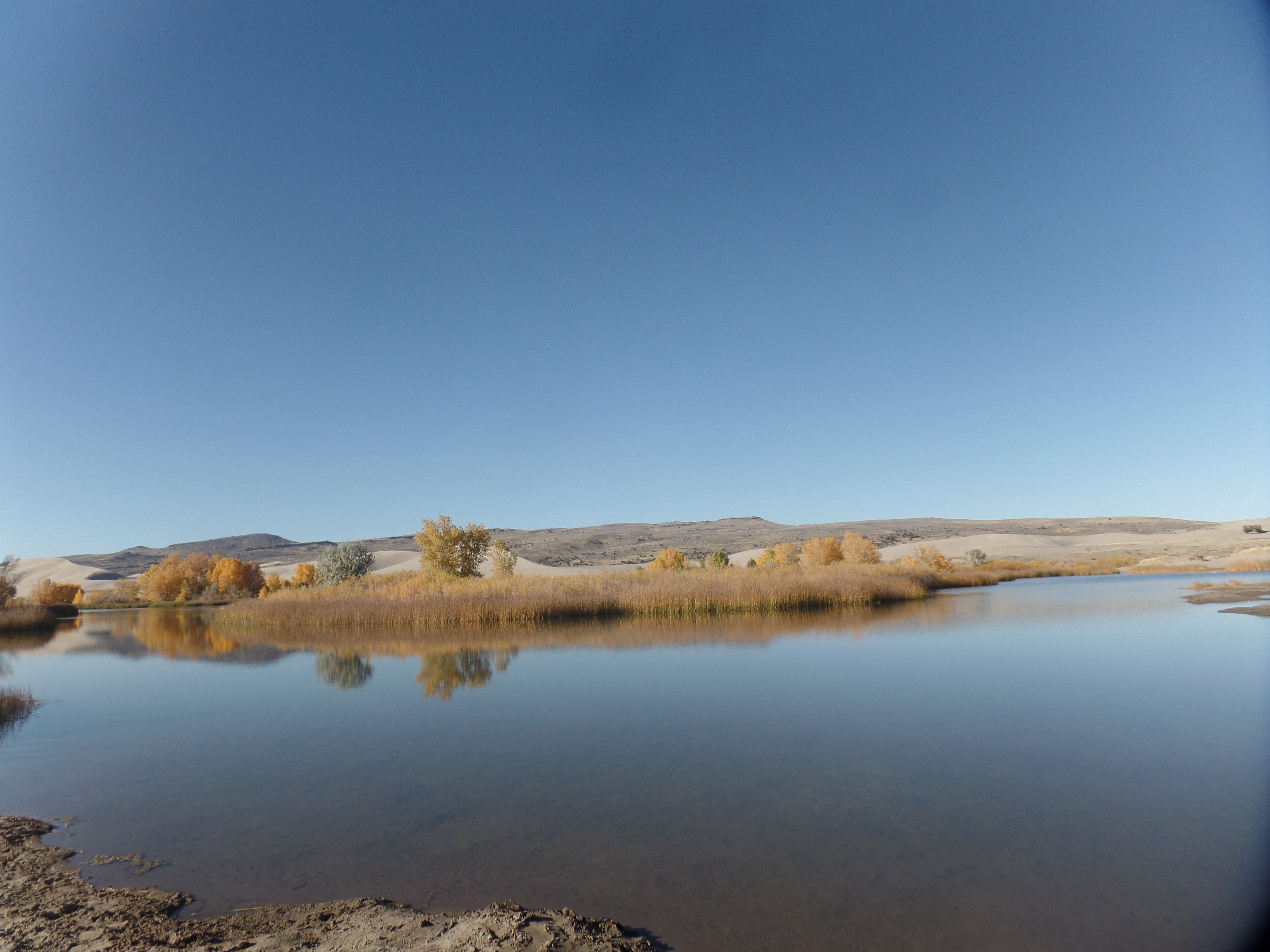
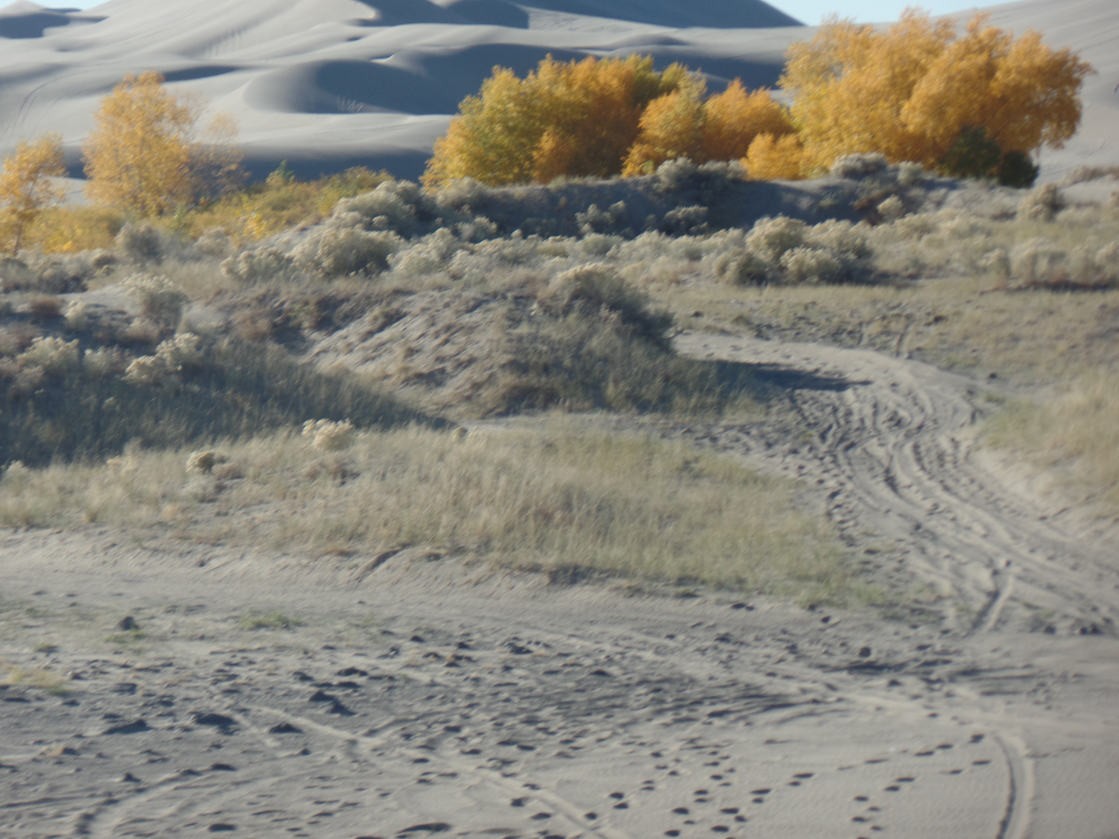
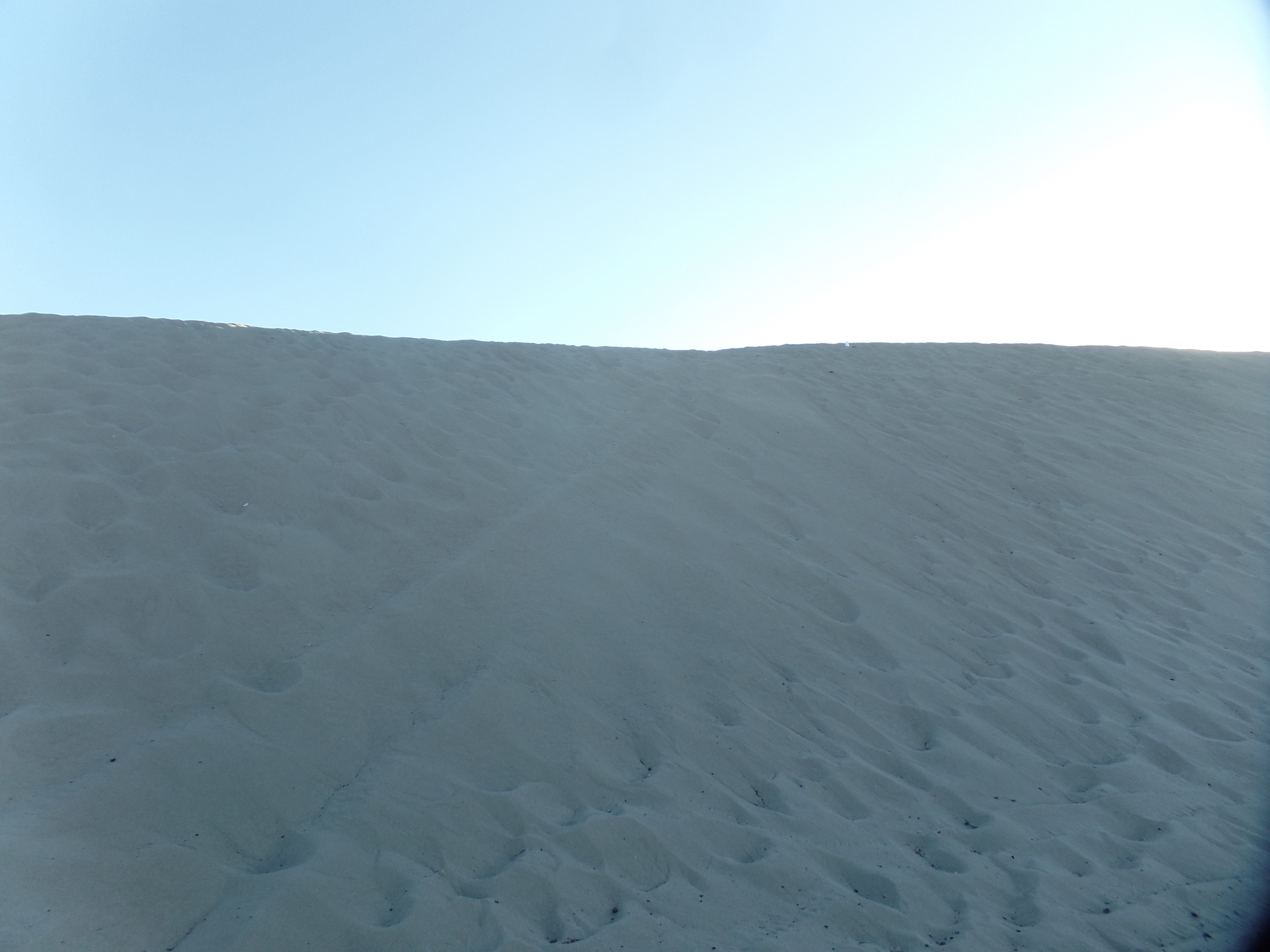
By then, I was off to St. Anthony Sand Dunes, another surprising aspect of the Snake River Plain. The dunes are twelve miles northwest of town, beyond the potato fields that are so synonymous with this swath of central and eastern Idaho. They were the result, it is said, of the shrinkage of several large lakes in the area, as the climate warmed, towards the end of the last Ice Age. The smaller lakes exposed fine sand, which stopped and began to pile up at the foot of the extinct volcanoes known as Juniper Buttes, as well as at older, longitudinal dunes from previous climate shifts. Today, the Dunes range in height from 10 ft. to 500 ft. Those off to the west tend to be higher, and are given names like Choke Cherry and Dead Horse Bowl. As one might expect, ATV users are given paths to follow, through the fine, white sand. The season for ATV use is essentially from April or May to November. The dunes are mostly closed from January to April or May-to allow for dune regeneration and to give the area’s wildlife a rest.

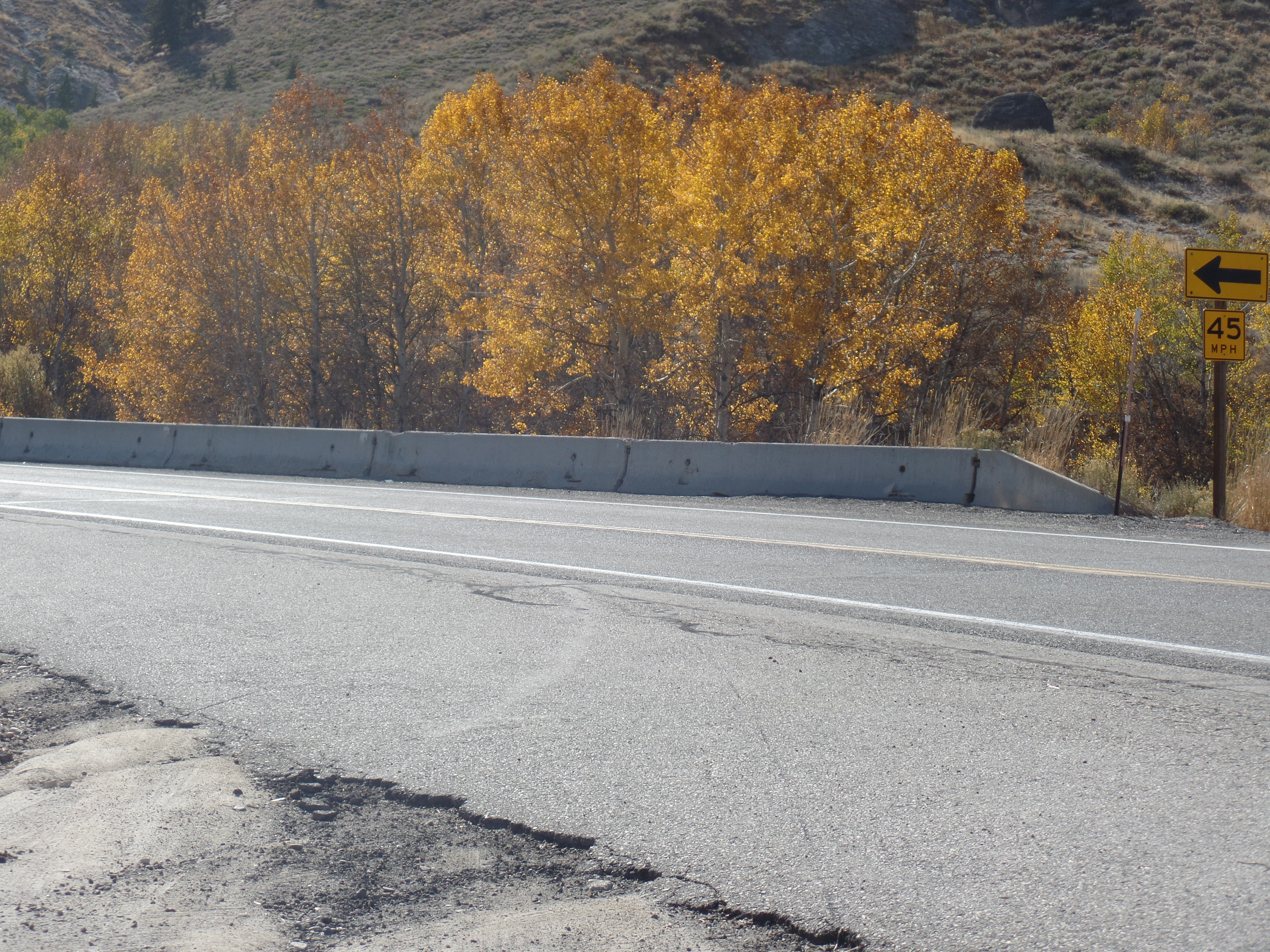
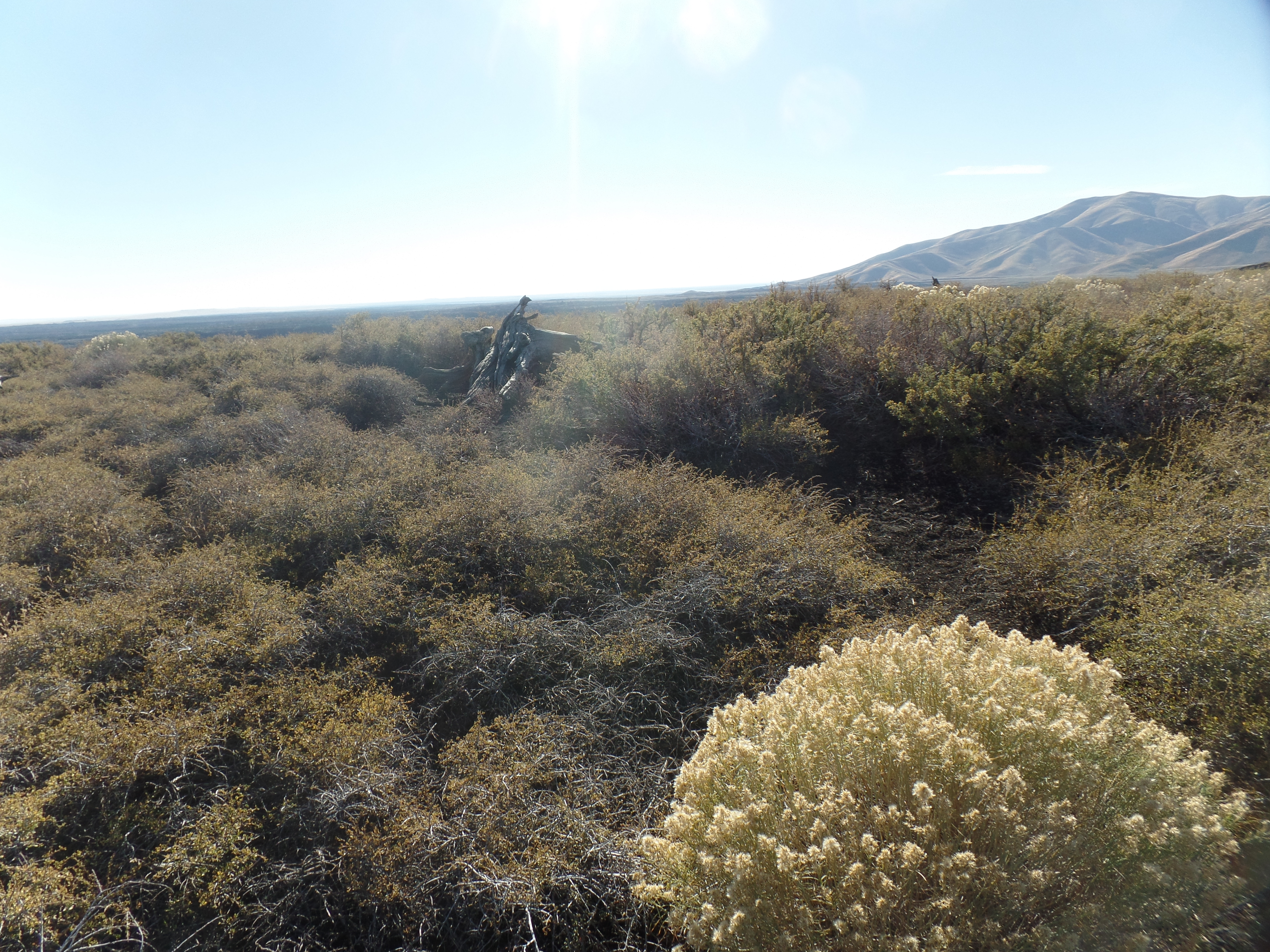
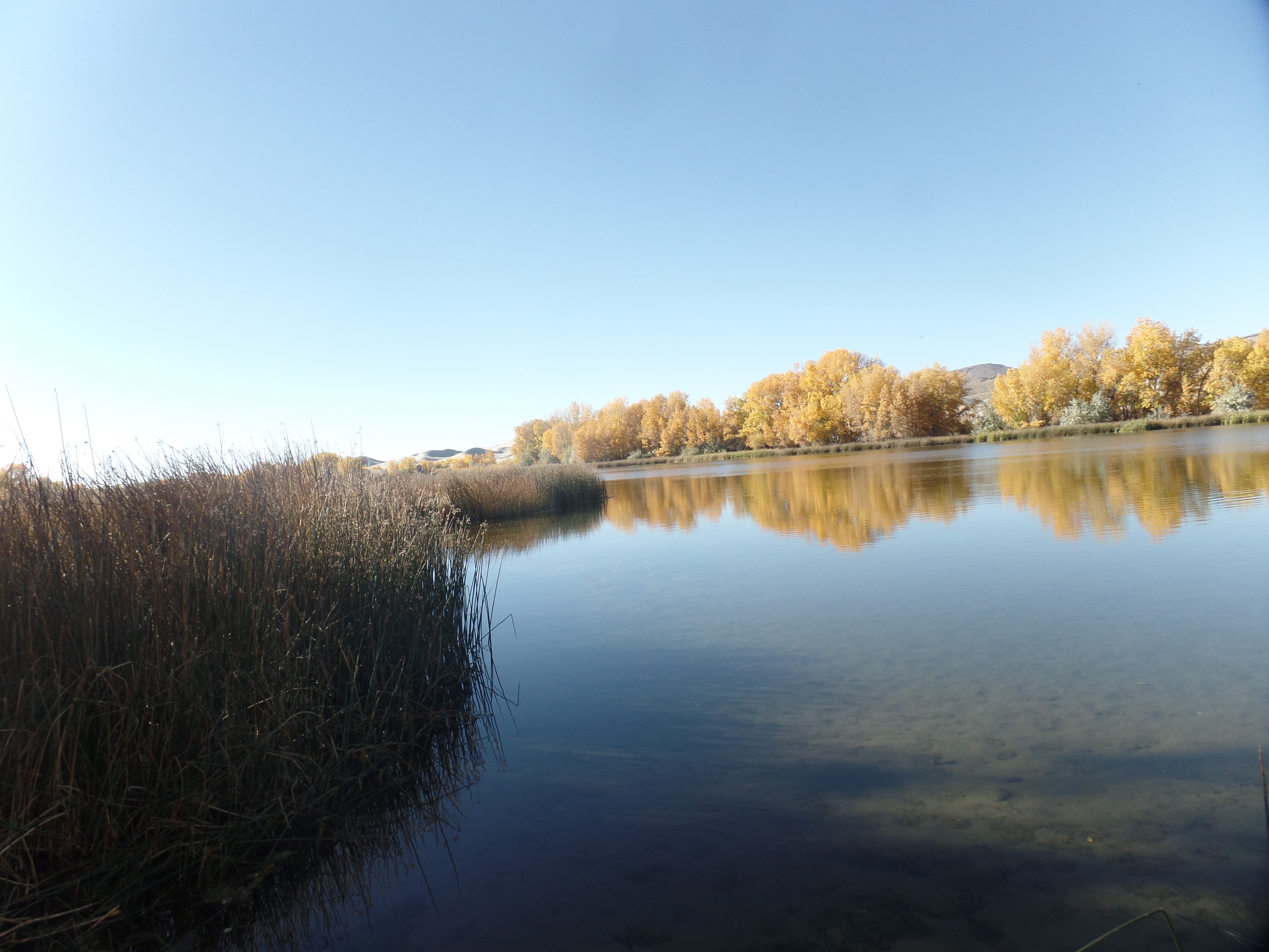
Here are some scenes of the foliage around Egin Lake and of the dunes themselves.

The oaks in transition, at Egin Lake, St. Anthony Sand Dunes
Egin Lake, with oaks across the way
Egin Lake, with both oaks and grass in fall splendor
Eastern dunes
Sage, oaks and sand
High dune, off Red Road (northern sector of the Preserve)
Dunes up against Juniper Buttes, Red Road sector
Up close with high butte, Red Road sector

Once back in town, I stopped at Chrissy’s, a family restaurant a few blocks from Three Bear Inn. They are well into the Halloween spirit. If you look closely, a skeletal parrot and donkey are in the lower background.

Halloween display at Chrissy’s Restaurant, St. Anthony

I got back to Three Bears in time to keep the ducklings company, while the clan went off to a physical education session. It’s been a rejuvenating 1 1/2 days.

The Carson Loop, Day 3: Sea of Lava

2

October 17, 2022, St. Anthony, ID- The boys noted a white ball cap, at the bottom of the small crater. One of them asked if he might shimmy down and retrieve it-which of course brought his father’s gentle but firm negative response. The presence of the family of five was a delightful addition to one of the most impressive flows of lava rock in the continental United States: Craters of the Moon.

This was my main draw to eastern Idaho, with Three Bears Inn, a cozy family home here in St. Anthony, a very close second. Three Bears is a serendipitous find, coming about when someone at Hotels.com misinterpreted my request for a room in St. Anthony, Newfoundland, last June. I was offered a room here, as compensation, for the charge that was incurred then.

The day started, somewhat chilly, in Jordan Valley, with a convenience store breakfast sandwich the only morning meal option. After a fashion, I headed off towards Idaho’s Owyhee Region. The name is a corruption of “Hawai’i”, coming from fur trappers having brought a crew of Native Hawaiians to the area, in 1819. Three of the Hawaiians embarked on an exploration of the Owyhee River’s canyonlands, but never returned to the base camp. The name Owyhee has been bestowed on the area, spanning parts of Oregon, Idaho and Nevada, in their honour.

Owyhee Overlook, Idaho

I continued past Boise, which will be a stop on the way back to Carson City, and found Little Camas Valley, where some of Idaho’s fall foliage was on view.

Oaks of the Little Camas, south central Idaho
Basalt outcropping, Little Camas
Basalt promontory, Little Camas

The presence of so much basalt, all along Highway 20, interrupts the constant presence of sage brush, as does the large presence of agriculture-both corporate and small scale. The Snake River Plain, from Fairfield in the west to Ashton in the east, is a prime potato growing region. Just shy of Arco, however, Craters of the Moon’s lava fields interrupts the farmlands, as much as the soil itself was created and enriched by the flow. This is the bounty of the Great Idaho Rift.

Here are some scenes, north of the actual monument grounds, and along Idaho Route 20.

Lava beds, north and west of North Crater, which is the central point of the Monument.
Lava bed, along Rte. 20

Pioneer Mountains, above the lava beds

Entering the Monument, which focuses on North Crater and its nearby flows, I encountered a family of four, joyfully coming back from a short walk in the lava field across from the Visitor Center. Here is what they saw.

A determined and lonely pine rises above sage and stone.
Older lava flow, at base of North Crater
Dwarf buckwheat is one of the more prolific flowering plants that has adapted to the lava beds.
Inferno Peak, a hikeable cinder cone.

I made the hike to the top of Inferno Peak in ten minutes. There, to greet me, was the Leaning Juniper of the Craters.

Lone juniper, atop Inferno Peak
Resilient sage and mature buckwheat, Inferno Peak summit
Big Craters, from the summit of Inferno Peak

Red cinder, Inferno Peak summit

The last focus of this visit was on the Spatter Cones, small volcanoes-or as one of the little girls present called, “Baby Volcanoes”.

Here was the place where I encountered the family mentioned at the beginning of this post.

Lastly, I stopped at Devil’s Orchard, an otherworldly group of standing lava rock. The place was so named by a visiting Christian preacher, in the early twentieth century.

Basalt standing in Devil’s Orchard

The scope of Craters of the Moon surpasses Arizona’s Sunset Crater, and rivals Lassen. It will be a stop along the way to future visits to Yellowstone and Grand Teton. For now, I settle in for a day or so, with new friends at Three Bears Inn: A strong couple, three sons and a daughter, two cats and two ducklings. Everything is just right.

The Carson Loop, Day 2: New Salt and Old Boulders

2

October 16, 2022, Jordan Valley, OR- William Least Heat Moon would probably find a wealth of interesting things to say about the vast expanse of sagebrush that occupies the Great Basin, from central Nevada, through eastern Oregon, southern Idaho and down into western Utah and parts of Wyoming. Going along U.S. 95, I find the towns and mountains interesting, but the flatlands are just part of the woodwork, so to speak. Were I to camp out in them, for several days, I might feel differently, and come up with detailed descriptions, such as the great man has done with the Kansas grasslands, in his fascinating tome, “Prairy Erth”. Yet, as another great man once wrote, “I have miles to go, before I sleep.”

About a third of the way between Tonopah and Hawthorne, in western Nevada’s outback, there lie the remains of what was likely a mining camp. The foundations of the buildings, easily accessible to all, became for a time the hangout of a group of teens-from either of the two towns mentioned above, or from the small villages of Mina and Luling, which lie a bit north of the ruins. In any event, the colourful graffiti adds an odd splotch of brightness to the monochrome of sagebrush.

Ruins of old camp, near Mina, NV

The other, and somewhat more disturbing, element that breaks the sameness (not monotony) of the landscape is salt. Saline licks and flats have proliferated across the Basin, since I was last through the area in July, 2021. They are larger, in an area south of these ruins, and newly-established along the shores off Walker Lake, to the north of Hawthorne.

Salt flat, north of Tonopah, NV
Salt lick, on south shore of Walker Lake

This type of salinity is toxic to birds and beasts, in its concentrated form. It is also not conducive to a nice day at the beach. It is, moreover, one of the consequences of the current drought and shrinkage affecting many bodies of water, throughout the planet-not just in the American West.

In the end, it was Oregon, not California, which became part of my route. Going north, from Winnemucca, I found myself tooling along the Beaver State’s share of Great Basin sagebrush. Then, just shy of the Idaho state line, lies this tiny community, which once had two motels and a cafe. One of the motels is shuttered and the cafe was locked and empty, but Basque Station and its adjuncts-Jim’s Sinclair and Mrs. Z’s Store are open and they’re glad to see you, even if their outer demeanour is world weary. Jordan Valley is a proud exurb of Boise, 1 1/2 hours away.

Pharmacy Hill, Jordan Valley, OR at dusk
Pharmacy Hill, at daybreak

Pharmacy Hill’s topography is of the ancient rocks that covered our continent in the Pre-Cambrian Era, as life itself was taking root, in the surrounding oceans. It reminds me a lot of the area between Kingman and Las Vegas, the first rocks thrust upwards by the actions of wind and water, which have cast the Grand Canyon. Here, though, the promontory stands by itself, oddly majestic above Jordan Valley. I will have more time, coming back this way in a few days, and may just hike up the Hill.

May mountain and hamlet long thrive.

The Coffee Pot and The Teacup Trail

2

October 13, 2022- The two of us sat on a fairly comfortable rock bench, gazing at a rather bland, but still comforting, sunset. My hiking buddy, Akuura, and I both have an affinity for Sedona, as well as for Prescott. So, we headed out in mid-afternoon, for the express purpose of a hike which would take in the sunset.

The trail scheme we chose started with Teacup Trail, which heads to this spot, more widely known as Coffee Pot Rock.

Coffee Pot Rock (right), in Sugarloaf complex, Sedona
Coffee Pot Rock, close-up

Much of our hike was spent on Sugarloaf Loop, a fairly flat, circuitous route, that goes between the summit of Sugarloaf Mountain and the rock formations that include Coffee Pot. We walked close to, but not up, the short summit trail. HB is still working up to more vigourous trails. Then the route took us back around, towards Coffee Pot, before we looped up to the stone benches that gave us the views of sunset.

One of the delights of any part of the Southwest is that colours seem to change, as the sun gets lower towards the horizon. Here are two views of Chimney Rock, west of Thunder Mountain and Sugarloaf.

Chimney Rock, Sedona, at 4:15 p.m.
Chimney Rock, Sedona, at 5:11 p.m.

Here is the sunset, which bid us farewell, from our perch on the west slope of Sugarloaf.

Sunset, from Sugarloaf Mountain, Sedona

The beauty of the area is evident, and another beautiful aspect is that hiking in the Southwest is like opening Chinese boxes or Matryoshka dolls, there is always another trail, at the end of the one you are walking. There is much to explore, in the months ahead.

“Manitou Likes You!”

2

September 2, 2022, Colorado Springs- After edging along I-25, due to an unfortunate collision, I made a detour over to Manitou Springs, a most pleasant town west of Garden of the Gods and north of Seven Falls, as well as being a gateway to Pikes Peak. My once favoured lunch spot there, Hearts of Jerusalem, closed during the COVID period. In its place is Good Karma Coffee House and Deli, a thoroughly delightful husband and wife-operated spot, with a short, but well-conceived menu. After an “Inside-Out Grilled Cheese”, I walked on over to The Taos Maos gift shop and bought a nicely-made wind chime, which will accompany another that will get from Arcosanti, in a few weeks. Maos is as interesting as its name implies, and has small items that can enhance even the simplest home.

After that was done, I remarked to the parking lot attendants, two very agreeable and helpful ladies, how much I like Manitou. Their response was: “Manitou likes you!” Moments like that are always affirming. I got up to La Foret Conference and Retreat Center, just northeast of downtown Colorado Springs, in mid-afternoon, and checked in to Colorado East Baha’i School an hour early. We began study and discussion of meaningful social action, this evening and will continue over the next 2.5 days.

I am in a comfortable little cabin, with one roommate-a nice gentleman, and six other cabin mates, all very considerate and agreeable people. There is an abundance of children and teenagers here, also very considerate and high-functioning people. As we are preparing to get ready for sleep, thunder and lightning are all around us. Rain has come to CS to the first time in two weeks, a welcome easterly extension of the monsoon.

I bid you all good night, with a scene from Manitou Springs and one from La Foret.

Yes, Manitou is ONE of Colorado’s Christmas cities.
Inglis Hall, named for La Foret’s founders.

Highway 160, Old and New

2

September 1, 2022, Walsenburg, CO- The message outside the Bistro was endearing: “In the quilt of life, friends are the sticks that hold the quilt together.” The Farm Bistro, in downtown Cortez, is a place that I have patronized each time, save one, that I have been in Colorado’s southwestern commercial hub, since 2015. What matters to me, about a business establishment, even more than its products, is the reception I get when I enter and how I am treated while there. The Farm Bistro excels in that regard. Heck, the manager even gave me a peanut butter cookie for having been patient while the staff was serving a tour group. As long as we have eyes, ears and hearts, it pays to use them in a way that reassures others that their efforts matter.

I left Kayenta, an hour or so southwest of Cortez, after a delightful breakfast, courtesy of Hampton Inn. Across the highway from the hotel, the full geologic variety of Kayenta is in view. There were numerous families, of different compositions and sizes, in the wing where I stayed, but all were quiet and considerate. The Navajo Nation is a place where face masks are still required in public, so there I was with an N-95. At least we don’t have to pull them up and down, with every bite or sip.

Before going to The Farm, I noticed a man sitting on the corner of a gas station lot. He had a sign that read: “It’s my birthday. Any little bit helps, and God bless.” This was a new one, and even though I normally don’t hand money to sign-bearers, the notion resonated that this was a real birthday of a human being, and he had one other companion, who was bringing him a ball cap, food and water. I gave him a bill and was thanked profusely. Then, I went and enjoyed a Yak Burger and salad at The Farm Bistro.

Going past Durango and Pagosa Springs, I came to Treasure Falls, a small preserve at the foot of Wolf Creek Pass’s formidable ascent. I had stopped briefly at the bottom viewpoint of this small cascade, a few times. Today, I hiked up to the Falls topmost viewpoint, where on a good day, one can feel the spray. Colorado has not had as much rain as Arizona and Nevada, this monsoon, so the Falls were not as potent as they have been in past years.

Nonetheless, the hike energized me, in the warm mid-afternoon, far more than an iced coffee would have.

I was a bit tired here, but the rest of the hike was energizing-and unlike some other walks I’ve taken, I stayed on the established path. A group of other men did not-and advised against following their route.

This poor little one was struggling in the afternoon heat.

Once back on the road, it was an easy drive up and over Wolf Creek Pass. I spotted an overturned semi-trailer, on the opposite side of the road, with a large sign that said “KEEP OUT!”. My guess is that it has been laying there for some days now. I drove on, through South Fork, Del Norte, Monte Vista and Alamosa, before dinner time came-and I stopped at Lu’s Main Street Cafe, Blanca. Milynn served up a sharp and well-prepared Stuffed Sopapilla. It is a fabulous place to dine, and a worthy replacement for Del’s Diner, in nearby Fort Garland, which closed during the pandemic and now sits, looking forlorn and sad, at the east end of town. My only caveat about Lu’s is that the waitresses are high school students and closing time, on a school night, is around 6:30. They at least take their schedule as seriously as they do their jobs. Milynn and her co-worker were pleasant, but made it clear that they needed to get done soon. Nonetheless, when I come this way again, I will stop at Lu’s, hopefully earlier than I did this evening.

I got into Walsenburg, about an hour later, settling in to Anchor Motel. Other than a brief, but loud, dispute between two apparently drunken men, the place has been quiet. Walsenburg is a businesslike, but friendly, town.

Joy In A Sea of Sand

2

August 31, 2022, Kayenta- I looked at the normally dry Red Lake, about fifty miles southwest of here, and was amazed to see it full! Traffic and lack of a safe place to pull off kept me from photographing the scene, but seasonal lakes are a definite joy to behold.

I am here, on the way to southern Colorado, and the Colorado East Baha’i Summer School, to which I was invited a month or so ago. There are always numerous visual delights on this route, US Highway 160, which starts near Tuba City and continues eastward, to near Poplar Bluff, Missouri. I have been on the route, as far east as Pittsburg, Kansas.

The Badlands, grasslands and Hoodoo country, from Cameron, AZ to the Ute town of Towaoc, Colorado seem energized and rejuvenated by this year’s specially productive monsoon rains. Even those areas normally devoid of vegetation are showing a certain lively energy. The sandy wonderland that is Monument Valley finds its southwestern terminus here, in this small but vibrant Dineh community. So, I have stopped here for the evening, as being among Dineh people has augured well for me, at the start of any journey-whether within the Southwest or transcontinental.

Monument Valley is a sea of sand, but what marvels that sand has helped create, with help from wind and water! I will begin tomorrow with a few photos and meditations of joy.

Hiatus for The Rushing Streams

4

August 29, 2022- Lynx Creek was impassible, as friend Akuura and I looked out over it, on a short hike celebrating a break in the monsoon. That is okay by me, as the creeks and streams of our area need to have a high flow, if for no other reason than to ever so slightly raise the water table, and flow level of the rivers into which they feed: Agua Fria, Verde and Bill Williams (which in turn feeds into the Colorado River.)

The monsoon itself is on hiatus, with sunny weather predicted from now until Friday, when there are expected to be more storms throughout the weekend. Next week, from Labor Day until Thursday, 9/8, will bring another hiatus, then more monsoon rains, the following weekend. Still and all, this summer has brought the best monsoon we’ve had here in many a year.

Here are some Lynx Creek scenes.

This was at the west end of a residential area.
Scene just off a Forest Service road, in Salida Gulch area
Upstream, in Salida Gulch

Where a cross-creek trail washed out

This area is one of those in which I have spent little time, up to now. It is definitely worth more exploration, in the weeks of early October and those of November.

I returned to a frequent haunt today, finding that the return of hot sunny days affects some adults and children in a not altogether pleasant way. I sense that humidity makes many people disagreeable-and there is also the difficulty that some have with sleeping, on sultry nights. I am fortunate to have ceiling fans that keep my sleep patterns from being interrupted. There is AC, in a pinch, but I try to keep the use of that to a minimum. Other people, particularly in high rise apartment buildings and in older houses,are not so fortunate.

I like the idea of living each day to the fullest, though, regardless of weather.

Back to the Woods

4

July 21, 2022- So begins an unusual four days. I will shortly head up towards Bellemont Baha’i School, for the first of two kitchen helper sessions, (today and tomorrow), with the next being July 30-31. Getting back tomorrow night, then Saturday and part of Sunday will be spent caring for 15 pounds of lovable, if willful, white fur.

I have had an affinity for Bellemont, since I first visited in 1981. Back then, only “primitive” (tent) camping was an option. The only motels or hotels were 20 miles away, in either Flagstaff to the east or Williams to the west. The kitchen, so to speak, was an outdoor “chuckwagon” set-up. People sat around, well into the night, and engaged in deep conversations, many of them of a spiritual nature.

Nowadays, we have a state-of-the-art, enclosed kitchen. There are cabins, for male and female attendees. There is a bathhouse-with male and female facilities. The old green cabin, one of the original classrooms, has been renovated and still serves as a study center. The library, above the bathhouse, is an ancillary classroom. The main clients, these days, are adolescents, aged 11-14. I have helped out, off and on, for three years now. (2020 was a hiatus for everyone), with the camps-from the Spring cleanup to the Fall breakdown, and as many camps as my other activities allow, over the summer.

The kids are wonderful and several longtime Baha’i friends comprise the staff, so it makes for a time of vigourous, but enjoyable activity. I will be offline until tomorrow night; thus, this early post.

Golden Wrap-up

2

July 17, 2022- Upon the conclusion of each journey I’ve taken, since 2011, at least one family member asks “What was the highlight of your trip?” I can most often rattle off something that stands out, yet there is, truth be known, more than one highlight-especially when I’ve been away from Home Base for a month.

The two anchors, as it stands, were the first stop, Homolovi State Park, where I returned an arrowhead to its guardians, the ancestors of the Hopi people, and L’Anse aux Meadows, where the first Europeans of record met the Indigenous people of the Americas. It would seem an ironic twist to have laid the artifact back in sacred soil, when so much of the San Francisco Peaks, an area holy to many First Nations people, was under siege from a fire, apparently ignited by a random camper trying to burn his refuse. It was my first instruction from my spirit guides.

From there, the road presented a mix of family and friend visits, with stops at places of historical, social, natural and spiritual significance. The historical gems included Marland Mansion, in Ponca City, OK; Prescott, ON Riverwalk; St,. Joseph’s Oratory, Montreal; Provincial Assembly Building, Fredericton, NB; Shediac, NB; the villages and towns along the Cabot Trail, NS-especially Cheticamp and Ingonish; L’Anse aux Meadows, NL; St. Croix Island International Peace Monument, ME; State Capitol, Nashville TN. These, of course, each have natural features that add luster to the historical aspects of the place. This is especially true of L’Anse aux Meadows, with its stark subarctic and maritime beauty.

The natural treasures also included Lake Ontario Park, Kingston, ON; Moosehead Lake, Greenville, ME; Wilmot Park, Fredericton; Bras d’Or Lake and Cape Breton Highlands, NS; Gros Morne and Terra Nova National Parks, NL; Pippy Park, St; John’s, NL; Deer Lake Park, NL; Fundy National Park, NB; anywhere along the coast of Maine; Natchez Trace Parkway, TN. and of course, the open Atlantic Ocean.

Spiritually, I felt especially at ease in and around the Baha’i House of Worship, Wilmette, IL ; Lake Ontario Park; St. Lawrence Riverwalk, Prescott, ON; Waterfront Park, Shediac; looking out anywhere along Bras d’Or Lake; Grand Faillante, French Mountain and Green Cove, Cape Breton Highlands; Matthew Head, Fundy National Park; Green Acre Baha’i School, Eliot, ME; Natchez Trace; and Centennial Park, Nashville.

Socially, my family and I were there for one another, in Sarcoxie, MO; Boothbay Harbor, ME; Saugus and Lynnfield, MA; Exton, PA and Grapevine, TX. Likewise, long-time friends in Enid, OK; Mishawaka, IN; Oley, PA; Crossville, TN; Amarillo, TX and Moriarty, NM made travel a lot lighter. I also feel like lasting new friendships were made in Montreal; McAdam, NB; Wycocomagh, Bras d’Or Village and Eskasoni, NS; Doyles, St.Lunaire-Griquet and Grand Bank, NL; Jonesboro and Perry, ME (the last, as long as the cranky restaurant owner isn’t around); Hohenwald, TN and Tallulah, LA. I missed friends in Wilkes-Barre and Bedford, PA; Harrisonburg, VA; Wildersville, TN; other family members in Maine, Massachusetts and Pennsylvania- and I will see them again. The purpose in all this journeying is indeed to “make new friends and keep the old”, as the old children’s tune goes.

For the time being, I will quickly get back into life here at Home Base. Baha’i camp, near Flagstaff, a day of dog-sitting and whatever else surfaces will keep me in peace and harmony for the rest of July. We’ll talk about August and September, a little later.