The differences remain, between me and most others in my life, and that’s okay. I was raised by two people who were polar opposites, in many ways, and I was, likewise, much different from Penny, in several areas.
I don’t deem it necessary to send “Good morning, have a nice day!” messages to people on social media. Some of my friends do, and I will never blow them off. Common courtesy was instilled in me, so despite my setting a plan for myself each day, random messages will be addressed, as soon as possible after they are sent me.
I don’t consider myself a follower of any living person or member of any political movement. There is truth to be gleaned, from across the spectrum, and there are ideas and policies that both sides advocate, which are not fit for our times, either because they are outmoded or because the human race is not ready for them, as yet. I support those ideas that are good for the planet and for the well-being of humanity.
I believe in a Creator. Some don’t, preferring to think that the Universe was self-creating. I don’t believe that a physical Being did the creating, but that there is an eternal Life Force behind it all. I believe there has always been a moral code-be it called Golden Rule, Ten Commandments or Eight-Fold Path. This code is accompanied by social laws, which are changed to fit the needs of the time in which people live. Thus, Progressive Revelation comes from the same Source Who sent Krishna, Zarathustra, Moses, Gautama Siddhartha, Jesus the Christ, Mohammed and al-Bab, and Who has most recently sent Baha’u’llah. The Source never sent Satan-which is in fact a personification of our own lower nature. Others believe differently. There is no harm in that. We all get to grow and move, at our own pace.
The bottom line is, I love; far from perfectly, but I love.
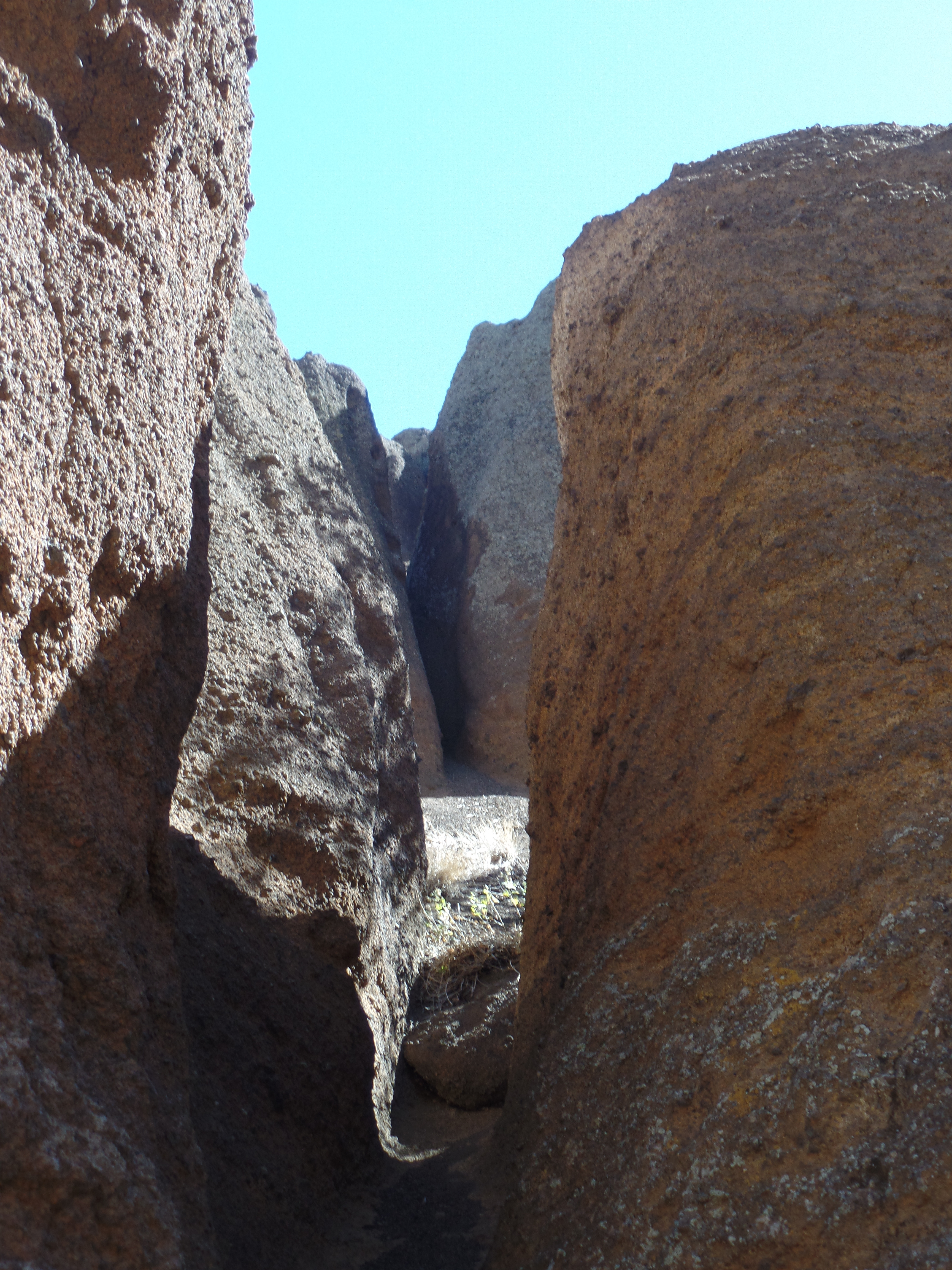
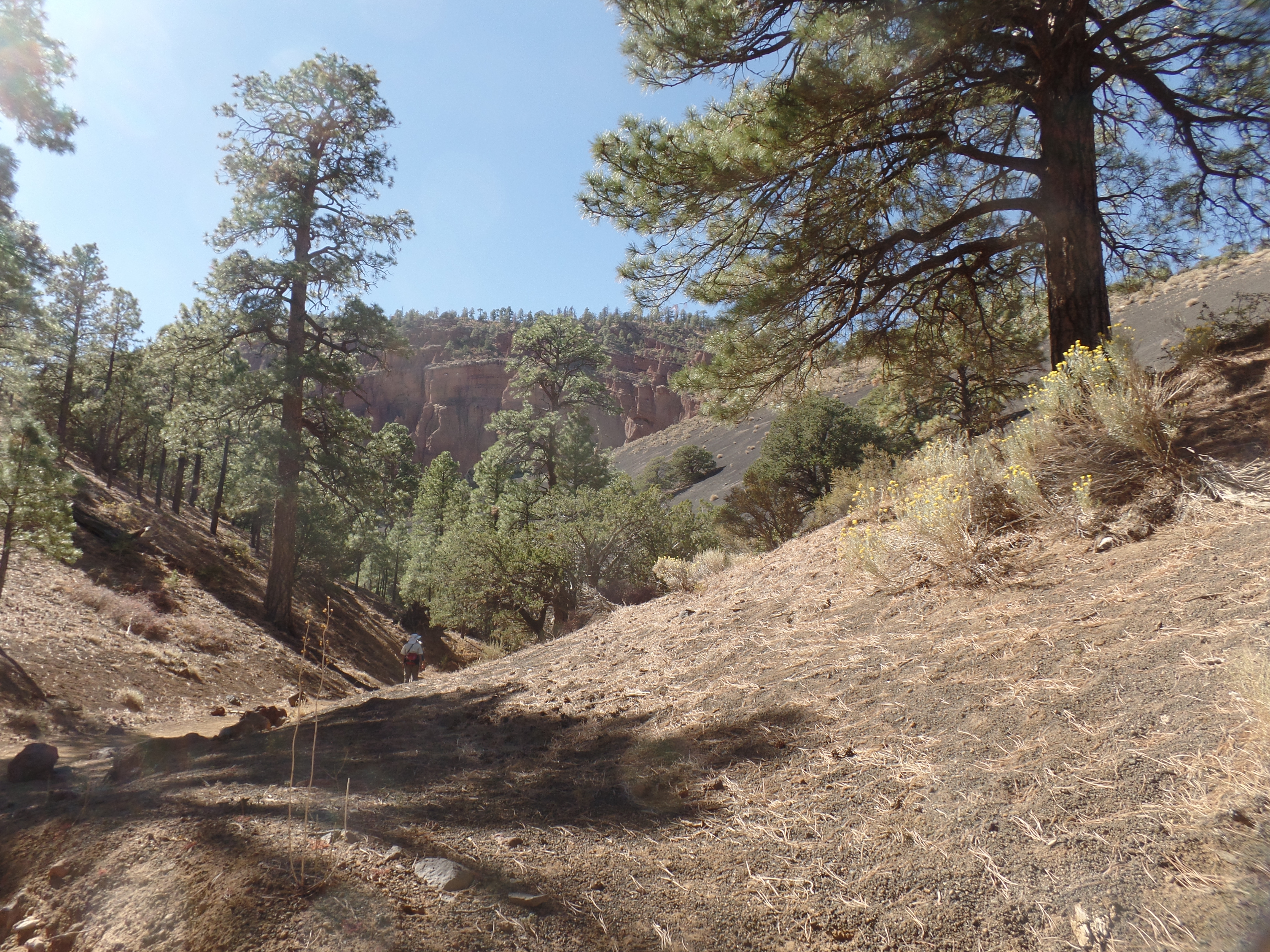
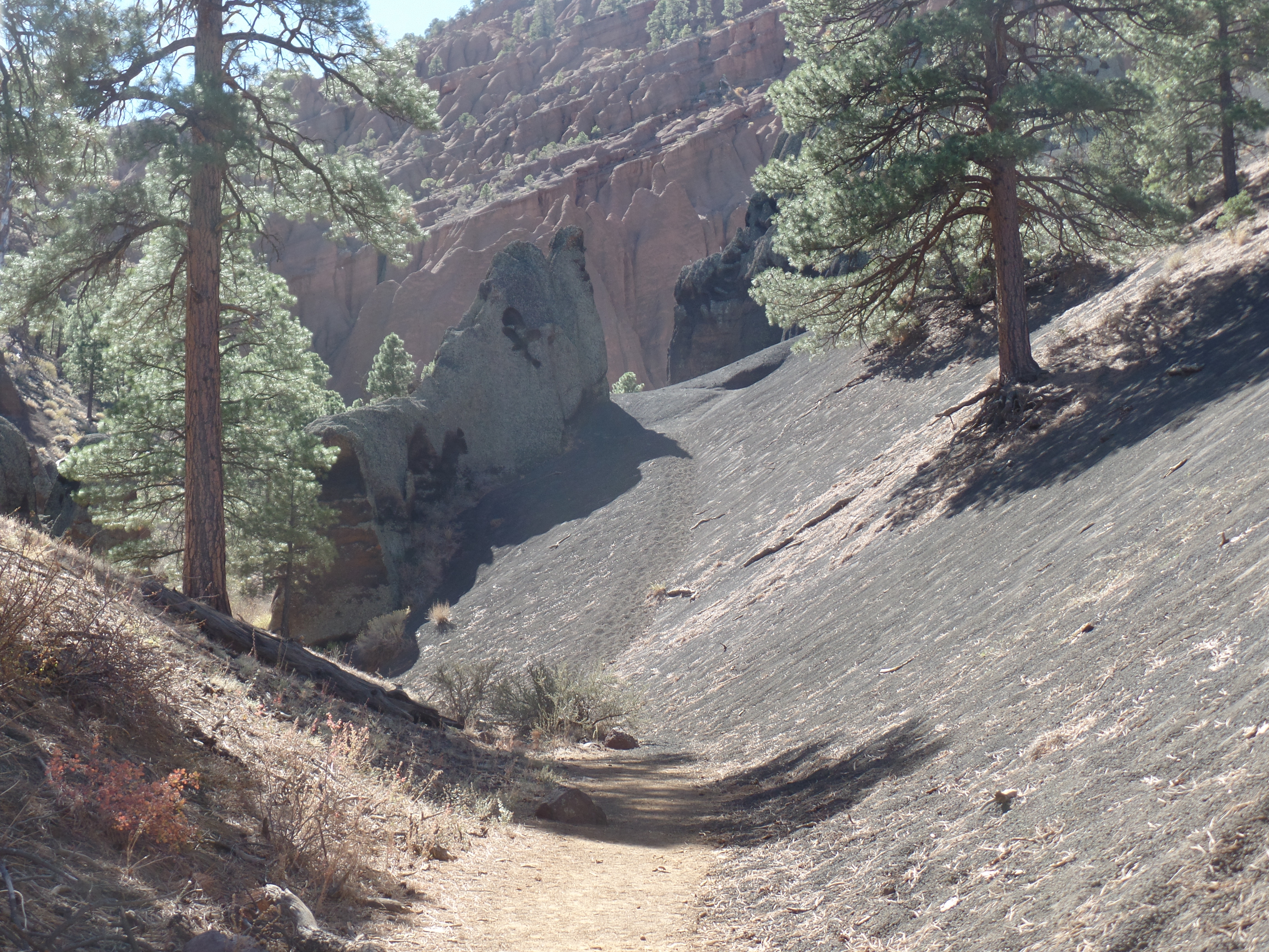
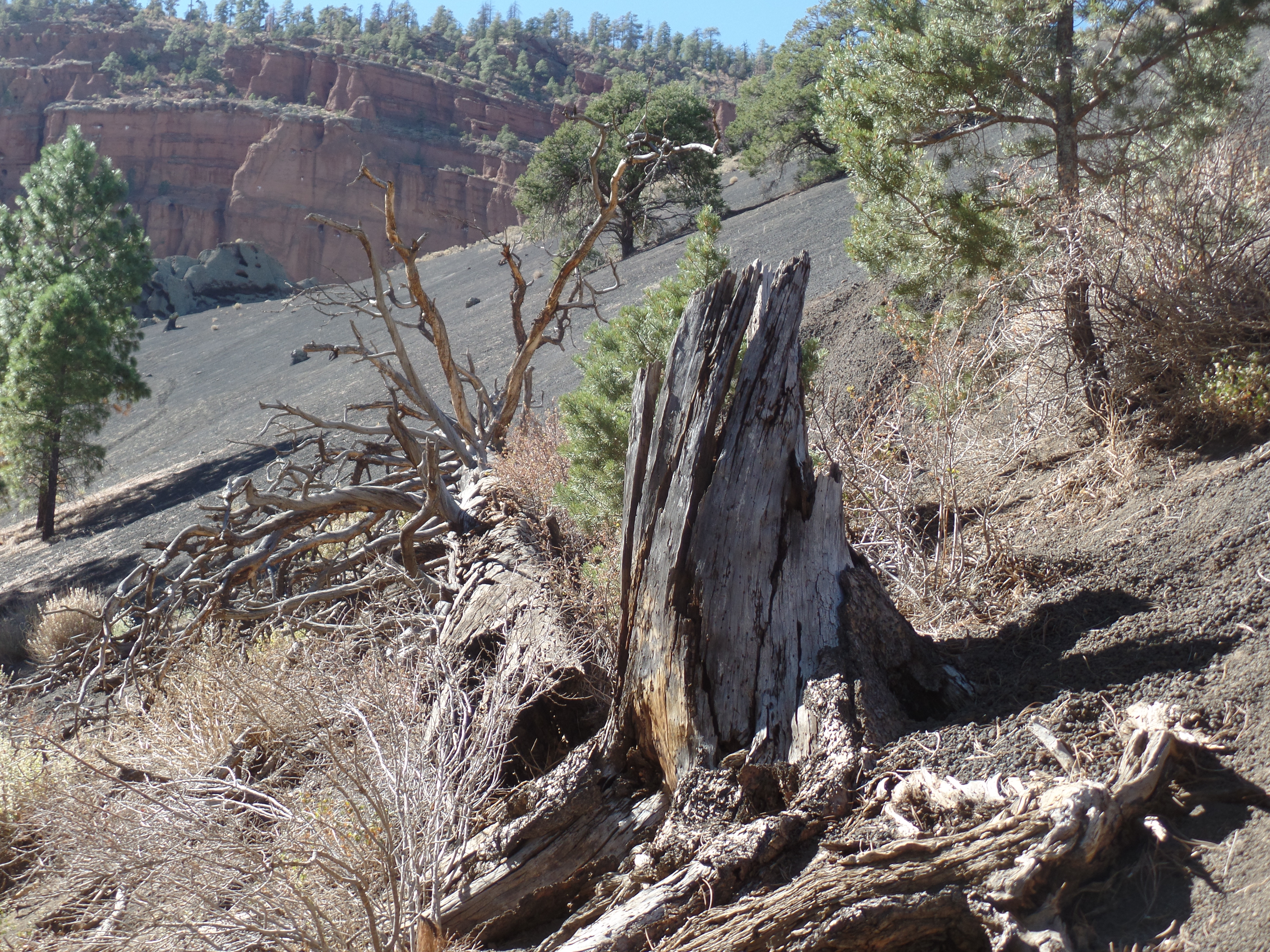
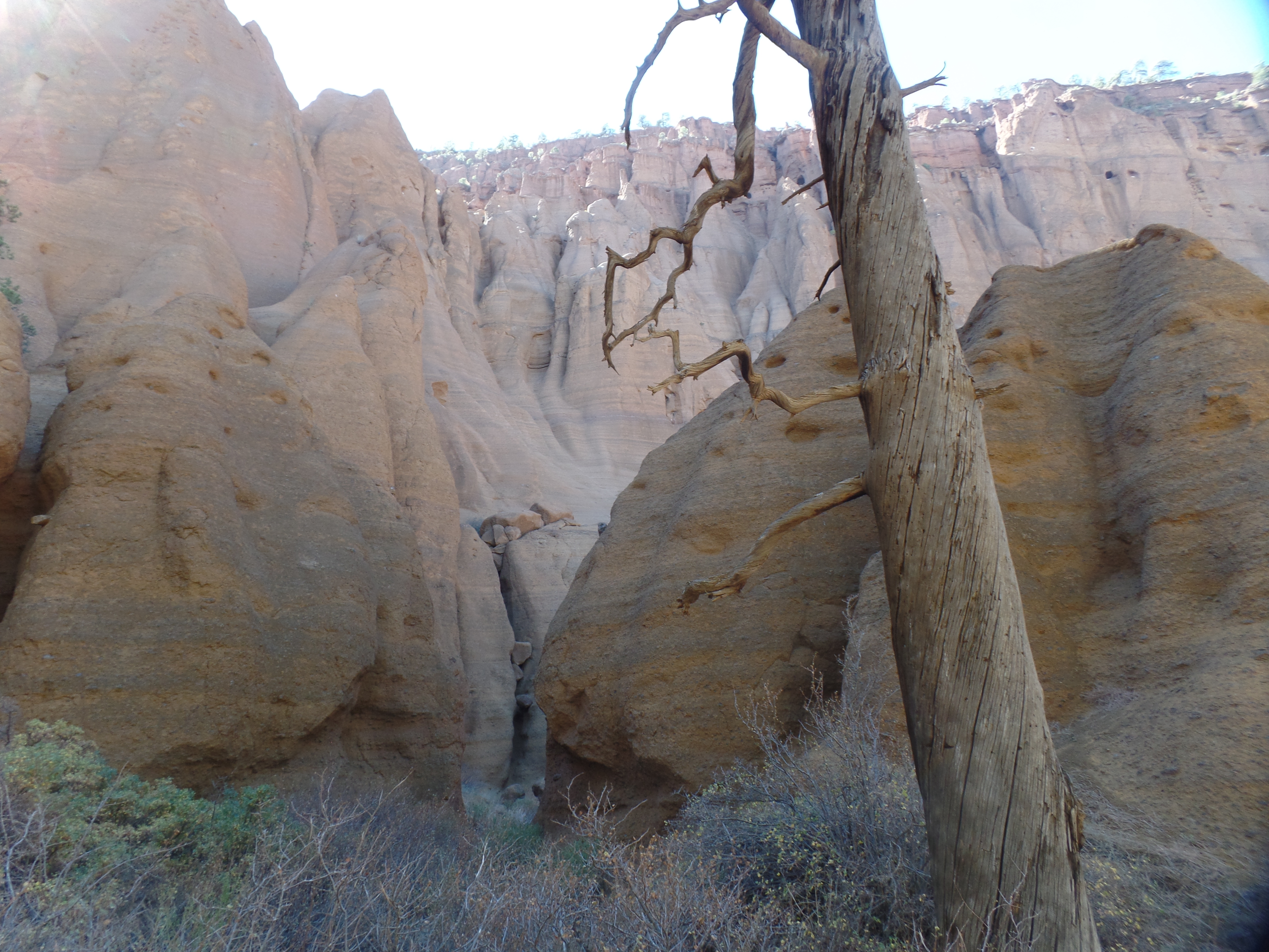
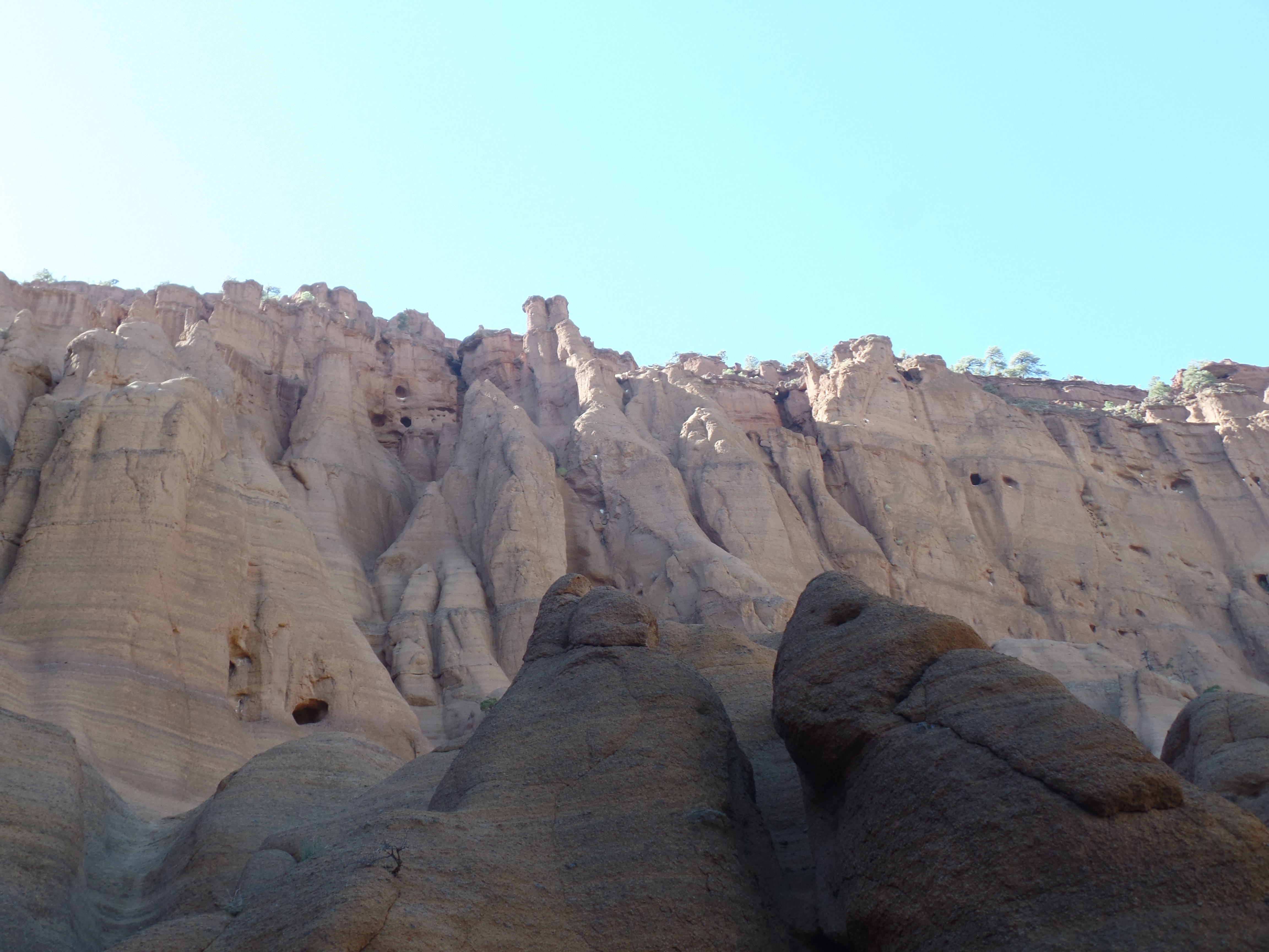
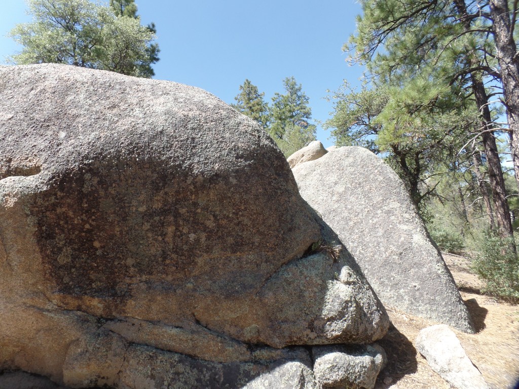
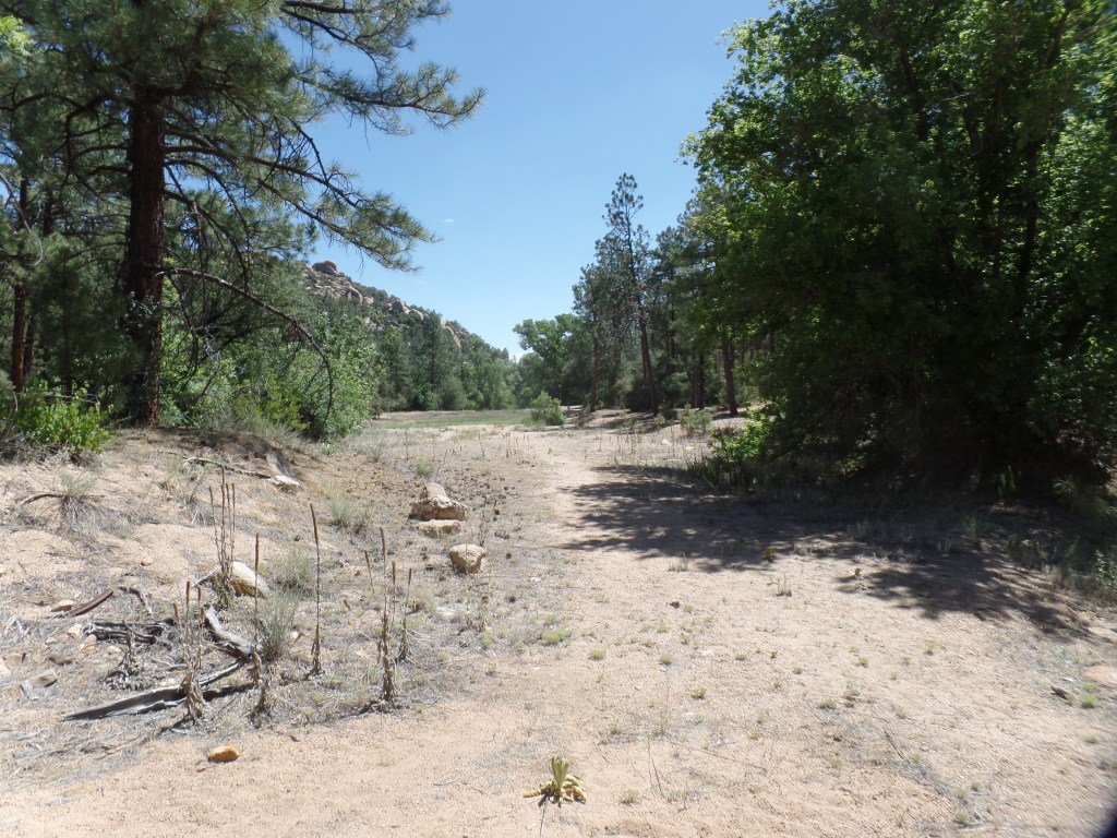
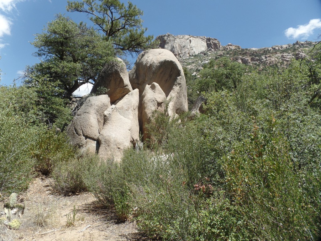
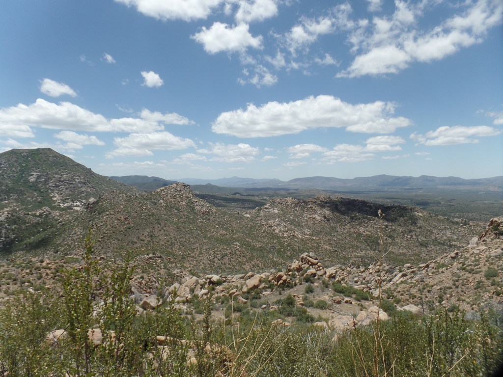
I have had a request for more photos of Red Mountain, so here are three more.
The Bull ElephantA Mystery TrailAnother Fortress and More Guardians
It wasn’t a long absence from Home Base, especially in light of a wildfire that may require some attention, this weekend. I did, however, make good on a visit to northern Arizona’s “other” Red Mountain-this one about halfway between Valle and Flagstaff, on US Highway 180.
I began the day with a run to Tusayan, the service town that lies just outside Grand Canyon National Park. That was entirely to get some cash, which I had neglected to do in Williams, yesterday afternoon. With cash comes a gratuity for the motel maid, who has things extra difficult-dealing with the POSSIBILITY that some guests may not be conscientious regarding traveling whilst ill.
Saying good bye to Grand Canyon Inn, I headed southeast and found Red Mountain to be quite popular, on this tail end of Fall Break. An easy 1.2 mile walk, from the trailhead to a short ladder, leads to a mini-wonderland, not unlike the larger area of spires, hoodoos and expansive sandstone cliffs found in Bryce Canyon, Utah.
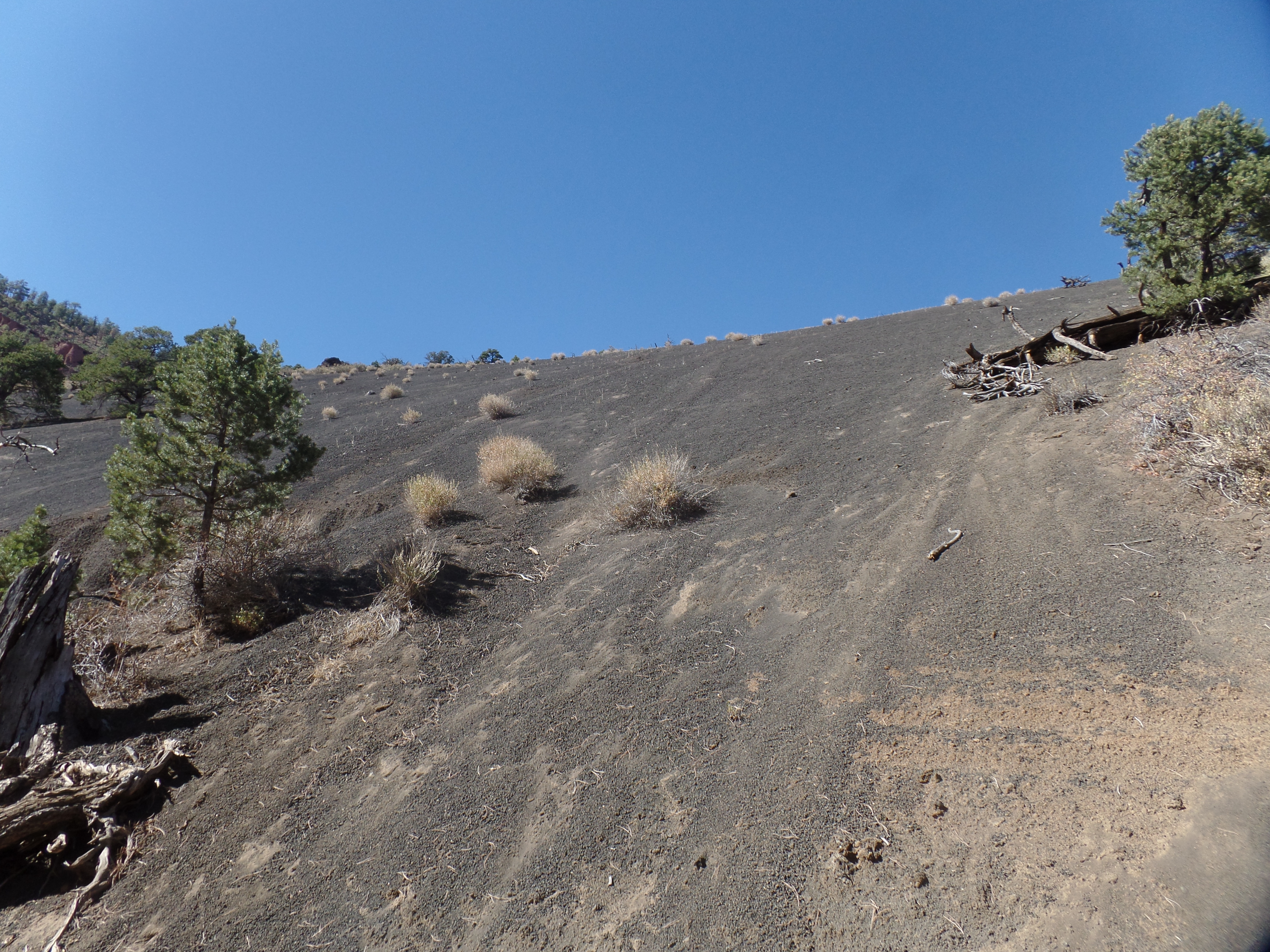
Red Mountain is a cinder cone, with volcanic ash covering the cinders, thus forming many of the hoodoos which grace its northern base. Slippery volcanic dust and pebbles form the groundcover, making it important to mind one’s steps. It was understood, by everyone present, to stay off the rocks themselves, which are clearly delicate.
Here are several scenes of the trail and of the Volcanic Park.
The 1.5 mile trail begins in this juniper grove.A southward view of Red Mountain.Red Mountain is the westernmost peak in the San Francisco Volcanic Field. Abineau Peak neighbours it to the southeast.This scene points out the rugged nature of the terrain. Volcanic soil is rich, but is not thick.Kids of all ages may be tempted to go up, and slide down, here, It is a very treacherous ledge and climbing is forbidden.Cinder hoodoos, covered in black ash.Ponderosa pines, the tallest trees in Arizona, sometimes have fallen victim to volcanic dust clouds that get whipped up in storms. Fire is also a danger.Some of the stones evoke elephant images.This volcanic box canyon is lined with basalt spires like these.Every path has its guardians.Sand, piled up in the box canyon, gradually hardened and formed these “busts”.These crevices, as yet, do not go very far.Older crevices, though, present a temptation to get oneself stuck.Here is one end of the box canyon.Here is a ledge of hoodoos, representing the other end of the canyon.
On my way out, I met a young family who were exploring the approaches to the box canyon, at the child’s own pace. The little girl asked me how to get up “Mystery Mountain”. I told her the ledge she was trying to get up could be the first Mystery Mountain and there were many more. (She was, with Mommy’s help, about two feet up.)
It is for moments like this, as much as anything else, that I go forth to see my own Mystery places.
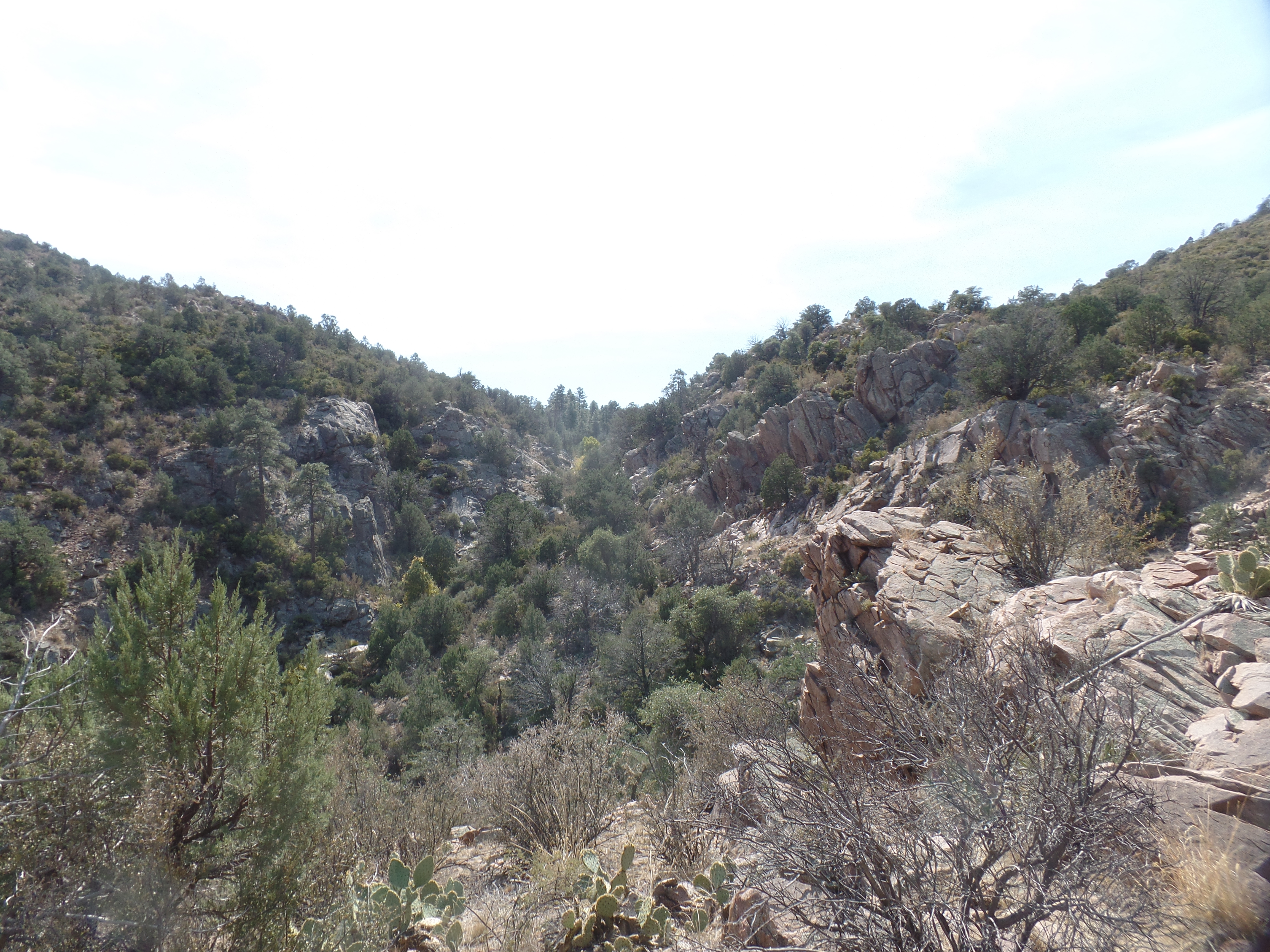
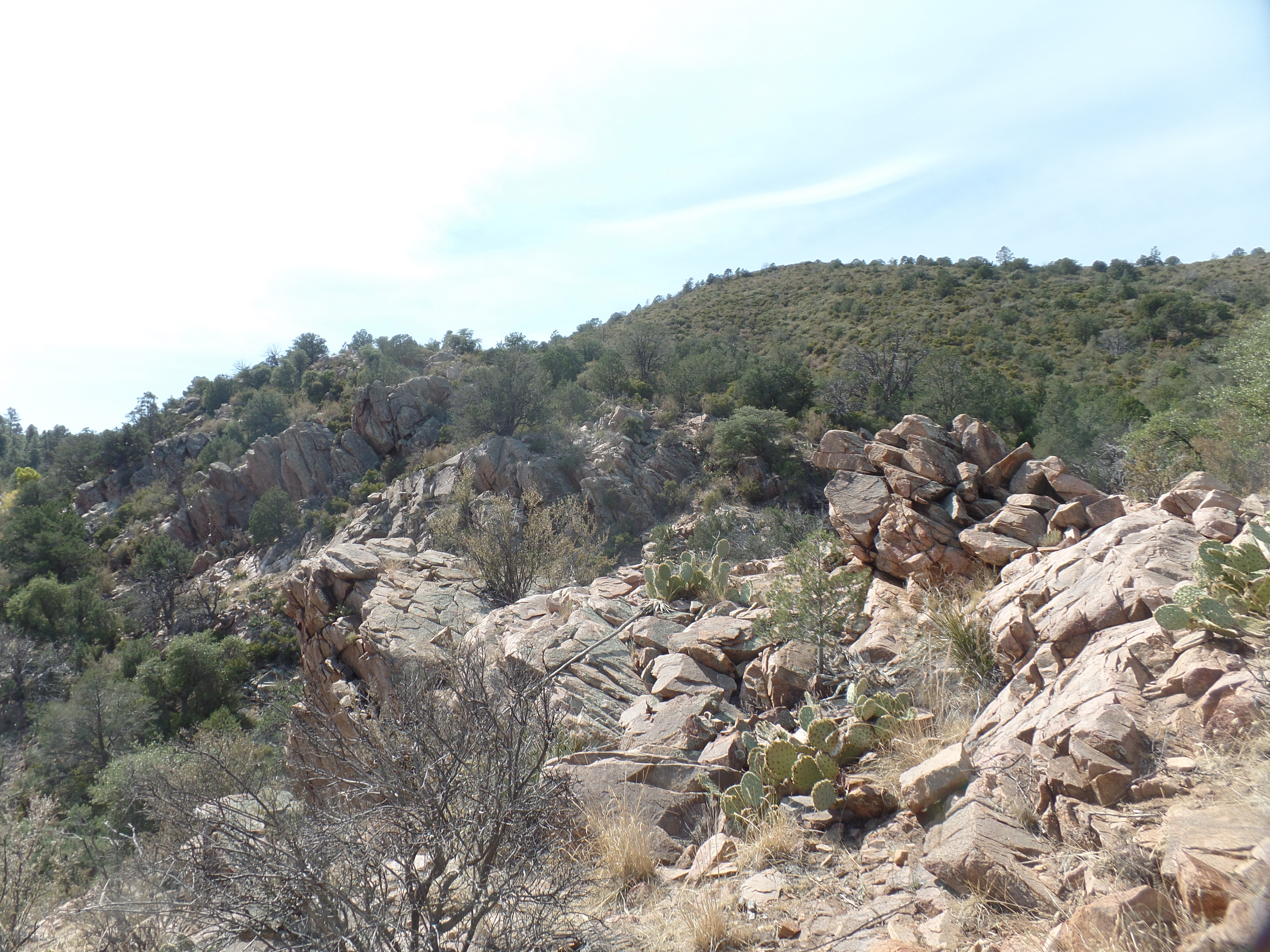
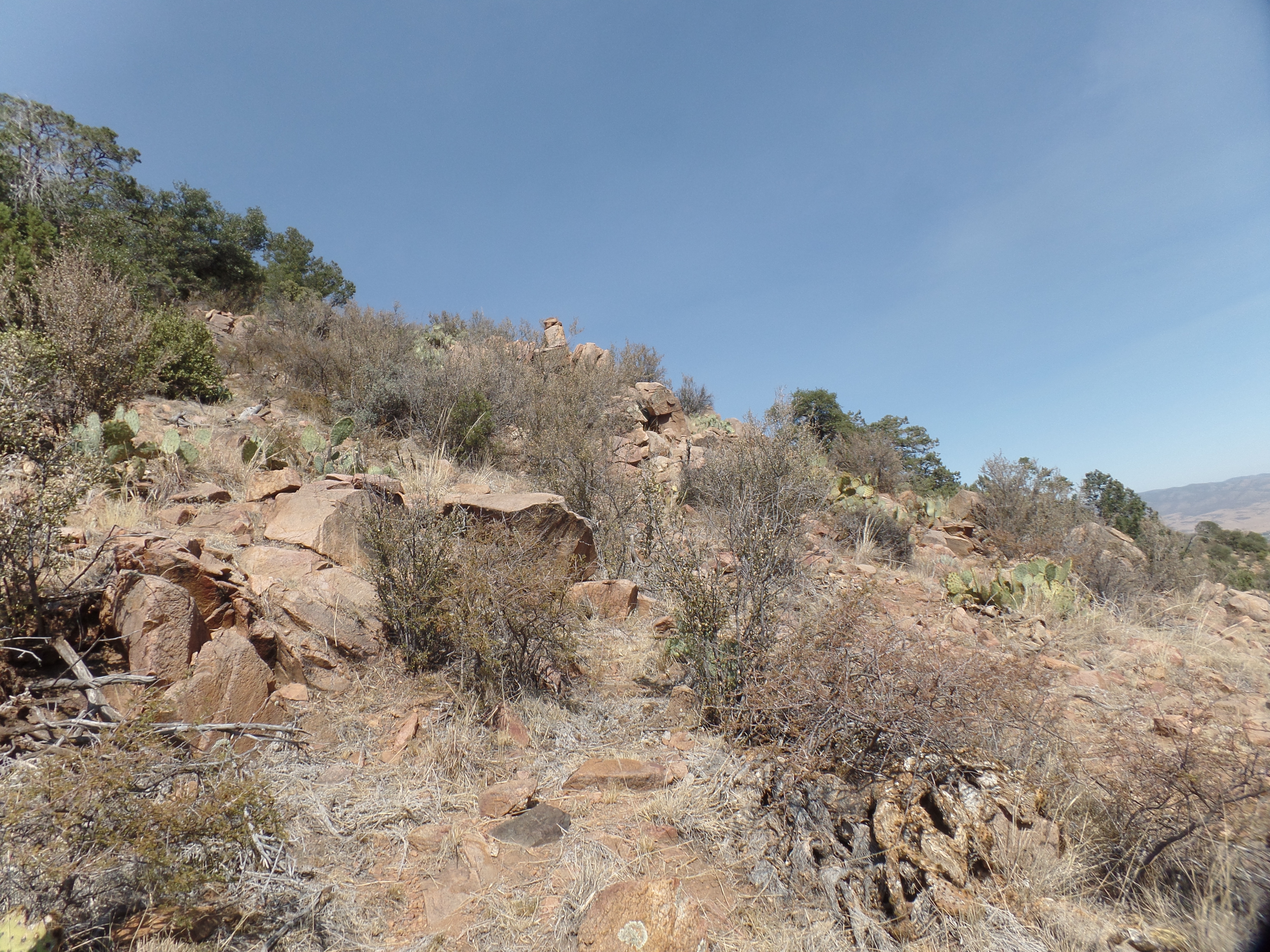
There are two Red Mountains, within a day’s driving distance of Prescott. One of these lies just south of this little ranching and farming community, southeast of Prescott. The Blue Hills, in which this Red Mountain may be found, are a rugged subrange of foothills to the larger Bradshaw Mountain chain, which stretches from Prescott’s southern edge to Black Canyon City and Crown King, at the southern tip of Yavapai County.
I’ve hiked a fair amount in the Bradshaws, over the past nine years. The hike today was my first visit to the Blue Hills region. I got there a little past 11:30, finding only two other visitors in the parking area. They were on their way out, so I had the trail to myself. Off it was, to Red Mountain of the Blue Hills.
The trail was introduced recently by the estimable Phoenix hiking trails writer, Mare Czinar. I found the trail exactly as she described it-beginning on a stony Forest Service road, then entering a forest of Gambel’s Oak and Alligator Juniper. After about 1.5 miles, the trail loses the forest, entering into a sparsely-vegetated area of scattered lone juniper trees and prickly pear cacti.
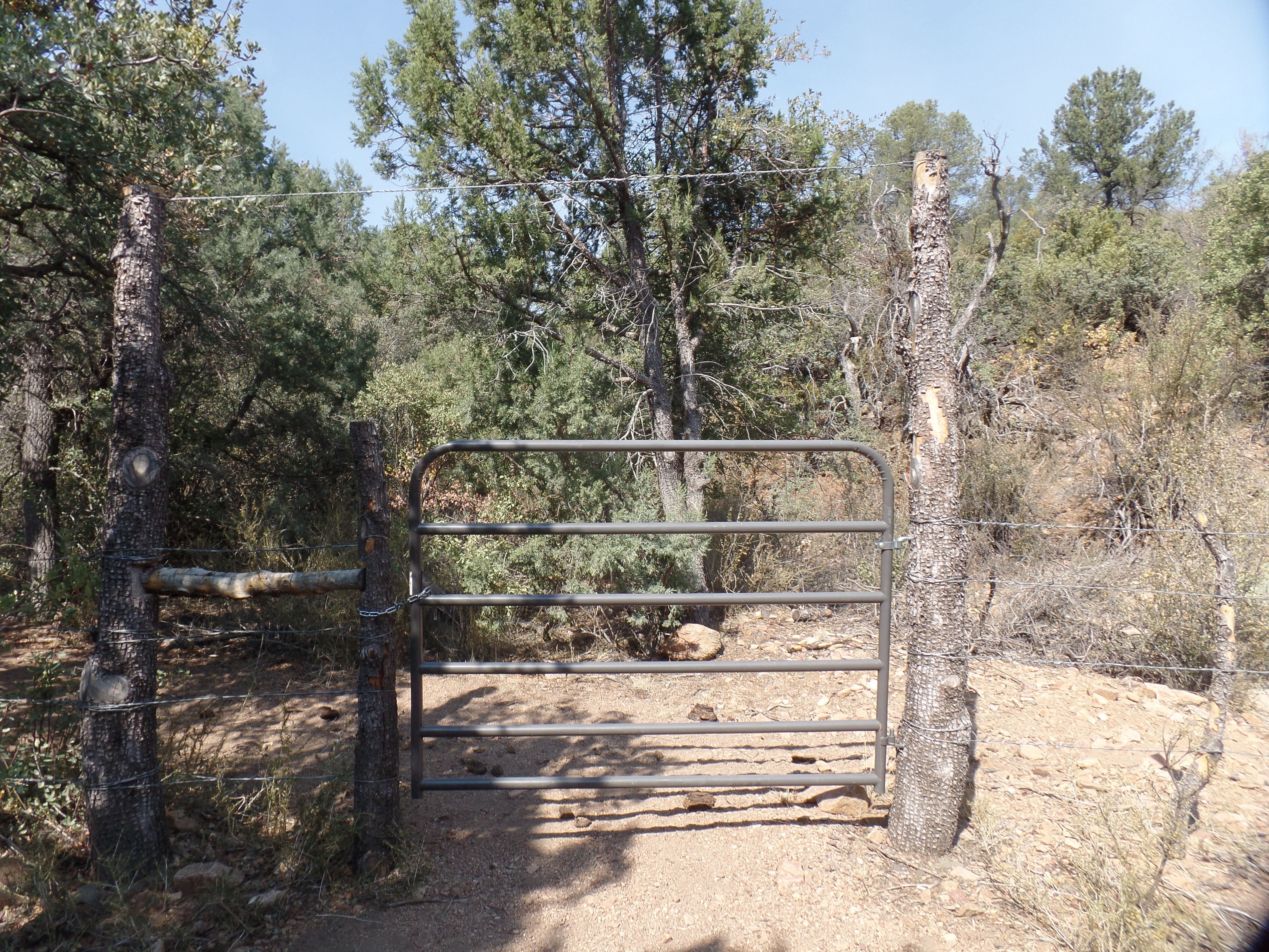
Switchbacks and mildly steep inclines take up the final mile or so, landing one very close to the summit of Red Mountain, with a Forest Service gate, that begins a trail to Lynx Lake, some five miles westward. I will check out Prospectors Trail, from the Salida Gulch area, later this Fall. For now, here are some of the views I encountered.
This message has wider implications for all of us.
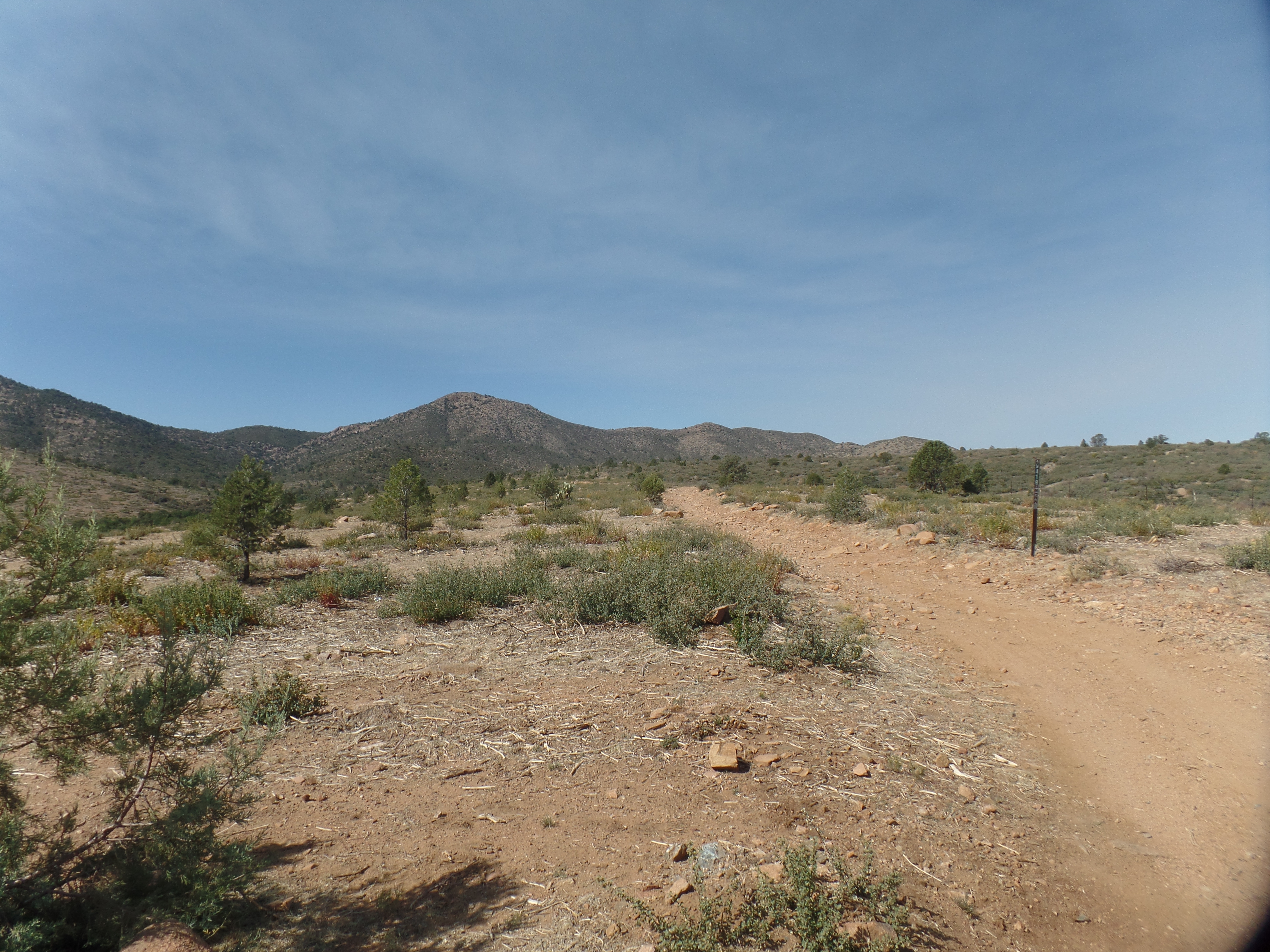
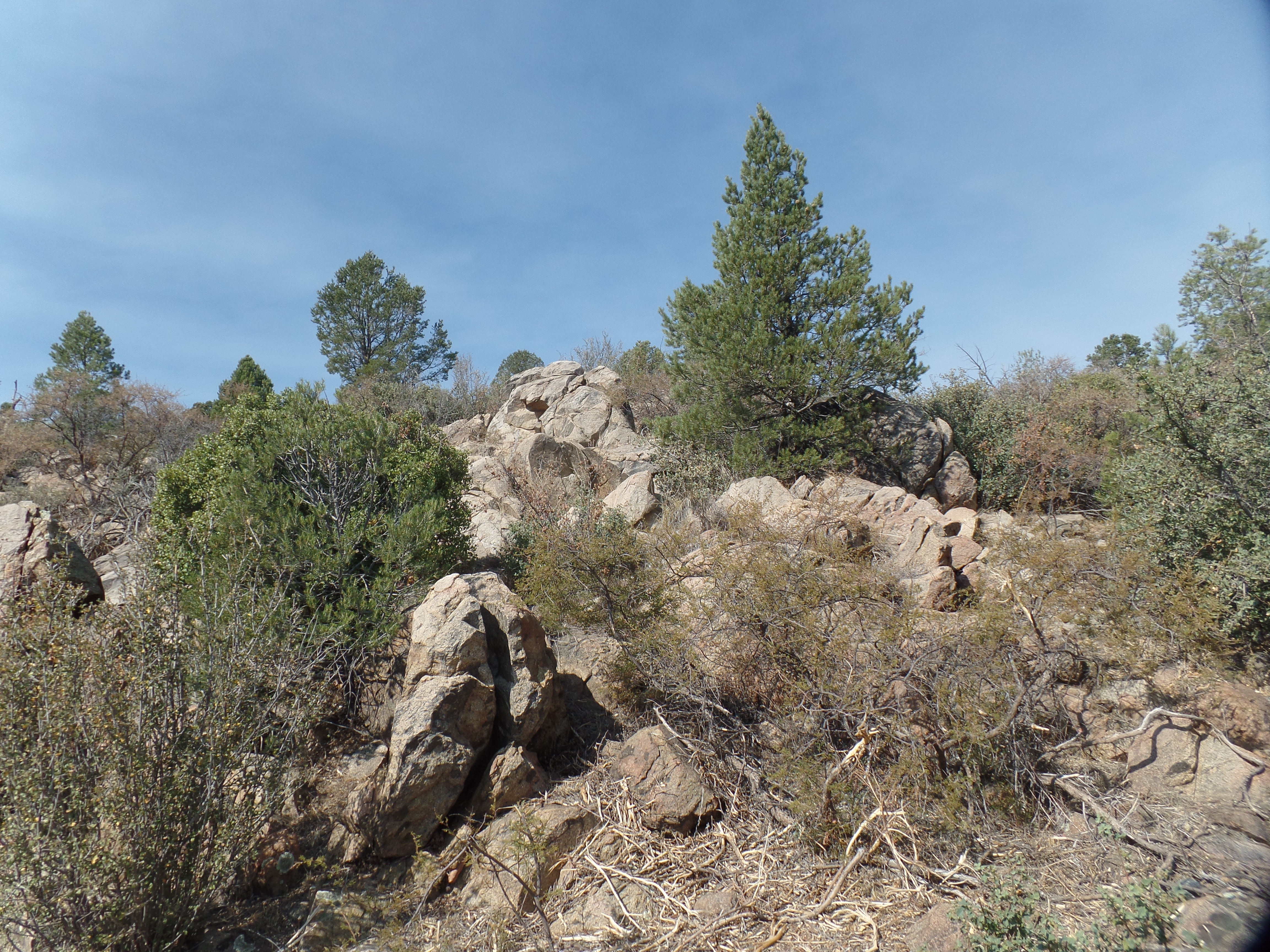
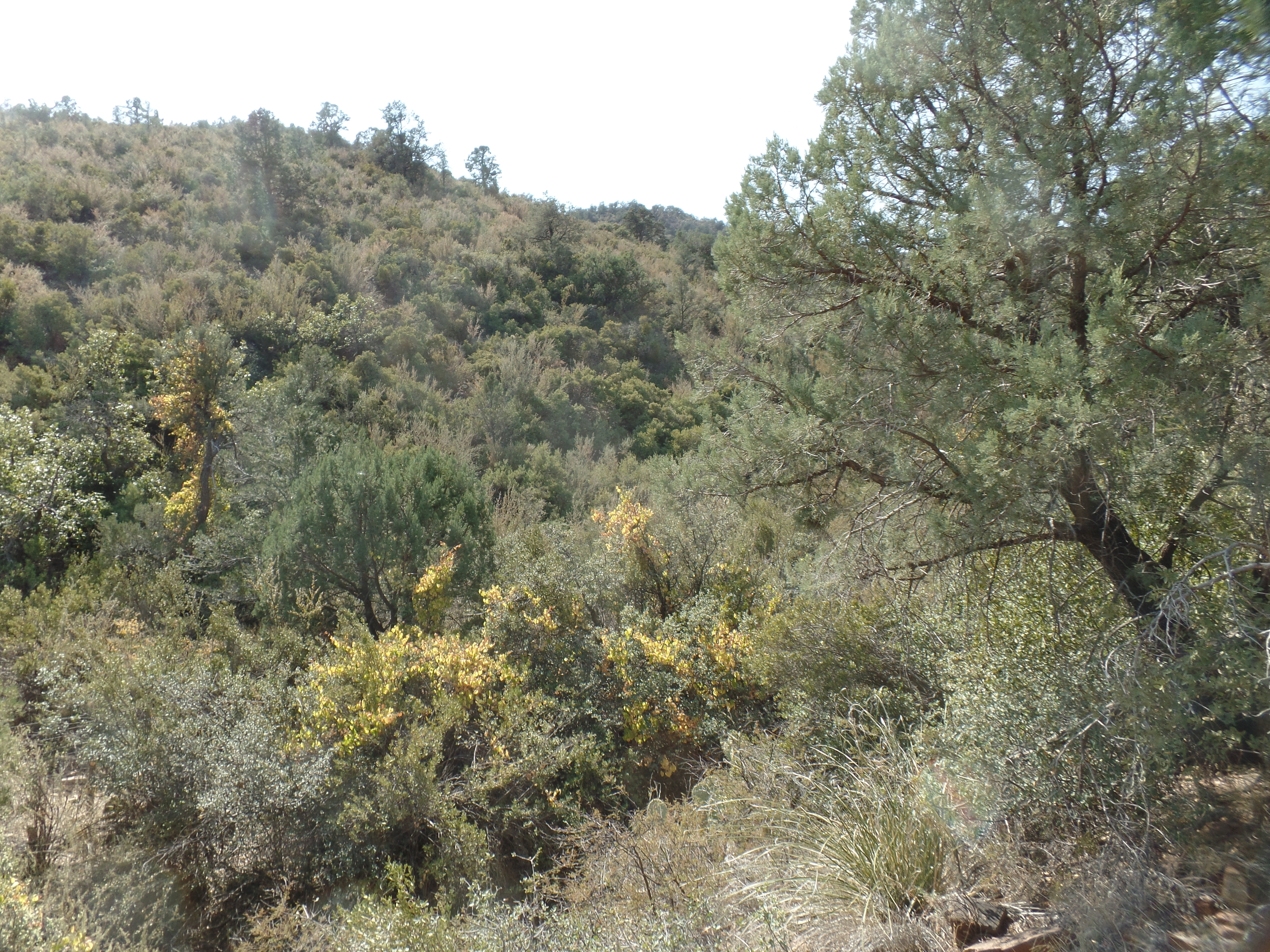
Blue Hills Trail System joint-use guideRed Mountain, from the TrailheadSandstone Outcropping, near TrailheadSandstone and Juniper mixThe trail passes alongside Green Gulch, for about .9 mile. Green Gulch, Red Mountain, Blue Hills-wonder where indigo and violet come in.Year ago, there were miners panning for gold, in Green Gulch and in Salida Gulch, further southwest. This foundation is what’s left of one such mining claim.Smidgens of Fall colours could be glimpsed, here and there.This gate took m eout of BLM land and onto Prescott National Forest.This is close to the end of the thick forest and start of high desert scrub.The climb out of Green Gulch, and up onto the ridges of Red Mountain, begins here.This large sandstone outcropping lies slightly to the east of the final ridge of Red Mountain.Here is the reddish sandstone that gives the peak its name.Once through this gate, one goes down into Salida Gulch, and on to Lynx Lake and Highlands Nature Center- five miles, one way.This is one of several heart-shaped rocks, which always affirm my journey.
July 16, 2020- Today is the birthday of one of my best friends, so I will be in her luxuriant garden, later this afternoon, honouring her with gifts and exchanging stories.
As is well known, I am choosing to stay around Prescott for most, if not all of the summer-and am not going outside of Arizona, barring an emergency, until at least mid-October.
Nonetheless, I think it perfectly fine, if people in places less affected by COVID than we are, get out and enjoy salubrious places in their home states. Travel further afield is, in most cases, best saved for less infested times.
So, in the interests of such travel, here are my own top two favourites for in-state jaunts. Many of them, I’ve visited; others are the favourites of friends.
Starting here and working outward:
Arizona- Thumb Butte; Texas Canyon
Southern California- Carbon Canyon; Julian
Northern California- Point Reyes; Lassen Volcanic NP
Nevada- Valley of Fire; Cathedral Gorge
Utah- Natural Bridges; Bryce Canyon
Colorado- El Dorado SP; Seven Falls
New Mexico- Taos; Sandia Crest
Oregon- Crater Lake; Bandon
Washington- Neah Bay; Leavenworth
Alaska- Sitka; Talkeetna
Hawaii- Volcanoes NP; Kauai
Idaho- Hell’s Canyon; Craters of the Moon
Montana- Glacier National Park; Bob Marshall Wilderness
Wyoming- Grand Teton NP; Spirit Tower (“Devils Tower”)
North Dakota- Peace Garden; Theodore Roosevelt NP
South Dakota- Black Elk Peak; Badlands NP
Nebraska- Scotts Bluff National Monument; Henry Doorly Zoo
Kansas- The Hollow Park,Sedan; Flint Hills
Oklahoma- Lakes of the Cherokees; Black Mesa
Texas- Falls of the Pedernales SP; Palo Duro Canyon
Louisiana- North Side of Lake Pontchartrain; Bayou La Batre
Arkansas- Crater of Diamonds; Petit Jean State Park
Missouri- Lake of the Ozarks; Sedalia
Iowa- Lewis & Clark SP; Ledges
Minnesota- Lake Superior shore; Pipestone NM
Wisconsin- Apostle Islands; Door Peninsula
Illinois- Baha’i Temple, Wilmette; Cahokia Mounds
Mississippi- Ocean Springs; Emerald Mound
Tennessee- Shiloh; Lookout Mountain
Kentucky- Land Between the Lakes; Mammoth Cave
Indiana- Indiana Dunes; Brown County
Michigan- Picture Rocks; Keweenaw
Ohio- Bass Islands; Serpent Mound
West Virginia- White Sulphur Springs; Harpers Ferry
Alabama- Tuskegee; Muscle Shoals
Florida- Everglades; Nature Coast
Georgia- Sea Islands; Amicalola Falls
South Carolina- Sea Islands; Travelers Rest
North Carolina- Tryon; Outer Banks Region
Virginia- Shenandoah National Park; Chincoteague
District of Columbia- Rock Creek Park; C & P Canals
Maryland- Eastern Shore; Antietam
Delaware- Cape Henlopen; Fort Christina
Pennsylvania- Valley Forge; Bushkill Falls
New Jersey- Pine Barrens; Ramapo Mts.
New York- Ausable Chasm; Niagara Falls
Connecticut- Taconic Hills; Mystic
Rhode Island- Block Island; Narragansett Beach
Massachusetts- Mt. Greylock; Cape Ann
Vermont- Green Mountains; Lake Champlain
New Hampshire- Presidential Range; Mt. Monadnock
Maine- Mount Desert Island; Moosehead Lake
For the most part, these are sites in nature. In another post, when we are further along in recovery, I will mention my favourite cities, large and small.
Each day, as I walk downtown, Granite Mountain rises above the northwest horizon. I have hiked to the summit,twice. The first time was in April, 2011, with Aram. The second time was after I returned from Europe, in September, 2014. As it happened, the photos from that second climb were lost, when in a relapse into my mental fog of 2011-13, I put the SIM card into its slot in the computer, without using the guide sleeve. That took care of most of the photos from the latter part of my European visit (Metz, France to Berga, Germany and Frankfurt, Part II) plus Granite Mountain, Part II.
So, as it had been six years, anyway, and ,there is a two-day cooling off, before the July Oven heats up, I took a hike up Granite Mountain-not all the way to the summit, but to the closing-off point, past which peregrine falcons are in the last part of their nesting season.
I wanted to make this trip more about Granite Basin and Blair Pass, the approaches to the peak, anyway, so this was especially worthwhile.
Here are some of the scenes of those areas, and the lower part of the mountain.
The serene trailhead of Metate PointThis is the boulder called Metate.The trail opens wide, headed towards Granite Basin.This dam helps form Granite Basin Lake.So often, boulders can appear to be rogues from the Great Beyond. Here is one such image.Once in the heart of Granite Basin, boulder flows abound.There are several golden staircases, along the Basin path, and on the north slope of the mountain.These are some penstemon flowers, which are seen only on occasion, along Metate Trail.Prescott has lots of corvids. These look like they got petrified, way back when.Here is another Watch Lizard of the Basin.Now, we are approaching the Basin’s boundary, and Blair Pass.A view of the summit, where the pergrine falcons are still rearing their young.Remnants of the 2013 Doce Fire are seen ahead.The sky is bluer than it’s been in several years.From this bench, also called Metate Point, is a clear view of Little Granite Mountain and the Santa Maria Mountains, in the far distance.This is a northward view, towards Williamson Valley and the Cornell Range.After apprising a young lady, who appeared more interested in running, about the course of the the trail to the summit, I determined to only walk until I heard the first little peregrine chick peeps. That took me most of the way up this ridge.Here is a second “Golden Staircase”.I took one final look at the Cornell Mountains, from this viewpoint near the first nests I encountered, then headed back.
All told, I met five people along the trail, including the runner. It was thus a bit more active than six years ago, when the only soul I met was a young lady, who appeared out of nowhere, took my picture and disappeared just as quickly. I encounter souls like that, every so often, but not today.
This was a perfect day, in an area where perfection can come as easily as a brief walk to a bouldered area for a picnic as from a hard march to the summit. I stopped upon hearing the first faint peeps, then headed happily down.
This was a Father’s Day of my own making. My Uncle Walter told us boys, for years on end, to learn to make our own fun. So it has been, for nearly seven decades.
After hosting a heartfelt and meaningful devotional on Zoom, I hopped over to Ms. Natural’s and had a quick and healthful lunch, on the downstairs patio. Then, it was off to Sedona, for a relatively short hike, along a trail called Big Park Loop. It was hot, so I walked fairly slowly and drank a good amount of water. The scenes were of Courthouse Butte and Bell Rock from a southern angle.
Bell Rock and Courthouse Butte, Sedona-seen from the south.Cathedral Rock and Castle Butte, from the east.
The past two months have been very dry, as usual. The great rushing creeks and rivers of the “Monsoon” season are flowing only underground, right now, if they are flowing at all.
Large dry wash near Courthouse Butte, Sedona
I stopped in, after the hike, at a normally favourite and welcoming coffee house, but found the mood a bit tense- largely over who got to use a device which soothes muscle pain and can heal skin disorders. A friend who works at the cafe managed to get some use from it. The device, it turns out, belongs to the cafe owner, is quite expensive, and was not to be used by anyone but the employees. The owner was not amused, when friend offered it to me for a session. Fortuitously, it operates off cell phones, and mine was not co-operating. I quietly left, after enjoying a refreshing and healthful cool drink.
Father’s Day dinner was at a barbecue place, called Colt Cafe, in Old Town Cottonwood. The tried and true brisket sandwich and Triple Crown potato salad restored my physical balance. It was a fairly easy drive back, after dinner.
My father taught us He showed us that strength is not brutish, not overbearing and is never selfish. Strength shows respect where it is due, but is not fawning or sycophantic, as no human being is worthy of such adulation.
At the same time, strength avoids excessive fault-finding. If a person is praiseworthy, on balance, clebrate that which is good about the individual, neither dwelling on, nor ignoring, the person’s frailties. I wonder what Dad would think of the current campaign to denigrate most, if not all, of our nation’s, nay our planet’s, people of renown? In an age when everyone from George Washington to Mother Theresa has detractors who have managed to find a ready audience, can we truly approach anyone’s legacy objectively?
Of all things that get done in life, none exceed in value the homage paid to those who have gone before. As giving, to those in need, results in getting more of what oneself could use, so does paying respects, to those who have transitioned, bring more honour to the one paying the respects.
I was able to stay in a fine little cabin, a duplex, which I shared with a family of three, who kept to themselves. Jacob Lake Lodge has been built into a resort, of modest size, staying free from any ostentatiousness. It has a small, but quality, restaurant, where pandemic-based spacing is in effect, and of course, masks helped give a sense of health security, for both patrons and staff-when we weren’t eating or drinking, of course.
Cabin 10, where I stayed at Jacob Lake Inn.
After hiking a “warm-up” trail, in search of the actual Jacob Lake, I found only an RV Park, and so returned to the resort, in time for check-out. Then, it was off to the Canyon!
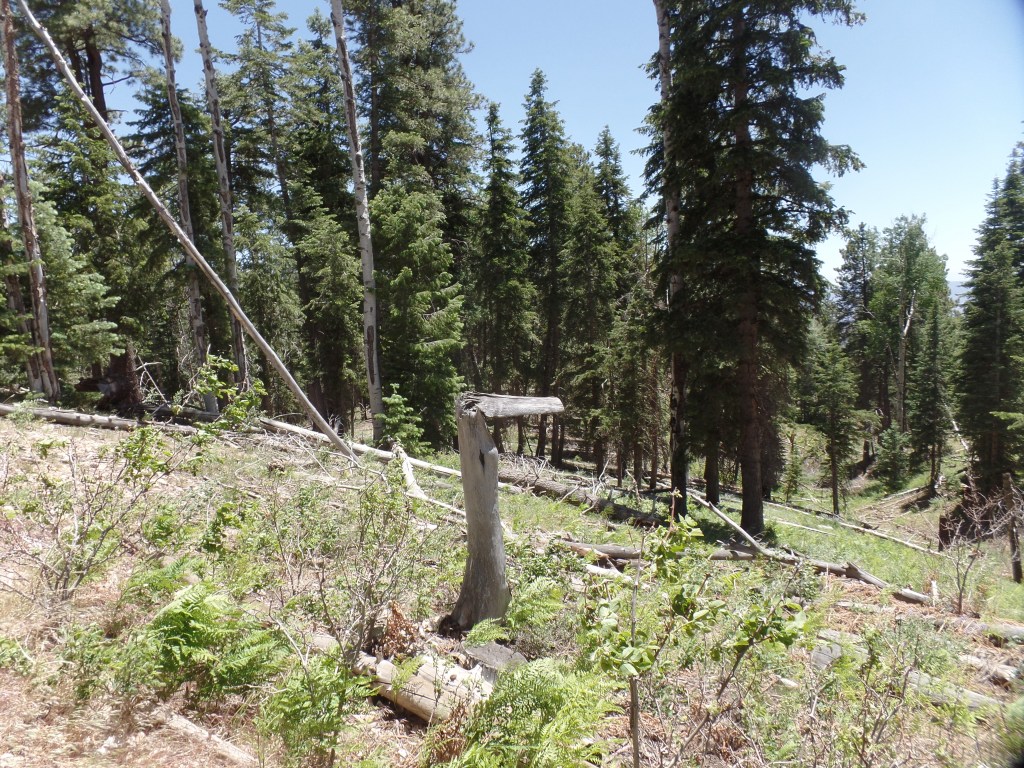
There is a plan being considered, that will result in a sizable amount of trees being cut, in Kaibab National Forest, along the road to North Rim. There is a huge amount of slash and burned-out trunks, left from previous fires and intense storms. To me, it would make the most sense to clear that mess, and probably would put a fair number of people to meaningful work, this month and next. As the trees under consideration are “old growth” forest, it is especially heart-rending to consider the unnecessary damage to the ecosystems.
After arriving at North Kaibab Trailhead, where the Elantra would rest, while I hiked, it took a short bit of checking the route, to make sure I din’t end up going down the North Kaibab Trail, itself. Ken Patrick Trail, a bit to the north of the steep big kahuna, would take me to Uncle Jim Trail. With the help of a thru-hiker doing the Arizona Trail, I was on my way, in short order. You can see from the sign, below, that Ken Patrick was dedicated to service with the National Parks.
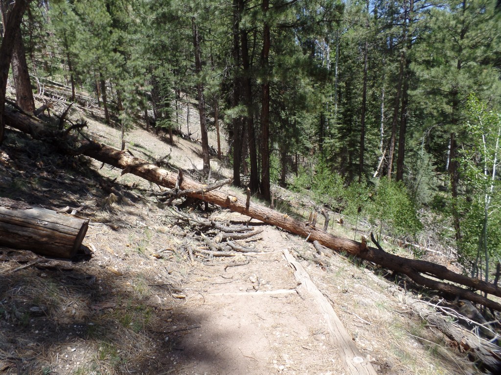
About 500 feet along the trail, a large ponderosa pine had fallen across the path, so I went up and around the mess. Three other trees would lie across the trail, at different points.
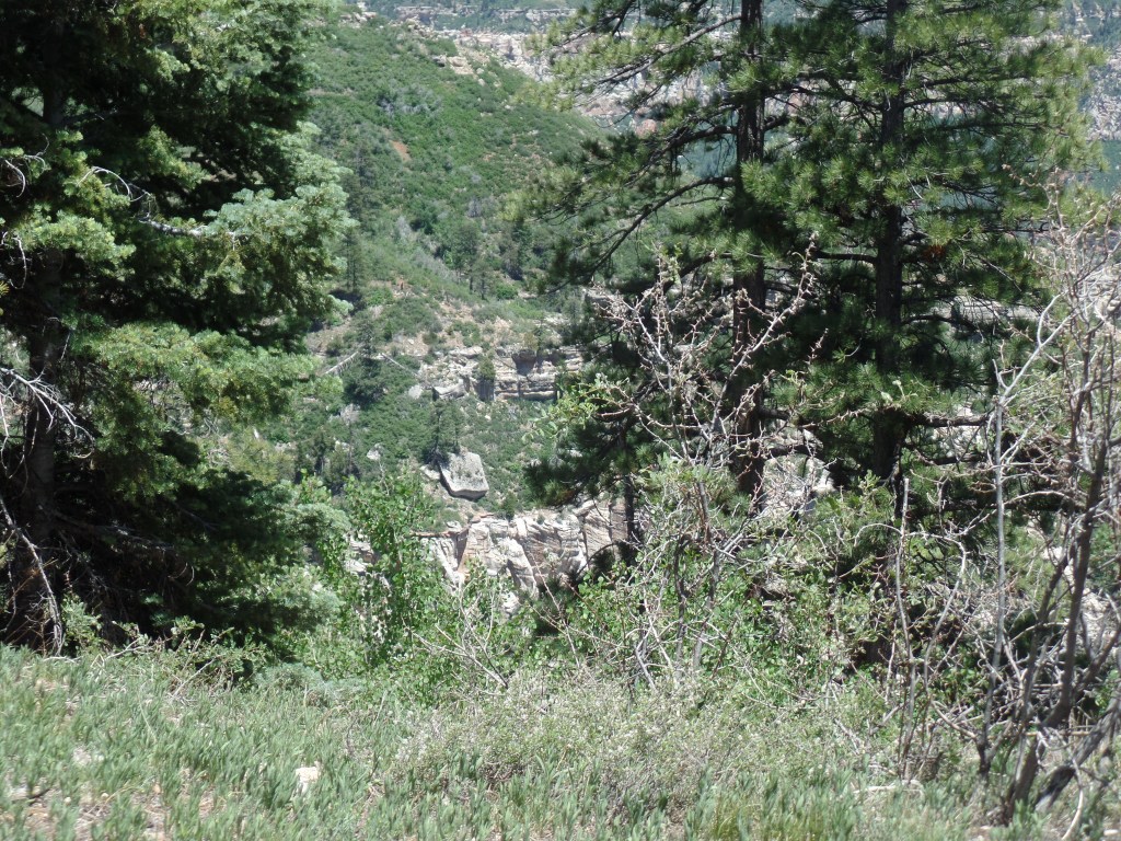
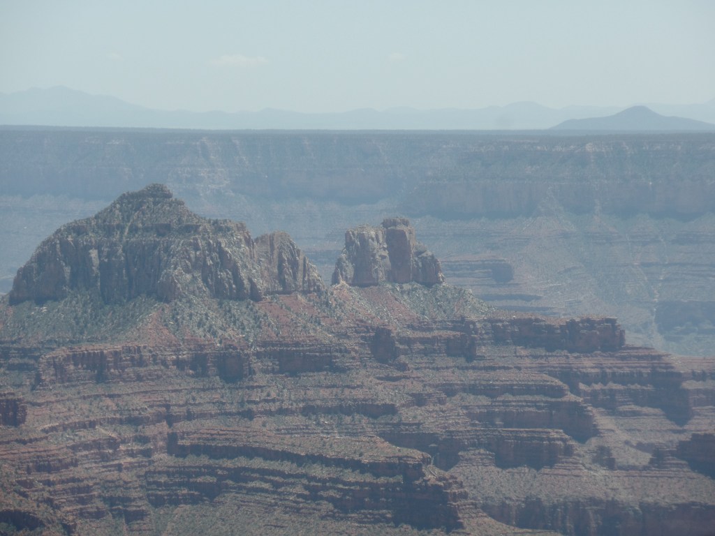
The first set of overlooks lies about 1/4 mile along the Ken Patrick Trail. This view mirrored what I saw last October, from the Bright Angel Point trail.
The limestone columns remind me of horse heads.Here is a cross section of the Inner Basin.
Nature leaves her little jokes, even at the expense of damaged trees.
A guidepost, perhaps?
Sooner than I expected, it was time to take a hard right.
The trail junction.
The first segment of Uncle Jim Trail is four tenths of a mile. It is also the area with the most up and down inclines, and the only place where there are switchbacks, albeit mild ones. Two downed trees greeted us hikers, along this stretch, as well.
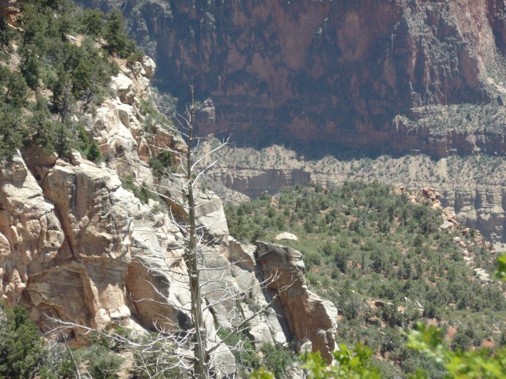
At 7/10 of a mile, along the western leg of Uncle Jim Trail’s 2.1-mile loop, I came to a series of fabulous canyon views.
This drop-off looks milder than it is.Who’s watching whom?
Finding a heart-shaped rock, I placed it carefully against a small set of wood shavings.
A little altar
This natural eroded bowl could serve as an amphitheater.
Looking at this “amphitheater”, I also saw a back country hiker looking over its edge.
I came upon an unofficial overlook, east of the main viewpoint, and appreciated the two “guardians”, looking back towards the rim.
Sandstone heads have this mesa to themselves.
Looking out from this vantage, at Uncle Jim Point, I have a tripod to help me focus.
Here’s a view towards the Inner Basin.
Heading out from this vantage point, I spotted a burnt ponderosa, which could serve as a memory pole, of sorts.
A woodpecker’s home and a place to mark memories.
I spent a few minutes sitting on the landing of a restroom building, writing in my journal. As I did, a fierce gust of wind came up and blew my sunglasses off the landing. I looke for the shades, for about ten minutes, but to no avail. If that is my offering to the forces of nature, so be it. I have a feeling that the wind took them all the way to the rim, and over.
Hearing happy voices, I followed the tral to the main viewpoint. There were four women, a couple and me, taking one another’s photographs. Thus, a pyramid could be envisioned: Four at the base, two in the middle and one on top.
Here I am, courtesy of the “better half” of the couple.
With Uncle Jim Point in the background, I fulfilled a promise to myself and to his family.
Uncle Jim Point juts out into the Inner Canyon.
With that, the two parties and I leapfrogged one another, on the way back, as each took rest breaks. We all missed the junction sign, going back on the Ken Patrick Trail by osmosis. I last saw the four women taking an extended photo shoot at the first overlook. The couple, it turns out, are from Santa Monica, and were enjoying their first venture out of town, since January.
So, my heart’s desire was fulfilled and I headed out of the Canyon, with a brief stop at North Country Market, for a well-earned salted caramel latte and a long, but smooth, drive to Flagstaff.
I have found that my throat chakra. It’s a feature that had been rather subject to timidity and over-circumspection, especially when it came time to face challenges from more strident individuals, over the years. I find myself talking back more-and with more confidence.
These are times when people are dealing with fear and pain, in some very unsettling ways. Then again, people have dealt with fear and pain in unsettling ways, forever. It just plays out more in real time.
Grand Canyon National Park has re-opened its North Rim to hiking, but not to lodging. I had a pre-COVID plan to hike a trail up there, in honour of my Uncle Jim, who passed away last year. June 3 would have been his 86th birthday. As it happens, I have an obligation here at Home Base, that evening, but June 2 is open. So, I have plans to take my hiking sticks, water, natural sanitizer, mask and gloves-and honour my uncle’s memory.
The reaction to my announcement of this has not been what I expected. I thought friends on the Left would come screaming about contagion. So far, only one mild protest has come from that direction. Most everyone, progressives and conservatives alike, have simply said “Be safe and enjoy!”
The only caveat that I have, for the driving portion of this trip, is to not stop along the way, in the Navajo Nation, unless absolutely necessary-to honour the Nation’s President’s request that outsiders drive through, without stopping.
For what it’s worth, this is the only long trip I have planned for the next several weeks, if not months, and out-of-state, for now, remains out of the question.
I used to live in central Maine. On weekends, I would go either north or east, as a rule, exploring the further segments of New England’s largest state. One area that always impressed me was the North Woods- one of the largest stretches of unbroken forest, east of the Mississippi River. Even when I lived there, a small group of people, mainly Europeans, who didn’t understand why we “needed” so many trees, were agitating to cut down many of the trees and build something “useful” in the region-like second homes for people from more congested areas. We would hear how, in Europe, there was not this obsession with keeping the land “empty”. and people were just happy with less wilderness. (I did not get this feeling, when I visited some western European countries , in 2014, but there we are.)
So, it doesn’t surpise me to learn that a Spanish-owned company, Central Maine Power, is going to court, to force a clear-cut of a 53-mile swath, through the North Woods, for the purpose of building a “Clean Energy” transmission line, from the St. Lawrence River, in Quebec, to Massachusetts. The total line would run 145 miles, so a third of it would go through the North Woods. The width of the cleared path would be 300 feet across.
The Woods are owned by a timber company, which permits a wide variety of recreational uses throughout its property. The forest products industry stands to lose a fair amount of resource material, through the clear cut-even if CMP’s Spanish parent company pays a decent sum for its trouble. The loss to the environment would be even greater, with unknown damage to the lakes and rivers of the area.
Thus does another “New Age” company find itself in the position of being inimical to the very environment it purports to protect. Rather than bull their way through North America’s largest remaining temperate forest, the Spaniards may find it better to explore some truly clean means of providing power to southern New England.
As I have thrown some very lengthy “shares” on my other social medium, I will keep this brief and just mention a few things that come to mind, as the night progresses.
I haven’t seen the Moon, in its waning phase, this month. Turns out, it rises at 2 a.m. and sets when it’s mid-afternoon. I do, however, go outside and meditate under the stars, before calling it a night.
My computer desk is something of an altar. Penny appears in three photos. My singing bowl is right in front of me. A family heirloom Buddha, which my father-in-law brought back from Paris, in 1945, sits atop the mantle, next to a hand-carved wooden soldier, modeled after the ones in Nutcracker Suite. A photo of ‘Abdu’l-Baha and one of our son bookend the mantle.
I planted my four vegetables, this afternoon, adding granulated organic food scraps to the soil and spraying animal repellent around the area. Javelina tend to come in the yard, during the night, so I want to get them accustomed to not liking the scent of the yard.
Now, it’s time to change course and say goodnight to the laptop. Books have their turn, in my wind-down.