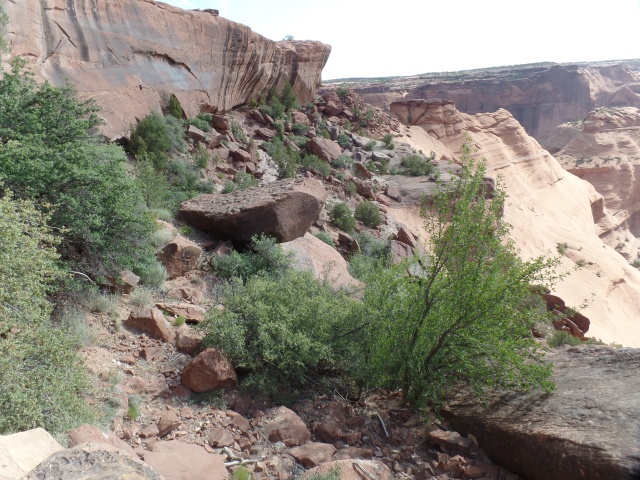
The Treasure Road

4

June 15, 2019, Gallup-

The fine thing about a diverse landscape such as that of the Navajo Nation is that one can experience five forms of weather, as well as of scenery, in the span of thirty minutes.

I left Canyon de Chelly around noon, heading for the small college town of Tsaile.  This is the site of the main campus of Dine College, the Dineh’s highest resident institution of learning.  It offers eight Baccalaureate programs and is led by Dr. Charles Roessel, a member of one of the area’s most distinguished educational families.

The place today, though, was the realm of crickets.  Being a Saturday, in summer session, everyone except a lone security guard seemed to be elsewhere. Here are a couple of scenes of that splendid silence. First, the Library.

SAMSUNG CAMERA PICTURES

The centerpiece sculpture is of life-sustaining maize.

SAMSUNG CAMERA PICTURES

There are two mountain ranges in this part of the Dineh Nation. Here is a view of the Lukachukai Range.

SAMSUNG CAMERA PICTURES

As I left Tsaile, the road led to its sister village:  Wheatfields.  The two share a single Chapter, in terms of jurisdiction.  Wheatfields is home to one of the Navajo Nation’s most popular recreation sites:  Wheatfields Lake.  Along the way, there are the buttes and peaks of the southern flank of the Lukachukai Range and the norther flank of the Chuskas.  Below, is a view of Tsaile Butte.

SAMSUNG CAMERA PICTURES

Not far to the south is Red Butte.SAMSUNG CAMERA PICTURES

Here is  a  view of Wheatfields Lake.  It was crowded with fisherfolk and water’s edge vacationers.  Unseen here, a storm front was approaching from the west.

SAMSUNG CAMERA PICTURES

The road next led through a small sliver of New Mexico.  The two Chapters, Crystal and Red Mesa, were significant to Penny and me, as a vibrant and forward-looking family of Baha’is had branches in each community, in the 1980’s and ’90’s.  I fondly remember the Coes, their bread truck office and its early-model Word Processor; then, there were their elders, the Belshaws, with a wealth of natural foods knowledge and holistic health tips.

Here is Red Mesa, near the village of Navajo, NM (Red Mesa Chapter).

SAMSUNG CAMERA PICTURES

The Treasure Road (my term) comes to an end in Window Rock, the administrative seat of the Navajo Nation.  A serene park encompasses the town’s namesake.

Here are some views of this unique red sandstone promontory, with its signatory arch.

SAMSUNG CAMERA PICTURES

SAMSUNG CAMERA PICTURES

SAMSUNG CAMERA PICTURESSAMSUNG CAMERA PICTURES

SAMSUNG CAMERA PICTURES

The park also feature a memorial to the Navajo Code Talkers, whose service during World War II was instrumental in the U. S. defeat of the Japanese Imperial Forces.  The Navajo contingent was the largest of several groups of Native American teams, who used their languages to convey information in a way that would not be decipherable by the enemy.  There are five living Navajo Code Talkers, as of this writing.

SAMSUNG CAMERA PICTURES

With this, I headed to Native American Baha’i Institute, briefly saying a round of prayers and careful not to disturb several work projects, then headed here, to this bustling community that lies in the midst of the Navajo Nation.  It was time to sleep, at the Lariat Motel.

NEXT:  A Checkered Father’s Day

Canyon de Chelly:The Land Still Thrives

7

June 15, 2019, Chinle-

After a comfortable night in my tent, I spent the morning hiking White House Ruins Trail, the only unguided hike into Canyon de Chelly.  The route takes one down to a properly fenced off ruin, with various formations, images and a working farm (no photographs allowed) along the way.

Without further ado, let the pictures speak for themselves.  First, a couple of views from the overlook:

SAMSUNG CAMERA PICTURES

SAMSUNG CAMERA PICTURES

The trail starts flat, then quickly gets steep.

SAMSUNG CAMERA PICTURES

There are two tunnels along the trail.  This is the smaller one.

SAMSUNG CAMERA PICTURES

The trail looks messy, but is actually well-maintained.

SAMSUNG CAMERA PICTURES

Some reinforcing has been needed, over the years.

SAMSUNG CAMERA PICTURES

The canyon is watching.

SAMSUNG CAMERA PICTURES

SAMSUNG CAMERA PICTURES

This verdancy allows many Dineh to farm here, at the Canyon’s bottom.

SAMSUNG CAMERA PICTURES

SAMSUNG CAMERA PICTURES

Caves abound-or they are watchmen?

SAMSUNG CAMERA PICTURES

Grey gypsum and turquoise are embedded in the sandstone, at this particular spot.

SAMSUNG CAMERA PICTURES

Here is the second tunnel.

SAMSUNG CAMERA PICTURES

Even ants need picnic benches.

SAMSUNG CAMERA PICTURES

Camellias add a nice touch to the canyon bottom.

SAMSUNG CAMERA PICTURES

This majestic tableau rises above the working farm I passed.

SAMSUNG CAMERA PICTURES

Chinle Wash is flowing mildly, but steadily.

SAMSUNG CAMERA PICTURES

After a leisurely hike, here they were:  White House Ruin, built by Ancestral Puebloans, around 1060 A.D. and occupied continuously for 200 years afterward.

SAMSUNG CAMERA PICTURES

SAMSUNG CAMERA PICTURES

The walk back up was not at all hard, with a couple walking slightly ahead of me, and stopping for occasional conversation, then moving along for their own private reflections.

This was my fourth time hiking White House Trail ,and certainly the most well documented.

NEXT:  The Road to Window Rock

The Art of Encouragement

2

SAMSUNG CAMERA PICTURESJune 14, 2019, Ganado, AZ-

During the course of the tortuous process of incarceration, known as The Long Walk, white America showed itself to be of two minds, regarding the Dineh (Navajo) people.  There was the idea that, by removing Dineh, the resources of the area in which they lived would be available to the “Greater Nation”.   President Lincoln also retained the distrust and dislike of First Nations people, which he had carried since his participation in the Indian Wars of 1818-20.  He did not have to be cajoled into signing off on this travesty.

In all of this, an even-handed, but not easily-swayed, Dineh leader named Totsohnii Hastiin (“Man of the Big Water”) resisted incarceration, initially, fleeing to the Grand Canyon and living among his paternal relatives, who were Hopi.  He learned of his people’s suffering at Fort Wingate, and so surrendered, after a time.

When the Dineh were allowed to return to their traditional homes, by President Andrew Johnson, in 1868, some Euro-American traders, especially those of Spanish or Mexican ancestry, were allowed to approach the First Nations people, to establish trading rights.

One of these was a New Mexico native, John Lorenzo Hubble.  He settled with his family in a small Dineh settlement called Pueblo Colorado.  There, Chief Totsohnii established a friendship with “Don” Hubble (Don is a Spanish term of respect for a man of means.) In time, the village of Pueblo Colorado became regularly confused with the large town of Pueblo, Colorado. The people chose to rename their village as Ganado, after Chief Totsohnii’s common title, Ganado Mucho (“many cattle”).  Both names stuck, and today the great leader is remembered as Ganado Mucho.  The village has become a thriving crossroads commercial center.

An essential part of Ganado’s growth has come from the trading post established here, by John Lorenzo Hubble, in 1878.  Hubbell lived here with his family and actively encouraged Dineh artisans to sell their jewelry and wool rugs, two trades they had learned from the Spanish and which they had perfected over nearly a century.  His trading post became a model for others, throughout the Navajo Nation, and nearby First Nations communities.

Today, Hubbell Trading Post remains a working concern, whilst also being preserved in the National Park System, as a National Historical Site.  Here are some scenes of this special establishment.  Below, is the side entrance to the Main Trading Post.


SAM_1640.JPG

On the ceiling of the “Jewelry Room”, one sees baskets of many First Nations, who traded them with Mr; Hubbell and continue to trade with the present-day proprietors.


SAM_1641.JPG

The cradle board, examples of which are shown below, was essential for Dineh mothers to carry their infants, both during their work in the fields and along the Long Walk.  It is still used today, by traditional Dineh women.

SAMSUNG CAMERA PICTURES

In these corrals, the Churro sheep that are so essential to Navajo weaving, as well as for the mutton that is integral to the Dineh diet, are penned.  Churro mutton is one of the Heritage Foods, recognized by Slow Food International, in its work to maintain a diversity of foods for the human race.

SAMSUNG CAMERA PICTURES

Horses, also beloved of Dineh, as beasts of burden, are also corralled here.

SAMSUNG CAMERA PICTURES

I got a chance to briefly look inside the home of the Hubbell family, now preserved by the National Park Service.

SAMSUNG CAMERA PICTURES

The unique tree stump carving below, was commissioned by the  Hubbell family, as proof of  the range of Dineh artistry.

SAMSUNG CAMERA PICTURES

This hogan-like octagonal cottage housed artists who were commissioned by Mr. Hubbell.

SAMSUNG CAMERA PICTURES

The Hubbell family members are buried on this hill, which is off-limits to the public.

SAMSUNG CAMERA PICTURES

The property also shares a Veterans Healing Trail, a serene walk of about 3/4 mile, with the Chapter of Ganado.

SAMSUNG CAMERA PICTURES

It ends at this Peace Tree, on Ganado Chapter property.

SAM_1673.JPG

This first real effort, at bringing heretofore inimical peoples together, has served as an ongoing example of just how our our interests, both common and divergent, can serve as an example of alternatives to conflict.

NEXT:  Canyon de Chelly, As Viewed From the Rims.

Where Affirmation Started

8

June 14, 2019, Keams Canyon, AZ-

Two months ago, after I left my full-time work, I got a text from a long-time friend, from the Navajo Nation.  Her uncle, another long-time friend, had died, and the family needed my help with his funeral.  I was to offer a final prayer, to which I agreed.  I did the service, in a small cemetery on this isolated, but starkly beautiful location.

Another member of the family lives near the cemetery and invited me to visit him, when I was next in the area.  There was no better time for this, than the start of the Summer, 2019 road trip, so I came up here yesterday evening and spent the night in his nicely furnished and solidly-built ranch style home.

It does my heart good to see Indigenous people have access to the same quality of life that people in other ethnic groups have.  I don’t see the point in anyone being left out.  For too long, First Nations have taken the leavings of the majority population.  This is changing, mostly for the better.

Coal Mine Canyon is one of the least-visited parts of Arizona. Infrastructure is non-existent though a graded road made it possible for me to take some photos of the canyon, from its south rim.

SAMSUNG CAMERA PICTURES

SAMSUNG CAMERA PICTURES

SAMSUNG CAMERA PICTURES

SAMSUNG CAMERA PICTURESSAMSUNG CAMERA PICTURESSAMSUNG CAMERA PICTURESSAMSUNG CAMERA PICTURES

This last looks like the Earth is watching!

SAMSUNG CAMERA PICTURES

I continued on, this morning, to the Hopi Nation, visiting a former co-worker, briefly, then upon finding there was no social dance in her village, this weekend, I continued on over to Keams Canyon, where what has turned out to be one of the two really rewarding positions I ever held, started, in August, 1992.  It’s certainly arguable that I should never have left Cedar Unified, but here we are.  I felt affirmed as a school counselor, more than I did in any other position.  Affirmation began in Tuba City, near Coal Mine Mesa, and continued both at Jeju National University and here.  I still feel validated by my First Nations friends.

Here are a couple of views of the inner area of  Keams Canyon, now largely abandoned.

SAMSUNG CAMERA PICTURES

SAMSUNG CAMERA PICTURESSAMSUNG CAMERA PICTURES

SAMSUNG CAMERA PICTURESSAMSUNG CAMERA PICTURES

There used to be a trail that led from Keams to a part of the nearby Dineh settlement of Jeddito, to which we moved in 1993, after living in Keams for a year.  The trail, like much of the settlement has been redirected elsewhere.

NEXT:  Hubbell Trading Post and Its Impact on Navajo Arts and Crafts

Home Base

7

June 12, 2019-

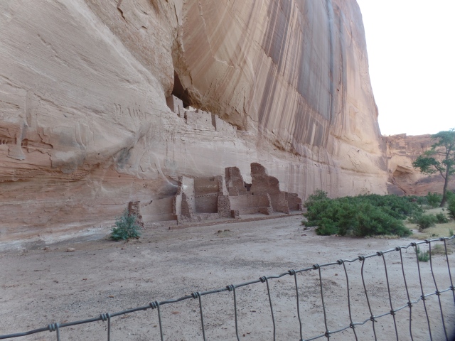
Tomorrow, I will head up for a few days in another of my heart homes – Dineh/Hopi.  Yes, there are many of those, and this Home Base is one.  The road will then curve eastward.

In the meantime, life goes on here in Prescott-with a vengeance.  Many of you may be taking journeys of your own, over the next few months, and I can say time spent in this area is well worth the drive, or flight (Ernest A. Love Regional Airport is expanding its own “wings”, with more destinations offered by its tenant carriers).  So, let me go all Chamber of Commerce on you.

I’d offer my own Home Base on Airbnb, but it’s a tiny place and the landlord would not be happy.  So, I recommend either of two hostels:  Prescott International, on McCormick Street. (https://www.tripadvisor.com/Hotel_Review-g31323-d4309329-Reviews-Prescott_International_Travelers_Hostel-Prescott_Arizona.html) or House in the Pines Hostel, on Virginia Street, two blocks west of my place, actually(https://www.hiphostelaz.com/).  There are a couple of great boutique hotels:  The Grand Highland, right smack downtown, on Whiskey Row (https://www.grandhighlandhotel.com) and Hotel Vendome, one block south of downtown, on Cortez Street (https://www.vendomehotel.com/).  There are two grand hotels:  Hassayampa Inn, on the corner of Gurley and Marina, is a premier spot for jazz in the courtyard (https://www.hassayampainn.com/) and Hotel St. Michael, on the north end of Whiskey Row, at the corner of Montezuma and Gurley, is a prime meeting place for locals and visitors alike. (http://www.stmichaelhotel.com/).  The chains have fine reps here, as well:  Hampton Inn, Marriott and Spring Hill Suites are either downtown, or within a short drive.  An independent hotel, Forest Hills Suites, is near the Marriott, east of town.

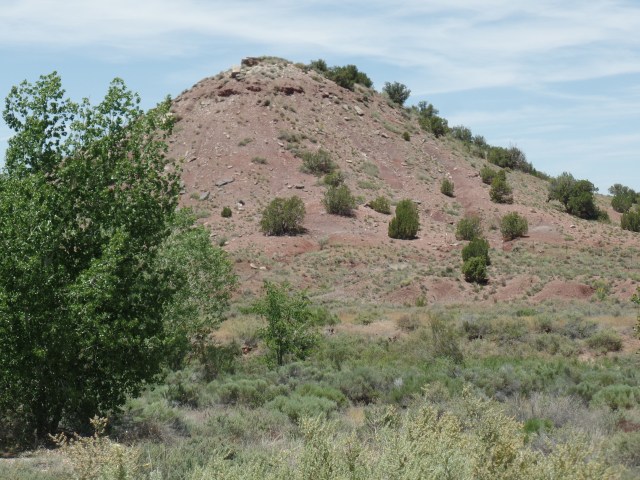
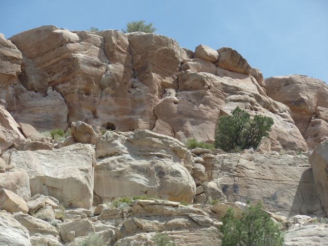
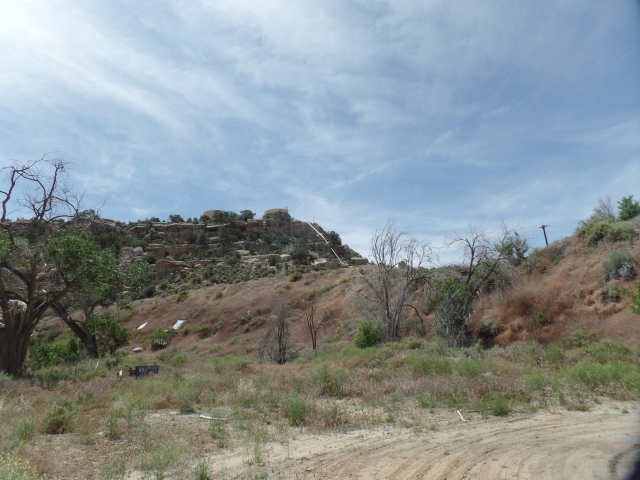
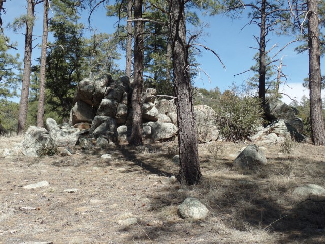
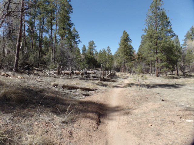
Now, the entertainment part:  Nature calls, pretty loudly, here, if you’ve seen my earlier posts.  The man-made lakes- Goldwater, Lynx, Watson, Willow and Granite Basin are all great for fishing, kayaking, canoeing and picnicking.  Lynx Lake has a paddle boat concession, as well.  Each of these has good trail systems, so the hiker is bound to feel happy.  Speaking of which, mountain trails abound, at all levels of difficulty, from Peavine Trail (easy) to Granite Mountain and Mt. Union (strenuous).  In between, are Thumb Butte, Prescott’s signature landmark, west of downtown and Granite Dells, a warren of trails, north of town, and mostly on private land, but generously shared with the public.  I have enjoyed most of the trails available here, over the past eight years.

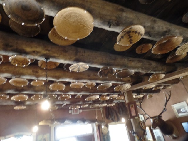
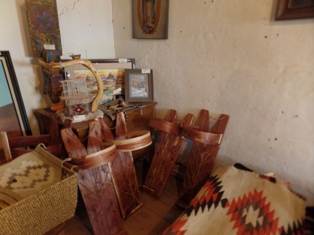
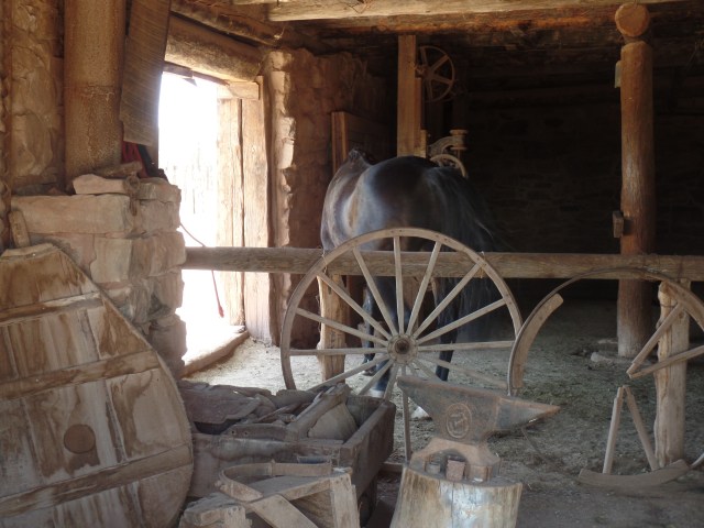
Indoors?  Lots of good stuff here, too.  We have Elks Theater, in a restored grand opera house and Prescott Center for the Arts, in a restored church.  Both are downtown.  The Courthouse Plaza has many evening concerts, during the warmer months and street festivals abound, particularly on weekends.  Yavapai College, on the east side of town, and Prescott College, slightly northwest of downtown, offer many artistic events, as well.  YC hosts Prescott Farmers Market, on Saturday mornings (7:30-12).  Embry Riddle Aeronautical University, 5 miles north of downtown, has an Observatory open to the public.  Sharlot Hall Museum is a must, for anyone seeking to understand Prescott’s history.

Now for the  brew.  I don’t imbibe alcohol, but there are more places to sit and hoist a few than this post has space.  A  few, for which I can vouch:  Matt’s, The Bird Cage, Rickety Cricket and Lil’s are all on Whiskey Row.  The Raven Cafe, one of my favourite restaurants and music venues, also has a full bar.  Brewery/Restaurants also are in no short supply:  Prescott Brewing Company, Granite Mountain Brewing, Coppertop Alehouse, Barley Hound-you get the picture.  Coffee is also in plethora:  Wild Iris, Ms. Natural’s (my absolute fave restaurant, as well), The Porch, Frannie’s (also has great frozen yogurt and pastries), Cupper’s, Firehouse Coffee, McQueen/Rustic Pie (also a  food fave), Method (on the north side of town) and Third Shot (in Gateway Mall, three miles east of town) are a few who come to mind.

Prescott’s Eats?- I mentioned Ms. Natural’s (The owner and a couple of the servers are personal friends and the name says it all, with regard to the fare).  Rustic Pie, Shannon’s Gourmet Deli, Dinner Bell Cafe, El Gato Azul, Rosati’s, Two Mamas Pizzeria, Chi’s Cuisine and Bill’s Pizza are all relatively small venues, but well worth a try.  So, too, are the larger places- Murphy’s, Gurley Street Grill, The Office, Rosa’s Pizzeria, Lone Spur, Bill’s Grill, Zeke’s Eatin’ Place (in Frontier Village, east of town), Park Plaza Liquor/Deli.  Other spots abound, so have fun exploring.

Finally, a few words about the periphery.  Prescott Valley, our sister town, is worthy of a day or two of exploration all its own.  It’s a lot of strip malls to take in, but they have a warm feel about them.  Rafter Eleven is a superb place for wine, coffee and dipping oils, located a block north of Highway 69, off Glassford Hill Road.  Backburner Cafe is on the north side of town, at the corner of Robert Road and Spouse.  Further east are:  Dewey-Humboldt, with Leff-T’s Steak House and Casa Perez Family Restaurant, plus a cute “Main Street”, at Humboldt; Mayer, with Flourstone Bakery and Arcosanti, a fascinating eco-architectural establishment.  Northwards is Chino Valley, with Danny B’s Seafood Cafe and the fascinating  Garchen Buddhist Institute, about seven miles east on Perkinsville Road (The access road is narrow, windy and steep in places).  Westward lie Kirkland, with its own steakhouse, replete with sawdust on the floor and bowls of unshelled peanuts on the table and Yarnell, with some interesting antique shops, Shrine of St. Joseph and, south of town, Granite Mountain Hotshots Memorial State Park, where one may hike five miles or so, to the site of the tragic 2013 fire, which claimed the lives of 19 Wildland Fire Fighters, paying respects along the way. Nichols West Restaurant, in Congress, at the base of Yarnell Hill, is a fine place to replenish oneself, after such an outing.  Finally, fifteen miles northeast, on Highway 89A, is the mountain town of Jerome, with Haunted Hamburger, Mile Hi Grill, Bobby D’s BBQ, Flatiron Coffee House, Jerome State Park and an inn that was once a brothel. The road, both east and west of town, is not for the faint of heart-yet the streets are routinely packed with visitors from Phoenix, Scottsdale and all over.  Get there early.

This is my longest post ever, I know, but Home Base is worth every word.
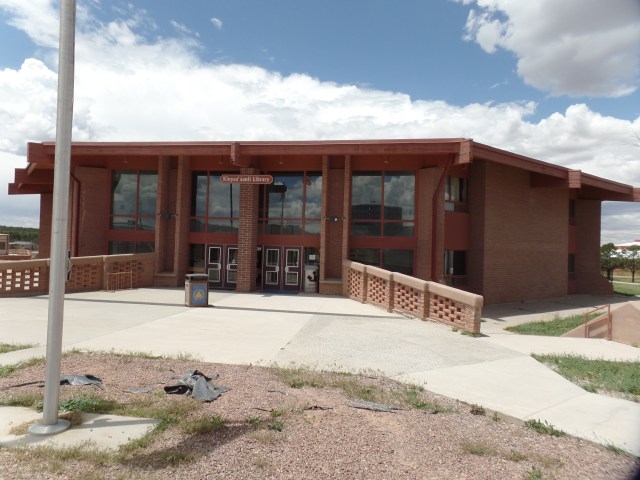
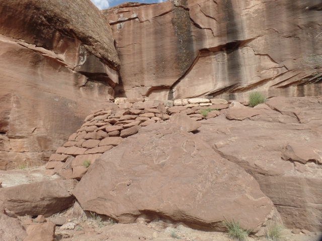
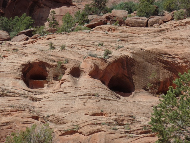
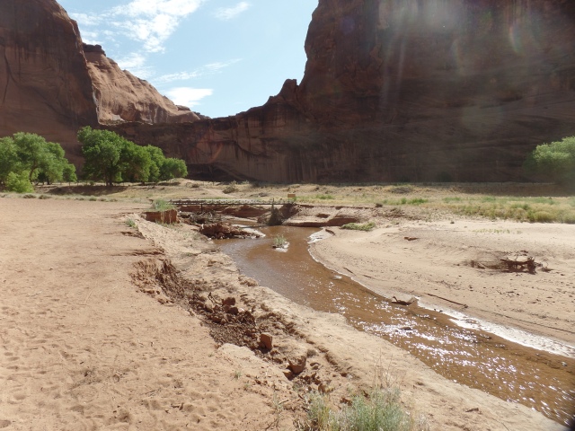
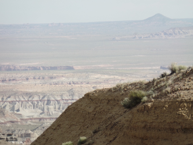
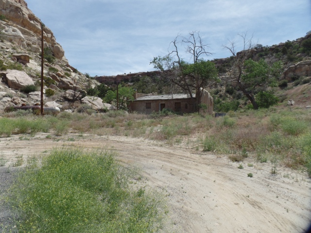
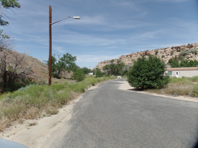
 

Days of Heaven

0


June 2, 2019, Bellemont-

The past few days have seen confirmation of my path, this summer.   The last minute invitation to an event by Global Stilt Alliance, entitled Congress: The Legislation, brought me to Arcosanti, normally a place I visit in Autumn, on Friday evening.

A performance of young stilt artists, accented by two spoken word performers, drove home the point that we need to move beyond solving our problems through separation and the building of walls.

Yesterday, I felt the sadness of some who have bonded deeply with me, when it was time to let my friends at the Farmer’s Market know I would not be back there until August 3. This gave me another perspective on the occasional objections to my wanderings, from some of my fellows in Faith.

Saturday evening, though, did accomplish the laying of a foundation for regular meetings of a group of spiritual tutors.  We had a fruitful discussion and sharing of expectations and concerns for the practice of our tutoring activities.

Today, I was greatly pleased to see a young Navy veteran join our breakfast group, at American Legion Post 6.  The perspectives and ideas of the newest generation of military veterans are long overdue for inclusion in service organizations.

This afternoon and evening, I spent the first of several days at this Baha’i retreat property, west of Flagstaff.  Clearing brush from the area took about ninety minutes.  Then came an evening of quiet reflection and meditation.  Arriving at a more present state of mind is one of the sweetest results of the relative isolation I enjoy this evening.  Thinking over a couple of minor faux pas, which occurred yesterday evening and this night, during routine dinner outings, I see things more form the perspective of those inconvenienced.  The solution lies in my own heightened awareness, even when somewhat fatigued.

Seven of the next eight days will be spent preparing for, and assisting with, a camp for middle school-aged youth.  I look forward to continuing my own reflections and meditation during this time, as well.

The Carving of A Confluence

6

April 22, 2019, Cameron, AZ-

I set out from Flagstaff, around 9: 30 this morning, heading to the western edge of this once sleepy sheep-ranching community, which is now tapping into the growing number of people who want to visit the Dineh (Navajo) people, see their starkly beautiful land and learn of their culture.

Here, at the foot of Gray Mountain, on the way to Grand Canyon National Park, lie two overlooks which capture that stark beauty and share an area regarded by the Dineh people as their point of emergence from the underground, following a long ago calamity, and thus a sacred site.

It is the last segment of the Little Colorado River, approaching and reaching its confluence with the Colorado River, after a 338 mile journey, from the White Mountains of eastern Arizona, through the Painted Desert and Coconino Plateau.

A two-hour exploration of the twin overlooks offered these scenes.  Whilst some will say, “Well, what is so special about black and brown stone?” , the geological story told by the three main layers of limestone (top), granite (middle) and shale (bottom) is, like that of the Grand Canyon itself, a classic account of wind and water working together, with a fair amount of help from volcanic and seismic activity.

SAMSUNG CAMERA PICTURES

In the far background, please note Navajo Mountain (Naatsis’aan), an igneous rock peak, the rises 10,387 feet, towering over Lake Powell, and like the lake, straddling the line between Arizona and Utah.

SAMSUNG CAMERA PICTURES

The layers of sedimentary deposit are quite visible, as one scans the rock, from top to bottom.

SAMSUNG CAMERA PICTURES

The water, whilst uniformly scant, looked clearer from the first overlook than from its western counterpart.

SAMSUNG CAMERA PICTURES

You may not that there is considerably more silt being washed into the river, as it moves closer to the confluence.

SAMSUNG CAMERA PICTURES

SAMSUNG CAMERA PICTURES

Looking closely, it might seem as if the granite canyon fascia resembles petrified warriors.

SAMSUNG CAMERA PICTURES

The algae working this limestone bench seems to show everything from a man with outstretched arms (foreground) to pictographs.

SAMSUNG CAMERA PICTURES

On the right hand side, below, the tall shafts of sandstone appear to be standing guard over the shallows of the Little Colorado.

SAMSUNG CAMERA PICTURES

In all the bareness, sage, a medicinal staple of the Dineh and Hopi, alike, grows in abundance. Desert bottlebrush is its accompanist.

SAMSUNG CAMERA PICTURES

The relatively wet winter has produced an effusion of greenery in the Gorge.

SAMSUNG CAMERA PICTURES

SAMSUNG CAMERA PICTURES

This struggling, but intrepid, river and its gorge, lead to the most spectacular sight on the North American continent.  In the next post, I will focus on the Grand Canyon of the Colorado River, at its east end, and the Desert Tower that overlooks the beginning of its Inner Gorge.


One Good Loop Deserves Another

2

April 7, 2019-

A week or so ago, one of Arizona’s premier hiking columnists, Mare Czinar, wrote of a new trail, branching in elliptical fashion off the Prescott Circle Trail, which I have hiked and chronicled, in the past three years.

A group called “The Over-The-Hill Gang”, loosely named for a Western movie set of characters, has taken it upon themselves to build this, and other new trails, as well as maintain older trails in the area.  I value their efforts.

The West Loop Trail begins at a large, new parking area:  White Rock.  Prior to this, those who wanted to hike in the region west of Thumb Butte had to leave their cars parked just off the road, or into the brush.  White Rock is a decent compromise, between “no footprint” activists and those who object to cars clogging the side of the well-traveled recreational road.SAMSUNG CAMERA PICTURES

The West Trail’s initial segment is .5 mile in length.  It features several granite and limestone boulder formations, so despite its brevity and flatness, this small sector is worthy of keeping one’s eyes open.  I reassured a tired little guy, doing the home stretch with his parents, that he was almost done.  It was nice to see that kept him going, instead of having Mom or Dad carry him.

The boulder fields are off-trail, thus making for a quick, easy start.

SAMSUNG CAMERA PICTURES

As with any large number of rocks, the imagination can show a given boulder to have a human or animal likeness.  I see the boulder in the background as George Washington.

SAMSUNG CAMERA PICTURES

Poking out from between two boulders is a charred tree limb, with the likeness of an angry snake.

SAMSUNG CAMERA PICTURES

These sandstone boulders are laid out, almost looking like segments of a large worm.  It was about here, that I turned left, onto the Javelina Trail, a part of Prescott Circle.

SAMSUNG CAMERA PICTURES

I took a brief rest at this spot, writing in my hiking journal, as to the ambiance of the place. I had the trail to myself, much of the time, with the preponderance of other users being bicyclists, whose presence is most always fleeting.  I step to the side for them, as downhill and flatland find cyclists going at a fast clip and uphill involves their huffing and puffing.

SAMSUNG CAMERA PICTURES

Here, I see another giant watchman, in the center of this scene.

SAMSUNG CAMERA PICTURES

This clump of boulders is another fine spot for sitting and meditating.

SAMSUNG CAMERA PICTURES

“Little Italy” is a side trail, which I will investigate on another hike.

SAMSUNG CAMERA PICTURES

This abandoned corral was part of a small ranch in the area, prior to the National Forest being established.  The rancher moved away, before the Forest took over.

SAMSUNG CAMERA PICTURES

All that is left of his home is this chimney.  It seems to have been used as an outdoor oven.

SAMSUNG CAMERA PICTURES

The reason for his choice of home is simple:  Here is the South Fork of Willow Creek.

SAMSUNG CAMERA PICTURES

From the creek, the path becomes Firewater Trail.  A brief climb takes us past this stern eagle-like formation.

SAMSUNG CAMERA PICTURES

Back on the flat trail, a dead alligator juniper resembles a welcoming totem pole.

SAMSUNG CAMERA PICTURES

At the junction of Firewater Trail and the homestretch of West Trail, a clever OTHG member placed this trail marker.

SAMSUNG CAMERA PICTURES

Surrounding peaks make their presence known, along the West Trail.  To the southeast, is Thumb Butte.

SAMSUNG CAMERA PICTURES

To the north is majestic Granite Mountain.

SAMSUNG CAMERA PICTURES

Working around a family who had come to this panoramic viewpoint for photos, I got this shot of the San Francisco Peaks.  SAMSUNG CAMERA PICTURES

After taking a photo of the three family members together, I headed down the last half mile.  Just before the parking lot, I came upon this little “critter”.

SAMSUNG CAMERA PICTURES

My left knee and cardiopulmonary system thank me for this afternoon- and I extend that thanks to the Over-The-Hill-Gang and the U.S. Forest Service.  It’s good to feel like old times.

A Step at a Time

2

March 31, 2019-

I made it to Planet Fitness, despite a sense of fatigue after a trip to Phoenix and back, having attended a worthwhile, but somewhat tiring, meeting.  I was glad to have not had to drive, with a competent friend at the wheel instead.

Tonight’s workout came after a twenty-minute catnap.  I feel better, having done the 30-minute express, followed by ten minutes on the hydrobed.  Bittersweet March has thus, in the end, affirmed that there is still quite a bit left in this sexagenarian frame.  I get appreciative glances from ladies, the younger among them knowing, as well as I do, that that is as far as it goes.  It feels nice, regardless.

It is now full-on Spring.  Tomorrow, we will see what practical jokes remain to be played.  Later in the month come Chalk-It-Up, Earth Day, Easter and the Twelve Days of Ridvan, commemorating Baha’u’llah’s Declaration of His Mission.  I will get my annual physical at the VA, sometime during the month, and will visit the Grand Canyon, on Good Friday.

April, as a wise colleague once remarked, cannot be the cruelest month.  Sorry, T.S. Eliot.

Busan’s Magnetic Side

2

March 16, 2019, Busan-

SAMSUNG CAMERA PICTURES

This ancient port has become, like many large cities across the globe, a place of high rise, high density apartment buildings and intense, often grid-locked, traffic.  Nowhere is this more clear than in the area called Marine City, close to the popular Haeundae Beach and Strip.

We used our God-given feet today, the final day of my entry into a Korean family.  Our foci were two:  Dongbaek,  site of the 2005 Convocation of the Asia-Pacific Economic Council and Haeundae itself.

The night before, shortly after our arrival back in Busan, we headed directly over to an older section of the city, to patronize a restaurant owned and operated by family friends, the Paks.

SAMSUNG CAMERA PICTURES

As the sign implies  it is a place for people to get a dose of quality American-style food.  The father and son also serve what I regard as the best coffee in Busan, if not in all Korea.  I was fortunate to have been given some, to bring back with me to the U.S.

SAMSUNG CAMERA PICTURES

Here is a view of Dongbaek, from Gwangan Pier, near Marine City.  Conversely, once at Dongbaek, we had a fine view of Gwanggalli Bridge. It is said to rival the Golden Gate and George Washington Bridges, when lit up at night.

SAMSUNG CAMERA PICTURES

We spent several minutes looking at the APEC House, site of the aforementioned conference.  We joined a group of visitors from west Africa, on this fine morning.

SAMSUNG CAMERA PICTURES

Miniature pines abound, on this small headland.

SAMSUNG CAMERA PICTURES

Below is a fine view of the traditional pavilion and of Dongbaek Lighthouse.

SAMSUNG CAMERA PICTURES

This mural of a Korean country scene greets visitors to APEC House.  I refrained from photographing the auditorium, to protect the privacy of a young Korean family, who were making a detailed visit to the conference center.

SAMSUNG CAMERA PICTURES

SAMSUNG CAMERA PICTURES

Above, is a statue of Choi Chi-won, regarded as the first great Korean advocate of Confucian teachings and etiquette.  He lived during the Silla Dynasty, in the Tenth Century A.D.  Below, is a shrine to the great teacher.  At the summit of Dongbaek, it is a serene place, most of the time. We were there only briefly, as an older man started to pester us.

SAMSUNG CAMERA PICTURES

Here is a view of Dongbaek’s southern tip.

SAMSUNG CAMERA PICTURES

This Mermaid Statue commemorates the legend of a princess from a foreign land, who pined away for her homeland, day and night.

SAMSUNG CAMERA PICTURES

Haeundae Beach Park includes this shady, forested area. We walked there, easily, from Dongbaek.

SAMSUNG CAMERA PICTURES

Modern Korean etiquette eschews photography of people, without their consent.  I was able to catch a glimpse of Haeunedae Beach, sans bathers.

SAMSUNG CAMERA PICTURES

Rabbits are seen as good fortune, as well as being symbols of fecundity.

SAMSUNG CAMERA PICTURES

Here is the southeastern edge of Haeundae Strip, a bustling commercial tourist area, where we had lunch.  Looking for a chicken restaurant, we found they open at 2 p.m., which is averse to my schedule. So, we settled for more burgers-at one of  the ubiquitous Hello, Patty cafes.  The people in this photo shrugged their shoulders at being photographed, so no harm, no foul.

SAMSUNG CAMERA PICTURES

With that my time in Korea is drawing to a close.  My time as a member of a gregarious extended family is, however, just beginning.

NEXT:  Further reflections on Korea-and the trip back to Arizona