The Road to 65, Mile 204: A Potlatch and A Walking Tour

6

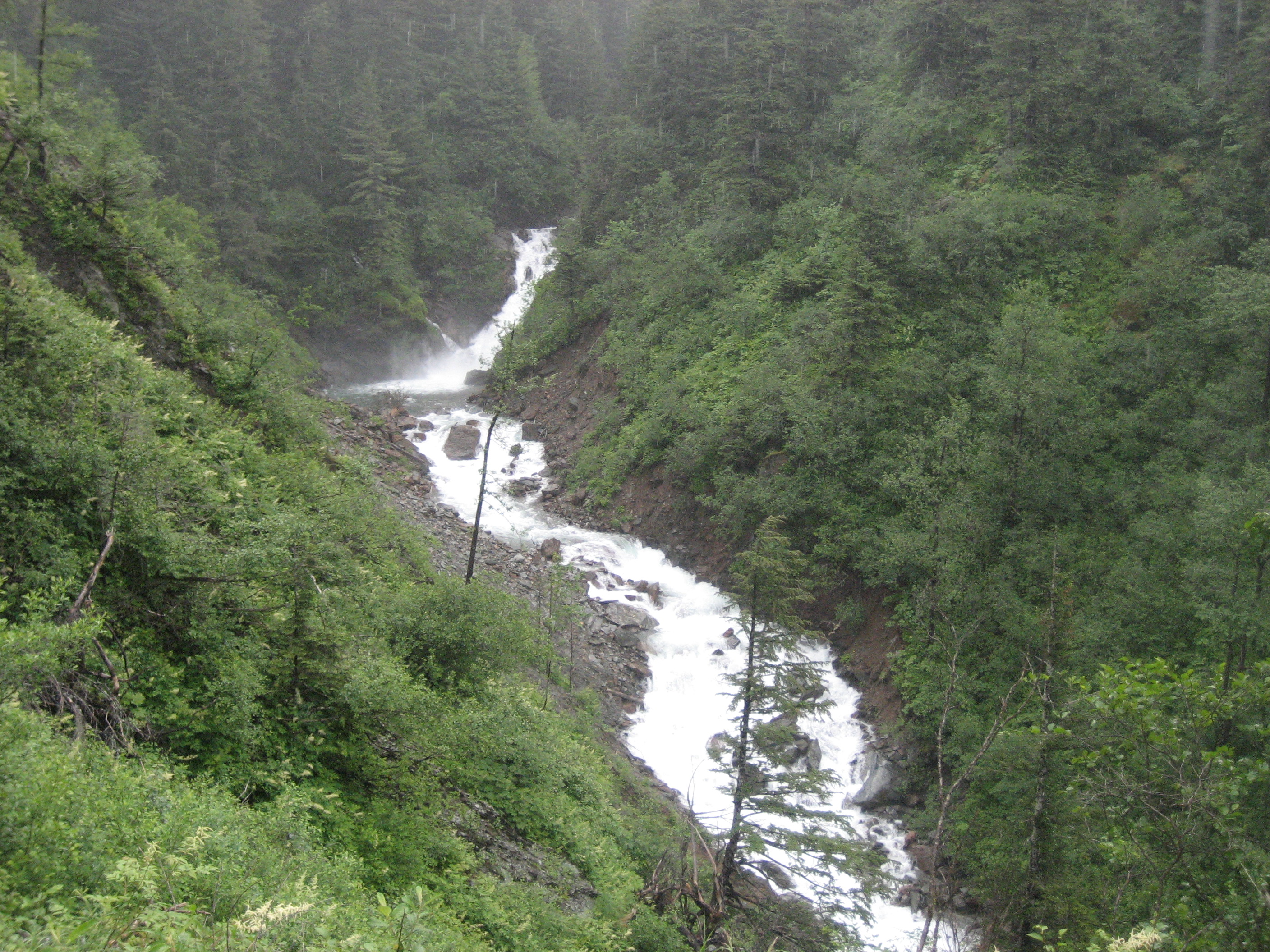
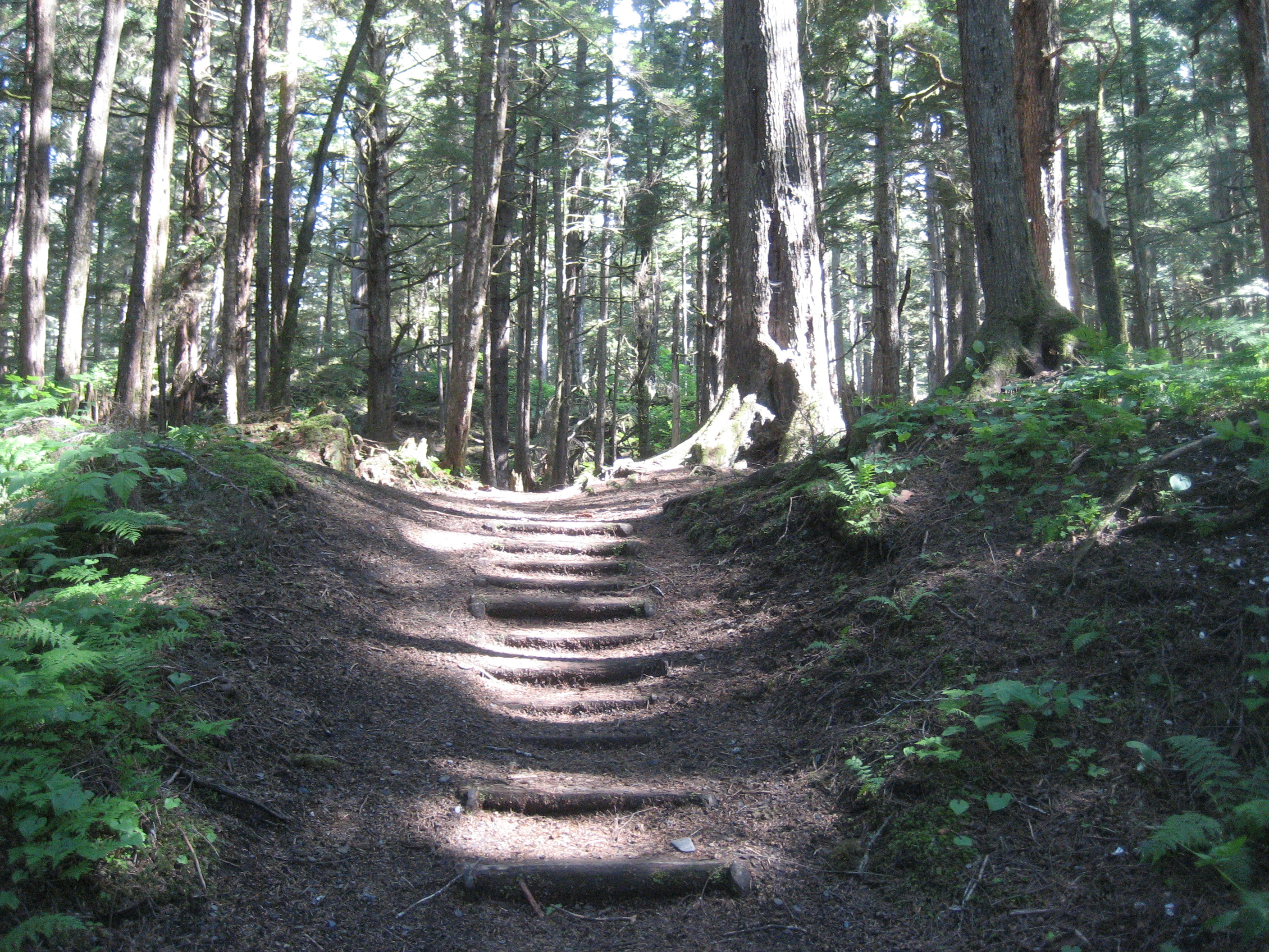
June 20, 2015, Victoria- I hit the ground running this morning, though it’d have been easy to laze the day away in Anacortes.  A three-hour ride across the straits lay Sidney, BC, a harbour town northeast of Victoria.  British Columbia’s capital was participating fully in Canada’s National Aboriginal Day.  While this was officially on Sunday, the festivities were going on all weekend, on the grounds of the Royal British Columbia Museum, a magnificent facility, which would have taken up the entire weekend, in and of itself.

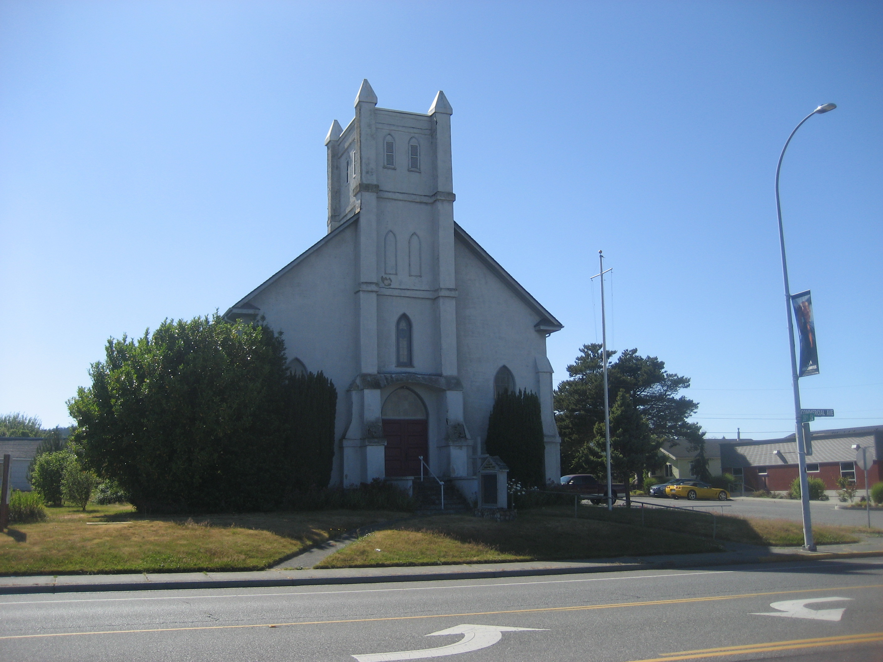
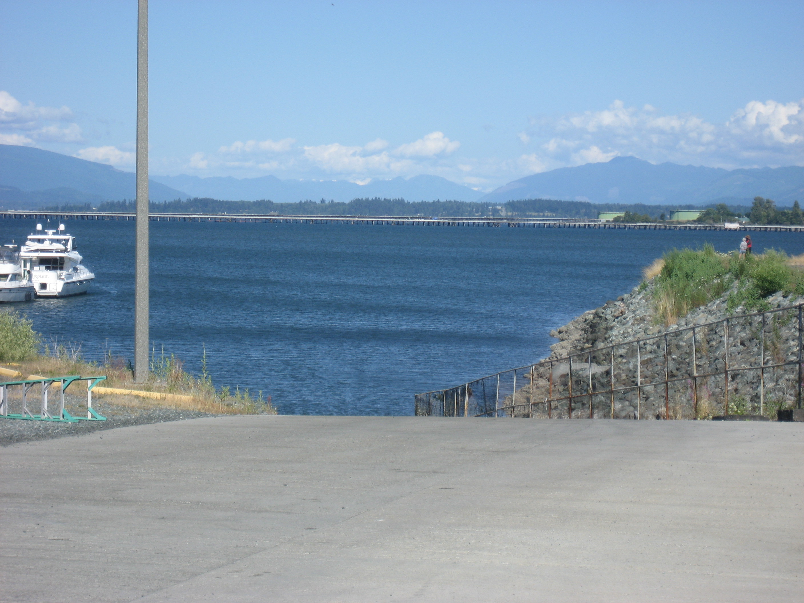
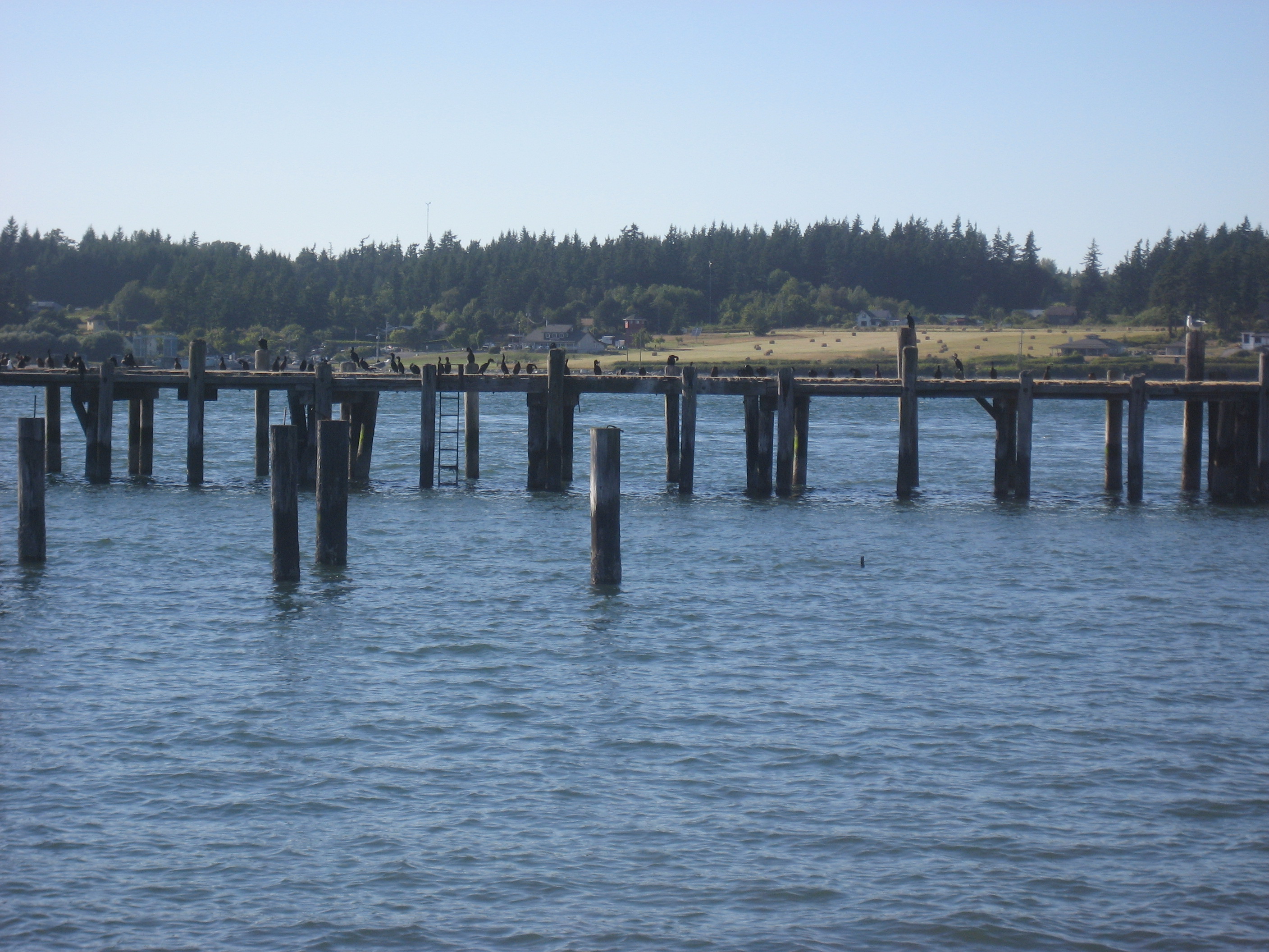
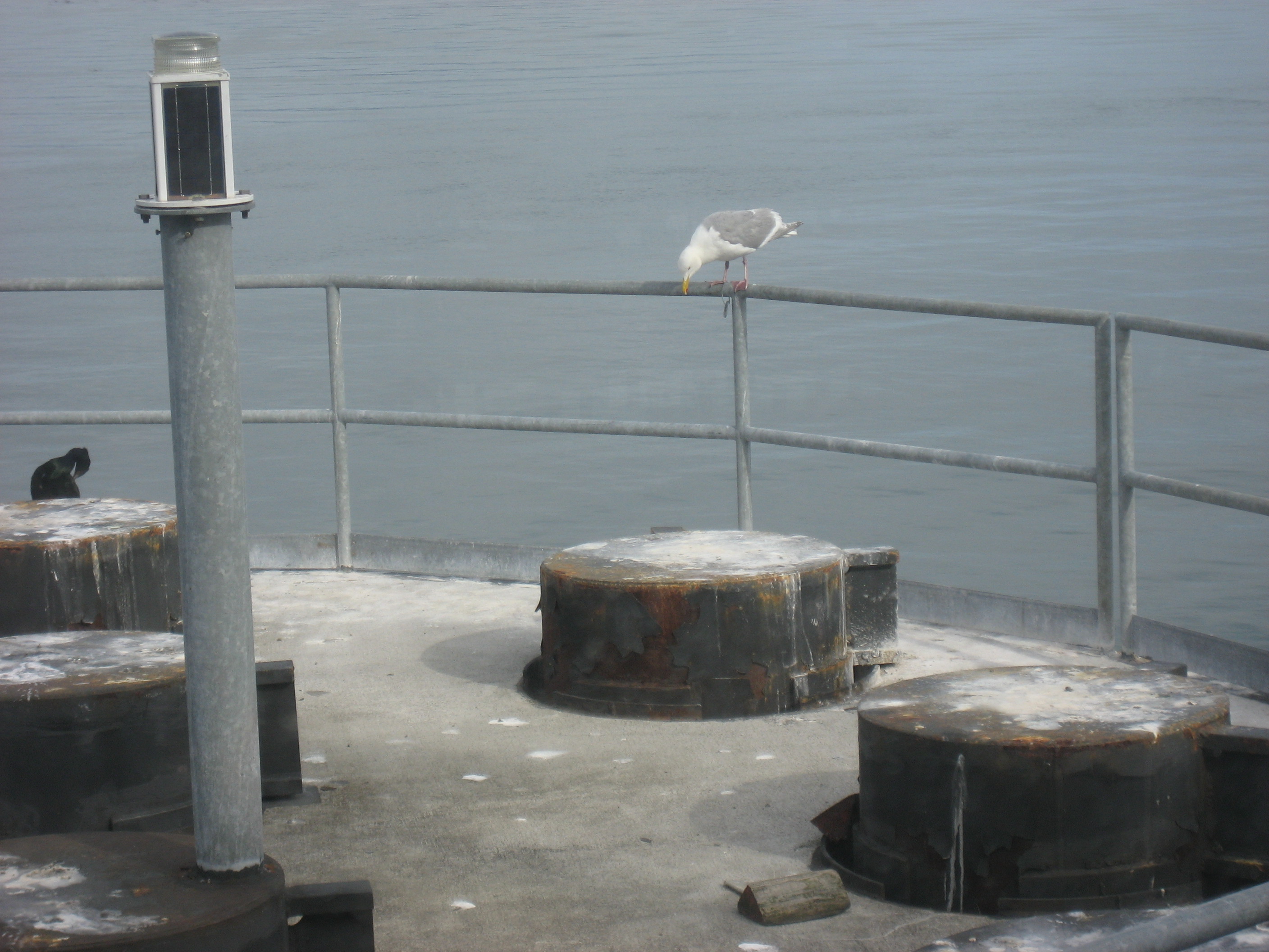
I zipped to the ferry station, west of Anacortes, and parked carefully in the day lot, as I would be returning at night.The wharfside featured some competitors for breakfast.

002

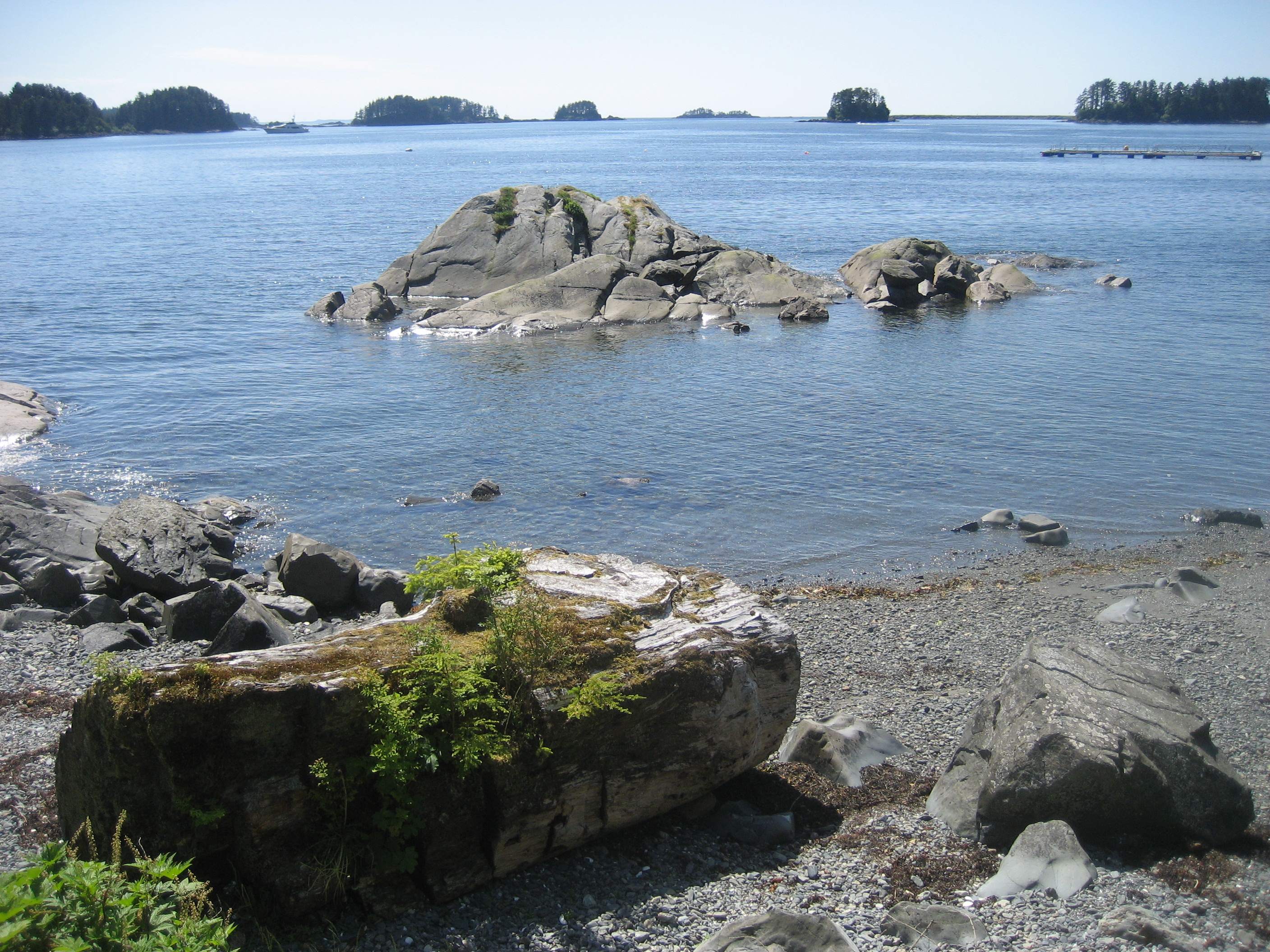
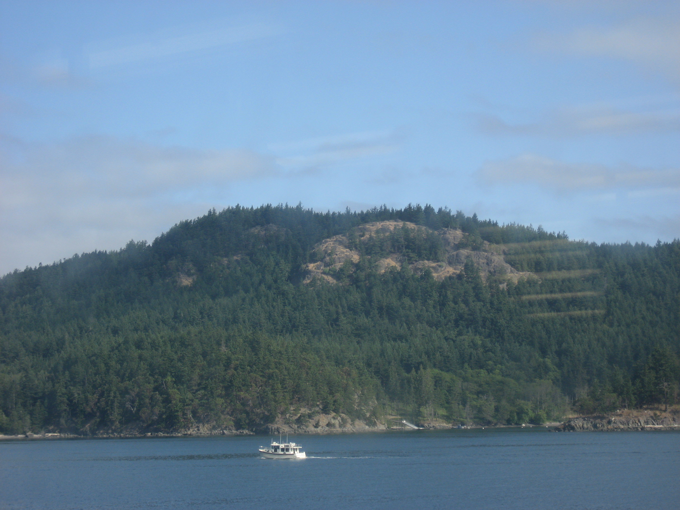
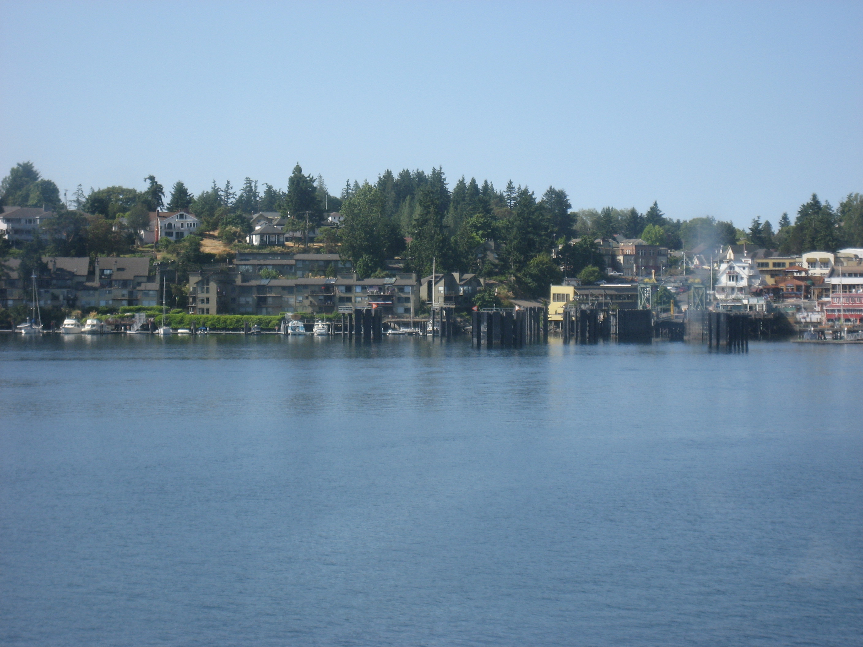
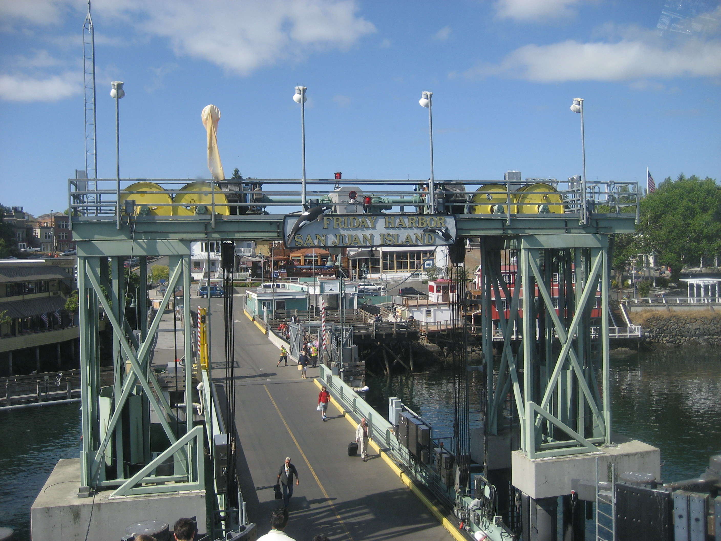
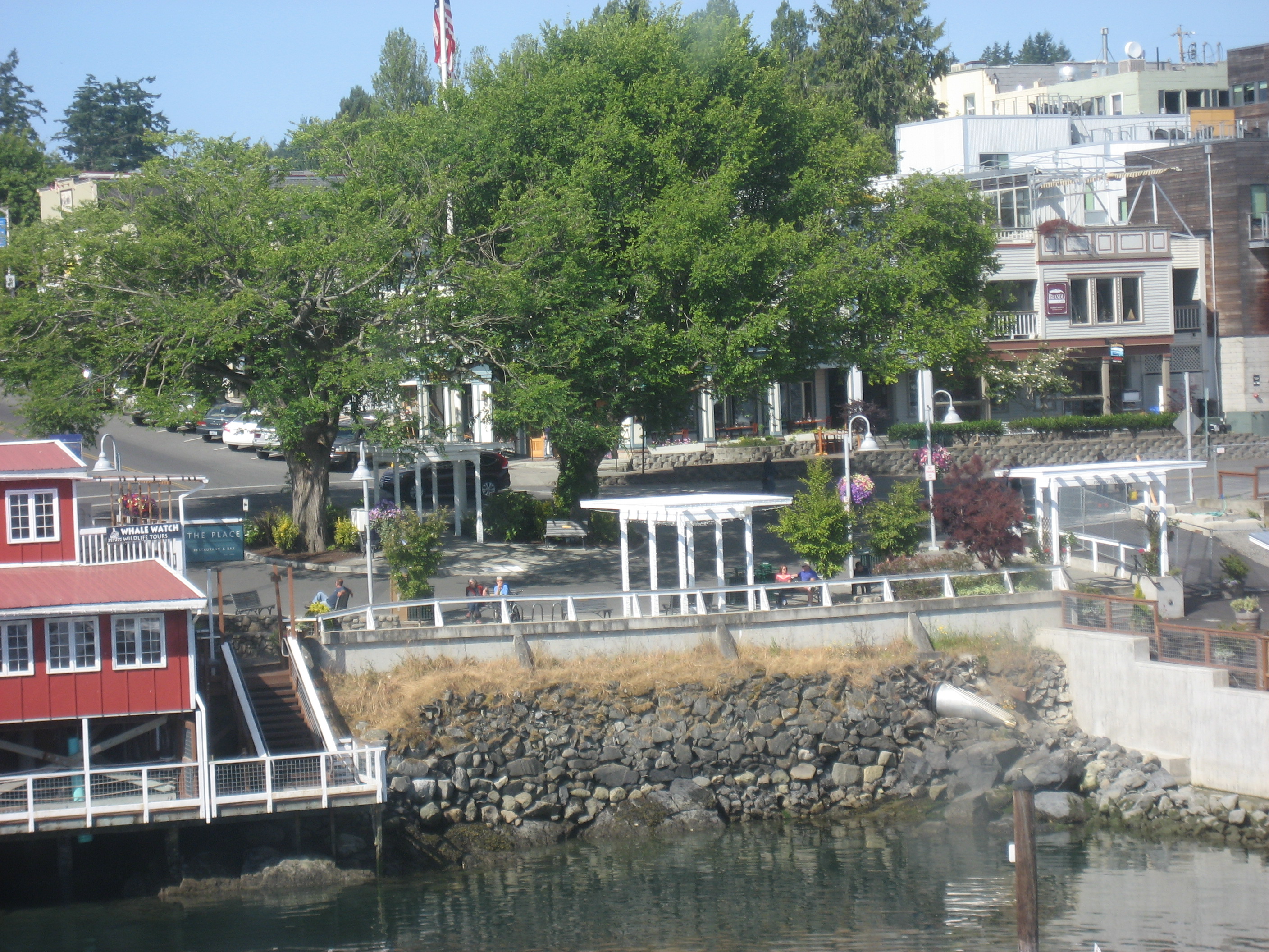
The cormorants far outnumbered the lone gull, however, so he followed us into the water for a while.  Our first stop was Friday Harbor, a delightful little town I might like to explore further, some day.

003

014

017

018

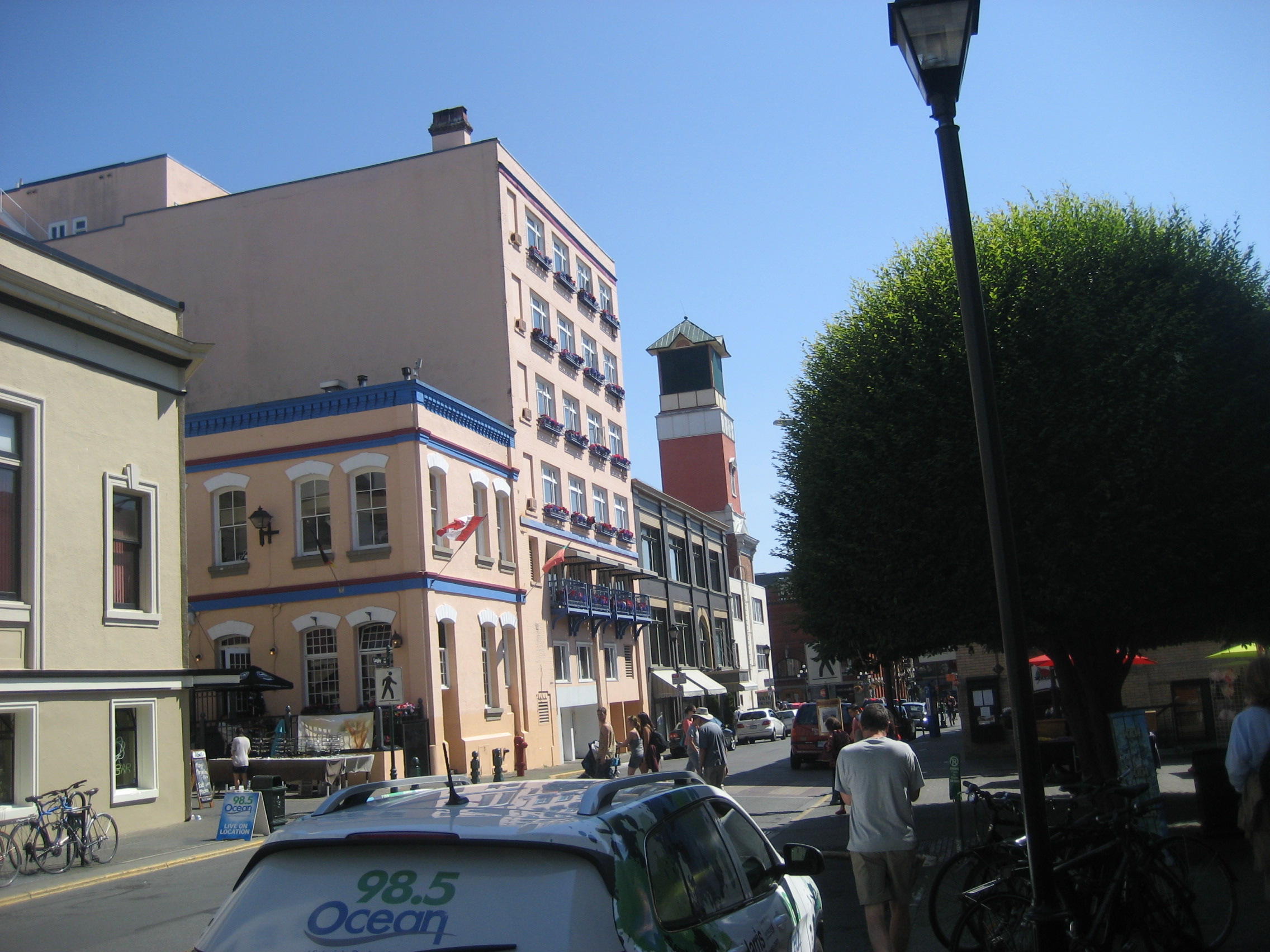
The same is true of Sidney, the small port where we landed.  A gruff Customs Officer gave me the third degree, then sent me happily along, to the port’s charming downtown.

025

027

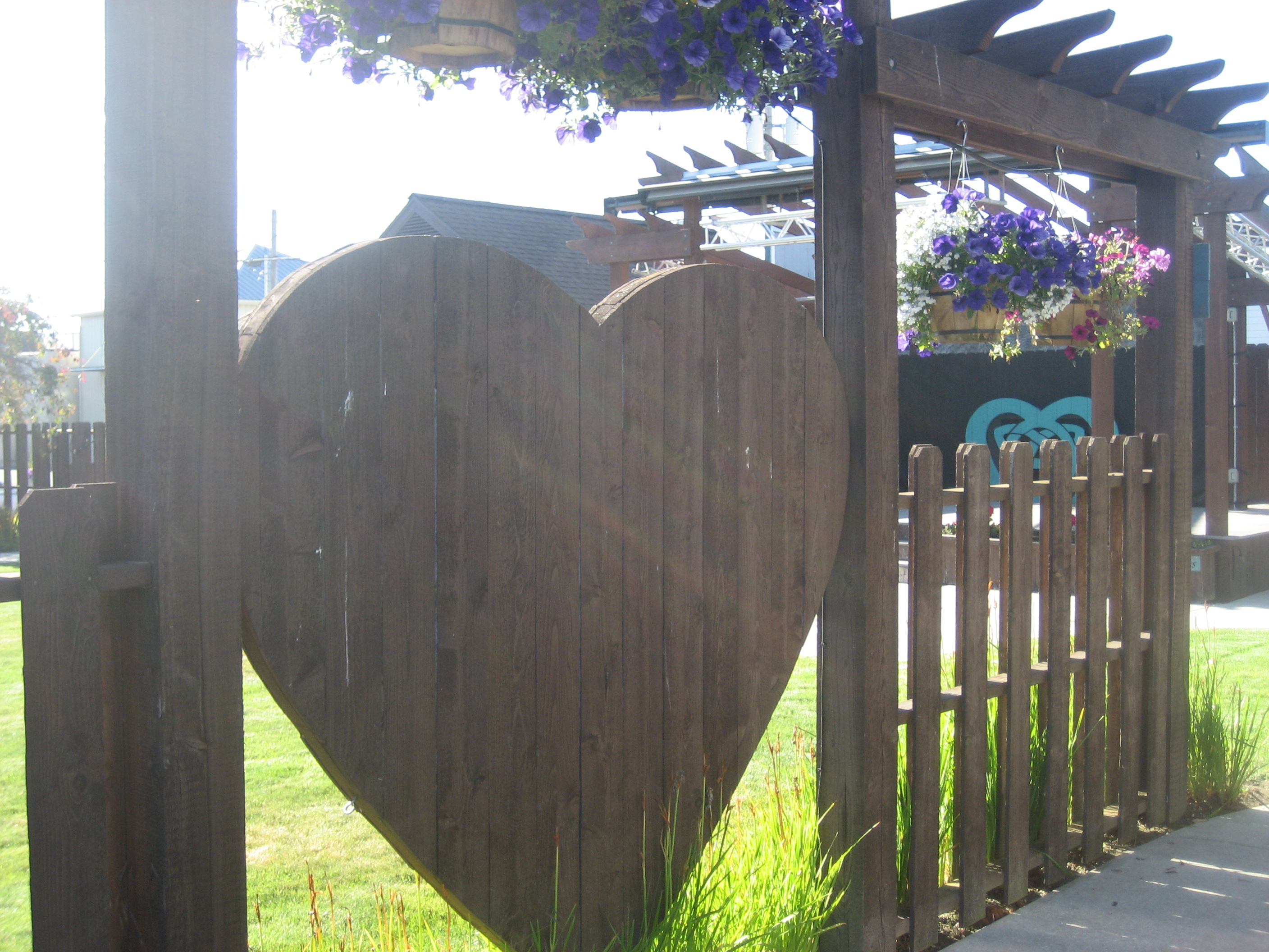
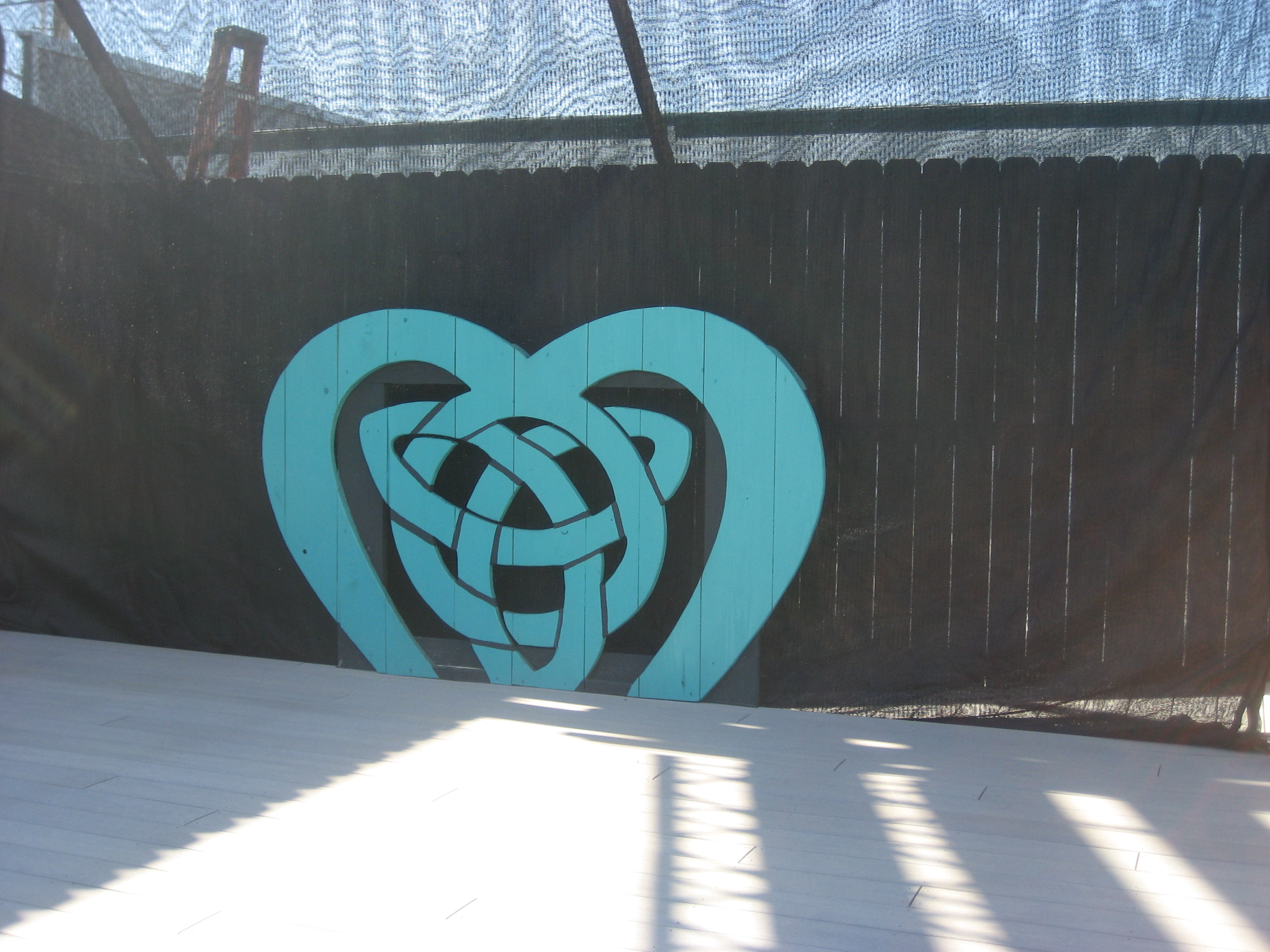
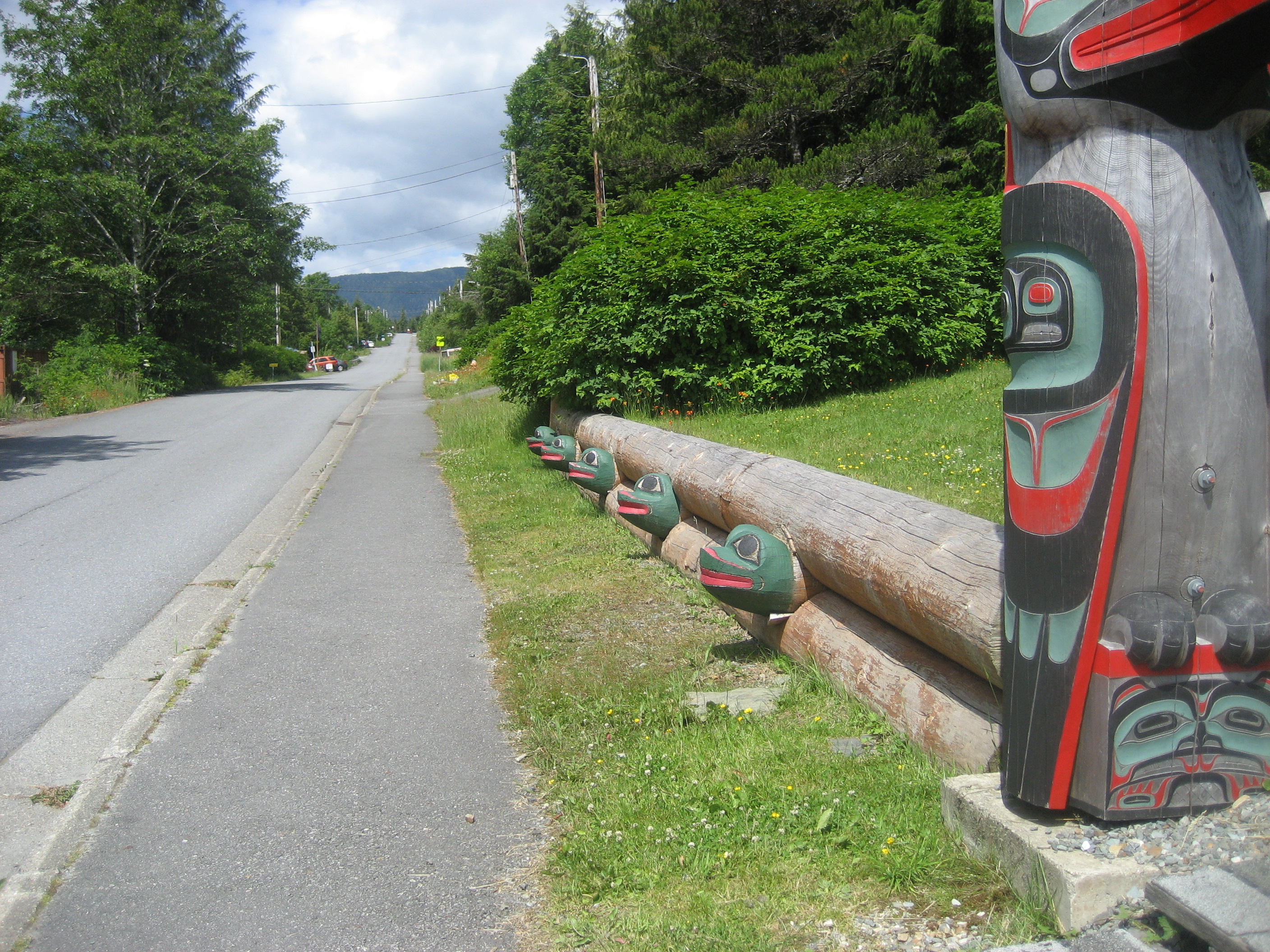
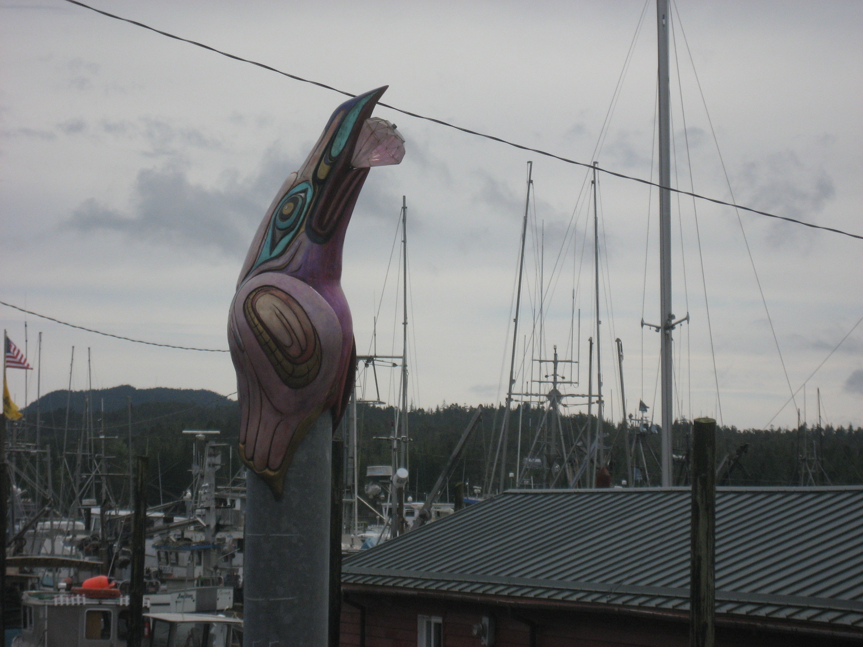
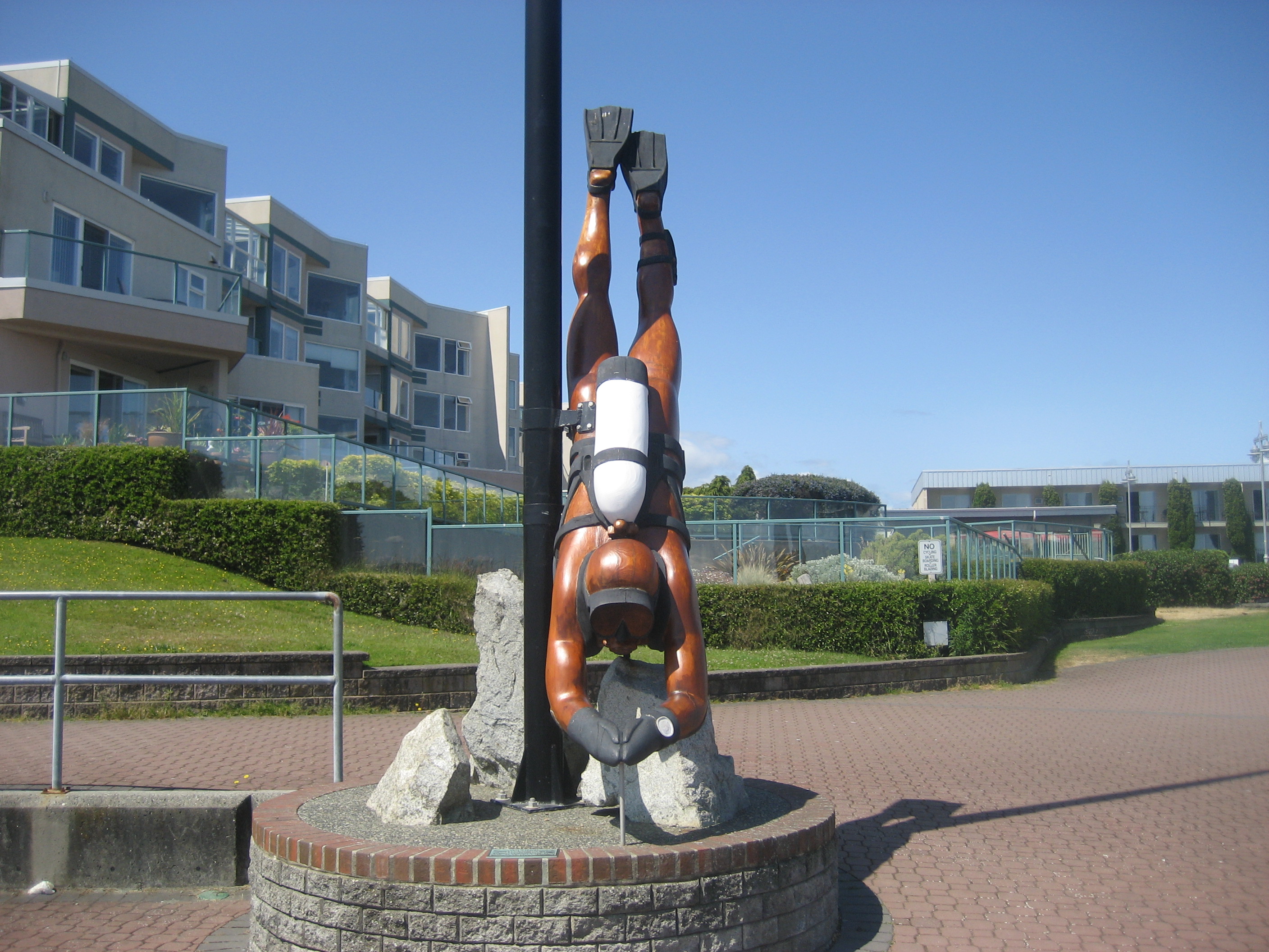
My first act was to check Eastview Park, and its sculptures.

028

032

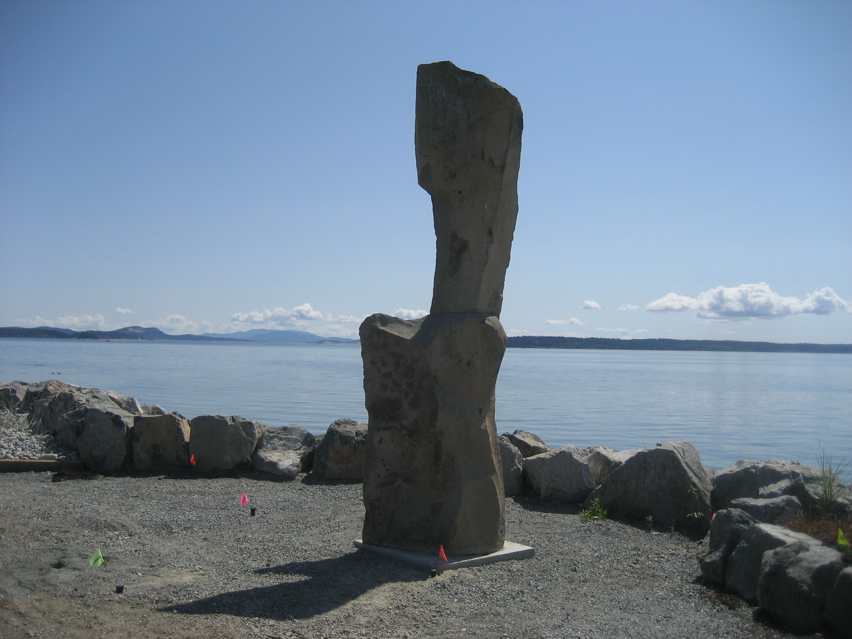
The artwork continued, downtown.

038

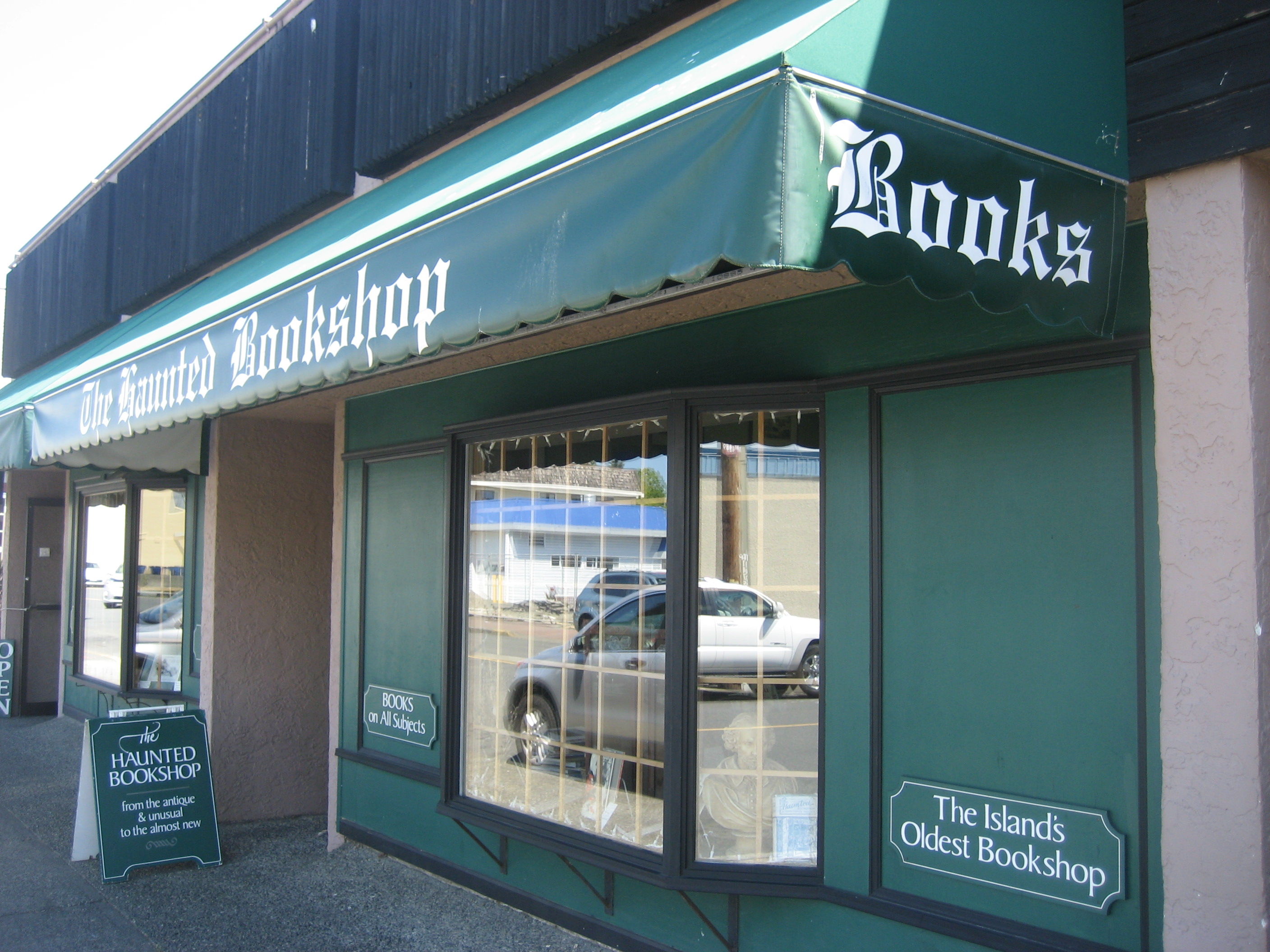
I spent about 20 minutes and C$ 10, at Haunted Bookshop, said to be Vancouver Island’s oldest.

039

The proprietor was kind enough to give me change for the bus to Victoria.  I took a double decker, going to the top tier, and engaging in conversation with a Korean student, resident in Vancouver, who was also here on holiday.  He was primarily interested in shopping, and in going to Butchart Gardens, which I had already consigned to a future visit.  They are another site that is worth a full day, in and of themselves.

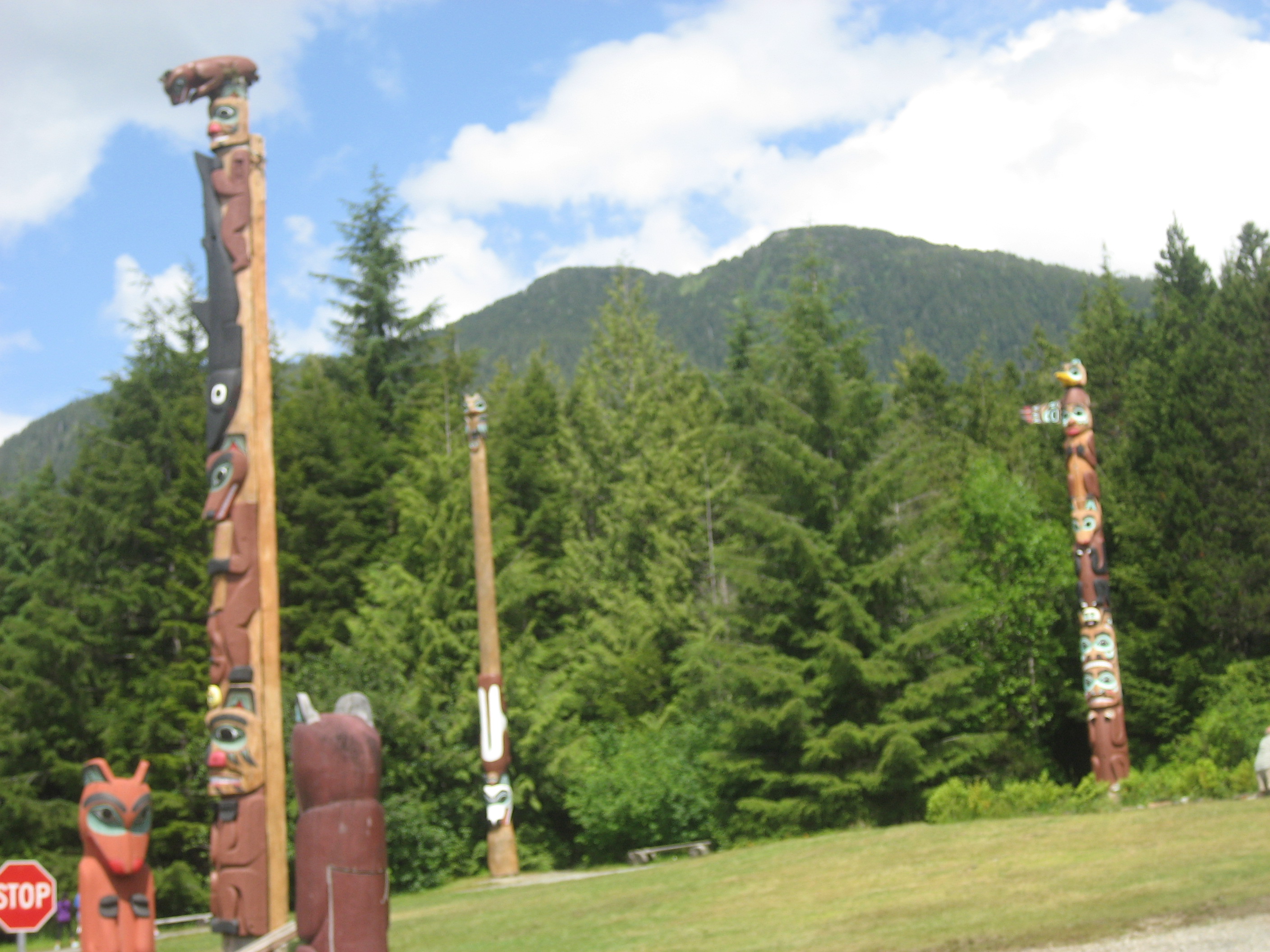
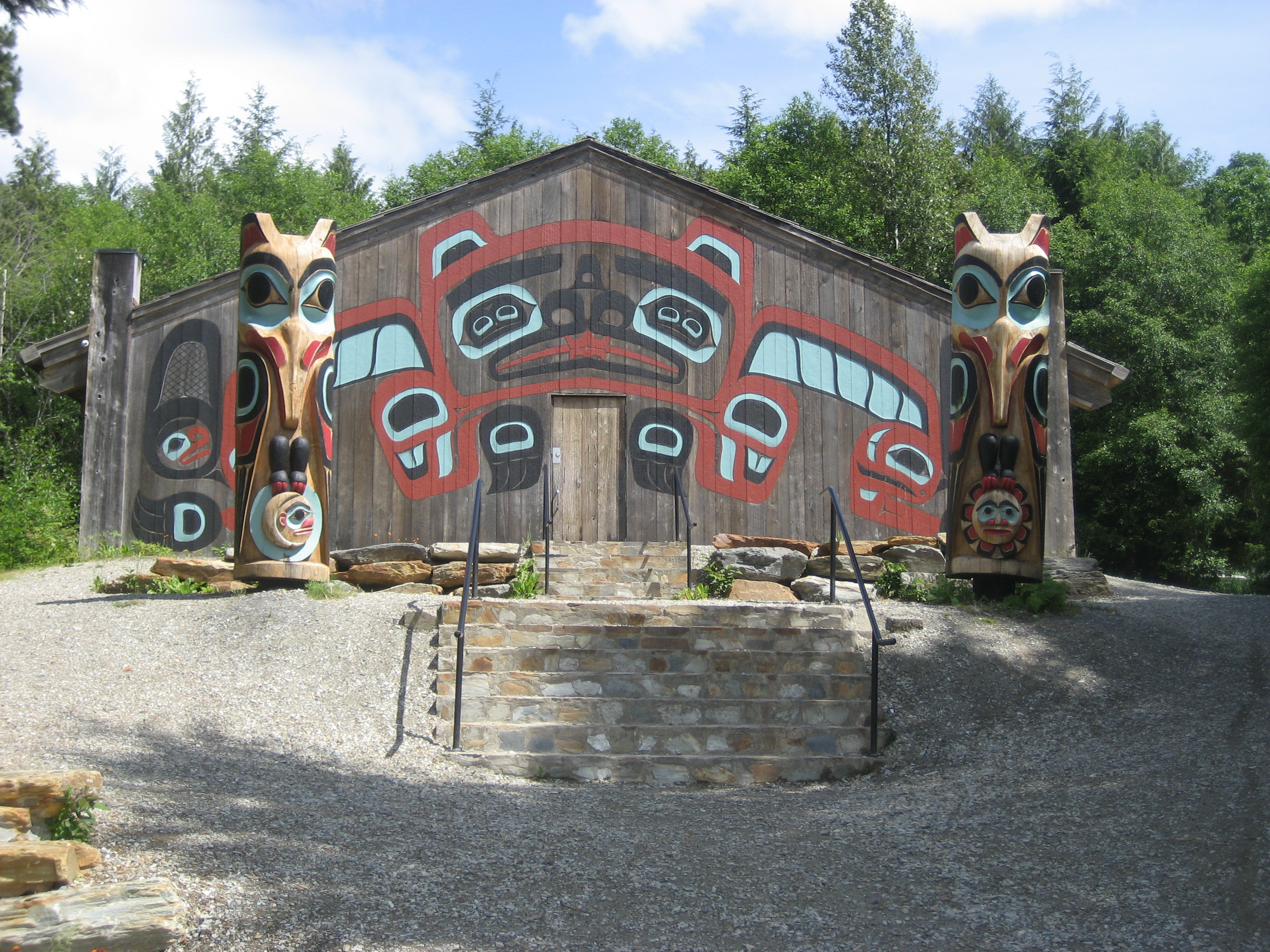
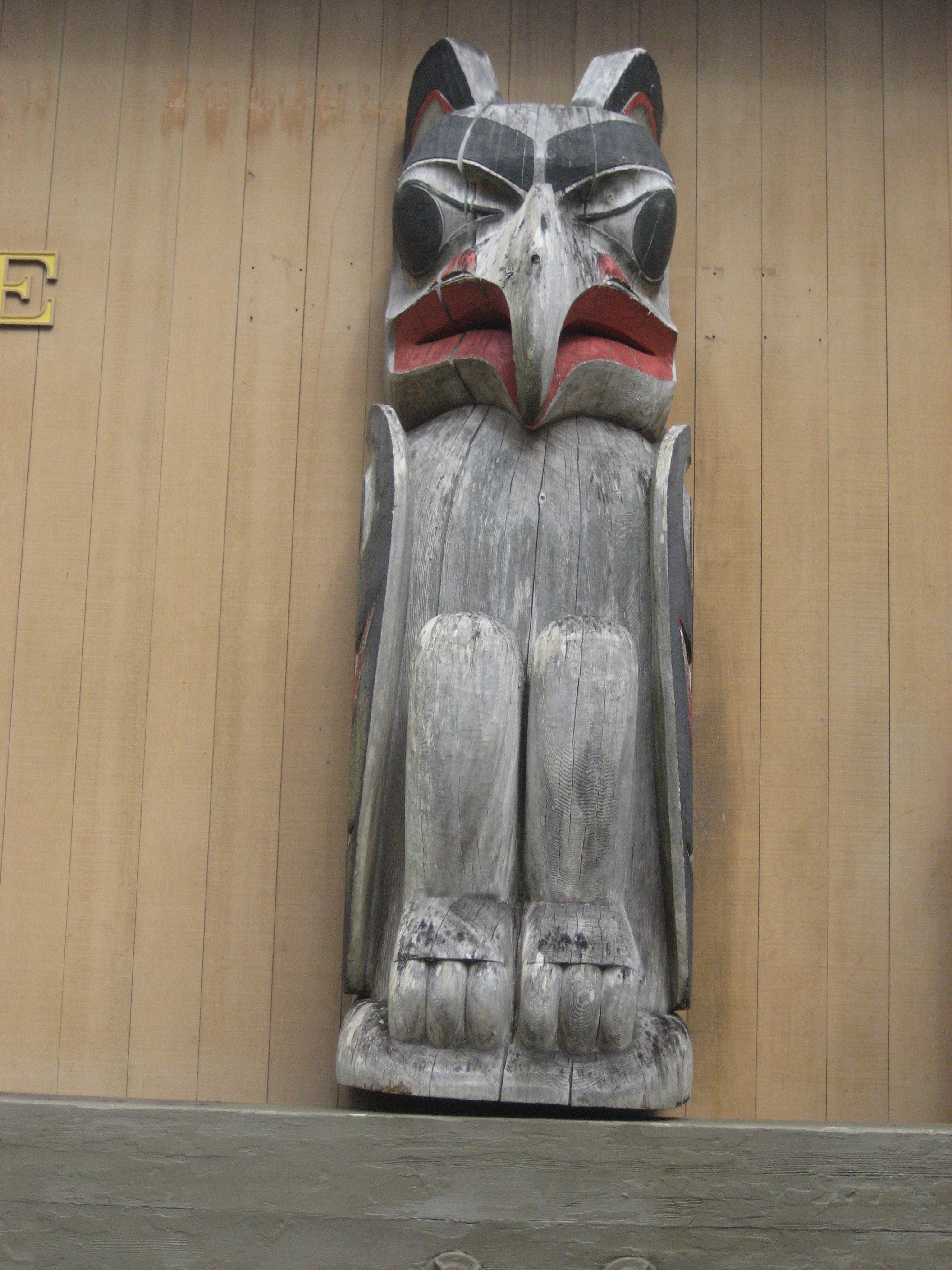
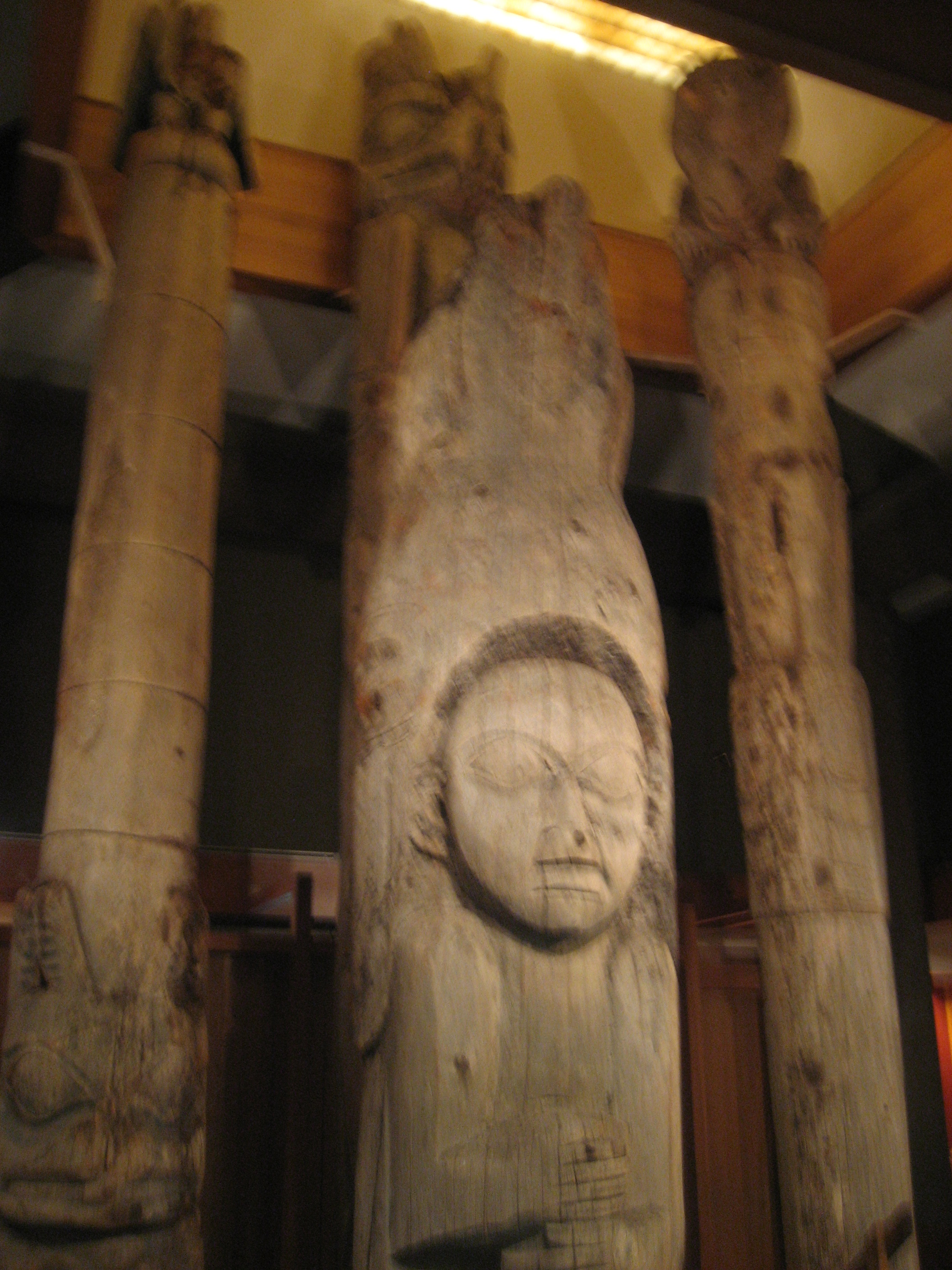
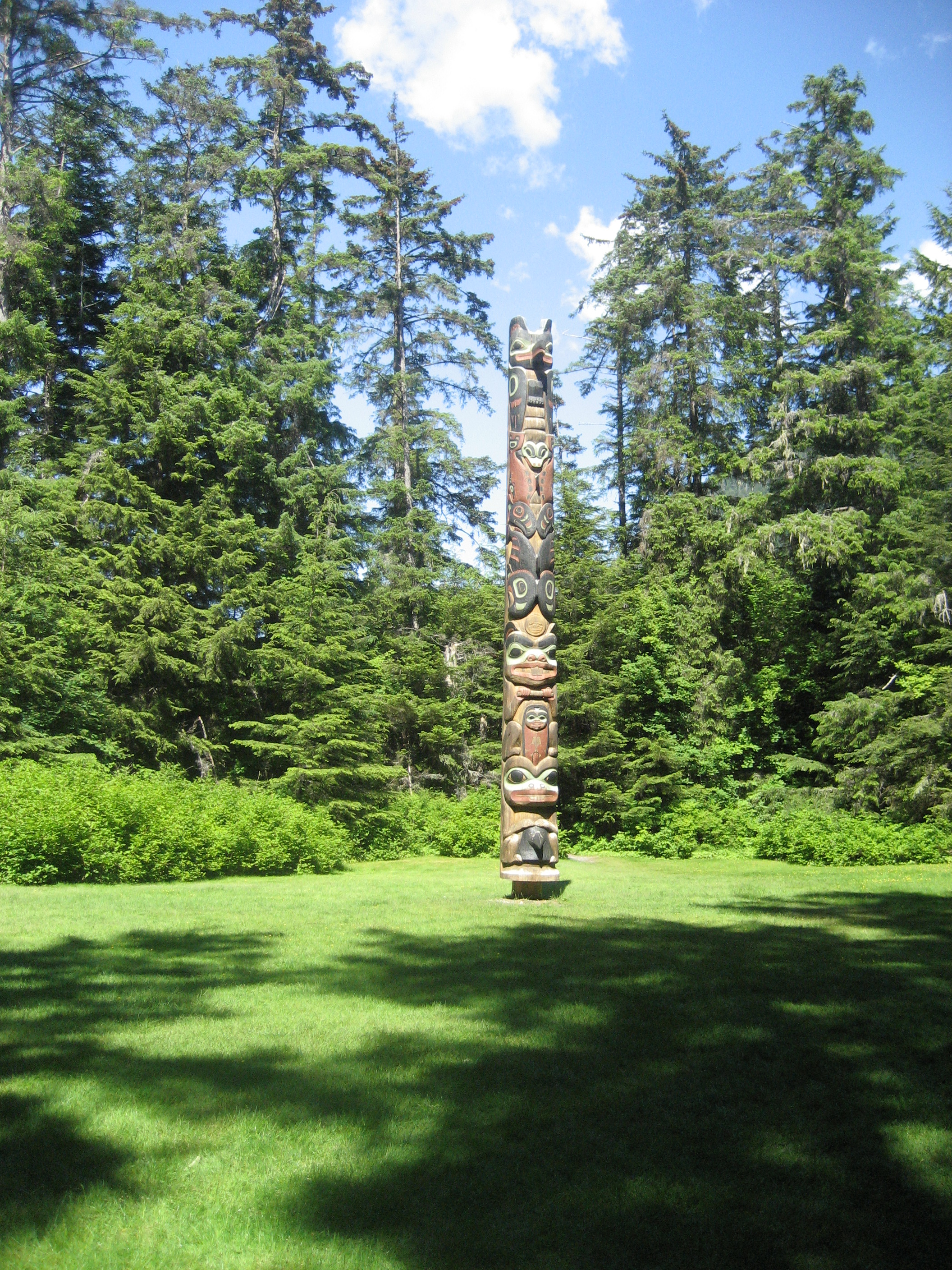
Upon arriving at the potlatch site, I took several minutes to wander among the totem poles of the Royal Museum grounds.042

045

050

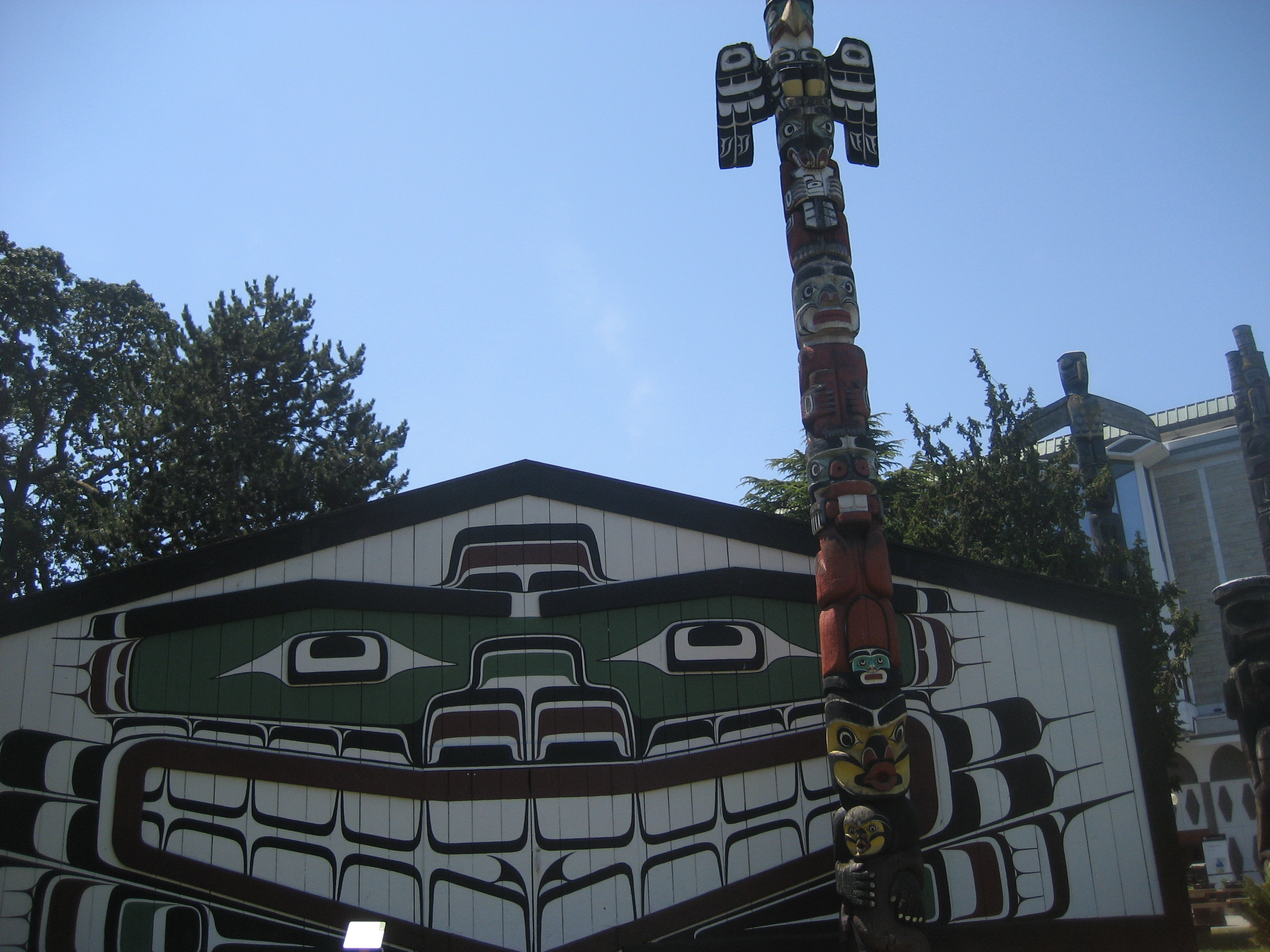
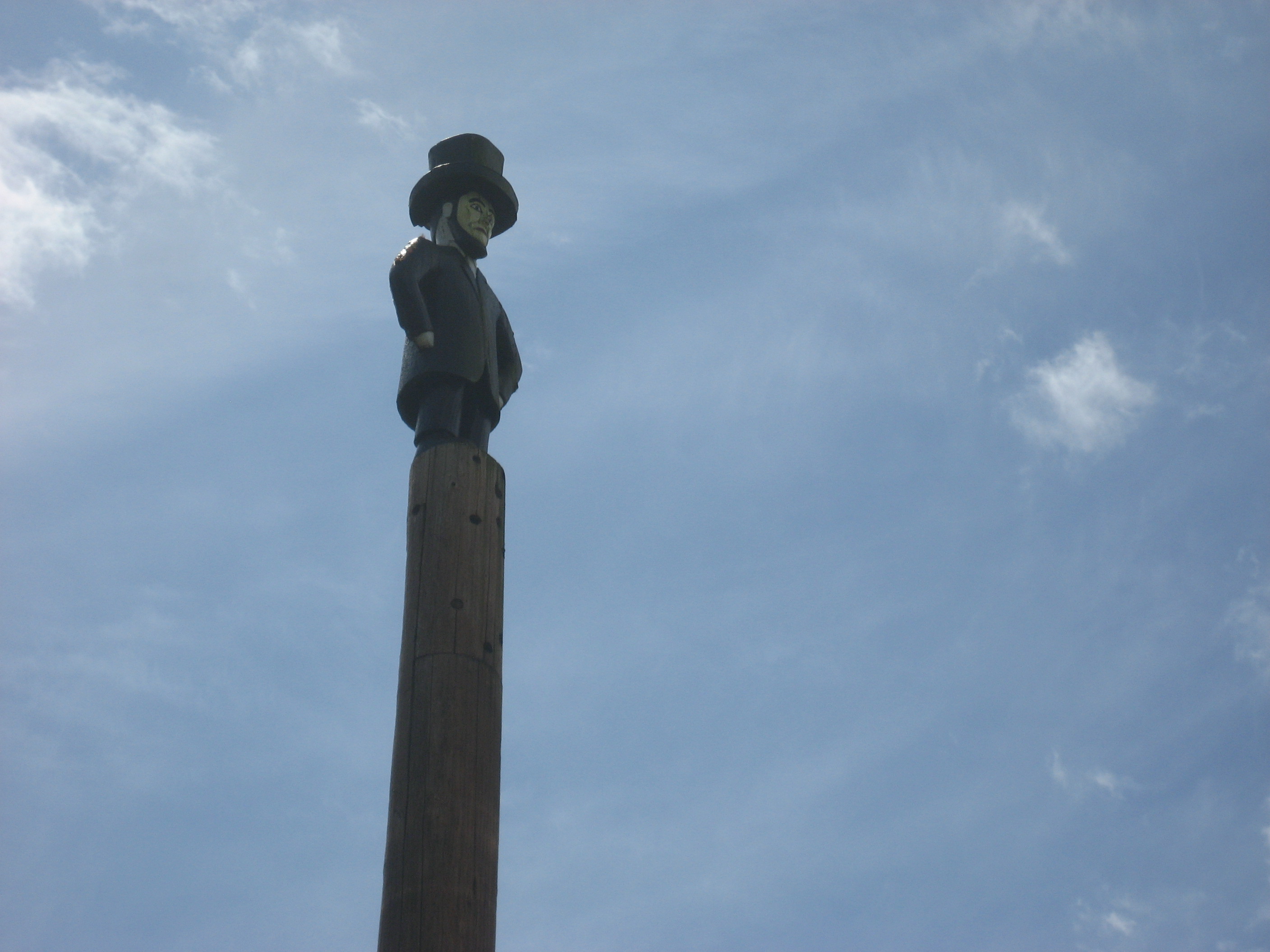
I also took in the Helmcken House, home to Dr. John Helmcken and his family, in the late 19th Century.  Dr. Helmcken persuaded fellow British Columbians to join the Dominion of Canada.

052

This carillon, on the north side of the museum grounds, adds a more contemporary touch to the mix.

068

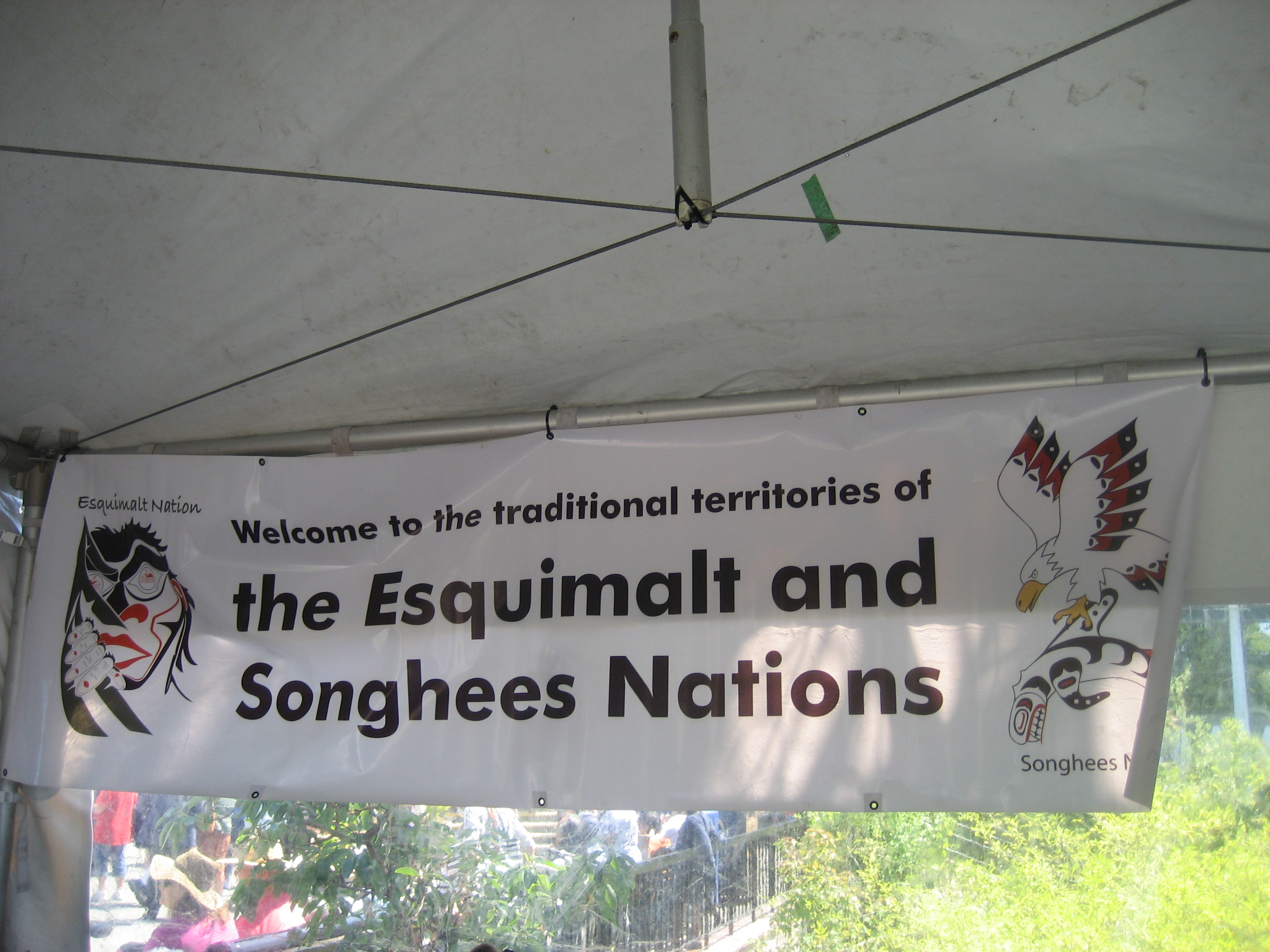
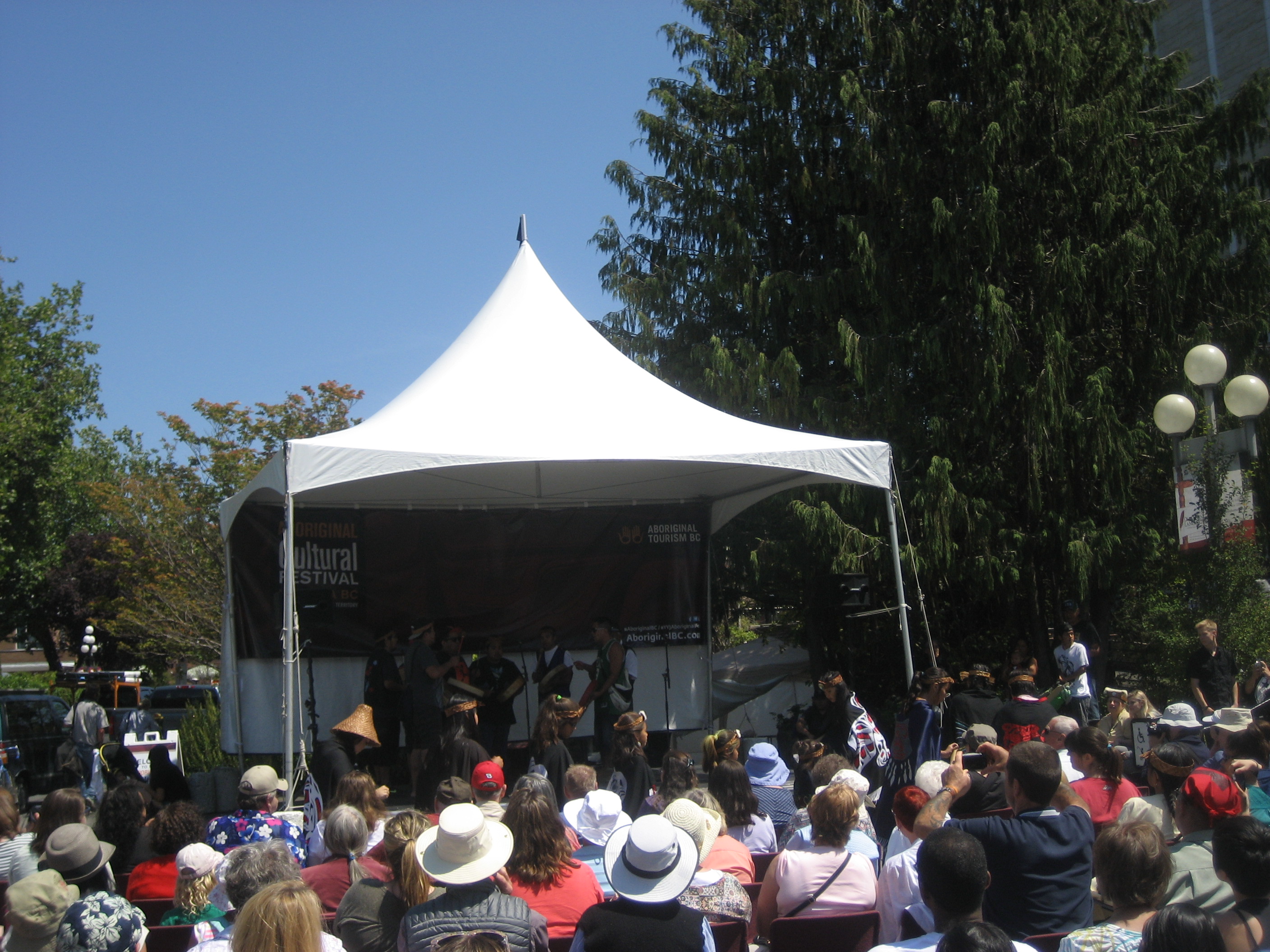
Once into the Potlatch area, we were set straight as to where we were.  The Songhees and Esquimault (Es-KWY-mawl) are working commonly, to preserve Aboriginal fishing rights and guard the health of the waterways.

070

I was taught, from an early age, that listening and observing were especially important, when in the presence of Native elders.  Of course, these skills certainly lend themselves well to getting along in ANY company.  I watch a seal-hunting dance, by some of the Songhees people, after having enjoyed a bowl of Vancouver Island-stye clam chowder and fry bread, an Aboriginal staple, across the continent.

072

While waiting for the walking tour guide, I took in the British Columbia Parliament Building and the Empress Hotel, diagonal from Parliament.  The neo-Baroque  British Columbia Parliament Buildings were completed by Francis Rattenbury, in 1898.

075

The Fairmont Empress Hotel, completed in 1908, was the western showpiece of the Canadian Pacific Railroad’s hotel line.  It certainly competes with the grand hotels of Montreal, Toronto and Vancouver, in terms of ornateness.

088

I’m sure Queen Victoria would have approved of the city named in her honour.

086

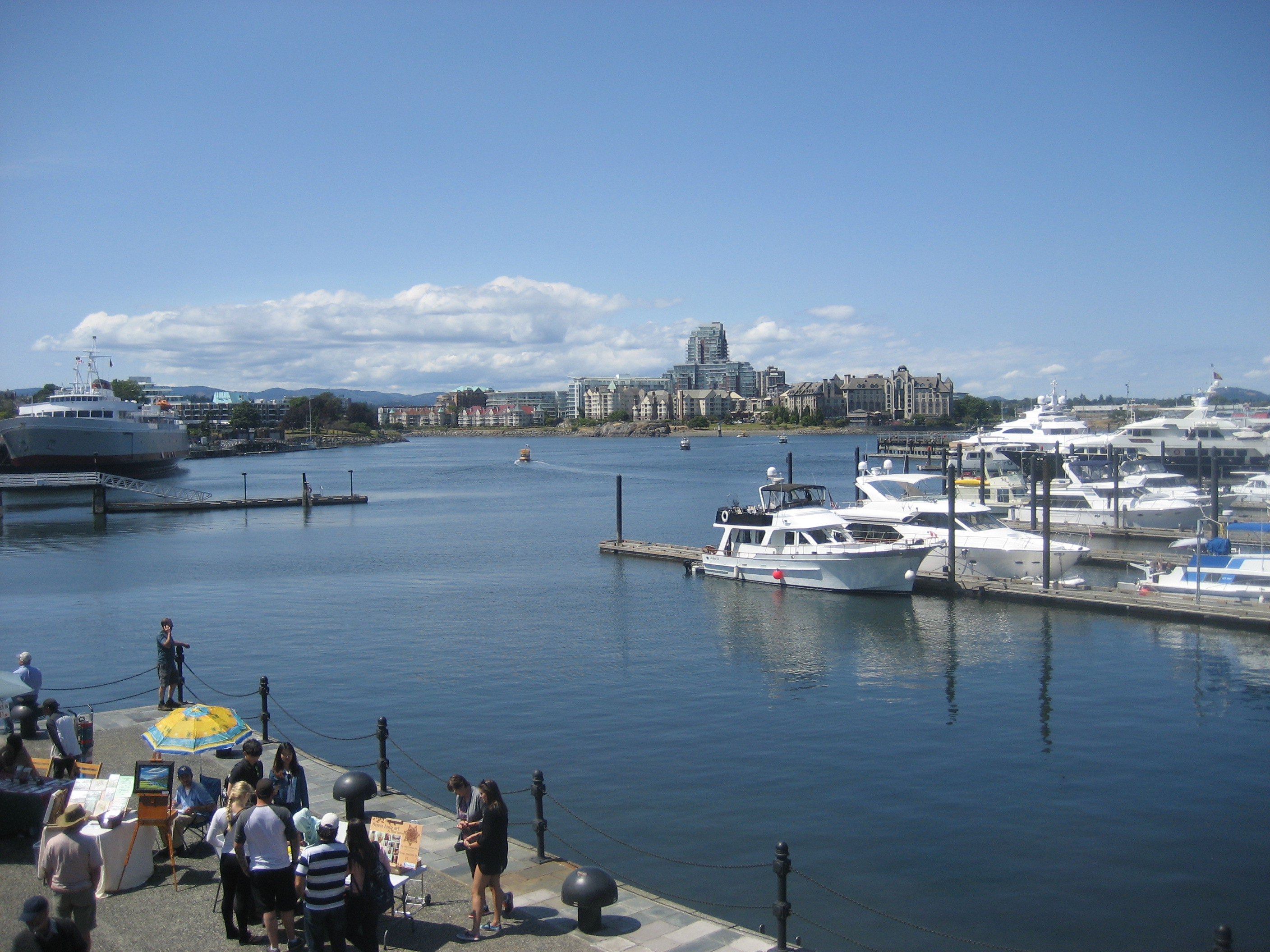
Our walking tour started, just after I had paid homage to the Queen.  We began at the old harbour, which guide Mark Albany, of the Songhees Nation, explained was traditional Aboriginal fishing ground, though the harbour was largely filled in by the British, for the sake of commerce.  It is about half the size of its pre-British days.

090

Mark was an incisive, fast-moving human encyclopedia.

094

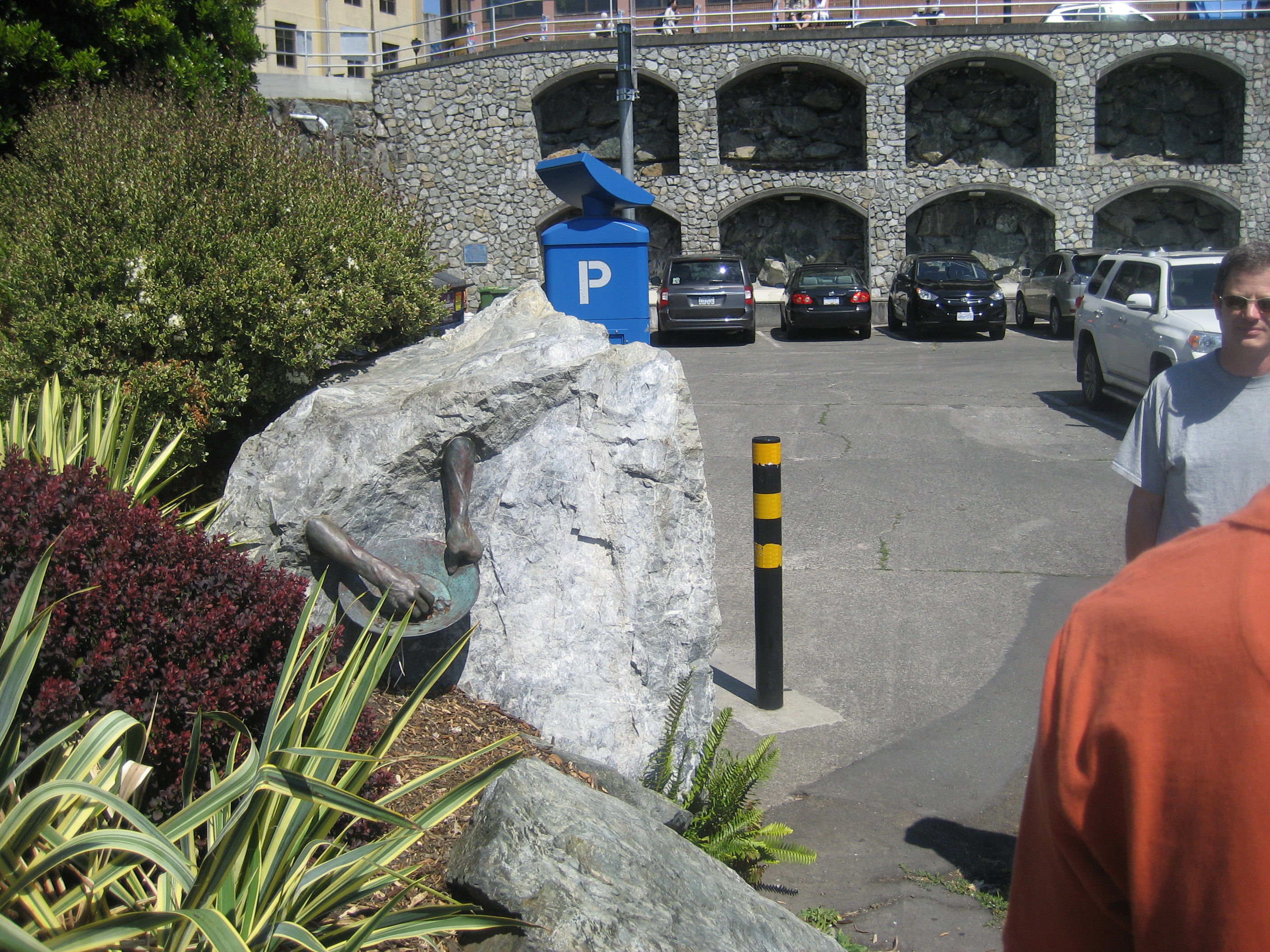
Human hand and arm sculptures appear at five points, in downtown Victoria.  They honour the industry of all workers, who built the city, into a vibrant port.

098

These Romanesque supports for the downtown evoked Rouen and Vannes, France, for me.

099

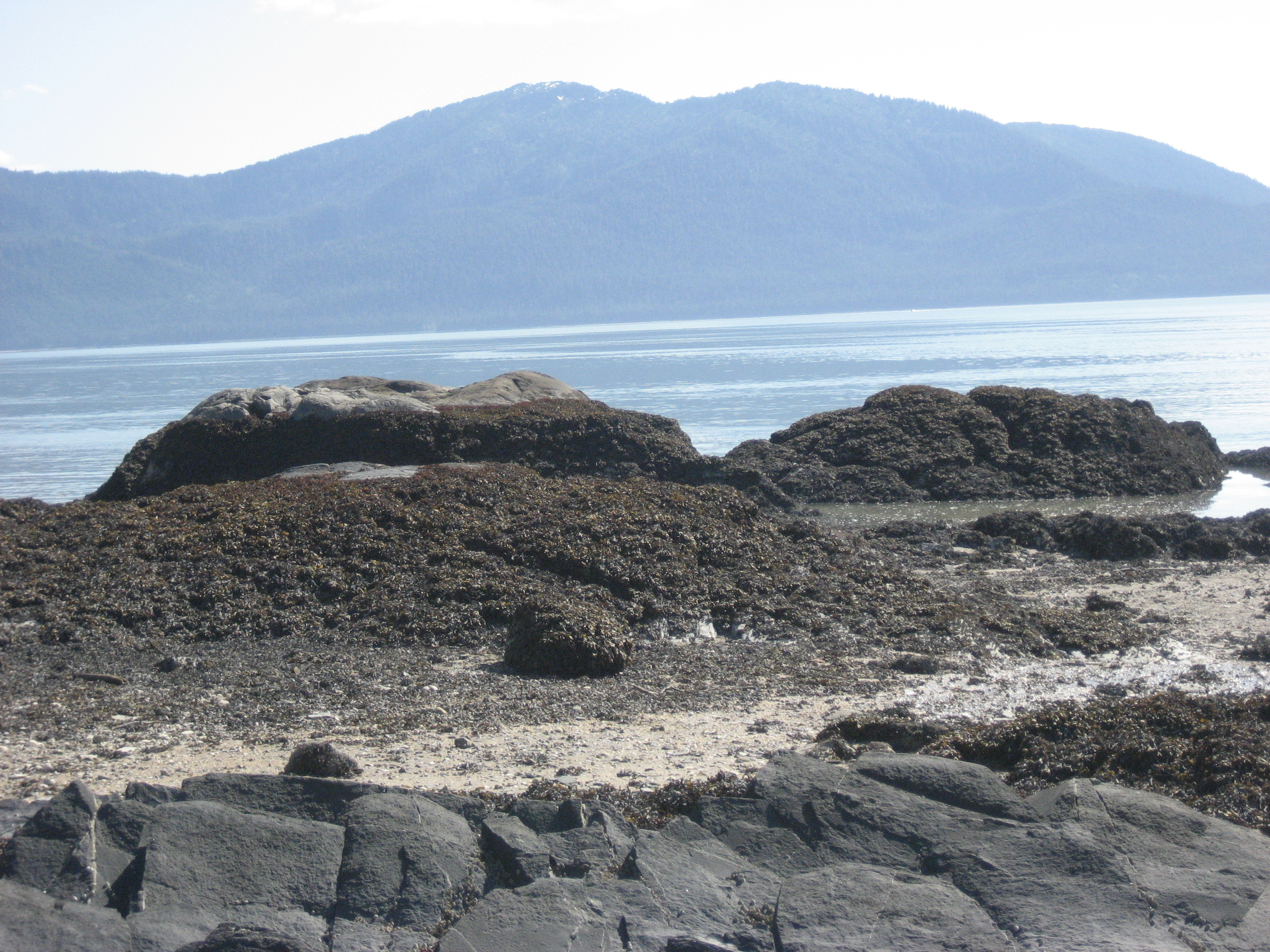
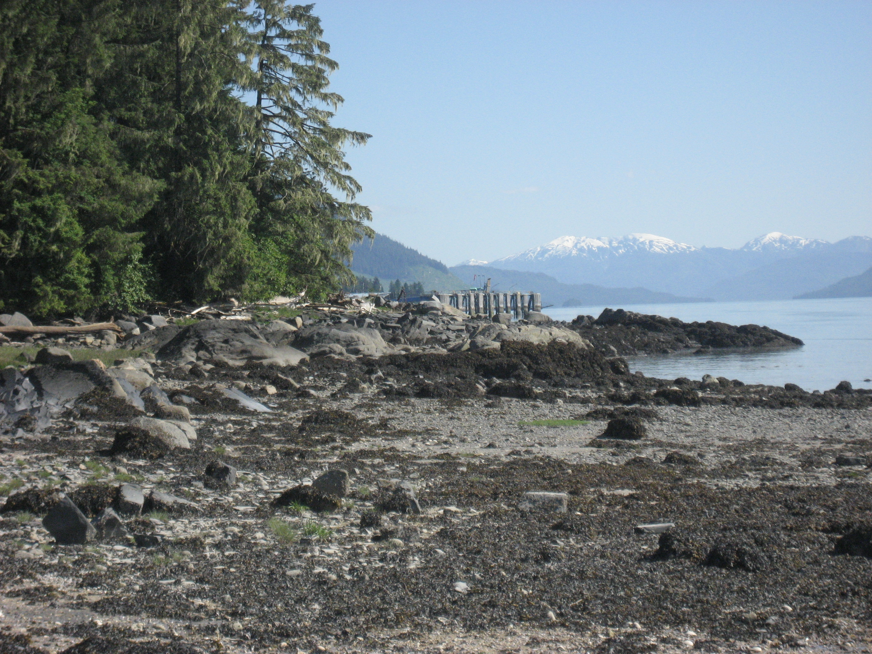
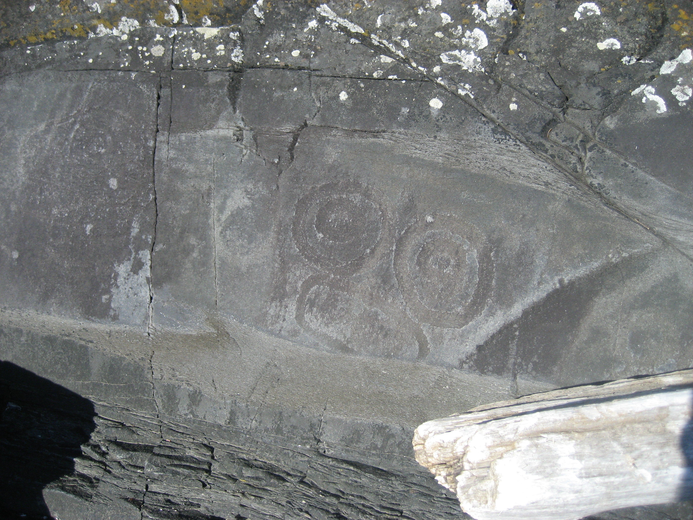
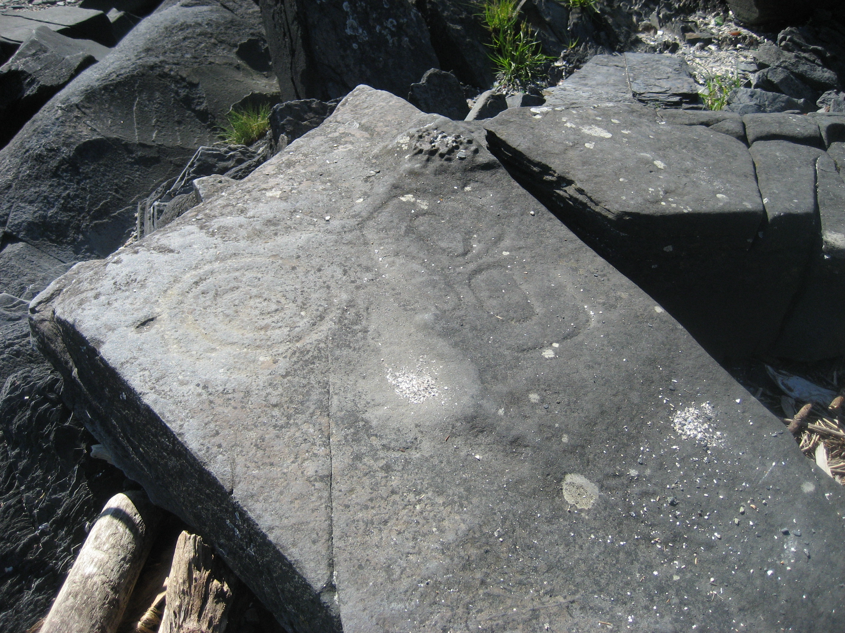
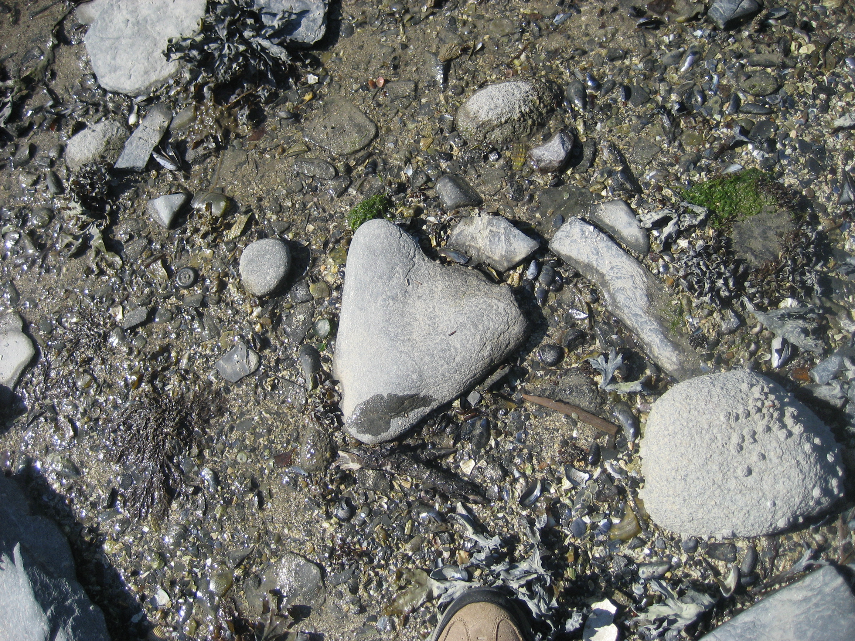
Aboriginal kitchen middens have been preserved, at the water’s edge, by the City Council, as an archaeological zone.

102

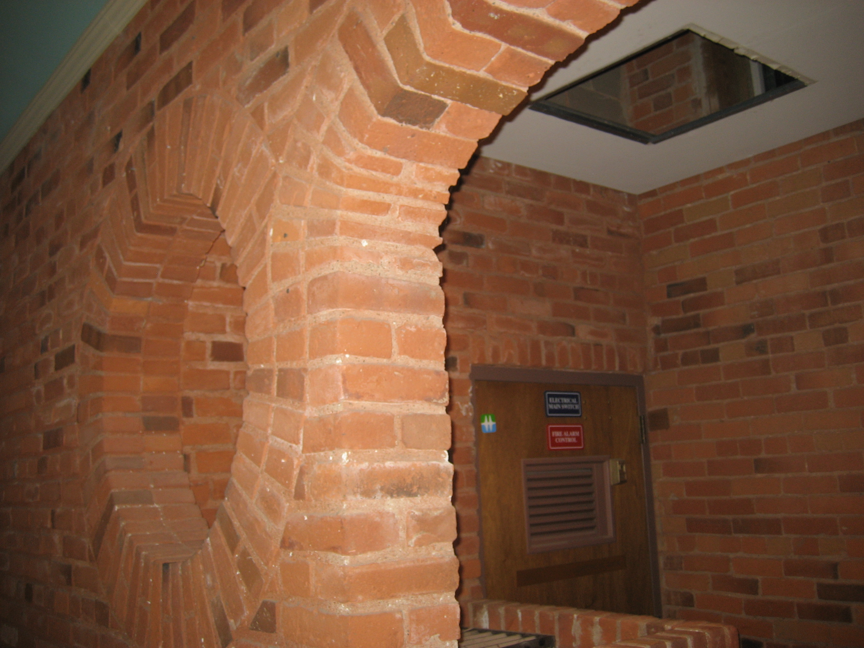
Mark took us in and around the remnants of the Bastion, the original British seaside fortress, meant to defend against the Spanish and Russians, as well as against any Aboriginals who might have had depredatory intentions.

107

110

As you might guess, part of this building is now used as a wine cellar.

111

We looked around the old commercial district, where Mark noted the contrast between the British division of property into parcels, and the Aboriginal notion of land being for common use.

118

The original cobbles of Victoria’s streets were built of Douglas fir.

123

As this was soon found to be an unwieldy practice, the British turned to stone and pressed glass pavers for their streets.

124

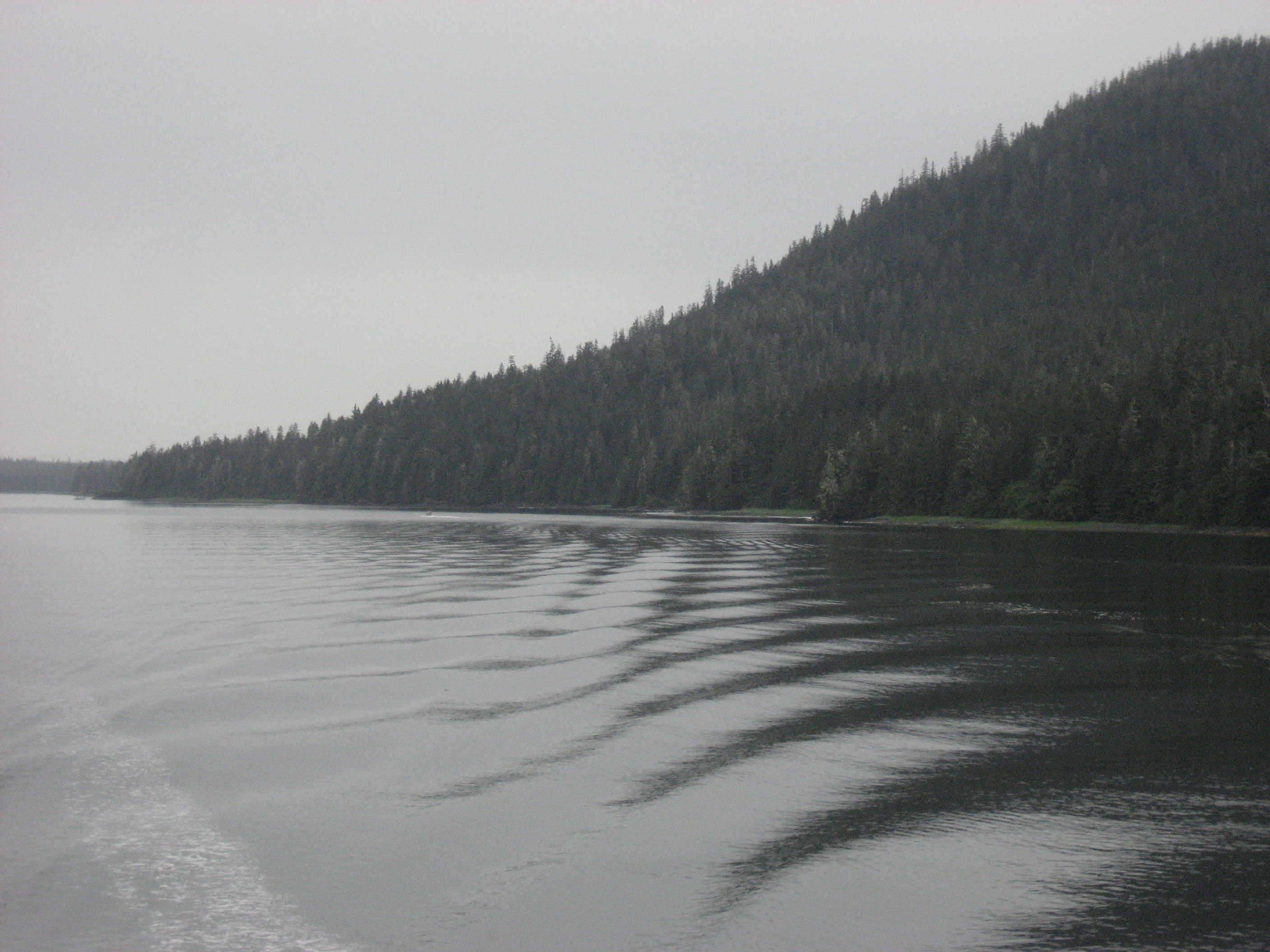
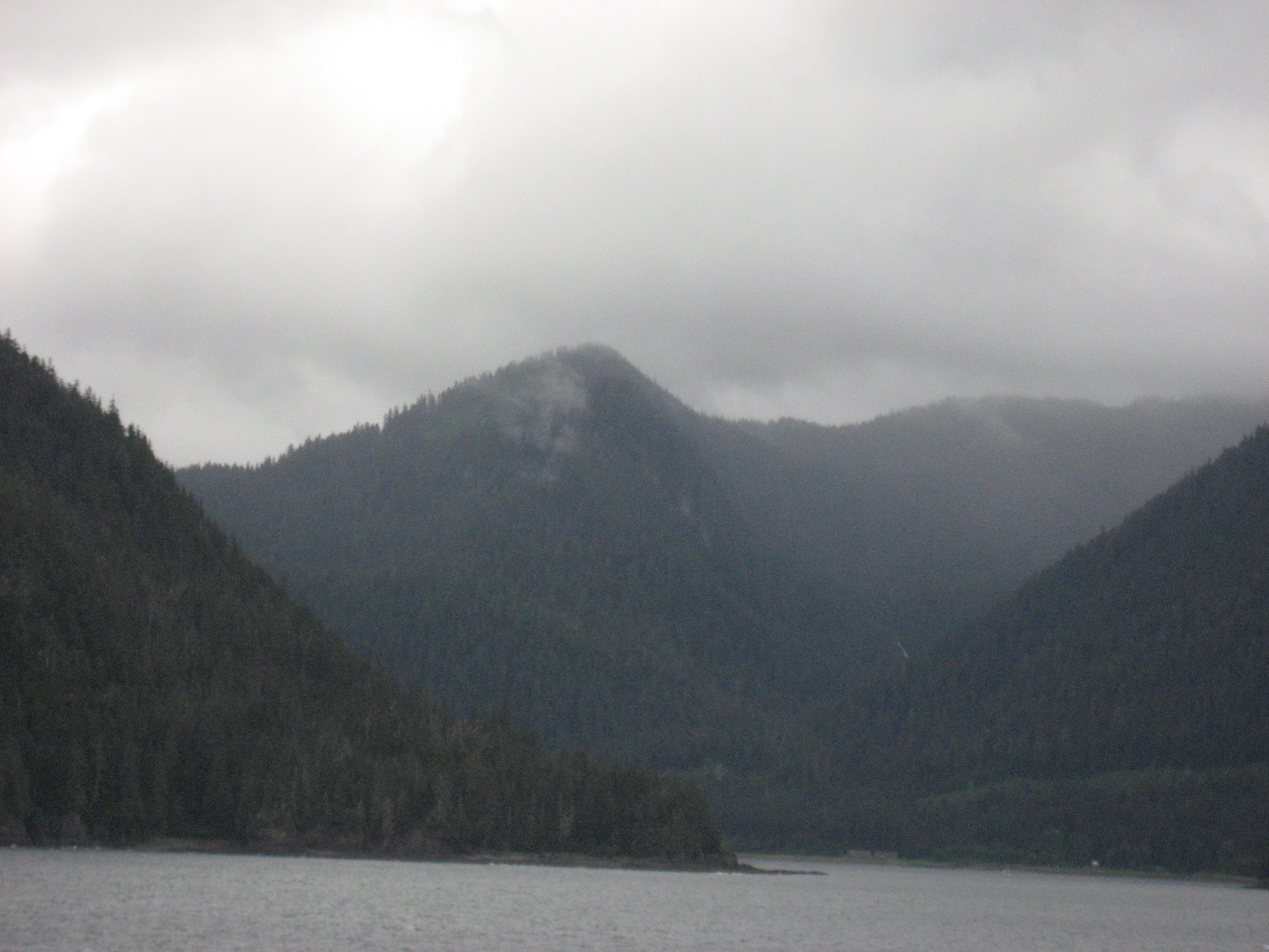
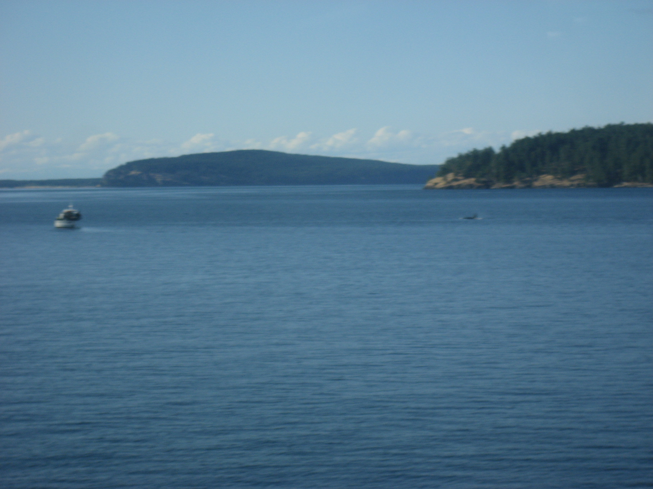
I had to bid farewell to Mark,the group (who were mostly Victoria residents, just learning about their city from a First Nations perspective) and to fair Victoria.  As the ferry back to Anacortes passed into the strait, a pair of orcas were engaged in feeding.

138

It wasn’t quite sunset, but the red sails were out.

146

The trimast also was out, seeking cetaceans for the evening.

148

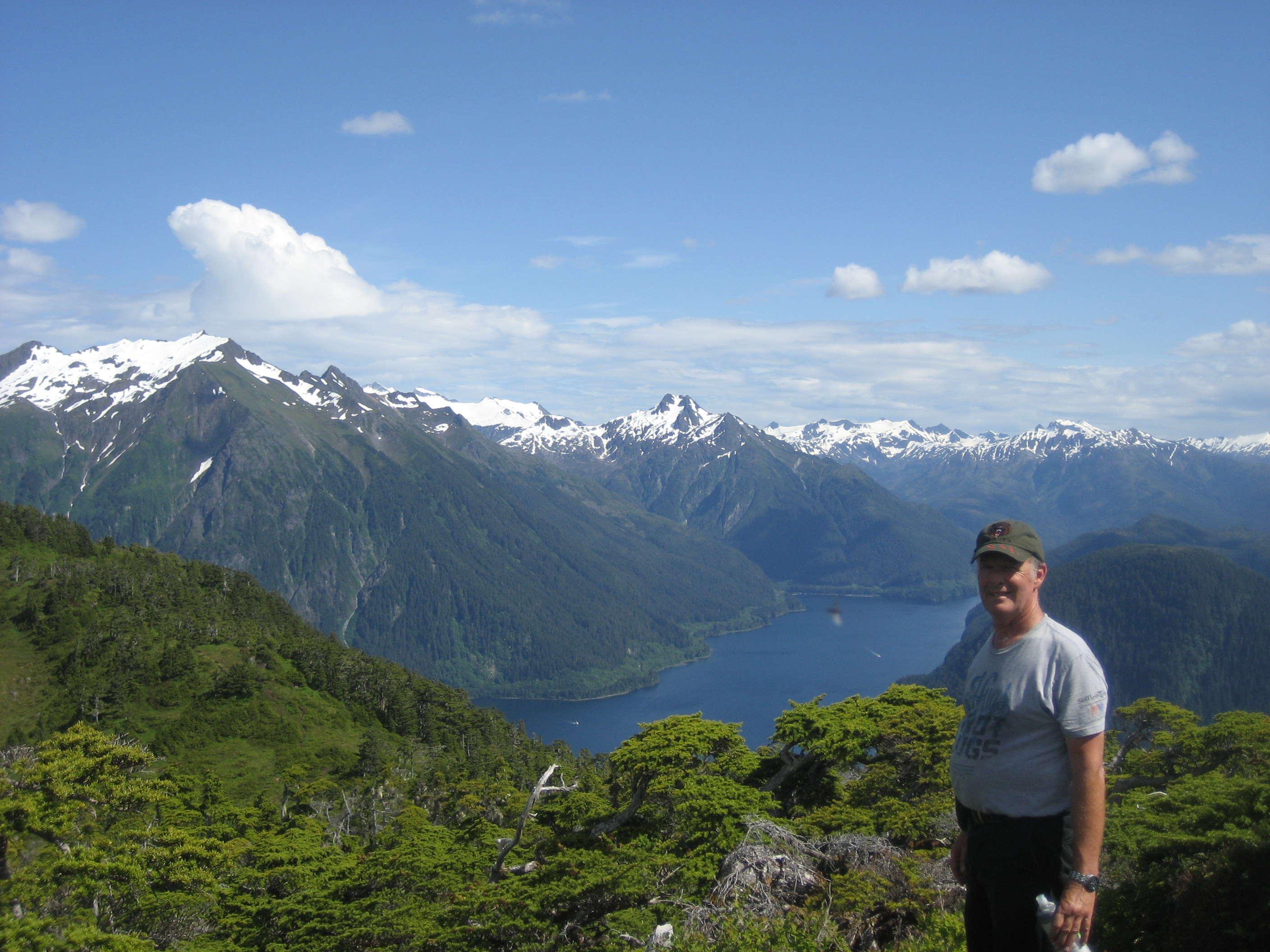
I was favourably impressed with Victoria, and will set aside more time, strictly for Vancouver Island, on some future jaunt.  For now, though, thought must be given to other areas of the Northwest, before I head southward to my base.

The Road to 65, Mile 203: Evergreen Crossings, Day 1: Anacortes

8

June 19, 2015, Anacortes- The ferry brought me in to Bellingham, right on schedule.  Taking my sick camera to a Best Buy, in nearby Burlington, for shipment off to a fix-it shop, was my first priority.  While waiting for the store to open, I got some coffee and a muffin, and saw the horror we had missed, whilst aboard ship:  The Charleston Massacre.  I was numb, for a few minutes, then throw-the-book-at-him angry, that this should continue to happen, in the middle of 2015- the midmost heart of the second decade of the 21st Century.  Thought then took over- I had just been in a fairly isolated environment, with little interaction with anyone, for nearly two days.  There were, however, people of all “racial” groups aboard, and the crew was well-blended.  This reflects the Alaska of 2015, which ought to, in turn, reflect the America of this same year.  Yet, hearts don’t change.  People hold on to the most quotidian of symbols- a gun, an outmoded flag, as if these guarantee some sort of shield from a malevolent external force.  Perhaps, in a way, they do.  Does that mean, however, that these symbols may be used as malevolent forces of their own- and against people who have been NOTHING BUT LOVING to the individual who now attacks them?

I had to carry on, though, and did, choosing the comforting and picturesque ferry port of Anacortes, as a place to settle for one day, and just walk about, after a comforting nap at Holiday Motel.  It’s run by two of the nicest hoteliers I have encountered in the “lower 48”, though I have to say that, how I perceive people is usually how they end up being.

Anacortes has an old church, which is now for sale. Other denominations seem to be thriving, but not this Congregationalist parish.  Perhaps it moved over to the west side of town.

871

I wandered around the east harbour, where there is a skate park, a yacht club and several container vessels.  East Anacortes seems to be the more industrial part of town.

874

Street art seems to be everywhere, these days, and Anacortes has its fair share.  There is a Music Festival coming here soon.

878

I visited the Performing Arts Center’s grounds, after hours, and was overjoyed to see its name.

879

The venue is to be very active, tomorrow.  I will, however, be in Victoria, BC, for a National Aboriginal Canadians Day festival.  Still, this is another very comforting thing about this little port.

880

Hearts come in all shapes and sizes.

888

They can also be complex.

892

I wonder if Juliet, or Rapunzel, would favour such a balcony ?

890

Perhaps, if her suitor were to proffer such a mix of flowers as this.

894

Wandering, reluctantly, away from Hearts of Anacortes, I found a gem of a different sort.  The city includes a waterfront park, at the north harbour. The wharves are largely given over to disuse, and are therefore welcoming to some cormorants.

895

Could this pass for a dog, or an alligator?  Driftwood does inspire flights of fancy.

898

Spying a fossil shell was a treat.

901

It appears Nature has her own pictographs.902

There were a few other intrepid souls out, enjoying this special park.  It is a good mark for a community, when it takes the best of what is placed in its midst.  If I ever felt the need to leave Prescott, for another base, Anacortes would be on my short list.

The Road to 65, Mile 201: Southeast IS Northwest, Day 10- More Totems, and More Floating

2

June 17, 2015, Ketchikan- I was fortunate today, to have the hostel agree, European-style, to hold my bags until it was near time for my ride to the ferry terminal.  The ten-day Alaskan experience was coming to a close.  I have enjoyed a fairly good taste of “Southeast”, and this last day on land, in Ketchikan, was no exception.  I had breakfast in two different venues:  A street stall, across from the Cruise Ship docks, which had fairly good muffins and coffee.,and in Sweet Mermaids, where the steel cut oatmeal and fresh berries were accompanied by an hour of WiFi.

When I was first walking around the waterfront, this morning, a man called out- “You, from Arizona!  How do you like Southeast?”   Hmmm, do Arizonans stick out?  Of course, I told him I thought the region was exquisite and that I was having a great time.  Turns out, he is from Scottsdale, and knew the Methodist pastor, who is from Tucson.  Even in a busy tourist venue like Ketchikan, word gets around fast.

This is the street where the stall is located.

771

I spent some time walking along and observing the fisherfolk.  This craft was in the channel, just off Saxman.

772

Saxman, two miles south of downtown Ketchikan, is a Tlingit village, named fro a great local teacher, who died in the line of service to his community.

806

There are several totem poles, both honourific and modern, which comprise a public park.  Tourists wishing to visit the ceremonial hall and carving studio, must pay $ 5 per person, cash only.  The outside, however, is free of charge.  I bought a hand-made rattle, from the Village Store, and will use it at a Drum Circle which some friends back in AZ have, every month.

As you can see, many of the totem poles are well-maintained by their clan moieties.

790

792

Frogs are seen as protectors and sentinels of the water.

795

796

The guardian totems here are properly greeting the visitors.

800

Here is a view of the totem field.

811

Abe Lincoln stands in exile, so situated because of his treatment of the Lakota Sioux, to which the Tlingit and Haida people take great umbrage.

808

This is the exterior of the Ceremonial Hall, where drumming and singing take place.

802

This is the taxi driver’s pride and joy.

819

Street signs are in English and Tlingit.  The Tlingit language is offered in public schools, throughout southeast Alaska, and in coastal British Columbia.

820

Well, after this visit and a lunch at Polar Treats, downtown, it was time for me to head to the ferry. My Ketchikan friend, Ms. Chapman, took me to the terminal, and I bid a fond farewell to my new friends and communities of this magical set of peninsulas and islands.

826

The people who work the ship are also embedded in my heart.  After two days together, on the way up, several of the crew somehow remembered me, when I showed up again for meals and around the ship.

A couple of orcas were off the port side of the ship, as we left U.S. waters.

827

Green Island Light is manned by a Canadian family, who stay for a period of three months, then are succeeded by another family.

831

Cold and mist were the Alaskan farewell, as we headed into the waters off British Columbia.  I will be back some day.832

The Road to 65, Mile 200: Southeast IS Northwest, Day 9- Skyward to Ketchikan

1

June 16, 2015, Ketchikan- Actually, the flight from Sitka to Ketchikan lasts 49 minutes.  My friend in Sitka gave me a ride over to Gutierrez International Airport (all border fields are “International”), and from there it was a puddle jump, though in a conventional aircraft that was going from Anchorage to Seattle.

The Ketchikan Airport is on Gravina Island, from which one must take a $6, five-minute ferry, to the city proper, then a $5 taxi ride to the Main Ferry Terminal, from whence a city bus will take the visitor downtown.  I was told the Gravina Bridge was the Bridge to Nowhere that was never completed.  It was not a big deal to me- just a half-hour or so, of local colour.

Ketchikan does have its share of colourful characters, at all points along the human spectrum.  I found myself next to a tough fishwife who was loudly telling someone over the phone about how f*%#@ crazy her teen daughter was acting, as the girl was standing there, rolling her eyes.  A few minutes later, I arrived at the Methodist Church, where the kindly  pastor-emeritus welcomed me to their hostel and explained that only a church-approved Internet connection was available.  Since that link was not working, I ended up going to two different places to WiFi, the next day.  The hostel itself was adequate to my needs, otherwise.

My Ketchikan circuit began at the Tongass Visitors Center, a US Forest Service facility, which does an excellent job at explaining the various aspects of Tongass National Forest, its creatures, the surrounding sea and Man’s interaction with all of them.  There is a complicated balance at play here:  A thin soil layer, trees growing seemingly atop one another, the Native Alaskan understanding of land and sea use, European notions of said use and climate change- which is affecting the area far more dramatically than some other parts of the world, and people on Revillagigedo Island (pronounced by locals as it looks- Reh-vill-ah-GIG-eh-do), on which Ketchikan is located, are less skeptical of the changes than some are, elsewhere.685

Prior to a meeting with friends, later this evening, I made a circuit of the harbour, Ketchikan Totem Heritage Center, City Park, Married Man’s Trail and back to downtown.  As you can see, the fishing part of Ketchikan is very lively.

688

Stensland Bayside is constantly being dredged and monitored, for seabed shifting, due to low-level seismic activity.

693

Thomas Basin, the older of Ketchikan’s marinas, is the favoured mooring for Tlingit fishermen.

695

Traditional totems adorn the wharf.

698

706

I walked up through the Ketchikan Native Community, to this thoughtfully-prepared facility.

710

Both indoor and outdoor totems adorn this lovely park.  A docent does double-duty, between here and the Tongass Museum, a city property, not to be confused with the USFS Visitor Center.

711

713

716

As you might have guessed by now, totem poles come in all heights and tell various stories, depending on the clanship of the carver(s).  Below, is one of the original Tlingit totem poles in the Ketchikan area.

721

I followed Ketchikan Creek, from City Park, where it helps with a series of salmon ladders, to its confluence with the sea, near downtown.

719

730

The thin soil and the water action leave trees to fend for themselves, root-wise.

736

The Creek is variously calm and rambunctious, like all Alaskan waterways.

739

741

Married Man’s Trail takes commitment.744

746

742

African-Americans have had a key role to play in Alaskan life, since 1867.  Miss Annie was a fighter for women’s rights, before suffrage.

753

I met my friend, Ms. Chapman, downtown and went to a brief meeting at the Recreation Center.  While she was tending to other business afterward, I went over to Annabelle’s for fine Alaskan cuisine.

761

This tunnel goes under a rail link, and takes traffic from downtown to the ferry terminal.

763

I took these stairs to get to the hostel, where I again met Ms. Chapman.

764

From there, we went over to the evening meeting, which she and her daughter hosted.  This is a view from her neighbourhood.

768

this is a cat’s eye view of the world.

769

My hosts were gracious, in the Alaska tradition.

770

So, my first of two days in Ketchikan was certainly very full.  So, too, would be the second day.

The Road to 65, Mile 199: Southeast IS Northwest, Day 8- Under The Eagles’ Gaze

9

June 15, 2015, Sitka-

 It’s said by the locals here, that eagles in Sitka are like pigeons elsewhere, and that black bears are like rats.  I didn’t see any bears, anywhere in southeast Alaska, but there were eagles aplenty, thought they took exception to photography, most of the time.

656

There have been eagles perched on the steeple of the Lutheran Church, and atop the adjacent St. Michael’s Eastern Orthodox Cathedral.

499

The Lutheran Church was built to accommodate Finnish shipwrights, who were brought to Sitka, both to build and repair ships, and to build the Russian Bishop’s House.  The house was the residence of the man now known as St. Innocent.  The church was placed across the street from the Orthodox Church, mostly so that the bishop could keep an eye on the Finns.

Both churches burned to the ground, in 1966.  Both have, of course, been rebuilt, and both are still active institutions in Sitka life.

523

The Lutheran Church is austere, though it has a fine old organ.

503

The Orthodox Church is replete with the gold, for which that denomination is well-known.

514

After looking at the interiors of the churches, I went to investigate the central waterfront.  A local boy was quite impressed with the work of a Haida canoe builder.  He was busy telling some other unruly kids to stay out of the canoe.

537

The Russian Bishop’s House is the centerpiece of Sitka National Historic Site.

560

I took a guided tour of the upstairs.  The docent explained that the home was built by Finnish shipwrights.  Their methods are obvious here, even today.

561

The Southeast Alaska Marine Center keeps close watch on sea stars, and other key creatures, as well as maintaining active fish-spawning ladders, primarily for salmon.  Volunteers, including our hostel manager, Katherine, are checking the beaches, most days, for marine creature health.

611

616This is Whale Park, to which our friend, Mary, took us, as part of her guided visit to the north and south ends of the island.

653

I visited the Totem Pole Trail on my own, prior to Mary’s guiding my new friend, A.,, and me.

Every town in the Pacific Northwest has totem pole displays.

622

For the most part, the totem poles on display are replicas.  Those in the wire cage below, are originals.  All on this site, and elsewhere, are sacred to the Tlingit, Tsimshian and Haida people, throughout the southeast islands and peninsulas.

626

This pole marks the site of the Battle of Sitka, in 1704, in which the Russians defeated an army of Tlingits.  To this day, Tlingits look upon Russians with grave suspicion.

643

A. and I were photographed separately, at the south end signpost.658

The north end of the island has an artesian well, from which many locals obtain their drinking water.

666

Our last stop in Sitka, that evening, was the Baranof Totem Pole,  on Castle Hill,so built for Count Baranof, one of the last Russian governors of the territory.

672

I ended my time in Sitka, early the next morning, flying out to Ketchikan, on which I began Mile 200.

The Road to 65, Mile 198- Southeast IS Northwest, Day 7: On Sitka’s Pinnacle

11

June 14, 2015, Sitka-  The fast ferry from Juneau made it through some narrow channels, in five hours.  Sitka is the premier site of preserved Russian influence in the United States.  There are other such sites, most notably Fort Bragg, CA, but Sitka was Base Camp for Governor Baranof and the Czar’s forces of occupation.  Only when financial matters took precedence, did Alaska pass out from under royal fiefdom.

I came here with a friend, met at the Juneau Hostel, and we determined to hike one of the island’s peaks, as the weather had returned to picture book perfection. The choice was Mt. Verstovia, two miles south southeast of town.

of course, we couldn’t start without first having a light lunch at a food truck.

426

A taxi took us the two miles to the trailhead.430

Mt. Verstovia had significance to the early Russian colonists, who heated their simple homes with wood and used charcoal for cooking.433

My young friend and her husband collect heart-shaped stones, so my penchant for coming across them piqued her interest.  Of course, being in a national forest. this stayed put.

443

At the 1.2 mile mark, this was the view to the west.

446

450

Most of the trail involved steps and switchbacks.  The moss made the descent a bit of a challenge- but what an unparalleled trail!

453

Mountaineers no doubt feel the call, when looking northward.

457

Once at the end of the maintained trail, the true peak of Mt. Verstovia called out, as well.  A few young men headed over to check it out.459

Most of us, though, were satisfied with Picnic Rock, and the 2480 foot ascent.

465

I have a long ways to go, in getting trim, but a few more like this will help greatly.

469

We spent about four hours on the mountain, including all the time spent gazing at the various surrounding sights.

The Road to 65, Mile 197: Southeast IS Northwest, Day 6 at Mendenhall Glacier

5

272June 13, 2015, Juneau- I elected to spend this Saturday, as an extra day here, so as to spend several hours in the vicinity of Mendenhall, the nearest and most accessible glacier- as well as being a prime example of the changes which our Earth is undergoing.

The glacier’s stewards have carefully marked its retreat, and masses of people from all over the world come here to walk the Trail Through Time, on which a docent carefully points out the now solid ground that was covered by the  Mendenhall, on given years in the not so distant past.  Now, it, along with Le Conte and other glaciers in southeast Alaska, is calving icebergs constantly, each year.

273

Despite its retreat, Mendenhall remains a thing of wonder.274

This is the closest that visitors can get to the great ice field.281

The icebergs, in turn are feeding this glacial lake.  Perhaps it, someday, will revert to ice.

282

Nugget Creek, and its great Falls, are new wonders, that have only recently been released from their prison of ice.

284

A random daredevil chose to test the temperature.  A ranger was en route to check on his well-being, as I headed for East Glacier Loop trail.

290

Part of East Glacier Loop is contained within the Trail Through Time, which tracks the glacier at its peak and through its retreat, by showing where Mendenhall was, in what year.293

This tree-hollow cavelet would have been far under ice, in 1950, for example.

321

So, too, would this rain forest floor.295

296

299

As with all retreating glaciers, great boulders are left in Mendenhall’s wake.301

East Glacier Trail offers a “top-down” perspective, on its creator.302

AJ Falls, west of Nugget Creek, is the cascade of one of two tributaries of Nugget Creek.303

Notice that ice is not the only expansive element in this area.  Moss is everywhere, in the temperate rain forest.305

The clarity of the Mendenhall’s ponds lends itself to some intrepid families allowing children to swim in them, provided there are no bears present.308

Nugget Creek, compared to its Falls, is a modicum of serenity.314

These are views from the crest of East Glacier Trail.

315

316

I spent some time at the crest, talking with a local tour guide.  She has lived in Juneau for over 40 years, Steep Falls

and has, to her chagrin, watched Mendenhall shrink, inexorably.  She, like many hikers, took a

counterclockwise approach to the trail.  I hiked in a clockwise direction, as is my wont, and thus went down these stairs, instead of up.319

Steep Falls, at the west end of the trail, is the second tributary cascade of Nugget Creek.

327

328

It remains to be seen, as to which direction the glaciers of southeast Alaska,and of the world, will go, as our planet’s history progresses.  Mendenhall, Tracy Arm, LeConte Glacier and Glacier Bay, are all worth monitoring, and that’s just in the southeast.  The rest of the Last Frontier more than hold sits own, in the ice field department-for now.

The Road to 65, Mile 195: Southeast IS Northwest, Day Four- Juneau

10

June 11, 2015, Juneau- There is no such thing as a wasted day, unless one revels in wastefulness.  Rain fell, constantly, during my first full day in the Alaskan capital.  One must take what is, however, and so I first headed over to the nearest coffee house:  Heritage Coffee, in the heart of downtown.  I had about 1 1/2 hours of wi fi, for the price of coffee and a scone, before whoever runs the wifi pulled the plug, and I moved on.

IMG_0964

Thus, I took in the fullness of downtown Juneau, and gradually moved uphill.

IMG_0967

St. Nicholas Orthodox Church became a refuge for the Tlingit people, in the 1880’s and ’90’s, when American Christian groups insisted they give up their language and customs.  The Russian Orthodox missionaries made no such demand.  Therefore, the community remains strong in Juneau.

The Cathedral of the Nativity of the Blessed Virgin Mary has thrived, since the Catholics learned from the success of their Orthodox neighbours.  In truth, the only way to really reach people, especially in spiritual matters, is through their hearts.IMG_0972

The Alaska State Capitol is under renovation now, so no one is allowed inside, as a visitor.  It is one of the most utilitarian, and unadorned of the state capitols, which suits me, and most Alaskans, just fine.

IMG_0973

All this going back and forth was leading me to check my watch, and, yes, it was lunch time.  So, off to Rainbow Foods, the local natural foods market, I went.  Some of my fellow hostelers were stunned, STUNNED, that I didn’t go to Fred Meyer or IGA.  As capable as the chain stores may be, local has more of the ambiance I seek.

IMG_0975

After the lunchtime interlude, I checked out Wickersham House, the early Twentieth Century home of a local judge, and his multi-talented second wife, who built strong, respectful relationships with the Tlingit and Haida people. The house is an Alaskan State Historic Site, and much of the judge’s native arts collection is preserved here.  Note the basketry, figurines and scrimshawed whale bone, below.

IMG_0985

IMG_0987

Next up, was a ninety-minute spiritual study with some local friends, then it was off to the heights above Juneau, with the hardiest of their number.

IMG_0991

Our goal was Ebner Falls, which can be seen from a distance, below.

IMG_0993

IMG_0998

IMG_1002

IMG_1003

Above Ebner Falls, there rises Mount Juneau, accessible by a muddy path.

IMG_0999

The rain was our companion, all during this hike, but the falls are a greater attraction than the precipitation was a deterrent. I went with my friend, Dave P., to his boat, to prepare it for tomorrow’s expedition.  After pizza and salad, with Dave and his wife, my evening was occupied with  helping a young friend to heal herself, with the help of some essential oils.

The Road to 65, Mile 194: Southeast IS Northwest, Day 3, Wrangell to Juneau

2

June 10, 2015, Juneau- Today was a gray, overcast, thoroughly rainy day, headed north.  It was alternately cold and mild, outside.  The sea was alternately deep and black or shallow and emerald green.  No worries here, though, as I was passing from one fabulous community to another.

The ferry this time was the Matsunaga, named for one of Alaska’s most famous valleys.

IMG_0891

We passed by more exhilarating islands, coves and mountains, which I will let speak for themselves.  It was a pensive and relaxing day.

IMG_0892

IMG_0894

IMG_0897

IMG_0903

IMG_0907

IMG_0914

Our only stop, en route, was the largely Norwegian-American community of Petersburg.  I had scant time to leave the ship and explore, so I just stayed on board and was able to take these shots of the town, from deckside.  Note that the homes closest to the harbour are on raised platforms.  This feature reminded me of towns in Louisiana, or the coast of Guyana.IMG_0919

IMG_0923

Patterson Glacier meets the sea, north of Petersburg.  The much larger Le Conte Glacier is just south of Patterson.

IMG_0929

This wispy cloud, in front of the mountain, cast a disconcerting countenance.

IMG_0950

We arrived in Juneau  around 6:15 P.M., and i was whisked to a local Baha’i gathering, where once again, I was welcomed as family.IMG_0956

After this hearty welcome, I headed to Juneau Hostel, where I will spend four nights. during three full days in Alaska’s capital.

IMG_1040

The Road to 65, Mile 193: Southeast IS Northwest, Day Two in Wrangell

4

June 9, 2015, Wrangell- Baron Ferdinand’s little town has grown in my heart, already.  The little family with whom I have been staying is engaging and solicitous.  The community of Baha’i friends, likewise, has spared no warmth and consideration.  That there is amazing scenery around every corner in southeast Alaska doesn’t hurt, either.

I spent the day alternating between hikes and community get-togethers.  The morning began with a walk up to Rainbow Falls, a delectable slice of Tongass National Forest,  four miles south of Wrangell.

IMG_0815

The trail is .6 miles long, and features about 200 steps, mostly on a planked trail.  Wrangell planks its trails, so as to avoid people having to hike in the mud.

IMG_0816

The Tongass is Alaska’s primary temperate canopied rain forest.

IMG_0817

As with any canopied forest, the importance of the forest floor is huge.IMG_0819

IMG_0825

This is the first view of the creek that is fed by the Falls.IMG_0823

IMG_0830

The hanging moss resembles a squirrel tail.IMG_0831

This moss-covered stump, on the other hand, resembles a woolly mammoth.IMG_0832

The first view of Rainbow Falls is the best.IMG_0837

Looking westward, from the trail’s end, gives one another spectacular  view of Fool’s Inlet and Etolin Island, west of Wrangell.IMG_0838

After hiking down, I went downtown and purchased a freshly-made raspberry rhubarb pie, all the better to treat my host family, whilst helping another Baha’i family in its fundraiser for their daughter’s Homecoming Queen candidacy.  Of course, the proceeds would help her with higher education expenses, after high school, as well.  It looks like the pies, and their slices, were selling as fast as they were being delivered.

Following a brief after-lunch rest, I took in Wrangell’s Nolan Museum, devoted to island history, geology and artifacts.

IMG_0867

This is a Tlingit orca mask.

IMG_0849

I couldn’t decide whether this quartz crystal resembled a Sphinx, or Yoda.

IMG_0845

Wrangell school children sometimes have garnet hunts, and sell the gems for fundraising.IMG_0859

This display shows a traditional Wrangell Island sein and fishing kayak.IMG_0866

Petroglyph Beach, north of Wrangell, was my last nature excursion of the day.

IMG_0869

The basalt and shale along this rather temperate beach availed themselves to those wanting to carve messages, over the centuries.IMG_0871

IMG_0872

IMG_0878

IMG_0879

This smooth slate has not, as yet, drawn a lot of attention.

IMG_0882

I’m told that much of the rock art is on this area, and is only reachable at low tide.

IMG_0875

True to form, i found a heart waiting for me, on Petroglyph Beach.

IMG_0876

In the evening, I attended another Baha’i gathering, and met the Queen of the House.

IMG_0886

Her entourage was also quite feisty.

IMG_0888

So ended my two-day visit to an amazing little town.  I get the sense that the next three towns on my itinerary will be equally special, in their way.  Is there any such thing as a place that isn’t special?